







Vilan
From Seewis follow the road to Plileisch where the ascent track usually begins. Then continue north over open slopes and through short forest sections via Falliser to Wurzaneina (1535 m a.s.l.). Via the...
From Seewis follow the road to Plileisch where the ascent track usually begins. Then continue north over open slopes and through short forest sections via Falliser to Wurzaneina (1535 m a.s.l.). Via the alpine road, ascend northeast to the Maiensässsiedlung Guora (1564 m a.s.l.). Along the long eastern ridge, pass the huts in Sadreinegg (1891 m a.s.l.), always following the ridge further to the small hollow in the southeast of Vilan (2375 m a.s.l.). The summit is best reached via the steep southeast ridge.
For the descent, there are various options depending on conditions and skill. Along the ascent route, up to Guora north of the ascent track, you usually find better snow conditions than on the ridge.
The difficult, steep descent to the northwest over Messerhaldenspitz (2175 m a.s.l.) to Älpli and further to Malans is only recommended in good conditions and with sufficient snow down to the valley.

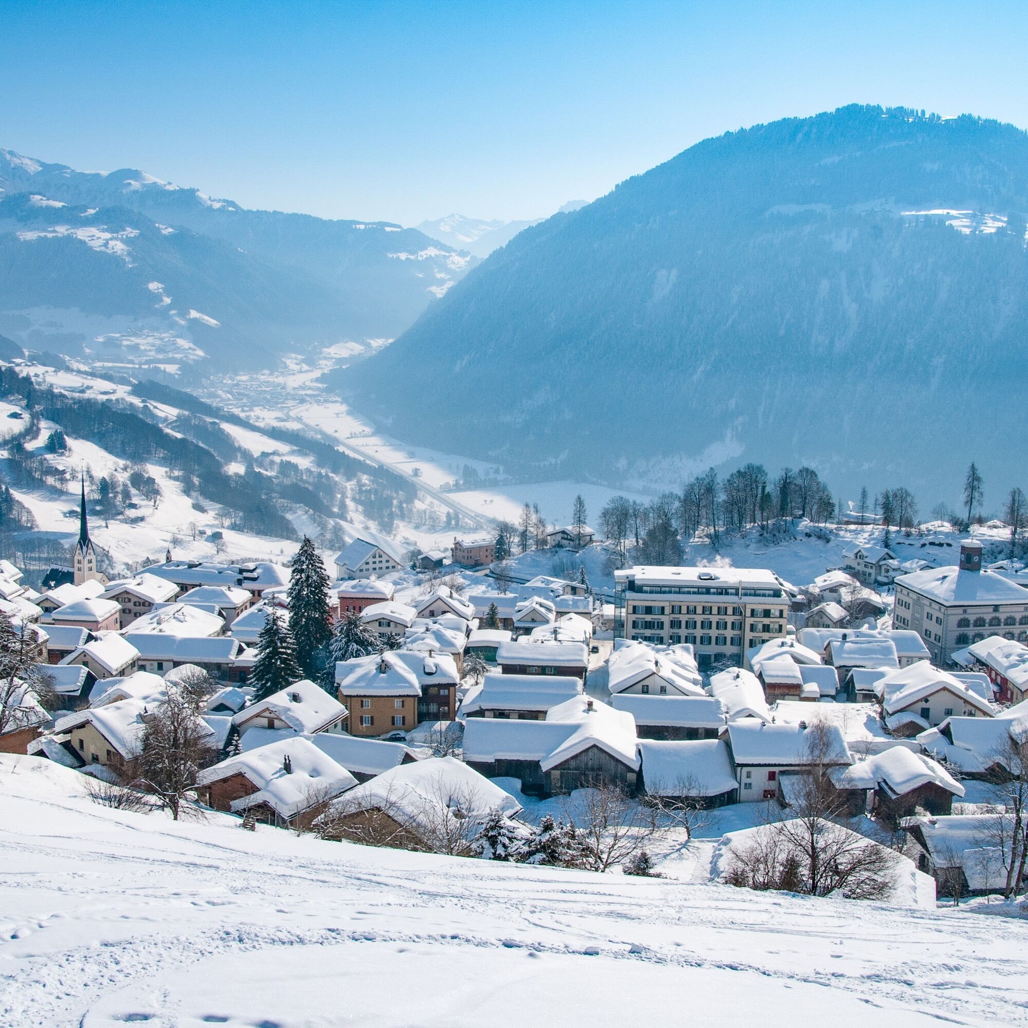
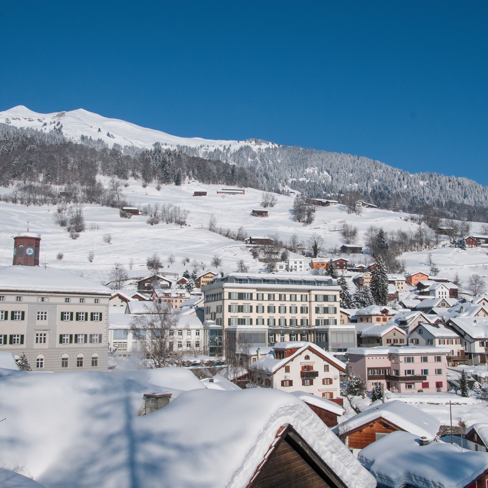
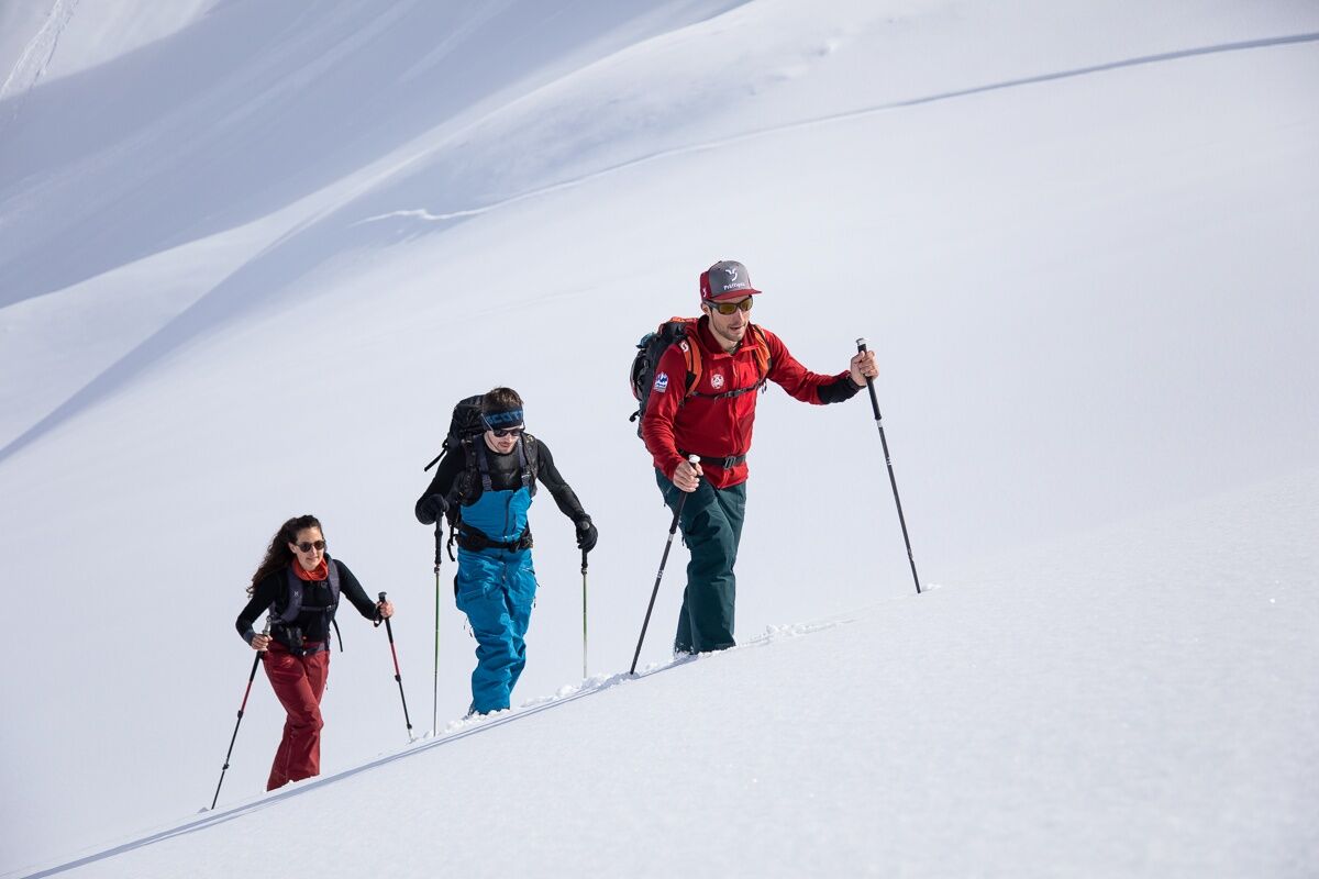

Seewis (947 m a.s.l.) - Fallider (1312 m a.s.l.) - Wurzaneina (1535 m a.s.l.) - Guora (1564 m a.s.l.) - Sadreinegg (1835 m a.s.l.) - Vilan (2375 m a.s.l.)
Da
Ski route in unsecured terrain. Complete safety equipment (avalanche transceiver, shovel, probe, mobile phone) and knowledge of proper use are indispensable.
The ski and snowshoe routes are to be understood as general directional indications. Depending on conditions, ascent and descent routes must be adapted. No guarantee can be given for the correctness, completeness, and timeliness of the information.
Engaging in ski touring in open terrain is at your own risk. Every tour participant is strongly advised to prepare thoroughly, plan the route, and obtain current information on snow and avalanche conditions. Avalanche report and snow information: www.slf.ch
Liability is denied for accidents resulting from the use of the published information and the route indications.
If in doubt, be accompanied by experienced tourers or a mountain guide: www.praettigau.info/bergfuehrer
On the motorway to Landquart. Take the exit towards Davos. After the tunnel in the Chlus, take the next exit Valzeina, Grüsch, Seewis. Follow signs towards Seewis.
Take the Rhaetian Railway RhB to Grüsch. Change directly to the PostBus to Seewis Dorf (timetable 90.201)
Paid parking in the Leschga car park (the Flensa parking lot should basically only be used for ski operations).
Prättigau Marketing
Feldweg 19
CH-7233 Jenaz
Tel. +41 (0)81 325 11 11
info@praettigau.info
www.praettigau.info
Recharge your energy in one of the inns with regional specialties - the pure mountain air, for which Seewis became known as a spa, comes free of charge.
Spletne kamere s turneje
Pridobite vpogled
Vedno v živo na mestu z več kot 9.500 spletnimi kamerami. bergfex Kot uporabnik Pro si lahko zdaj ogledate ustrezne spletne kamere za številne izlete v aplikaciji izleti iz. Tako si lahko neposredno ogledate trenutne razmere.
Priljubljeni izleti v okolici
-
4.8
Douglashütte - Schesaplana
srednjaPohodništvo 7.31 km -
4.9
Douglasshütte, Lünersee, Gafalljoch Brand bei Bludenz, Vorarlberg
svetlobaPohodništvo 9.16 km -
3.7
Fürstin-Gina-Weg
Pohodništvo 10.7 km -
3.8
Sassweg - von Malbun zum Sass-Seelein
Pohodništvo 4.14 km -
4.9
From Malbun to the Schönberg
srednjaPohodništvo 12.4 km -
4.9
Schesaplana
srednjaVisokogorska tura 5.26 km -
4.7
Tamina Gorge Circular Route
srednjaPohodništvo 14.0 km -
4.6
Pizalun circular route
svetlobaPohodništvo 7.18 km -
3.3
Wanderbares Zalimtal
srednjaPohodništvo 12.2 km -
5.0
Around the Kirchlispitzen (2,552 m)
težkoPohodništvo 14.8 km
Pohodništvo in sledenje


Ne zamudite ponudb in navdiha za naslednje počitnice
Vaš e-poštni naslov je bil dodan na poštni seznam.





