







Piz Grevasalvas

Stopnja težavnosti: PD
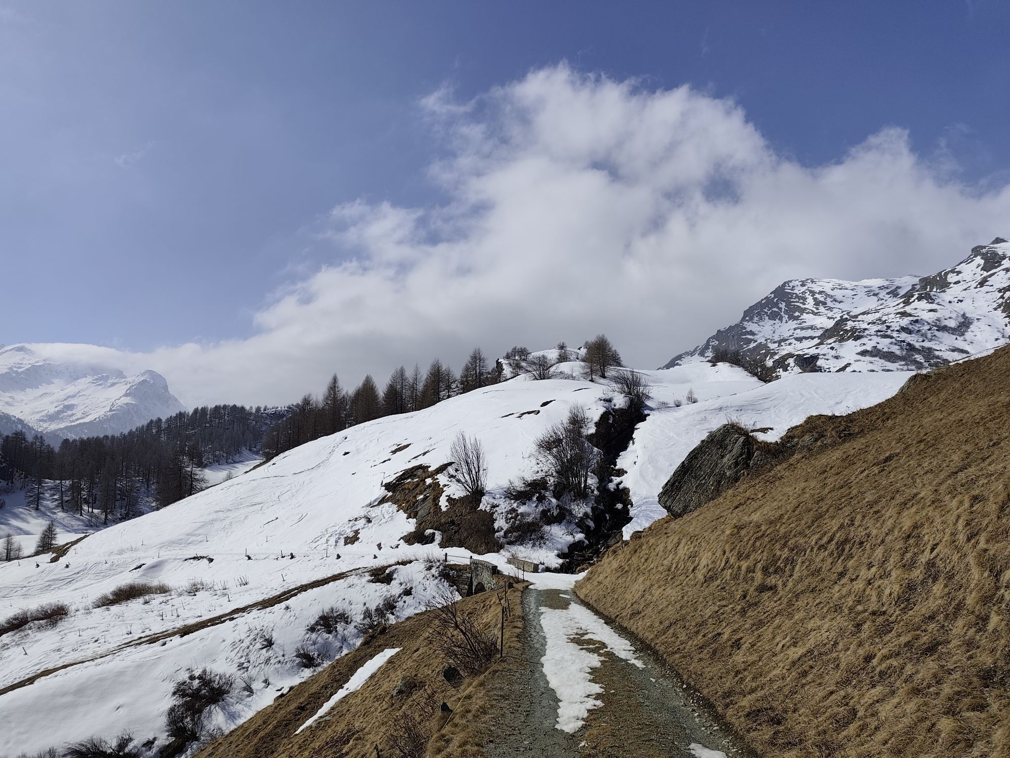
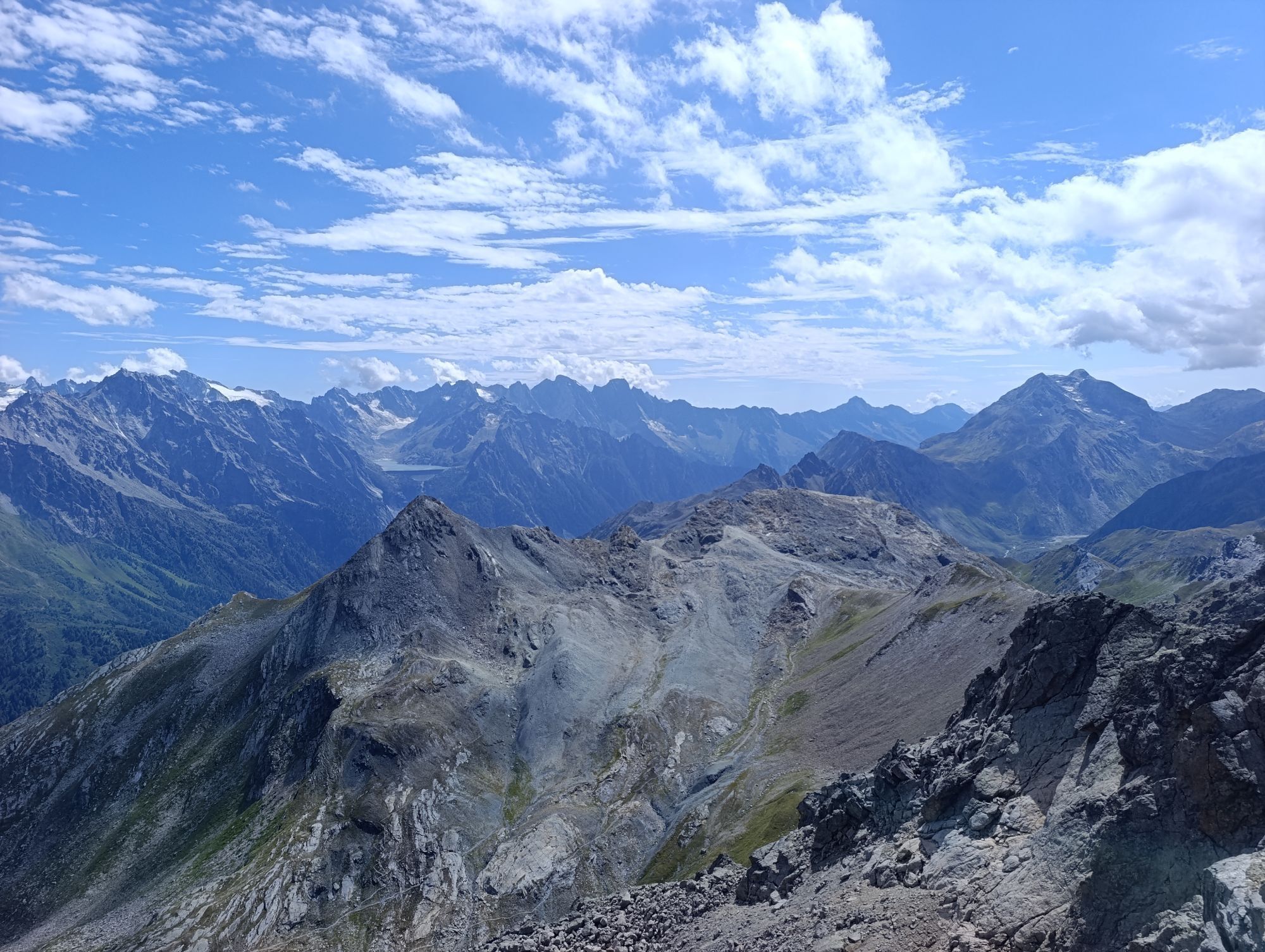
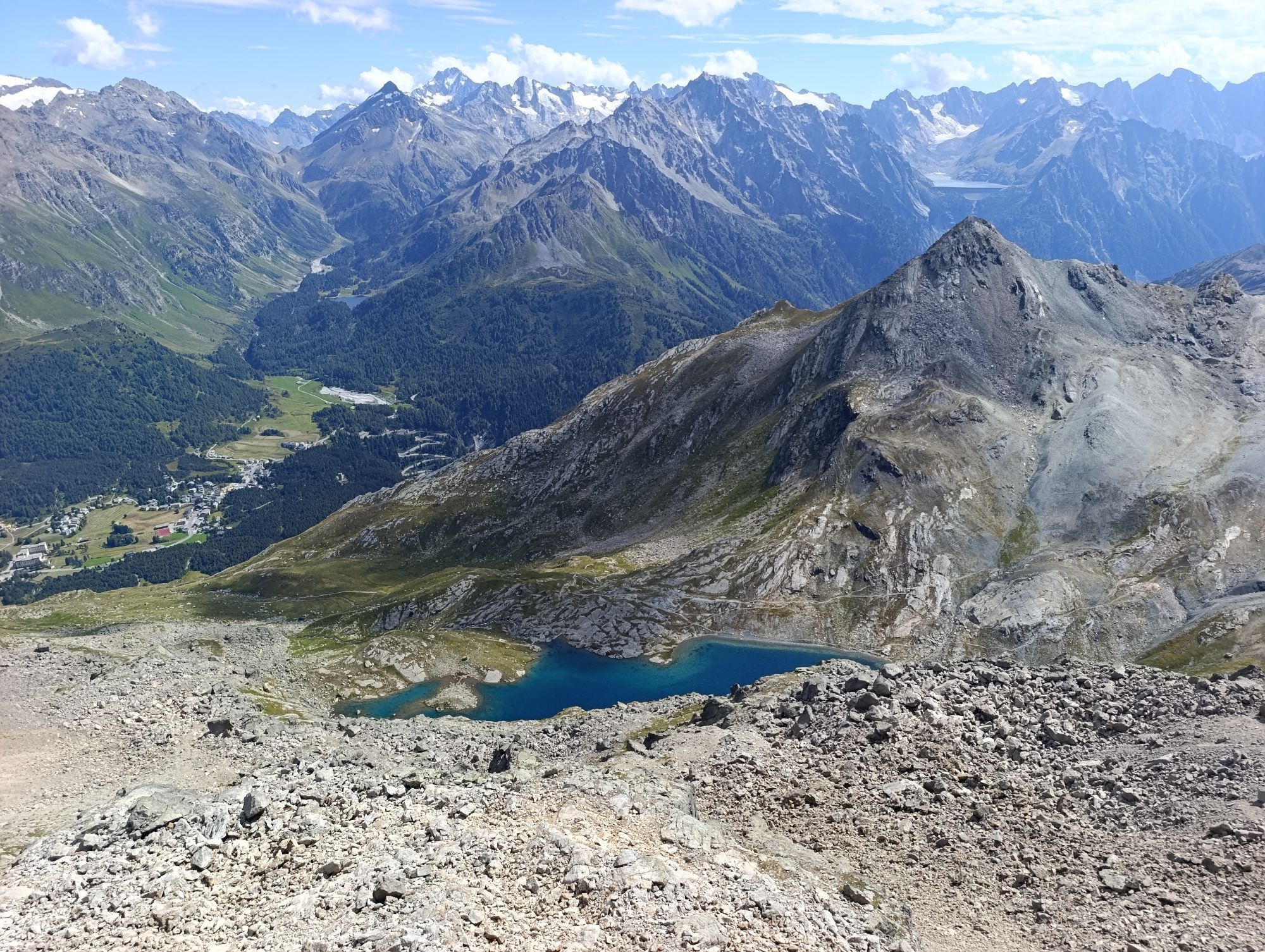
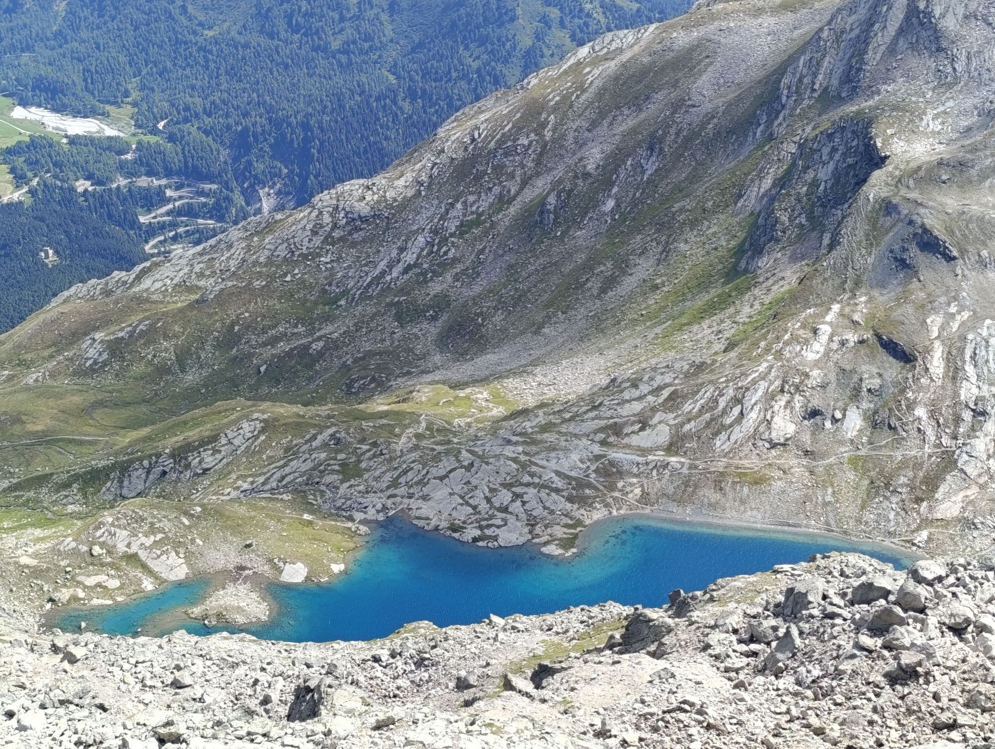
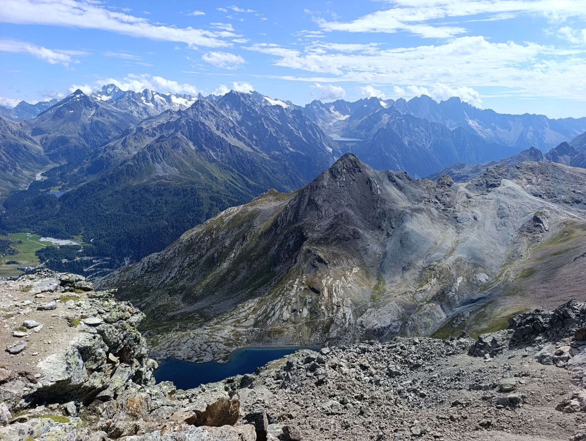
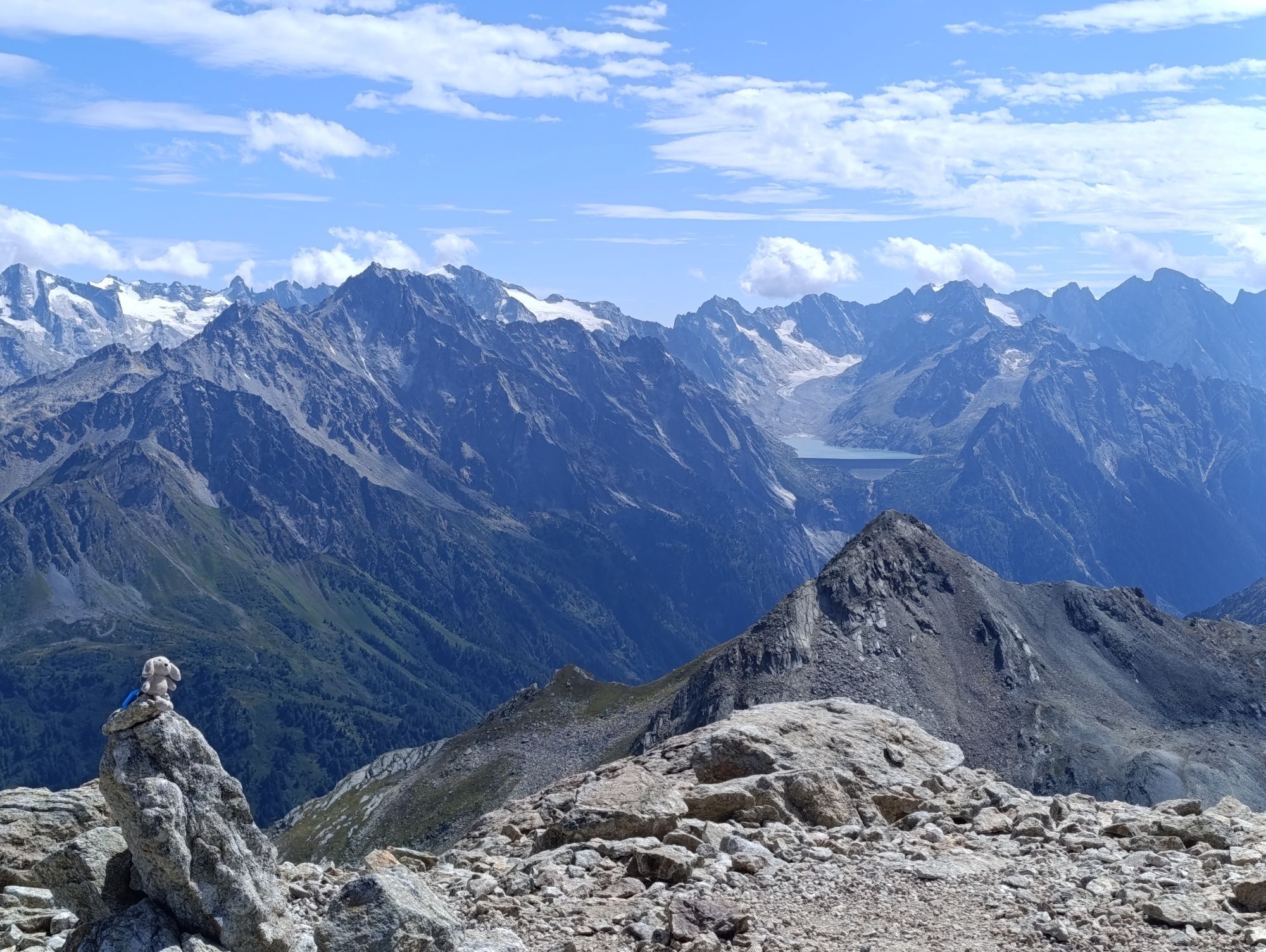
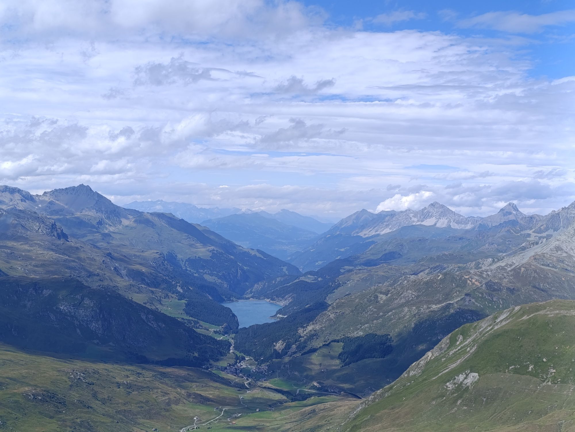
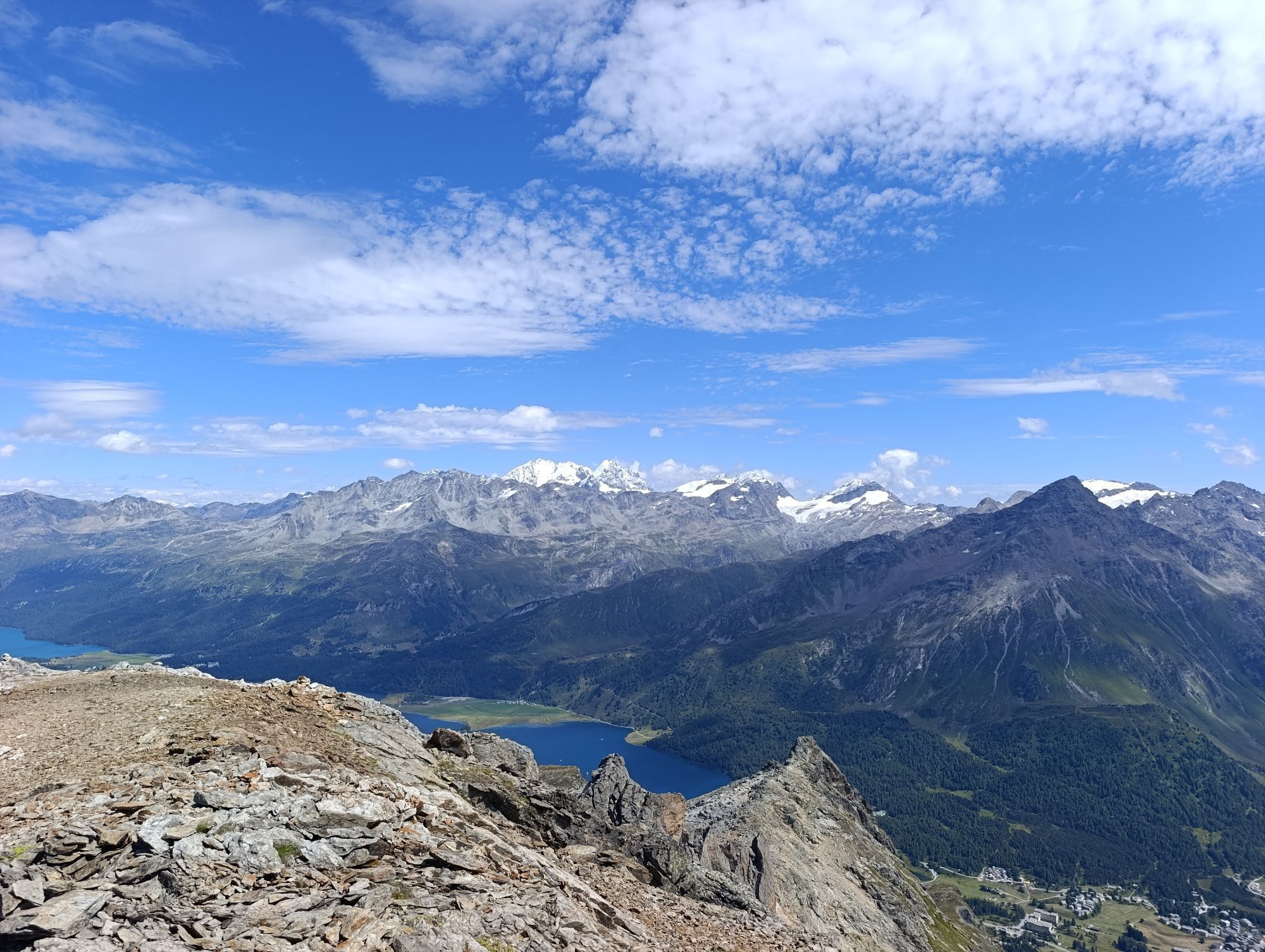

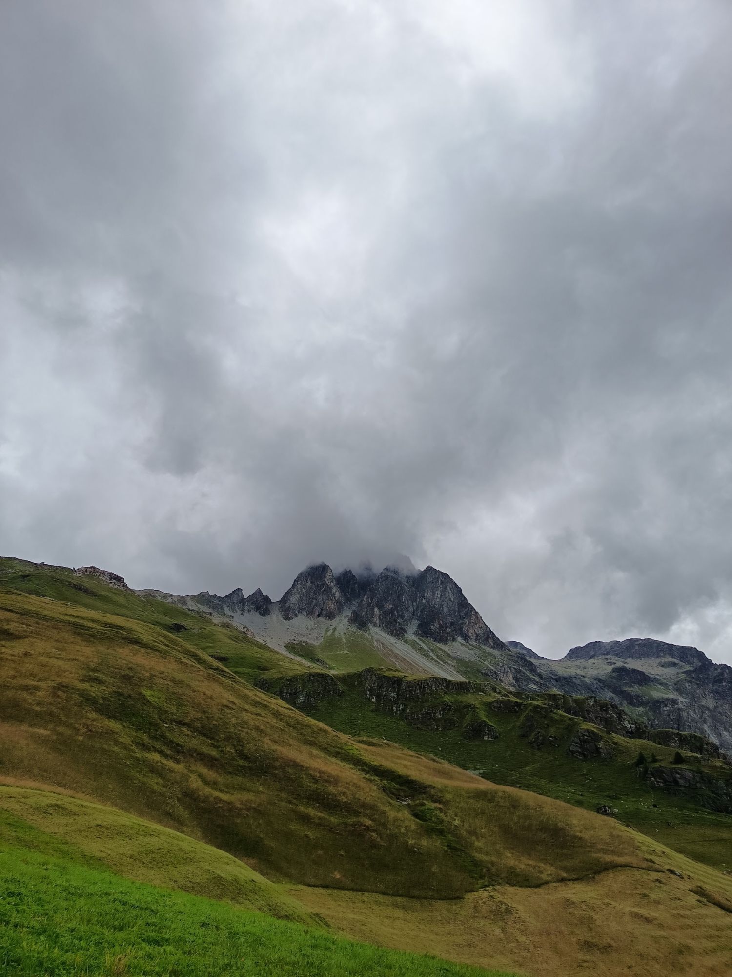
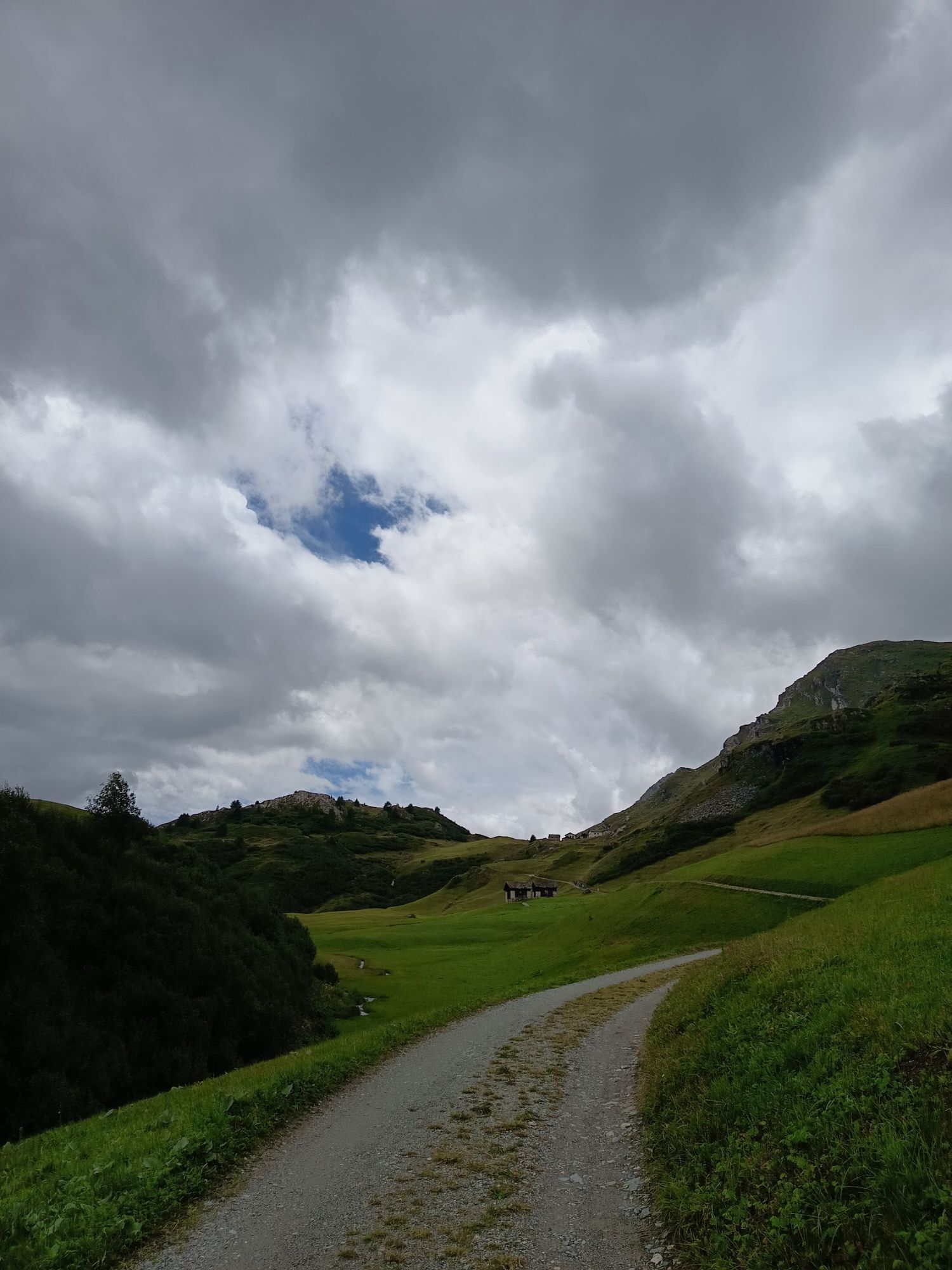
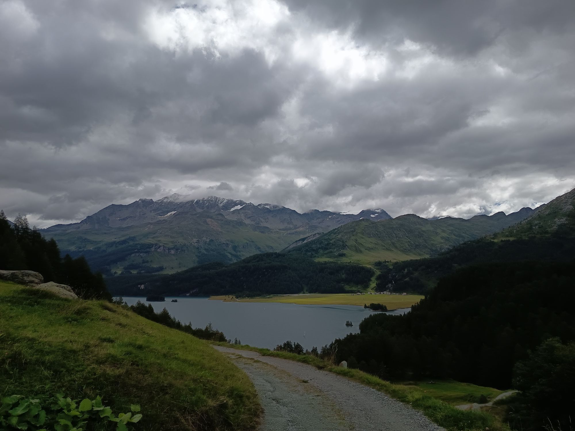

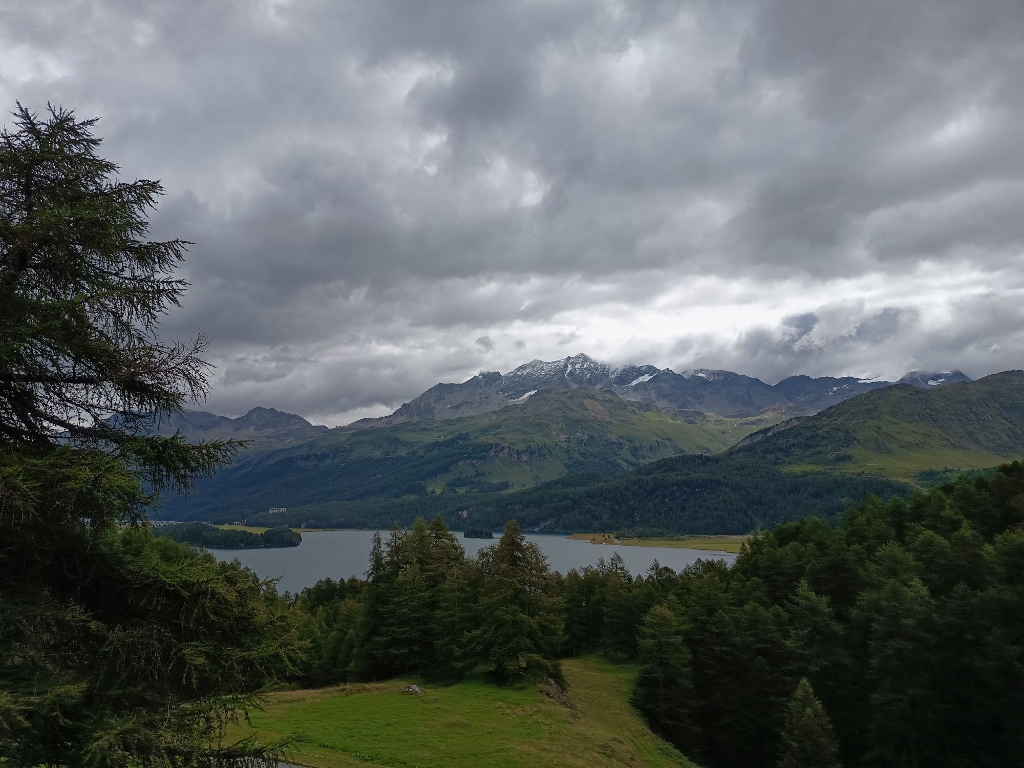
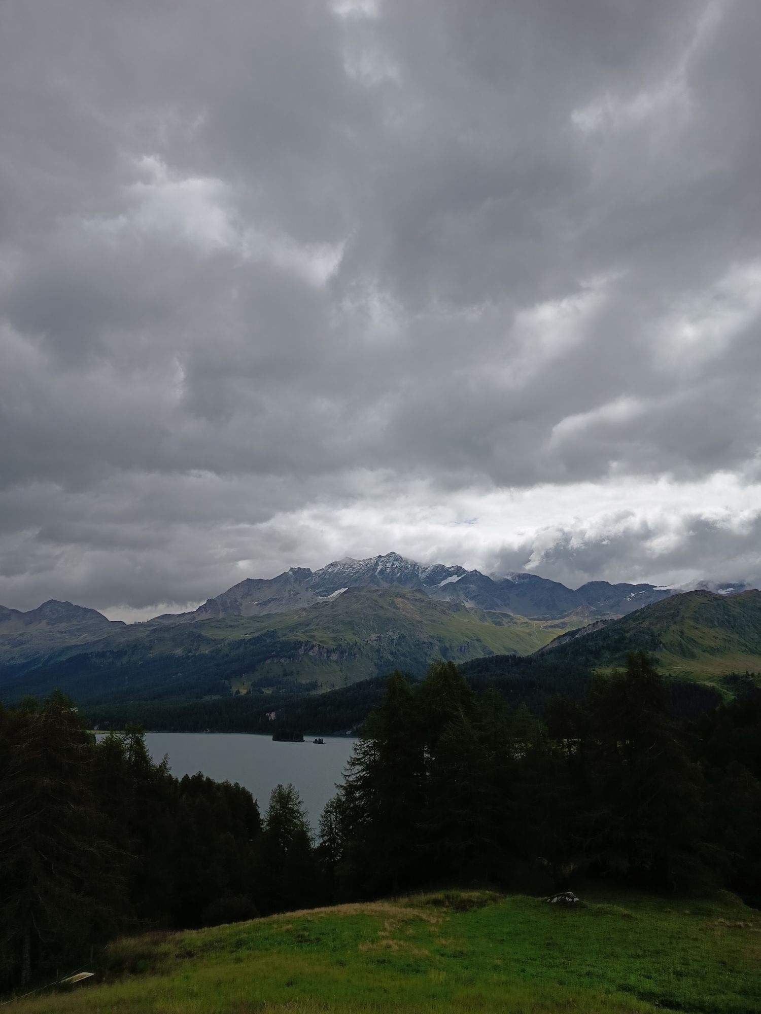
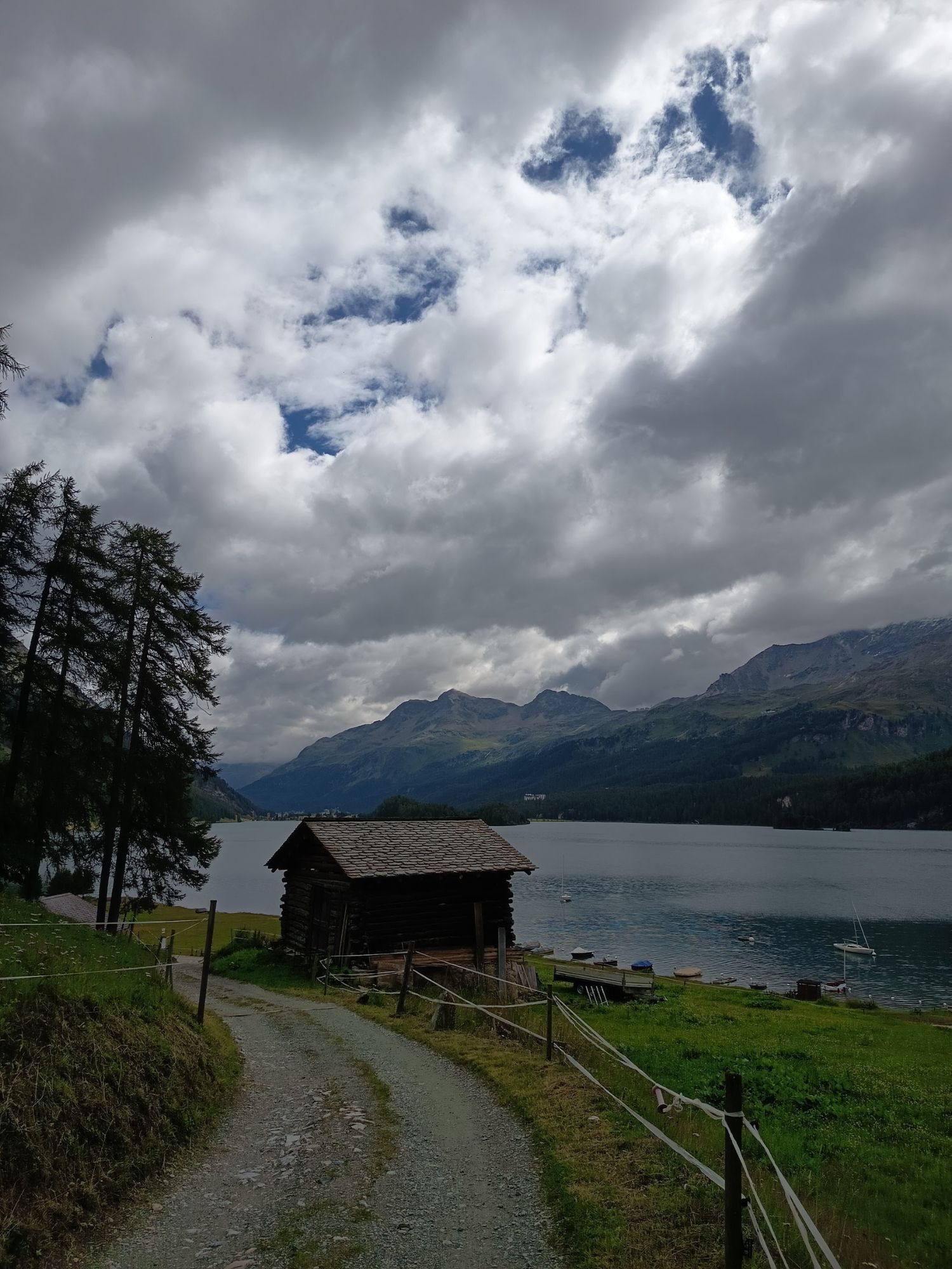
From Plaun da Lej, ascend to the hamlet of Grevasalvas on the little road that is not cleared in winter. Through the hollow north of the hamlet via P. 2112 to Plaun Grand. Then head northwest over the...
Descend along the ascent track.


Da
Complete safety equipment (avalanche transceiver, avalanche shovel, avalanche probe, cell phone) and knowledge of correct handling are essential.
The practice of ski touring in open terrain is at your own risk. Every ski tourer is strongly advised to prepare thoroughly, plan their route and obtain up-to-date information on the snow and avalanche situation. Avalanche report and snow information: www.slf.ch
No liability is accepted for accidents resulting from the use of the published information and route details.
In case of doubt, accompaniment by an experienced mountain guide is strongly recommended: www.govertical-mountainguides.ch
PD
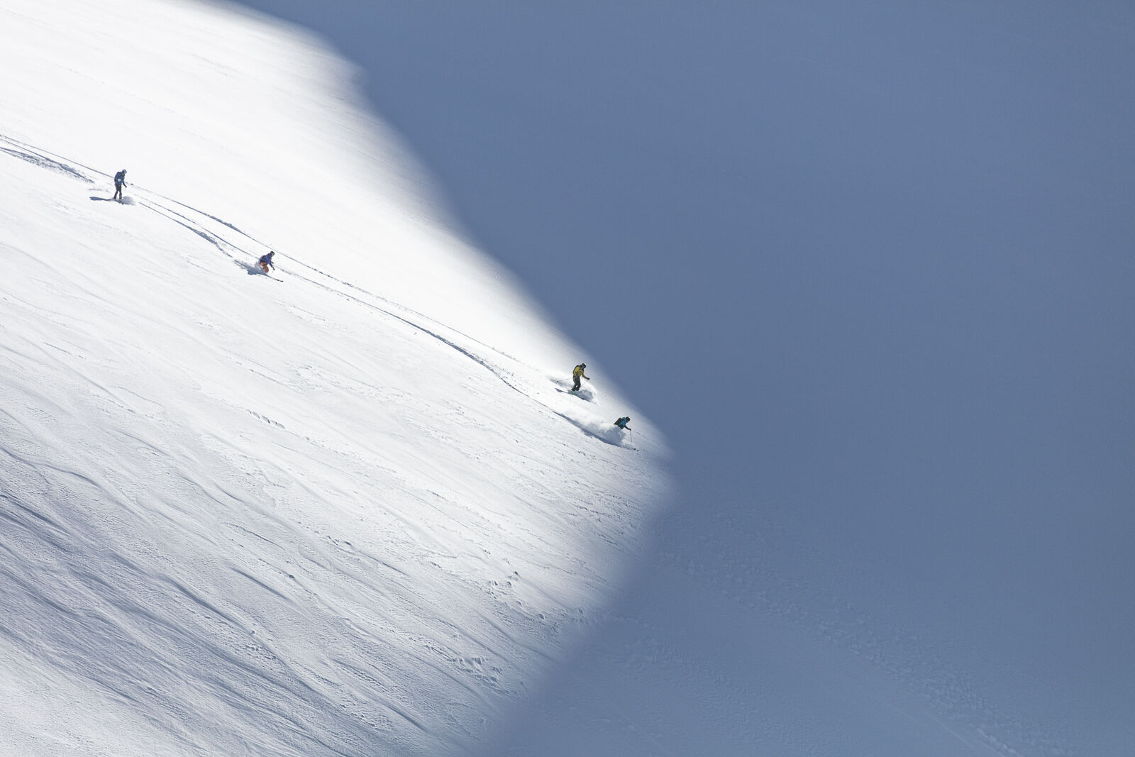
Frequently used ski tour, especially in firn conditions.

Priljubljeni izleti v okolici
-
4.9
Maloja - Motta Salacina - Lägh da Cavloc - Maloja
srednjaPohodništvo 10.3 km -
4.5
Pontresina - Val Roseg - Pontresina
svetlobaPohodništvo 13.8 km -
4.8
SAC Tschierva
svetlobaPohodništvo 24.7 km -
4.8
Around Lake St. Moritz
svetlobaPohodništvo 4.32 km -
4.3
721 Senda Ils Lejins Sils/Furtschellas
srednjaPohodništvo 6.02 km -
4.0
Mittelstation Murtèl – Fuorcla Surlej – Val Roseg – Pontresina
srednjaPohodništvo 23.5 km -
4.8
Val Roseg - Tschierva Hut
srednjaPohodništvo 5.12 km -
4.5
Sils - Lej da la Tscheppa - Sils
srednjaPohodništvo 11.4 km -
4.3
Val Roseg
srednjaZimsko pohodništvo 6.96 km -
5.0
Maloja-Piz Lunghin-Pass Lunghin-See Lunghin- Blaunca- Maloja
srednjaPohodništvo 15.5 km
Pohodništvo in sledenje


Ne zamudite ponudb in navdiha za naslednje počitnice
Vaš e-poštni naslov je bil dodan na poštni seznam.





