







Piz Mezdi
Stopnja težavnosti: AD-
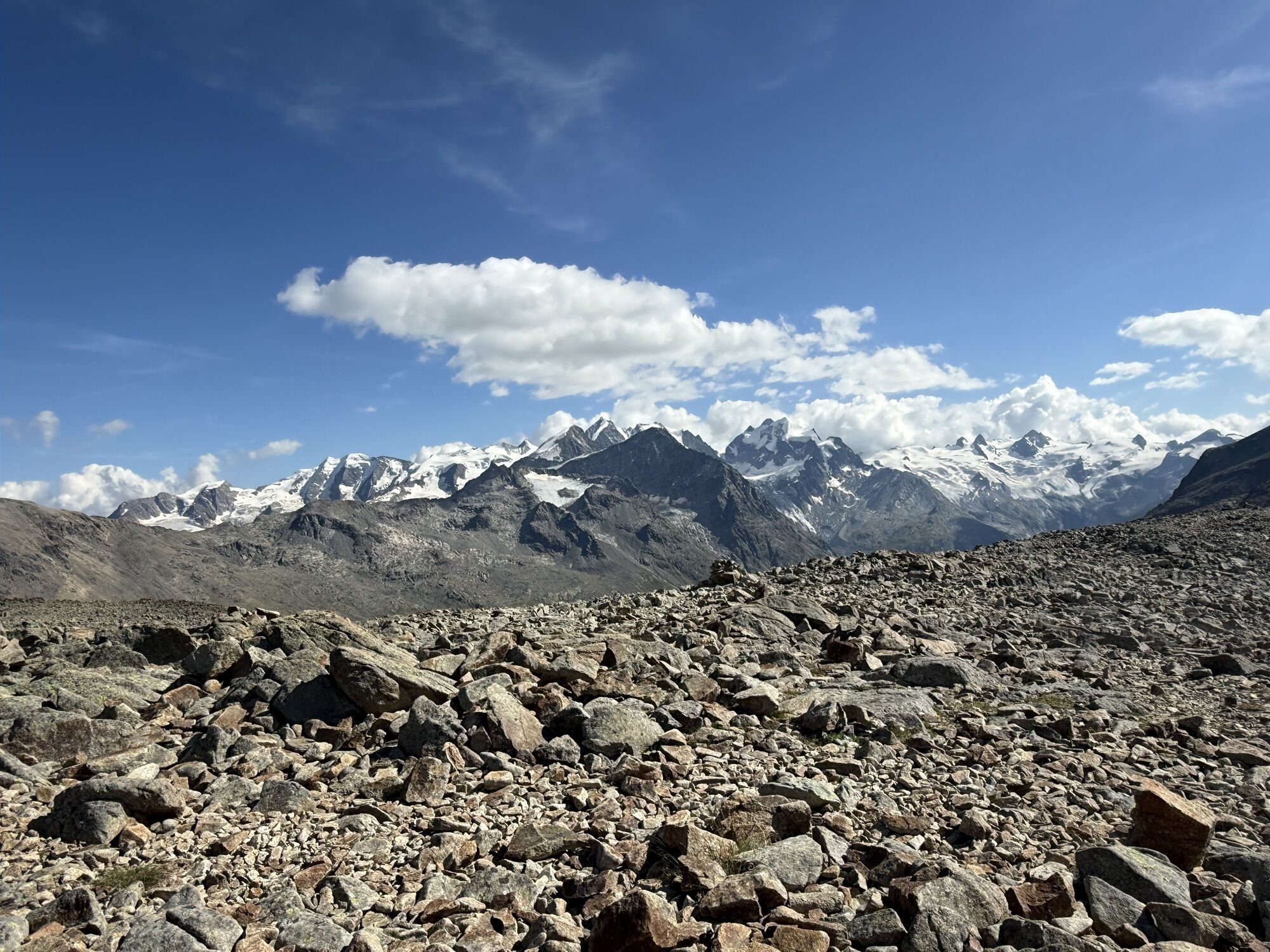
From St. Moritz Bad on the forest path to P. 1850. Then through the Laviner Grand and over several steep steps (up to 35° depending on the route chosen) into the hollow to the east of P. 2630. In the area...
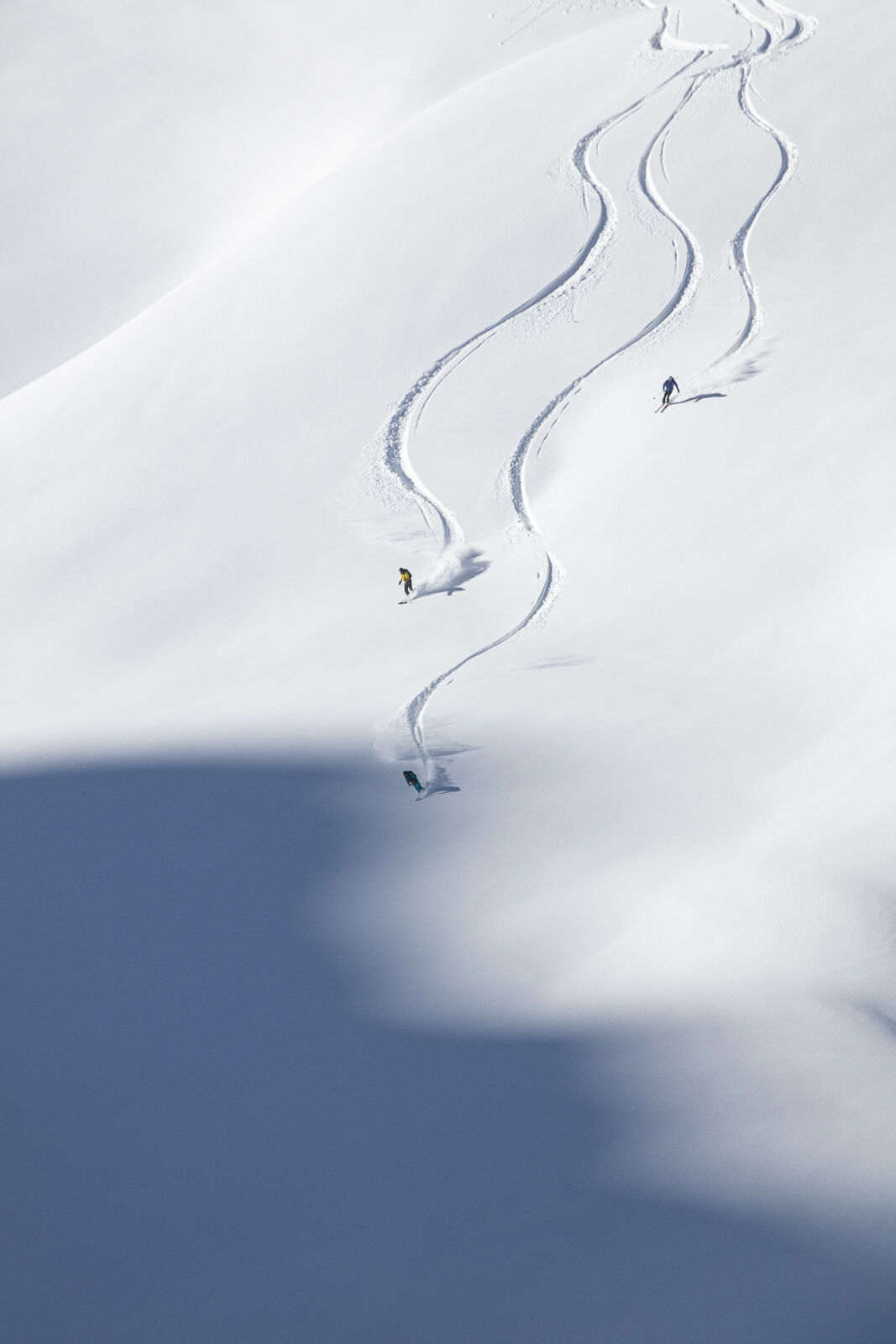
The long descent follows the ascent route, paying attention to the wildlife rest area in the forest!


Da
Complete safety equipment (avalanche transceiver, avalanche shovel, avalanche probe, cell phone) and knowledge of correct handling are essential.
The practice of ski touring in open terrain is at your own risk. Every ski tourer is strongly advised to prepare thoroughly, plan their route and obtain up-to-date information on the snow and avalanche situation. Avalanche report and snow information: www.slf.ch
No liability is accepted for accidents resulting from the use of the published information and route details.
In case of doubt, accompaniment by an experienced mountain guide is strongly recommended: www.govertical-mountainguides.ch
AD-
Only in safe conditions. Above the tree line, the terrain is steep and requires a good choice of route. Respect the wildlife rest area!
Spletne kamere s turneje
-
Corviglia
-
Corvatsch
-
Marguns - Plateau Nair
-
Corviglia
-
Corviglia
-
Corviglia
-
Corviglia
-
Corviglia
-
Corviglia
-
Corviglia
-
Corvatsch
-
Corvatsch
-
Corvatsch
-
Corvatsch
-
Corvatsch
-
Corvatsch
-
Celerina - Cresta Palace
-
Samedan - Roseg Gletscher
-
Piz Nair - St. Moritz
-
Celerina - Skiwiese Provuler
-
St. Moritz - Berghotel Randolins
-
El Paradiso
-
Piz Nair Bergstation
-
Piz Nair Bergstation
-
Piz Nair Bergstation
-
Piz Nair Bergstation
-
Piz Nair Bergstation
-
Piz Nair Bergstation
-
Piz Nair Bergstation
-
Piz Nair Bergstation
-
Sporthotel Pontresina
-
Silvana - Alpetta Hütta
-
Alpetta Hütta, Corvatsch
-
Corvatsch - Hossa Bar
-
Silvaplana - Hossa Bar
-
Pontresina - Hotel Walther
-
Pontresina - Langlauf und Bikezentrum
-
Pontresina - Hotel Saratz
Pridobite vpogled
Vedno v živo na mestu z več kot 9.500 spletnimi kamerami. bergfex Kot uporabnik Pro si lahko zdaj ogledate ustrezne spletne kamere za številne izlete v aplikaciji izleti iz. Tako si lahko neposredno ogledate trenutne razmere.
Priljubljeni izleti v okolici
-
4.6
Diavolezza - Munt Pers
svetlobaGorski pohodništvo 3.82 km -
5.0
Morteratsch station - Boval Hut
srednjaPohodništvo 10.5 km -
4.7
Panoramic route Muottas Muragl
svetlobaPohodništvo 6.75 km -
5.0
Muottas Muragl - Segantini hut - Pontresina
srednjaPohodništvo 6.46 km -
4.5
Pontresina - Val Roseg - Pontresina
svetlobaPohodništvo 13.8 km -
4.8
SAC Tschierva
svetlobaPohodništvo 24.7 km -
4.8
Around Lake St. Moritz
svetlobaPohodništvo 4.32 km -
4.7
Morteratsch Glacier route
svetlobaTematska pot 2.88 km -
4.4
Piz Palü (3.905m) – Hochtour
srednjaVisokogorska tura 13.4 km -
4.8
Alp Languard - Segantini Hut - Muottas Muragl
srednjaTrailrunning 6.45 km
Pohodništvo in sledenje


Ne zamudite ponudb in navdiha za naslednje počitnice
Vaš e-poštni naslov je bil dodan na poštni seznam.





