







Charnadüras – Lavin
Stopnja težavnosti: 2
From the train station, the path leads towards the church to the eastern village exit. At the underpass, the railway line and the Engadine road are passed under. Here begins the ascent over 300 meters...
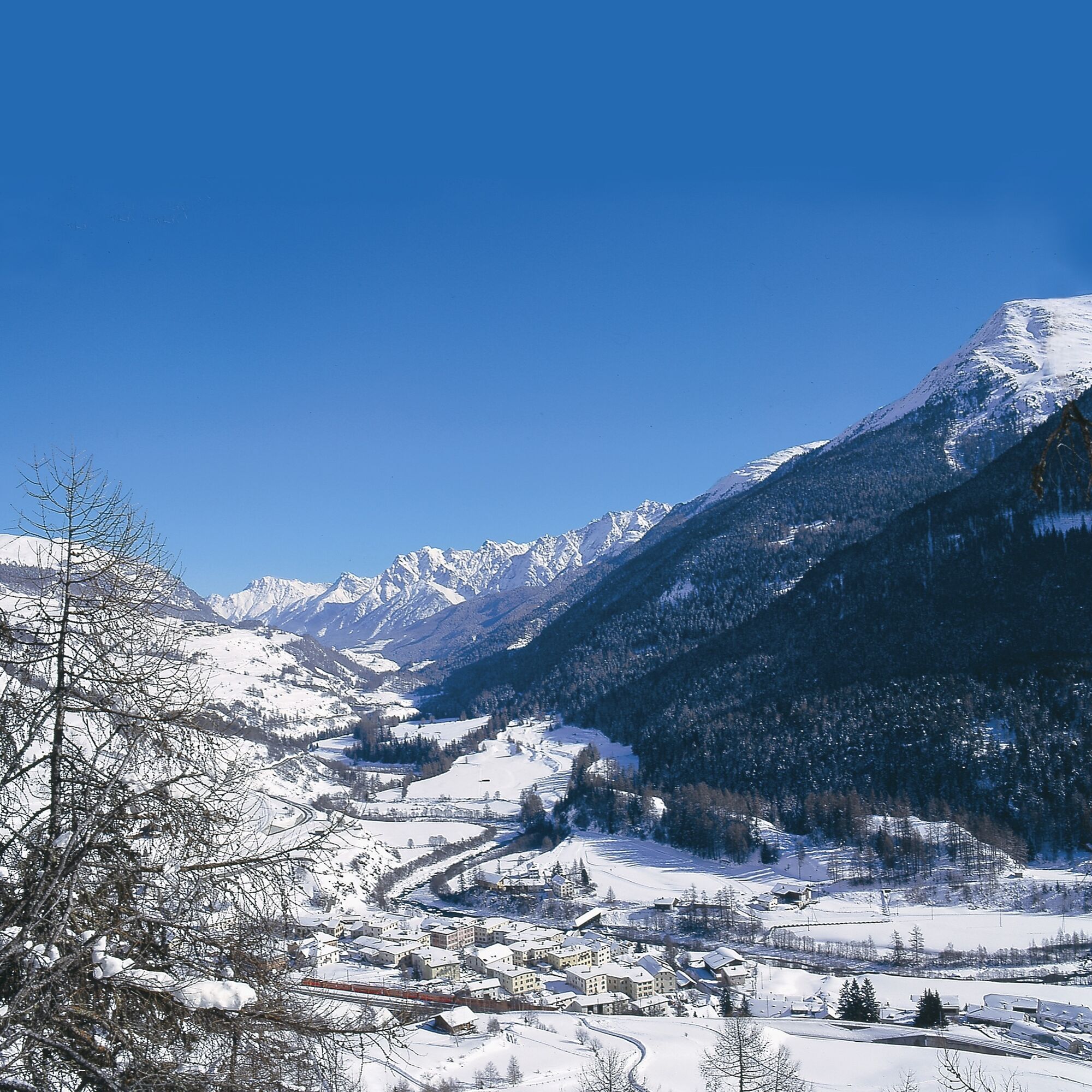
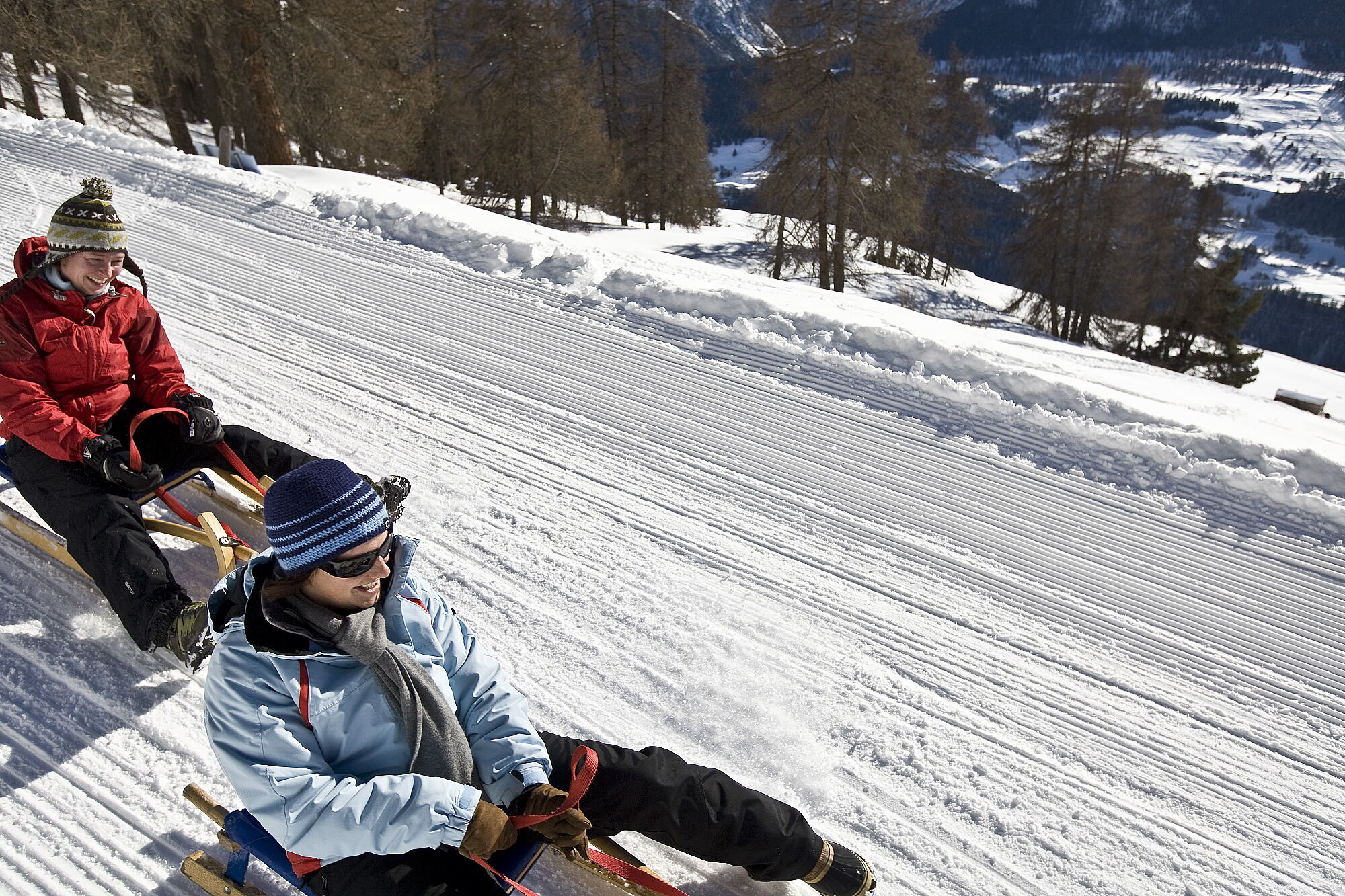
From the train station, the path leads towards the church to the eastern village exit. At the underpass, the railway line and the Engadine road are passed under. Here begins the ascent over 300 meters in altitude to Charnadüras. At the first junction after the last farm in Lavin, follow the signs to the right towards Charnadüras. Always follow the path through several switchbacks in the forest. At the clearing at point 1609, the view opens towards Lavin and the Lower Engadin down towards Guarda and Ardez. After two more bends, you reach the clearing Charnadüras out of the forest. At the point where the terrain flattens and the prepared winter hiking trail ends, the descent begins on the same path as the ascent. Caution is especially advised at the 180-degree turns, as they are preceded by long descents. A special feature of this toboggan run is that you can practically ride all the way to the village and the way to the restaurants, hotels and the train station is not far.
At the toboggan run, there is also a grill area that can be used all year round. Here you have a great view, and there is a hut available for sitting inside.


From Lavin train station towards the church and the eastern village exit
Underpass of railway tracks and road
Follow the path to the last farm
At the junction, follow the signs to the right towards Charnadüras
Follow the path to Charnadüras
Descent is the same as the ascent
Da
Sled, high and sturdy hiking boots or winter boots, warm clothing, sun protection, gloves, and helmet recommended.
The path is prepared after every snowfall. Please observe the condition reports in the winter sports report. The route was rated under favorable weather conditions; the current snow and weather conditions must be observed before starting.
Note: Tobogganing is often underestimated; wearing a ski helmet is strongly recommended.
Emergency numbers:
144 Emergency call, first aid
1414 Mountain rescue REGA
112 International emergency call
The path is marked as a winter hiking trail and as a toboggan run; please respect other users.
Lavin is located directly on the Engadine road H27 (2 minutes driving time from Vereina south portal)
Paid parking spaces at the station in Lavin
2
The curve at point 1609 is called "bella storta" by the locals, which means "beautiful bend." Indeed, this spot offers a particularly beautiful view.
At the Volg in Lavin, sleds can be rented for CHF 10.-.
Pridobite vpogled
Vedno v živo na mestu z več kot 9.500 spletnimi kamerami. bergfex Kot uporabnik Pro si lahko zdaj ogledate ustrezne spletne kamere za številne izlete v aplikaciji izleti iz. Tako si lahko neposredno ogledate trenutne razmere.
Priljubljeni izleti v okolici
-
4.8
Hiking trail Piz Buin - view
srednjaPohodništvo 14.4 km -
4.9
Jöriseen
srednjaPohodništvo 11.3 km -
4.7
Jamtal lodge
srednjaPohodništvo 19.6 km -
5.0
Großer Piz Buin (3.312m), Normalweg 2019 über Ochsentaler Gletscher
težkoVisokogorska tura 24.1 km -
4.3
National Park: Margunet
svetlobaPohodništvo 7.76 km -
4.8
National park: Zernez – Munt Baselgia – Macun lakes – Alp Zeznina – Lavin
težkoPohodništvo 22.9 km -
3.7
Bielerhöhe - Vermuntkopf - Bielerhöhe
srednjaPohodništvo 17 km -
4.8
Silvretta Stausee
svetlobaPohodništvo 6.22 km -
5.0
Ascent of Hohes Rad and stop at the Wiesbadener Hut
težkoPohodništvo 15.8 km -
4.8
National Park: Grimmels (circular hike)
svetlobaPohodništvo 6 km
Pohodništvo in sledenje


Ne zamudite ponudb in navdiha za naslednje počitnice
Vaš e-poštni naslov je bil dodan na poštni seznam.





