



Cycle path Tschierv – Mals [SchweizMobil no. 27]

Stopnja težavnosti: 2

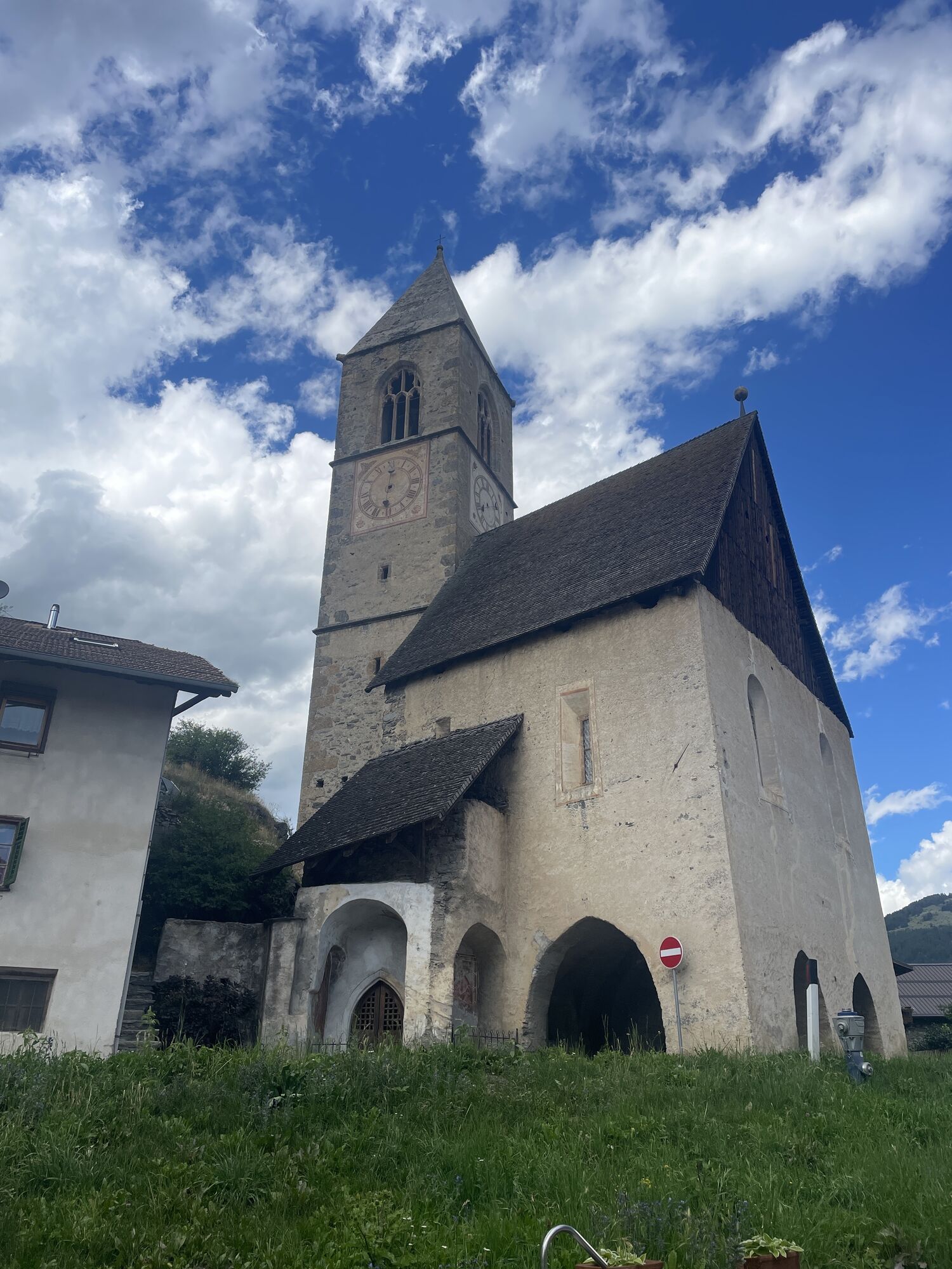
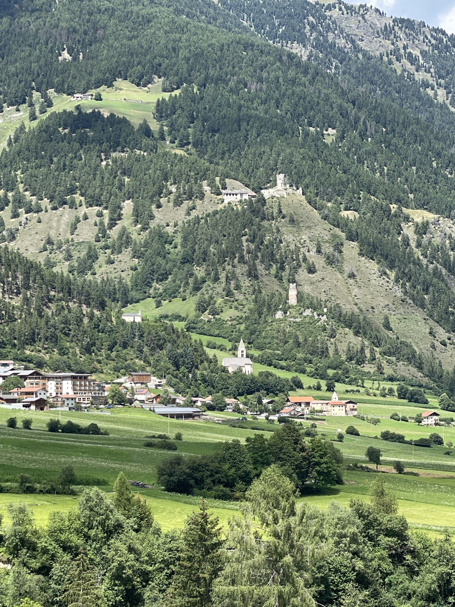

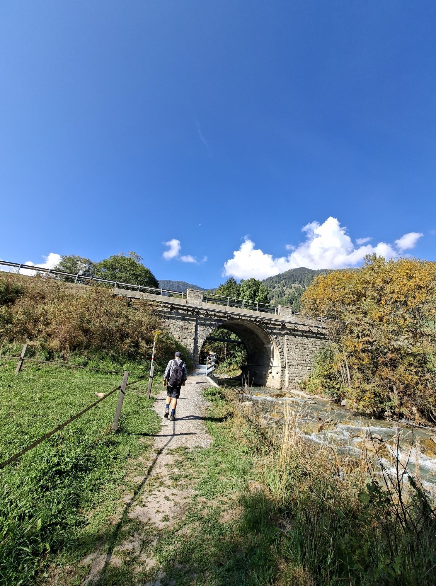

From Tschierv downhill through Val Müstair to Mals. The easy bike route offers numerous opportunities to stop for refreshments in every village along the way. With the UNESCO World Heritage Monastery of...
From Tschierv downhill through Val Müstair to Mals. The easy bike route offers numerous opportunities to stop for refreshments in every village along the way. With the UNESCO World Heritage Monastery of St. John in Müstair, the Manufactura Tessanda, the valley museum Chasa Jaura, or numerous restaurants with local specialties, there are plenty of reasons for a stop already in Val Müstair. From Müstair the route crosses into the neighboring Vinschgau, where along the way to Mals various churches, castles, and orchards can be admired.
All locations are accessible by public transport.

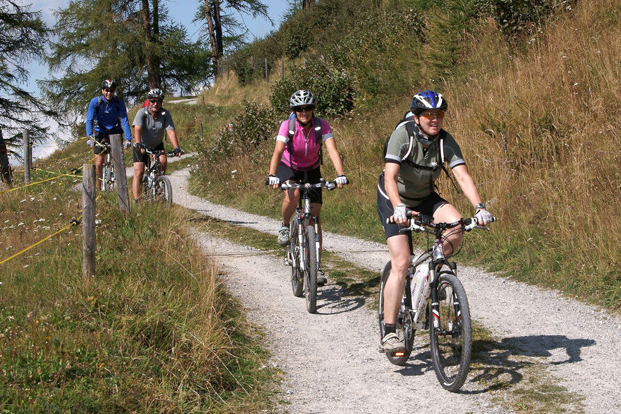
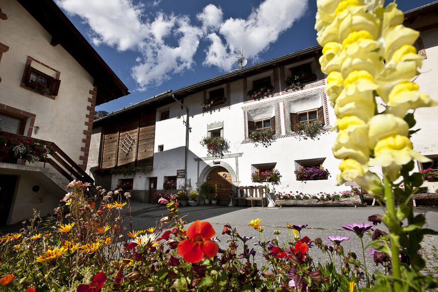


From Tschierv downstream along the river through Val Müstair to Mals.
Da
Helmet, gloves, good footwear, glasses, rain and sun protection, water bottle, repair kit, first aid kit
The route was rated in favorable weather conditions; current weather conditions and forecasts must be checked before starting the route.
This route does not place major demands on riding safety, balance, or technical skills.
Emergency numbers:
144 Emergency, First aid
1414 Mountain rescue REGA
112 International emergency number
Please be considerate when crossing and overtaking hikers.
The Graubünden mountain bike routes largely run on single trails, which are also marked as hiking trails. Hikers generally have right of way.
From the north: via Landquart – Klosters by car transport through the Vereina Tunnel (Selfranga - Sagliains) or via the Flüela Pass to Zernez on H27. From Zernez on H28 into Val Müstair to Tschierv. (35 minutes drive time from Vereina South Portal)
From the east: via Reschen Pass (Nauders) on SS40 to Mals. From Mals on SS41 to the Swiss border at Müstair. From Müstair on H28 to Tschierv.
From the south: via Bolzano and Merano on SS40 to Mals. From Mals on SS41 to the Swiss border at Müstair. From Müstair on H28 to Tschierv.
Hourly Rhätische Bahn service (from Chur, Landquart/Prättigau, or Upper Engadin) to Zernez
Hourly PostAuto service (from Zernez or Mals) to the PostAuto stop Tschierv, Biosfera
Free parking in Tschierv
2
Spletne kamere s turneje

Priljubljeni izleti v okolici
- 5,0
Mountain restaurant Plantaptasch (without Lift)
srednjaPohodništvo 3,42 km - 3,7
Payerhütte 3020m
Pohodništvo 6,98 km - 4,4
Sonnenaufgang auf der Rötelspitze im Nationalpark Stilfserjoch
Pohodništvo 2,02 km - 5,0
Wanderung/Aufstieg zur Payerhütte
svetlobaPohodništvo 15,9 km - 5,0
Ortler über Meraner Weg (vom Tal/Trafoi)
težkoVisokogorska tura 11,9 km - 3,6
Easy hiking rout to the top of the Watles Moutain (2.550 m)
srednjaPohodništvo 2,35 km - 4,5
Rundwanderweg Wattles und Sesvenna
svetlobaPohodništvo 16,4 km - 4,8
Bergwanderung Schlinig -Seswenahütte
srednjaPohodništvo 13,6 km - 5,0
Edelweißsteig- Leitenwool- Muntaschinig- Gongelegg - Schluderns
svetlobaPohodništvo 14,0 km - 3,5
Watervallen wandeling
svetlobaPohodništvo 4,95 km
Pohodništvo in sledenje


Ne zamudite ponudb in navdiha za naslednje počitnice
Vaš e-poštni naslov je bil dodan na poštni seznam.


