



Celerina - Trais Fluors - Champfèr - Celerina (e-mountain bike)

Stopnja težavnosti: 5
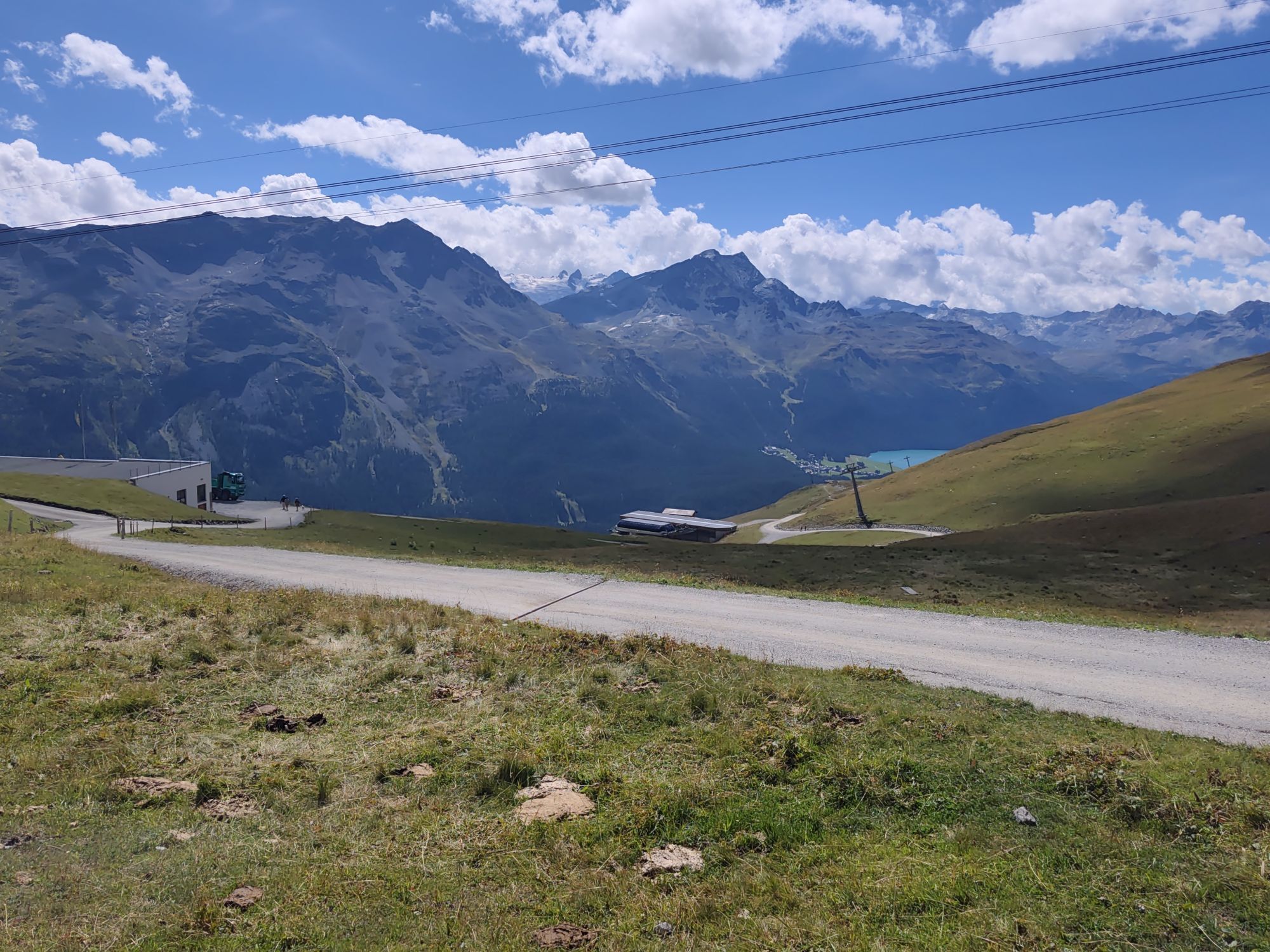
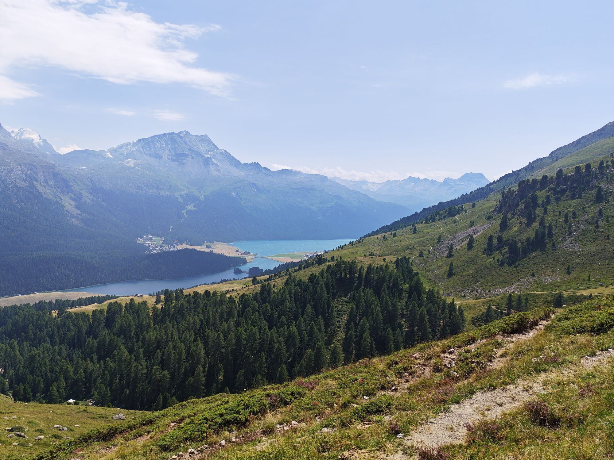
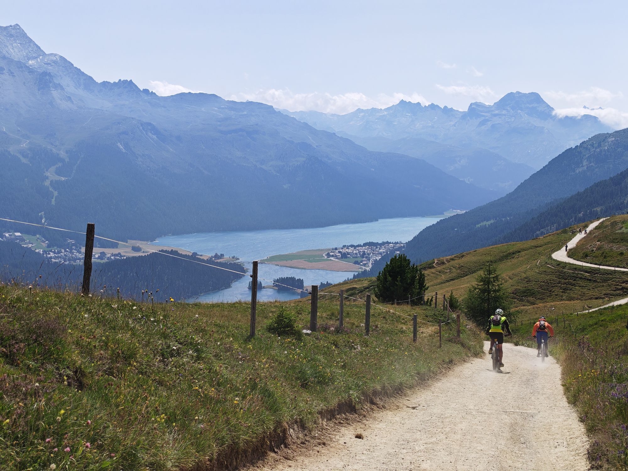
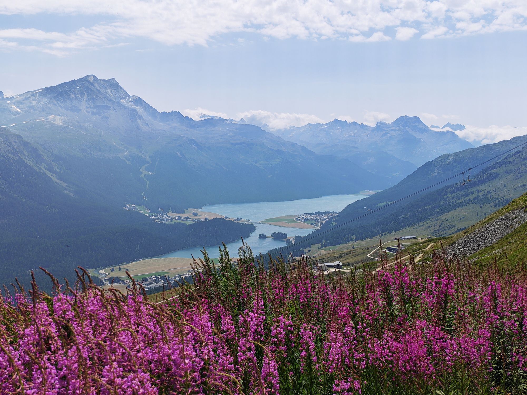
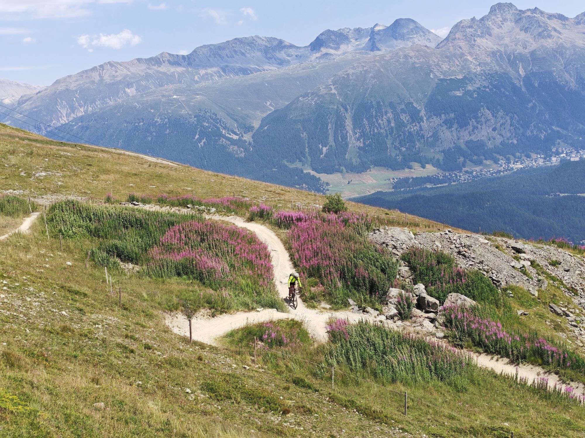
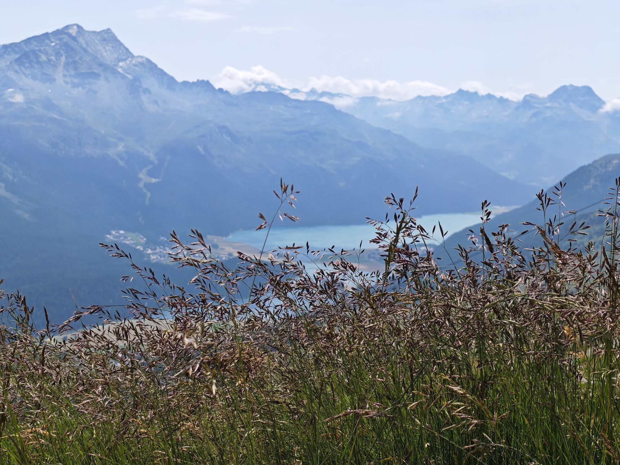
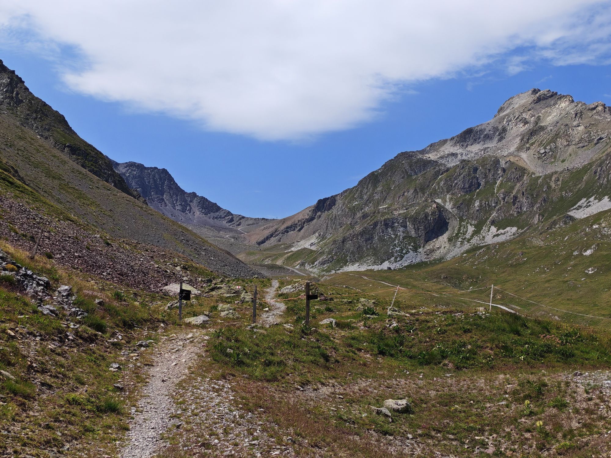
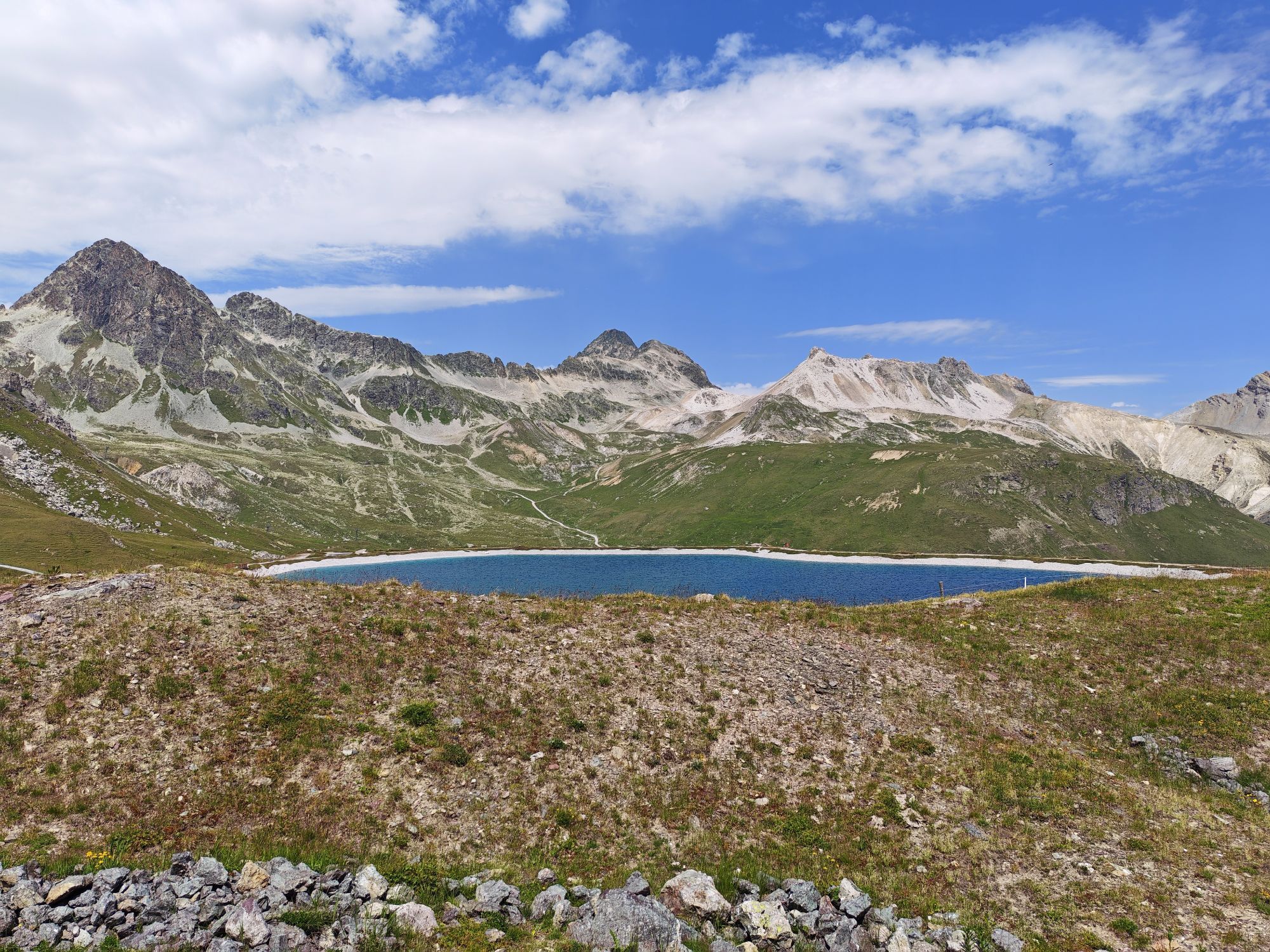
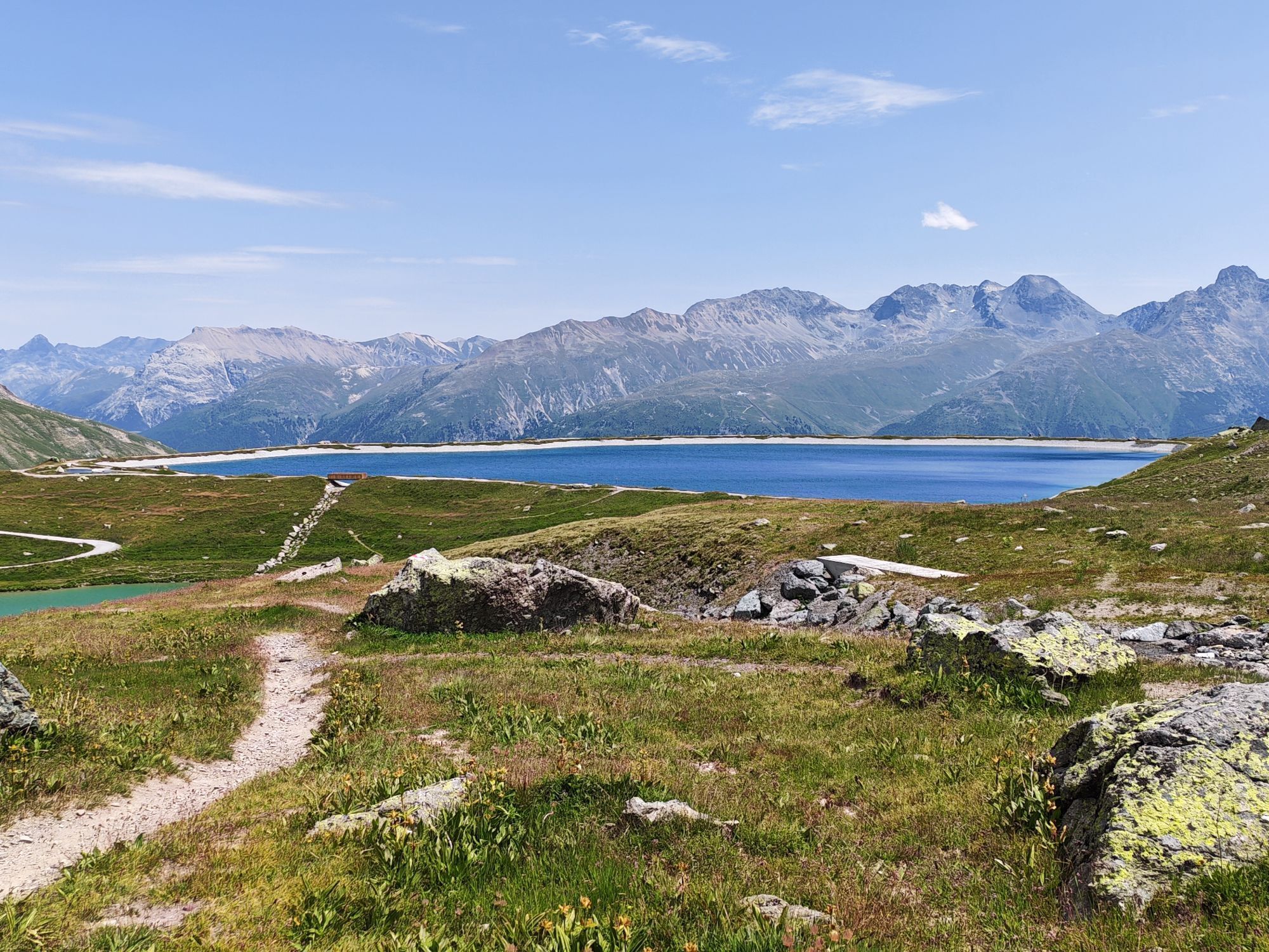
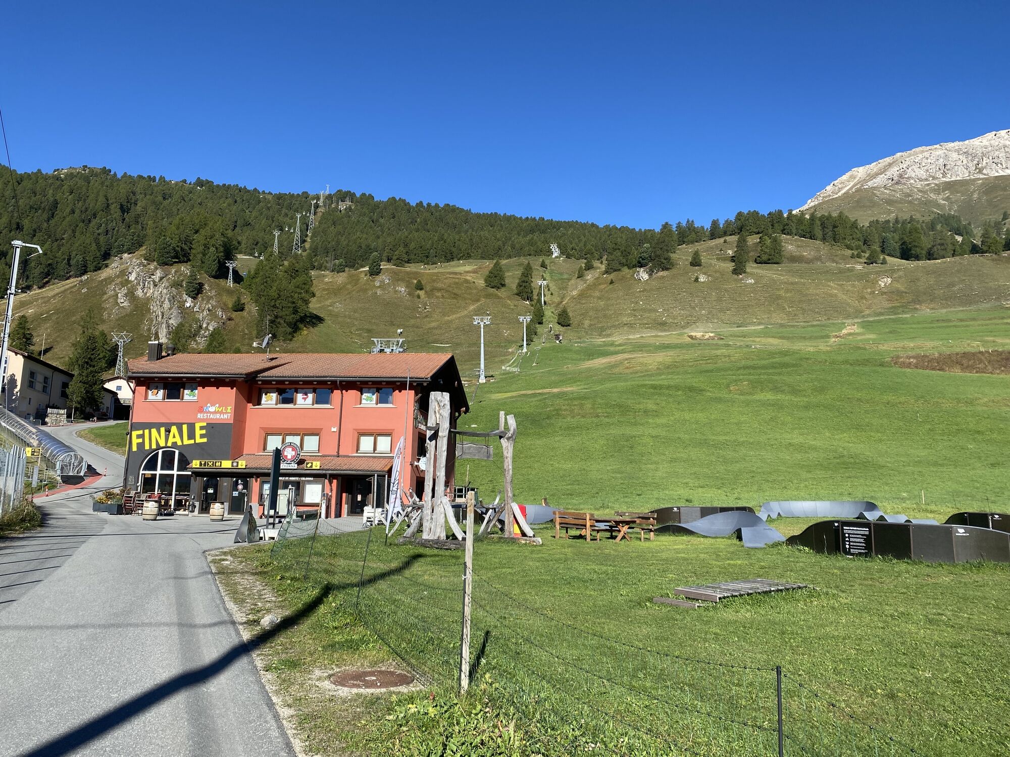
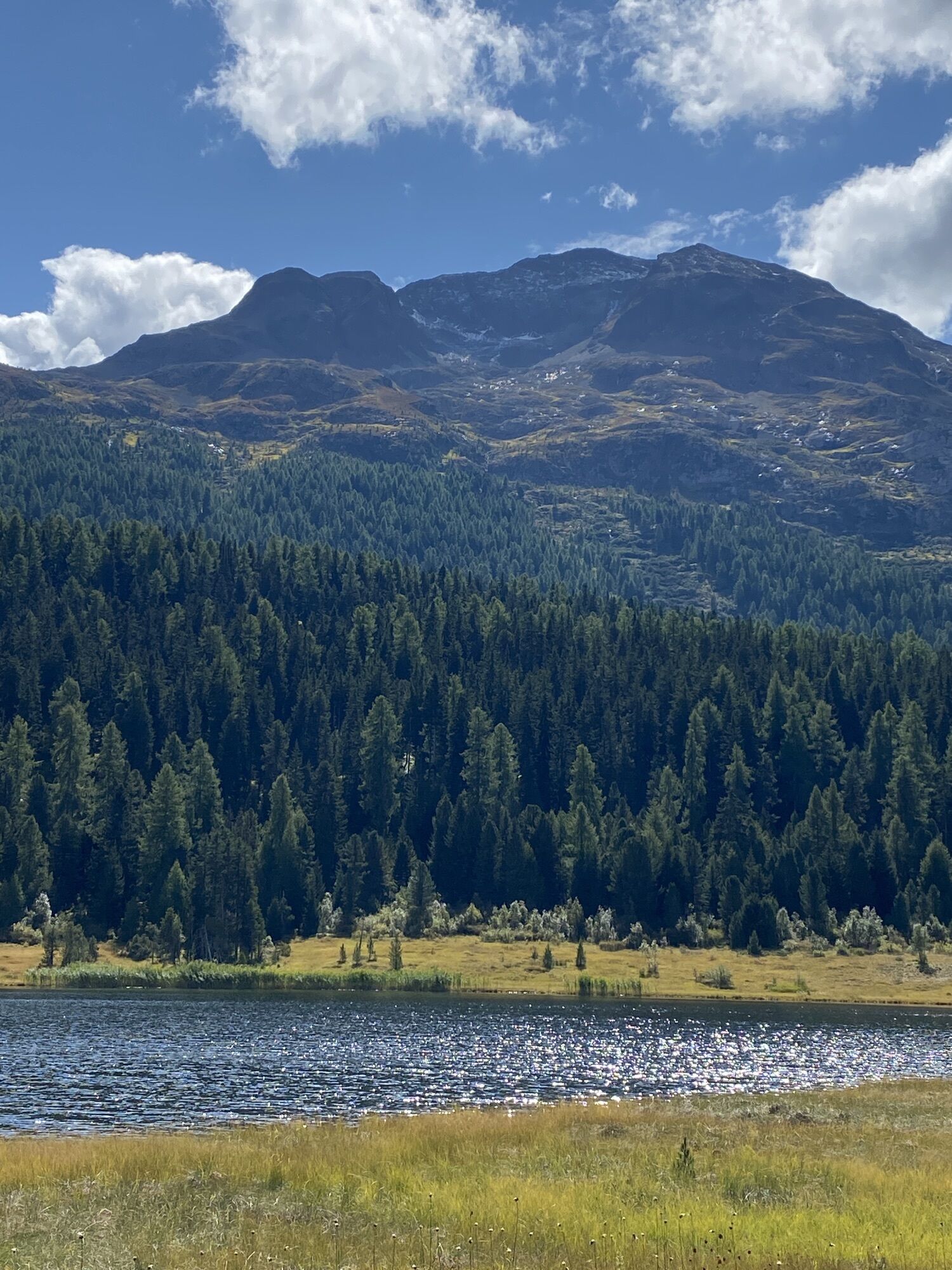

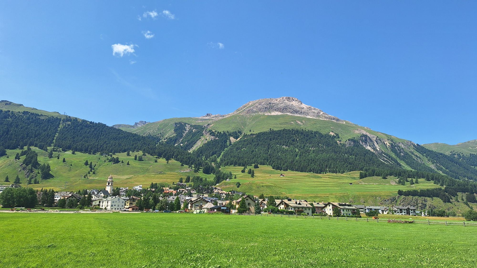
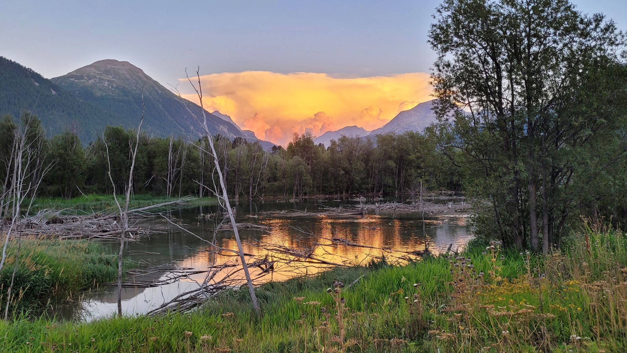
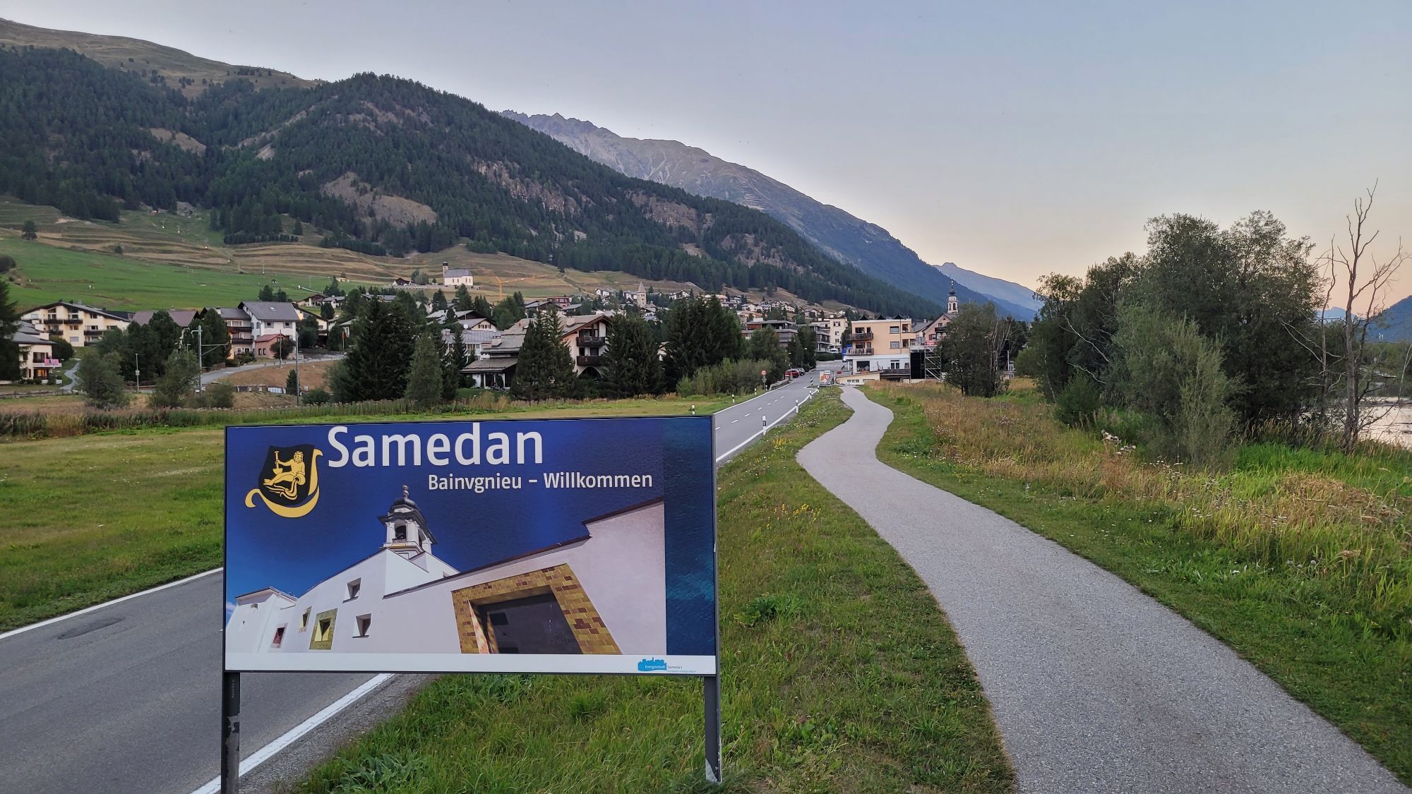
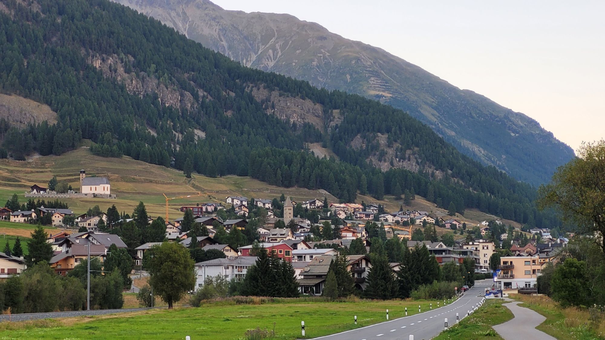
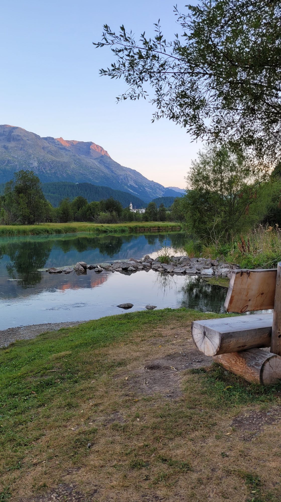
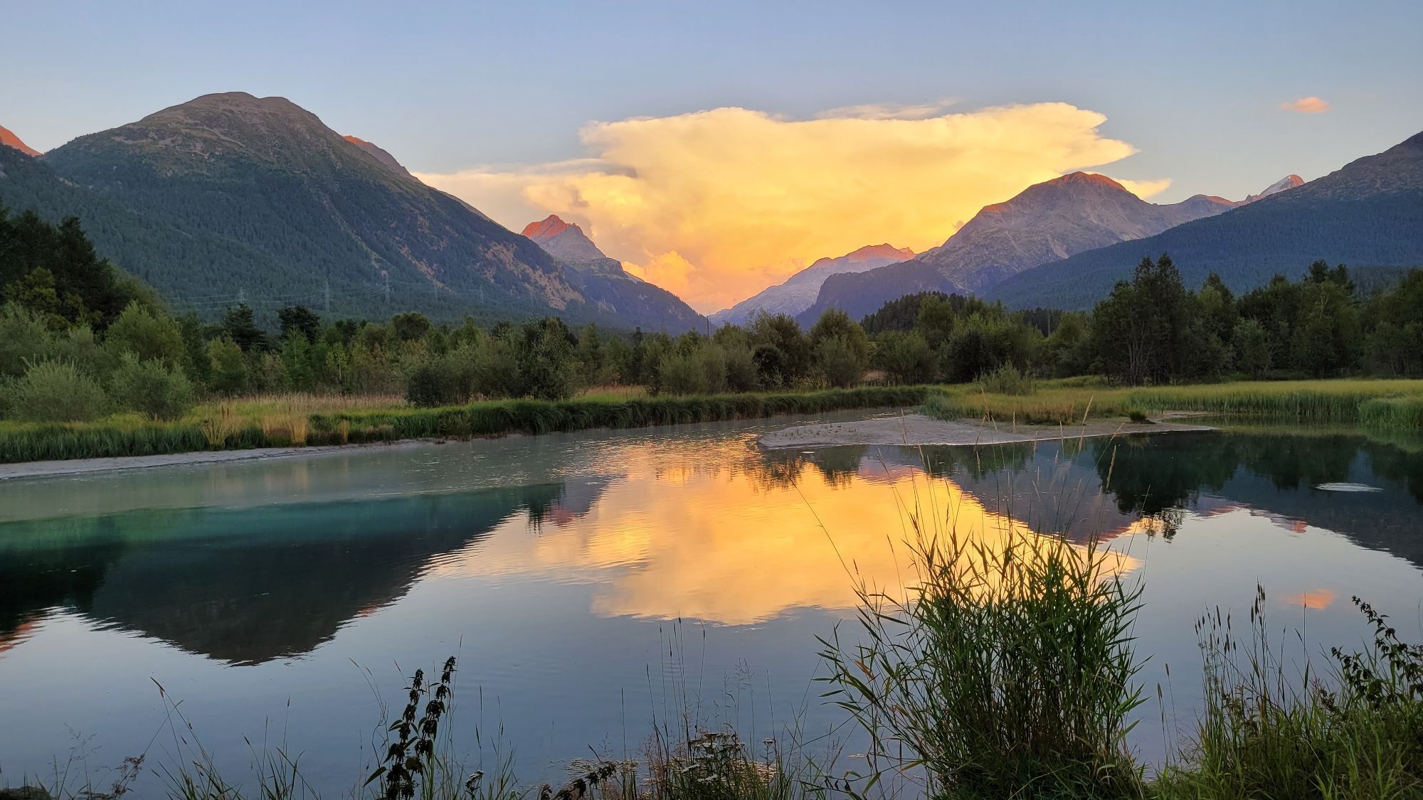
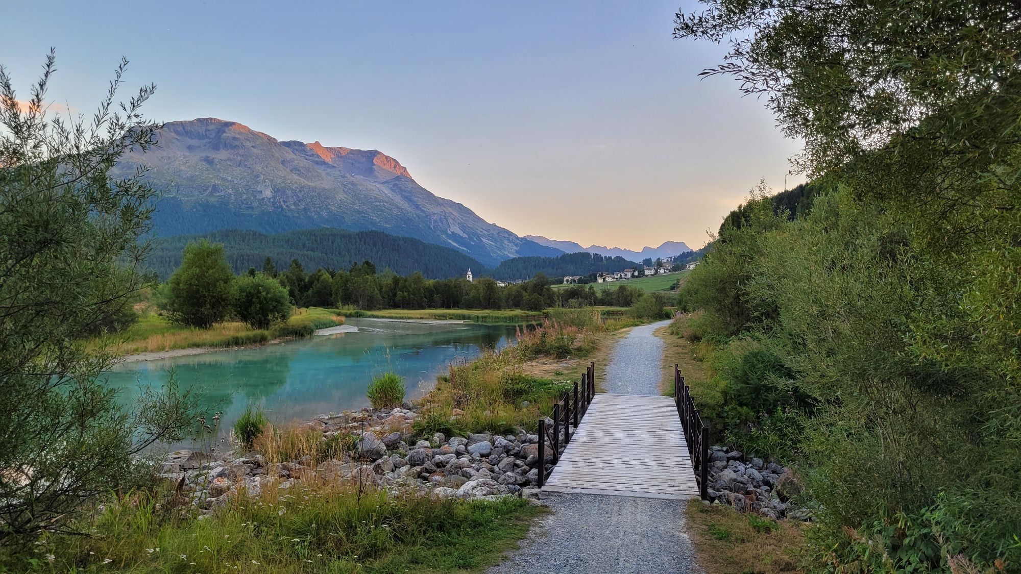
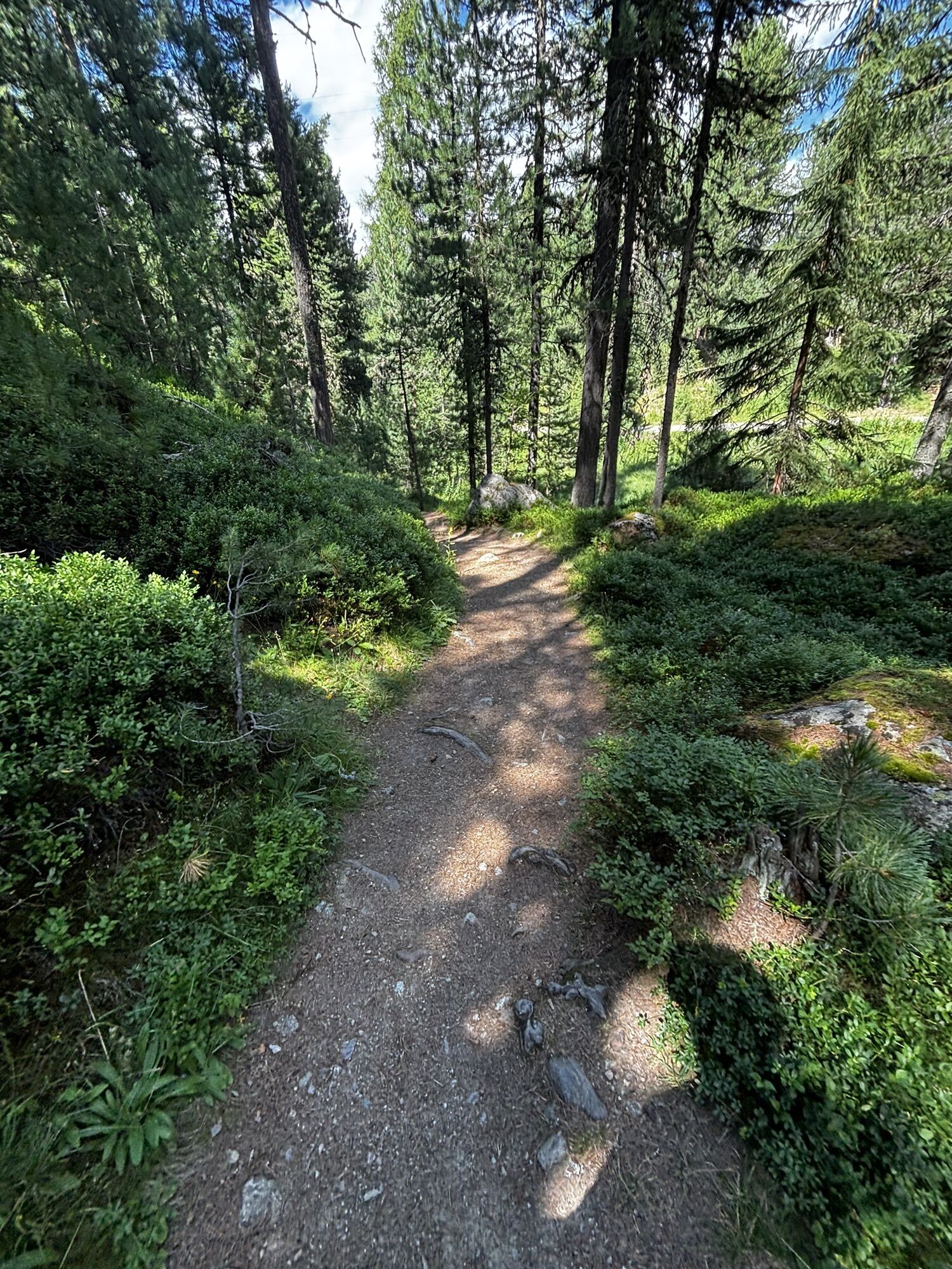
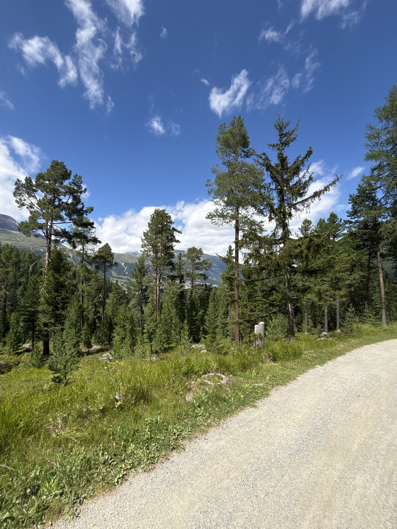
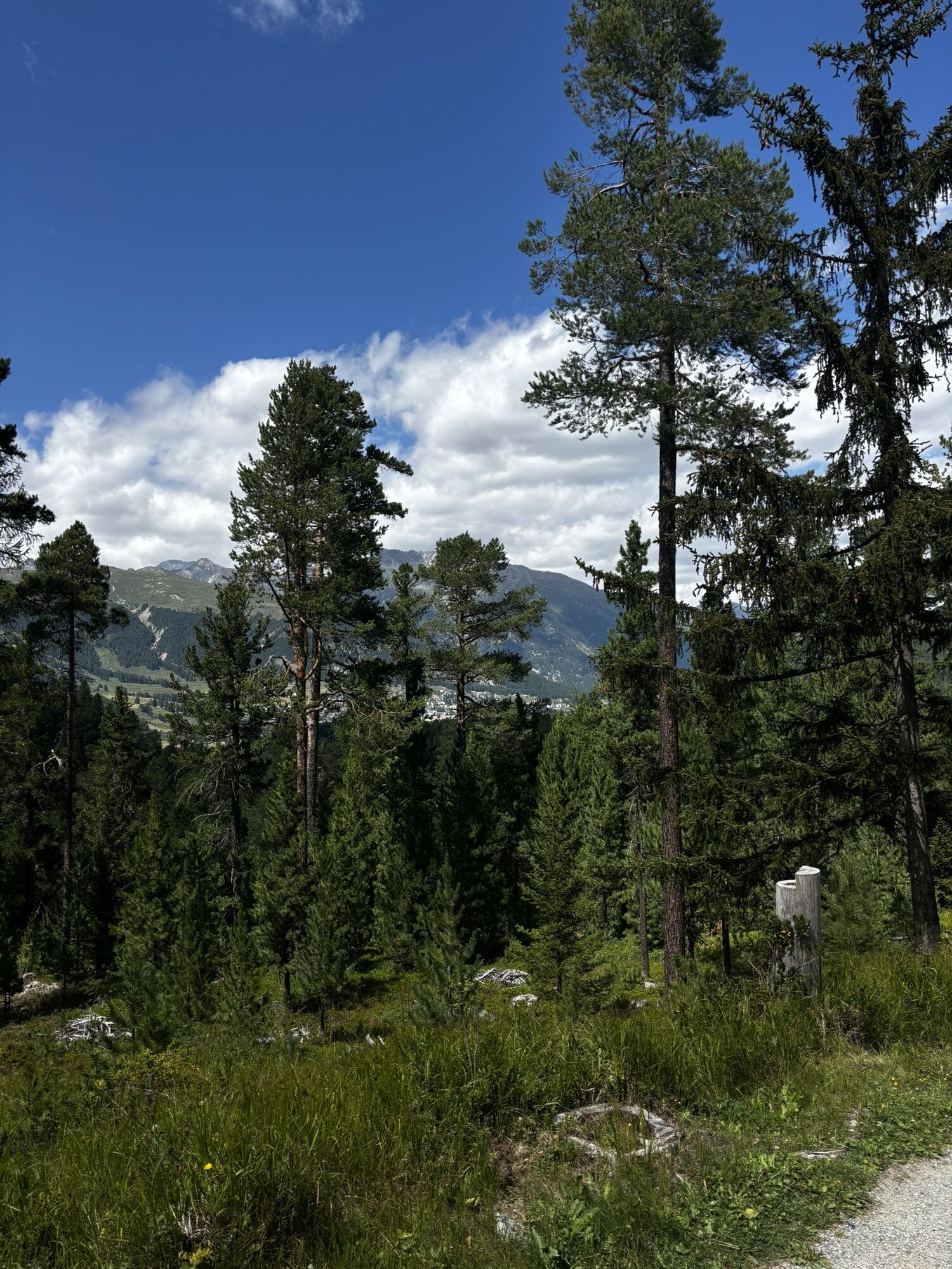
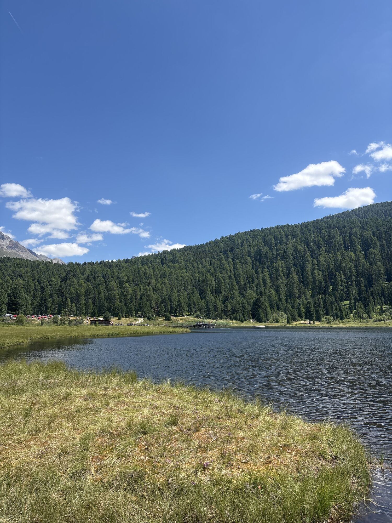
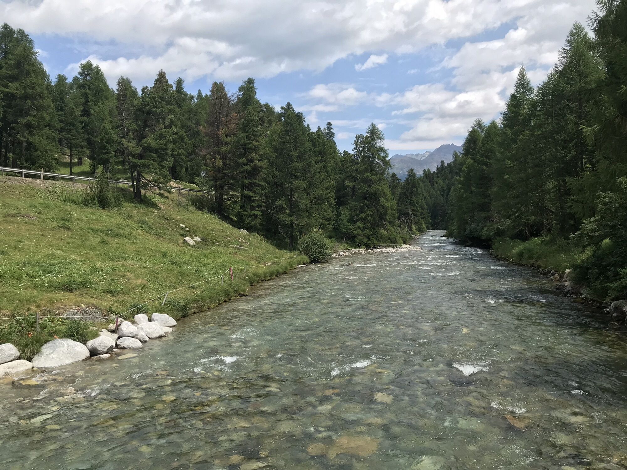



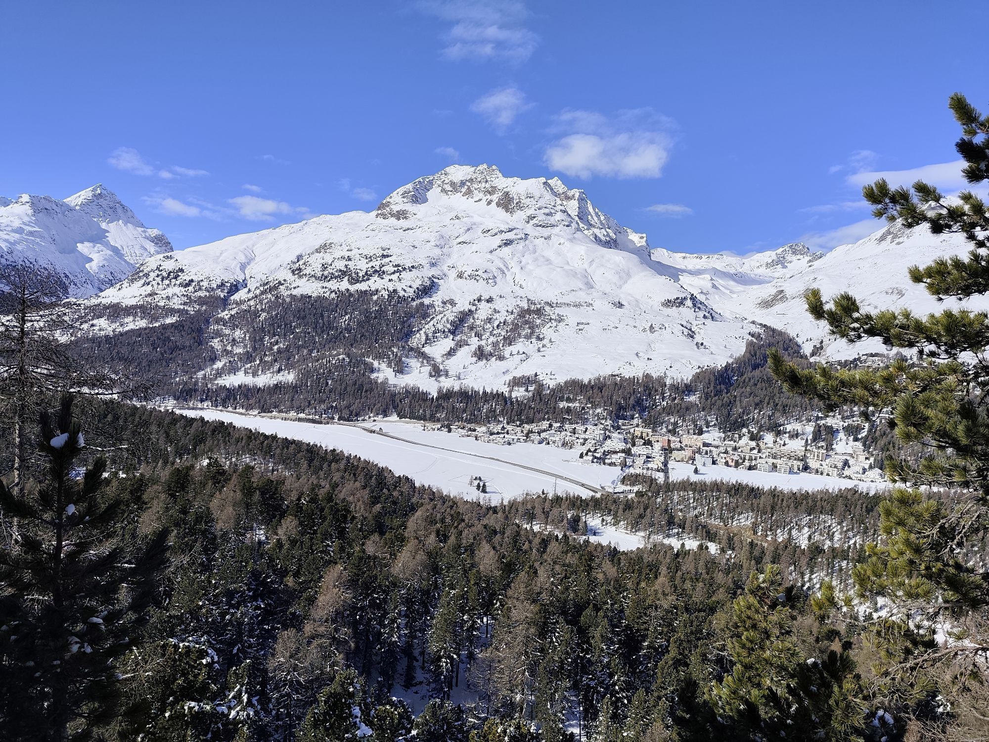


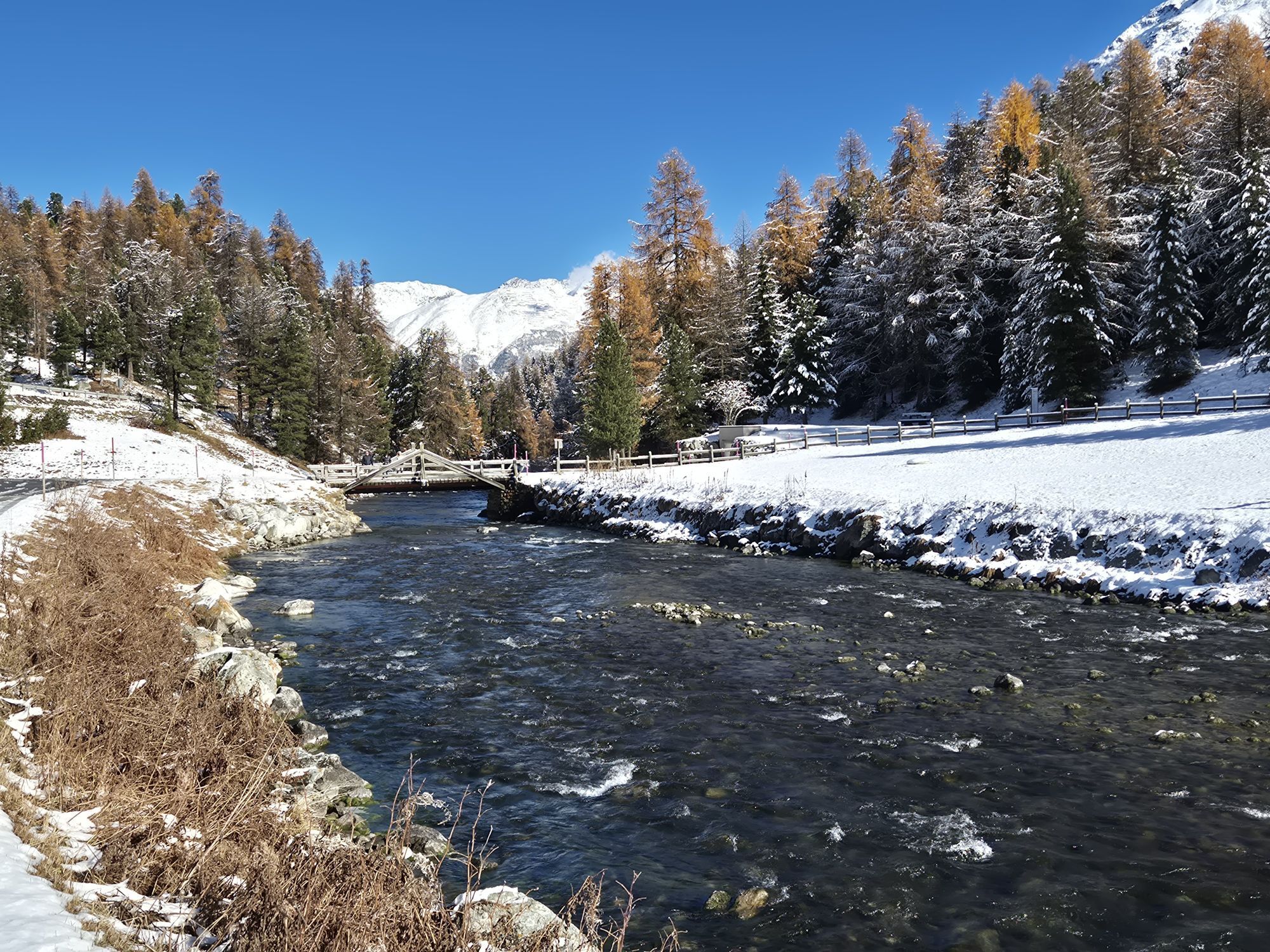
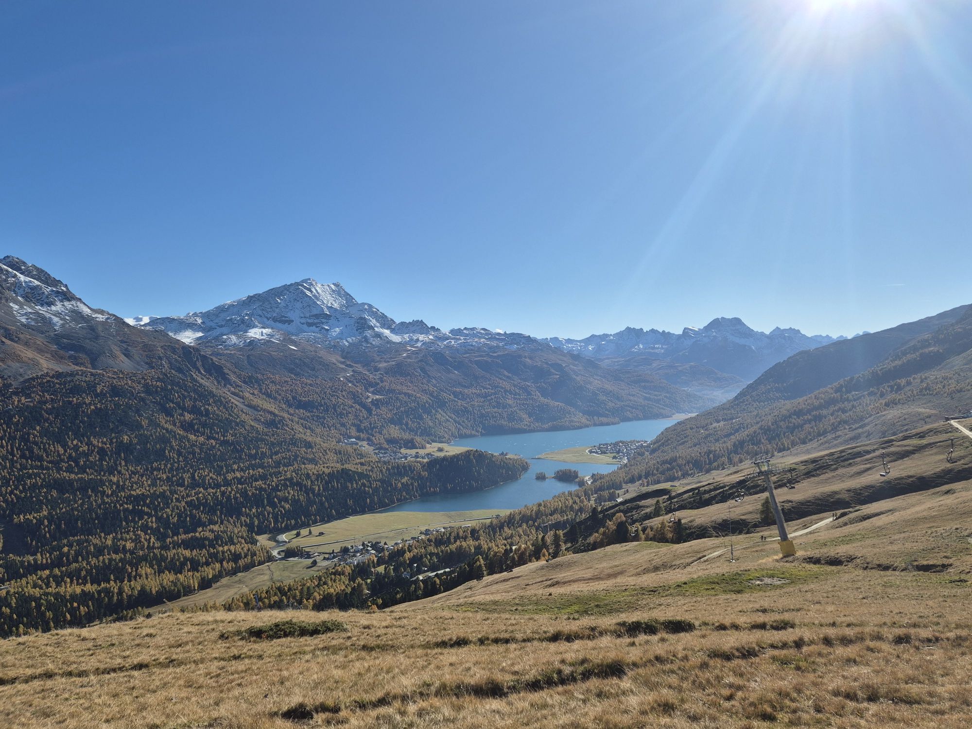
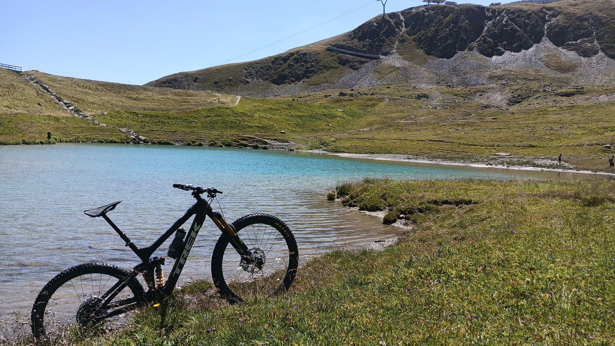
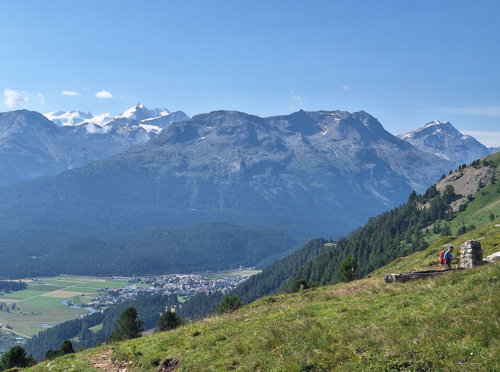
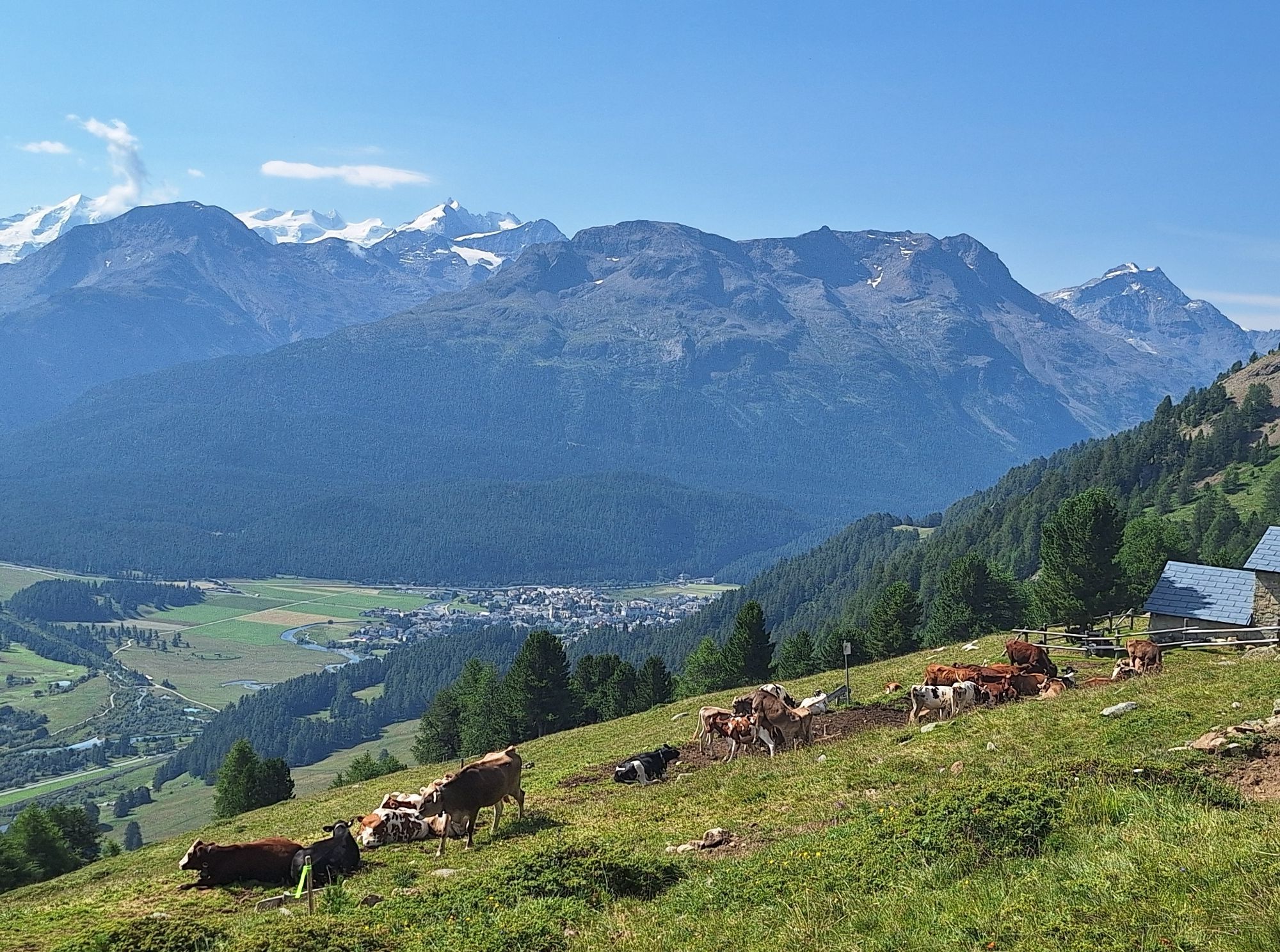
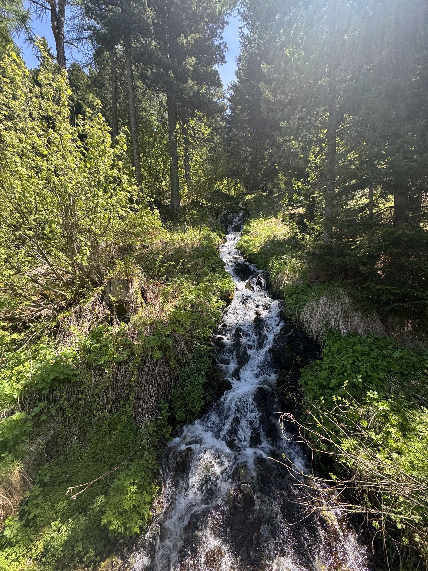
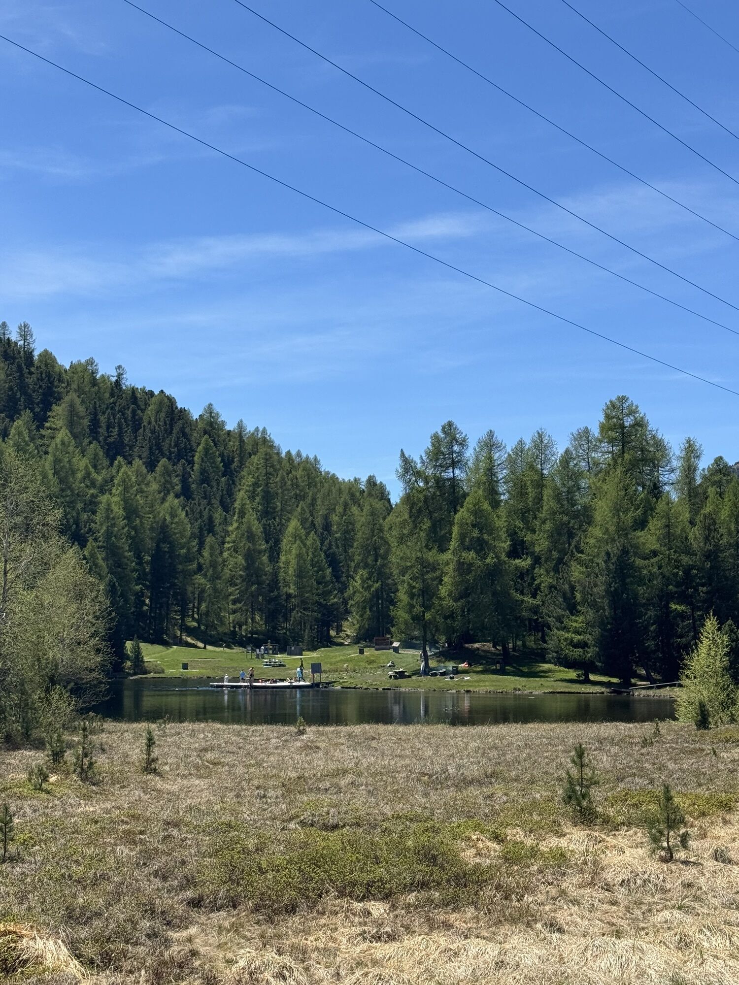
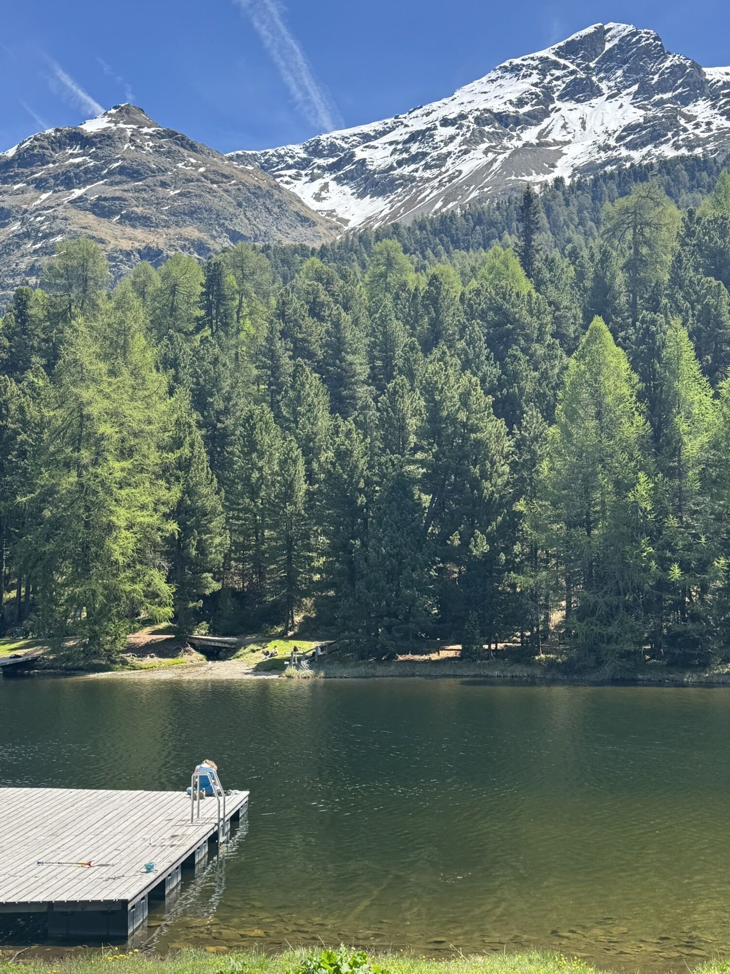
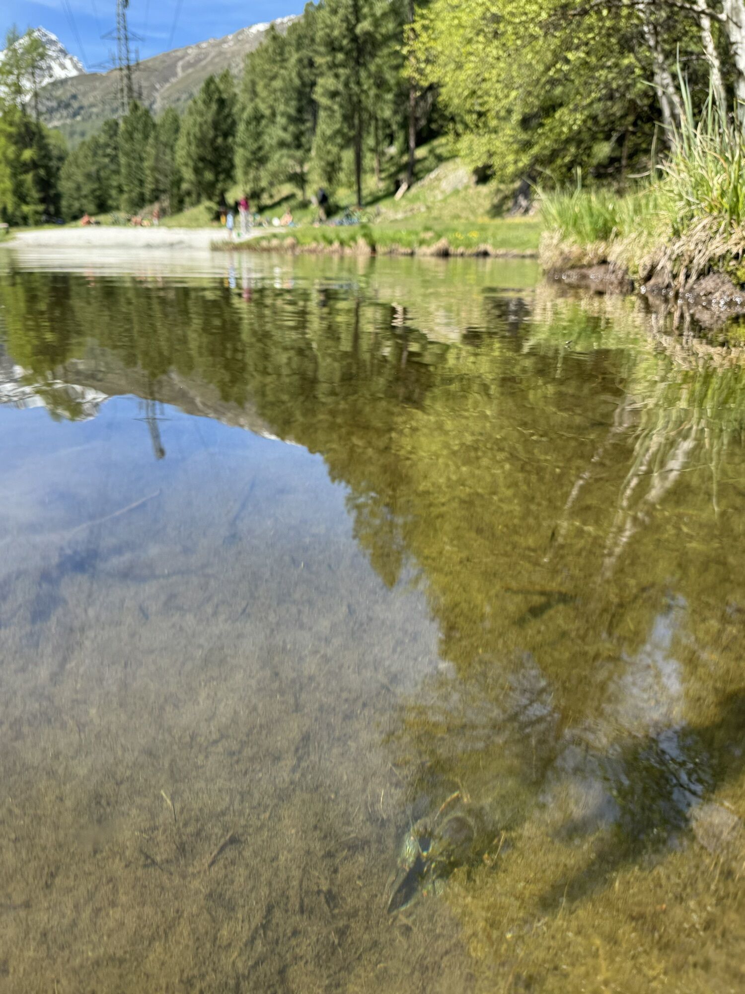
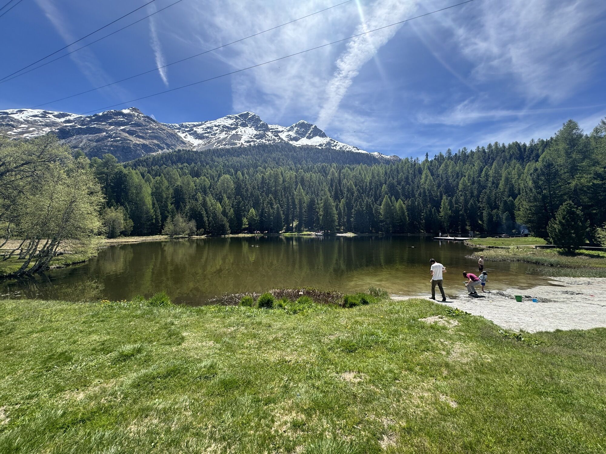
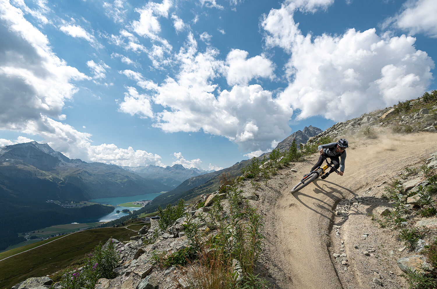
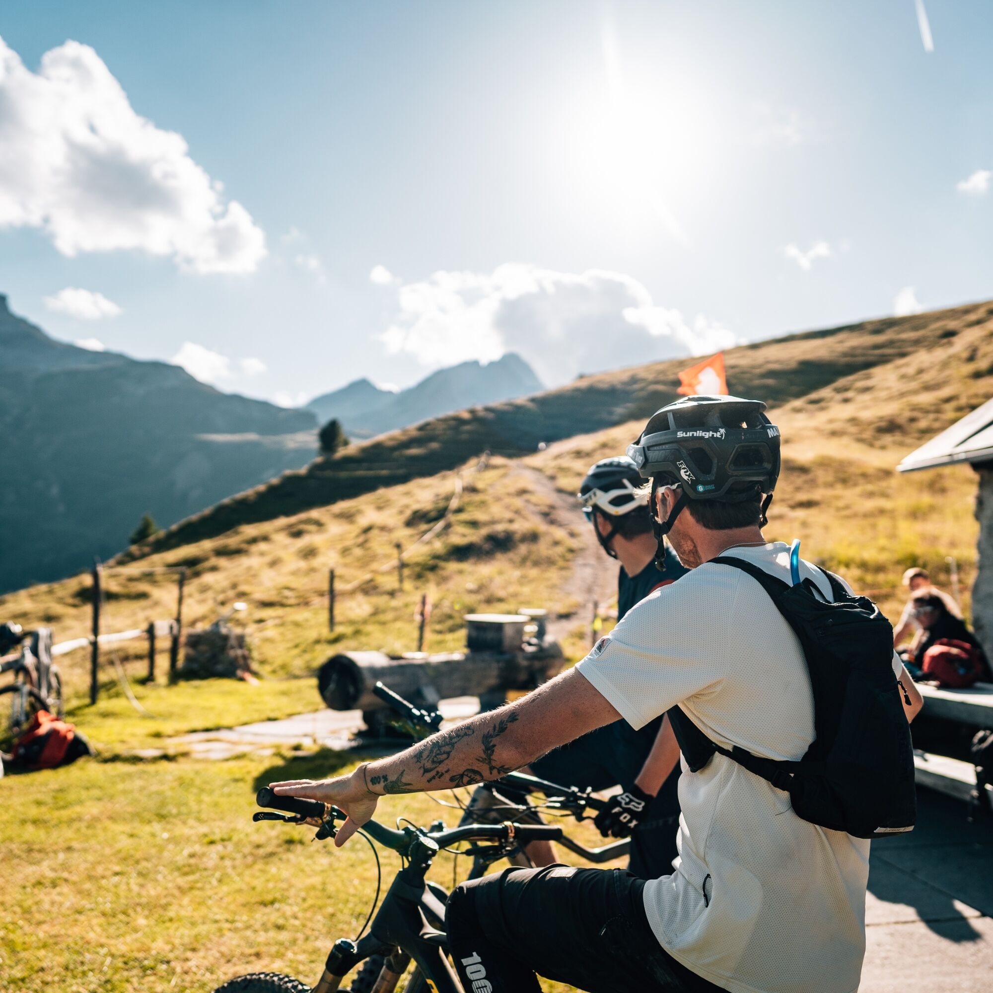
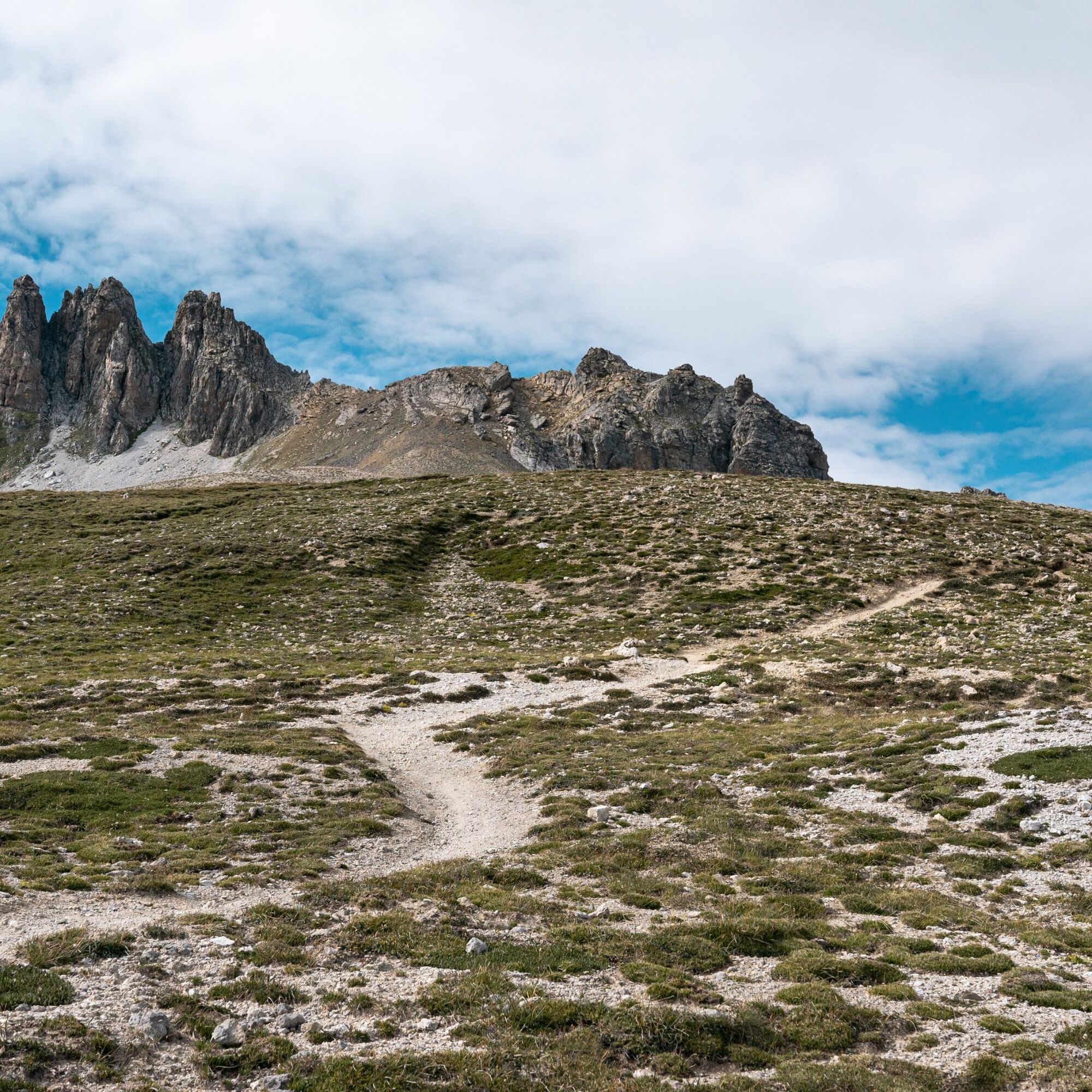
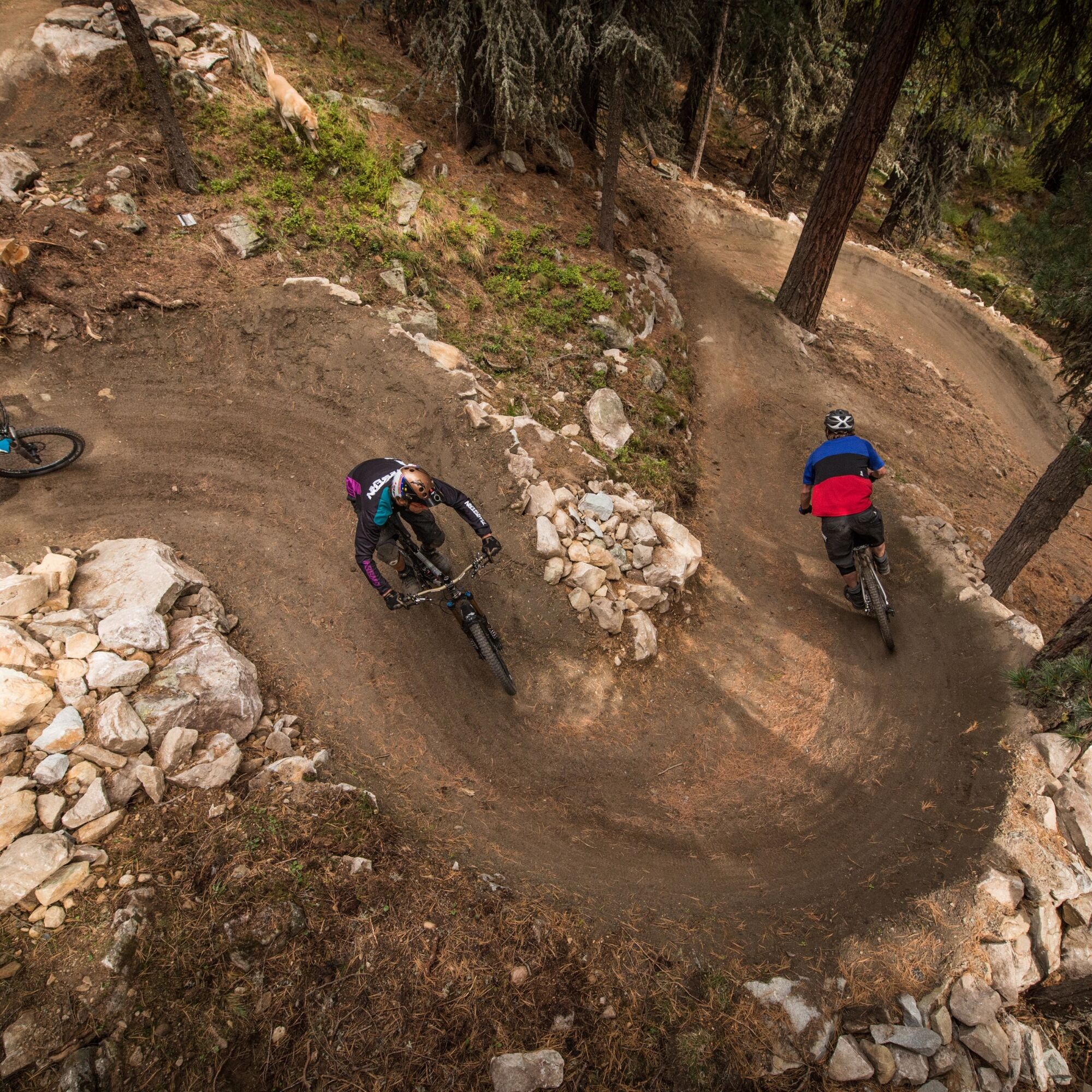
The route starts in Celerina, leads to Samedan and up to Alp Muntasch. There the single trails begin. First the Padella Trail, then up the Trais Fluors Trail and via the Chamanna Saluver and Lej Alv Trails...
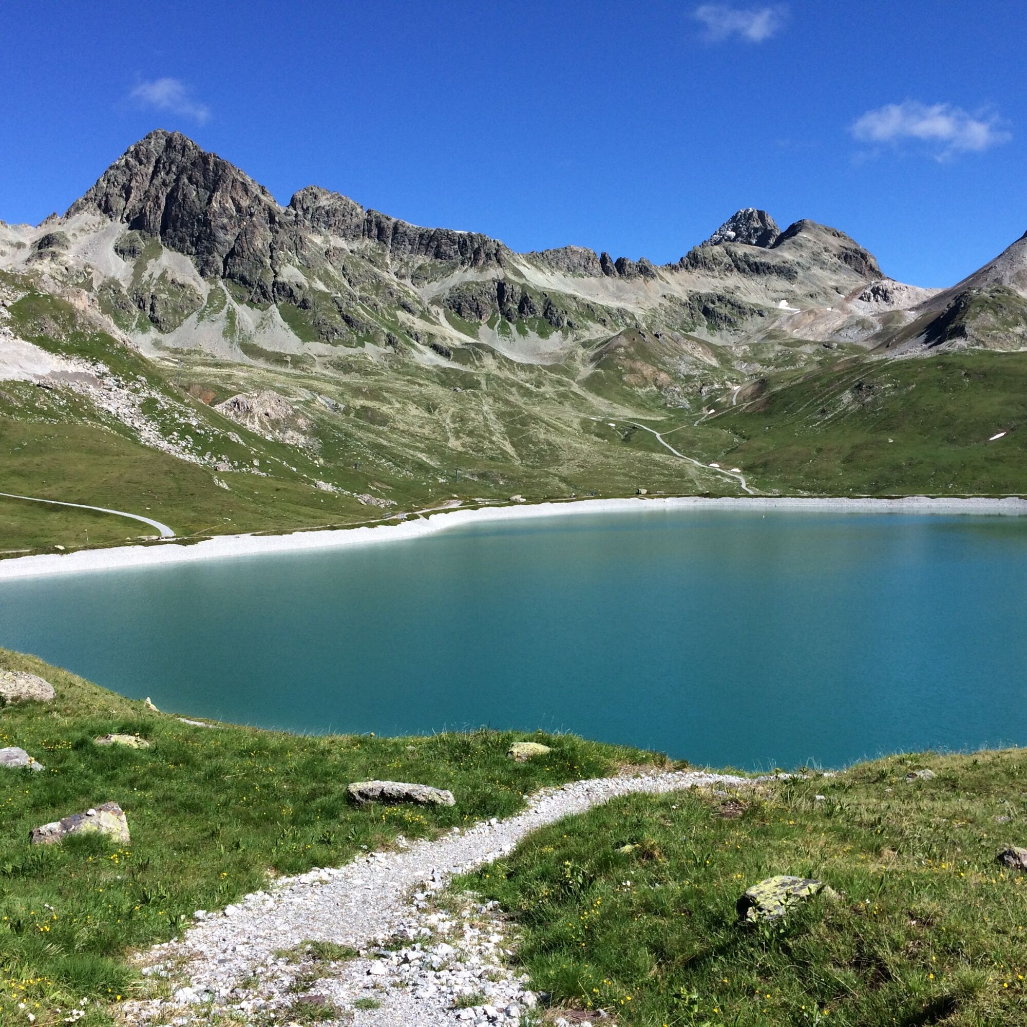
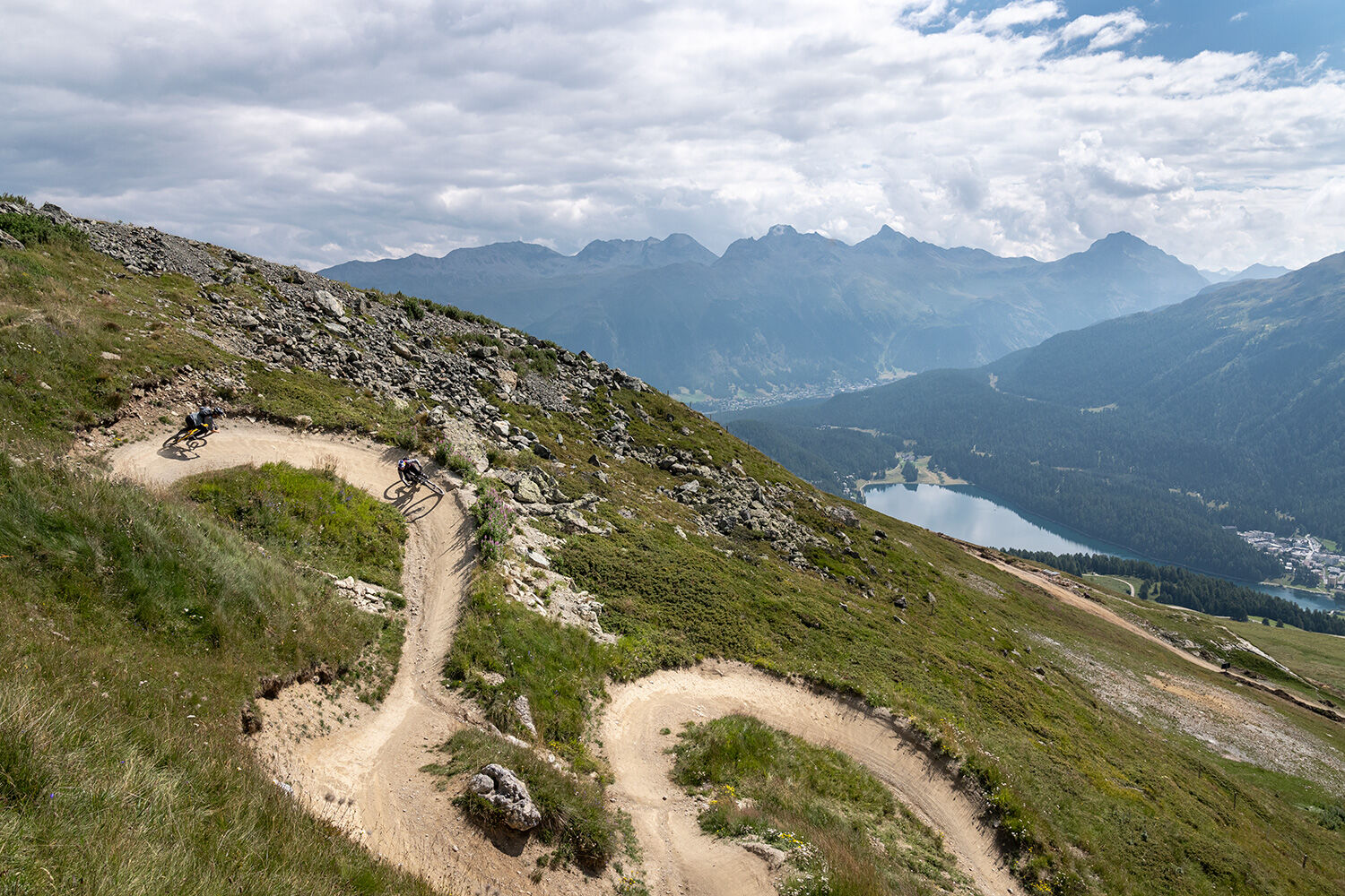
The route starts in Celerina, leads to Samedan and up to Alp Muntasch. There the single trails begin. First the Padella Trail, then up the Trais Fluors Trail and via the Chamanna Saluver and Lej Alv Trails to Corviglia. At Corviglia, the WM Flow Trail starts with its 360° curve and a fantastic view of Lake Silvaplana. Past Alp Suvretta and over the Fopettas Flow Trail you reach Champfèr. On the opposite valley side, the route goes past the two bathing lakes Lej Marsch and Lej da Staz back to Celerina.
Further information
Engadin Tourism AG
Via Maistra 1
CH-7500 St. Moritz
Phone: +41 81 830 00 01
E-mail: allegra@engadin.ch
Internet: www.engadin.ch


Celerina-Samedan-Alp Muntatsch-Trais Fluors-Chamanna Saluver-Lej Alv-Corviglia-Trutz-Alp Suvretta-Champfèr-Lej Marsch-Lej da Staz-Celerina
Da
Be considerate of oncoming bikers and hikers.
5
Spletne kamere s turneje
-
Corviglia
-
St. Moritz / Samedan - Muottas Muragl
-
Corvatsch
-
Samedo - Engadin Golf
-
St. Moritz / Samedan - Muottas Muragl
-
St. Moritz / Samedan - Muottas Muragl
-
St. Moritz / Samedan - Muottas Muragl
-
St. Moritz / Samedan - Muottas Muragl
-
Corviglia
-
Corviglia
-
Corviglia
-
Corviglia
-
Corviglia
-
Corviglia
-
Corviglia
-
Silvaplana - Mittelstation Murtèl
-
Silvaplana - Mittelstation Murtèl
-
Silvaplana - Mittelstation Murtèl
-
Silvaplana - Mittelstation Murtèl
-
Silvaplana - Mittelstation Murtèl
-
Corvatsch
-
Celerina - Cresta Palace
-
Piz Nair - St. Moritz
-
St. Moritz / Trais Fluors Bergstation
-
St. Moritz - Berghotel Randolins
-
Samedan - Engadin Airport
-
Piz Nair Bergstation
-
Piz Nair Bergstation
-
Piz Nair Bergstation
-
Piz Nair Bergstation
-
Piz Nair Bergstation
-
Piz Nair Bergstation
-
Piz Nair Bergstation
-
Piz Nair Bergstation
-
Trais Fluors Bergstation
-
Trais Fluors Bergstation
-
Trais Fluors Bergstation
-
Trais Fluors Bergstation
-
Trais Fluors Bergstation
-
Trais Fluors Bergstation

Priljubljeni izleti v okolici
-
5.0
Morteratsch station - Boval Hut
srednjaPohodništvo 10.5 km -
4.8
Panoramic route Muottas Muragl
svetlobaPohodništvo 6.75 km -
4.7
Diavolezza - Munt Pers
svetlobaGorski pohodništvo 3.82 km -
5.0
Muottas Muragl - Segantini hut - Pontresina
srednjaPohodništvo 6.46 km -
4.8
Morteratsch Glacier route
svetlobaTematska pot 2.88 km -
4.5
Pontresina - Val Roseg - Pontresina
svetlobaPohodništvo 13.8 km -
4.8
Alp Languard - Segantini Hut - Muottas Muragl
srednjaTrailrunning 6.45 km -
4.8
SAC Tschierva
svetlobaPohodništvo 24.7 km -
4.8
Around Lake St. Moritz
svetlobaPohodništvo 4.32 km -
Muottas Muragl - Segantini Hütte - Pontresina
srednjaPohodništvo 17.5 km
Pohodništvo in sledenje


Ne zamudite ponudb in navdiha za naslednje počitnice
Vaš e-poštni naslov je bil dodan na poštni seznam.


