







Stams - Mittagsplatte
The start of this tour is at the train station Chur. Cycle out of the city in eastern direction, through the Fürstenwald (forest) to the village of Trimmis. When you have crossed the stream in Trimmis,...
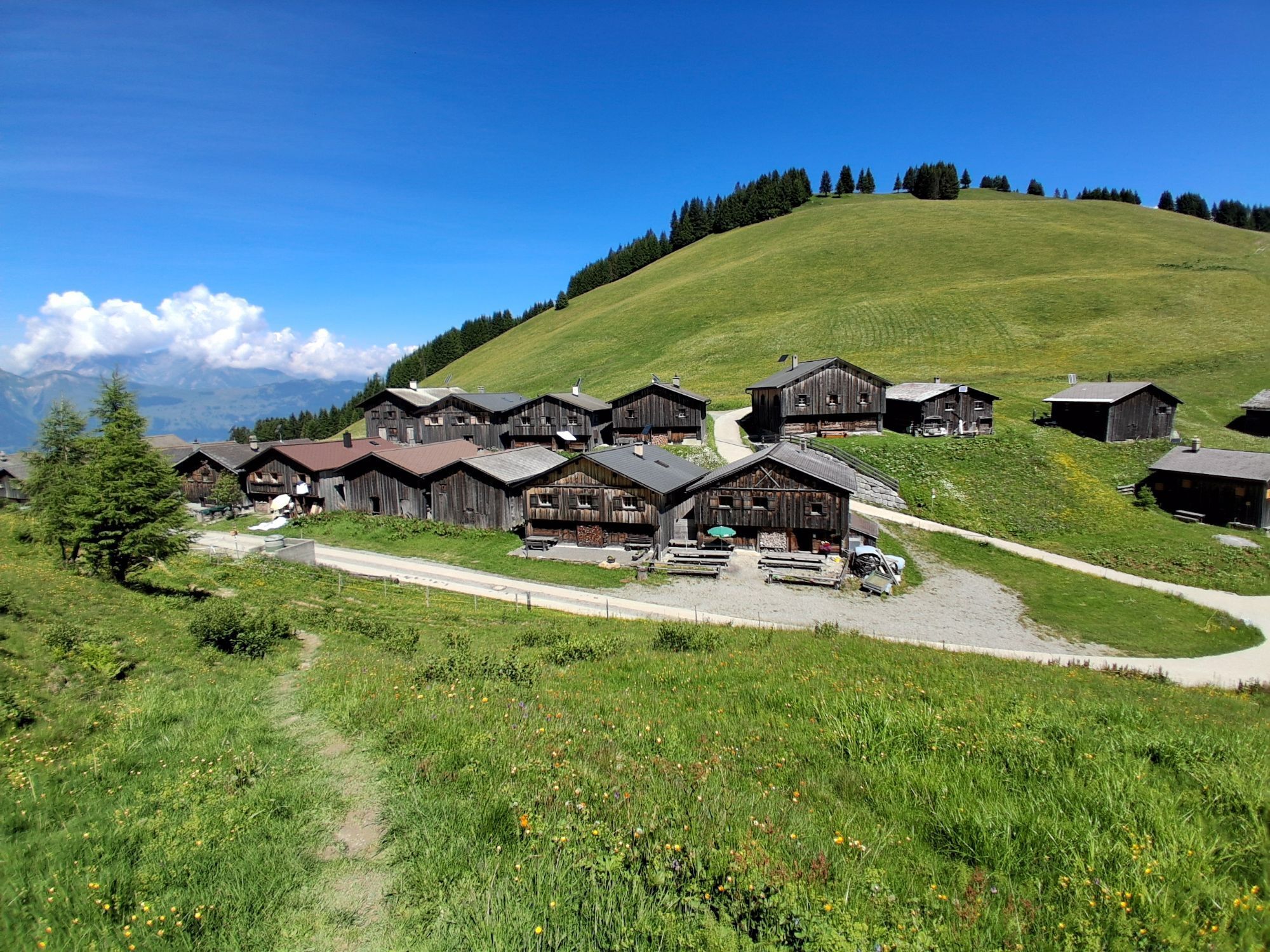
The start of this tour is at the train station Chur. Cycle out of the city in eastern direction, through the Fürstenwald (forest) to the village of Trimmis. When you have crossed the stream in Trimmis, the ascent begins on the right side up to Says and further up to Stams, where you will have a splendid panorama view. During the summer months, the restaurant in Stams is feasted and you can refresh yourself with some drinks and snacks.
From Stams follow the trail uphill across the meadow. And then the first downill begins on a challenging but ridable single track into direction of Clavadatsch. Back on the street you continue to Valzeina, where the second (but short) ascent begins and leads you up to the Mittagsplatte, where a 120 m high transmitting mast is positioned. Shortly before, you branch off to the left and follow a trail through the meadow to a fence. Here, the second part of the descent begins. At first quite steep and demanding, but soon getting easier and smoother, through the "Schlund" back into the valley. Leave the village of Zizers to your right and continue along Molinära back to Trimmis. After crossing the village, follow the trail to the Rhine river. From there, follow the official cycling path Rhine route No. 2 back to Chur.

Spletne kamere s turneje
Pridobite vpogled Vedno v živo na mestu z več kot 9.500 spletnimi kamerami. bergfex Kot uporabnik Pro si lahko zdaj ogledate ustrezne spletne kamere za številne izlete v aplikaciji izleti iz. Tako si lahko neposredno ogledate trenutne razmere. Priljubljeni izleti v okolici
- 3.7
Fürstin-Gina-Weg
Pohodništvo 10.7 km - 4.7
Tamina Gorge Circular Route
srednjaPohodništvo 14.0 km - 4.6
Pizalun circular route
svetlobaPohodništvo 7.18 km - 4.7
Off to the Falknis
težkoPohodništvo 18.2 km - 5.0
Circular hike Bettlerweg & 2-Lakes Hike Pizol
srednjaPohodništvo 11.4 km - 5.0
Lünersee - Schesaplana - Brand 2 Tages Tour Optional mit Zelt
težkoPohodništvo 20.2 km - 5.0
Pfälzerhütte route
težkoMountainbike 9.54 km - 4.7
From Malbun (FL) to Nenzinger Himmel (AT)
težkoPohodništvo 18.5 km - 5.0
Leiterliweg, Fläsch, Schweiz
svetlobaPohodništvo 12.5 km - 5.0
Vandans - Totalphütte - Schesaplana - Douglasshütte
srednjaPohodništvo 18.0 km
Pohodništvo in sledenje


Ne zamudite ponudb in navdiha za naslednje počitnice
Vaš e-poštni naslov je bil dodan na poštni seznam.





