






Val Müstair circular route – on the tracks of the local bike pros

Stopnja težavnosti: S2
In Val Müstair, this route is well known and very popular among local bikers. It is not uncommon to meet the Jauer* on some sections of this circular route. The route starts in Müstair opposite the UNESCO...
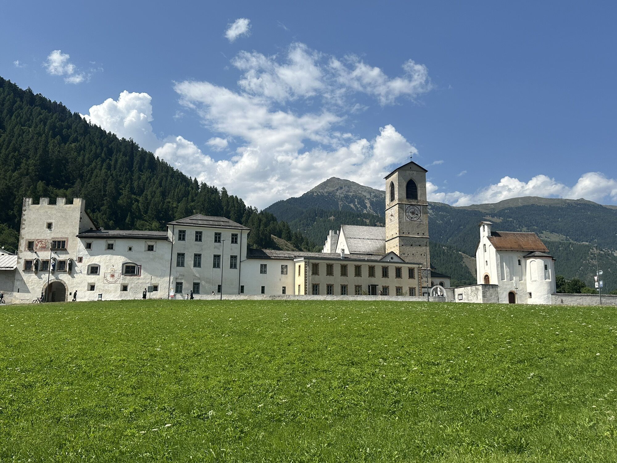
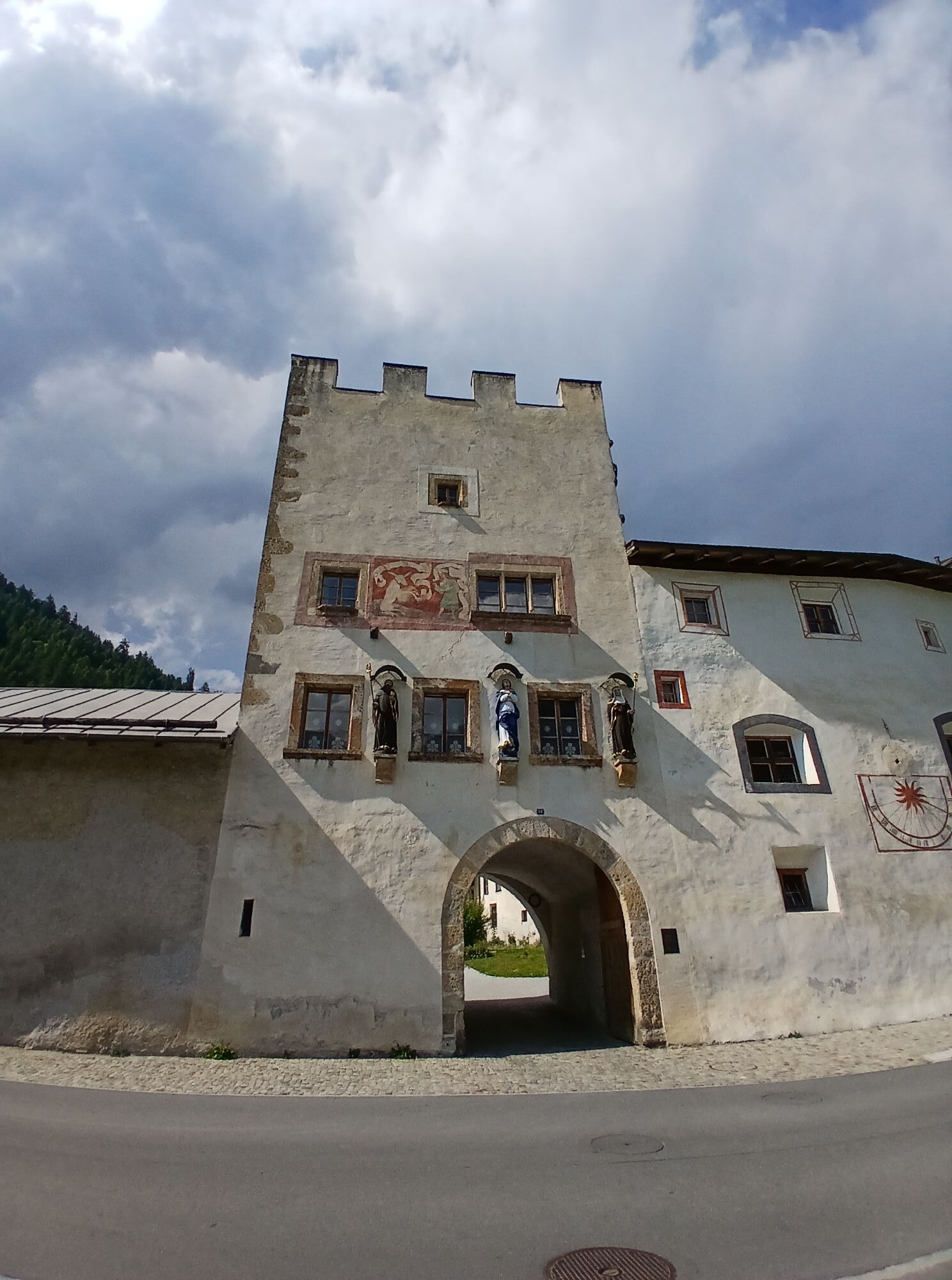
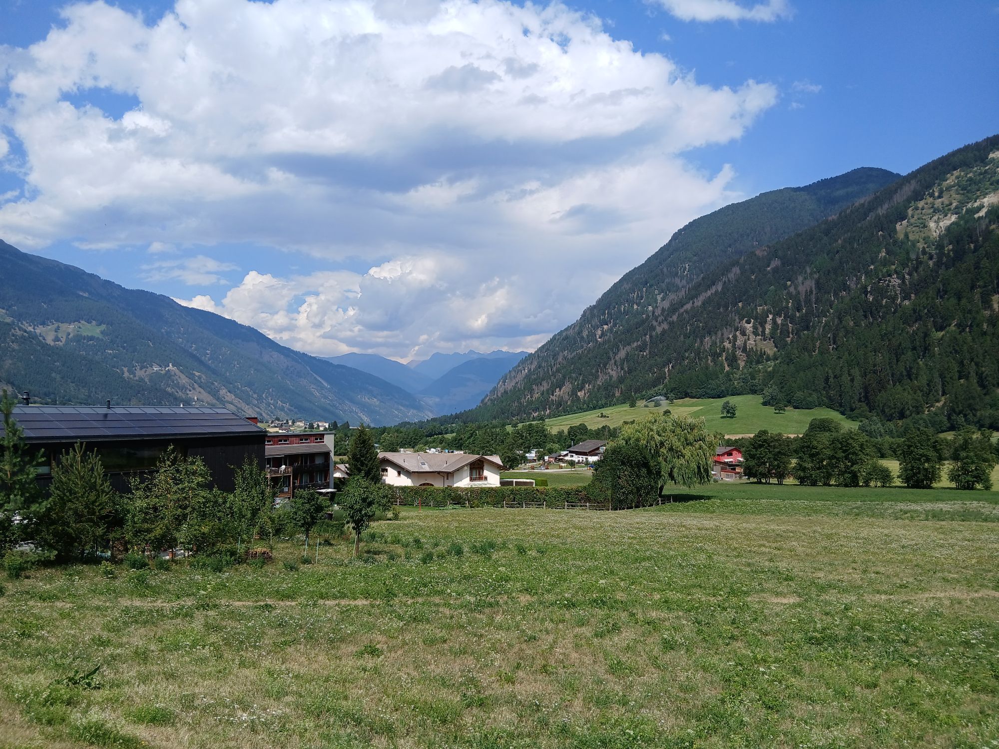
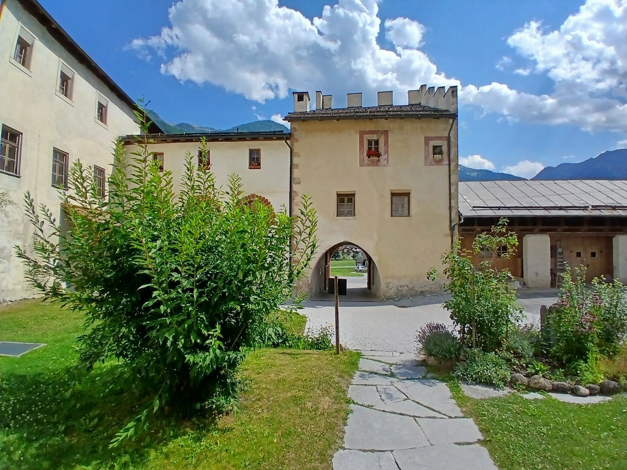
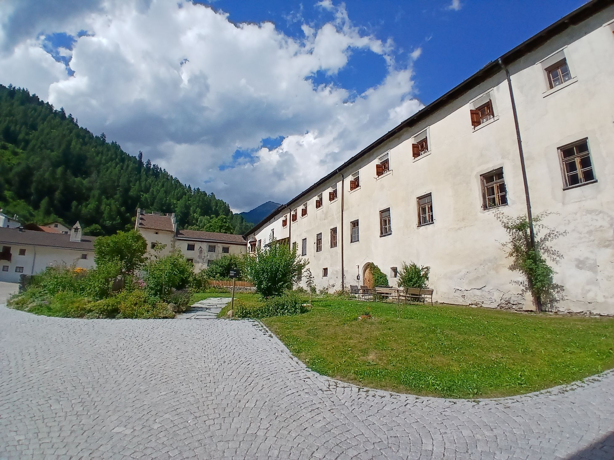
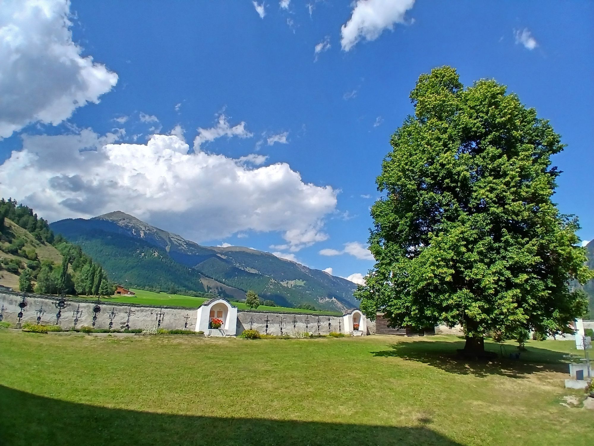
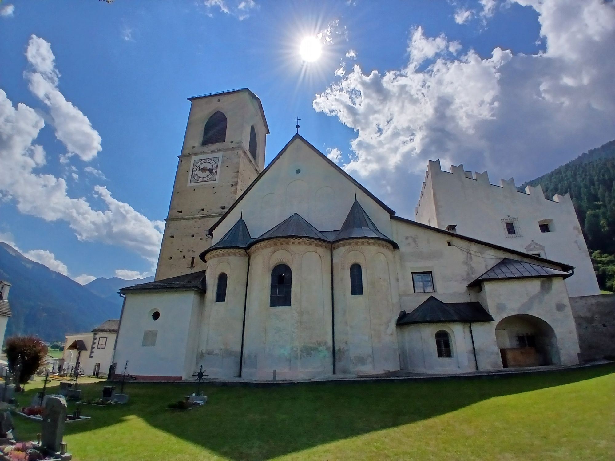
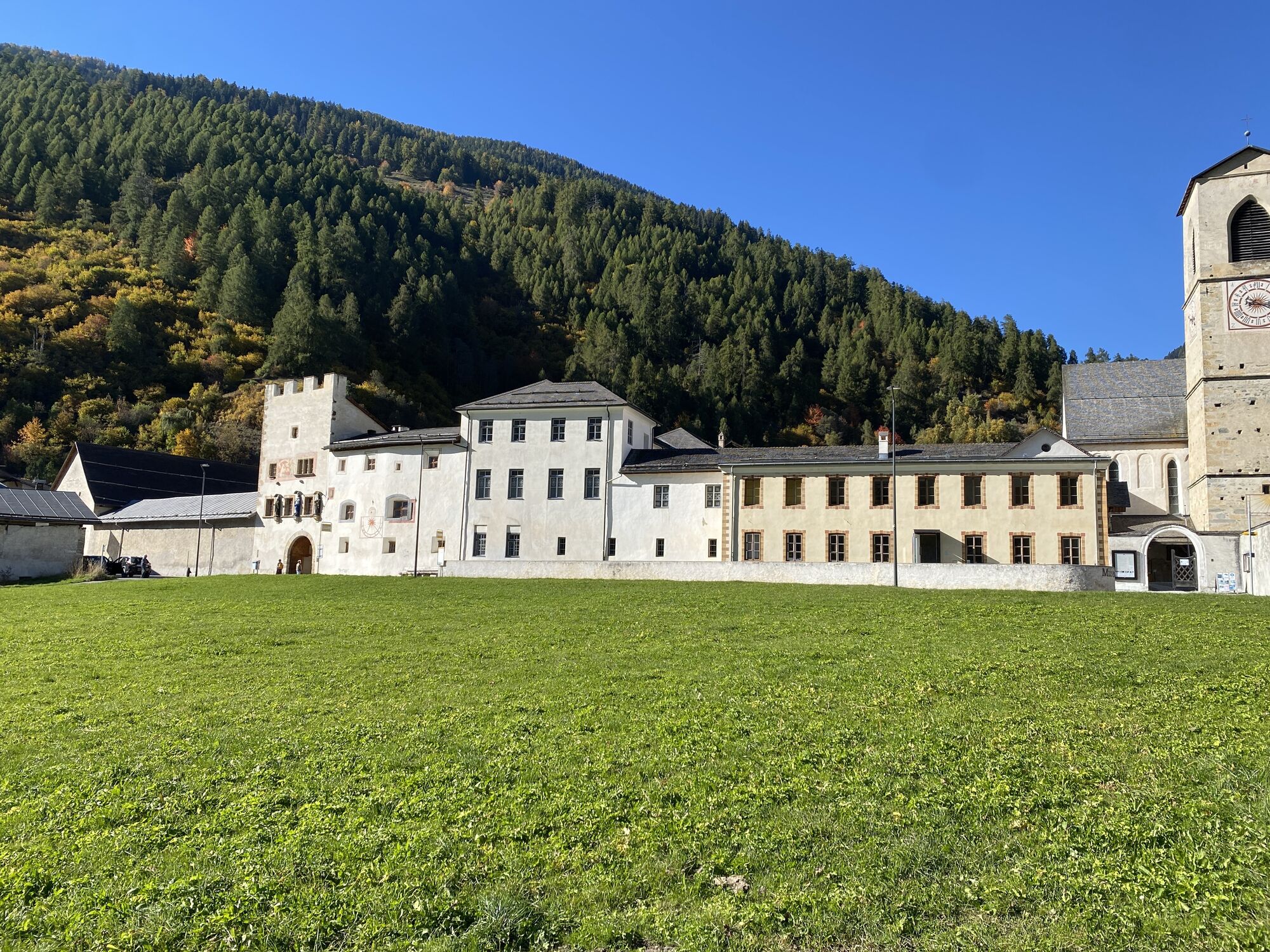
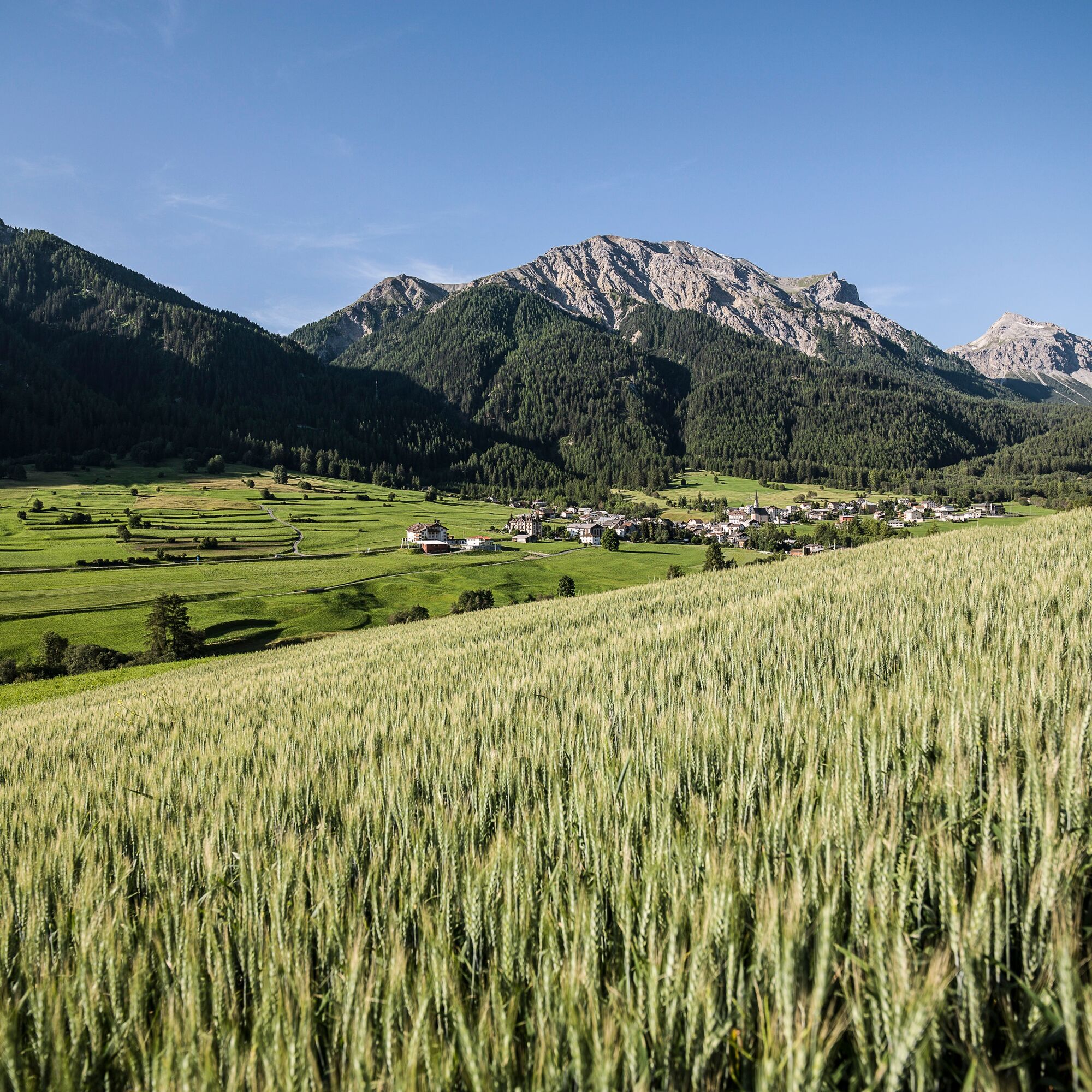
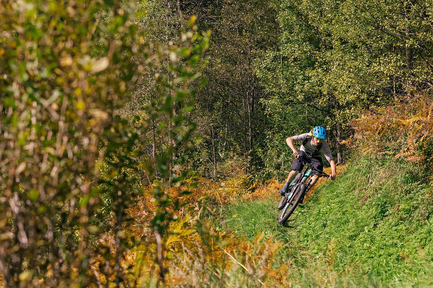
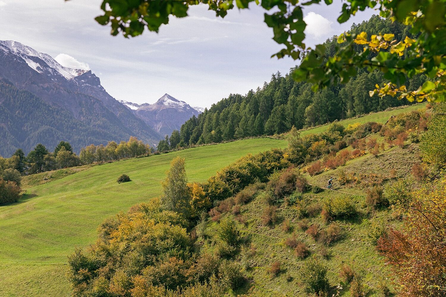
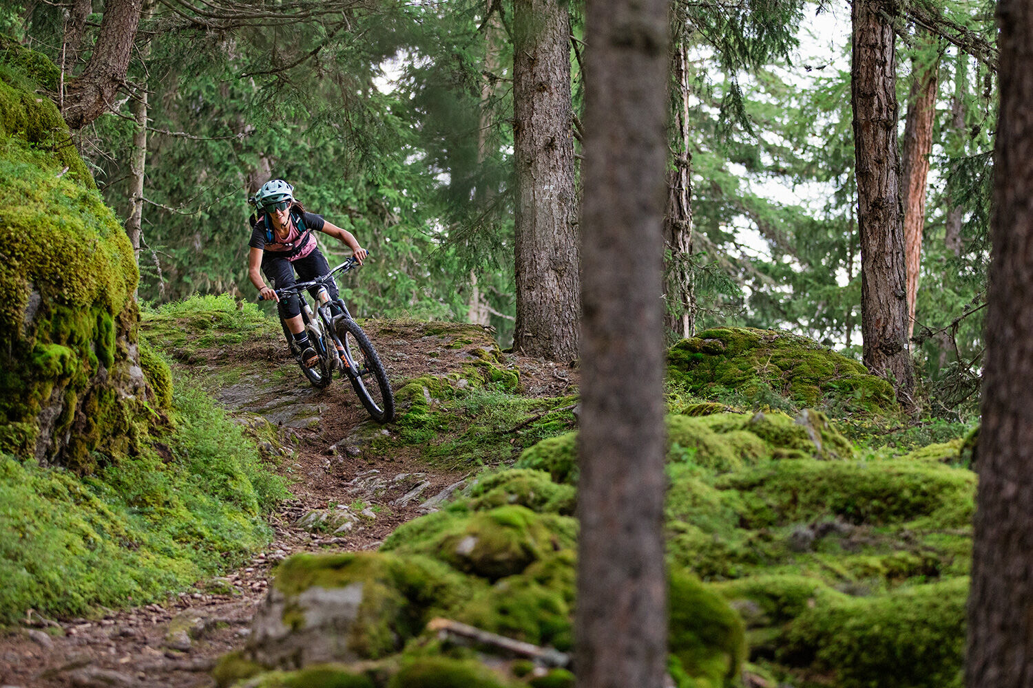
In Val Müstair, this route is well known and very popular among local bikers. It is not uncommon to meet the Jauer* on some sections of this circular route. The route starts in Müstair opposite the UNESCO World Heritage Monastery of St. Johann. To warm up, you cycle on a farm road on the sunny side of the valley towards Sta. Maria. Shortly after Sta. Maria, after a short steep climb, you reach the junction towards Val Mora. From there, you follow the forest road to Palüetta (1716 m above sea level). At this curve, a lumberjack guarding the entrance as an impressive wood sculpture marks one of the most exciting singletrails in this area. The moderate singletrail is a secret tip and very smooth to ride. At the bottom, you reach Bains da Guad via Sta. Maria and a section of the Umbrail road. It is worth taking a break here to enjoy the view. Shortly after Bains da Guad, a singletrail begins that leads back to Müstair. The last part of this singletrail is an exciting challenge for lovers of hairpin bends. Only a few bikers can complete the entire trail without dismounting!

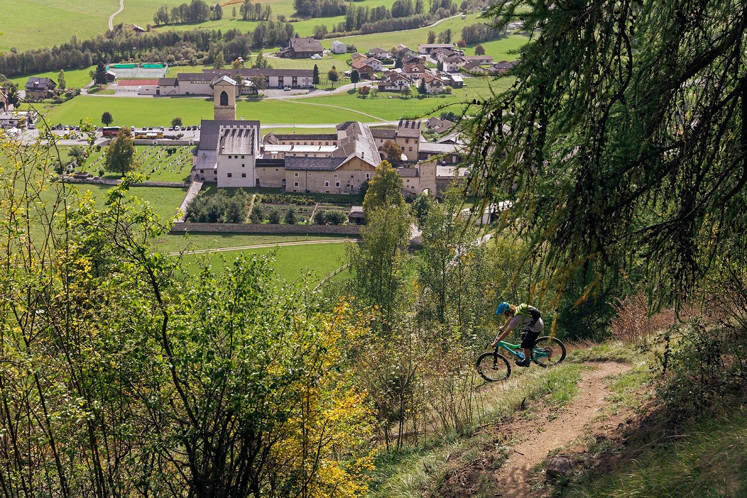
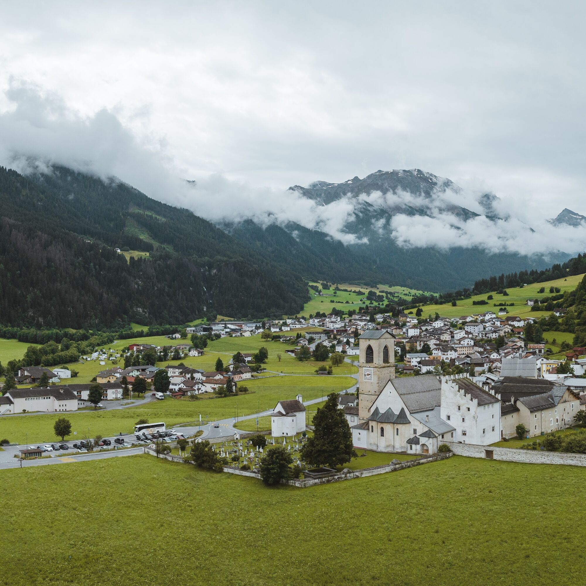

Start at the St. Johann Monastery
Farm road towards Sta. Maria
Shortly after Sta. Maria, at the junction towards Val Mora, follow the forest road to Palüetta 1716 m
Start of singletrail at the lumberjack
At the bottom, via Sta. Maria and a section of the Umbrail road to Bains da Guad
Shortly after Bains da Guad, singletrail back to Müstair
Da
Da
Helmet, gloves, good footwear, glasses, rain and sun protection, drinking bottle, repair kit, first aid kit
The route was rated under favorable weather conditions; current weather conditions and forecasts must be strictly observed before setting out.
This route requires a high level of riding safety, balance, and technical skills.
Emergency numbers:
144 Emergency, first aid
1414 Mountain rescue REGA
112 International emergency number
Please be considerate when crossing and overtaking hikers
The Grisons mountain bike routes mostly run on singletrails also marked as hiking paths. Hikers always have the right of way.
From the north: via Landquart – Klosters by car shuttle through the Vereina tunnel (Selfranga - Sagliains) or via Flüela Pass and Ofen Pass to Val Müstair at Müstair, Clostra Son Jon.
From the east: via Landeck / Austria towards St. Moritz on H27 to Zernez and then over the Ofen Pass to Val Müstair at Müstair, Clostra Son Jon.
From the south: via Reschen Pass (Nauders-Martina) to Val Müstair at Müstair, Clostra Son Jon
Hourly by the Rhaetian Railway (from Chur, Landquart/Prättigau, or from the Upper Engadin) to Zernez station
Hourly by PostAuto (from Zernez) to the PostAuto stop Müstair, Clostra Son Jon
Free parking in Müstair, Clostra Son Jon.
S2
Spletne kamere s turneje

Priljubljeni izleti v okolici
- 5.0
Mountain restaurant Plantaptasch (without Lift)
srednjaPohodništvo 3.42 km - 3.7
Payerhütte 3020m
Pohodništvo 6.98 km - 4.4
Sonnenaufgang auf der Rötelspitze im Nationalpark Stilfserjoch
Pohodništvo 2.02 km - 5.0
Wanderung/Aufstieg zur Payerhütte
svetlobaPohodništvo 15.9 km - 5.0
Ortler über Meraner Weg (vom Tal/Trafoi)
težkoVisokogorska tura 11.9 km - 4.5
Ortler – Normalweg
težkoVisokogorska tura 7.30 km - 5.0
Ortler über Hintergrat
težkoVisokogorska tura 8.03 km - 3.5
Watervallen wandeling
svetlobaPohodništvo 4.95 km - 3.4
Sta.Maria, Prà da Vau - Lai da Rims - Alp Sot - Prà da Vau
težkoPohodništvo 14.7 km - 4.8
Wanderung: Heilige drei Brunnen zur Berglhütte
svetlobaPohodništvo 5.51 km
Pohodništvo in sledenje


Ne zamudite ponudb in navdiha za naslednje počitnice
Vaš e-poštni naslov je bil dodan na poštni seznam.





