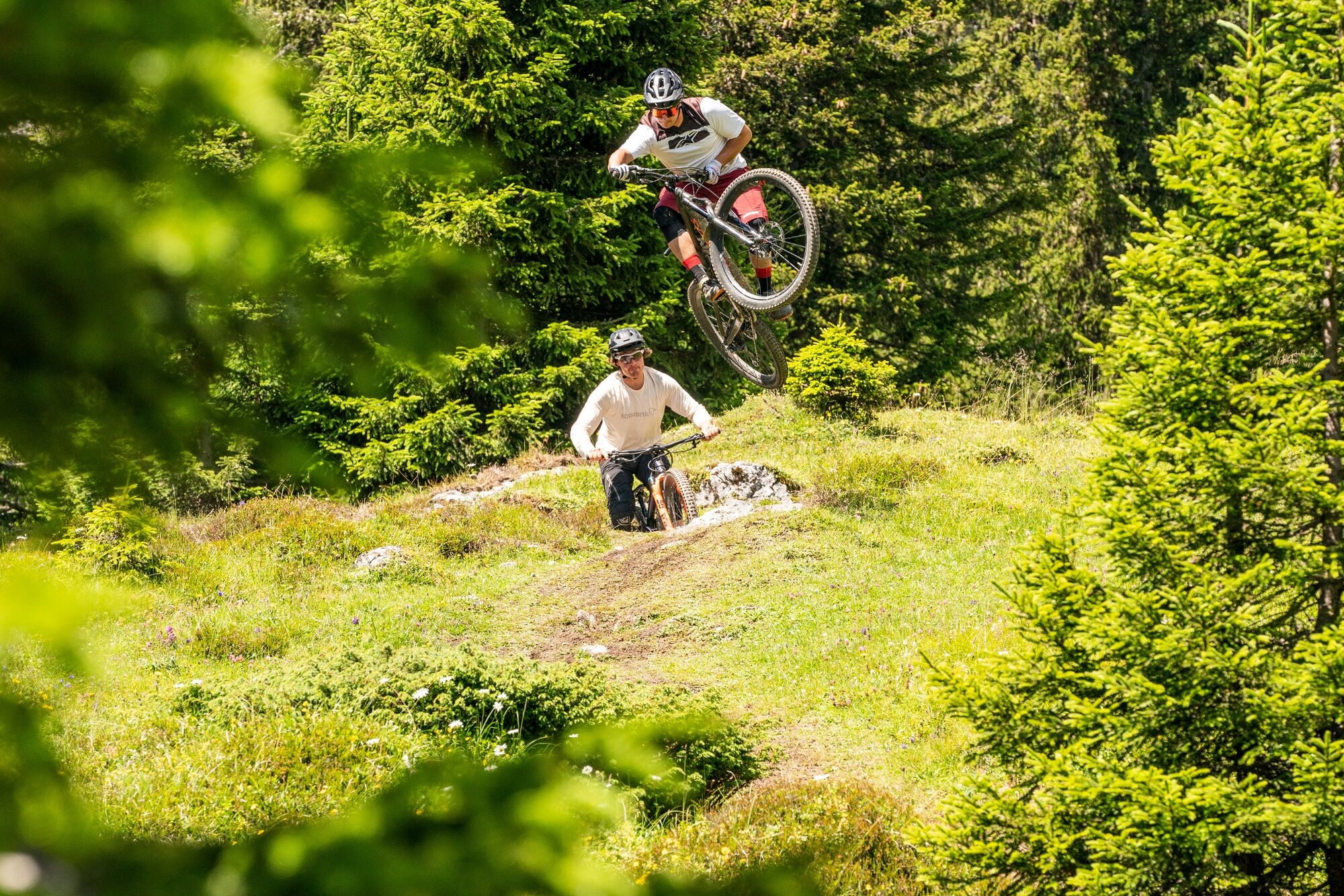
Nagens Trail
srednja
Mountainbike
Navigacija po spletni strani
Pridobite to turo v svoj mobilni telefon
Zemljevid
Nagens Trail
srednja
Mountainbike
5.19 km
Skenirajte kodo QR in začnite navigacijo v aplikaciji bergfex.
QR Code
Pohodništvo in sledenje

Nagens Trail

Razdalja
5.19 km
Trajanje
30:00 h
Ascent
- hm
Morska gladina
1,607 - 2,175 m

Stopnja težavnosti: S2

Prenos skladbe
Zemljevid
Nagens Trail
srednja
Mountainbike
5.19 km

You can easily reach the start of the Nagens Trail by taking the cable car from Flims. After joining the trail at Nagens Sura, at around 2,200 metres above sea level, the ride starts off with a smooth,...


Opis
You can easily reach the start of the Nagens Trail by taking the cable car from Flims. After joining the trail at Nagens Sura, at around 2,200 metres above sea level, the ride starts off with a smooth, flowy ride across the alpine meadows. In early or late summer, you might well hear the occasional marmot whistling enthusiastically from the side of the trail. In the next section, the trail gets a bit rougher – but no less fun. Now your suspension fork and riding skills are put to the test: the rocky but always completely natural and manageable sections accompany you until you’re fully immersed in the forest. Now the trail gets twistier again. The root-covered forest sections make you nearly forget everything you’ve already mastered on this trail.

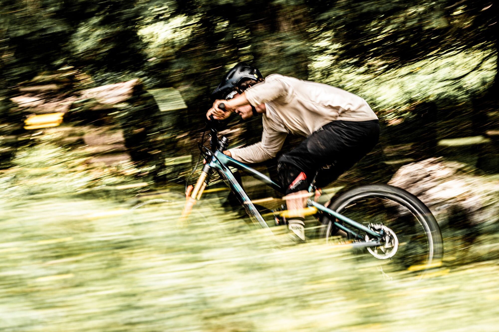
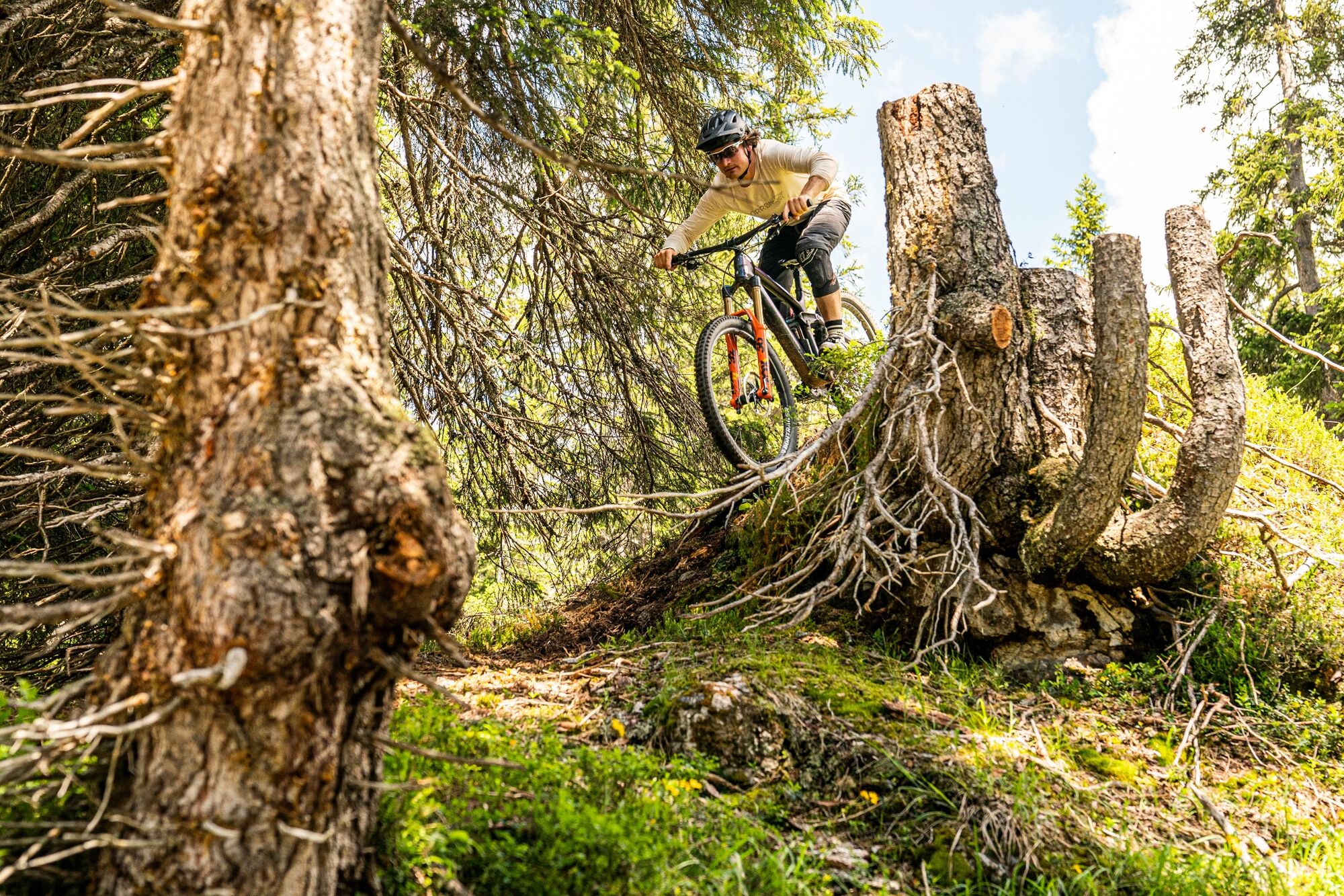
Following the Nagens Trail, the route continues straight downhill on the Green Valley Trail.

Informacije o turneji

The Nagens Trail in Flims Laax offers everything that makes the enduro heart beat faster:

Vrsta poti
Preizkus
Tehnologija
3 / 6
Stanje
3 / 6
Pokrajina
5 / 6
Izkušnje
5 / 6
Najboljši letni čas
Jan
Feb
Mar
Apr
Maj
Jun
Jul
Avg
Sep
Okt
Nov
Dec
Avtor
Zagotavlja Flims Laax
Za ogled Nagens Trail poskrbi outdooractive.com.
Logo
Skupna turneja
Zemljevid
Nagens Trail
srednja
Mountainbike
5.19 km
Napaka
Zgodila se je napaka. Prosimo, poskusite znova.
Informacije o poti
Geološki poudarki

Da

Gondola/kabinska žičnica

Da

Varnostna navodila
Wear appropriate protection (at least a helmet and knee pads).

Always carry a bike repair kit and a first-aid kit in your backpack.

Informacije o prihodu
Prihod

By car via highway A13 from Zurich or St. Gallen. Leave highway on exit no. 18 "Reichenau" towards Flims.

Javni prevoz
Take the train to Chur. From there, take the post bus to Flims (mountain railways).

Reservation of your bike in the post bus is subject to a charge and is compulsory via sbb.ch.

Parkirišče

Car park "Stenna" in Flims next to the mountain railways.

Dodatne informacije in nasveti
Stopnja težavnosti

S2

Še ni pregledov
Napišite pregled

Mnenja pomagajo drugim uporabnikom pri izbiri naslednje pustolovščine. Ocenite samo izlet, ne pa tudi vremena ali prigrizka.

Izberite eno od zvezdic, da ocenite ogled
Slaba turneja
Šibka turneja
Povprečna turneja
Dobra tura
Odlična tura
bergfex logo Pridobite vpogled Vedno v živo na mestu z več kot 9.500 spletnimi kamerami. bergfex Kot uporabnik Pro si lahko zdaj ogledate ustrezne spletne kamere za številne izlete v aplikaciji izleti iz. Tako si lahko neposredno ogledate trenutne razmere.
Pohodništvo in sledenje

Pohodništvo in sledenje

Pohodništvo in sledenje
Zaradi več kot 550.000 predlogov izletov, podrobnih zemljevidov in intuitivnega načrtovanja poti je aplikacija obvezna oprema za vse ljubitelje narave.
Pohodništvo in sledenje
bergfex bergfex