







Pontresina-Val da Fain-Livigno-Pass Chaschauna-S-chanf-Pontresina
Stopnja težavnosti: S3
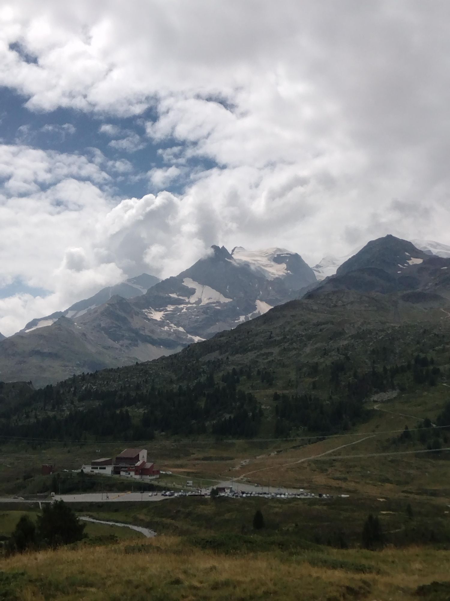
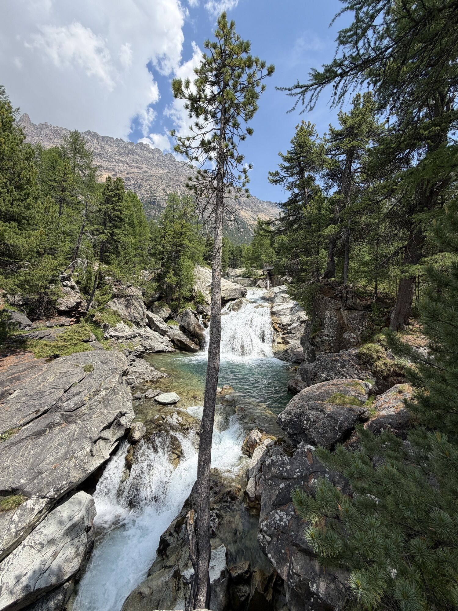
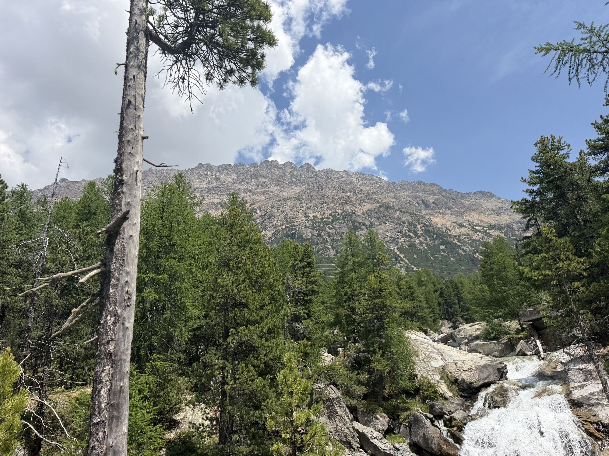
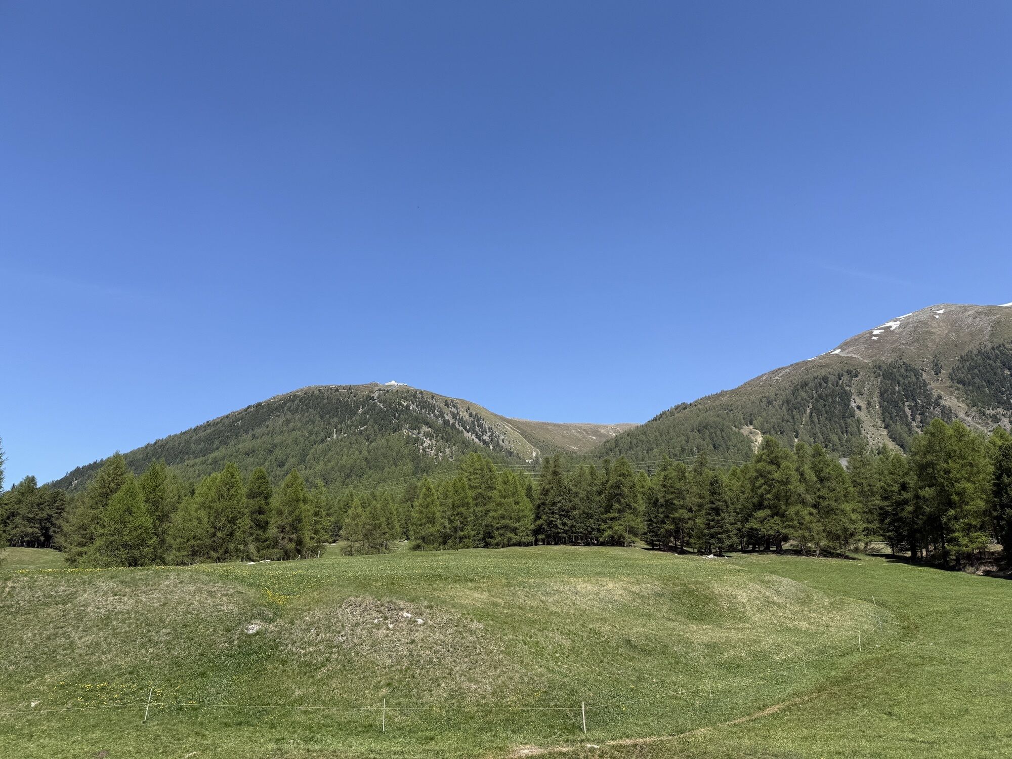
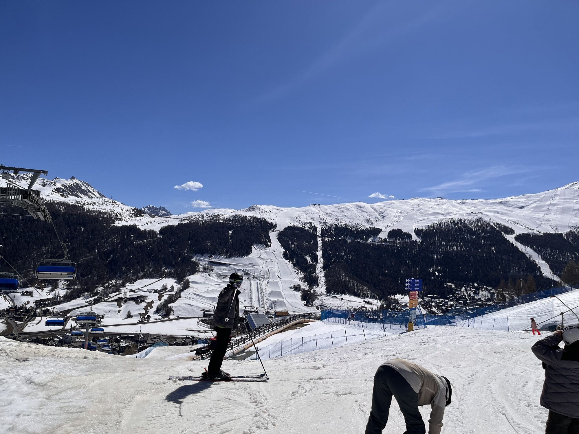
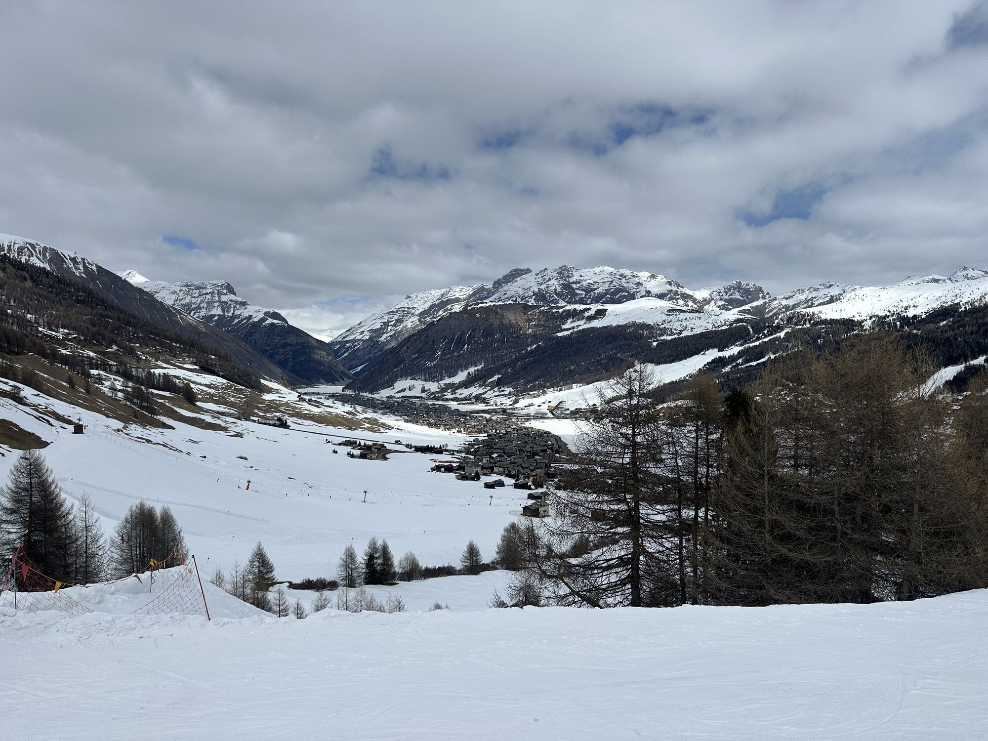
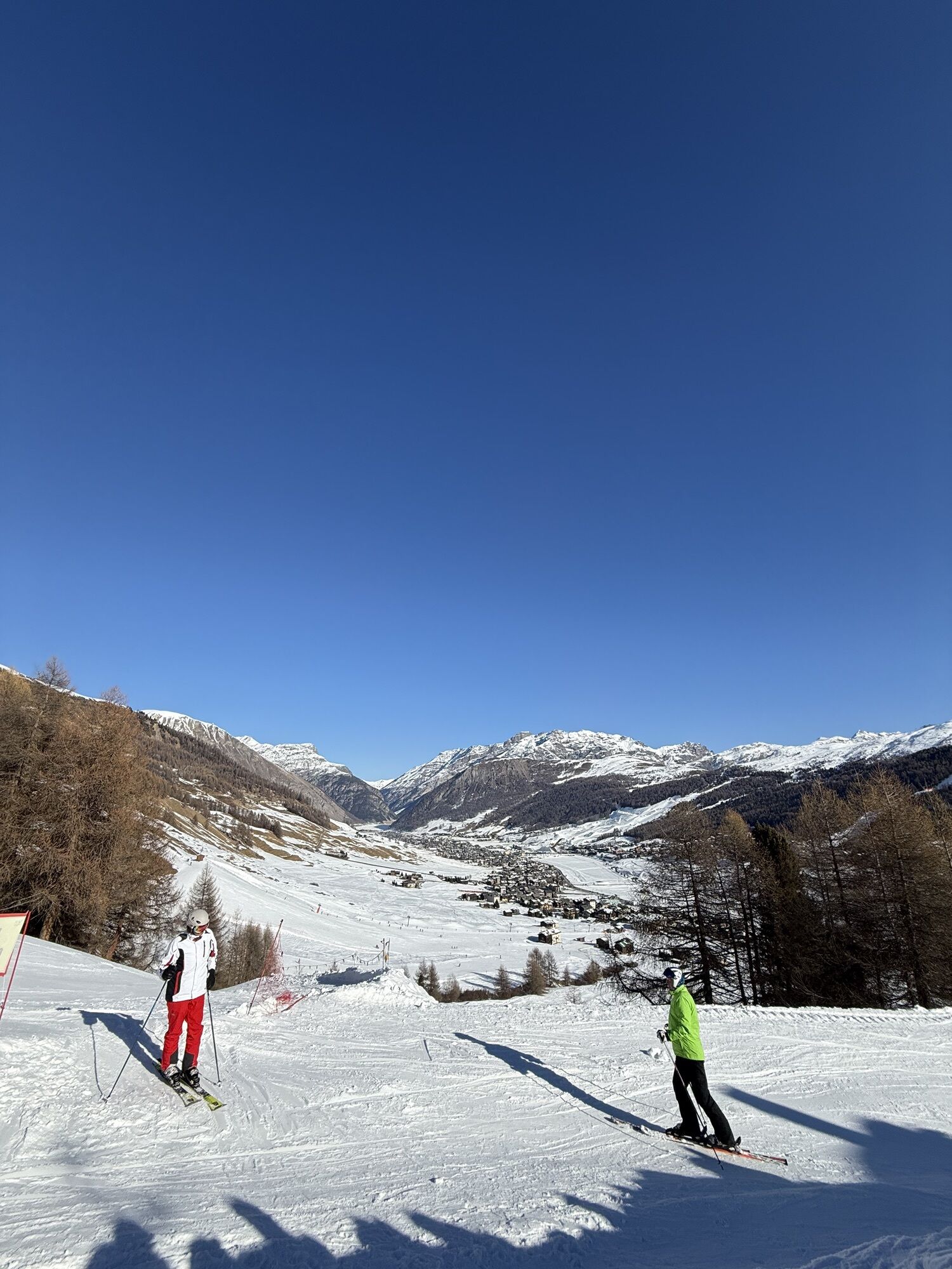
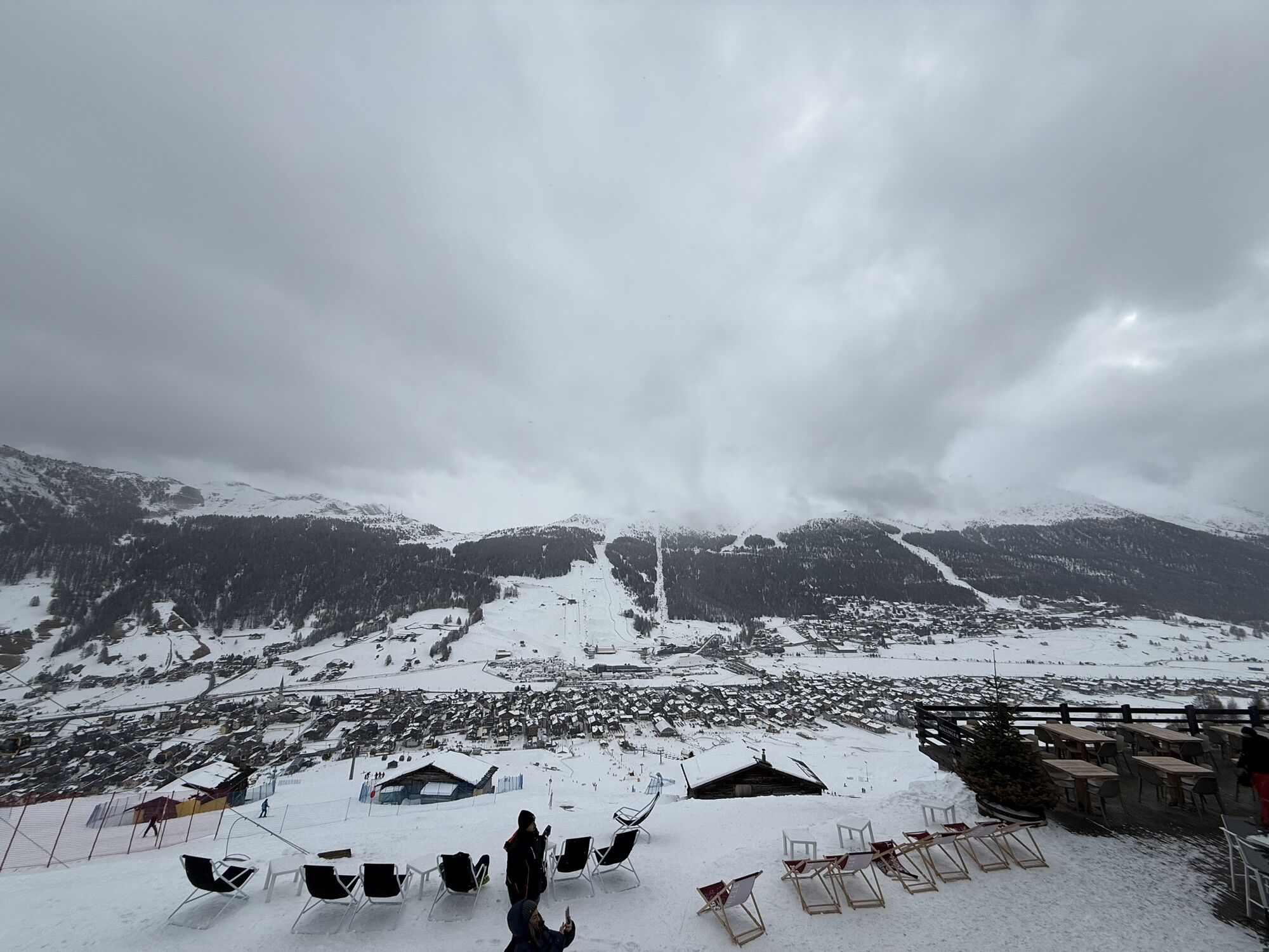
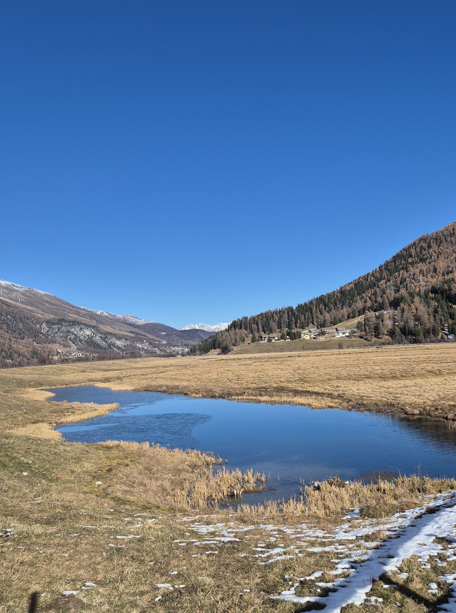
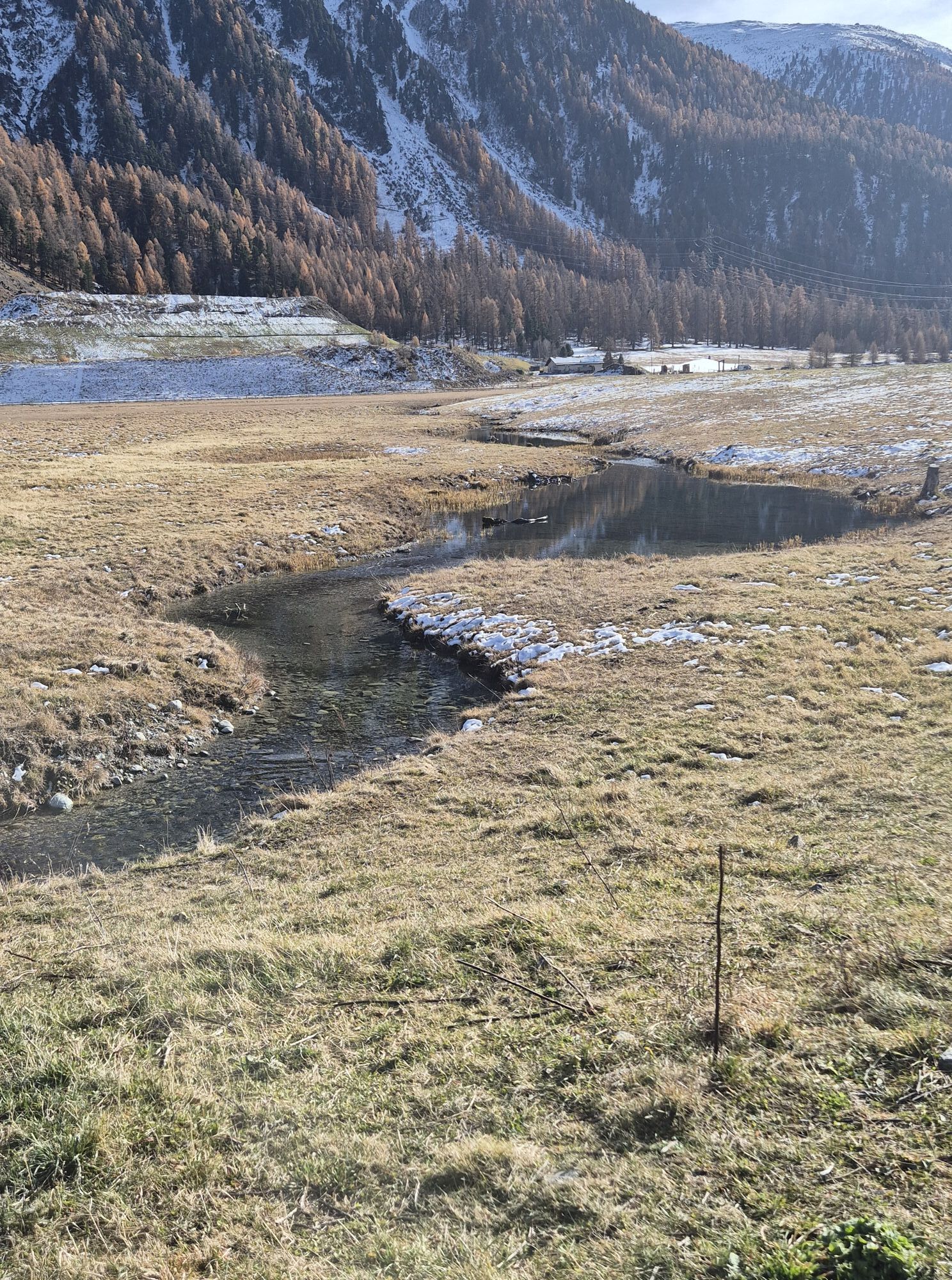
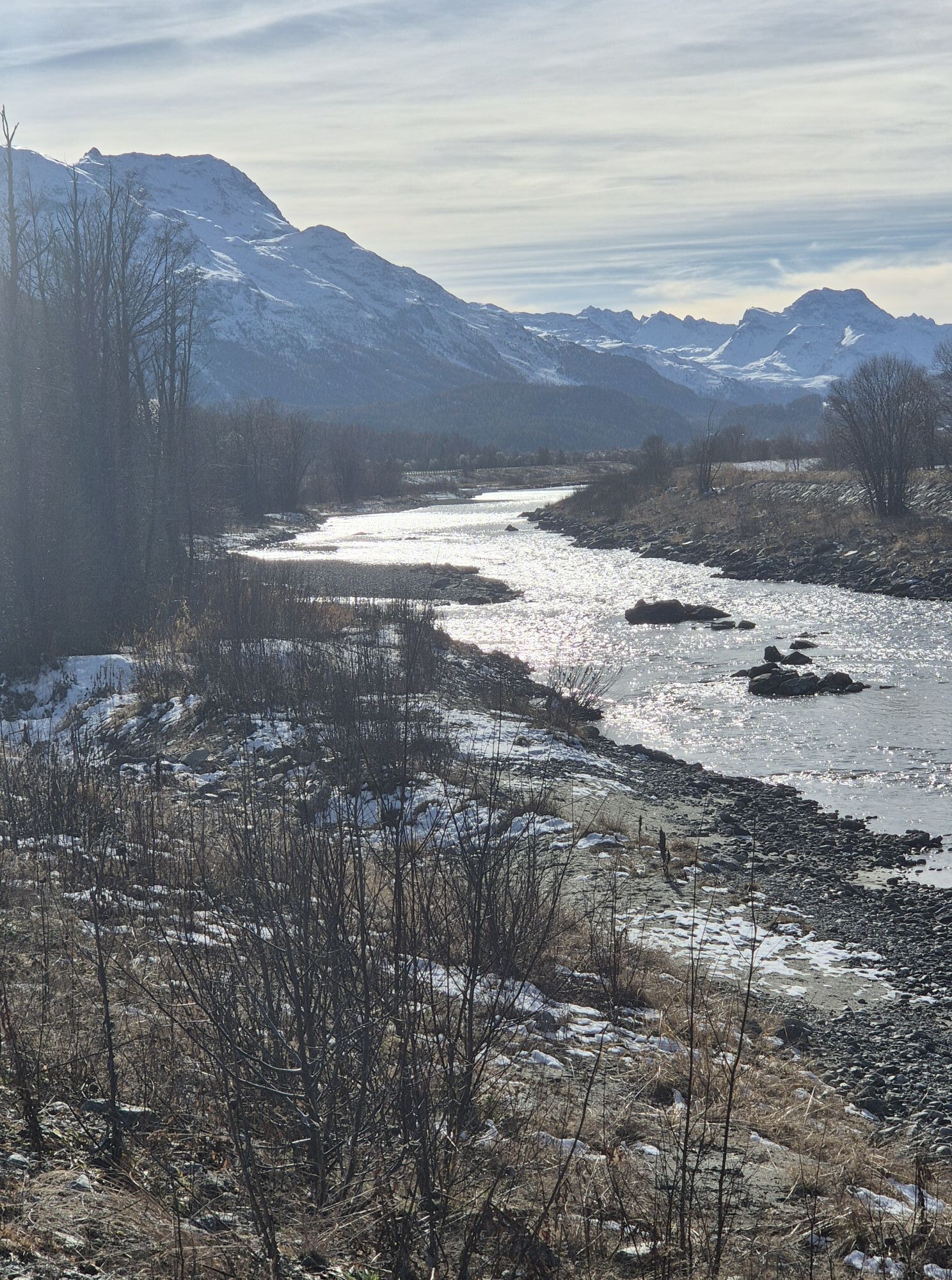
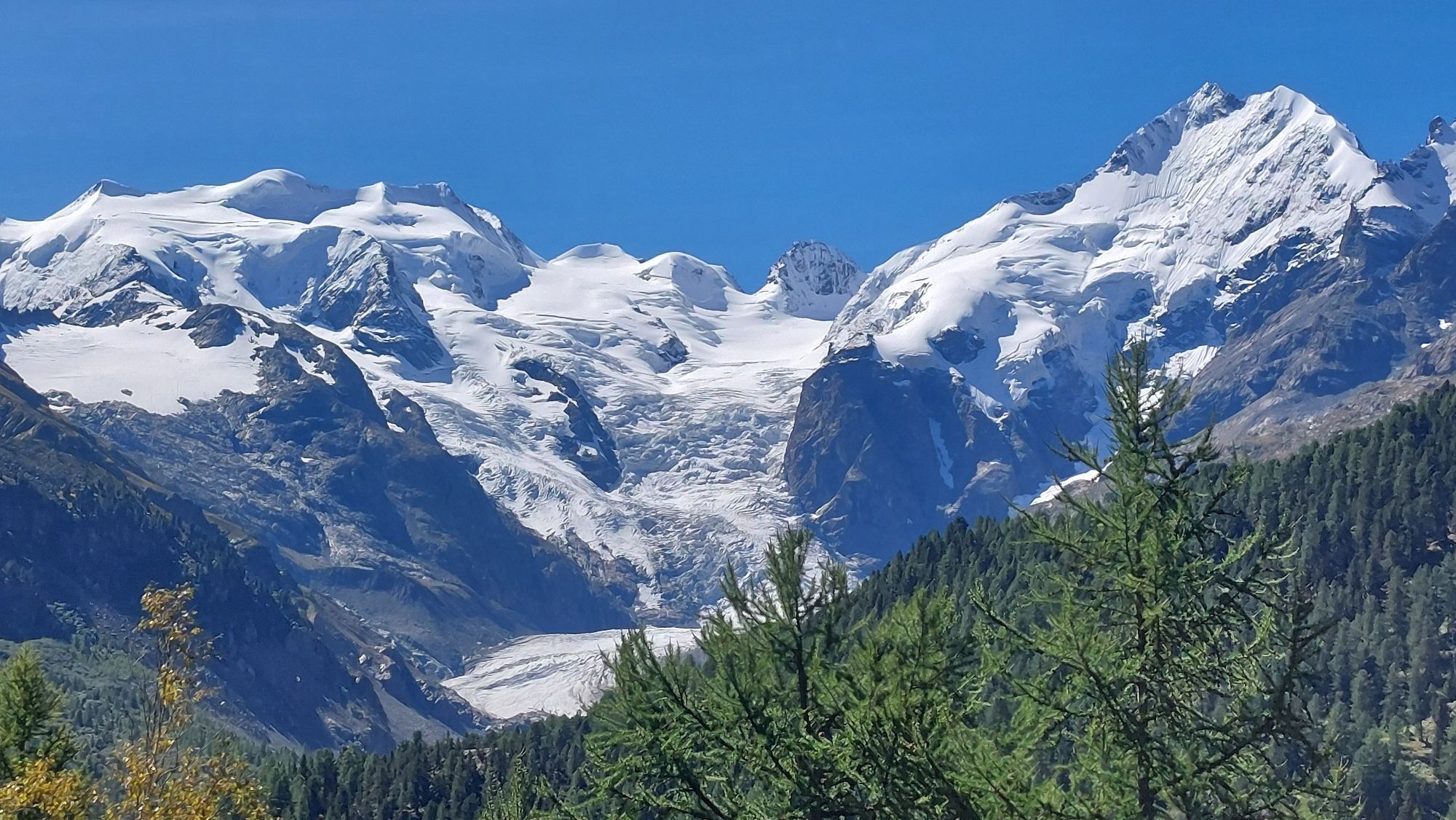
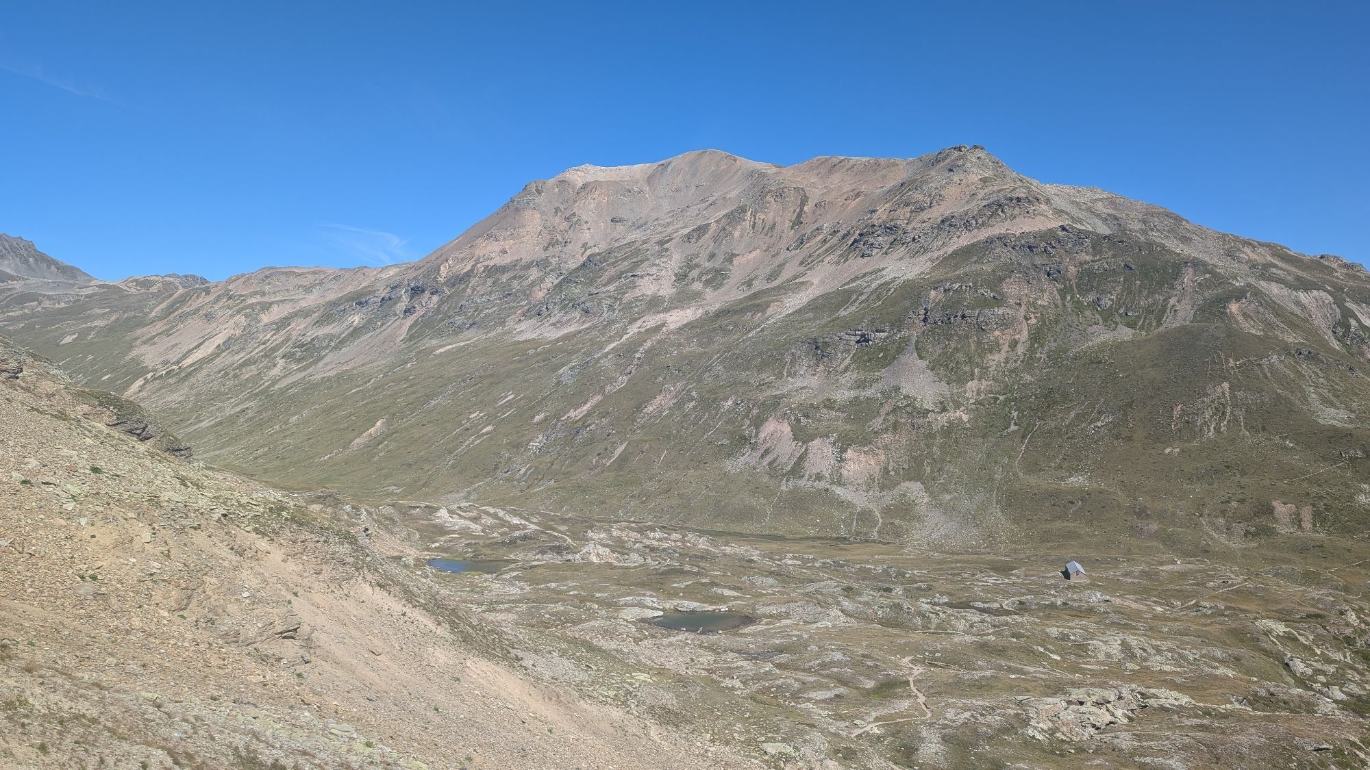
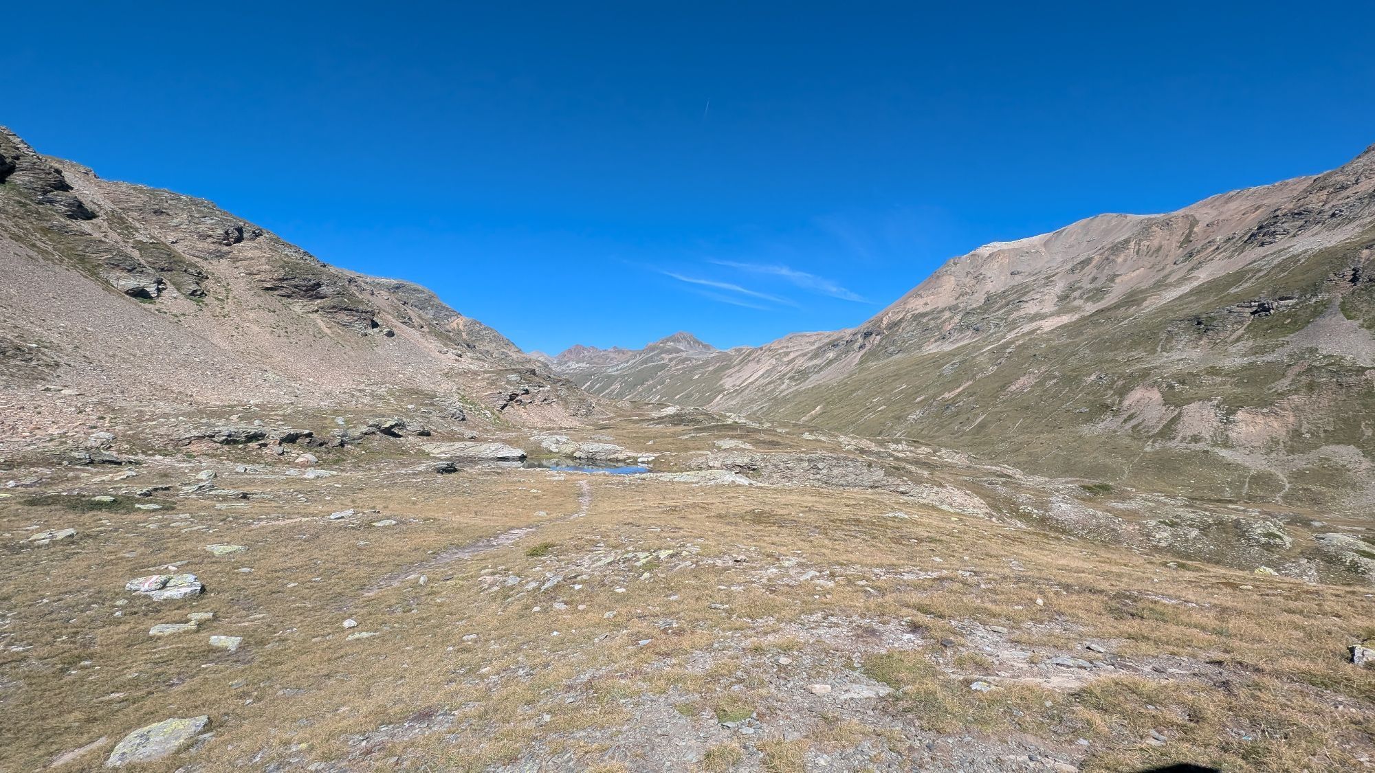
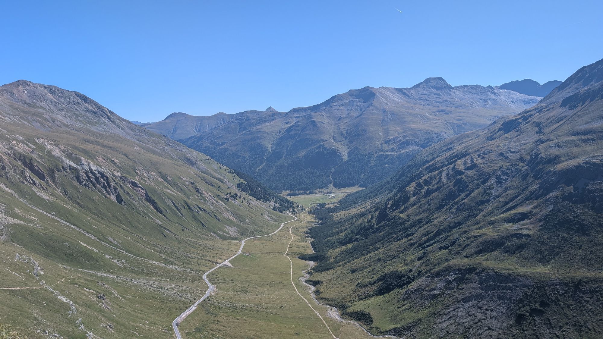
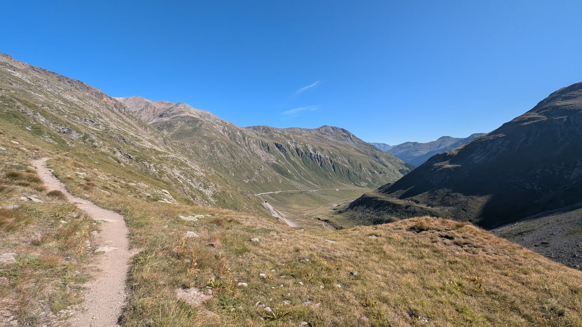
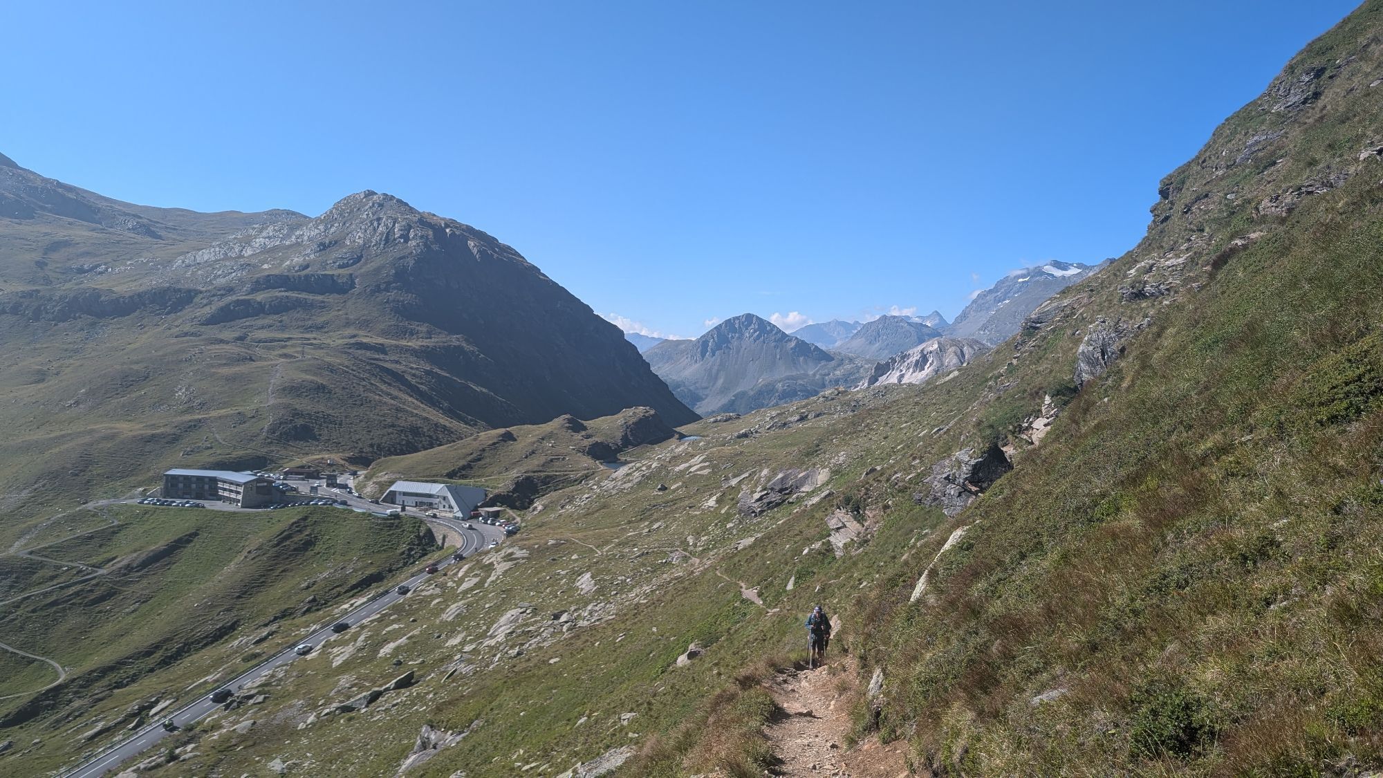
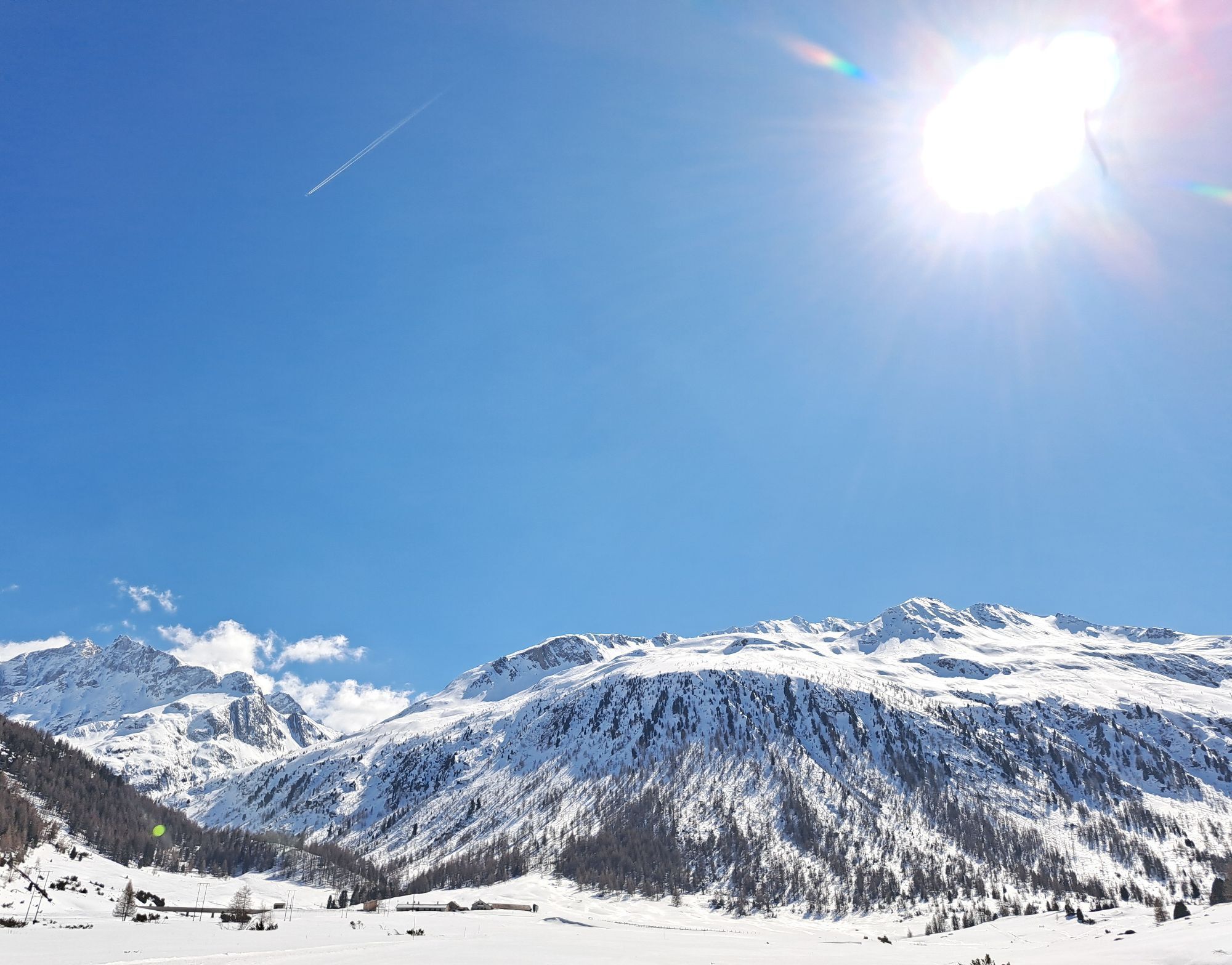
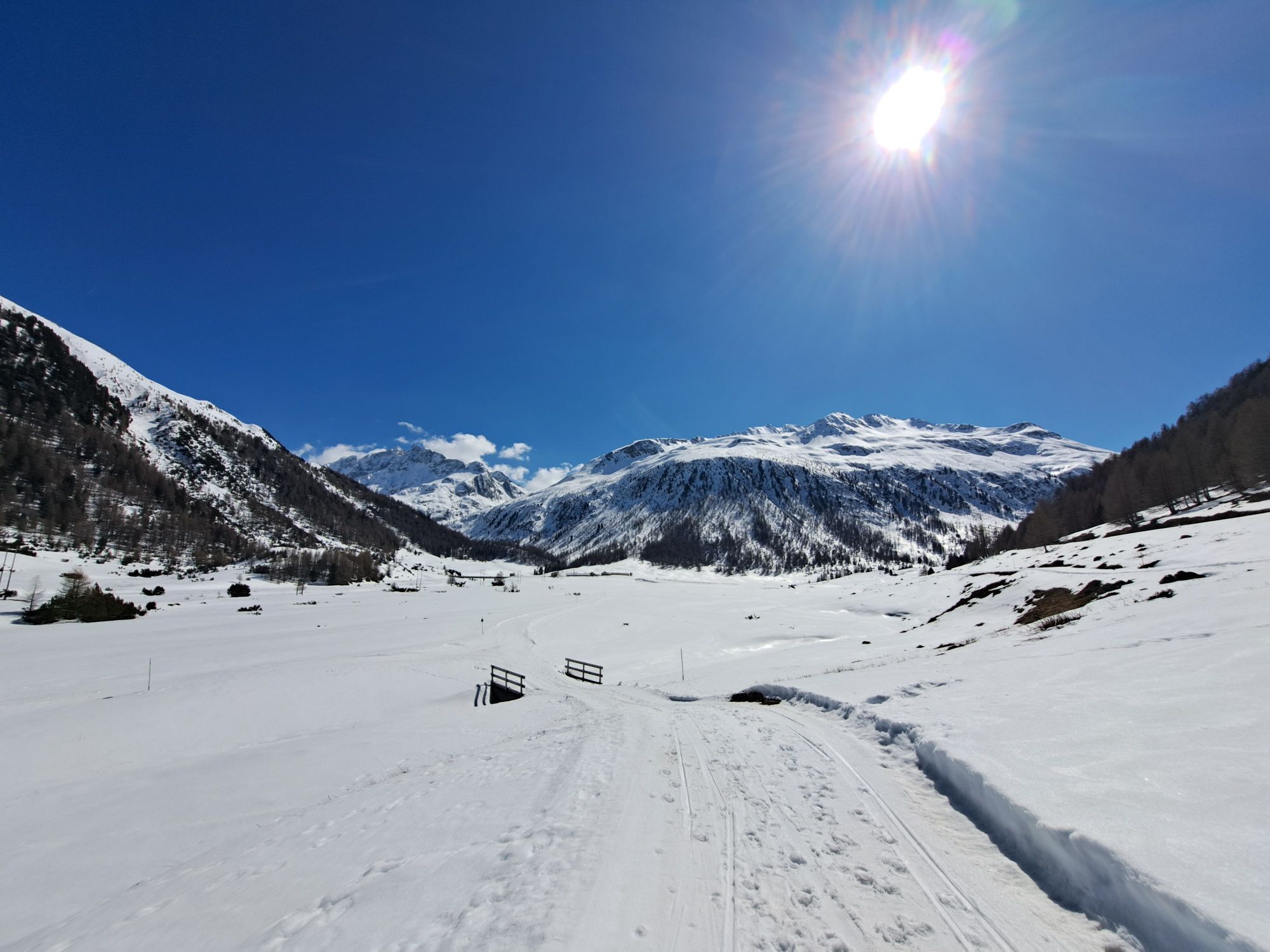
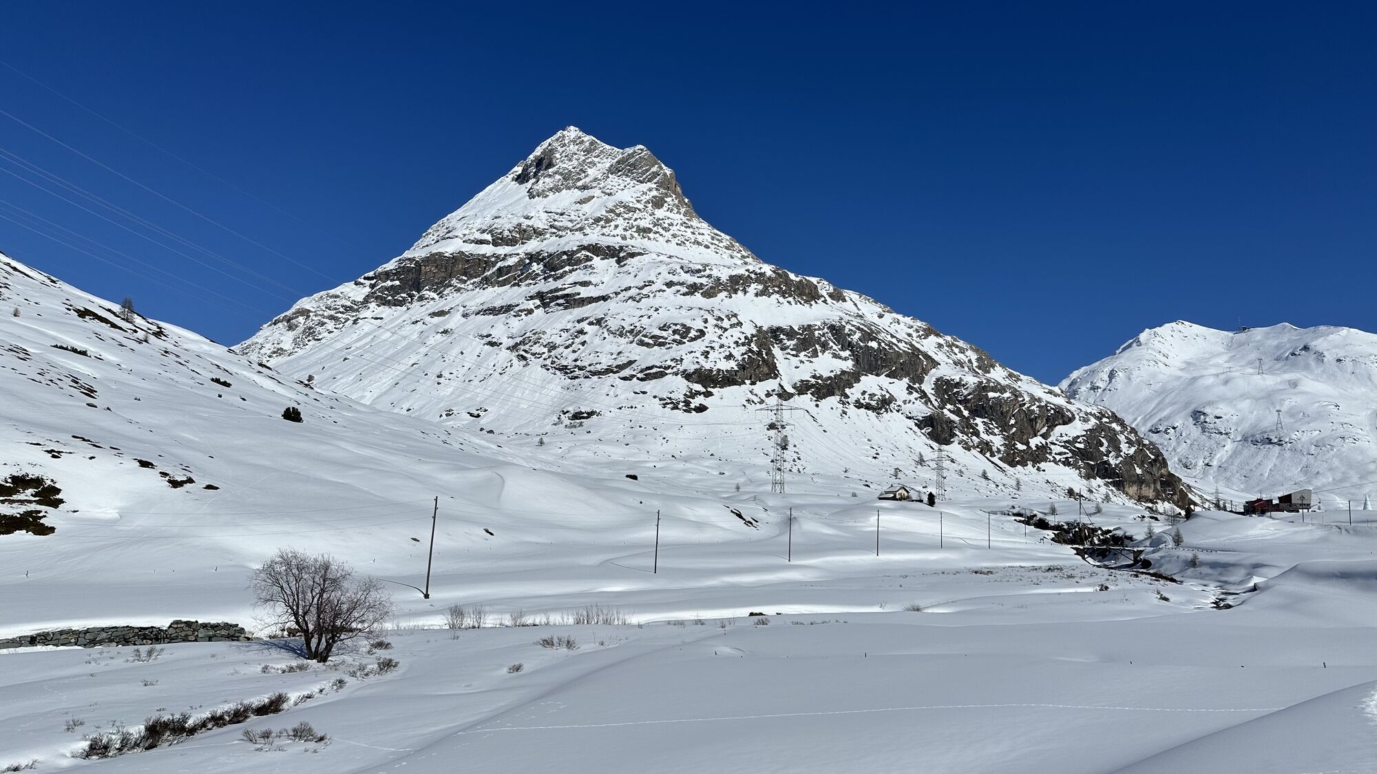

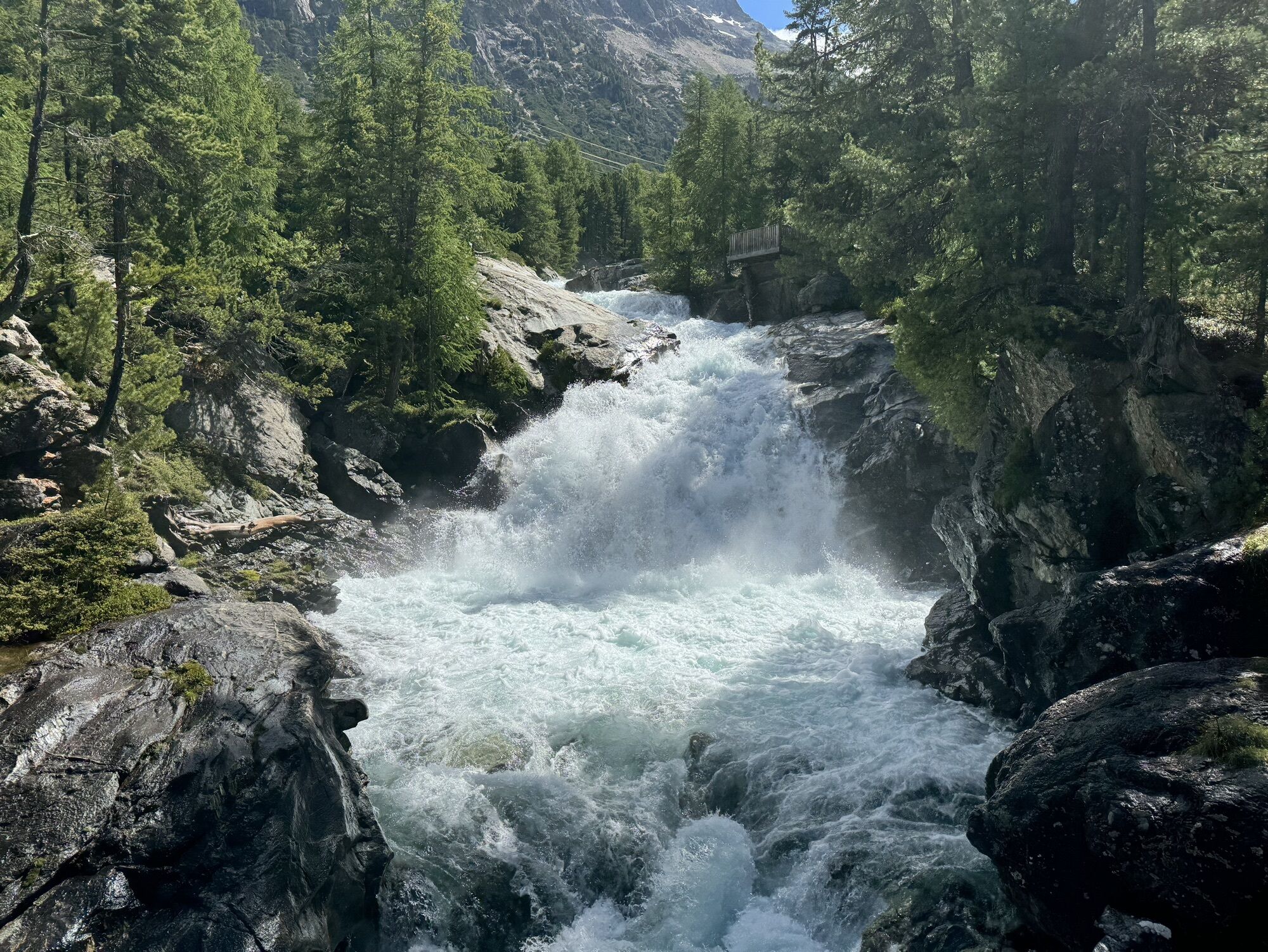
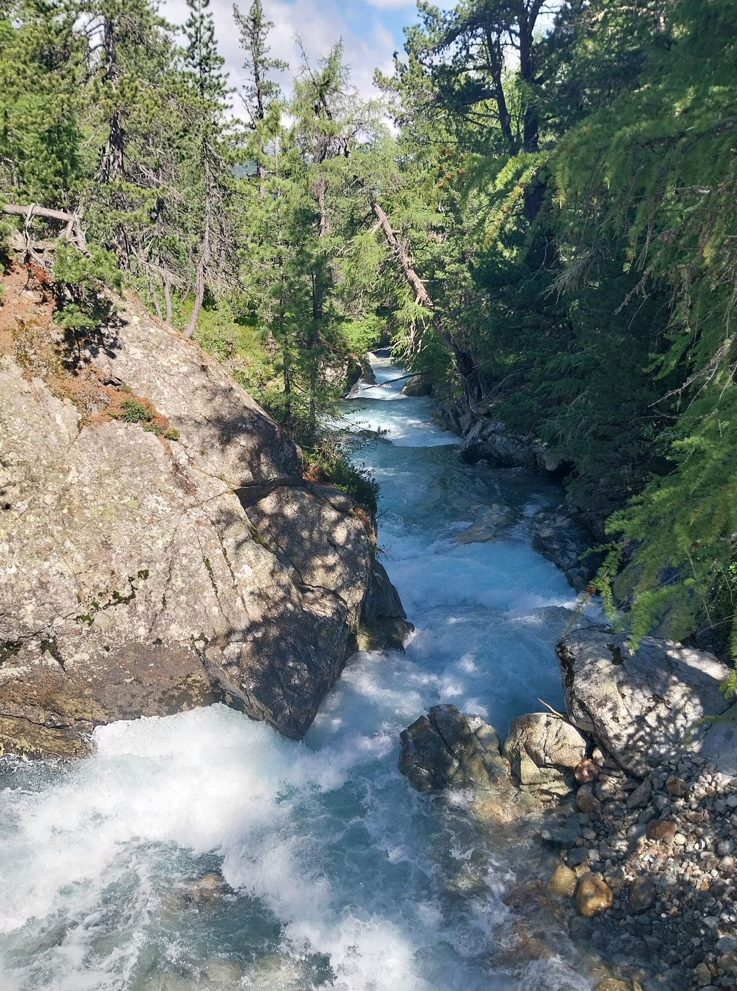
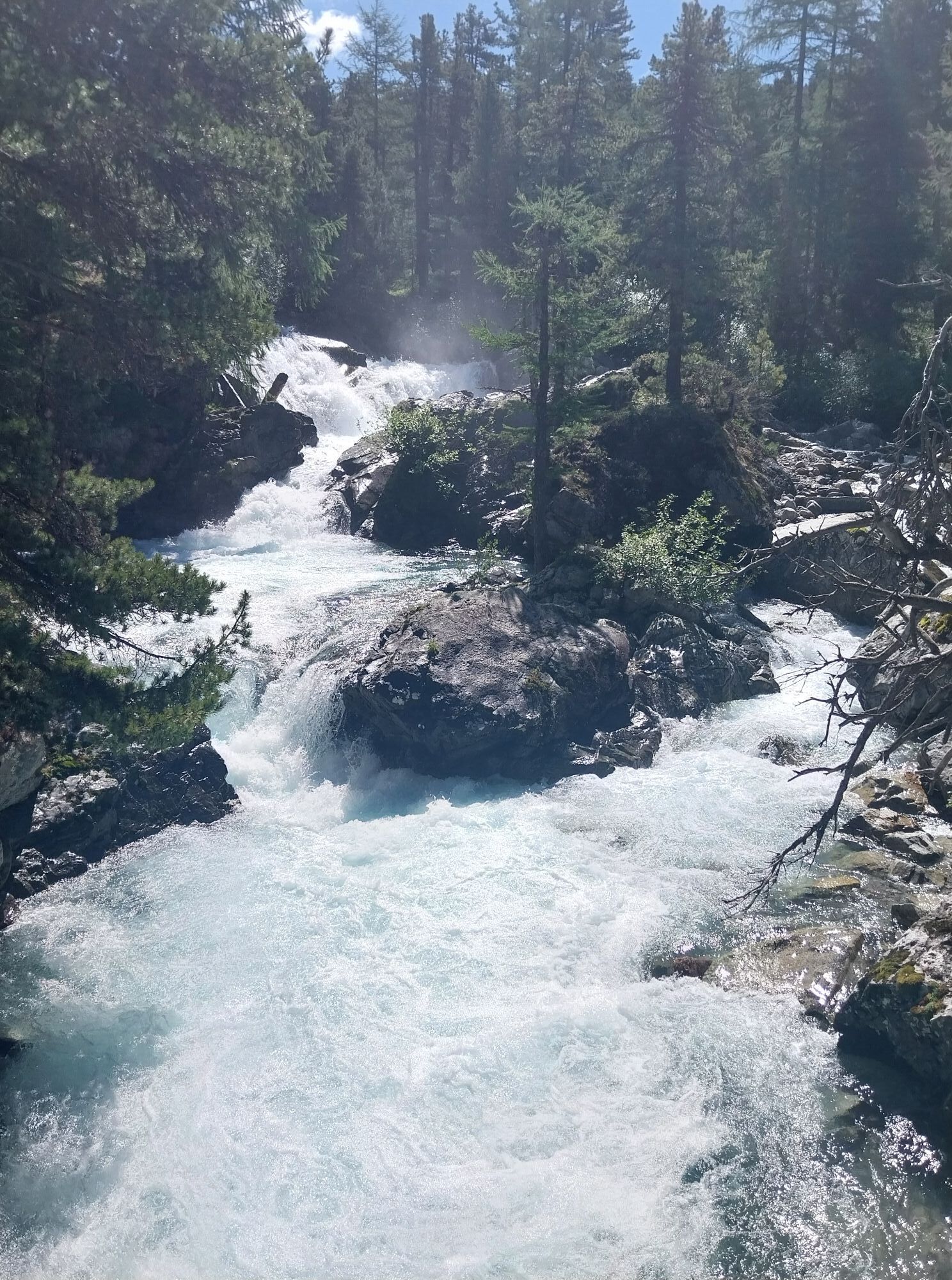
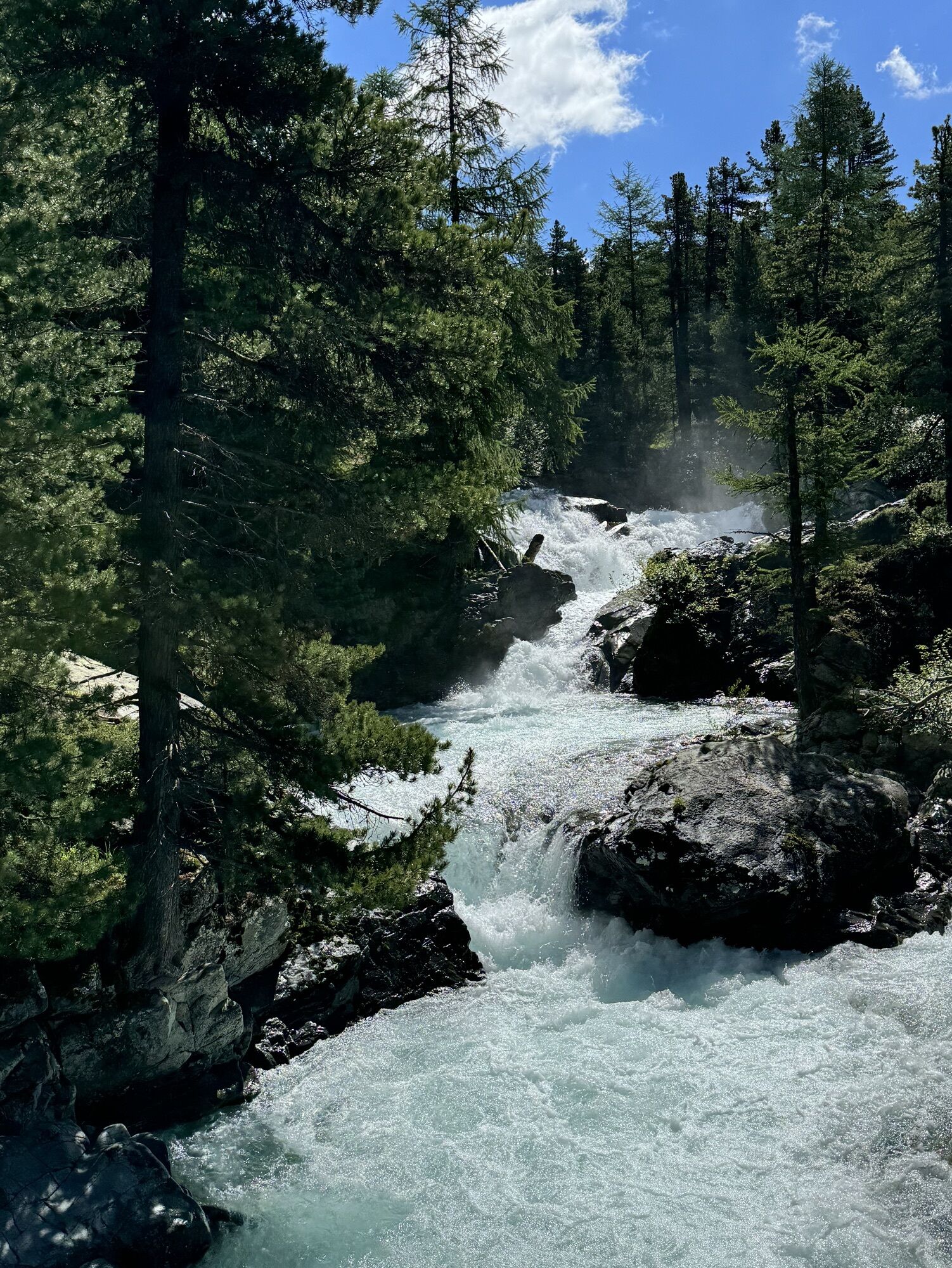
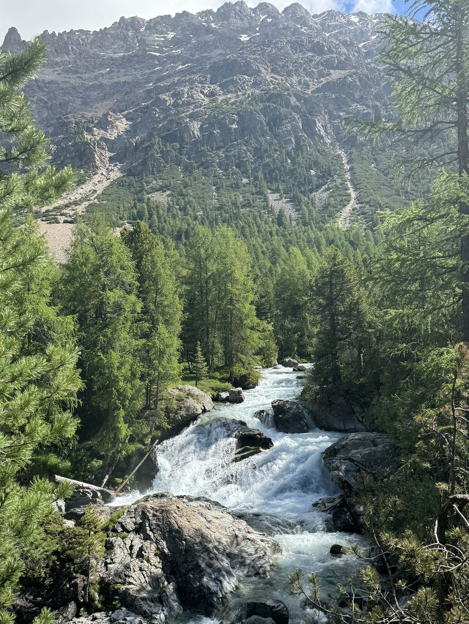
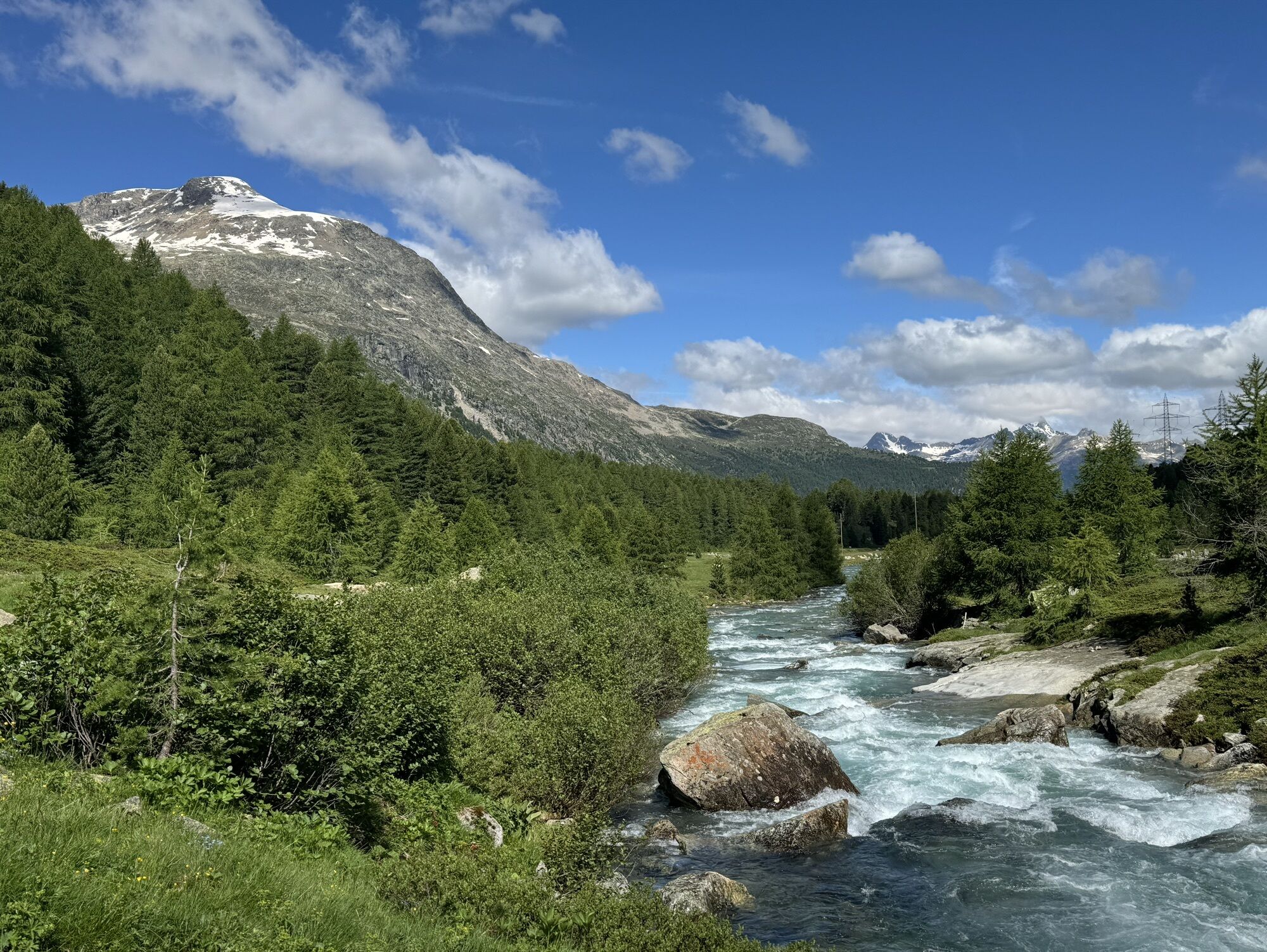
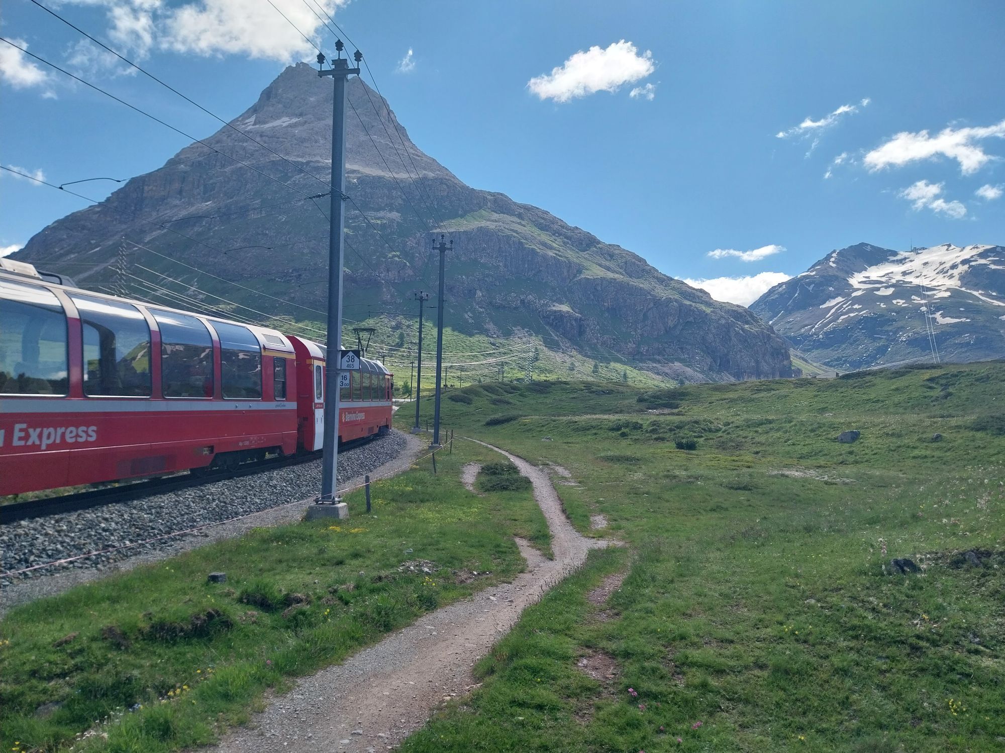
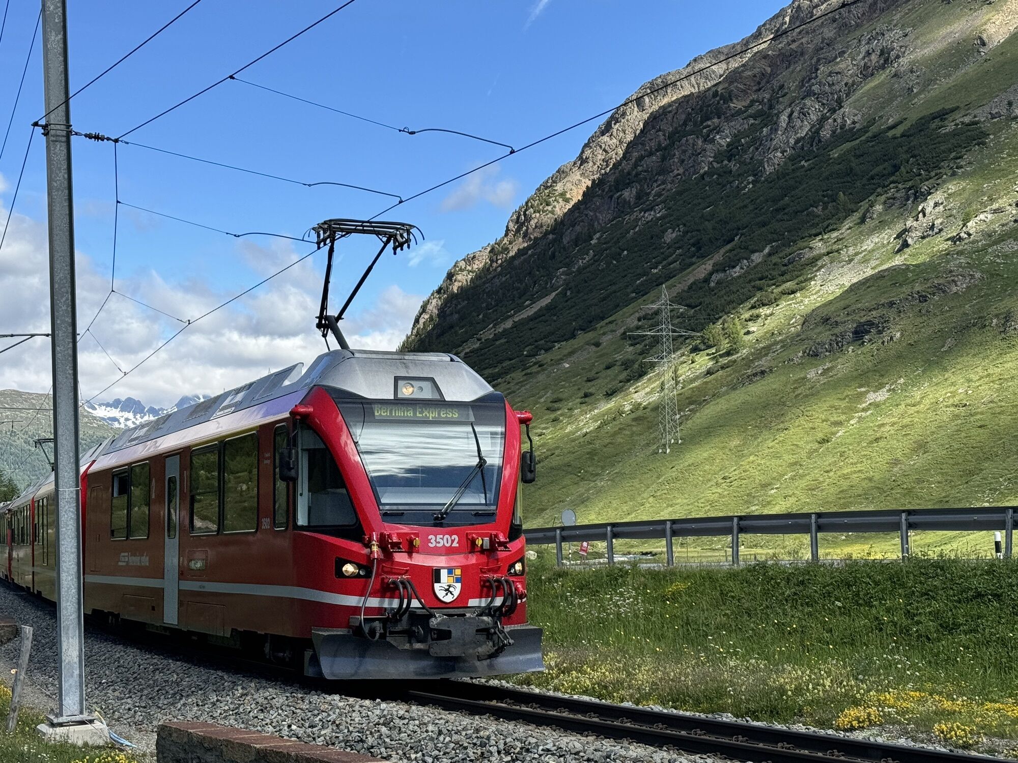
The route starts at Pontresina station and follows the mountain bike path until just past Surovas station. Left over the bridge and across the road, the trail leads on the other side of the valley towards...
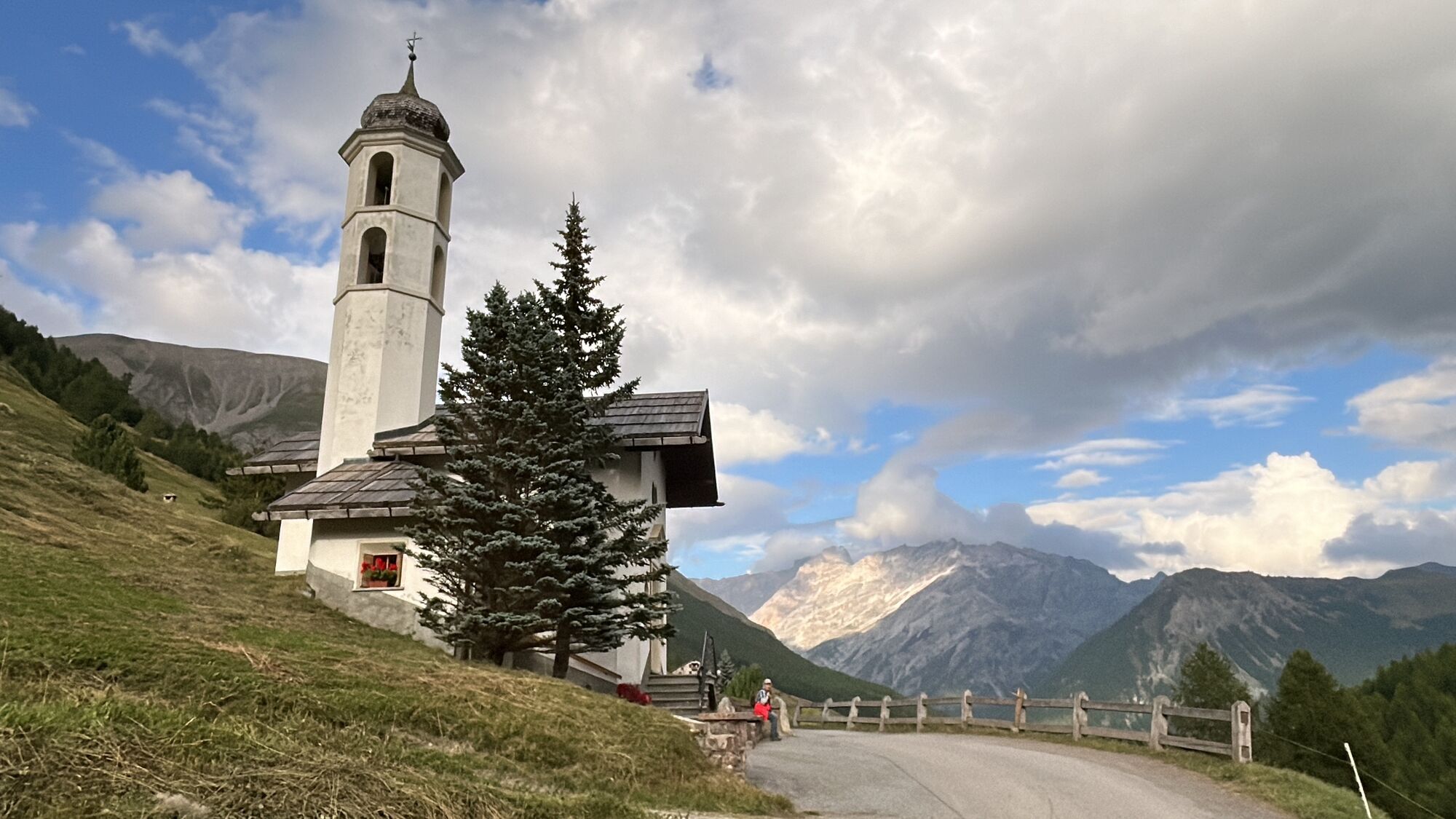
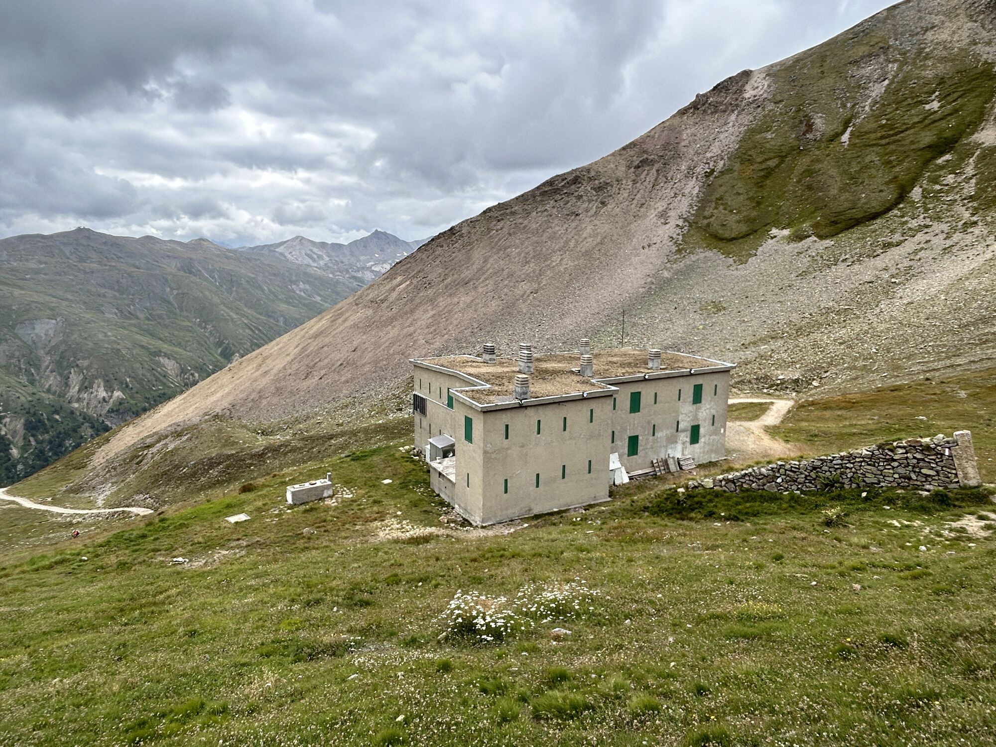
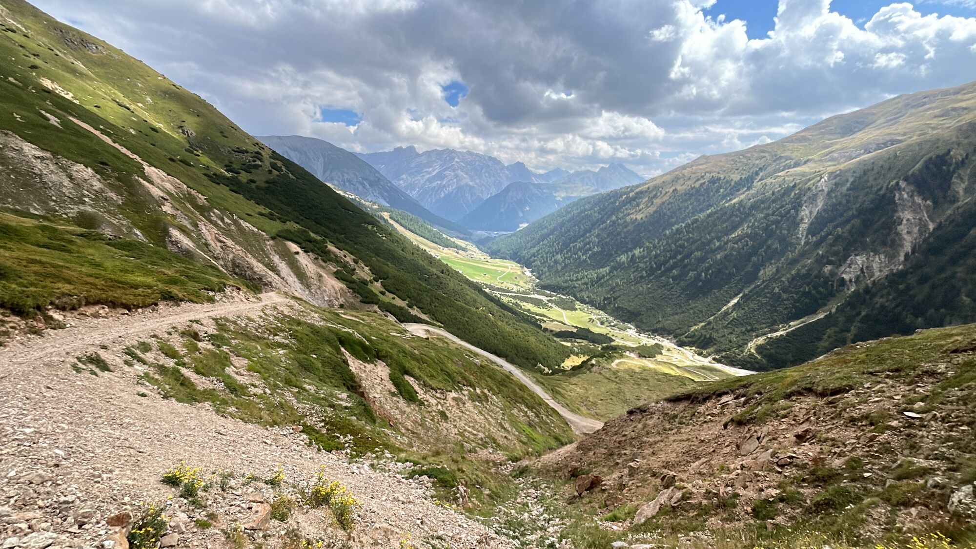
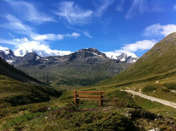
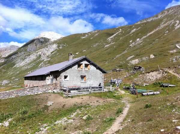
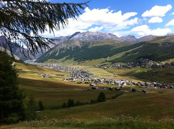
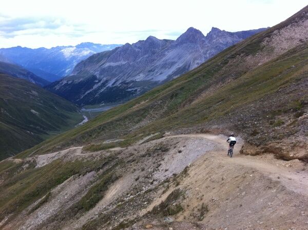
The route starts at Pontresina station and follows the mountain bike path until just past Surovas station. Left over the bridge and across the road, the trail leads on the other side of the valley towards Bernina Pass. At Bernina Suot station, an alpine road branches off into Val da Fain. The road gently climbs up the valley to the Alp La Stretta, after which it is just a single trail up to the pass. The descent down to the Livigno pass road requires skill (steep, narrow hiking trail). Continuing out of the valley, Livigno is reached. The trail passes above the village and merges into Valle di Federia. A gravel road zigzags broadly uphill to Rifugio Cassana. Shortly afterwards, Pass Chaschauna is reached. The following descent also requires experience. At Alp Chaschauna, the trail merges into the alpine road leading to S-chanf. At Vaüglia Suot, you cross the bridge and always stay in the forest, passing the villages S-chanf and Zuoz until Chamues-ch is reached. Following the signposted InnRadweg, past Lake Gravatscha, to Punt Muragl, and then back to the starting point at Pontresina.
Further information
Engadin St. Moritz Tourism AG
Via Maistra 1
CH-7500 St. Moritz
Phone: +41 81 830 00 01
E-mail: allegra@engadin.ch
Website: www.engadin.ch

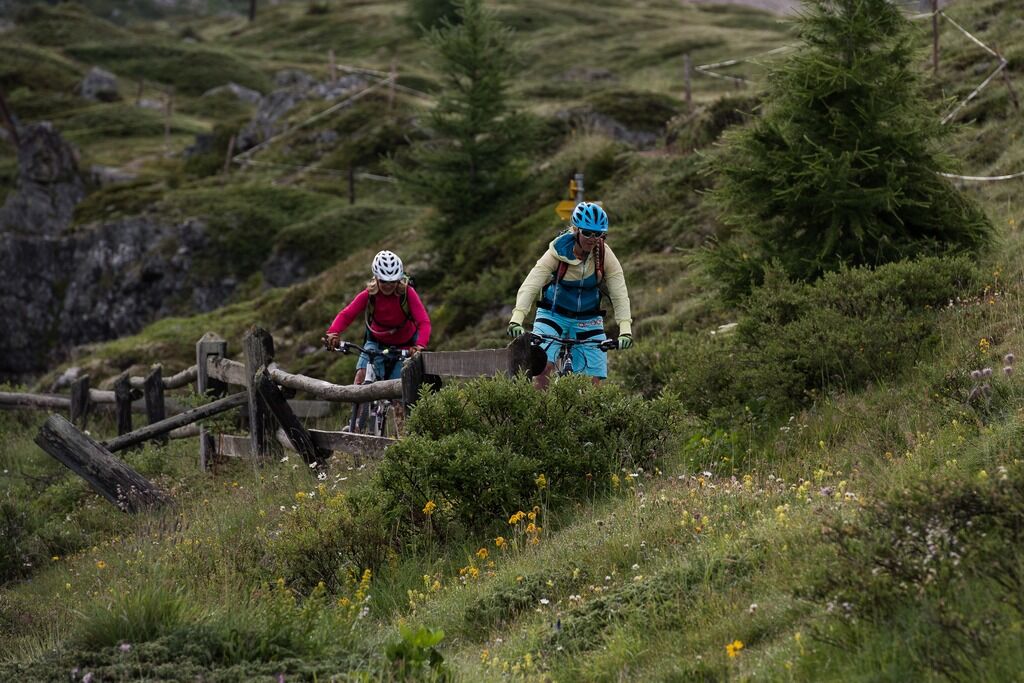
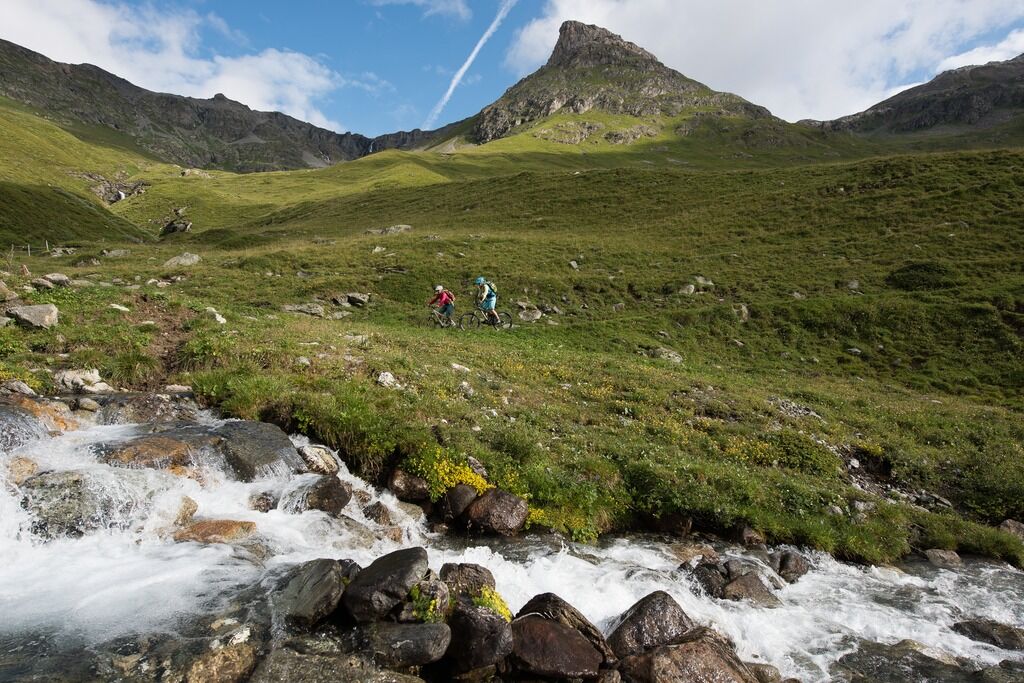
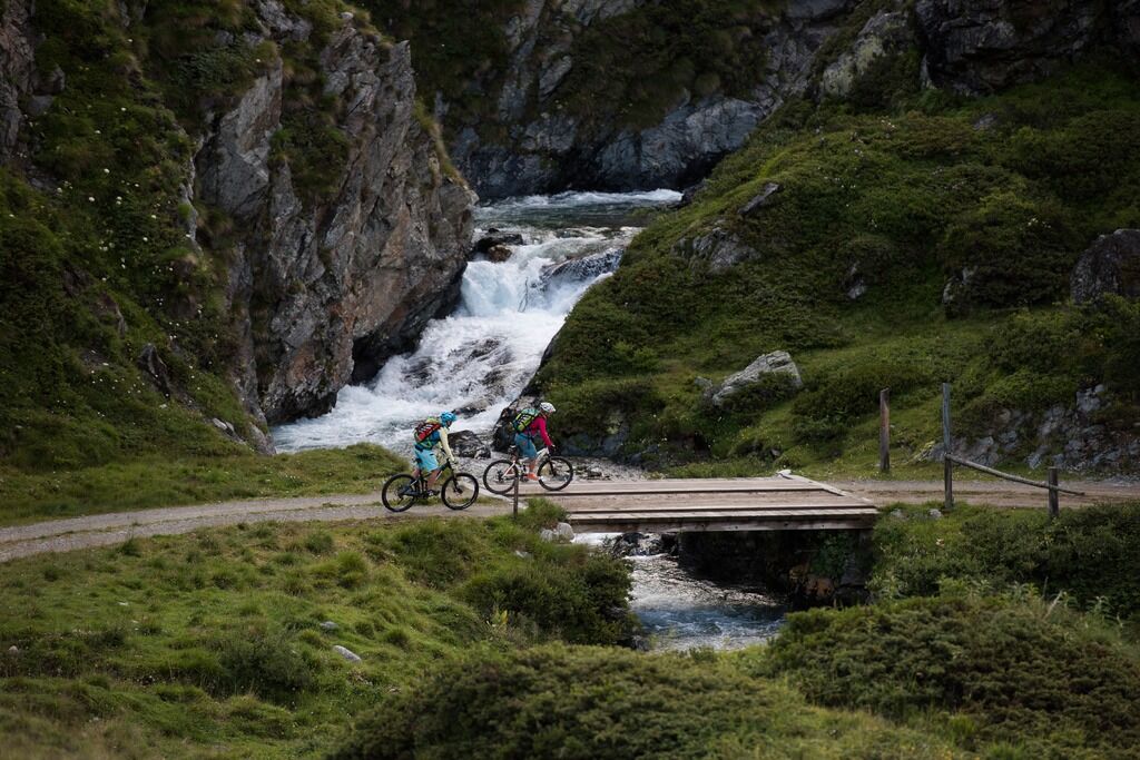
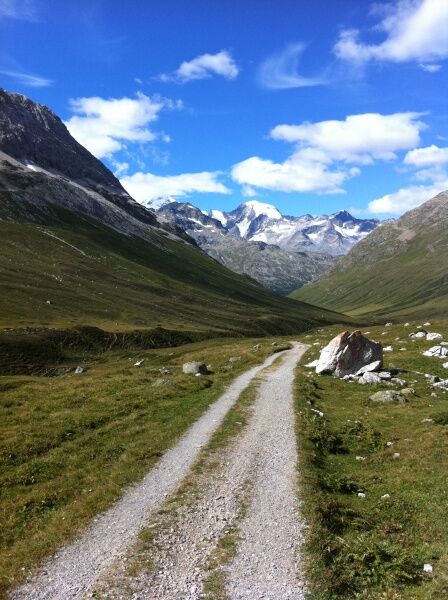
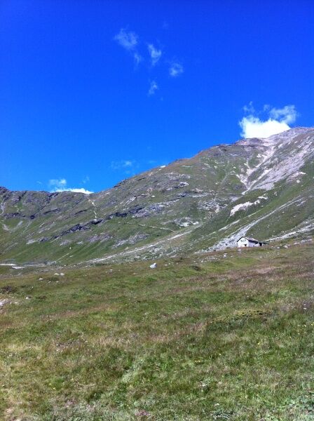
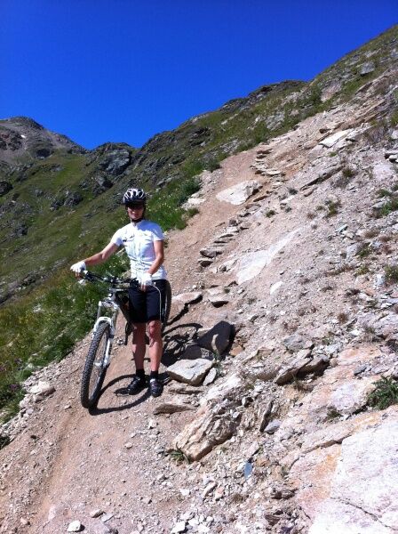
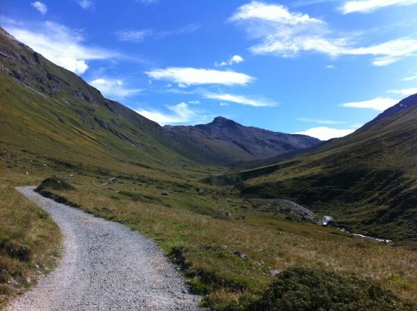

Pontresina - Bernina Suot - Val da Fain - La Stretta - Cosolari del Pelo - Chiesa di Federia - Passo Chachauna - S-chanf - Zuoz - Chamues-ch - Punt Muragl - Pontresina
The descent from La Stretta to Forcola di Livigno is suspended and only recommended for very skilled bikers. There is no alternative!
S3
Don't forget your passport or identity card.
From S-chanf, you can also take the RhB back to Pontresina.
Spletne kamere s turneje
-
Corviglia
-
St. Moritz / Samedan - Muottas Muragl
-
Camping Morteratsch
-
Mottolino
-
Monte Della Neve
-
Samedo - Engadin Golf
-
St. Moritz / Samedan - Muottas Muragl
-
St. Moritz / Samedan - Muottas Muragl
-
St. Moritz / Samedan - Muottas Muragl
-
St. Moritz / Samedan - Muottas Muragl
-
Berninapass
-
Corviglia
-
Corviglia
-
Corviglia
-
Corviglia
-
Corviglia
-
Corviglia
-
Corviglia
-
Livigno - Mottolino
-
Mottolino - Bike Park
-
Livigno Ski School Area
-
Diavolezza Bergstation
-
Diavolezza Bergstation
-
Diavolezza Bergstation
-
Diavolezza Bergstation
-
Diavolezza Bergstation
-
Diavolezza Bergstation
-
Diavolezza Bergstation
-
Diavolezza Bergstation
-
Celerina - Cresta Palace
-
Livigno
-
Livigno - Crap
-
Passo del Foscagno
-
Zuoz
-
Celerina - Skiwiese Provuler
-
La Punt - Wasserreservoir
-
La Punt - Wasserreservoir
-
La Punt - Wasserreservoir
-
La Punt - Wasserreservoir
-
Samedan - Engadin Airport
Pridobite vpogled
Vedno v živo na mestu z več kot 9.500 spletnimi kamerami. bergfex Kot uporabnik Pro si lahko zdaj ogledate ustrezne spletne kamere za številne izlete v aplikaciji izleti iz. Tako si lahko neposredno ogledate trenutne razmere.
Priljubljeni izleti v okolici
-
5.0
Morteratsch station - Boval Hut
srednjaPohodništvo 10.5 km -
4.7
Diavolezza - Munt Pers
svetlobaPohodništvo 3.82 km -
4.9
Circular hike Val Trupchun in the Swiss National Park
srednjaPohodništvo 13.8 km -
4.7
Panoramic route Muottas Muragl
svetlobaPohodništvo 6.75 km -
5.0
Muottas Muragl - Segantini hut - Pontresina
srednjaPohodništvo 6.46 km -
4.5
Pontresina - Val Roseg - Pontresina
svetlobaPohodništvo 13.8 km -
4.7
SAC Tschierva
svetlobaPohodništvo 24.7 km -
4.8
Around Lake St. Moritz
svetlobaPohodništvo 4.32 km -
4.7
Morteratsch Glacier route
svetlobaTematska pot 2.88 km -
4.3
Piz Palü (3.905m) – Hochtour
srednjaVisokogorska tura 13.4 km
Pohodništvo in sledenje


Ne zamudite ponudb in navdiha za naslednje počitnice
Vaš e-poštni naslov je bil dodan na poštni seznam.





