


Dörferweg Schanfigg
The Dörferweg Schanfigg connects the villages of the Schanfigg valley from Chur to Arosa on both sides of the valley for hikers. On this 53 km long (mountain) hiking trail, traditional and authentic village...
The Dörferweg Schanfigg connects the villages of the Schanfigg valley from Chur to Arosa on both sides of the valley for hikers. On this 53 km long (mountain) hiking trail, traditional and authentic village culture comes to life.
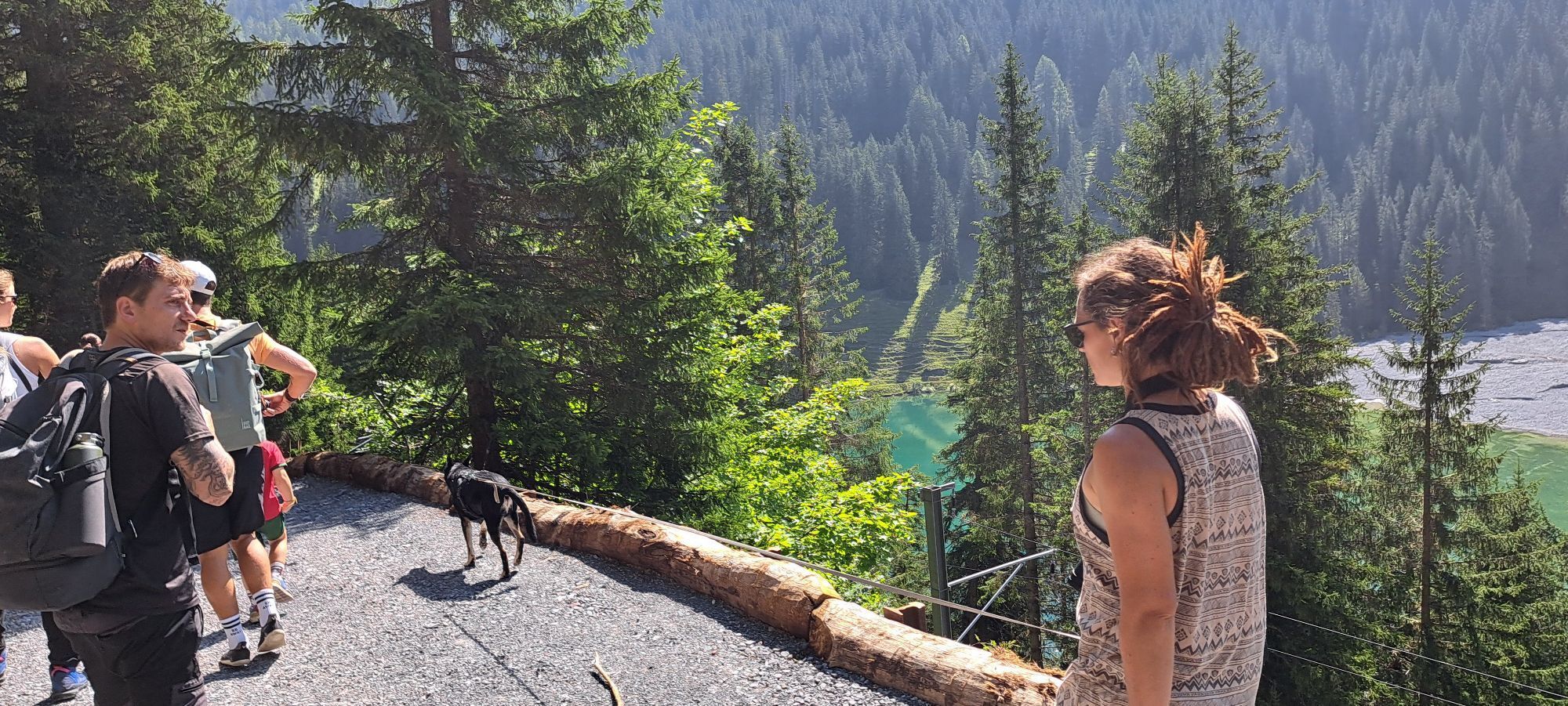
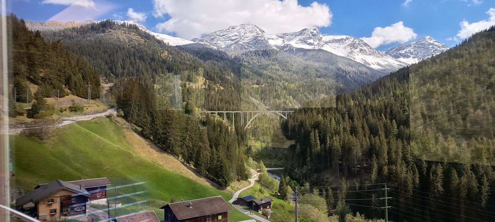
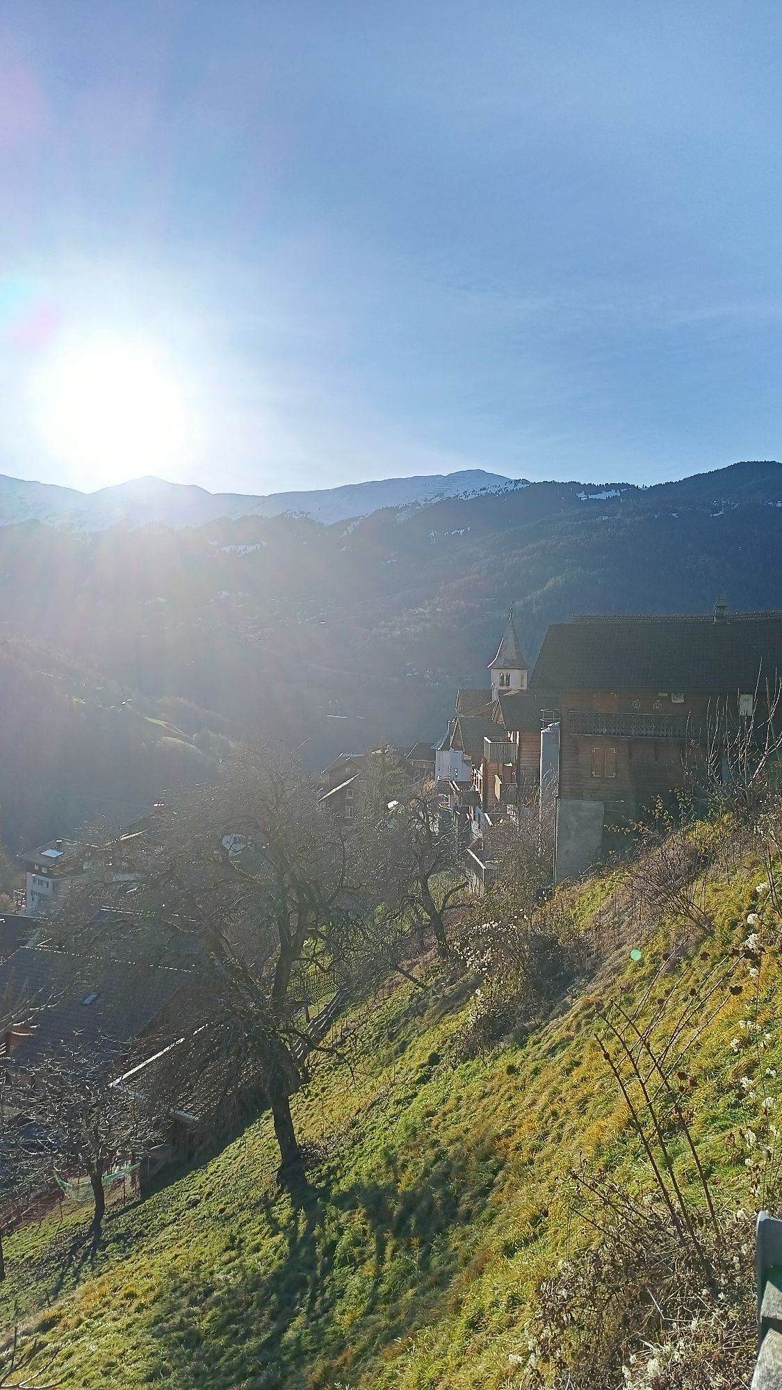
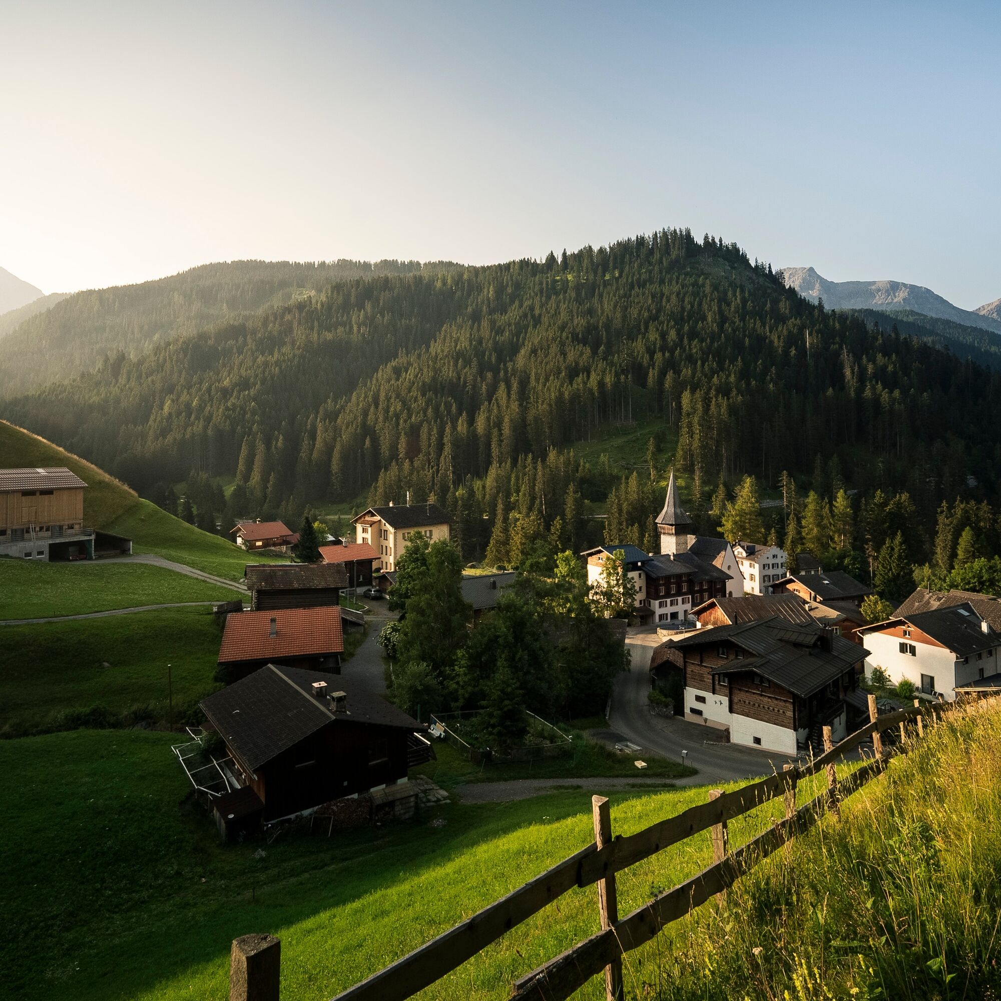
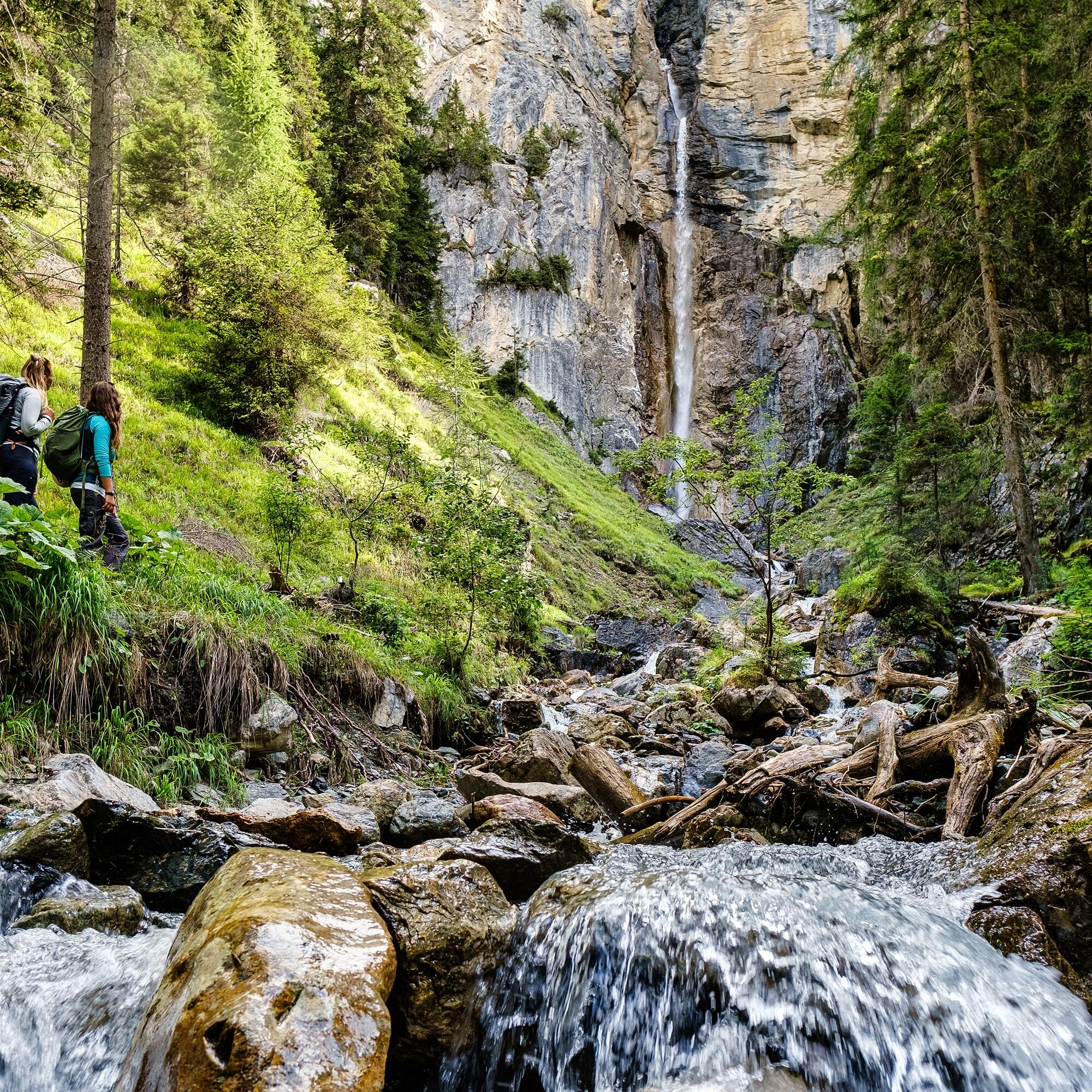
The Dörferweg Schanfigg leads through intact and varied landscapes with magnificent views, through meadows and forests, over ravines and past alpine summer farms and last but not least through villages with their characteristic wooden frame buildings, farm and village shops, restaurants, and local inns. The alternation between natural and cultural landscapes can be experienced at every step, for example, the magnificent landscape sections at Gründji- & Frauentobel.
The Dörferweg enriches the range of hiking opportunities in Schanfigg. Thanks to the good connection of the villages to public transport, stages can be shortened and various circular hikes can also be planned, e.g., in connection with the Schanfigger Höhenweg.

Arosa - Litzirüti - Langwies - Peist - Fatschél - Pagig - Castiel - Calfreisen - Maladers - Chur - Passugg - Praden - Lüen - Pagig - Molinis - Tschiertschen
Sturdy footwear and weatherproof clothing are recommended.
Constantly observe the weather development.
Pay attention to suitable and complete equipment.
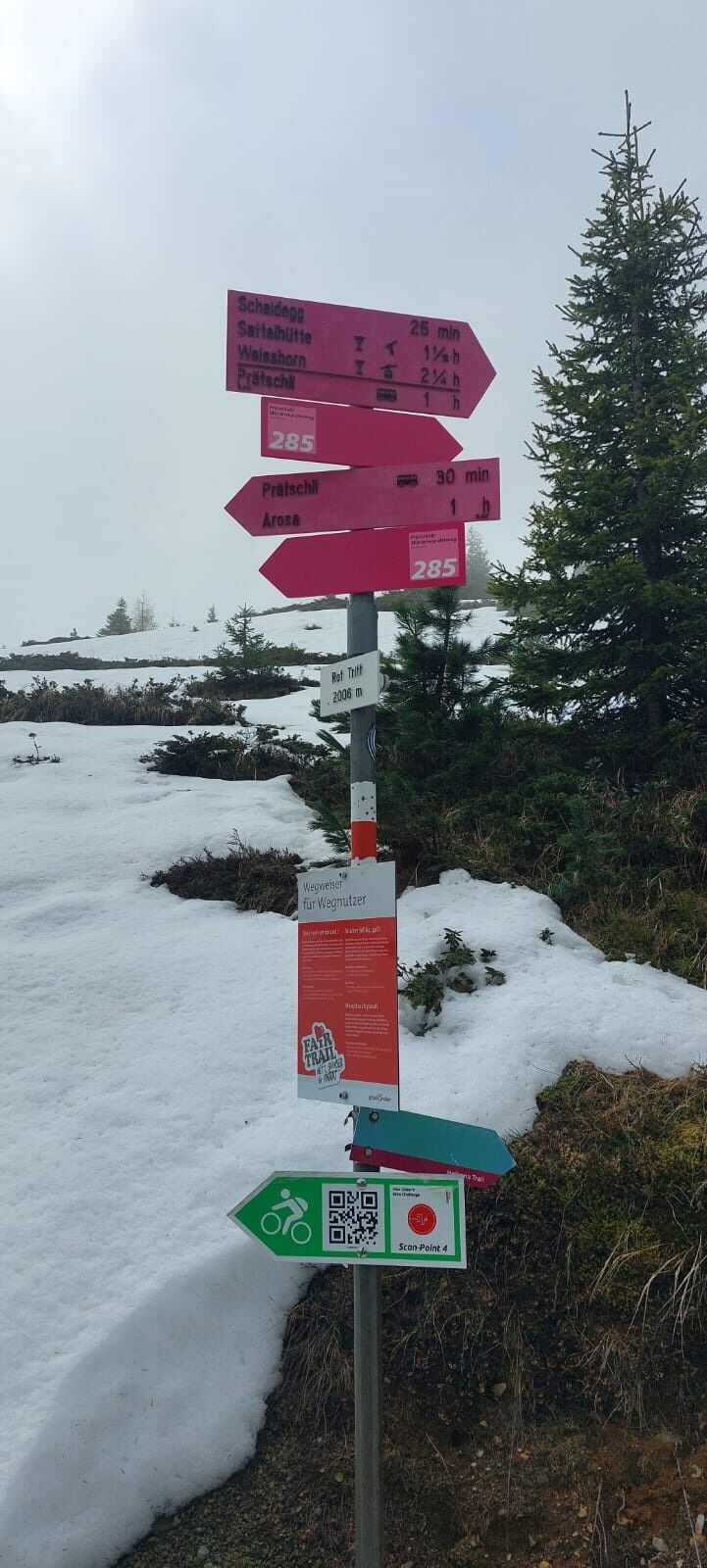
On the stage section Langwies – Peist, good footwear is necessary; additionally, you should be sure-footed and not afraid of heights!
Inform third parties about your route. Check in when you arrive at your destination.
Enjoy hiking with a smile on your face.
By car to Arosa
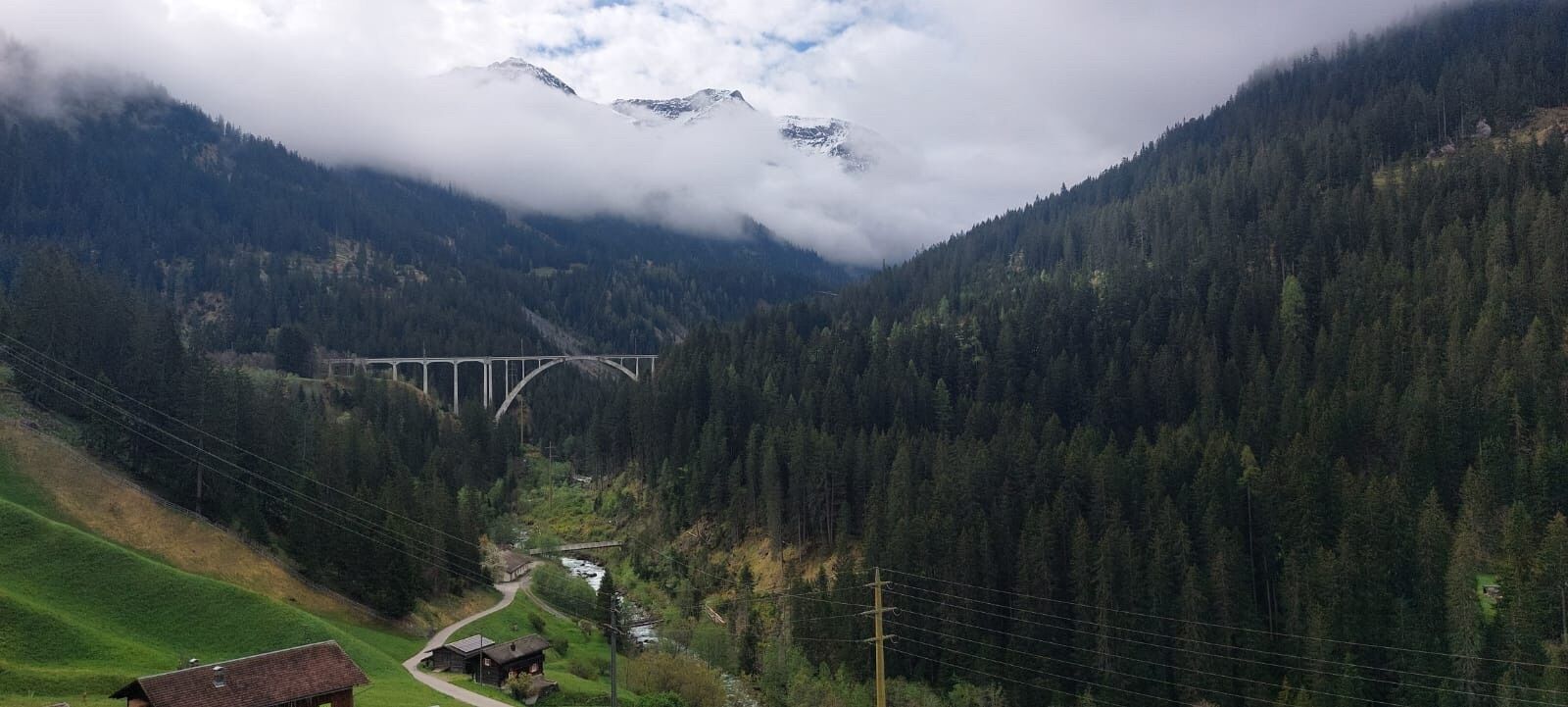
From Chur, it's about 40 minutes uphill on a winding road. The Schanfiggerstrasse winds through the valley and overcomes around 360 curves.
Details on how to get to Arosa: https://arosalenzerheide.swiss/de/Arosa/Aktuell/Wissenswertes/Anreise
Details on how to get to Chur: https://www.chur.graubuenden.ch/de/service/information/anreise
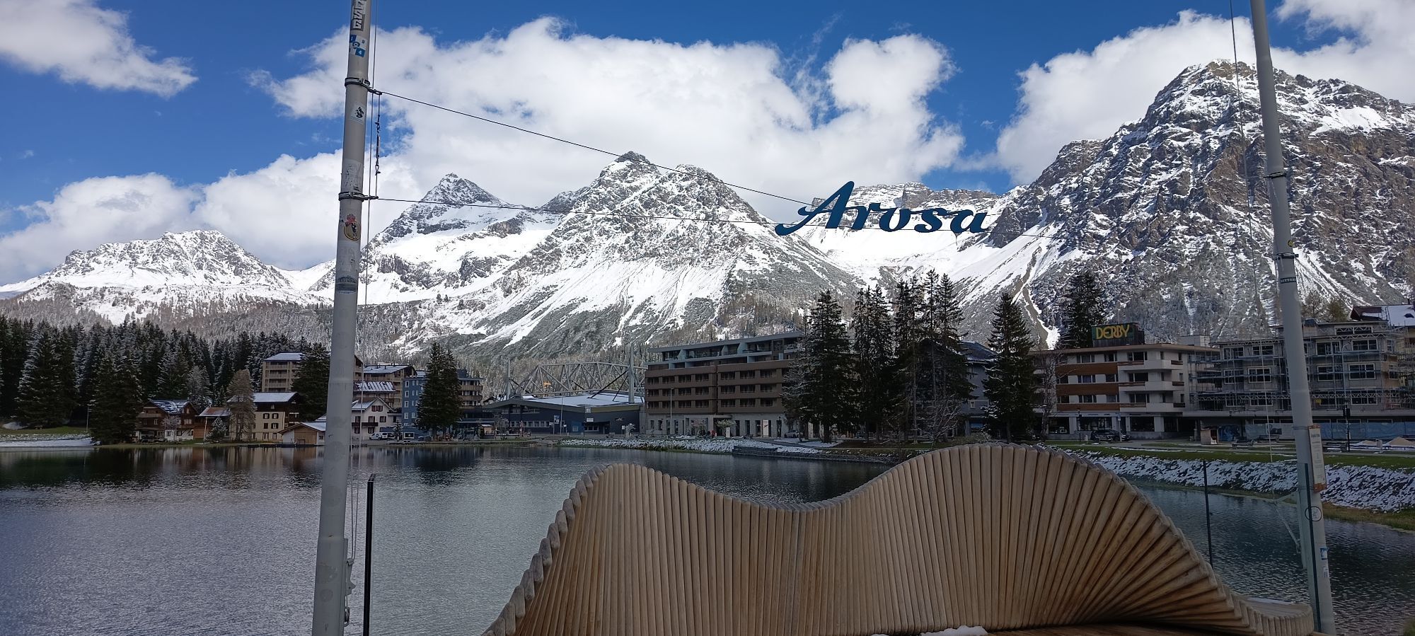
By train to Arosa
The Rhaetian Railway train takes you comfortably from Chur to the center of Arosa. The journey begins leisurely through Chur and after the city limits, the red train becomes a mountain railway and climbs 1000 meters up to Arosa at 1,775 m above sea level in just 26 km.
You can find the timetable directly at sbb.ch
Between Chur and Arosa, the train stops at the following stations. The Dörferweg Schanfigg can also be started from any of these stations:
Chur Old Town Lüen-Castiel St. Peter-Molinis Peist Langwies GR LitzirütiDetails on how to get to Arosa: https://arosalenzerheide.swiss/de/Arosa/Aktuell/Wissenswertes/Anreise
Details on how to get to Chur: https://www.chur.graubuenden.ch/de/service/information/anreise
Various parking options in Arosa: https://www.arosa-parking.com/
Various parking options in Chur: https://www.chur.graubuenden.ch/de/service/mobilitaet-ort/parkieren
Of course, you can start the route at any point along the Dörferweg.
Discover insider tips at the village fountain or during a short chat in the village shop from the locals. Divide your hike into different stages.
Spletne kamere s turneje
-
Waldstafel
-
Arflina
-
Arflina
-
Arflina
-
Arosa - Tschuggen
-
Alpenstadt Chur
-
Tschiertschen - Alp Farur
-
Hühnerköpfe - Bergrestaurant
-
Hühnerköpfe - Bergrestaurant
-
Tschiertschen Talstation
-
Brambrüesch / Sesselbahn Hühnerköpfe
-
Tschiertschen Talbereich
-
Arosa - Bärenland
-
Arosa - Weisshorn
-
Arosa - Dorf
-
Arosa - Alp Maran
-
Alp Maran - Golfhaus Arosa
-
Hühnerköpfe - Bergrestaurant
-
Triemel
-
Arosa - Brüggerhorn
Priljubljeni izleti v okolici
-
3.9
Arosa-Medergen-Tritt-Latschüelfurgga-Strelapass-Davos
srednjaPohodništvo 22.5 km -
Arosa-Schwellisee-Älplisee-Parpaner Rothorn
Pohodništvo 12.3 km -
4.7
Arosa-Hörnli-Parpaner Rothorn-Lenzerheide
Pohodništvo 11.9 km -
5.0
Arosa-Hörnli-Urdenfürrgli-Alp Scharmoin-Lenzerheide
srednjaPohodništvo 15.3 km -
5.0
Eichhörnliweg Arosa
svetlobaTematska pot 1.72 km -
2.0
Arosa-Maienfelder Furgga-Stafelalp-Davos
srednjaPohodništvo 15.9 km -
5.0
Arosa-Erzhornsattel-Arosa
Pohodništvo 14.9 km -
Haldensteiner Calanda
težkoPohodništvo 16.9 km -
2.0
Arosa-Furclettapass-Alvaneu
Pohodništvo 21.8 km -
5.0
767 Alteinsee Schiesshorn
srednjaPohodništvo 11.9 km

Pohodništvo in sledenje


Ne zamudite ponudb in navdiha za naslednje počitnice
Vaš e-poštni naslov je bil dodan na poštni seznam.