


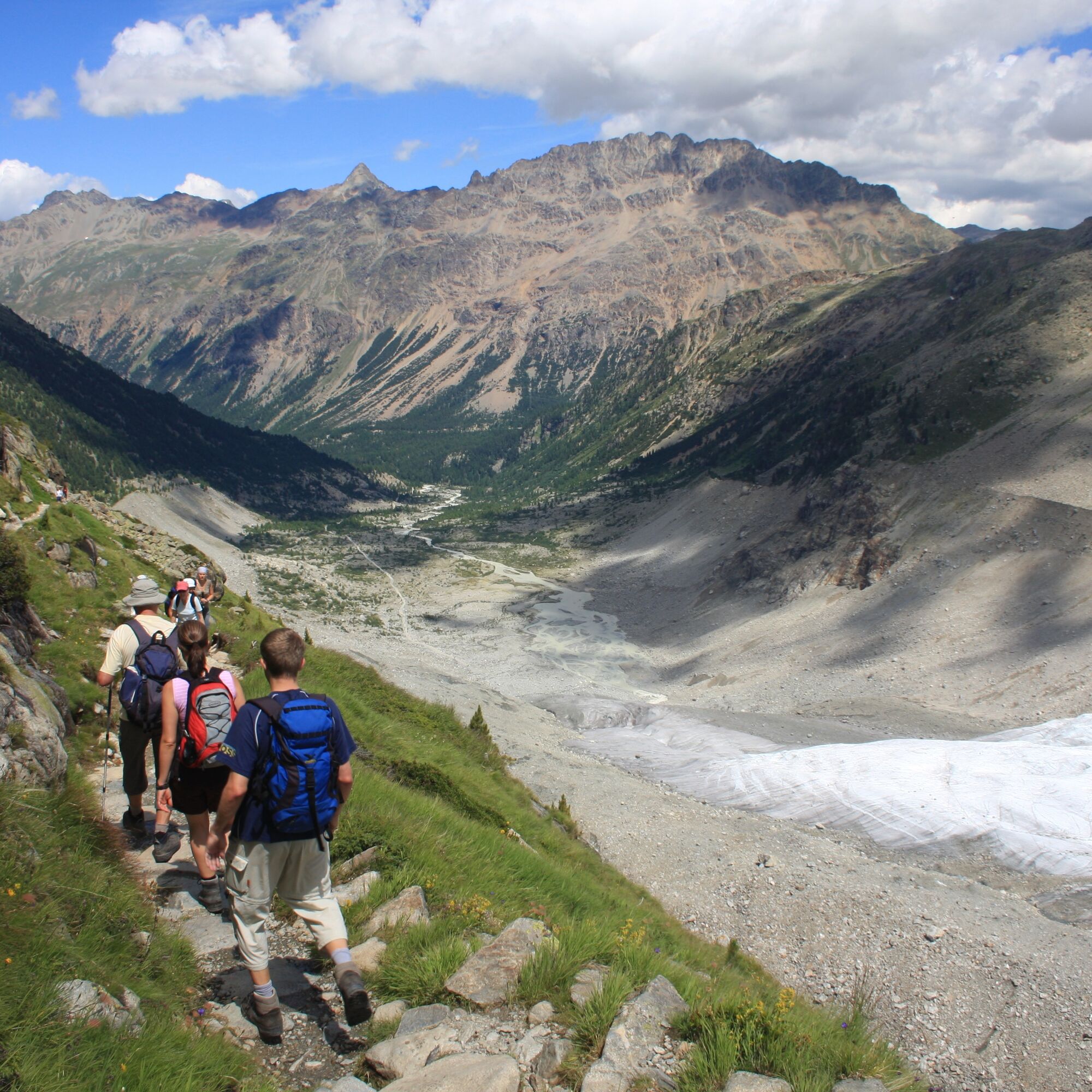
Bernina Trek classic (7 stages)


This long-distance hiking trail of the Swiss Alpine Club (SAC) not only leads to all SAC Bernina huts, but right through a breathtaking mountain world: from the Albula valley with Piz Kesch and the UNESCO...
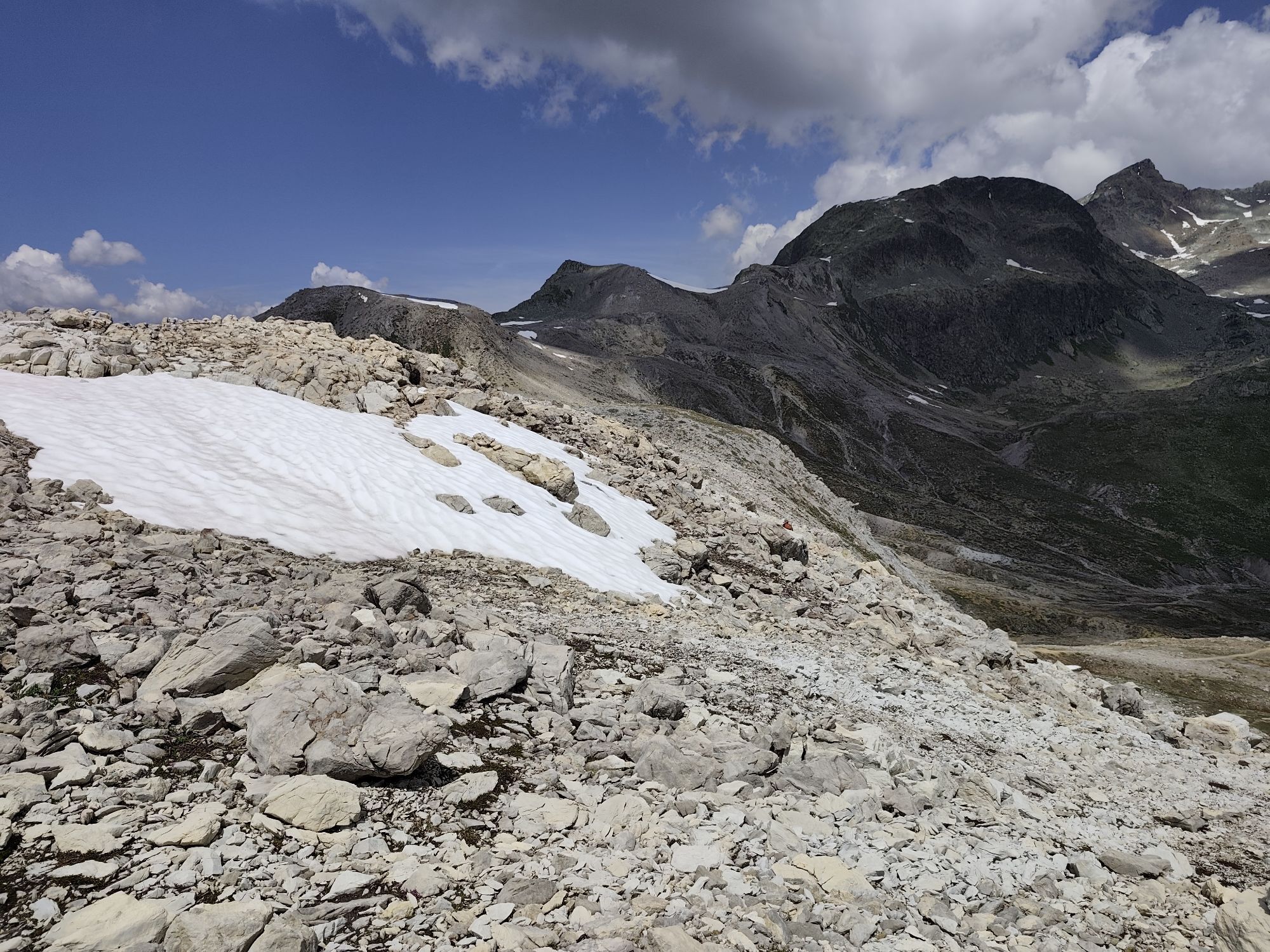
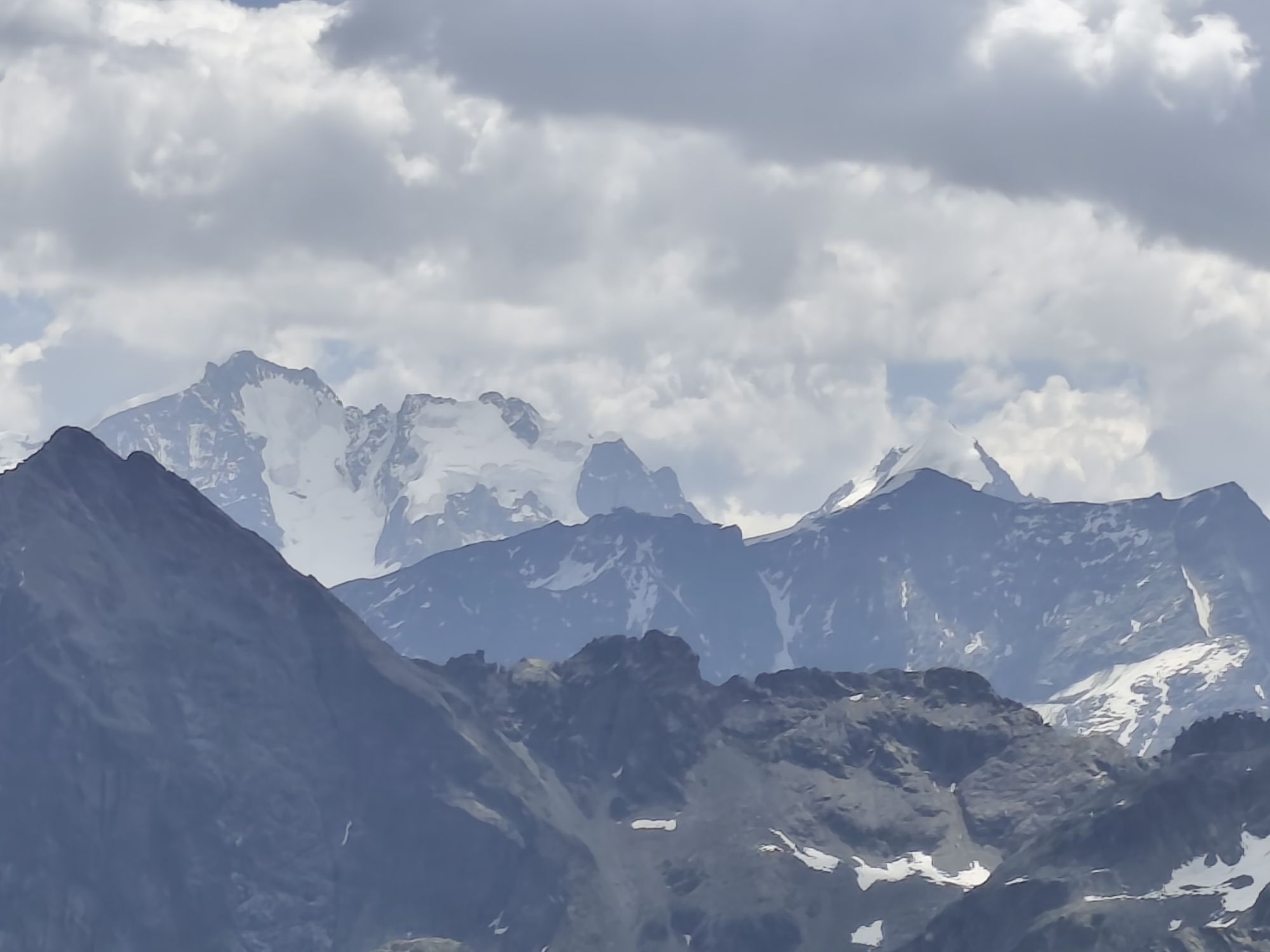
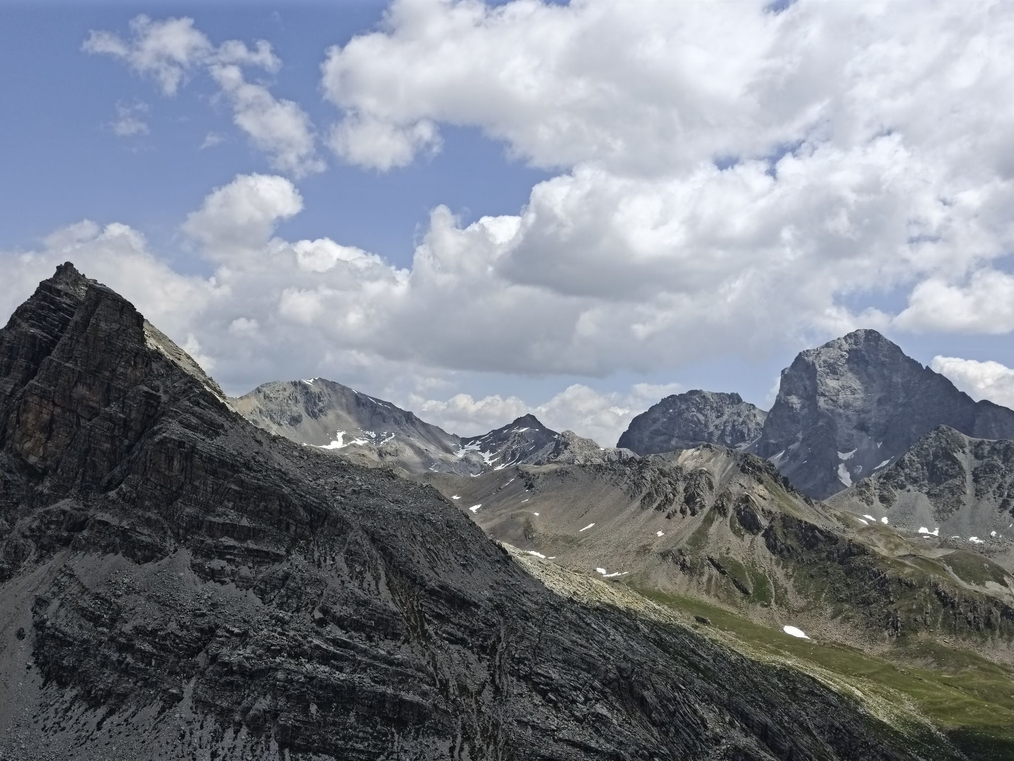
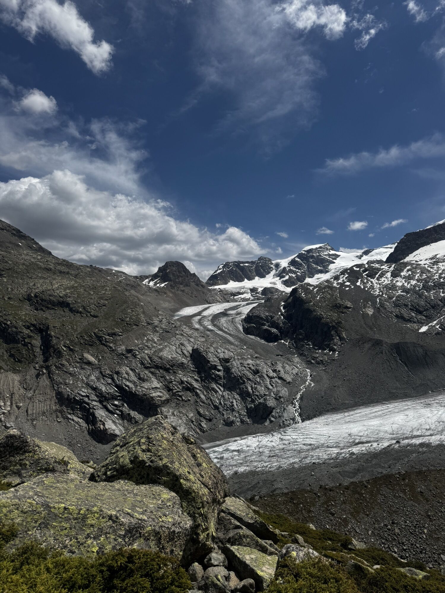
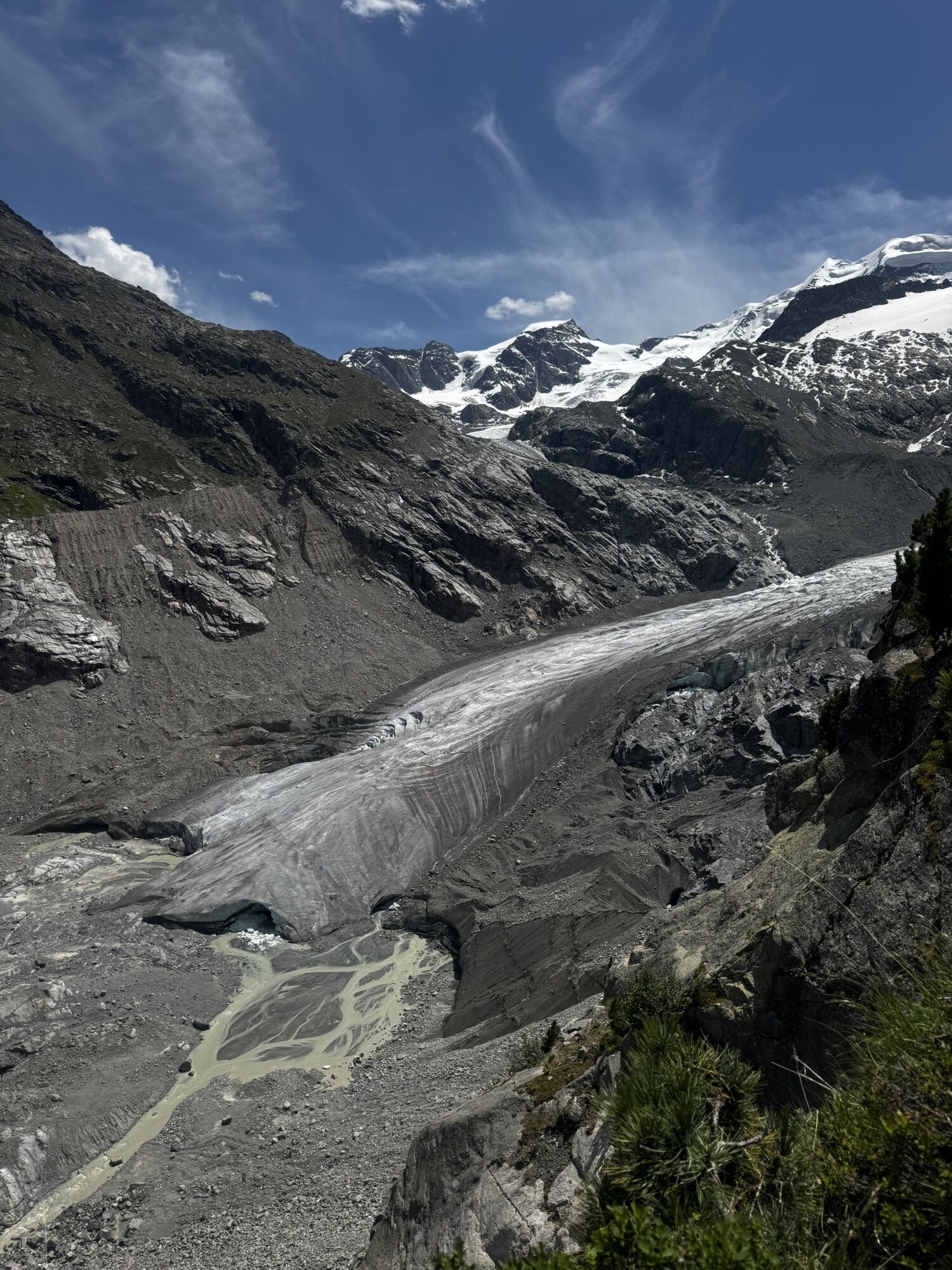
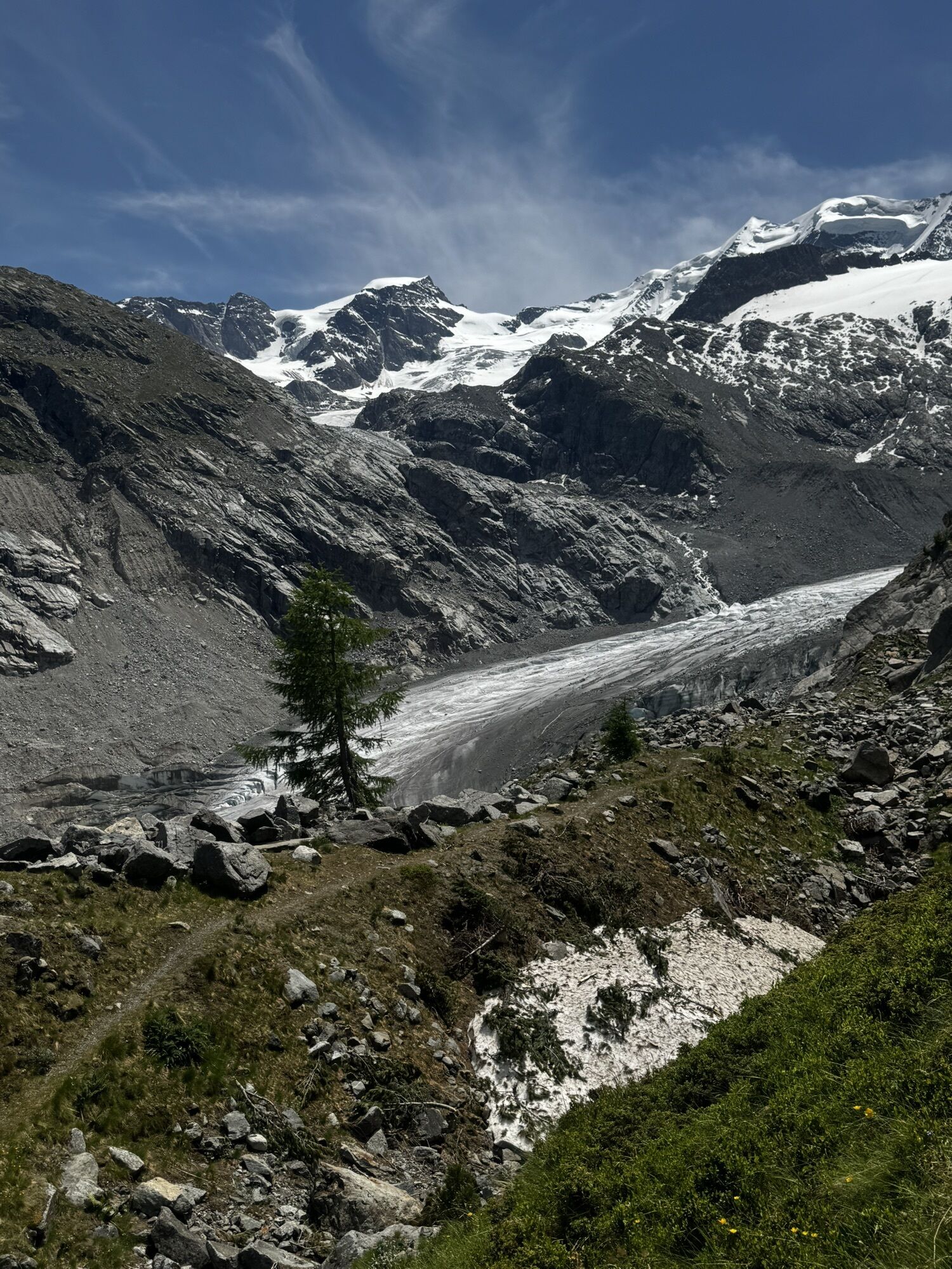
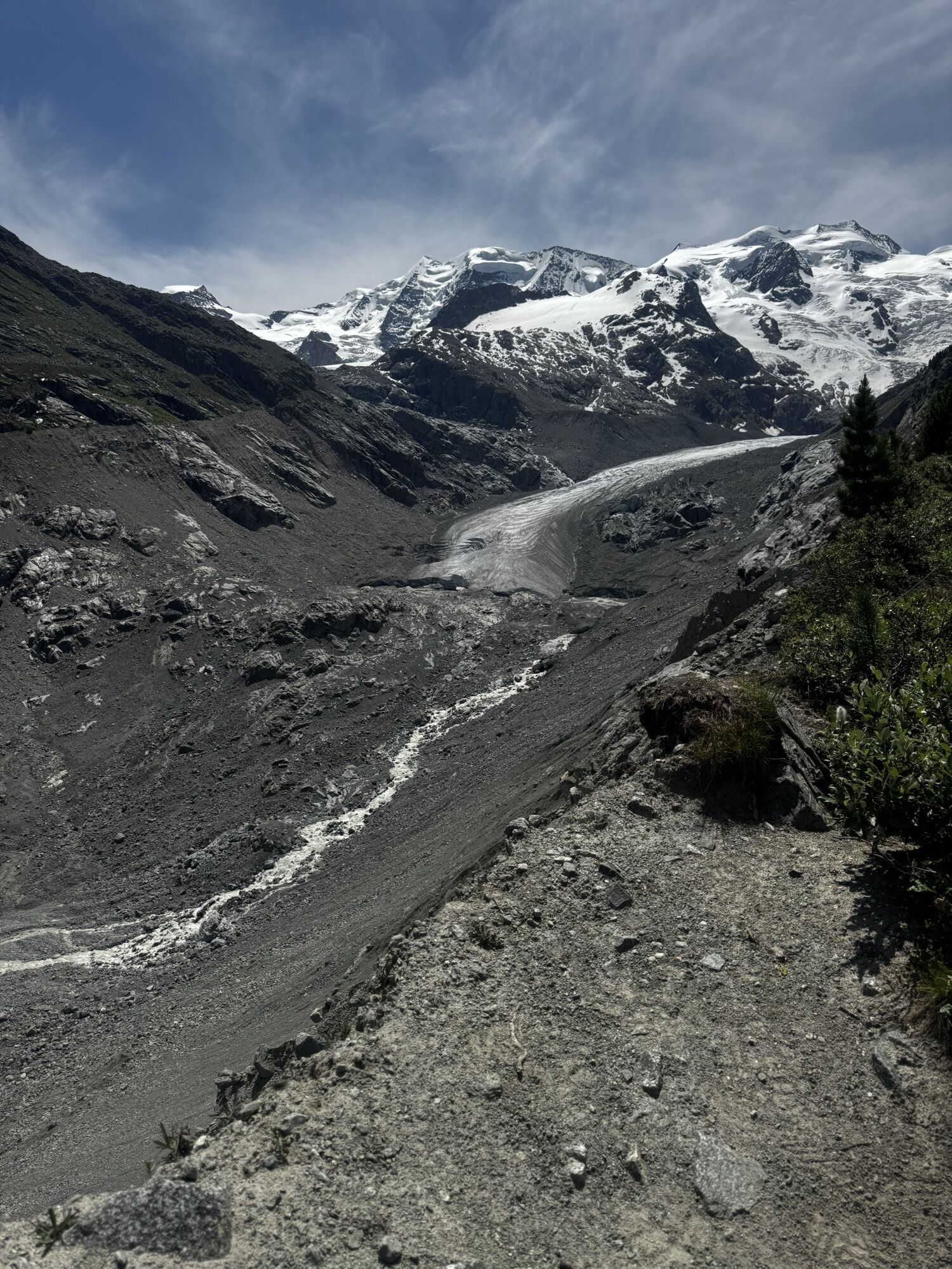
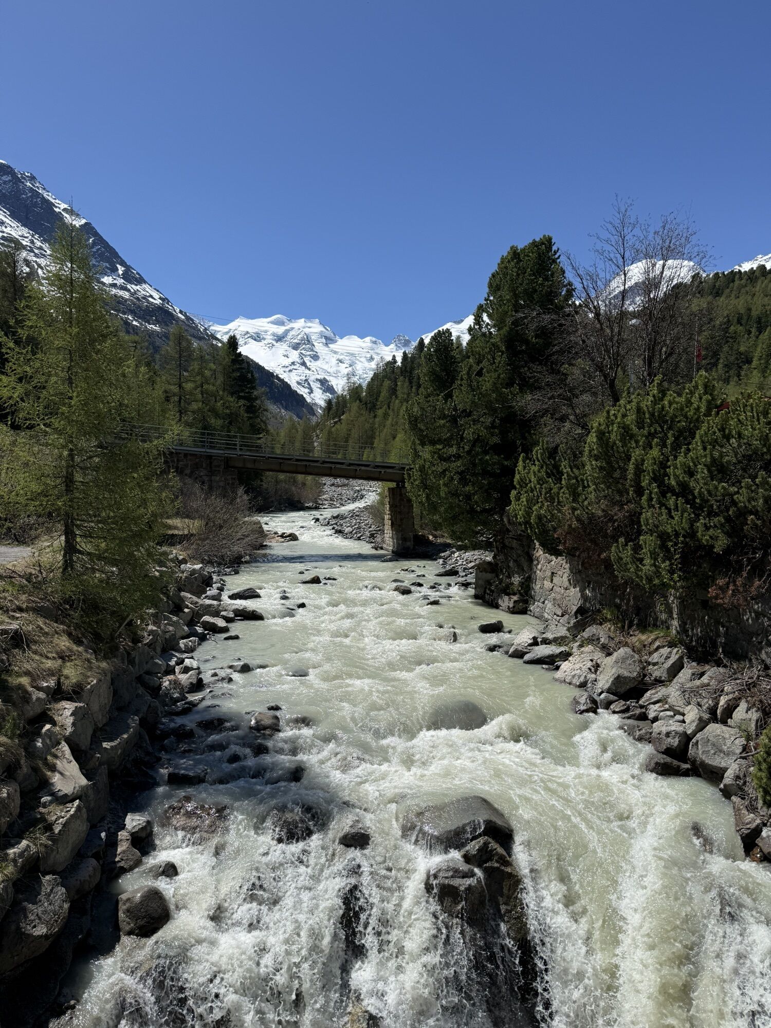
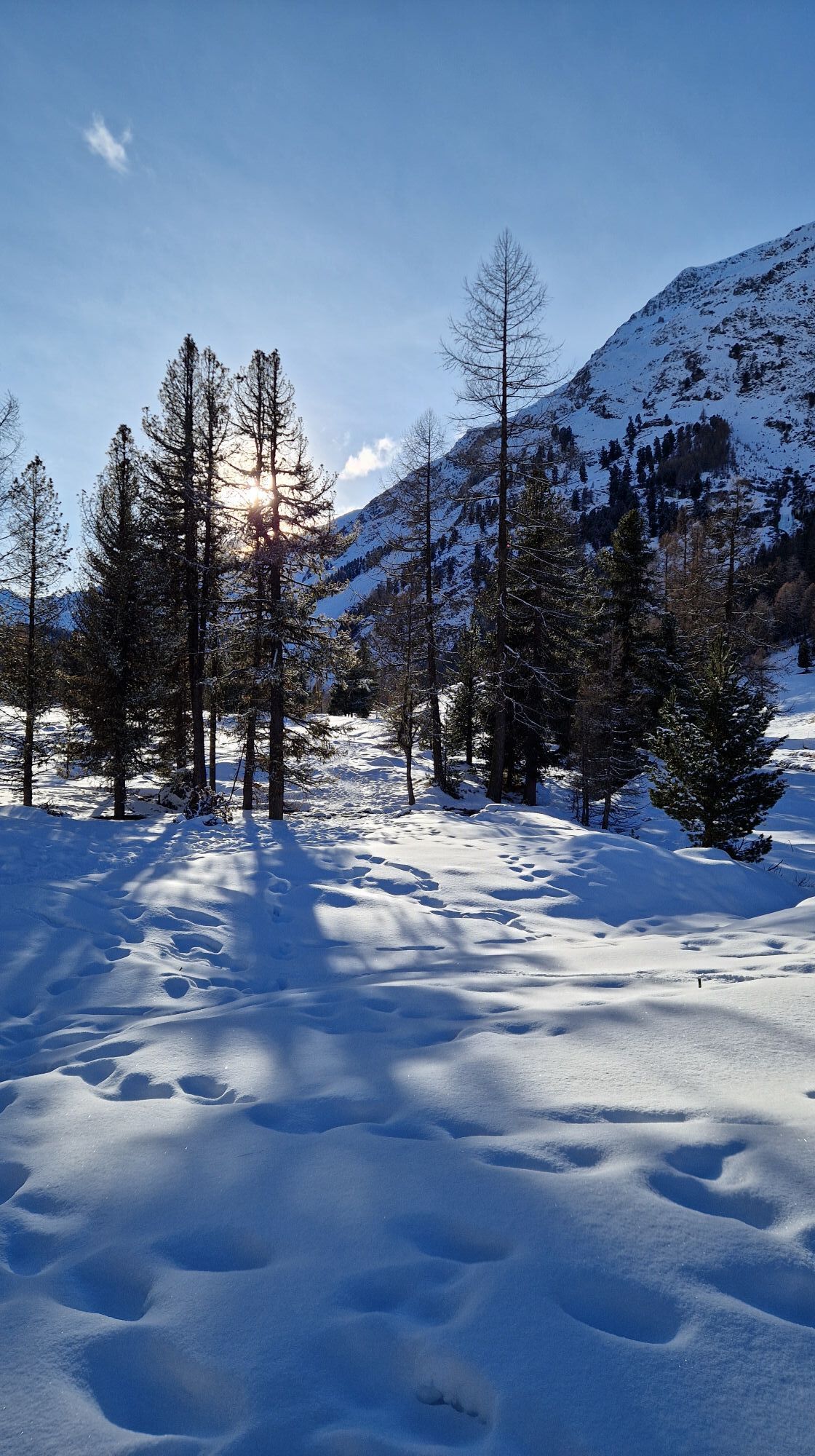
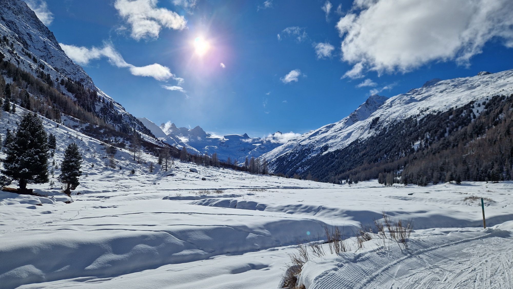
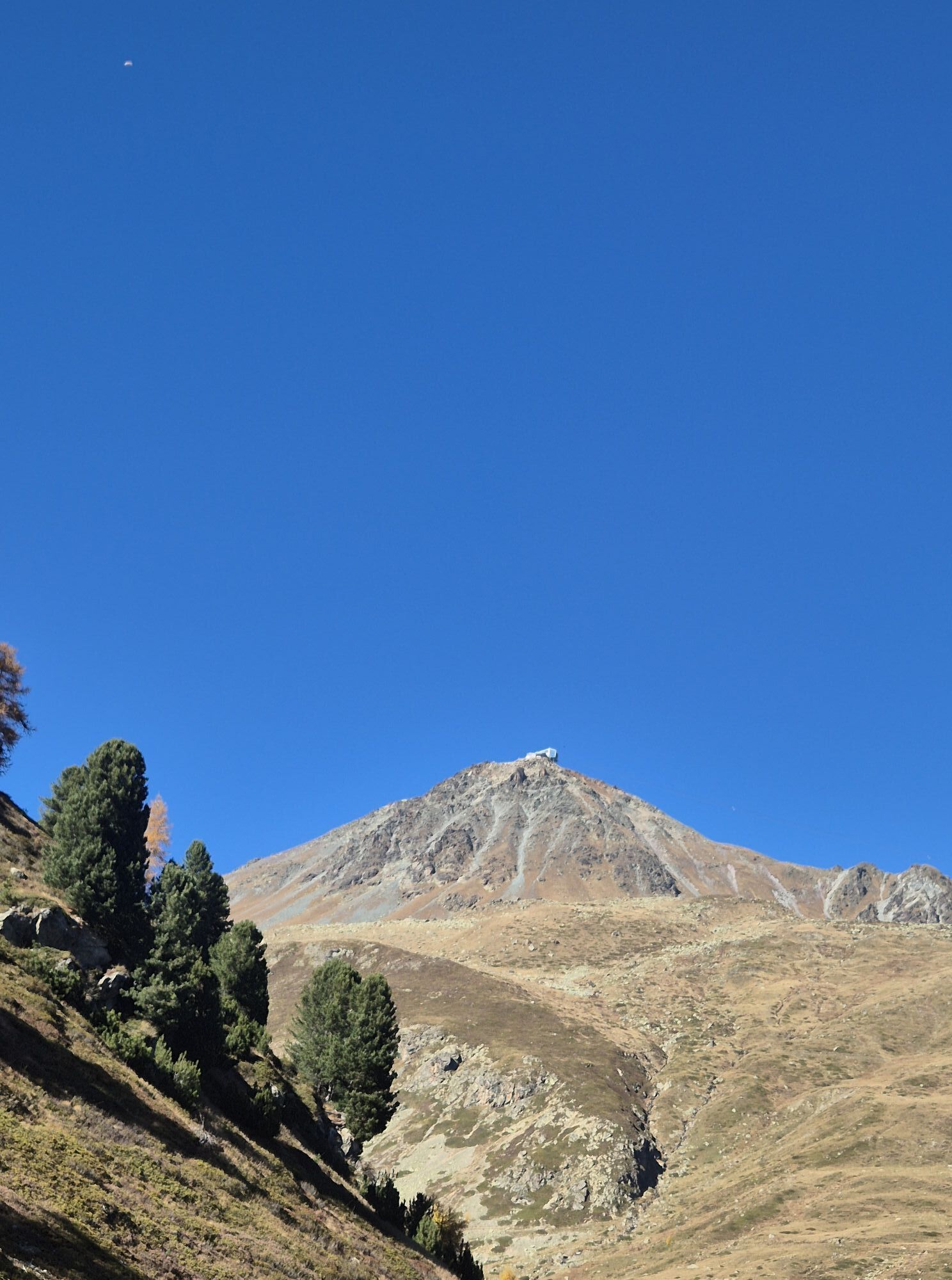
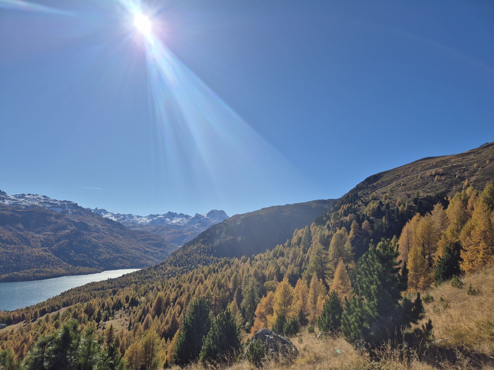
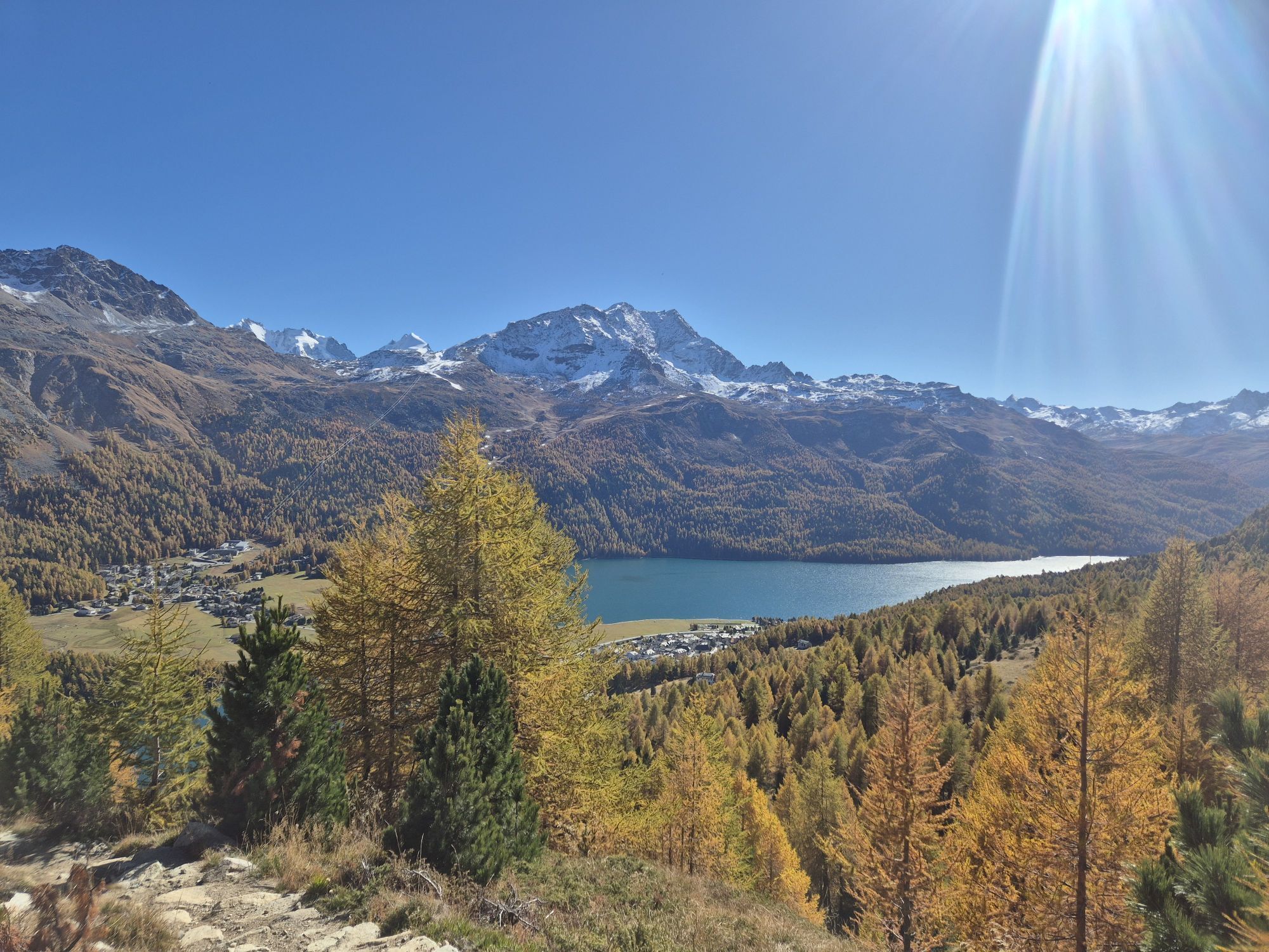
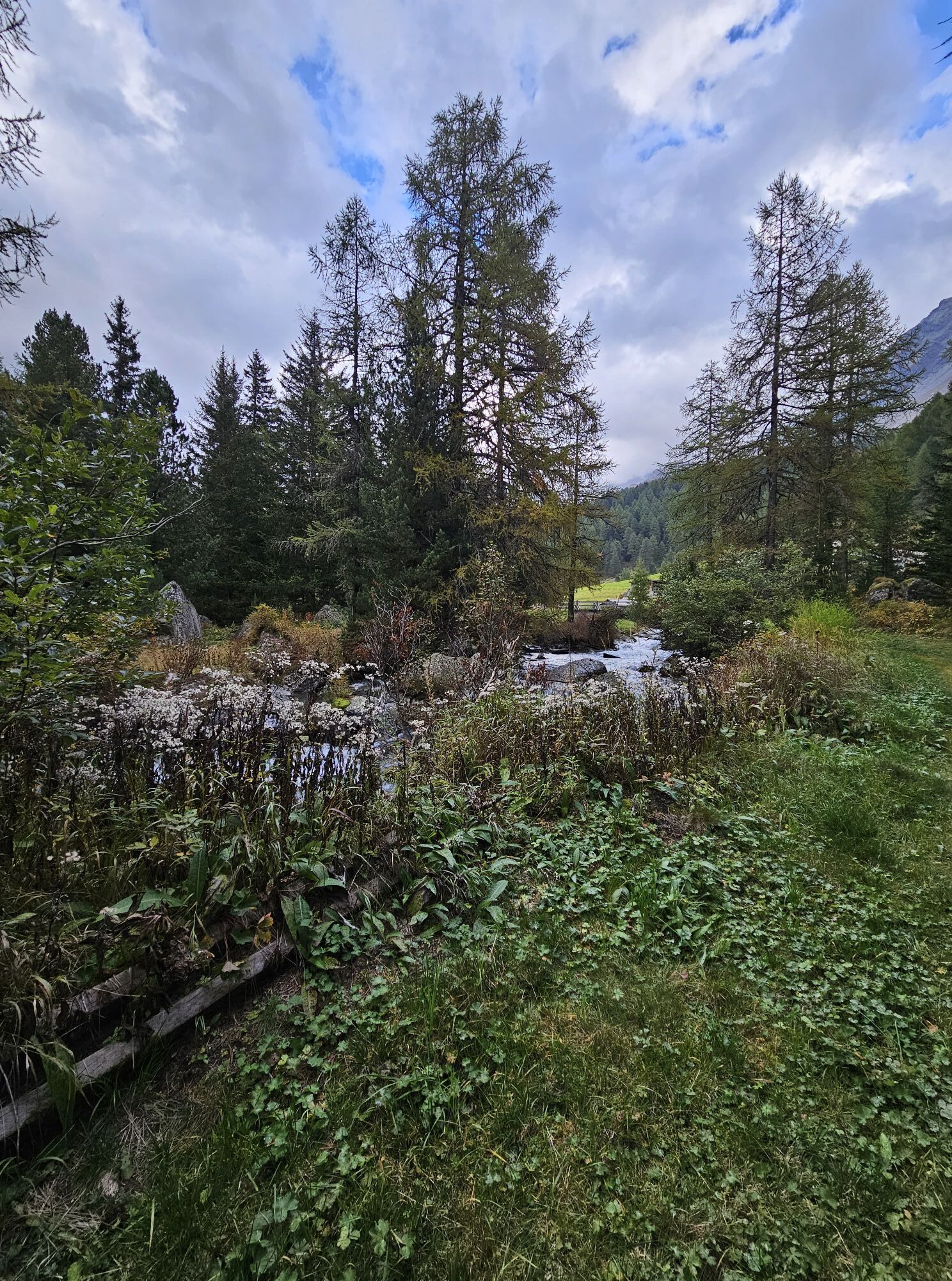
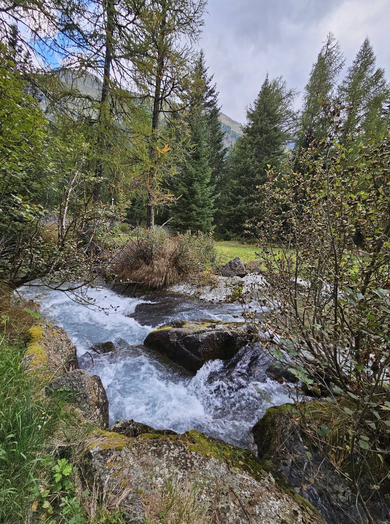
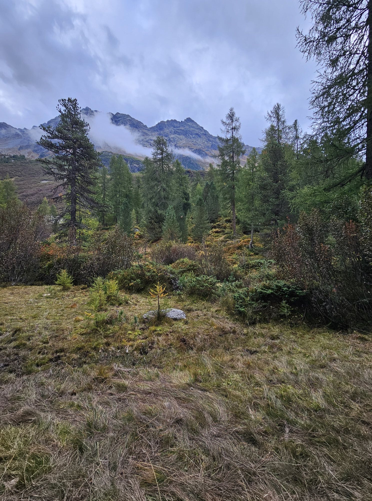
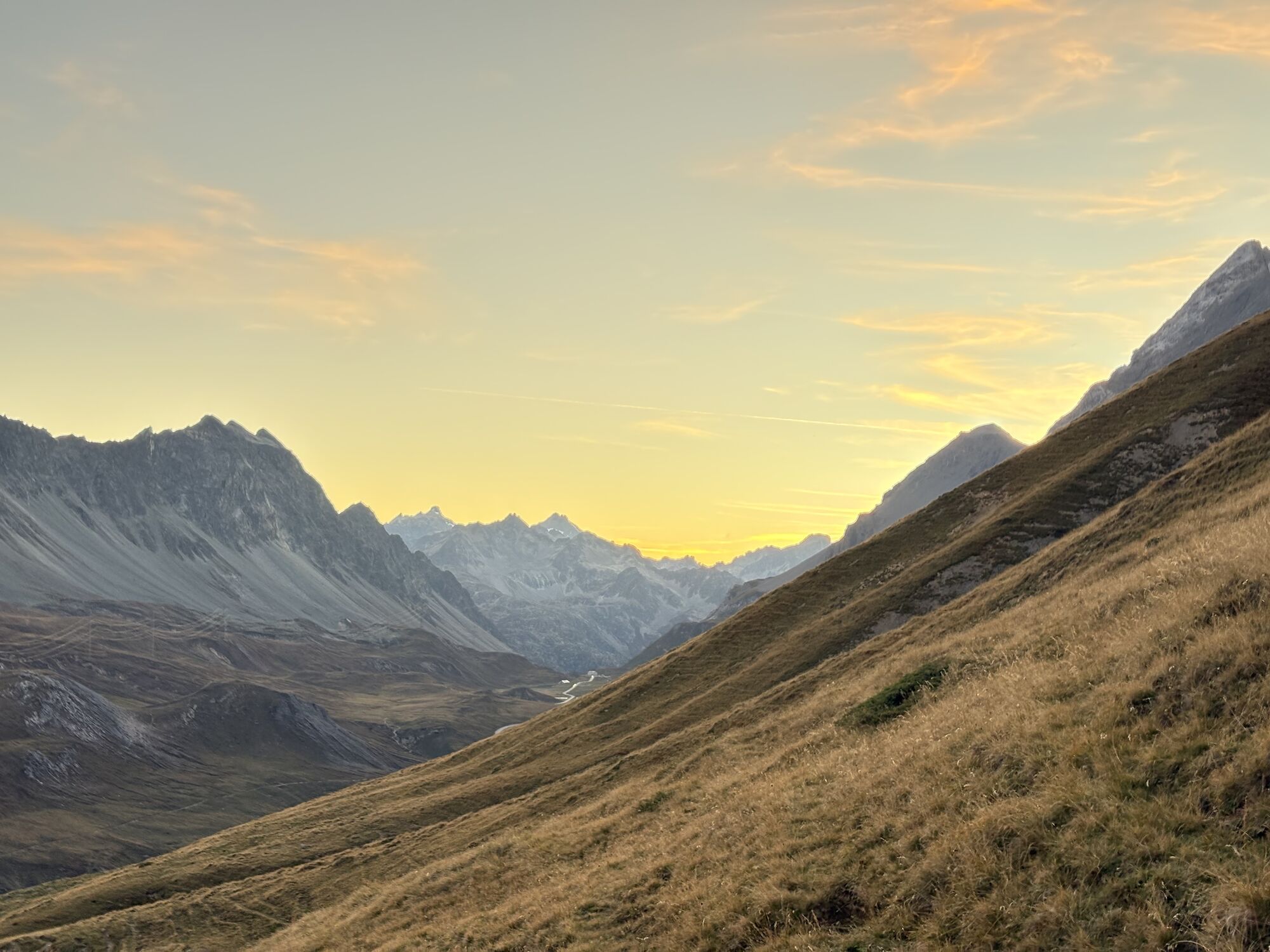
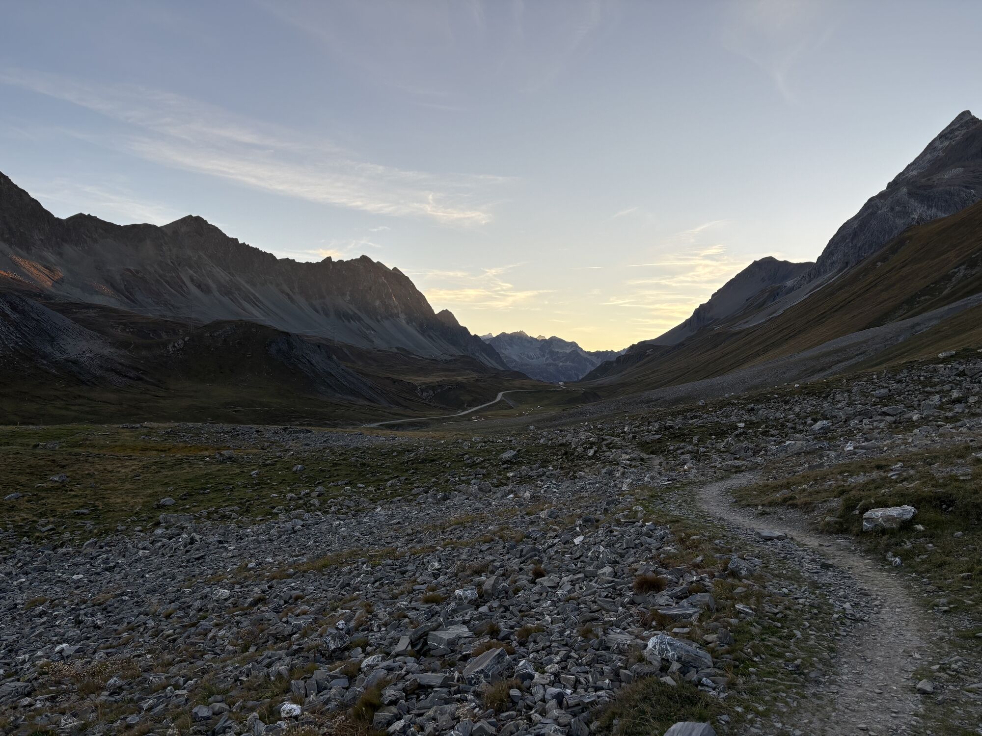
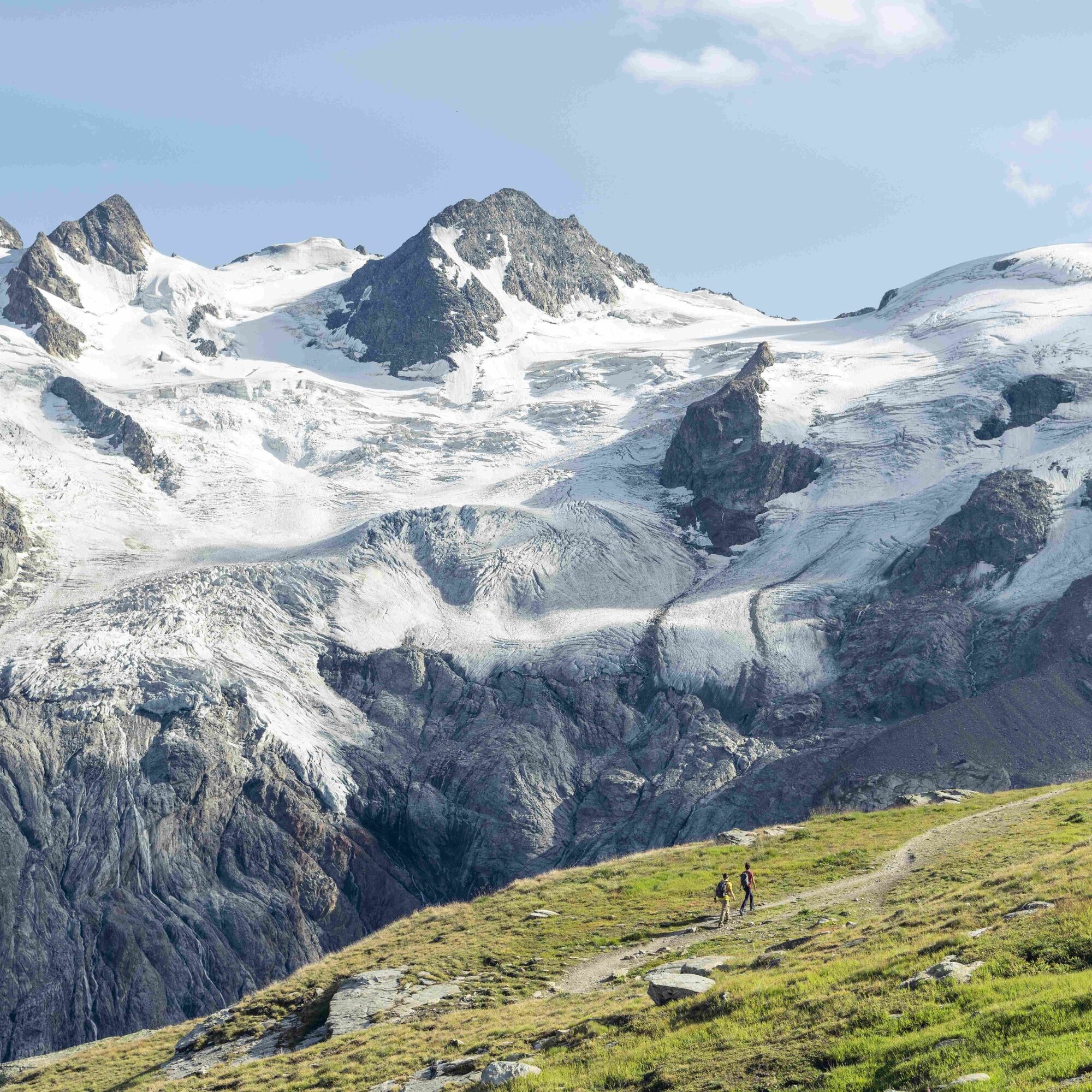
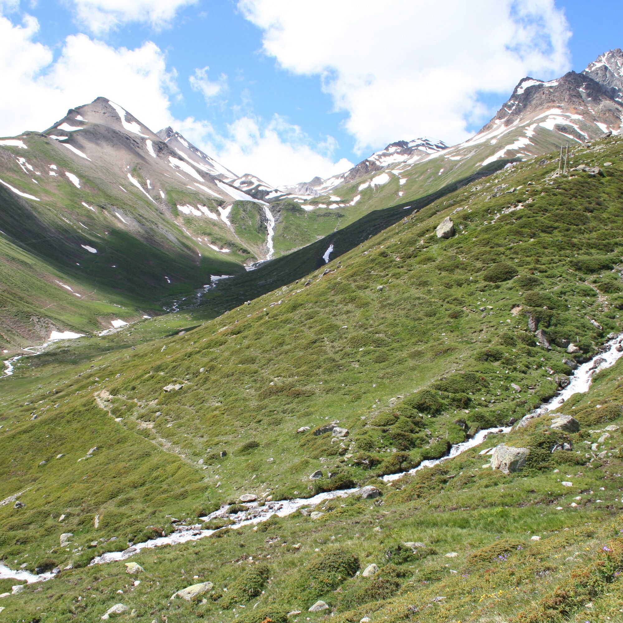
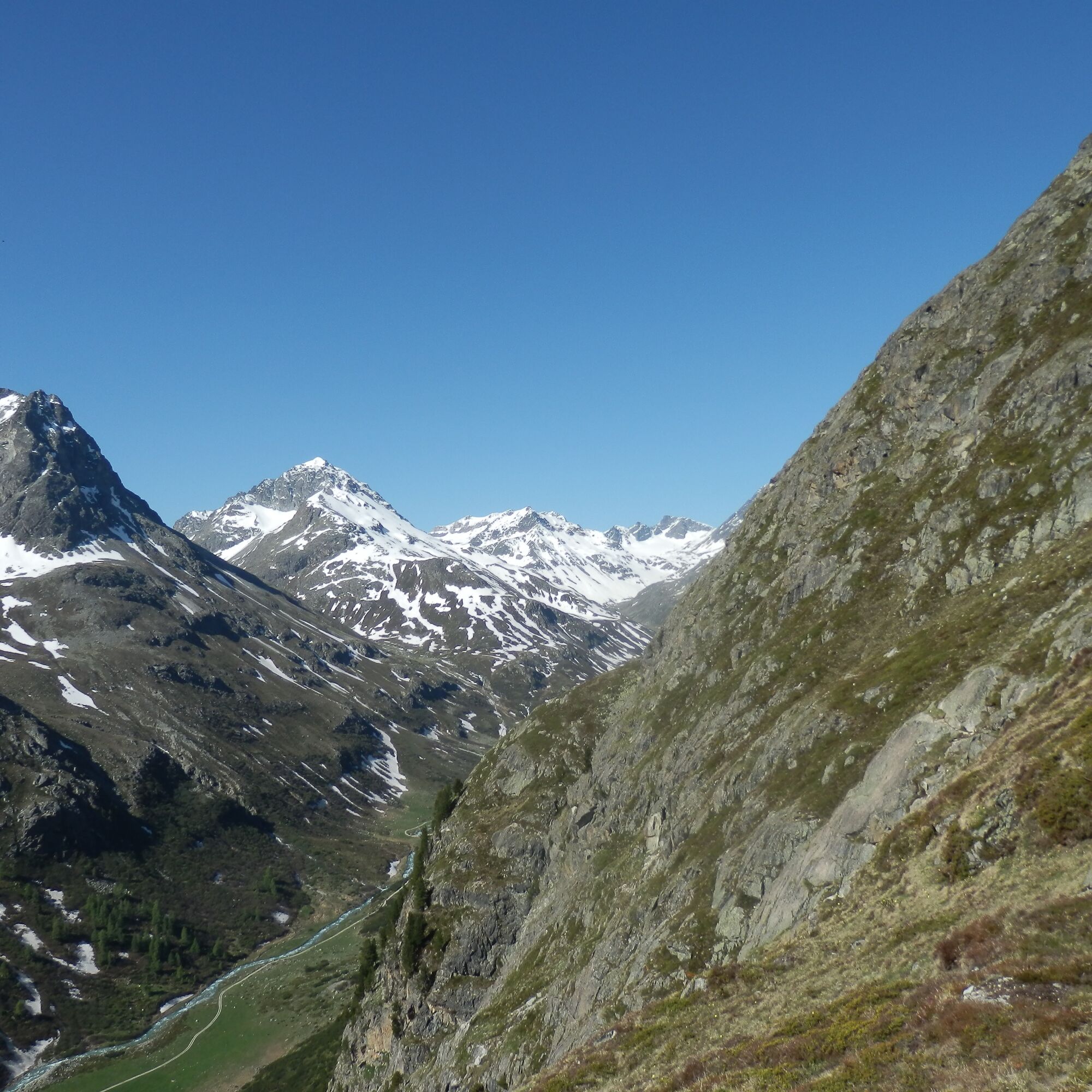
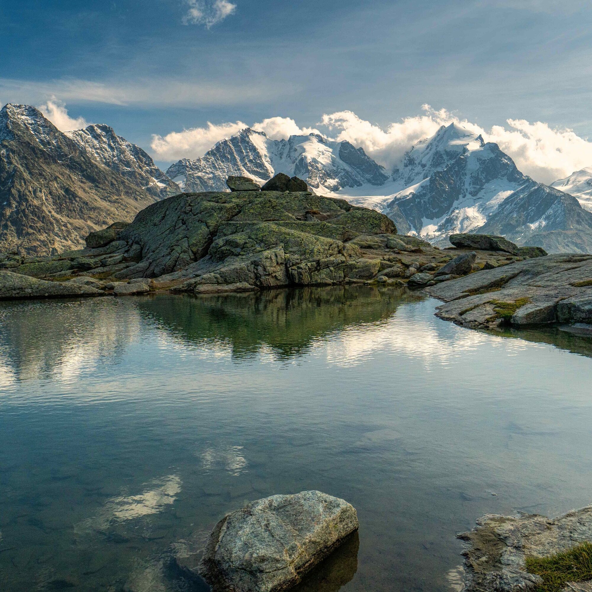
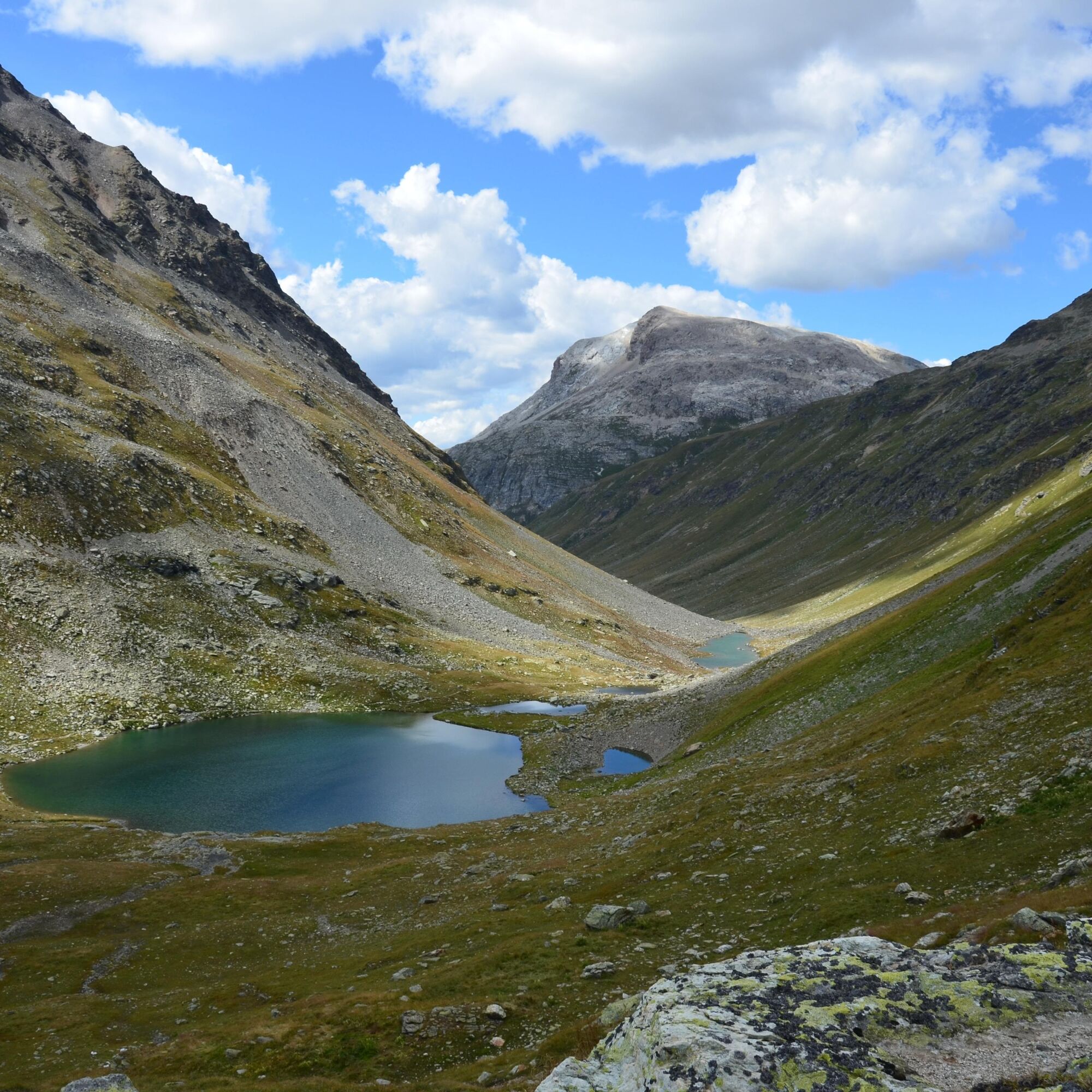
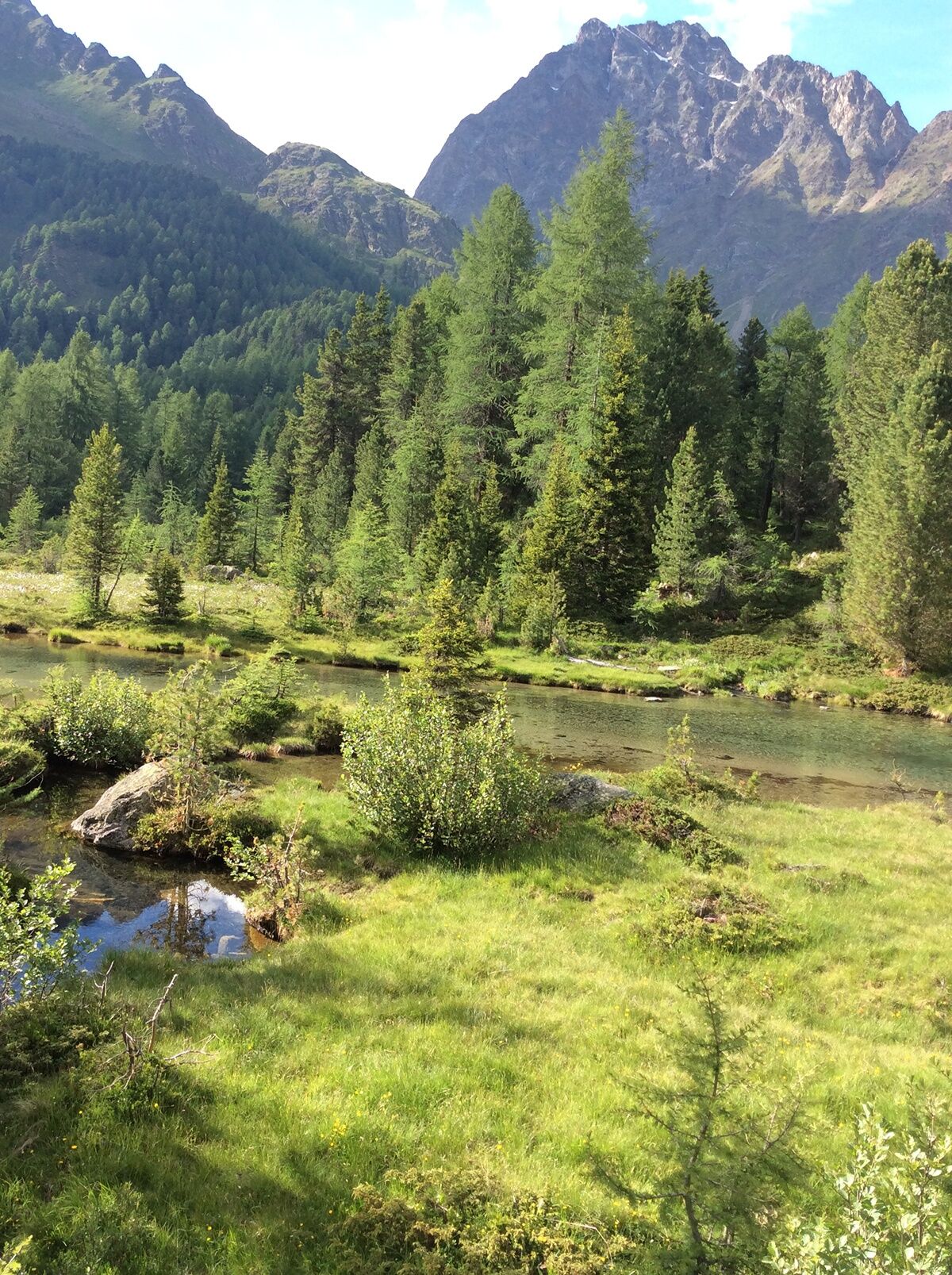
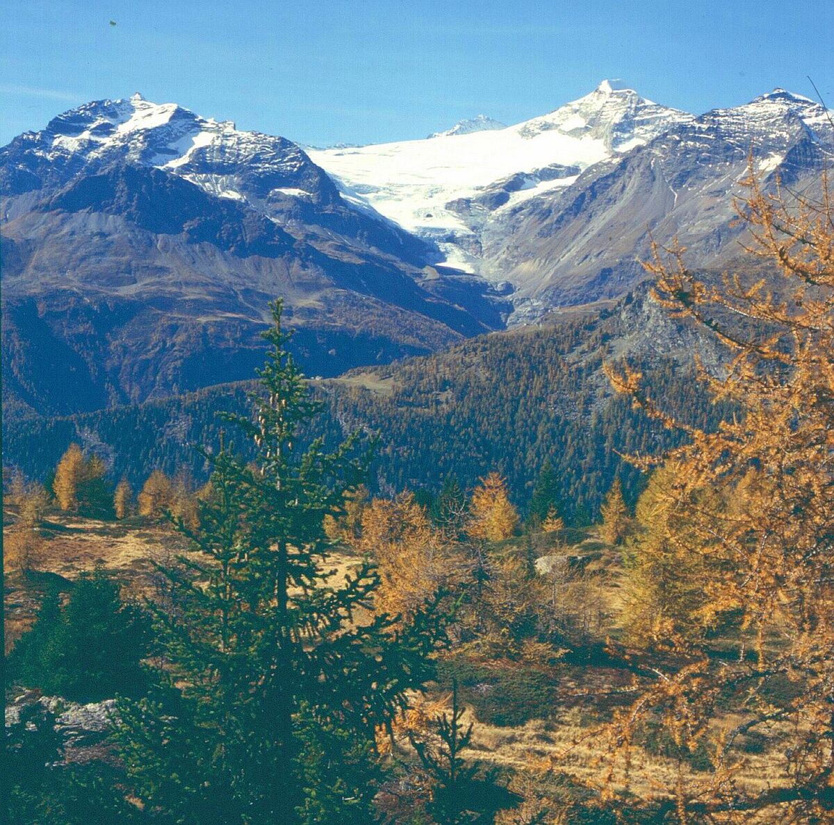
This long-distance hiking trail of the Swiss Alpine Club (SAC) not only leads to all SAC Bernina huts, but right through a breathtaking mountain world: from the Albula valley with Piz Kesch and the UNESCO World Heritage Rhaetian Railway, into the magnificent Julier region with its impressive geological formations, through the Bernina area with the summit kings Piz Palü, Piz Moteratsch and Piz Bernina and finally to the incomparable Italian atmosphere of the lovely Puschlav.
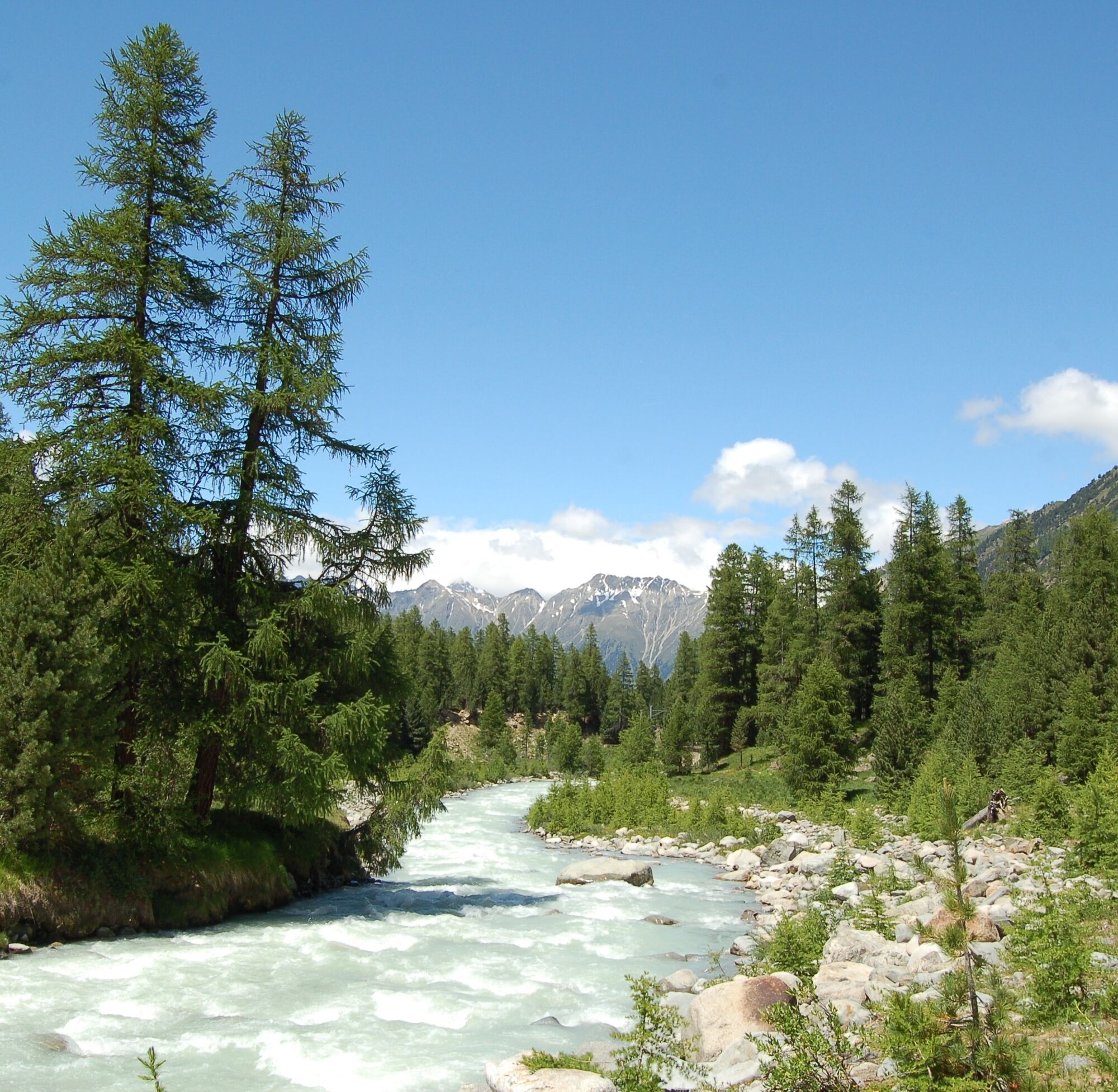
The Bernina Trek is wonderfully hikeable thanks to its three possible variants for easygoing, sturdy and summit-challenging hikers: The “classic” leads in seven days through magnificent mountain landscapes, past deep blue mountain lakes, icy glacier streams and snow-covered mountain peaks. For those who want more, this route can be extended with various summit experiences ("Summit Challenger" variant). But a relaxed "Pacific" route is also possible, so families and groups with mixed fitness can also experience this alpine high enjoyment.
Further information
Engadin Tourism AG
Via Maistra 1
CH-7500 St. Moritz
Phone: +41 81 830 00 01
E-Mail: allegra@engadin.ch
Website: www.engadin.ch
Booking
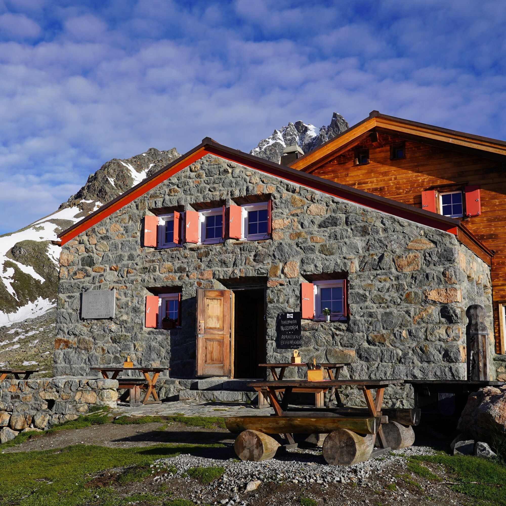
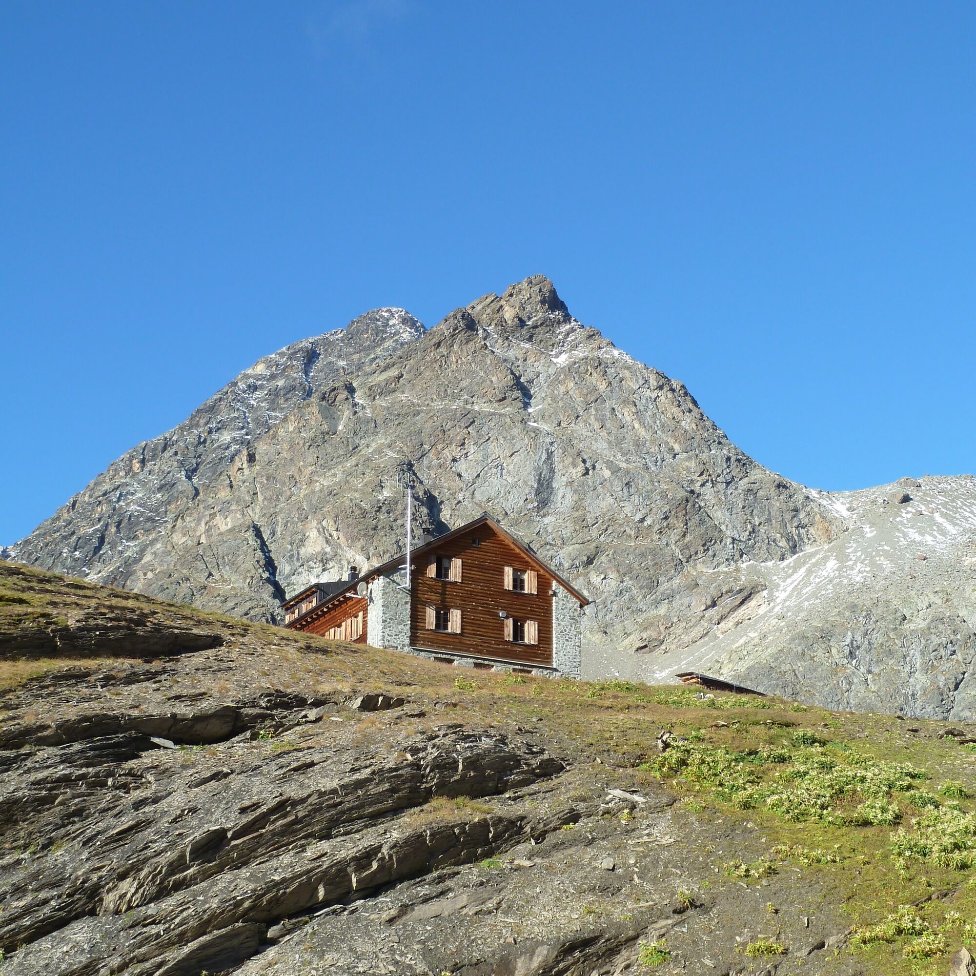
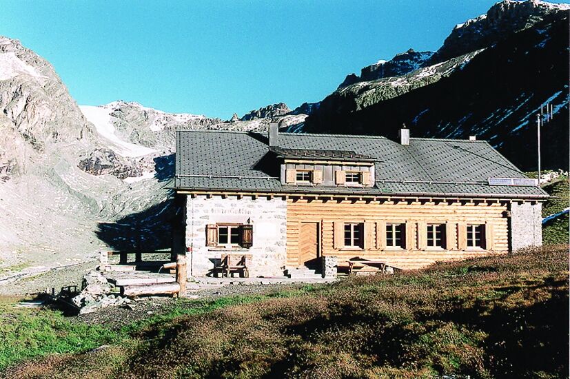
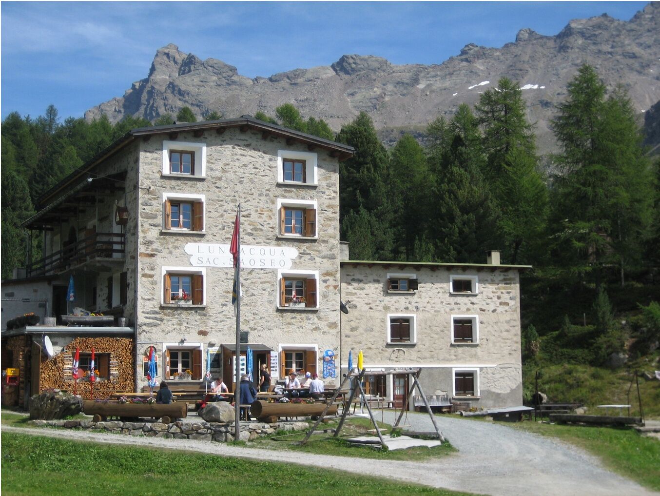
Chamanna Coaz
Phone: +41 81 842 62 78
E-Mail: info@coaz.ch
Website: bernina-trek.ch

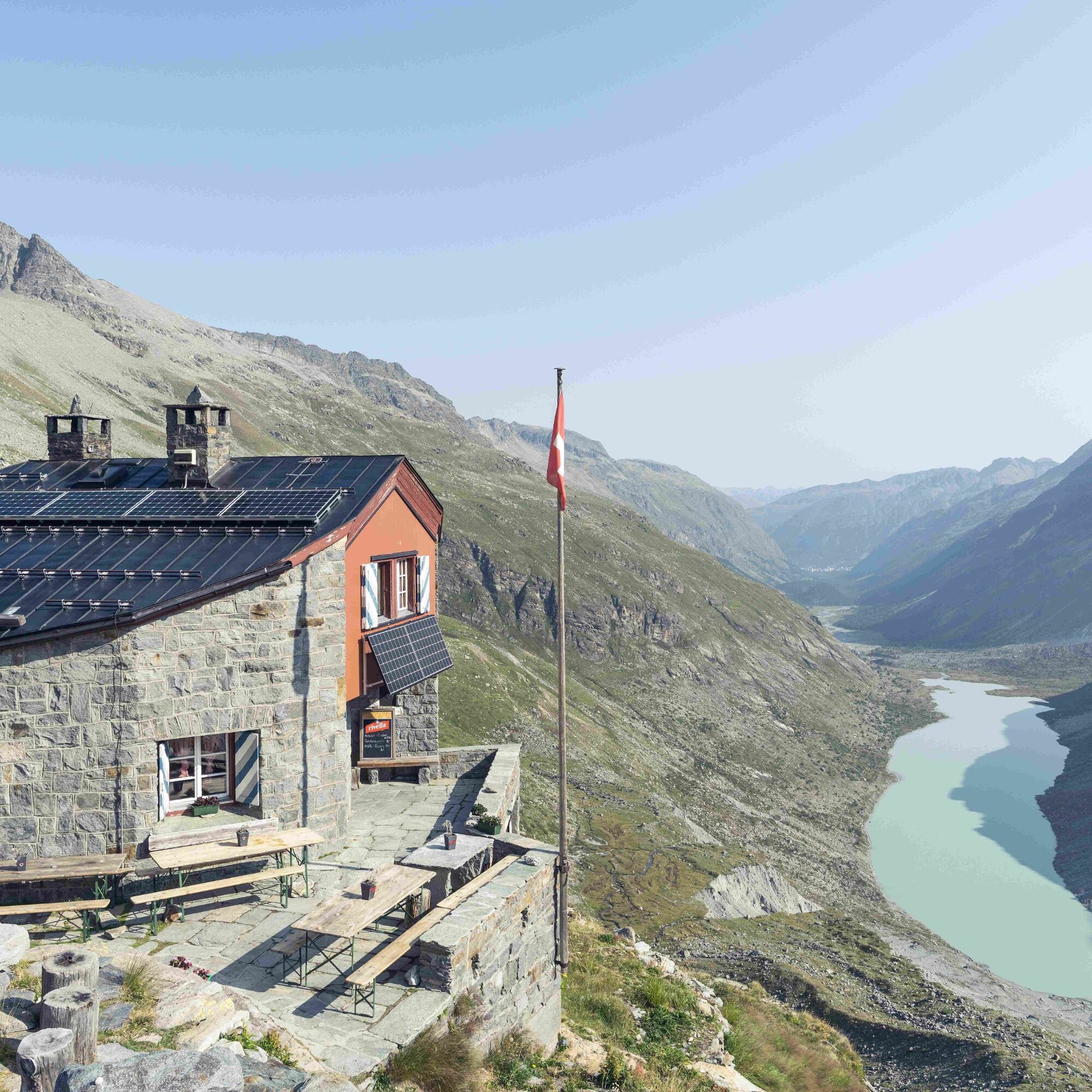

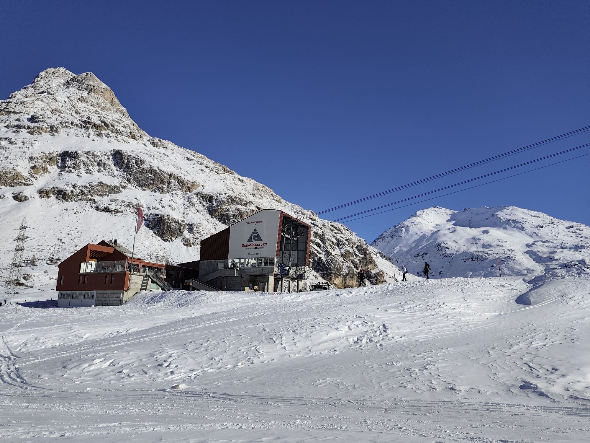
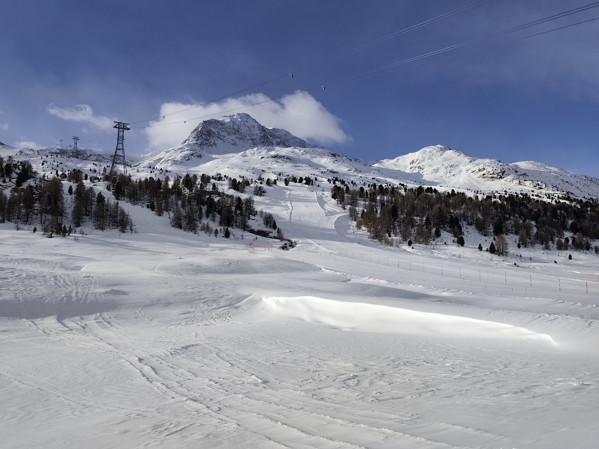
Madulain - Chamanna d'Es-cha - Albulapass - Fuorcla Crap Alv - Val Bever - Chamanna Jenatsch - Pass Suvretta - Suvretta da San Murezzan - Silvaplana - Surlej - Corvatschbahn - Murtèl - Fuorcla Surlej - Chamanna Coaz (closed summer 23 due to renovation) - Lej da Vadret - Chamanna da Tschierva - Val Roseg - Pontresina - Morteratsch - Chamanna da Boval - Morteratsch - Bernina Suot - Bernina Diavolezza - Val Minor - Fuorcla Minor - Plan da li Tegi - La Rösa - Val da Camp - Rifugio Saoseo - Plan - Aurafreida - Urezza - Poschiavo
Da
Da
Hiking/trekking shoes with a good sole profile, trekking poles, weatherproof clothing (rain pants, jacket and cover), good functional clothing including change of clothes for up to 7 days trekking tour, personal documents (IDs) and cash, small travel first aid kit (including medicines and emergency blanket), toiletries (possibly earplugs), hut sleeping bag, possibly camera, pocket knife, map and GPS device, mobile phone, sun protection, headlamp, depending on season: gaiters, hat and gloves, day provisions such as energy bars (can also be bought in the valley or on the huts), at least 1.5 L water bottle, possibly string.
This equipment list is primarily meant as a packing aid, it is not complete. It is advisable to concentrate on the essentials on a multi-day hut tour. The stages are long; the heavier the backpack, the slower you progress and the faster you get tired. The equipment must be adapted to individual demands, weather and duration.
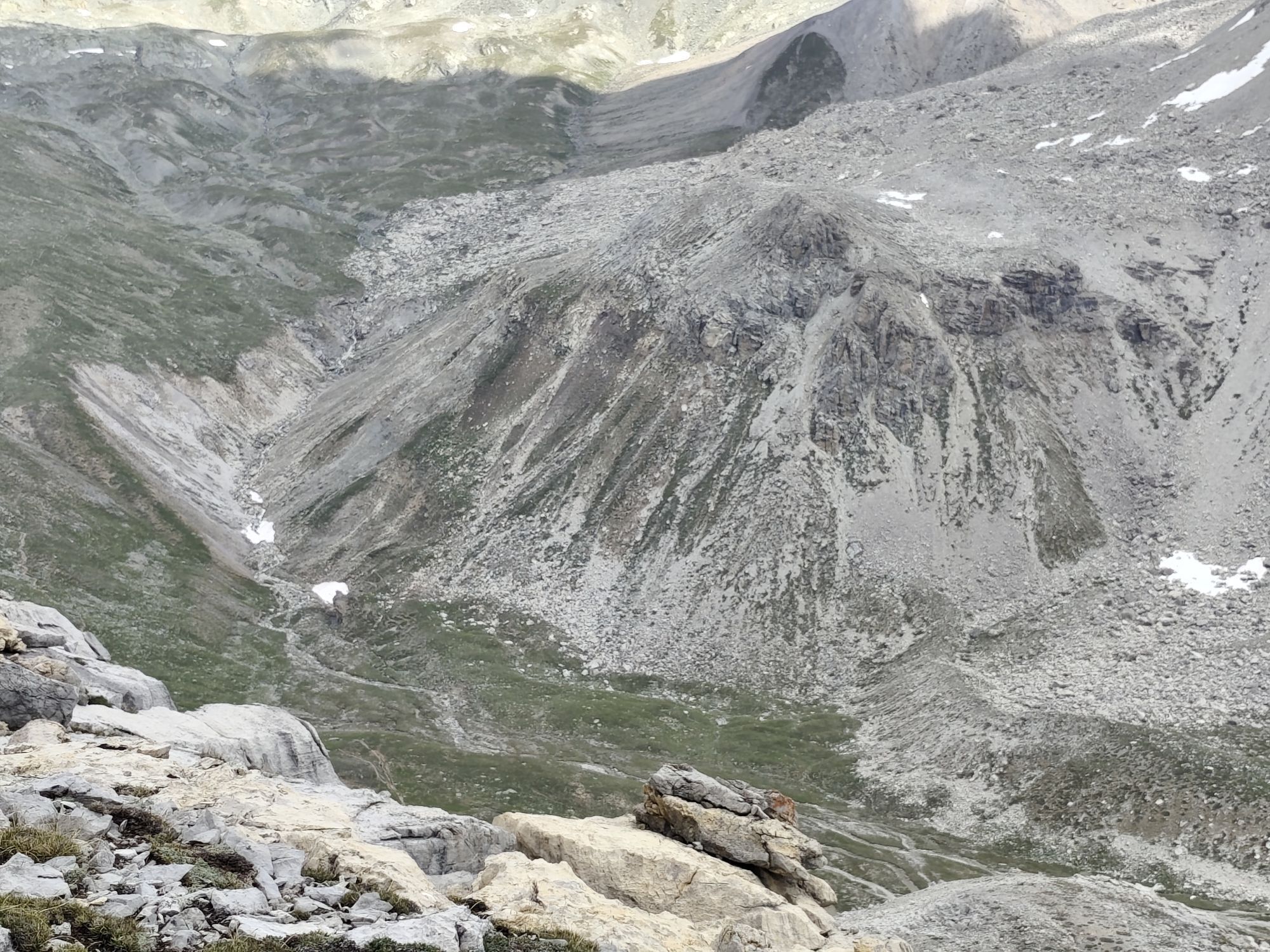
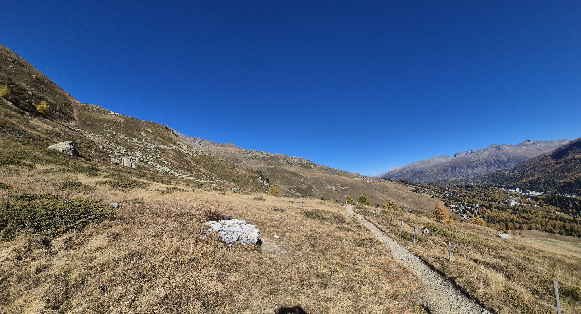
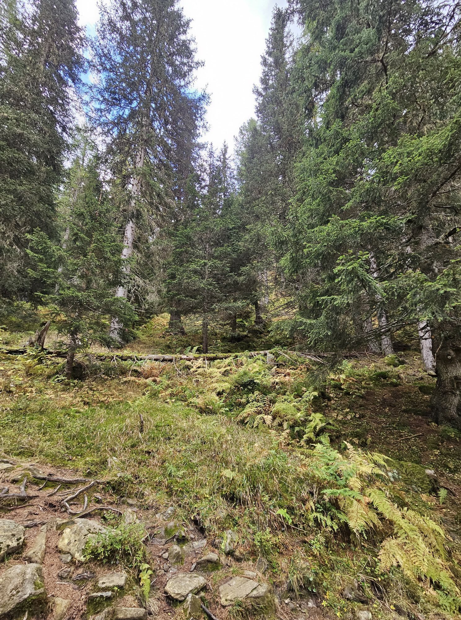
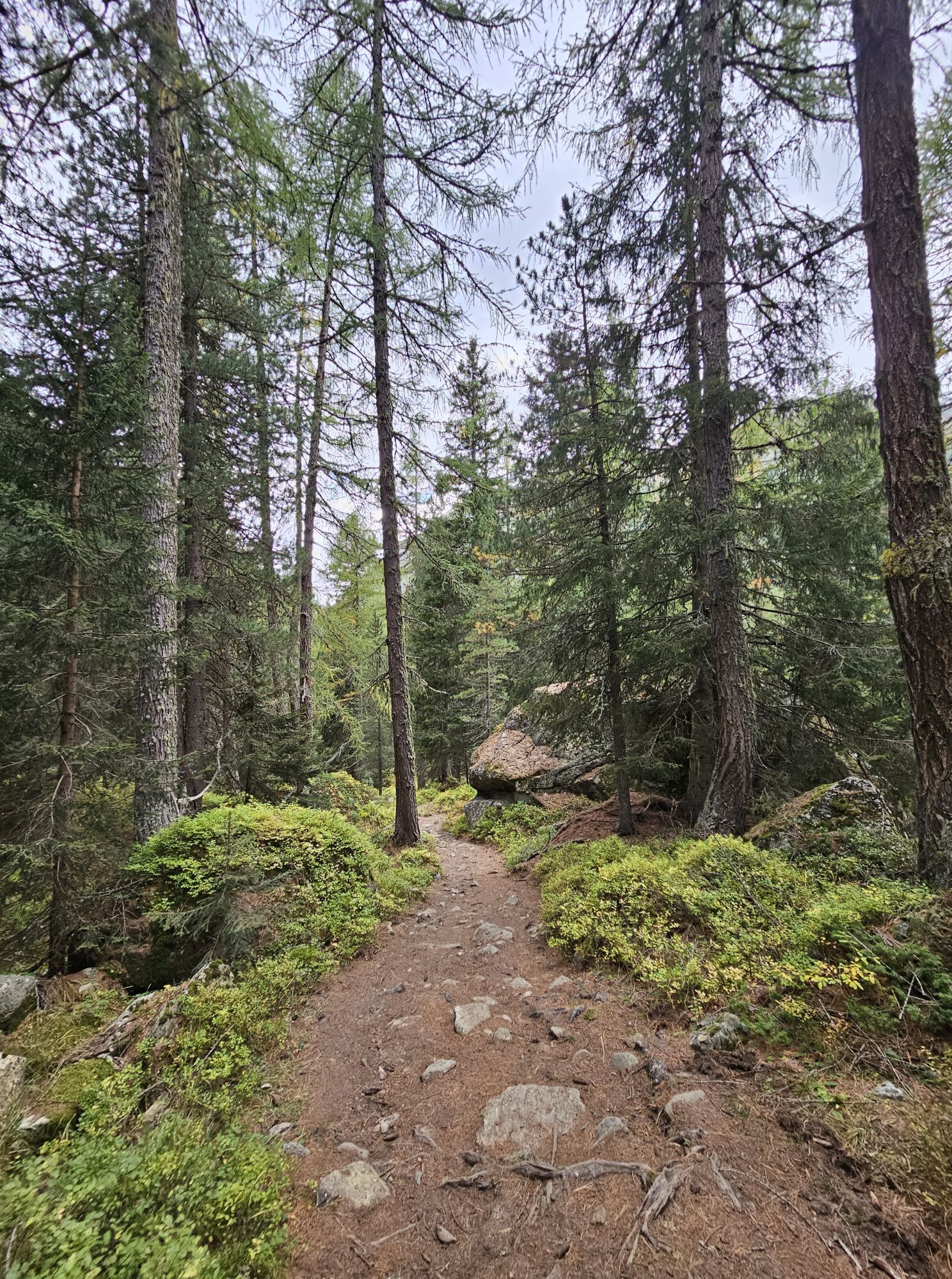
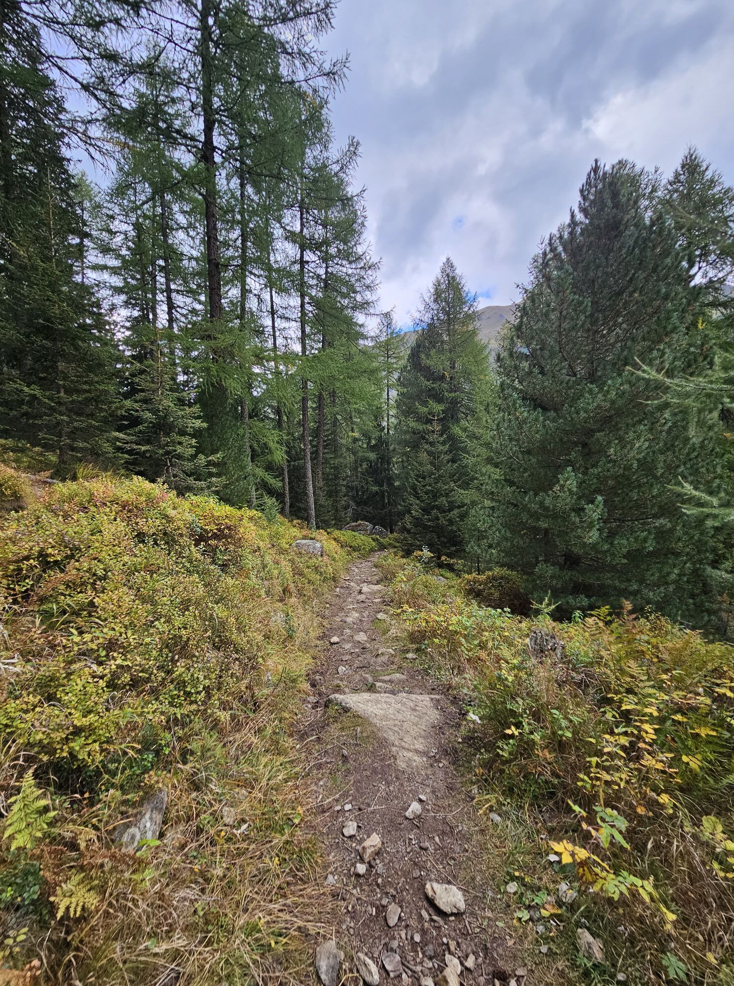
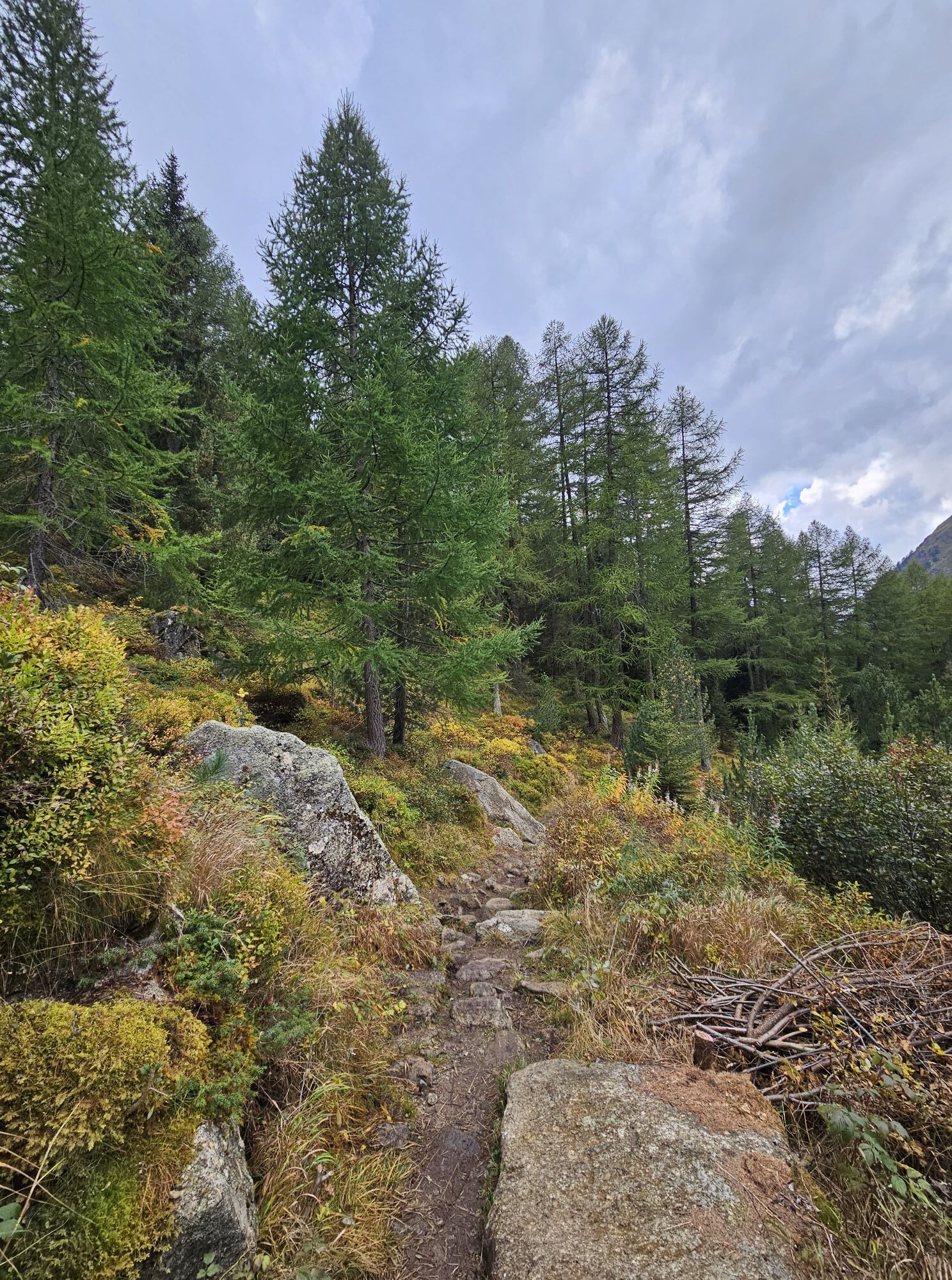
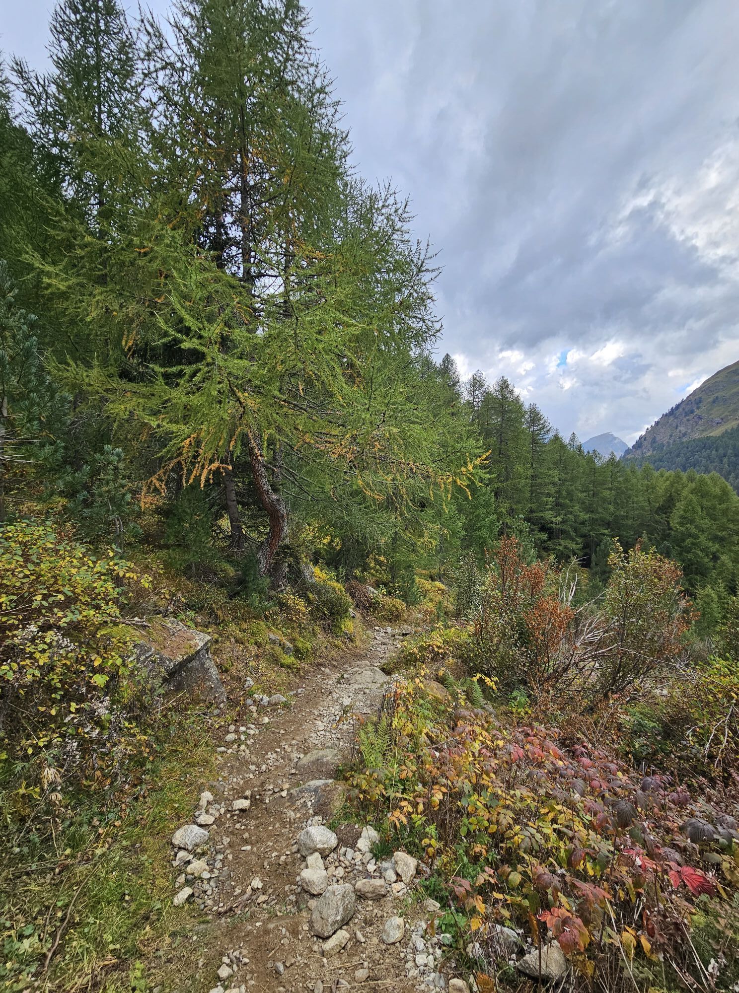
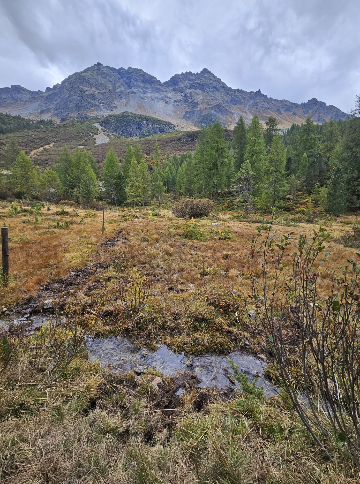
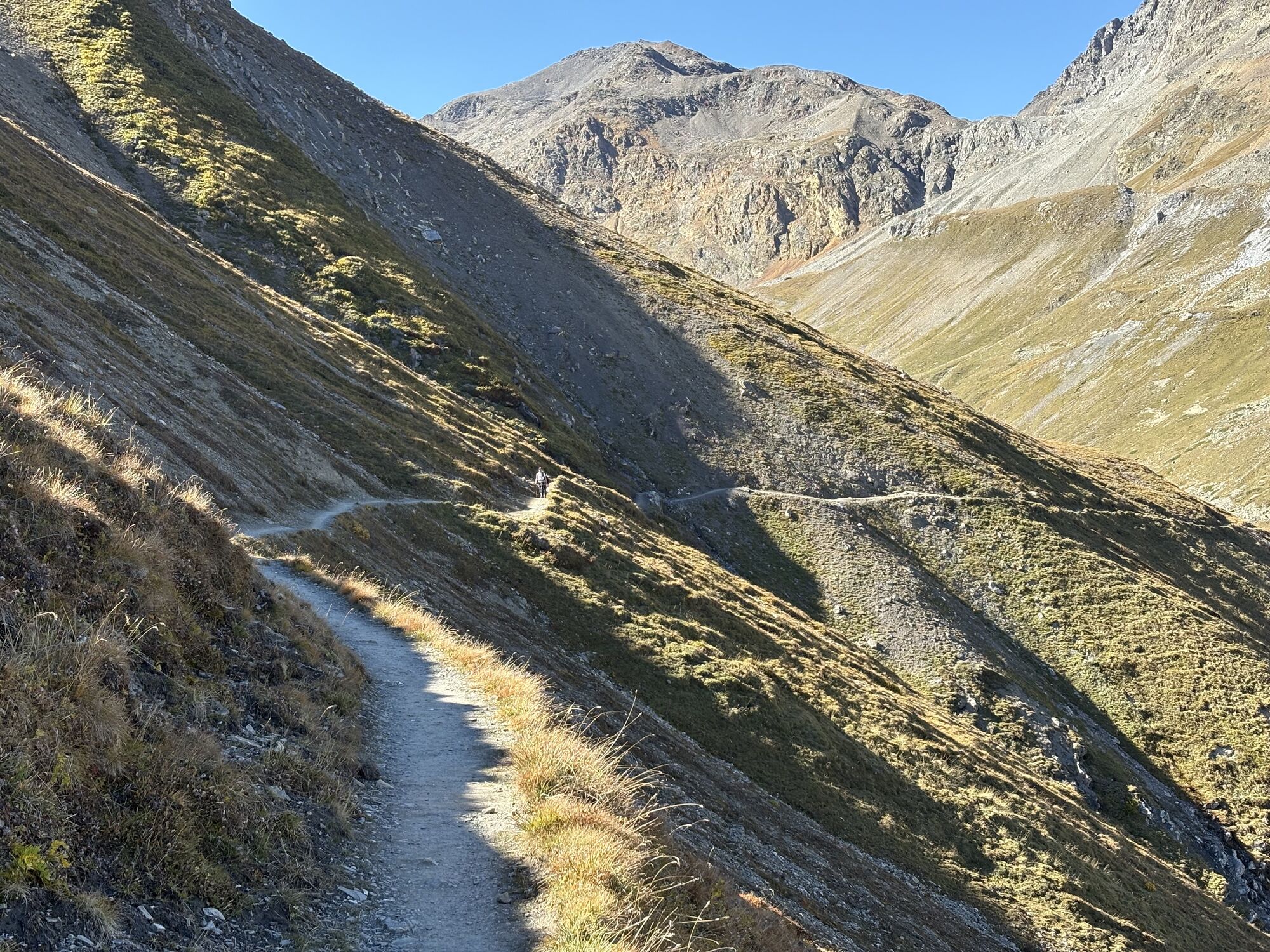
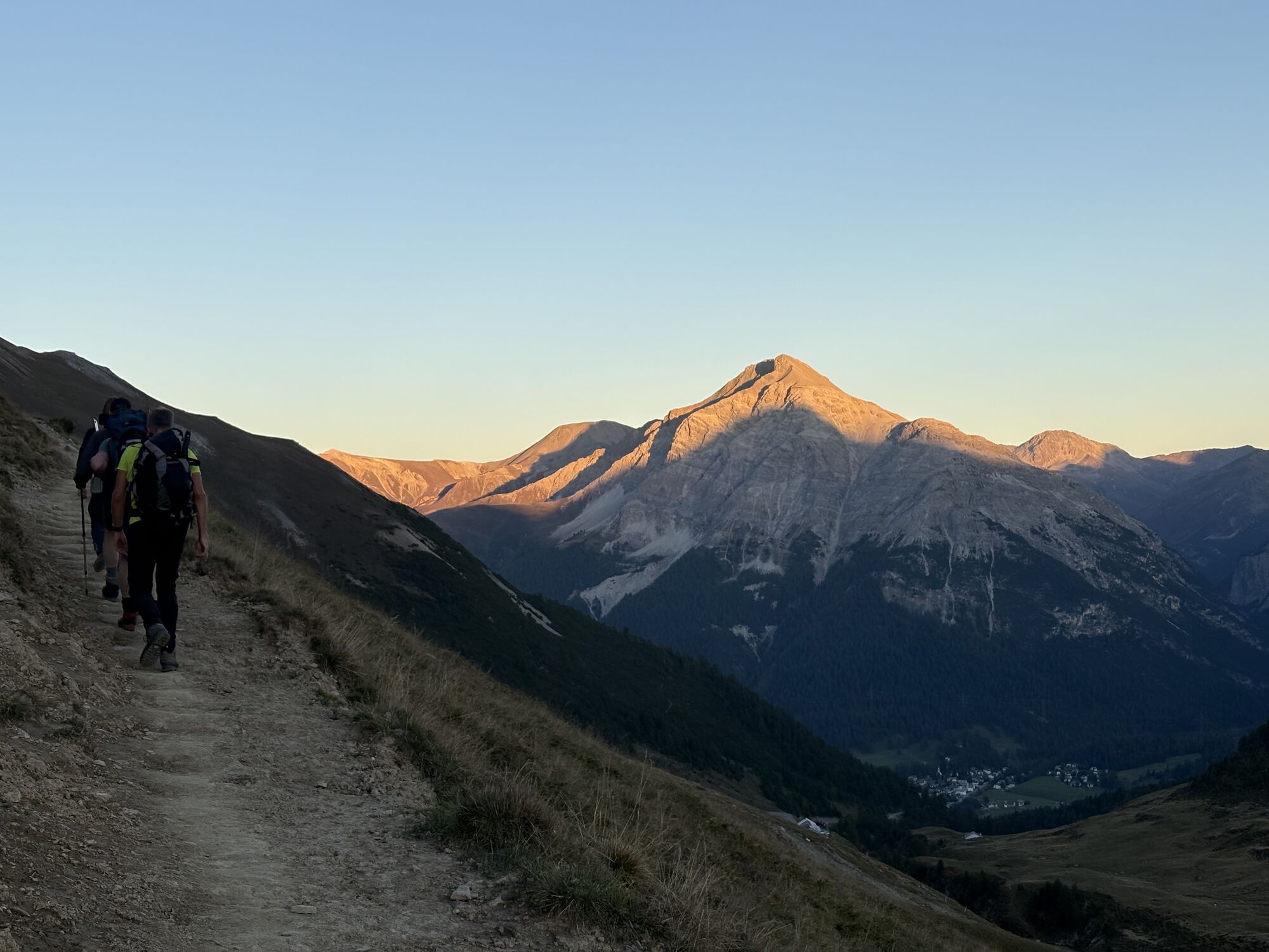
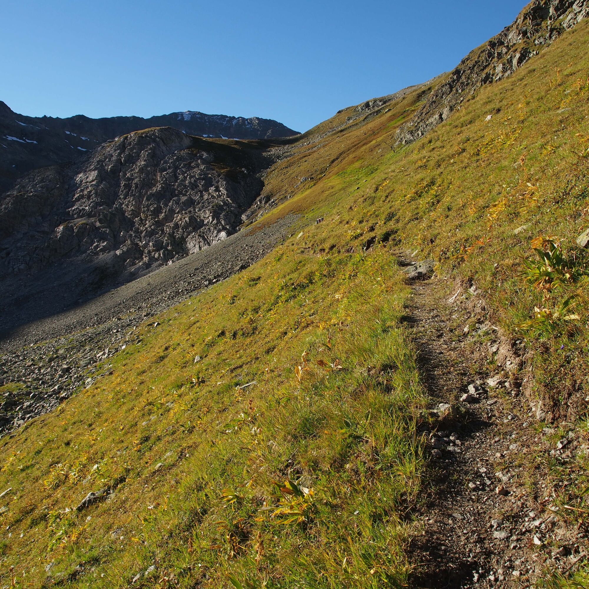
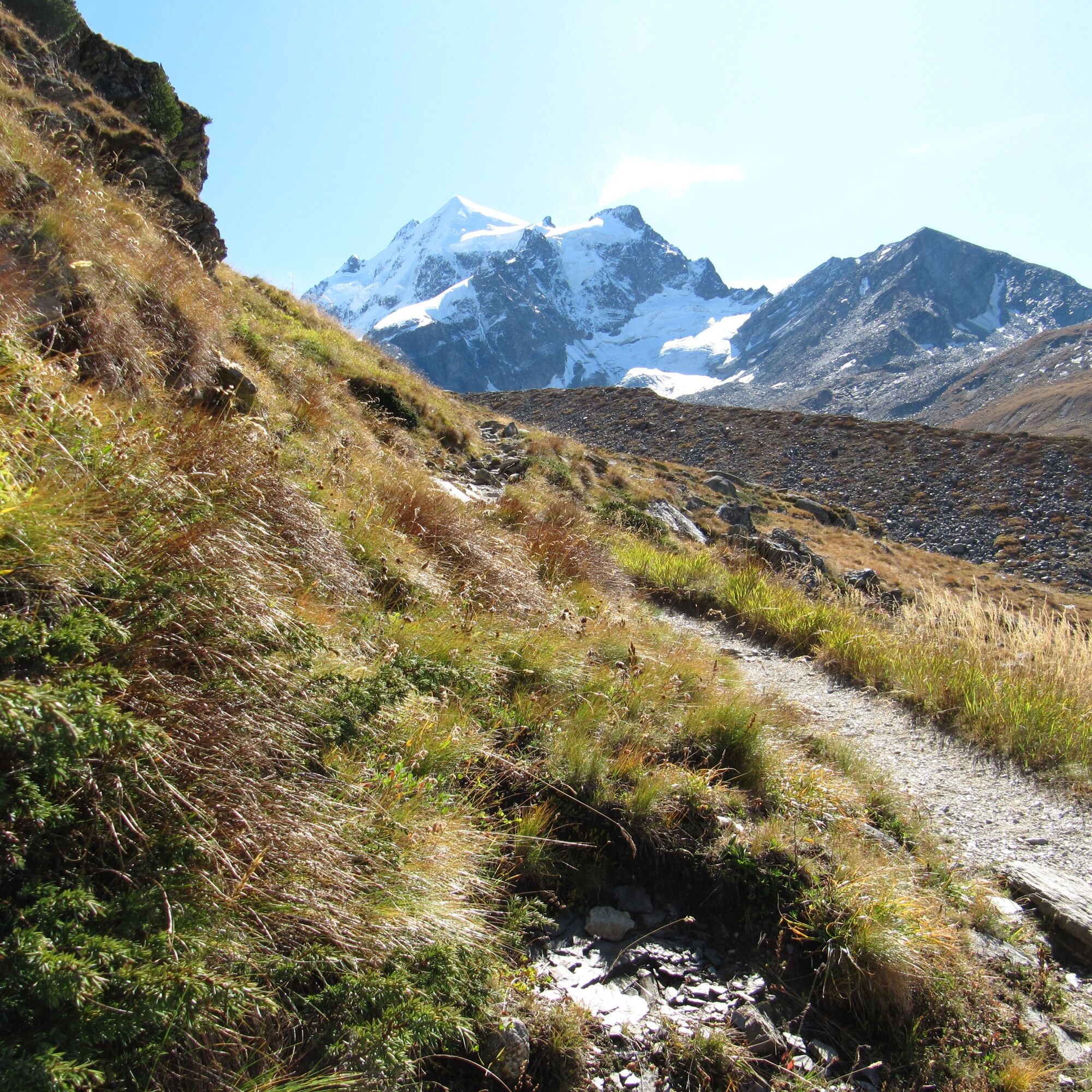
The paths are located at altitudes of over 2900 m above sea level, consisting of both field paths and mountainous hiking trails. The paths are marked according to Swiss hiking trail standards: red-white-red, the stage destinations are indicated on yellow signposts. Very good fitness is required for tours up to 9 hours and up to 1650 meters ascent. Good surefootedness and fear of heights are necessary.
In short: The Bernina Trek classic has medium difficulty (mostly T2) and medium to hard fitness requirement.
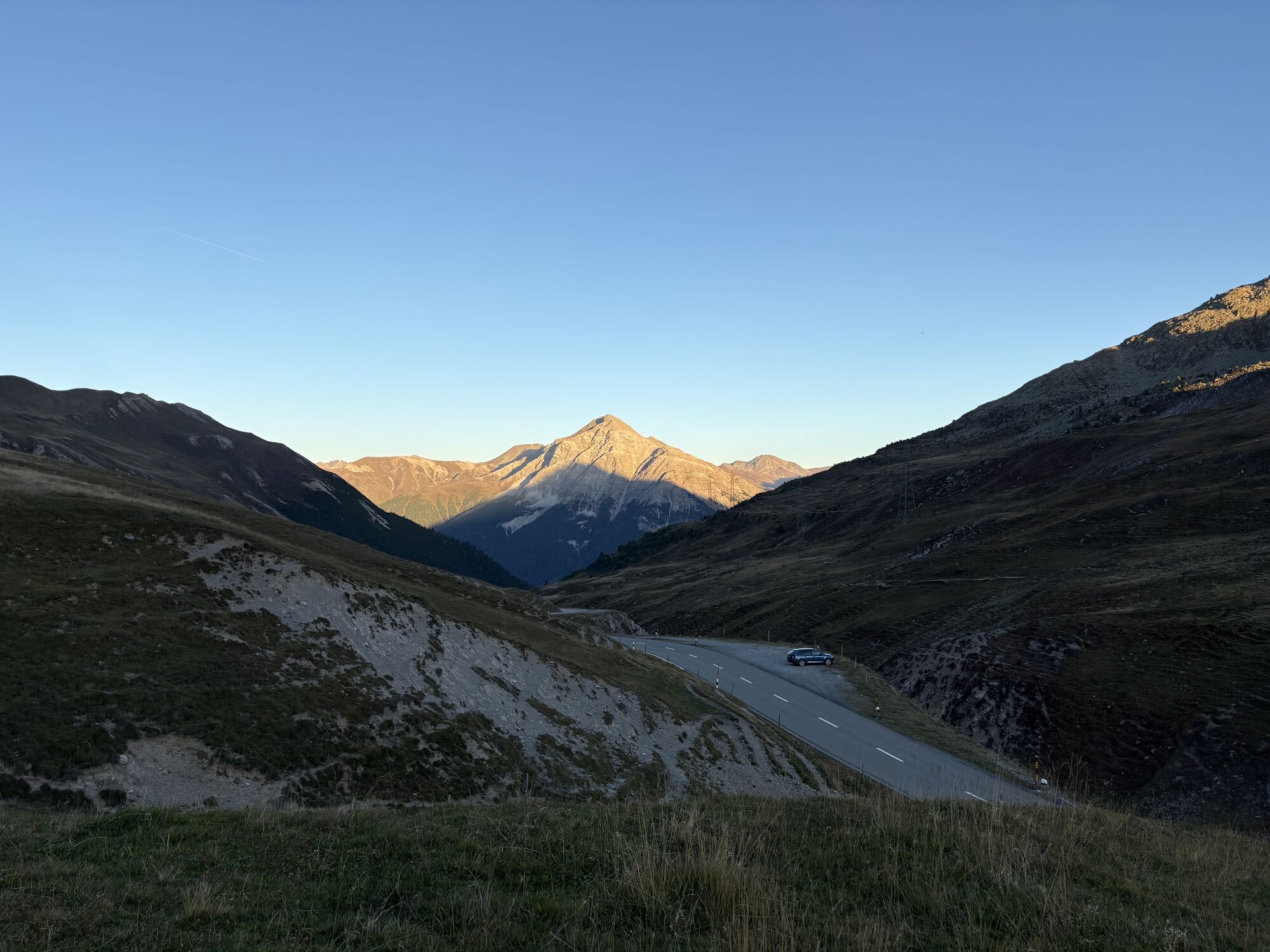
There are very good connections from all over Switzerland and abroad to Chur, from Chur with the Rhaetian Railway to the starting point Madulain (or into Engadin and Puschlav). In Engadin there is also a good and extensive public transport network (Engadinbus and/or RhB), which takes the hiker to the next stage town or can shorten the stage.
Long-term parking is available in Pontresina and St. Moritz Bad, from here with public transport (Engadinbus and/or RhB) to the start of the route. However, driving by private car is not recommended.
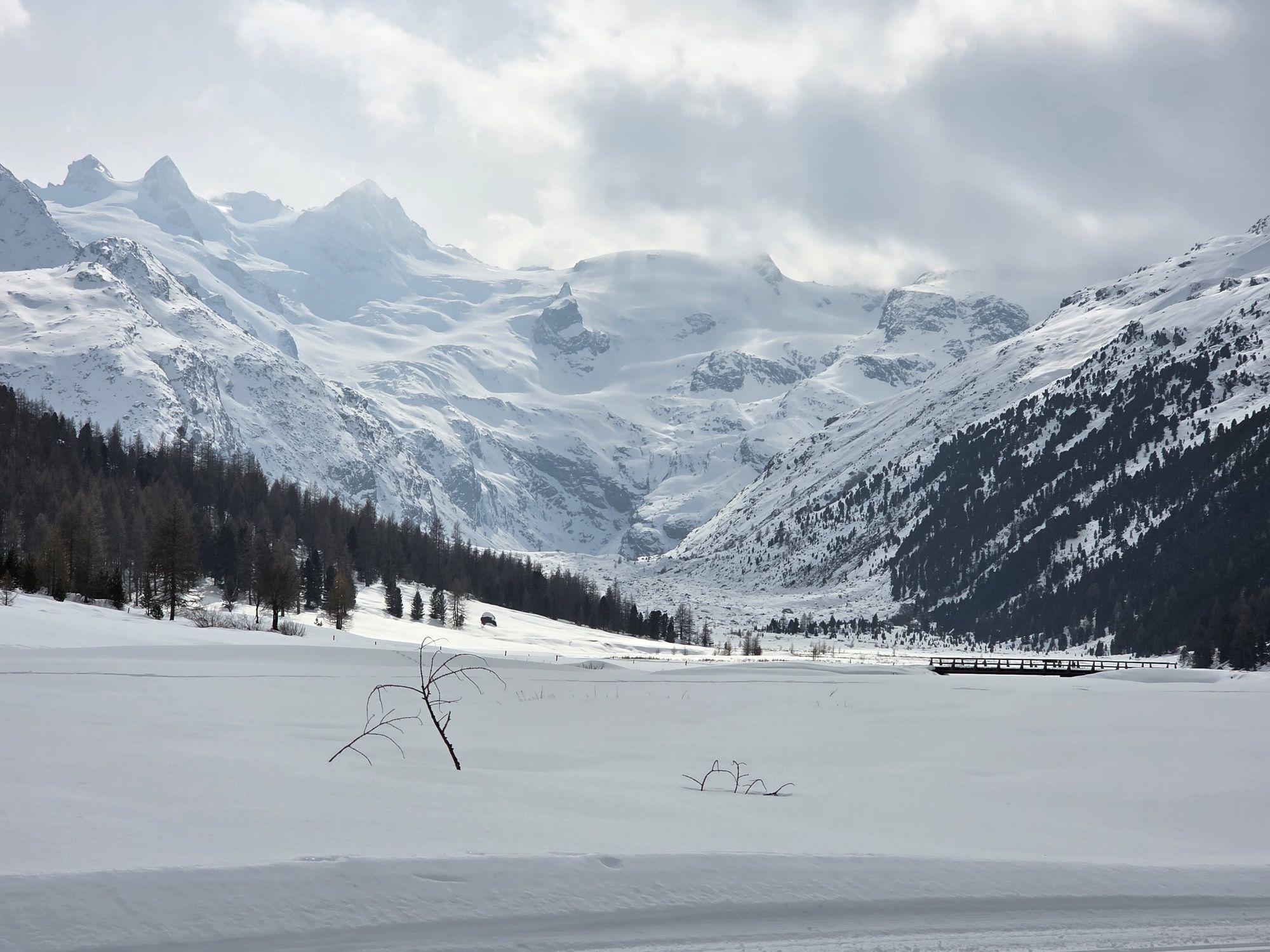
Since in early June there is often still a lot of snow and at the end of October most SAC huts are no longer staffed, the best time to complete the Bernina Trek is from the end of June to early October
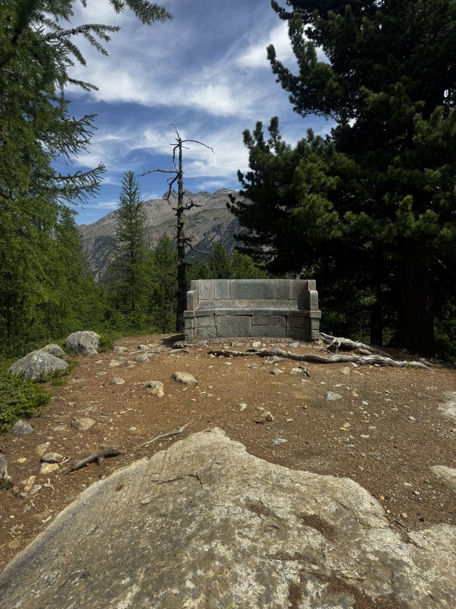
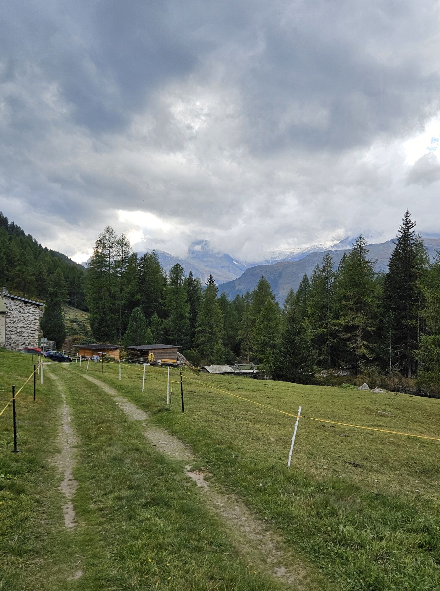
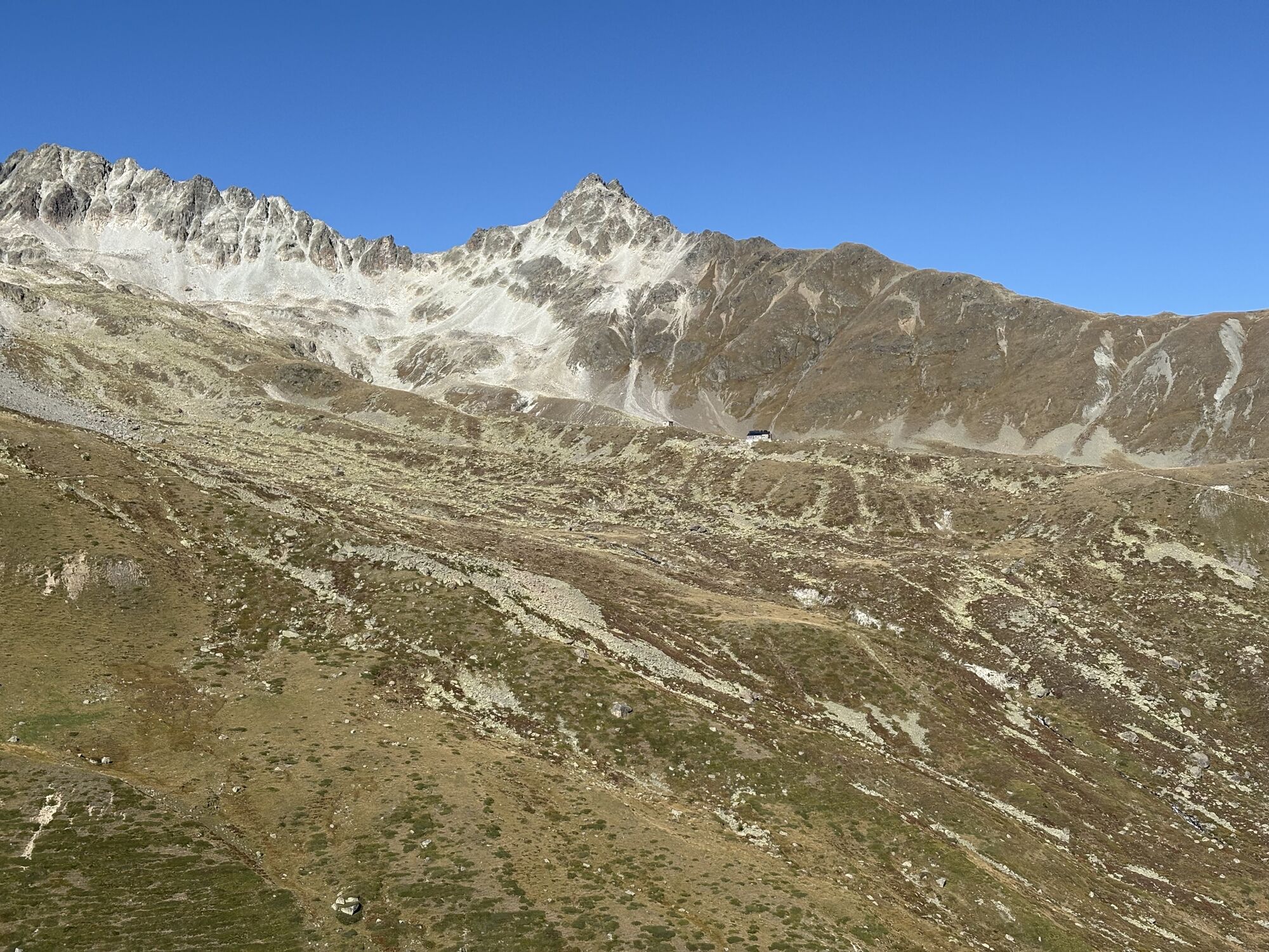
On the multi-day trek there are some sights, including:
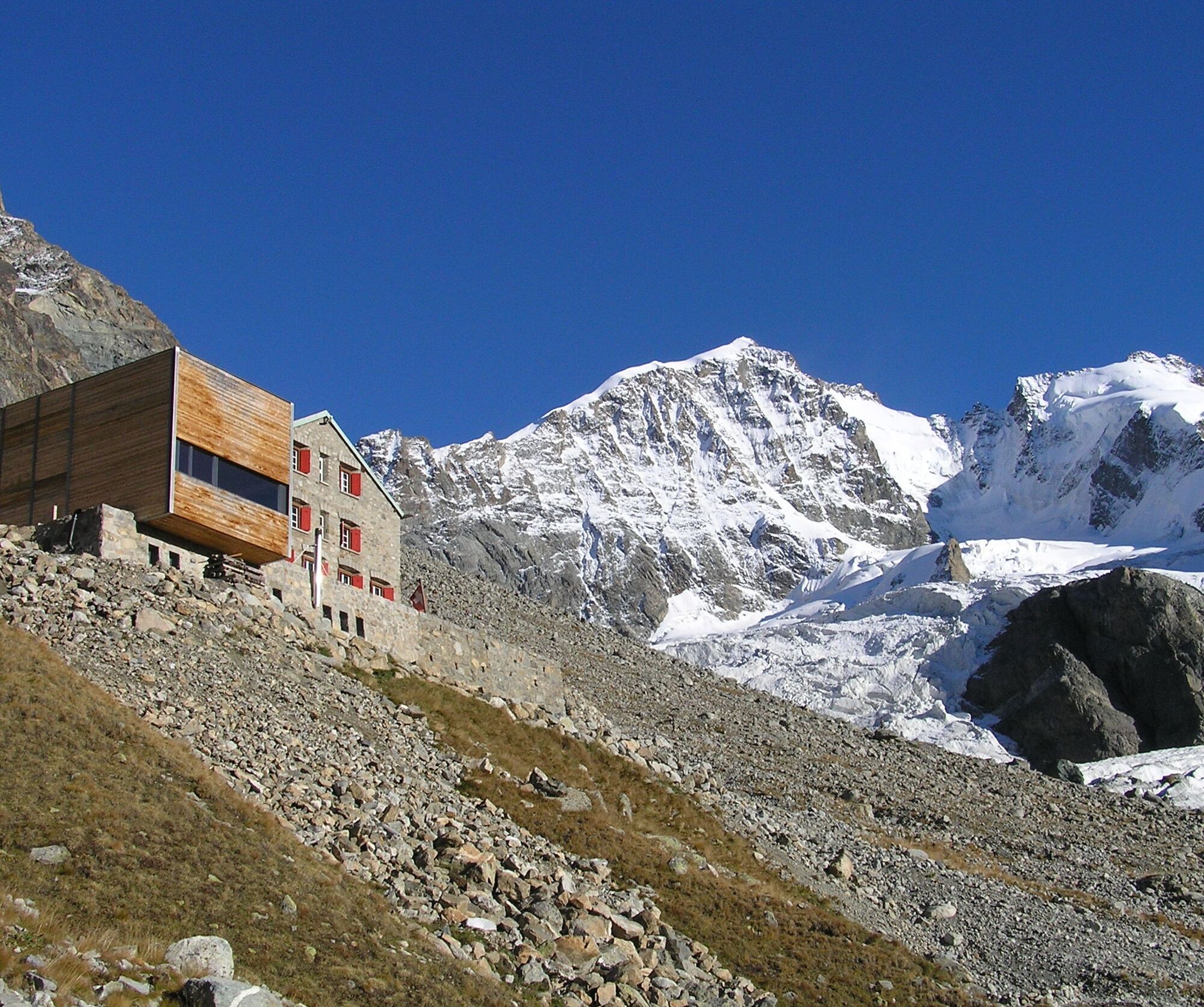
- Chamanna d’Es-cha with the oldest stucco ceiling of a SAC hut (from 1934)
- the Julier area (Chamanna Jenatsch) with its impressive geology
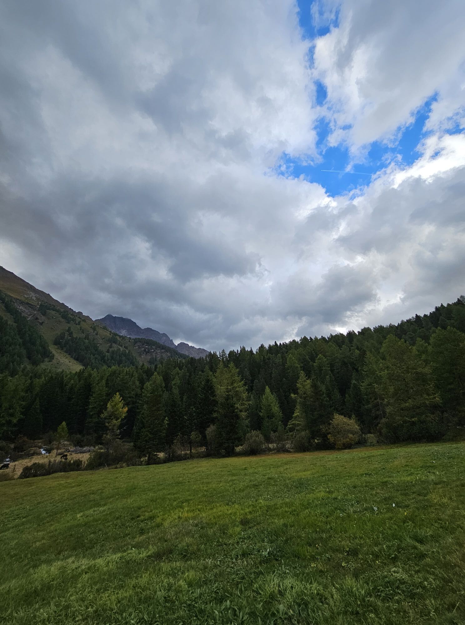
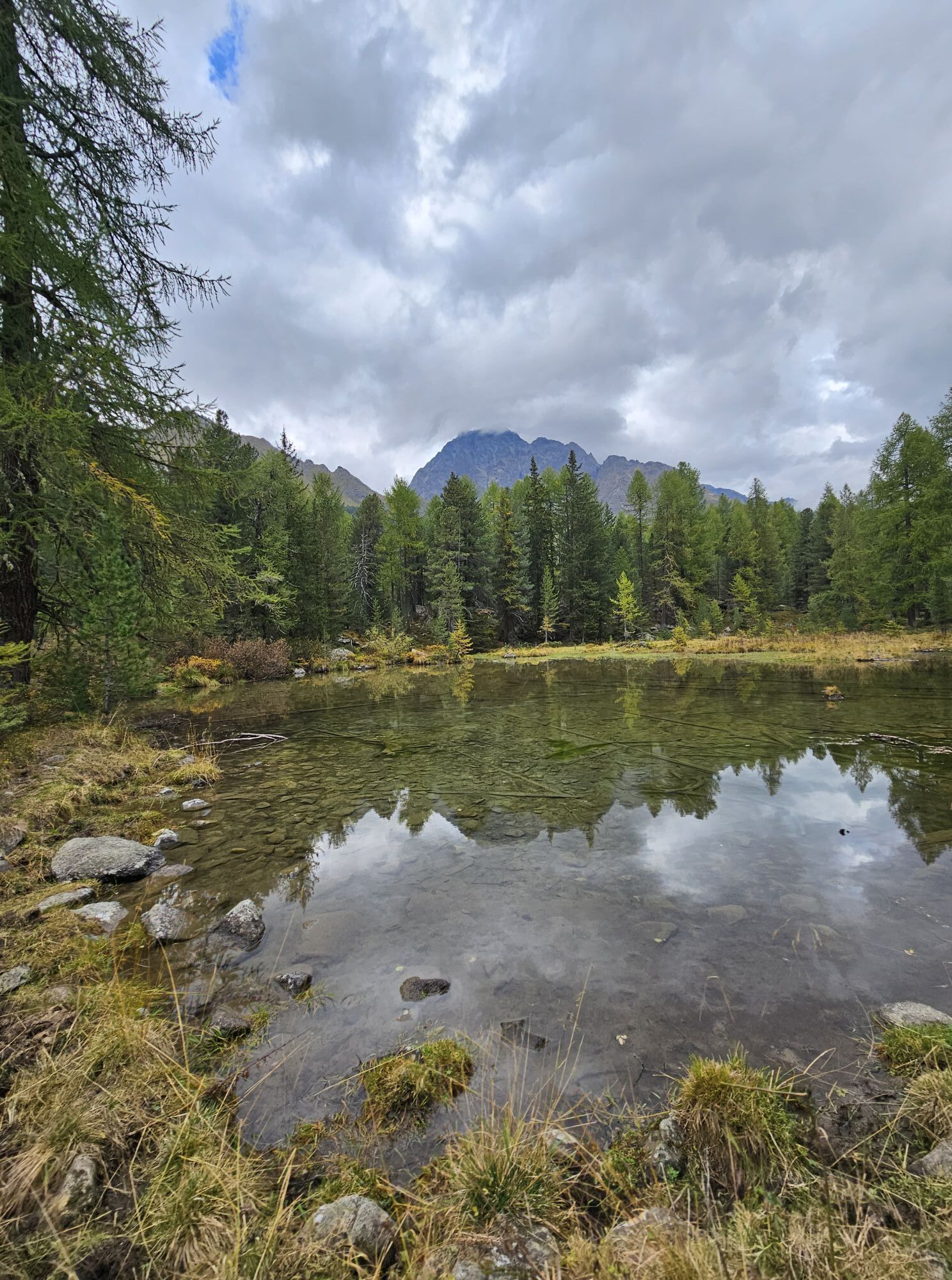
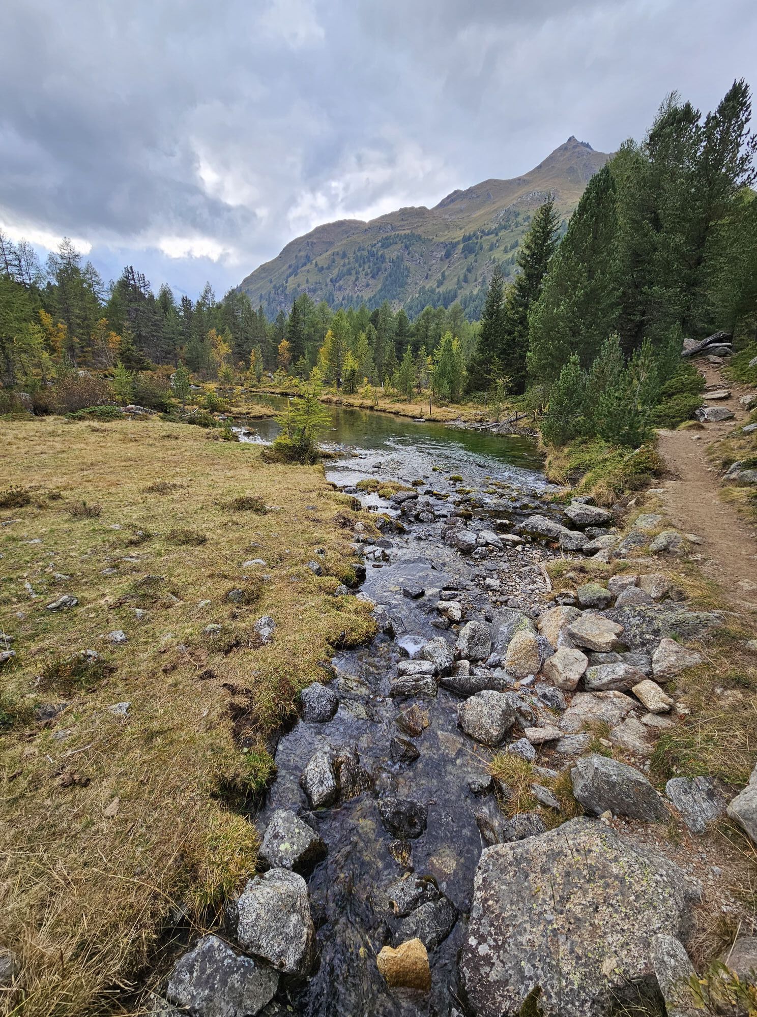
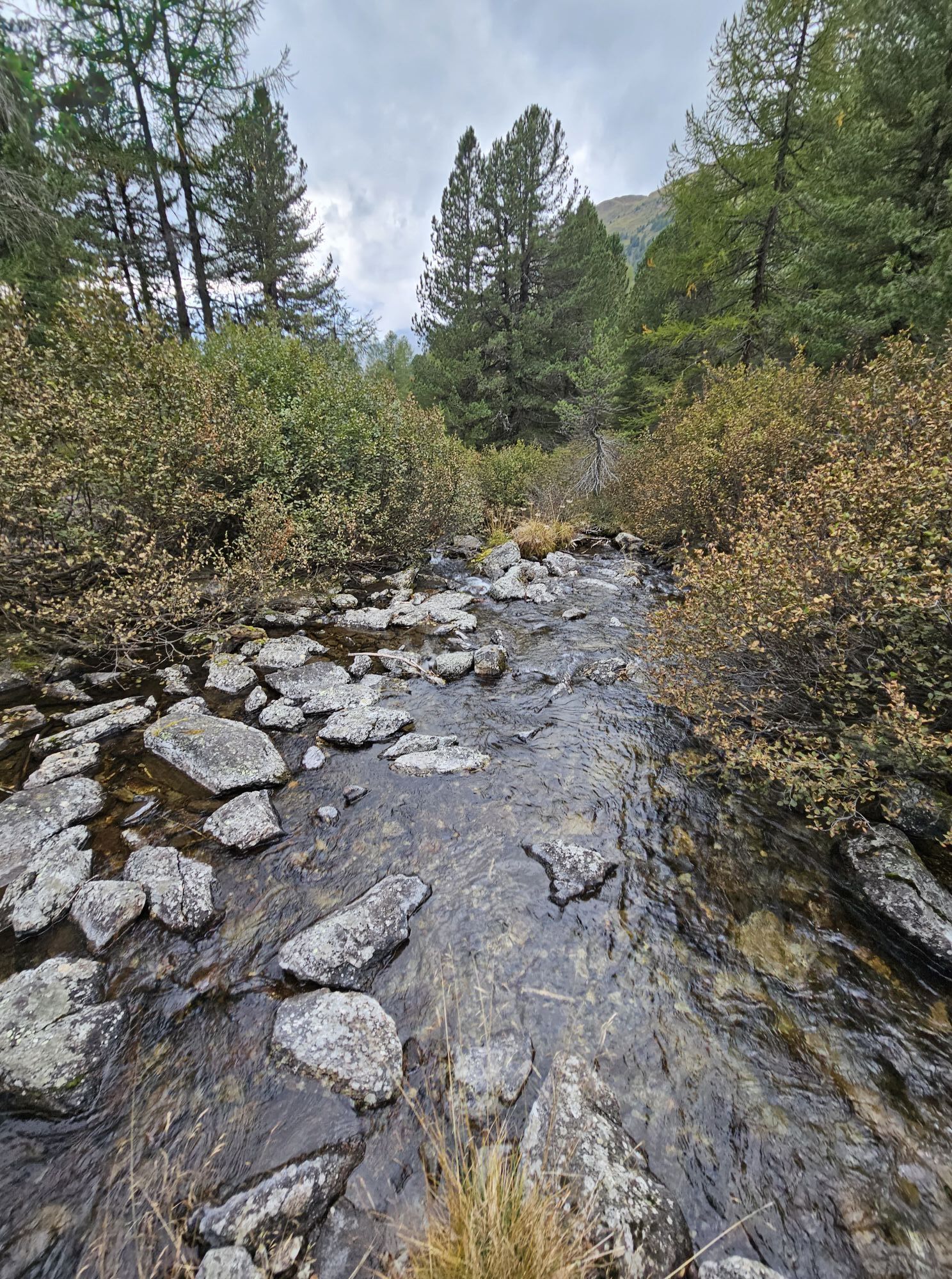
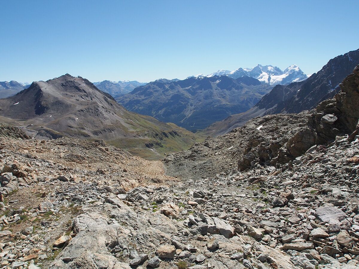
- the lake landscape of the Upper Engadin
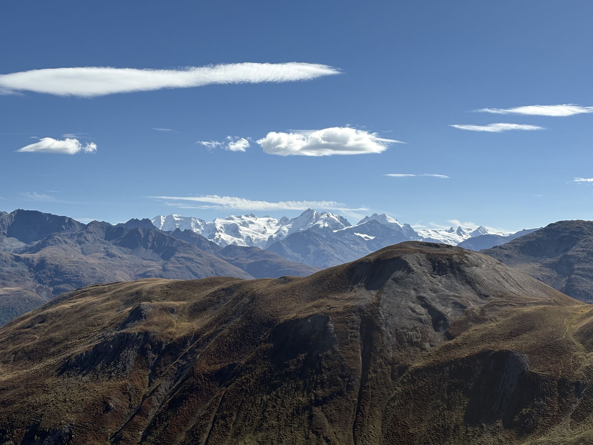
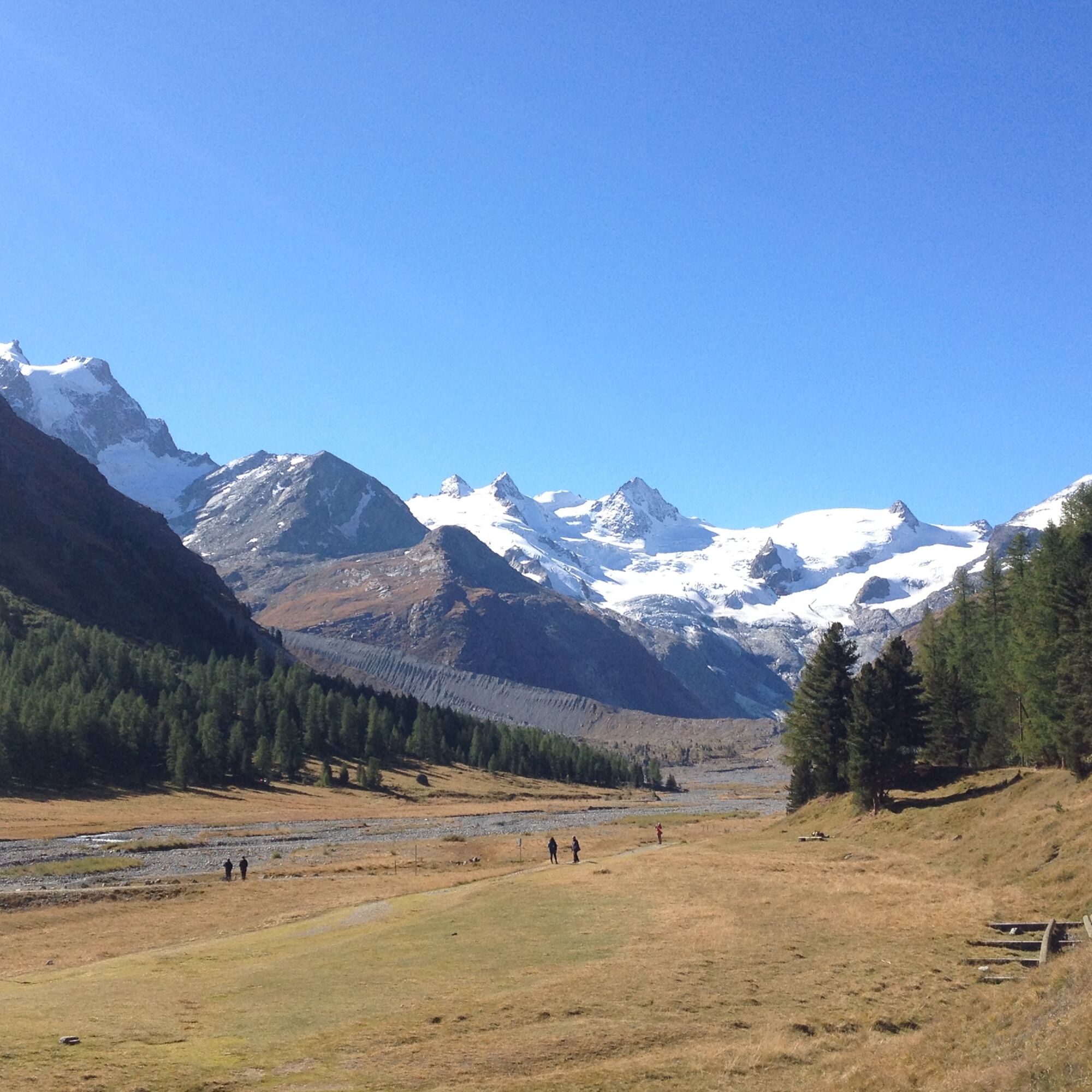
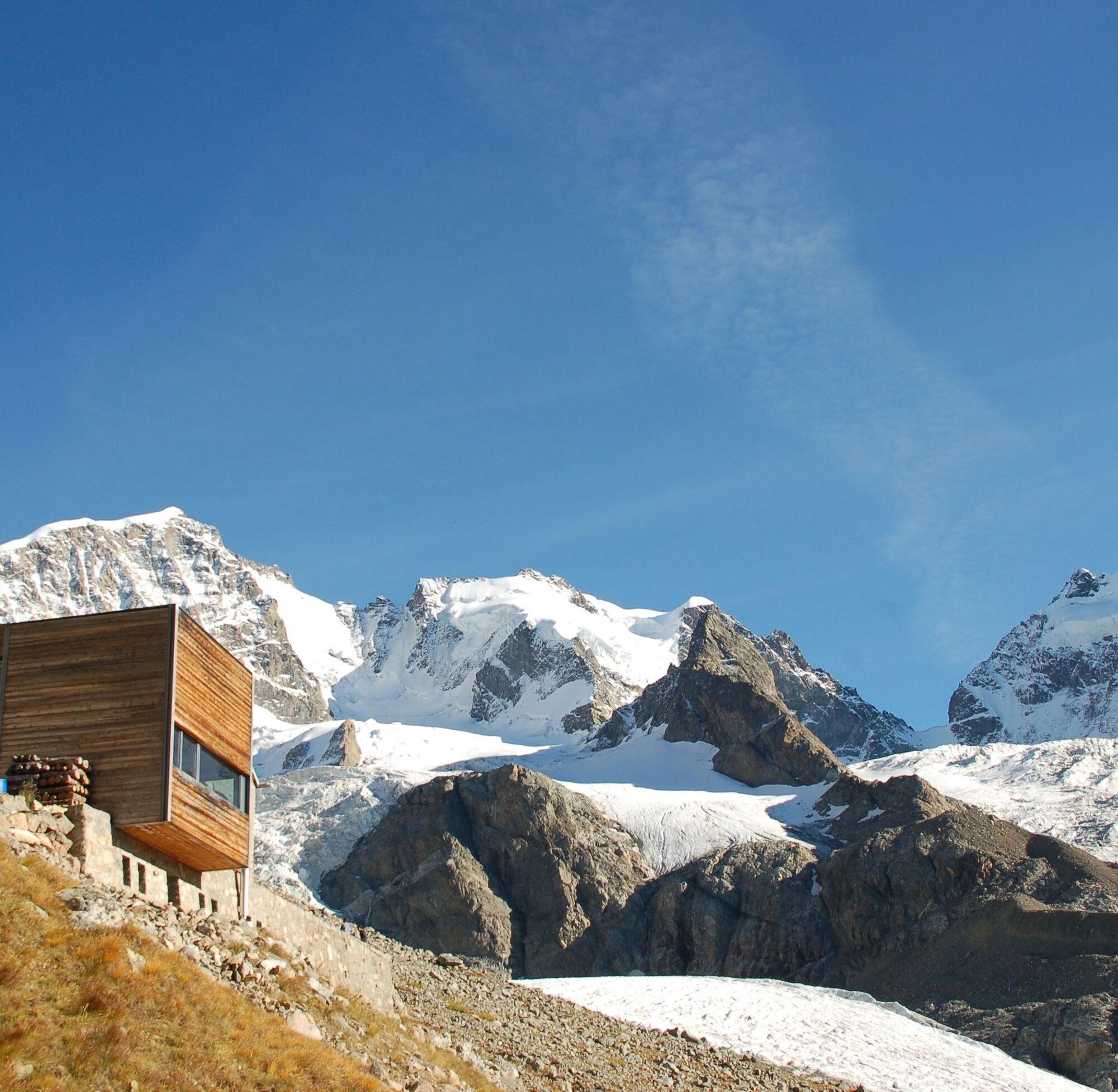
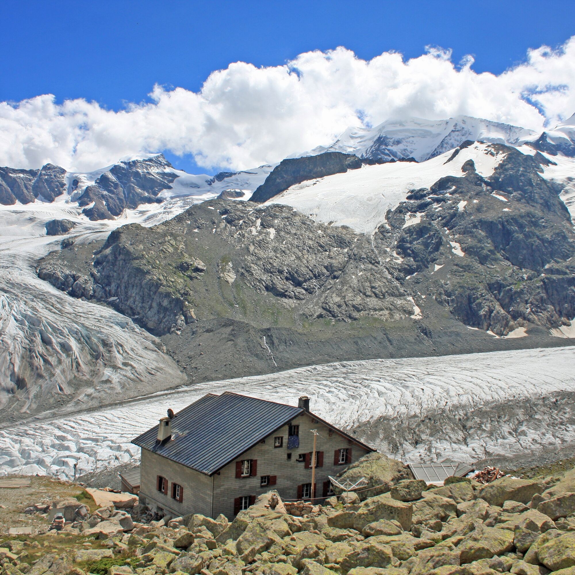
- the (almost) permanent panoramic view of the Bernina region with well-known giants like Piz Palü and Piz Bernina including the world-famous Biancograt
- the section of stage 6 (Pontresina to Lagalb), covered by the Rhaetian Railway (RhB) on the UNESCO World Heritage route
- the lovely and warm Puschlav with its unique Italian atmosphere and inviting piazza.
Spletne kamere s turneje
Corviglia
St. Moritz / Samedan - Muottas Muragl
Camping Morteratsch
Corvatsch
Marguns - Plateau Nair
Silvaplana - Restaurant Mulets
St. Moritz / Samedan - Muottas Muragl
St. Moritz / Samedan - Muottas Muragl
St. Moritz / Samedan - Muottas Muragl
St. Moritz / Samedan - Muottas Muragl
Berninapass
Corviglia
Corviglia
Corviglia
Corviglia
Corviglia
Corviglia
Sils - Hotel Waldhaus
Corviglia
Valgrosina - Rifugio Malghera
Valgrosina - Rifugio Malghera
Diavolezza Bergstation
Diavolezza Bergstation
Diavolezza Bergstation
Diavolezza Bergstation
Diavolezza Bergstation
Diavolezza Bergstation
Diavolezza Bergstation
Corvatsch
Corvatsch
Corvatsch
Corvatsch
Corvatsch
Corvatsch
Sassalbo
Diavolezza Bergstation
Celerina - Cresta Palace
Samedan - Roseg Gletscher
Piz Nair - St. Moritz
Zuoz
Priljubljeni izleti v okolici
- 5,0
Morteratsch station - Boval Hut
srednjaPohodništvo 10,5 km - 4,7
Diavolezza - Munt Pers
svetlobaPohodništvo 3,82 km - 4,6
Panoramic route Muottas Muragl
svetlobaPohodništvo 6,75 km - 5,0
Muottas Muragl - Segantini hut - Pontresina
srednjaPohodništvo 6,46 km - 4,5
Pontresina - Val Roseg - Pontresina
svetlobaPohodništvo 13,8 km - 4,7
SAC Tschierva
svetlobaPohodništvo 24,7 km - 4,7
Morteratsch Glacier route
svetlobaTematska pot 2,88 km - 4,3
Piz Palü (3.905m) – Hochtour
srednjaVisokogorska tura 13,4 km Muottas Muragl - Segantini Hütte - Pontresina
srednjaPohodništvo 17,5 km- 5,0
Lagalb - Val Minor - Motta Bianca - Lagalb
srednjaPohodništvo 9,80 km
Pohodništvo in sledenje


Ne zamudite ponudb in navdiha za naslednje počitnice
Vaš e-poštni naslov je bil dodan na poštni seznam.