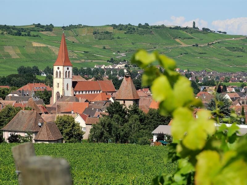
Navigacija po spletni strani
Pridobite to turo v svoj mobilni telefon
Zemljevid
Andlau- Eguisheim
težko
Pohodništvo
61.20 km
Skenirajte kodo QR in začnite navigacijo v aplikaciji bergfex.
QR Code
Pohodništvo in sledenje
Prenos za iOS
Prenos za Android

Andlau- Eguisheim

Razdalja
61.20 km
Trajanje
16:50 h
Ascent
1,236 hm
Morska gladina
190 - 422 m

Stopnja težavnosti: T1

Prenos skladbe
Zemljevid
Andlau- Eguisheim
težko
Pohodništvo
61.20 km

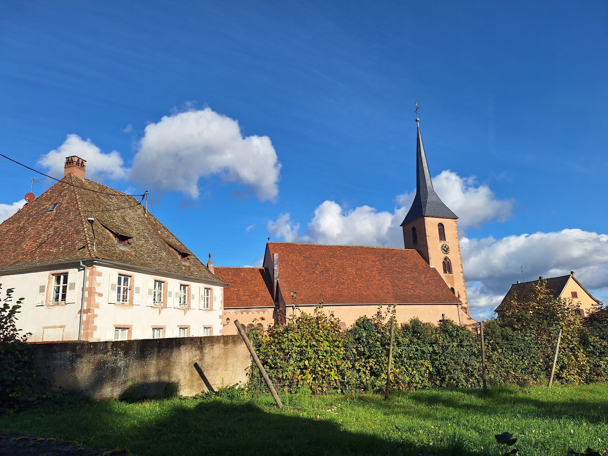
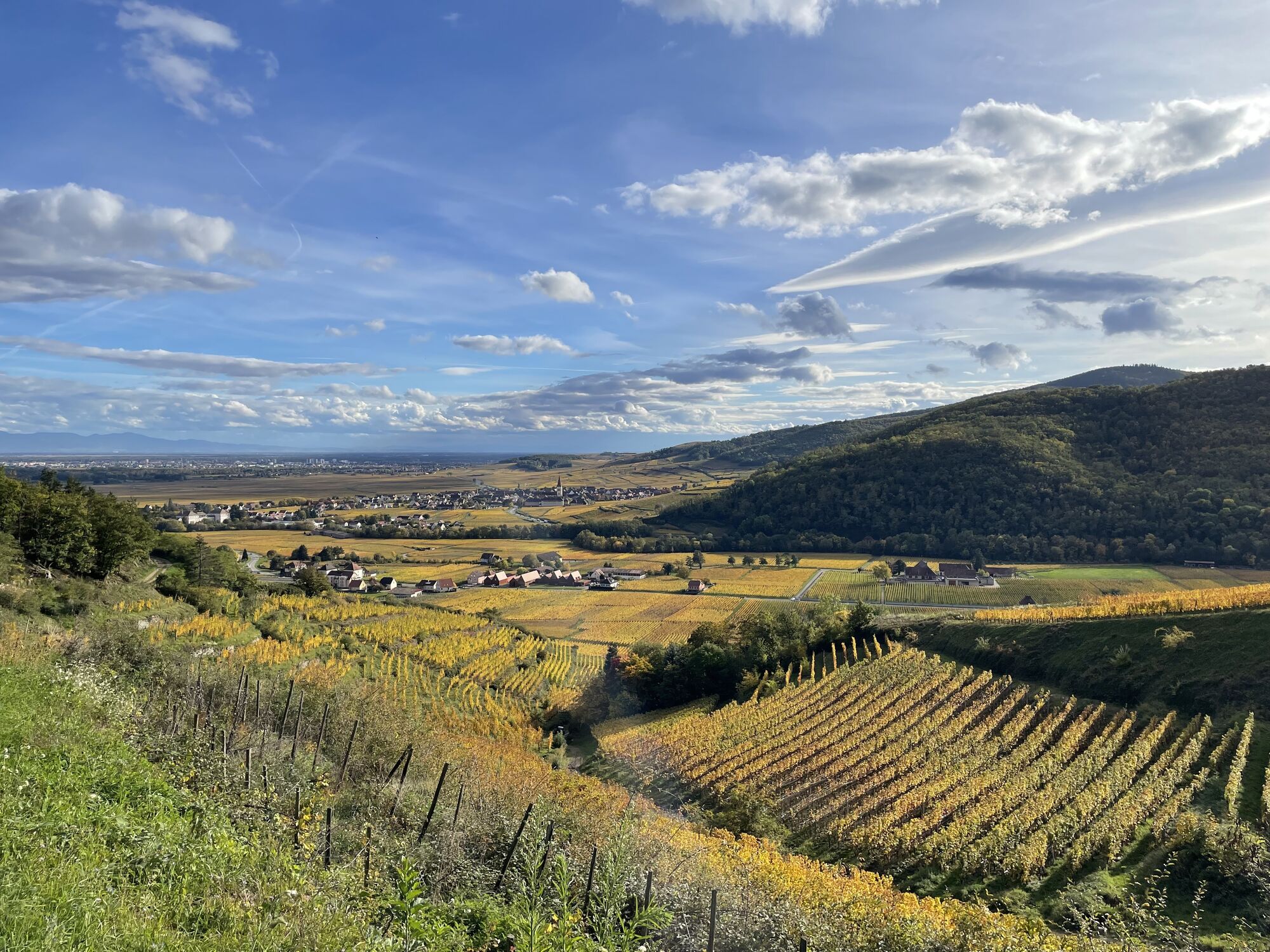
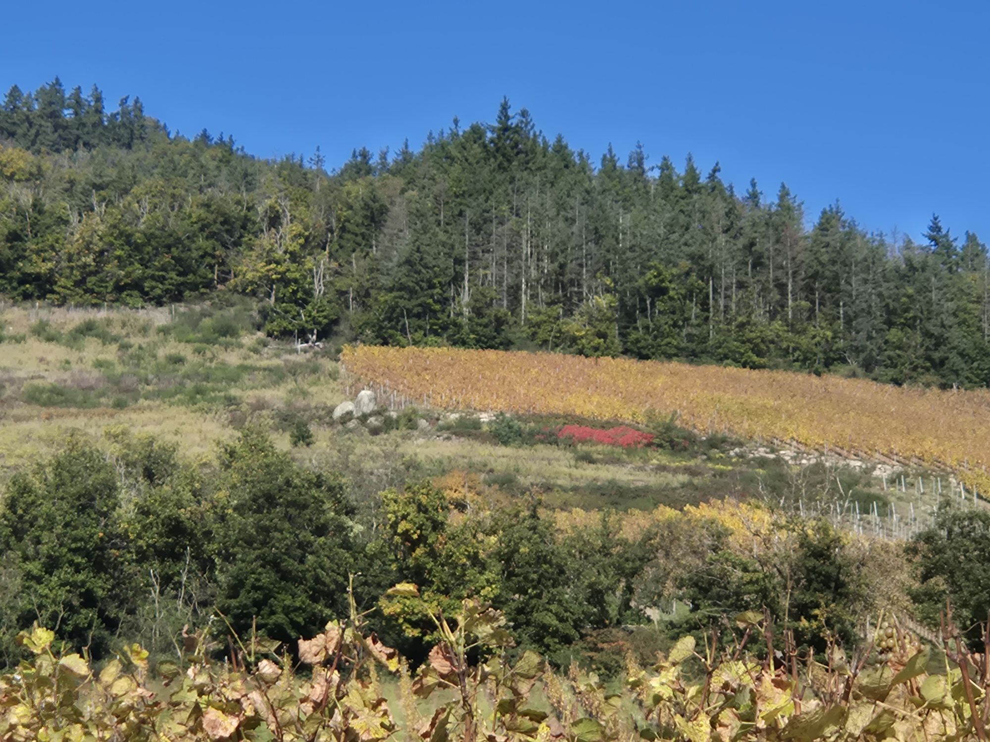
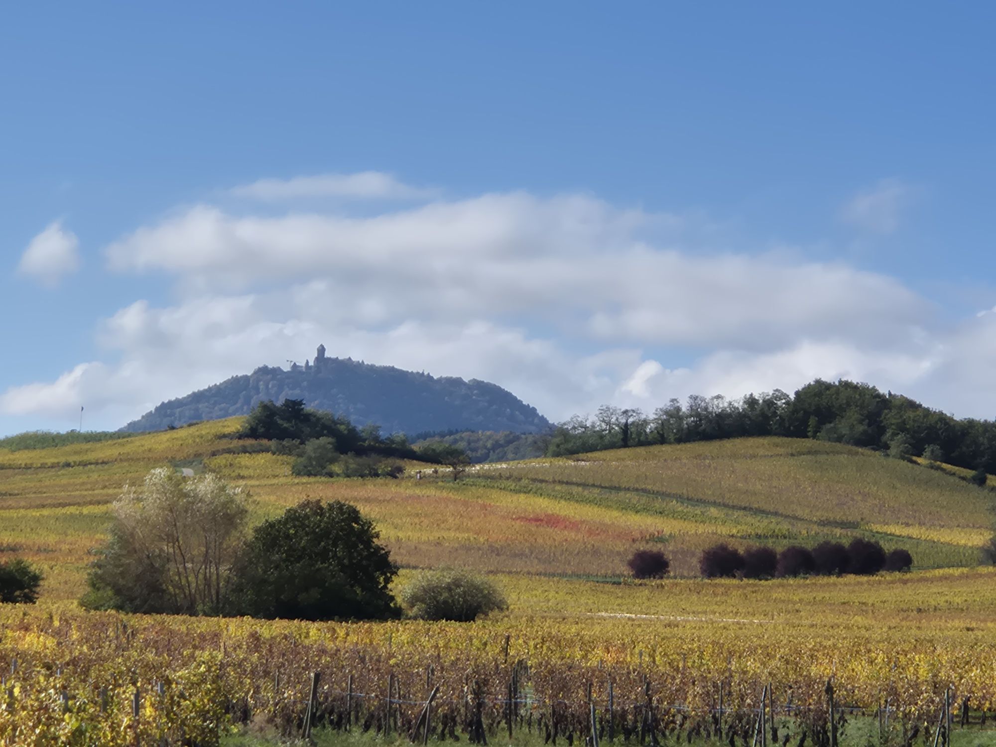
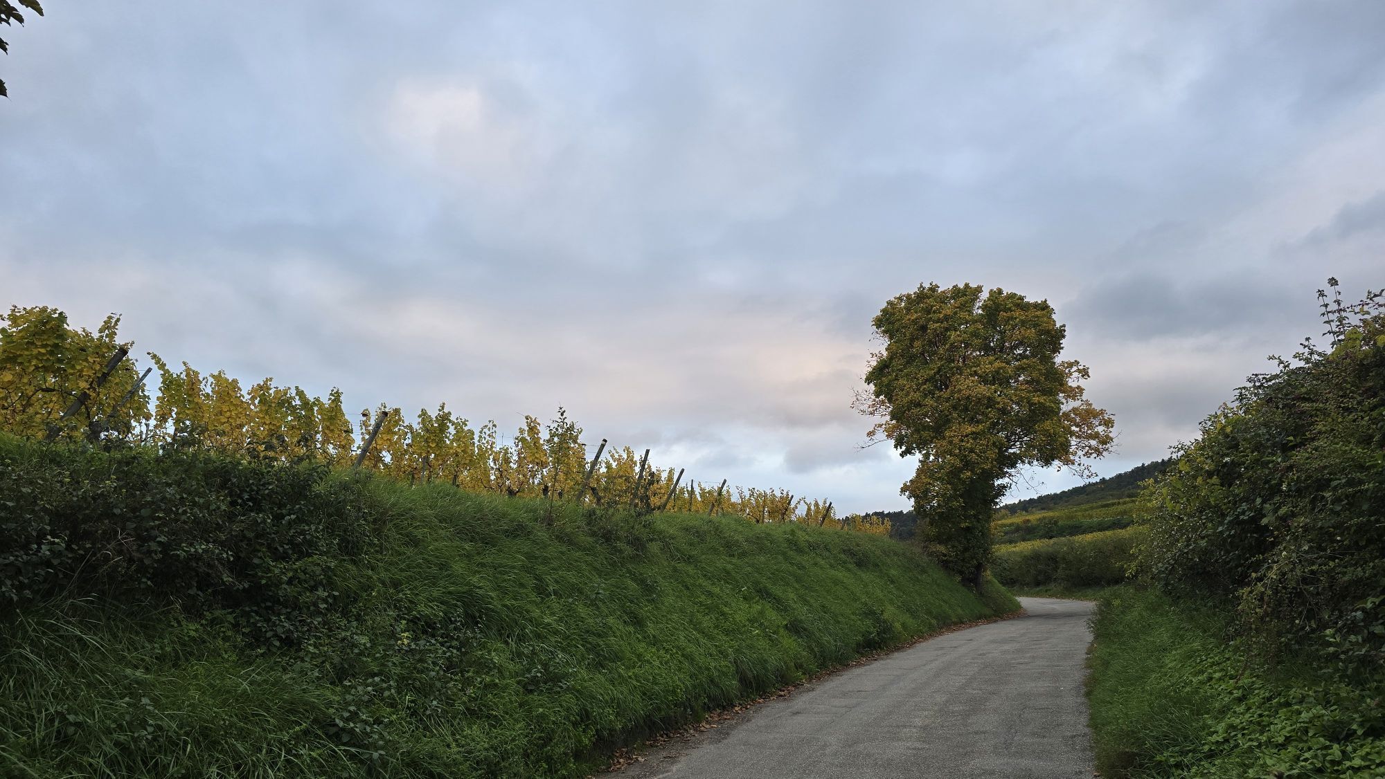
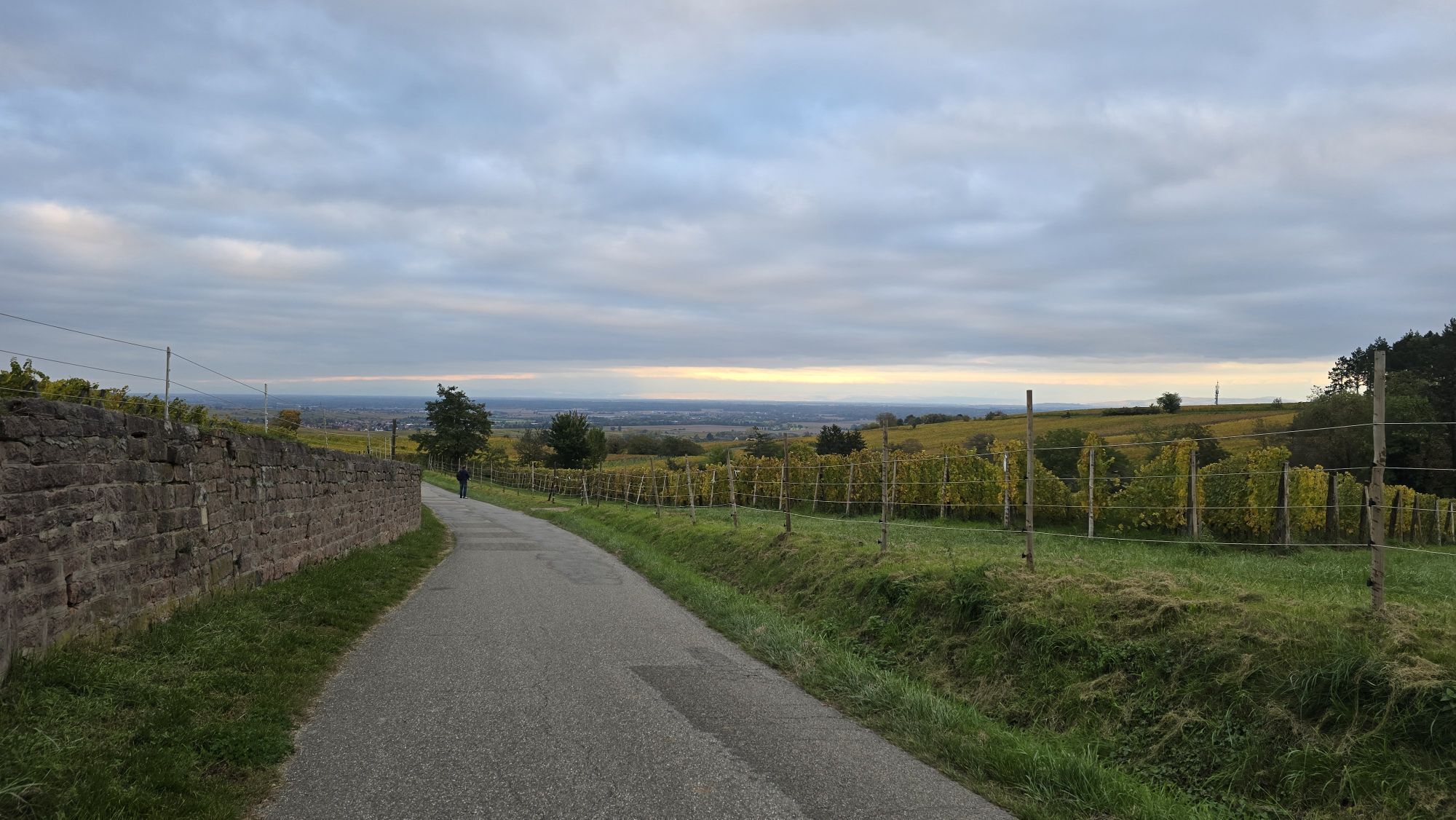
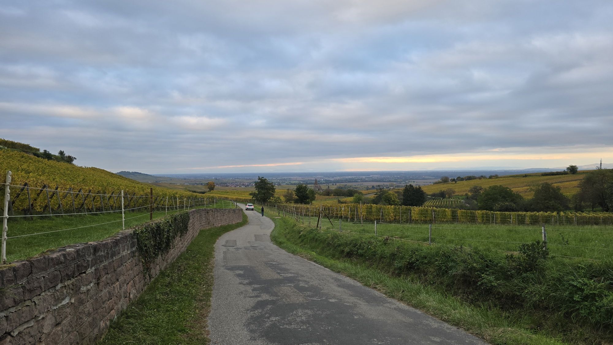
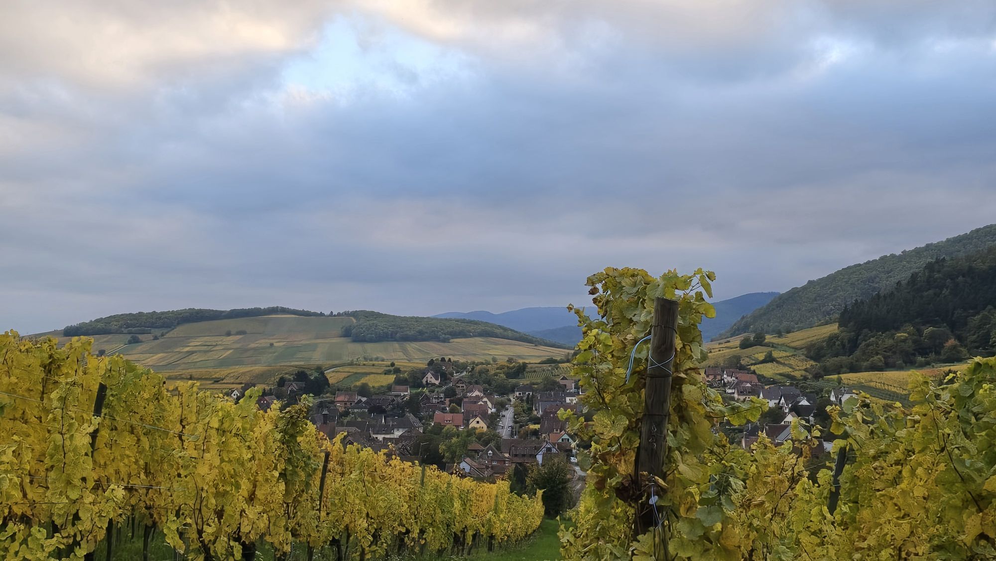
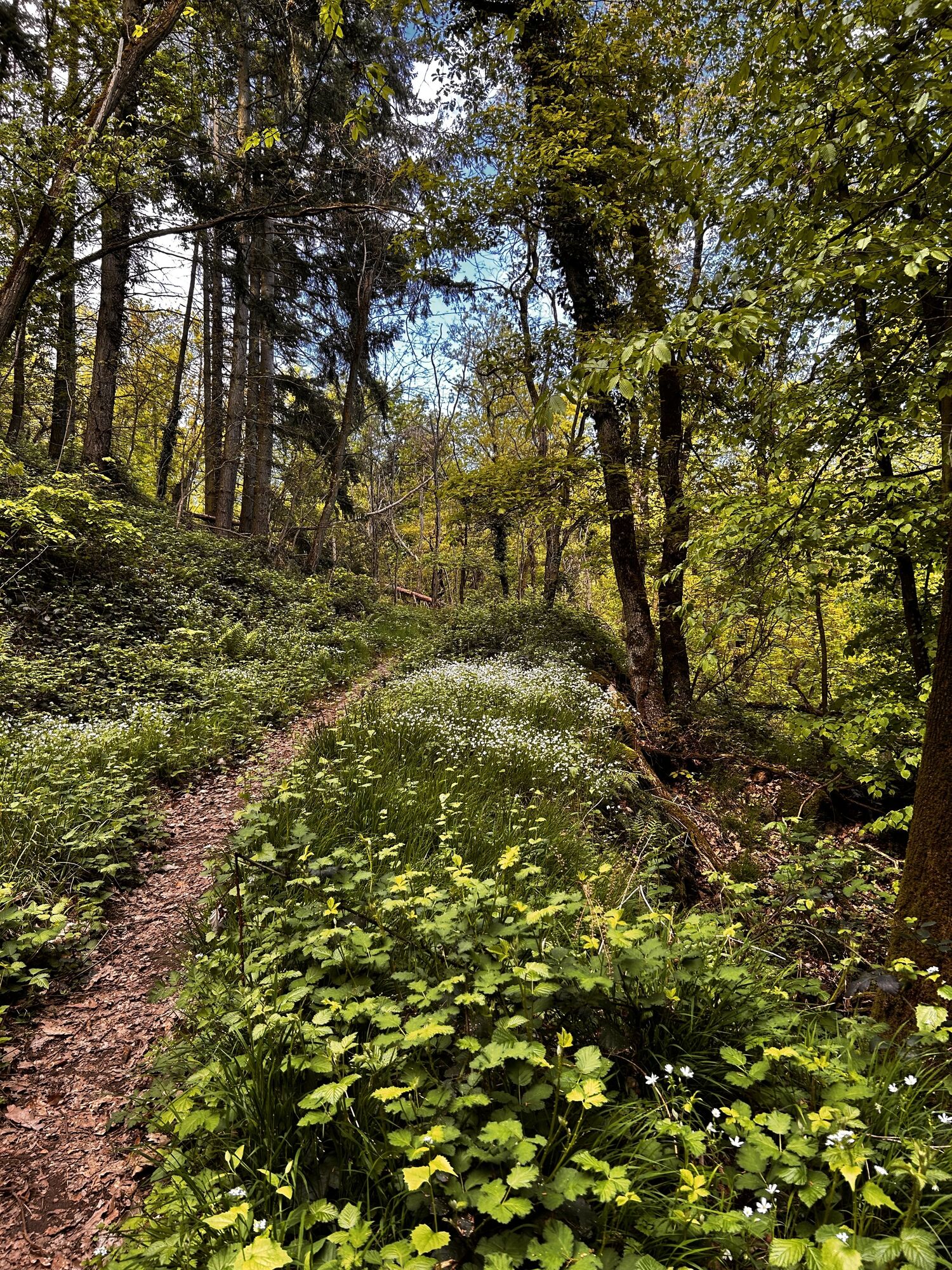
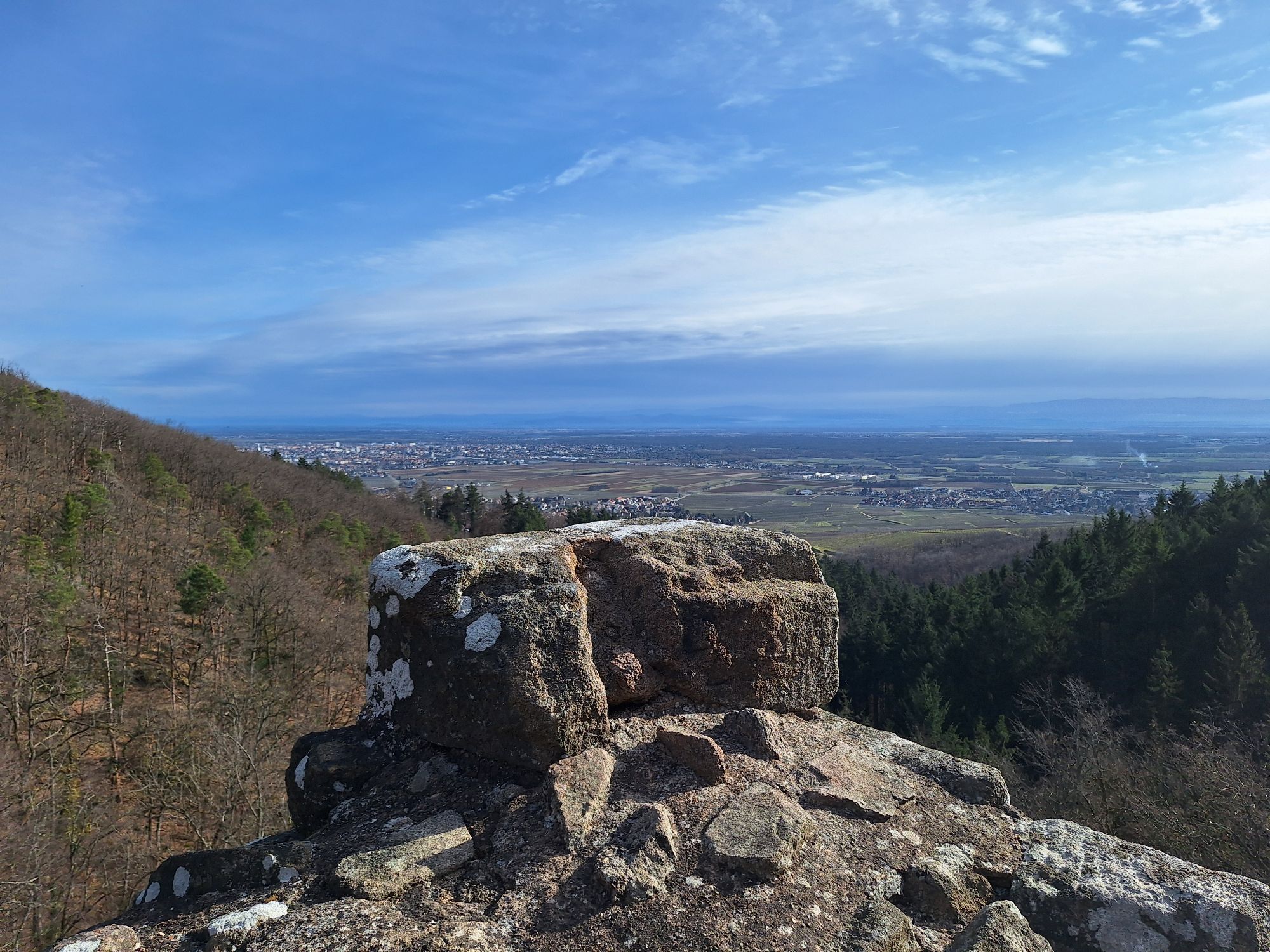
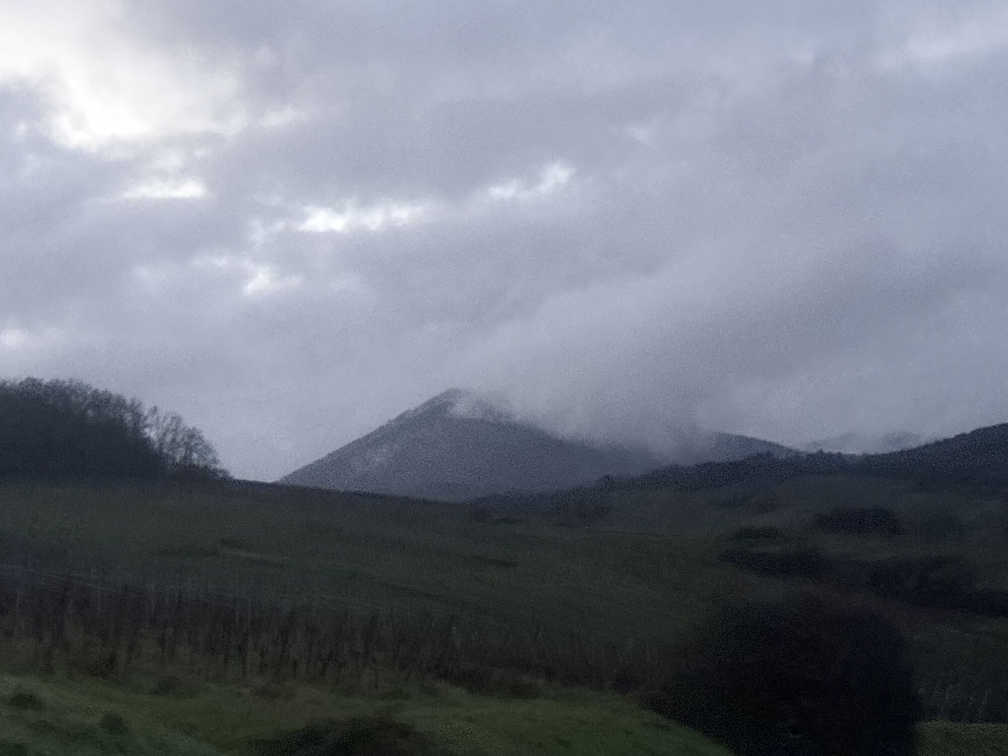
Beautiful multi-day hike through the magnificent vineyards of Alsace.

Pot
autel
(389 m)
Kraj čaščenja
6.7 km
Église Sainte-Anne
(238 m)
Kraj čaščenja
12.9 km
Chapelle Saint-Wolfgang
(255 m)
Kraj čaščenja
21.5 km
Chapelle Sainte-Catherine
(247 m)
Kraj čaščenja
31.5 km
Église Saint-Michel
(225 m)
Kraj čaščenja
49.7 km
Église des Saints-Innocents
(243 m)
Kraj čaščenja
53.8 km
Église Saint-Antoine l'Ermite
(309 m)
Kraj čaščenja
58.7 km
Pot
Zemljevid
Andlau- Eguisheim
težko
Pohodništvo
61.20 km
Eguisheim
(203 m)
Vas
0.0 km
Église Saints-Pierre-et-Paul
(211 m)
Kraj čaščenja
0.1 km
Tennerhaeusle
(218 m)
Koridor/teren
0.3 km
Obere Kirchmatt
(225 m)
Koridor/teren
0.7 km
Bechtalreben
(285 m)
Koridor/teren
1.8 km
Bechtal
(365 m)
Koridor/teren
3.4 km
Sainte-Gertrude
(344 m)
Koridor/teren
5.7 km
autel
(389 m)
Kraj čaščenja
6.7 km
Chapelle
(375 m)
Kraj čaščenja
6.8 km
Waeldele
(365 m)
Koridor/teren
7.0 km
Zanker
(350 m)
Koridor/teren
8.8 km
Turckheim
(238 m)
Vas
12.9 km
Église Sainte-Anne
(238 m)
Kraj čaščenja
12.9 km
Caveau Morakopf
(303 m)
Restavracija
14.7 km
Niedermorschwihr
(306 m)
Vas
14.7 km
Schorr
(292 m)
Koridor/teren
15.3 km
Dudenstein
(290 m)
Koridor/teren
15.4 km
Winterberg
(328 m)
Koridor/teren
16.0 km
Caveau chez Bacchus
(266 m)
Restavracija
16.8 km
Katzenthal
(266 m)
Vas
16.8 km
Église Saint-Nicolas
(266 m)
Kraj čaščenja
16.8 km
Katzelberg
(289 m)
Koridor/teren
17.2 km
Purberg
(263 m)
Koridor/teren
17.3 km
Purberg
(267 m)
Koridor/teren
17.5 km
Non potable
(262 m)
Vir:
17.7 km
Foehn
(256 m)
Koridor/teren
18.3 km
Meywihr
(244 m)
Koridor/teren
18.9 km
Im Hueble
(240 m)
Koridor/teren
19.1 km
Ammerschwihr
(237 m)
Vas
19.3 km
Chapelle Saint-Wendelin
(255 m)
Kraj čaščenja
19.6 km
Oberhinterkirch
(256 m)
Koridor/teren
20.0 km
Chapelle Saint-Wolfgang
(255 m)
Kraj čaščenja
21.5 km
Kaysersberg
(249 m)
Vas
21.9 km
Riquewihr
(296 m)
Vas
27.0 km
Hunawihr
(257 m)
Vas
29.3 km
Couvent de la Divine Providence
(252 m)
Kraj čaščenja
31.3 km
Chapelle Sainte-Catherine
(247 m)
Kraj čaščenja
31.5 km
Ribeauvillé
(241 m)
Vas
31.8 km
Chapelle de la Sainte-Famille
(243 m)
Kraj čaščenja
32.1 km
Unterer Trottacker
(278 m)
Koridor/teren
33.1 km
Saint-Georges
(292 m)
Koridor/teren
34.0 km
Rodern
(264 m)
Vas
37.4 km
Chapelle Notre-Dame-des-Douleurs
(250 m)
Kraj čaščenja
39.0 km
Saint-Hippolyte
(240 m)
Vas
39.1 km
Kirchberg
(283 m)
Koridor/teren
40.5 km
Église Catholique Saint-Maurice
(259 m)
Kraj čaščenja
40.5 km
Orschwiller
(245 m)
Vas
40.8 km
Fontaine
(241 m)
Vir:
41.0 km
Chapelle Notre-Dame-du-Bon-Secours
(217 m)
Kraj čaščenja
42.8 km
Kintzheim
(205 m)
Vas
42.9 km
Pflaenzer
(226 m)
Koridor/teren
42.9 km
Steingrube
(253 m)
Koridor/teren
43.3 km
Châtenois
(190 m)
Vas
45.3 km
Chapelle du Taennelkreuz
(209 m)
Kraj čaščenja
48.4 km
Église Saint-Michel
(225 m)
Kraj čaščenja
49.7 km
Dieffenthal
(209 m)
Vas
49.8 km
Lanzelberg
(216 m)
Koridor/teren
50.2 km
Dambach-la-Ville
(213 m)
Vas
51.6 km
À La Vignette
(214 m)
Restavracija
51.6 km
Steinhausen
(236 m)
Koridor/teren
52.5 km
Église des Saints-Innocents
(243 m)
Kraj čaščenja
53.8 km
Blienschwiller
(234 m)
Vas
53.9 km
Kirchweg
(233 m)
Koridor/teren
54.9 km
Nothalten
(239 m)
Vas
55.3 km
Rohrweg
(287 m)
Koridor/teren
56.4 km
Hintere Muenchwaeldelreben
(298 m)
Koridor/teren
57.8 km
Kreuzelmatten
(284 m)
Koridor/teren
58.0 km
Liesbuehl
(282 m)
Koridor/teren
58.2 km
Heizenmaettlen
(290 m)
Koridor/teren
58.5 km
Talrain
(296 m)
Koridor/teren
58.6 km
Heizermaettelrain
(297 m)
Koridor/teren
58.6 km
Église Saint-Antoine l'Ermite
(309 m)
Kraj čaščenja
58.7 km
Bernardvillé
(320 m)
Vas
59.0 km
Kimmreben
(361 m)
Koridor/teren
59.2 km
Dickenet
(344 m)
Koridor/teren
59.3 km
Andlau
(226 m)
Vas
61.2 km
Informacije o turneji

Here is a suggestion for a multi-day hike from Andlau to Eguisheim over a distance of 61km with many possible stops along the route and a unique waymark to follow (Way of St. James in Alsace).

Tehnologija
1 / 6
Stanje
6 / 6
Pokrajina
6 / 6
Izkušnje
6 / 6
Najboljši letni čas
Jan
Feb
Mar
Apr
Maj
Jun
Jul
Avg
Sep
Okt
Nov
Dec
Avtor
Logo
Skupna turneja
Zemljevid
Andlau- Eguisheim
težko
Pohodništvo
61.20 km
Napaka
Zgodila se je napaka. Prosimo, poskusite znova.
Informacije o poti
Pot

see detailed sheet

Oprema

Clothing adapted to the season and conditions (cold, hot, humid…)

Hiking shoes suitable for the terrain (even for children!)

Hiking poles (useful for stability and to relieve the joints)

Mobile phone and spare battery

Varnostna navodila

Before leaving :

Check the general and local weather, ensuring there is no precipitation

Get information about the approach route, elevation gain, duration, possible escape routes (IGN map, GPS, guidebook, etc…)

Evaluate possible risks by consulting mountain professionals, refuges, inns

Inform a close person of your objective and contact them in case of changes: departure and return times, number of participants with each one's phone number, vehicle(s), parking

Avoid going alone, use equipment suitable for the activity, adjusted and in good condition, headlamp, complete first aid kit, survival blanket, etc…

In case of emergency, call 112 (European emergency number)

Informacije o prihodu
Prihod

Andlau (67)

Javni prevoz

www.fluo.eu

Parkirišče

Free parking on site

Dodatne informacije in nasveti
Stopnja težavnosti

T1

Dodatne informacije

www.club-vosgien.eu

Pohodništvo in sledenje

Pohodništvo in sledenje

prenos za iOSprenos za Android
Pohodništvo in sledenje
Zaradi več kot 550.000 predlogov izletov, podrobnih zemljevidov in intuitivnega načrtovanja poti je aplikacija obvezna oprema za vse ljubitelje narave.
bergfex