


HIKING - THE ÉTANG DU CHÊNA
The Étang permits do not grant fishing rights in the Moselle.
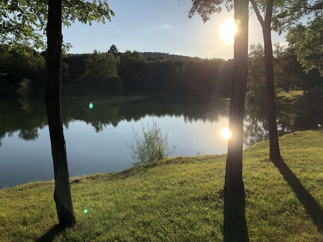
From the parking, cross the road and go down opposite towards the Moselle, take the footbridge crossing it, continue straight and take another footbridge which again crosses the Moselle. 2) After this crossing, turn left to go around the Étang du Chêna, following the Moselle and returning on the left side of the pond. 3) Retrace your steps along the meadow, do not cross the Moselle again but continue straight uphill to reach the road which continues to the parking.
Da
Clothing suited to the season and conditions (cold, hot, humid…)
Hiking shoes suitable for the terrain (even for children!)
Hiking poles (useful for stability and relieving joints)
Mobile phone and spare battery
Before leaving:
Check the general and local weather, ensuring no precipitation
Gather information on the approach walk, itinerary height, duration, possible exit routes (IGN map, GPS, guidebook, etc.)
Assess potential risks by consulting mountain professionals, refuges, lodgings
Inform a close contact about your objective and update them in case of changes: departure and return times, number of participants with each phone number, vehicle(s), parking
Avoid going alone, use equipment suitable for the activity, adjusted and in good condition, headlamp, complete first aid kit, survival blanket, etc.
In case of problem, call 112 (European emergency number)
88510 ELOYES
www.fluo.eu
Free parking on site
Place du Commandant Humbel 88510 ELOYES
Priljubljeni izleti v okolici
-
The GR de Pays of Tour de la Vologne - Grandes Echappées Vosgiennes
srednjaPohodništvo v daljavo 149.0 km -
Hike - Saint Mont
srednjaPohodništvo 3.89 km -
Hiking - The puddingstones and the Tocquaine Rock
Pohodništvo 4.71 km -
Hike - La Piotte
svetlobaPohodništvo 4.83 km -
Le Ruch des Messires - MTB No. 6
srednjaMountainbike 13.4 km -
Hiking - The Tumulus of the Cucherons
svetlobaPohodništvo 2.08 km -
La Vall'kyrie - VTT N°7
srednjaMountainbike 15.5 km -
Hiking - Villerain pond
svetlobaPohodništvo 1.26 km -
La Festi'Vall MTB no. 9
srednjaMountainbike 26.8 km -
Navette des Crêtes Ligne 29 - Epinal - Gérardmer
Motorno kolo 40.3 km

Pohodništvo in sledenje


Ne zamudite ponudb in navdiha za naslednje počitnice
Vaš e-poštni naslov je bil dodan na poštni seznam.