






Le Drumont via the Sentier des Russiers
Discover this mountain overlooked by the former thermal station of Bussang

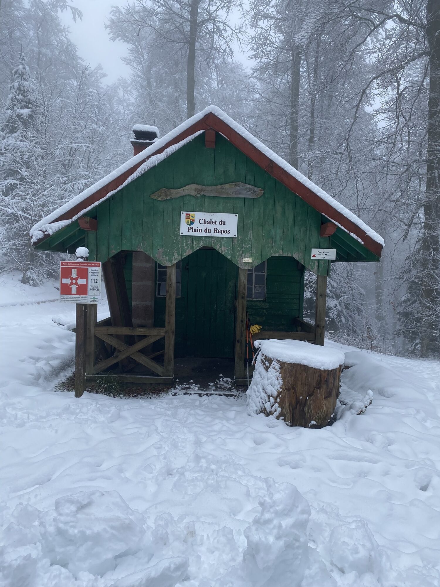
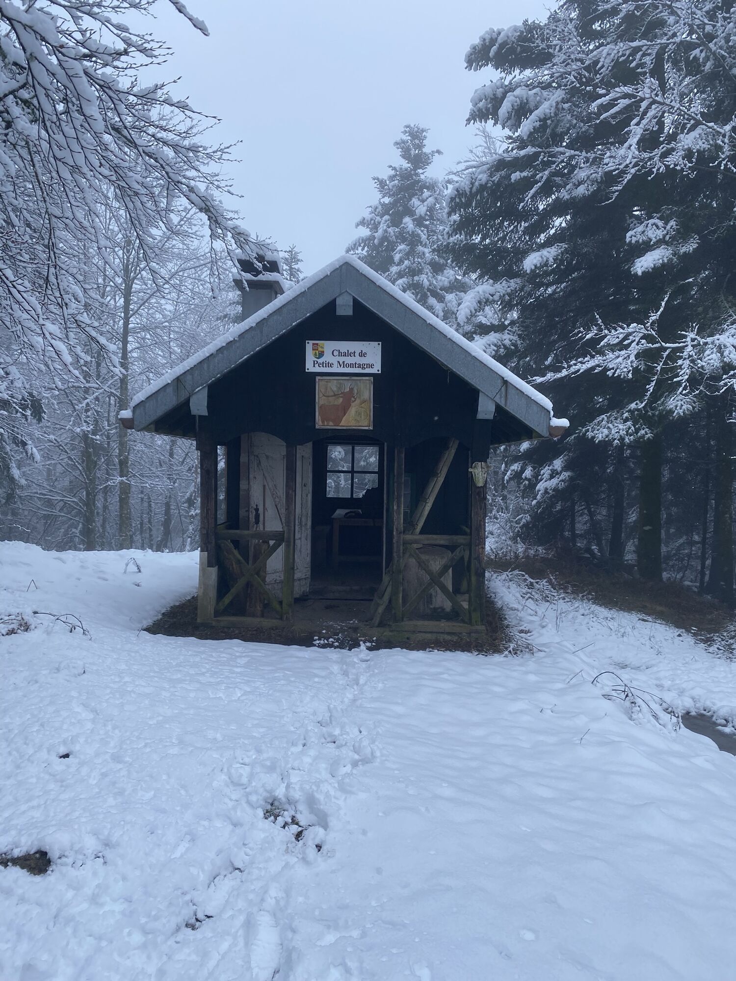
Start at the Source de la Moselle parking lot. Take the uphill road to reach the national road RN66 for 150 m. Follow the RN66 for 100 m, then take the path going uphill on the left, marked with a blue rectangle GR 531, towards "Summit of Drumont". This path, called the "Sentier des Russiers", emerges higher up onto the Drumont road. Follow this road for about 300 m, then take again the blue rectangle GR 531 path going uphill on the right for about 2 km. You will finally arrive at the Drumont chaume, where you will follow the ridge to the orientation table. The view over the valley reveals Bussang, nestled on the flank of the Tête des Corbeaux. The panorama over the Ballon d'Alsace, Rossberg and Grand Ballon is simply magnificent. To the south, in very clear weather, you can see the Swiss Alps. The panorama offers an alternation of wooded peaks and urbanized valleys. From the orientation table, go down the opposite side. At the intersection, take the path to the left, blue rectangle GR 531 "Auberge du Drumont", which will lead you to the farm inn. Possibility to eat and buy local products. Below the parking lot, follow the round blue marking "Bussang – Plain du Repos". The path comes out onto the road, which you will follow for about 300 m before taking a path on your right downhill. You arrive at the Plain du Repos chalet. To the left of the chalet, continue following the path with round blue marking, which leads to the Petite Montagne chalet. Then follow the forest path on the left, marked with a round blue "Bussang par le Charat". Possibility to make a small detour (about 150 m) to admire the Charat viewpoint, with a beautiful panorama over the Col de Bussang. This is where the first part of the "rando ferrata of the Source de la Moselle" ends, a route combining hiking and climbing along a fixed cable and facilitated by rungs, footbridges… (Activity with free access, requiring special equipment: helmet, harness and lanyards with absorbers – for more information, contact the Bussang Tourist Office). Leave the path to take a trail on the right, round blue marking (be careful not to take the ferrata return route). The trail leads to the "route du charat". Follow this road to the left for about 350 m before joining the "route des sources". Possibility to make a detour to the Marie Source by taking the "route des sources" to the right. The Marie Source is the last vestige of the former thermal station that Bussang was. Surrounded by a pretty park, the Marie Source is sheltered by a kiosk whose entrance is free and always open where you can freely taste the naturally sparkling mineral water, once recommended for the treatment of anemia due to its iron richness. At the intersection with the route des sources, turn left. Pass in front of the Étang des Sources and the parking of the "rando ferrata of the Source de la Moselle"; follow the road for about 1 km before reaching the Source de la Moselle. The GPX track and hiking description are downloadable above. IGN reference map 3619 OT or customized Bussang map only available at the Bussang Tourist Office. Markings: Blue Rectangle – Blue Round
Da
Da
Clothing suited to the season and conditions (cold, hot, humid…)
Hiking shoes suited to the terrain (even for children!)
Hiking poles (useful for stability and to relieve joints)
Mobile phone and spare battery
Before leaving:
Check the general and local weather ensuring no precipitation
Get information on the approach walk, height of itinerary, duration, possible rescue (IGN map, GPS, guidebook, etc.)
Evaluate possible risks by consulting mountain professionals, refuge, inns
Inform a close person of your objective and contact them in case of change: departure and return times, number of participants with each phone number, vehicle(s), parking
Avoid going alone, use equipment suitable for the activity, properly adjusted and in good condition, headlamp, complete first aid kit, survival blanket, etc.
In case of problem, call 112 (European emergency number)
Bussang 88540
www.fluo.eu
Free parking
Bussang Tourist Office
Pridobite vpogled
Vedno v živo na mestu z več kot 9.500 spletnimi kamerami. bergfex Kot uporabnik Pro si lahko zdaj ogledate ustrezne spletne kamere za številne izlete v aplikaciji izleti iz. Tako si lahko neposredno ogledate trenutne razmere.
Priljubljeni izleti v okolici
-
Tour de l'Altenweiher et Rainkopf, Mittlach, France
srednjaPohodništvo 12.6 km -
5.0
Discovery trail circuit at the Ballon d'Alsace
srednjaPohodništvo 2.69 km -
Vosges Massif Crossing - Stage 15 - Col de la Schlucht - The Markstein
težkoPohodništvo v daljavo 26.9 km -
Wald, Moor und Panorama
srednjaPohodništvo 9.56 km -
Schafert Farmhouse Walk "Towards a 360 degree high view"
srednjaPohodništvo 5.49 km -
Felsach farm-inn walk "Towards a nature sanctuary"
srednjaPohodništvo 6.81 km -
The Dukes' trail
srednjaPohodništvo v daljavo 340.7 km -
The lake of Crows
srednjaPohodništvo 5.65 km -
The Thannerhubel at Bourbach-le-Haut
srednjaPohodništvo 7.32 km -
Crossing of the Vosges Massif - Stage 17 - Thann - Ballon d'Alsace
težkoPohodništvo v daljavo 27.8 km

Pohodništvo in sledenje


Ne zamudite ponudb in navdiha za naslednje počitnice
Vaš e-poštni naslov je bil dodan na poštni seznam.





