



Hike Mountain Inn des Cîmes (Climont Route) - Towards a 360° view

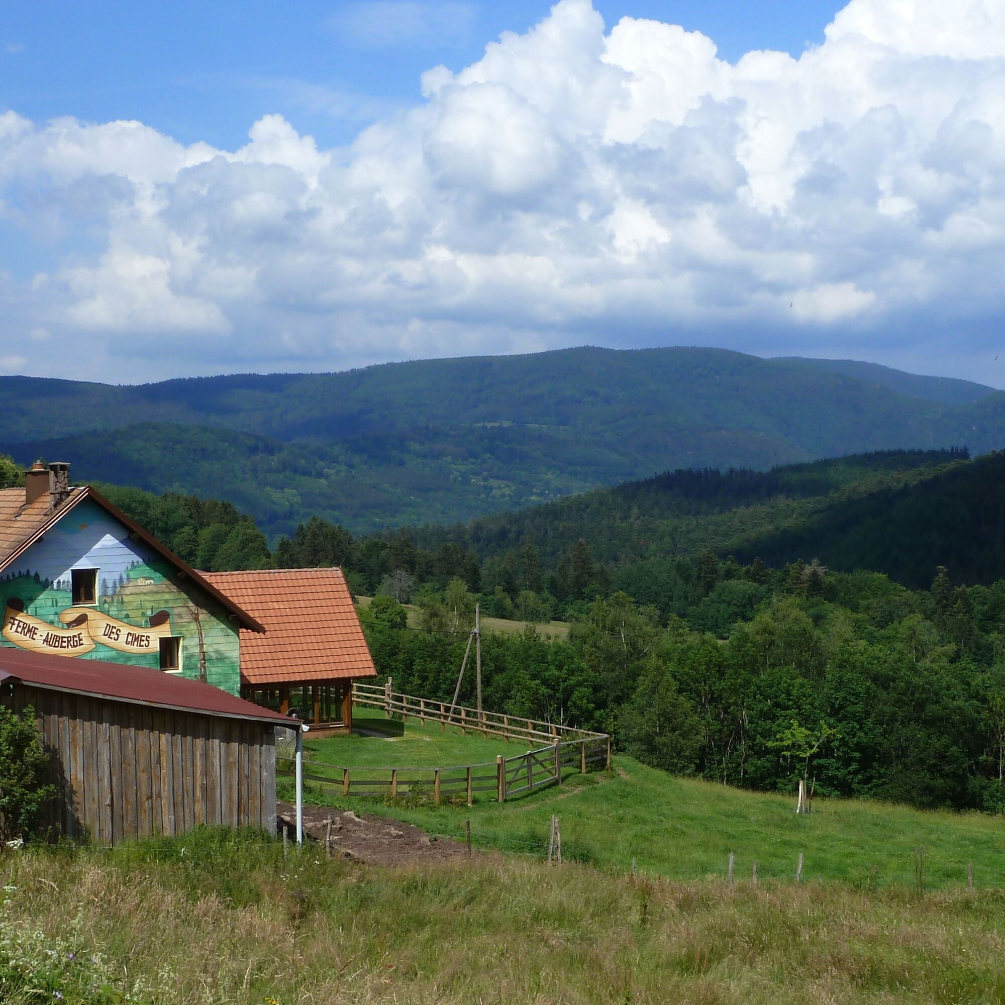
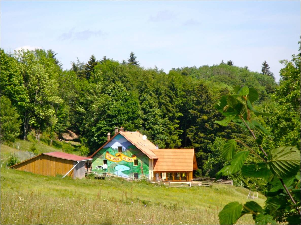
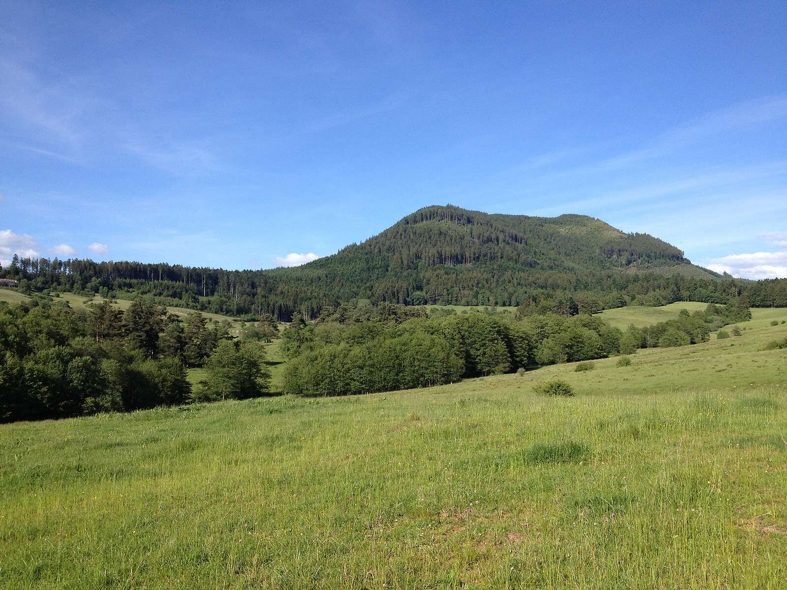
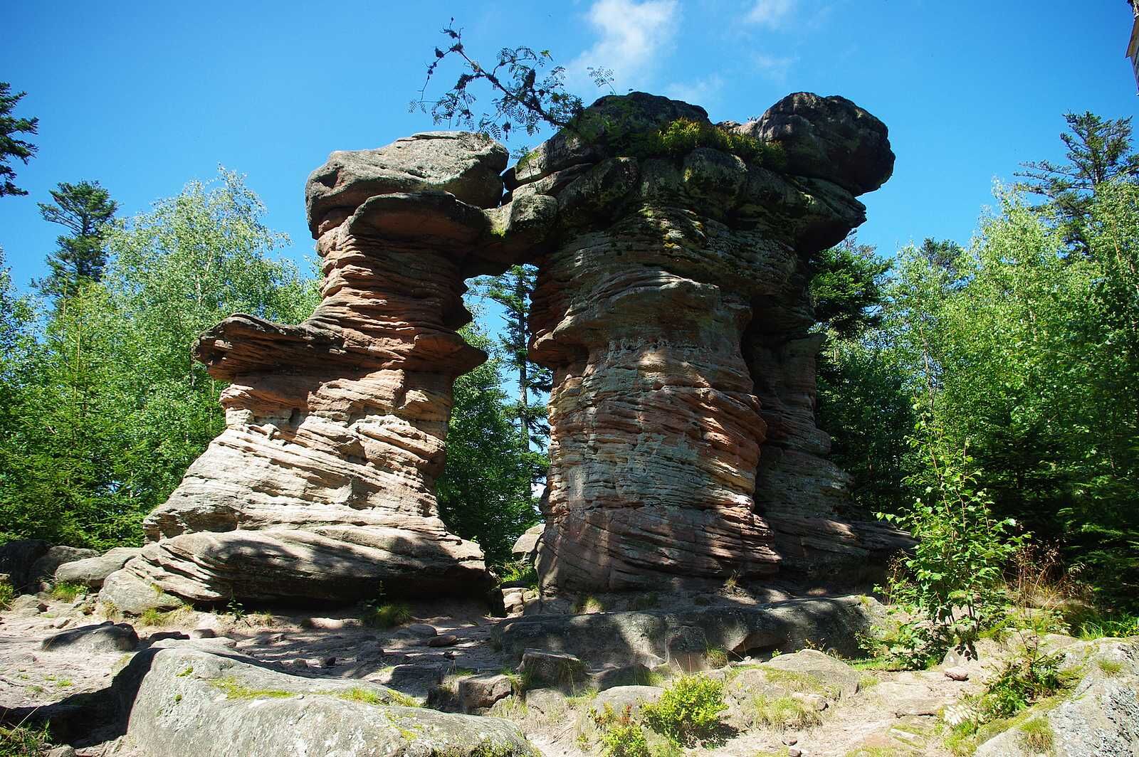
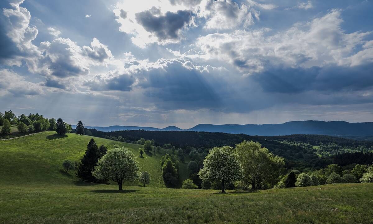
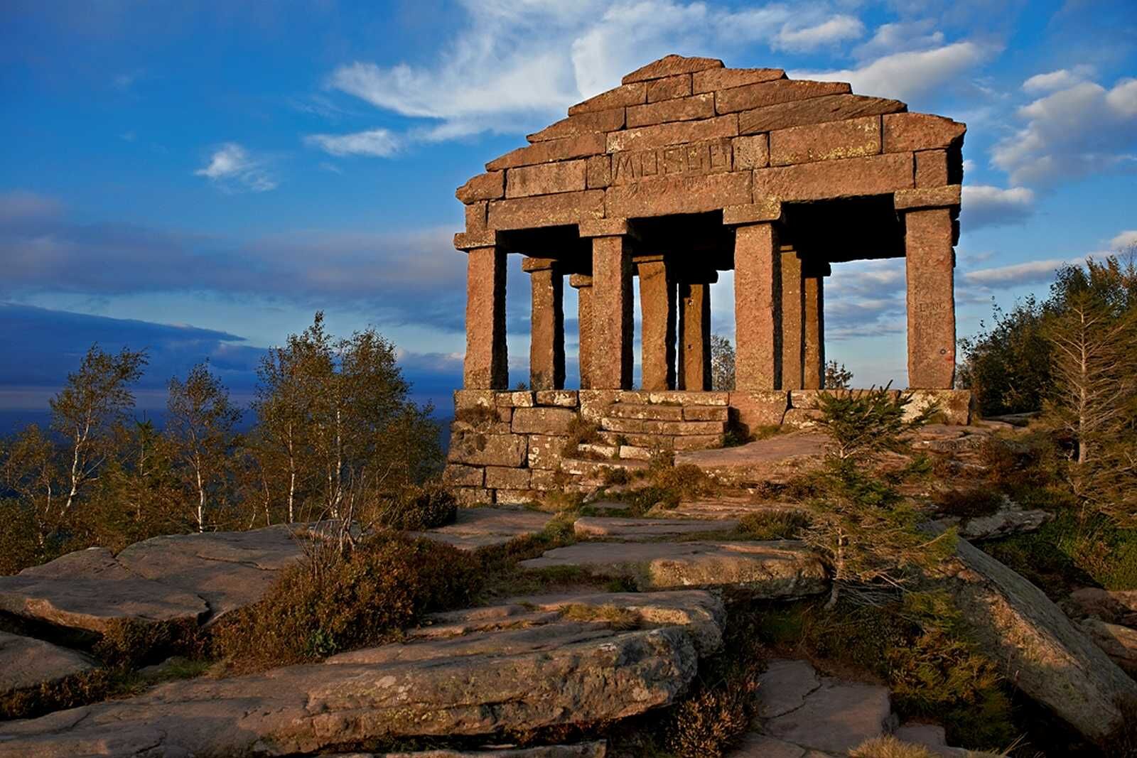
The path leading to the summit is difficult but offers magnificent views of the Vosges valleys and the Black Forest.





Da
Da
Clothing adapted to the season and conditions (cold, hot, humid…)
Hiking shoes suitable for the terrain (even for children!)
Telescopic poles (useful for stability and to relieve the joints)
Mobile phone and spare battery if needed
Before leaving:
Check general and local weather ensuring no precipitation
Get information on the approach walk, route elevation, duration, possible retreat (IGN map, GPS, topo guide, etc.)
Assess possible risks by consulting mountain professionals, refuges, lodges
Inform a close person of your goal and contact them in case of changes: departure and return times, number of participants with each phone number, vehicle(s), parking
Avoid going alone, use equipment suitable for the activity, adjusted and in good condition, headlamp, complete first aid kit, emergency blanket, etc.
In case of emergency, contact 112
11 route des Crêtes
67220 Urbeis
03 88 57 36 49
Priljubljeni izleti v okolici
- 5.0
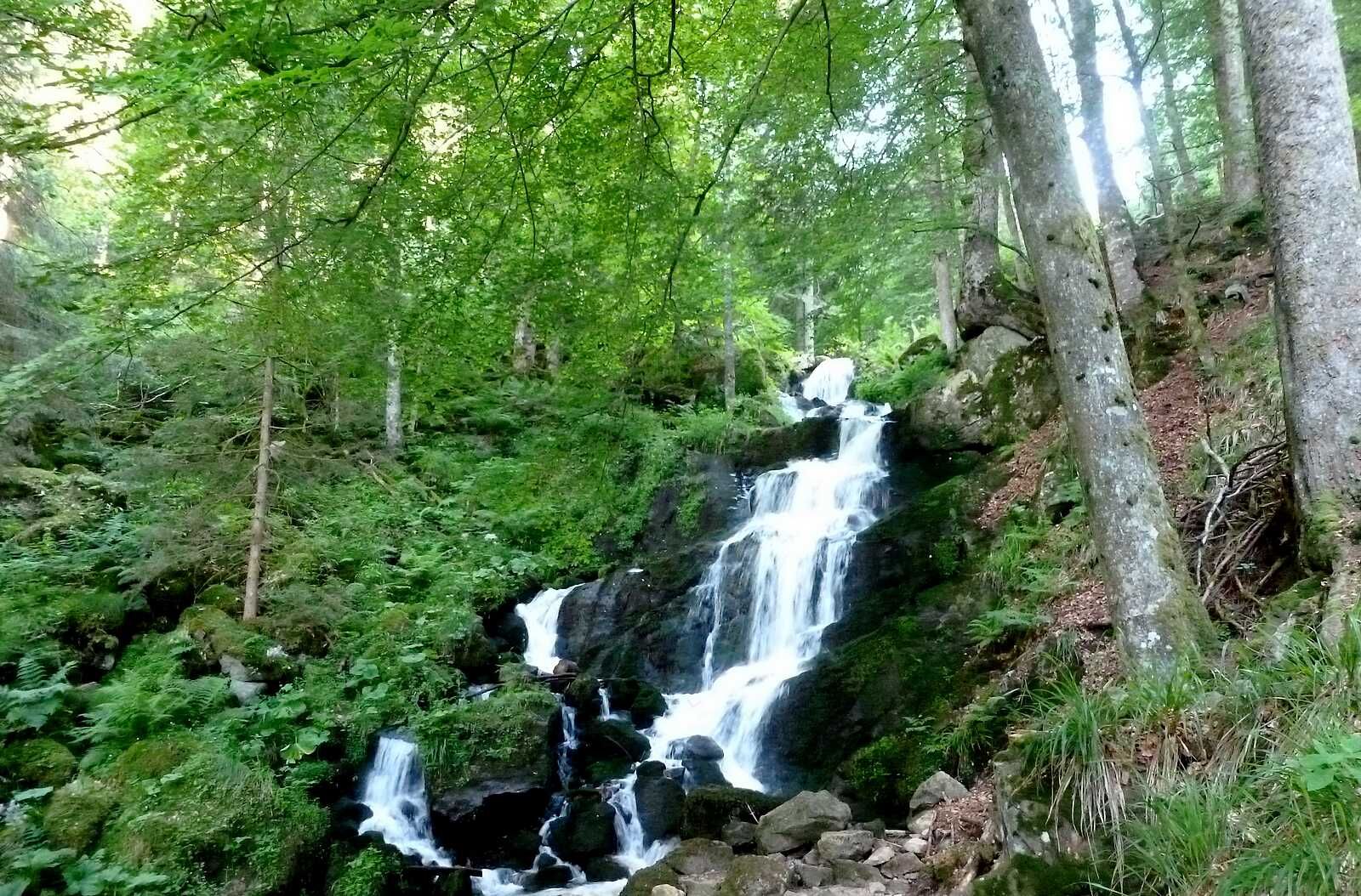
A corner of freshness... at the Hohwald waterfall
svetlobaPohodništvo 5.75 km - 5.0
Hiking circuit C10: The Serva waterfall
srednjaPohodništvo 8.52 km Traversée du Massif des Vosges - Stage 11 - Barr - Châtenois
težkoPohodništvo v daljavo 30.7 kmCrossing of the Vosges Massif - Stage 09 - Schirmeck - Le Hohwald
težkoPohodništvo v daljavo 23.2 kmHiking circuit: Salm and the Chatte Pendue
srednjaPohodništvo 6.16 kmFamily walk: Little Princes' routes in the Principality of Salm
svetlobaPohodništvo 6.28 kmFamily route: Around Belmont
srednjaPohodništvo 6.36 kmHiking route H06: The summit of Voyemont
srednjaPohodništvo 9.83 kmStroller walk: on the poetry trail
srednjaPohodništvo 8.98 kmMountains, vineyards and castles in Alsace and the Vosges Massif
težkoJahanje 154.9 km
Pohodništvo in sledenje


Ne zamudite ponudb in navdiha za naslednje počitnice
Vaš e-poštni naslov je bil dodan na poštni seznam.


