







Tour au Mont circuit

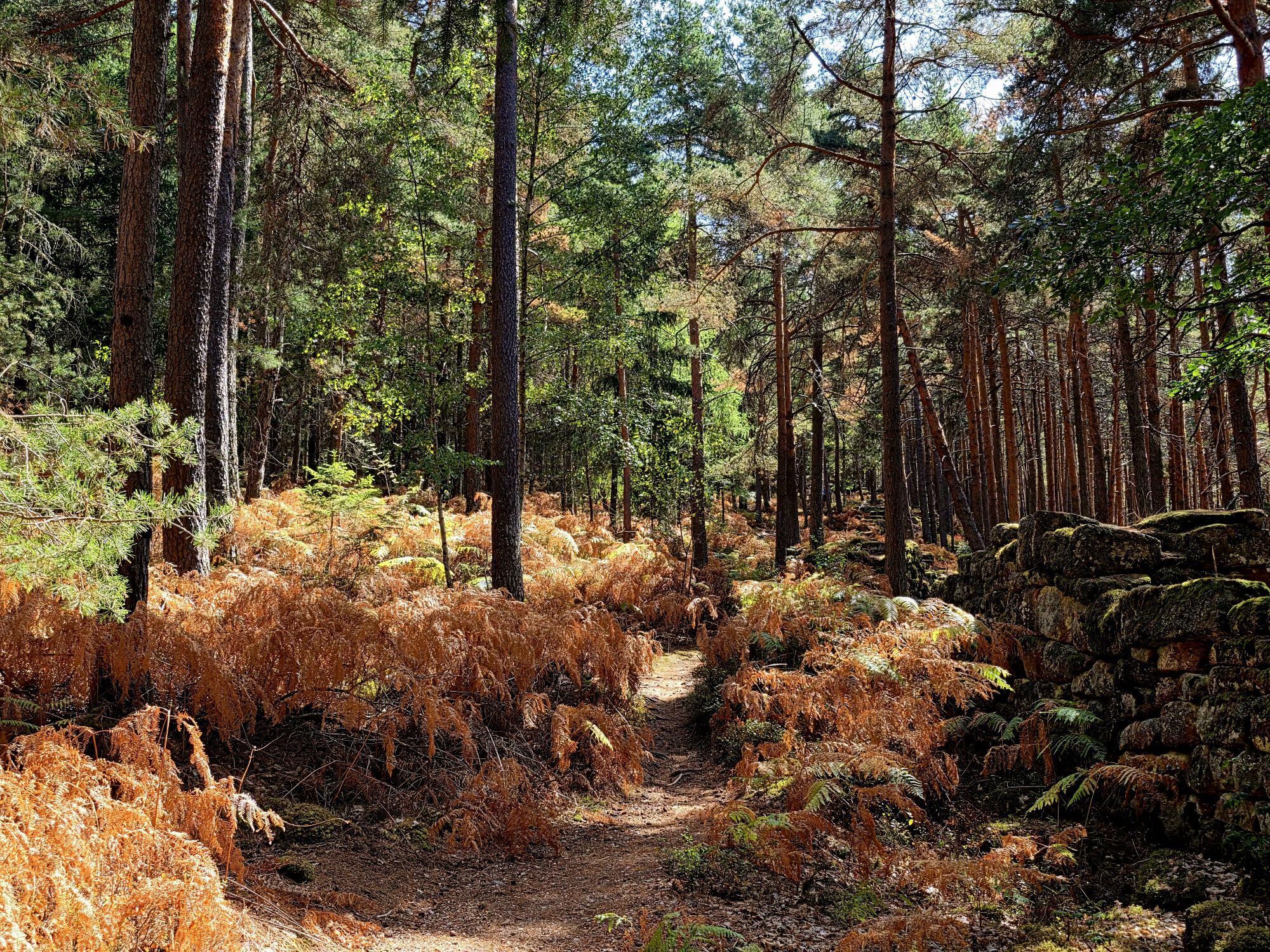
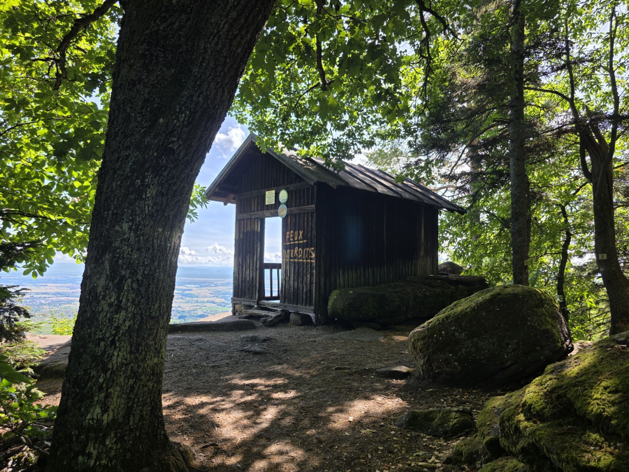
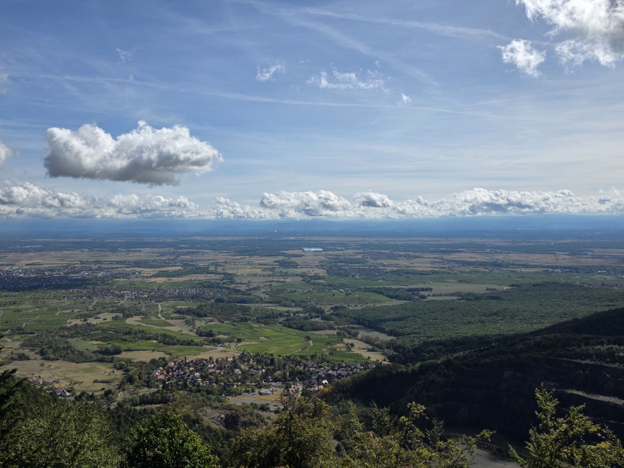
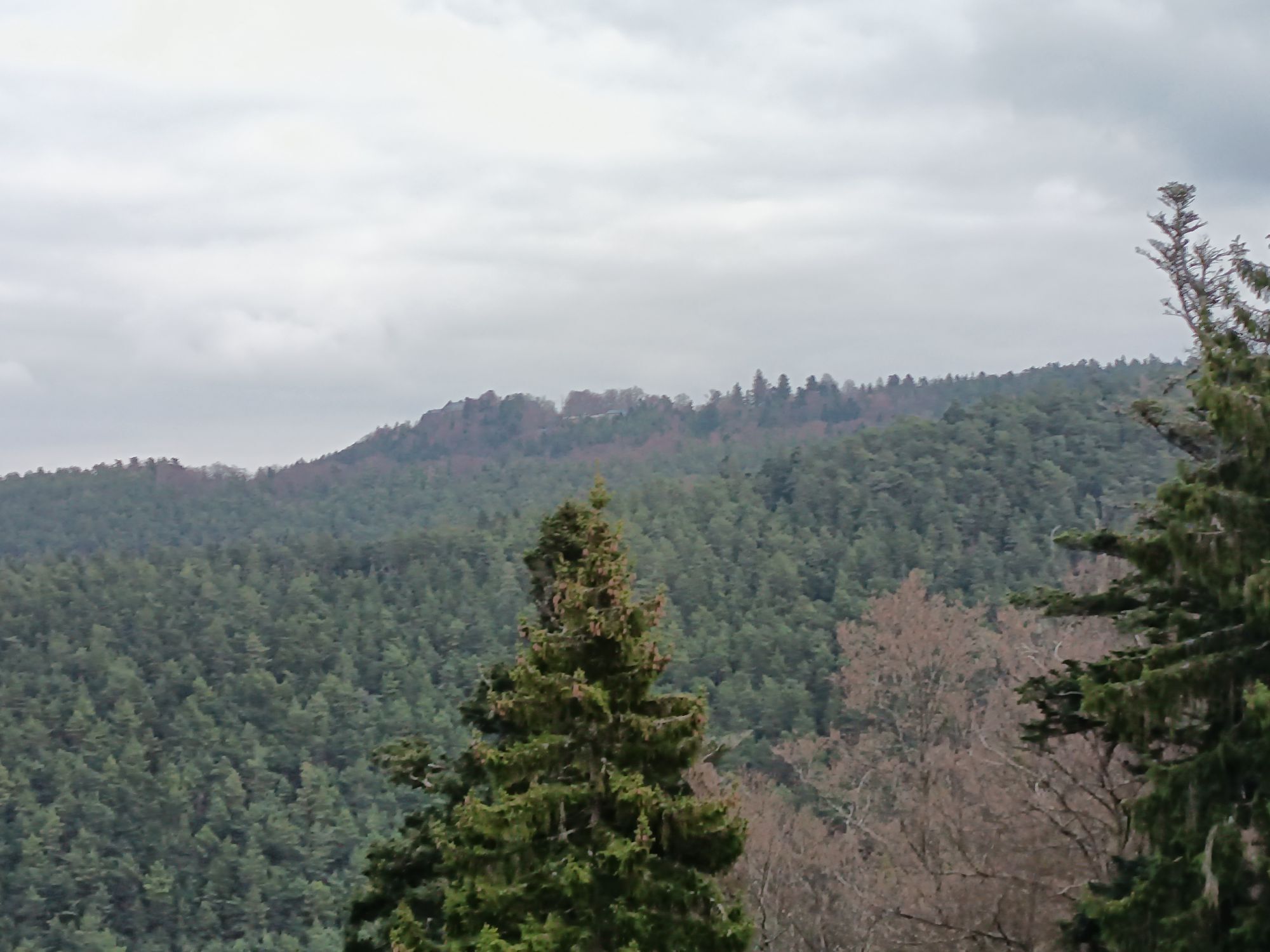
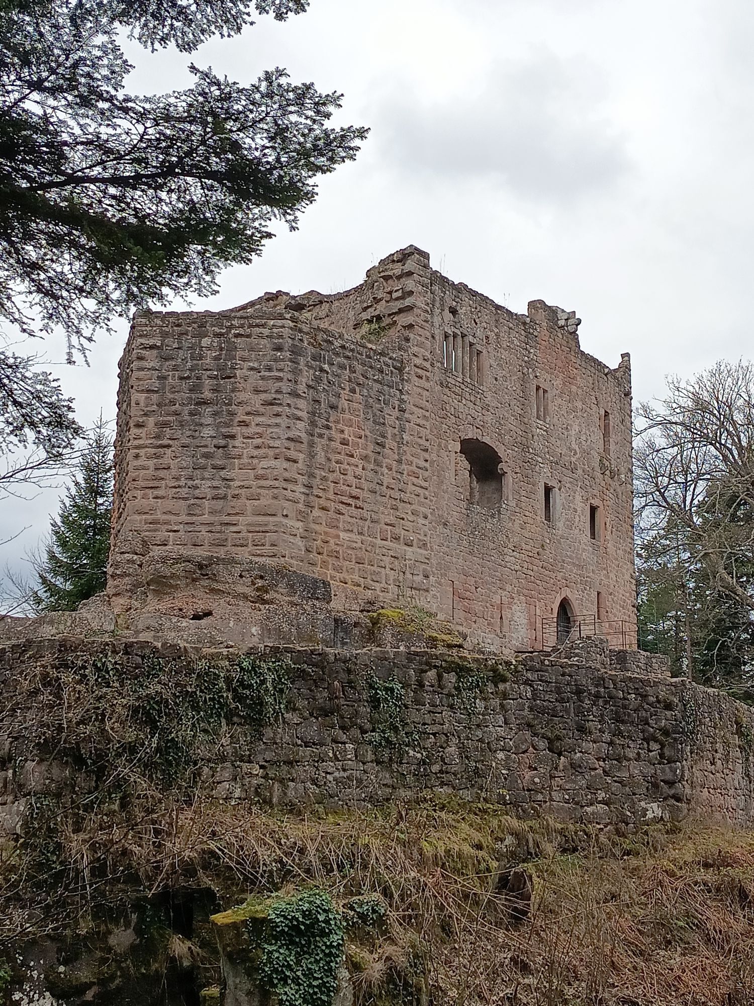
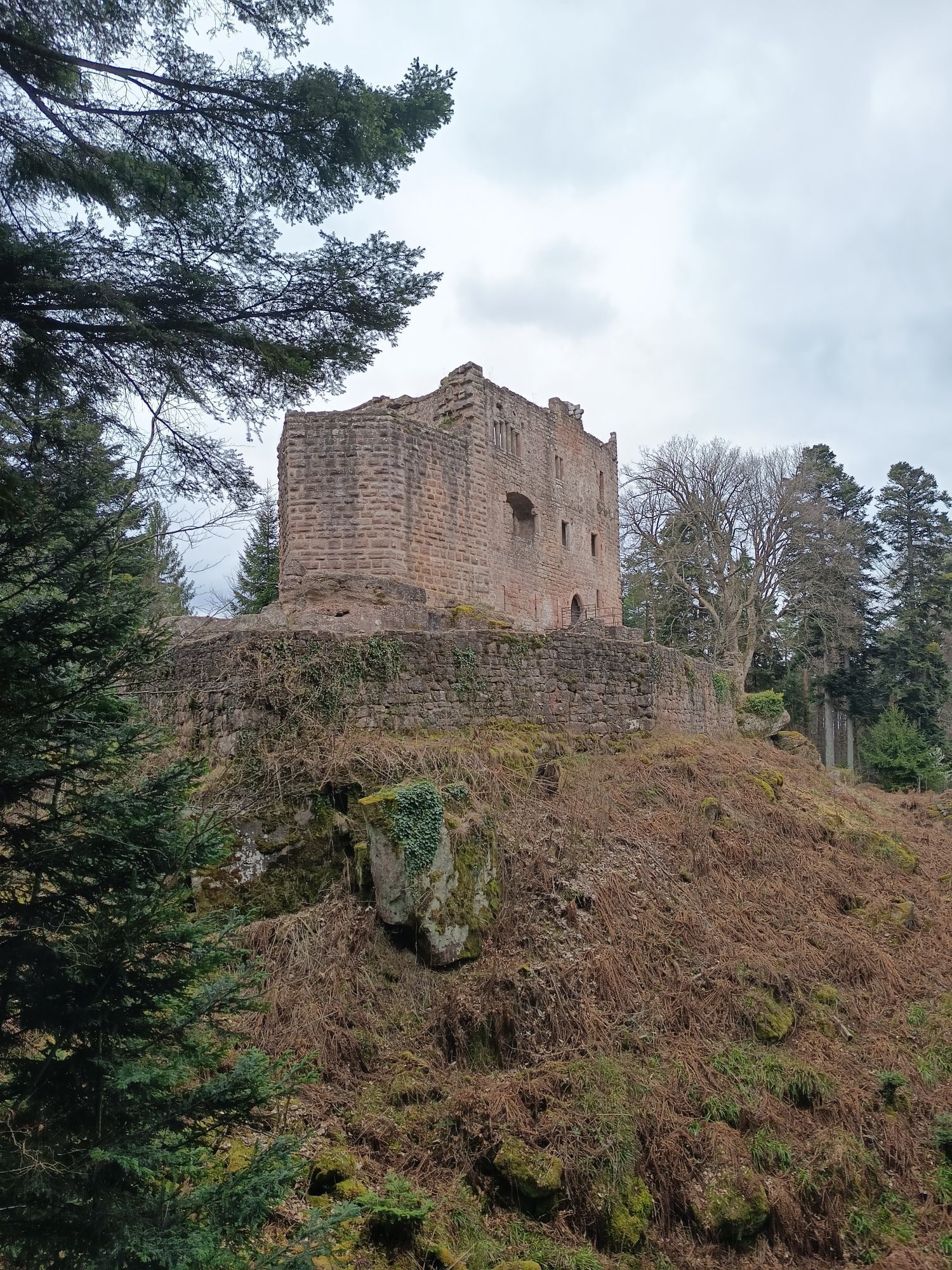
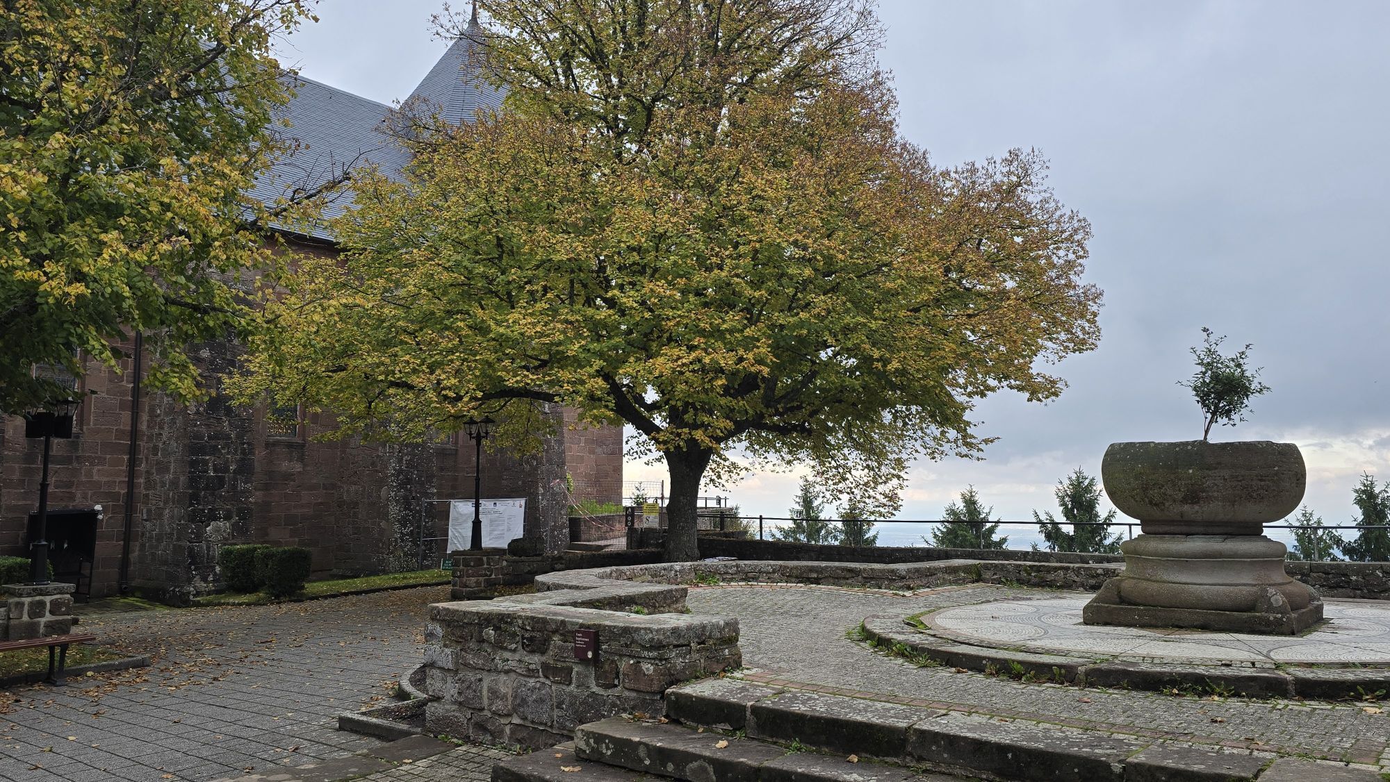
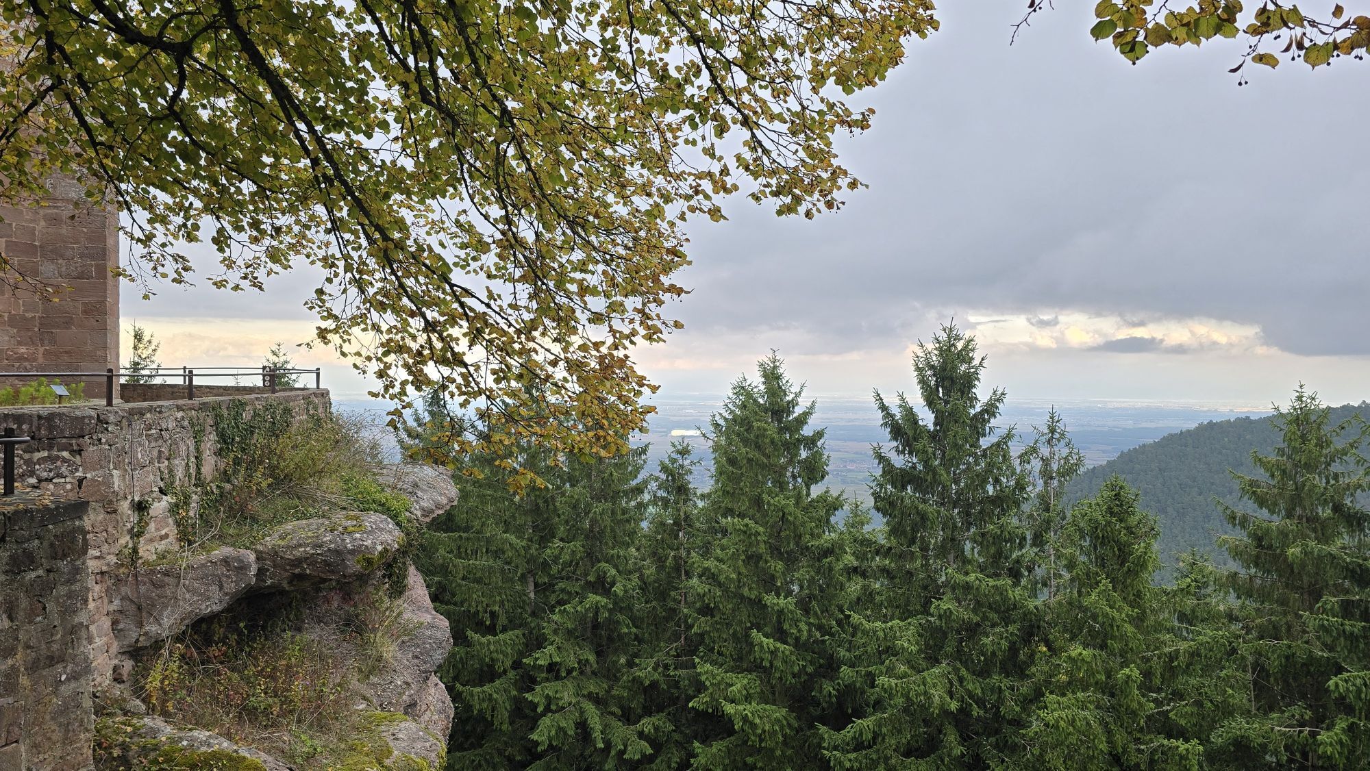
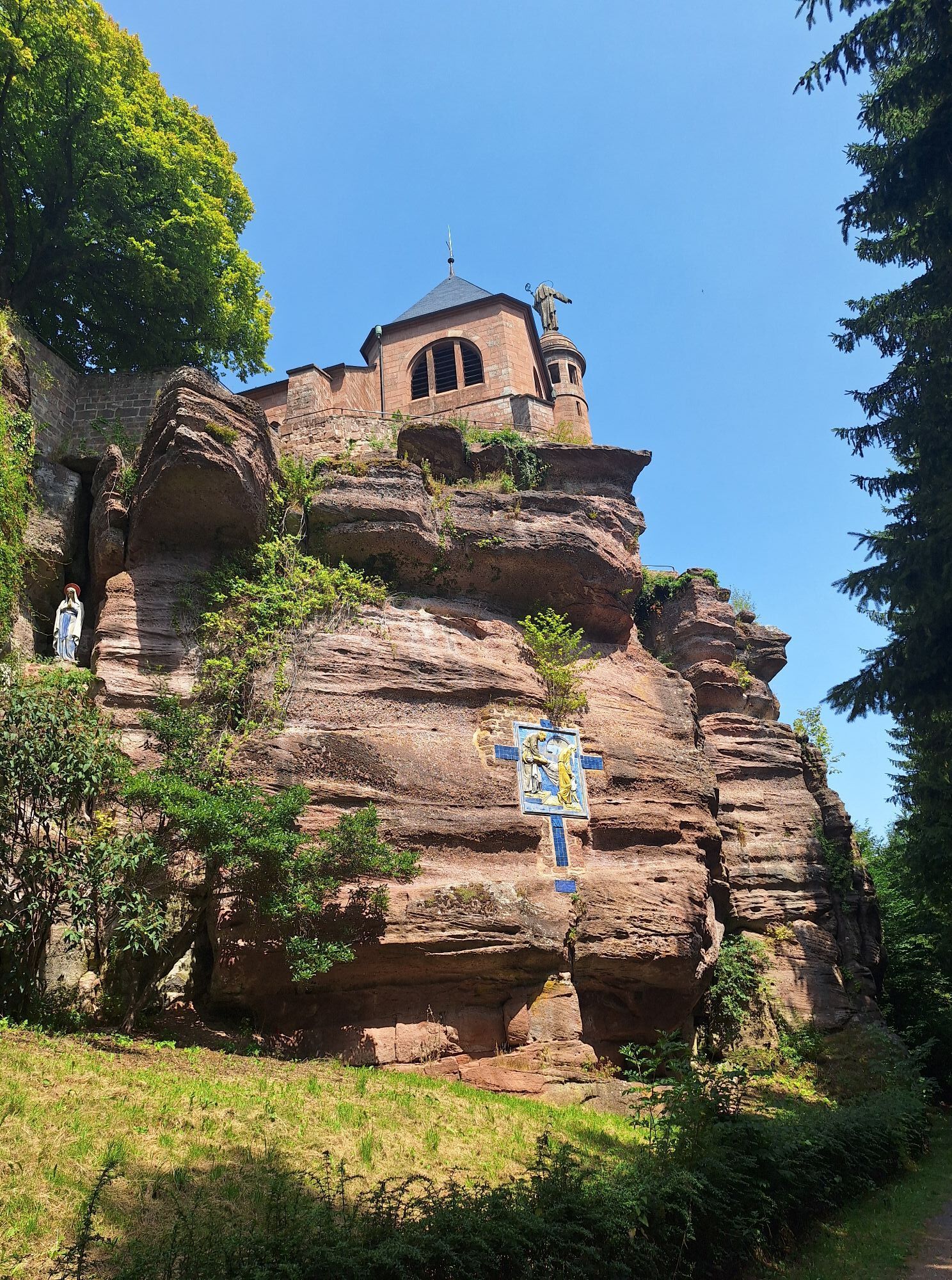
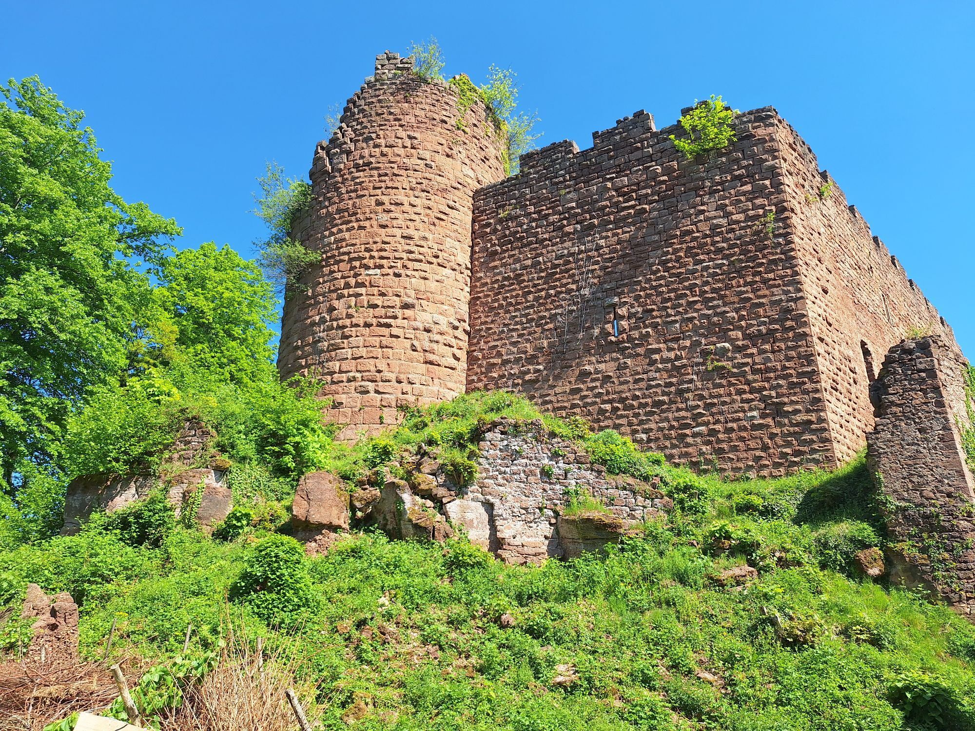
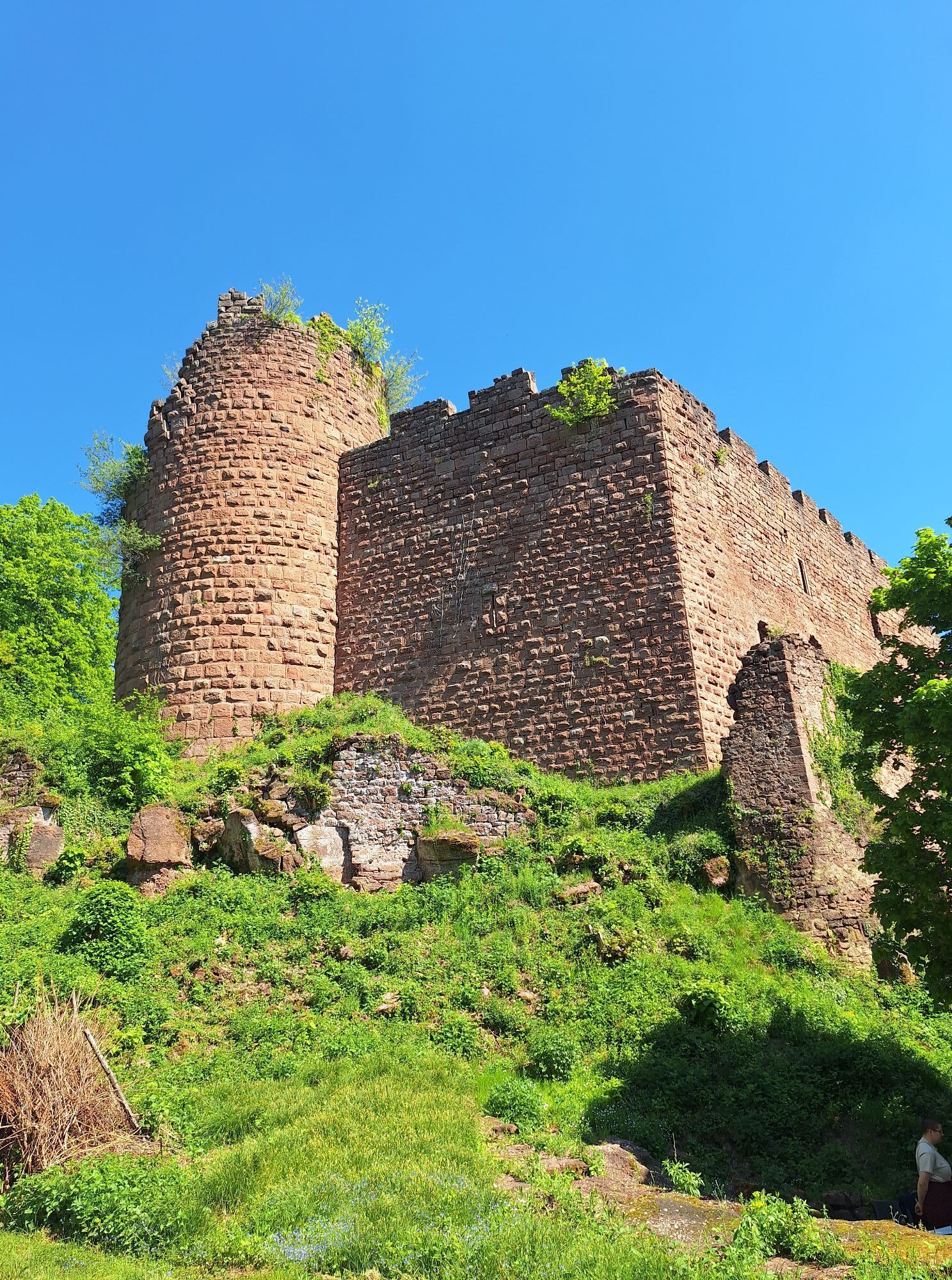
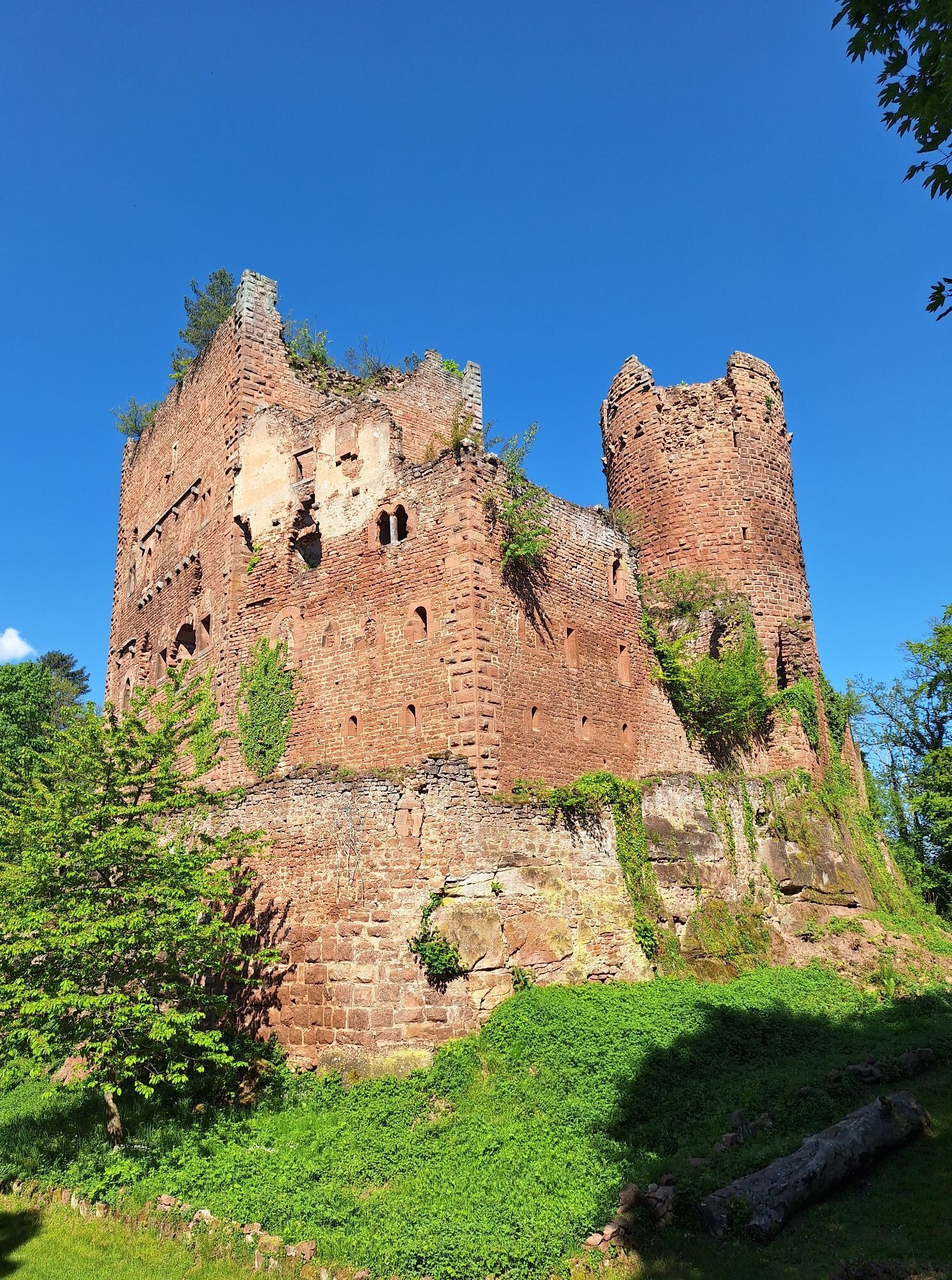
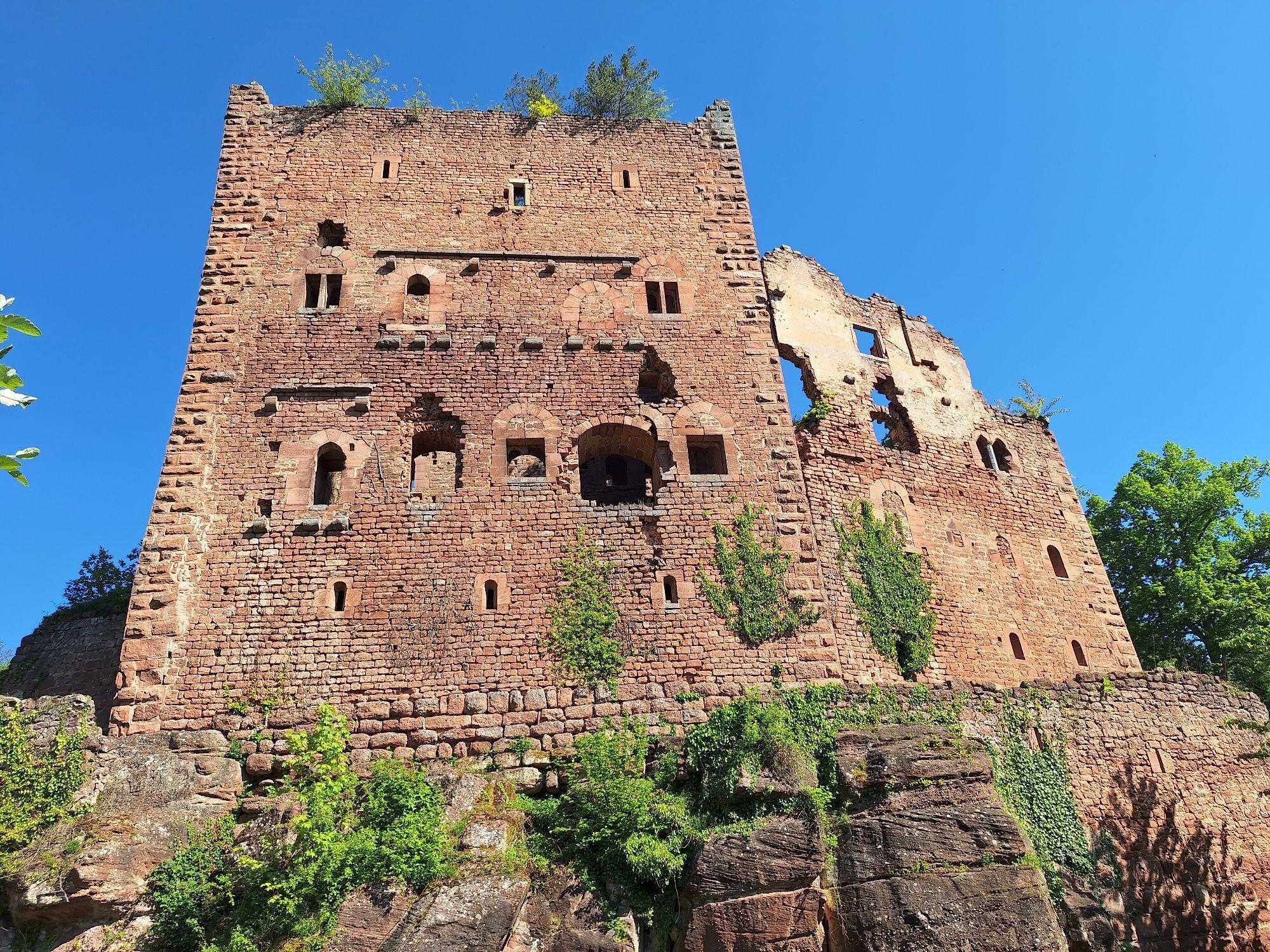
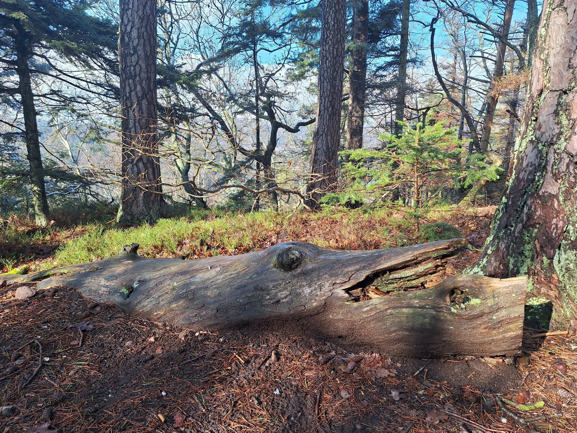
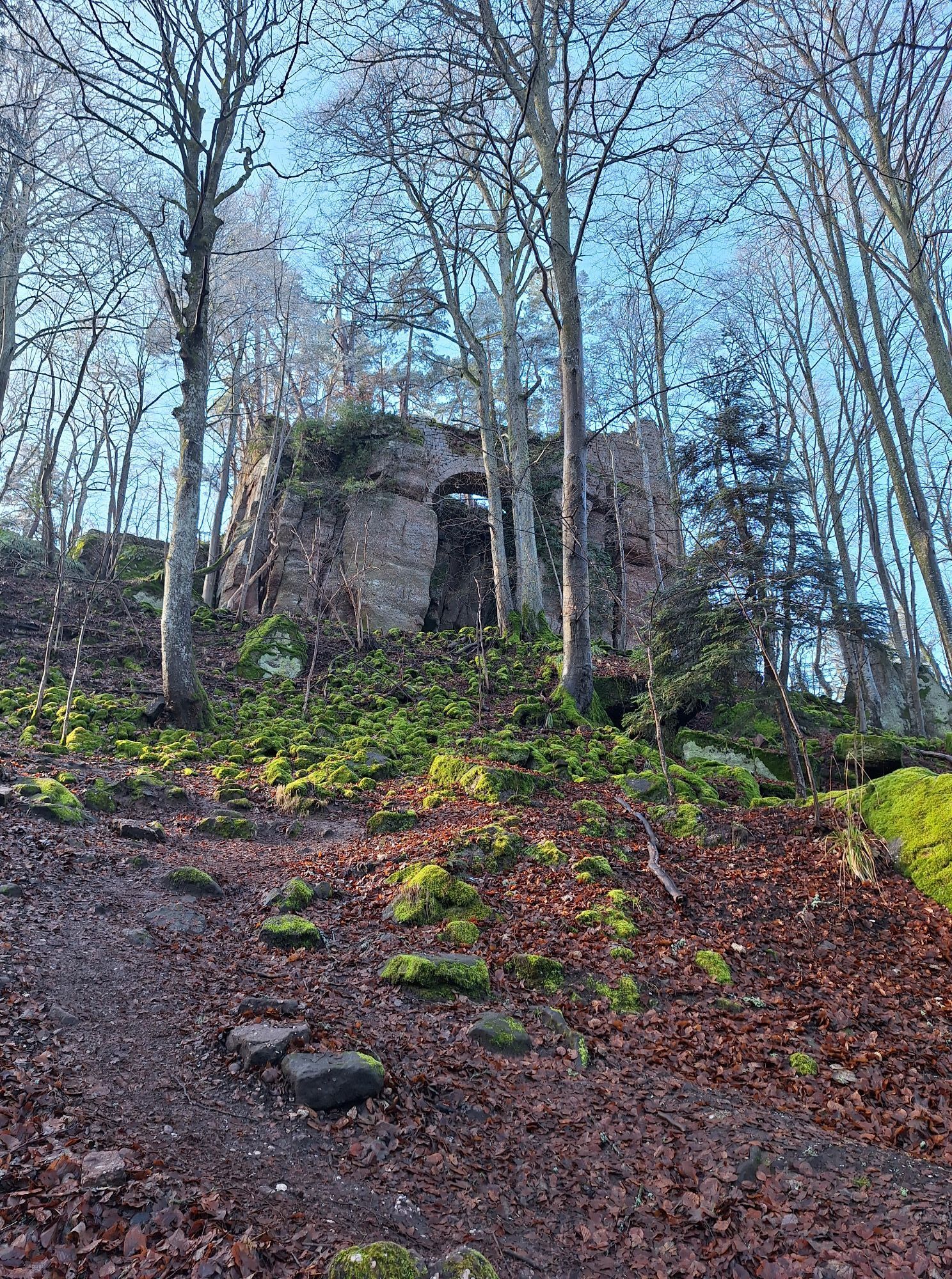
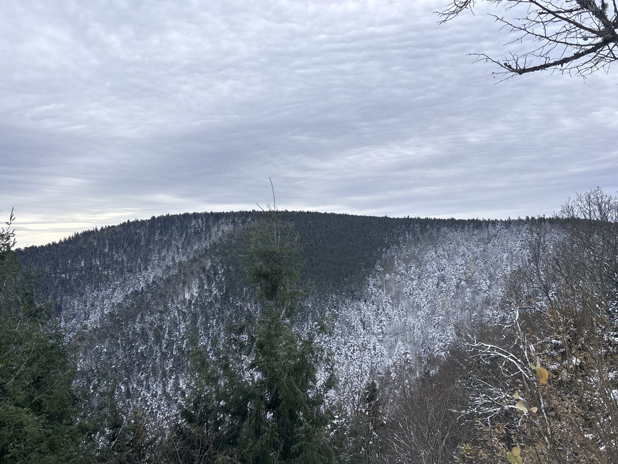
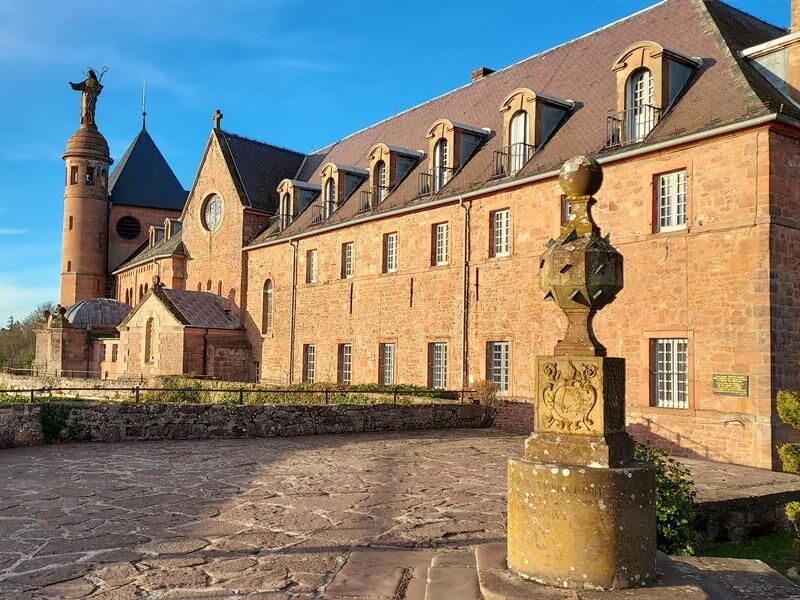
To reach it, simply descend gradually into the Ehn valley and climb back up to the Sanctuary. Along the way, you'll come across a number of interesting heritage sites. On the way back, you'll pass by the...
To reach it, simply descend gradually into the Ehn valley and climb back up to the Sanctuary. Along the way, you'll come across a number of interesting heritage sites. On the way back, you'll pass by the Pagan Wall and the Châteaux d'Ottrott. Info: Trail enthusiasts, this is the tour for you!

Clothing adapted to the season and conditions (cold, hot, wet...)
Hiking shoes suited to the terrain (even for children!)
Telescopic poles (useful for stability and joint relief)
Cell phone and spare battery if necessary
Call 112 (European emergency number)
5 key points for transmitting your alert:
Where? town, location, route, altitude
Who? identity, telephone number
What? type of accident, number of victims, severity, fall kinetics
When? time of accidentWeather? wind, visibility
Klingenthal (67)
www.fluo.eu
On-site parking
94 Route du Général de Gaulle
67560 Rosheim
Tel: 03 88 50 75 38
Priljubljeni izleti v okolici
-
Crossing the Vosges Massif on foot - Wissembourg / Belfort - GR53 - GR5
težkoPohodništvo v daljavo 432.2 km -
Way of Saint James of Compostela in Alsace
srednjaRomarska pot 274.4 km -
5.0
"Grands Crus" Bike Route
srednjaKolesarjenje 29.7 km -
5.0
S. Odile - Rundweg
svetlobaPohodništvo 10.6 km -
Bike route: EuroVelo5 Via Romea. Saarbrücken – Strasbourg – Basel
srednjaKolesarjenje na dolge razdalje 388.7 km -
5.0
A corner of freshness... at the Hohwald waterfall
svetlobaPohodništvo 5.75 km -
Bike loop "Mont Sainte-Odile from Obernai"
težkoKolesarjenje 27.7 km -
5.0
Hiking circuit C10: The Serva waterfall
srednjaPohodništvo 8.52 km -
5.0
Bike route “Cabbages and Vines”
svetlobaKolesarjenje 28.1 km -
Traversée du Massif des Vosges - Stage 11 - Barr - Châtenois
težkoPohodništvo v daljavo 30.7 km

Pohodništvo in sledenje


Ne zamudite ponudb in navdiha za naslednje počitnice
Vaš e-poštni naslov je bil dodan na poštni seznam.





