


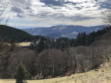
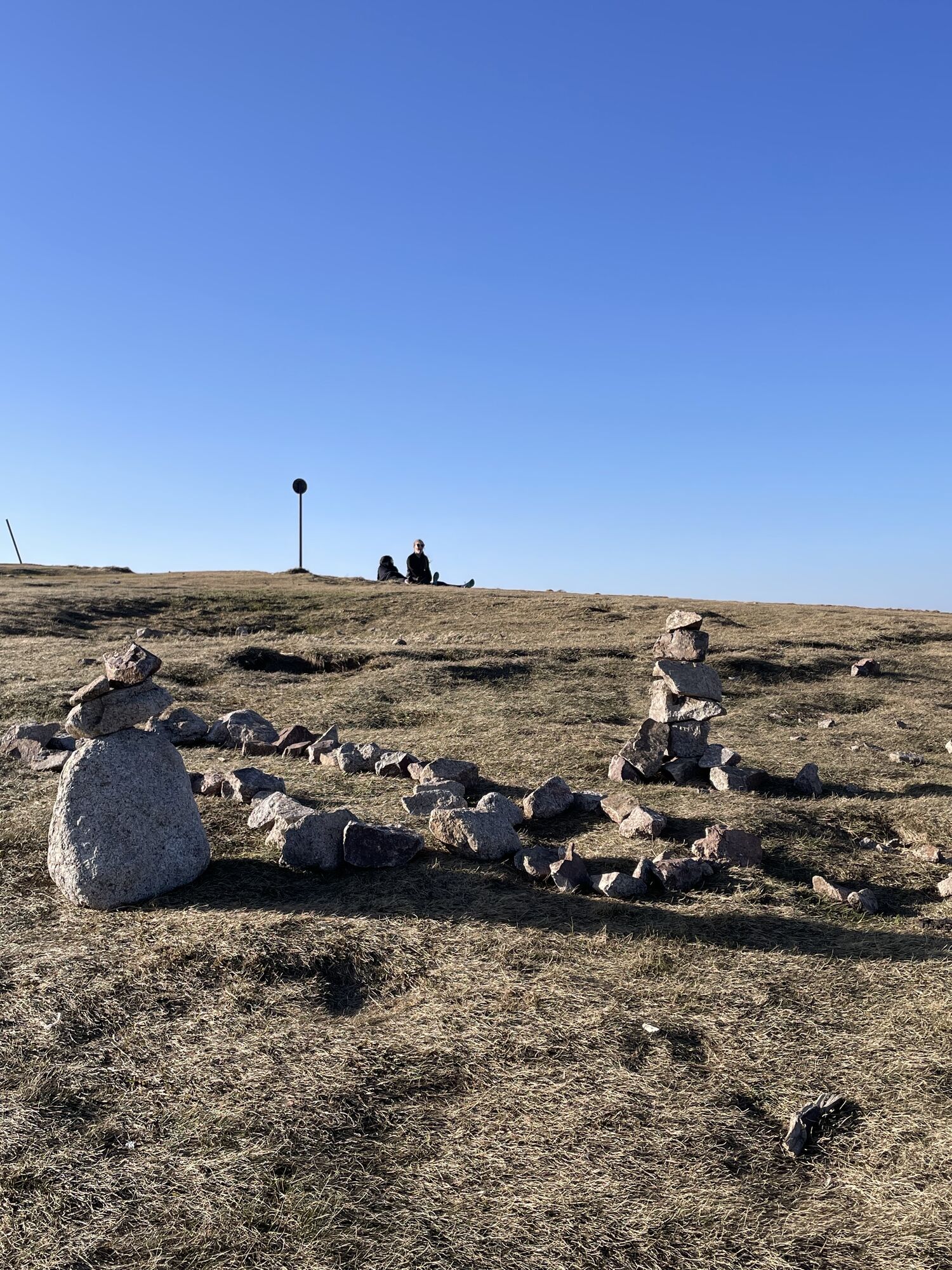
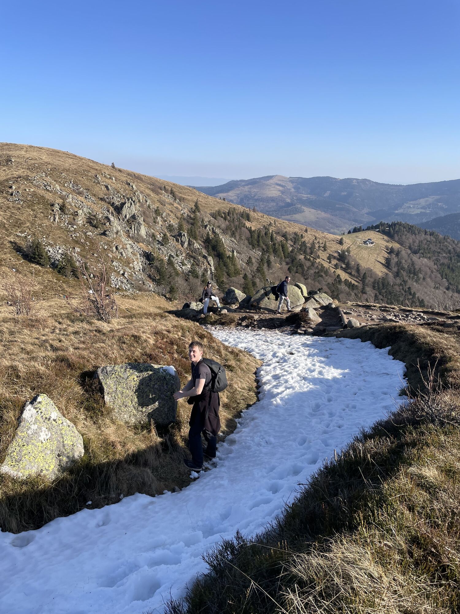
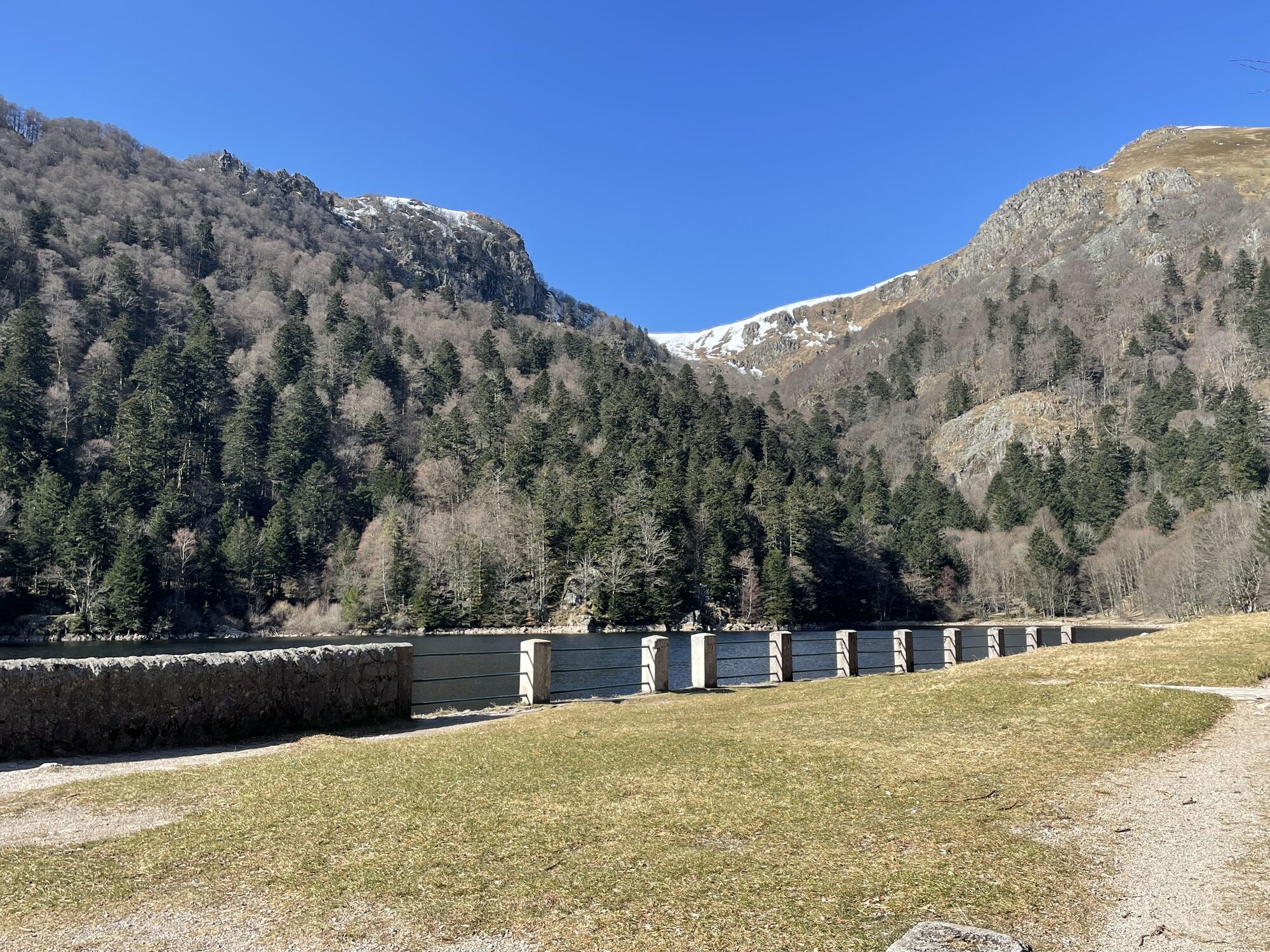
Trail: Le Gaschney - Between peaks and lakes
Fotografije naših uporabnikov
-
 © NanorUstvarjeno na 27.02.2026
 -
 © NanorUstvarjeno na 27.02.2026
 -
 © NanorUstvarjeno na 27.02.2026
 -
 © NanorUstvarjeno na 27.02.2026
 -
 © NanorUstvarjeno na 27.02.2026
 -
 © Pascal huardUstvarjeno na 18.08.2025
 -
 © Pascal huardUstvarjeno na 18.08.2025
 -
 © Noreen (NoKe)Ustvarjeno na 15.05.2025
 -
 © KatharinaUstvarjeno na 12.04.2025
 -
 © KatharinaUstvarjeno na 12.04.2025
 -
 © KatharinaUstvarjeno na 12.04.2025
 -
 © KatharinaUstvarjeno na 12.04.2025
 -
 © Jack ROMANUstvarjeno na 22.03.2025
 -
 © Jack ROMANUstvarjeno na 22.03.2025
 -
 © Jack ROMANUstvarjeno na 22.03.2025
 -
 © Jack ROMANUstvarjeno na 22.03.2025
 -
 © Jack ROMANUstvarjeno na 22.03.2025
 -
 © Jack ROMANUstvarjeno na 22.03.2025
 -
 © Jack ROMANUstvarjeno na 22.03.2025
 -
 © Jack ROMANUstvarjeno na 22.03.2025

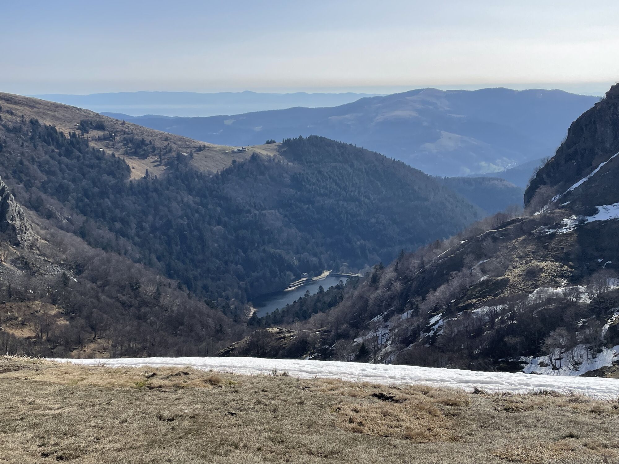

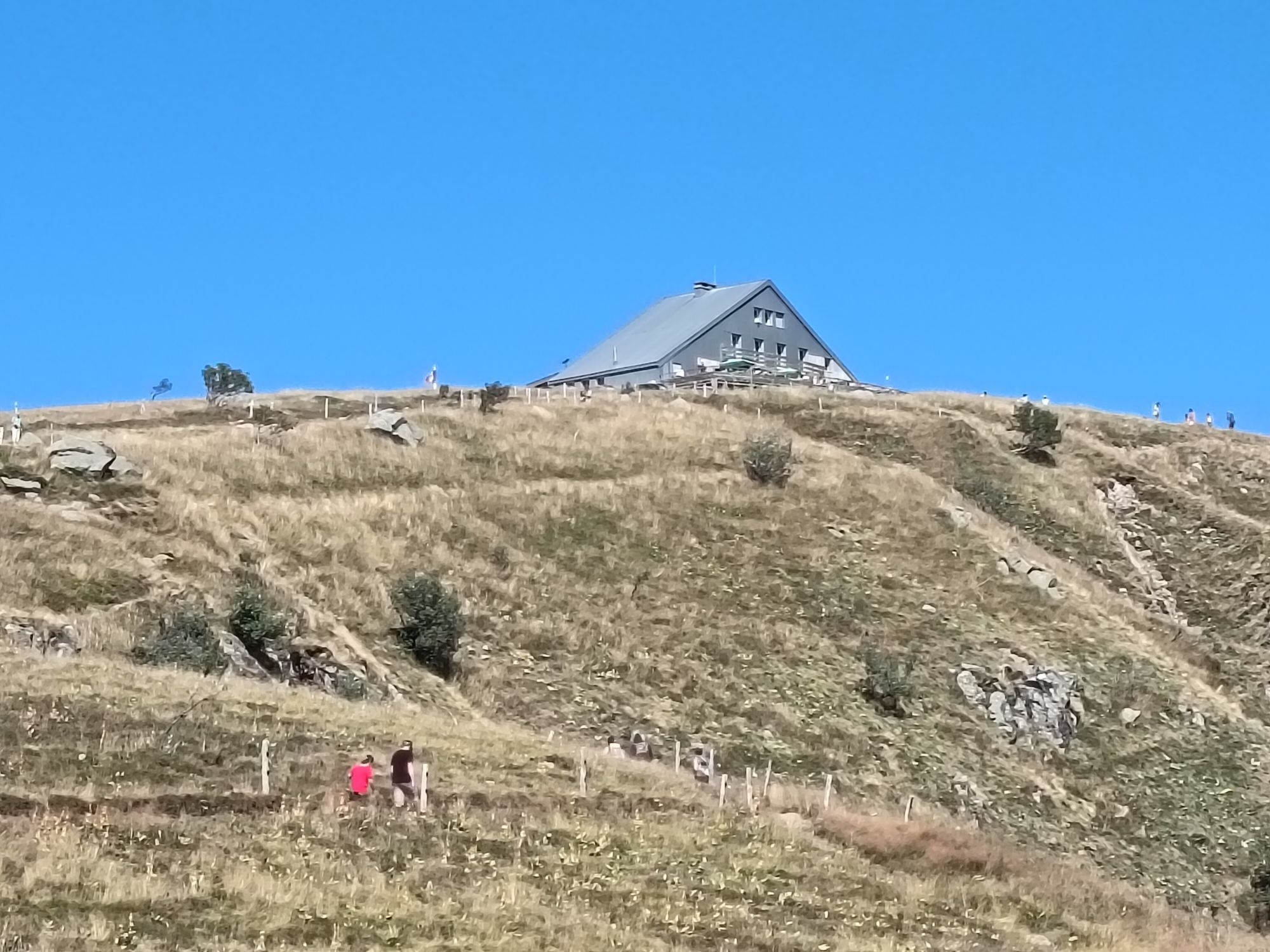
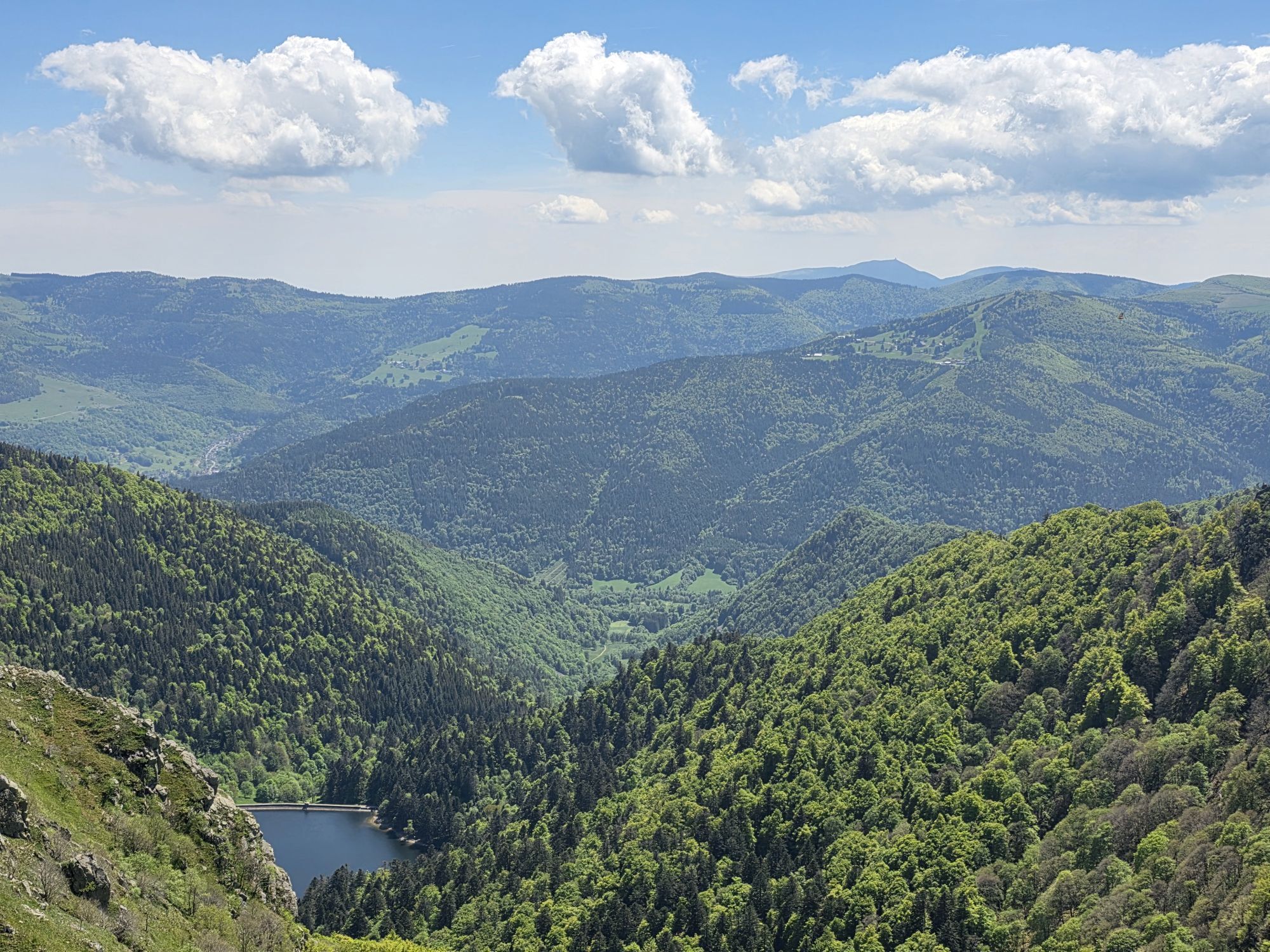
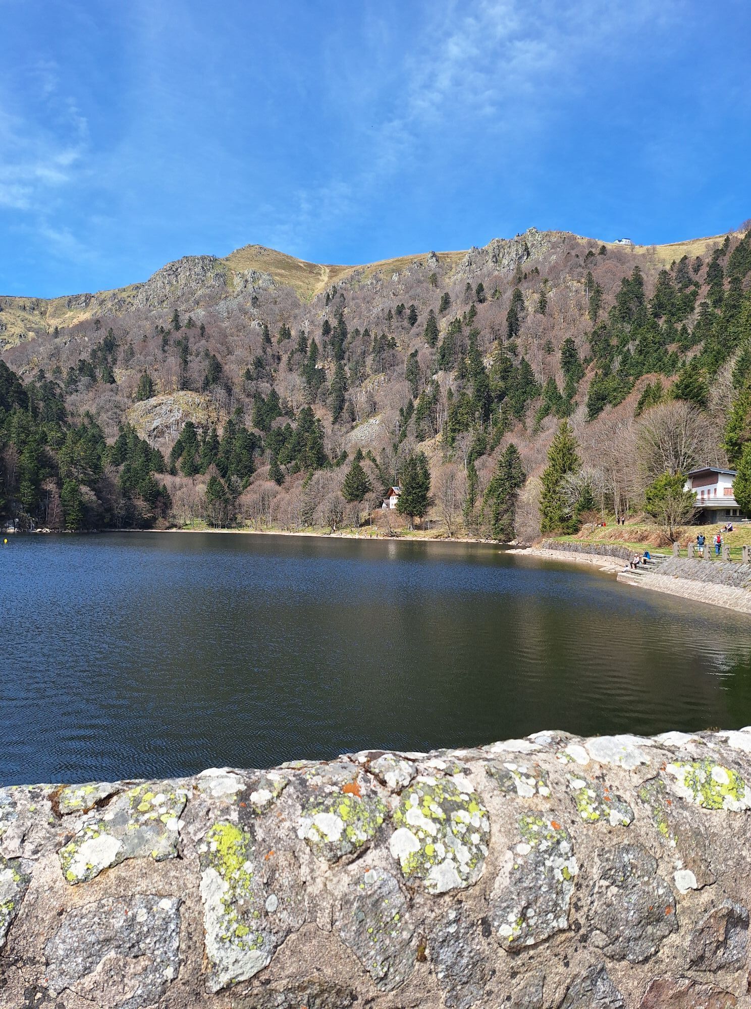

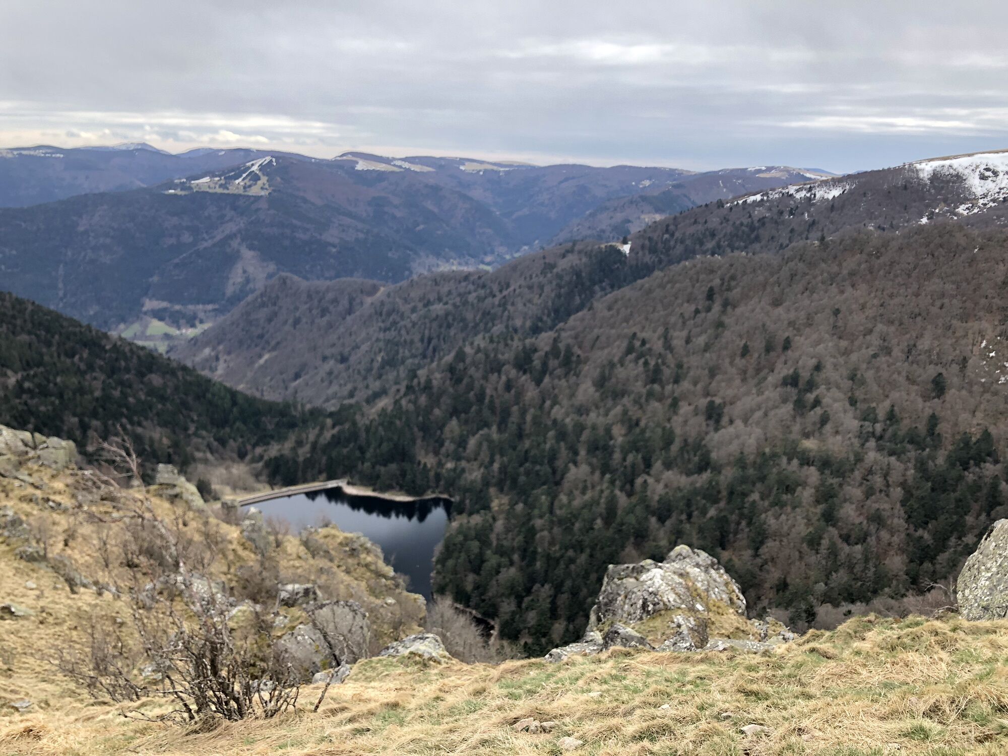


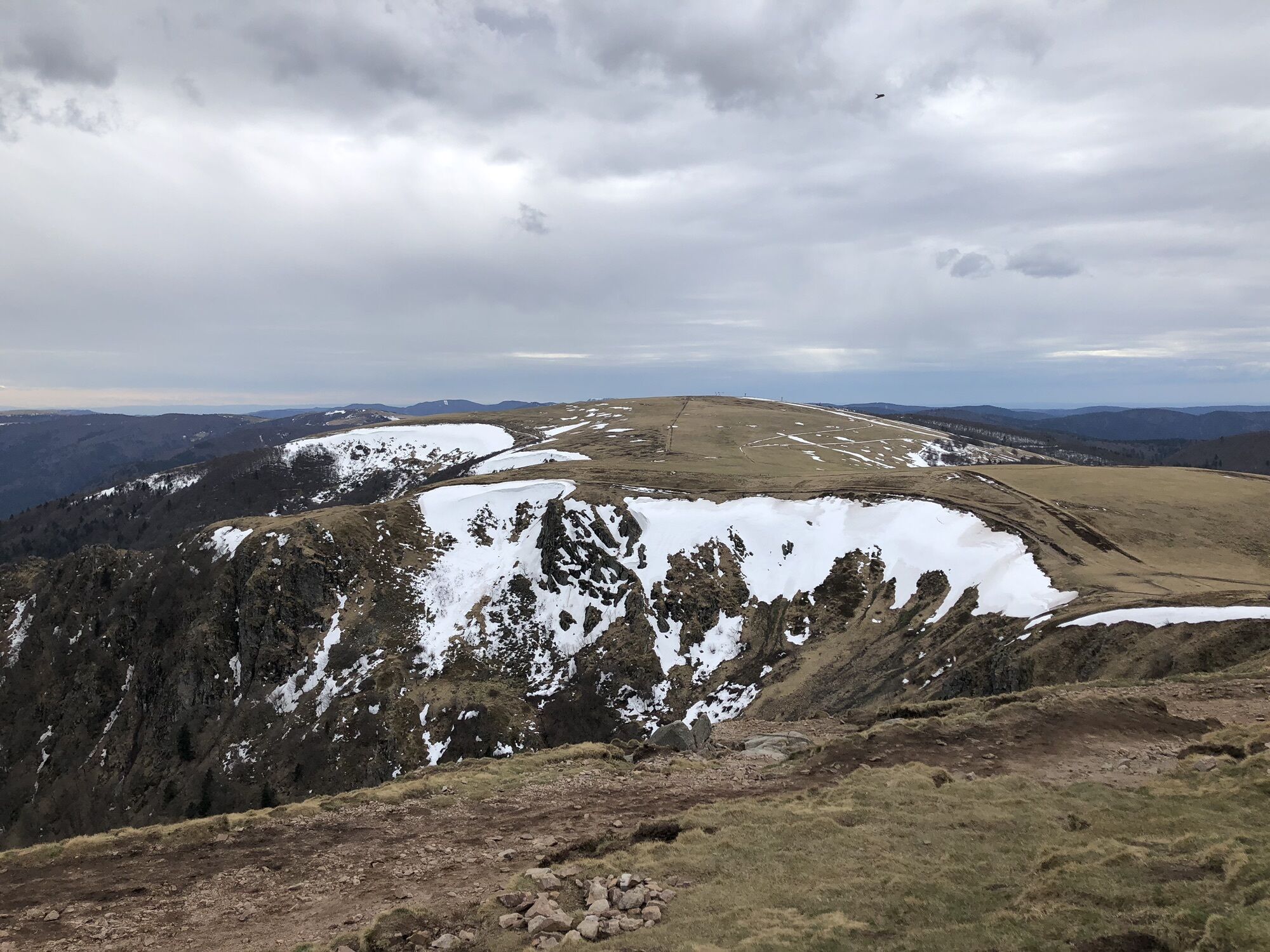
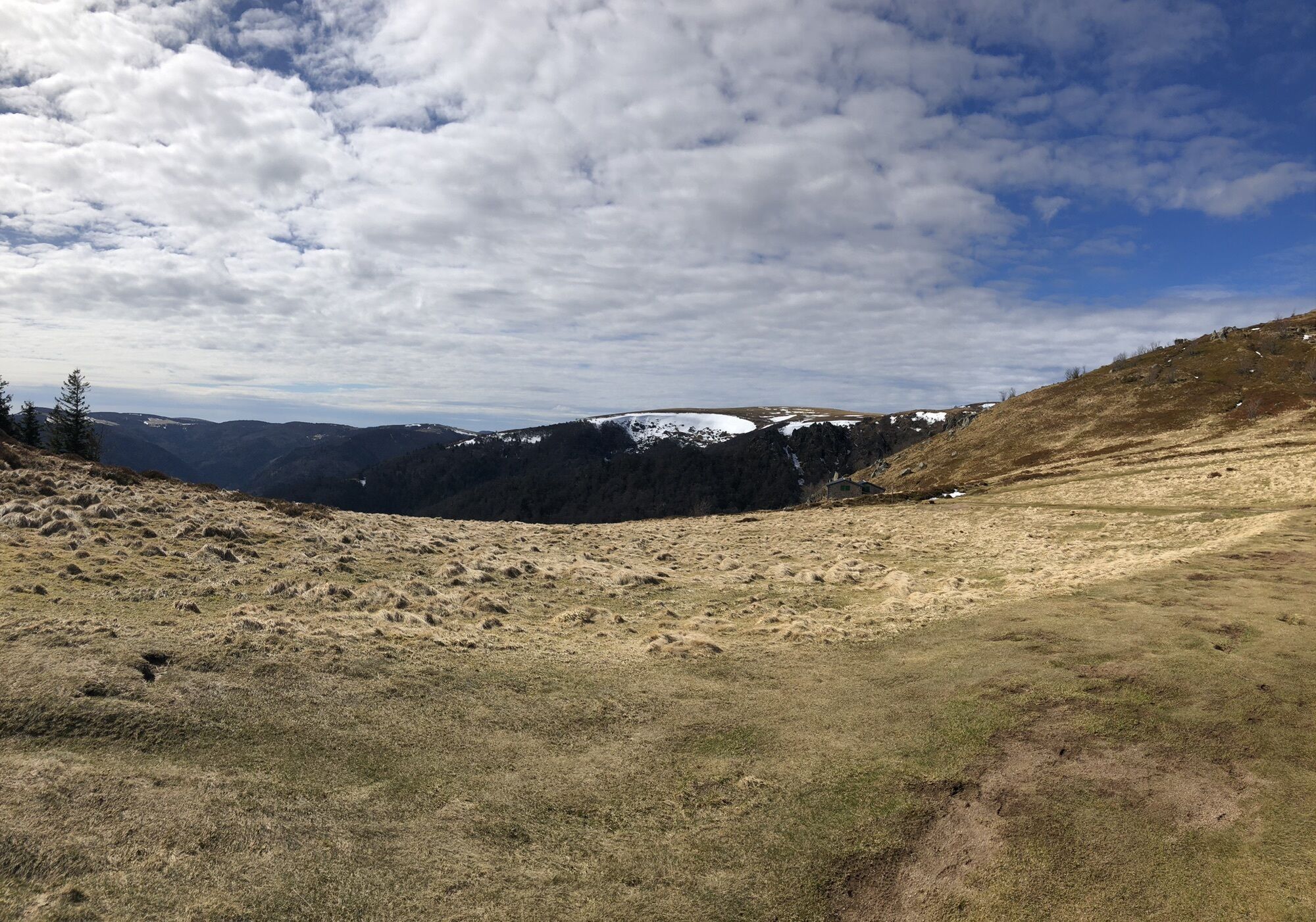
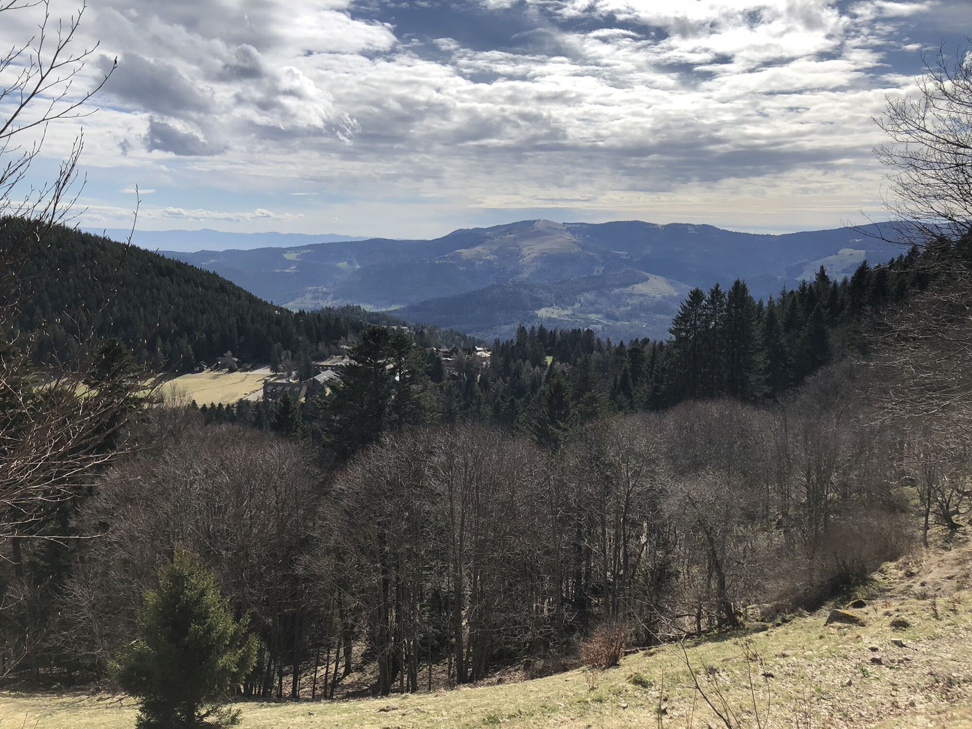
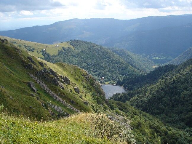
Reach the Hinterschallern (blue rectangle*). Climb then cross the slopes (blue triangle). Climb to the Hohneck (red rectangle) and follow the ridges (red and white rectangle). At Firstmiss, turn left (blue...
Reach the Hinterschallern (blue rectangle*). Climb then cross the slopes (blue triangle). Climb to the Hohneck (red rectangle) and follow the ridges (red and white rectangle). At Firstmiss, turn left (blue rect.) to go around the Kastelberg (yellow cross). Descend via Kerbholz (blue rect.) to Lac du Fischboedle (blue cross). Ascent to Schiessrothried lake (red rect.) and Gaschney (blue rect.). (* Trail routes are mainly on Club Vosgien marked trails. In each sector, follow the corresponding symbol in the direction indicated).

https://apps.tourisme-alsace.info/photos/munster/photos/231010789_d1.pdf
Clothing adapted to the season and conditions (cold, hot, wet...)
Hiking shoes suited to the terrain (even for children!)
Telescopic poles (useful for stability and joint relief)
Cell phone and spare battery if necessary
Call 112 (European emergency number)
5 key points for transmitting your alert:
Where? town, location, route, altitude
Who? identity, telephone number
What? type of accident, number of victims, severity, fall kinetics
When? time of accidentWeather? wind, visibility
Gaschney 68140 Stosswihr
www.fluo.eu
Gaschney 68140 Stosswihr
1 rue du Couvent
68140 Munster
Tel: 03 89 77 31 80
contact@vallee-munster.eu
www.vallee-munster.eu
Priljubljeni izleti v okolici
-
4.3
Hiking route - the circuit of the 3 lakes
srednjaPohodništvo 12.7 km -
5.0
Le tétras bistrot - Hohneck - Chapelle Notre-Dame-des-Chaumes - Brasserie de la Schlucht
težkoPohodništvo 10.7 km -
Vogesen Col de la Schlucht
težkoPohodništvo 19.3 km -
Grand Ballon route in 3 days
težkoPohodništvo v daljavo 54.2 km -
4.3
Hike around Lake Gérardmer
svetlobaPohodništvo 5.49 km -
Tour de l'Altenweiher et Rainkopf, Mittlach, France
srednjaPohodništvo 12.6 km -
4.7
Balade Longemer Col des Feignes
srednjaPohodništvo 8.83 km -
5.0
Hiking route: The Wormsa waterfalls and Fischboedle lake
srednjaPohodništvo 8.15 km -
Wald, Moor und Panorama
srednjaPohodništvo 9.56 km -
Crossing the Vosges Mountains - Stage 15 - Col de la Schlucht - Le Markstein
težkoPohodništvo v daljavo 26.9 km
Pohodništvo in sledenje


Ne zamudite ponudb in navdiha za naslednje počitnice
Vaš e-poštni naslov je bil dodan na poštni seznam.