







Heritage Loop No. 20 - The Valley of the Lakes
Stopnja težavnosti: 3
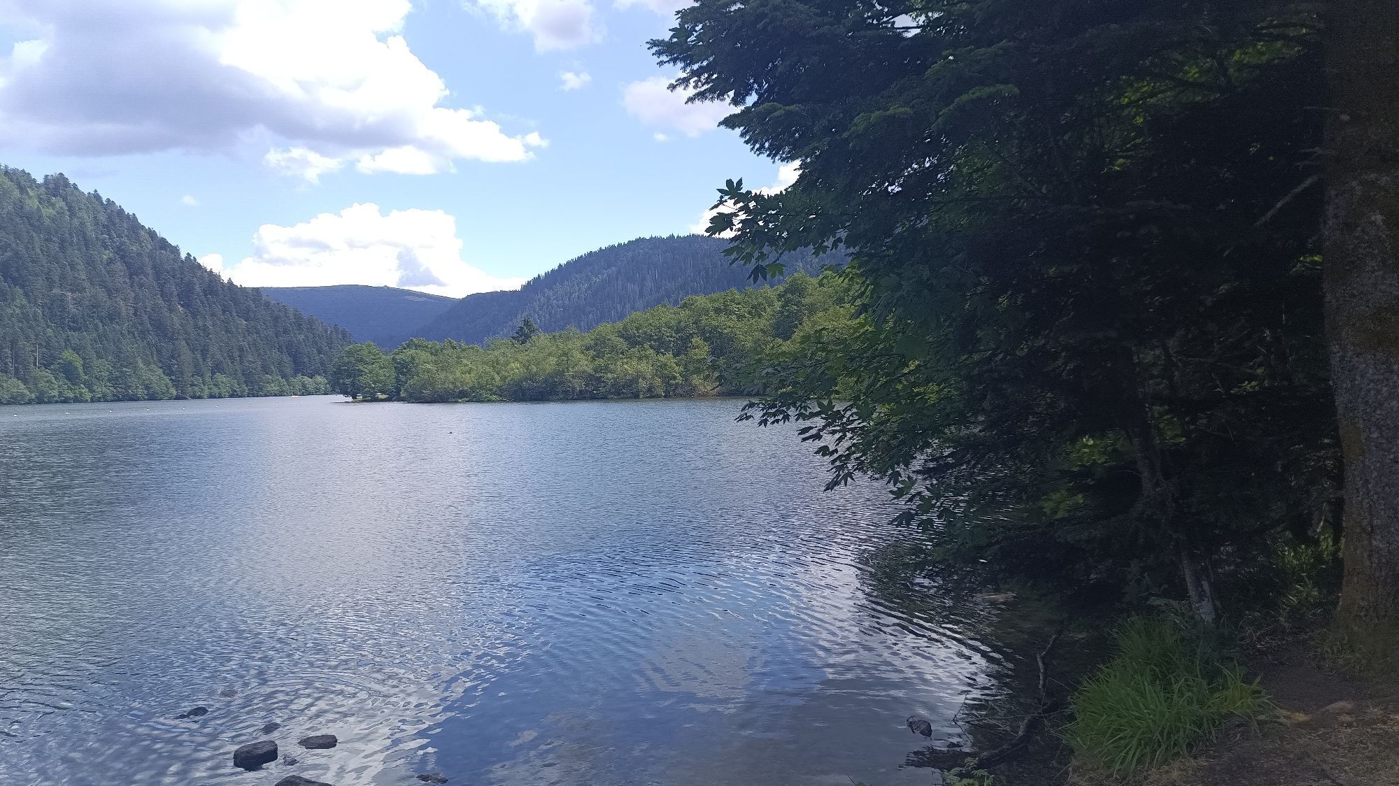

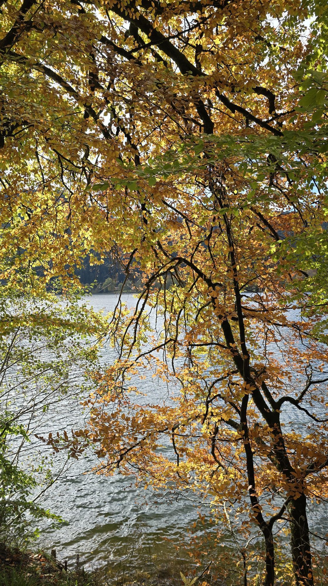
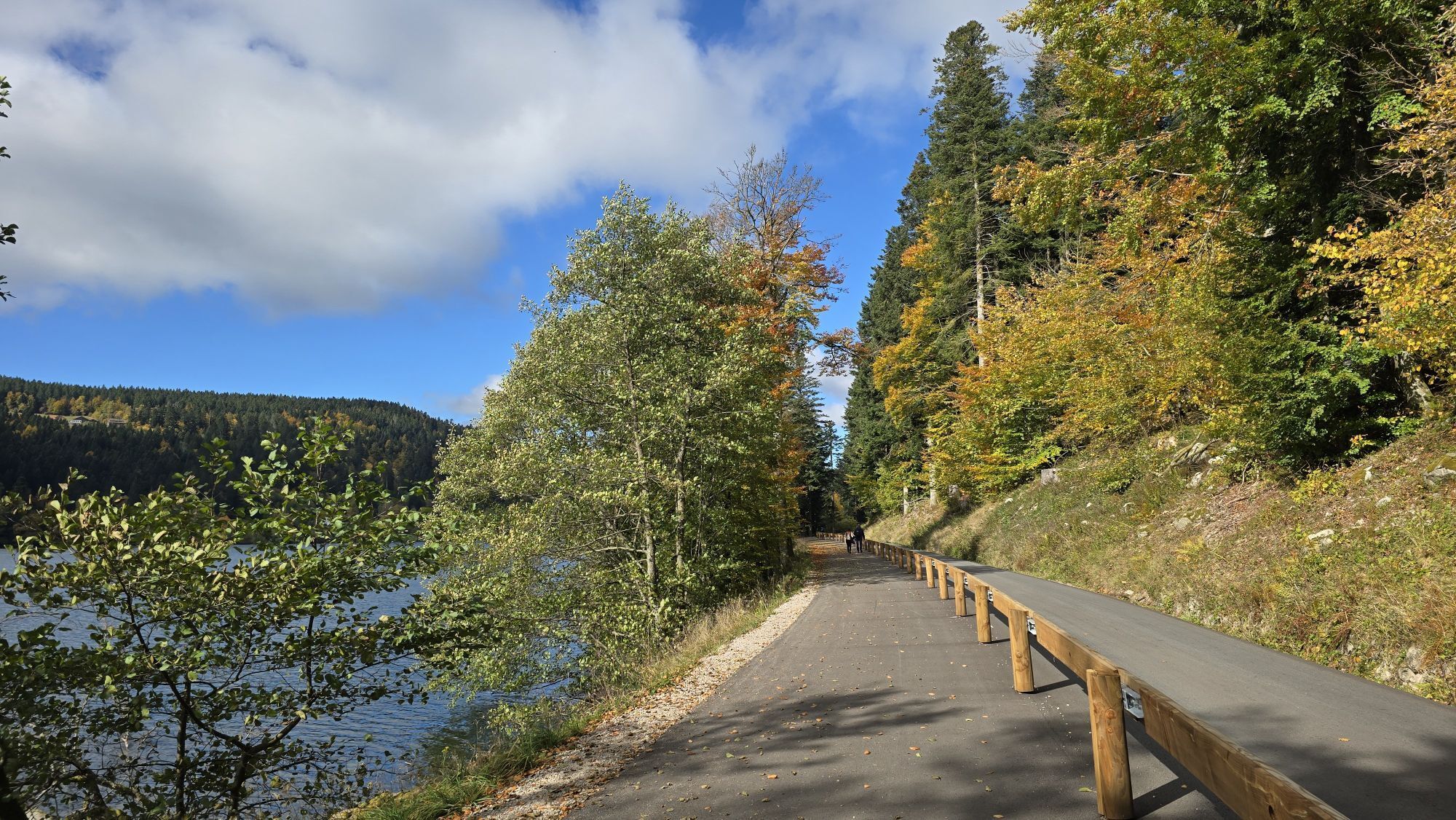
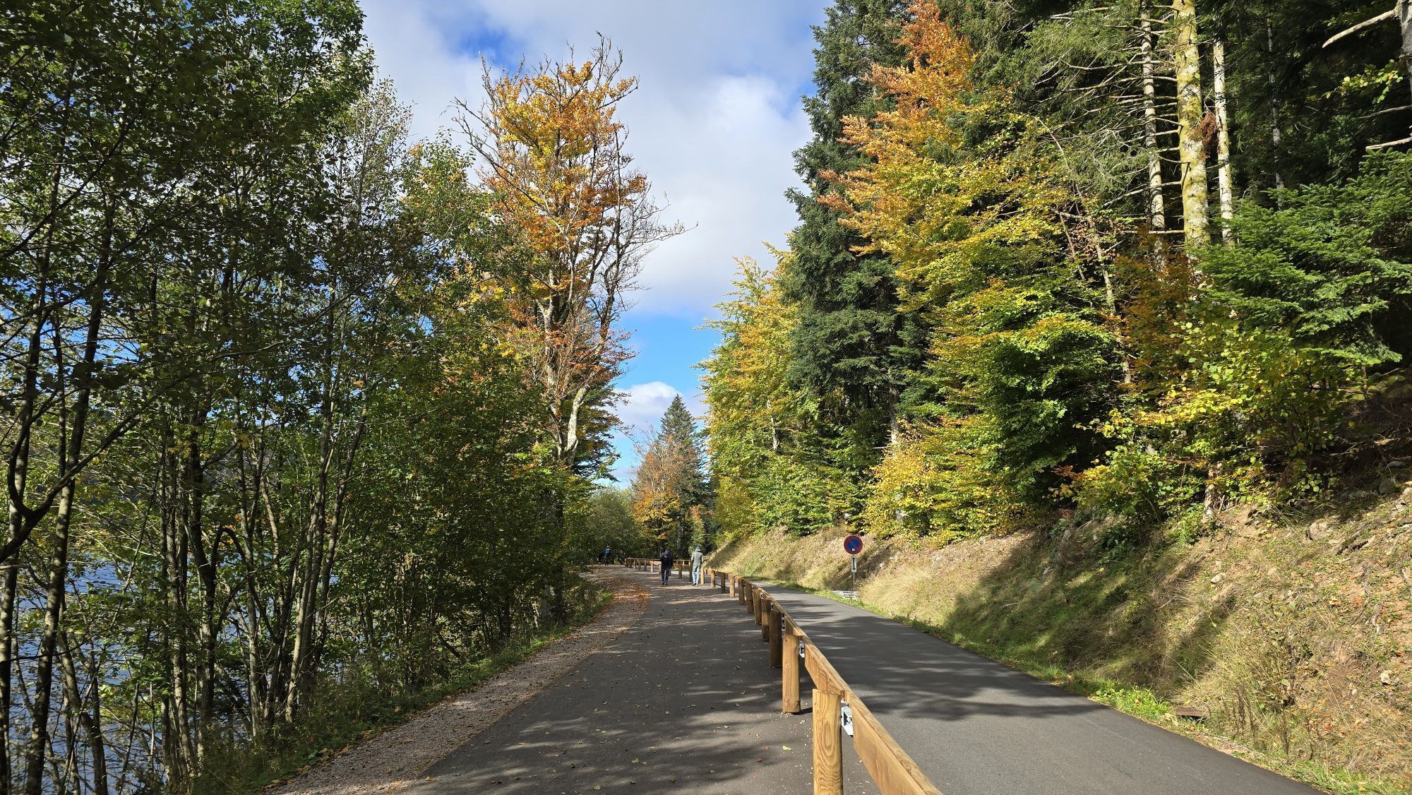
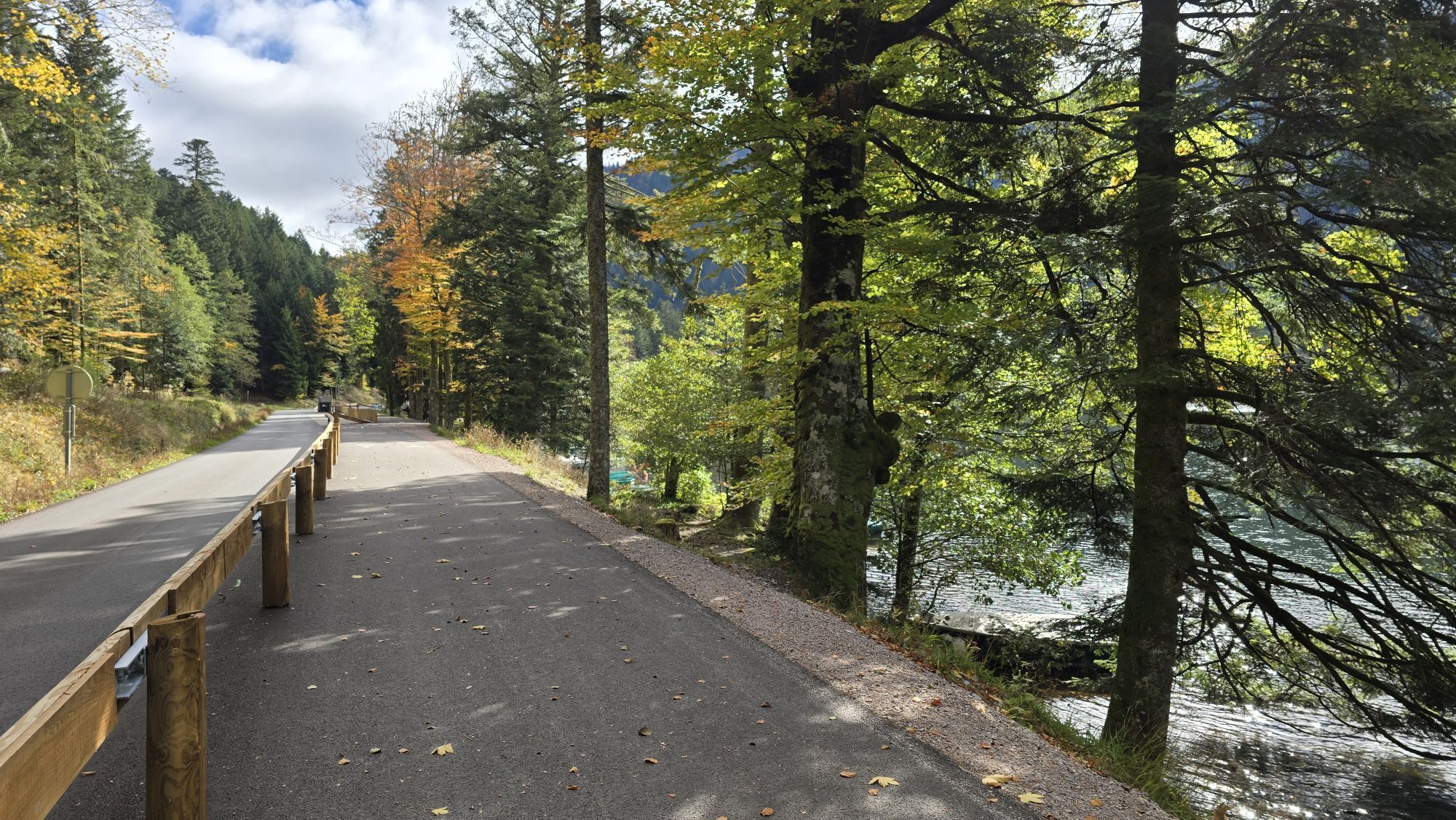
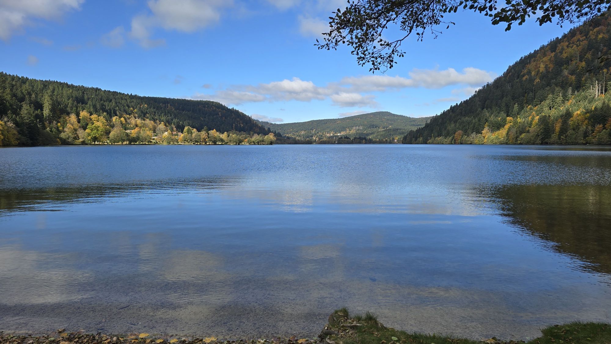
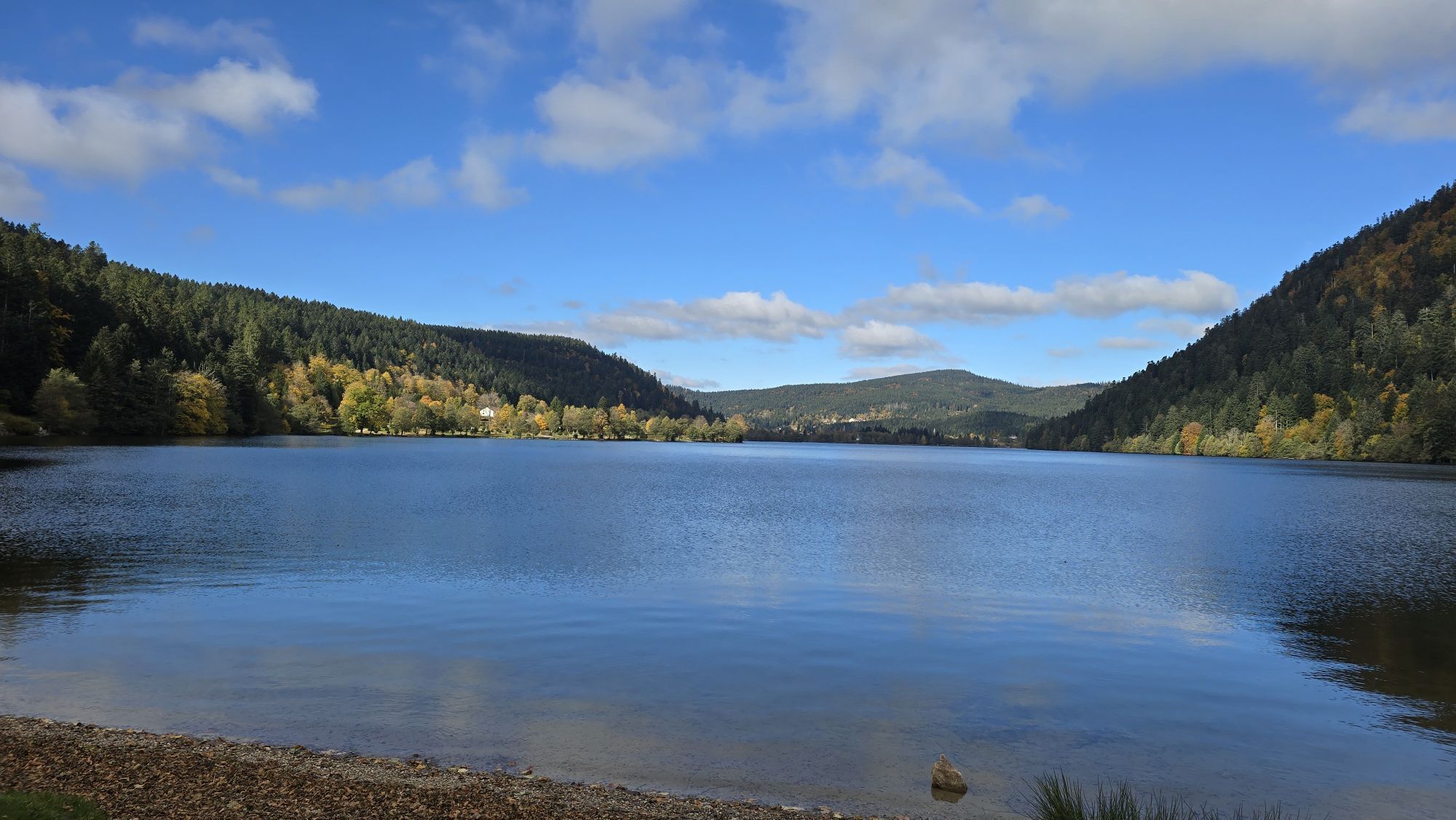
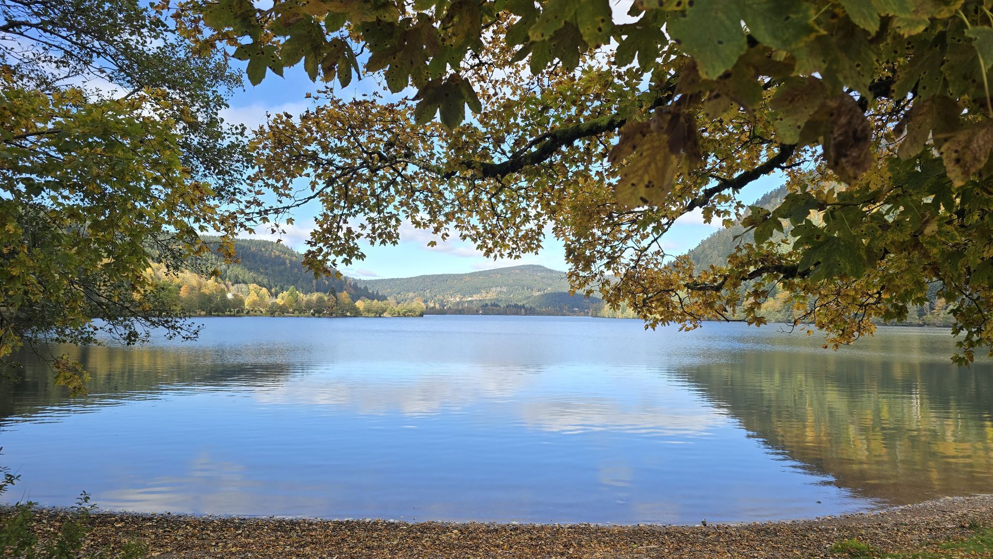
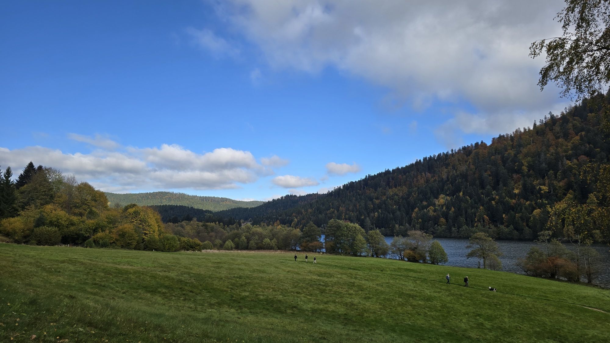
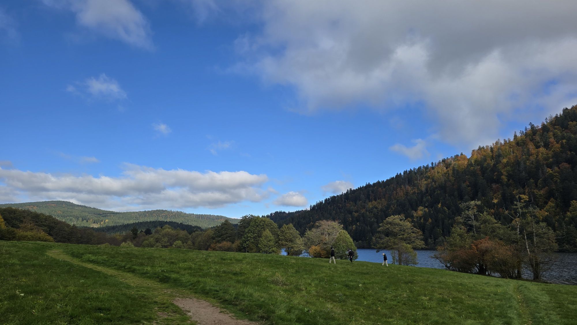
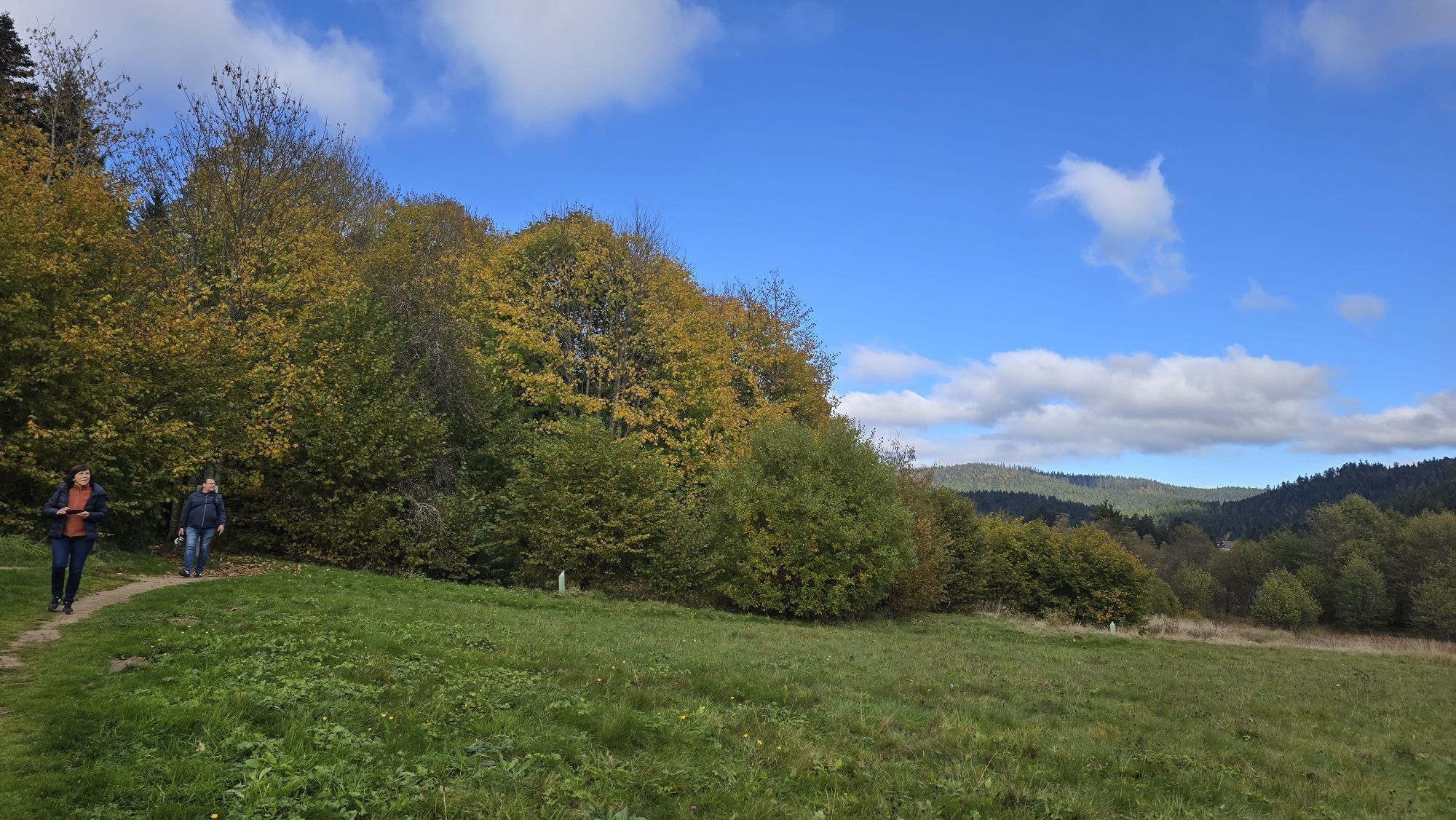

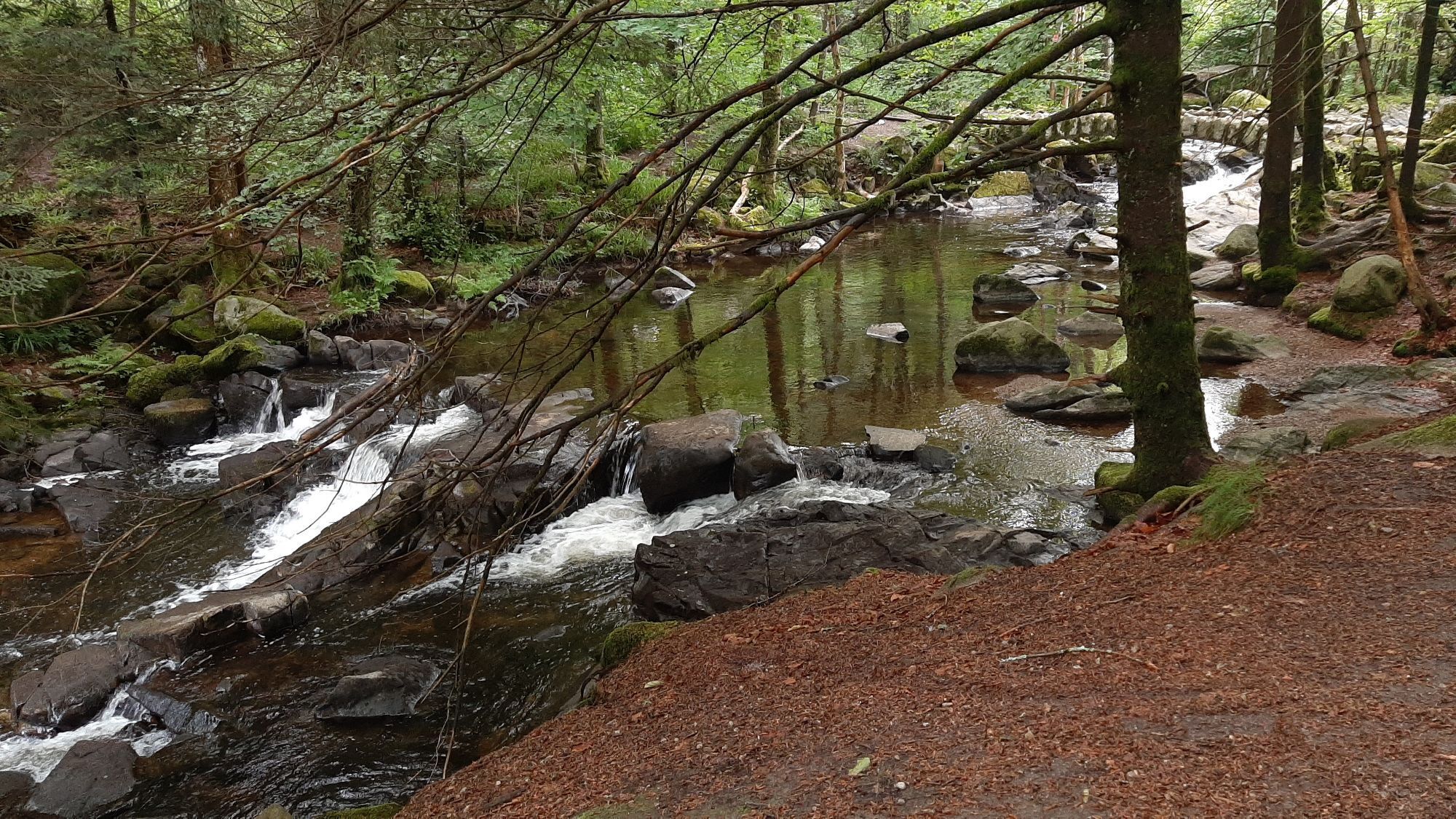

Marked 33km route with 500m elevation gain starting from Place des Déportés opposite the Tourist Office. Head towards the lake following directions to Le Tholy Epinal until the Bout du Lac roundabout where...
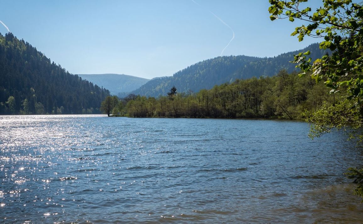
Marked 33km route with 500m elevation gain starting from Place des Déportés opposite the Tourist Office. Head towards the lake following directions to Le Tholy Epinal until the Bout du Lac roundabout where you will turn left to return to Gérardmer. Cross the town and at the exit, turn right to take the Rochires Forest Road leading to the 4 Feignes above Xonrupt. Descend to the centre of Xonrupt, then turn right at the roundabout near the town hall to head to Longemer lake. Circle the lake to return to the crossroads at the foot of the La Schlucht Pass where you turn left then right onto the Montée des Broches which you will follow to the Surceneux Pass. At the pass, take the road to the left towards Xonrupt, then very quickly right onto the Béheuille Forest Road which allows you to reach the Martimpré Pass road (about 100m before the summit). Descend left on the D8 direction Gérardmer to arrive at Saut des Cuves. Just before the bridge, take the Holveck path (dirt) on the right which gently descends to the Pont des Fées where you will turn left to go back up on the path of the same name. You will then join the paved road at the place called la Cercenée followed by the Vieil Etang path, the Bergon and return to the centre of Gérardmer and your starting point via Bd de la Jamagne.

Da
Make sure the bike is in perfect mechanical condition, including tires and brakes
Ensure the bike is properly adjusted to your body shape
Wearing a helmet is highly recommended
Bring a repair kit
Remember that the Highway Code applies to cyclists in all circumstances
Never ride more than two abreast and move into a single file when traffic conditions require it
Respect other road users as you would like to be respected
Choose a route suitable for your physical abilities
Inform those around you of your itinerary
Check the weather conditions
A first aid kit is not essential but can be very useful
Get information and keep emergency service phone numbers.
Respect the environment by not throwing food wrappers on the roadside
If you must return at dusk, make sure you can see and be seen
Carry a valid identity document: some routes cross borders.
Carry enough water and provisions in your saddlebags.
Check weather forecasts before leaving and bring appropriate clothing. Sunscreen and rainwear may also be useful.
Plan your route taking into account everyone's physical condition. Be prudent and do not overestimate your abilities.
For your safety, wearing a helmet is strongly recommended.
Have a technical check of your bike before setting off and make sure it has all required equipment (lighting, reflectors, bell, brakes, etc.).
Don't forget your mobile phone, charged before departure.
Finally, consider the different currencies. In Germany and France, payments are made in euro (EUR) while in Switzerland, the Swiss franc (CHF) is used.
Gérardmer (88)
www.fluo.eu
Free parking on site
3
TOURIST OFFICE GERARDMER HAUTES VOSGES 4 place des Déportés 88401 GERARDMER CEDEX 03 29 27 27 27
Pridobite vpogled
Vedno v živo na mestu z več kot 9.500 spletnimi kamerami. bergfex Kot uporabnik Pro si lahko zdaj ogledate ustrezne spletne kamere za številne izlete v aplikaciji izleti iz. Tako si lahko neposredno ogledate trenutne razmere.
Priljubljeni izleti v okolici
-
4.3
Hiking route - the circuit of the 3 lakes
srednjaPohodništvo 12.7 km -
5.0
Le tétras bistrot - Hohneck - Chapelle Notre-Dame-des-Chaumes - Brasserie de la Schlucht
težkoPohodništvo 10.7 km -
4.5
Hike around Lake Gérardmer
svetlobaPohodništvo 5.49 km -
5.0
Vogesen Col de la Schlucht
težkoPohodništvo 19.3 km -
Grand Ballon route in 3 days
težkoPohodništvo v daljavo 54.2 km -
Tour de l'Altenweiher et Rainkopf, Mittlach, France
srednjaPohodništvo 12.6 km -
4.8
Longemer Col des Feignes Walk
srednjaPohodništvo 8.83 km -
4.7
The Lac Blanc ridge
svetlobaPohodništvo 5 km -
5.0
From the Schlucht to the Hohneck
srednjaPohodništvo 8.21 km -
5.0
Hiking route: The Wormsa waterfalls and Fischboedle lake
srednjaPohodništvo 8.15 km
Pohodništvo in sledenje


Ne zamudite ponudb in navdiha za naslednje počitnice
Vaš e-poštni naslov je bil dodan na poštni seznam.





