
Orschwiller - Chapelle Sainte-Catherine - Église de l'Assomption de la Bienheureuse Vierge Marie - Chapelle du cimetière
težko
Pridobite to turo v svoj mobilni telefon
Orschwiller - Chapelle Sainte-Catherine - Église de l'Assomption de la Bienheureuse Vierge Marie - Chapelle du cimetière
težko
Kolesarjenje
44.83
km
Skenirajte kodo QR in začnite navigacijo v aplikaciji bergfex.


Pohodništvo in sledenje



Orschwiller - Chapelle Sainte-Catherine - Église de l'Assomption de la Bienheureuse Vierge Marie - Chapelle du cimetière
težko
Razdalja
44.8
km
Trajanje
03:18
h
Ascent
759
hm
Morska gladina
187 -
373
m

V aplikaciji si oglej pot
Brezplačno namestite aplikacijo in spremljajte pot z GPS-navigacijo in sledenjem.
bergfex zdaj uporabljaj v aplikaciji
S kamero poskeniraj QR-kodo
Ko je aplikacija nameščena, se vsebina odpre takoj. Če aplikacije še nimaš, te bo preusmerila na stran za brezplačen prenos.
Prenos skladbe
Orschwiller - Chapelle Sainte-Catherine - Église de l'Assomption de la Bienheureuse Vierge Marie - Chapelle du cimetière
težko
Kolesarjenje
44.83
km
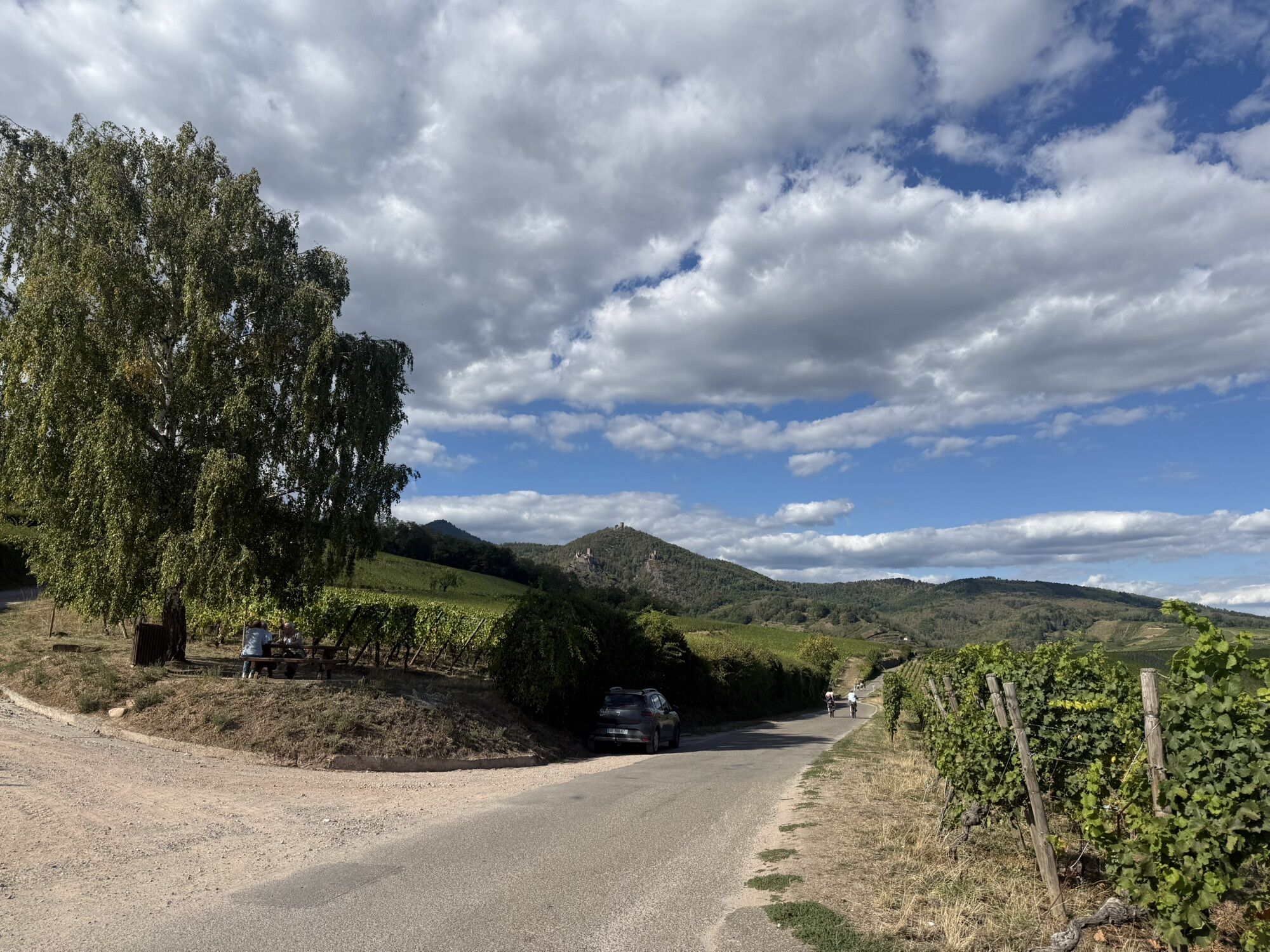
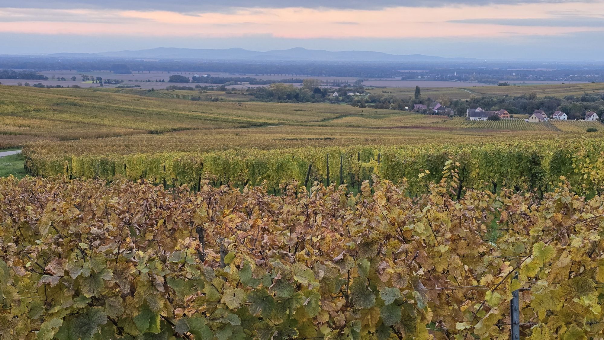
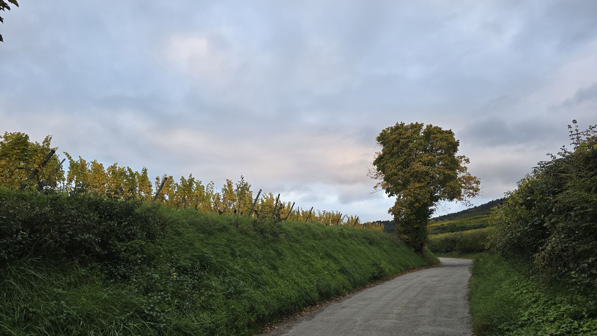
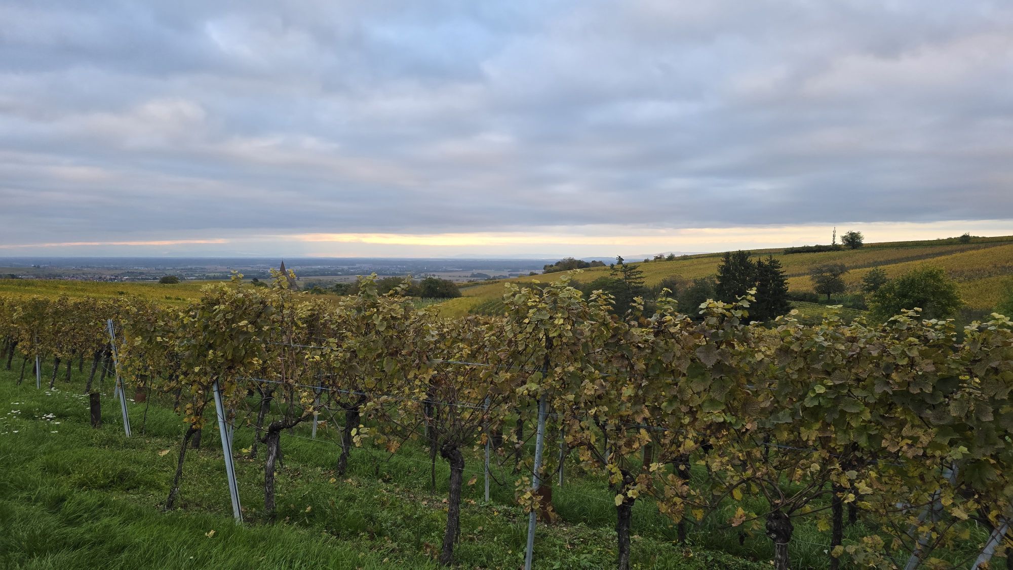
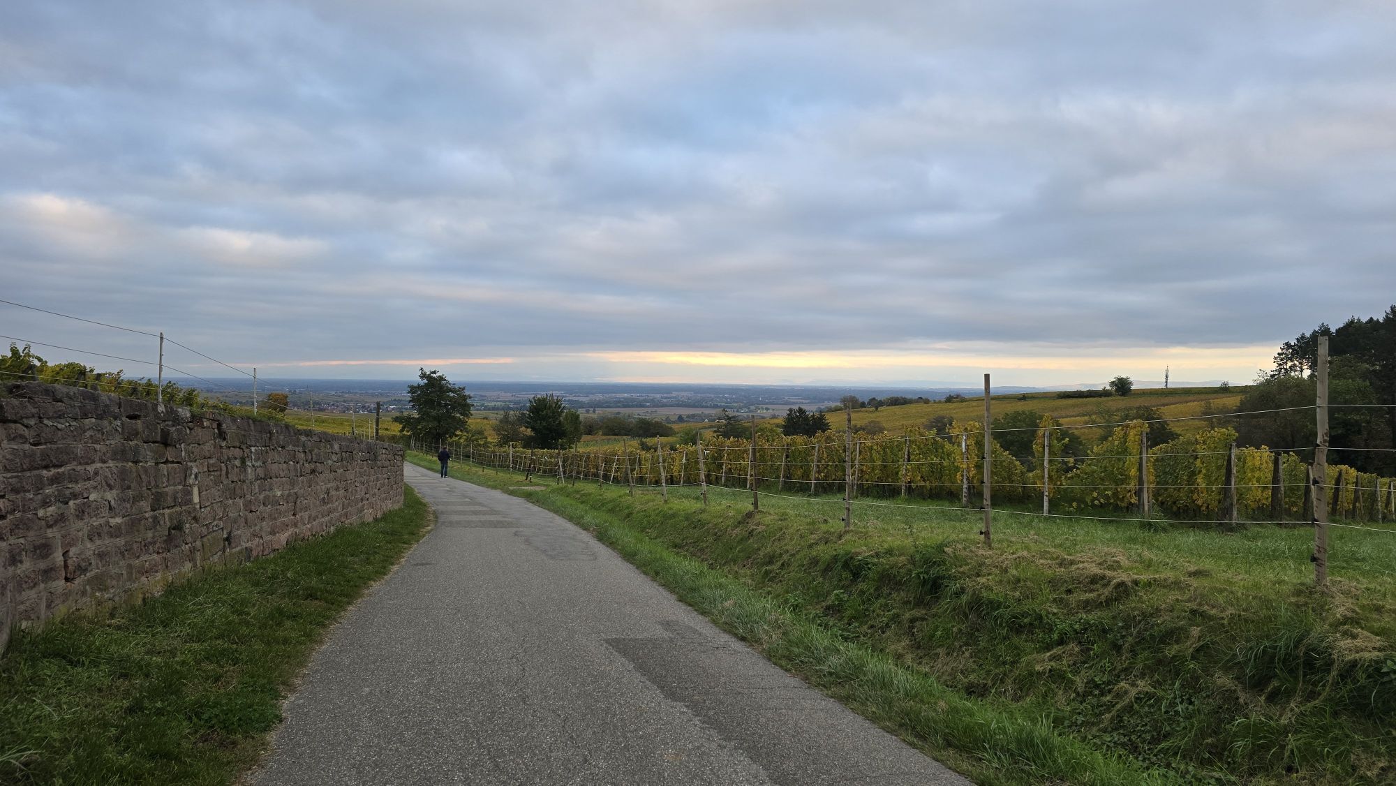
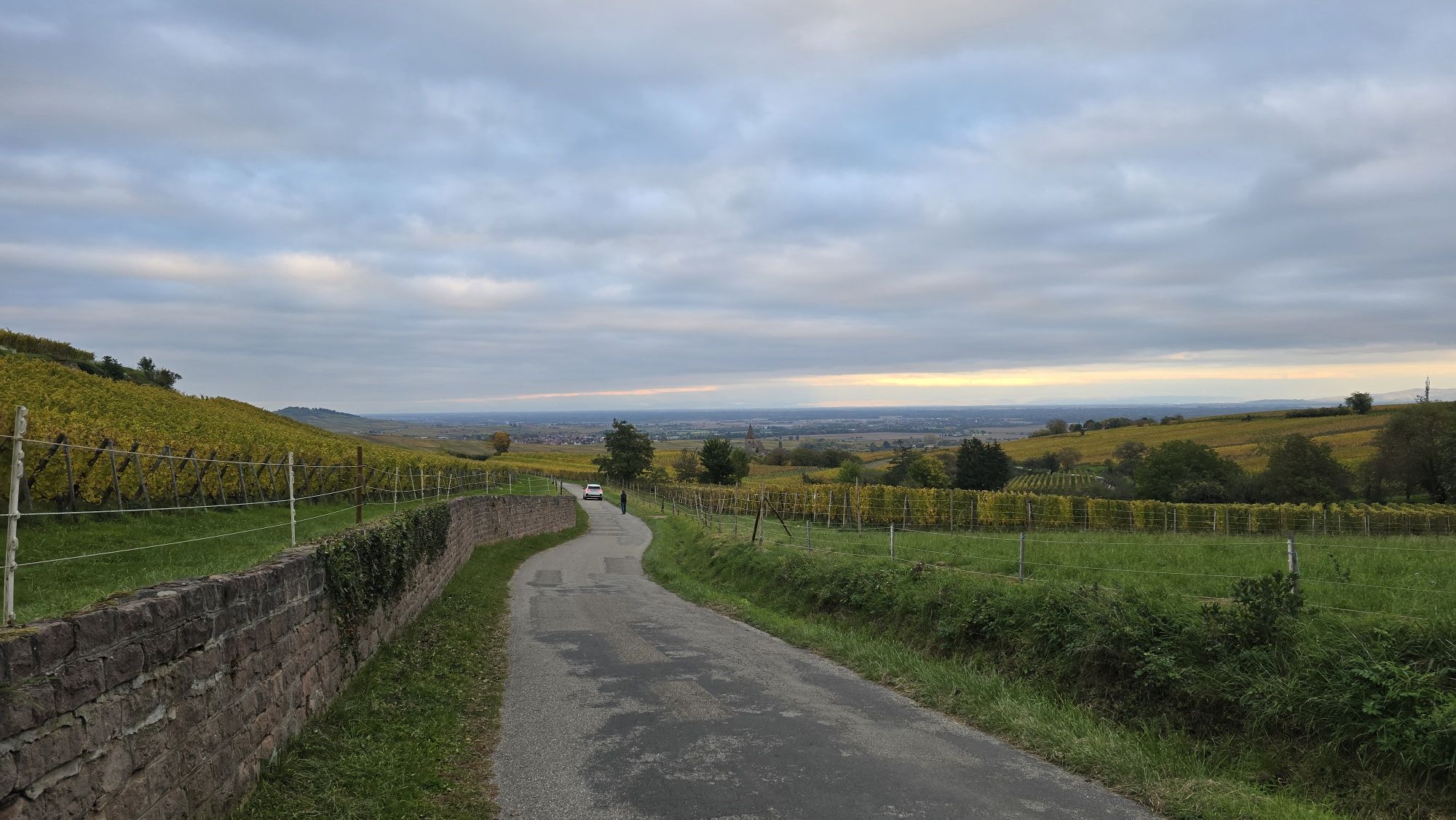
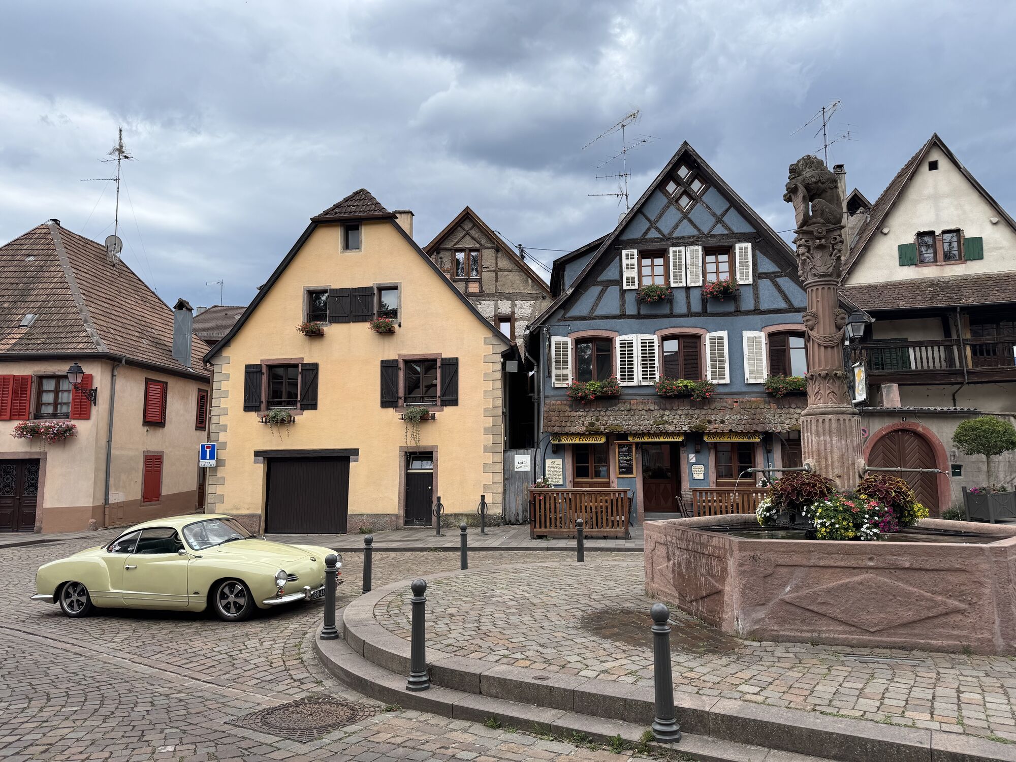
Pot
Orschwiller
(245 m)
Vas
0.0 km
Couvent de la Divine Providence
(252 m)
Kraj čaščenja
10.1 km
Riquewihr
(296 m)
Vas
16.9 km
Église Catholique Sainte-Marguerite
(304 m)
Kraj čaščenja
17.1 km
Kientzheim
(224 m)
Vas
20.7 km
Chapelle de la Sainte-Famille
(243 m)
Kraj čaščenja
34.8 km
Chapelle du cimetière
(207 m)
Kraj čaščenja
39.6 km
Pot
Orschwiller - Chapelle Sainte-Catherine - Église de l'Assomption de la Bienheureuse Vierge Marie - Chapelle du cimetière
težko
Kolesarjenje
44.83
km
Orschwiller
(245 m)
Vas
0.0 km
Viehweg
(206 m)
Koridor/teren
0.5 km
Alte Strasse de Roschwihr
(195 m)
Koridor/teren
2.8 km
Rorschwihr
(234 m)
Vas
4.5 km
Bergheim
(209 m)
Vas
5.6 km
Bockenbruck
(215 m)
Koridor/teren
5.9 km
Ribeauvillé
(241 m)
Vas
9.5 km
Chapelle Sainte-Catherine
(247 m)
Kraj čaščenja
9.9 km
Couvent de la Divine Providence
(252 m)
Kraj čaščenja
10.1 km
Hunawihr
(257 m)
Vas
13.2 km
Rimelsberg
(279 m)
Koridor/teren
14.4 km
Suppler
(274 m)
Koridor/teren
14.6 km
Zellenberg
(271 m)
Vas
14.9 km
Église Protestante Sainte-Marguerite
(300 m)
Kraj čaščenja
16.8 km
Riquewihr
(296 m)
Vas
16.9 km
Église Catholique Sainte-Marguerite
(304 m)
Kraj čaščenja
17.1 km
Le Hagelgraben
(317 m)
Vir:
18.8 km
Grafreben
(264 m)
Koridor/teren
19.9 km
Kientzheim
(224 m)
Vas
20.7 km
Kaysersberg
(249 m)
Vas
22.8 km
Weinbaechle
(232 m)
Koridor/teren
24.0 km
Kientzheim
(224 m)
Vas
24.9 km
Grafreben
(264 m)
Koridor/teren
25.8 km
Le Hagelgraben
(317 m)
Vir:
26.8 km
Riquewihr
(296 m)
Vas
28.3 km
Restaurant Suzel
(277 m)
Restavracija
30.9 km
Caveau du Vigneron
(264 m)
Restavracija
31.1 km
Hunawihr
(257 m)
Vas
31.3 km
Chapelle de la Sainte-Famille
(243 m)
Kraj čaščenja
34.8 km
Ribeauvillé
(241 m)
Vas
34.9 km
Unterer Trottacker
(278 m)
Koridor/teren
36.7 km
Totenpfad
(262 m)
Koridor/teren
37.3 km
Bergheim
(209 m)
Vas
39.3 km
Église de l'Assomption de la Bienheureuse Vierge Marie
(211 m)
Kraj čaščenja
39.5 km
Chapelle du cimetière
(207 m)
Kraj čaščenja
39.6 km
Viehweg
(206 m)
Koridor/teren
44.0 km
Orschwiller
(245 m)
Vas
44.8 km


Še ni pregledov
Priljubljeni izleti v okolici
-
4.3
Hiking route - the circuit of the 3 lakes
srednjaPohodništvo 12.7 km -
4.2
Ribeauvillé-Riquewihr between forest and vineyard
srednjaPohodništvo 12.5 km -
4.6
Eguisheim zu den 3 Burgen
srednjaPohodništvo 7.90 km -
5.0
Vogesen Col de la Schlucht
težkoPohodništvo 19.3 km -
4.7
The Lac Blanc ridge
svetlobaPohodništvo 5 km -
Bike route: BL128 - Around Colmar, capital of Alsace wines
svetlobaKolesarjenje 23.3 km -
4.7
Orbey, Grand Est
srednjaPohodništvo 4.52 km -
Crossing of the Vosges Massif - Stage 14 - Le Bonhomme - Schlucht Pass
srednjaPohodništvo v daljavo 19.4 km -
4.0
Saint Hippolyte - Haut Kœnigsbourg
svetlobaPohodništvo 12.4 km -
4.0
Hohrod - Wanderung in die Zeit des 1. Weltkrieges
srednjaPohodništvo 7.87 km
Pohodništvo in sledenje

Zaradi več kot 550.000 predlogov izletov, podrobnih zemljevidov in intuitivnega načrtovanja poti je aplikacija obvezna oprema za vse ljubitelje narave.

Ne zamudite ponudb in navdiha za naslednje počitnice
Naročite se na novice
Napaka
Zgodila se je napaka. Prosimo, poskusite znova.
Zahvaljujemo se vam za prijavo
Vaš e-poštni naslov je bil dodan na poštni seznam.
Izleti po vsej Evropi
Avstrija
Švica
Nemčija
Italija
Slovenija
Francija
Nizozemska
Belgija
Poljska
Lihtenštajn
Češka
Slovaška
Španija
Chorvátsko
Bosna in Hercegovina
Luksemburg
Andora
පෘතුගාලය
අයිස්ලන්තය
එක්සත් රාජධානිය
අයර්ලන්තය
ග්රීසිය
ඇල්බේනියාව
North Macedonia
Malta
Norway
Montenegro
Moldova
කොසෝවො
හන්ගේරියානු සමුහාණ්ඩුව
San Marino
රුමේනියාව
එස්ටෝනියා
ලැට්වියාව
බෙලාරස්
සයිප්රස්
Lithuania
Serbia
බල්ගේරියාව
Monaco
ඩෙන්මාර්කය
Sweden
ෆින්ලන්තය


