






The Belacker and Gsang MTB FFC route no. 22
Stopnja težavnosti: S2
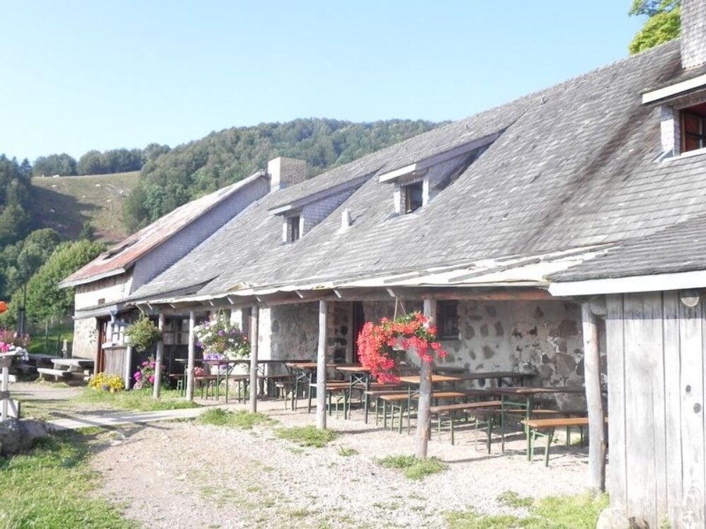
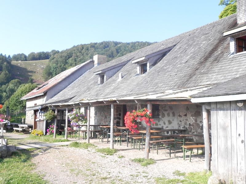
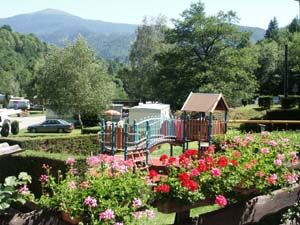
You can then enjoy typical meals with an impressive view over the Thur valley.

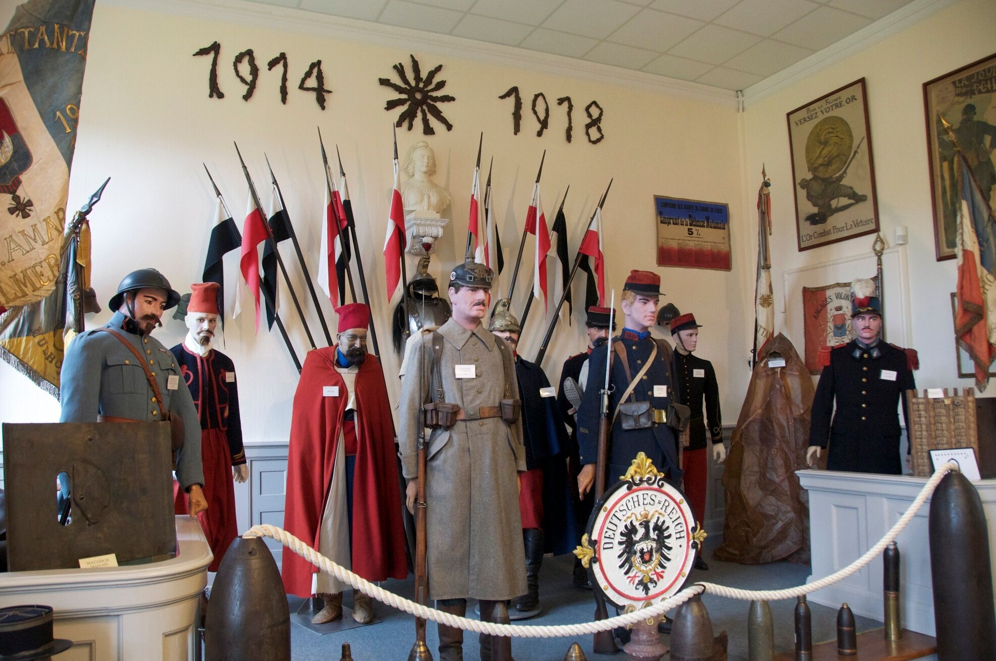
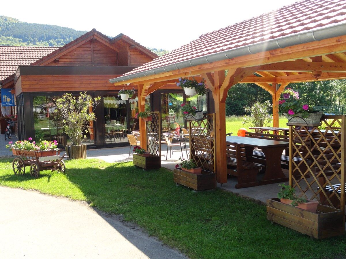
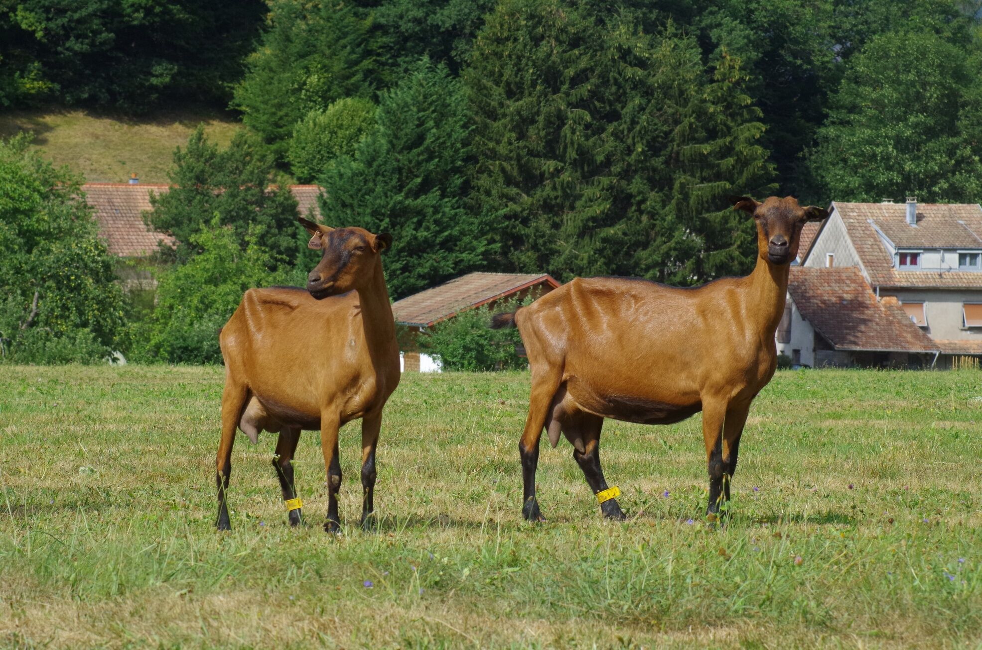

detailed route
Da
Wearing a helmet is highly recommended.
Safety instructions
Emergency number: 112
Mountain biking as you like! but…
Use marked trails for your safety and respect the direction of the routes
Do not overestimate your abilities and stay in control of your speed
Be cautious and courteous when overtaking or crossing hikers as pedestrians have priority
Check the condition of your MTB and plan supplies and repair accessories
If you go alone, leave your route with someone close to you
Respect private property and cultivated areas
Watch out for agricultural and forestry machinery
Close barriers behind you
Avoid wild picking of flowers, fruits, and mushrooms
Do not disturb the peace of wild animals
Take your rubbish with you, be discreet and respectful of the environment
Moosch station
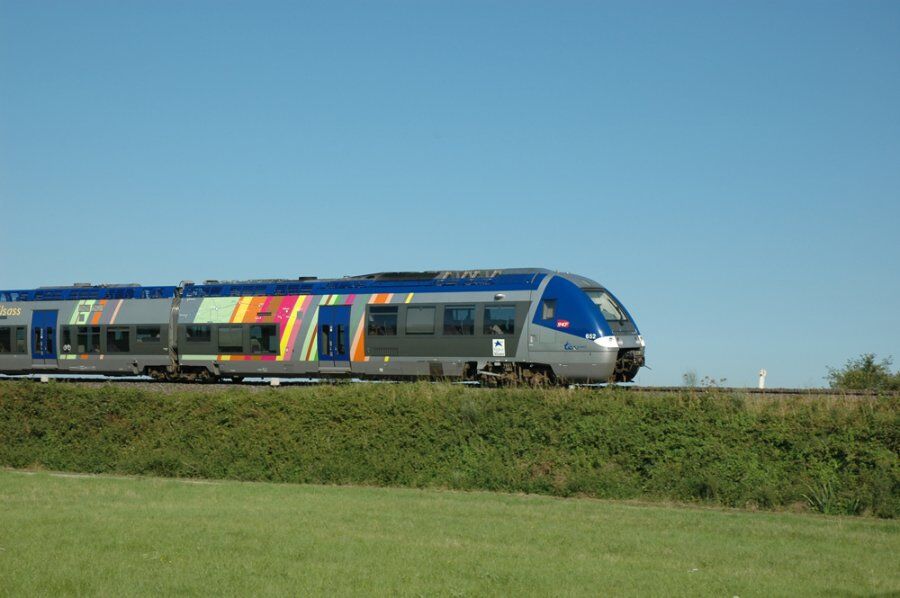
TER Fluo station
www.fluo.eu
free parking on site
S2
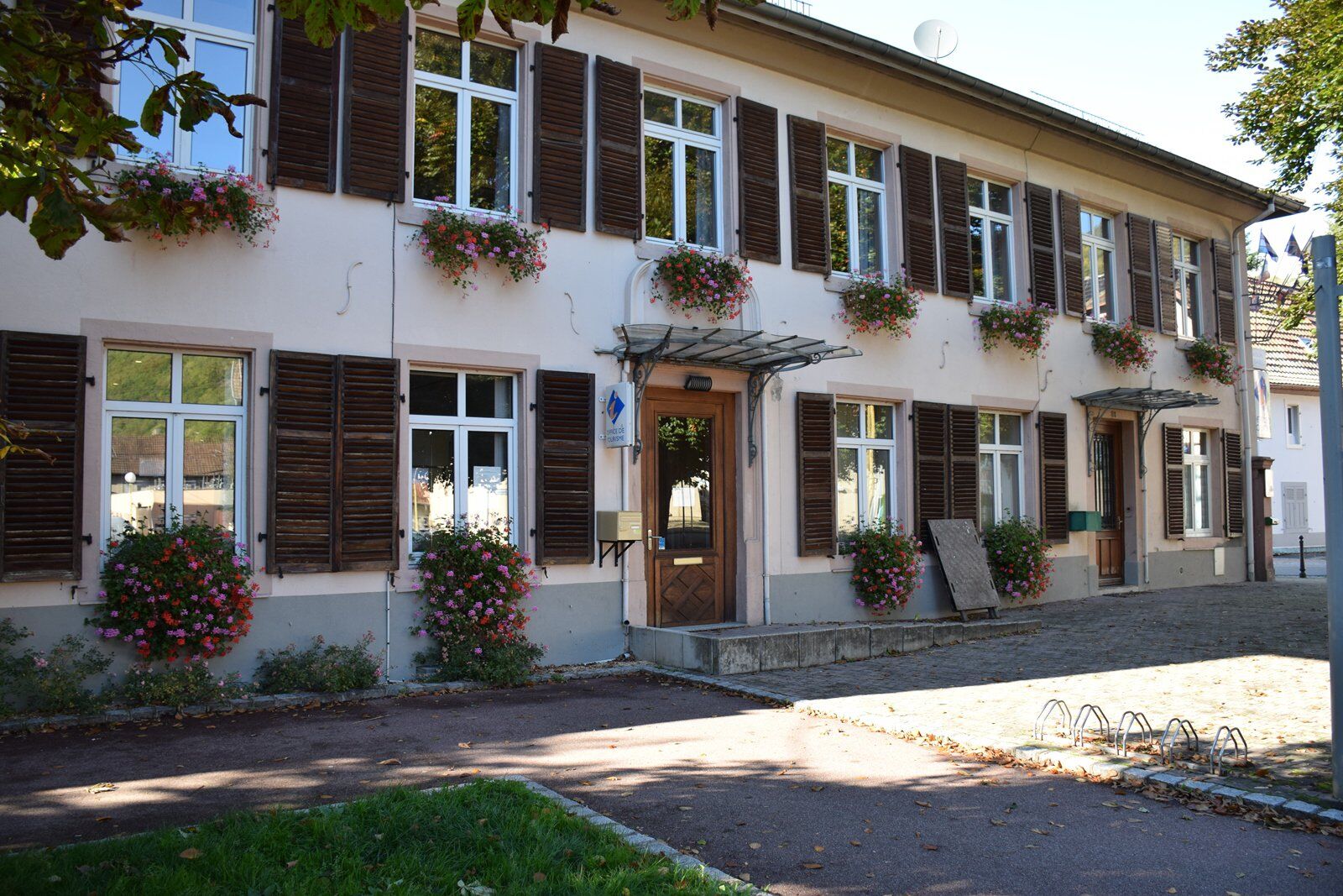
Tourist Office of the Saint-Amarin Valley
81 RUE DU GENERAL DE GAULLE
68550 Vallée de Saint Amarin
Tel: 03 89 82 13 90
saint-amarin@hautes-vosges-alsace.fr
www.hautes-vosges-alsace.fr
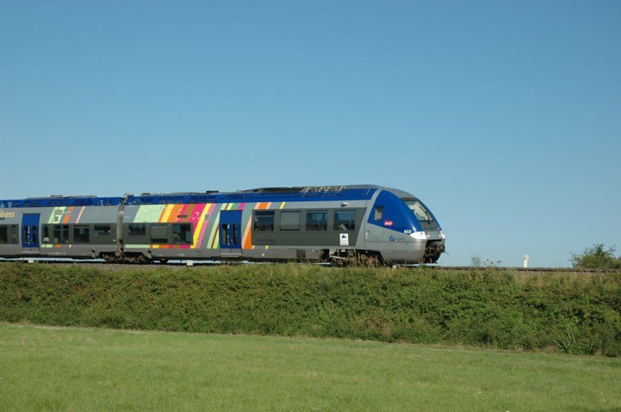
Accessible by train!
Pridobite vpogled
Vedno v živo na mestu z več kot 9.500 spletnimi kamerami. bergfex Kot uporabnik Pro si lahko zdaj ogledate ustrezne spletne kamere za številne izlete v aplikaciji izleti iz. Tako si lahko neposredno ogledate trenutne razmere.
Priljubljeni izleti v okolici
-
Grand Ballon route in 3 days
težkoPohodništvo v daljavo 54.2 km -
4.0
Boucle du Grand Ballon de Goldbach-Altenbach, France
srednjaPohodništvo 14.7 km -
5.0
Discovery trail circuit at the Ballon d'Alsace
srednjaPohodništvo 2.69 km -
5.0
Visit of the Hartmannswillerkopf battlefield
svetlobaPohodništvo 5.45 km -
Schafert Farmhouse Walk "Towards a 360 degree high view"
srednjaPohodništvo 5.49 km -
Felsach farm-inn walk "Towards a nature sanctuary"
srednjaPohodništvo 6.81 km -
The Thannerhubel at Bourbach-le-Haut
srednjaPohodništvo 7.32 km -
Crossing of the Vosges Massif - Stage 17 - Thann - Ballon d'Alsace
težkoPohodništvo v daljavo 27.8 km -
Haag Farm-Inn walk "Between the shade of the beech woods and the light of the high pastures"
srednjaPohodništvo 5.83 km -
Hilsen Farm Inn route - a panorama on the Grand Ballon
srednjaPohodništvo 5.47 km

Pohodništvo in sledenje


Ne zamudite ponudb in navdiha za naslednje počitnice
Vaš e-poštni naslov je bil dodan na poštni seznam.





