







4-day hiking loop in the Northern Vosges
Stopnja težavnosti: T2
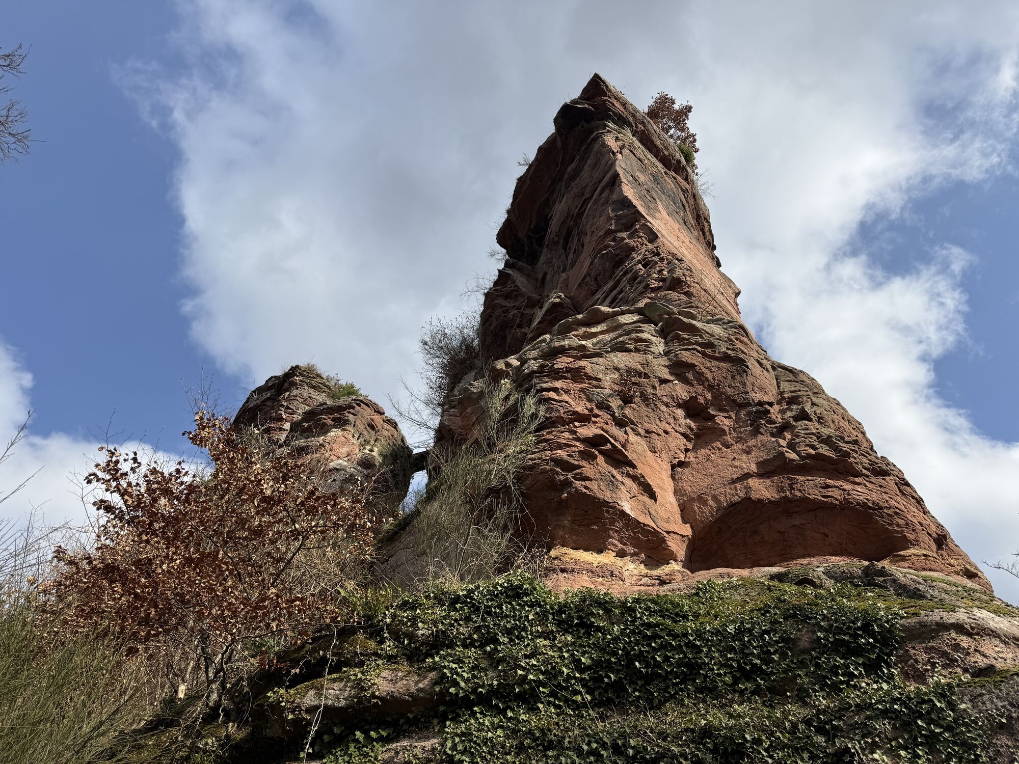
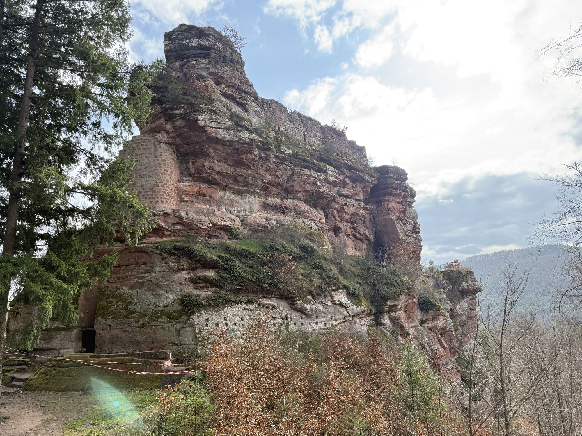

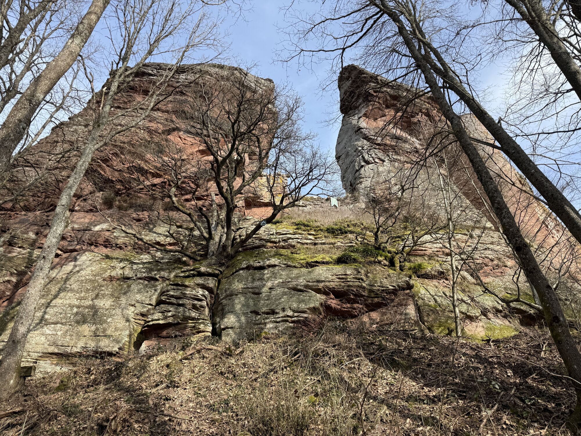
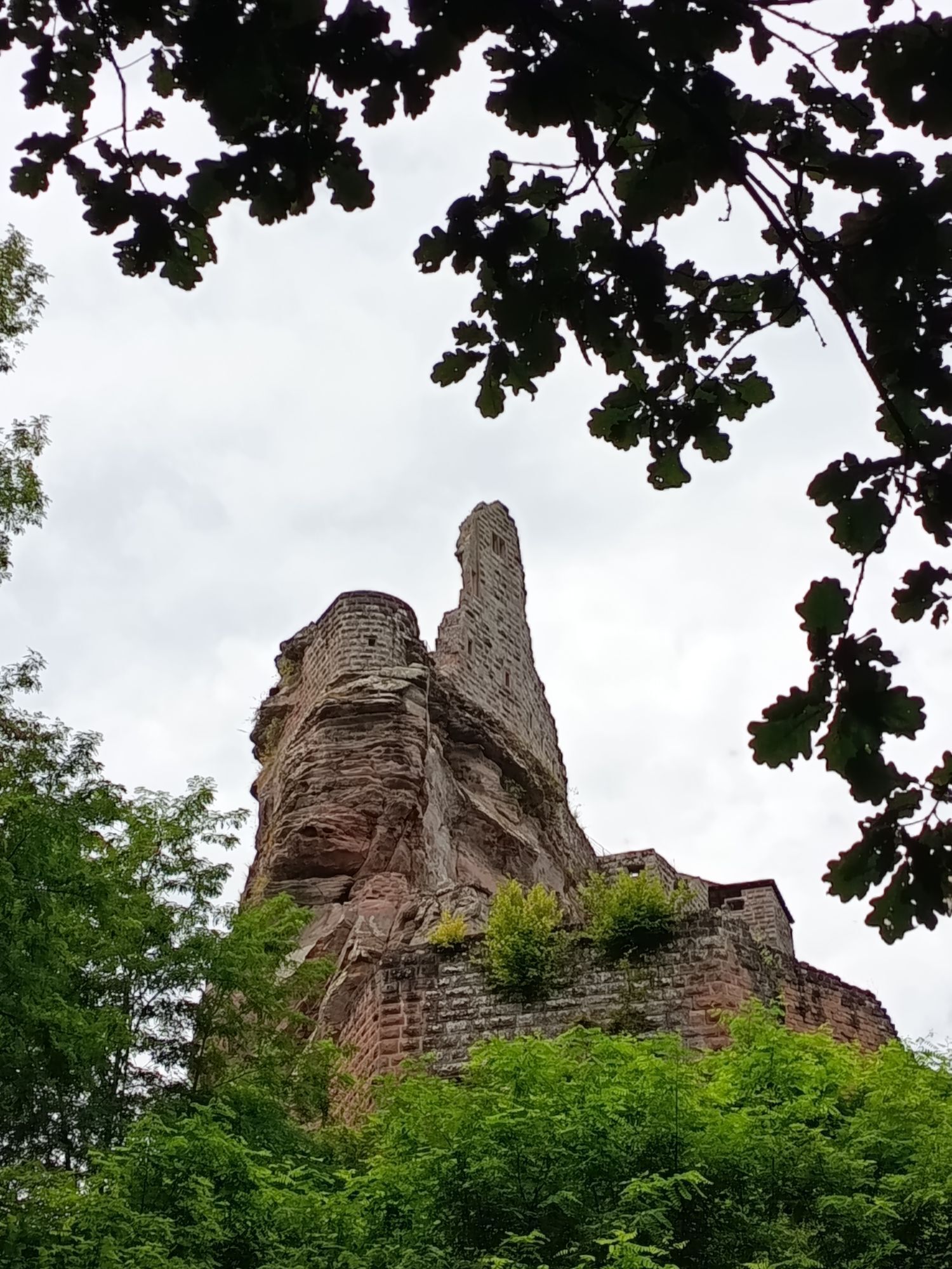
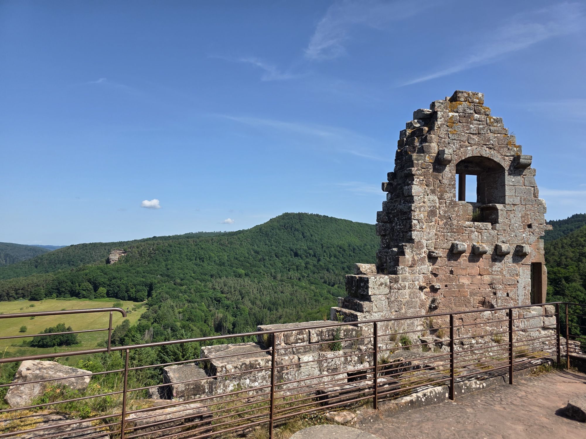
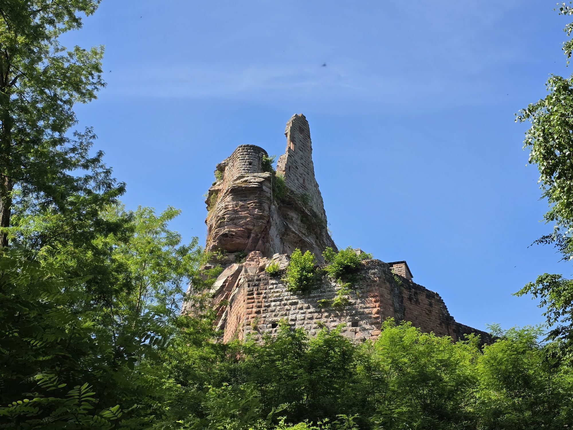
You'll discover an authentic, unspoilt Alsace, with half-timbered houses, pink sandstone castles, remnants of the Maginot Line and vineyards. Stage 1: Wissembourg - Gimbelhof (17 km) Depart from Wissembourg,...
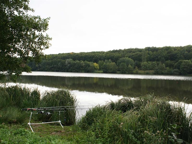
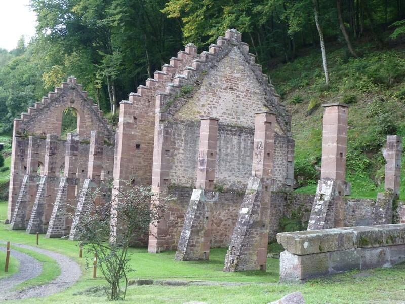
You'll discover an authentic, unspoilt Alsace, with half-timbered houses, pink sandstone castles, remnants of the Maginot Line and vineyards. Stage 1: Wissembourg - Gimbelhof (17 km) Depart from Wissembourg, a fortified town listed as one of France's most beautiful detours, passing through the Col du Pigeonnier and the Heimbach spring before reaching the Gimbelhof. Take a detour to the ruins of Loewenstein and Hohenbourg for superb panoramic views. Stage 2: Gimbelhof - Niederbronn-les-Bains (21 km) Head for the Fleckenstein and Froensbourg castles! Descent into the Steinbach valley towards Jaegerthal, where Maginot Line works are visible here and there. In Jaegerthal are the remains of the 17th-century forges operated by the de Dietrich family. Stage 3: Niederbronn-les-Bains - Goersdorf (15km) From the spa town, drive to Froeschwiller, a typical Alsatian village, via the Reichshoffen lake, a nature reserve. Several monuments to the "Battle of Reichshoffen" can be seen along the way. You can visit the museum of the Battle of August 6, 1870, before returning to Goersdorf. Stage 4: Goersdorf - Wissembourg (21.5 km) This final stage takes in part the "Baristressel", an ancient Roman road said to have linked Niederbronn-les-Bains to Wissembourg. Passage through Marienbronn and Les Sept Fontaines. Short stopover at the Cleebourg wine cellar, before continuing on the "sentier arboricole" and then the route to Santiago de Compostela. Arrival in Wissembourg. The loop is complete!


https://apps.tourisme-alsace.info/photos/niederbronn/photos/219004916_d1.pdf
Hiking shoes suited to the terrain (even for children!)
Telescopic poles (useful for stability and joint relief)
Cell phone and spare battery if necessary
Find out about general and local weather conditions, making sure there's no precipitation.
Find out about the approach to the route, its height, how long it will take to reach the summit and any possible retreats (IGN map, GPS, topo-guide, etc.).
Evaluate possible risks by asking mountain professionals, mountain huts and gîtes.
Inform someone close to you of your objective, and contact them again if there are any changes: departure and return times, number of participants with telephone numbers for each, vehicle(s), parking, etc.
Avoid setting off alone, and use equipment that is suitable for the activity, adjusted and in good condition: headlamp, complete first-aid kit, survival blanket, etc.
In case of emergency, call 112
Wissembourg
www.fluo.eu
Free on-site parking
T2
Priljubljeni izleti v okolici
-
4.8
Wasigenstein und Zigeunerfelsen von Obersteinbach
Pohodništvo 10.6 km -
4.5
Northern Vosges - Circuit of the 4 castles
srednjaPohodništvo 6.49 km -
4.5
Ascent of the Grand Wintersberg
srednjaPohodništvo 13.0 km -
5.0
4 Burgen Tour Nothweiler
srednjaPohodništvo 9.52 km -
5.0
Crossing of the Vosges Massif - Stage 03 - Niederbronn-les-Bains - Lichtenberg
srednjaPohodništvo v daljavo 19.0 km -
Sentier d'excellence 1: Around Ramstein Castle
srednjaPohodništvo 7.28 km -
Hiking route to the castles of Windstein
težkoPohodništvo 20.6 km -
5.0
Cross-border cycling route "Friendship Route"
srednjaKolesarjenje 28.3 km -
Excellence trail 3: Around the castles of Waldeck and Falkenstein
srednjaPohodništvo 13.2 km -
Crossing of the Vosges Mountains - Stage 02 - Obersteinbach - Niederbronn-les-Bains
srednjaPohodništvo v daljavo 18.9 km
Pohodništvo in sledenje


Ne zamudite ponudb in navdiha za naslednje počitnice
Vaš e-poštni naslov je bil dodan na poštni seznam.





