






Les Trésors cachés des Vosges du Nord - Microadventure on the Vosges Massif Crossing

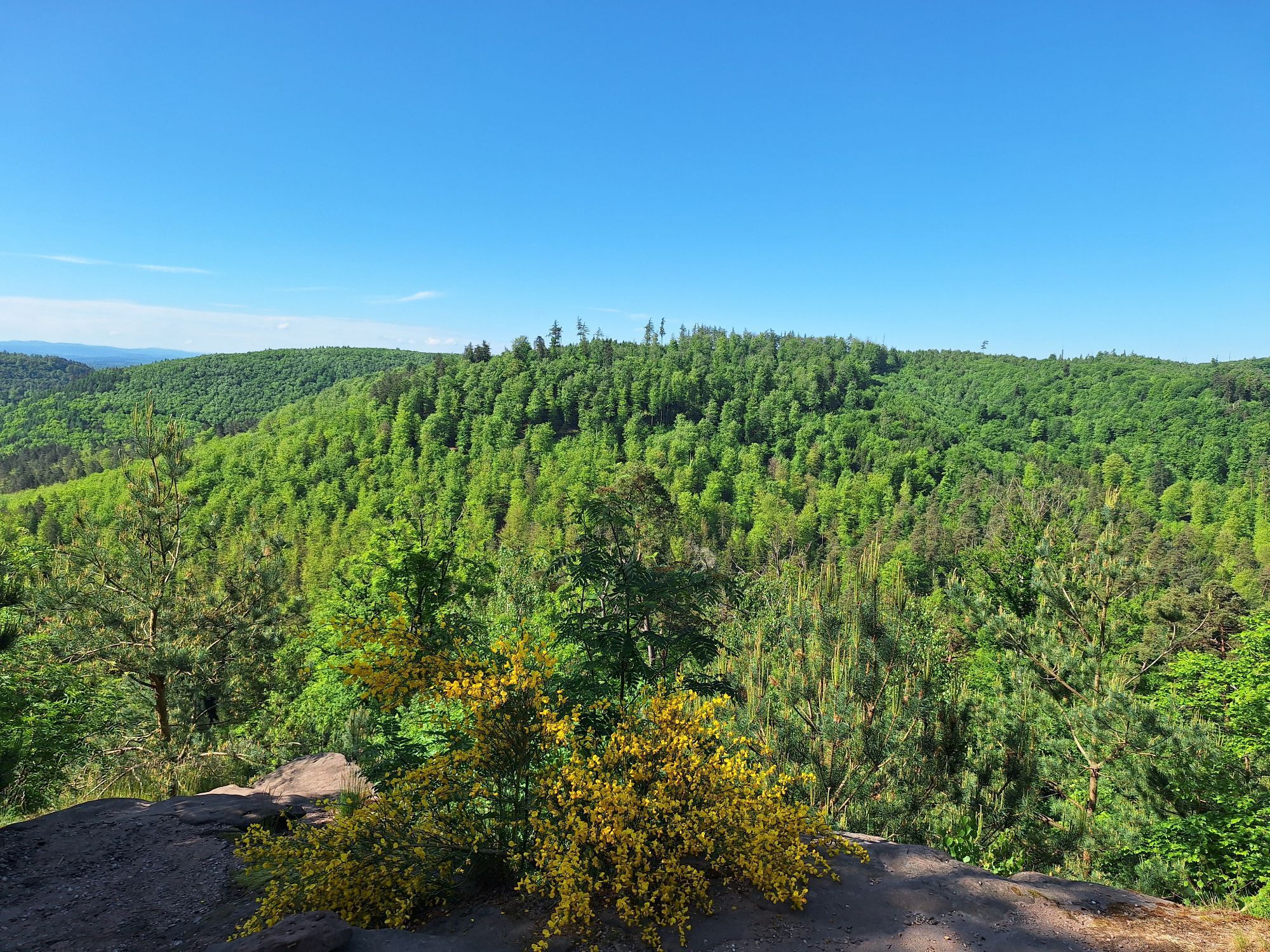
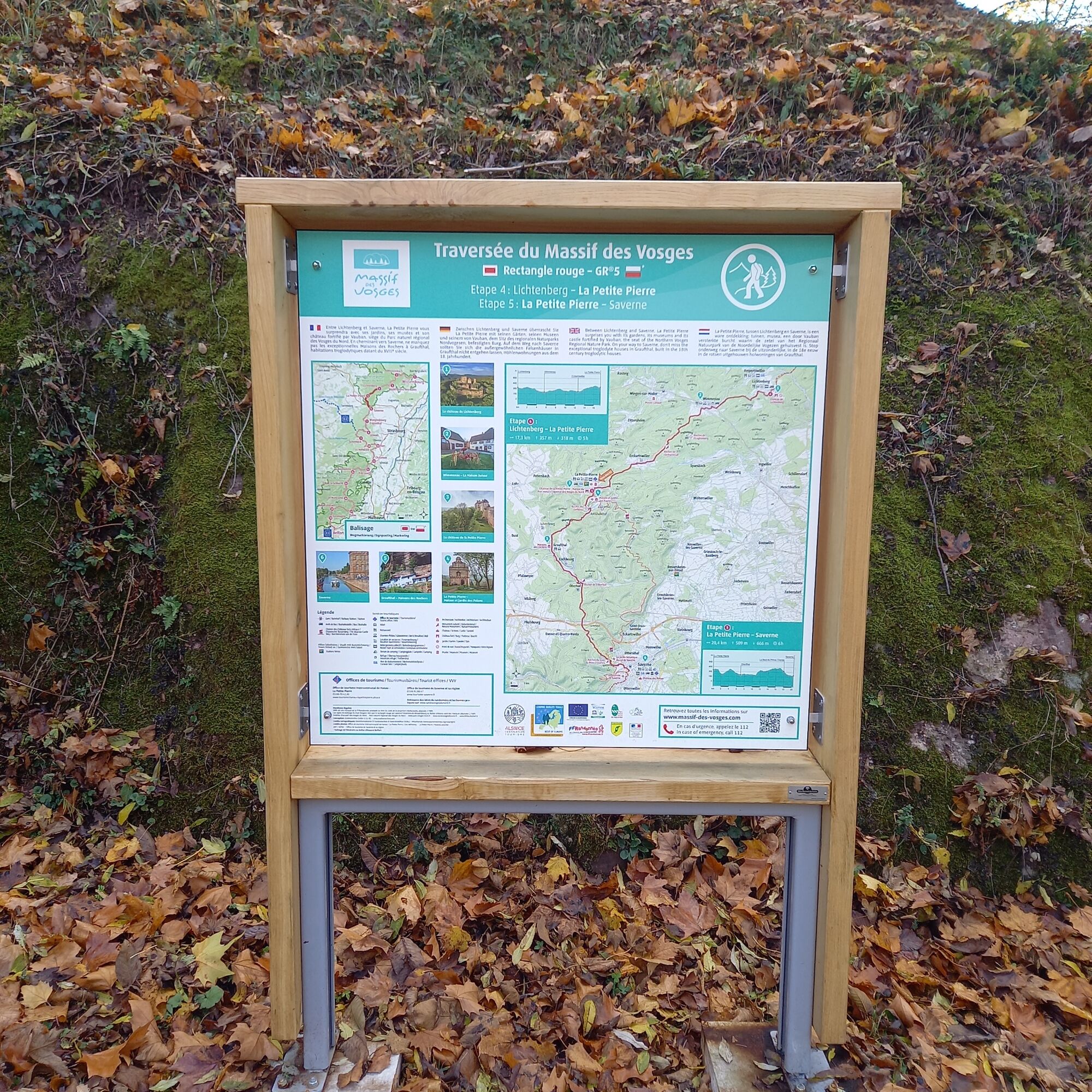
And climb up the cliff to visit the rock houses of Graufthal before descending the pass to rest in the beautiful town of Niederbronn-les-Bains. This micro-adventure links Saverne to Niederbronn-les-Bains.

-
Hiking shoes suited to the terrain (even for children!)
Hiking poles (useful for stability and to relieve joint strain)
Cell phone and spare battery
Find out about general and local weather conditions, making sure there's no precipitation.
Find out about the approach to the route, its height, how long it will take, and any possible escapes (IGN map, GPS, topo-guide, etc.).
Evaluate possible risks by asking mountain professionals, refuges and gîtes.
Inform someone close to you of your objective, and contact them again in the event of any changes: departure and return times, number of participants with telephone numbers for each, vehicle(s), parking, etc.
Avoid setting off alone, and use equipment that is suitable for the activity, adjusted and in good condition: headlamp, complete first-aid kit, survival blanket, etc.
In the event of a problem
Alert: call 112 (European emergency number)
5 key points to transmit your alert:
Where? commune, location, itinerary, altitude
Who? identity, telephone number
What? type of accident, number of victims, severity, fall kinetics
When? time of accident
Weather ? wind, visibility
Saverne (67)
www.fluo.eu
Free parking at Saverne station
Pays de Bitche Intercommunal Tourist Office www.tourisme-paysdebitche.fr
Hanau - La Petite Pierre Intercommunal Tourist Office www.tourisme.hanau-lapetitepierre.alsace
Office de Tourisme et du Commerce du Pays de Saverne www.tourisme-saverne.fr
Priljubljeni izleti v okolici
-
5.0
Crossing of the Vosges Massif - Stage 03 - Niederbronn-les-Bains - Lichtenberg
srednjaPohodništvo v daljavo 19.0 km -
Sentier d'excellence 1: Around Ramstein Castle
srednjaPohodništvo 7.28 km -
Imsthal to Loosthal trail
srednjaPohodništvo 12.0 km -
Path of the three rocks
srednjaPohodništvo 10.6 km -
Crossing of the Vosges Massif - Stage 05 - La Petite Pierre - Saverne
srednjaPohodništvo v daljavo 21.1 km -
Crossing of the Vosges Massif - Stage 04 - Lichtenberg - La Petite Pierre
srednjaPohodništvo v daljavo 16.9 km -
In the footsteps of the glassmakers - Lalique and Meisenthal
težkoPohodništvo 18.0 km -
Sentier d'excellence 13: In the land of glass and clogs
srednjaPohodništvo 8.60 km -
Castles through the ages
težkoPohodništvo v daljavo 67.1 km -
3.0
Imsthal Loop
svetlobaMountainbike 6.05 km
Pohodništvo in sledenje


Ne zamudite ponudb in navdiha za naslednje počitnice
Vaš e-poštni naslov je bil dodan na poštni seznam.





