






Etappe 31: Alpina Antica Trail | ET31: Spilimbergo - Valvasone

Stopnja težavnosti: T1
On the traces of the Tagliamento, one of the last unspoilt rivers in Europe
At the beginning and end of this stage are historic old towns with marvellous buildings that tell of glorious times. In between,...
At the beginning and end of this stage are historic old towns with marvellous buildings that tell of glorious times. In between, however, this stage is characterised by the river that has accompanied you for quite some time on your hike along the Alpina Antica Trail: the Tagliamento (even longer via its tributary river But). You hike through vineyards in the fertile alluvial plain, in the floodplain itself with its adapted vegetation. But also directly along the huge, mostly dry and gravelly riverbed, which looks like a lunar landscape.

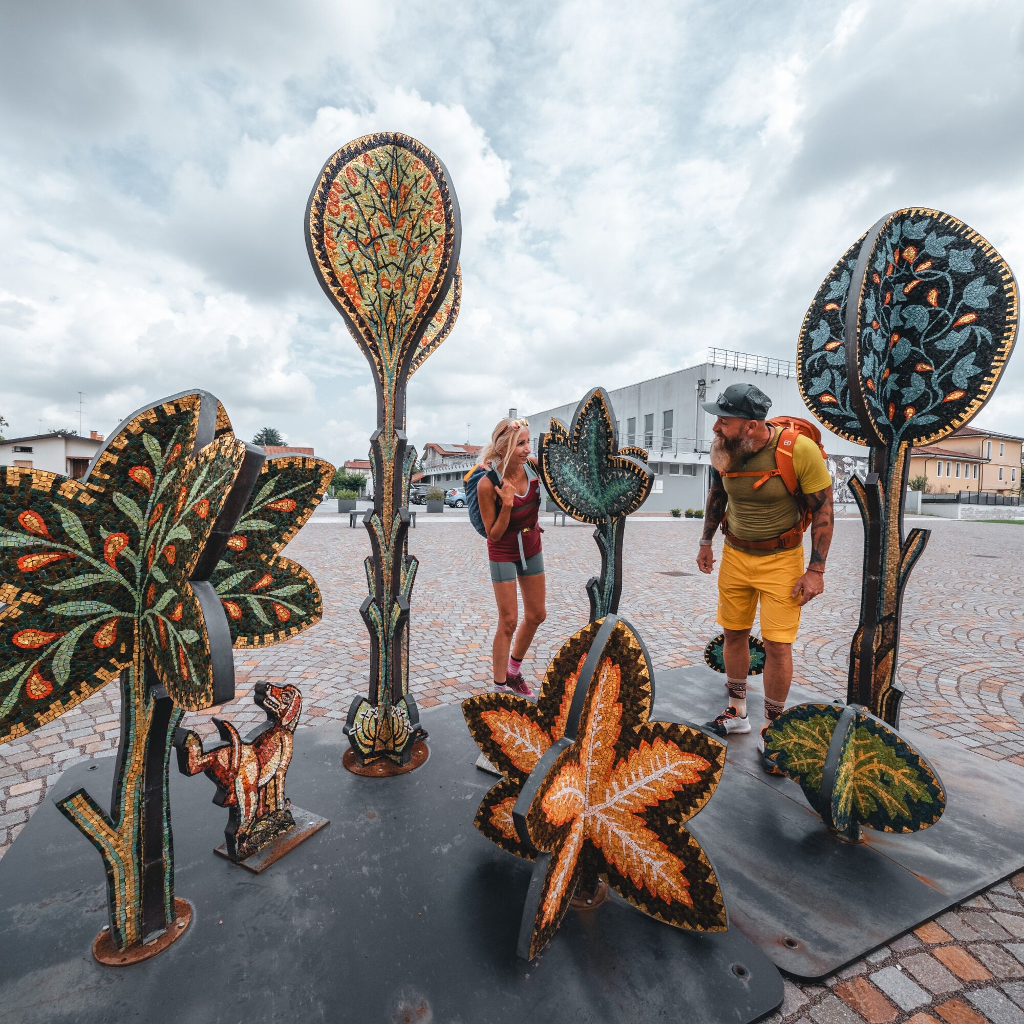

The small road soon becomes a gravel road, which soon meets a dry riverbed through meadows. Turn right through the dry riverbed, briefly up the gravel road on the other side and you will come to a small tarmac road. After 1 km, this leads more or less straight on to a larger road (Via Europa Unita) on the outskirts of the hamlet of Cosa.
Continue straight on through the hamlet to Piazza San Tommaso. In the bend to the right before the Pizzeria Lo Spicchio, turn left onto Via S. Odorico. Follow the road in a slight bend to the right for about 230 metres. Smaller roads turn off to the left here. Follow the small road on the left (but then straight ahead) - the road here is still called Via S. Odorico, while the larger road leading straight ahead is now called Via Grave. Follow the road straight ahead past vineyards, cross a junction after 700 metres and follow the gravel path straight ahead for another 360 metres. You are now very close to the huge riverbed of the Tagliamento, which is dry for long stretches, and you follow the rough gravel path that branches off to the right here for 1 km parallel to the Tagliamento to the south until you reach another fork. The landscape in this area is strongly characterised by the Tagliamento: the riverbed itself dominates the landscape and a wider strip through which you walk is in the floodplain of the river. At the crossroads, take the gravel road that turns slightly left (not the road that branches off sharply to the left, which ends after 250 metres in the Tagliamento riverbed) and continue walking southwards parallel to the Tagliamento. Ignore the trails that branch off diagonally to the left twice, which again end in the Tagliamento riverbed, and then the gravel paths that branch off to the right and lead away from the Tagliamento until the gravel path ends after 1.6 km at another gravel road. Follow this dirt road to the left until it ends in the Tagliamento riverbed after 330 metres. Shortly before this, a rough, wide gravel path branches off to the right: it leads for 1.9 km through the overgrown but gravelly floodplain parallel to the river until it ends in a west-east leading gravel road (there are many gravel paths here: the eastern boundary is the river bed and the western boundary is the agricultural land).
To the right (eastwards), the gravel road leads out of the floodplain and after 500 metres makes a short right-left turn. Continuing eastwards, the road (now called Via Saletto Tagliamento) passes an artificial pond on the right and ends after a total of 2.4 km at Strada Provinciale 1 in the village of San Martino al Tagliamento. Cross the road and follow the road straight ahead (Via Maggiore, later Via Postoncicco) for 900 metres to the village square by the church of San Martino al Tagliamento.
At the eastern end of the central square in San Martino al Tagliamento, turn left, leave the Town Hall behind and walk all the way down the tree-lined avenue of Viale Rimembranza. Go straight ahead until you meet the Arzenutto pharmacy on the left and the intersection with Provincial Road No. 37. You follow it for about 200 meters to the left and then turn, at the first street on the right, onto Via San Giacomo. After about 100 meters keep to the right and take the dirt road on the left. This dirt road runs parallel to the Provincial Road and at its intersection with a ditch you keep left to return to the Provincial Road. You turn left and go back about 30 meters to the height of a store not in function anymore on the right. You take the street that passes through the middle of the houses for 30 m and turn right on the other side of a hedge to reach a path through the meadows. Your cross the fields along a headland and turn right onto Via delle Pozze. Continue on this gravel-bottomed street, straight ahead on Crosera Street and at the end of the street turn right into Regina Margherita Street. Following this street you will arrive, after about 50 meters, at the intersection of largo Piave where going straight on you will arrive in the center of Valvasone, in piazza Castello – your stage destination.
T1
Valvasone: Der Stempel befindet sich im Ufficio turistico Valvasone (45°59'45.5"N 12°51'53.7"E).
Priljubljeni izleti v okolici
-
FVG6 Kolesarska pot ob reki Tagliamento (C600)
srednjaKolesarjenje na dolge razdalje 136.9 km -
Spilimbergo - San Vito al Tagliamento (C602)
svetlobaKolesarjenje na dolge razdalje 31.9 km -
Maniago - Gemona del Friuli (C302)
srednjaKolesarjenje na dolge razdalje 53.6 km -
Obroč gradov (R018)
srednjaKolesarjenje na dolge razdalje 25.8 km -
Pasolinski prstan (R021)
svetlobaKolesarjenje na dolge razdalje 9.11 km -
FVG7 Furlanska kolesarska pot (C700)
srednjaKolesarjenje na dolge razdalje 89.7 km -
San Daniele del Friuli - Codroipo (C6V2)
srednjaKolesarjenje na dolge razdalje 34.5 km -
Prstan Magredi (R004)
srednjaKolesarjenje na dolge razdalje 42.8 km -
Cold War itinerary on Colle Pion
svetlobaPohodništvo 1.29 km -
Route of the Pinzano Bridge and the Artillery Battery of Colàt Hill
svetlobaTematska pot 7.60 km
Pohodništvo in sledenje


Ne zamudite ponudb in navdiha za naslednje počitnice
Vaš e-poštni naslov je bil dodan na poštni seznam.





