







Carnic Traverse - Stage 11 of 11

Stopnja težavnosti: T2
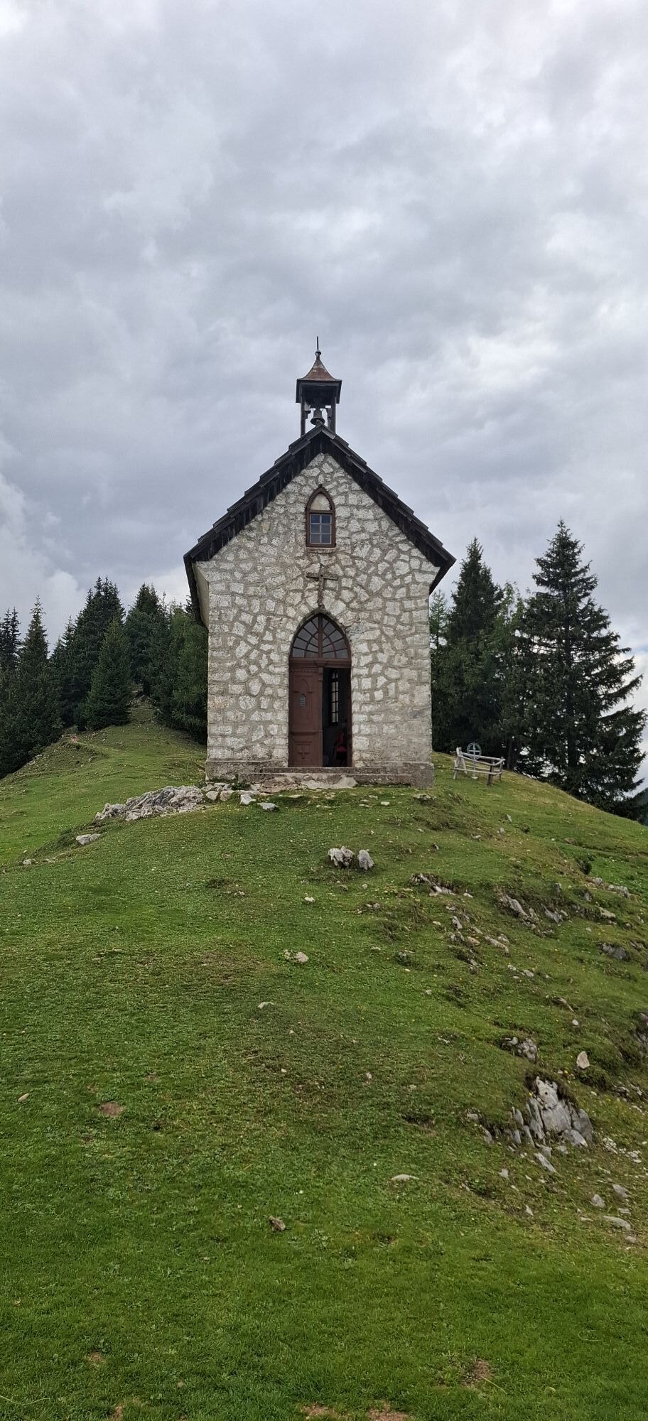
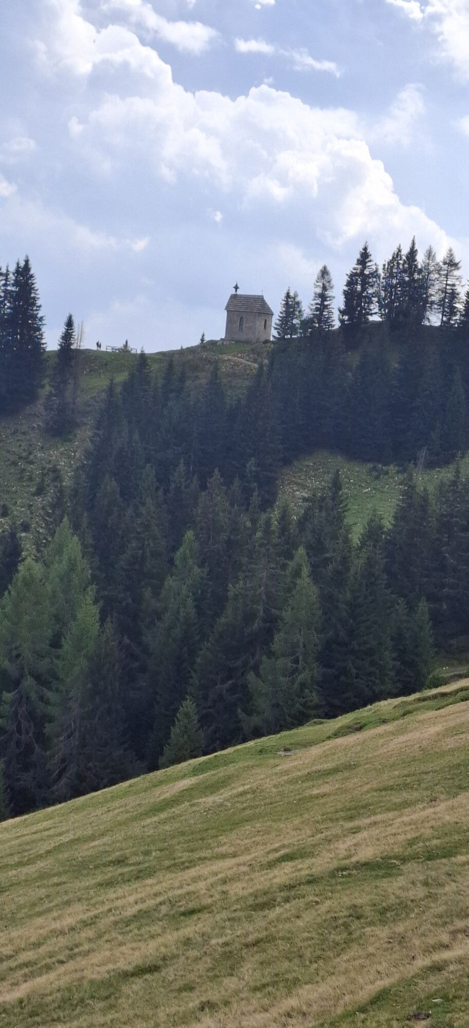
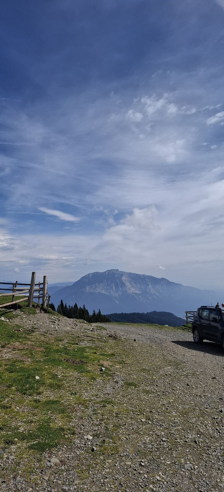
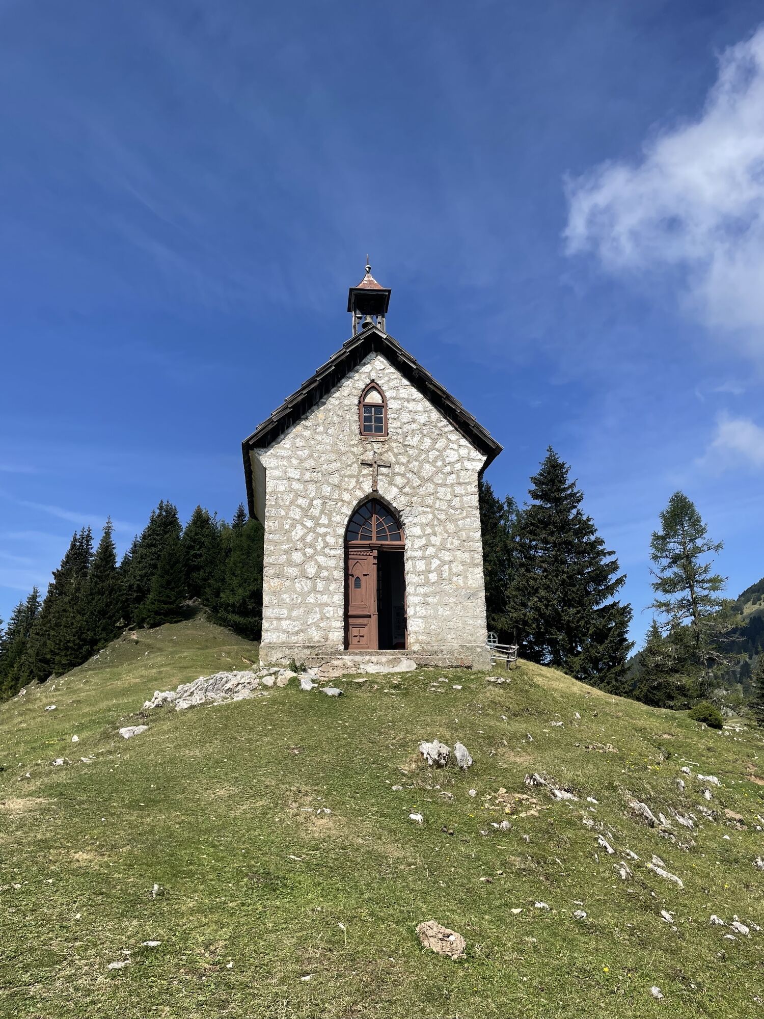
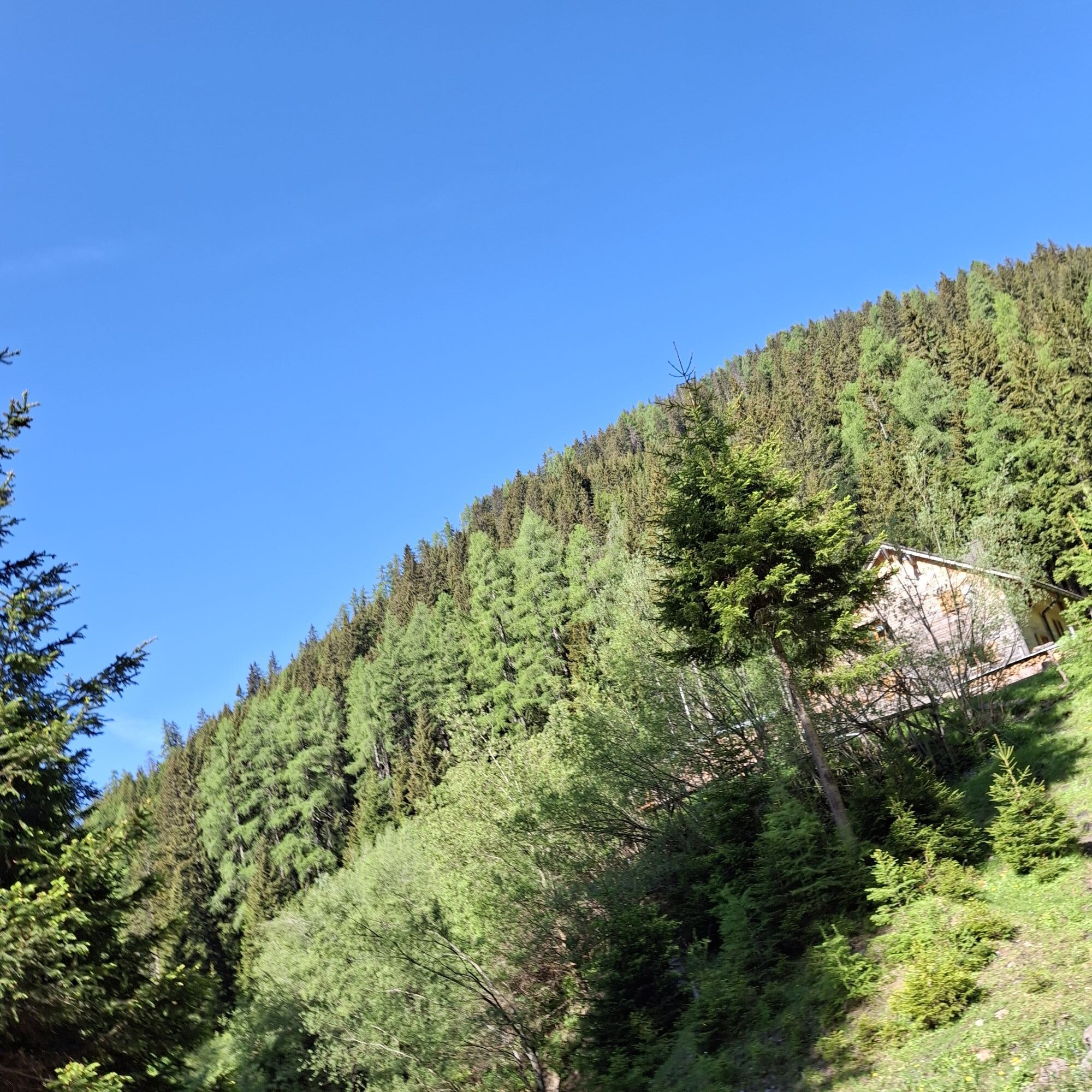
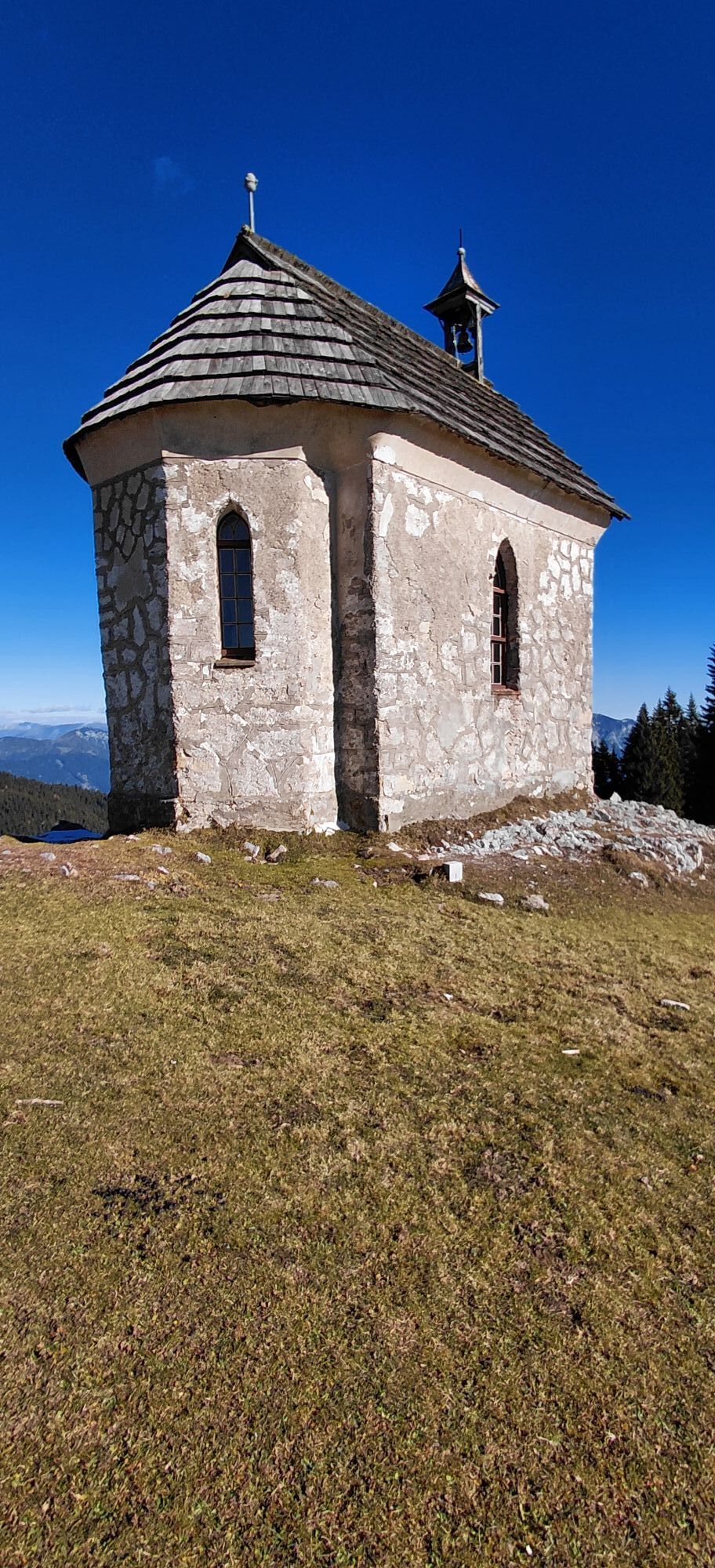
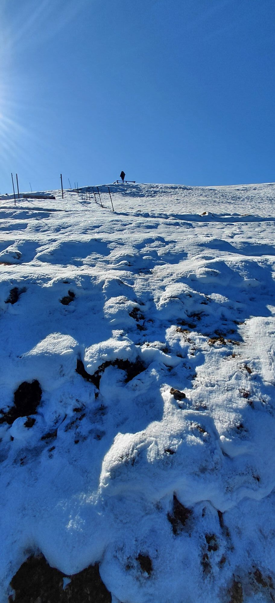
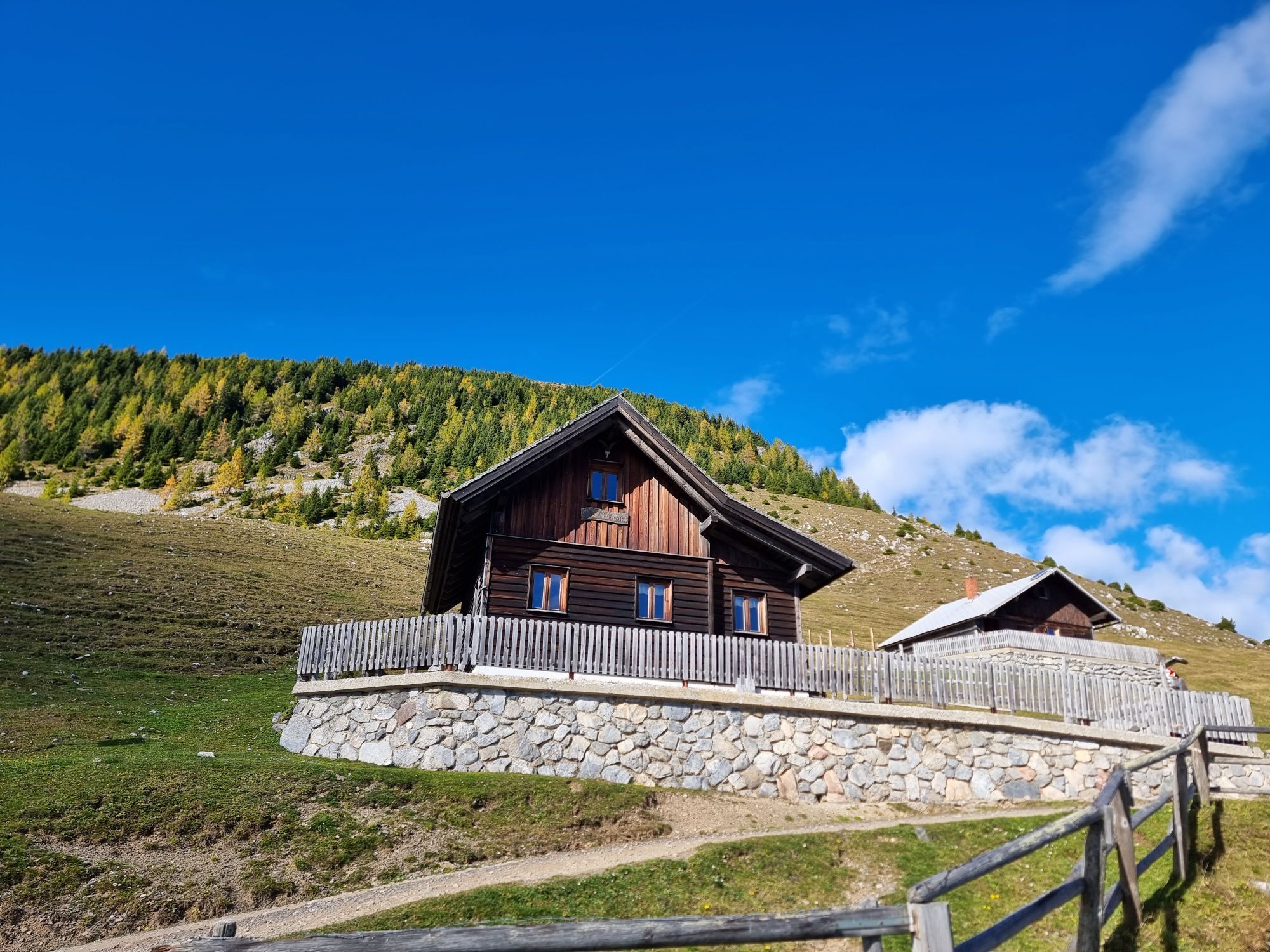
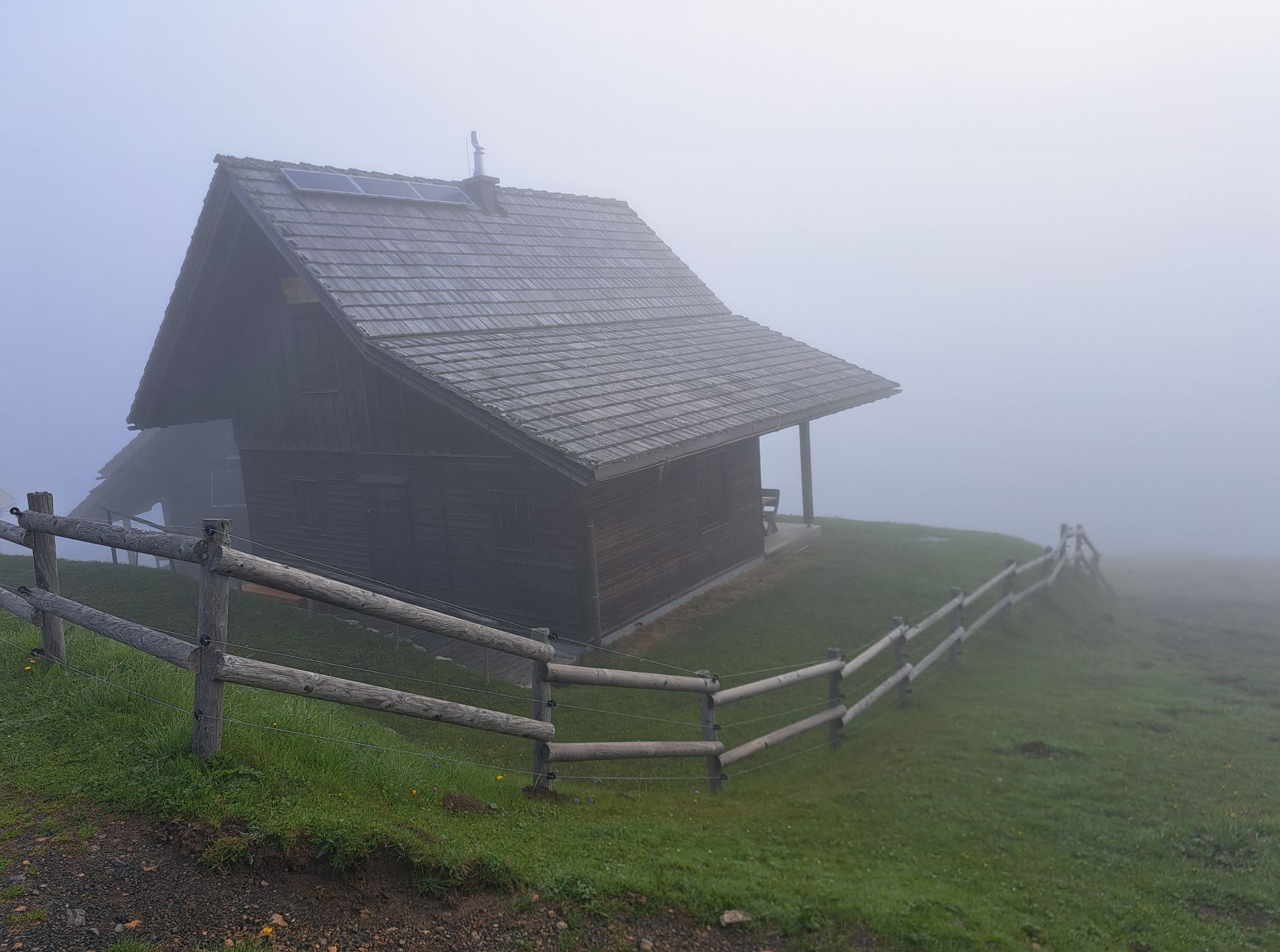
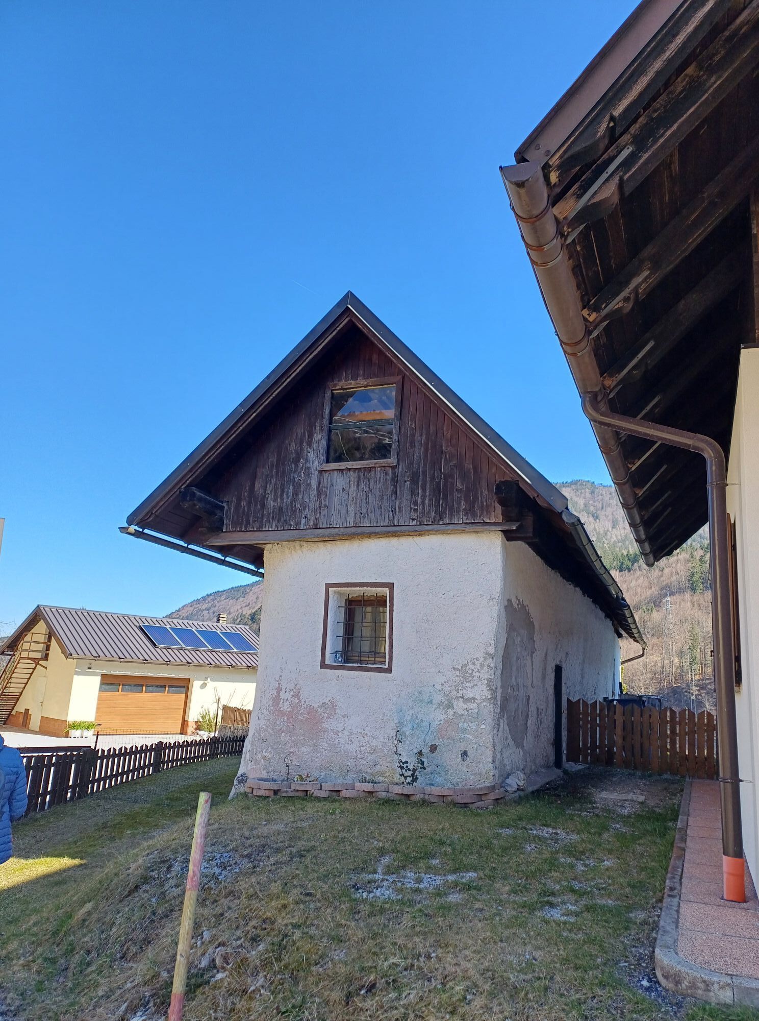
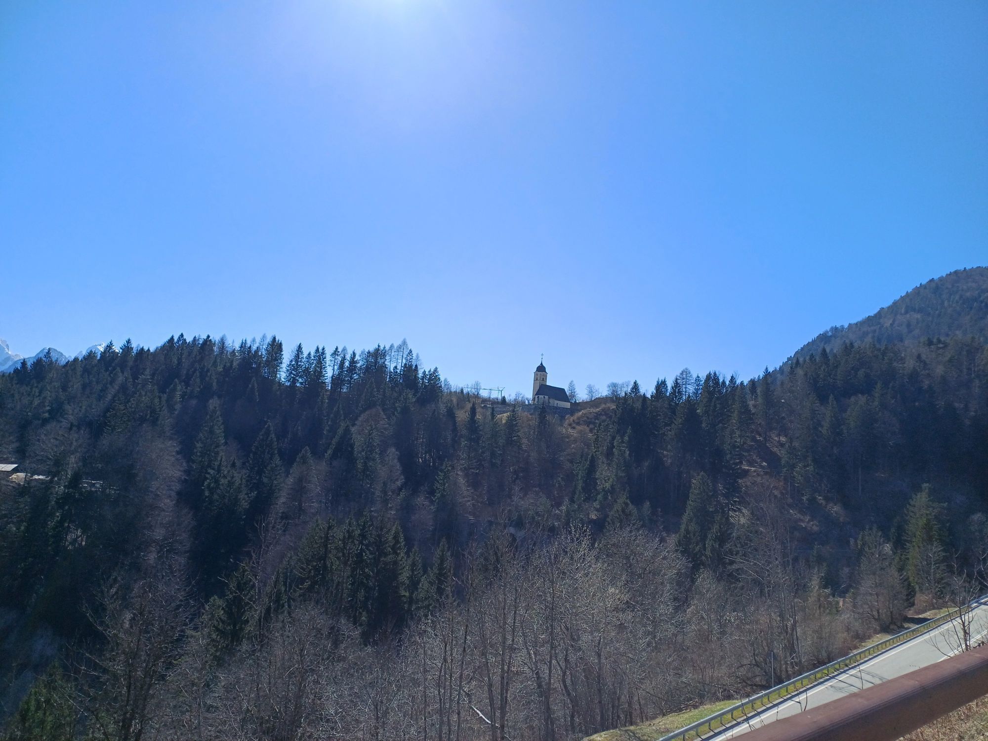
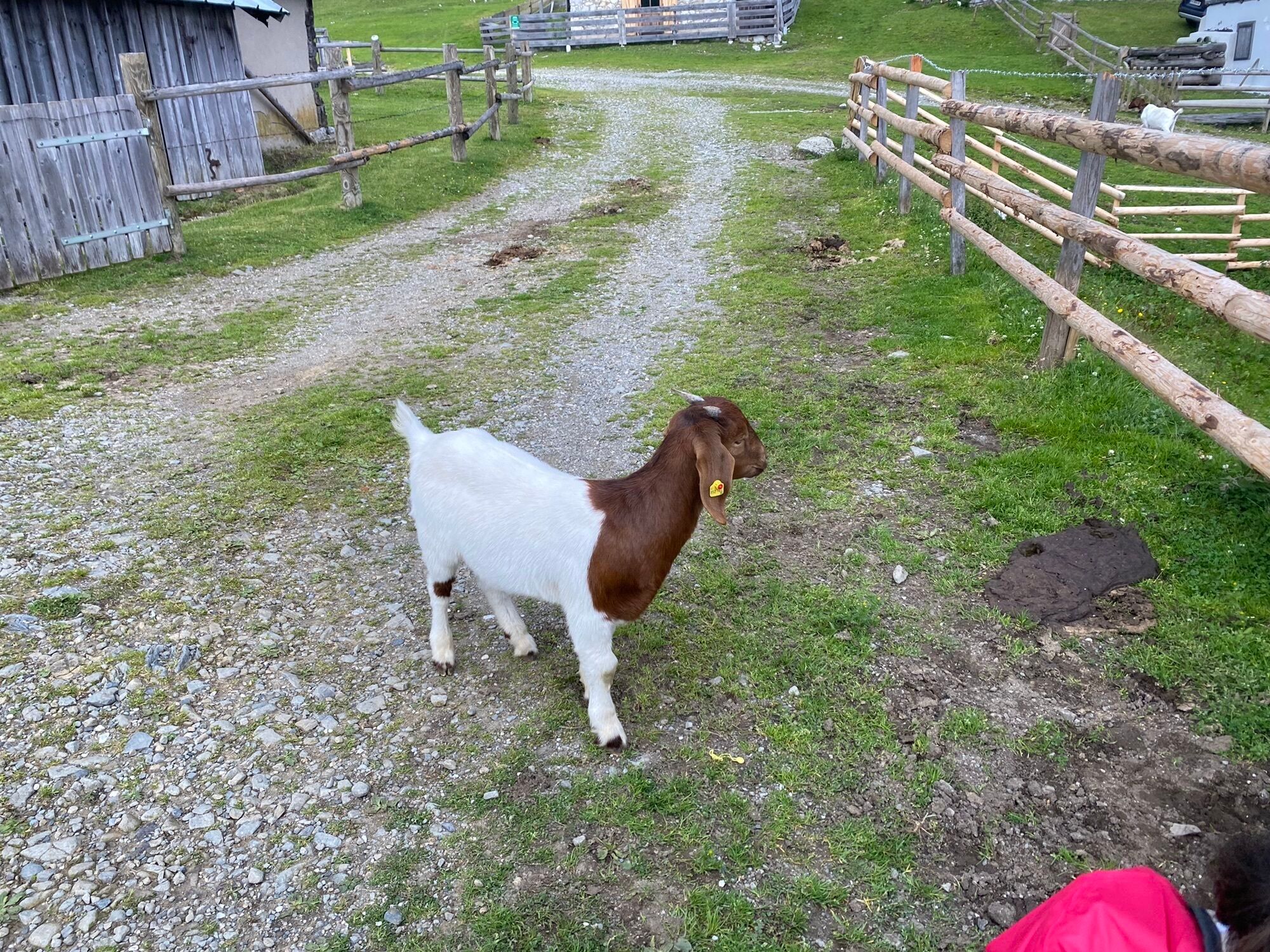
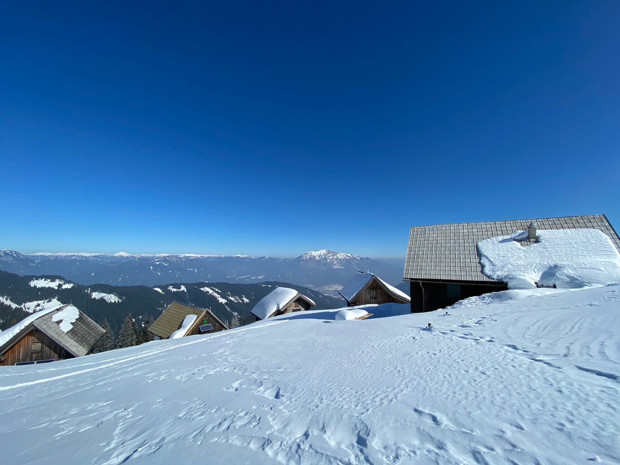
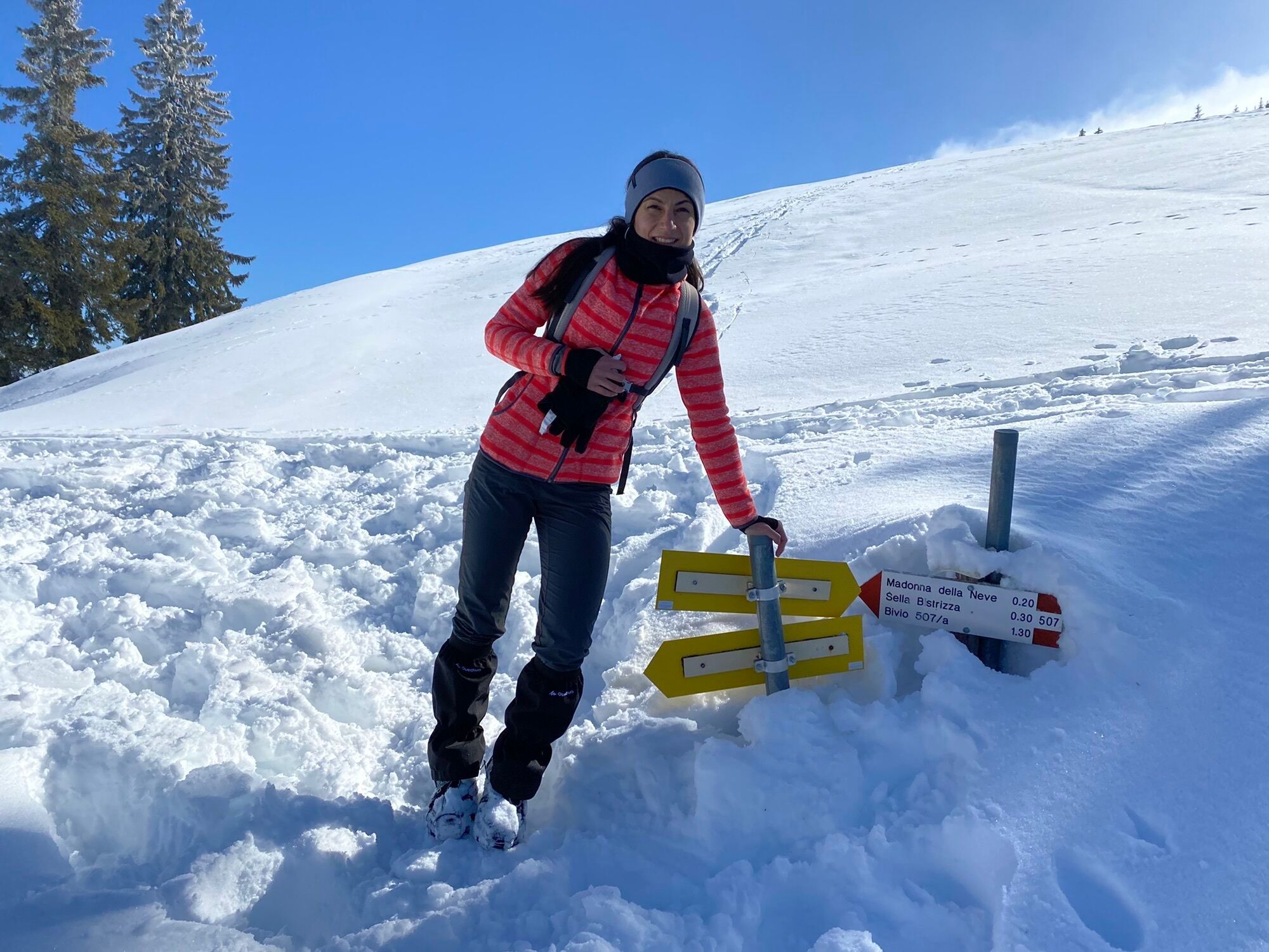
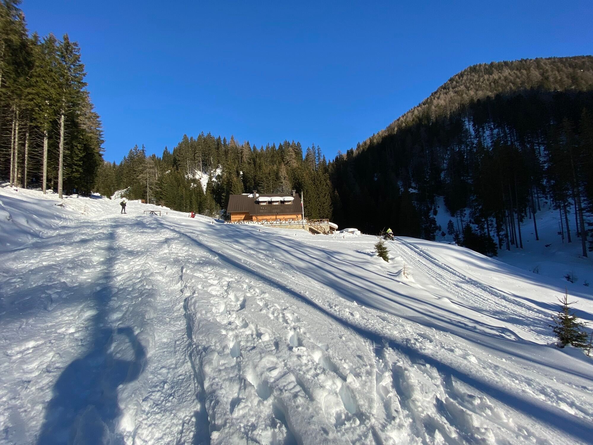
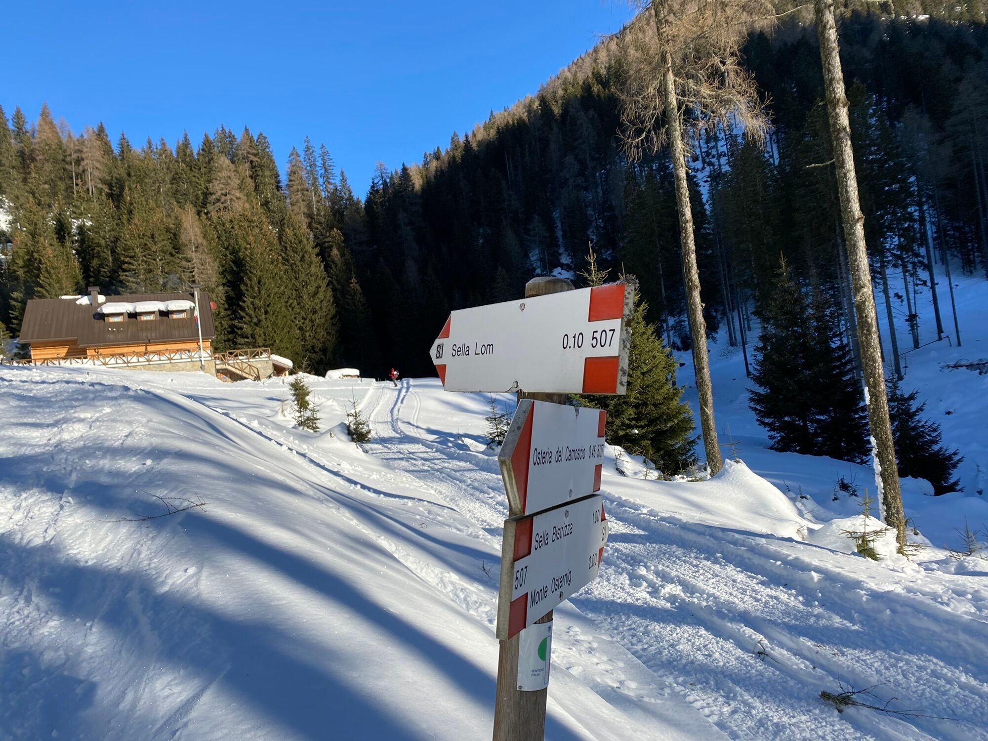
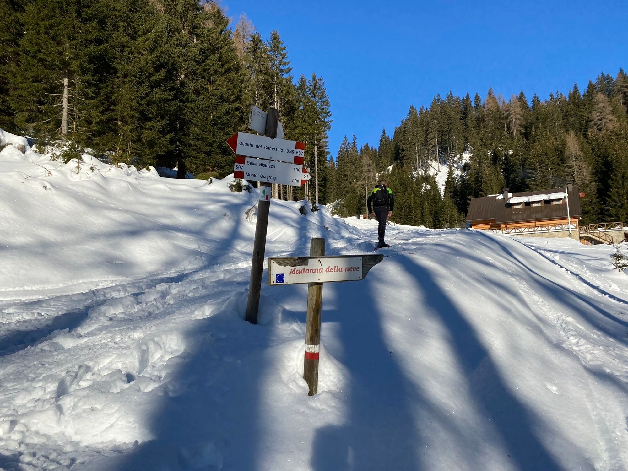
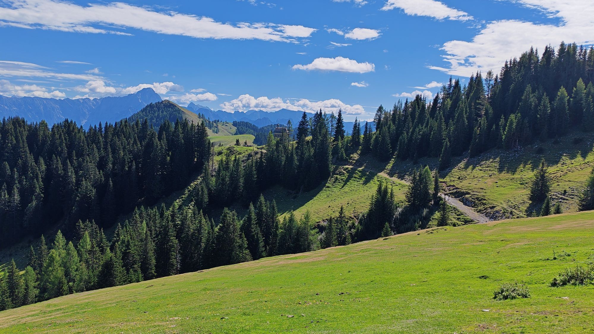
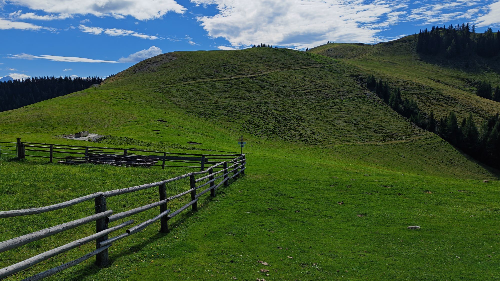
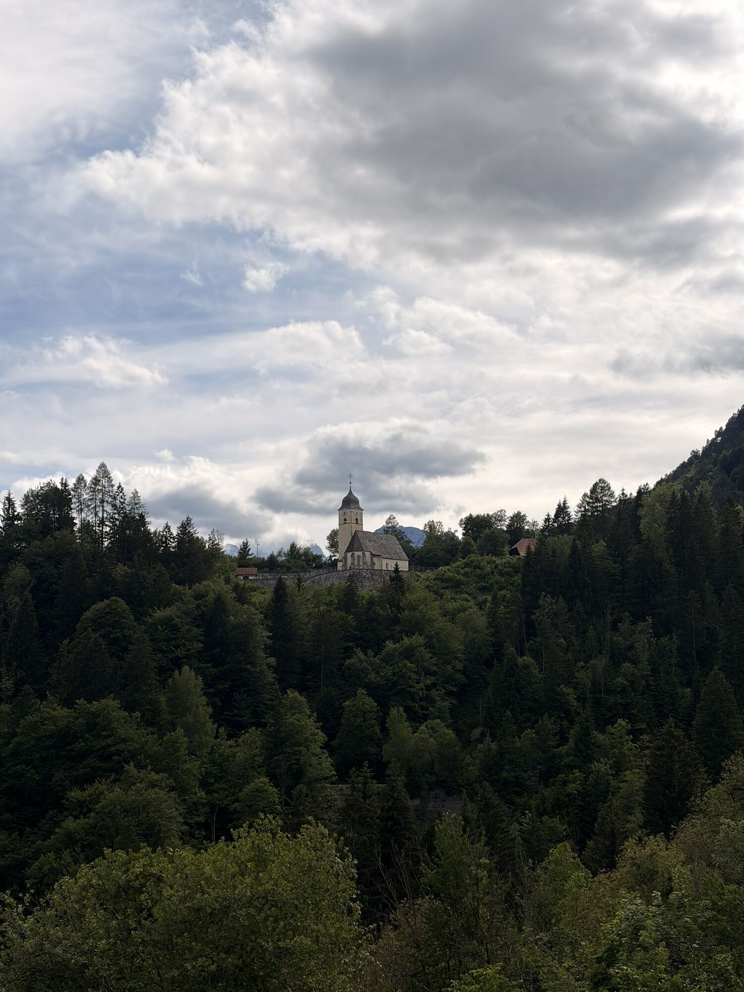
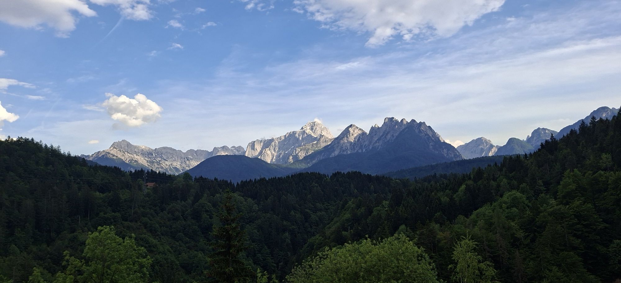
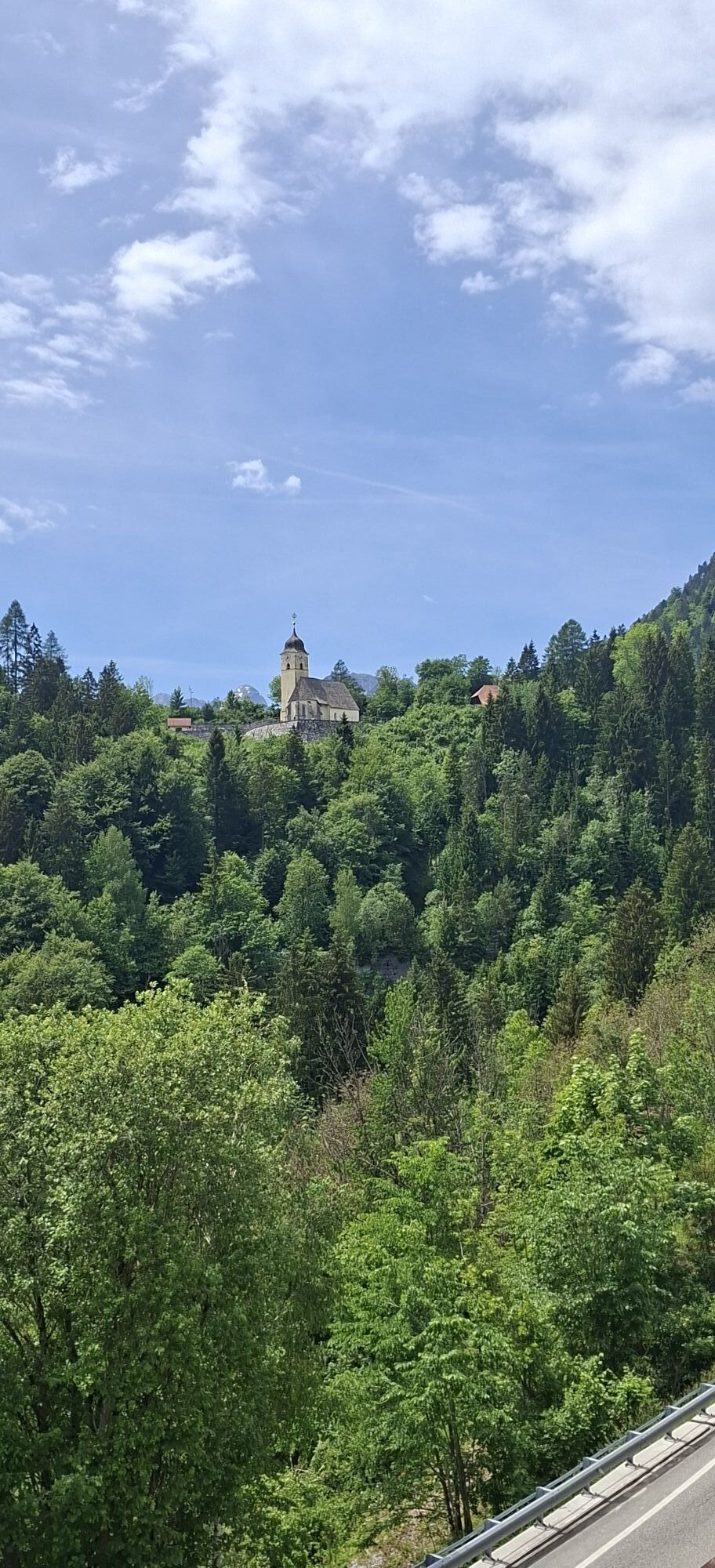
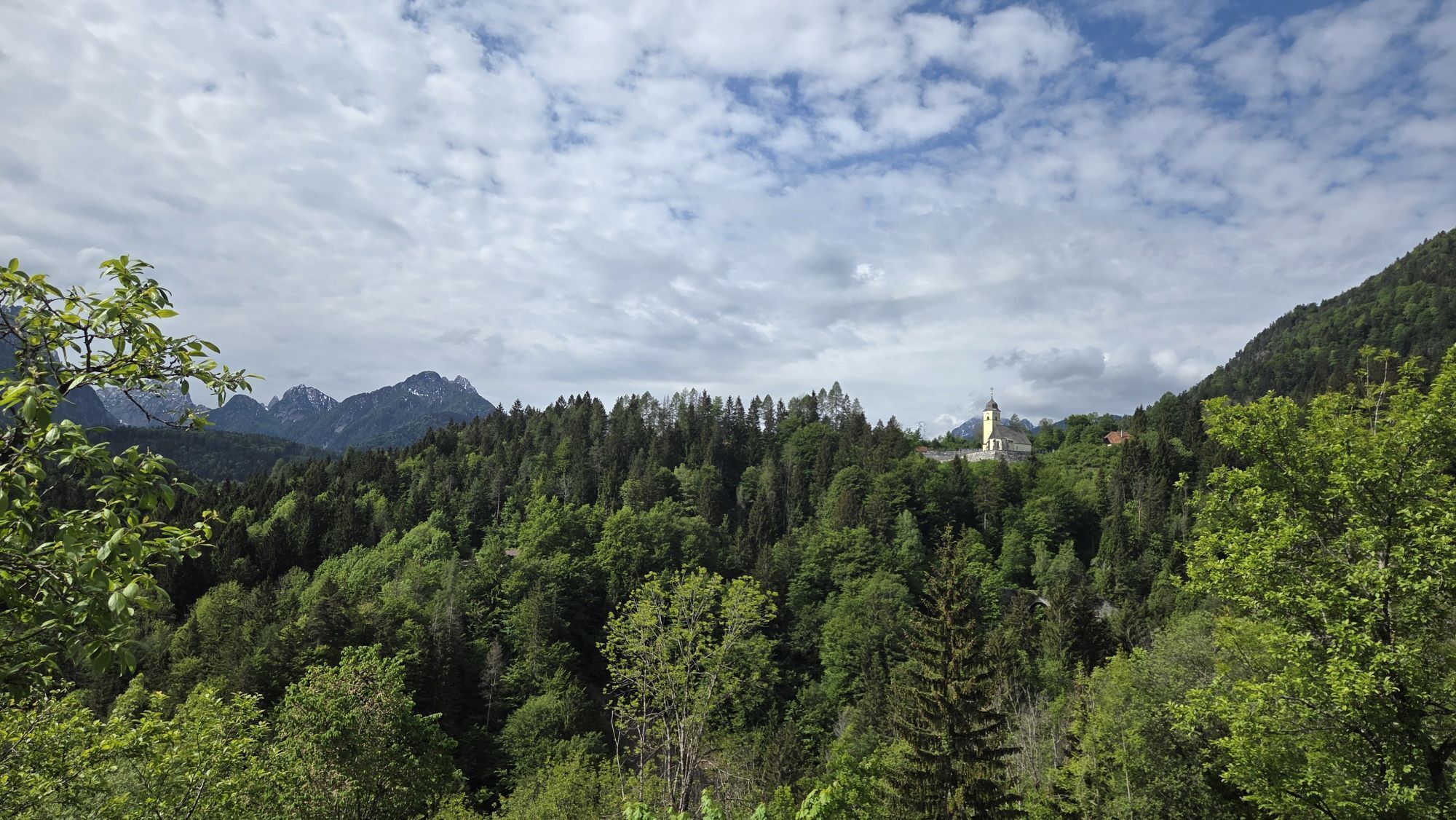
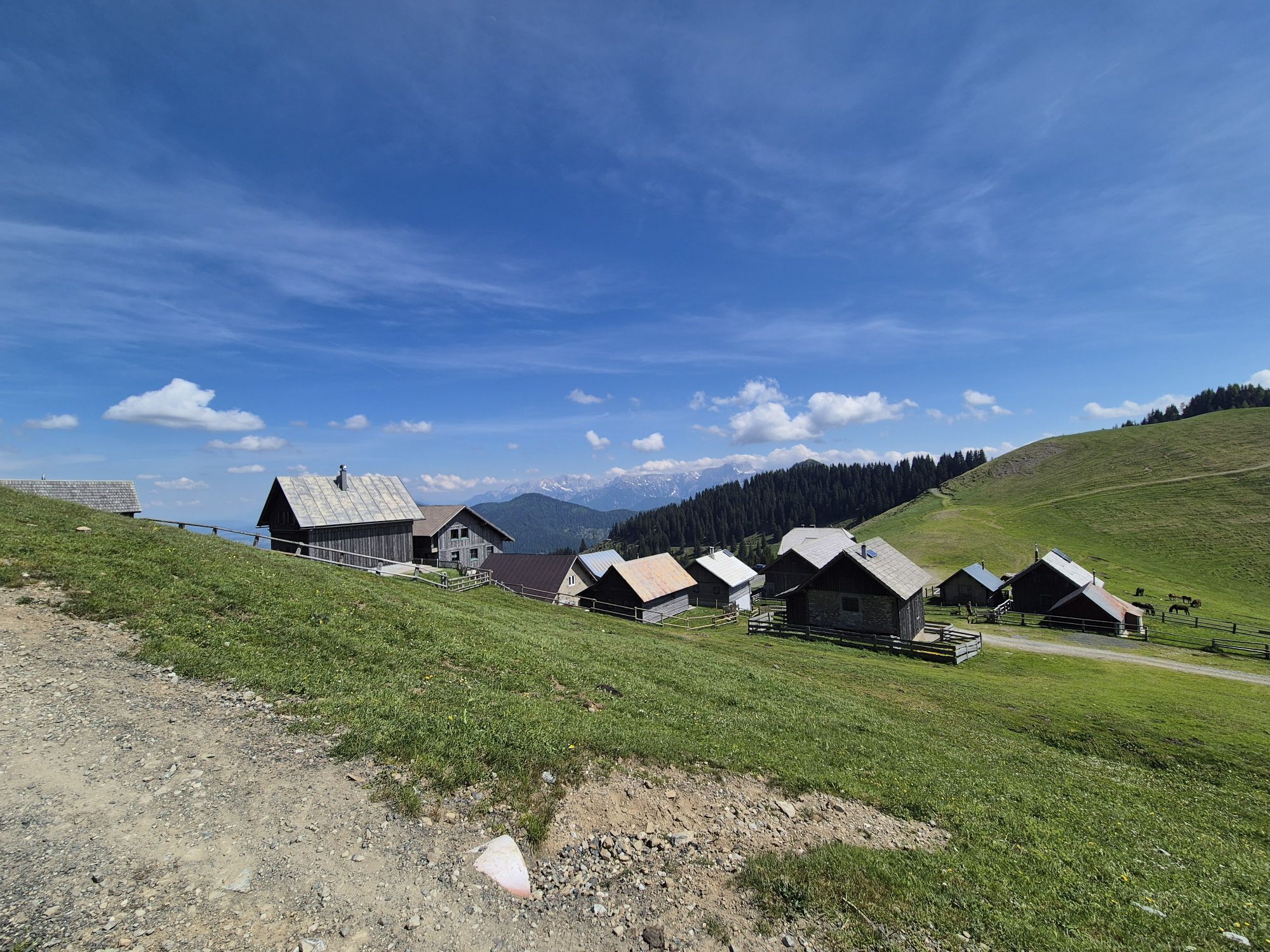
The last leg of the route starts at the Nordio-Deffar hut and ascends the slopes of M. Osternig to the airy Bistrizza saddle with its characteristic alpine village. Reaching Madonna della neve, it continues...
The subsequent ascent, very steep in places, accompanies towards Capin di Ponente.
The descent on the southern slope intercepts a forest track that at altitude leads near M. Goriane, the last peak of the long Carnic ridge. From Goriane a long descent through meadows and woods leads to the hamlet of Coccau di Sotto, the end of the entire traverse.

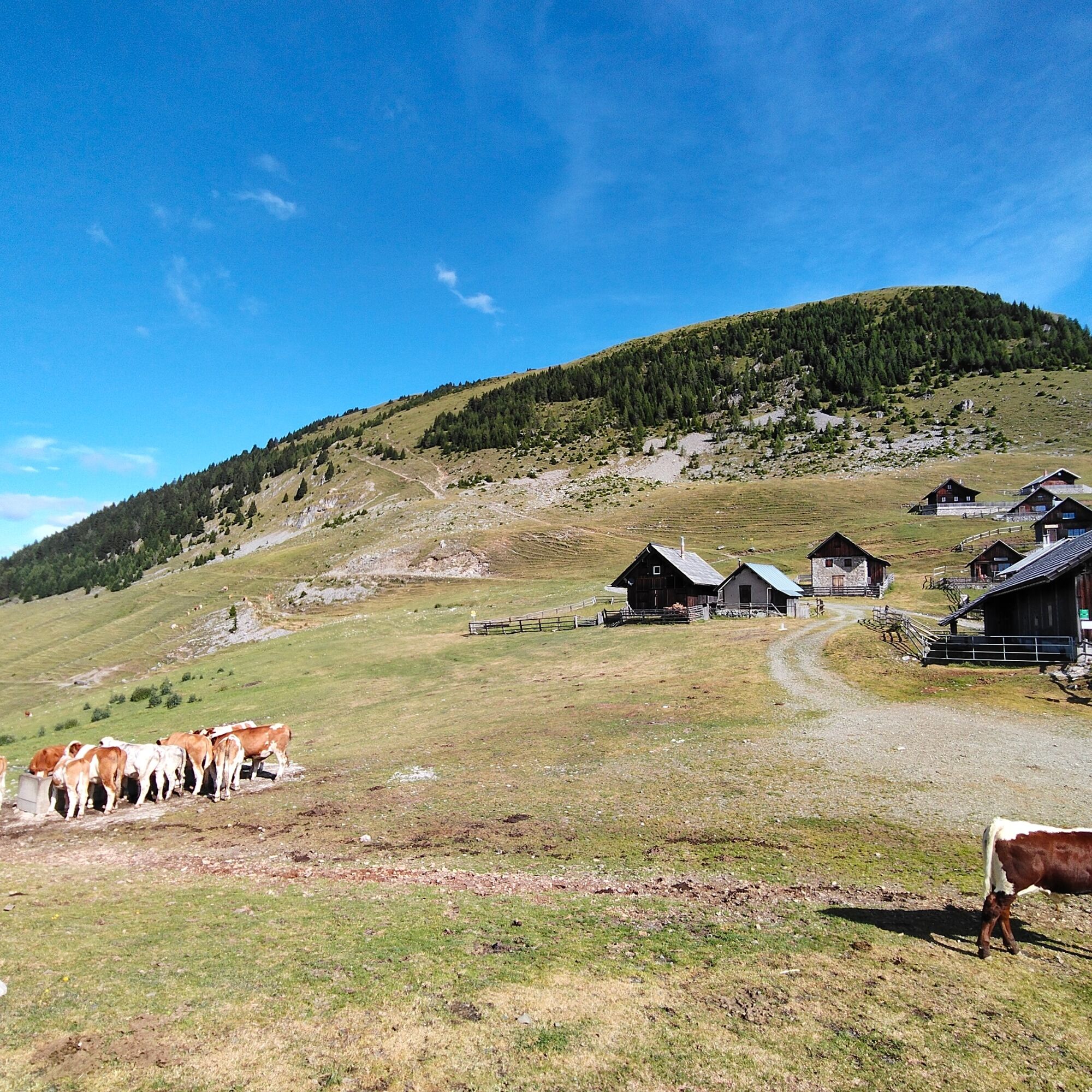
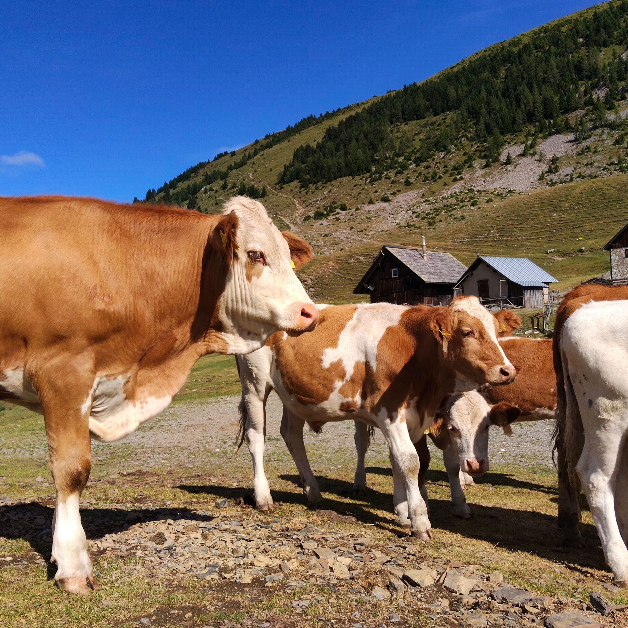
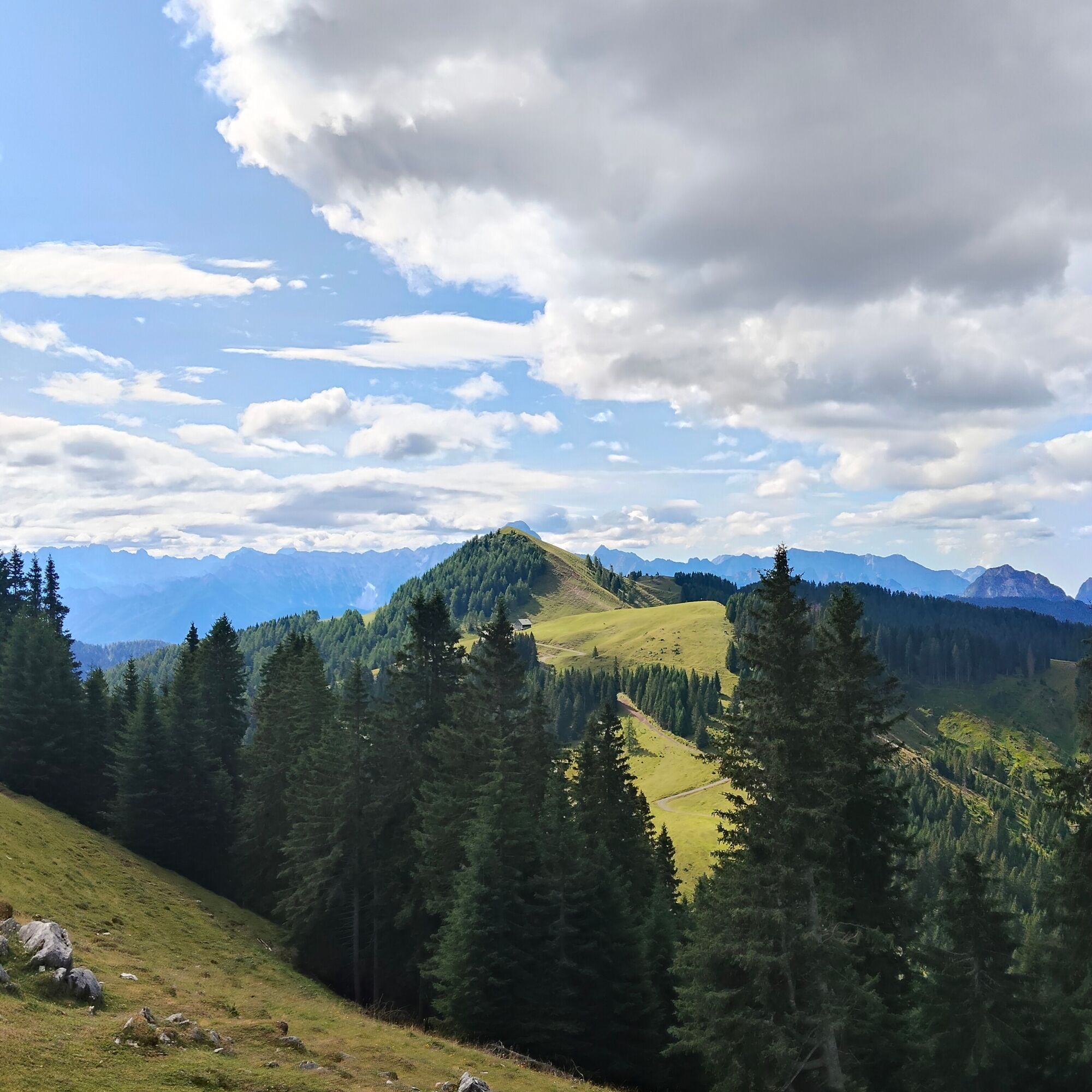
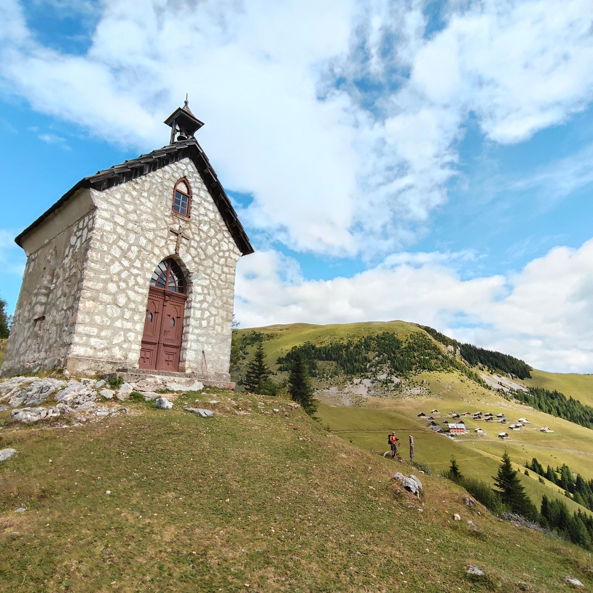
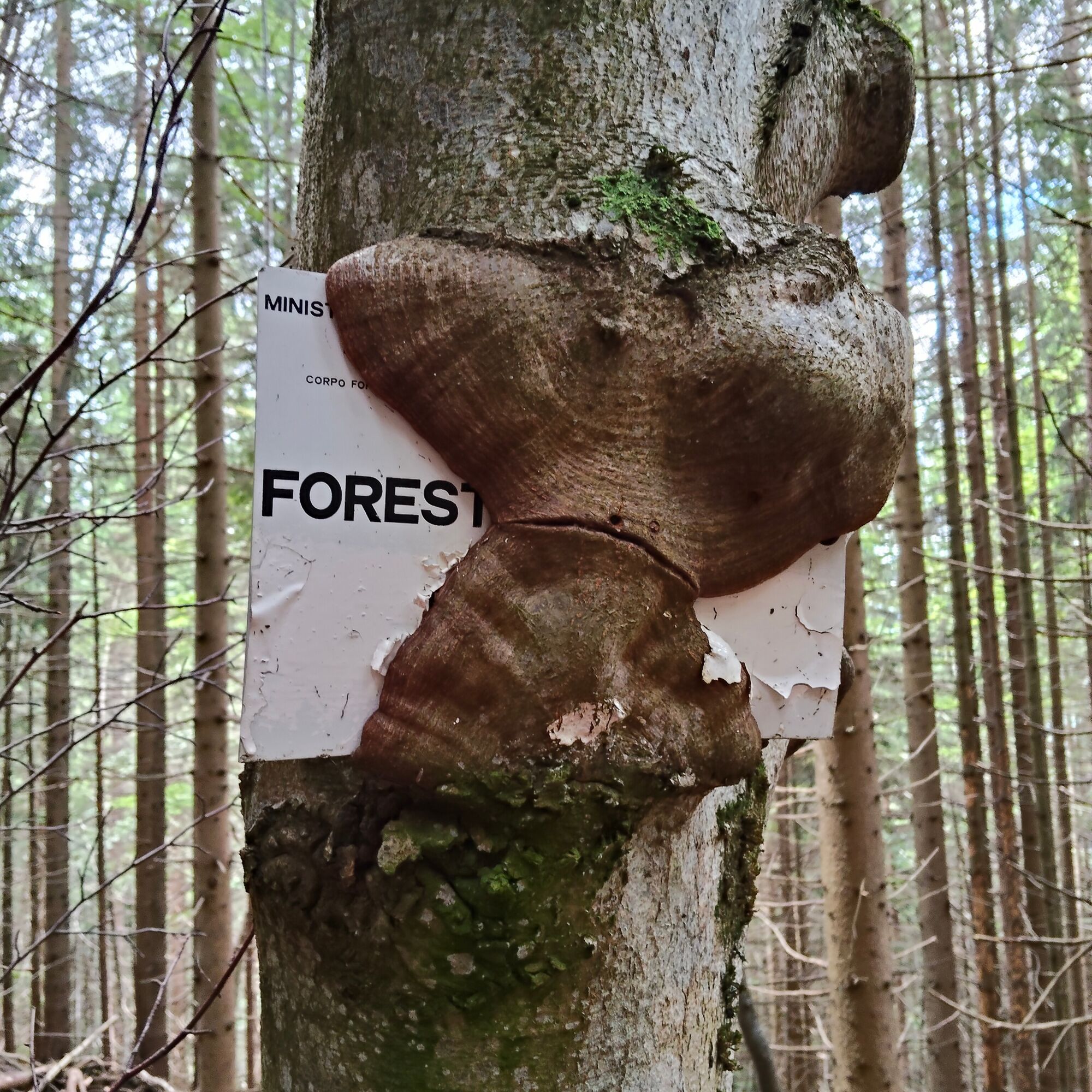

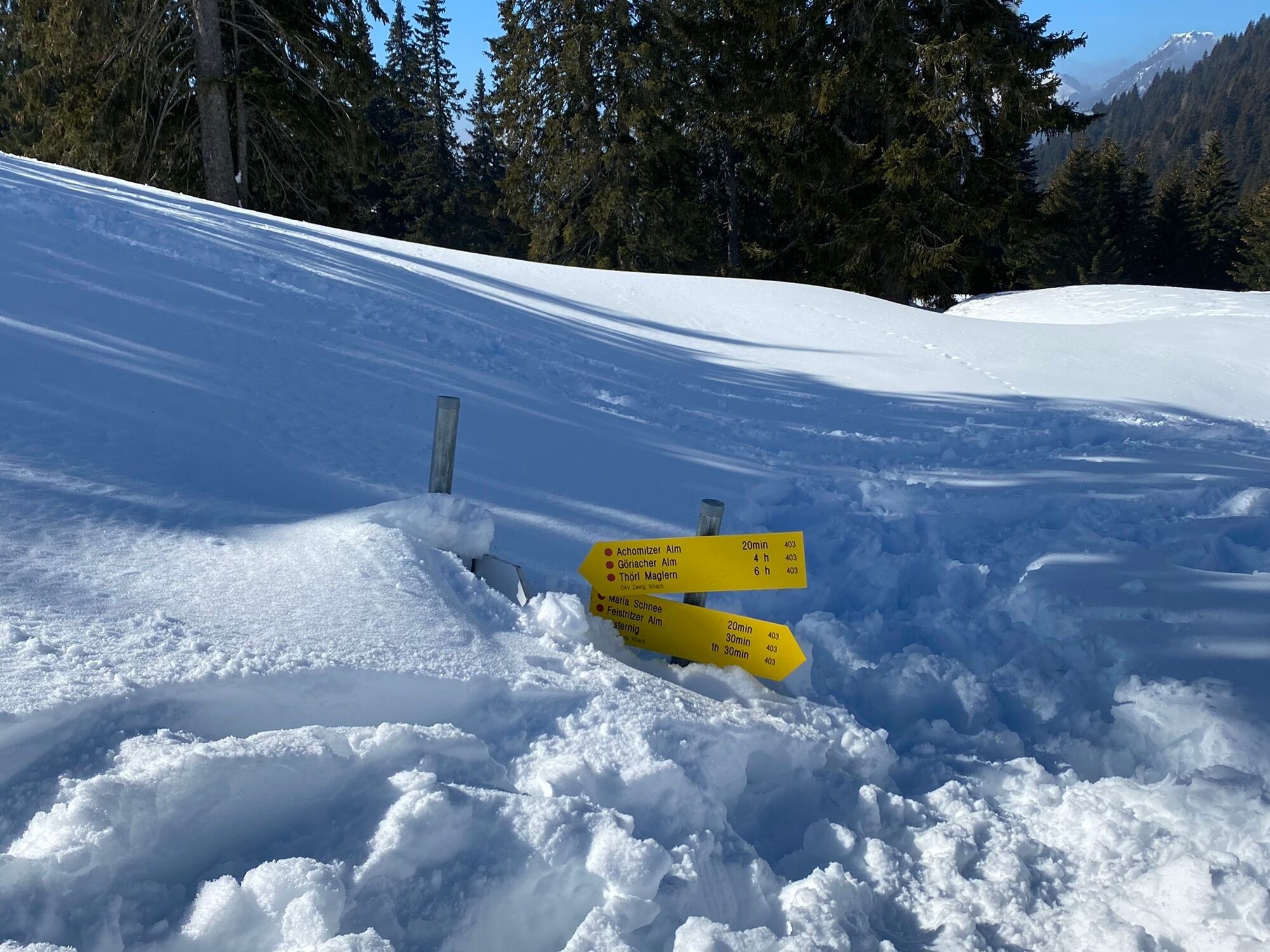
At the saddle a series of signs indicate the direction; keep to the uphill dirt road that leads toward the Acomizza malga, abandoning it at the next fork to descend, still on a forest track, to the left (malga Acomizza should not be reached).
The road descends at length with several hairpin bends (no signposts in this section). At a left hairpin bend, to the right, a path branches off that in a more direct manner descends the slopes gaining a wide pasture with a forest hut nearby. Back on the forest road, continue on it still downhill to another fork on the right with an obvious path through the forest (trail marker). Still downhill, in a short time, you reach the Sella di bartolo saddle.
At the saddle a marked path (with markings) climbs frontally within a forest, alternating sections with high gradients, to a wide clearing that precedes the entry onto a forest track. Continue to the left, on the road, for a short distance. Then bend to the right, again on a marked trail, ascending to Cadin di Ponente on the boundary line.
Just below the summit of the mountain the trail bends left downhill and at an elevation of 1610m intercepts a wide forest track that should be followed to the left. The trail passes near a regional civil defense station and gains the wide pastures of M. Goriane. Without reaching the summit, near the beginning of the meadows, the trail zigzags down to the right, first through meadows and then through beautiful woods. The long descent accompanies the houses of the hamlet of Coccau di Sotto. Keeping to the left in the village's only main street, you reach the state road near the bus stop.
Da
Normal hiking equipment.
With the exception of Alpe di Bistrizza, there are no water sources along the route.
From the hamlet of Ugovizza di Malborghetto-Valbruna a road climbs to the Alpe di Ugovizza. Upon reaching the parking lot at the head of the Uqua Valley, it is possible to park the car and ascend to the hut either by dirt road or, in part, along CAI path 507, in about 45 min.
There is no public transportation going up to the Alpe di Ugovizza and the Nordio-Deffar refuge
Ample parking at the head of the valley near the traffic ban.
T2
Watch the video of the stage
Priljubljeni izleti v okolici
-
4.5
Auf den Dobratsch mit der ganzen Familie
Pohodništvo 8.40 km -
4.7
Jezera Fusine
svetlobaPohodništvo 5.43 km -
4.9
Orrido dello Slizza, Tarvisio, Italië
svetlobaPohodništvo 2.65 km -
4.6
Weißenfelser Seen: Fusine in Valromana - Ai Sette Nani - Seealm
srednjaPohodništvo 10.3 km -
4.6
Gailtaler Alpen: Wanderung auf der Dobratsch
srednjaPohodništvo 8.50 km -
4.5
Monte Lussari
srednjaSmučarska tura 10.7 km -
4.5
Monte Lussari über den alten Pilgerweg
srednjaPohodništvo 6.43 km -
4.3
Monte Santo di Lussari, Skitour, Pilgerweg
srednjaSmučarska tura 9.35 km -
4.3
Zacchi Wanderung Rundweg
svetlobaPohodništvo 8.85 km -
4.2
Jof di Miezegnot 2087m (Malborgether Mittagskofel)
Pohodništvo 9.90 km
Pohodništvo in sledenje


Ne zamudite ponudb in navdiha za naslednje počitnice
Vaš e-poštni naslov je bil dodan na poštni seznam.





