







Monte Talm from Piani di Vas

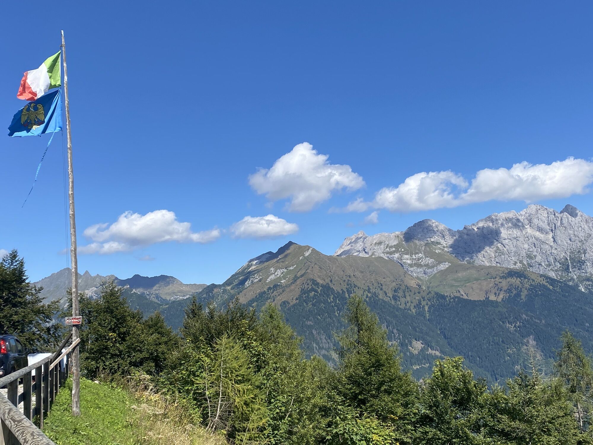
Monte Talm is the easternmost elevation of the mountain range that borders Val Pesarina to the north. The summit is accessible from both sides, offering breathtaking views that embrace Val Pesarina, Val...
Monte Talm is the easternmost elevation of the mountain range that borders Val Pesarina to the north. The summit is accessible from both sides, offering breathtaking views that embrace Val Pesarina, Val Degano and Val Calda, with picturesque villages scattered throughout the landscape. Among the visible peaks stand out Coglians and the Volaia, Fleons and Avanza mountains, while along the ridge rise the Crete di Chiampizzulon, Pleros, Cimone, Tuglia, and in the distance the Clap Group and Creta di Mimoias.
These trails, immersed in an almost untouched environment, host rare species of fauna and spring blossoms, making the excursion a unique journey between history and nature. The imposing rocky walls of the surrounding panoramas give a magical atmosphere to an already extraordinary landscape, creating an unforgettable experience for mountain lovers.

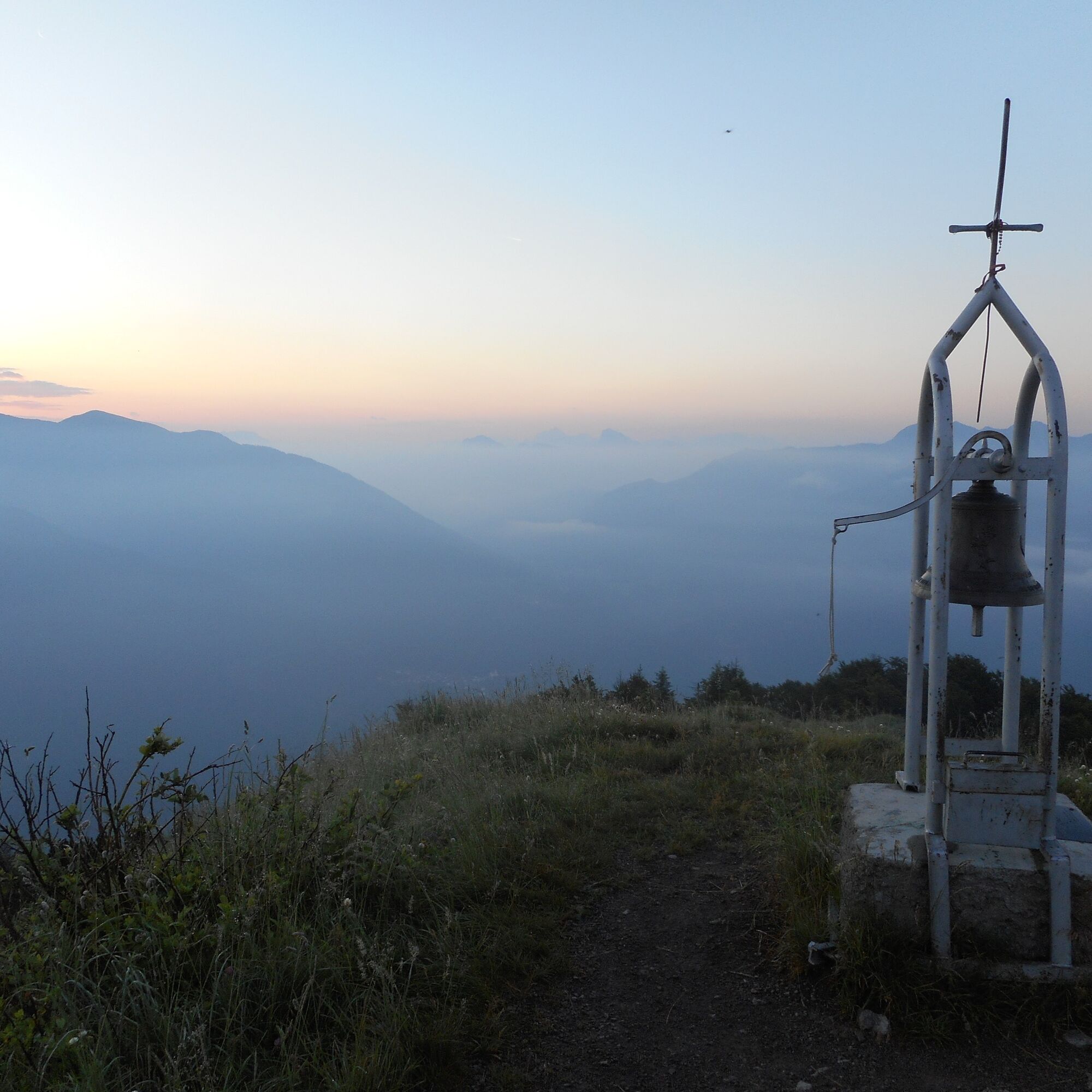
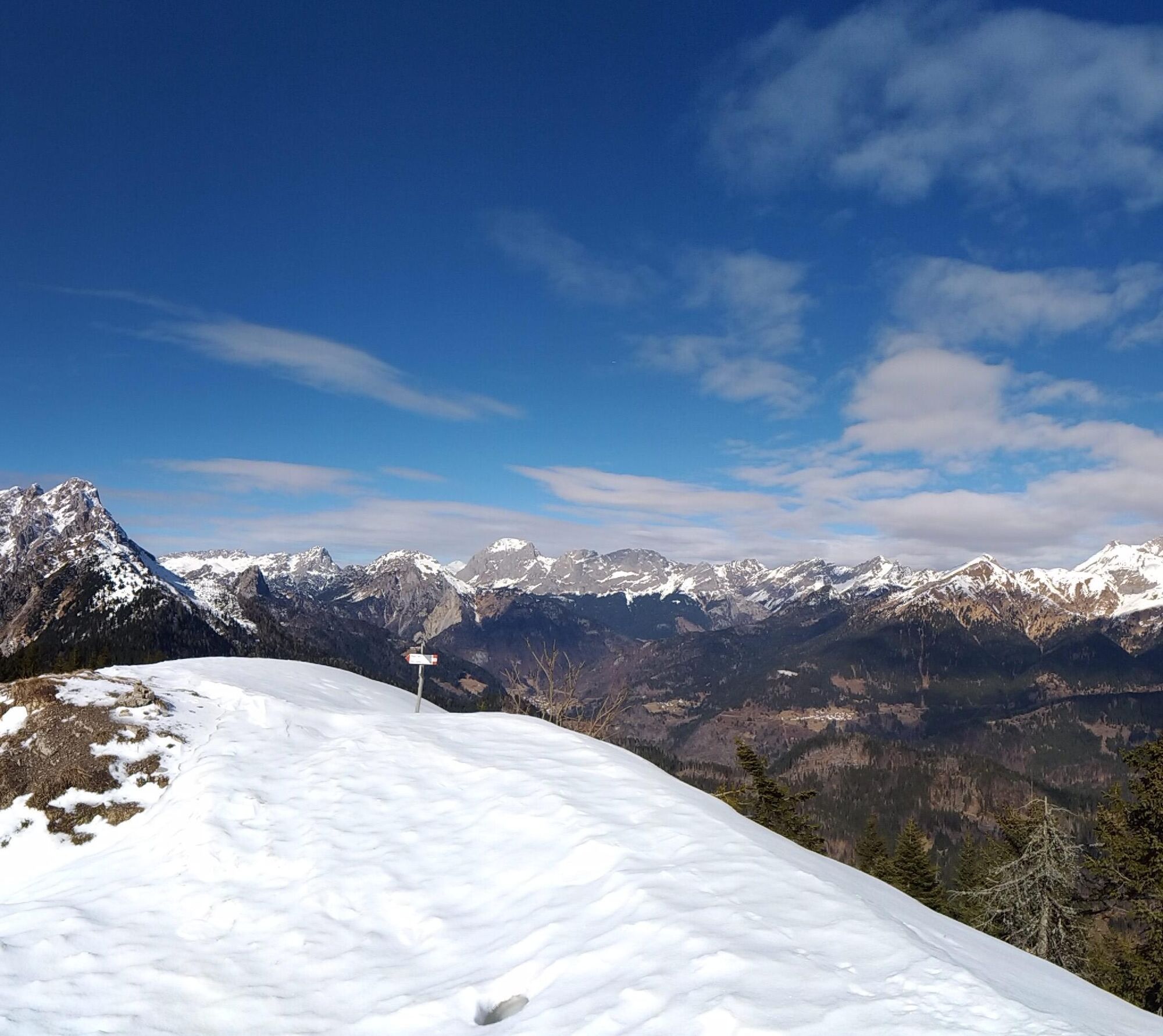
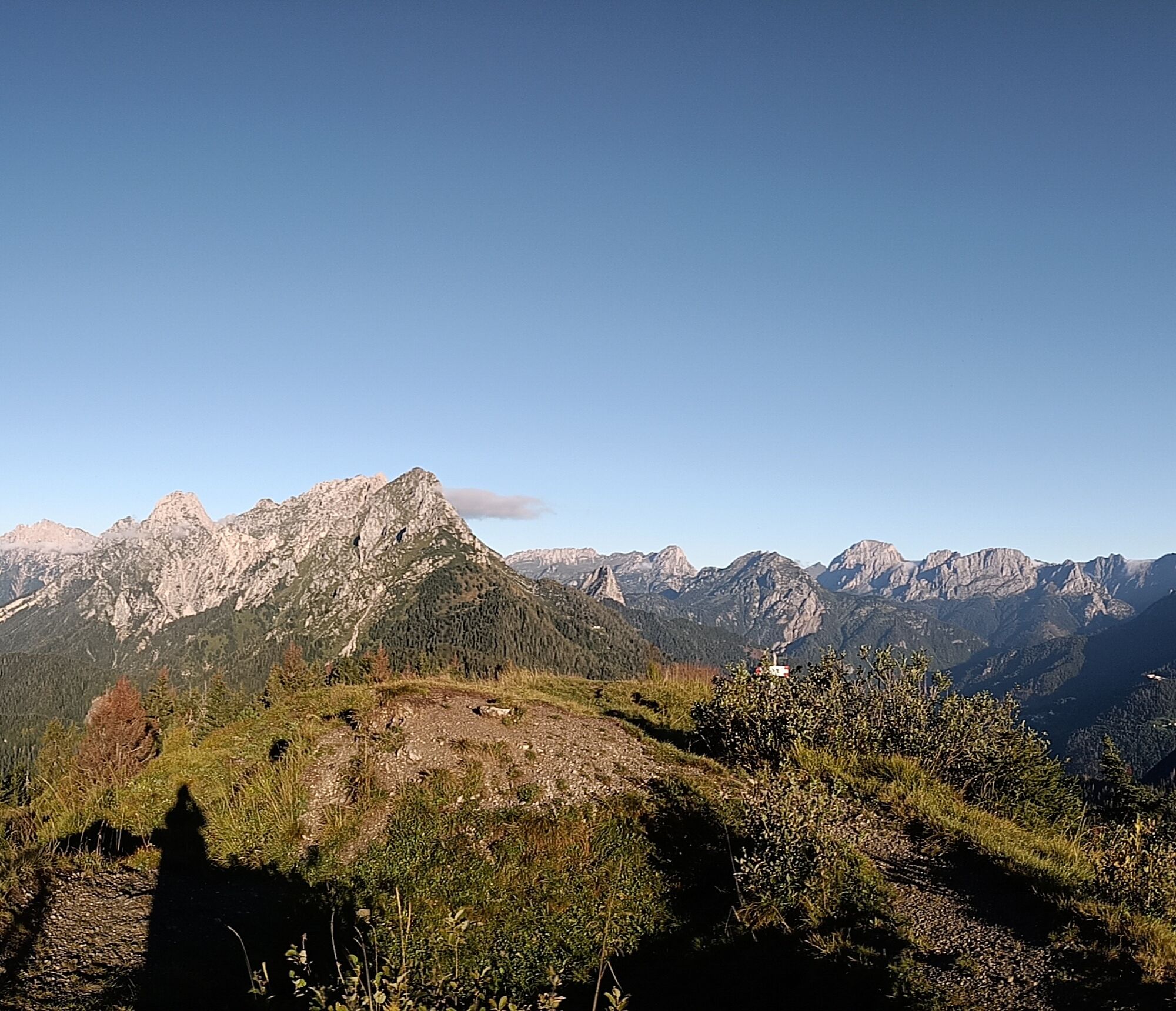
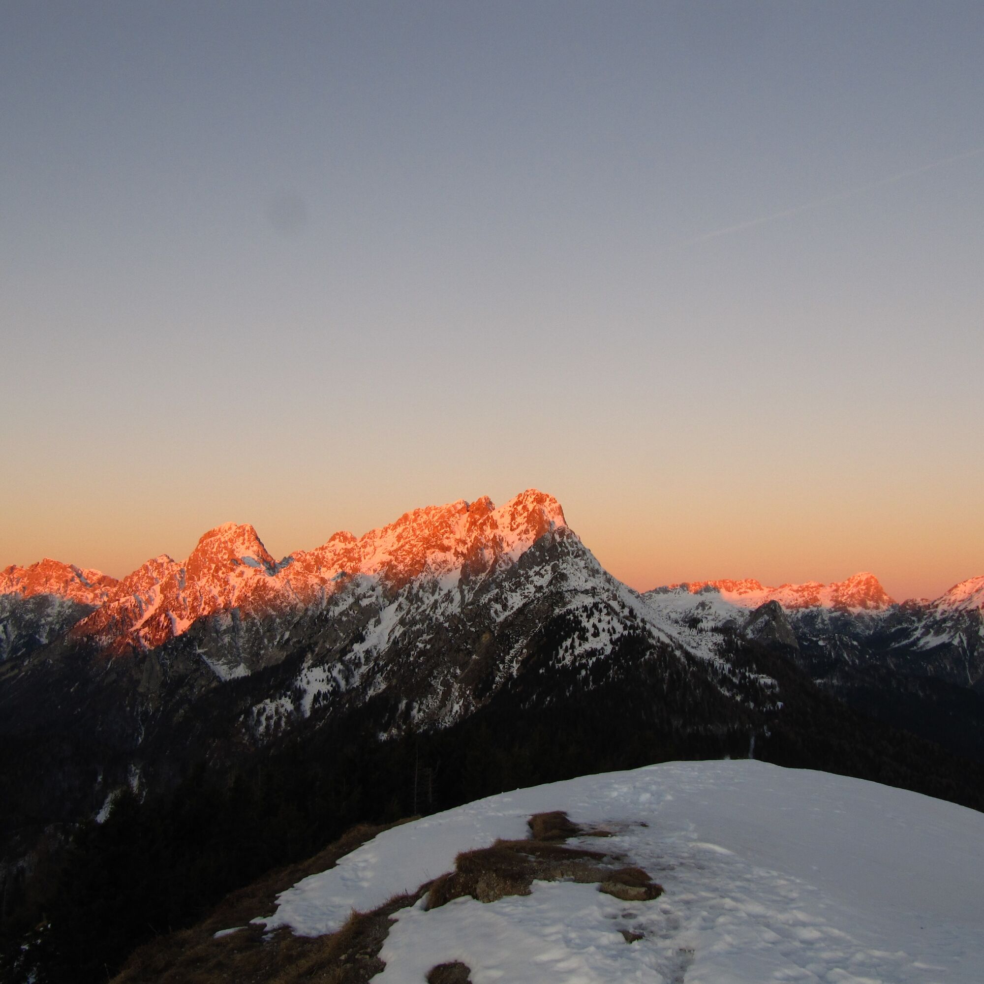
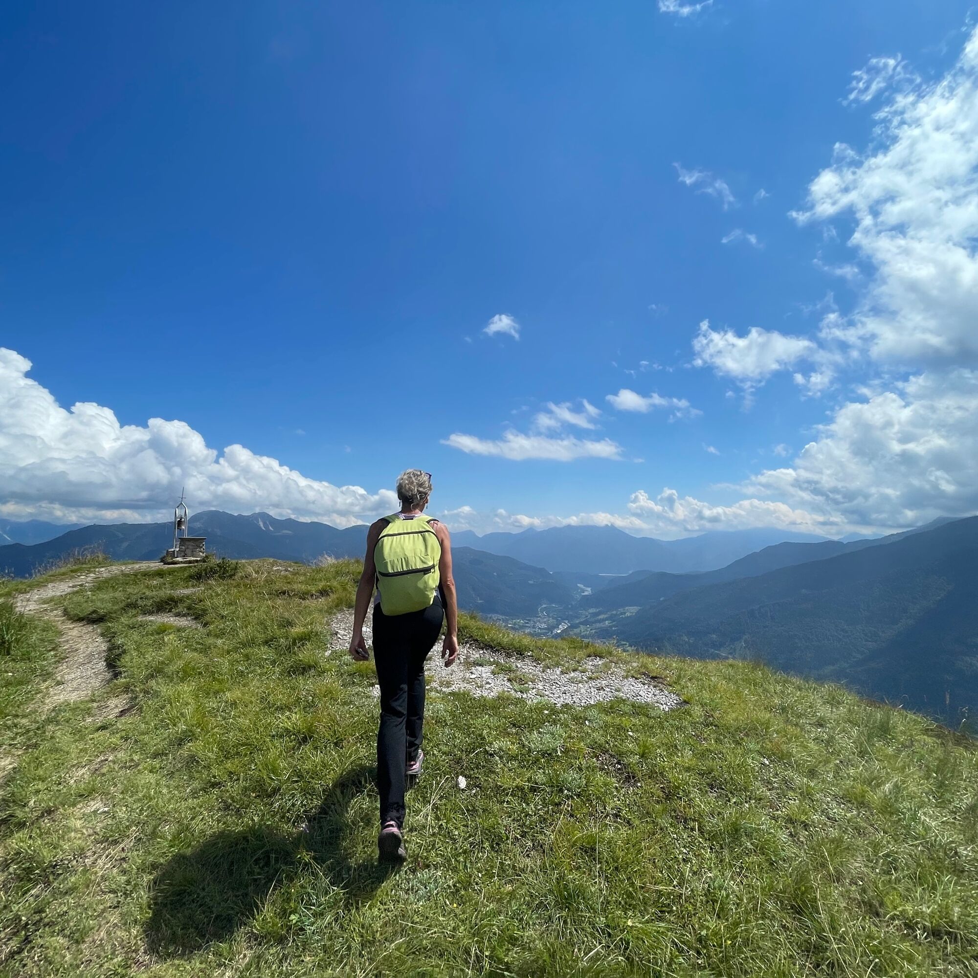
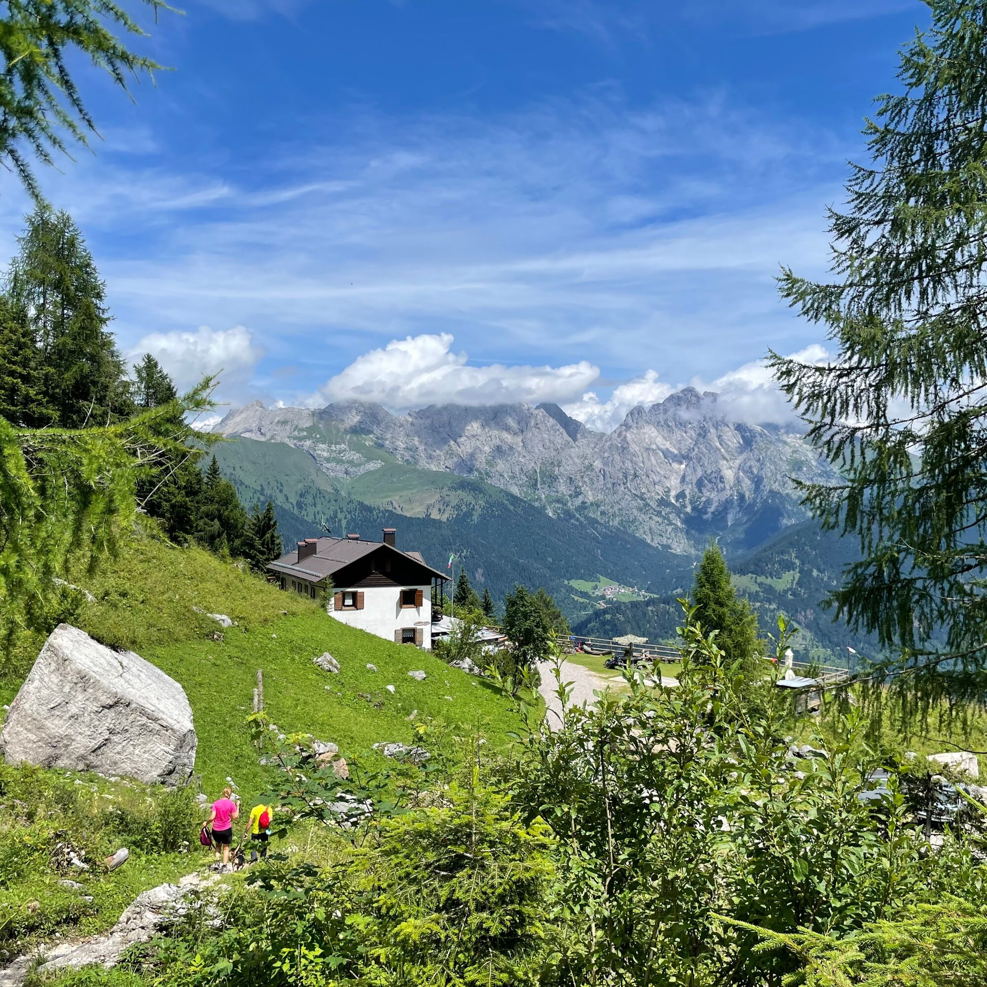
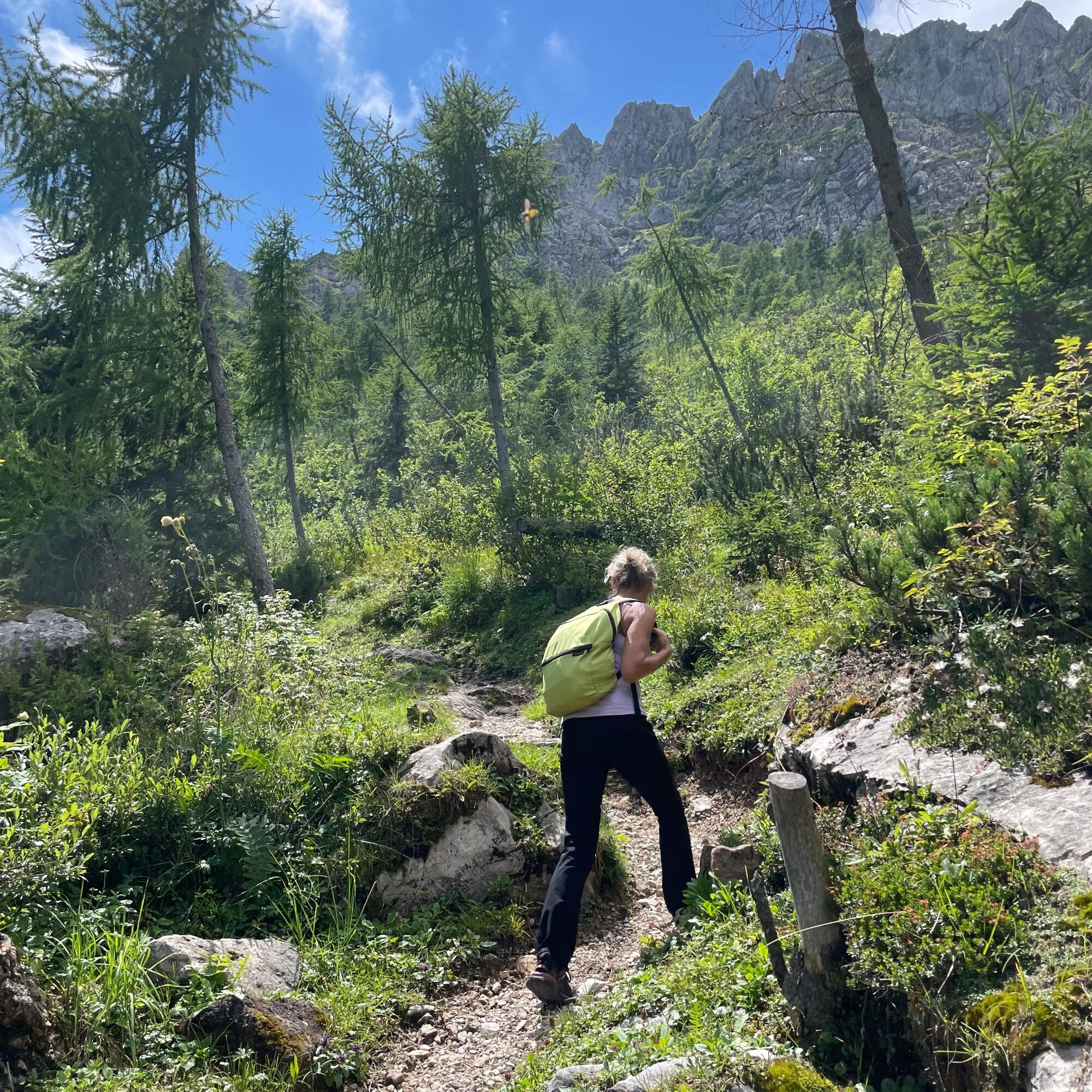

From the parking lot we start on foot following the forest road that, from Piani di Vas, climbs towards the Talm saddle (CAI path 227 then 228a to cut across the numerous hairpin bends). From the Saddle, take path 226a which goes into the woods (not the descending road) briefly reaching the Baita of the Hunters' Refuge (private) then continue with ups and downs until the last uphill section through the woods, reaching the grassy ridge and then the summit of Monte Talm where the Friendship Bell stands out.
For the descent, take CAI path 226 which quickly descends from the southern side towards Prato Carnico among the summit meadows, quickly immersing into the woods. Once you reach the forest track (CAI 228) go back uphill to regain the Talm saddle. Continue on the same: after about 500 m we find on the left the path that climbs and takes us to the Chiampizzulon Refuge.
From here, descend along the forest road and then along the same route taken uphill, reaching back the Piani di Vas.
Da
Da
Da
Da
Standard hiking equipment, depending on the season.
During the winter period and with snow cover, pay special attention to the ridge area and the path descending from the summit to the south. If necessary, equip yourself with the appropriate gear for snowy terrain and the ARTVA safety kit, shovel, and probe.
From Tolmezzo towards Sappada up to Rigolato SS355 then turn left to the hamlet of Ludaria following signs for Rif. Chiampizzulon and finally to Piani di Vas where parking is available.
It is possible to reach the village of Rigolato by public transport.
Parking at Piani di Vas
For hikers not adequately prepared or for very small children it is possible to limit the climb to the Chiampizzulon refuge.
The Chiampizzulon refuge offers catering service during opening periods.
Priljubljeni izleti v okolici
-
4.5
Karnischer Höhenweg – Etappe 4: Hochweißsteinhaus – Wolayersee Hütte
težkoPohodništvo v daljavo 15.9 km -
4.5
Obergail - Obergailer Alm - Obergailer Lake - Enderberg hut - Source for Health & Peace - Madonna circular hiking route - Obergail
srednjaPohodništvo 11.4 km -
4.4
Mountain bike route from the Hubertus Chapel to the Wolayersee
težkoMountainbike 9.06 km -
4.8
Karnischer Hauptkamm - Hohe Warte 2.780m - Hike and Bike
težkoGorski pohodništvo 19.5 km -
3.7
Cellon-Stollen und Senza Confini auf den Cellon und Steinberger Weg zum Abstieg
srednjaVia ferrata 7.09 km -
4.0
Circular hike Obergail - Gamskofel - Obergail Alm - Obergail
srednjaPohodništvo 13 km -
5.0
Valentin-Wolayersee-Runde
srednjaPohodništvo 12.4 km -
3.2
Wolayersee
srednjaPohodništvo 7.90 km -
3.7
RW_N61 Kleiner Pal (1,867 m)
težkoPohodništvo 6.52 km -
5.0
Frischenkofel
srednjaPohodništvo 5.25 km
Pohodništvo in sledenje


Ne zamudite ponudb in navdiha za naslednje počitnice
Vaš e-poštni naslov je bil dodan na poštni seznam.





