






Le chemin des Moines

This is a mythical "ridge path" between Tournus and Cluny on the GR 76, 76A and 76C. It takes its name from the links between the abbeys of Cîteaux and Cluny in the 12th century. Running along the crests...
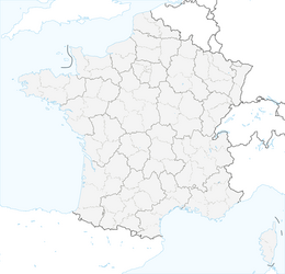
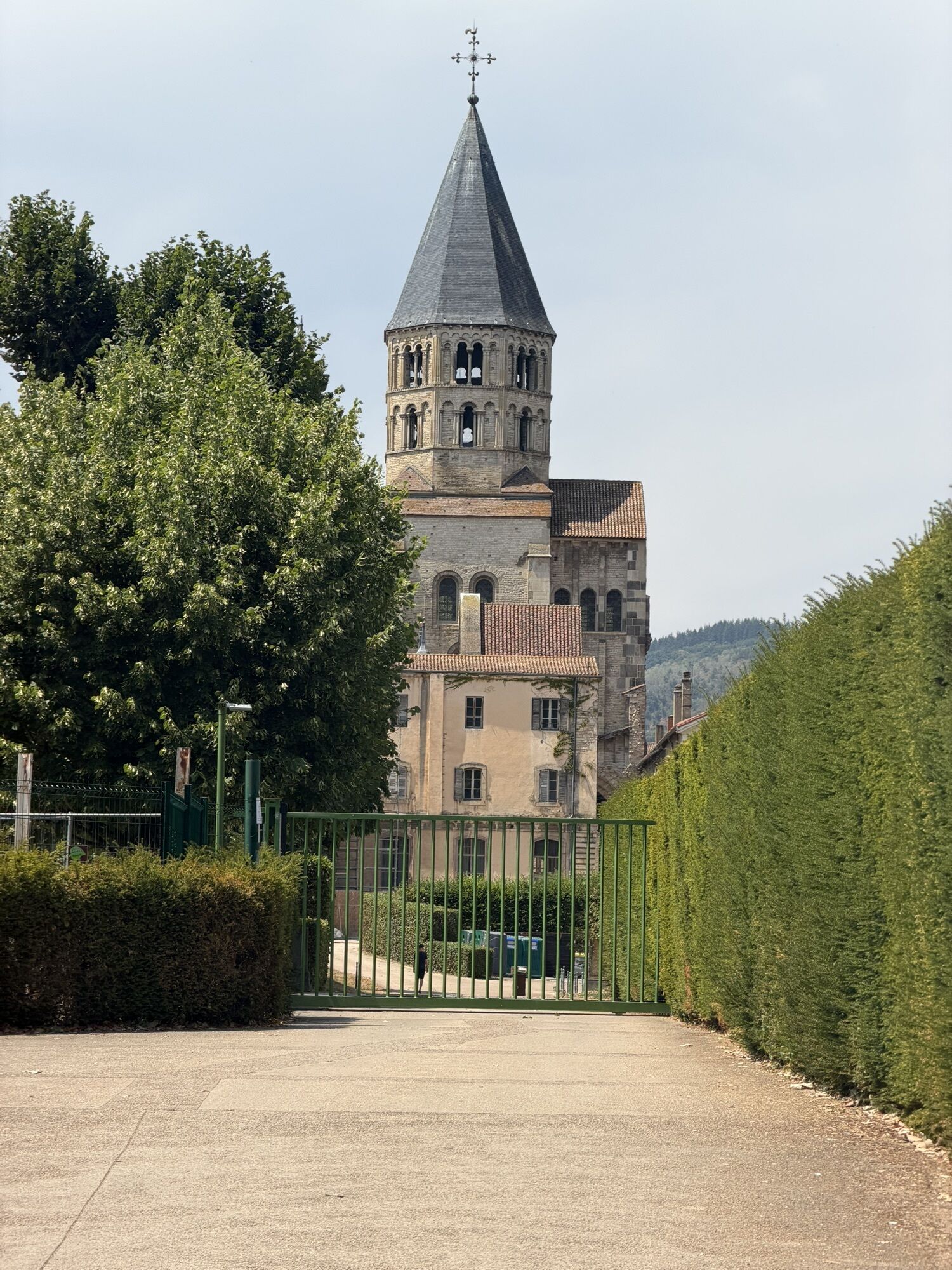
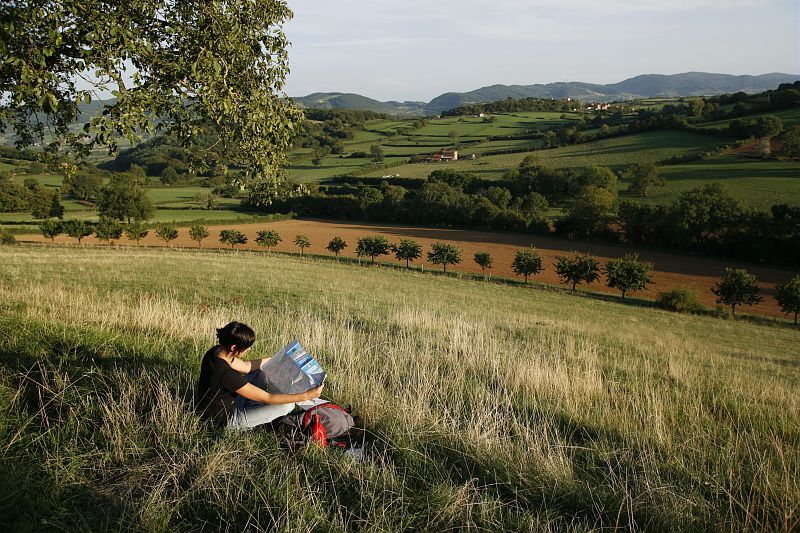
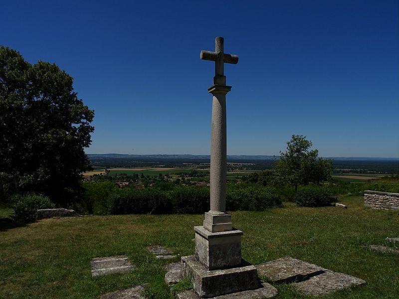
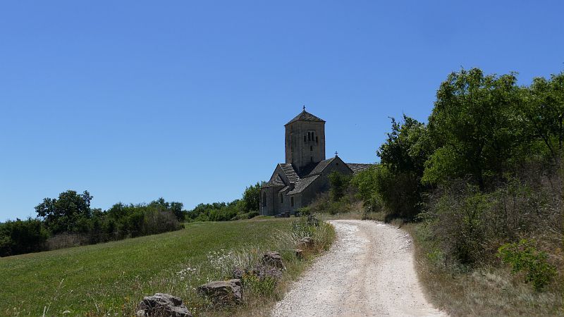
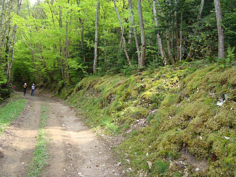
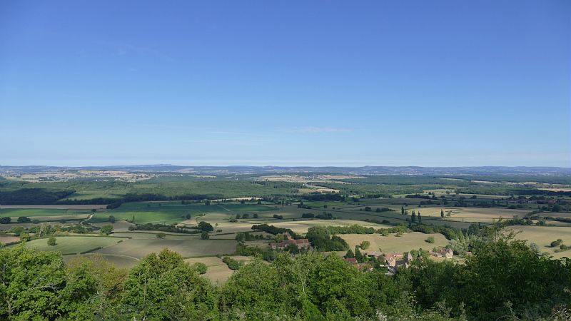
This is a mythical "ridge path" between Tournus and Cluny on the GR 76, 76A and 76C. It takes its name from the links between the abbeys of Cîteaux and Cluny in the 12th century. Running along the crests of the hills, following the contours of the land to avoid as many ascents and descents as possible, this was also the most popular route of all for the monks of Cluny, who used it time and time again. It follows the spine of the Monts du Mâconnais from Laives to Cluny, where it joins the route to Santiago de Compostela. Its crest line offers panoramic views over the deciduous forests and the plain. The route passes many attractive sites: the Romanesque church of Saint-Martin-de-Laives, the Roche d'Aujoux, Etrigny, Balleure, the picturesque medieval village of Brancion, Mont Saint-Romain, Blanot, Donzy-le-Pertuis and the abbey town of Cluny. The route crosses a number of passes: Col de Navois (446 m), Roche d'Aujoux, Col des Chèvres (419 m), Col de Brancion, Col de la Pistole, Mont Saint-Romain (550 m), Col de la Croix, Col de la Percée.
Information on this route can be obtained from the Sennecey-le-Grand or Cluny tourist offices.

In case of emergency, dial 112
Consider carpooling
Scegliete il trasporto pubblico per i vostri spostamenti
Parking near the starting point
Priljubljeni izleti v okolici
-
CycloRoute71 - Etape 2 de Cormatin à Tournus
srednjaKolesarjenje 31.1 km -
CycloRoute71 - Etape 1 de Mâcon à Cormatin
srednjaKolesarjenje 51.1 km -
Boucle "Vélo & Fromages"
svetlobaKolesarjenje 322.2 km -
Le Marais de Massilly
svetlobaPohodništvo 0.20 km -
Les crêtes boisées du Mâconnais
srednjaMountainbike 170.8 km -
Du toit des grottes à la Mouge
svetlobaPohodništvo 1.25 km -
Les quatre vents
srednjaJahanje 17.4 km -
La Boucherette
svetlobaPohodništvo 3.37 km -
Boucle 10 bis : Boucle des églises romanes
srednjaKolesarjenje 35.8 km -
De Villages en Hameaux
srednjaPohodništvo 9.36 km
Pohodništvo in sledenje


Ne zamudite ponudb in navdiha za naslednje počitnice
Vaš e-poštni naslov je bil dodan na poštni seznam.





