



N26 Breitenbrunn Reed Nature Trail

Stopnja težavnosti: T1
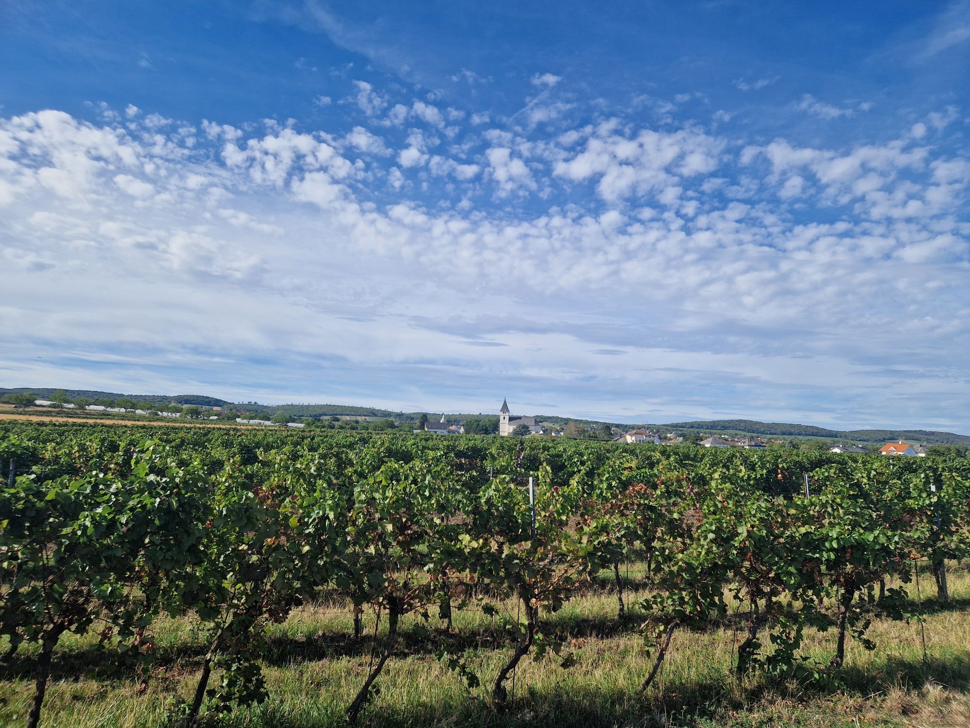
Experience nature – discover knowledge, all while enjoying a leisurely hike through the reeds. Here, you can literally immerse yourself in the world of this unique habitat: the rustling of the reeds, the...
Experience nature – discover knowledge, all while enjoying a leisurely hike through the reeds. Here, you can literally immerse yourself in the world of this unique habitat: the rustling of the reeds, the chirping of insects, and the sweeping view of the lake create an intense nature experience – peaceful, relaxing, and typically Pannonian.

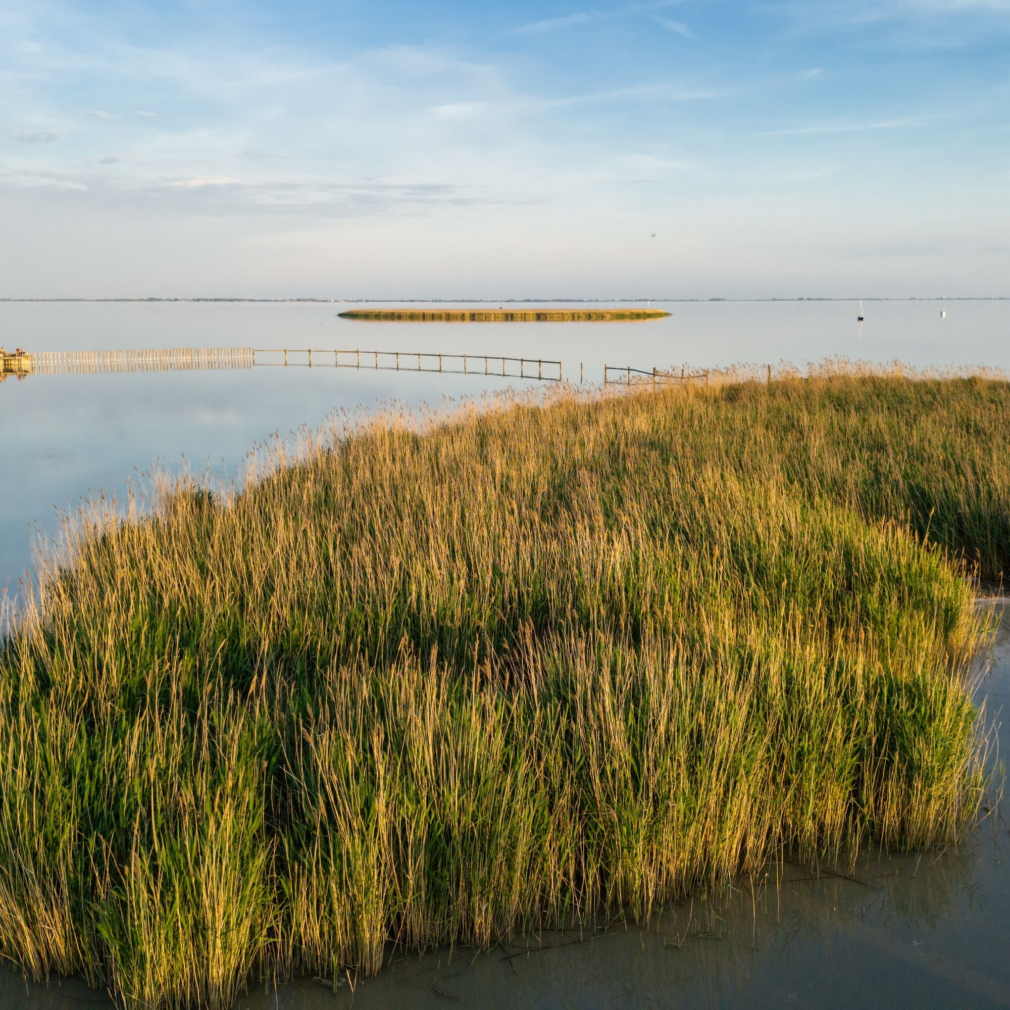
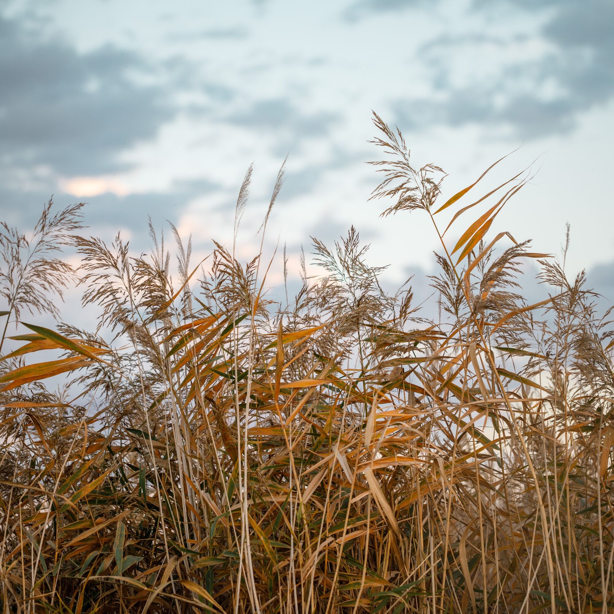
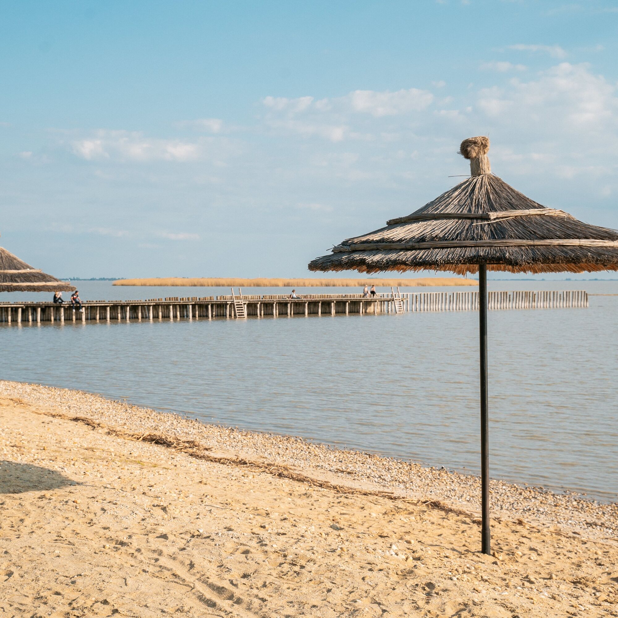

Walk about 2.5 miles along the easy walking path from the town center or train station to the lake shore.
If you start at the fortified tower in the town center, you have to turn right at the fork in Bahnstraße.
If you start at the train station, you must turn left at the fork in Bahnstraße.
At Seestraße, the narrow, easily accessible path, which is slightly off the main route, leads through the middle of the reed belt.
Informative display boards provide interesting facts about the reed habitat, its ecological significance, and its traditional uses. The reed belt is one of the most species-rich habitats in the region and is a refuge for numerous animal species.
With a little luck, you can observe reed warblers, herons, or the majestic marsh harrier here. Dragonflies and the rare fire-bellied toad thrive in the wetter areas – silent proof of the high ecological quality of this habitat.
Several seating and resting areas, some of which are shaded, invite you to linger. Whether for a short break, bird watching, or simply to enjoy the landscape, the trail offers numerous opportunities to soak up the special atmosphere of Lake Neusiedl.
Da
Lake Neusiedl is easily & comfortably accessible by train. No matter if you come from Switzerland, Germany, western or southern Austria: you can relax and change at Vienna Main Station. The regional trains of ÖBB will take you to Neusiedl am See station in just under 40 minutes, where coordinated bus and train connections towards Pamhagen / Fertöszentmiklos or Eisenstadt and Sopron are also offered. In most trains, bicycle transport is possible: on Railjet and EC/IC as well as Nightjets, a reservation for your bicycle is absolutely necessary. In regional trains, your bicycle is taken along without reservation subject to availability of existing bicycle spaces.
Timetable info: ÖBB
T1
With the Burgenland Card: Unlimited vacation enjoyment and offers as far as the eye can see!
Avec la Burgenland Card : des vacances sans limites et des offres à perte de vue!

Priljubljeni izleti v okolici
- 4,7
Cherry Blossom Cycle Route
srednjaKolesarjenje 43,2 km - 4,8
Kloster St. Anna & Ruine Scharfeneck zu Mannersdorf
svetlobaPohodništvo 5,27 km - 4,6
MANNERSDORF, St.Anna, Aussichtspkt. Stb.1 Ruine Scharfeneck, F.J.Warte, Aussichtspkt. Stb.2 20230329
srednjaPohodništvo 16,5 km - 4,6
Ochsenbründlrunde
svetlobaPohodništvo 8,34 km - 4,4
N21 WeinWeg Gols
svetlobaPohodništvo 13,0 km - 4,4
Smugglers' route "Donnerskirchen" to Mannersdorf
težkoPohodništvo 18,8 km - 4,4
About / around the Burgstall
srednjaPohodništvo 10,1 km - 3,8
Mannersdorf Wüste - Gipfelkreuz - Ruine - Labyrinth
svetlobaPohodništvo 9,32 km - 4,4
Festival cycling route | Variant Donnerskirchen - Oggau - Oslip - Schützen - Donnerskirchen
svetlobaKolesarjenje 27,5 km - 4,4
Seeweg Purbach - Advanced
srednjaTematska pot 9,38 km
Pohodništvo in sledenje


Ne zamudite ponudb in navdiha za naslednje počitnice
Vaš e-poštni naslov je bil dodan na poštni seznam.


