







Inzell Bäckeralm loop
Stopnja težavnosti: 3
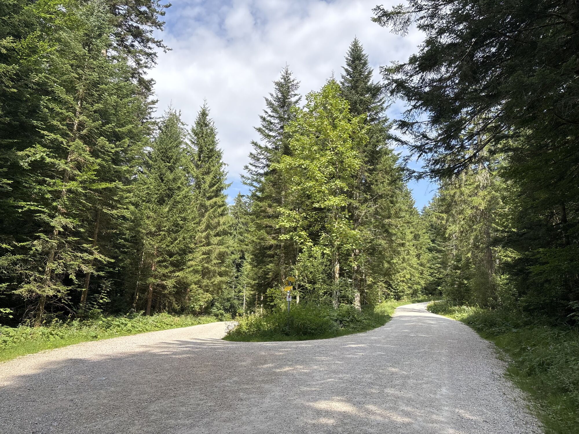
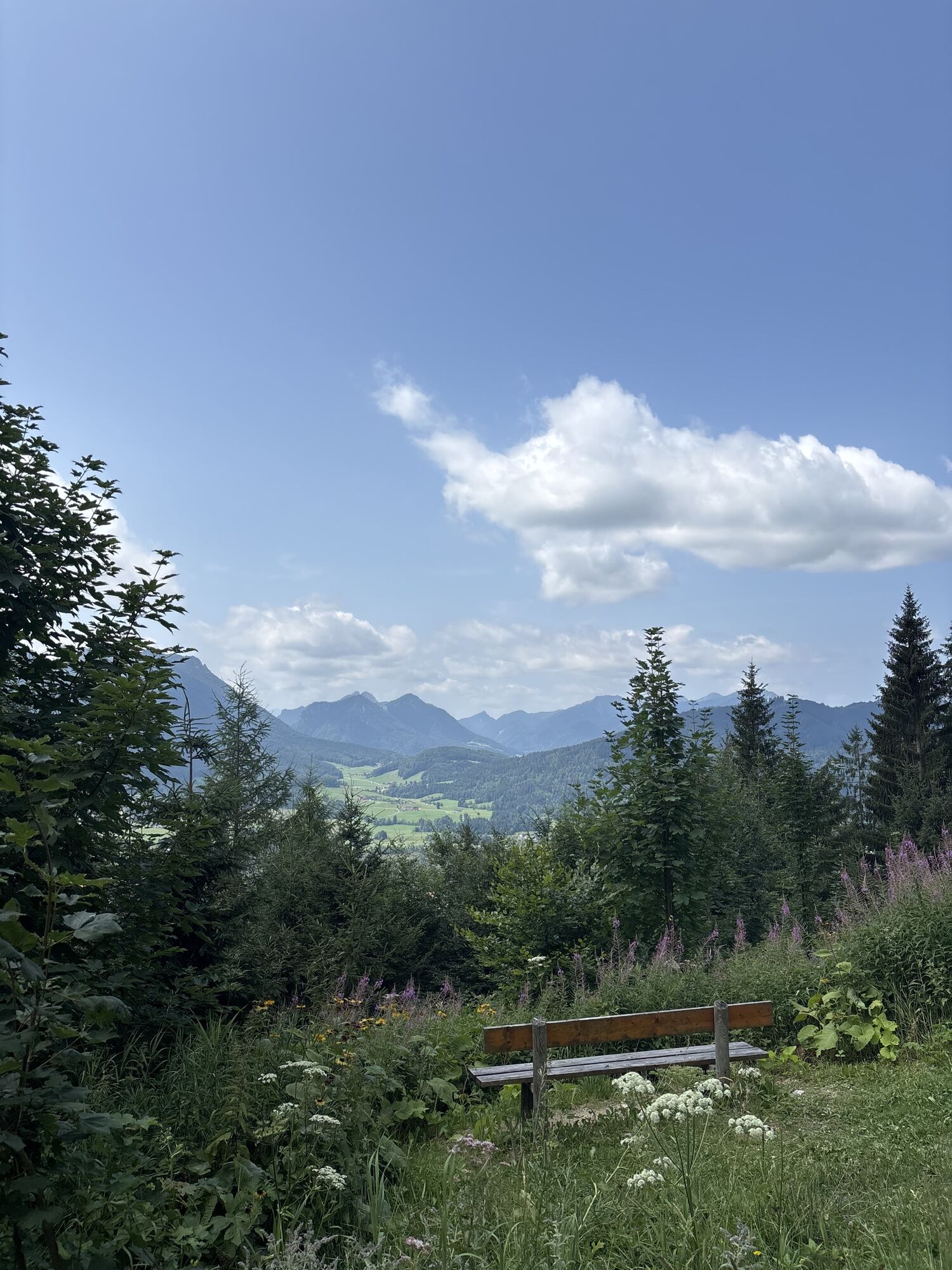
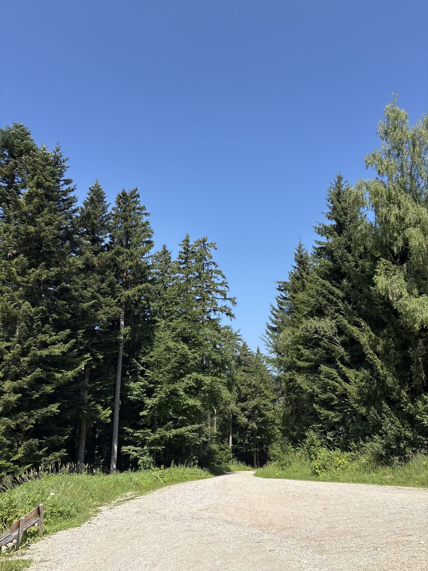
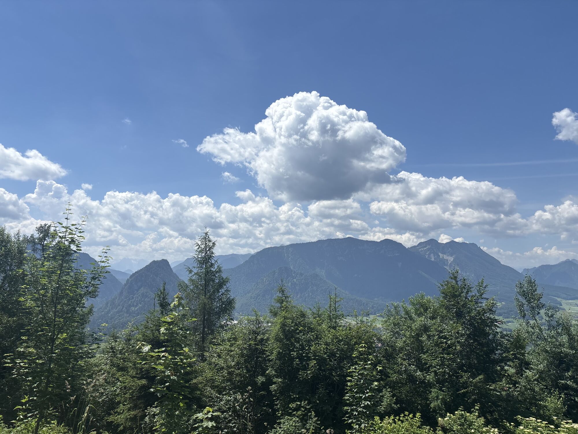
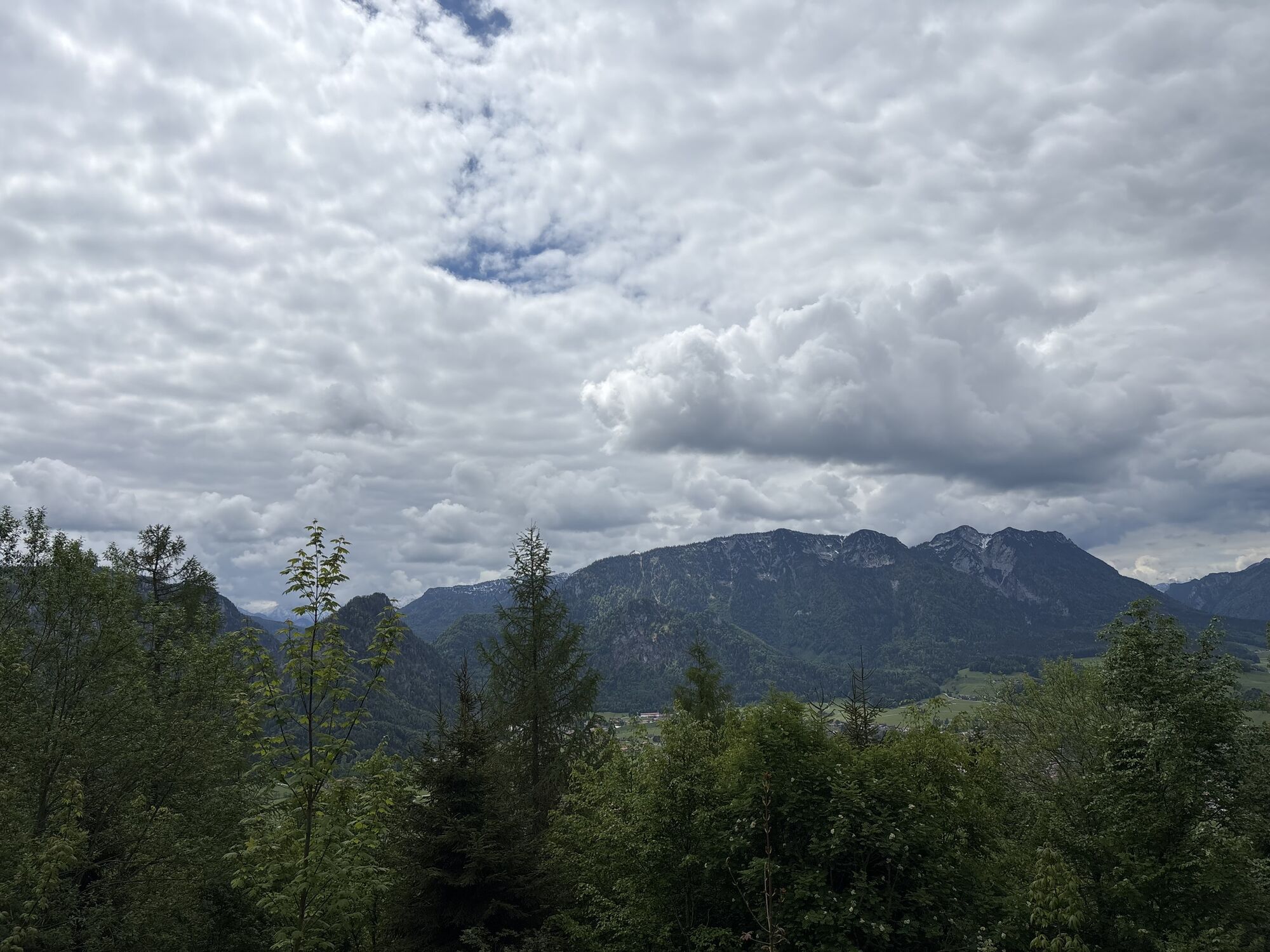
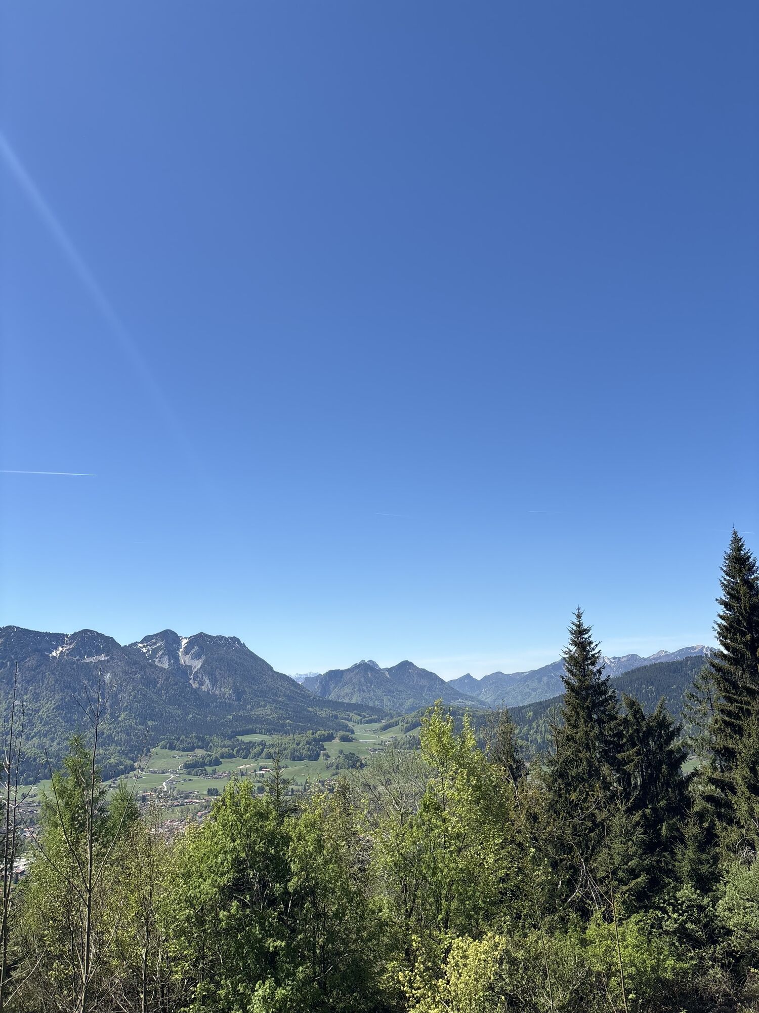
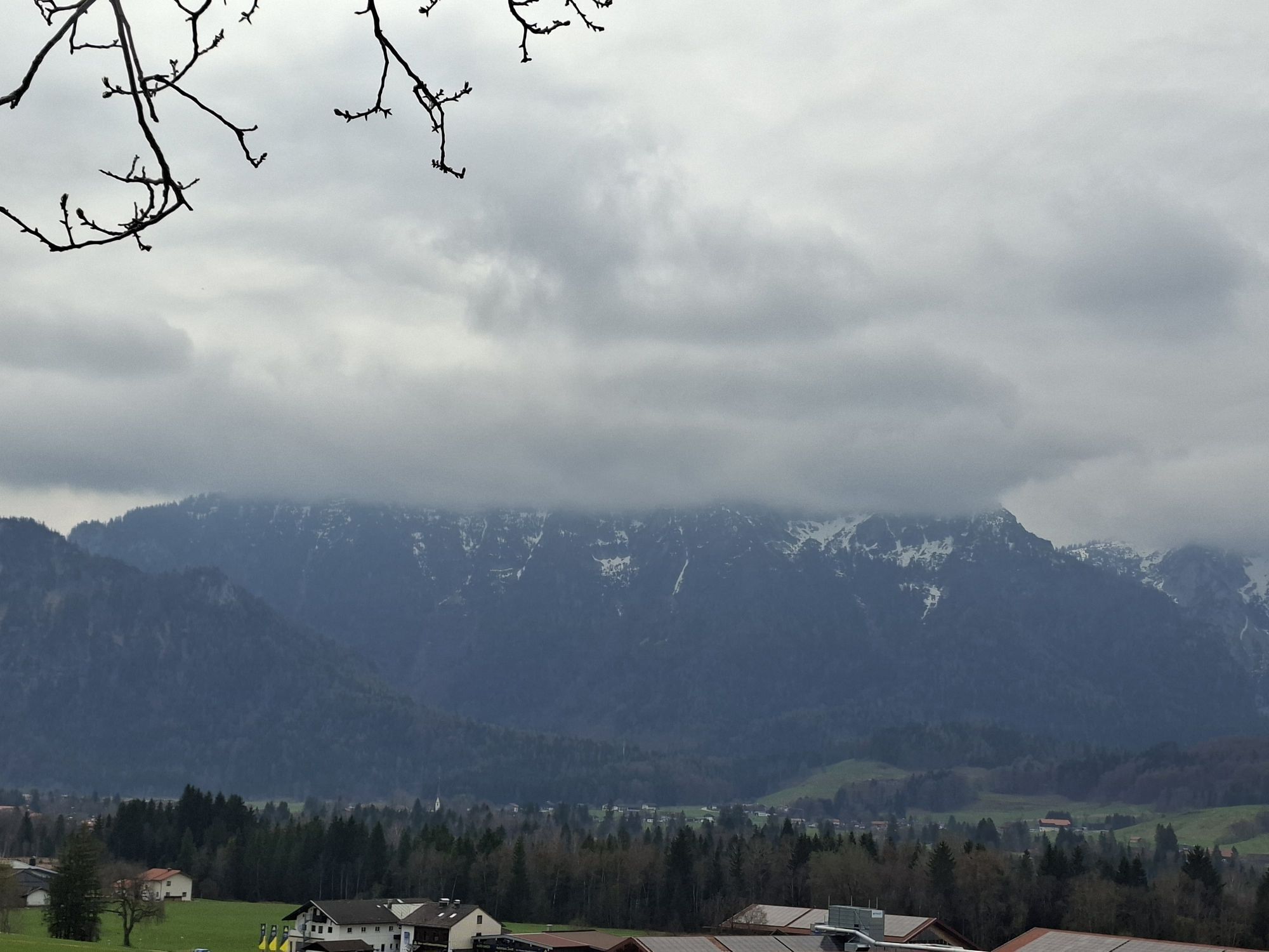
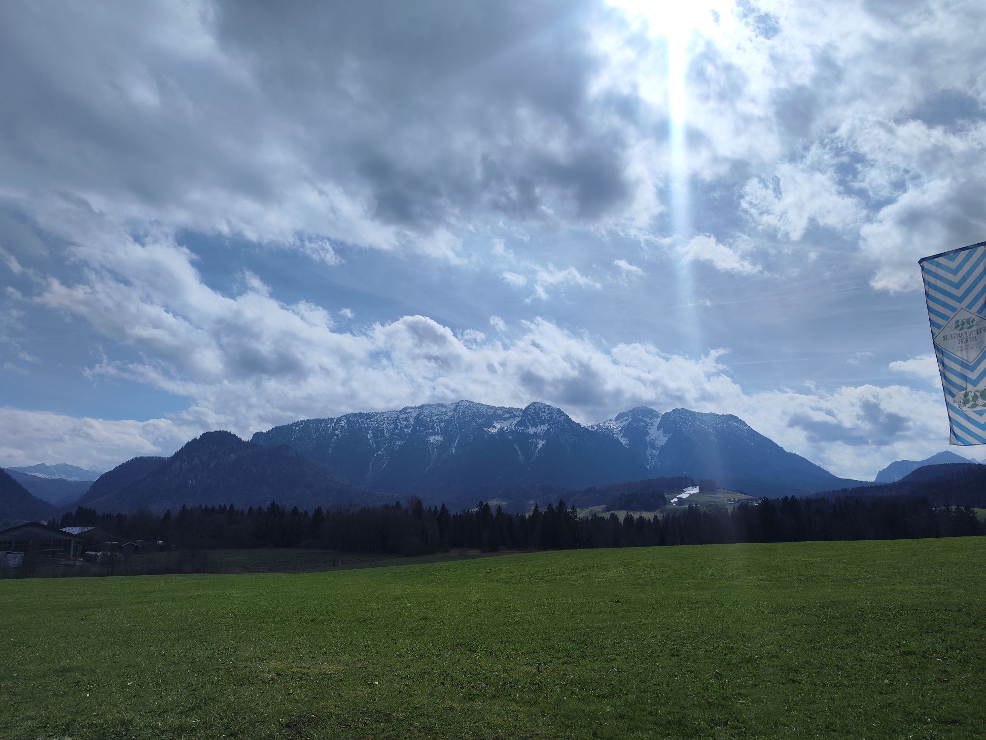

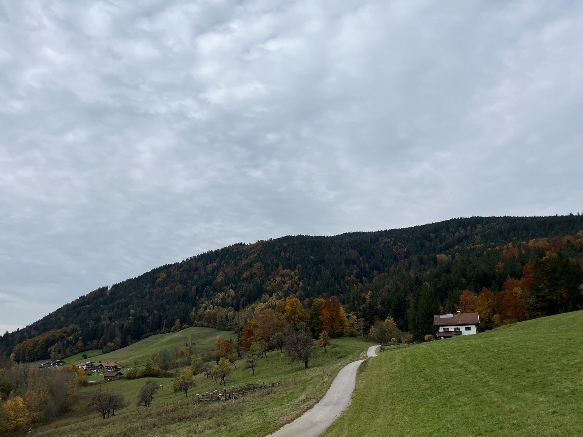
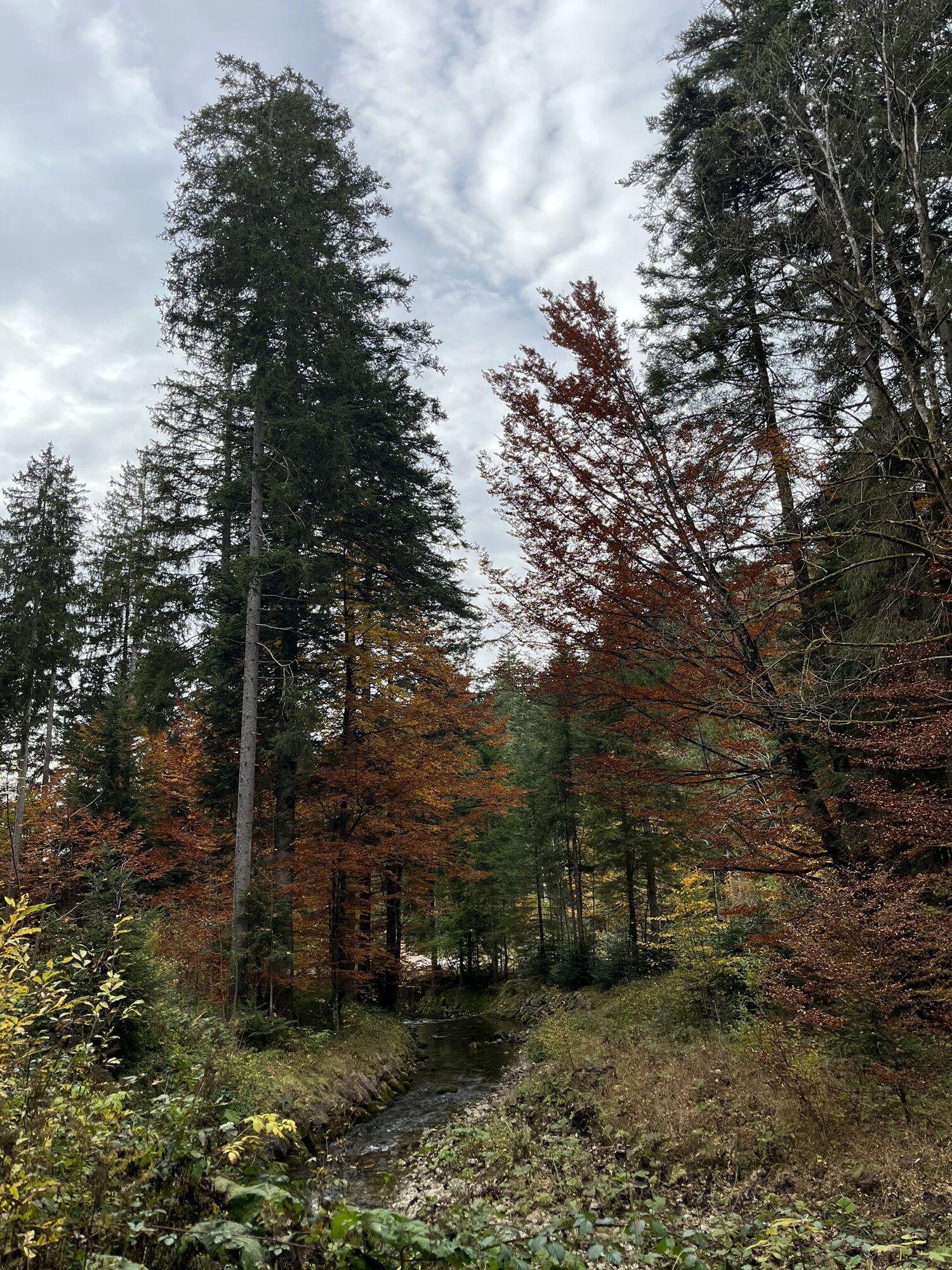


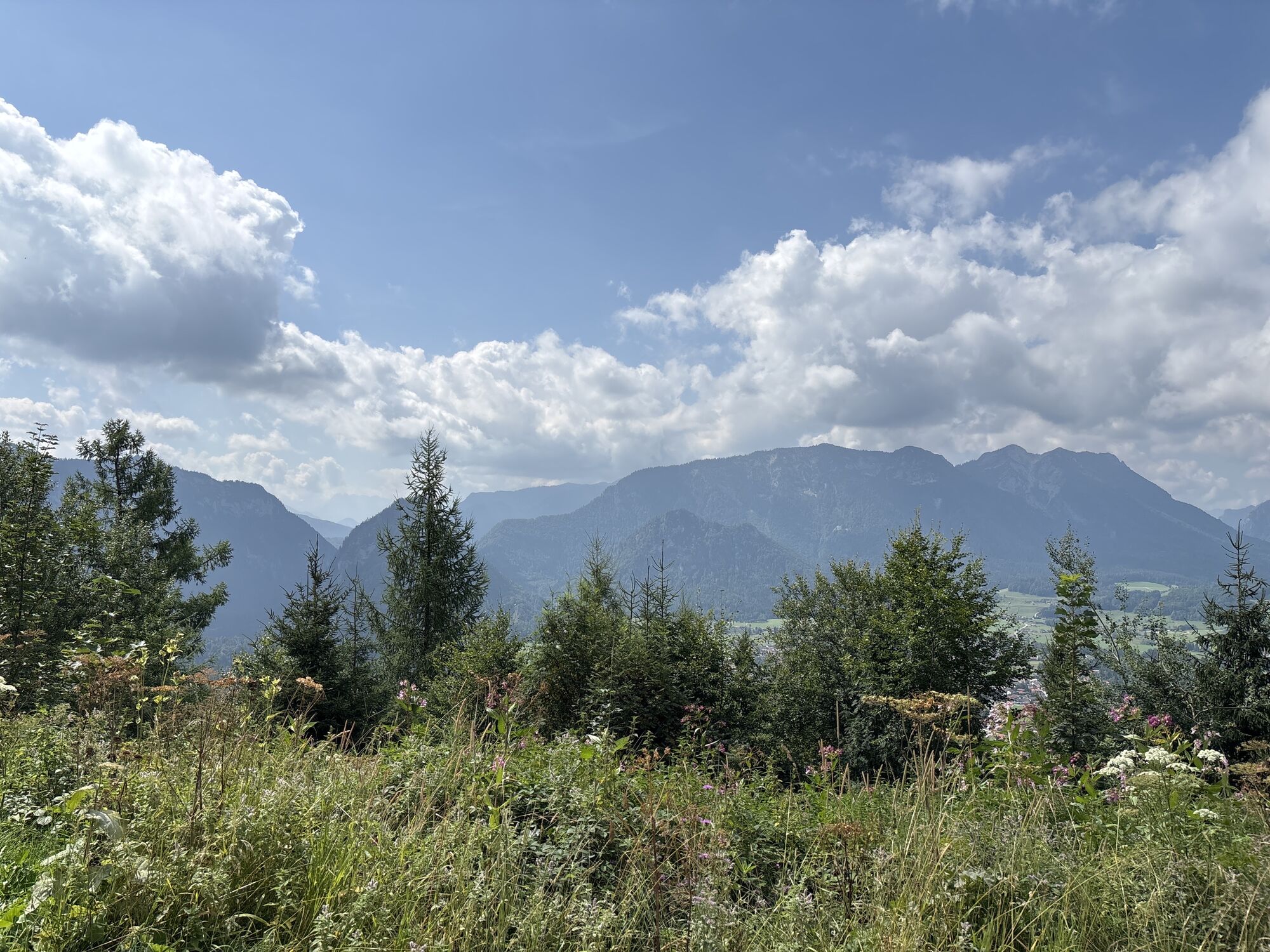
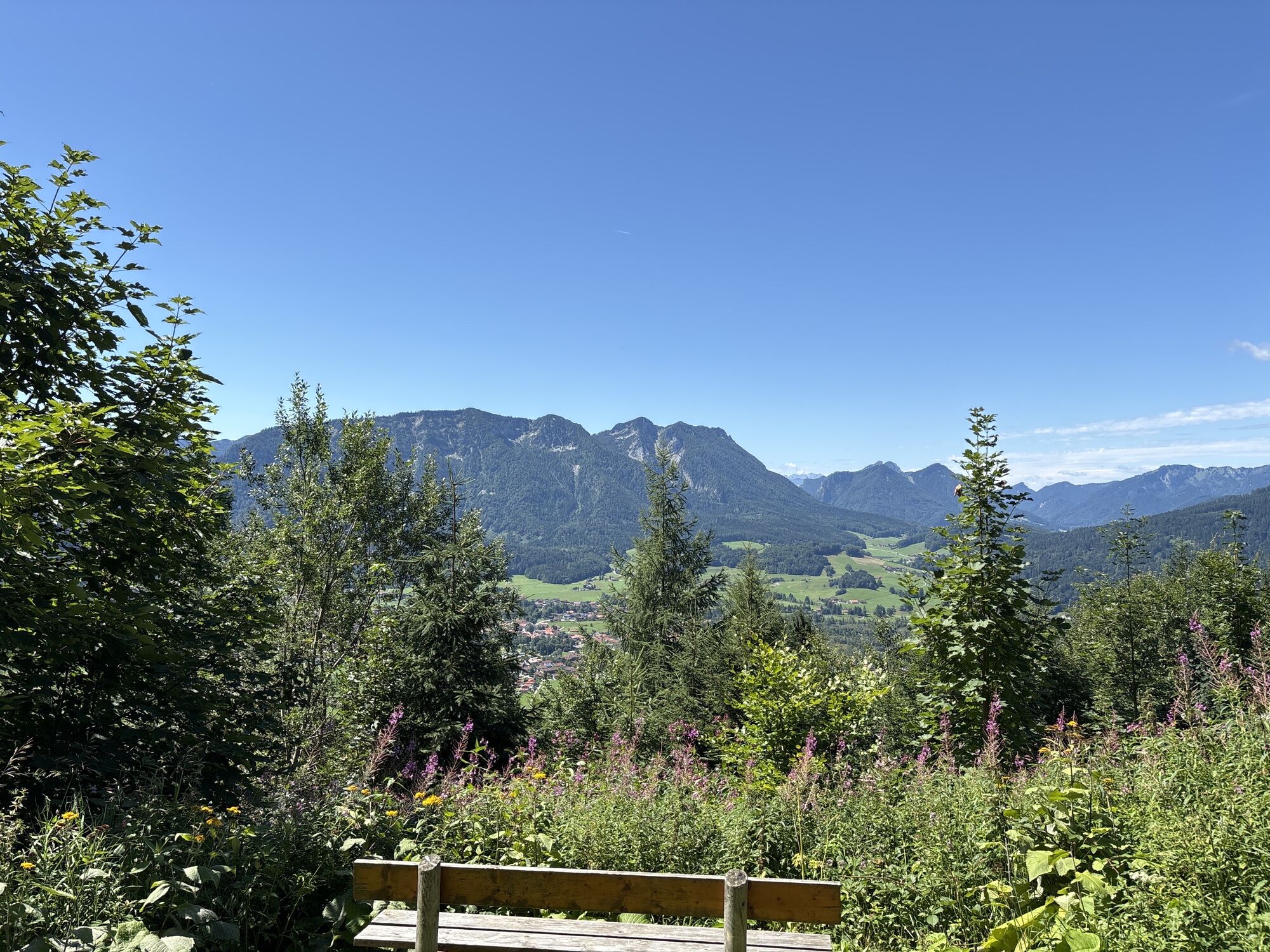
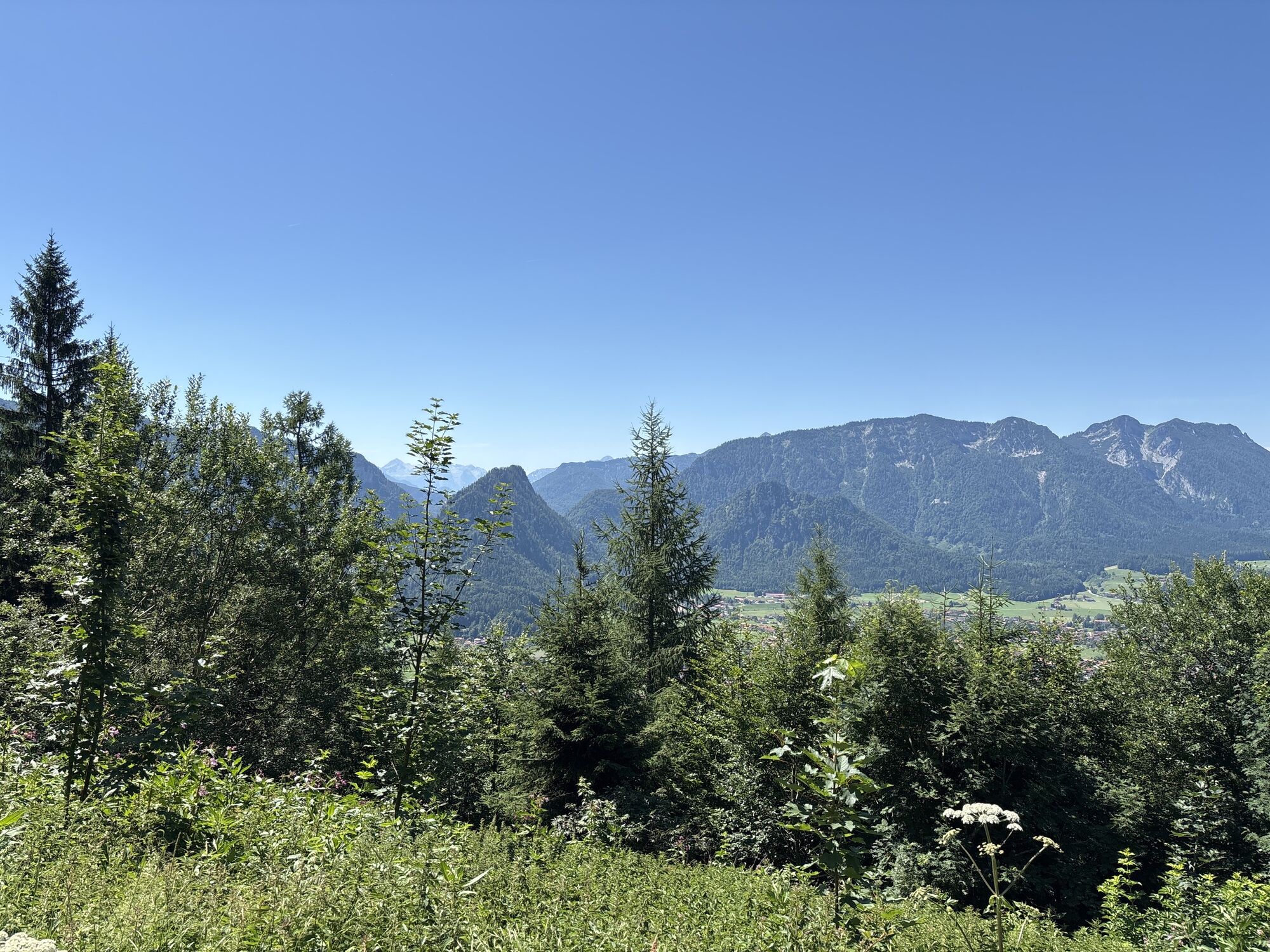
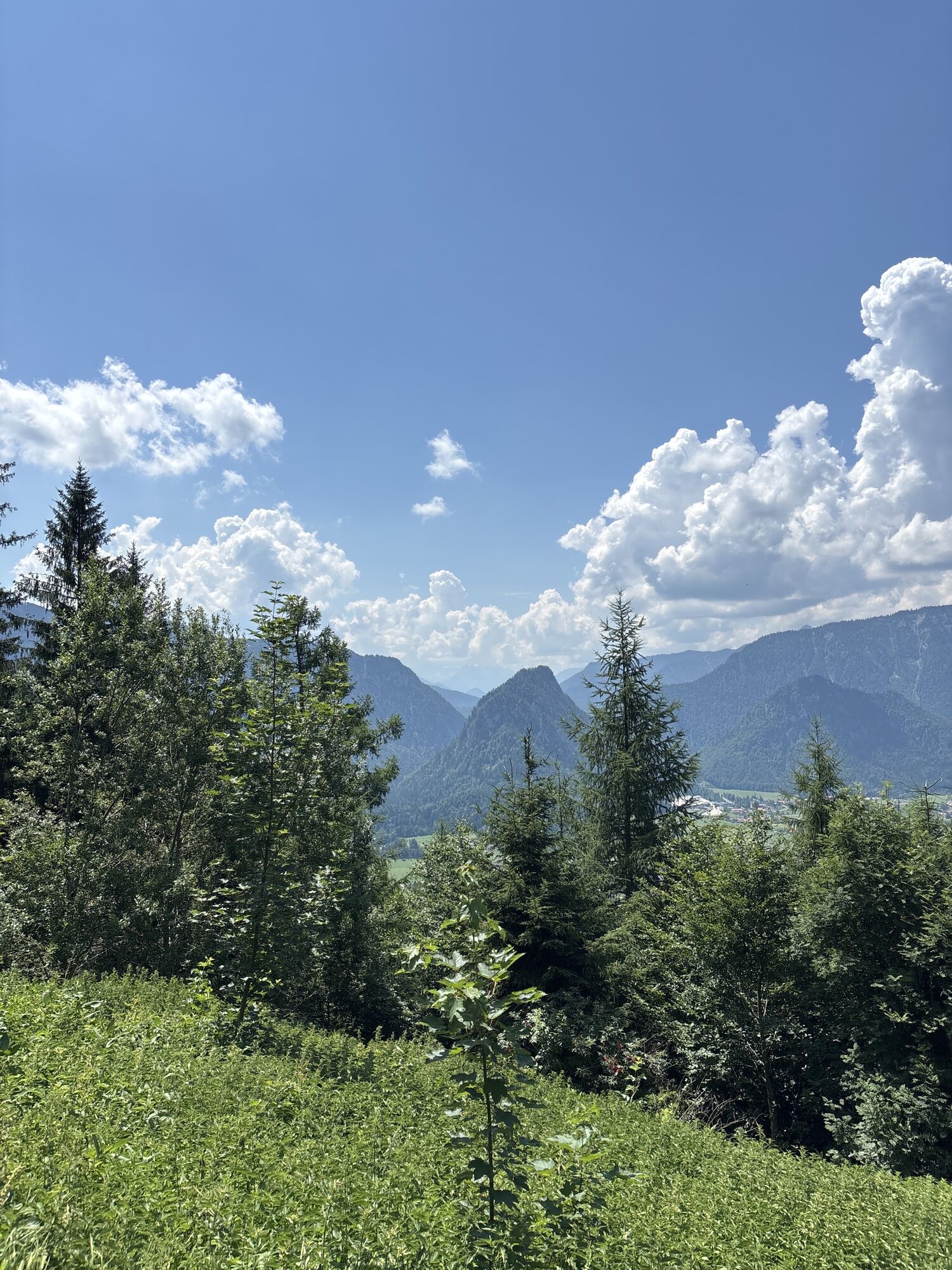
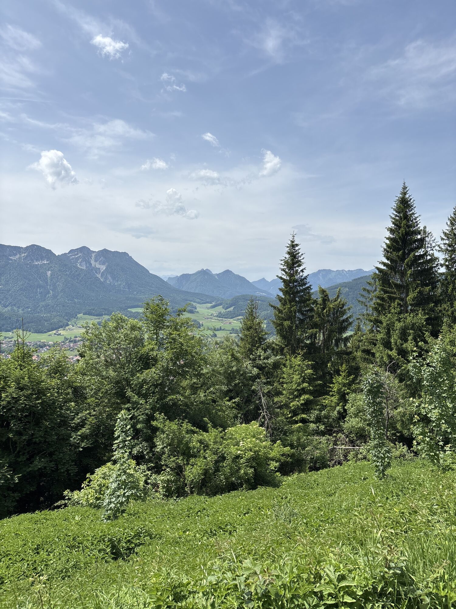
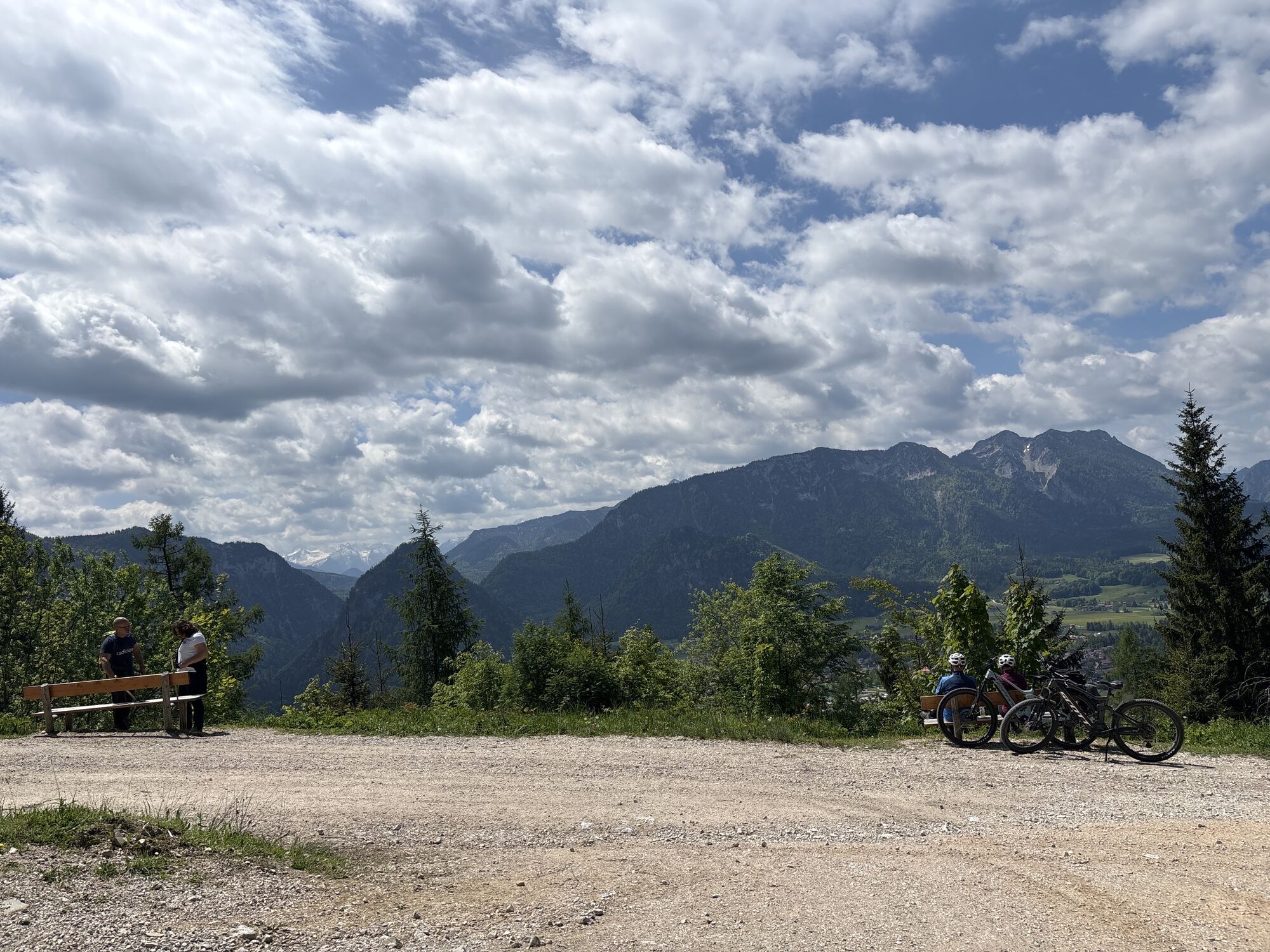
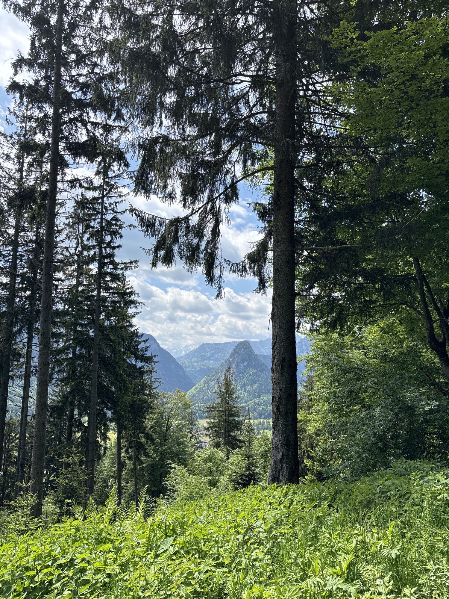
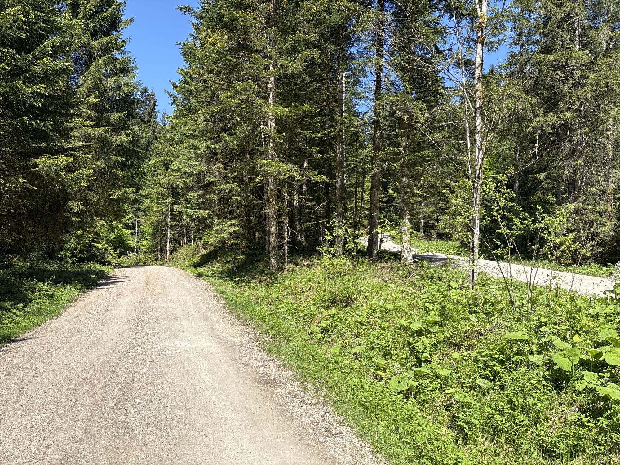
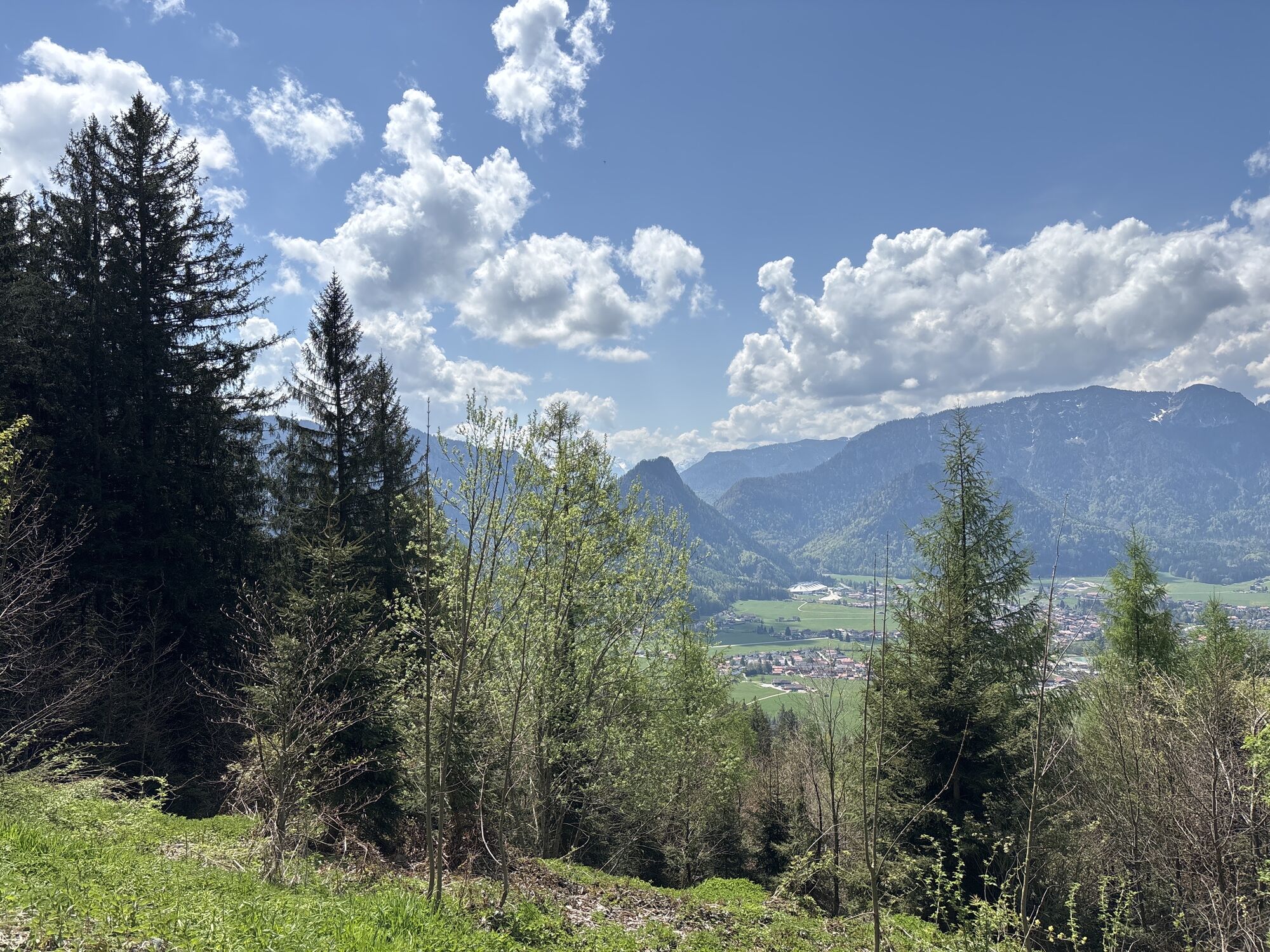
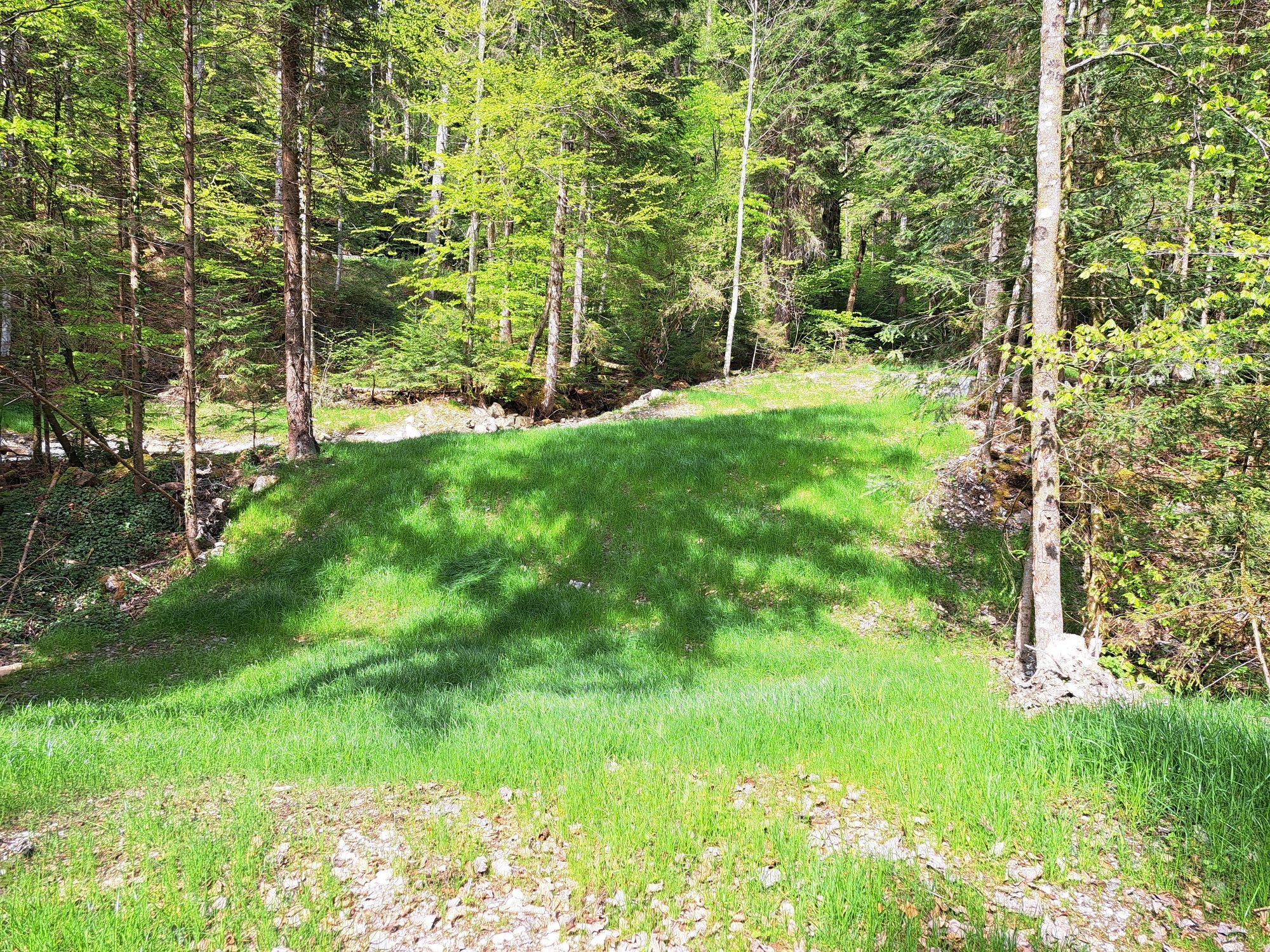
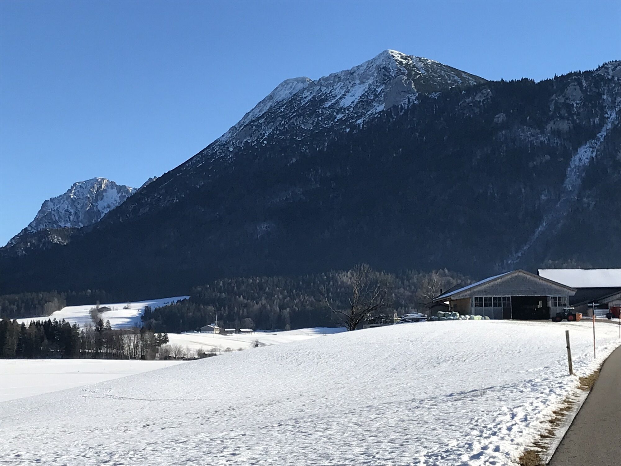
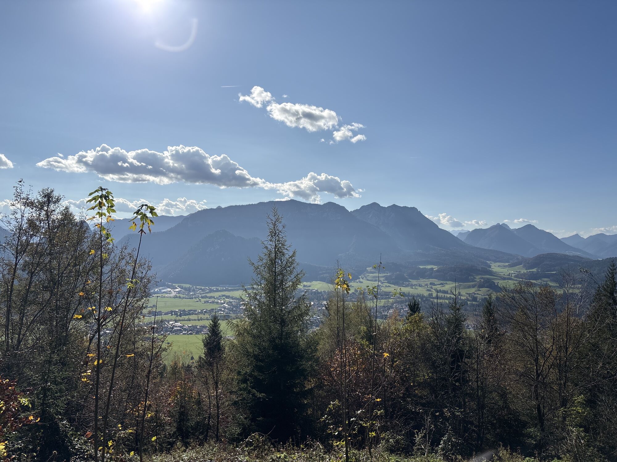
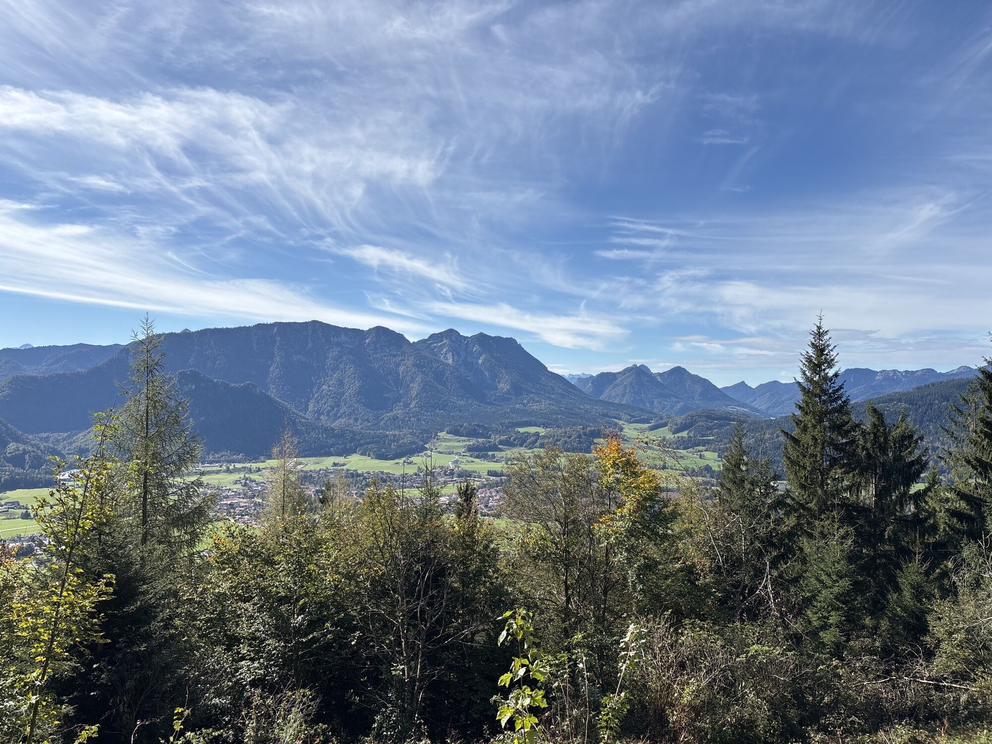
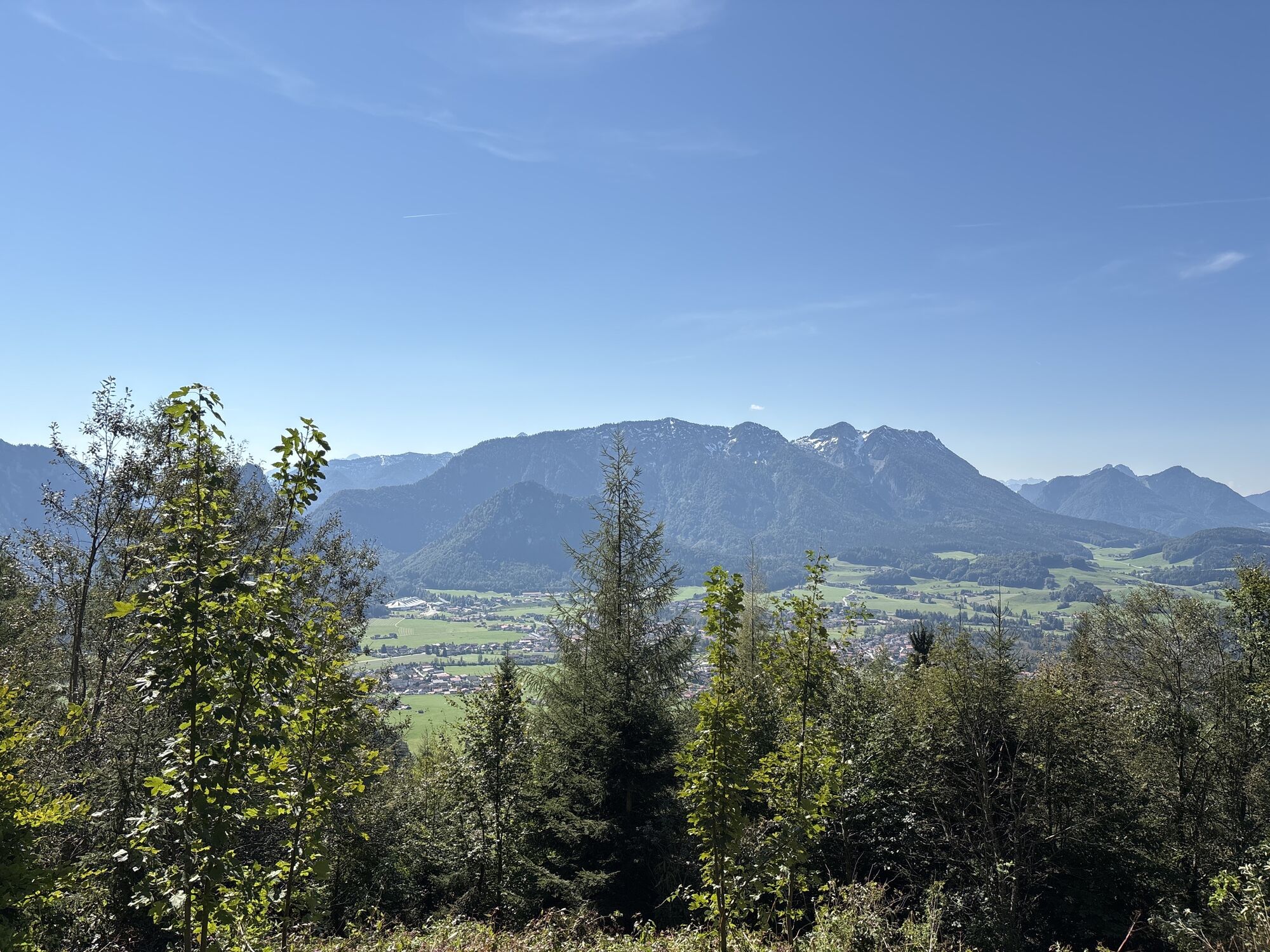
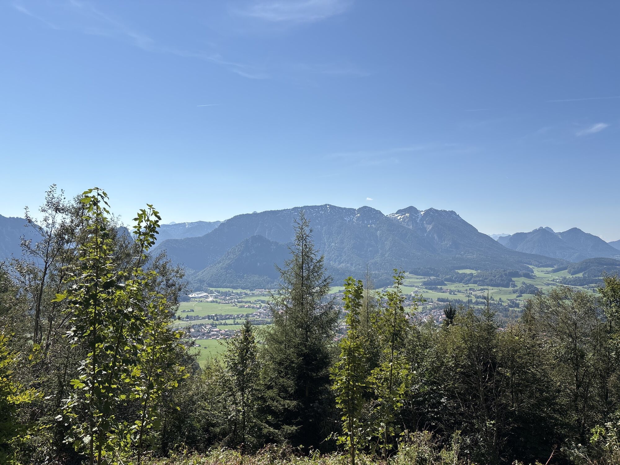
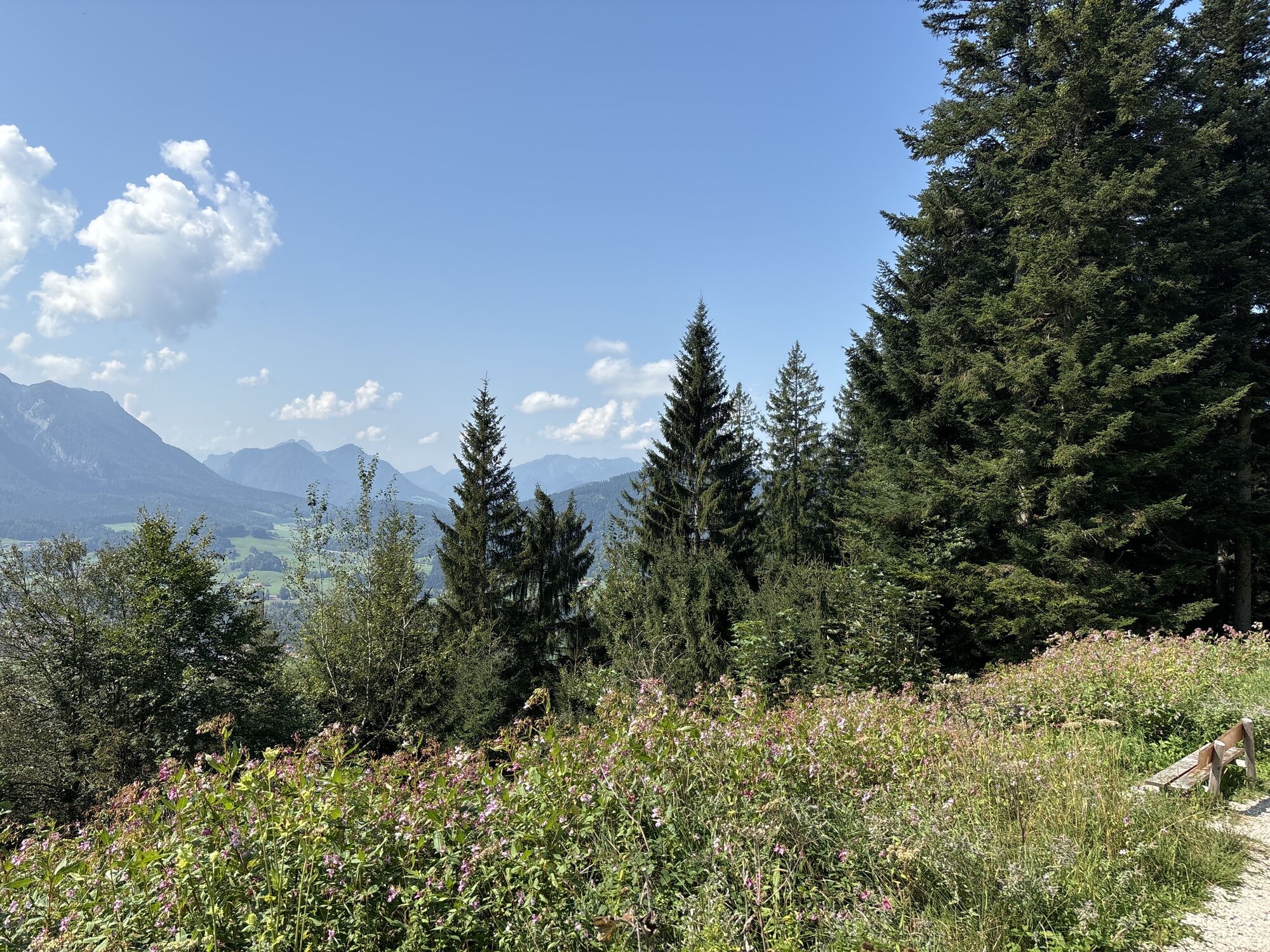
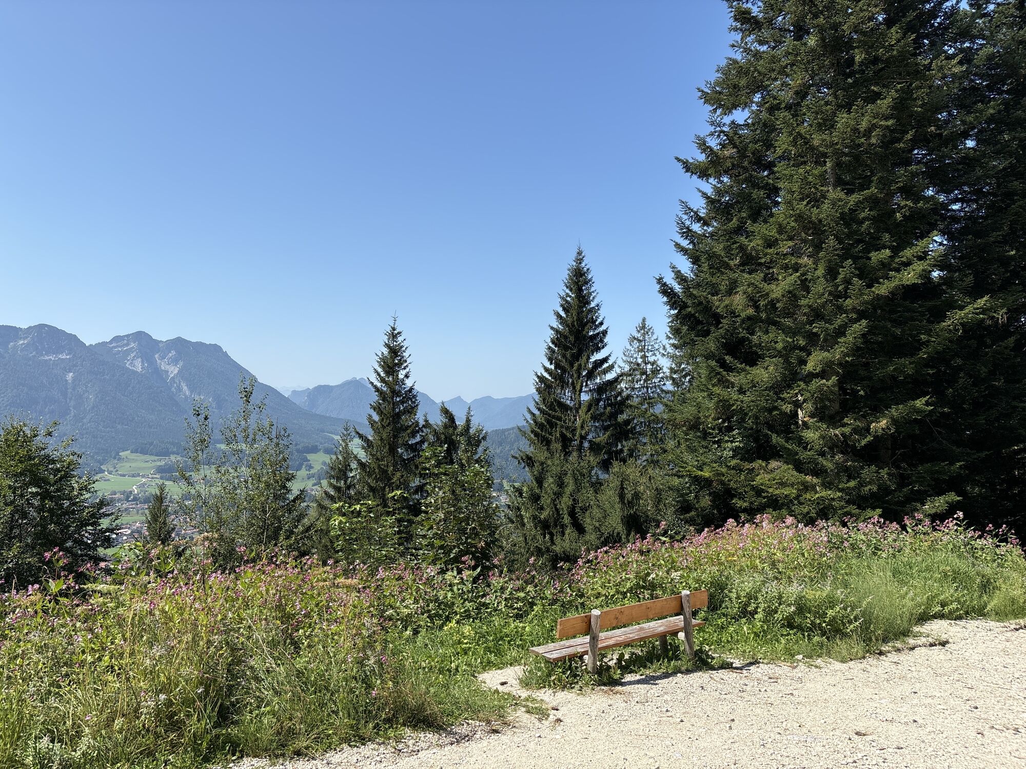
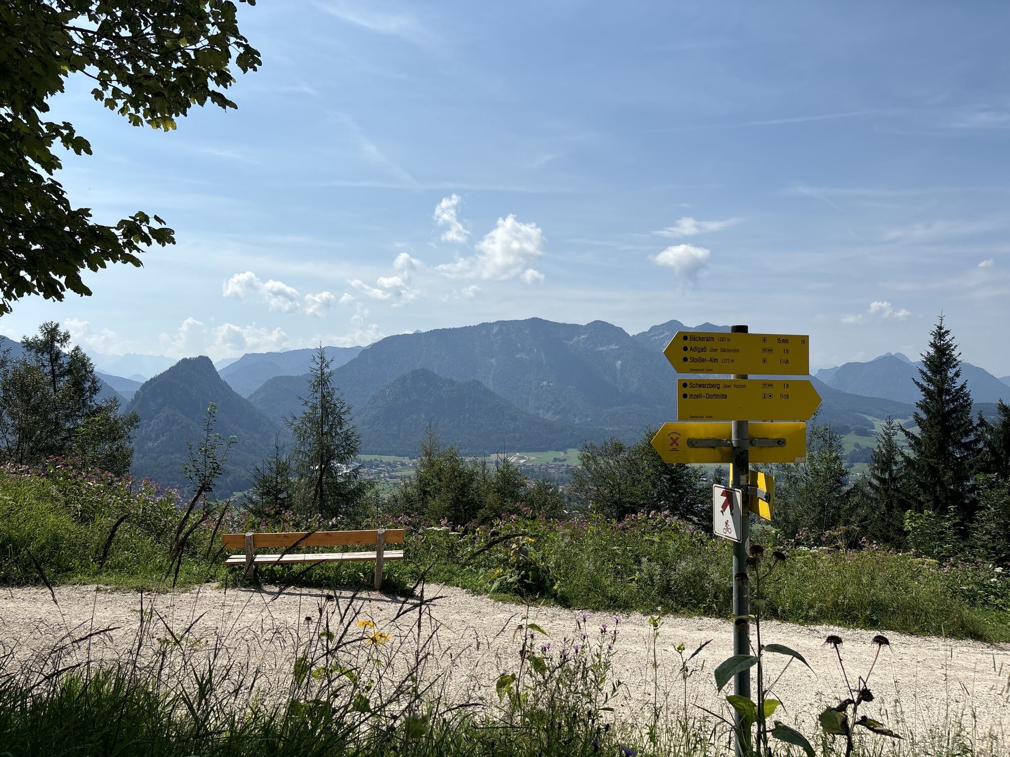
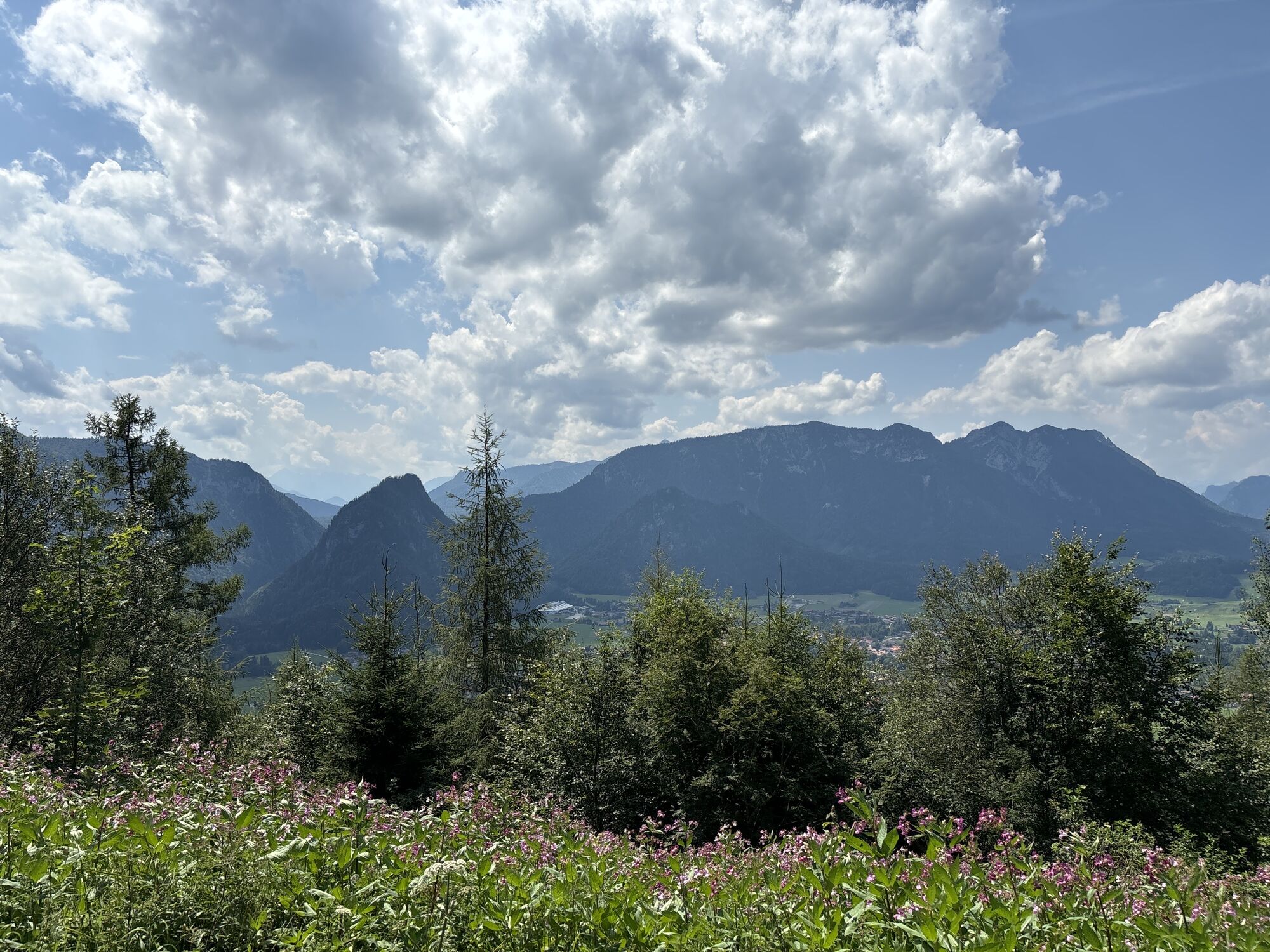
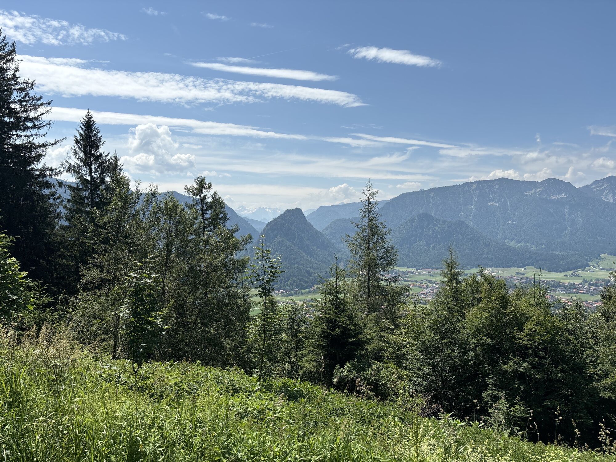
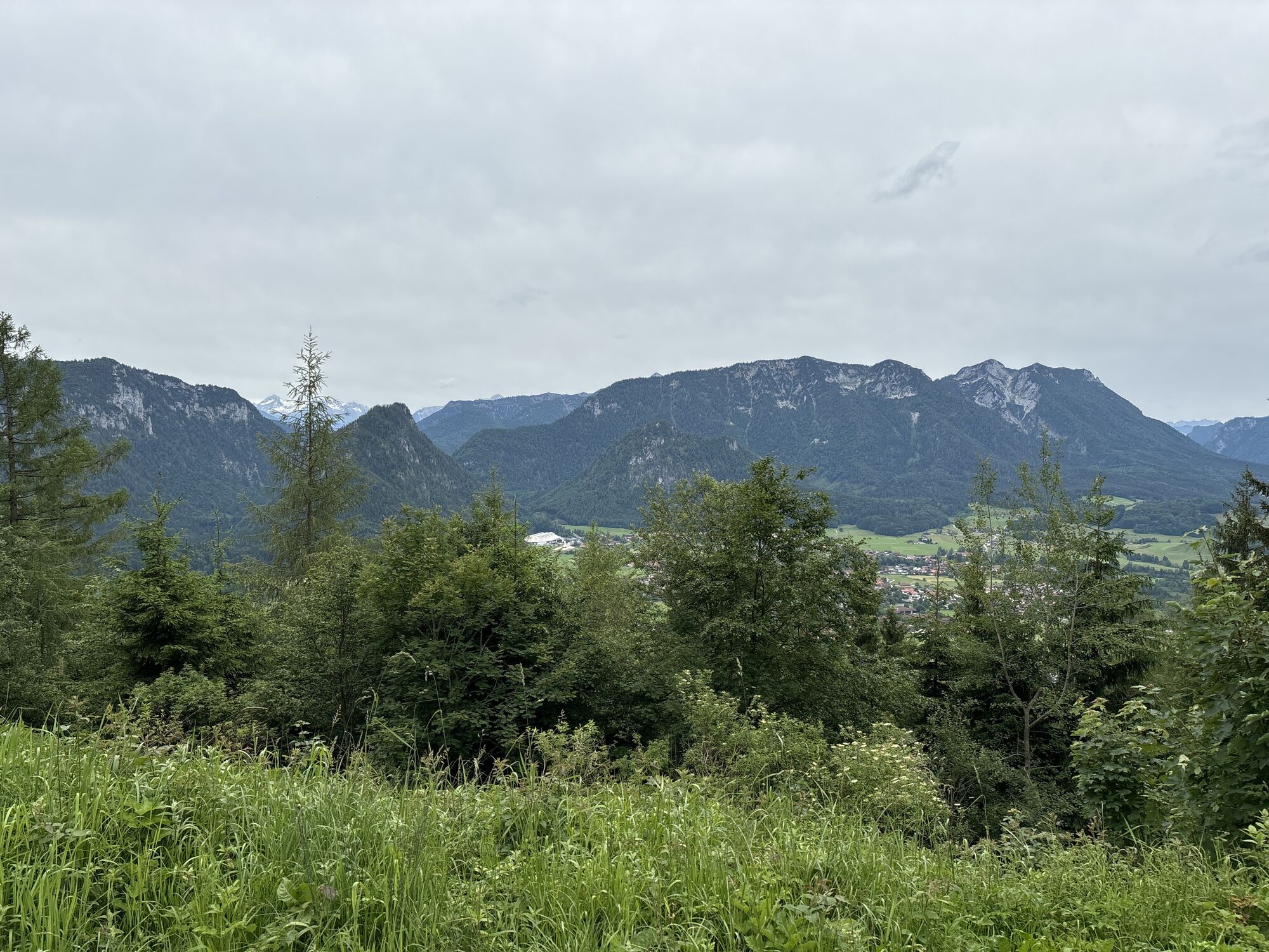
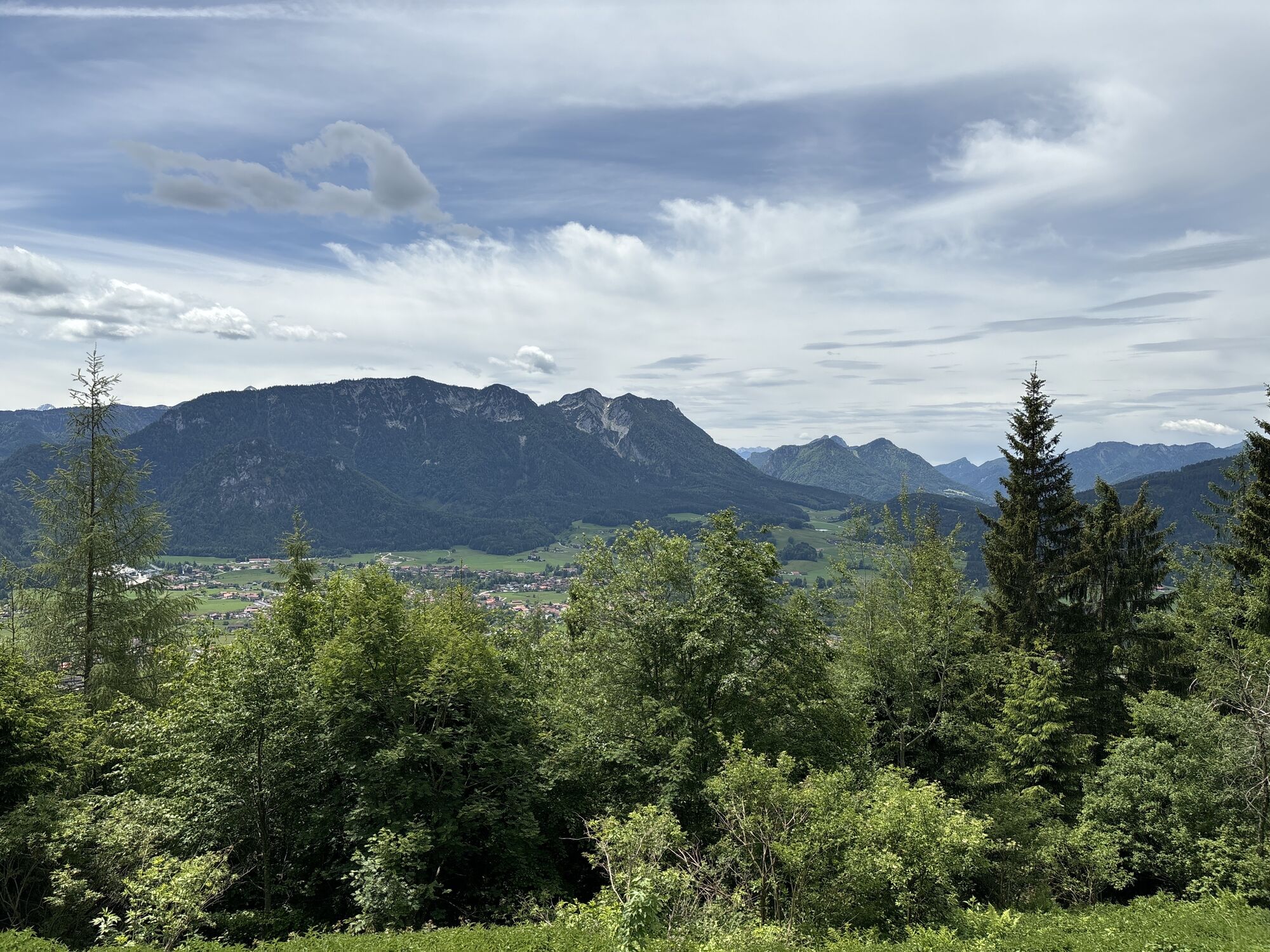
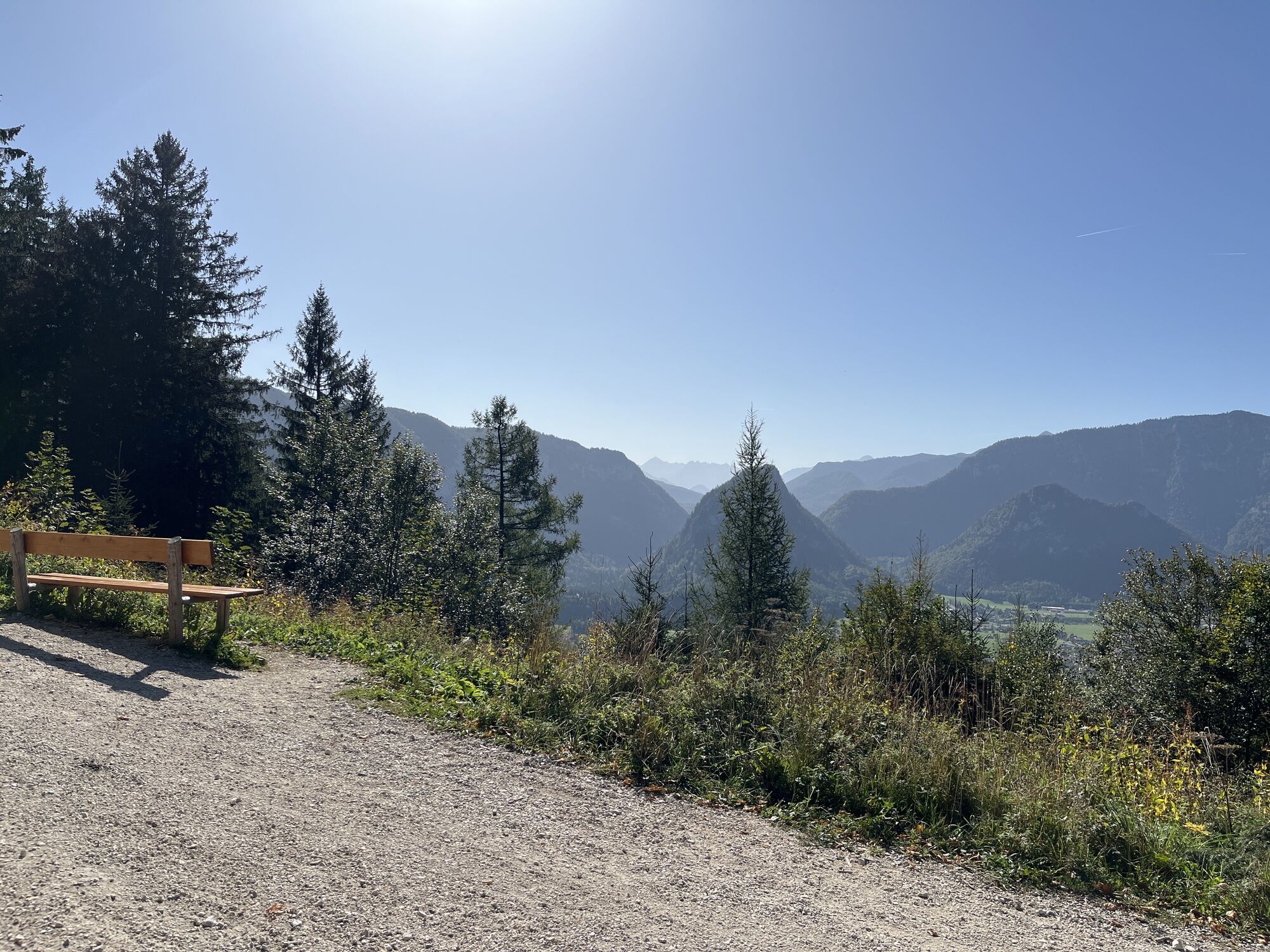
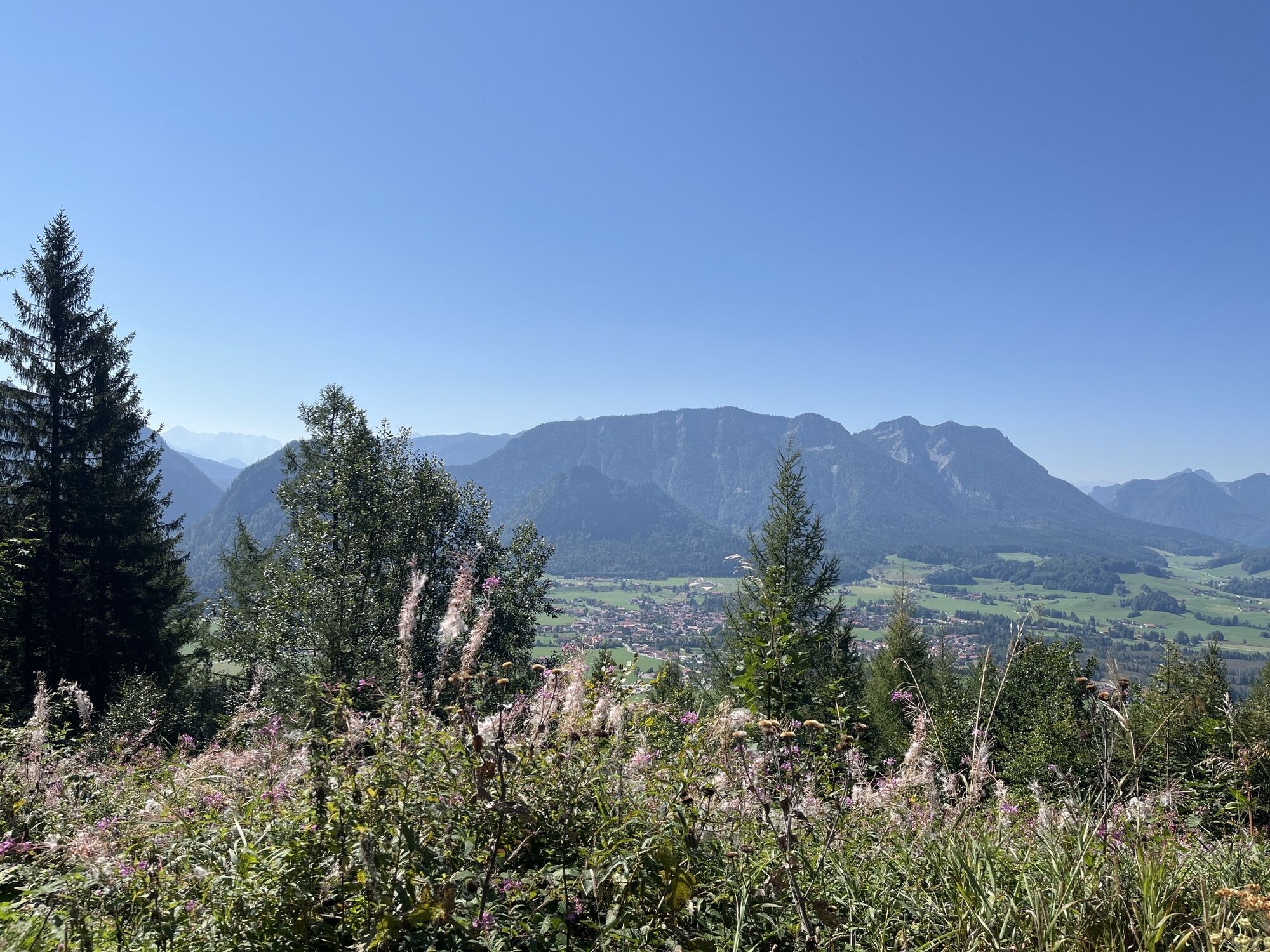
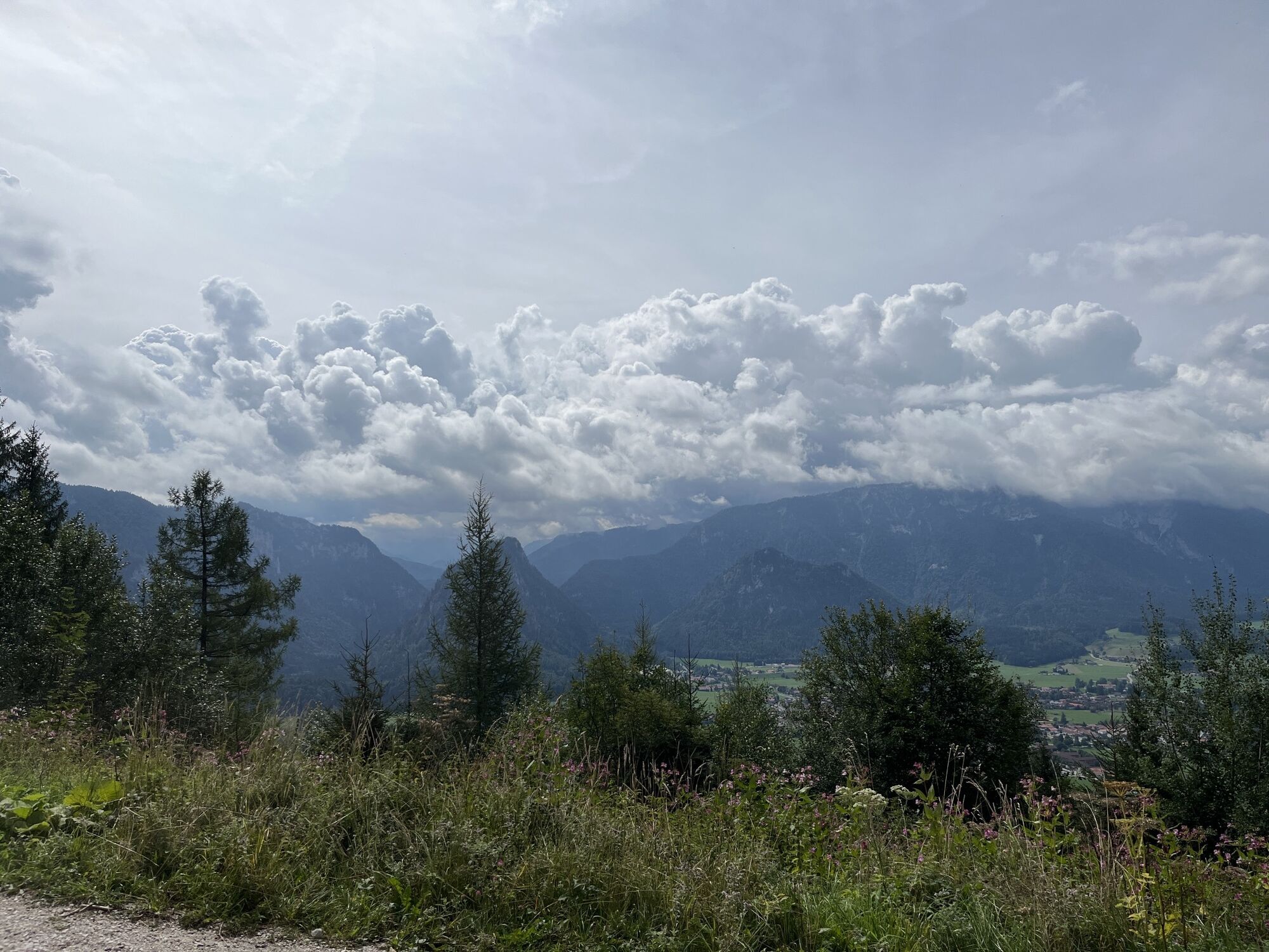
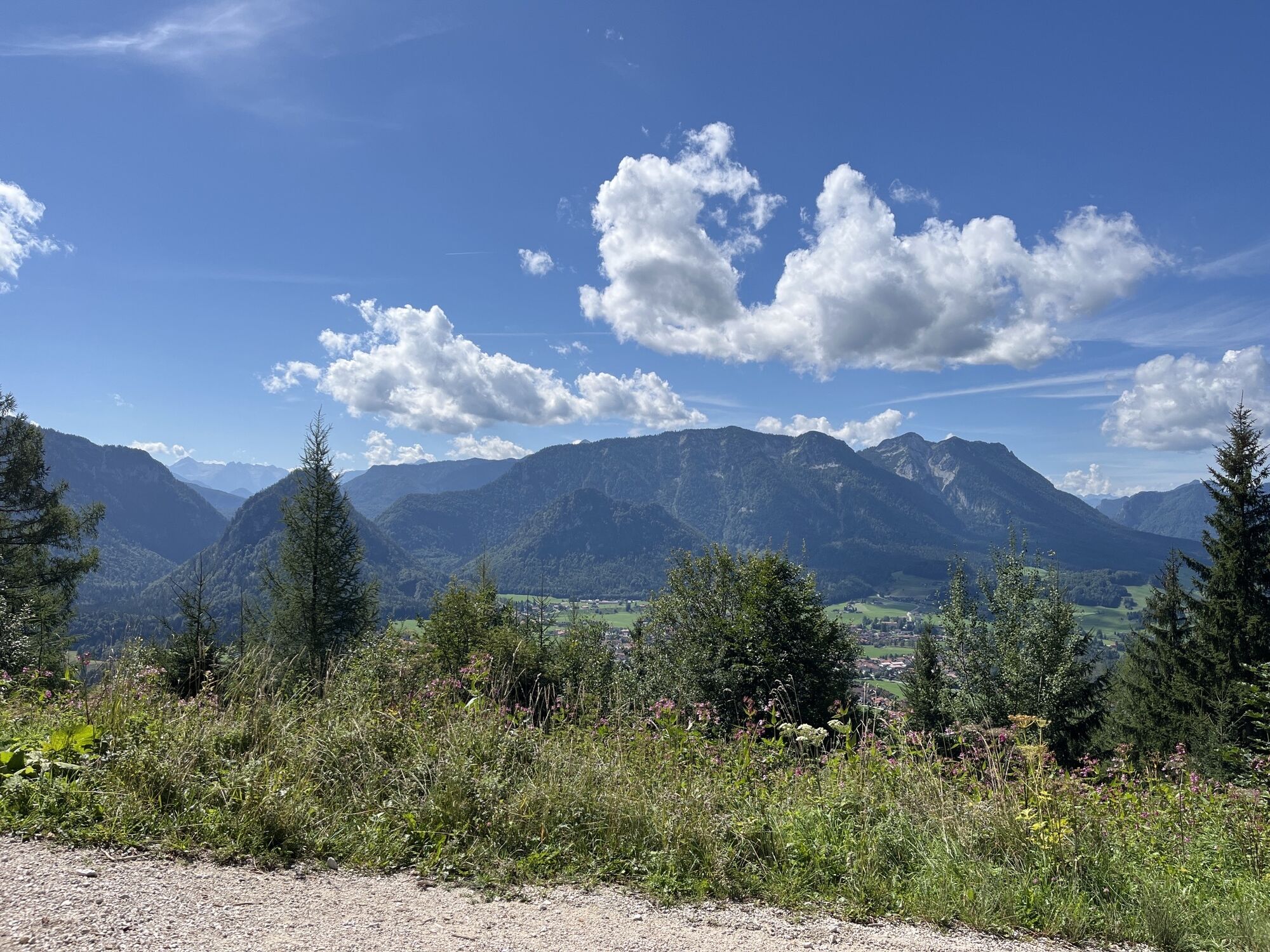
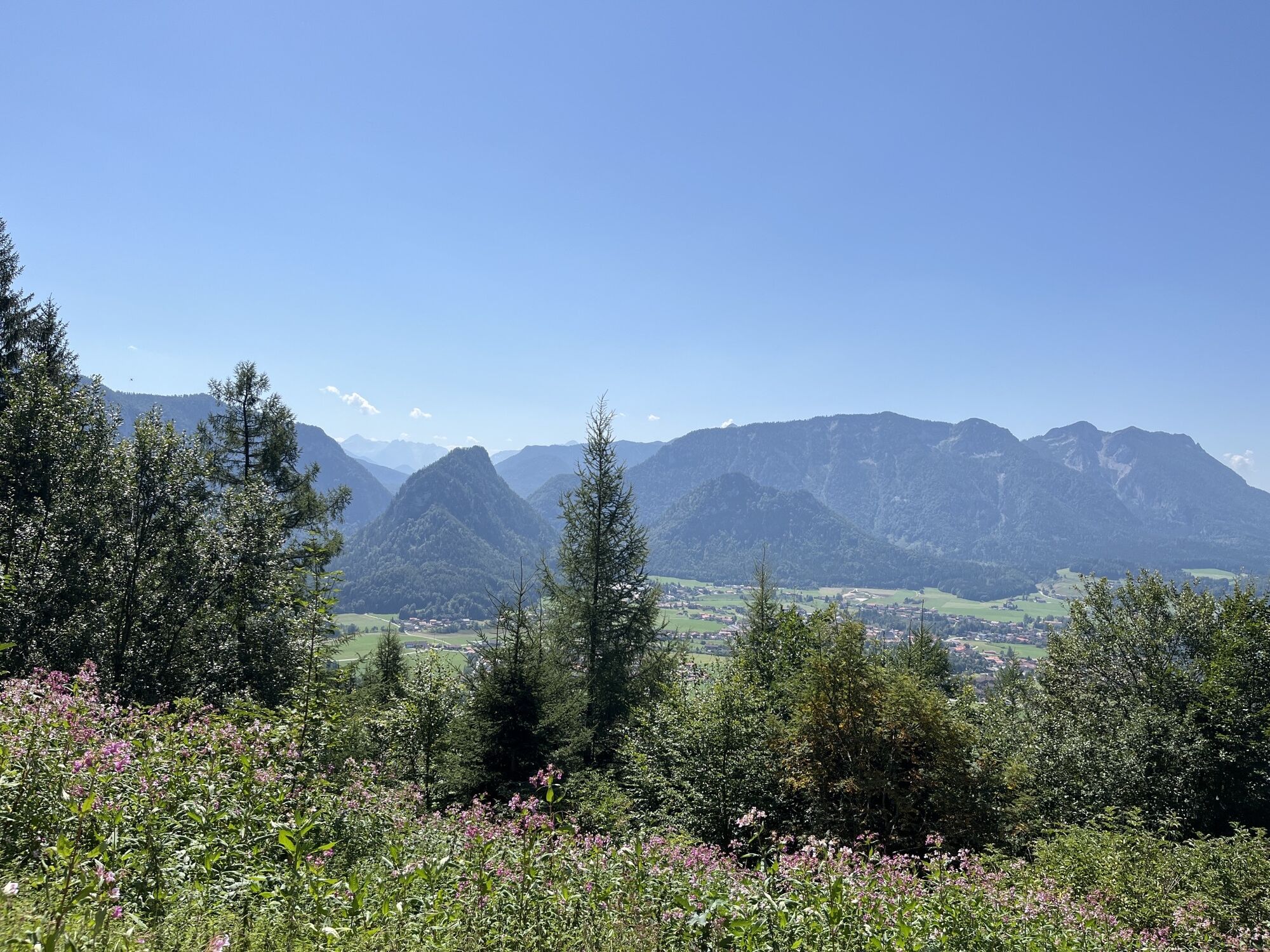
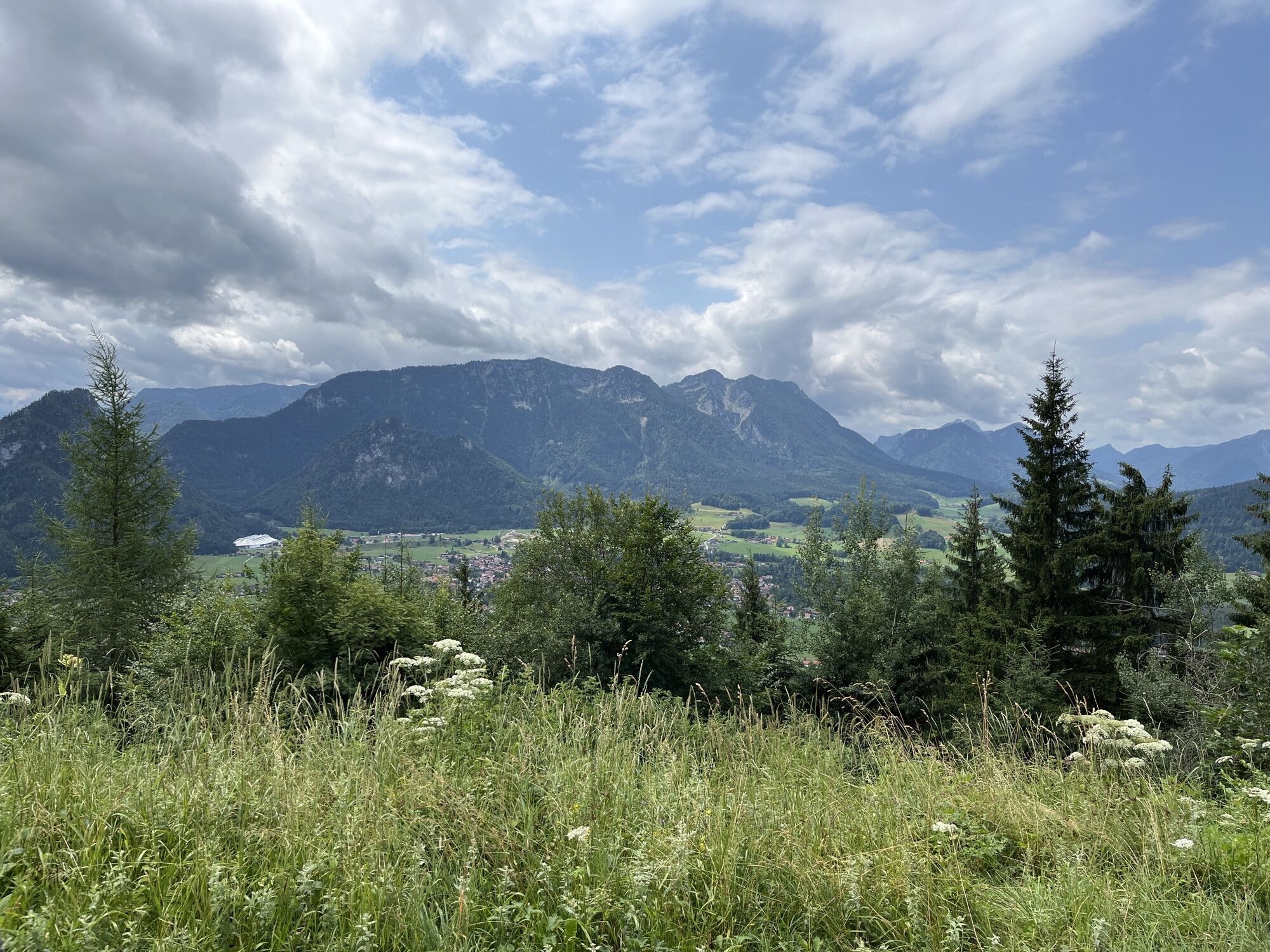
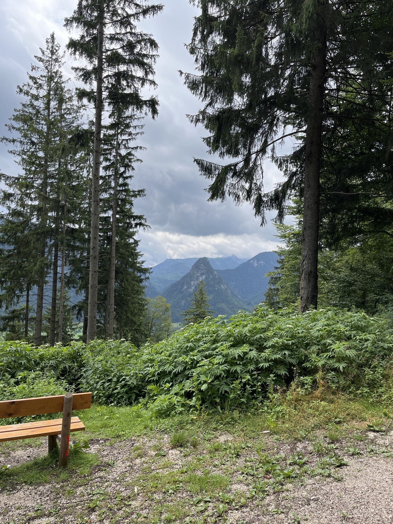
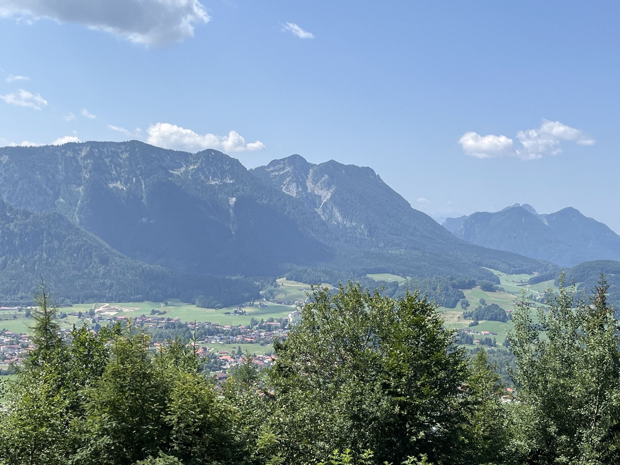
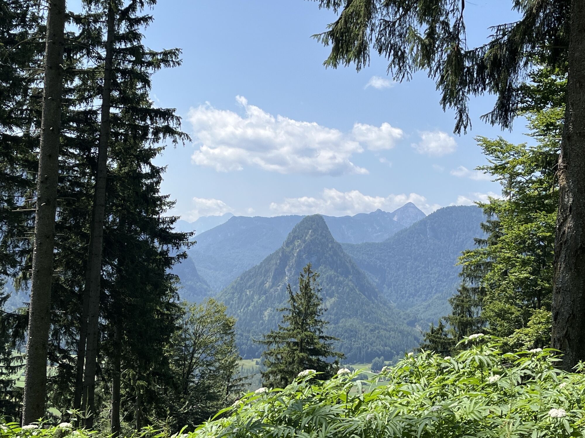
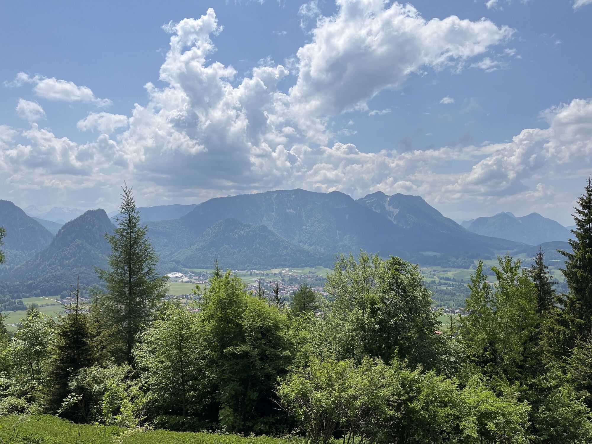
On this tour, you go up to the Bäckeralm on the forest road. The rustic hut is asleep for winter, but the bench by the house wall is still an ideal resting place. Hikers who love silence and can’t get...
On this tour, you go up to the Bäckeralm on the forest road. The rustic hut is asleep for winter, but the bench by the house wall is still an ideal resting place. Hikers who love silence and can’t get enough of the snowy mountain peaks are exactly right on this winter hike.

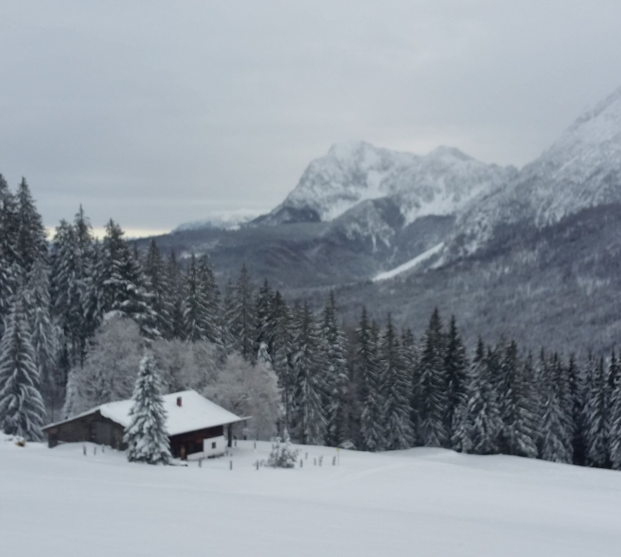
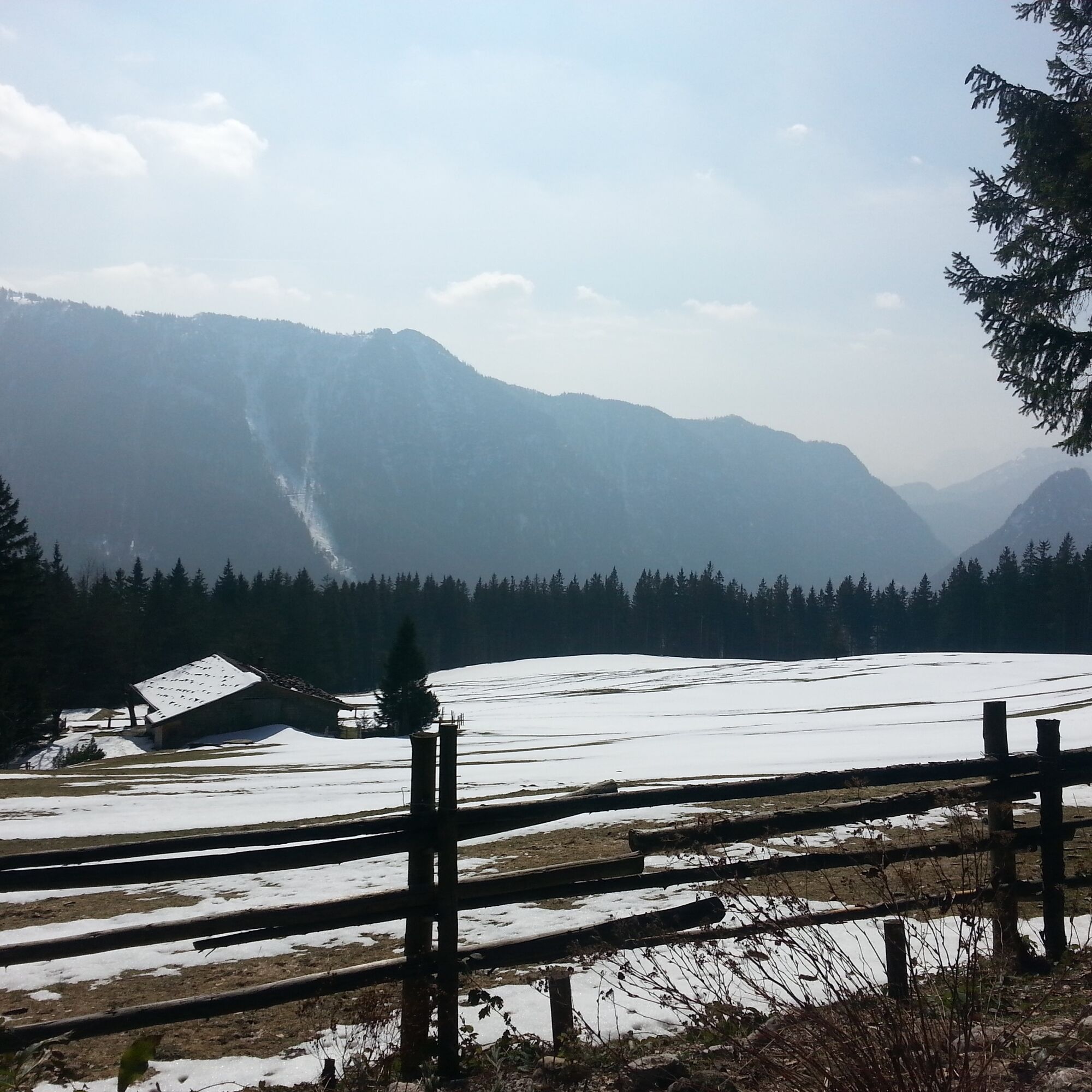
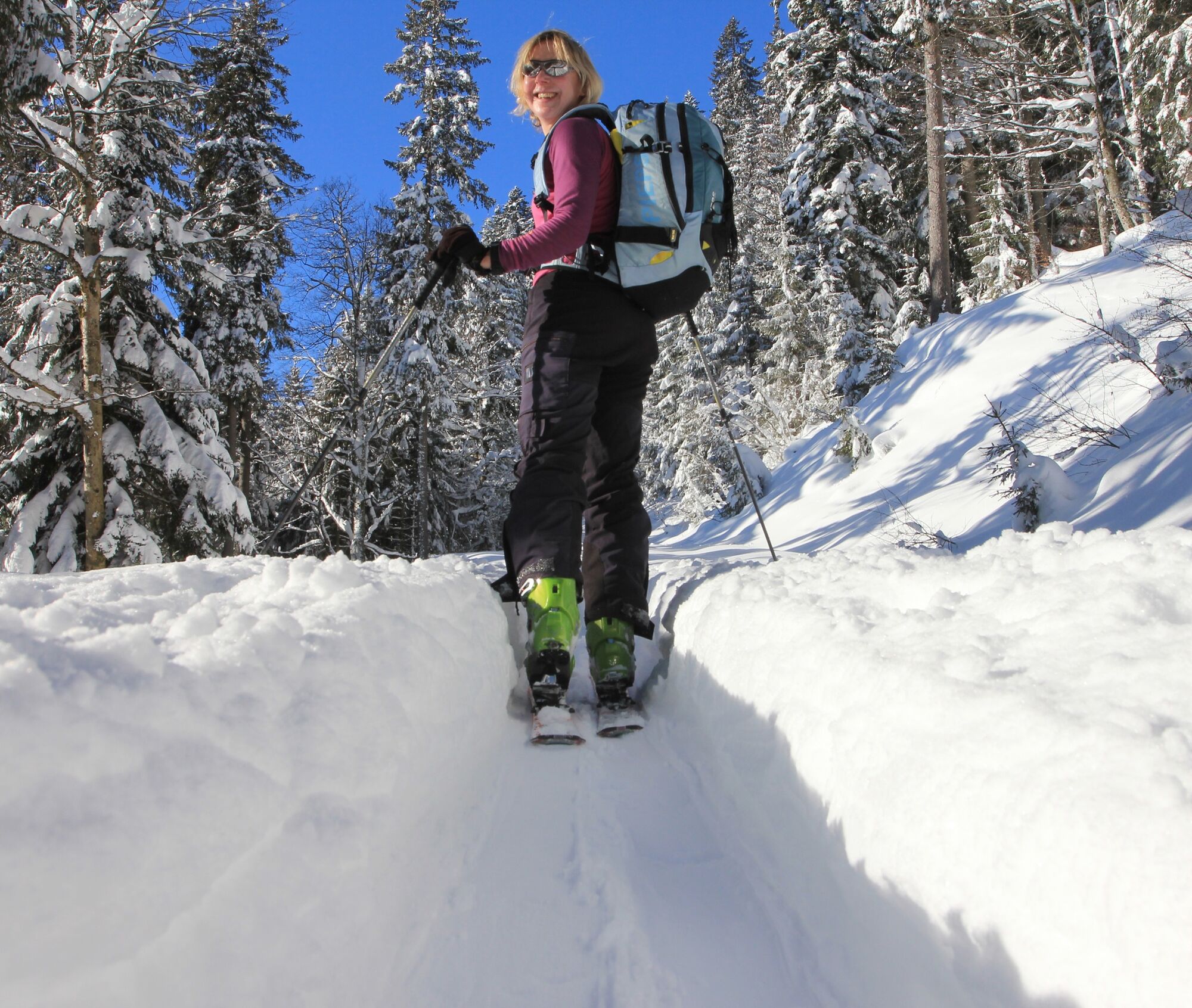

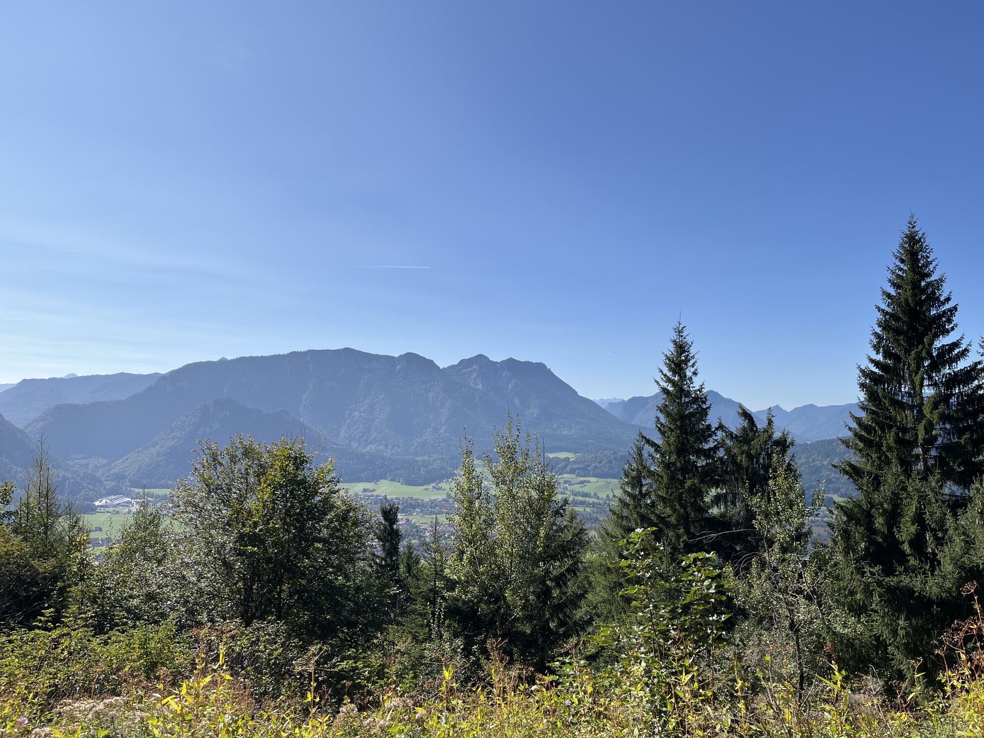
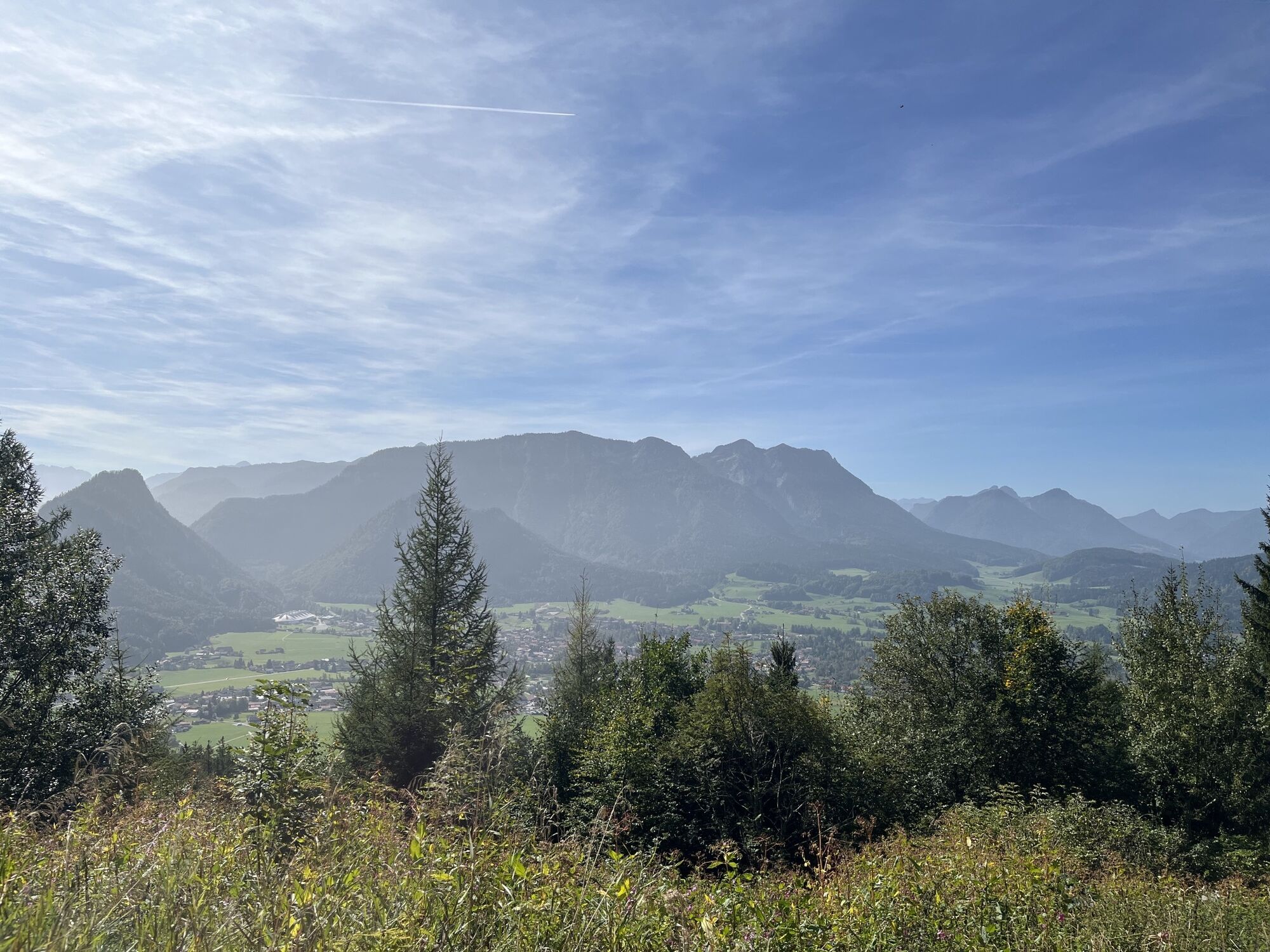
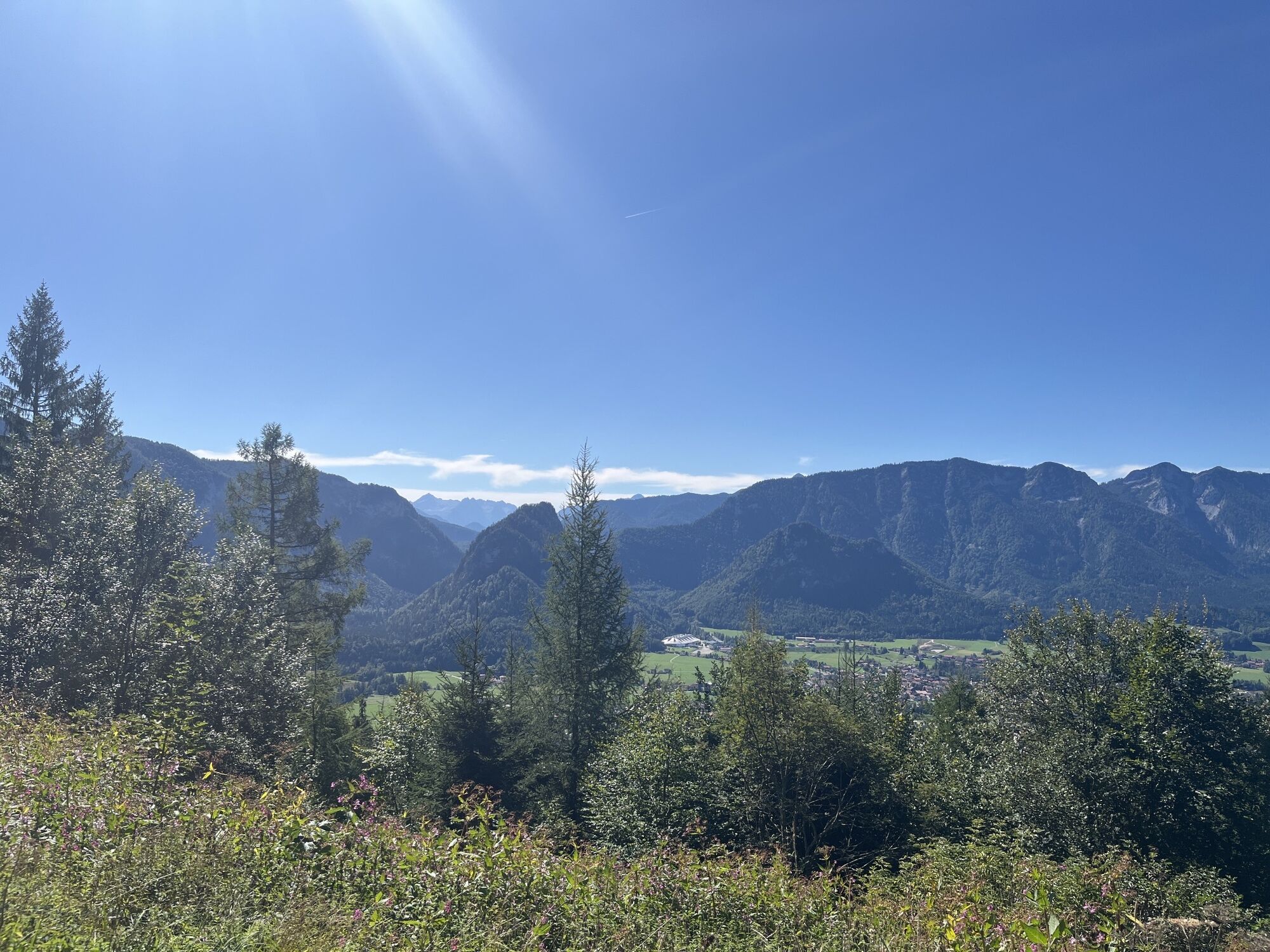
From the hiking parking lot Adlgaß, first head north slightly uphill on the winter hiking trail to the Bäckeralm. Having reached the highest point of the tour, enjoy the view over the winter landscape of Inzell and follow the path in the snow back down into the valley.
Then, shortly before Holzer, reach the road, follow it to the federal road and then turn left. Through the settlements of Brenner and Teisenberg, reach Eck and cross the Großwaldbach there. After a few more meters, you arrive at Einsiedl, where you keep left and soon get back to the road leading to the Forsthaus Adlgaß.
Day hiking backpack (approx. 20 liters) with rain cover, comfortable and waterproof winter hiking shoes or sturdy hiking boots, possibly crampons and gaiters, warm and weatherproof clothing in a layering system, hat/headband, scarf, gloves, sun and rain protection, provisions and drinking water, thermos with hot beverage, first aid kit, pocket knife, mobile phone, possibly headlamp, map material, possibly telescopic poles
Winter hiking boots must above all be well insulated and have a non-slip sole. They should also provide good support for the foot while allowing freedom of movement in the right places. The shoe store “Gams” in Inzell specializes in sports and mountain sports and offers competent and expert advice.
Via the Munich - Salzburg motorway (A8), exit 112 Inzell at km 99 - Traunstein/Siegsdorf. Via the federal road 306 through the charming Chiemgau landscape, 11 km to Inzell. In town take the exit towards Breitmoos and follow the road to the Forsthaus Adlgaß.
There is a parking lot opposite the forester's lodge
3
We carry responsibility for nature. If animals and plants could speak, they would say thank you. Thanks to all hikers who always stay on the marked trails and avoid shortcuts. It goes without saying that waste is not simply left behind and protected areas are respected.
When hiking, everyone has their own pace and preferences, so the hiking routes in Inzell can be individually combined or shortened. Map material is also available at the guest information. And if you do get out of breath on the way, there is still the village line bus.

 Pridobite vpogled Vedno v živo na mestu z več kot 9.500 spletnimi kamerami. bergfex Kot uporabnik Pro si lahko zdaj ogledate ustrezne spletne kamere za številne izlete v aplikaciji izleti iz. Tako si lahko neposredno ogledate trenutne razmere.

Priljubljeni izleti v okolici
- 4.4
Staufen-Bergtour
srednjaPohodništvo 14.1 km - 4.5
Alpgarten-Rundweg
Pohodništvo 2.93 km - 4.9
Dötzenkopf Rundweg
srednjaPohodništvo 6.95 km - 4.9
Frillensee round from Adlgaß
Pohodništvo 5.82 km - 4.7
Pidinger Klettersteig mit Umweg im Abstieg
težkoVia ferrata 15.0 km - 4.7
Jochberg - Zwiesel
svetlobaPohodništvo 4.12 km - 4.4
Unternberg
svetlobaPohodništvo 9.20 km - 4.4
Hochstaufen
težkoPohodništvo 7.59 km - 3.3
Zwiesel-Runde
Pohodništvo 11.0 km - 4.8
Hochfelln ab Glockenschmiede und zurück über Farnbödenalmen
srednjaPohodništvo 13.1 km
Pohodništvo in sledenje


Ne zamudite ponudb in navdiha za naslednje počitnice
Vaš e-poštni naslov je bil dodan na poštni seznam.





