







Schwärzenbach Route

Stopnja težavnosti: 2
A beautiful route – this time not along the lake shore, but first along the Mangfall towards Louisenthal. Soon a path branches off to the right and it goes uphill towards "Schafstatt." Continuing over...
A beautiful route – this time not along the lake shore, but first along the Mangfall towards Louisenthal. Soon a path branches off to the right and it goes uphill towards "Schafstatt." Continuing over the former Schärzenbach estate, you soon reach the main road, which we cross. The route back to the starting point leads over "Niemandsbichl" and the district "Gasse."

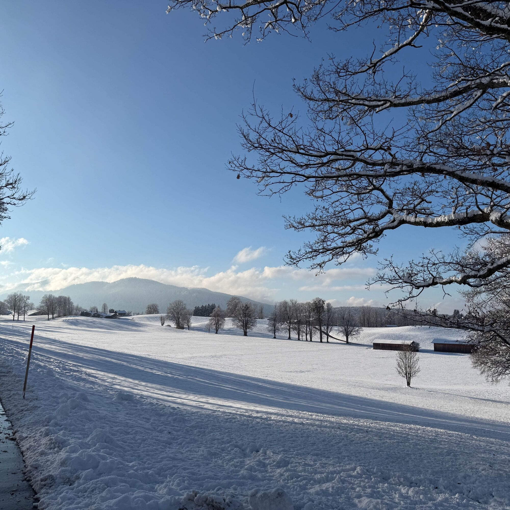
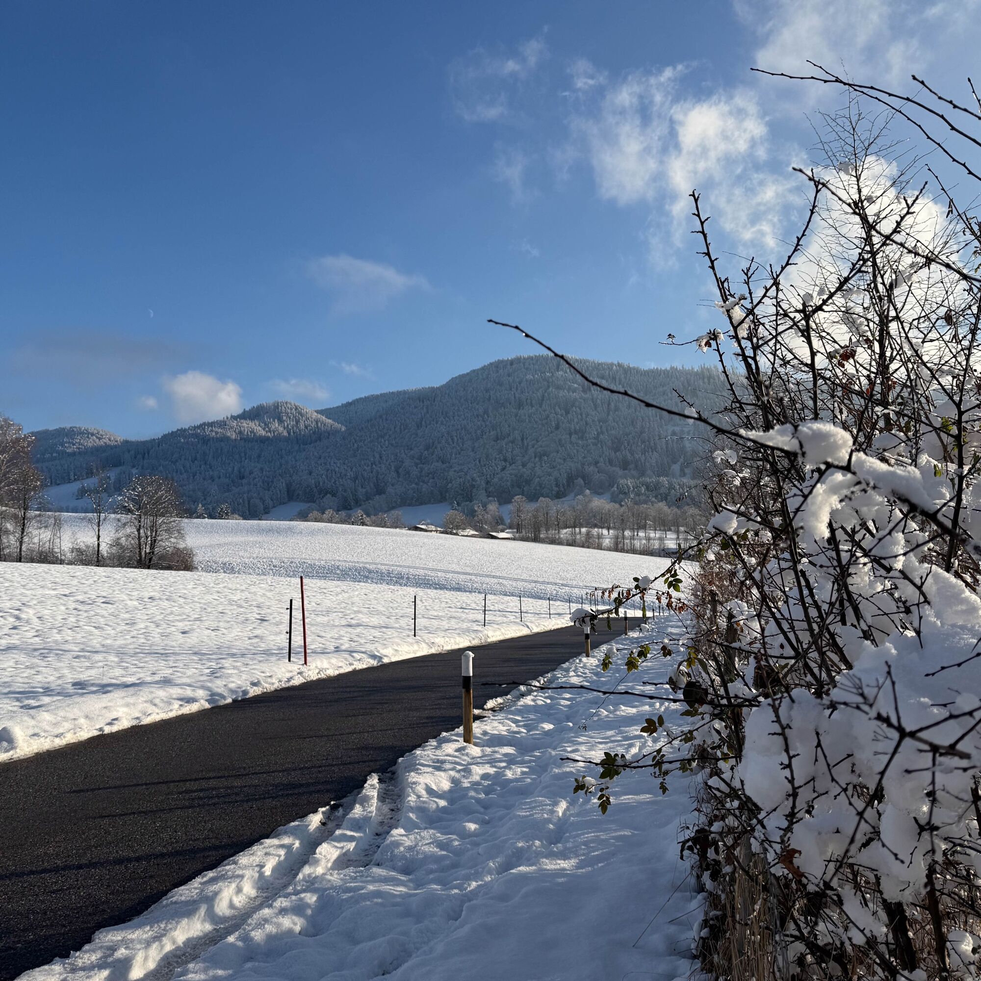
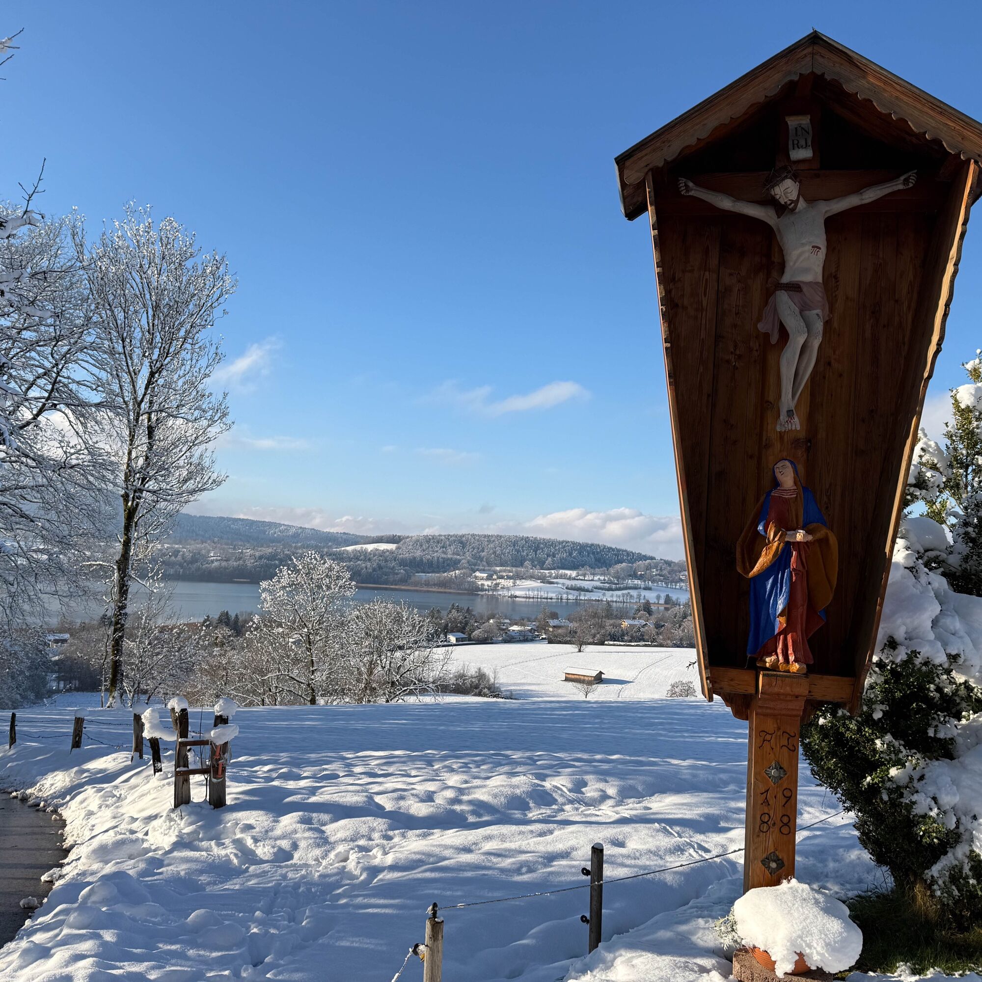
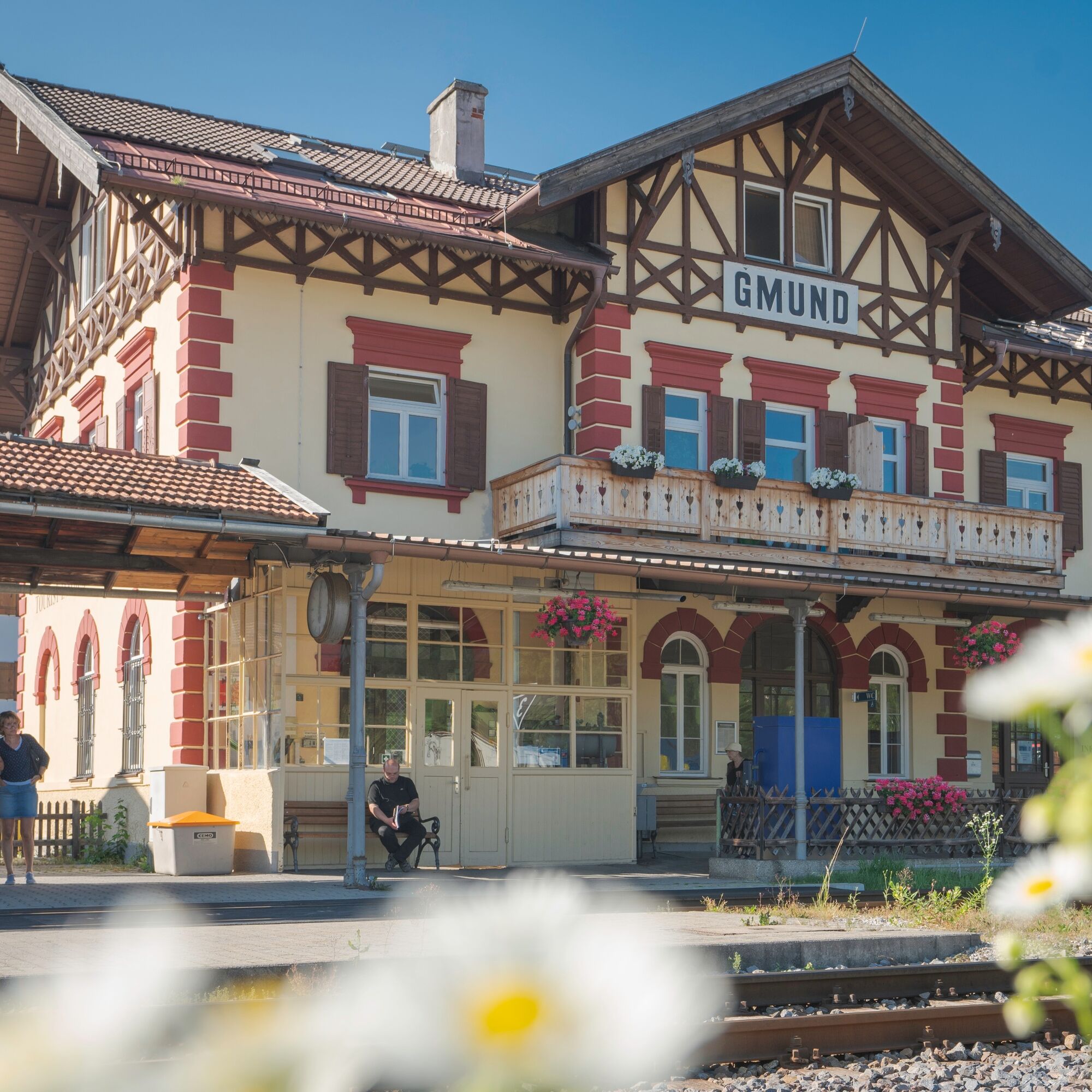

Shortly after starting at Gmund station, you cross the main road after the village square and walk a short stretch along the Mangfall towards Louisenthal. Now a side road leads uphill over Schafstatt and Schwärzenbach towards Ostin (hiking trail 549 then 545). After crossing the main road, you go straight to the district Gasse. Here you can choose either to go directly to the lake via Kurstraße and return to the station via Seeglas. On this route, you turn right into Gasslerstraße and return to the town centre via Kirchenweg. Worth seeing at the end of the hike are the parish church St. Ägidius and the local history museum in the Jagerhaus Gmund.
Da
Da
Sturdy footwear and weather-appropriate clothing.
All information without guarantee. Walking and cycling on the described routes is at your own risk.
A8 to Holzkirchen exit, via B318 to Gmund
By MVV to Tegernsee (Gmund station). Bus stop "Bahnhof Gmund"
Paid parking at Gmund station or at Volksfestplatz.
2
At the end of the route, stop for refreshments at Cafe Wagner or Cafe & Bistro Lieblingsplatz.

Spletne kamere s turneje

Priljubljeni izleti v okolici
-
4.7
Alpbach valley and Neureuth
srednjaPohodništvo 12.9 km -
4.6
Summit route to the Wallberg
srednjaPohodništvo 12.2 km -
4.6
Roß- and Buchstein, Tegernsee Hut
težkoPohodništvo 14.4 km -
4.8
Leonhardstein
srednjaPohodništvo 8.17 km -
4.3
Tegernsee Höhenweg - North
svetlobaPohodništvo 12.3 km -
4.8
Lengrieser Hütte
srednjaPohodništvo 10.6 km -
4.7
Hirschberg
srednjaGorski pohodništvo 12 km -
4.6
Brecherspitze
srednjaGorski pohodništvo 14.5 km -
3.8
Aueralm und Fockenstein
srednjaPohodništvo 14.1 km -
4.5
Brecherspitz-Runde auf dem Normalweg Schliersee, Bayern
srednjaPohodništvo 11.3 km
Pohodništvo in sledenje


Ne zamudite ponudb in navdiha za naslednje počitnice
Vaš e-poštni naslov je bil dodan na poštni seznam.





