







Imbergrunde
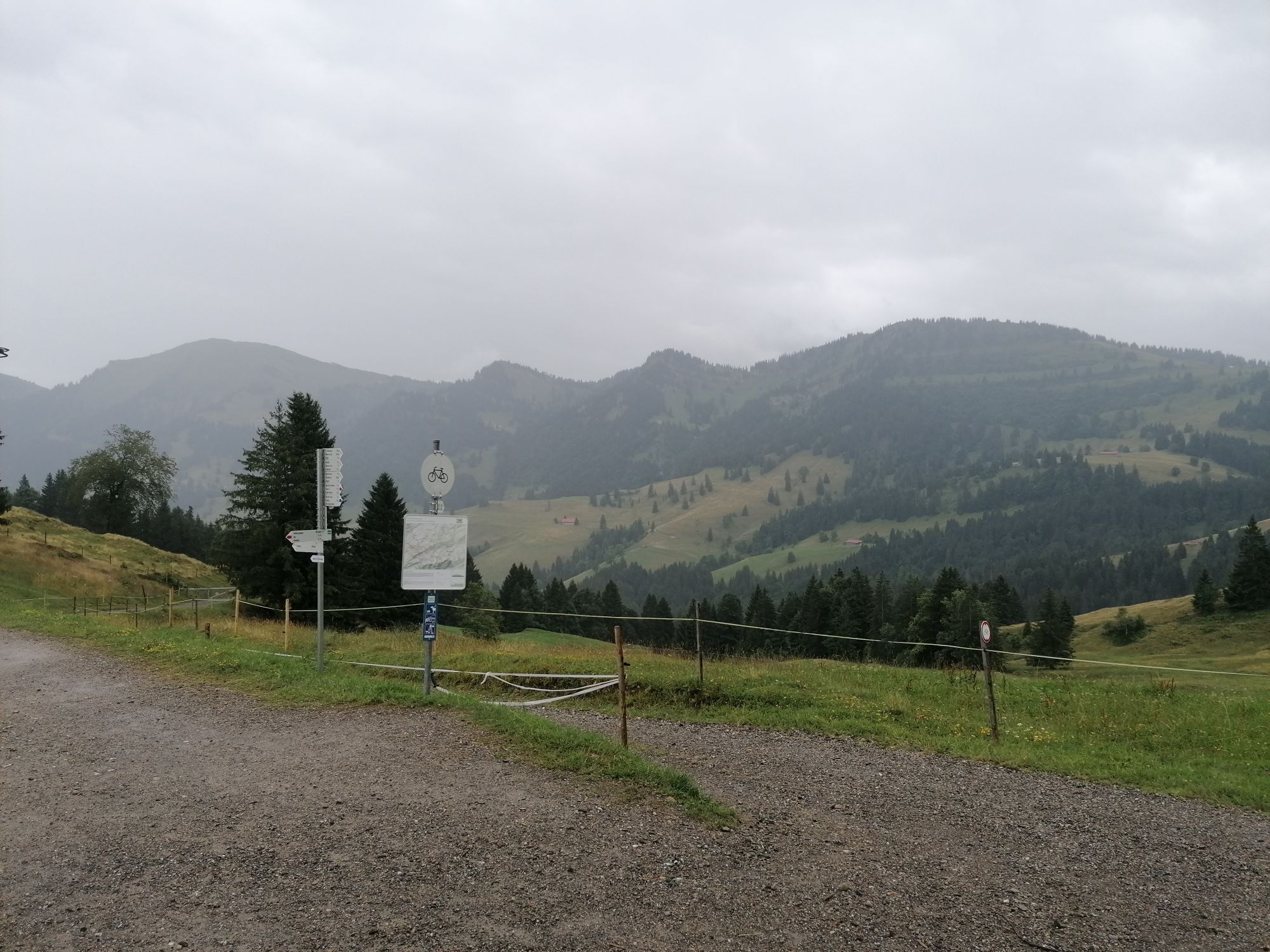
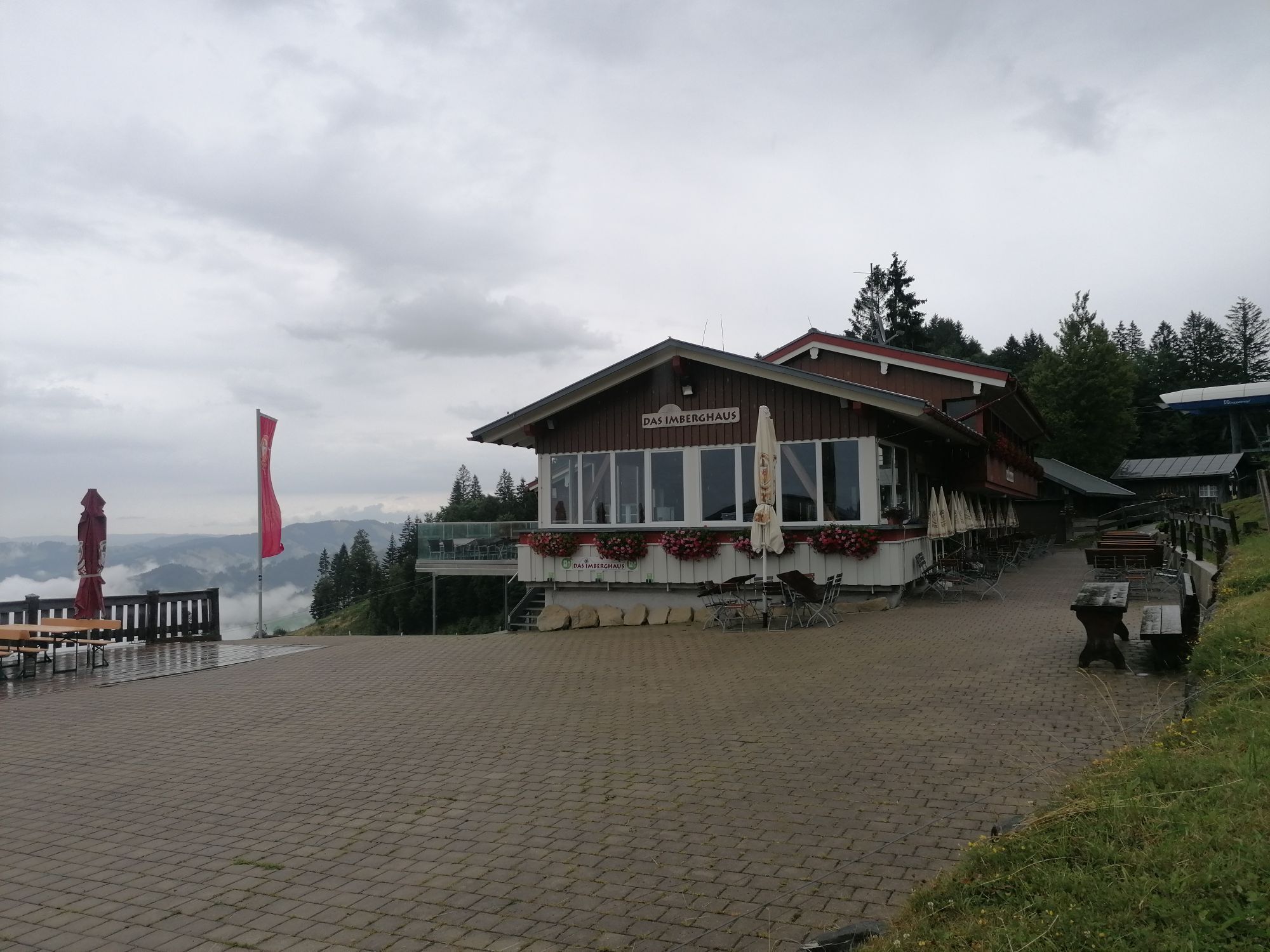
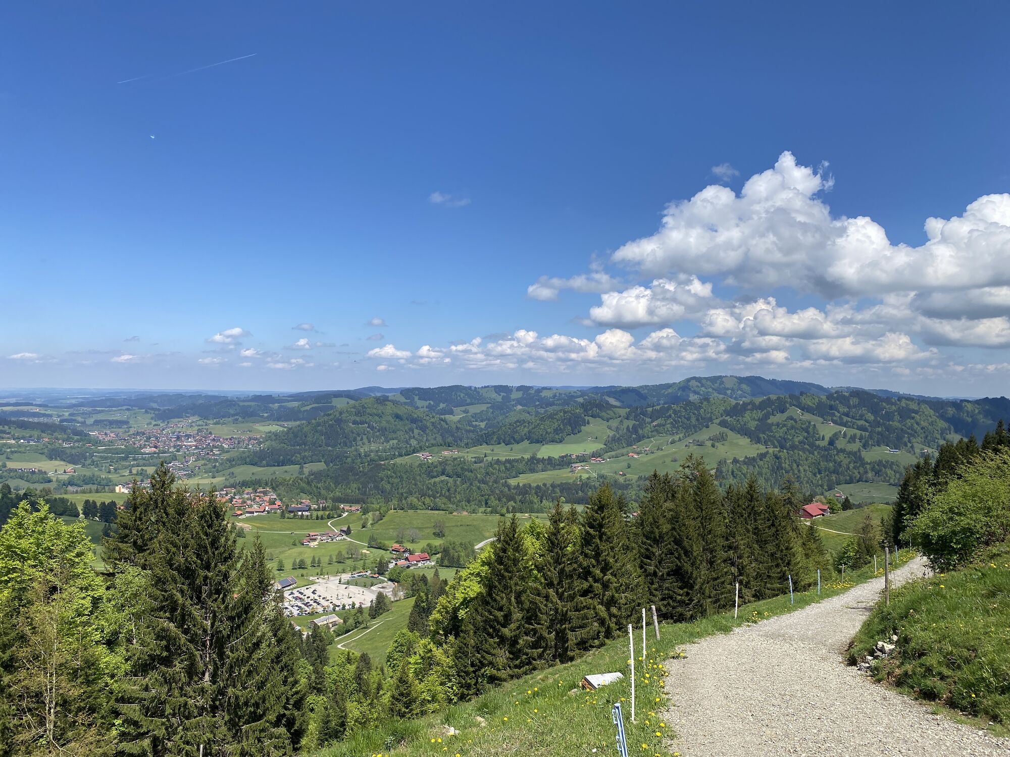
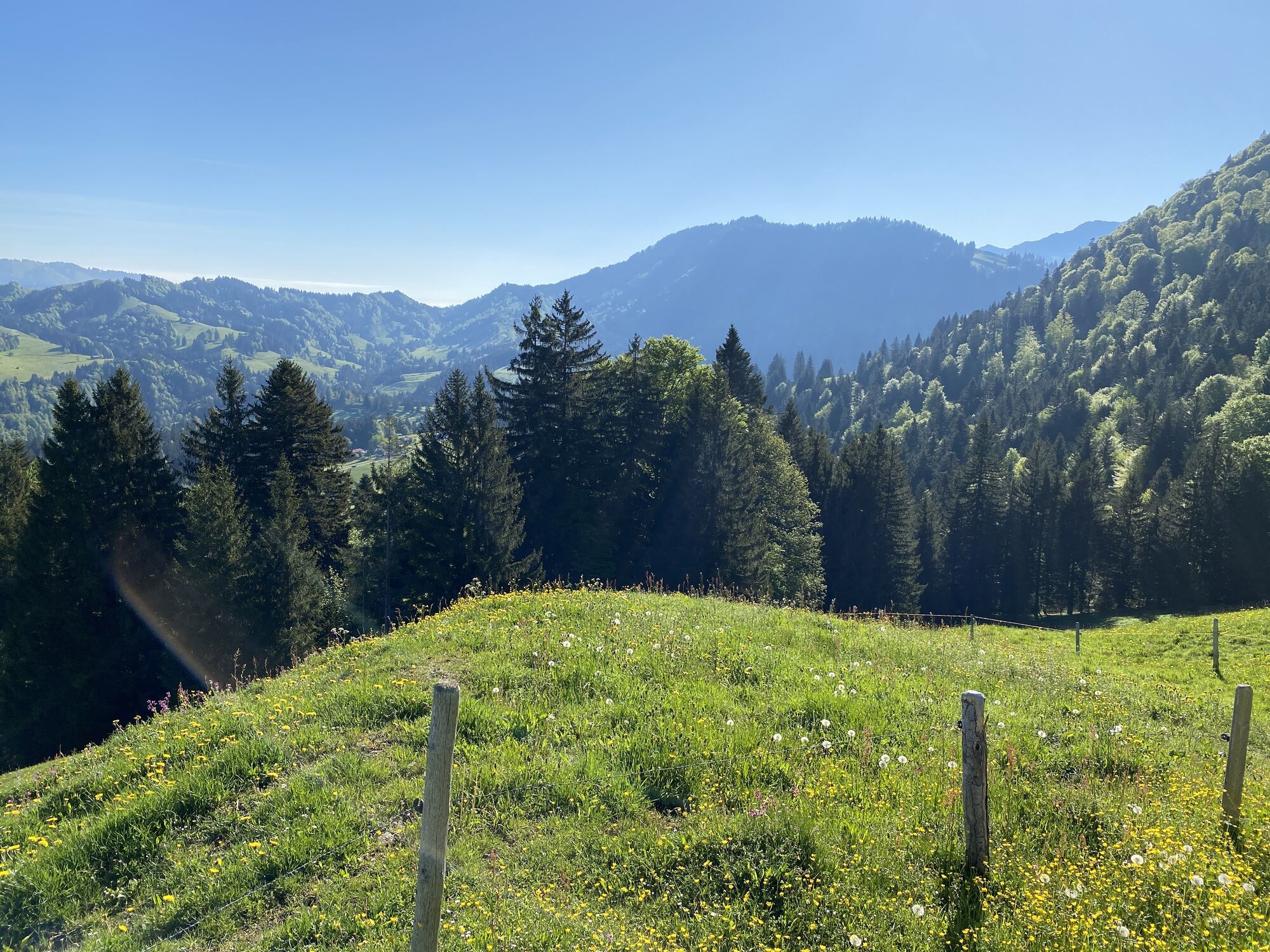
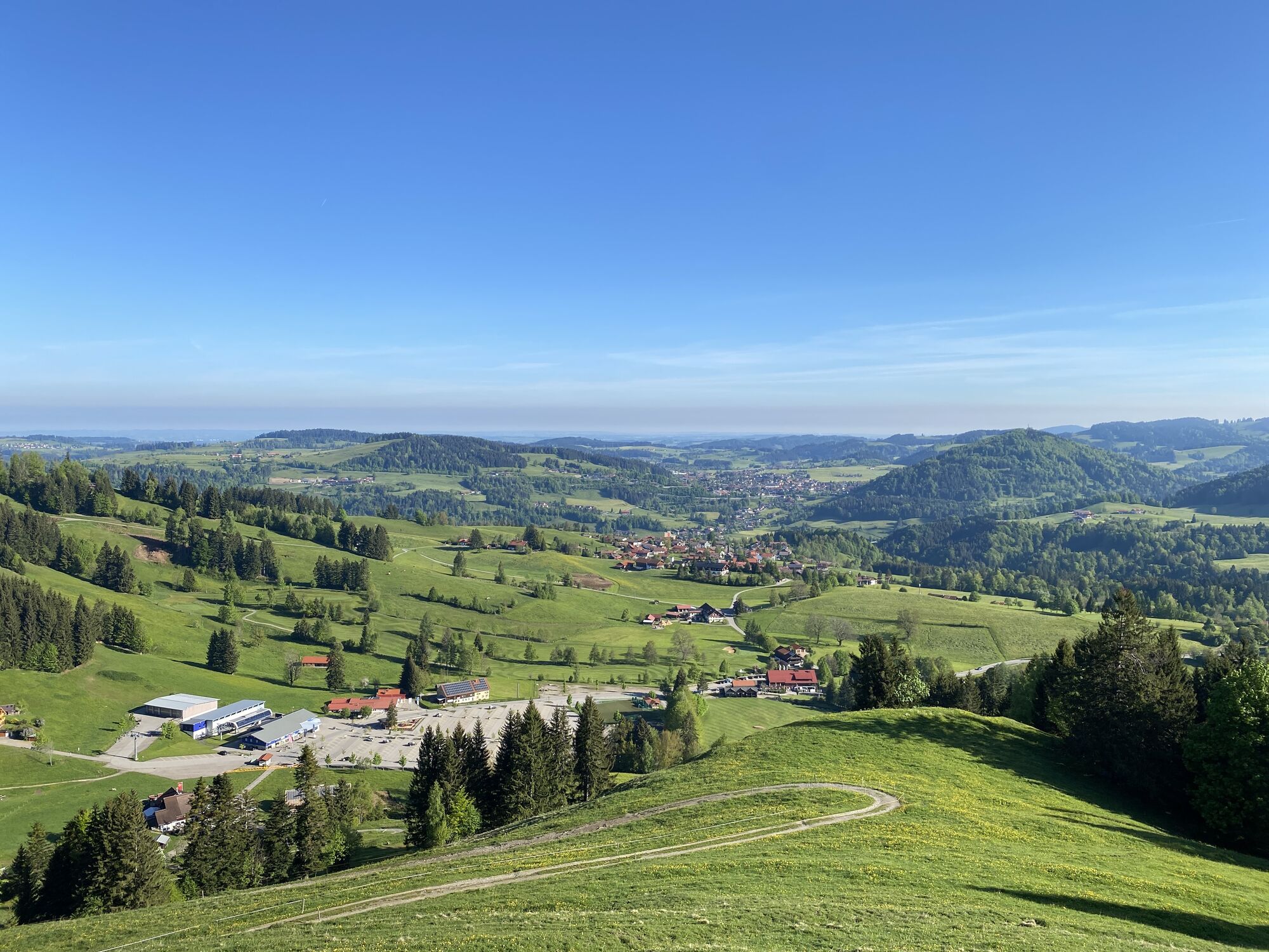
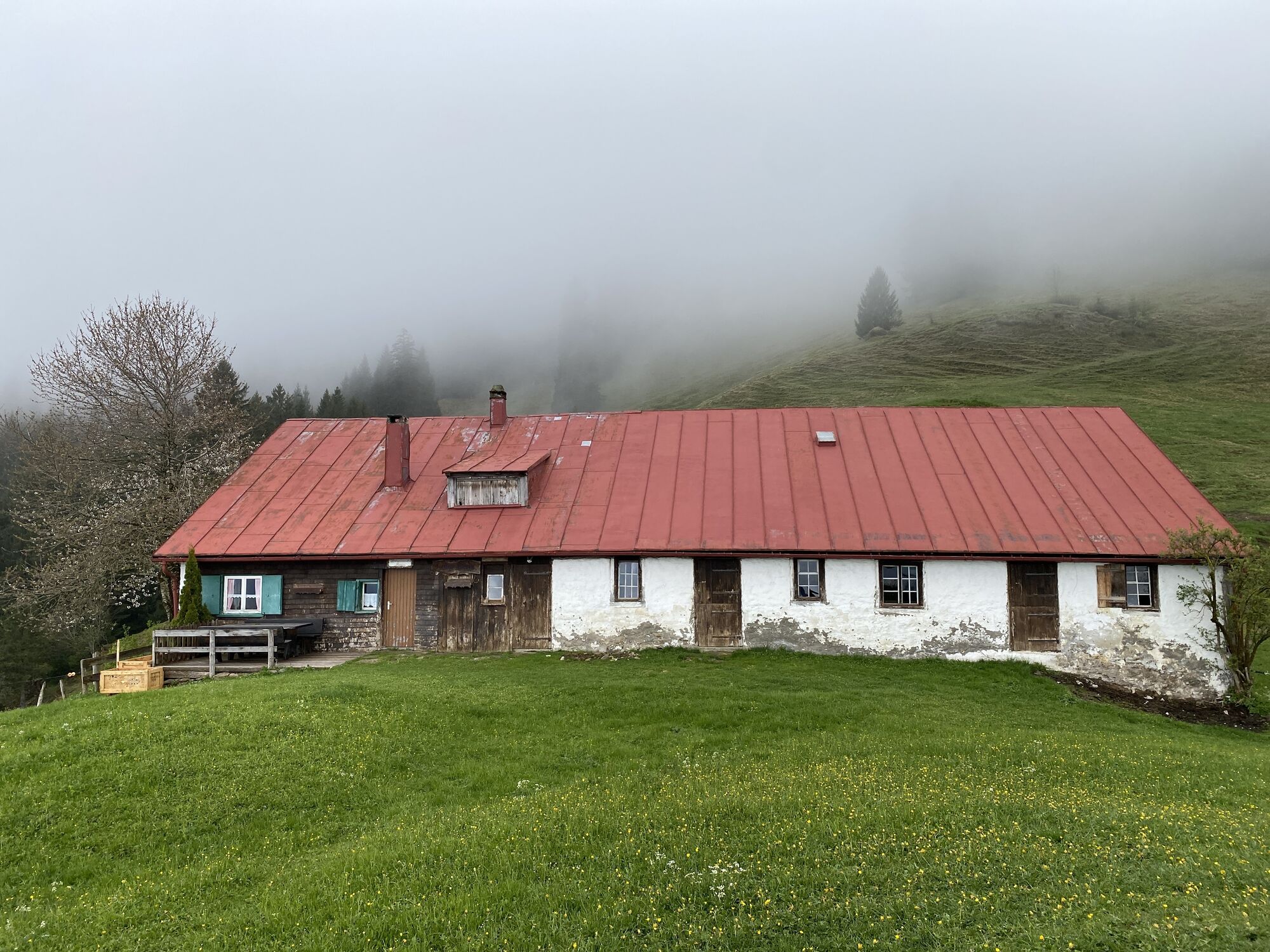
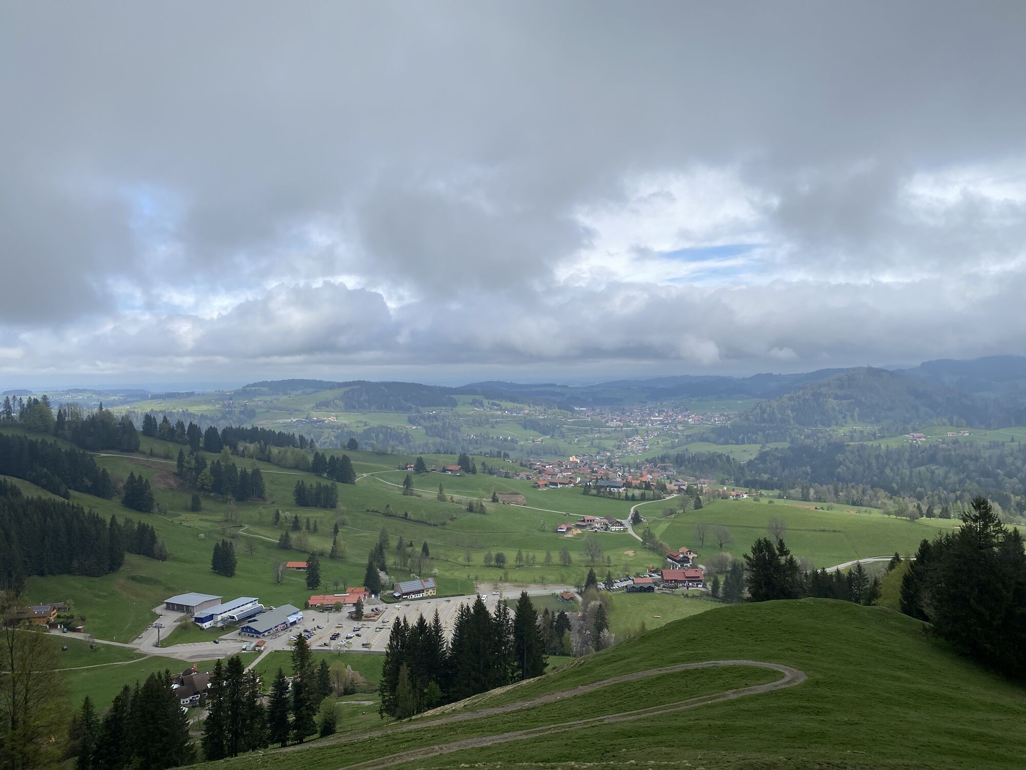
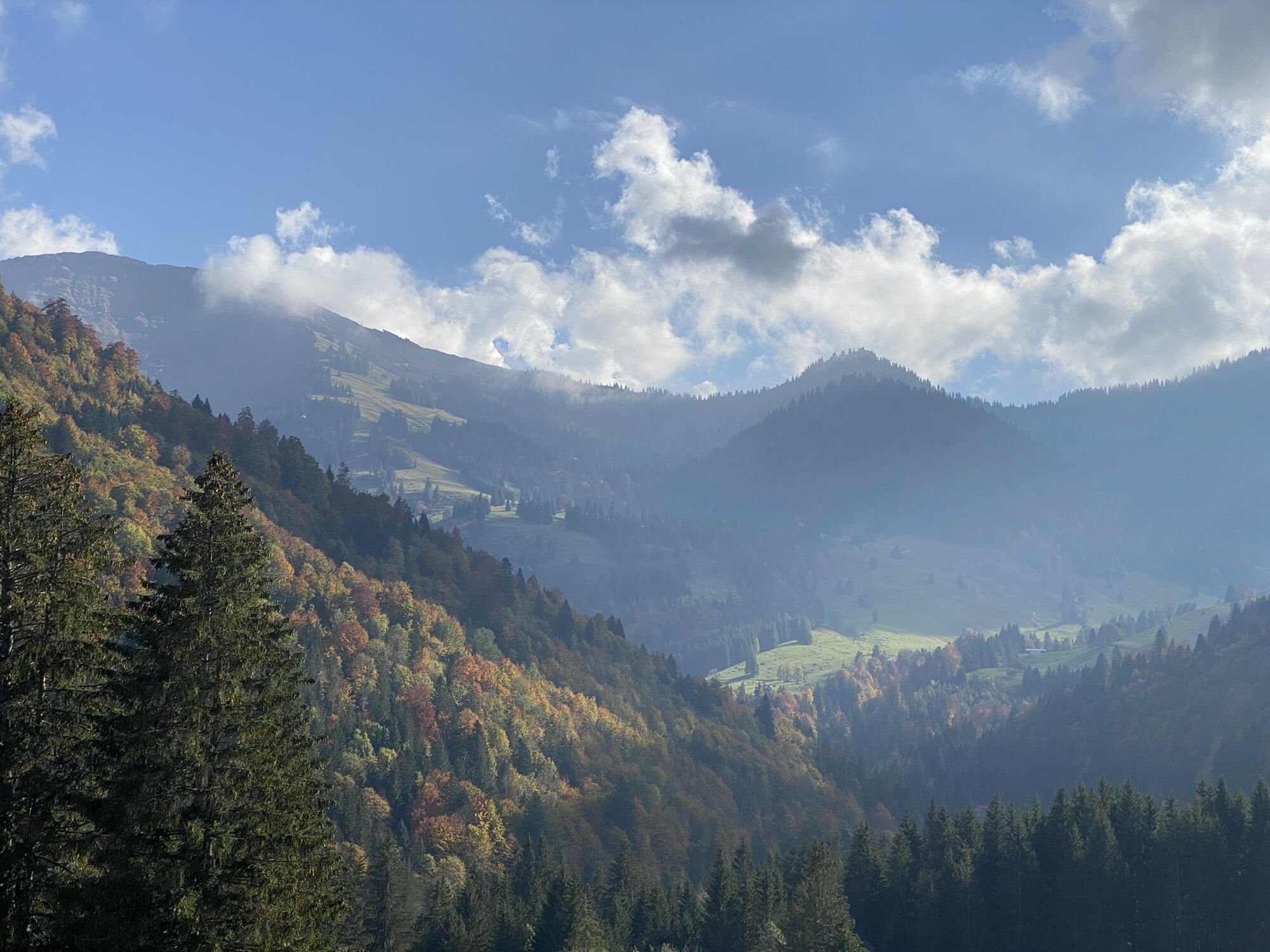
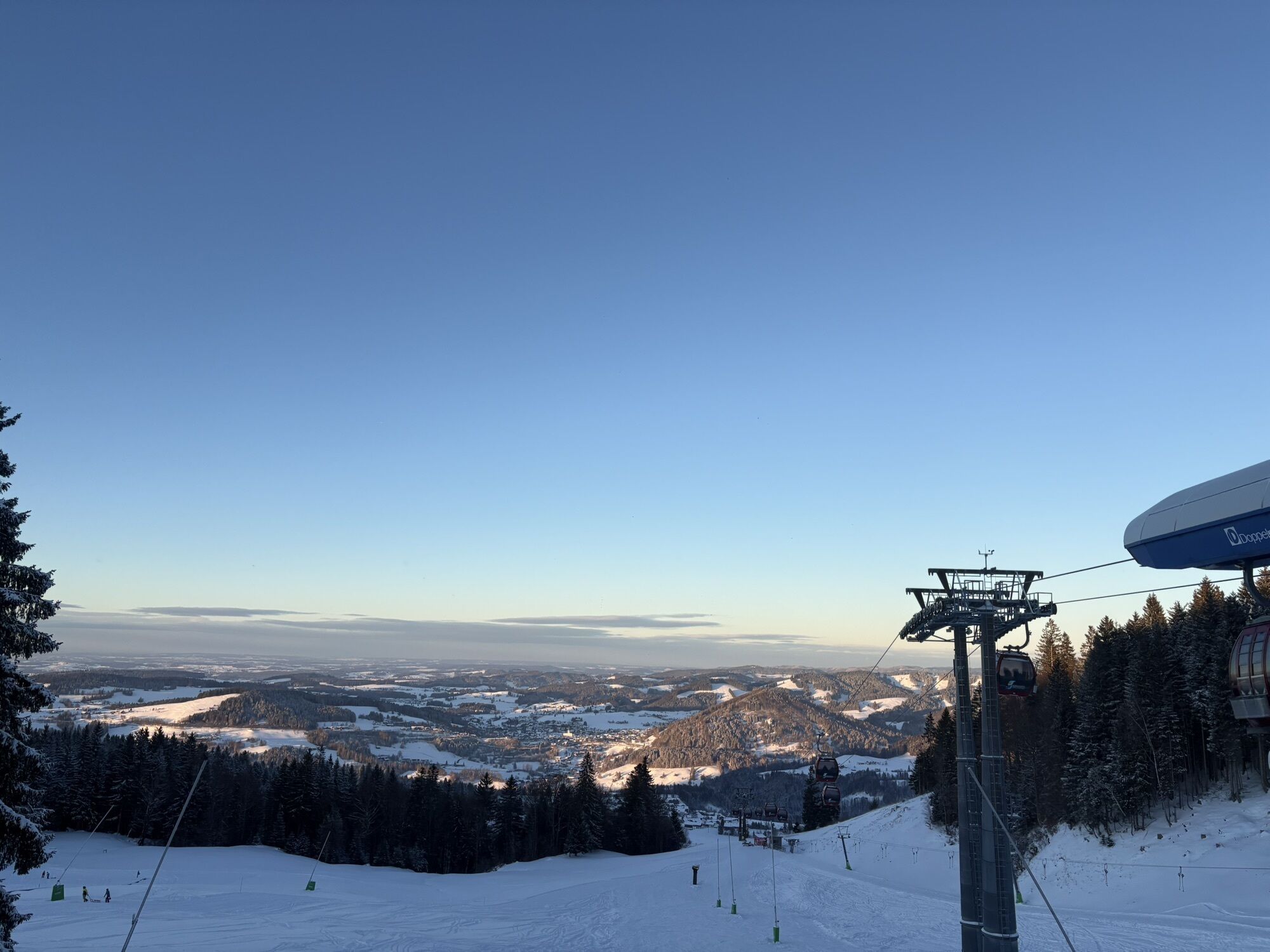
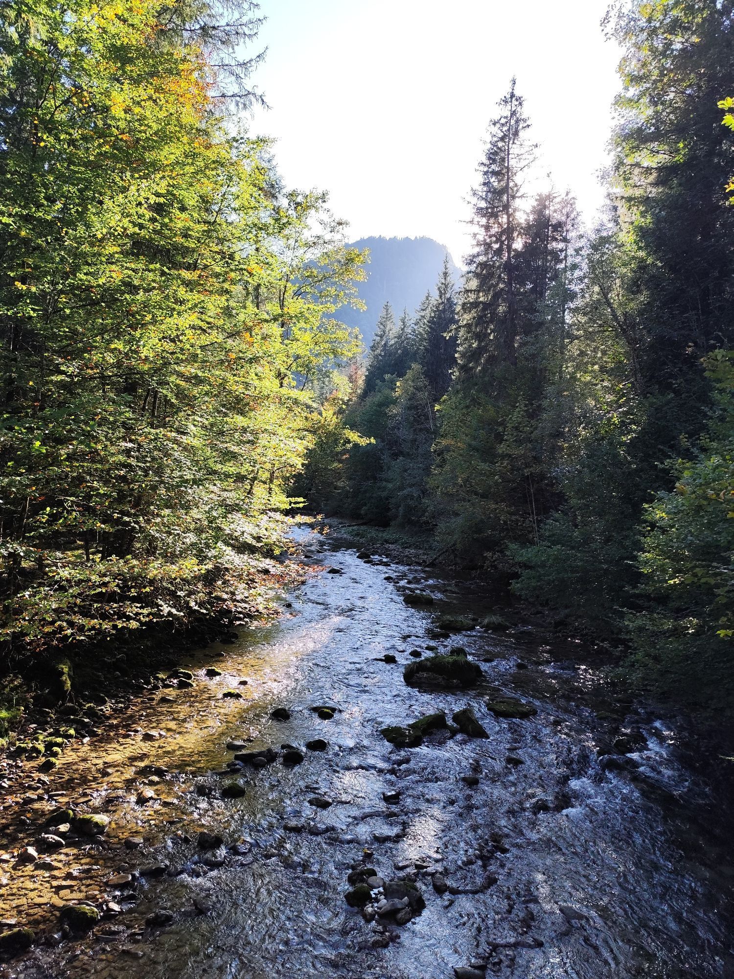
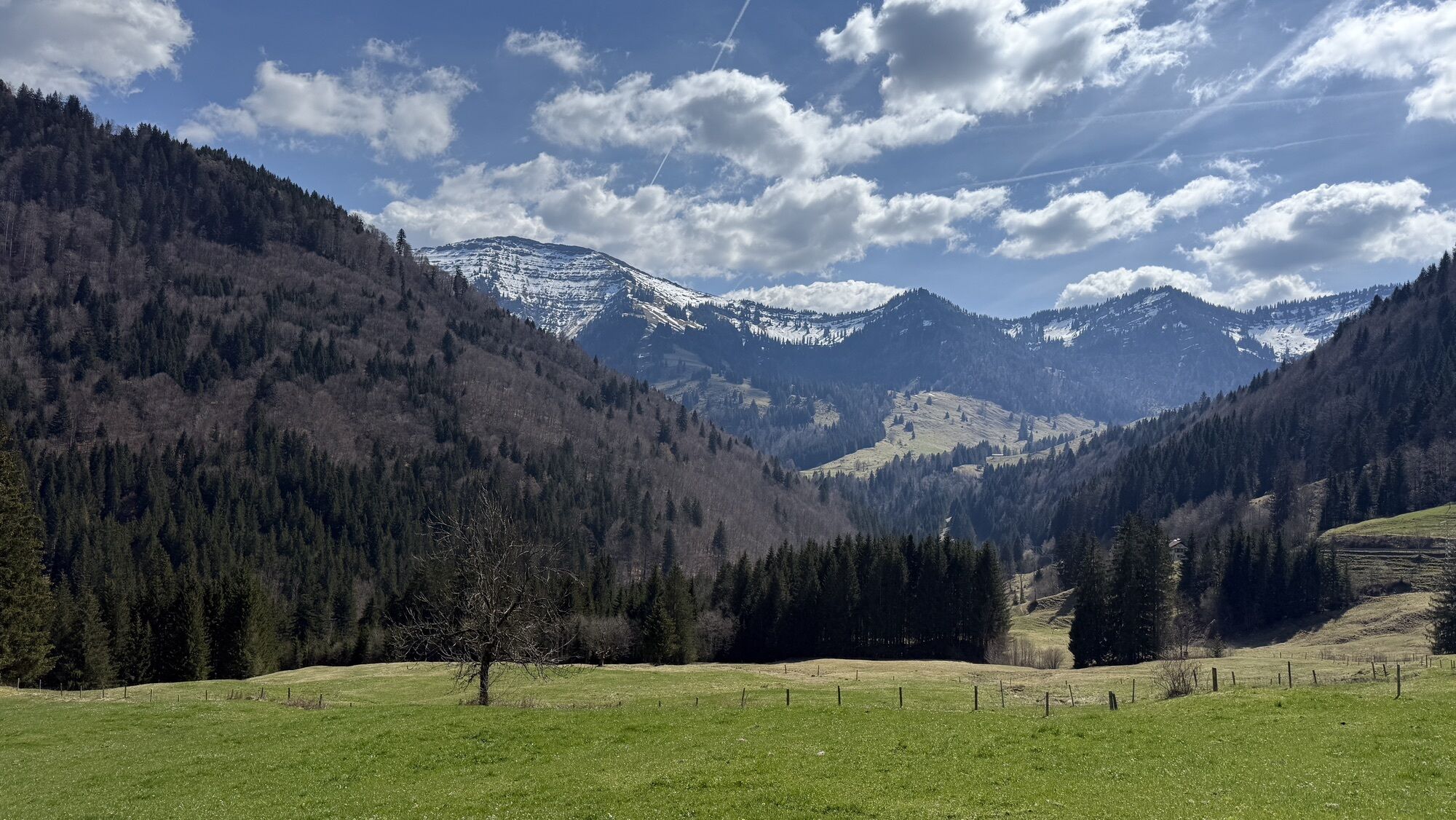
From the town centre along the walking path on the church hill to the Imbergbahn car park. From there past the mountain guesthouse Auwinkel over the Imbergalpe to the mountain station. Those who want...
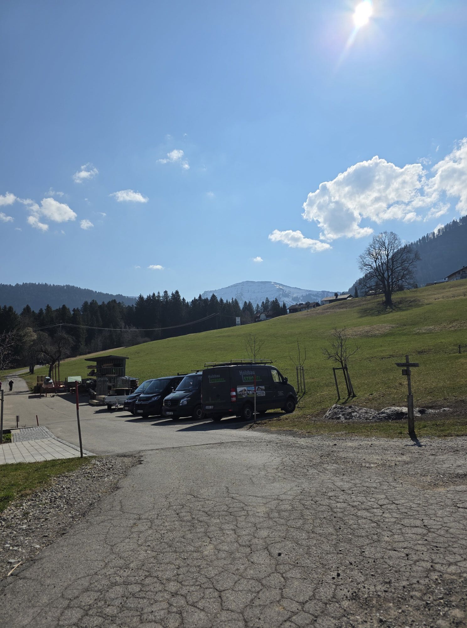
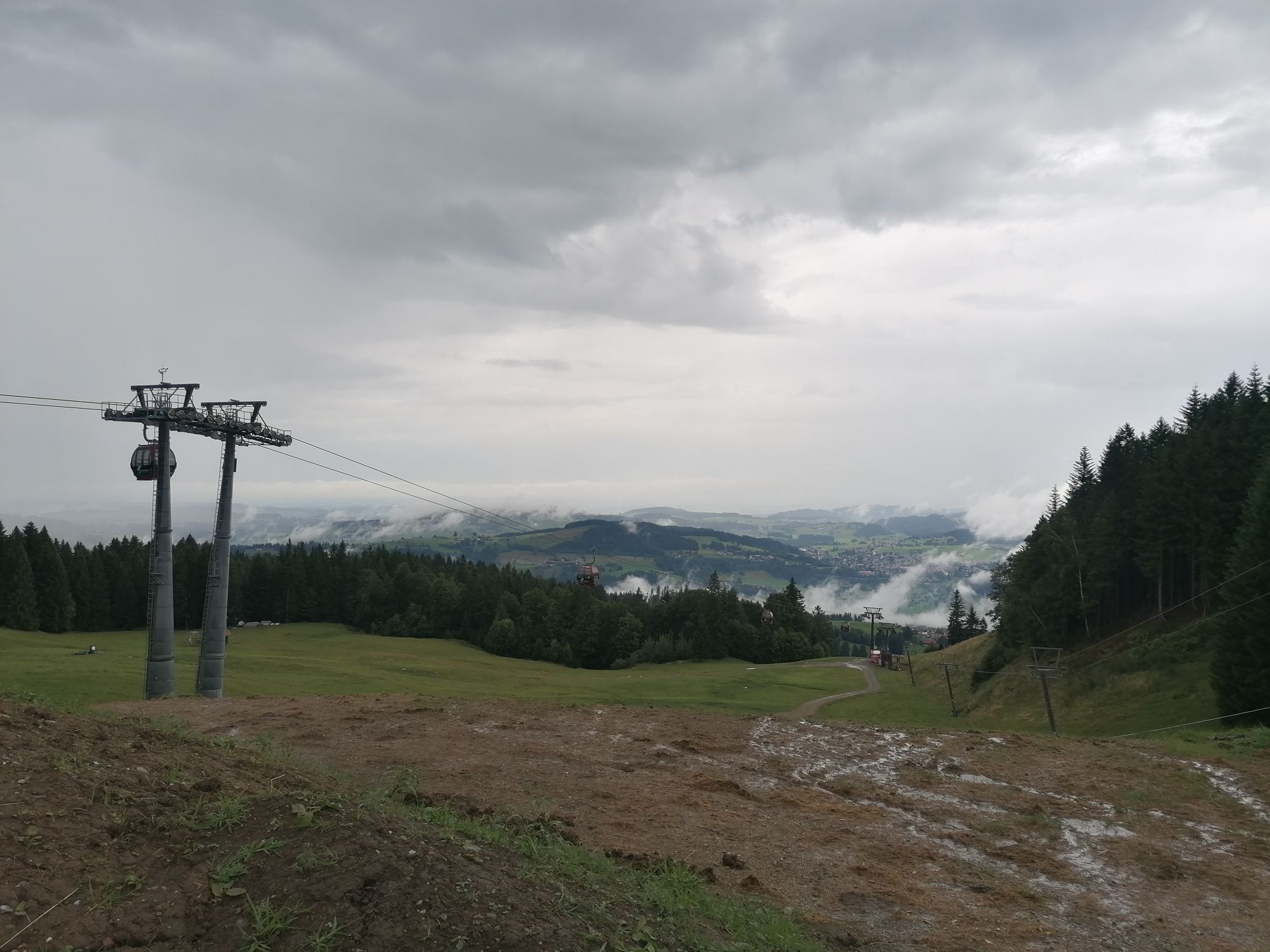
From the town centre along the walking path on the church hill to the Imbergbahn car park. From there past the mountain guesthouse Auwinkel over the Imbergalpe to the mountain station. Those who want can use the lift up or take a detour to the Imberg summit cross. From the mountain station, walk southwards past the Ober- and Unterbergmoos-Alps to the Remmelegg Alpe (place to stop and eat). Then follow the forest path downhill until you reach the road at "Lanzenbach." Cross this and continue downstream towards Tarzansteg. After crossing the Weißach river, a hiking trail leads steeply uphill into a wooded area. Then follow the signs to the forest educational path/Christl Cranz path and return on this path to Steibis. Alternatively, you can walk to the road and from the bus stop "Am Giebel" use the sidewalk. Across the golf course it goes back to the Imbergbahn.
Good to know: The path Lanzenbach - Tarzansteg - Giebel is also used by bikers. Friendly coexistence benefits all path users. The passage gates (flowgates) along the route are powered by electricity and should only be touched and opened at the designated handles.

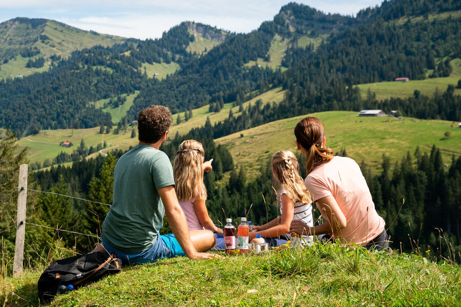
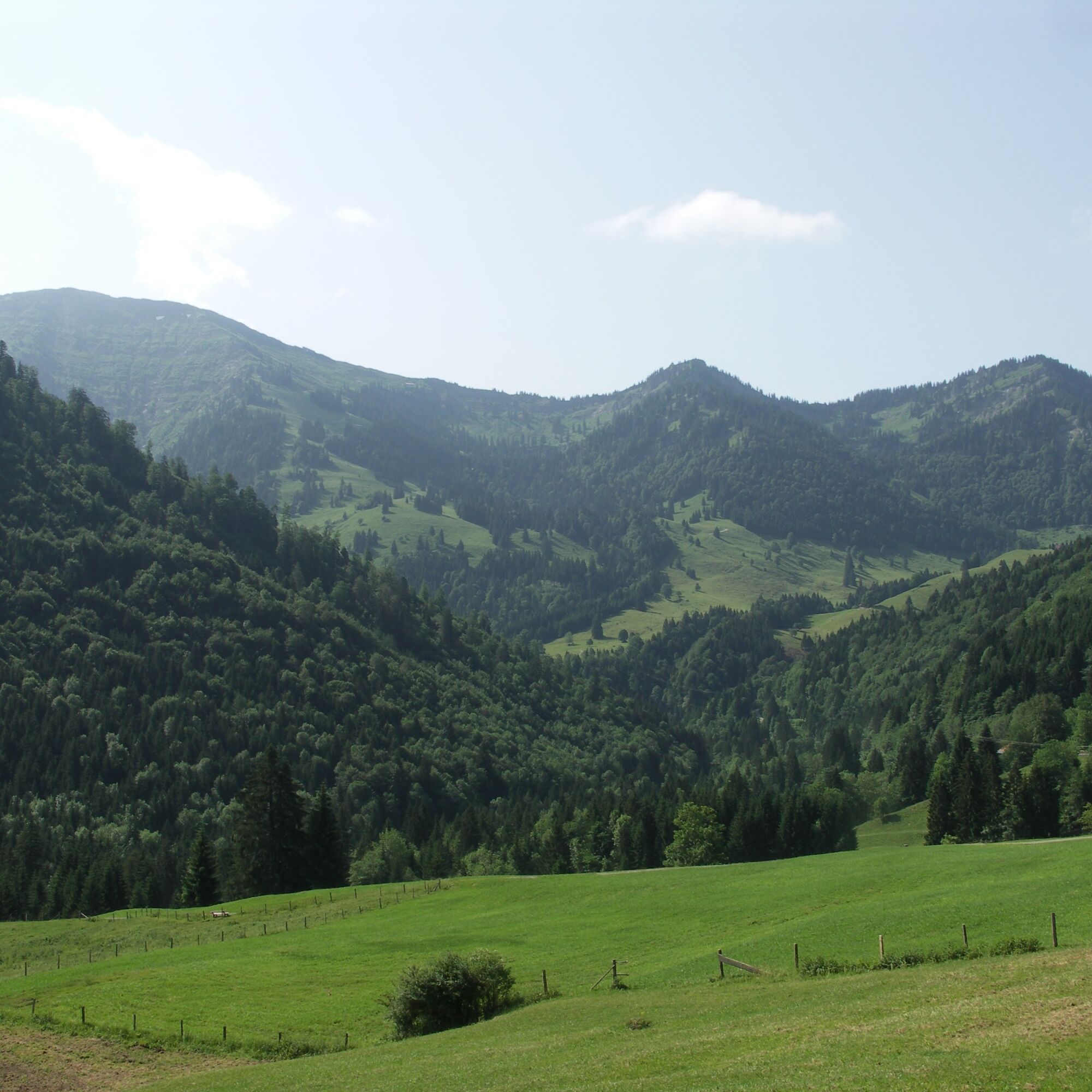
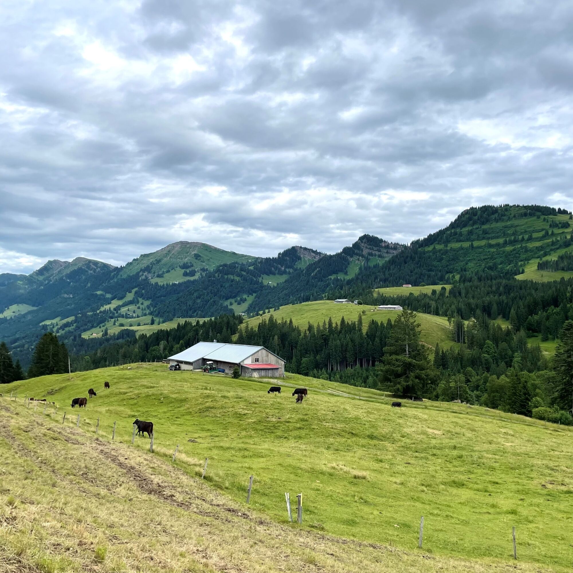

From the tourist info across the street "Am Gemsholz" to the Imbergbahn. Past the café Auwinkel over the Imbergalpe to the mountain station, there follow the path southwards over the Remmelegg Alpe (stop for refreshments) to the road at Lanzenbach. On the opposite side, turn into the forest path and follow the Weißach river downstream to the so-called Tarzansteg. After crossing it, go uphill to the forest. Then continue to the forest educational path and back to Steibis via the Christl Cranz path.
B308 to Oberstaufen, then on to Steibis.
By local bus from Oberstaufen to Steibis
Parking at the Imbergbahn or at the Am Hößl car park

Spletne kamere s turneje
-
Alpenarena Hochhäderich
-
Hochlitten Riefensberg / Bregenzerwald
-
Hochgratbahn Bergstation
-
Oberstaufen
-
Skilifte Sinswang
-
Oberstaufen - Biohotel Schratt
-
Oberstaufen - Biohotel Schratt
-
Fluhexpress Berg
-
Fluhexpress Berg
-
Fluhexpress Berg
-
Fluhexpress Berg
-
Alpe Hohenschwand
-
Oberstaufen - Rosenalp
-
Fluhexpress Bergstation
-
Hündlebahn Bergstation
-
Imberghaus
-
Oberstaufen
-
Oberstaufen - Hörmoos
-
Alpenarena Hochhäderich
Pridobite vpogled
Vedno v živo na mestu z več kot 9.500 spletnimi kamerami. bergfex Kot uporabnik Pro si lahko zdaj ogledate ustrezne spletne kamere za številne izlete v aplikaciji izleti iz. Tako si lahko neposredno ogledate trenutne razmere.
Priljubljeni izleti v okolici
-
4.7
Winterstaude
srednjaPohodništvo 9.30 km -
4.7
Steibis - Buchenegger Waterfalls
srednjaPohodništvo 6.47 km -
4.6
Hittisau | Wasserwanderweg
svetlobaTematska pot 7 km -
4.7
Rindalphorn und Hochgrat
srednjaPohodništvo 15.6 km -
4.8
Panoramarundweg Baumgarten - Niedere
svetlobaPohodništvo 3.76 km -
5.0
Nagelfluh ridge route Hochgrat - Mittag
težkoPohodništvo 14.0 km -
4.9
Immenstädter Horn
svetlobaPohodništvo 9.35 km -
4.4
Immenstädter Horn - Gschwender Horn
svetlobaPohodništvo 10 km -
5.0
Siedelalpe Runde von See - Immenstadt
svetlobaPohodništvo 10.3 km -
3.5
Rundtour Mittag
svetlobaPohodništvo 15.7 km
Pohodništvo in sledenje


Ne zamudite ponudb in navdiha za naslednje počitnice
Vaš e-poštni naslov je bil dodan na poštni seznam.





