






Hut route - Hunter's hut
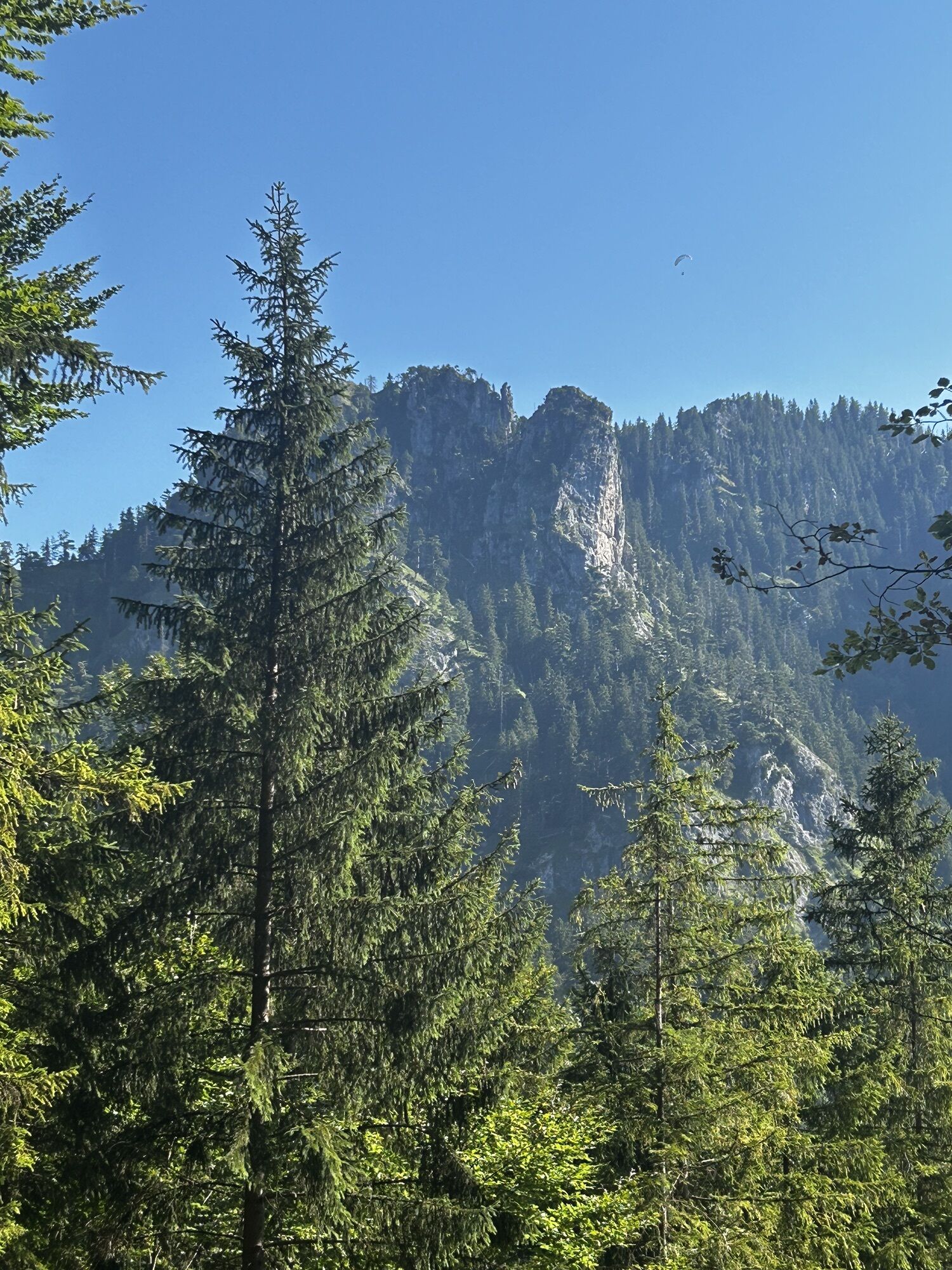
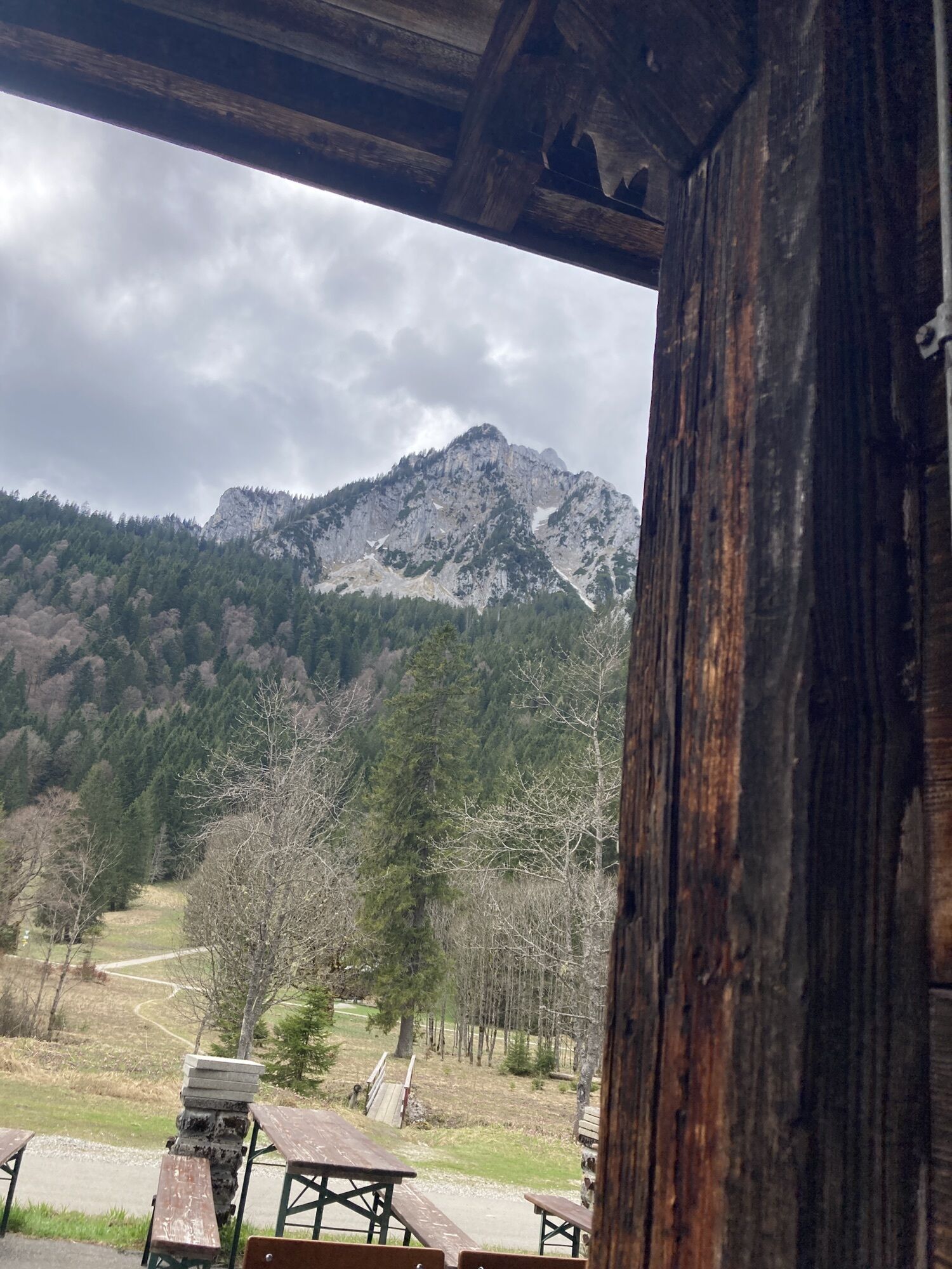
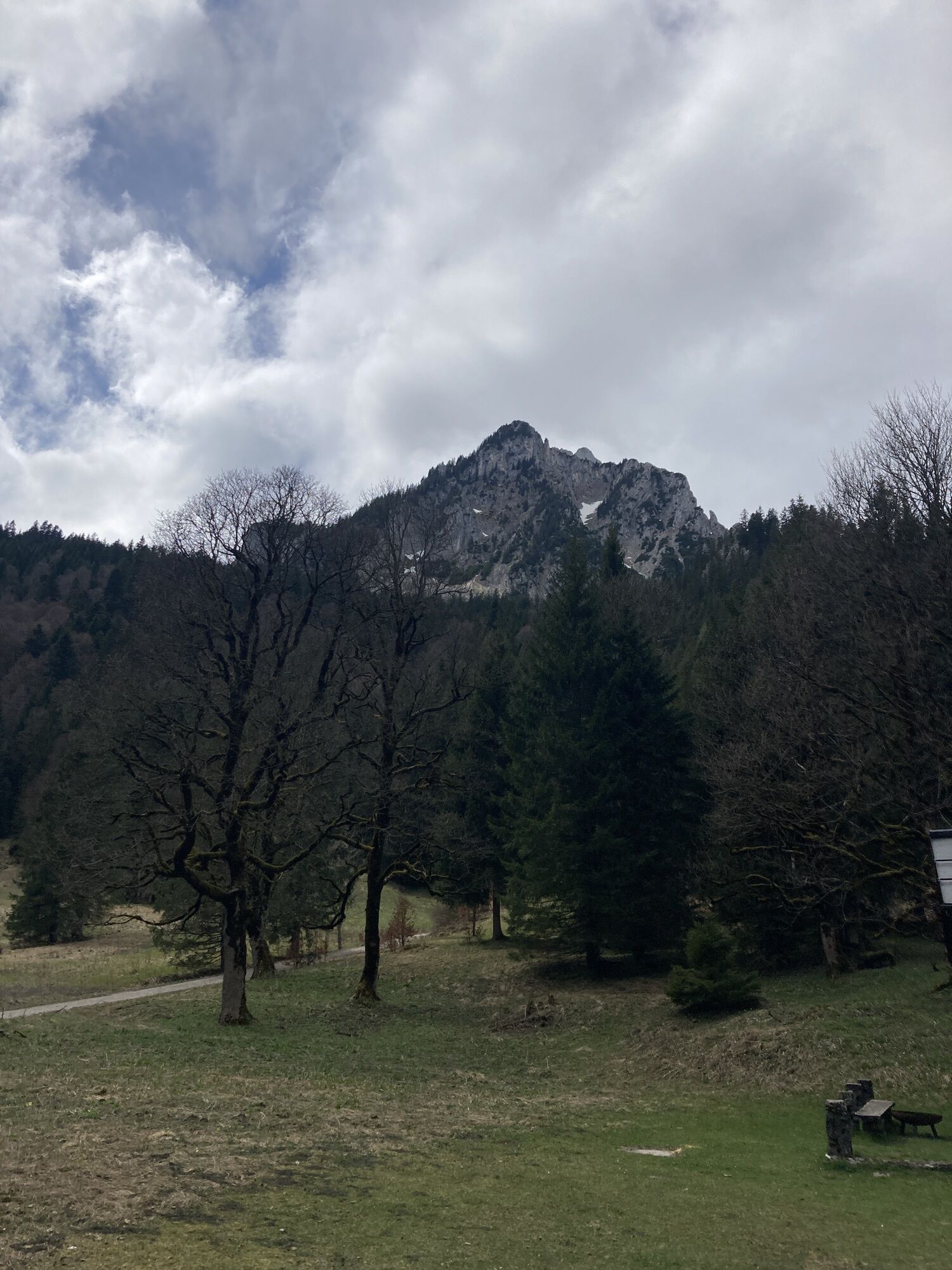


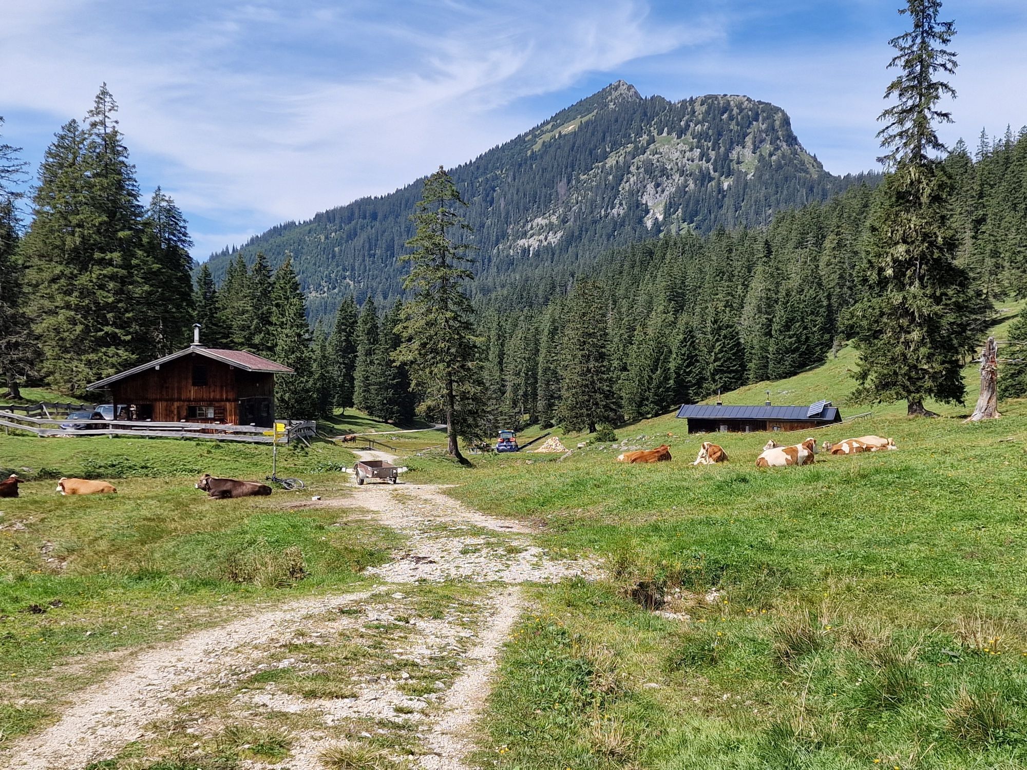
The Hunter's hut is located at 1,422 meters and is situated in the middle of the Ammergebirge nature reserve. The herders take care of around 100 young cattle.
The Hunter's hut is currently not serving...
The Hunter's hut is located at 1,422 meters and is situated in the middle of the Ammergebirge nature reserve. The herders take care of around 100 young cattle.
The Hunter's hut is currently not serving food.

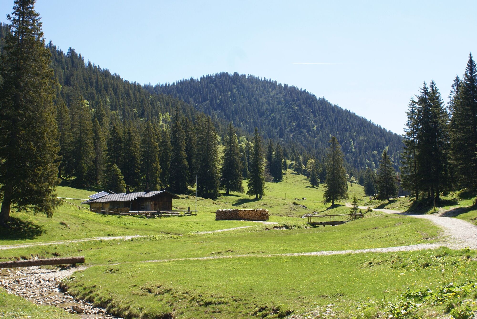
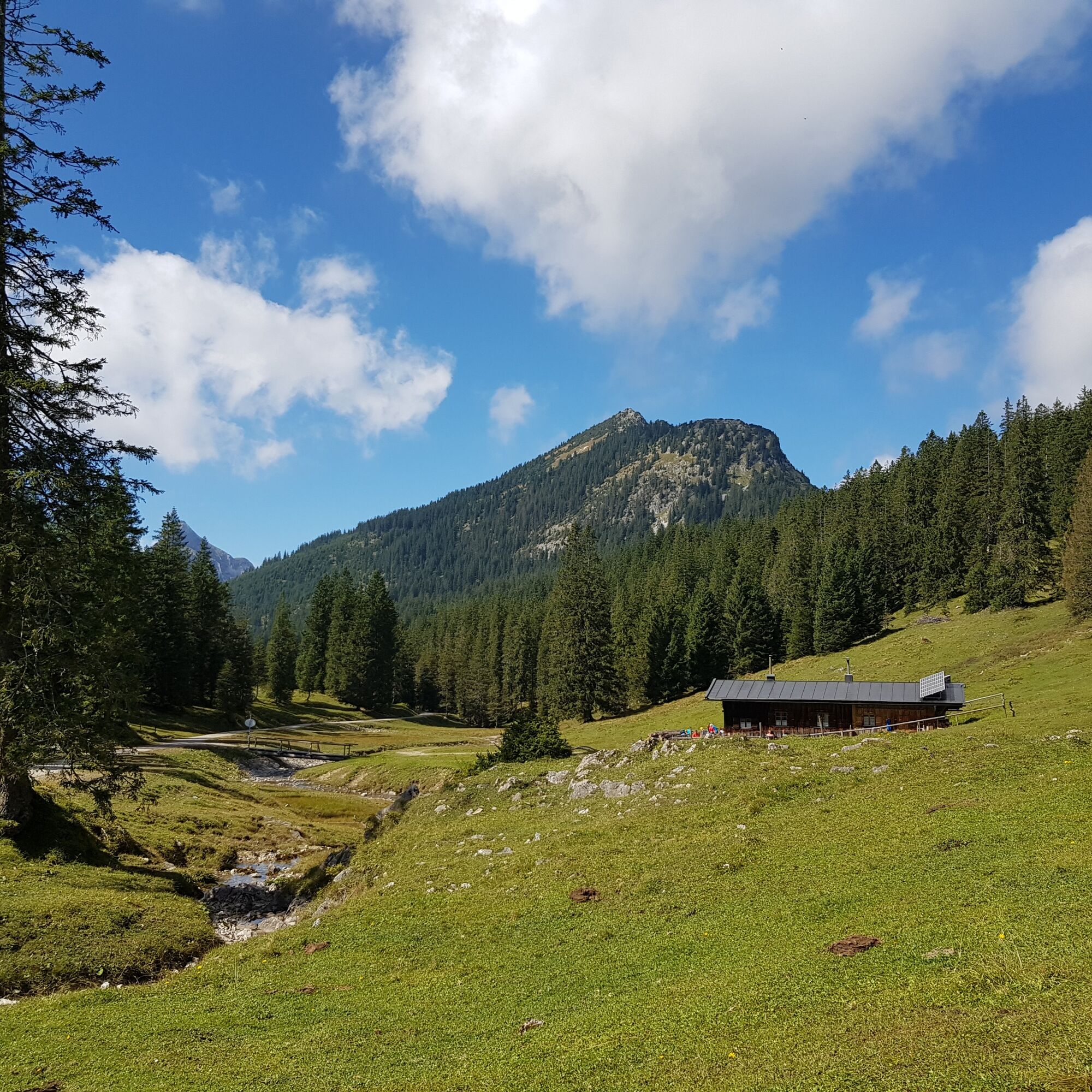
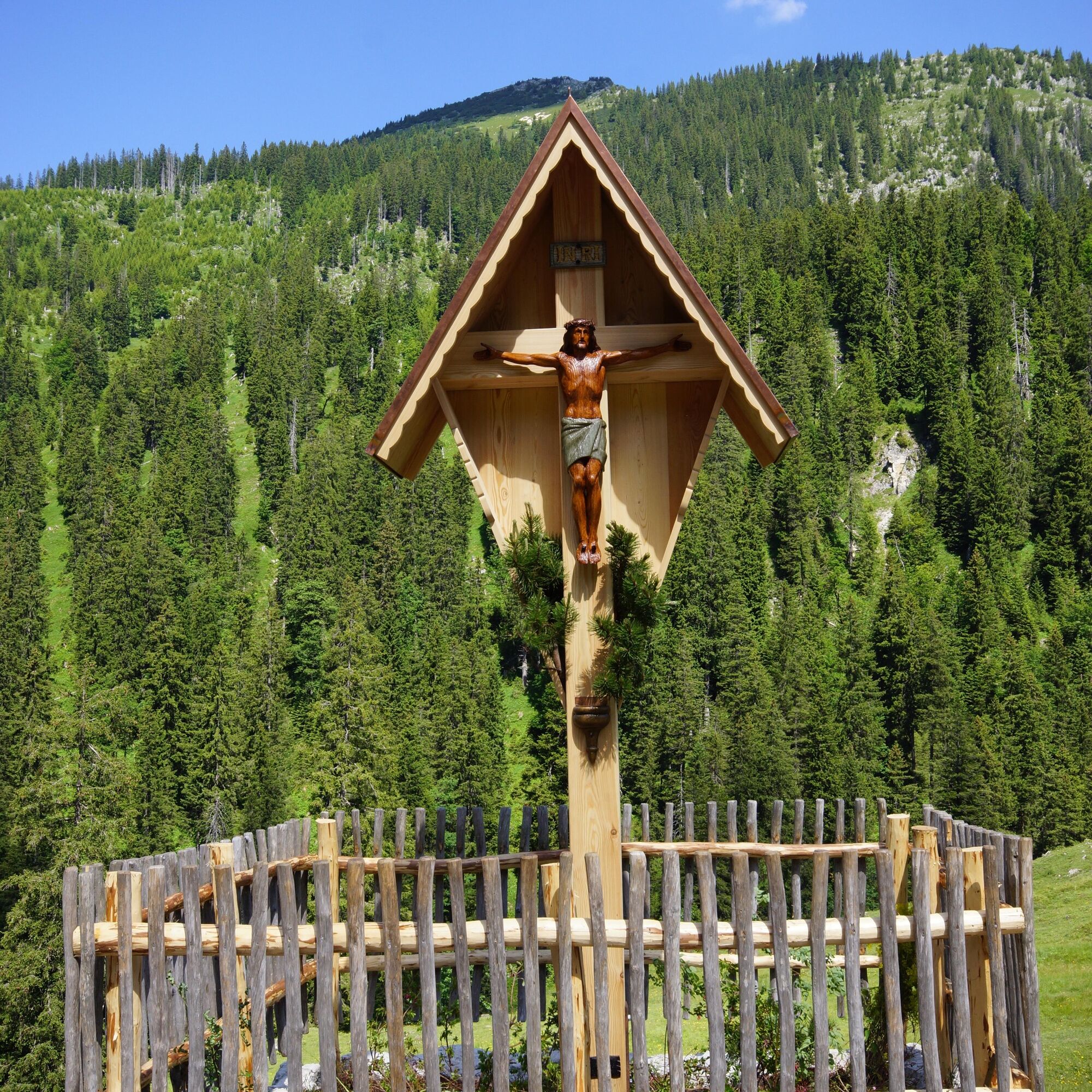


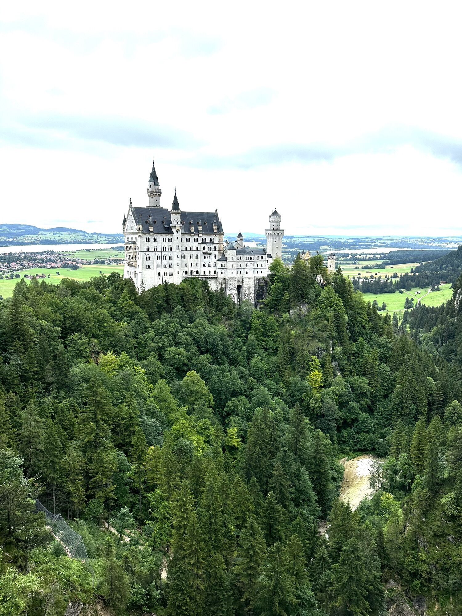
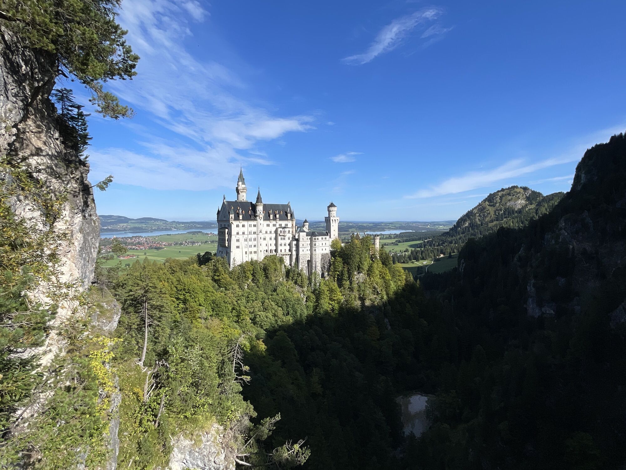
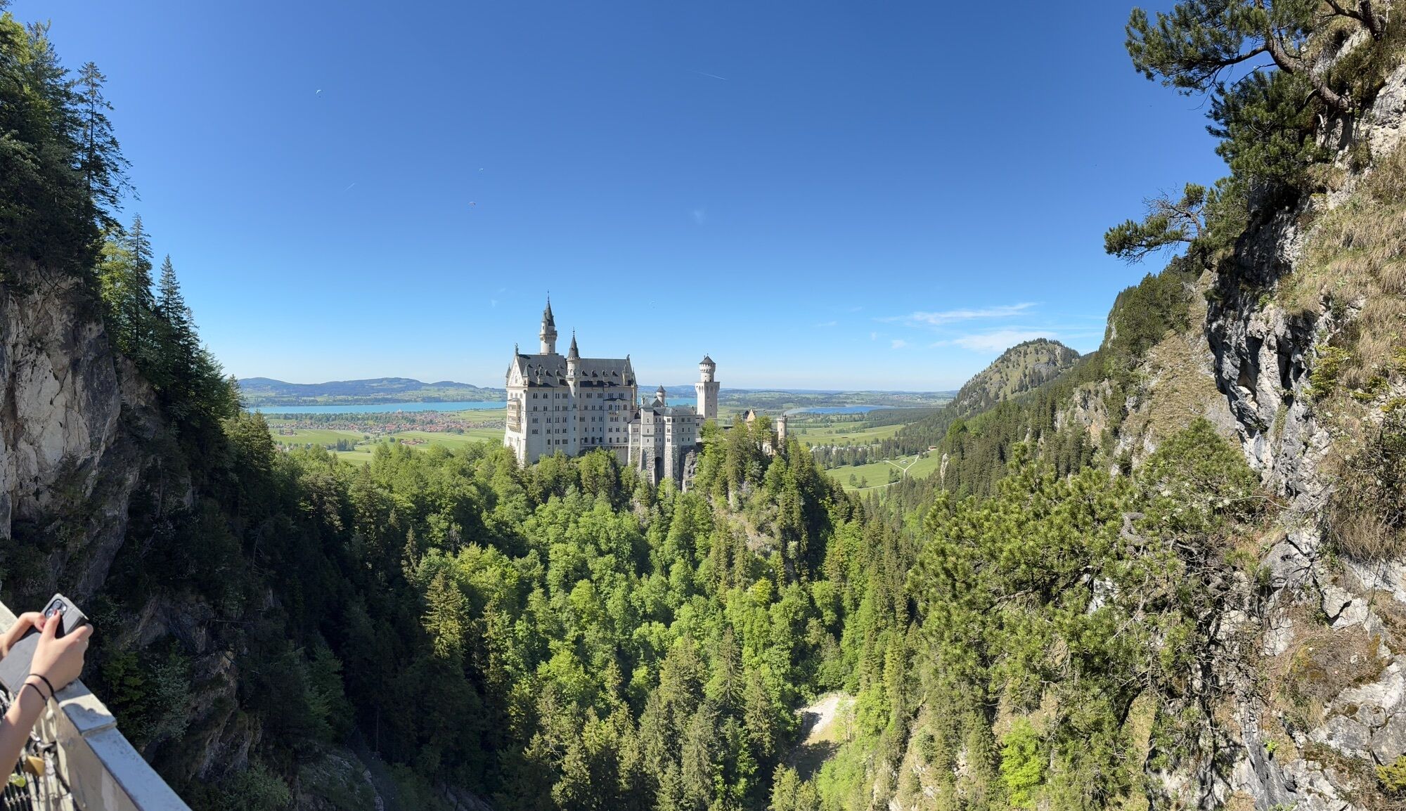
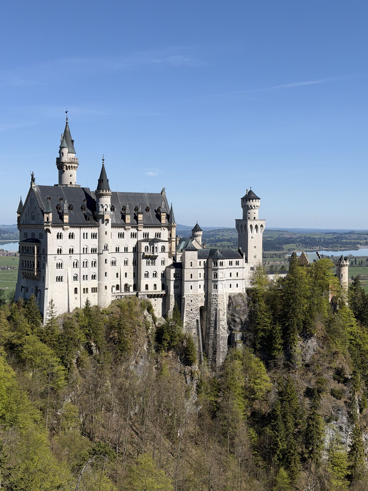
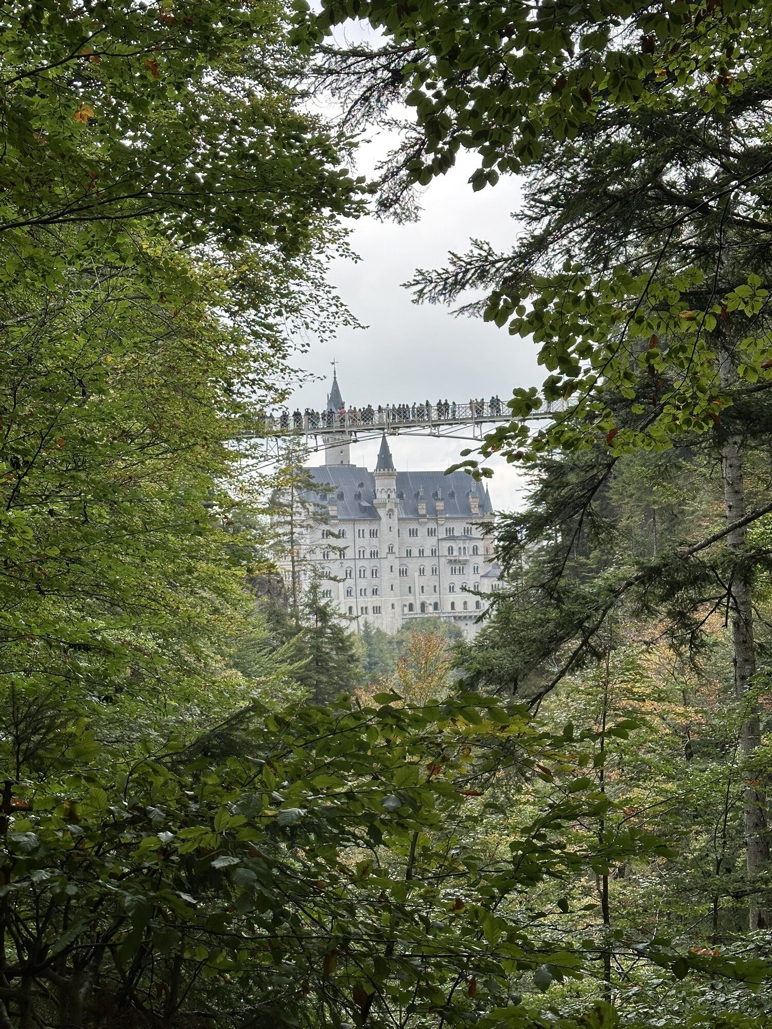
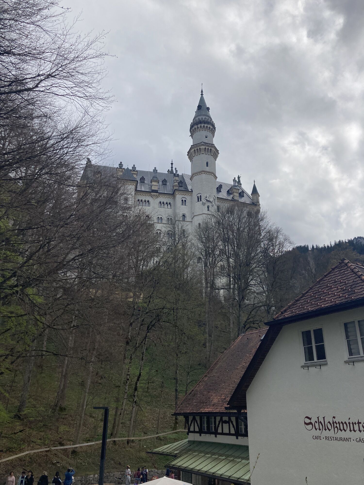
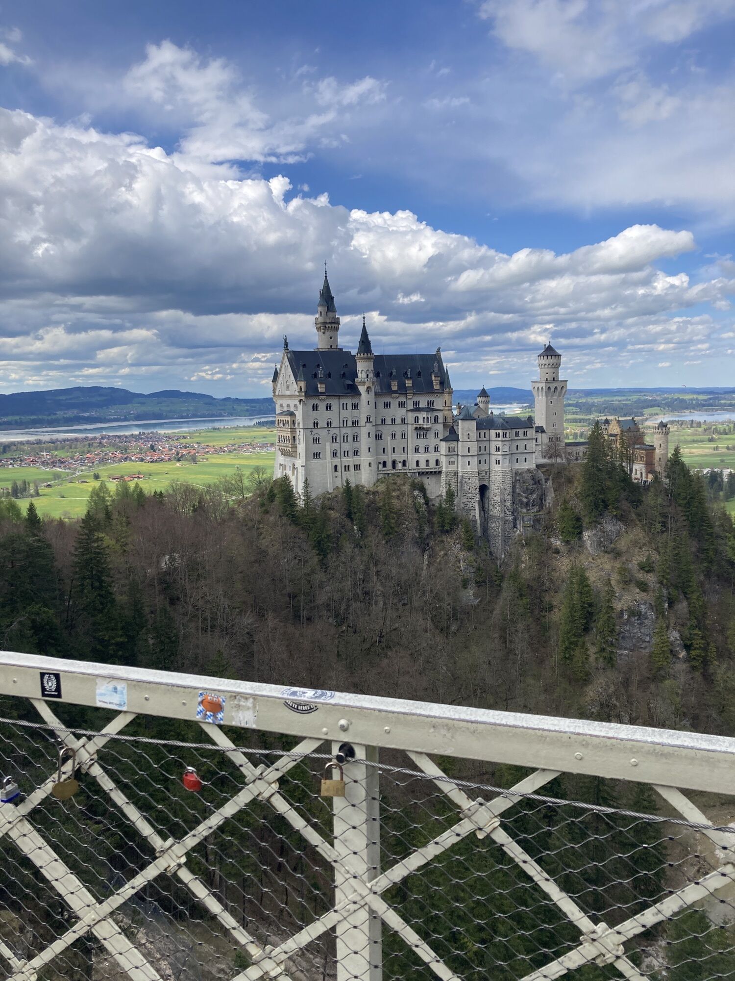
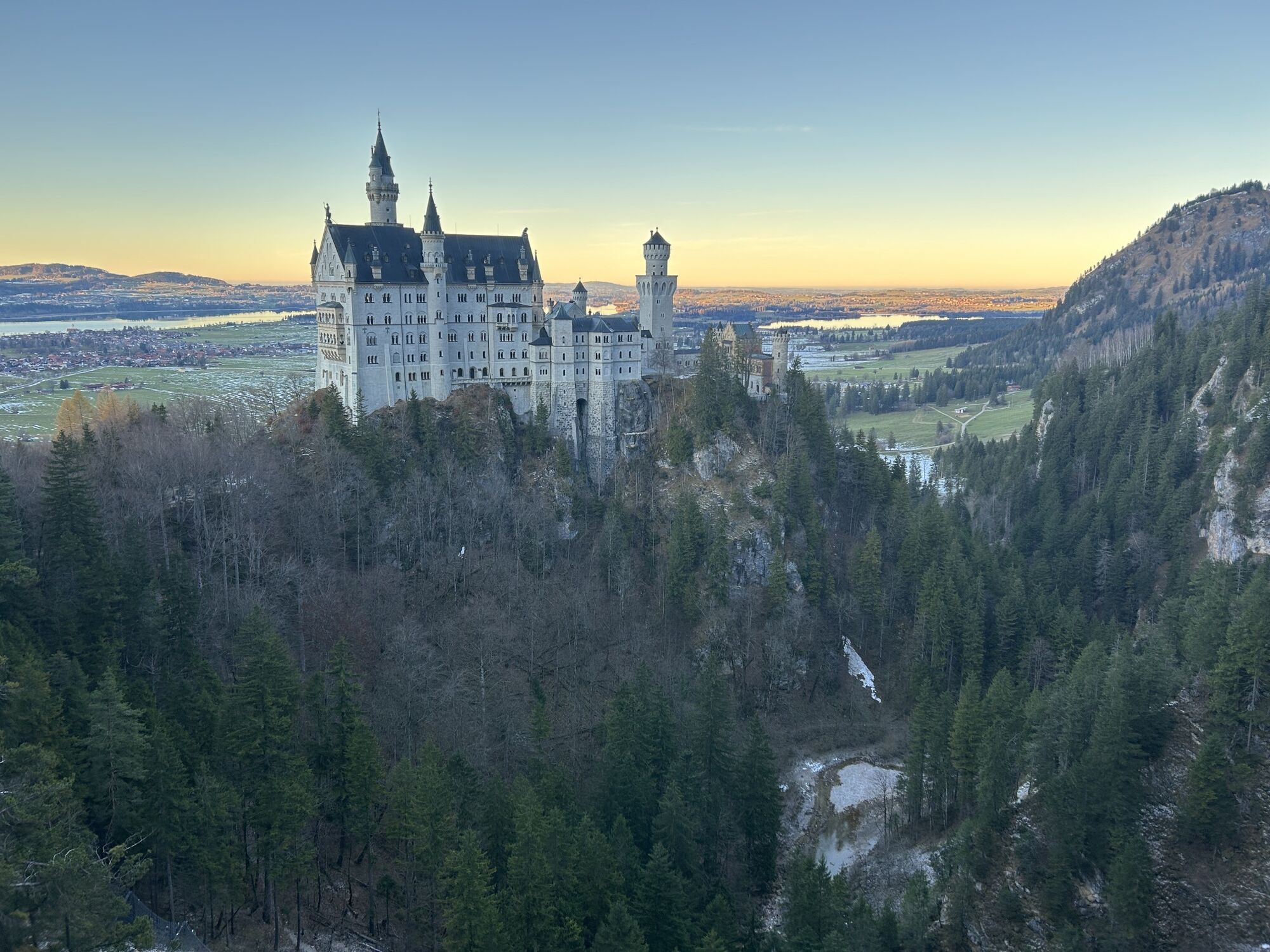
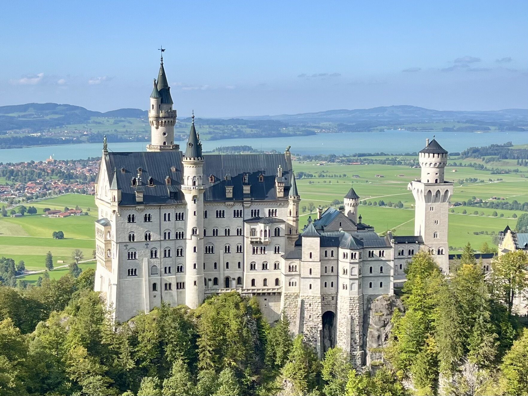
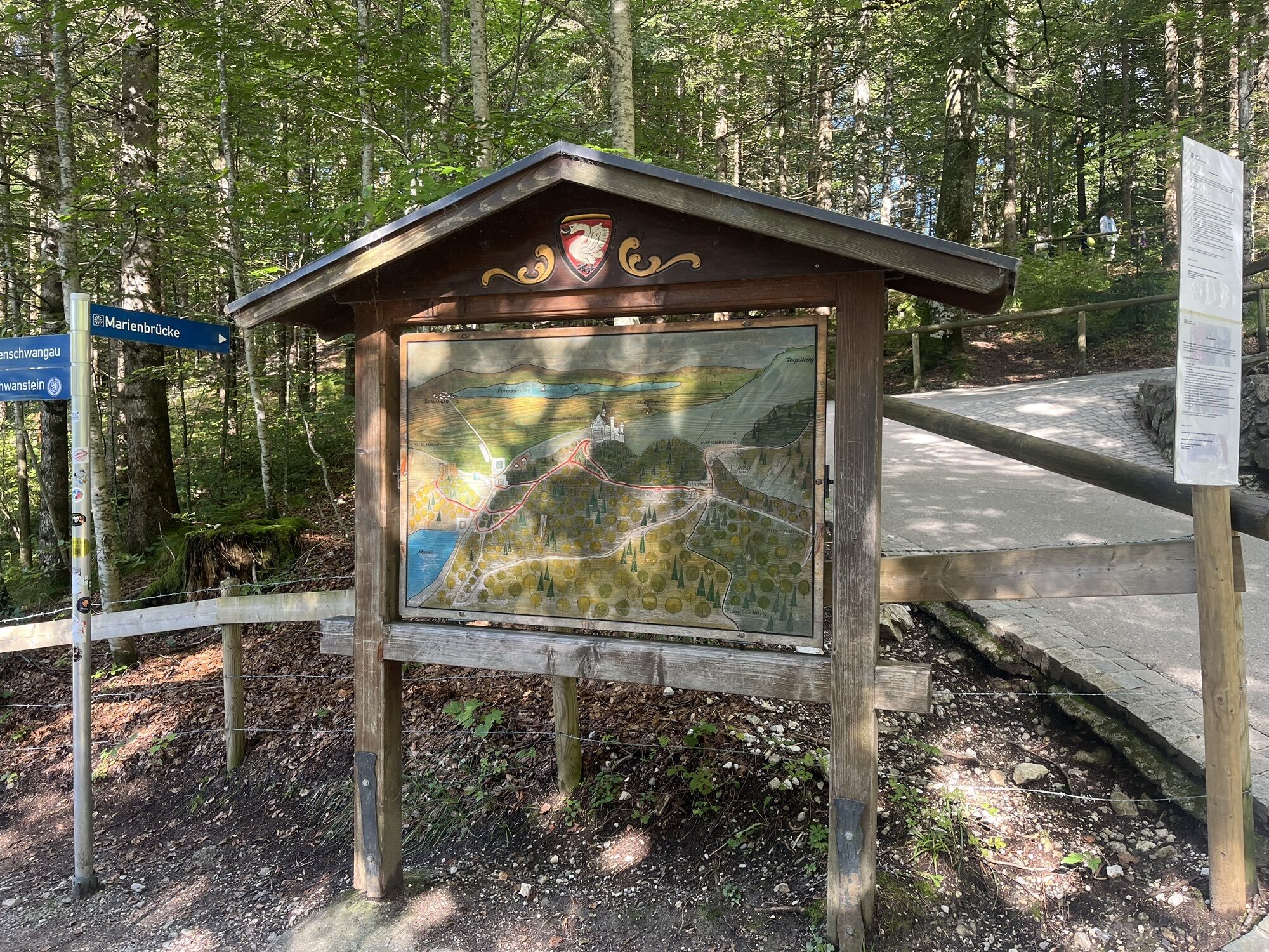
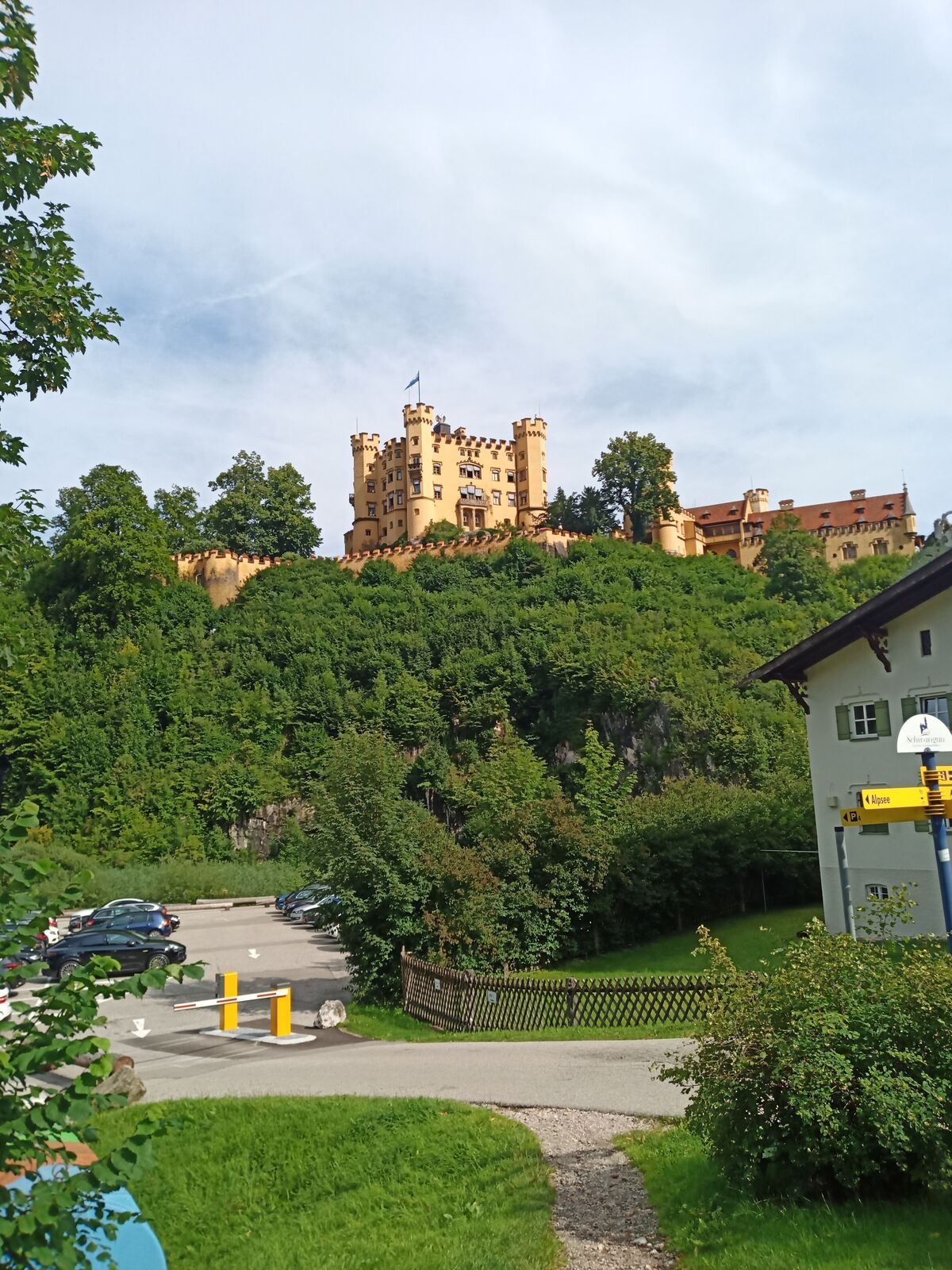
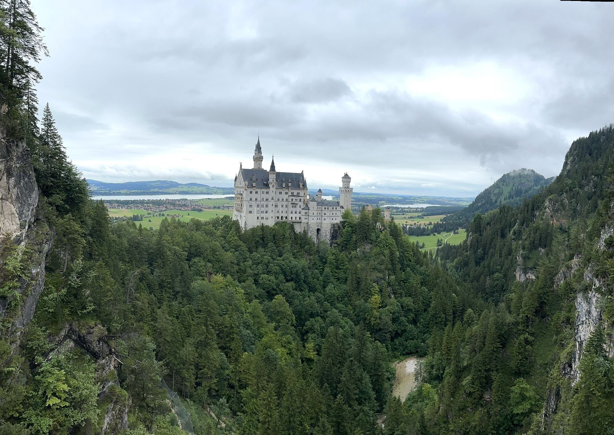
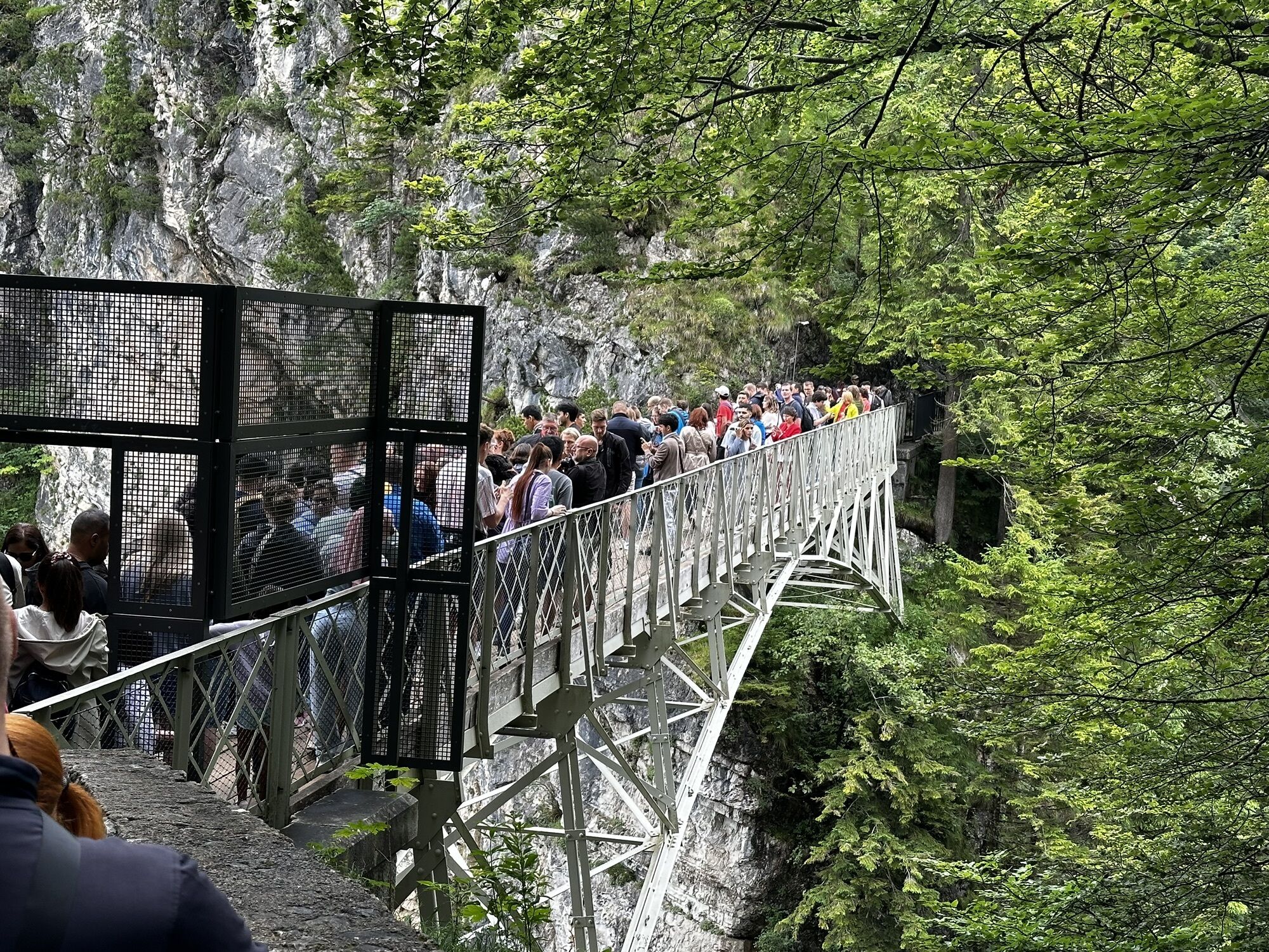
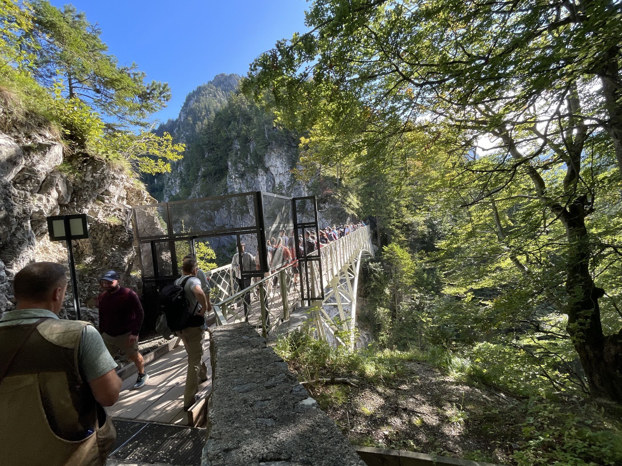
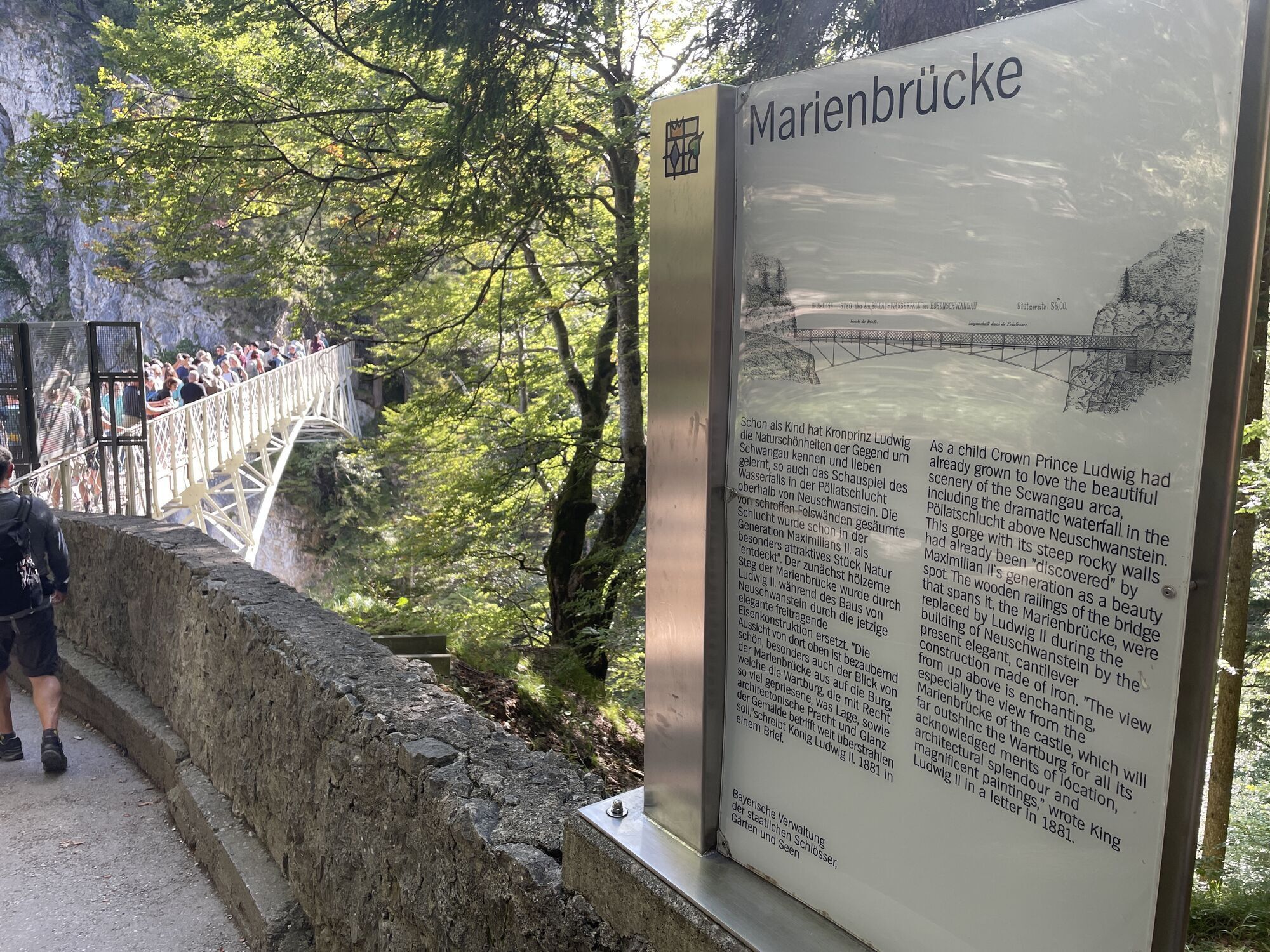
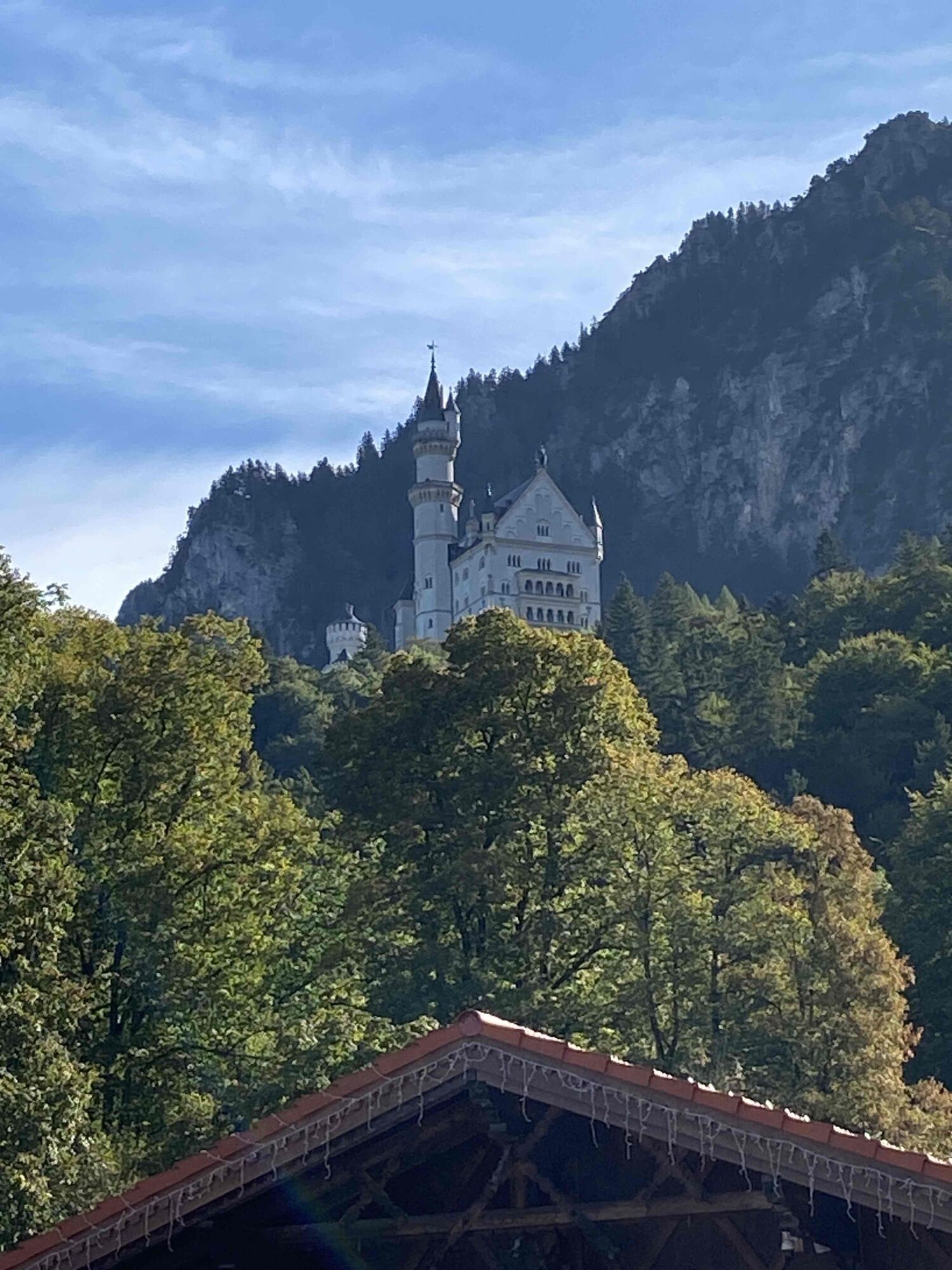
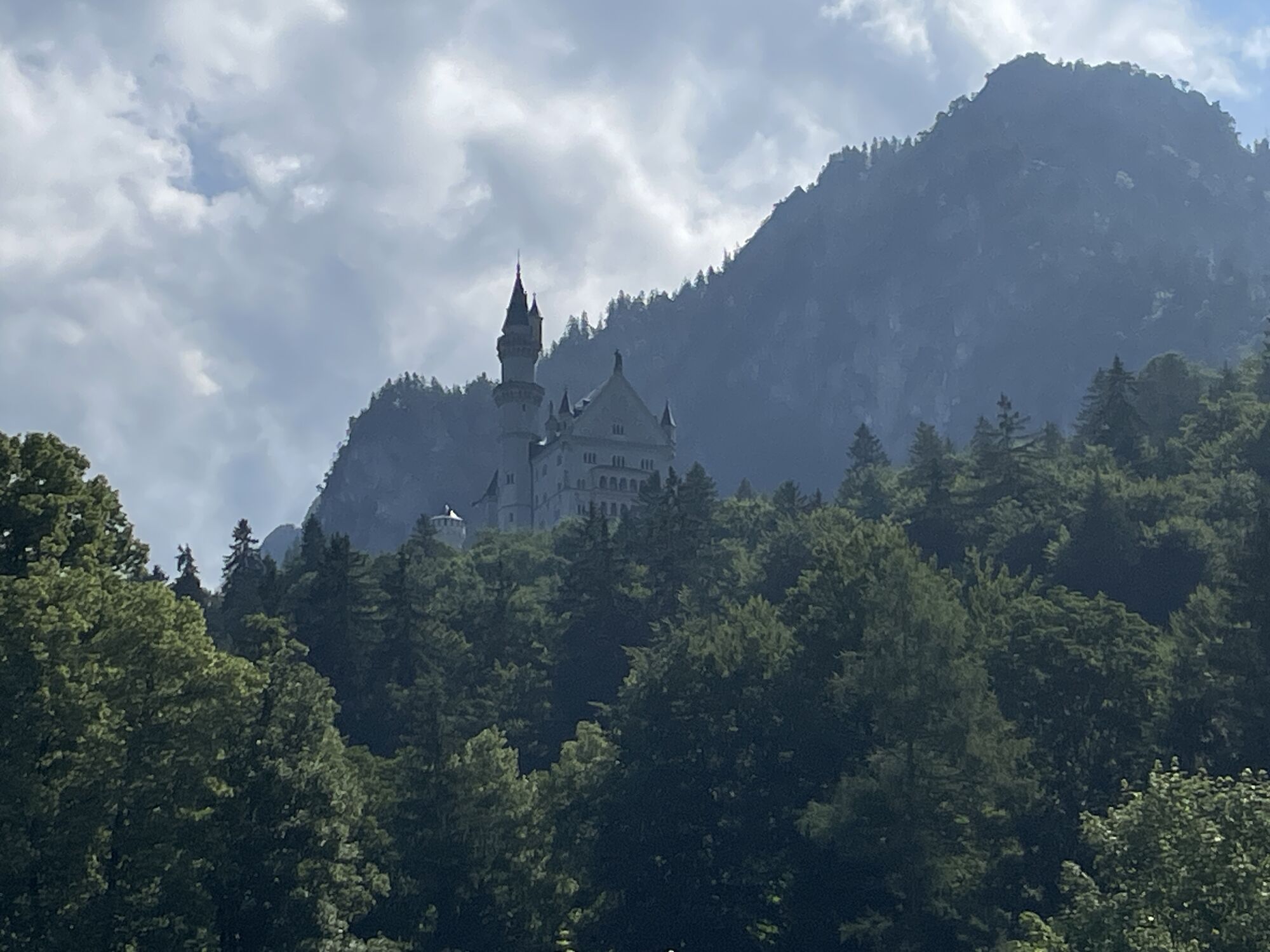
From the parking lot in Hohenschwangau, hike along Neuschwanstein street towards Neuschwanstein Castle and after a short ascent turn right onto the path Rodelbahn/Youth. Once you reach "Youth", it's worth taking a short detour to a viewpoint. Just follow Bleckenau street for about 100 m; on the left side you will have a wonderful view of Marienbrücke with Neuschwanstein Castle in the background. Please note the regular bus traffic on the narrow street. Then go up the Water pipeline trail/Brunnstubenweg into the Bleckenau valley and follow the signs for Hunter's hut, which can be reached from the mountain inn Bleckenau in about 1 hour. Now is the time for a well-deserved longer break. At the Hunter's hut, you can unpack your snack to refuel and enjoy the view in the small valley. Return is via the forest trail to the mountain inn Bleckenau and then down Bleckenau street into the valley to the starting point. Or alternatively take the bus from the mountain inn Bleckenau.
Da
Sturdy footwear, camera, mobile phone, snack and drinks
Coming from the B17, turn towards Hohenschwangau/Königsschlösser.
Paid parking lots (P1 - P4) available in Hohenschwangau (starting point).
At www.schwangau.de/tisch you will find numerous dining options and the possibility to make table reservations. The Hunter's hut is currently not serving food.
With the Schwangau hiking pass for young and old hiking enthusiasts, you now have the opportunity to discover our unique natural landscape on your own. As proof of your achievement, you will find a small wooden box with a punching tool on the respective routes.
Simply punch the appropriate hiking route into your hiking pass and show it at the tourist information after completing enough hiking routes. There you will receive a hiking pin as a reward and the young hikers a hiking certificate.
The printed Schwangau hiking pass is available free of charge at the Schwangau Tourist Information, the info point in Hohenschwangau, the Tegelberg cable car valley station, and the forest experience center Ziegelwies.
https://www.schwangau.de/aktivitaeten/wandern-und-klettern/wanderpass-schwangau/
Bring a small towel, because at the Hunter's hut you can wonderfully dip your feet in the stream!
Spletne kamere s turneje
-
Talstation
-
Tegelbergbahn Bergstation
-
Tegelberghaus
-
Füssen - Wellness Hotel Sommer
-
Segelclub Füssen
-
Tegelbergbahn Bergstation
-
Tegelbergbahn Bergstation
-
Tegelbergbahn Bergstation
-
Tegelbergbahn Bergstation
-
Tegelbergbahn Bergstation
-
Schloss Hohenschwangau
-
Schloss Hohenschwangau
-
Schloss Hohenschwangau
-
Schloss Hohenschwangau
-
Schloss Hohenschwangau
-
Schloss Hohenschwangau
-
Schloss Hohenschwangau
-
Ludwigs Festspielhaus Füssen
-
Ludwigs Festspielhaus Füssen
-
Ludwigs Festspielhaus Füssen
-
Ludwigs Festspielhaus Füssen
-
Ludwigs Festspielhaus Füssen
-
Ludwigs Festspielhaus Füssen
-
Forggensee
-
Tegelbergbahn Bergstation
-
Schwangau - Blick auf den Tegelberg
-
Hotel Hirsch
-
Hotel Hirsch
-
Hotel Hirsch
-
Hotel Hirsch
-
Hotel Hirsch
-
Hotel Hirsch
-
Hotel Hirsch
-
Tegelberg Landeplatz
-
Fernpassstraße B179
-
Fernpassstraße B179
-
Fernpassstraße B179
-
Fernpassstraße B179
-
Fernpassstraße B179
-
Fernpassstraße B179
Pridobite vpogled
Vedno v živo na mestu z več kot 9.500 spletnimi kamerami. bergfex Kot uporabnik Pro si lahko zdaj ogledate ustrezne spletne kamere za številne izlete v aplikaciji izleti iz. Tako si lahko neposredno ogledate trenutne razmere.

Priljubljeni izleti v okolici
-
4.8
Thaneller
srednjaPohodništvo 4.90 km -
4.8
Around Weißensee
svetlobaPohodništvo 6.12 km -
4.1
Drehhütte
svetlobaPohodništvo 3.34 km -
4.7
Yellow Wall Trail, Tegelberg (A)
srednjaVia ferrata 3.65 km -
4.5
Circular hike Dreh- and Rohrkopfhütte
svetlobaPohodništvo 8.76 km -
4.9
Tegelberg | Branderschrofen | Neuschwanstein
srednjaPohodništvo 14.8 km -
4.2
Cultural trail Schutzengelweg
srednjaPohodništvo 5.13 km -
3.6
Rundwanderung Plansee
srednjaPohodništvo 9.80 km -
4.5
Schönjöchl am Plansee
srednjaPohodništvo 7.21 km -
4.4
Schloß Neuschwanstein und Schwanensee Schwangau, Bayern
srednjaPohodništvo 9 km
Pohodništvo in sledenje


Ne zamudite ponudb in navdiha za naslednje počitnice
Vaš e-poštni naslov je bil dodan na poštni seznam.





