







Kohleralm hike
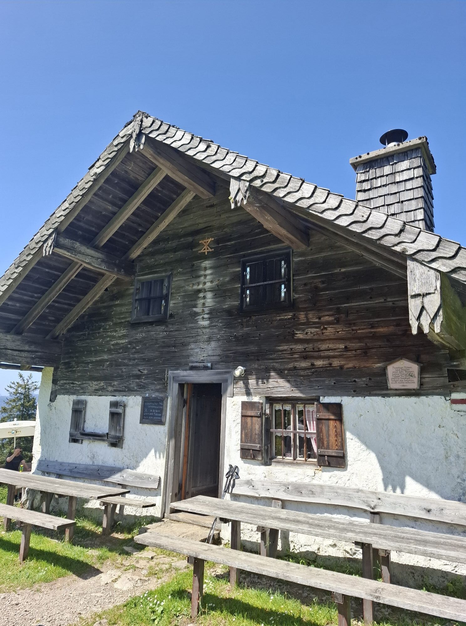
Path: Starting point Parkplatz Einsiedl. Pass to the right of St. Nikolaus Church and follow the field path to the edge of the forest. Take the trail (No. 23) through the forest to the forest road, proceed...
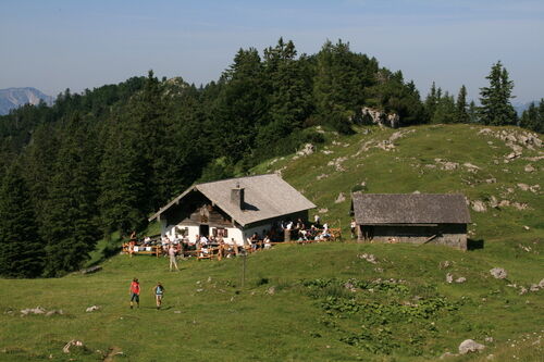
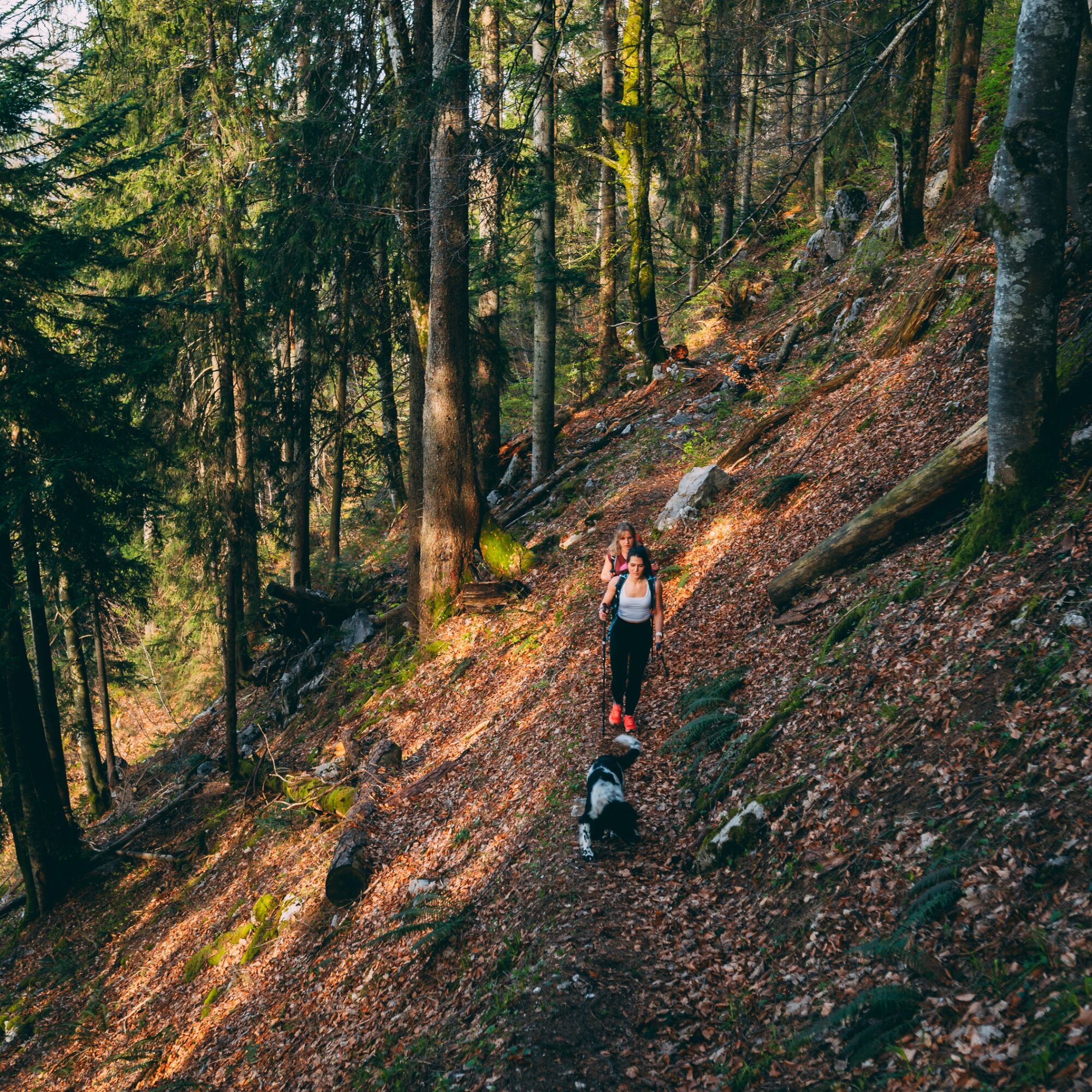
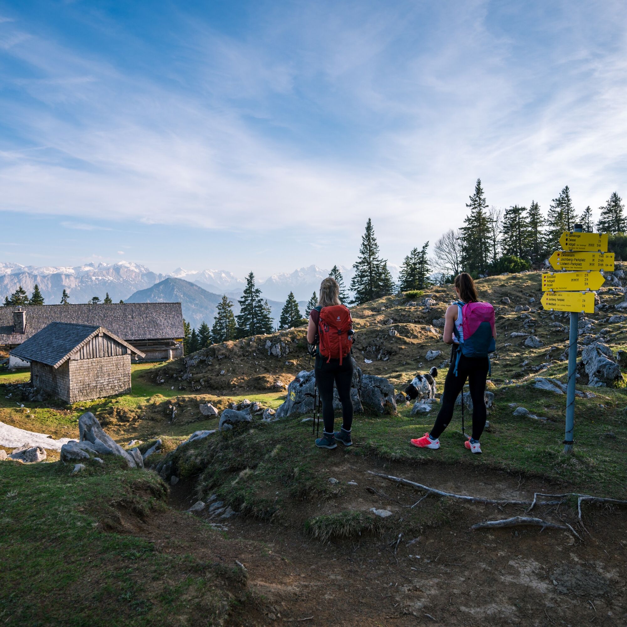
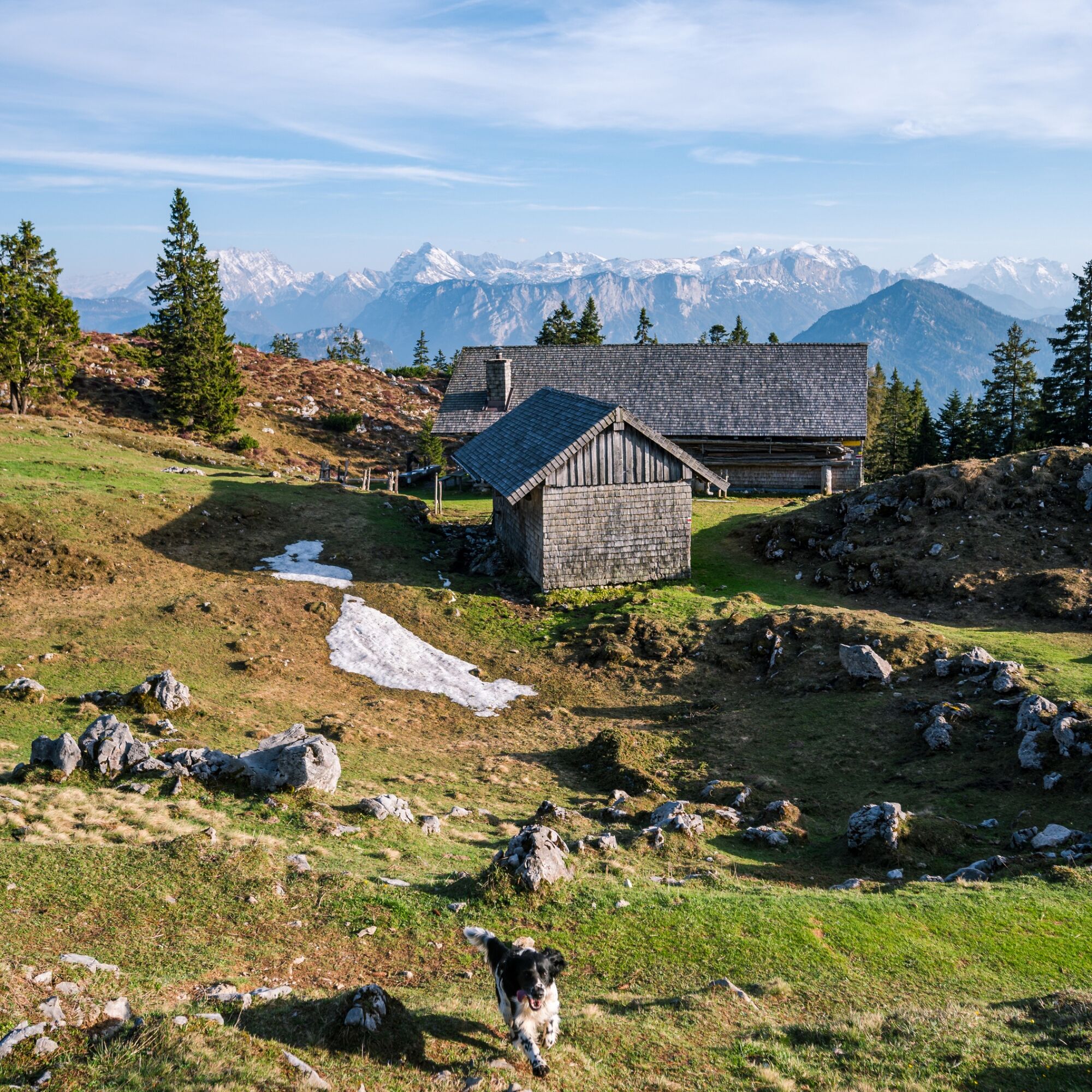
Path: Starting point Parkplatz Einsiedl. Pass to the right of St. Nikolaus Church and follow the field path to the edge of the forest. Take the trail (No. 23) through the forest to the forest road, proceed eastwards along the gently ascending forest road until the trail turns right to Kohleralm, follow the switchbacks and you will eventually reach the ridge behind which the extensive alpine pastures of Kohleralm (1450 m) lie. Return on the same path to the starting point Einsiedl. This path passes through significant wildlife areas! Rare and disturbance-sensitive animals have their habitat here. For this reason, the path is designated exclusively as a "summer hiking trail." From December until the end of March, we kindly ask you to leave the area undisturbed during the winter resting period for species protection reasons. Please respect nature! Special features:: View of Lake Chiemsee, Berchtesgadener Alps, Kaiser Mountains and Großglockner. The path to Kohleralm leads through shading mixed forest.


Inzell
 Pridobite vpogled Vedno v živo na mestu z več kot 9.500 spletnimi kamerami. bergfex Kot uporabnik Pro si lahko zdaj ogledate ustrezne spletne kamere za številne izlete v aplikaciji izleti iz. Tako si lahko neposredno ogledate trenutne razmere.
 Priljubljeni izleti v okolici
- 4.4
Staufen-Bergtour
srednjaPohodništvo 14.1 km - 4.5
Alpgarten-Rundweg
Pohodništvo 2.93 km - 3.9
Rundwanderweg zur Steinernen Agnes
Pohodništvo 9 km - 4.9
Dötzenkopf Rundweg
srednjaPohodništvo 6.95 km - 4.9
Frillensee round from Adlgaß
Pohodništvo 5.82 km - 4.7
Pidinger Klettersteig mit Umweg im Abstieg
težkoVia ferrata 15.0 km - 4.7
Jochberg - Zwiesel
svetlobaPohodništvo 4.12 km - 4.4
Unternberg
svetlobaPohodništvo 9.20 km - 4.4
Hochstaufen
težkoPohodništvo 7.59 km - 4.0
Aschauerklamm
Pohodništvo 15.1 km
Pohodništvo in sledenje


Ne zamudite ponudb in navdiha za naslednje počitnice
Vaš e-poštni naslov je bil dodan na poštni seznam.





