Hochstaufen Traverse
Pohodništvo
5.0
Navigacija po spletni strani
Navigacija po spletni strani
Pridobite to turo v svoj mobilni telefon
Hochstaufen Traverse
Pohodništvo
17.18
km
Skenirajte kodo QR in začnite navigacijo v aplikaciji bergfex.

Pohodništvo in sledenje


Hochstaufen Traverse
Pohodništvo
5,0
Razdalja
17.18
km
Trajanje
07:17
h
Ascent
1,374
hm
Morska gladina
770 -
1,777
m
Prenos skladbe
Hochstaufen Traverse
Pohodništvo
17.18
km
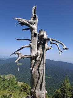
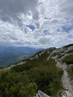
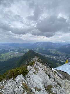
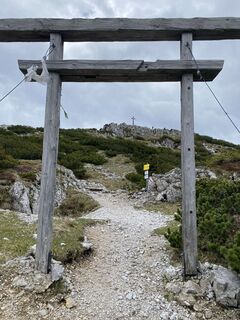
Fotografije naših uporabnikov
-

 © Ralf HubrichUstvarjeno na 06.04.2026
 -
 © Ralf HubrichUstvarjeno na 06.04.2026
 -
 © micsunel ciocirtauUstvarjeno na 05.04.2026
 -
 © micsunel ciocirtauUstvarjeno na 05.04.2026
 -

 © Benedikt NökerUstvarjeno na 13.12.2025
 -
 © Benedikt NökerUstvarjeno na 13.12.2025
 -
 © Benedikt NökerUstvarjeno na 13.12.2025
 -
 © Benedikt NökerUstvarjeno na 13.12.2025
 -
 © Benedikt NökerUstvarjeno na 13.12.2025
 -
 © Jerven Hulleman 1Ustvarjeno na 19.10.2025
 -
 © Jerven Hulleman 1Ustvarjeno na 19.10.2025
 -
 © Jerven Hulleman 1Ustvarjeno na 19.10.2025
 -
 © Jerven Hulleman 1Ustvarjeno na 19.10.2025
 -
 © Jerven Hulleman 1Ustvarjeno na 19.10.2025
 -
 © Jerven Hulleman 1Ustvarjeno na 19.10.2025
 -
 © Jerven Hulleman 1Ustvarjeno na 19.10.2025
 -
 © Jerven Hulleman 1Ustvarjeno na 19.10.2025
 -
 © Jerven Hulleman 1Ustvarjeno na 19.10.2025
 -
 © Jerven Hulleman 1Ustvarjeno na 28.09.2025
 -
 © Jerven Hulleman 1Ustvarjeno na 28.09.2025
 -
 © Jerven Hulleman 1Ustvarjeno na 28.09.2025
 -

 © JohannesUstvarjeno na 20.09.2025
 -
 © Stefan17Ustvarjeno na 18.09.2025
 -
 © Stefan17Ustvarjeno na 18.09.2025
 -
 © Stefan17Ustvarjeno na 18.09.2025
 -
 © Stefan17Ustvarjeno na 18.09.2025
 -
 © Stefan17Ustvarjeno na 18.09.2025
 -
 © Stefan17Ustvarjeno na 18.09.2025
 -
 © Meinrad FögerUstvarjeno na 11.09.2025
 -

 © Sven KrieblinUstvarjeno na 27.07.2025
 -

 © Günther ForsthuberUstvarjeno na 15.06.2025
 -
 © Günther ForsthuberUstvarjeno na 15.06.2025
 -
 © Sven KrieblinUstvarjeno na 24.05.2025
 -
 © Sven KrieblinUstvarjeno na 24.05.2025
 -
 © Sven KrieblinUstvarjeno na 24.05.2025
 -
 © Sven KrieblinUstvarjeno na 24.05.2025
 -

 © Thomas RalserUstvarjeno na 10.05.2025
 -
 © Thomas RalserUstvarjeno na 10.05.2025
 -
 © Thomas RalserUstvarjeno na 10.05.2025
 -
 © Thomas RalserUstvarjeno na 10.05.2025
 -
 © Philipp Humer 1Ustvarjeno na 03.05.2025
 -
 © KurtUstvarjeno na 09.03.2025
 -
 © KurtUstvarjeno na 09.03.2025
 -
 © KurtUstvarjeno na 09.03.2025
 -
 © KurtUstvarjeno na 09.03.2025
 -
 © se_muckUstvarjeno na 02.03.2025
 -
 © se_muckUstvarjeno na 02.03.2025
 -
 © se_muckUstvarjeno na 02.03.2025
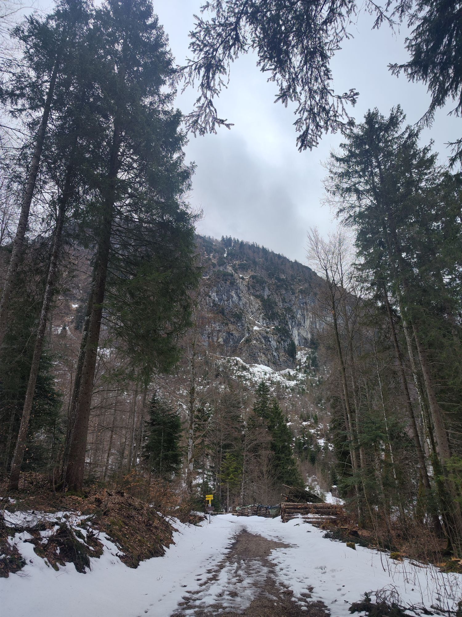
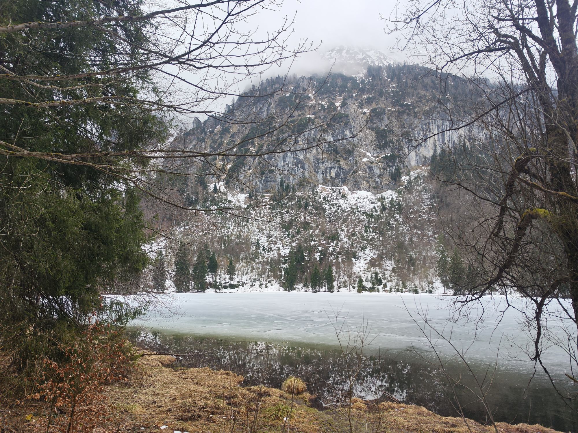
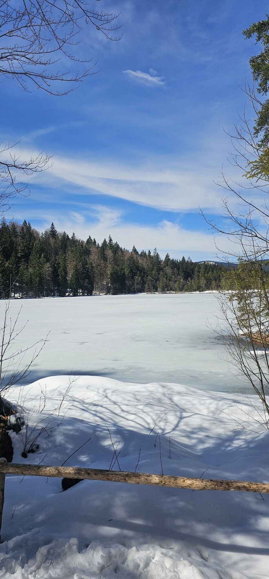


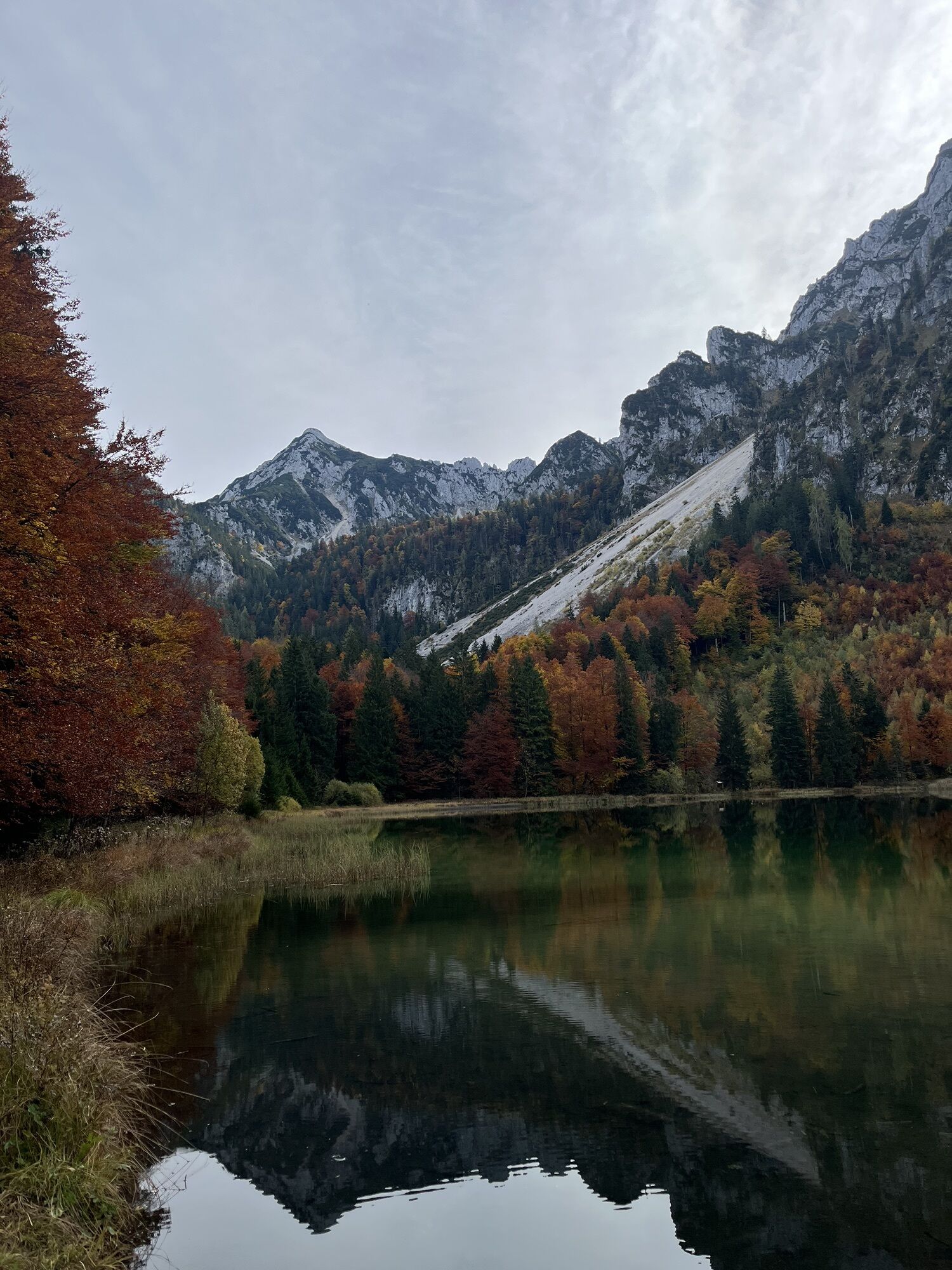
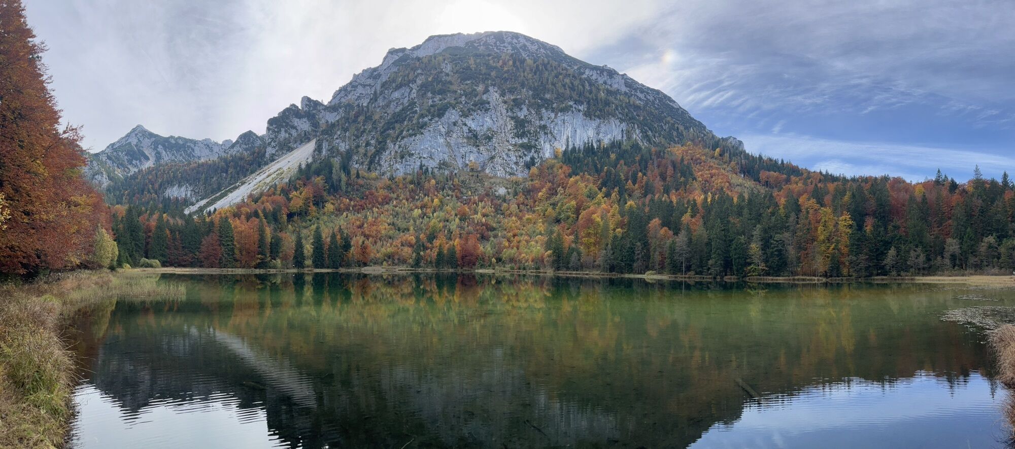

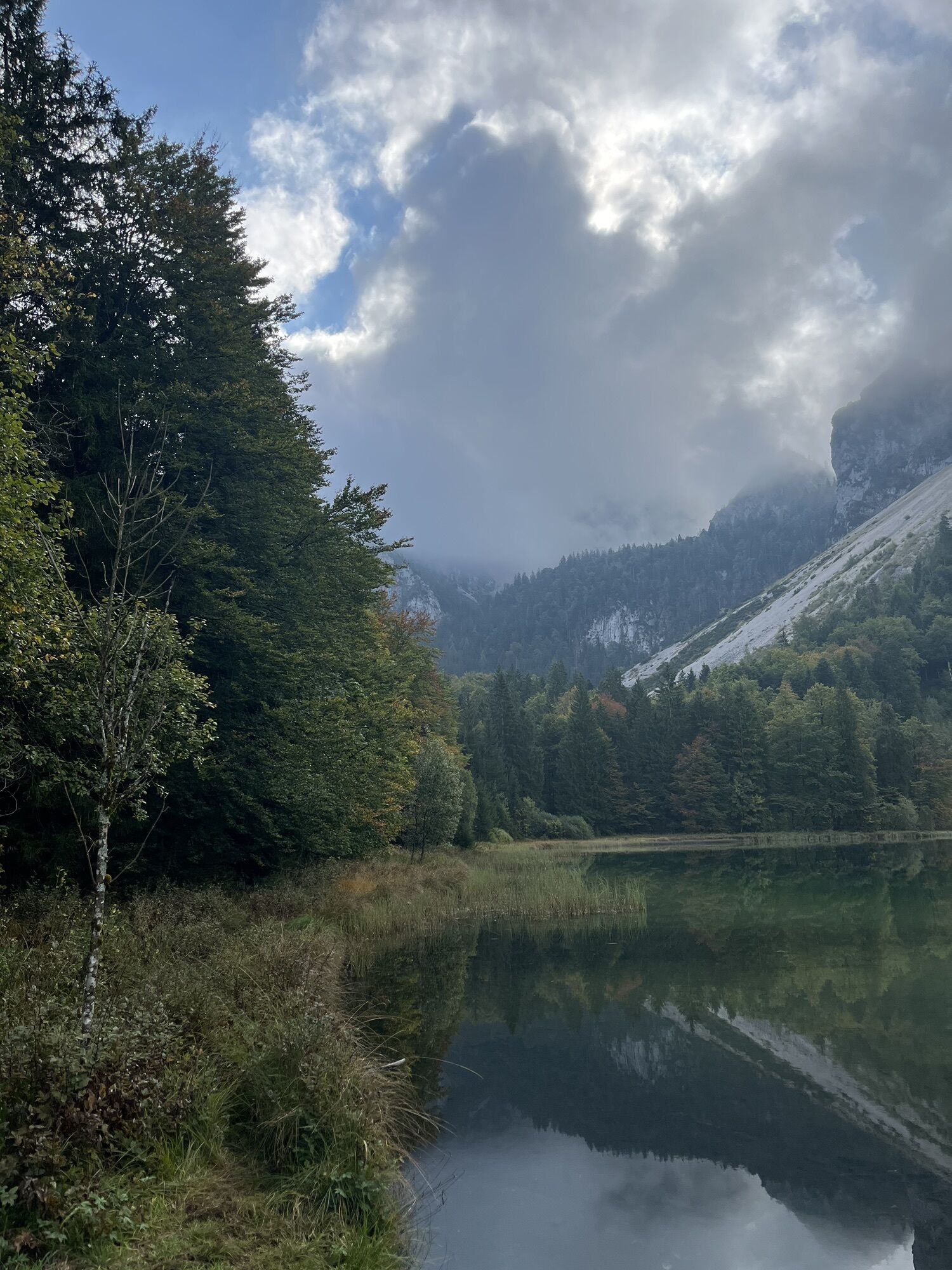
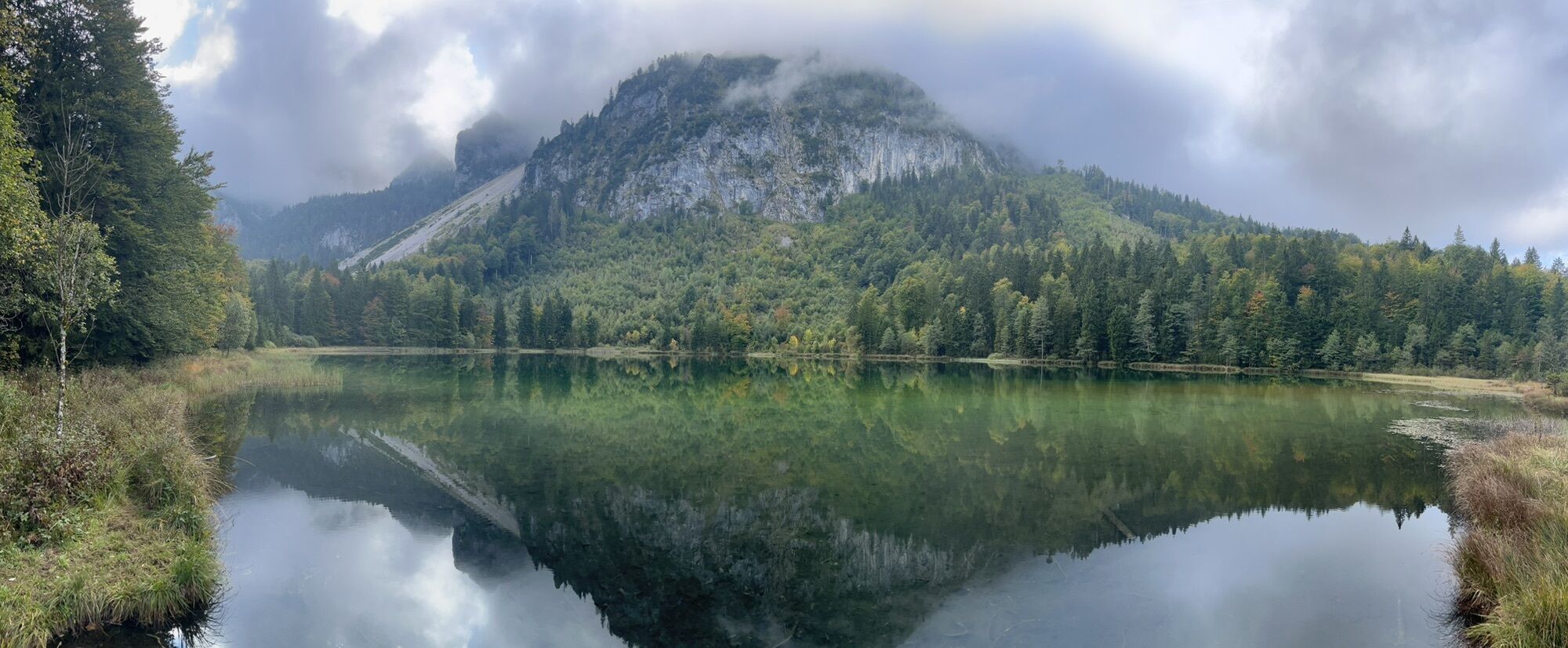


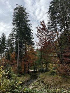
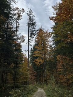
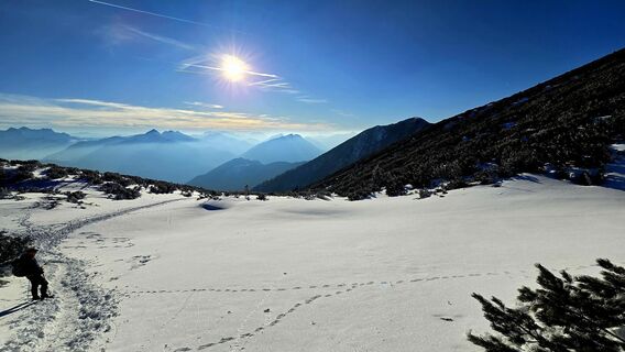
Route: We start from the parking lot in Adlgaß and walk eastwards on a hiking trail along the Frillenseebach until the forest road. From the south end of the lake, take a path to the forest road and after...
Opis
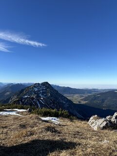
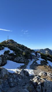
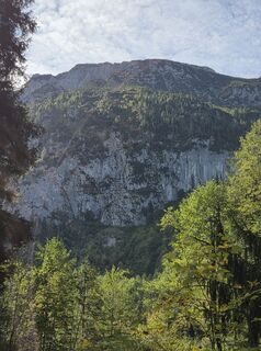
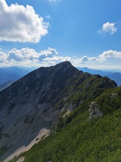
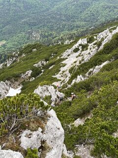
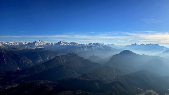
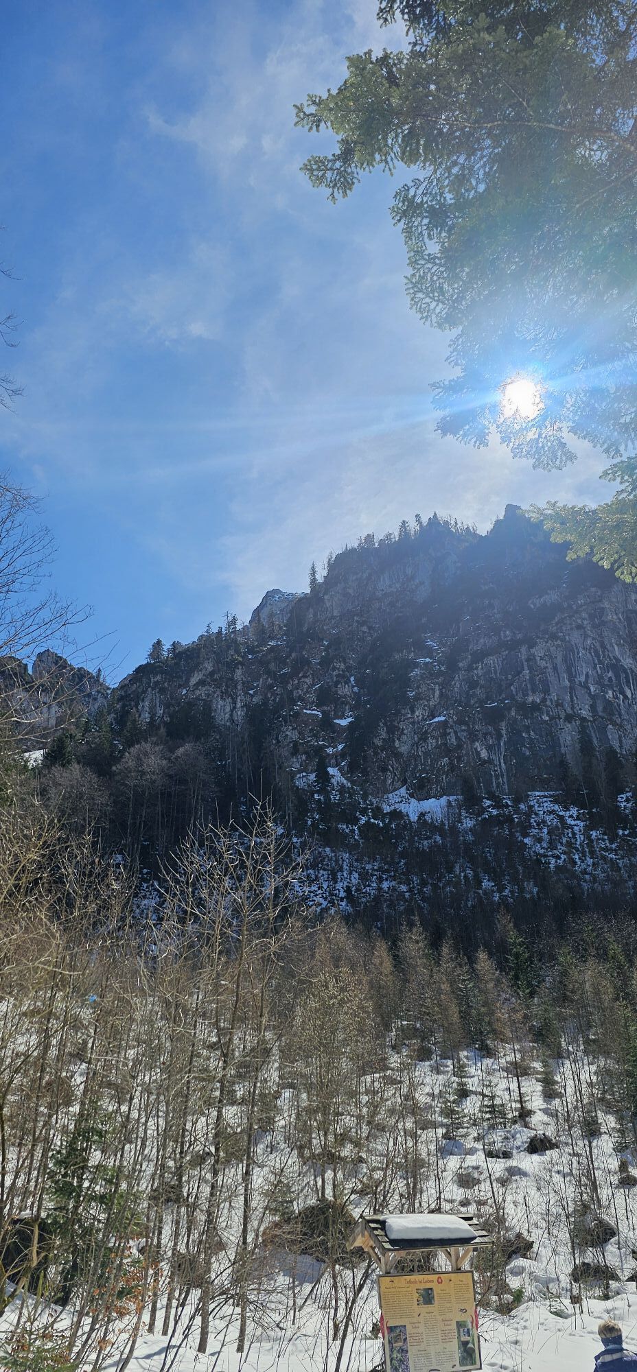
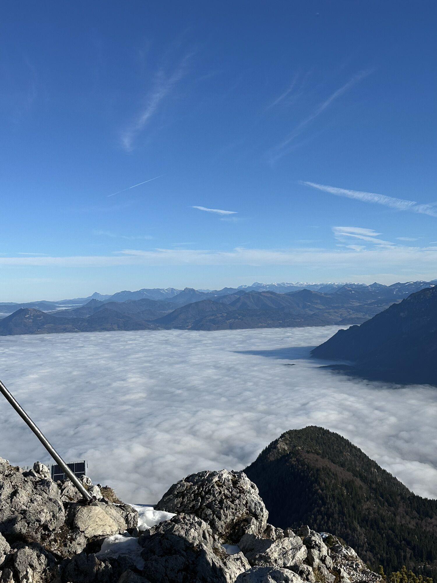
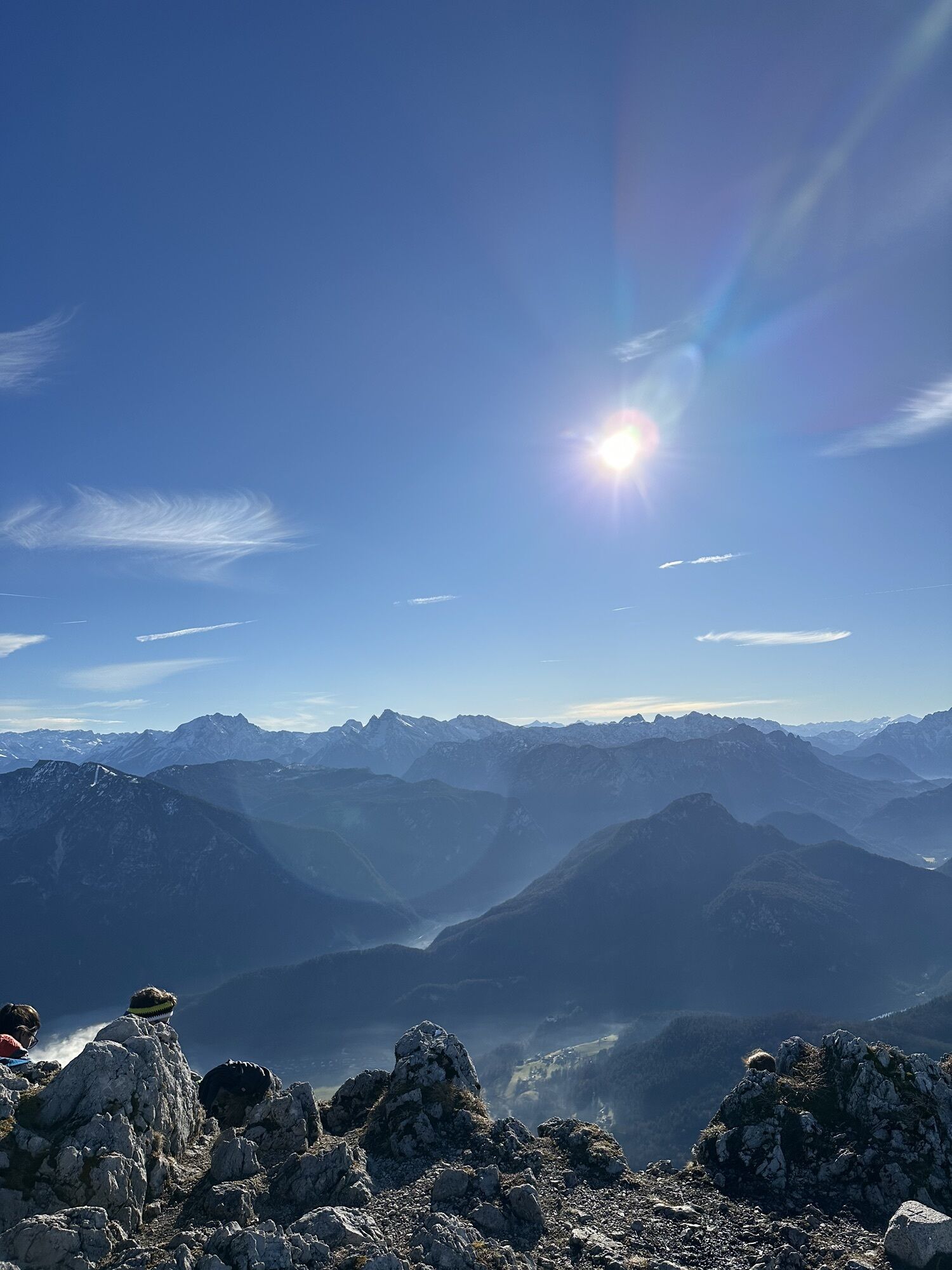
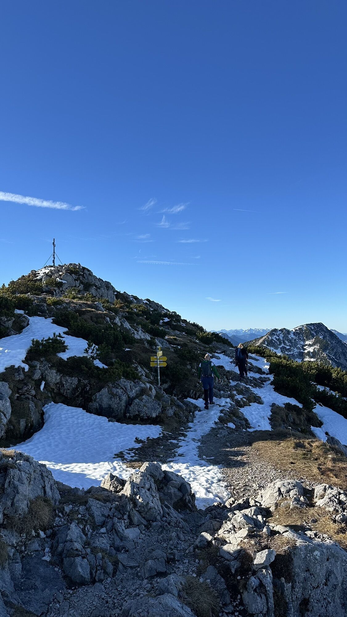
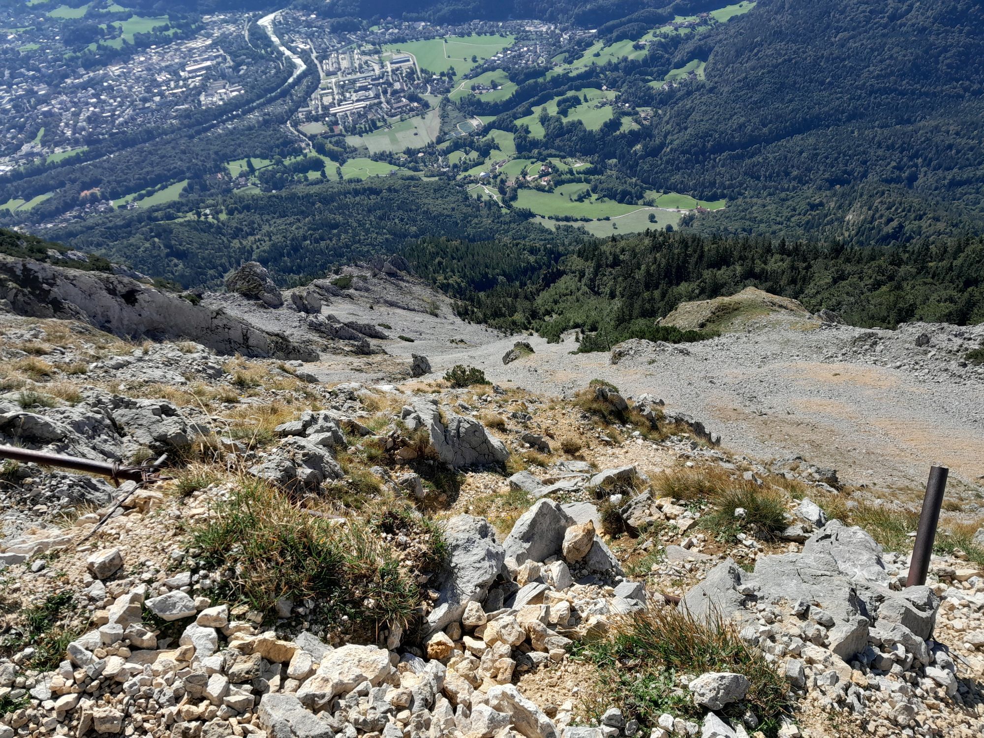
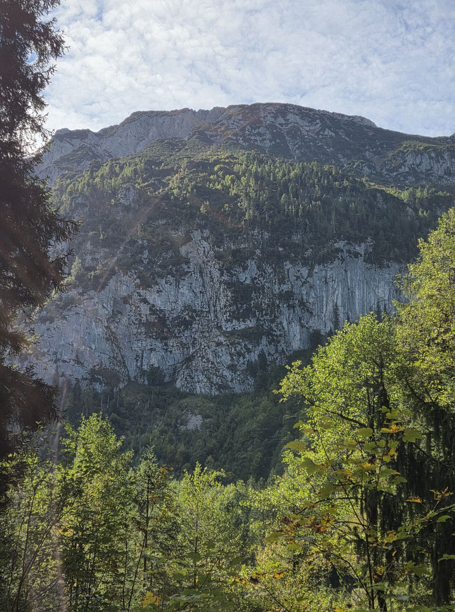
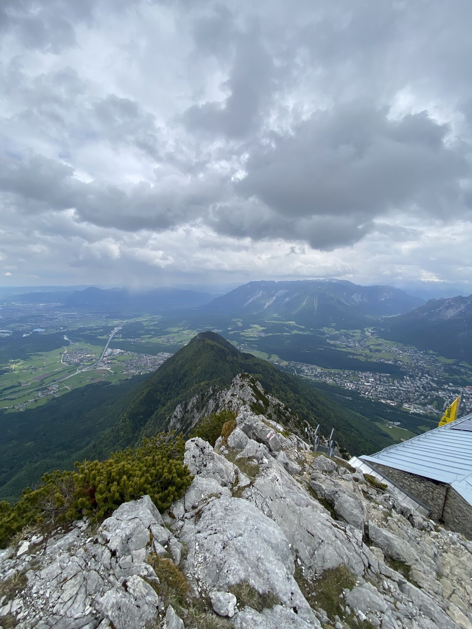
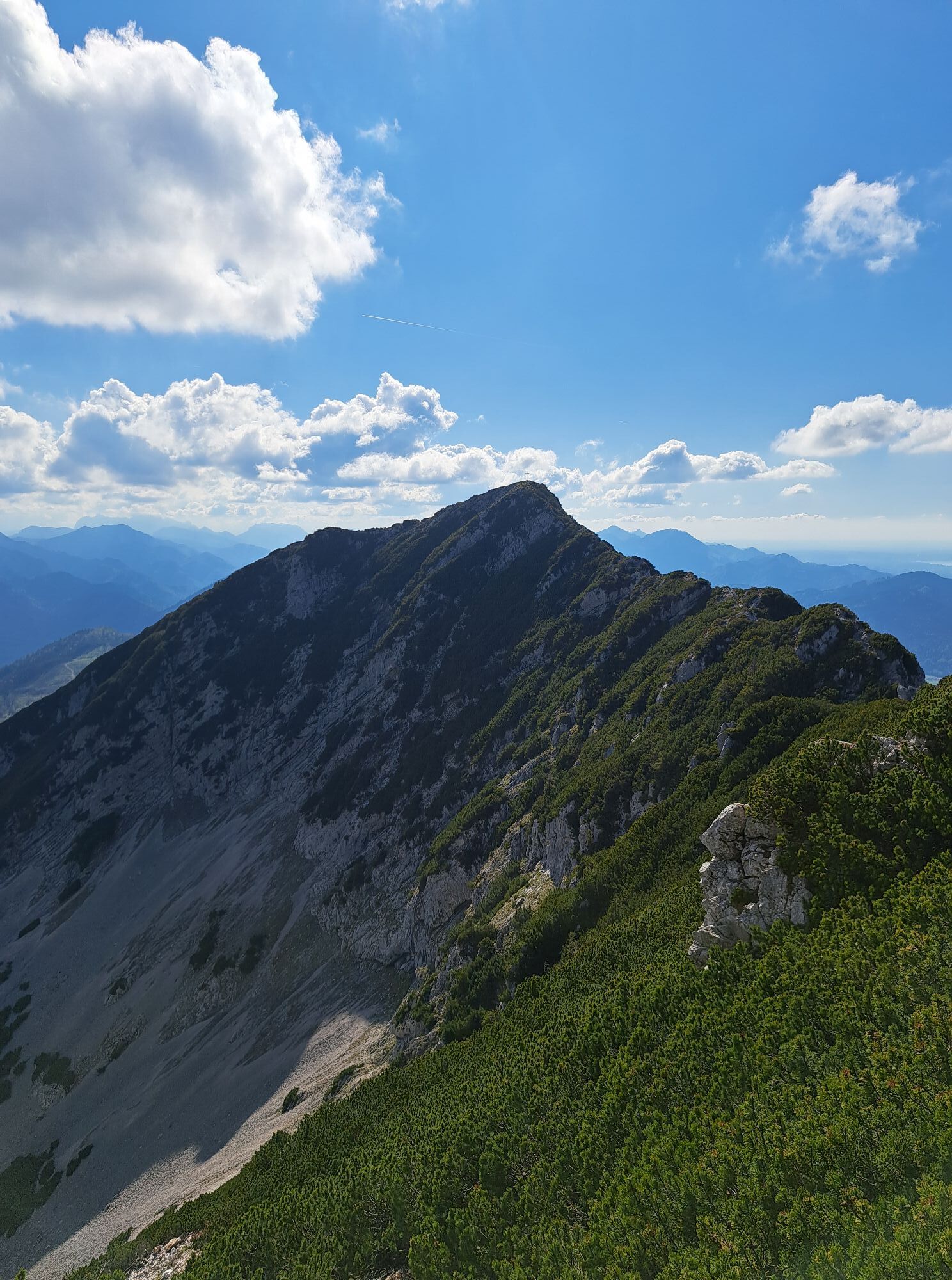
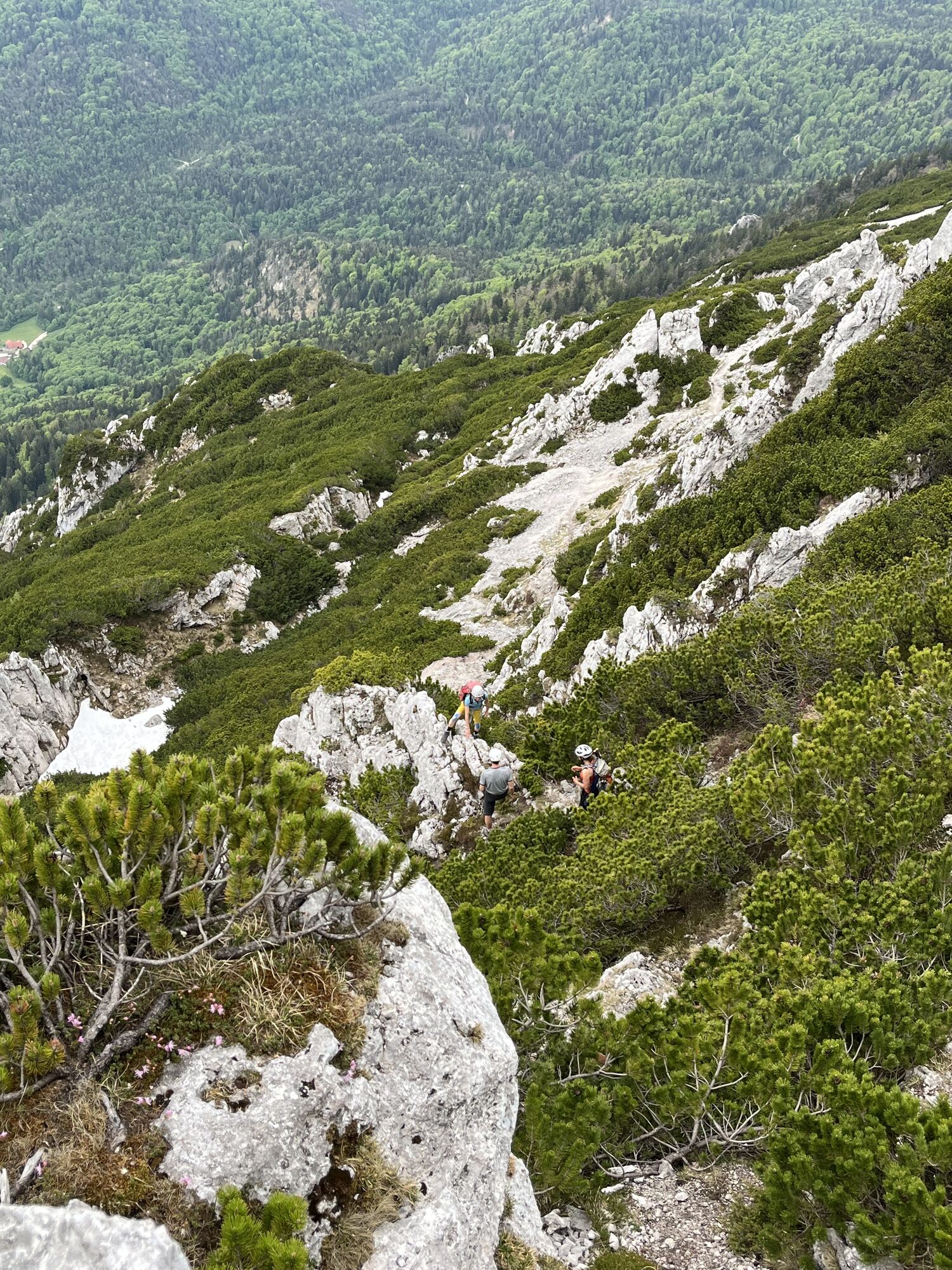
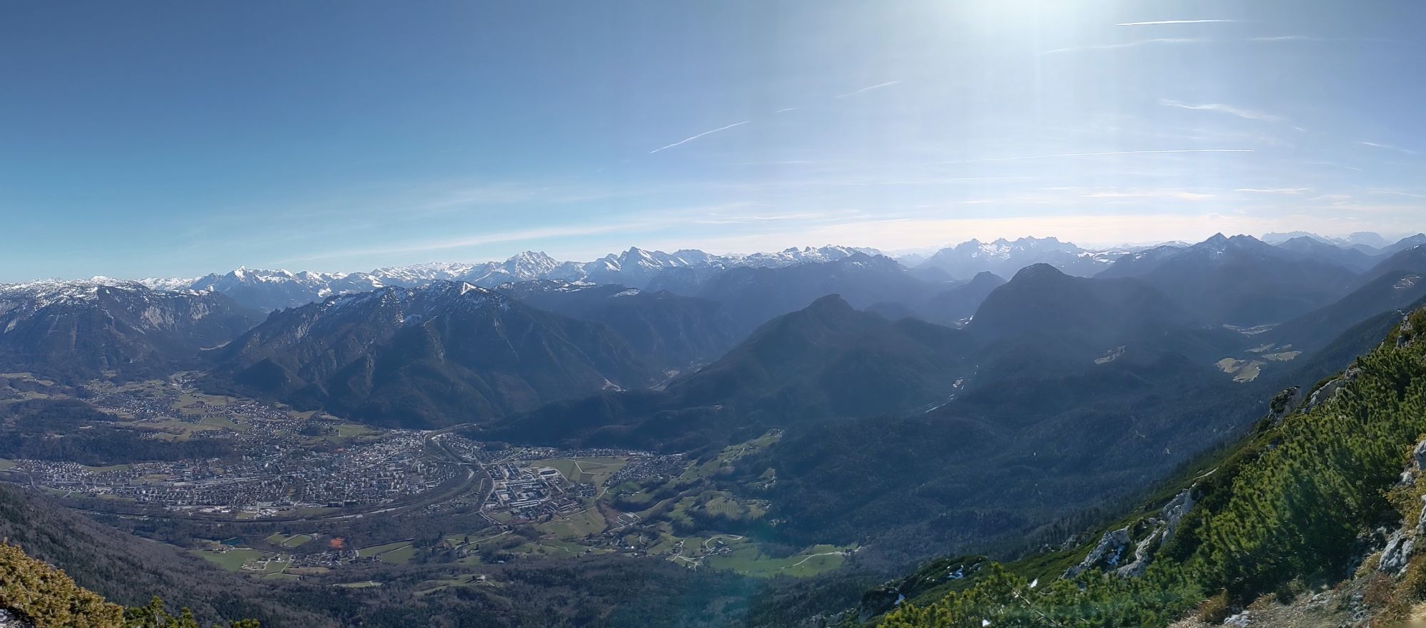
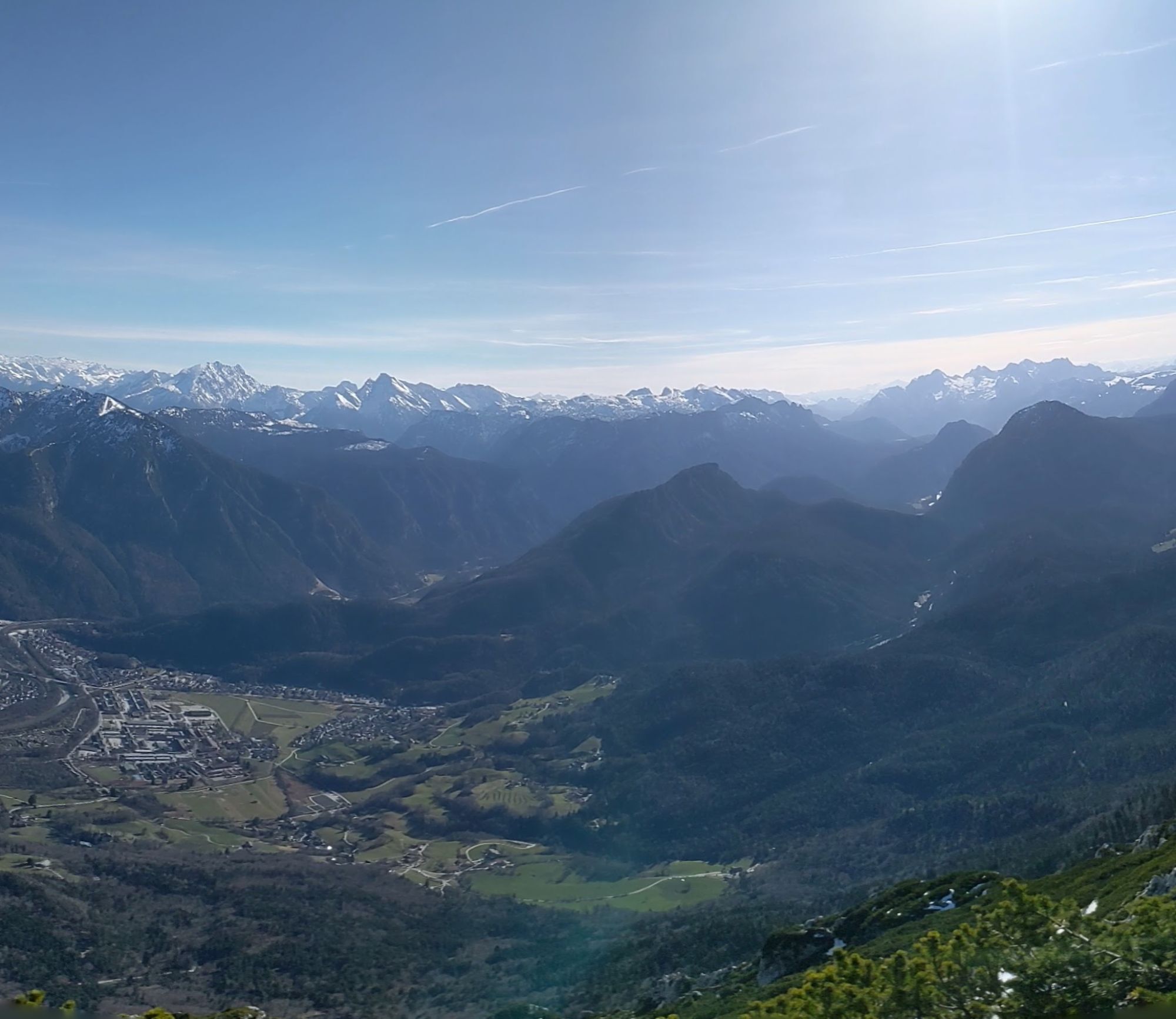
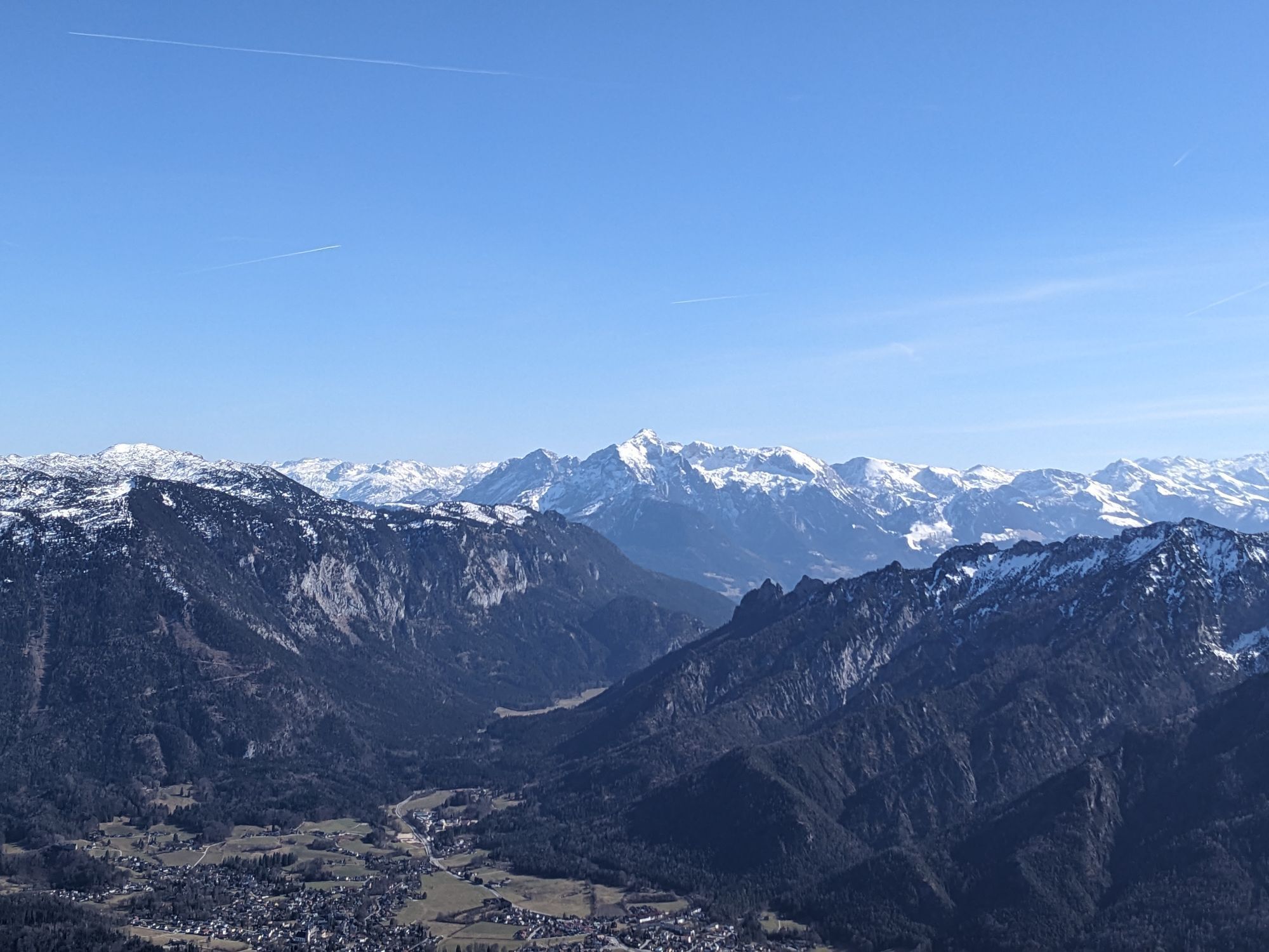
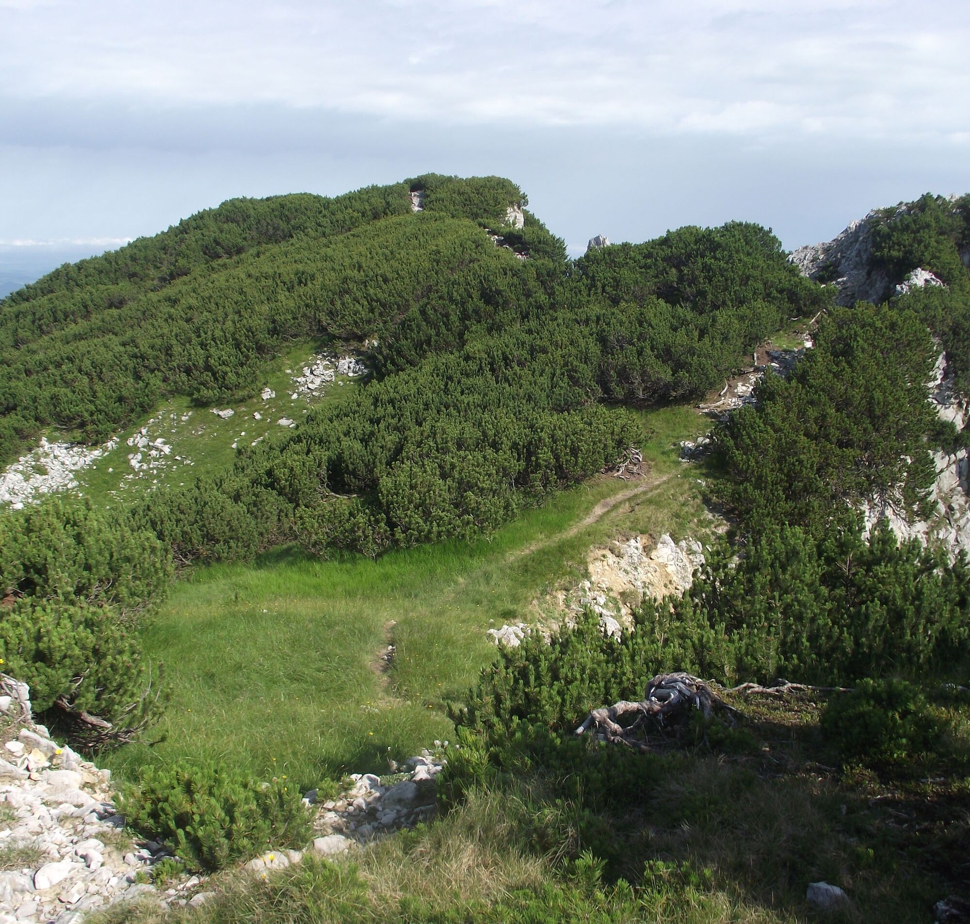
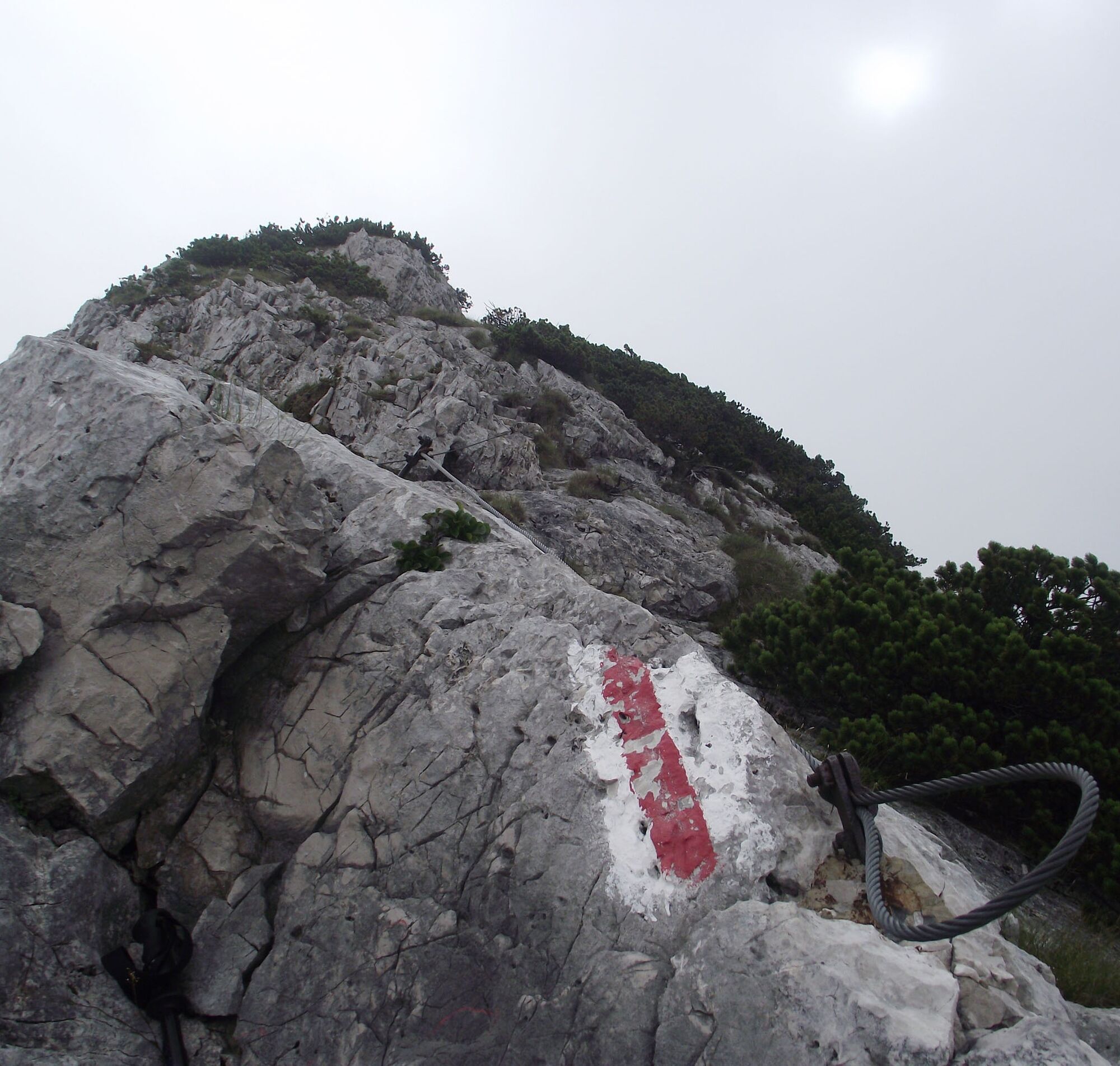
Route: We start from the parking lot in Adlgaß and walk eastwards on a hiking trail along the Frillenseebach until the forest road. From the south end of the lake, take a path to the forest road and after about one kilometer turn southeast. Follow a path always along the ridge to the Reichenhaller House (1750m), just below the Hochstaufen (1771m). Westwards along the ridge (wire ropes) over the Mittelstaufen (1657m), down into a notch (1460m) and partially somewhat exposed (wire ropes) to the Zwiesel (1782m). From Zwiesel descend to the Gamsknogel (1750m) and over the Kohleralm (1450m). Follow the forest road towards Einsiedl and then turn right to Adlgaß.
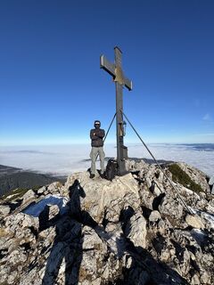
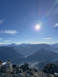
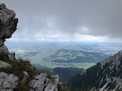
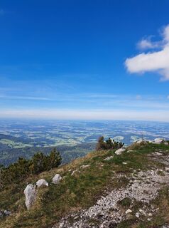
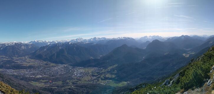
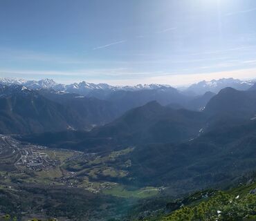
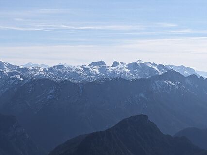
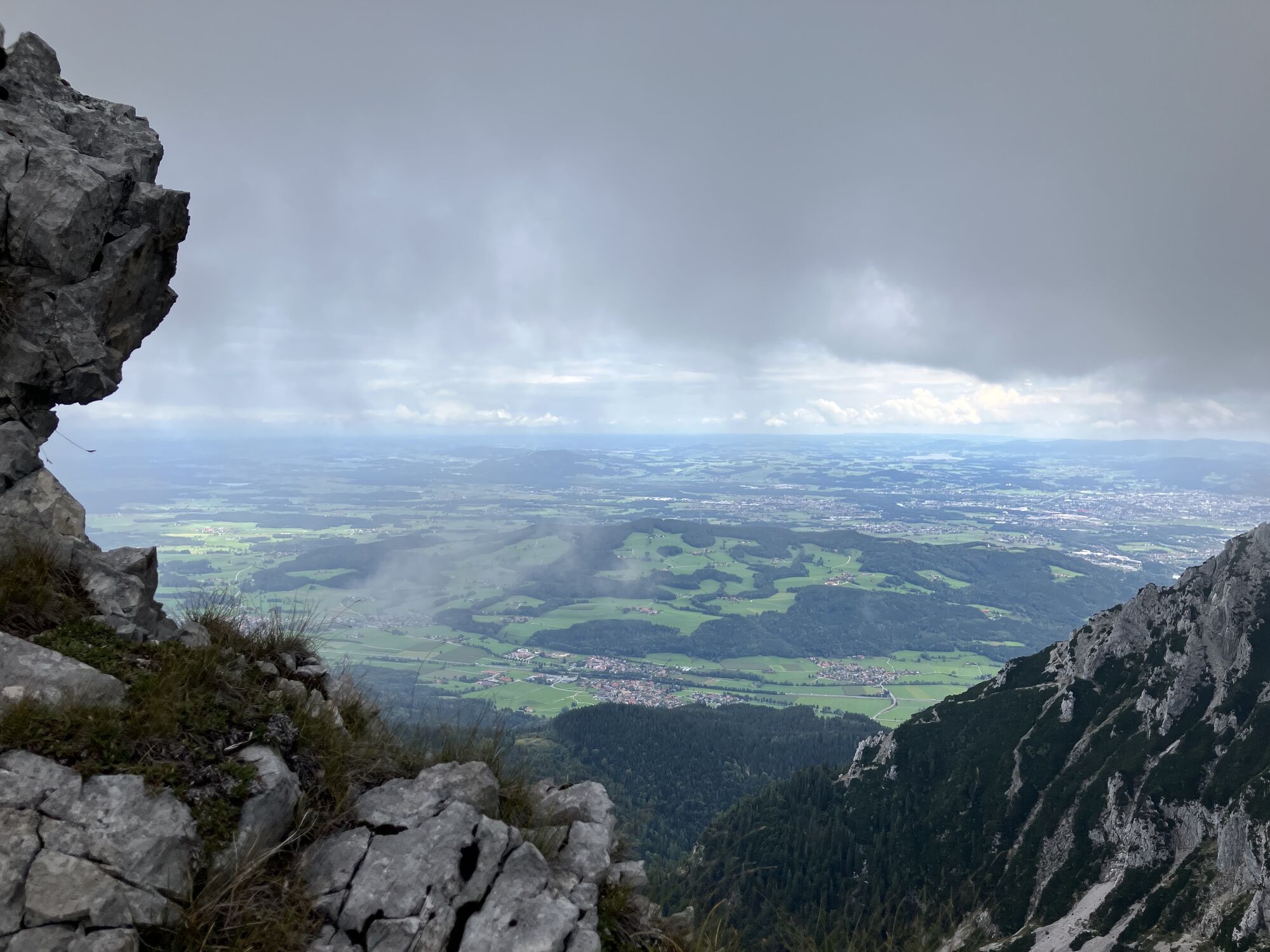
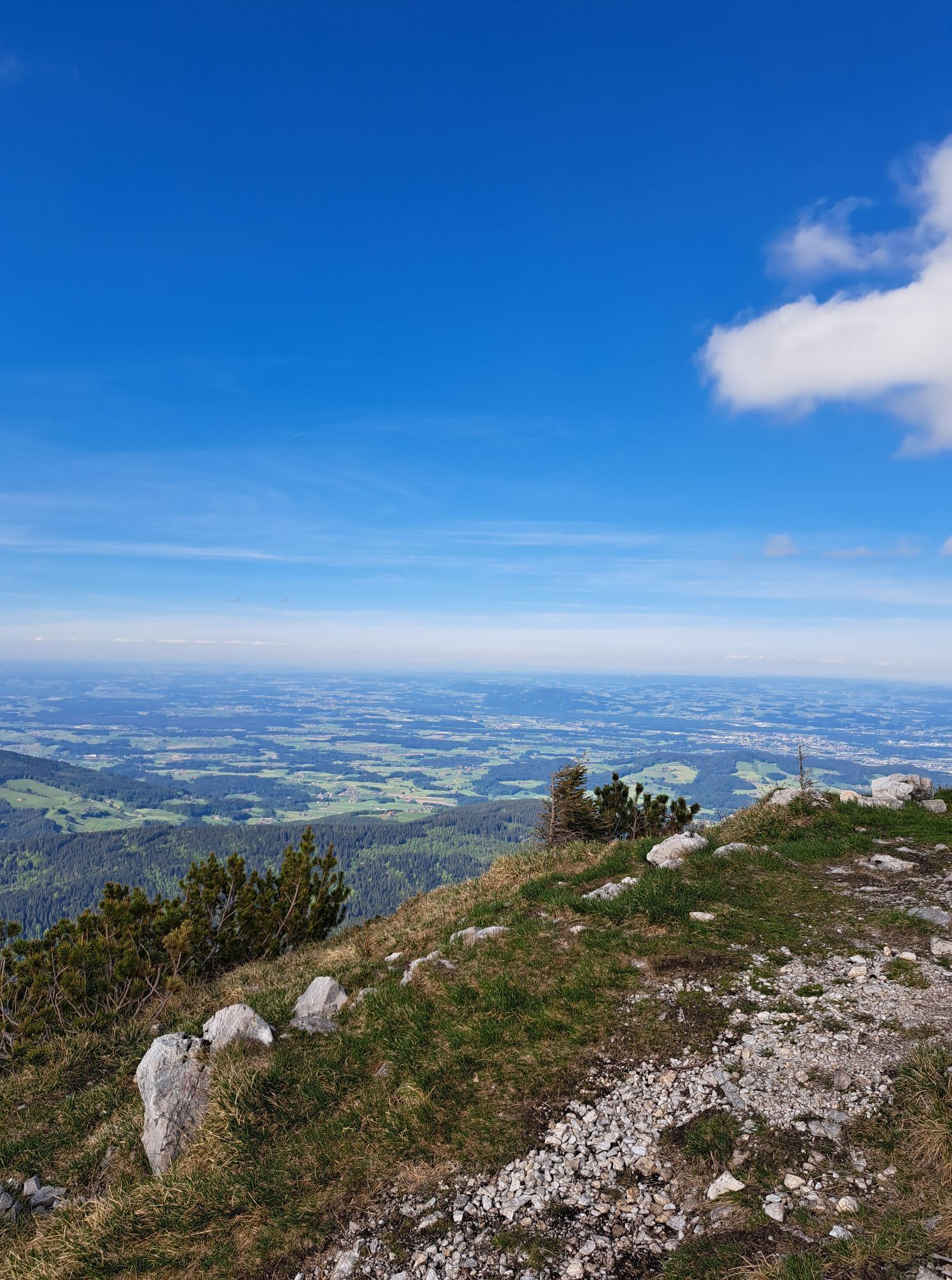
Special feature: On this challenging mountain tour, you cross 3 peaks and the magnificent mountain panorama rewards you for the effort.
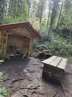
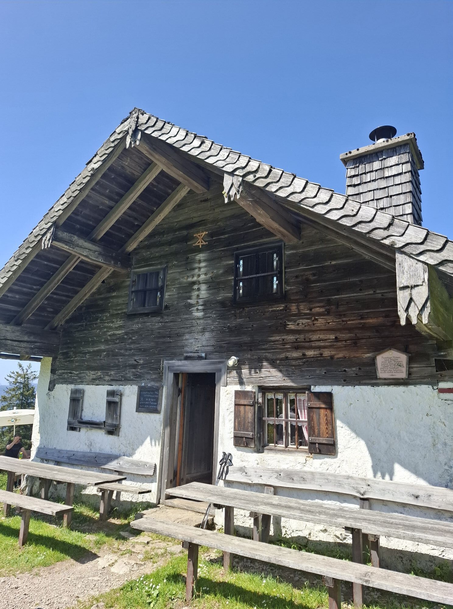
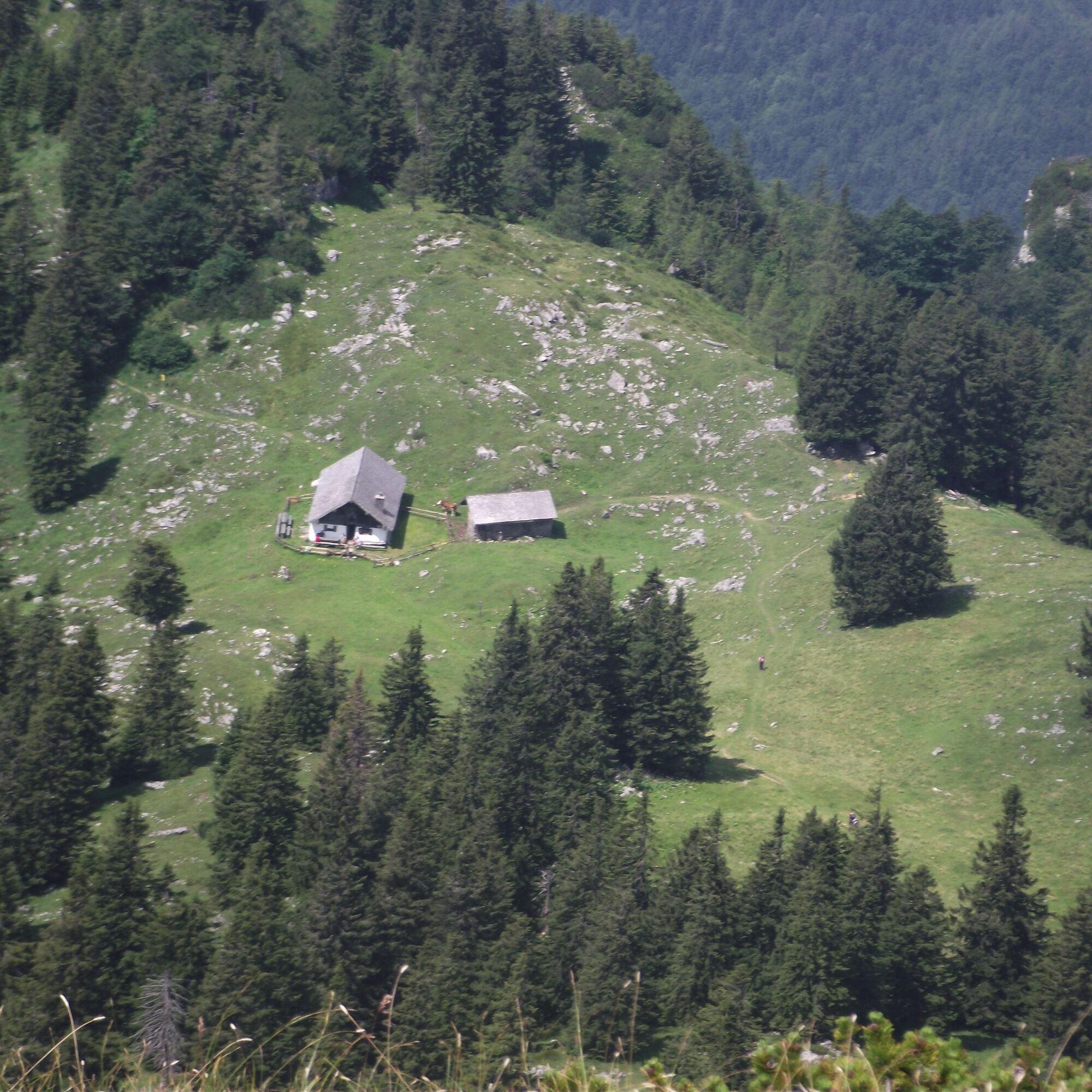
Refreshments: Gasthof Adlgaß, Reichenhaller House
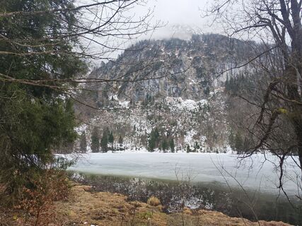
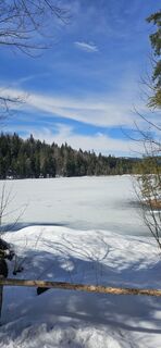
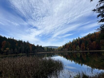
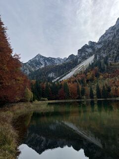
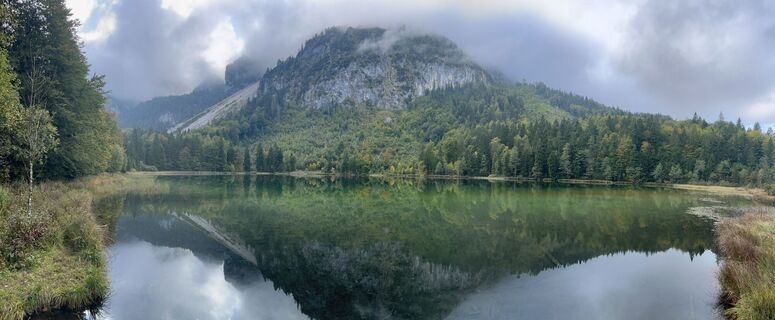
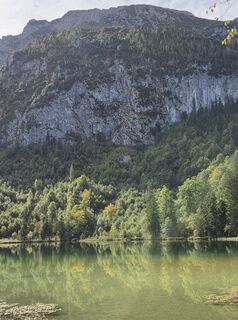
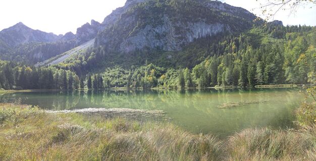
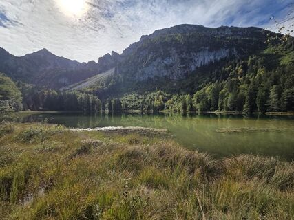
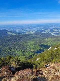
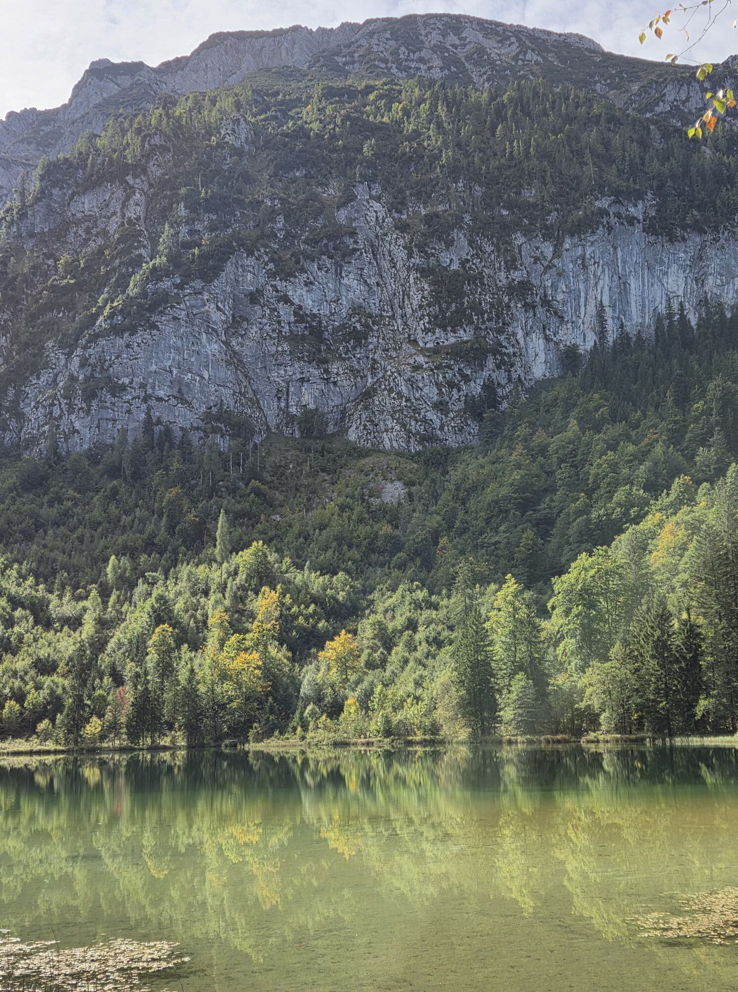
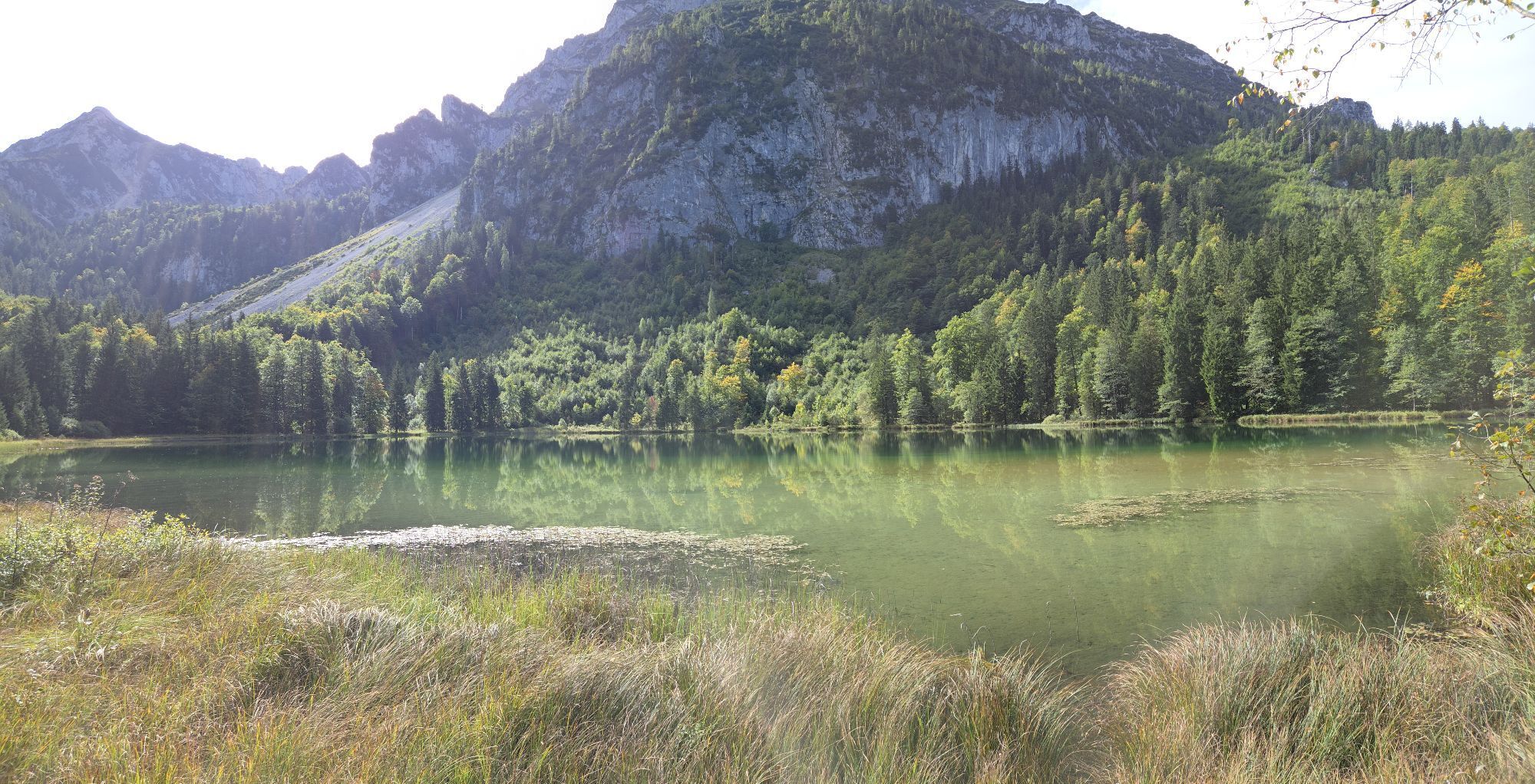
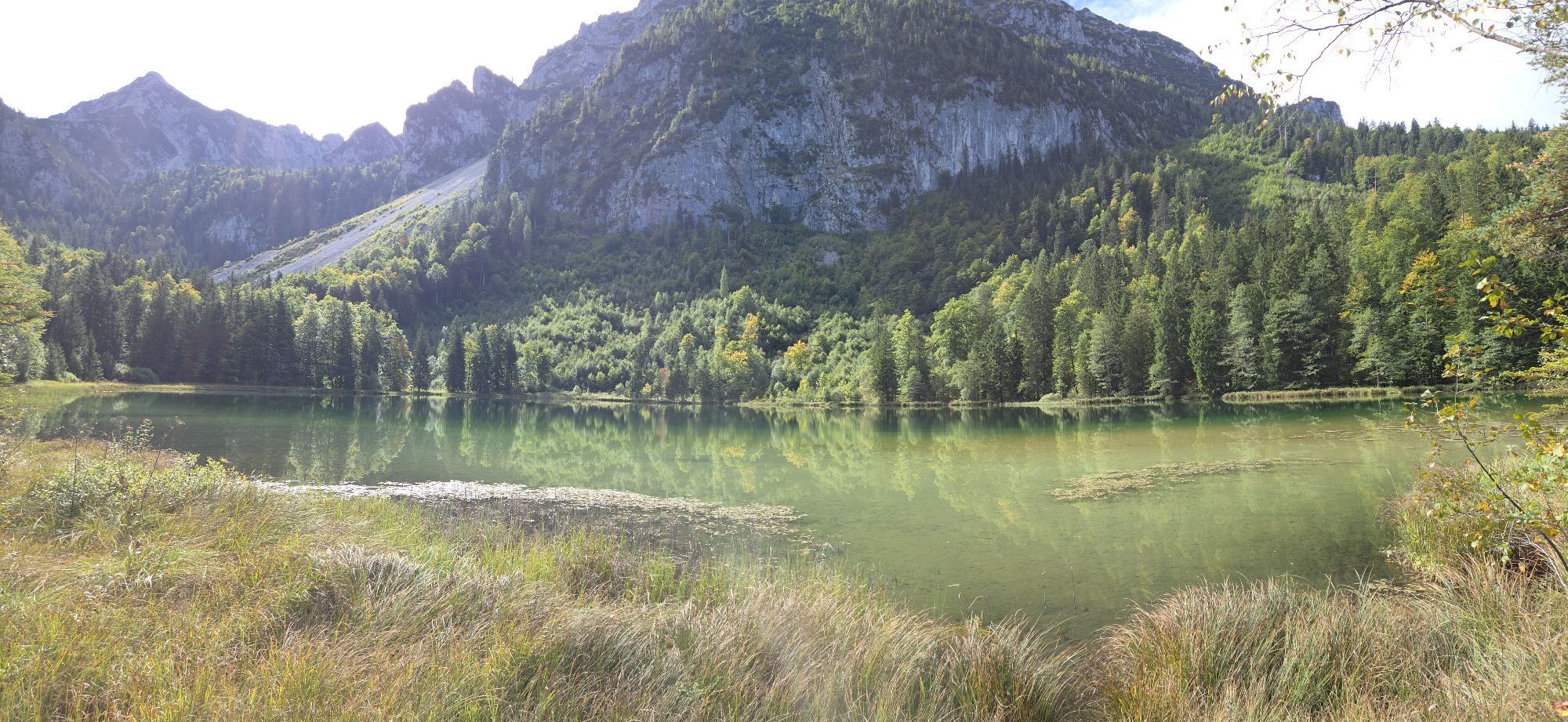
Tip: Stay at the Frillensee, the coldest lake in Germany at this altitude, and read the history of Inzell speed skating.
Special feature: On this challenging mountain tour, you cross 3 peaks and the magnificent mountain panorama rewards you for the effort.
Refreshments: Gasthof Adlgaß, Reichenhaller House
Tip: Stay at the Frillensee, the coldest lake in Germany at this altitude, and read the history of Inzell speed skating.
Pot
Adlgaß
(807 m)
Poravnava
0.1 km
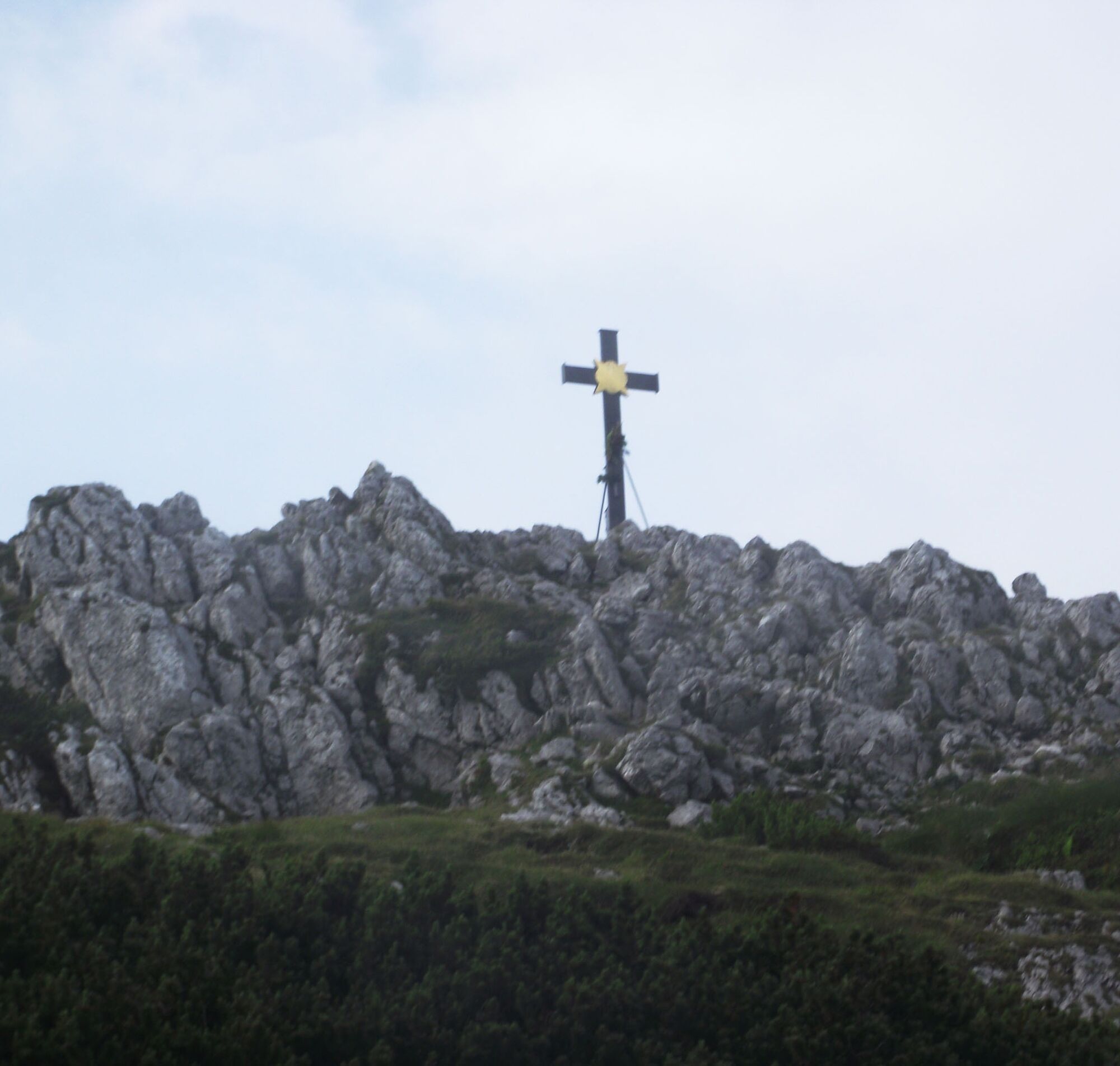
Staufenkapelle
(1,747 m)
Kraj čaščenja
6.7 km
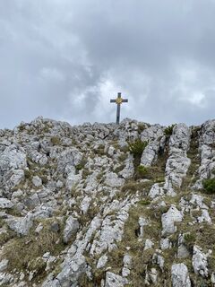
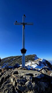
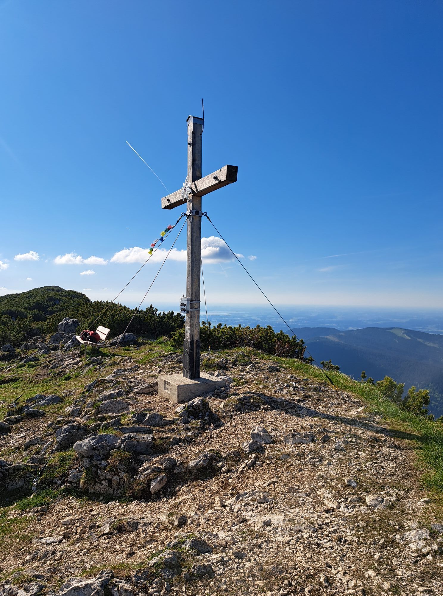
Hochstaufen
(1,771 m)
Vrh
6.8 km
Hendelbergskopf
(1,613 m)
Vrh
8.1 km
Zenokopf
(1,756 m)
Vrh
9.6 km
Zwiesel
(1,782 m)
Vrh
9.7 km
Gamsknogel
(1,750 m)
Vrh
10.8 km
Pot
Hochstaufen Traverse
Pohodništvo
17.18
km
Forsthaus Adlgaß
(805 m)
Restavracija
0.0 km
Adlgaß
(807 m)
Poravnava
0.1 km
Alles im Fluss
(889 m)
Igrišče
1.0 km
Staufenkapelle
(1,747 m)
Kraj čaščenja
6.7 km
Hochstaufen
(1,771 m)
Vrh
6.8 km
Mittelstaufen
(1,657 m)
Vrh
7.6 km
Hendelbergskopf
(1,613 m)
Vrh
8.1 km
Roßkarscharte
(1,450 m)
Gorsko sedlo
8.6 km
Zenokopf
(1,756 m)
Vrh
9.6 km
Zwiesel
(1,782 m)
Vrh
9.7 km
Gamsknogel
(1,750 m)
Vrh
10.8 km
Adlgaß
(807 m)
Poravnava
16.8 km
Forsthaus Adlgaß
(805 m)
Restavracija
17.1 km

Dodatne informacije in nasveti
Dodatne informacije
Inzell
Vrednotenja
1 Komentar:
Hans-dieter ehrgott
08. අගෝ. 2025
Abstieg vom Hendelbergskopf
Man sollte bei der Tourbeschreibung den ausgesetzten, seilgesicherten Abstieg vom Hendelbergskopf explizit erwähnen. Ohne Klettersteigset ist das über den Grat gespannte dünne Stahlseil nur bedingt eine Sicherheit. Die Kletterei der Stufe 1 über ungefähr 20 Meter ist nicht schwierig aber ein Fehler beim Klettern ohne Seil wird kaum verziehen, weil es beidseitig im Fels steil bergab geht.
Priljubljeni izleti v okolici
-
4.3
Staufen-Bergtour
srednjaPohodništvo 14.1 km -
3.3
From Heutal to Sonntagshorn in the Salzburger Saalachtal
srednjaPohodništvo 11.7 km -
4.5
Unternberg
svetlobaPohodništvo 9.20 km -
4.0
From Latschenwirt over Tannenwinkel to Wolfschwang
svetlobaPohodništvo 5.88 km -
3.6
Rauschberg Rundwanderung über Sackgrabensteig
svetlobaPohodništvo 18 km -
4.6
Untersberg Bahn - Salzburger Hochthron - Berchstendgadener Hochthron
srednjaPohodništvo 11.2 km -
2.8
Almerlebnisweg Ramsau
Pohodništvo 11.8 km -
4.9
Dötzenkopf Rundweg
srednjaPohodništvo 6.73 km -
4.4
Hochstaufen
težkoPohodništvo 7.59 km -
4.4
unternberg Ruhpolding, Bayern
srednjaZimsko pohodništvo 3.82 km
Pohodništvo in sledenje

Zaradi več kot 550.000 predlogov izletov, podrobnih zemljevidov in intuitivnega načrtovanja poti je aplikacija obvezna oprema za vse ljubitelje narave.

Ne zamudite ponudb in navdiha za naslednje počitnice
Naročite se na novice
Napaka
Zgodila se je napaka. Prosimo, poskusite znova.
Zahvaljujemo se vam za prijavo
Vaš e-poštni naslov je bil dodan na poštni seznam.
Izleti po vsej Evropi
Avstrija
Švica
Nemčija
Italija
Slovenija
Francija
Nizozemska
Belgija
Poljska
Lihtenštajn
Češka
Slovaška
Španija
Chorvátsko
Bosna in Hercegovina
Luksemburg
Andora
පෘතුගාලය
අයිස්ලන්තය
එක්සත් රාජධානිය
අයර්ලන්තය
ග්රීසිය
ඇල්බේනියාව
North Macedonia
Malta
Norway
Montenegro
Moldova
කොසෝවො
හන්ගේරියානු සමුහාණ්ඩුව
San Marino
රුමේනියාව
එස්ටෝනියා
ලැට්වියාව
බෙලාරස්
සයිප්රස්
Lithuania
Serbia
බල්ගේරියාව
Monaco
ඩෙන්මාර්කය
Sweden
ෆින්ලන්තය