







Unterkürnach – Kreuzbachtal – Eisenbach
Start with two highlights: The historic Hofgut Kürnach and the sawmill next to it. Gently into the Hüttentobel and up to Wolfsberg, past the remains of a mountain farm. View over the reforested Ulmertal,...
Start with two highlights: The historic Hofgut Kürnach and the sawmill next to it. Gently into the Hüttentobel and up to Wolfsberg, past the remains of a mountain farm. View over the reforested Ulmertal, then over an old path to Kreuzleshöhe – with the best view over the Adelegg. Continue to the chapel high on the mountain in the valley end. We see the old world at the ancient Hof Dorn, before the path leads steeply down into the Kreuzbachtal at the „end of the world“. In the wild romantic valley with old farms to the new goat stable with cheese dairy. Cozy to Kreuzthal with a tour through the legendary village. Stop at the village inn „Kreuz“ or at Haus Tanne in Glasweiler Eisenbach with its numerous highlights.
A short variant branches off at Geißberg and leads back to Unterkürnach via the Schindelbach. But the nearby Goldachtal is also worth a detour.
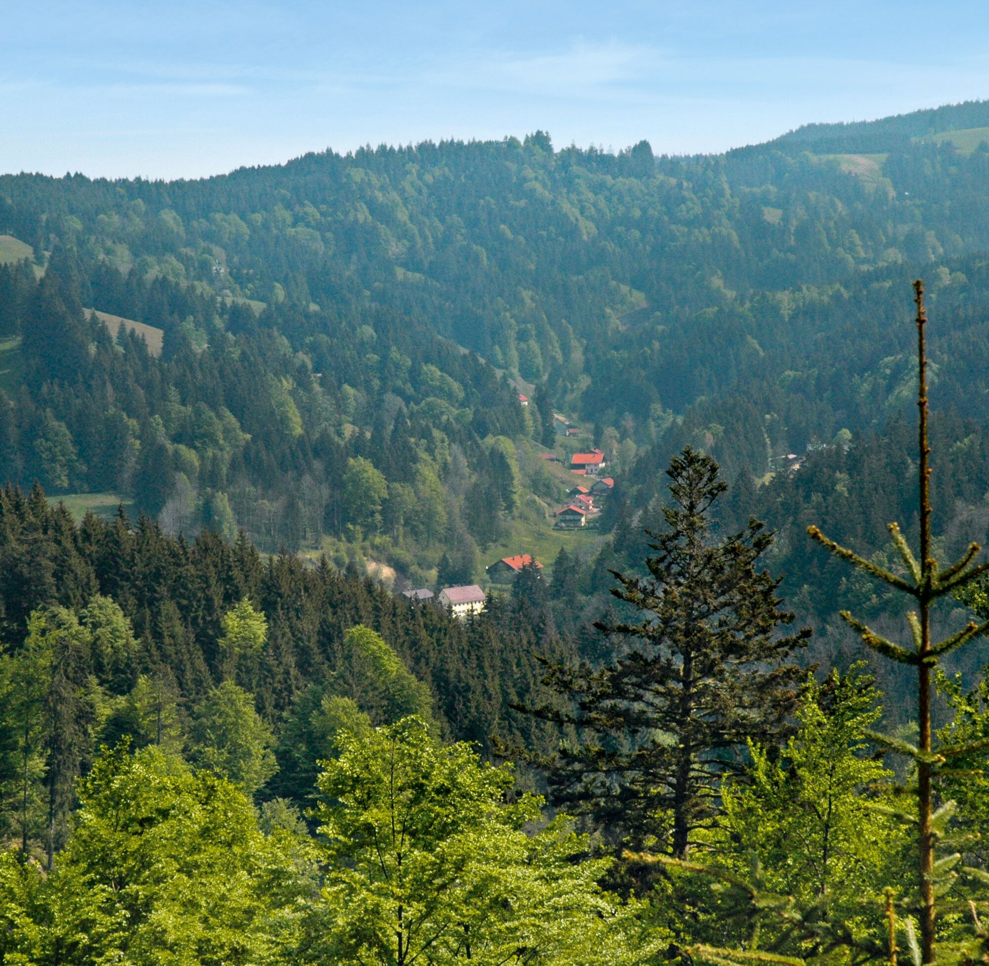

The tour can also be extended: From the chapel via Schwedenschanze and Fürstenbrunnen to the lonely Steinberg and from there down to the village with magnificent views.
Park second car at the destination point.
Pridobite vpogled Vedno v živo na mestu z več kot 9.500 spletnimi kamerami. bergfex Kot uporabnik Pro si lahko zdaj ogledate ustrezne spletne kamere za številne izlete v aplikaciji izleti iz. Tako si lahko neposredno ogledate trenutne razmere. Priljubljeni izleti v okolici
- 5.0
Eistobel Grünenbach
svetlobaPohodništvo 6.16 km - 5.0
Hängebrücke
Pohodništvo 12.5 km - 4.3
NiSo See, Waltenhofen, Deutschland
svetlobaZimsko pohodništvo 7.38 km - 4.0
Eistobel- & Bergwanderung
srednjaPohodništvo 13.6 km - 5.0
Himmelsleiter
srednjaPohodništvo 18.8 km - 5.0
Kempten (Allgäu) - Marienkapelle - Mariaberg
srednjaPohodništvo 15 km Rundtour um den Niedersonthofener See
svetlobaPohodništvo 16.4 km- 5.0
Eistobel tour 19
srednjaZimsko pohodništvo 5.62 km - 4.5
Maierhöfen - Riedholz - Erste Wasserfälle - Grünenbach
svetlobaPohodništvo 5.48 km - 4.6
Thanners
svetlobaTematska pot 3.88 km
Pohodništvo in sledenje


Ne zamudite ponudb in navdiha za naslednje počitnice
Vaš e-poštni naslov je bil dodan na poštni seznam.





