







Hochplatten loop high above Bayerisch Gmain
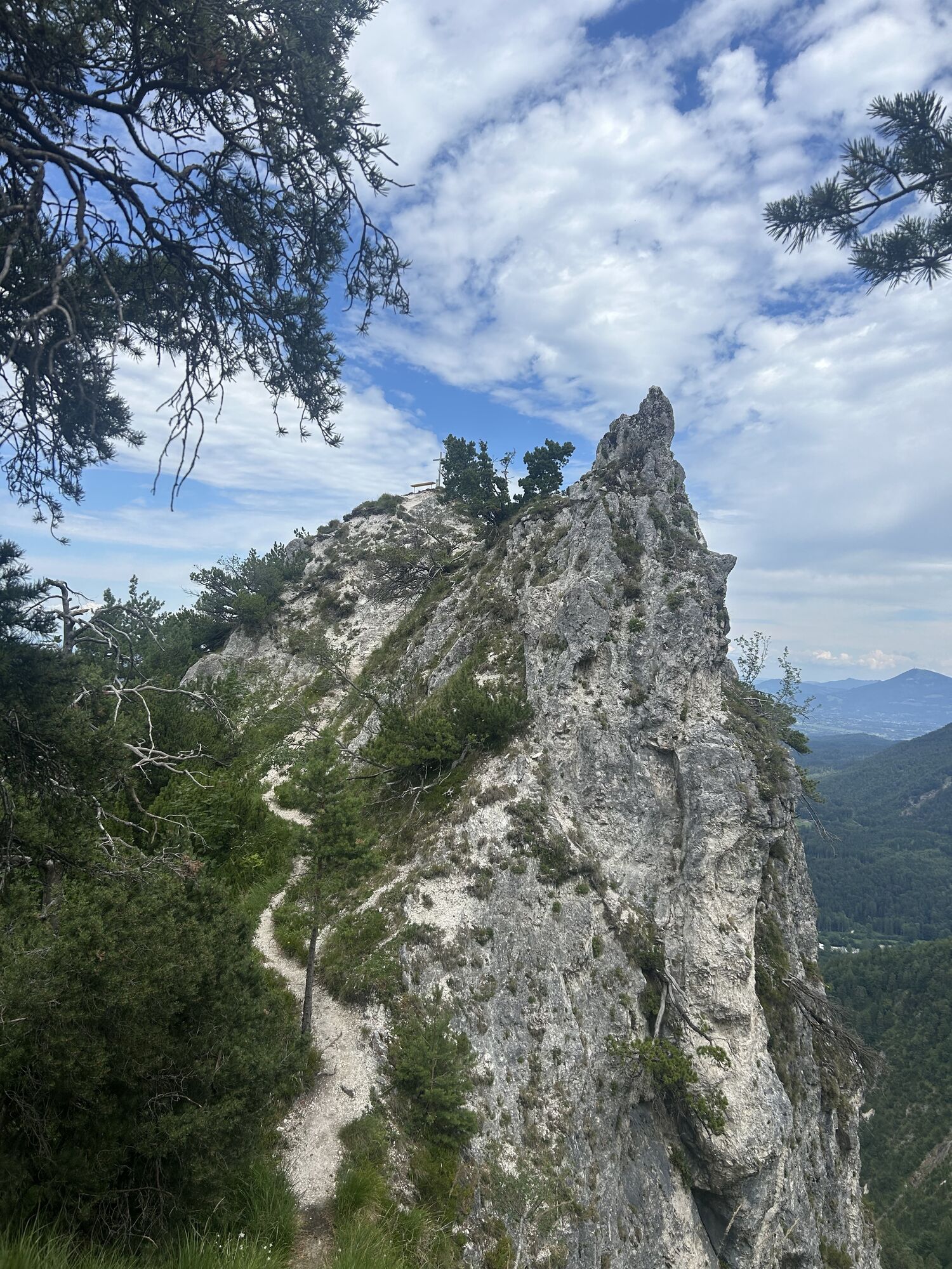
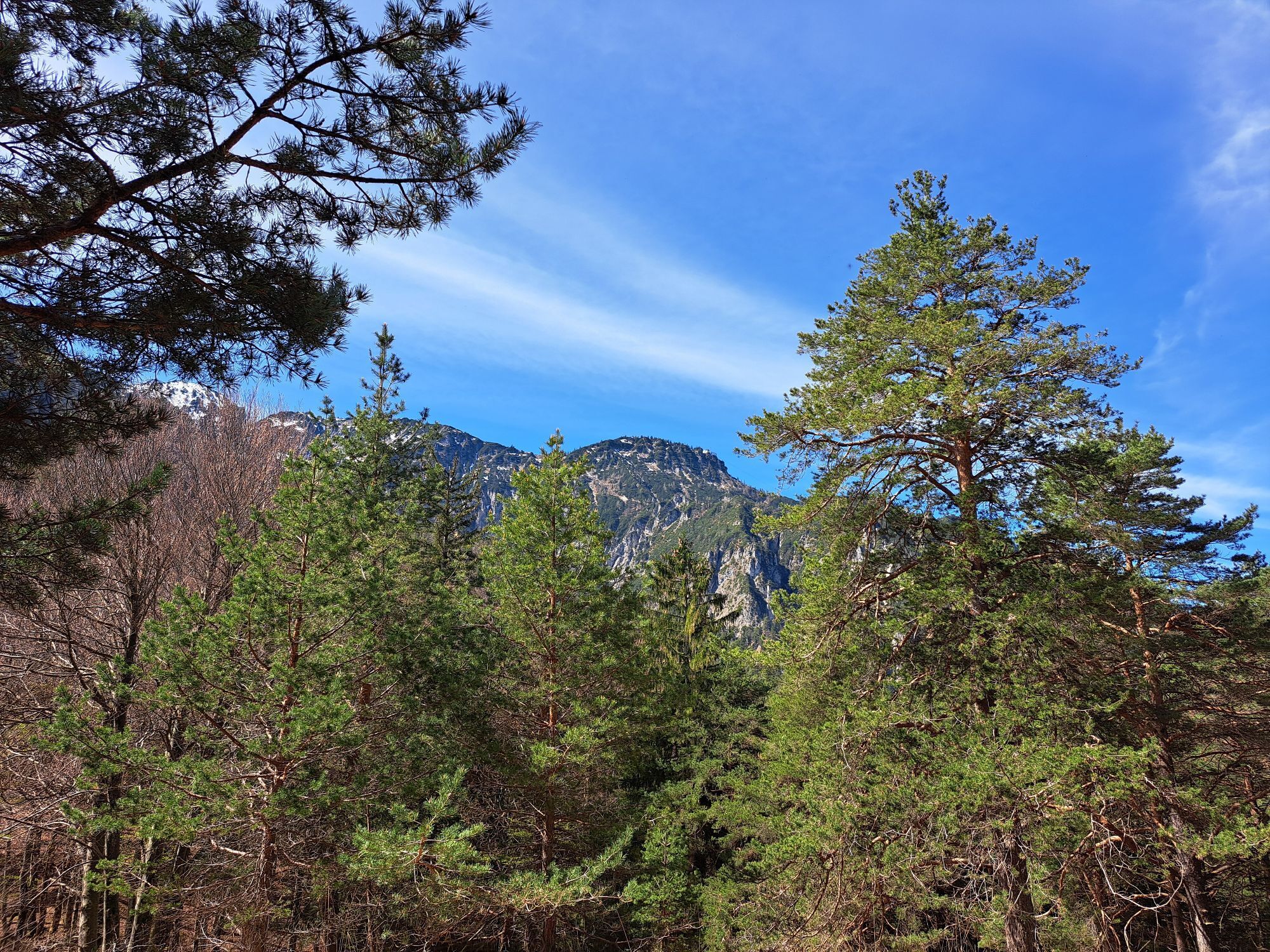
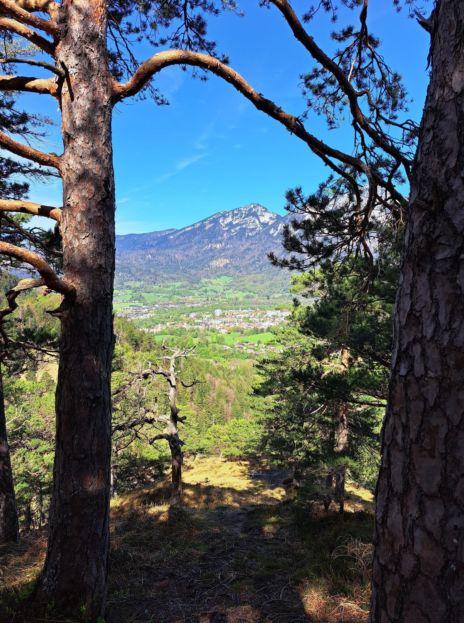
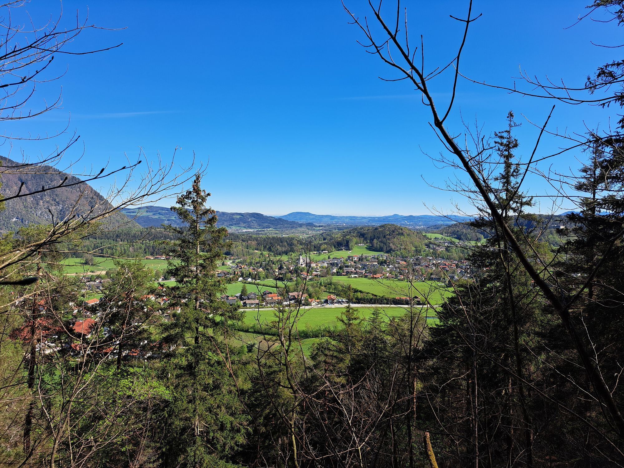
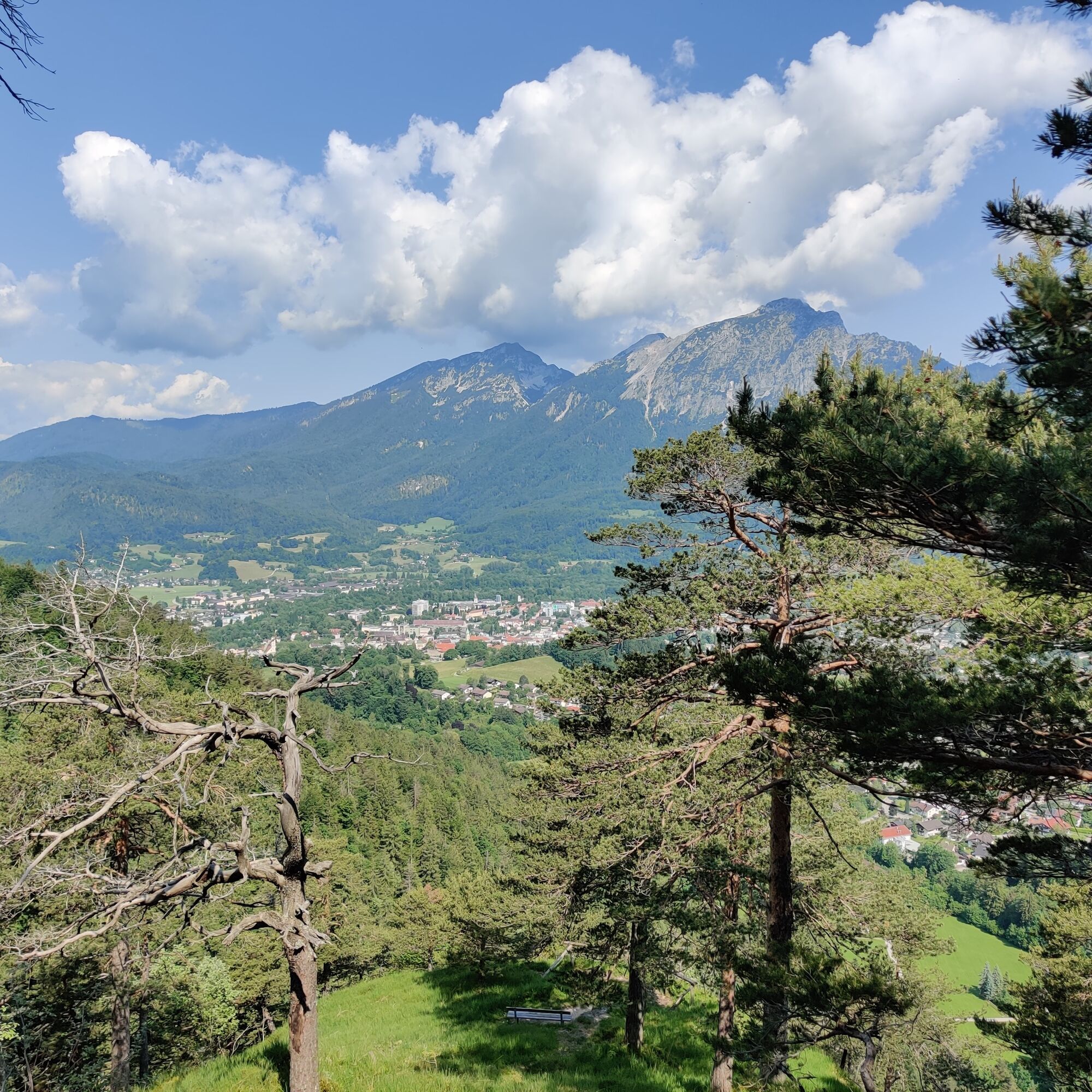
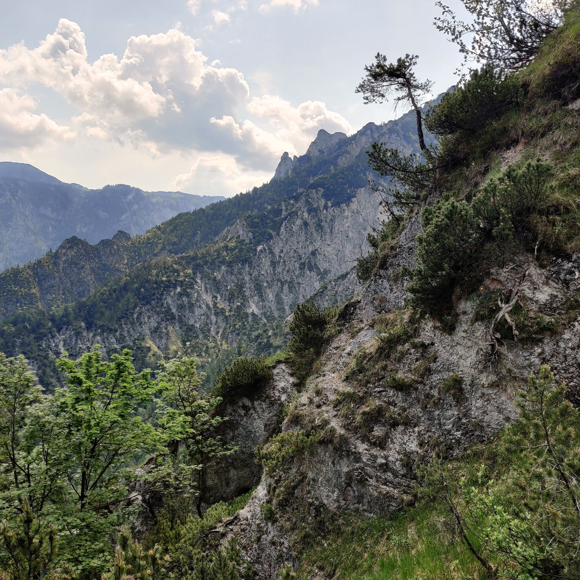
On the lonely ascent through the forest, you can repeatedly enjoy great views into the Lattengebirge and the Reichenhaller basin. Even those who skip the short climb on the exposed rock spires of the Lattenbergstoa...
On the lonely ascent through the forest, you can repeatedly enjoy great views into the Lattengebirge and the Reichenhaller basin. Even those who skip the short climb on the exposed rock spires of the Lattenbergstoa will experience a wonderful route with the Bavarian neighbors here. During the descent through the Speik Gorge, you can also refresh yourself in the water of the Weißbach.

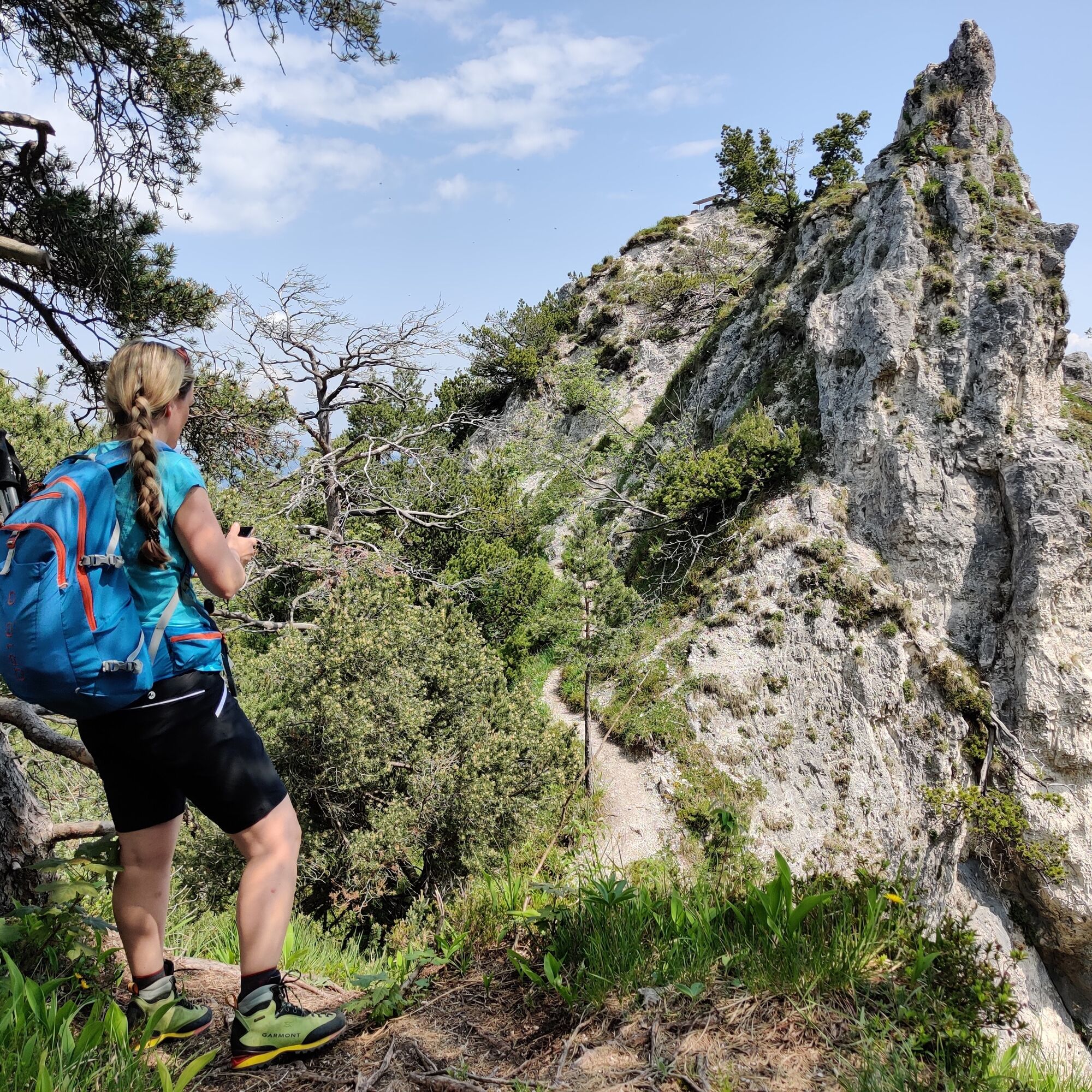
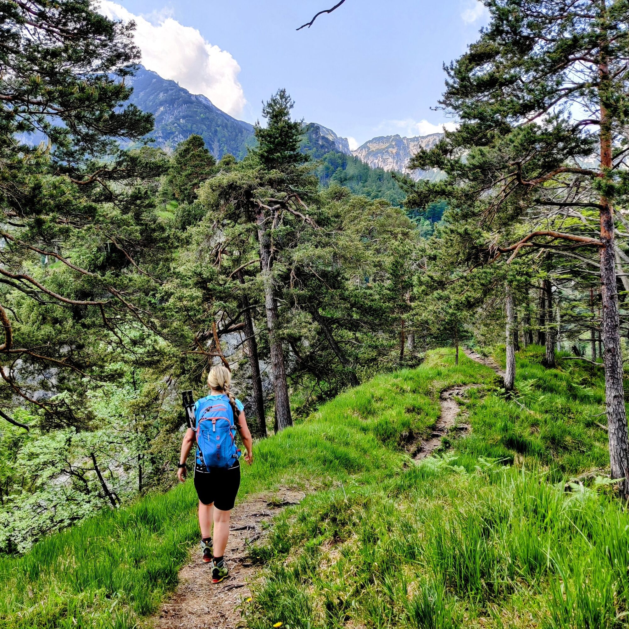

At the bus stop, first cross the street and head south through the underpass. At Lattenbergstraße, directly turn left, climb the steps, and take the narrow path next to the railway tracks. After the rehab center, turn right and follow Alpentalstraße to the Alpgarten hiking parking lot. Various hikes are signposted here. Follow the Hochplatten loop, cross the winter toboggan run to the left, and continue keeping left along the narrow steep path up through the forest.
After about an hour, you reach a viewing platform from where the view extends to Bad Reichenhall and the Staufen. The circular route then continues southeast to the Hochplatte (911 m). After a short descent, continue uphill south towards the Lattenbergstoa. The rugged rock spire is quite exposed, requires a short climb, and should only be climbed if you are surefooted and not afraid of heights.
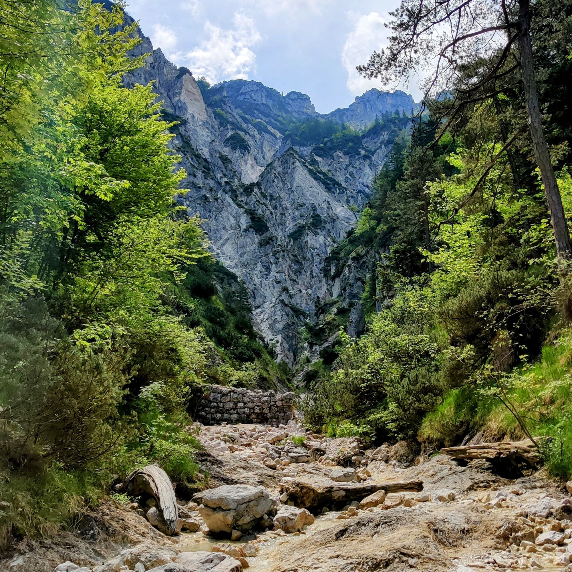
Back at the junction, the path now leads left down into the Speik Gorge. When crossing the stream, walk a bit further right into the ditch – the view is worth it. Descend on the other side of the Weißbach to the corn path. The forest road now leads back beside the railway tracks to the hiking parking lot. Then return the same way as the ascent to the bus stop in the town.
Da
Hiking equipment
During the short climb on the rock spires of the Lattenbergstoa, absolute surefootedness and a head for heights are required.
Getting there: Bus 180 to (H) Bayrisch Gmain town center
Timetable information and download: Online at www.salzburg-verkehr.at or on your smartphone via the free Salzburg Verkehr app for Android and iOS.
Information & Contact
Stefanie Ruep
5020 Salzburg
stefanie.ruep@gmail.com
@stefitzka
Image credit: Stefanie Ruep

Spletne kamere s turneje
-
Spa & Fitness Resort Rupertus Therme
-
Spa & Fitness Resort Rupertus Therme
-
Spa & Fitness Resort Rupertus Therme
-
Predigtstuhl II - Bad Reichenhall
-
Predigtstuhl II - Bad Reichenhall
-
Predigtstuhl III
-
Predigtstuhl III
-
Predigtstuhl III
-
Predigtstuhl III
-
Predigtstuhl III
-
Predigtstuhl III
-
Predigtstuhl III
-
Predigtstuhl III
-
Bad Reichenhall - Hotel Seeblick Thumsee
Pridobite vpogled
Vedno v živo na mestu z več kot 9.500 spletnimi kamerami. bergfex Kot uporabnik Pro si lahko zdaj ogledate ustrezne spletne kamere za številne izlete v aplikaciji izleti iz. Tako si lahko neposredno ogledate trenutne razmere.

Priljubljeni izleti v okolici
-
4.6
Kneifelspitze
Pohodništvo 2.53 km -
4.4
Staufen-Bergtour
srednjaPohodništvo 14.1 km -
4.0
Durch die Almbachklamm nach Ettenberg
Pohodništvo 7.54 km -
4.6
Grünstein
svetlobaPohodništvo 2.57 km -
4.3
Halsalm
Pohodništvo 6.43 km -
4.8
Great and Small Barmstein, the landmarks of Hallein
težkoPohodništvo 6.58 km -
4.2
Untersberg, Toni-Lenz-Hütte
Pohodništvo 4.86 km -
3.9
Rundwanderweg zur Steinernen Agnes
Pohodništvo 9 km -
4.4
Alpgarten-Rundweg
Pohodništvo 2.93 km -
4.9
Ramsau/Hintersee-Runde
svetlobaPohodništvo 9.44 km
Pohodništvo in sledenje


Ne zamudite ponudb in navdiha za naslednje počitnice
Vaš e-poštni naslov je bil dodan na poštni seznam.





