


Mountain tour - ridge crossing in the royal hunting area
Fotografije naših uporabnikov
-

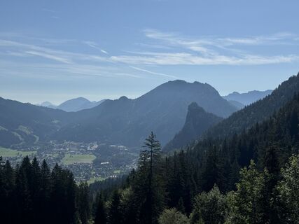
 © Sebastian SockUstvarjeno na 02.05.2026
 -
 © Sebastian SockUstvarjeno na 02.05.2026
 -
 © Sebastian SockUstvarjeno na 02.05.2026
 -
 © Stefan Koller 1Ustvarjeno na 02.05.2026
 -
 © Sebastian SockUstvarjeno na 02.05.2026
 -
 © Sebastian SockUstvarjeno na 02.05.2026
 -
 © Sebastian SockUstvarjeno na 02.05.2026
 -
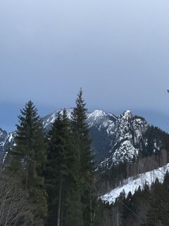
 © Nikolaus Ludwig 1Ustvarjeno na 28.12.2025
 -
 © Nikolaus Ludwig 1Ustvarjeno na 28.12.2025
 -
 © Nikolaus Ludwig 1Ustvarjeno na 28.12.2025
 -
 © Nikolaus Ludwig 1Ustvarjeno na 28.12.2025
 -
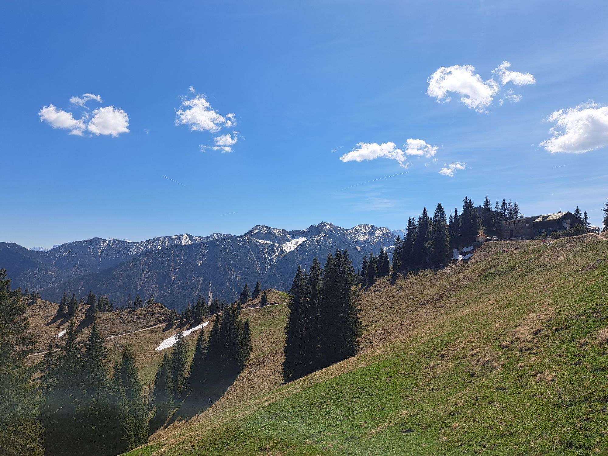
 © Marcel NavratilUstvarjeno na 15.10.2025
 -
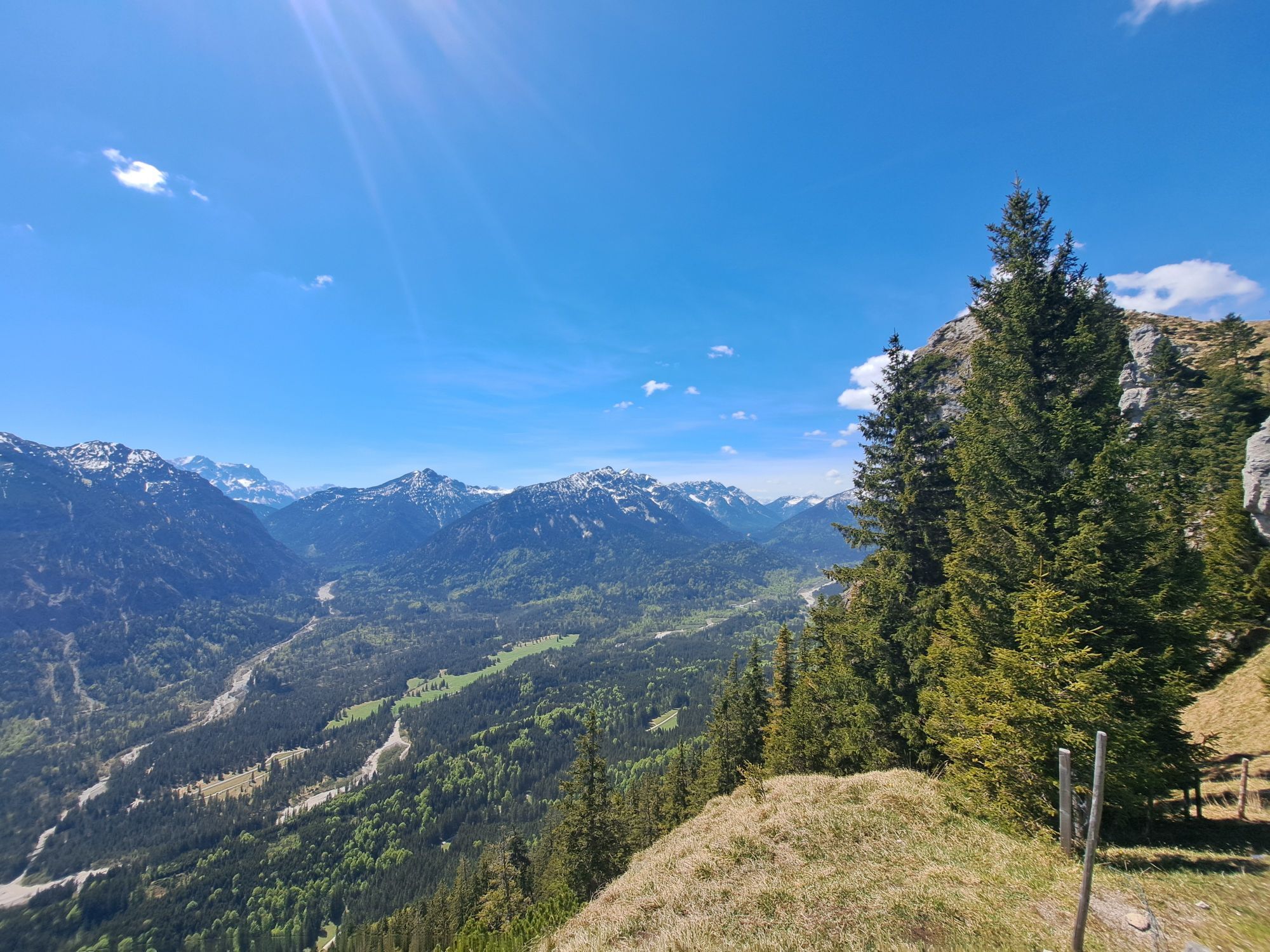
 © Marcel NavratilUstvarjeno na 15.10.2025
 -
 © Marcel NavratilUstvarjeno na 15.10.2025
 -
 © Marcel NavratilUstvarjeno na 15.10.2025
 -
 © Marcel NavratilUstvarjeno na 15.10.2025
 -

 © Mo HeUstvarjeno na 31.08.2025
 -
 © Mo HeUstvarjeno na 31.08.2025
 -
 © Thomas SchekiraUstvarjeno na 11.08.2025
 -
 © Denise MillerUstvarjeno na 10.06.2025
 -

 © Katrin RupprechtUstvarjeno na 09.06.2025
 -
 © Katrin RupprechtUstvarjeno na 09.06.2025
 -
 © Katrin RupprechtUstvarjeno na 09.06.2025
 -
 © Katrin RupprechtUstvarjeno na 09.06.2025
 -
 © Katrin RupprechtUstvarjeno na 09.06.2025
 -
 © Katrin RupprechtUstvarjeno na 09.06.2025
 -
 © Katrin RupprechtUstvarjeno na 09.06.2025
 -
 © Katrin RupprechtUstvarjeno na 09.06.2025
 -
 © Julian WiedlUstvarjeno na 10.05.2025
 -
 © MartinUstvarjeno na 19.04.2025
 -
 © MartinUstvarjeno na 19.04.2025
 -
 © MartinUstvarjeno na 19.04.2025
 -
 © MartinUstvarjeno na 19.04.2025
 -
 © NorbertZUstvarjeno na 30.07.2024
 -
 © NorbertZUstvarjeno na 30.07.2024
 -
 © NorbertZUstvarjeno na 30.07.2024
 -

 © boggyparUstvarjeno na 09.03.2024
 -
 © boggyparUstvarjeno na 09.03.2024
 -
 © Geo EtheridgeUstvarjeno na 09.12.2023


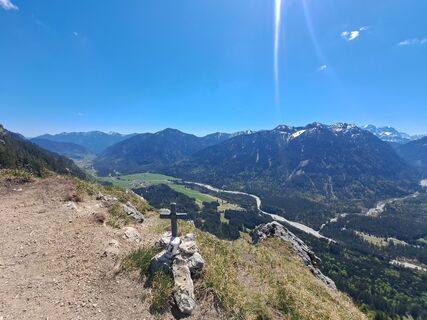
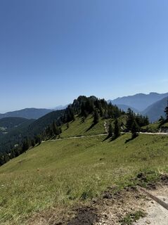
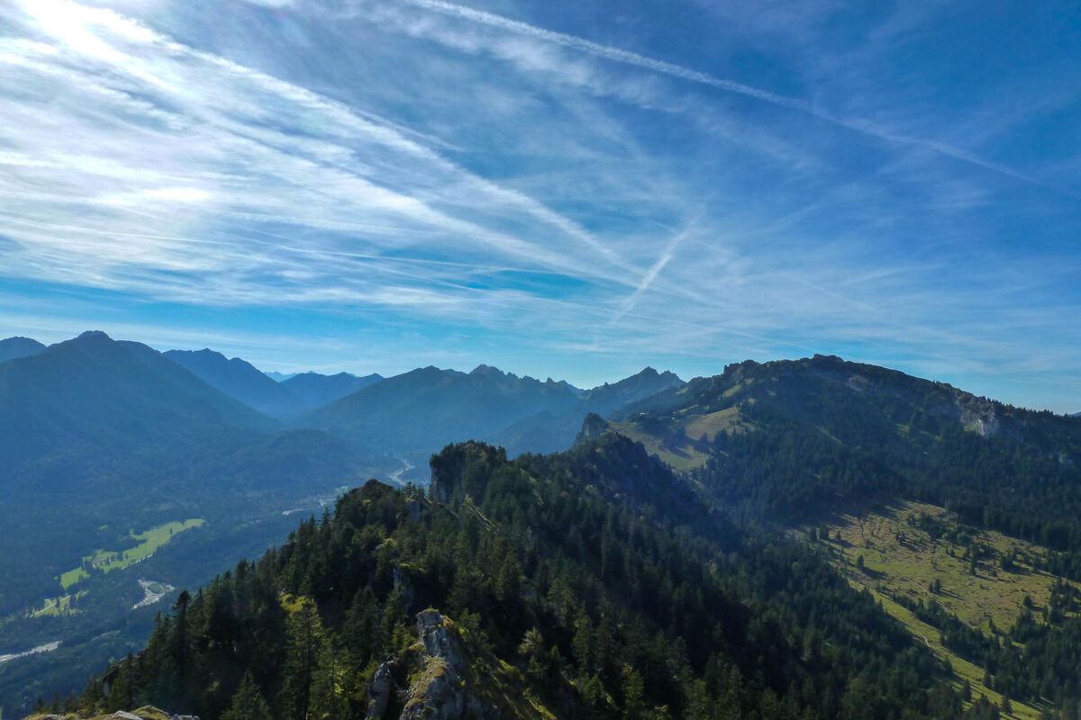
Hiking route from Linderhof Palace via the Brunnenkopf houses and the summit trio Dreisäulerkopf - Hennenkopf - Laubeneck to the Pürschlinghaus. From there back to the Kolbensattel hut and via the Crucifixion...
Hiking route from Linderhof Palace via the Brunnenkopf houses and the summit trio Dreisäulerkopf - Hennenkopf - Laubeneck to the Pürschlinghaus. From there back to the Kolbensattel hut and via the Crucifixion group to Oberammergau.
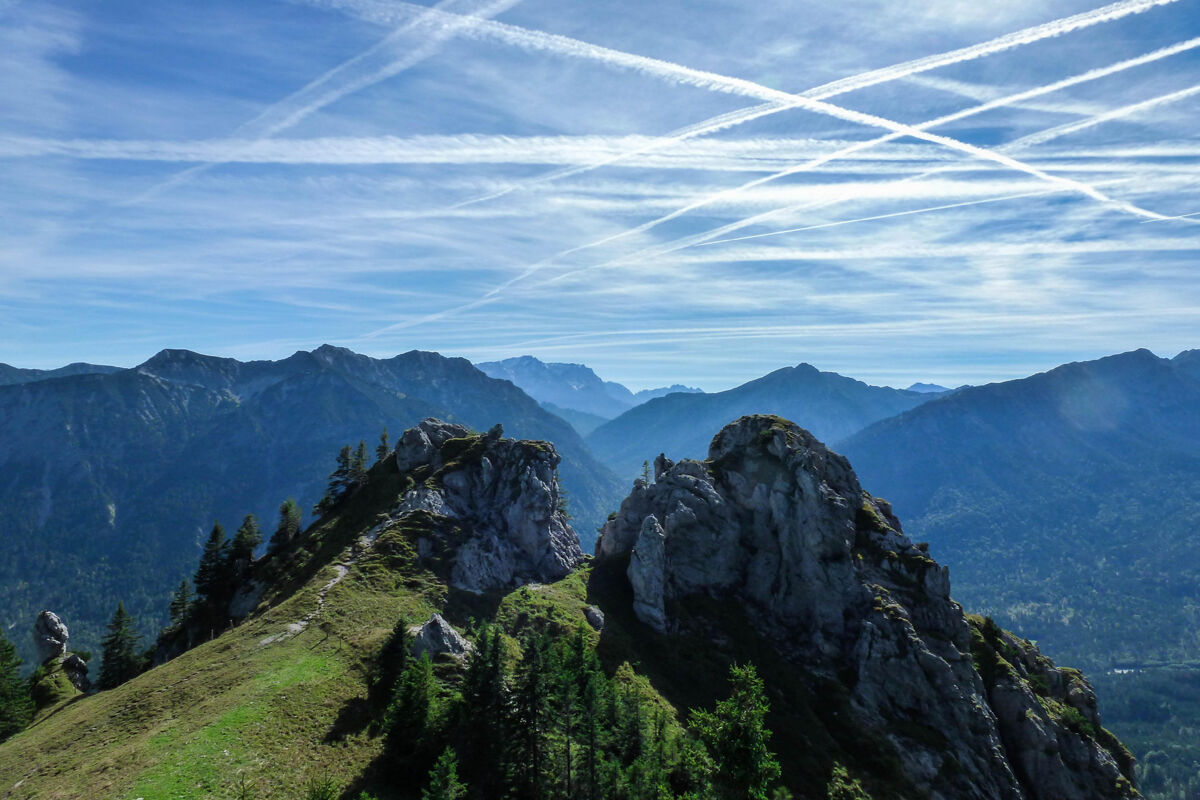
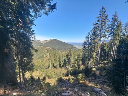
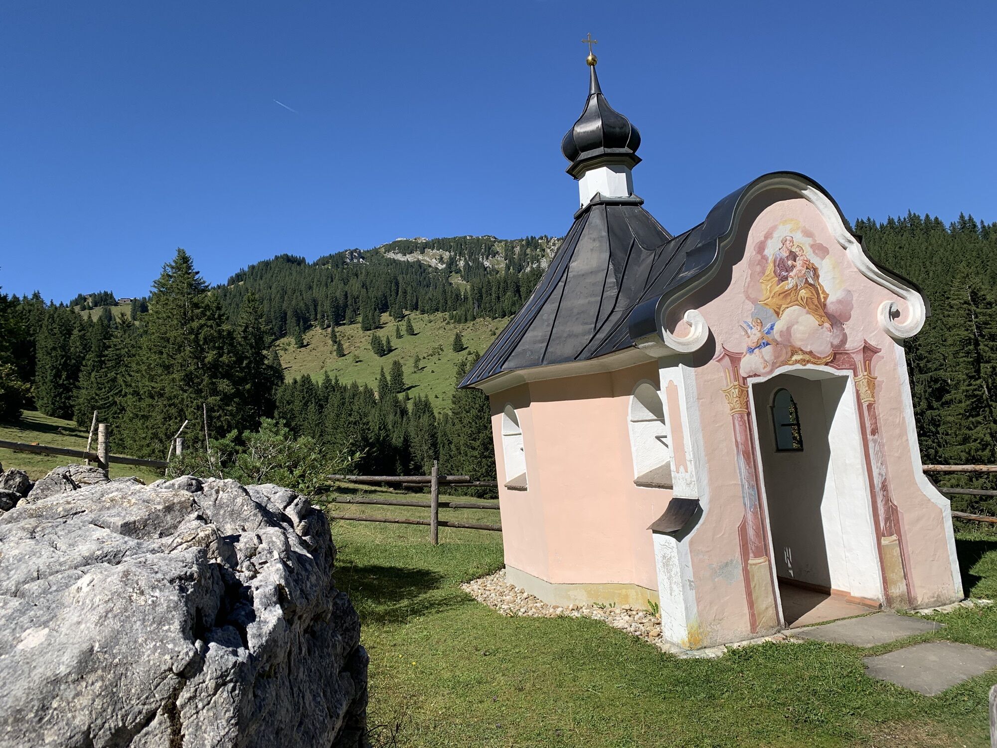
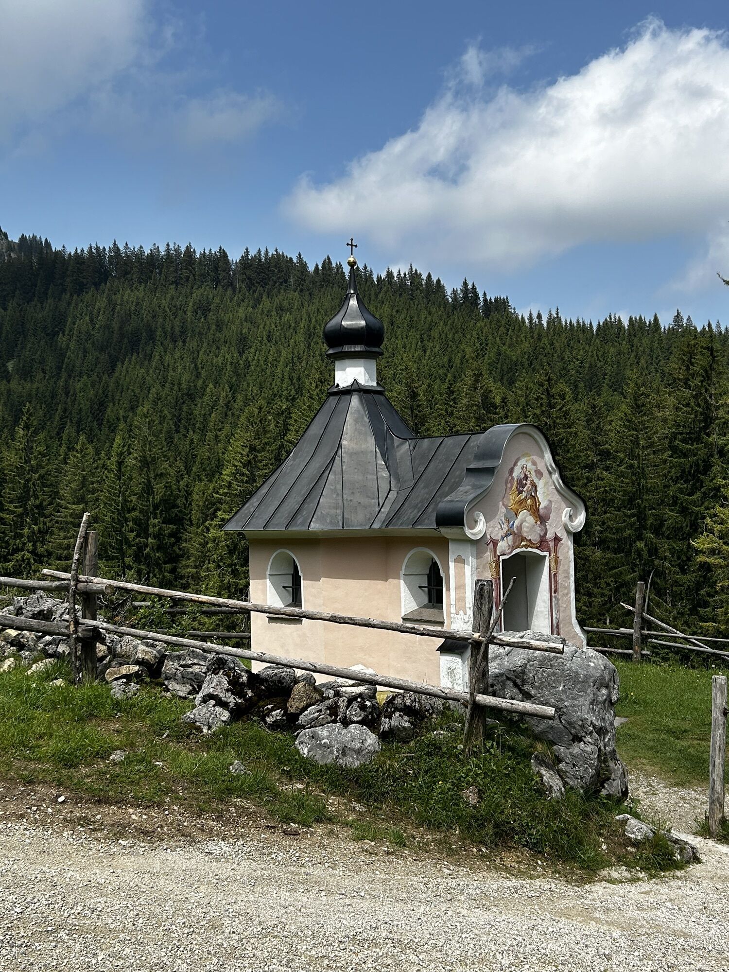
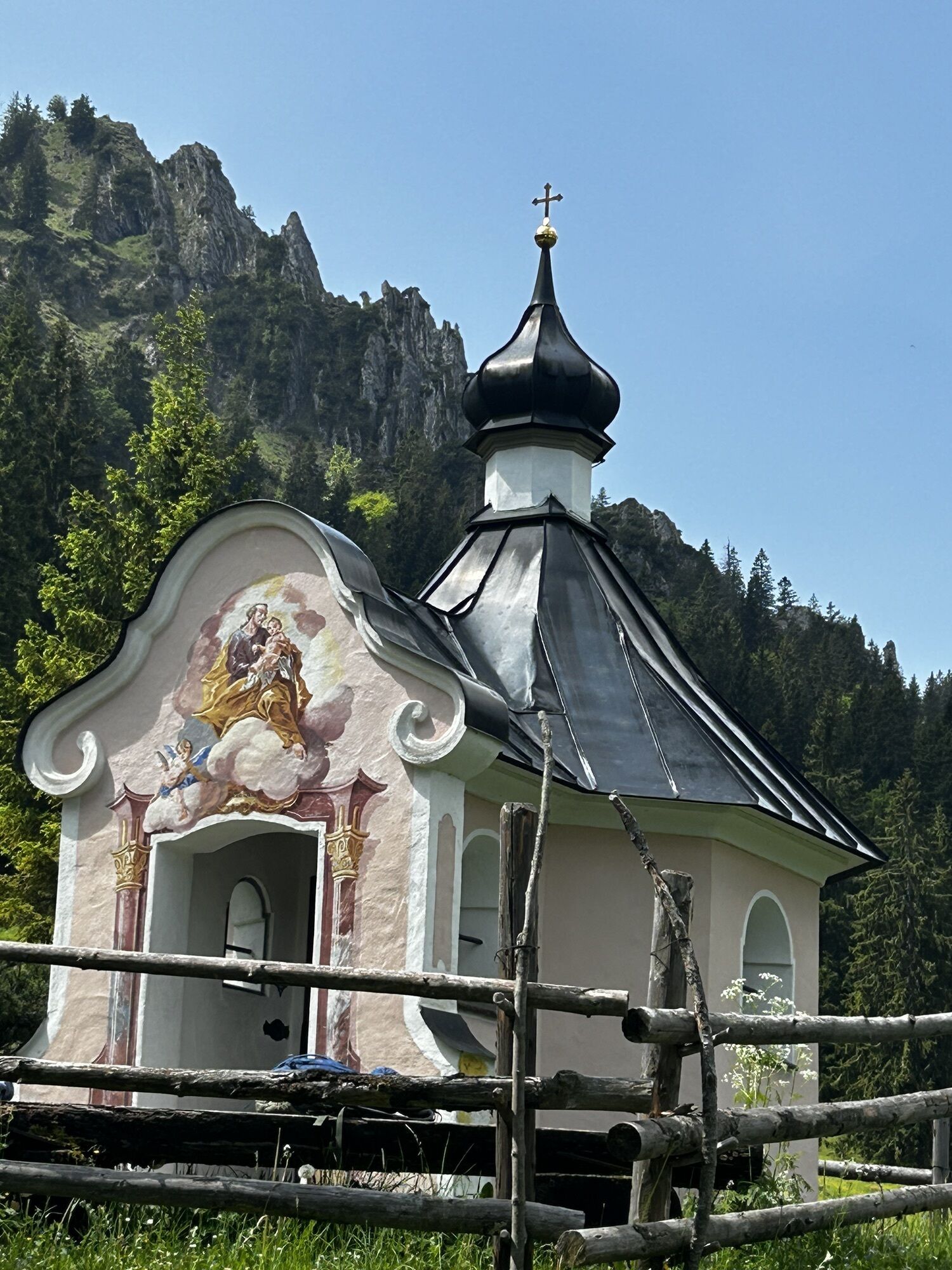
The route starts royally in the Linderhof Palace grounds. Over a somewhat steep ascent, it goes up to the Brunnenkopf houses, a former hunting lodge of King Maximilian I.
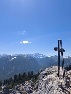
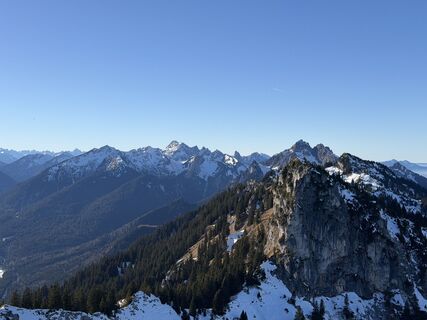
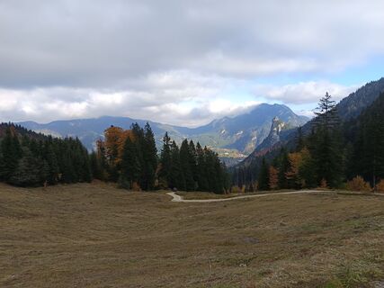
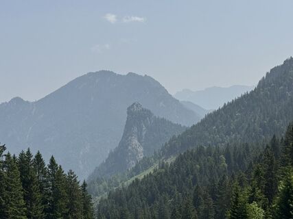
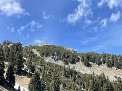
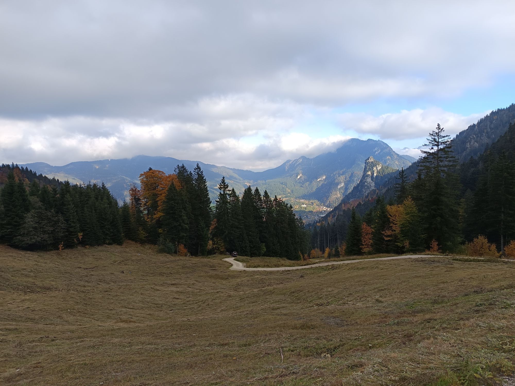
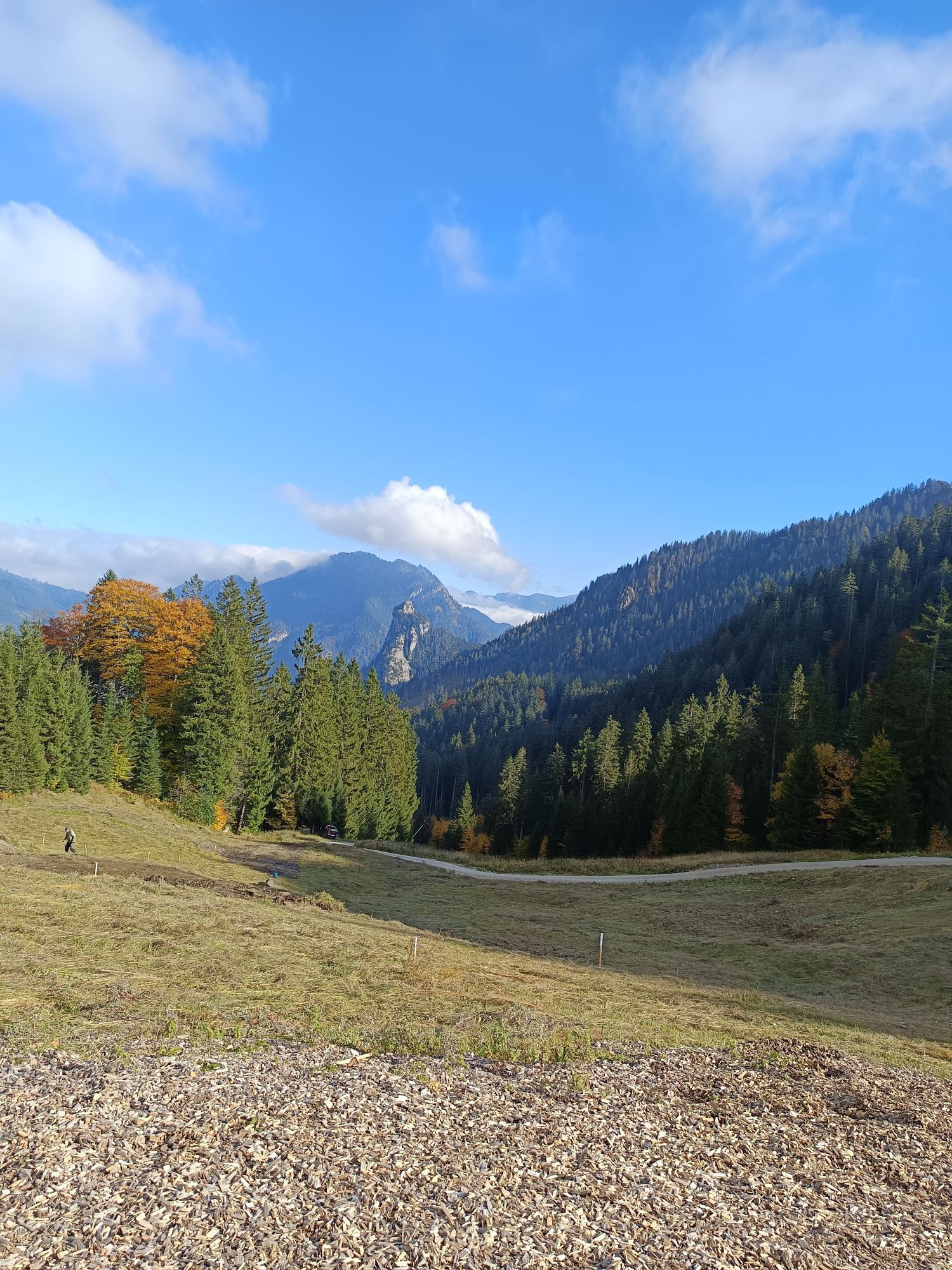
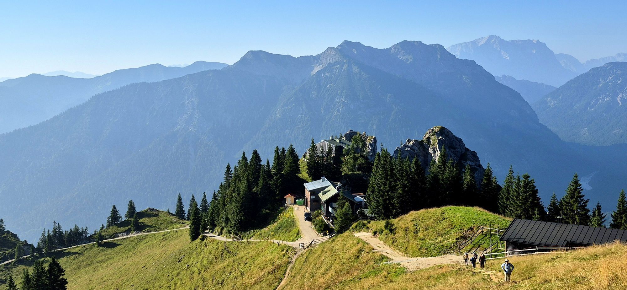
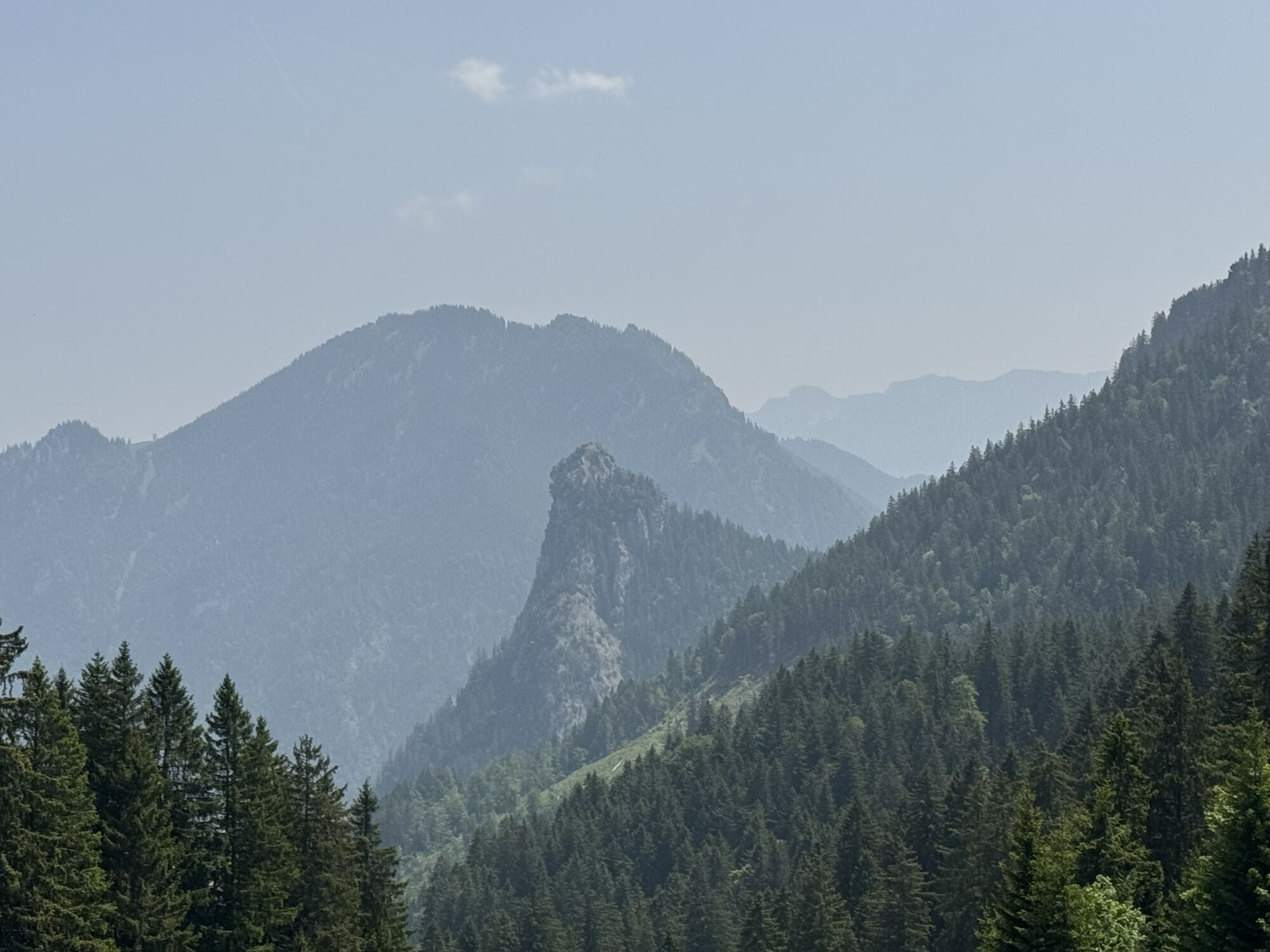
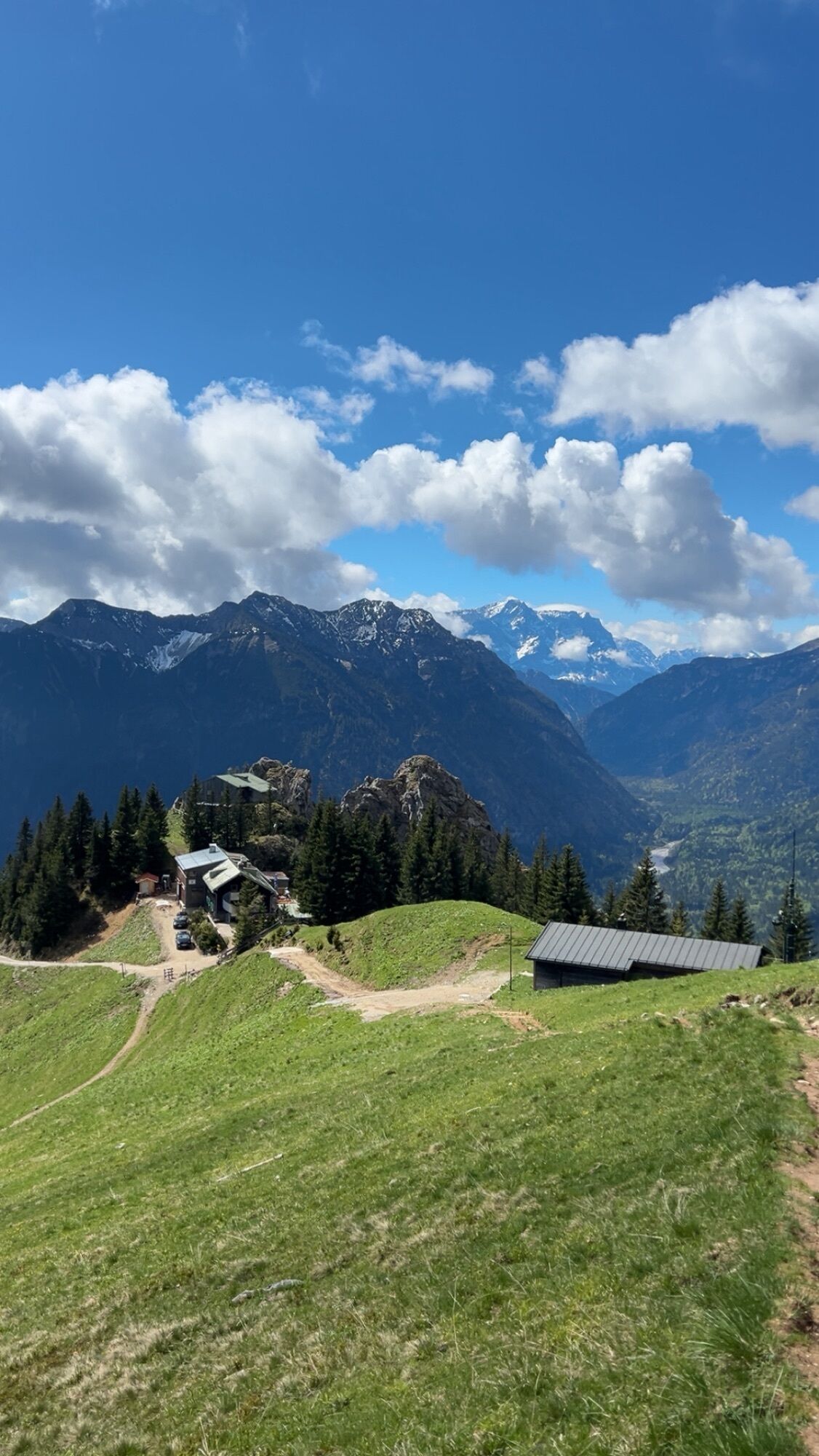
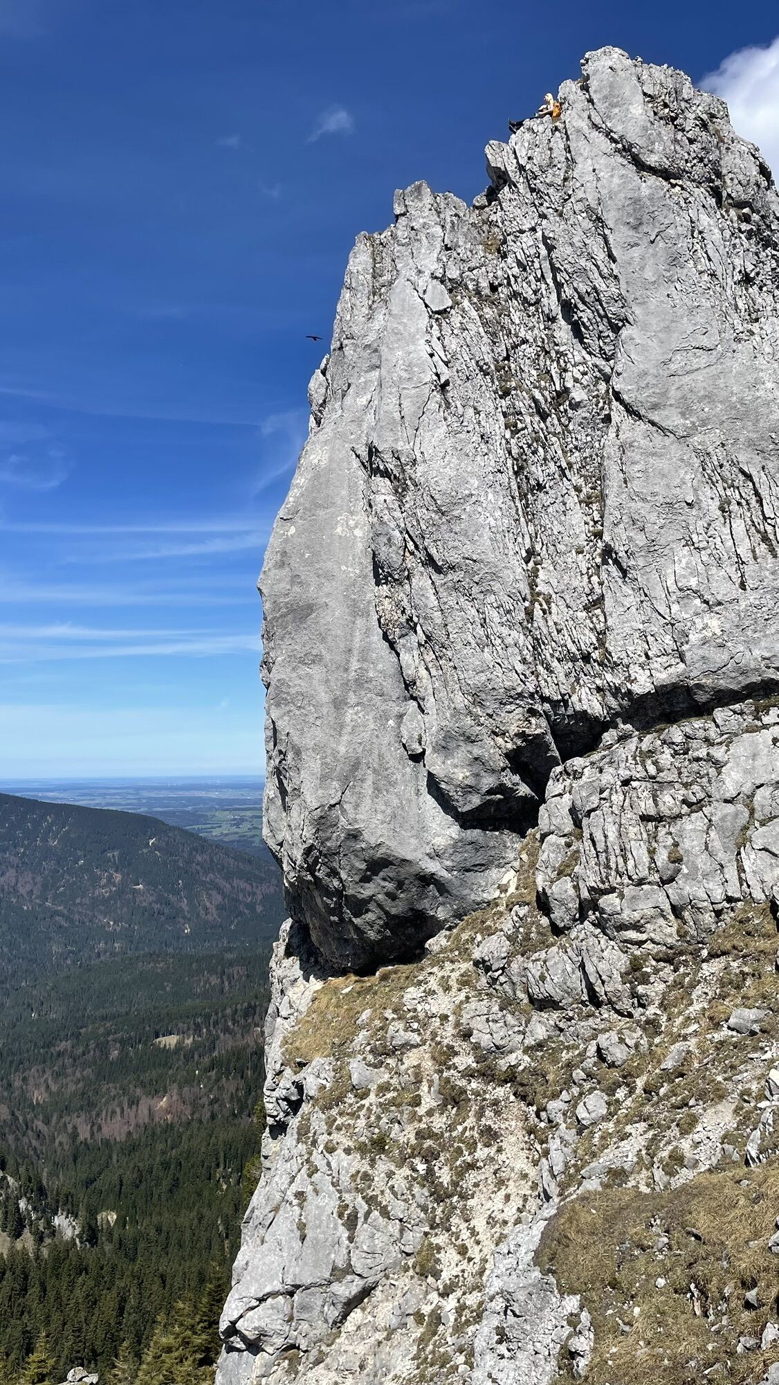
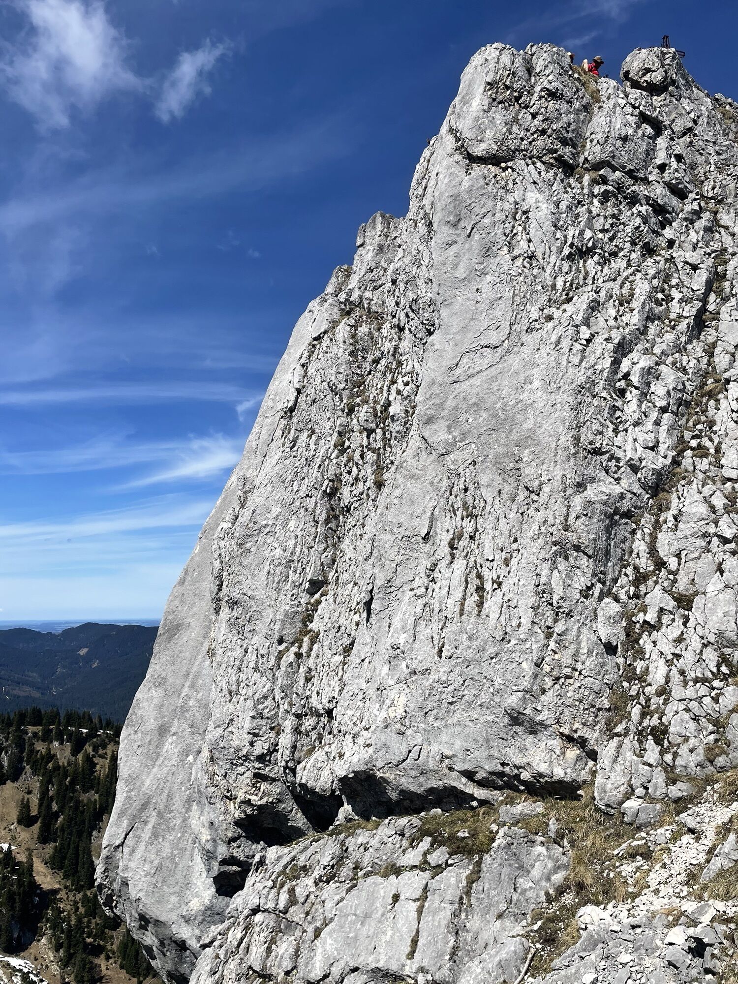
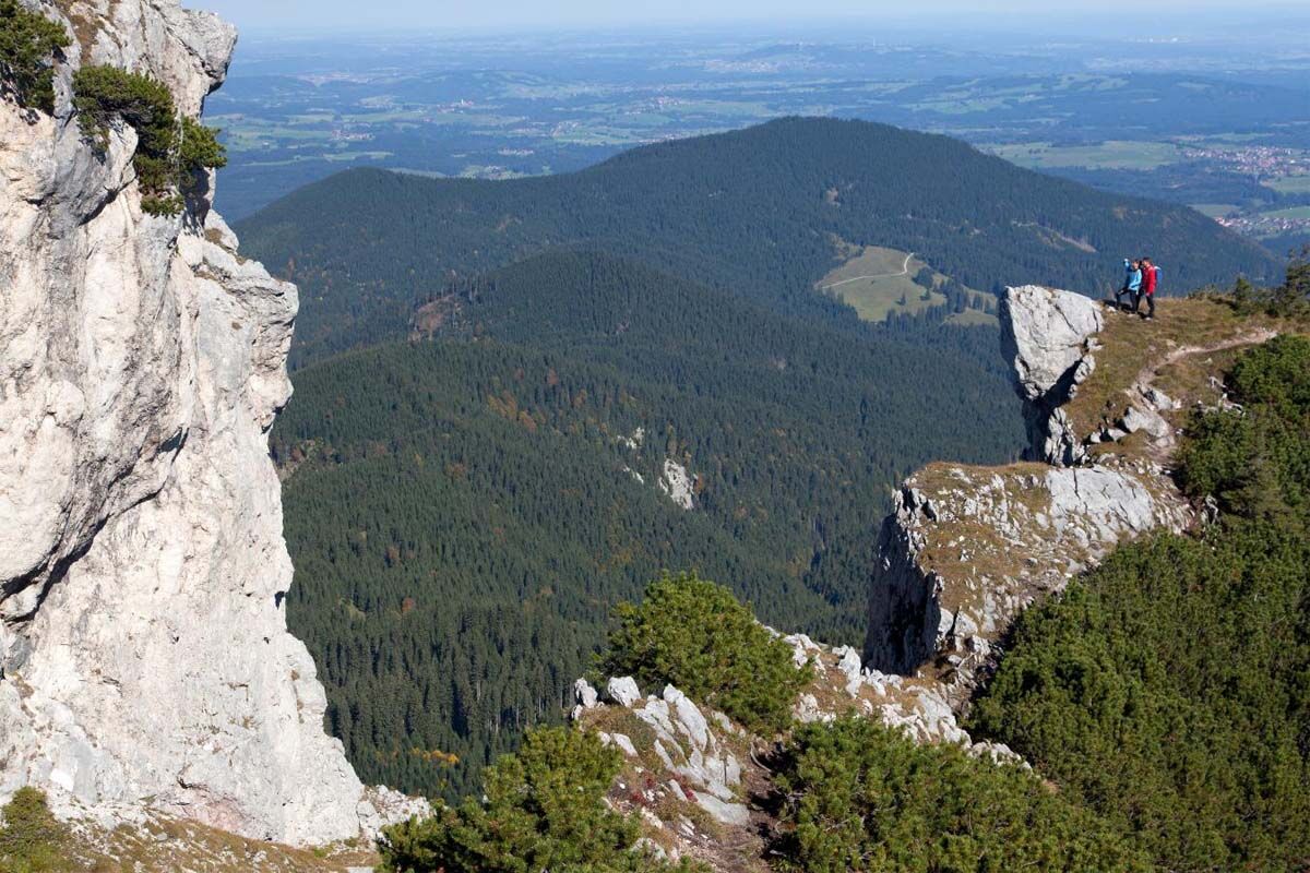
Now one summit follows the next like a string of pearls. After you have passed Dreisäulerkopf - Hennenkopf and Laubeneck, you reach the next royal hunting lodge - the Pürschlinghaus.
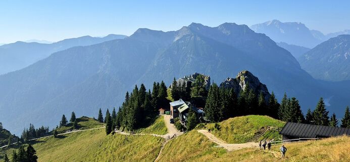
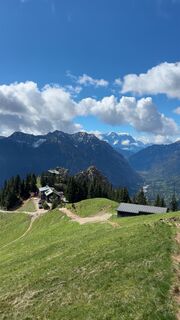
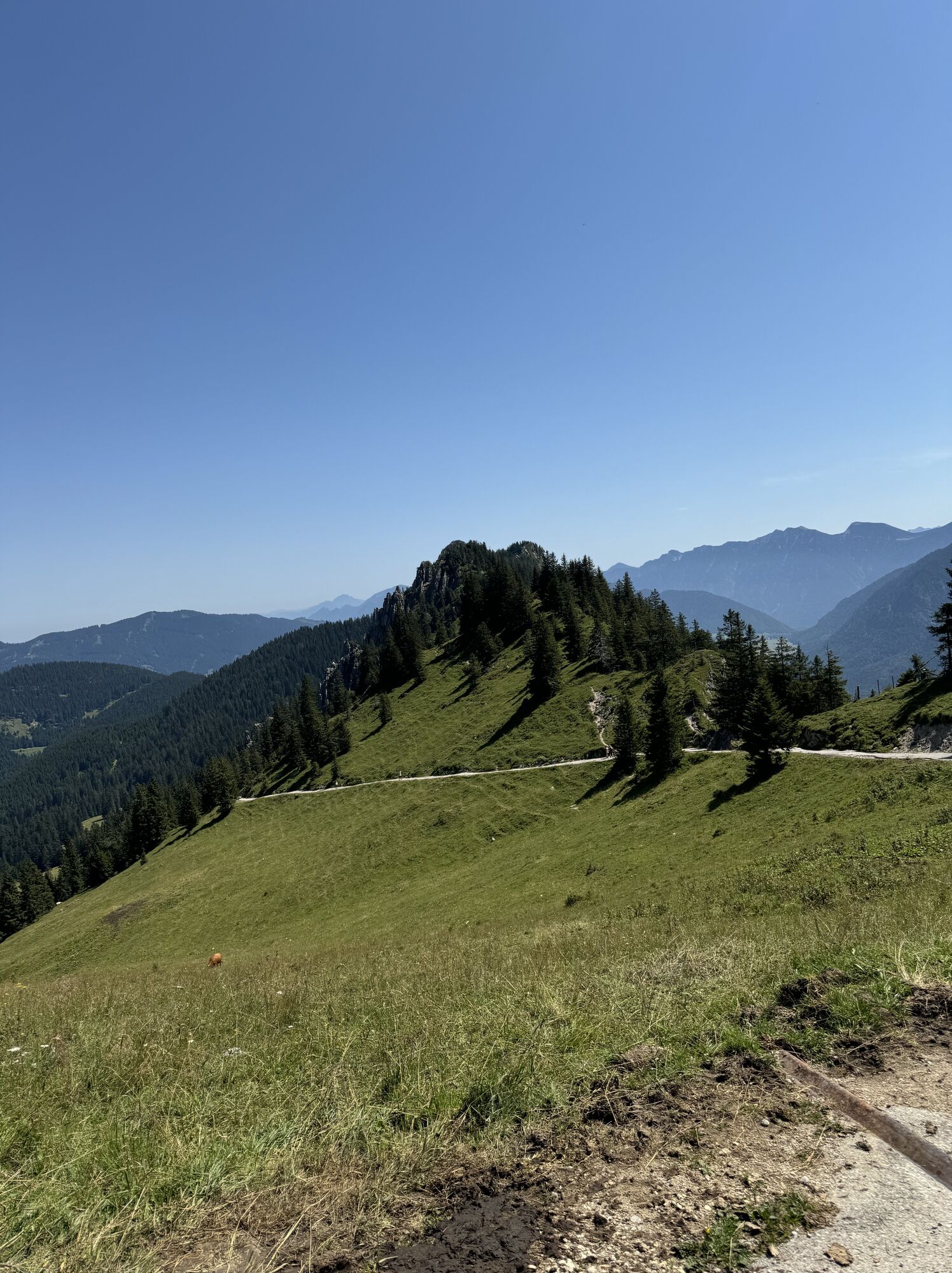
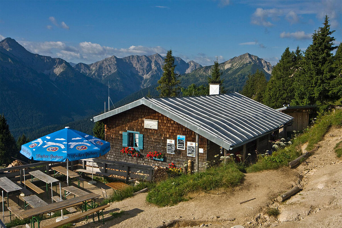
From the Pürschlinghaus, you hike back towards Unterammergau. Shortly after the Pürschlinghaus, you will find a signpost directing you towards Kolbensattel hut.
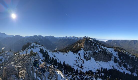
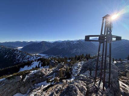
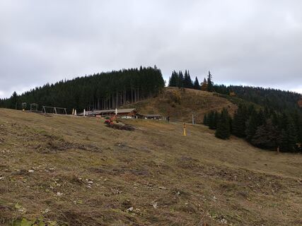
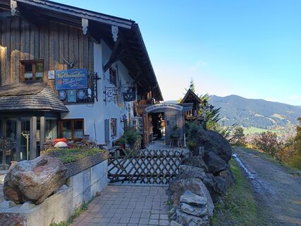
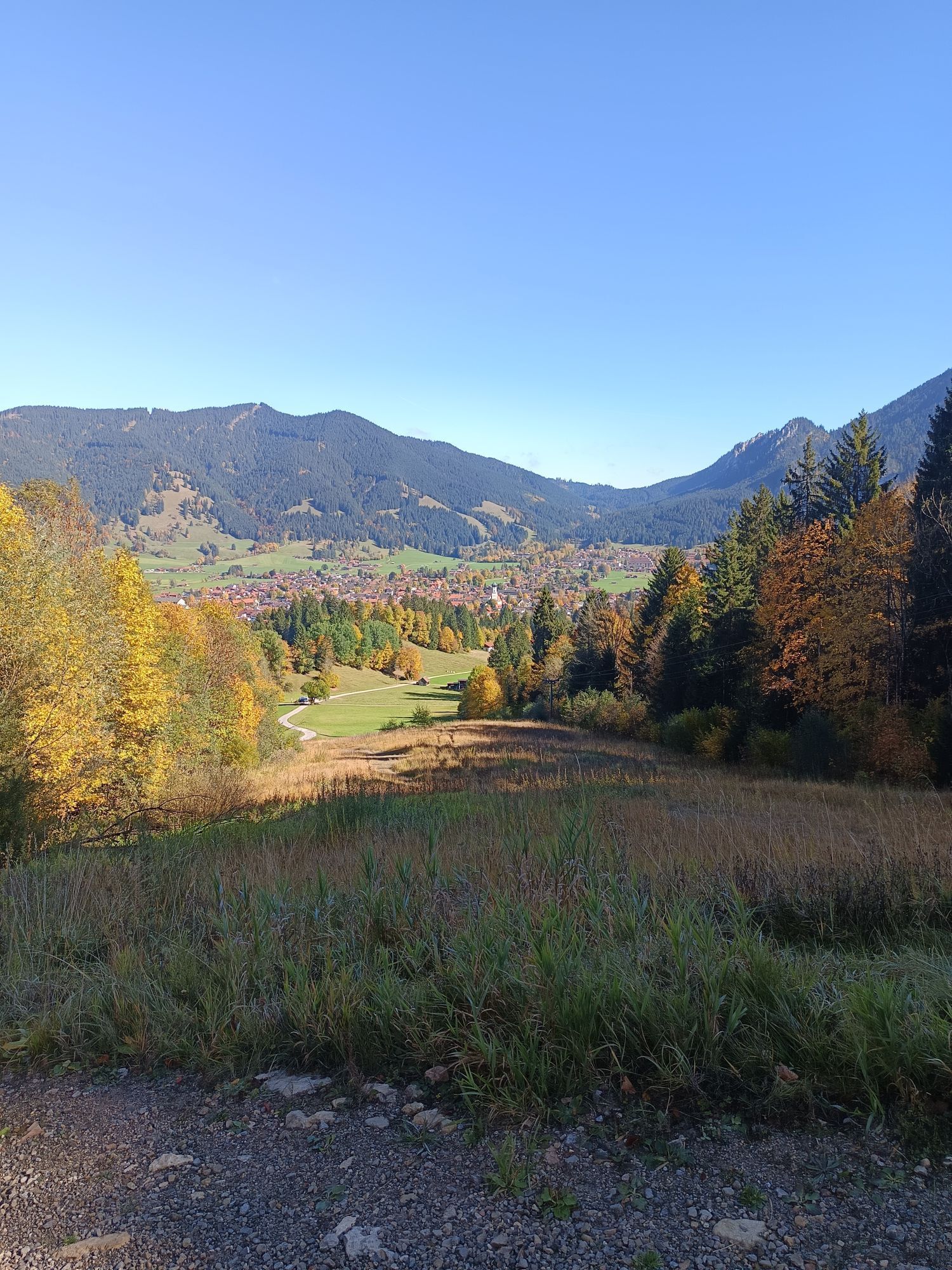
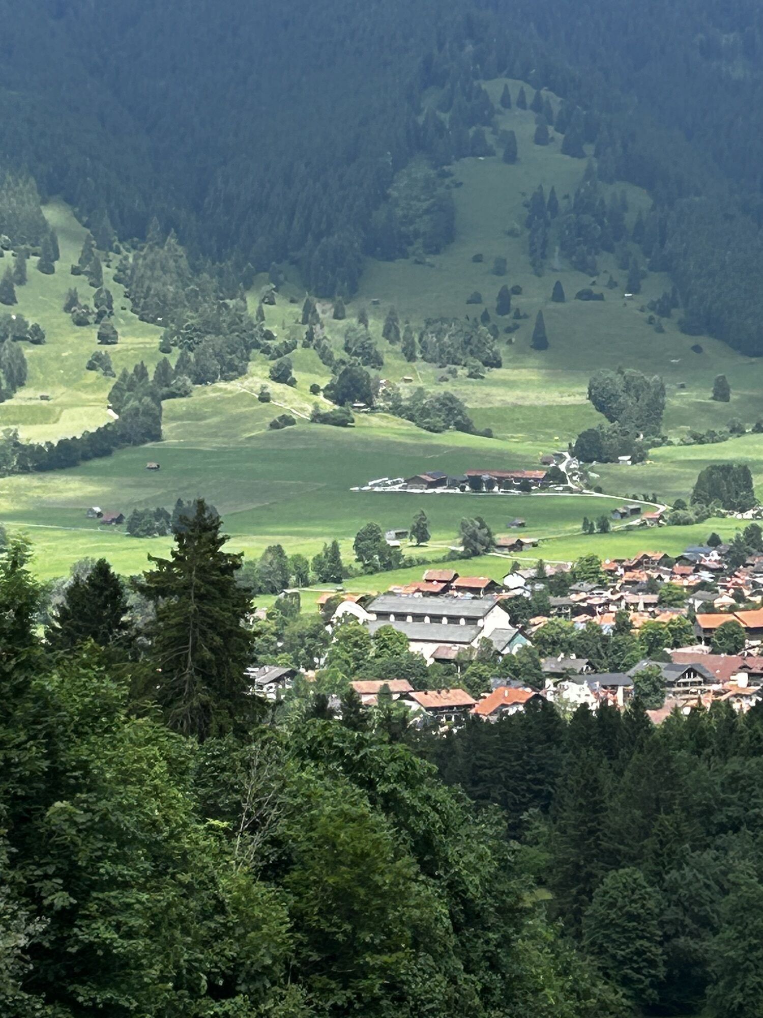
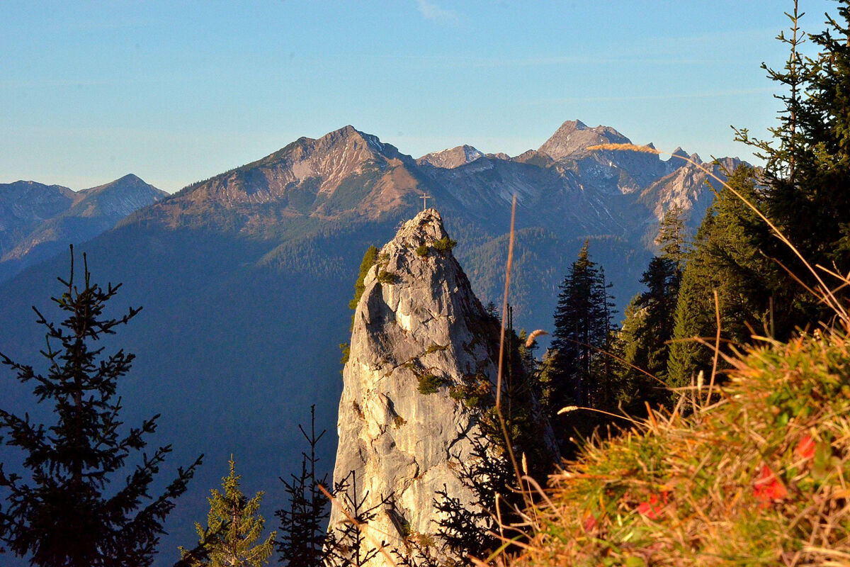
At the end of the route, the sun terrace of the Kolbensattel hut awaits your visit before descending via the Crucifixion group to Oberammergau. Tired hikers can shorten the route to the valley with the Alpine Coaster.
From here, you can take the bus back to Linderhof.
Our recommendation:
Never get lost again - we recommend the free app "Zugspitz Region" with GPX tracks for all routes in the region
Da
Da
Welcome to the Nature Park Teststubn! Here you can extensively test hiking poles, day backpacks, child carriers, and crampons from renowned manufacturers before deciding on a purchase. Let our team advise you to experience the best possible outdoor adventure. You can find our Nature Park Teststubn in the tourist information centers of Bad Bayersoien and Bad Kohlgrub and at the Drahtesel Rental Lukas Spindler in Oberammergau.
More information: www.ammergauer-alpen.de/teststubn
In an emergency, please contact the nearest rescue control center. Regardless of location, you can reach it nationwide in Germany by dialing 112.
A95, B23 via Ettal and Granswang to Linderhof
The start and end point of this route is particularly conveniently accessible by the Ammergebirge ring bus line.
All information about the ring bus can be found here: www.ammergauer-alpen.de/ringbus
Parking lot Schloss Linderhof, Linderhof
Tired hikers shorten the route from the Kolbensattel hut with a ride on the Alpine Coaster into the valley.
Spletne kamere s turneje

Priljubljeni izleti v okolici
-
4.4
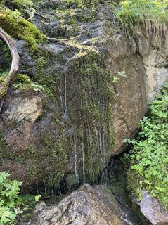
Kuhfluchtwasserfälle
srednjaPohodništvo 1.32 km -
4.5
Mountain route - Teufelstättkopf
srednjaPohodništvo 10.8 km -
4.6
Mountain route - Laber via Soilasee
svetlobaPohodništvo 11.8 km -
4.8
Schafkopf
svetlobaPohodništvo 10.2 km -
4.6
Laber - Ettaler Mandl
svetlobaPohodništvo 9.10 km -
4.5
Schönjöchl am Plansee
srednjaPohodništvo 7.21 km -
4.5
Rundwanderweg um den Eibsee
svetlobaPohodništvo 6.89 km -
4.4
Wank / Garmisch-Partenkirchen
srednjaPohodništvo 11.8 km -
4.5
Mountain tour - Kofel
srednjaPohodništvo 11.3 km -
4.7
Hochplatte
srednjaPohodništvo 10.4 km

Pohodništvo in sledenje


Ne zamudite ponudb in navdiha za naslednje počitnice
Vaš e-poštni naslov je bil dodan na poštni seznam.