





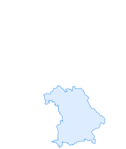

Thalkirchdorf - Denneberg - Klammen
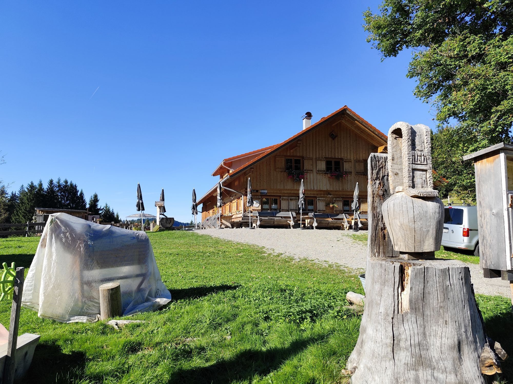
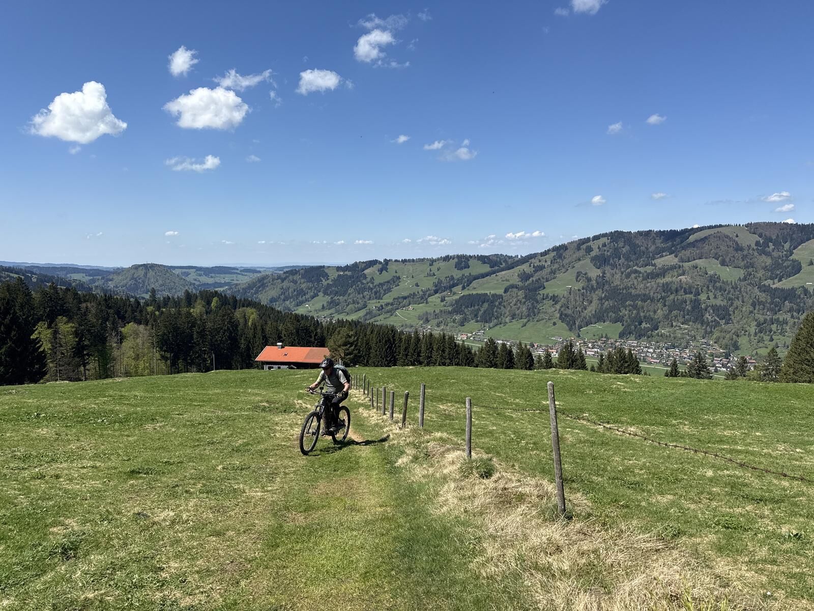
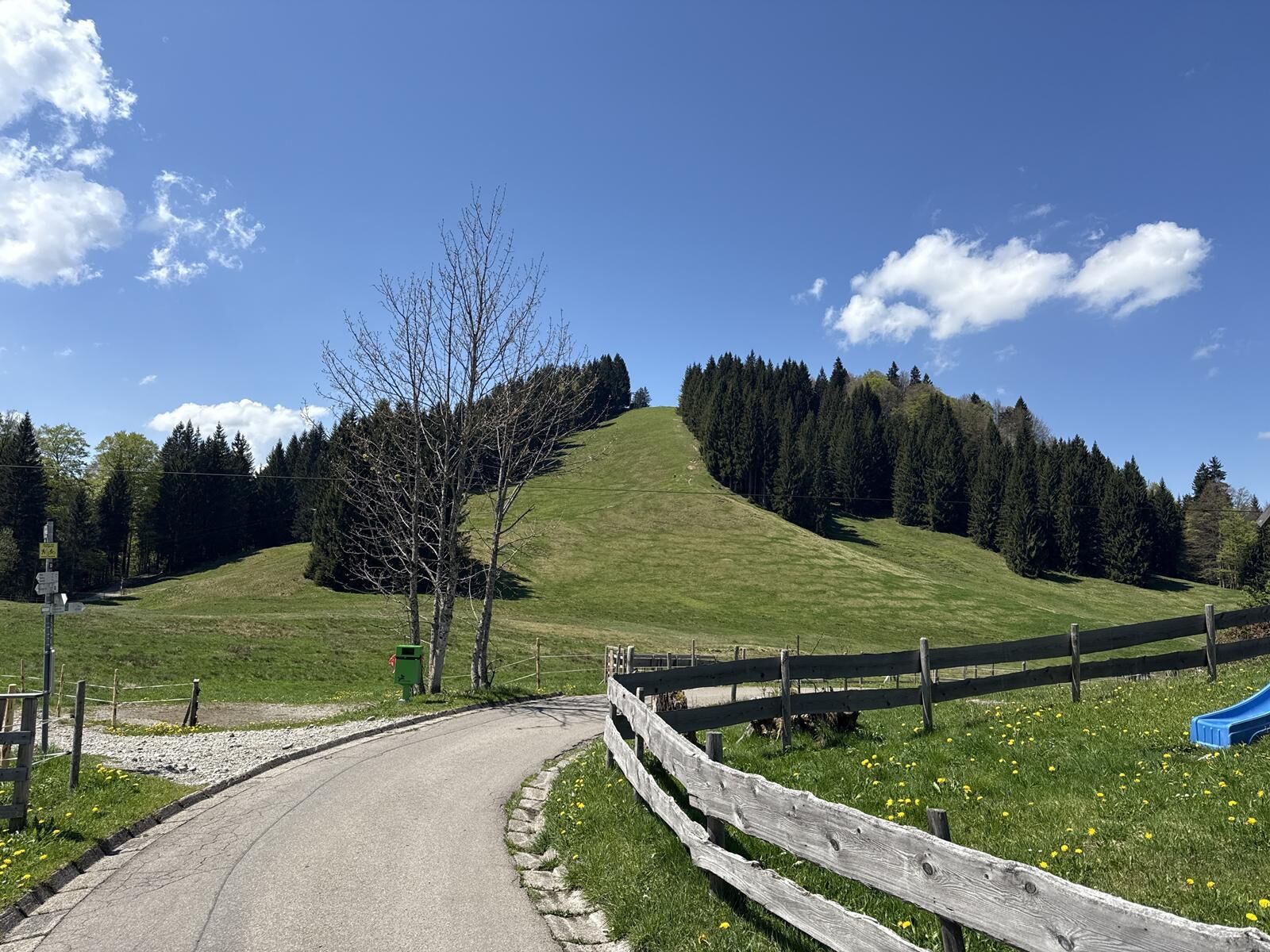
From the Festsaal, pass the outdoor swimming pool, follow the stream to the sawmill. On the paved Schwandweg up past the mountain inn Schwändle and the Moosalpe (operated during the season) until just...
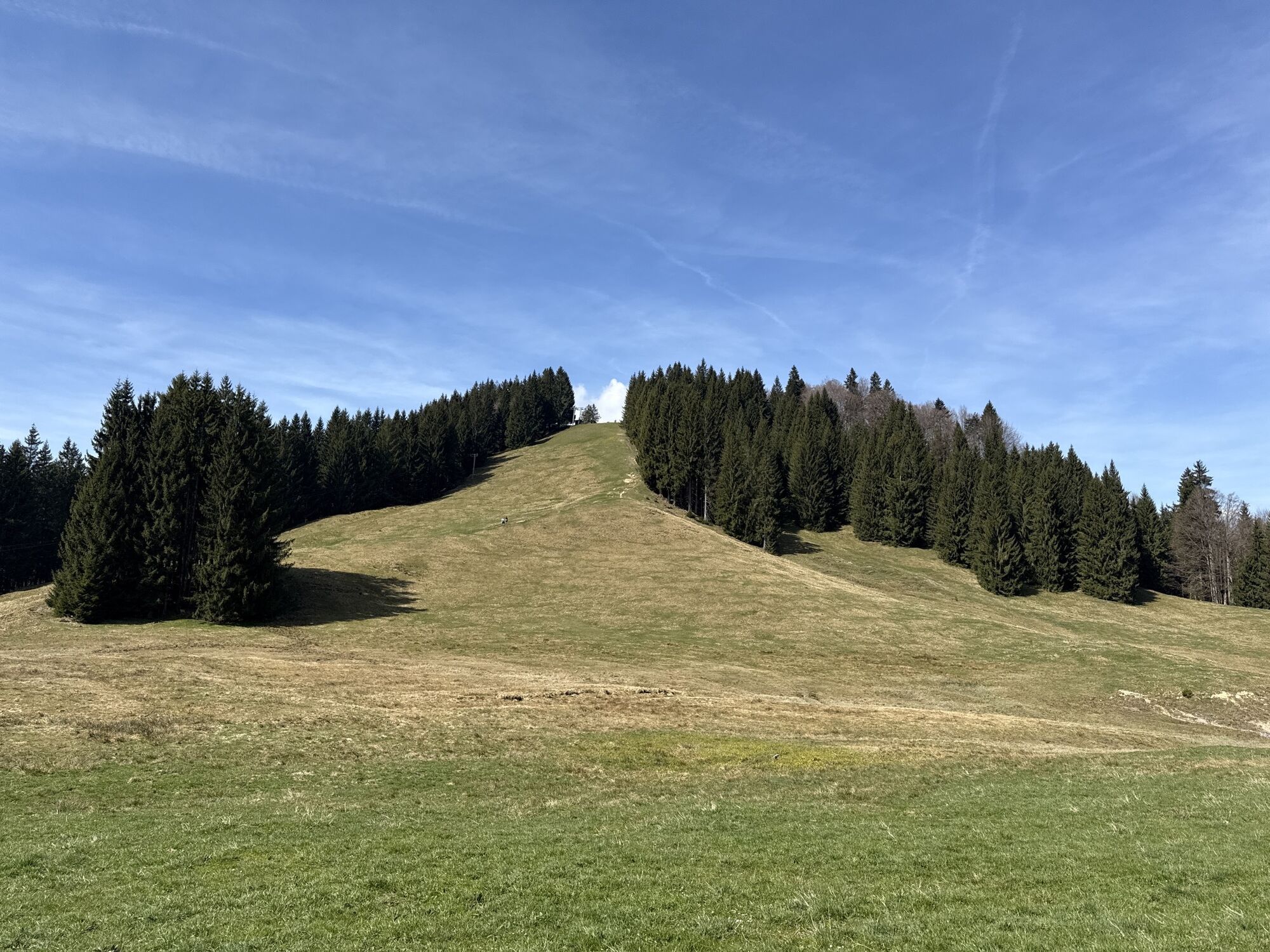
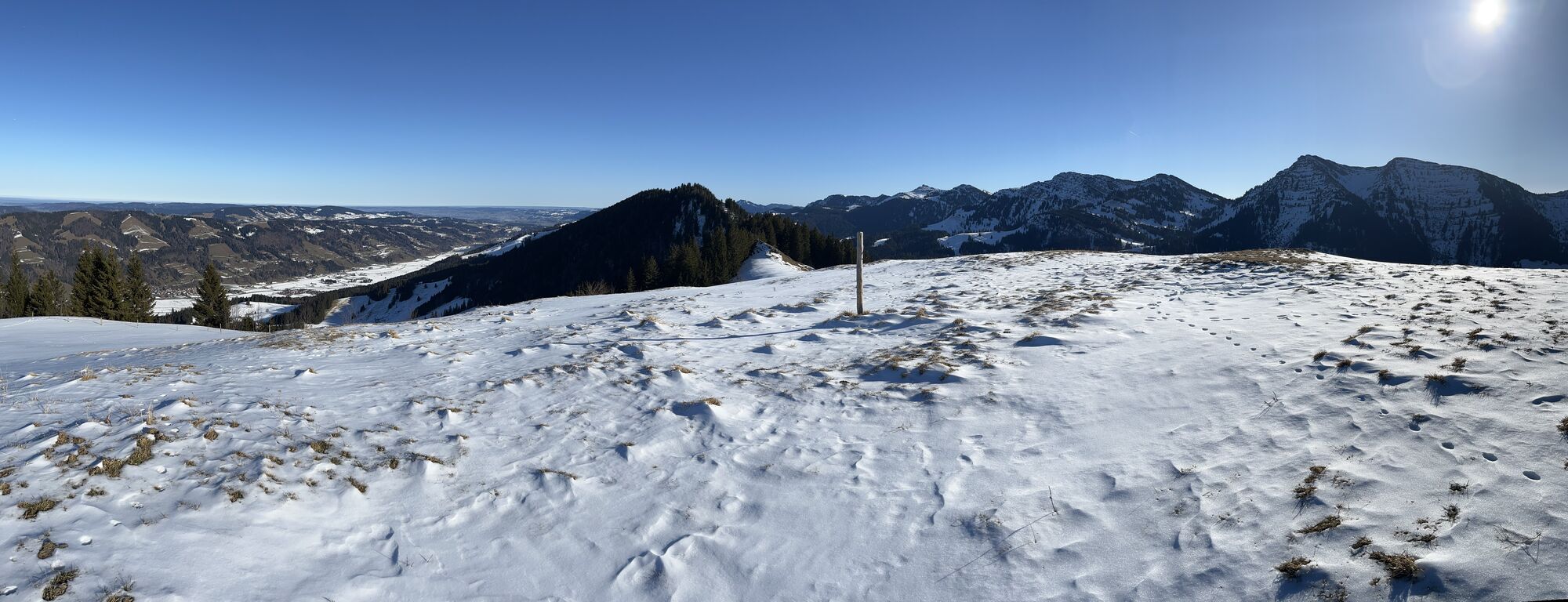
From the Festsaal, pass the outdoor swimming pool, follow the stream to the sawmill. On the paved Schwandweg up past the mountain inn Schwändle and the Moosalpe (operated during the season) until just before the highest point of the path. Turn right here and follow the gravel path to the mountain station of the drag lift. It continues uphill, later steeply uphill in switchbacks through the mixed forest up to the ridge. Hold left there and go over the summit of Denneberg (1,427 m) to Klammen (1,470 m).
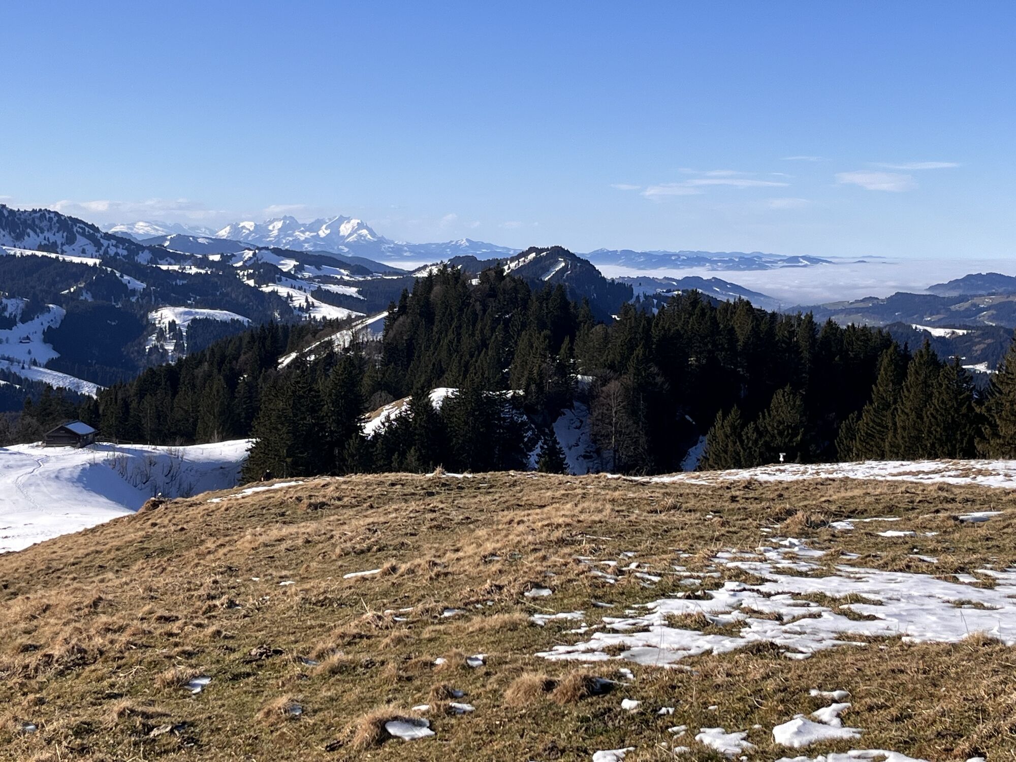
The view of the distinctive Nagelfluh ridge is impressive on this section. The descent follows before the terrain cut. In switchbacks, descend left through the spruce forest down to the Schaffner Alpe. Here again turn left over the Kuhschwand Alpe (place to stop for refreshments) down into the valley. At the entrance to Osterdorf, then turn left on the sidewalk back to the starting point in Thalkirchdorf.


Festsaal Thalkirchdorf - Schwandweg - Moosalpe - Denneberg - Klammen - Kuhschwand Alpe - Thalkirchdorf
B308 to Thalkirchdorf.
Festsaal Thalkirchdorf
Get preliminary info about the weather conditions
Stay on the marked paths
112 emergency call or emergency app SOS-EU-ALP
Pridobite vpogled Vedno v živo na mestu z več kot 9.500 spletnimi kamerami. bergfex Kot uporabnik Pro si lahko zdaj ogledate ustrezne spletne kamere za številne izlete v aplikaciji izleti iz. Tako si lahko neposredno ogledate trenutne razmere. Priljubljeni izleti v okolici
- 4.7
Steibis - Buchenegger Waterfalls
srednjaPohodništvo 6.47 km - 4.6
Hittisau | Wasserwanderweg
svetlobaTematska pot 7 km - 4.8
Rindalphorn und Hochgrat
srednjaPohodništvo 15.6 km - 5.0
Nagelfluh ridge route Hochgrat - Mittag
težkoPohodništvo 14.0 km - 4.9
Immenstädter Horn
svetlobaPohodništvo 9.35 km - 4.4
Immenstädter Horn - Gschwender Horn
svetlobaPohodništvo 10 km - 5.0
Siedelalpe Runde von See - Immenstadt
svetlobaPohodništvo 10.3 km - 3.7
Rundtour Mittag
svetlobaPohodništvo 15.7 km - 4.5
Circular route Hündle to the Buchenegger Waterfalls
srednjaPohodništvo 9.69 km - 4.4
Circular route Steibis to Dreiländerblick
srednjaPohodništvo 7.95 km
Pohodništvo in sledenje


Ne zamudite ponudb in navdiha za naslednje počitnice
Vaš e-poštni naslov je bil dodan na poštni seznam.





