







Aueralm and Fockenstein
Stopnja težavnosti: T1
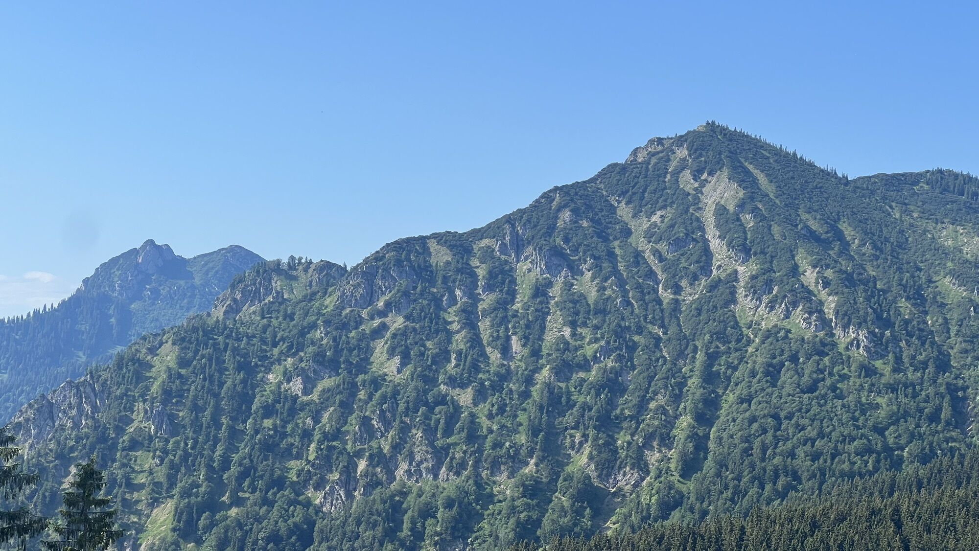
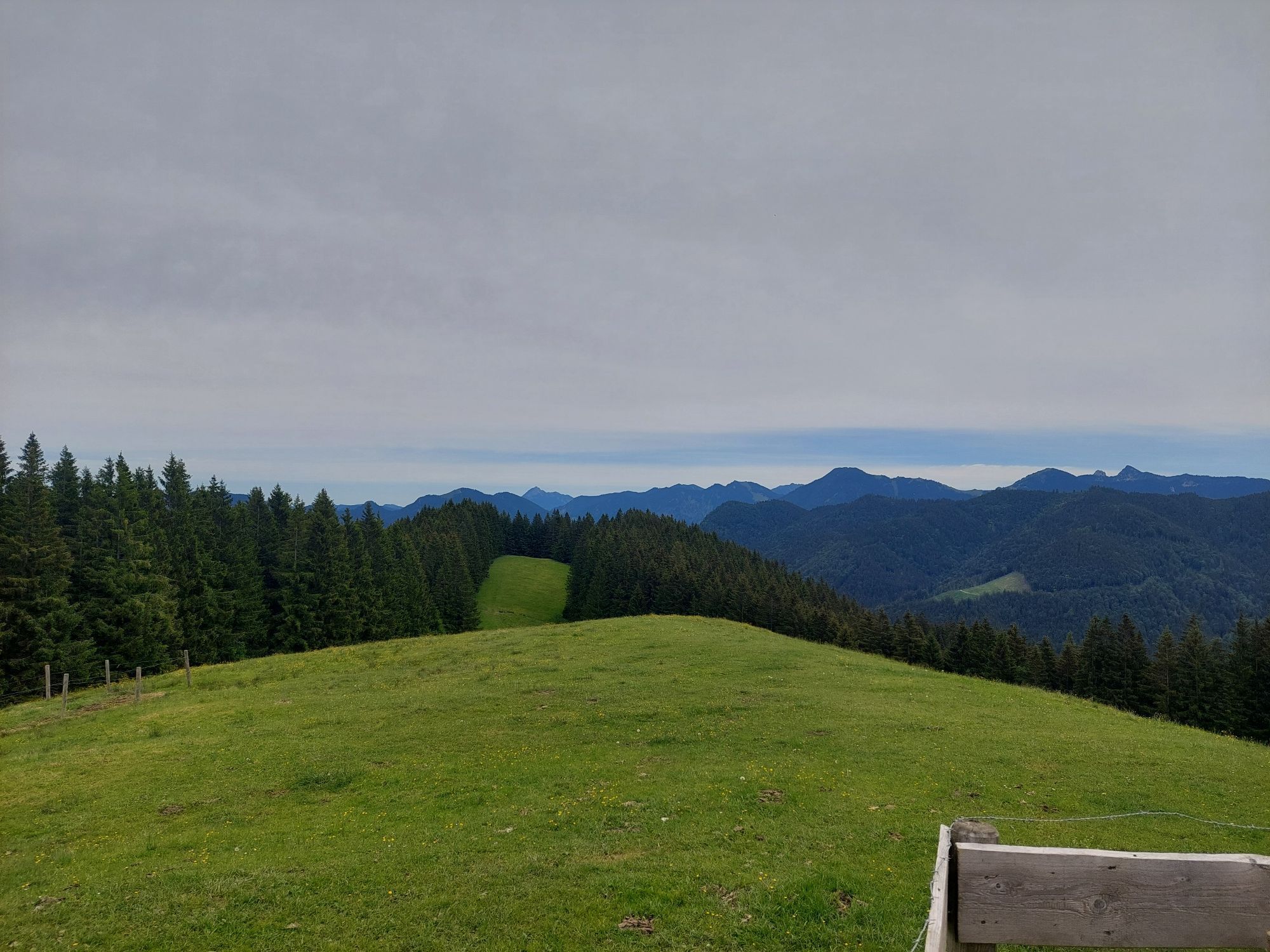
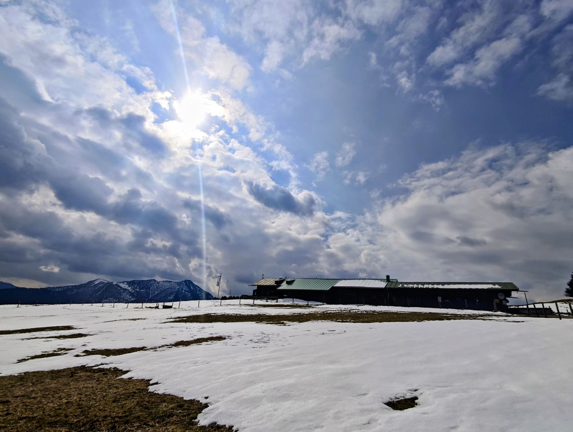
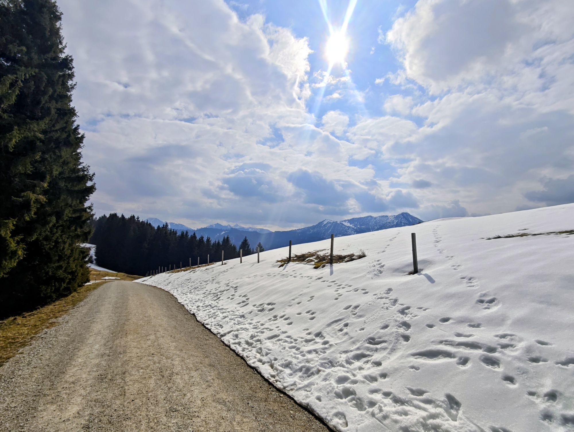
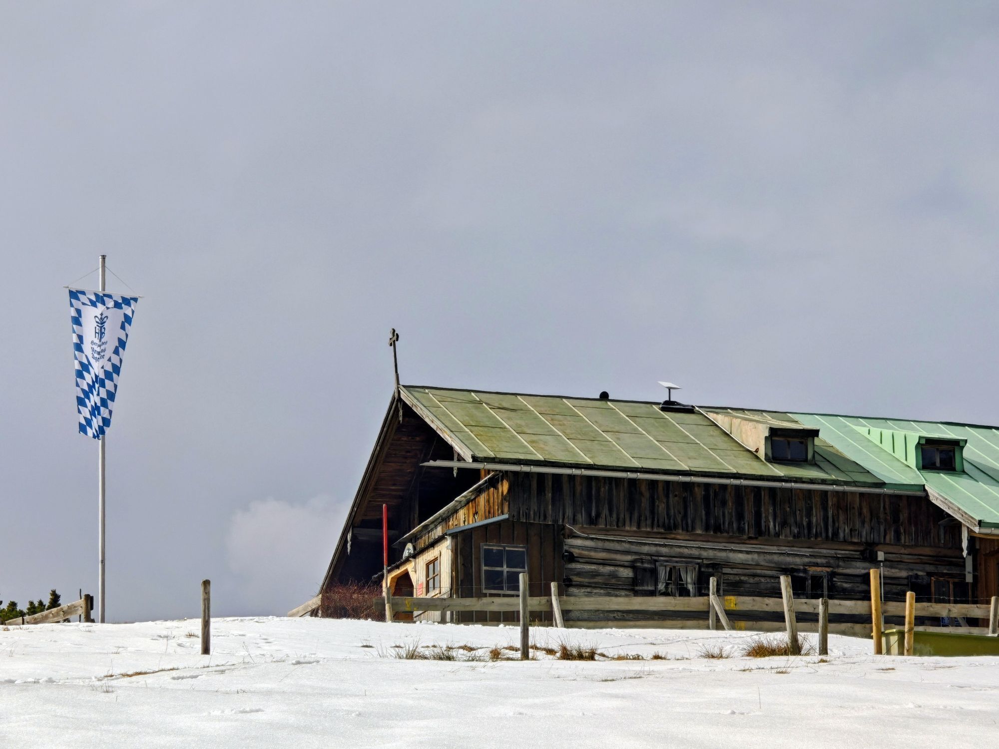
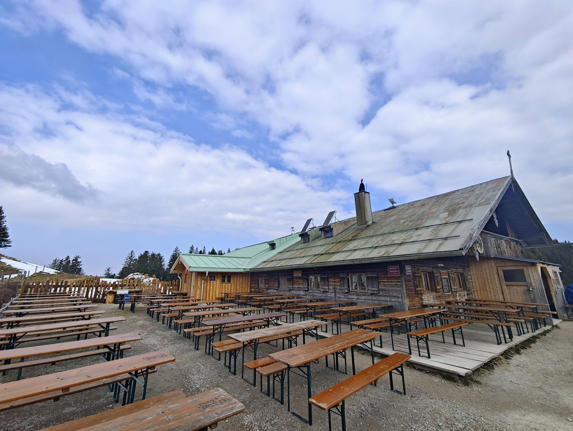
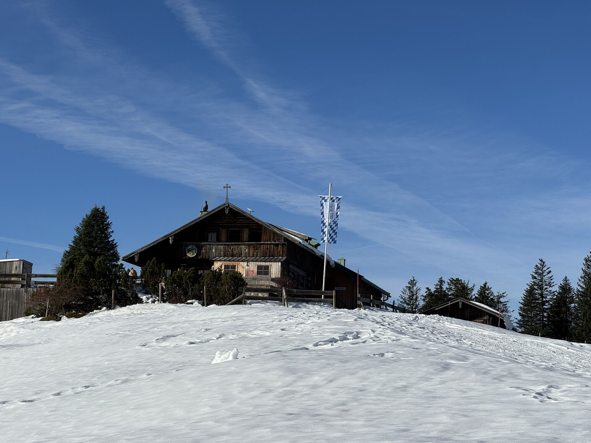

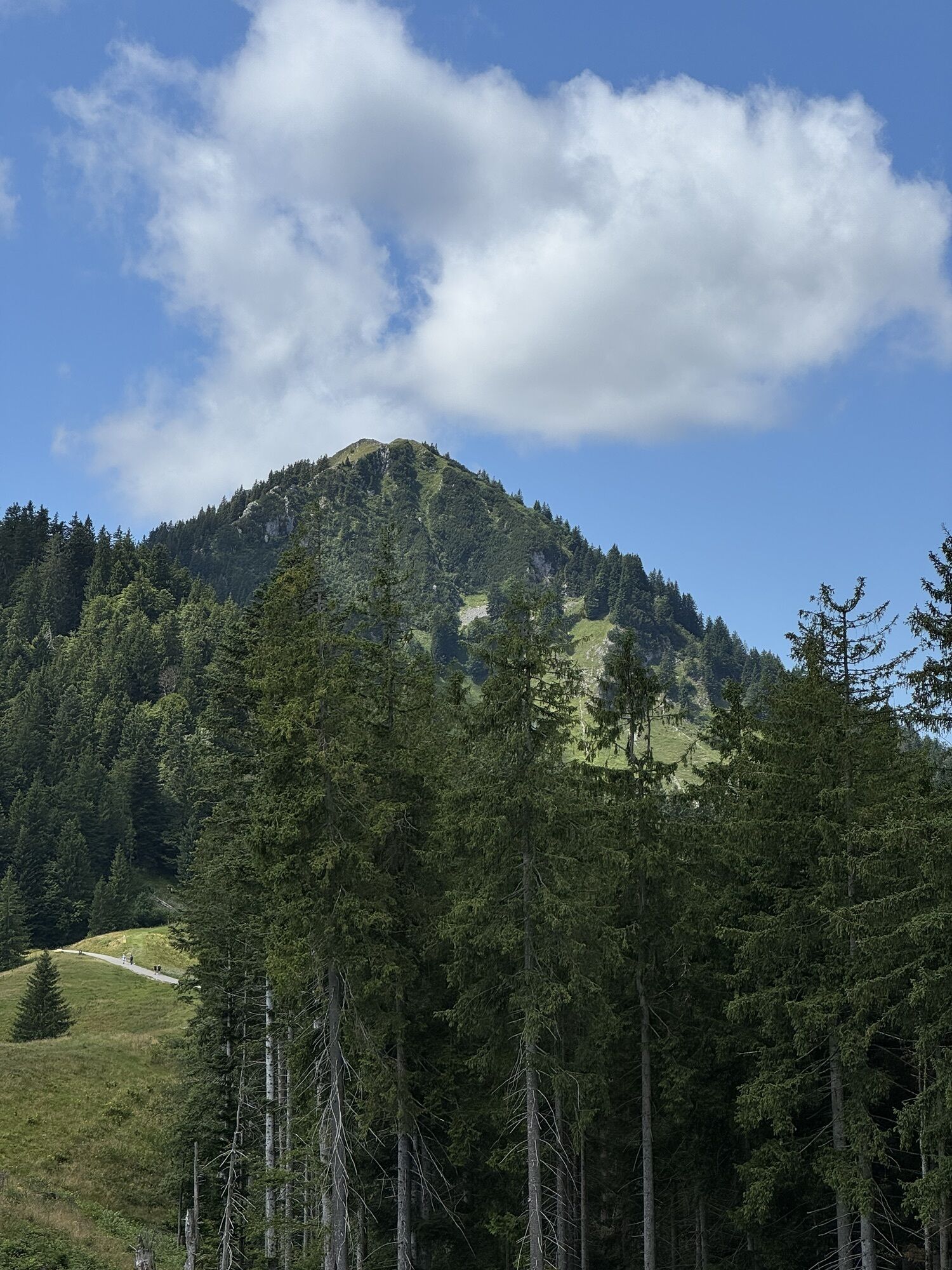
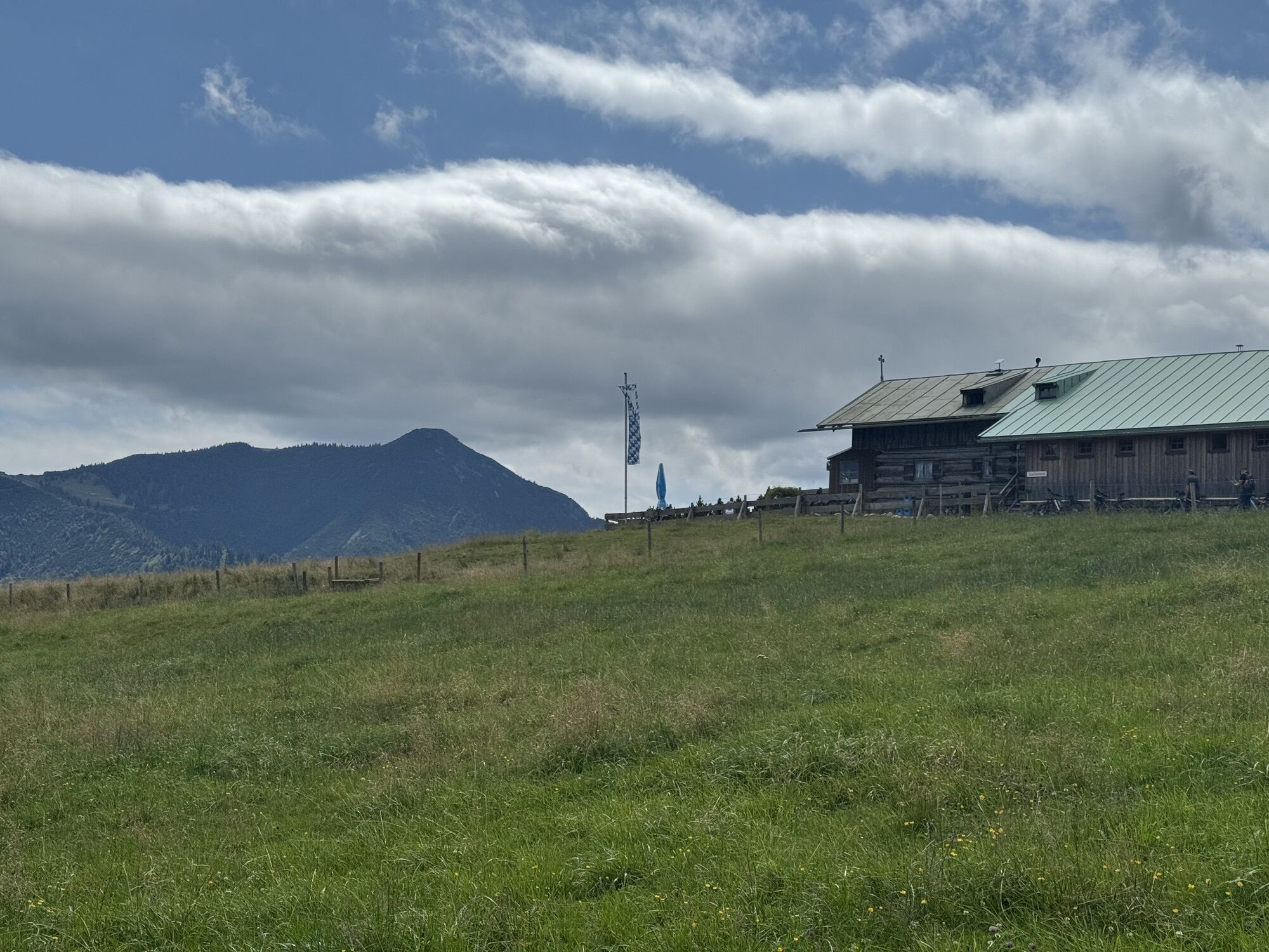
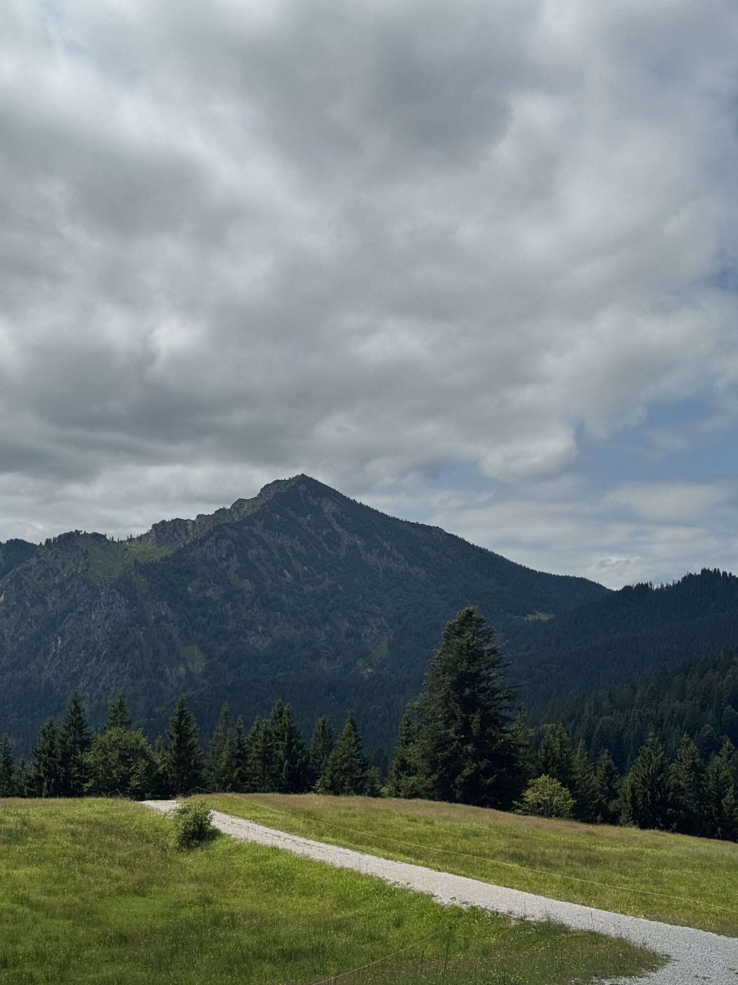
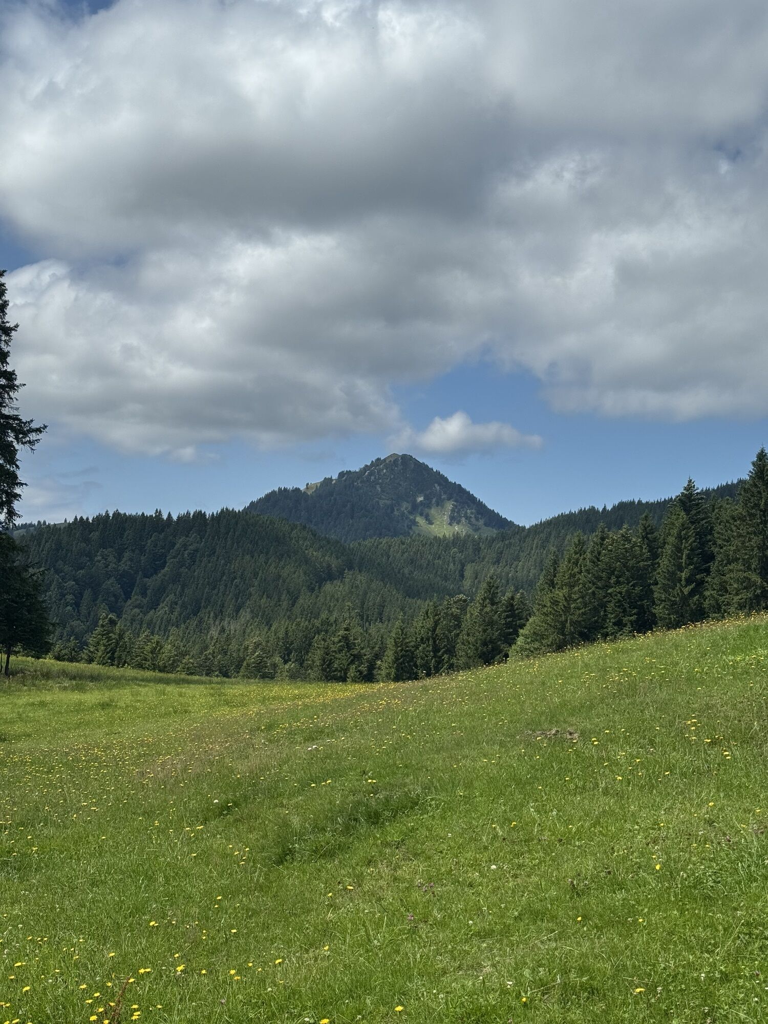

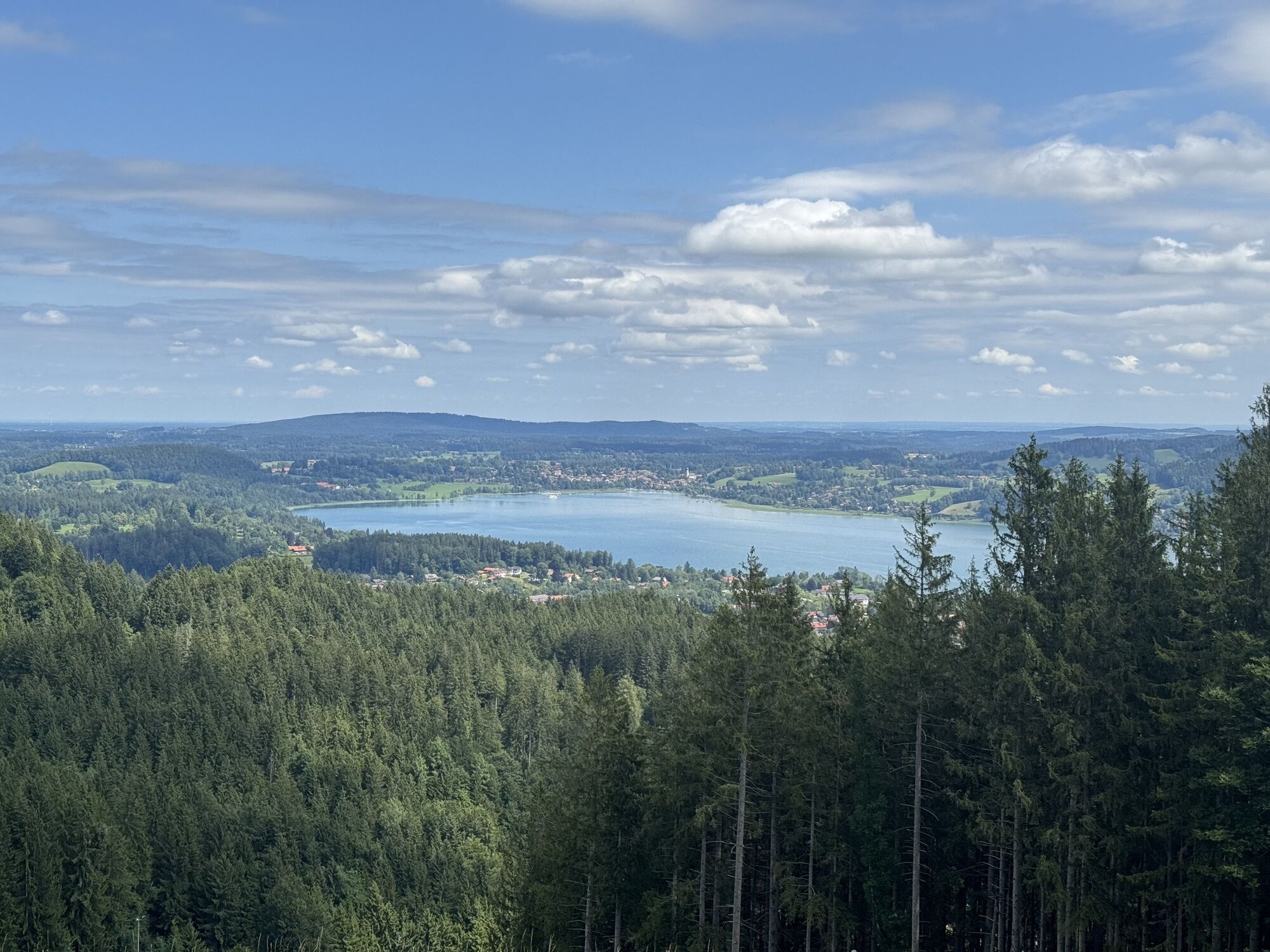
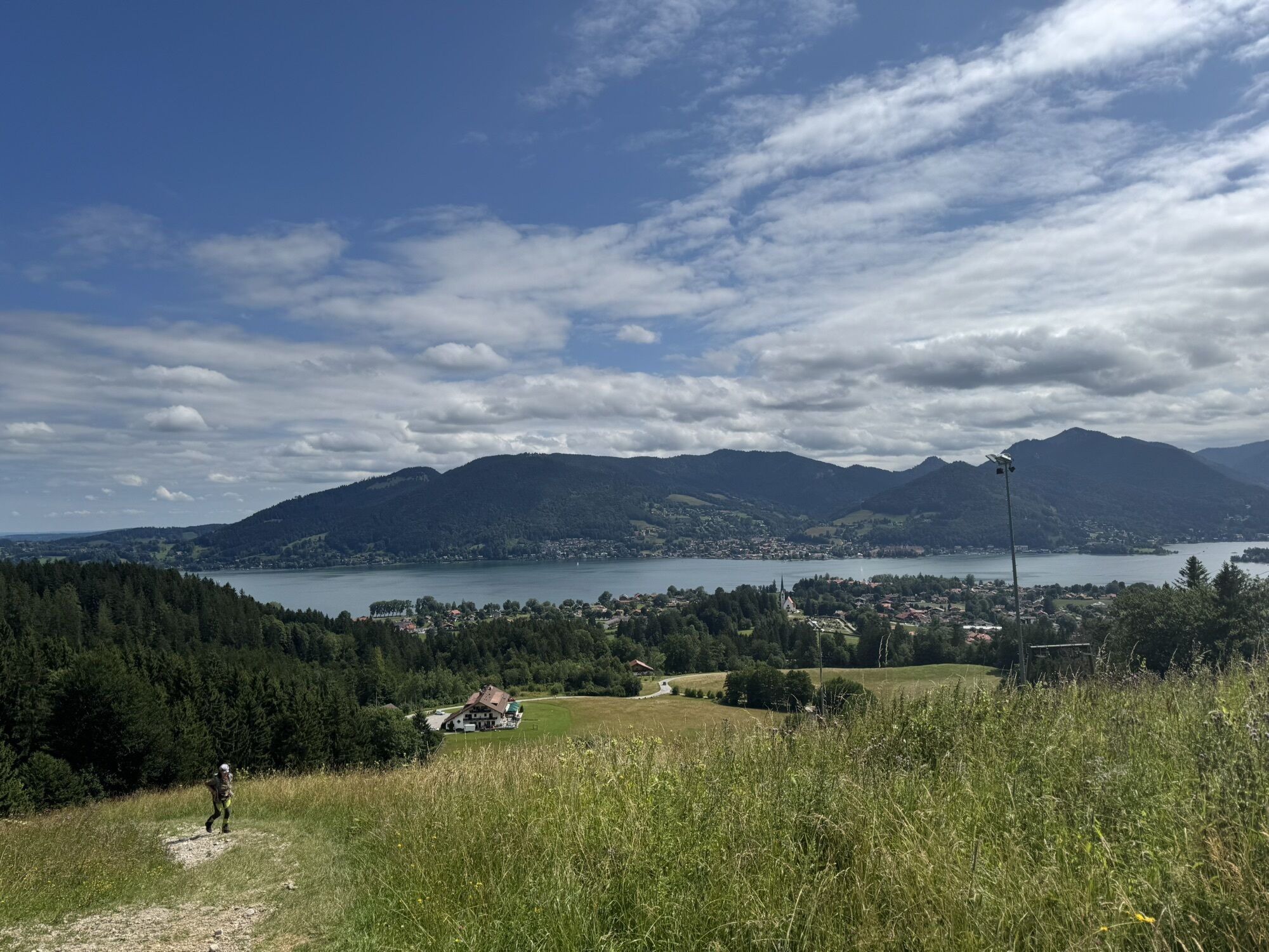
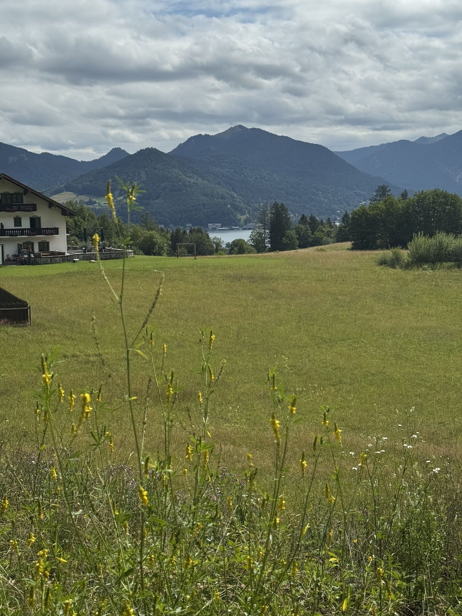
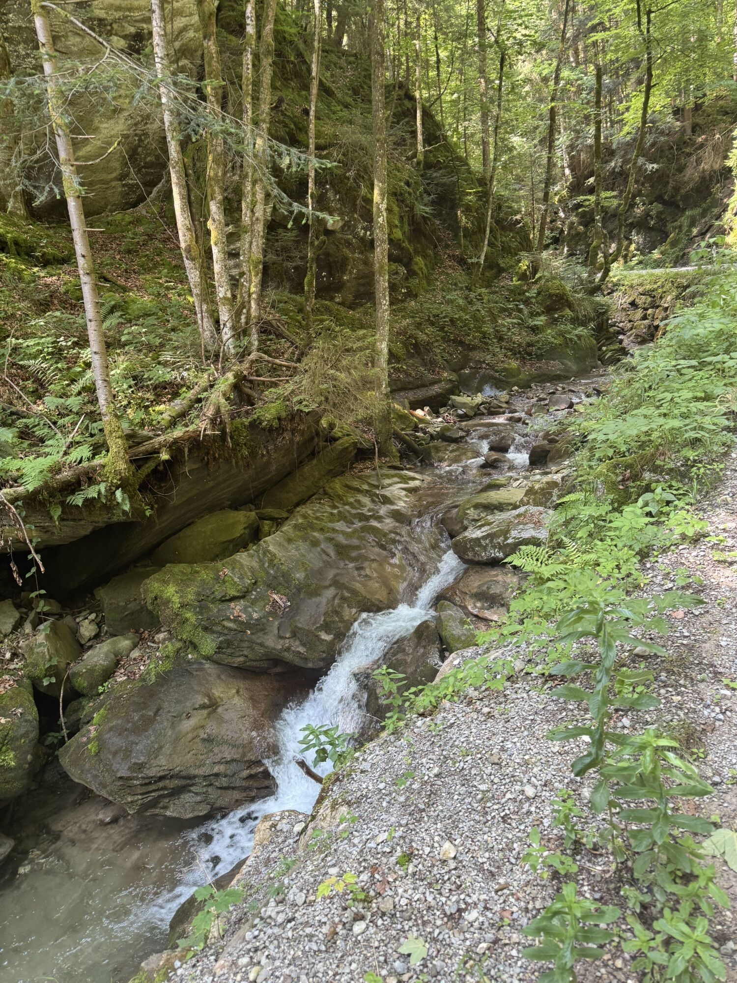
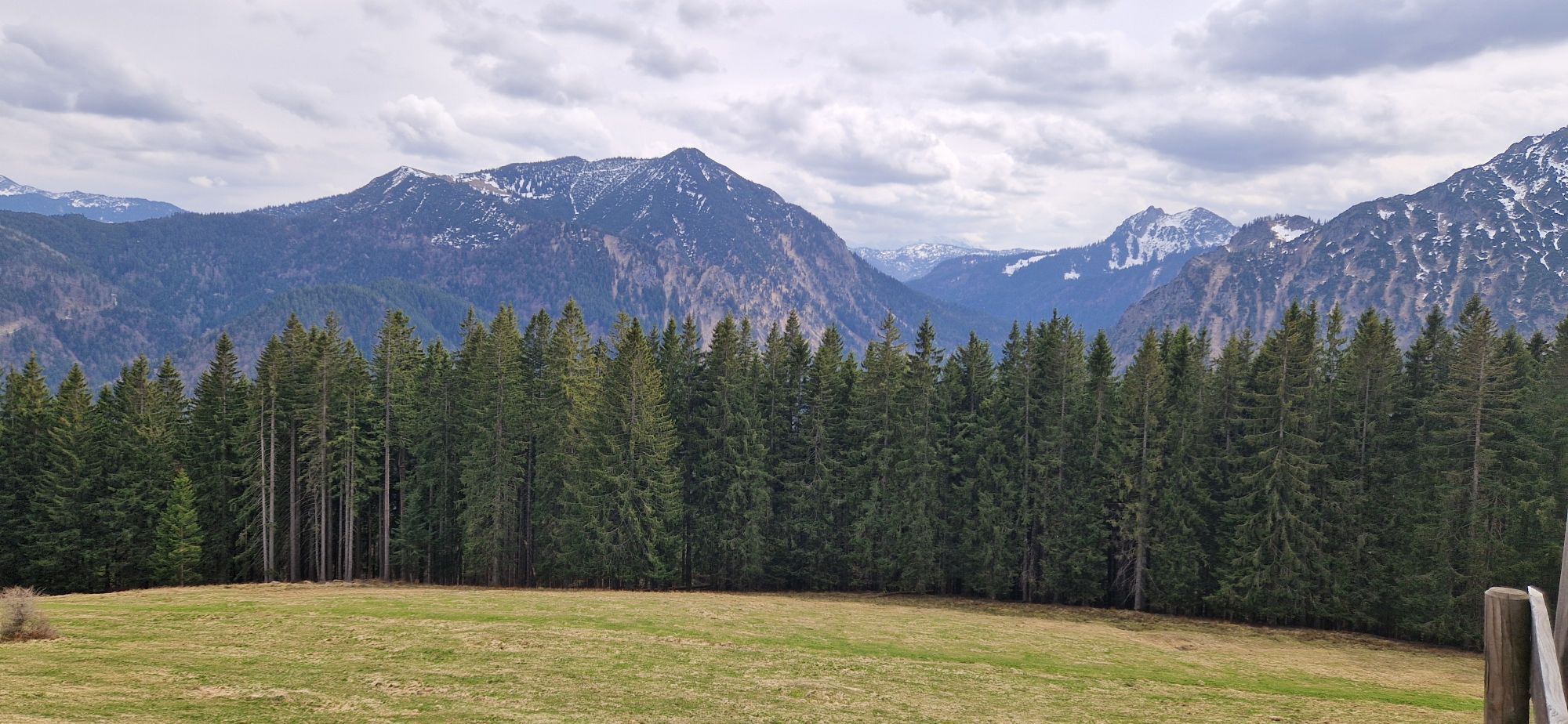
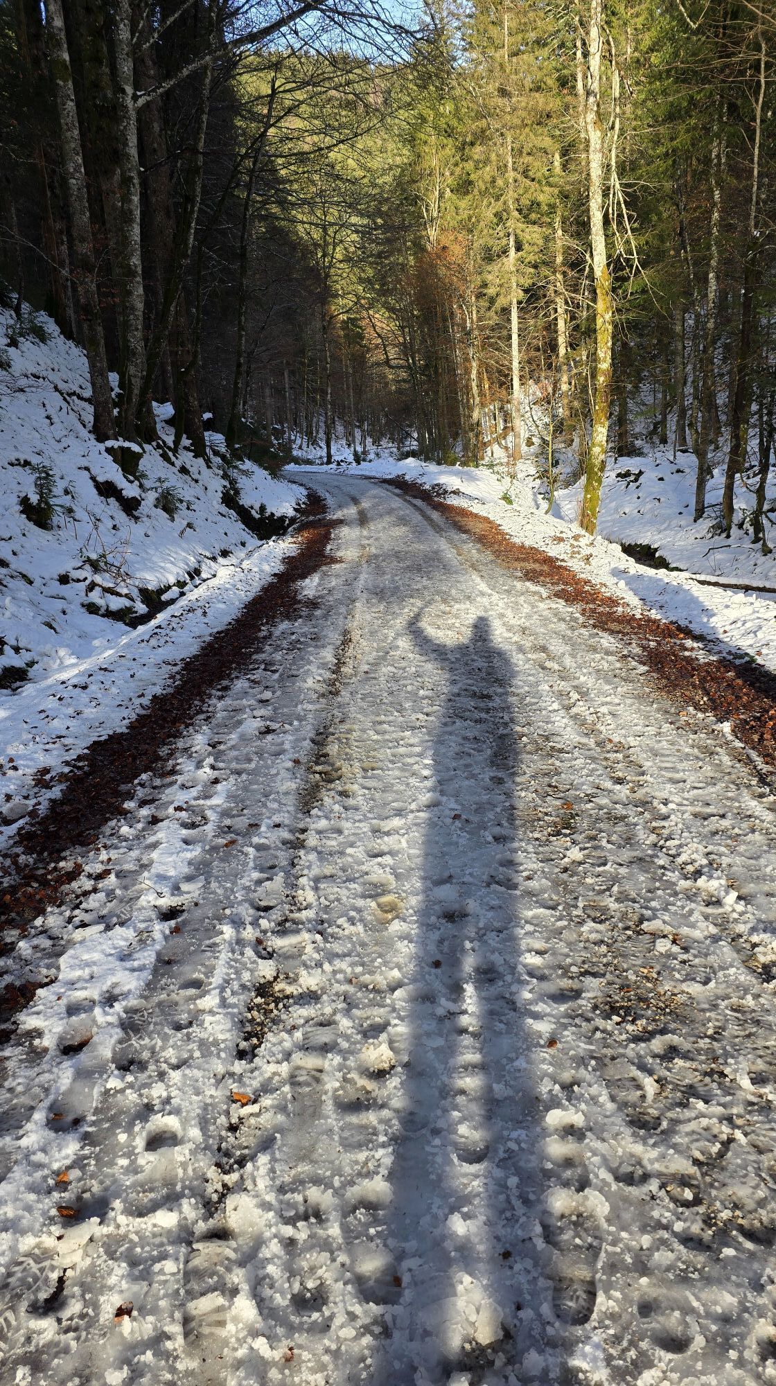
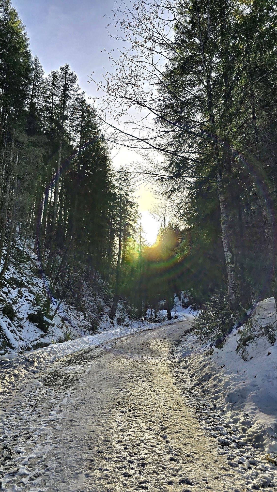
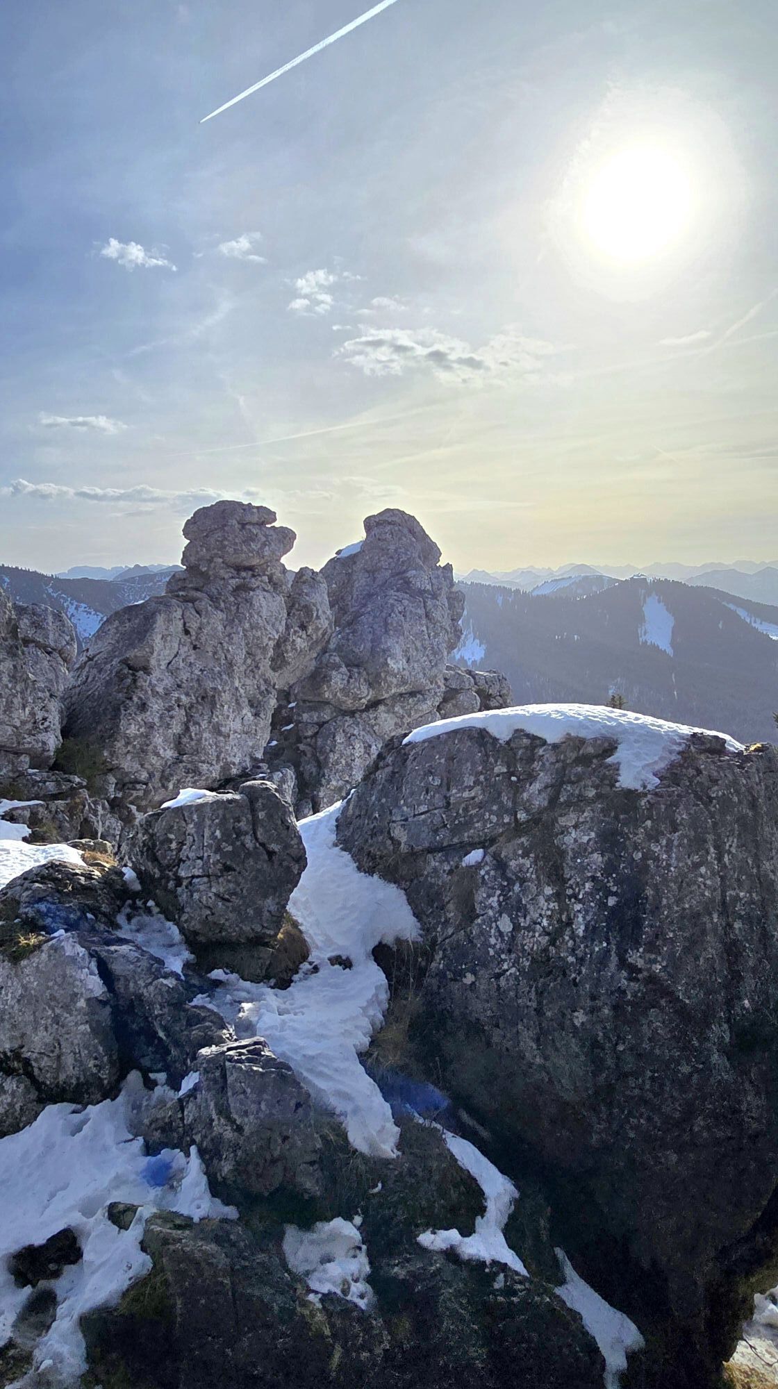
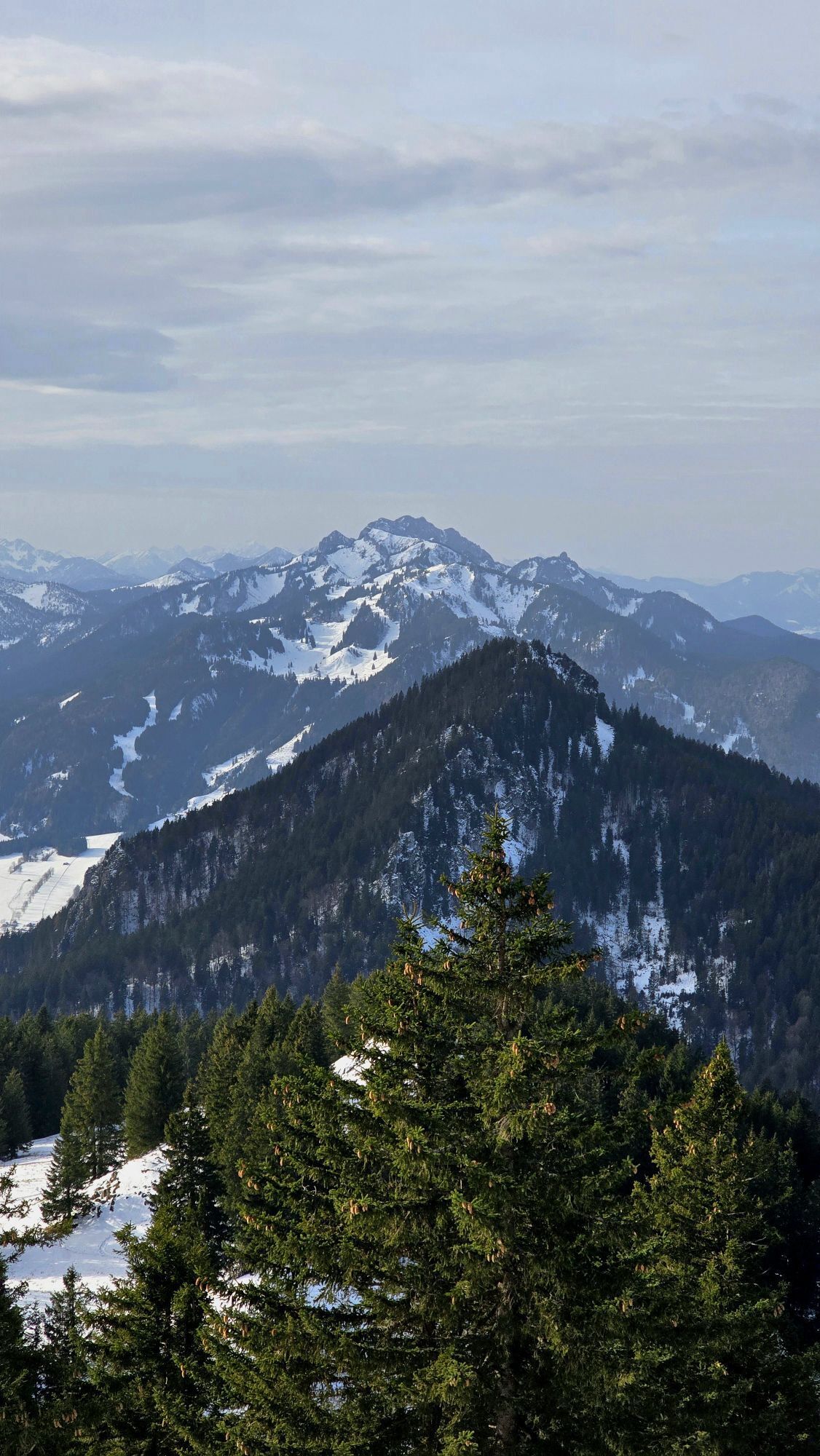
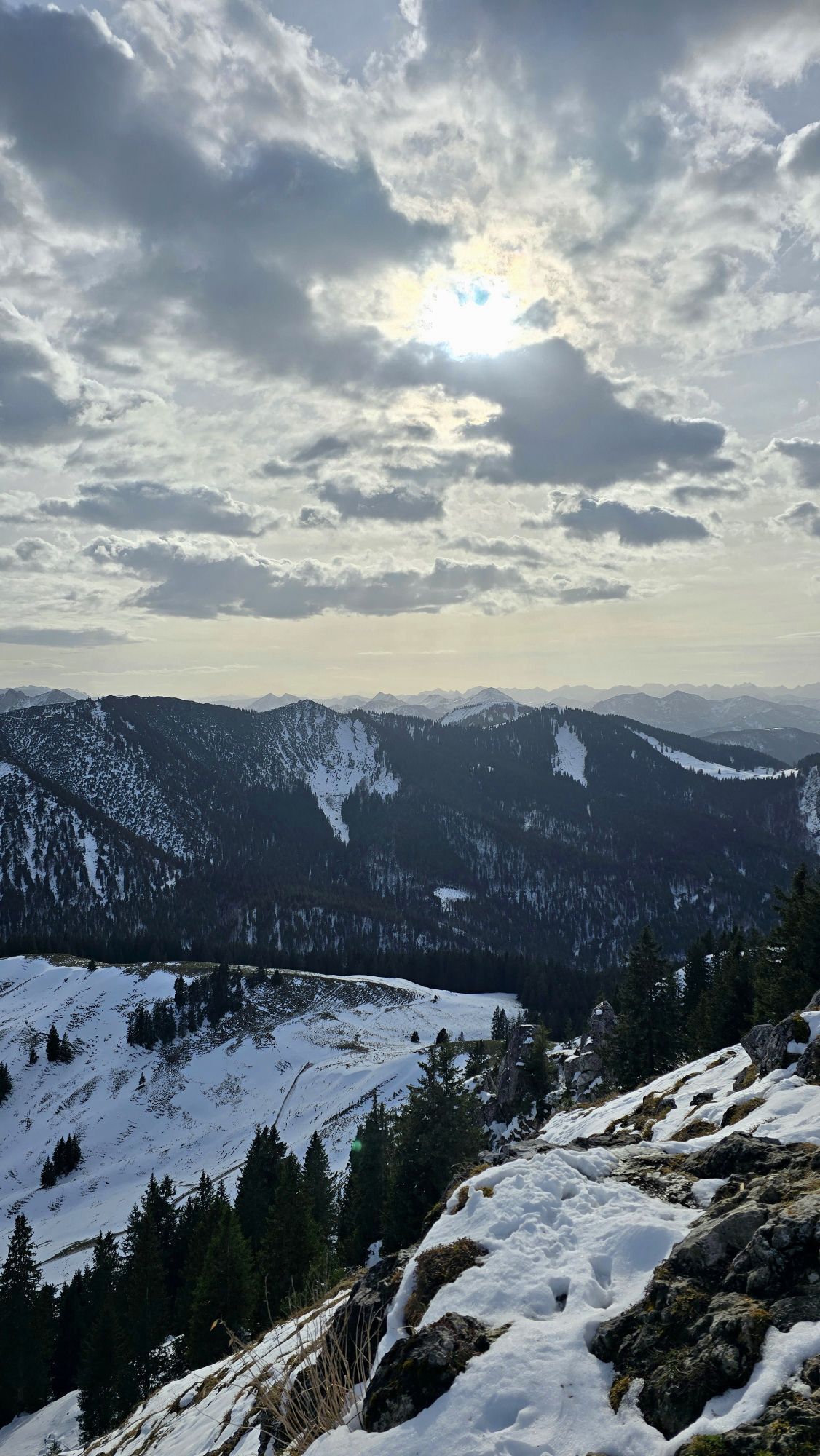
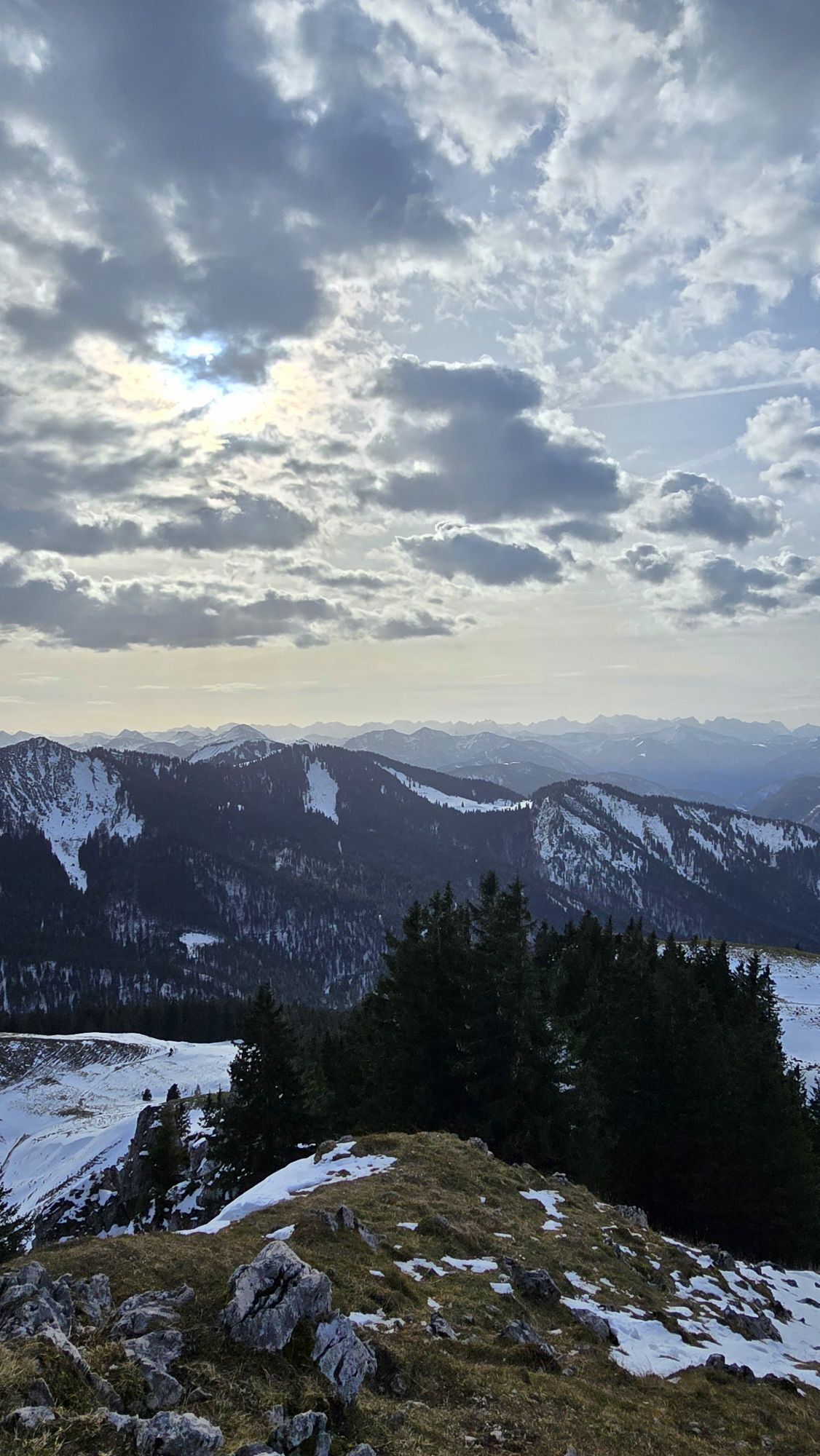
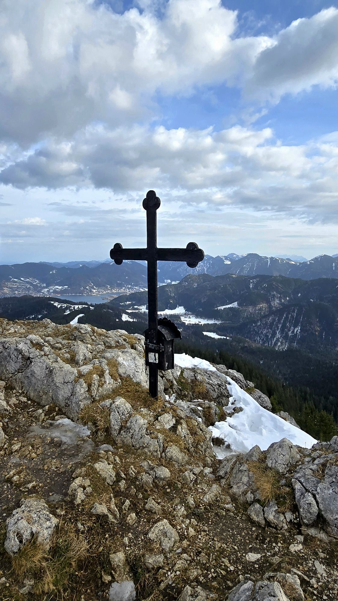
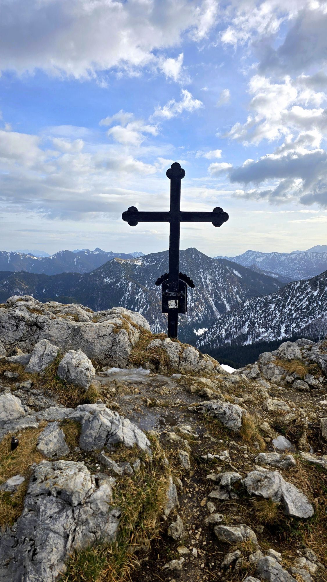
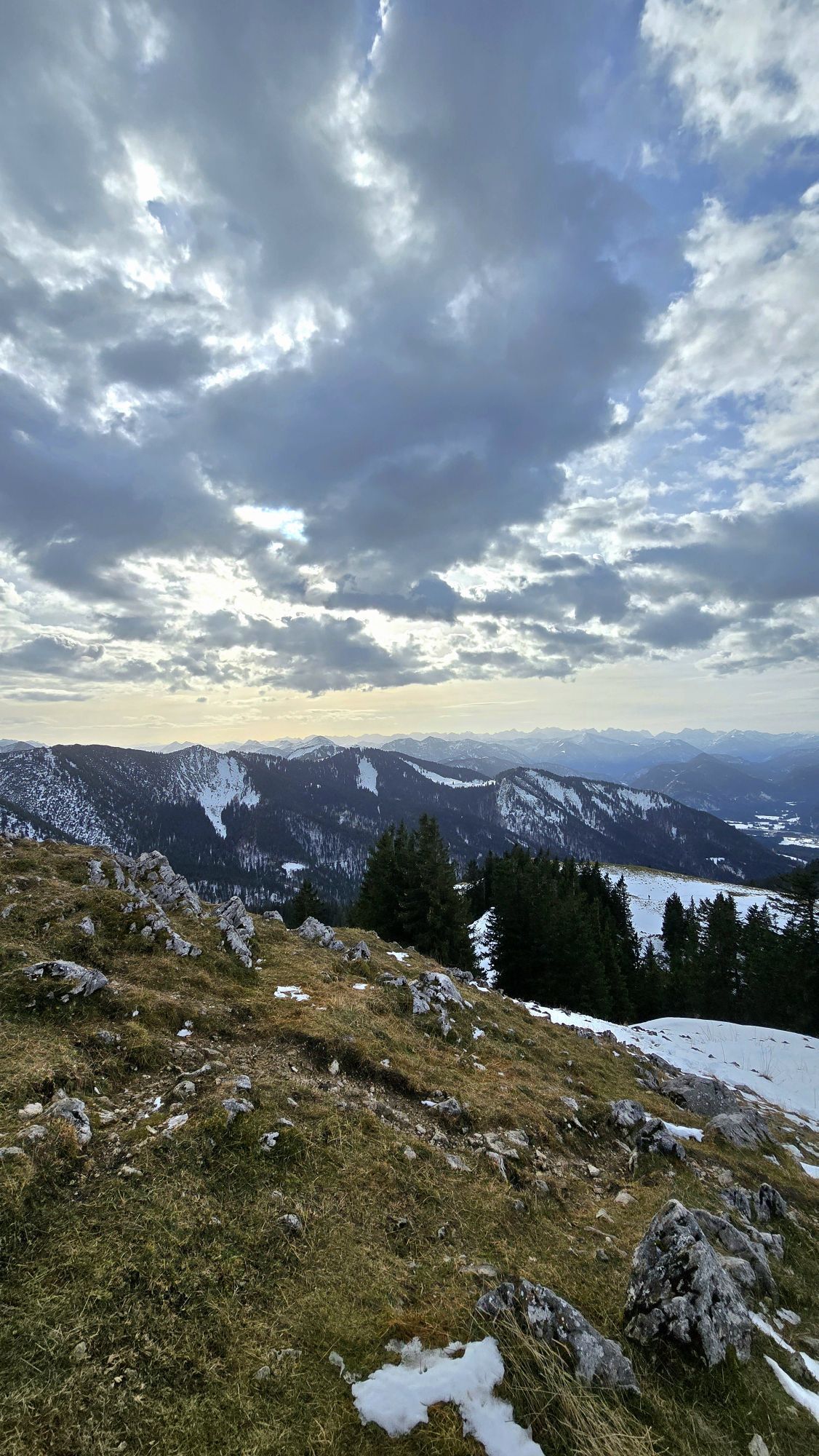
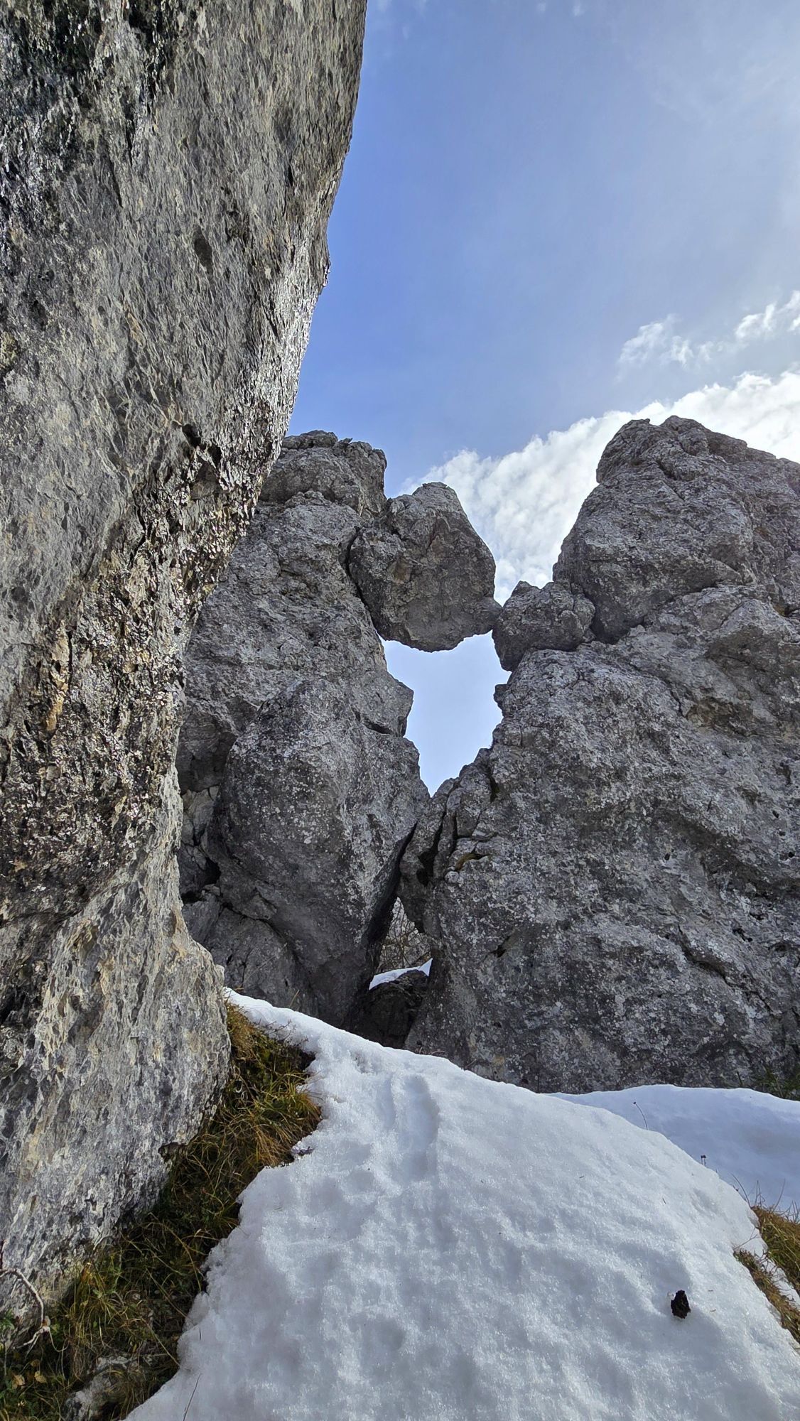
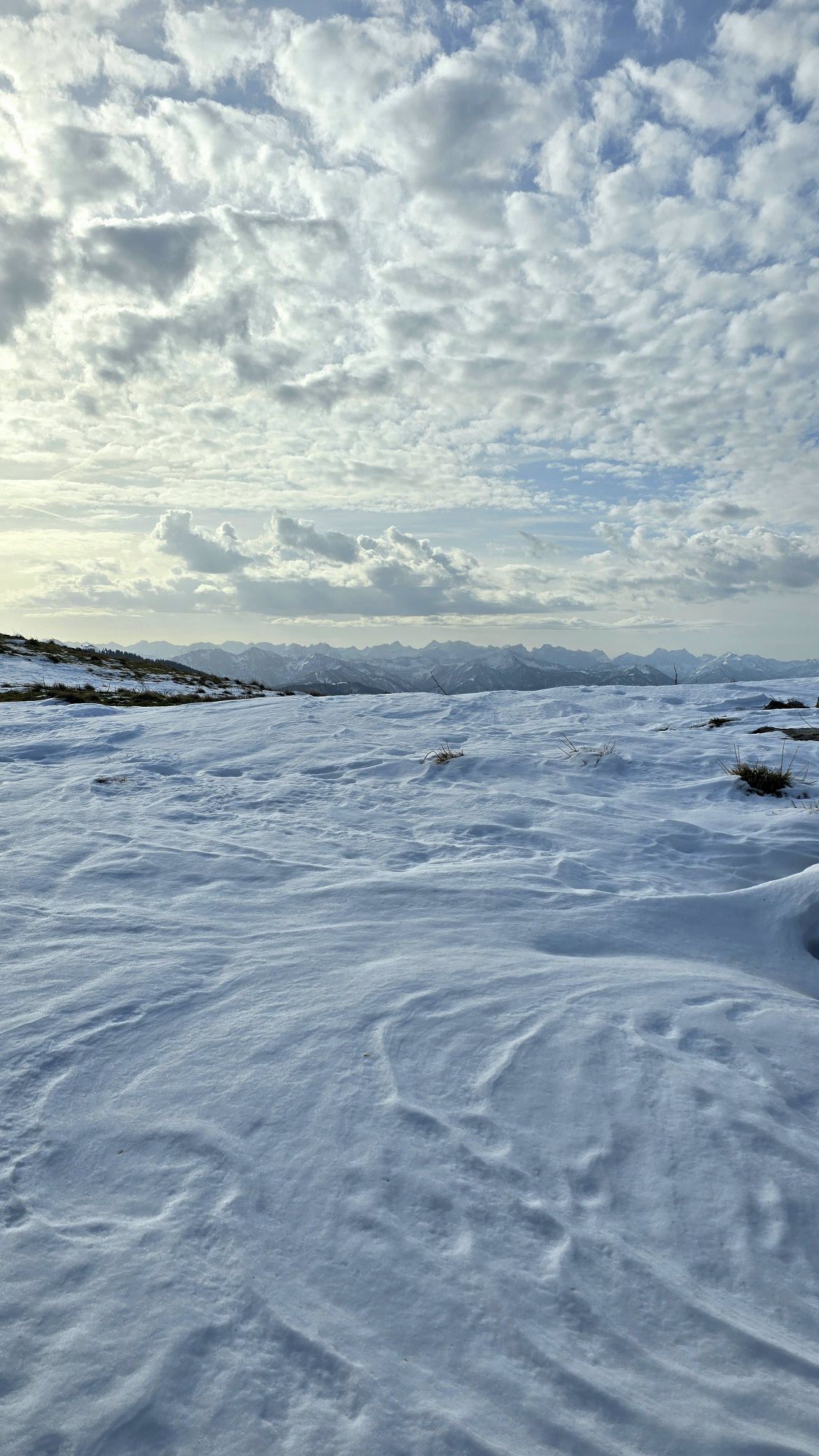
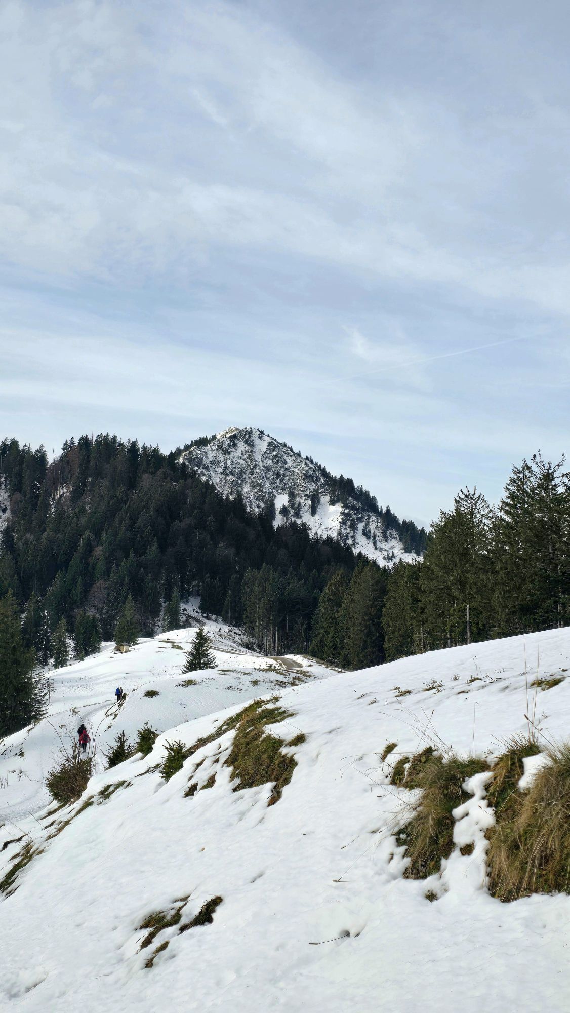
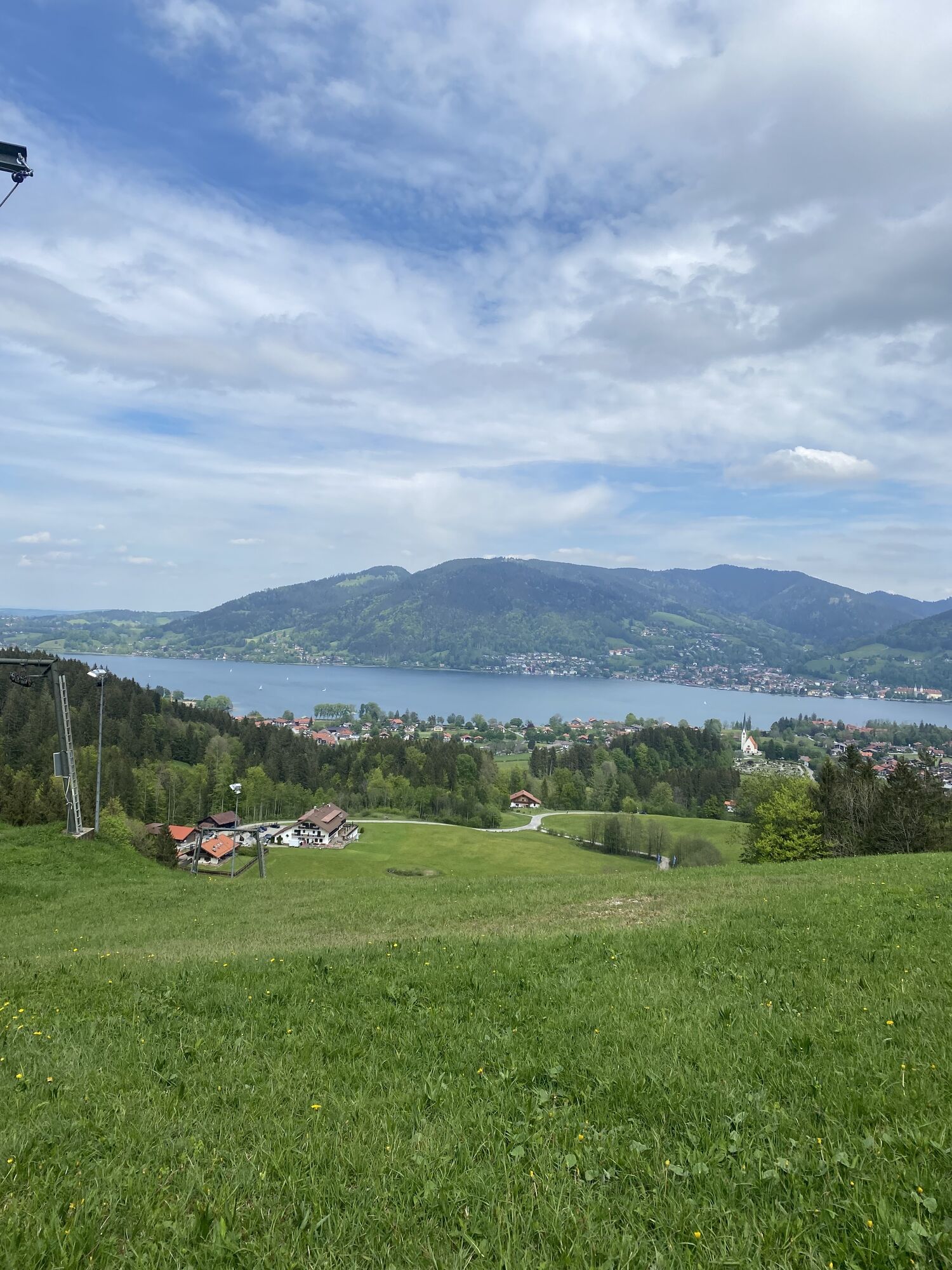
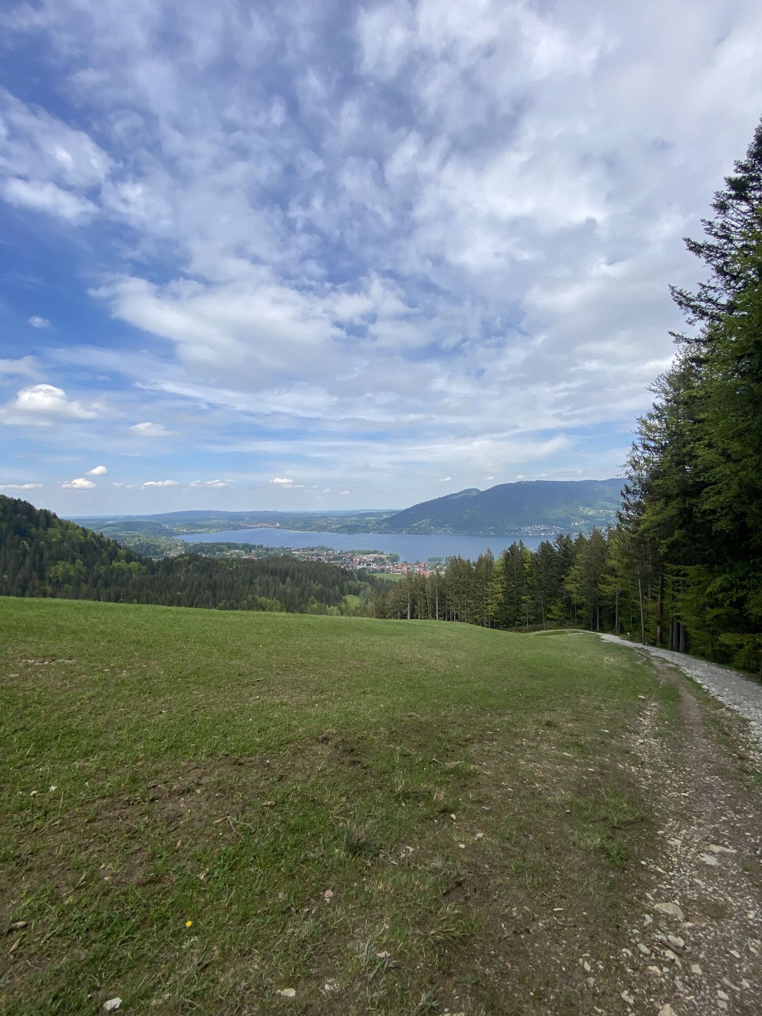
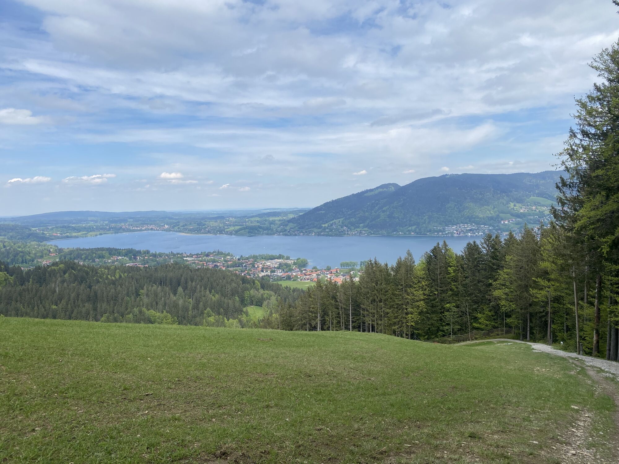
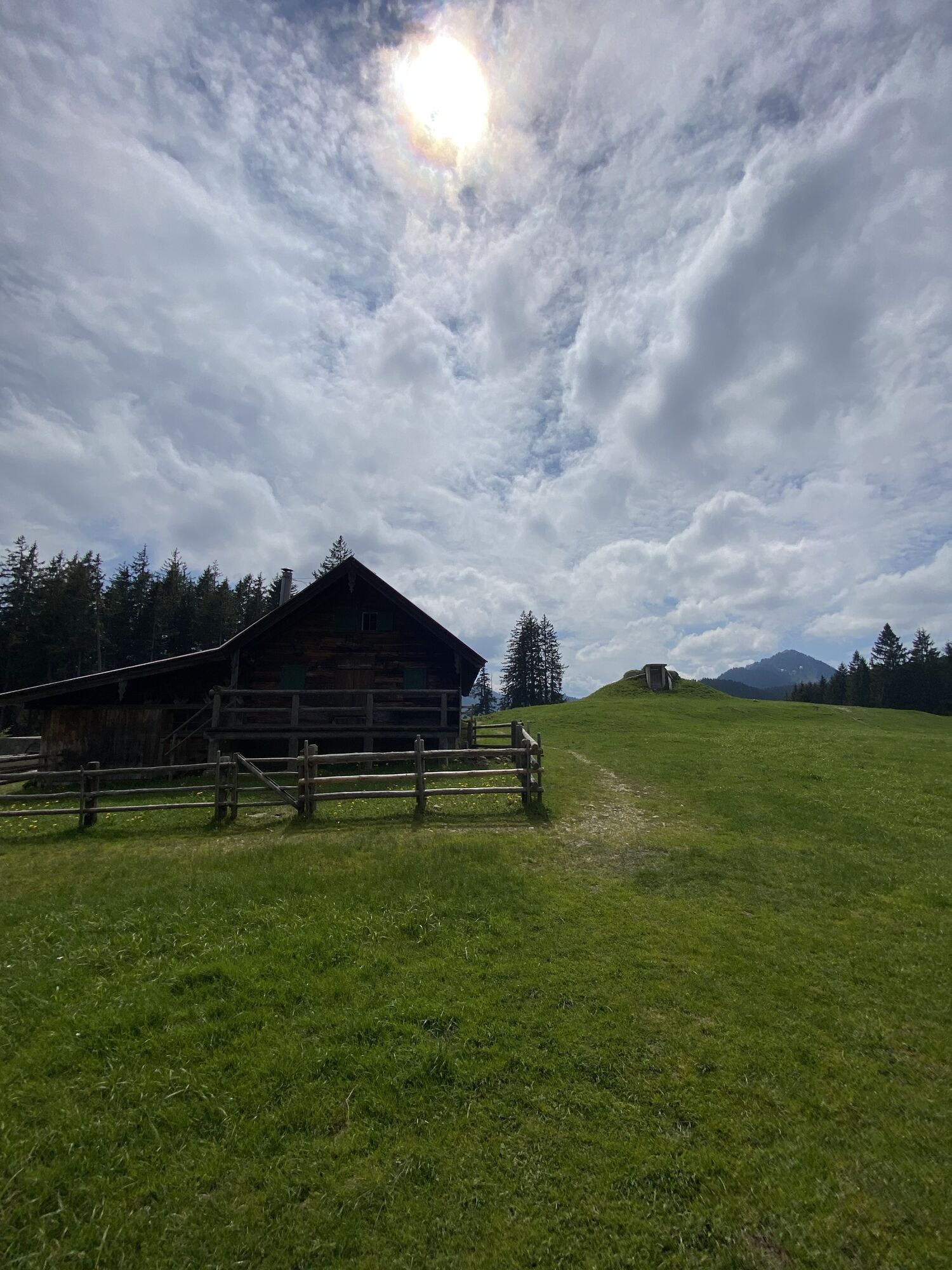
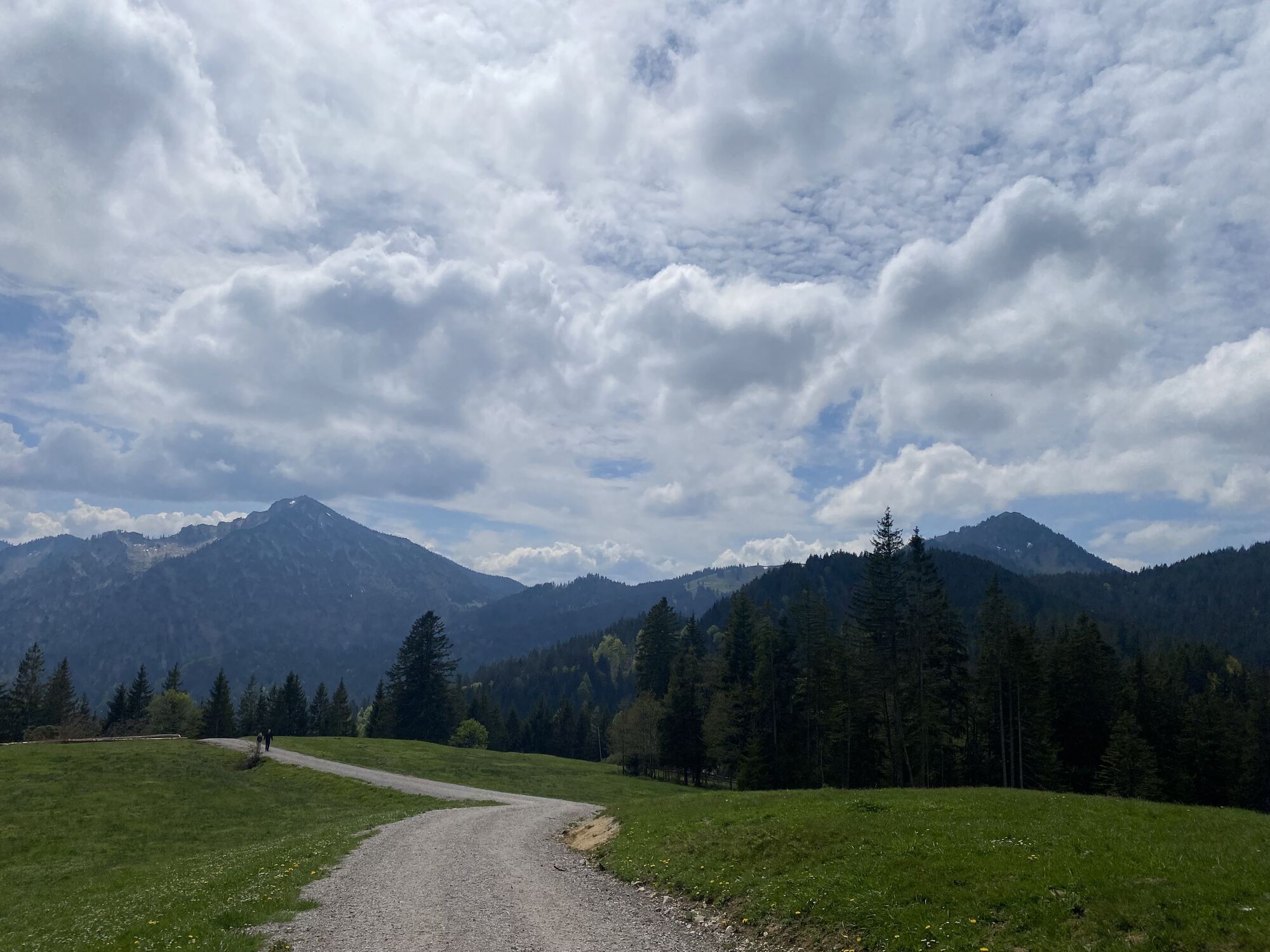
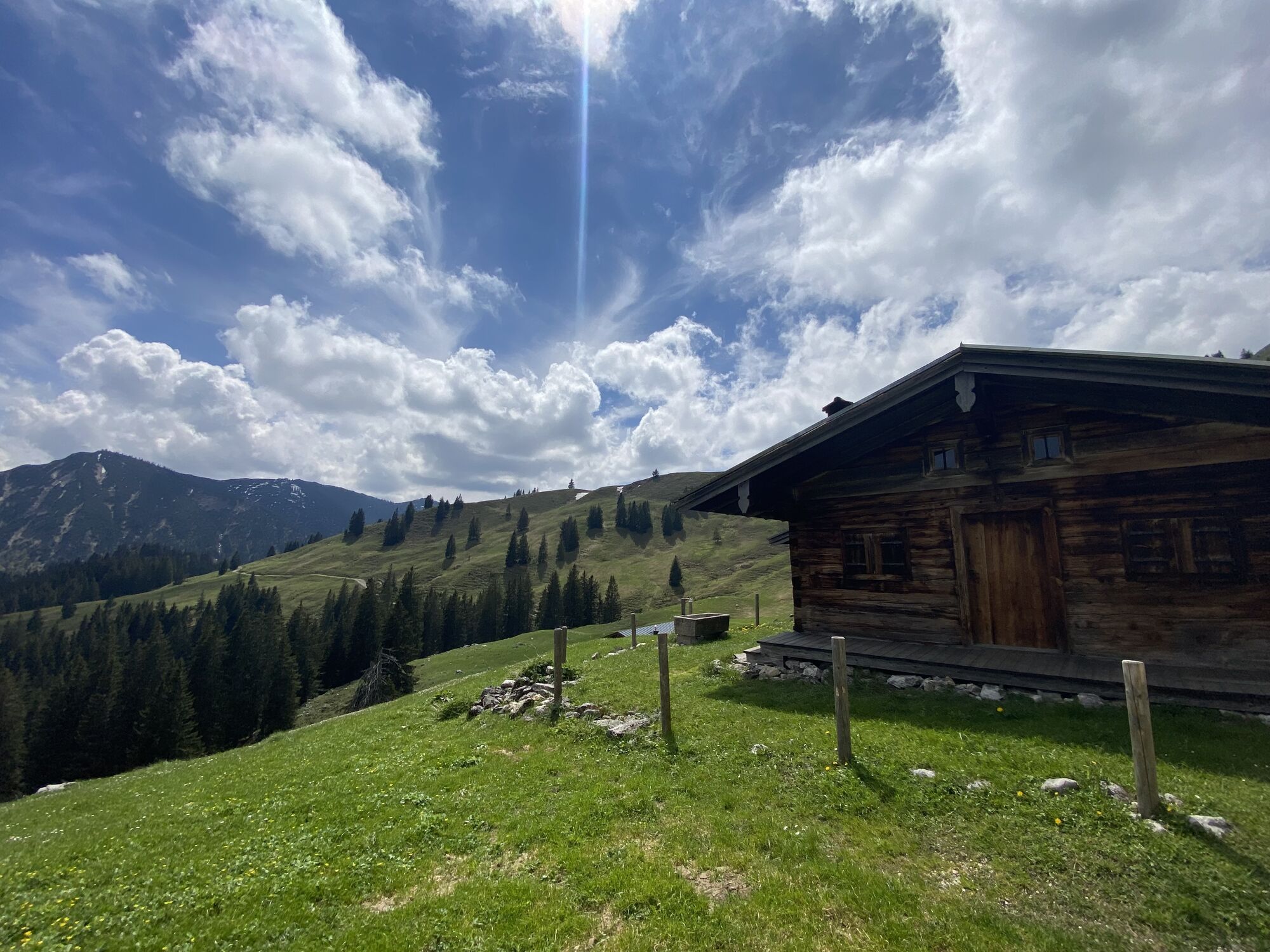

One of the best-known routes in the Tegernsee valley. First, you go up on forest roads; later the path sections increase. Refreshments possible at the Aueralm.

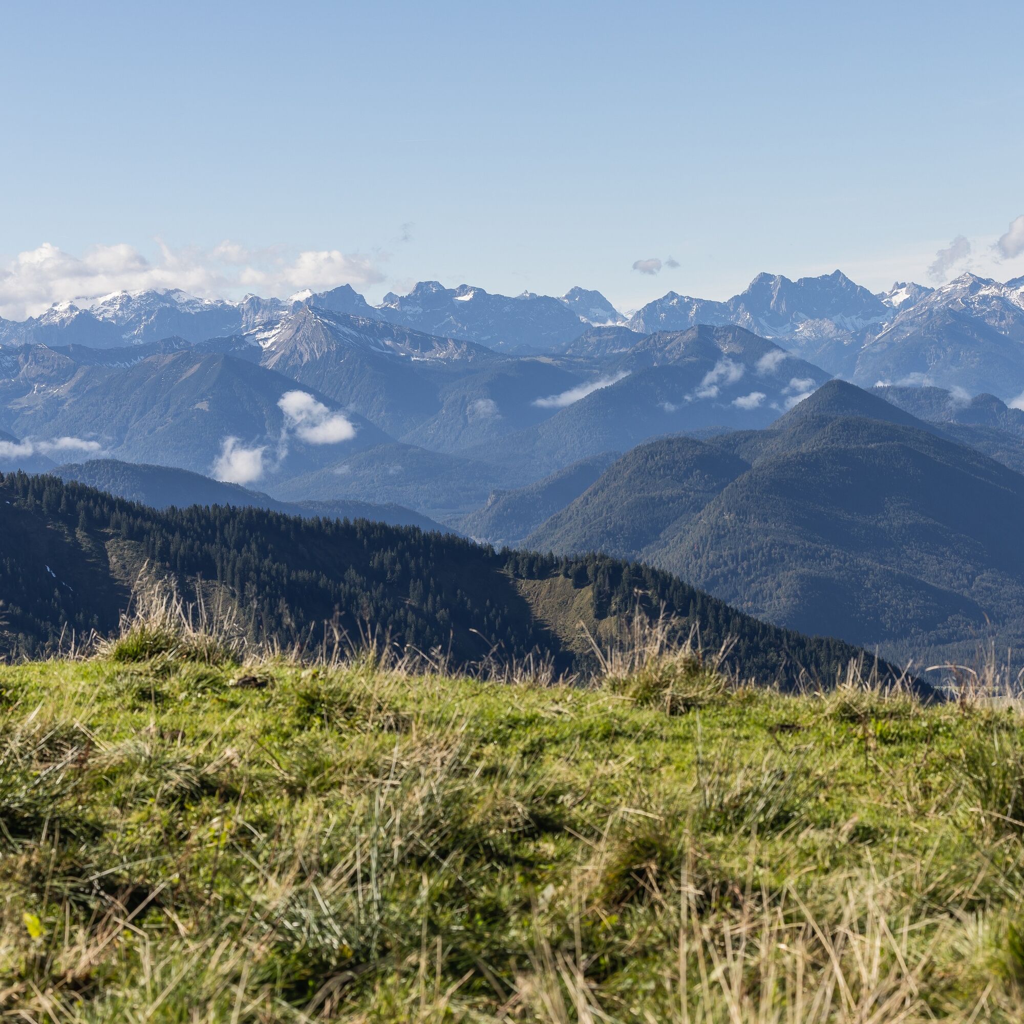
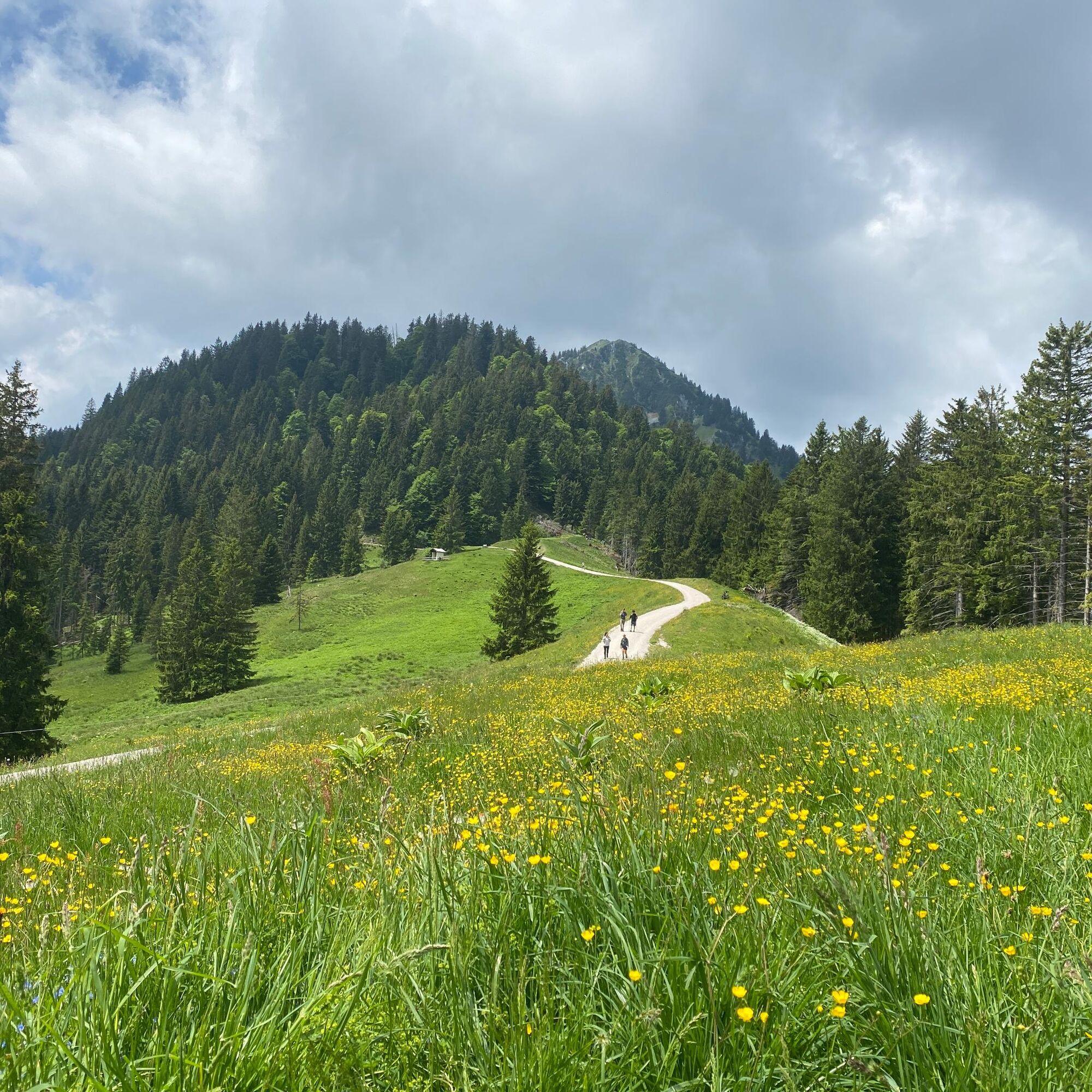
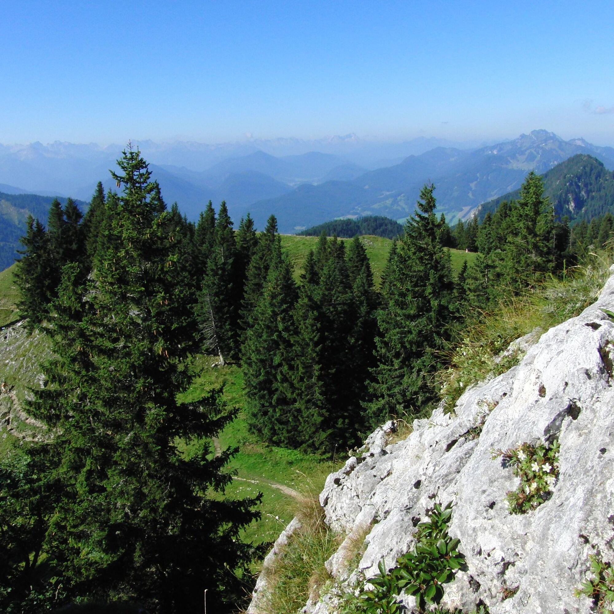
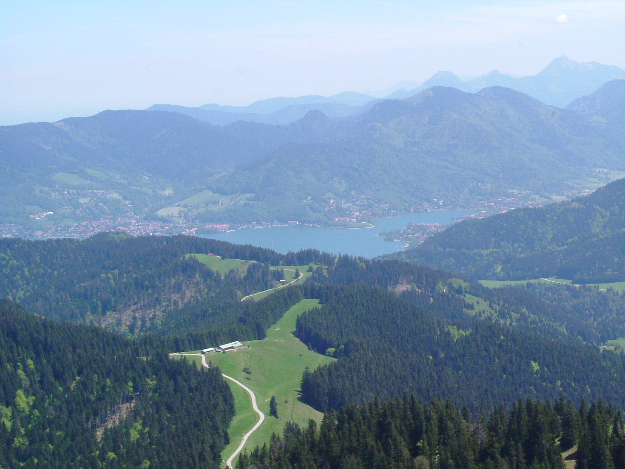
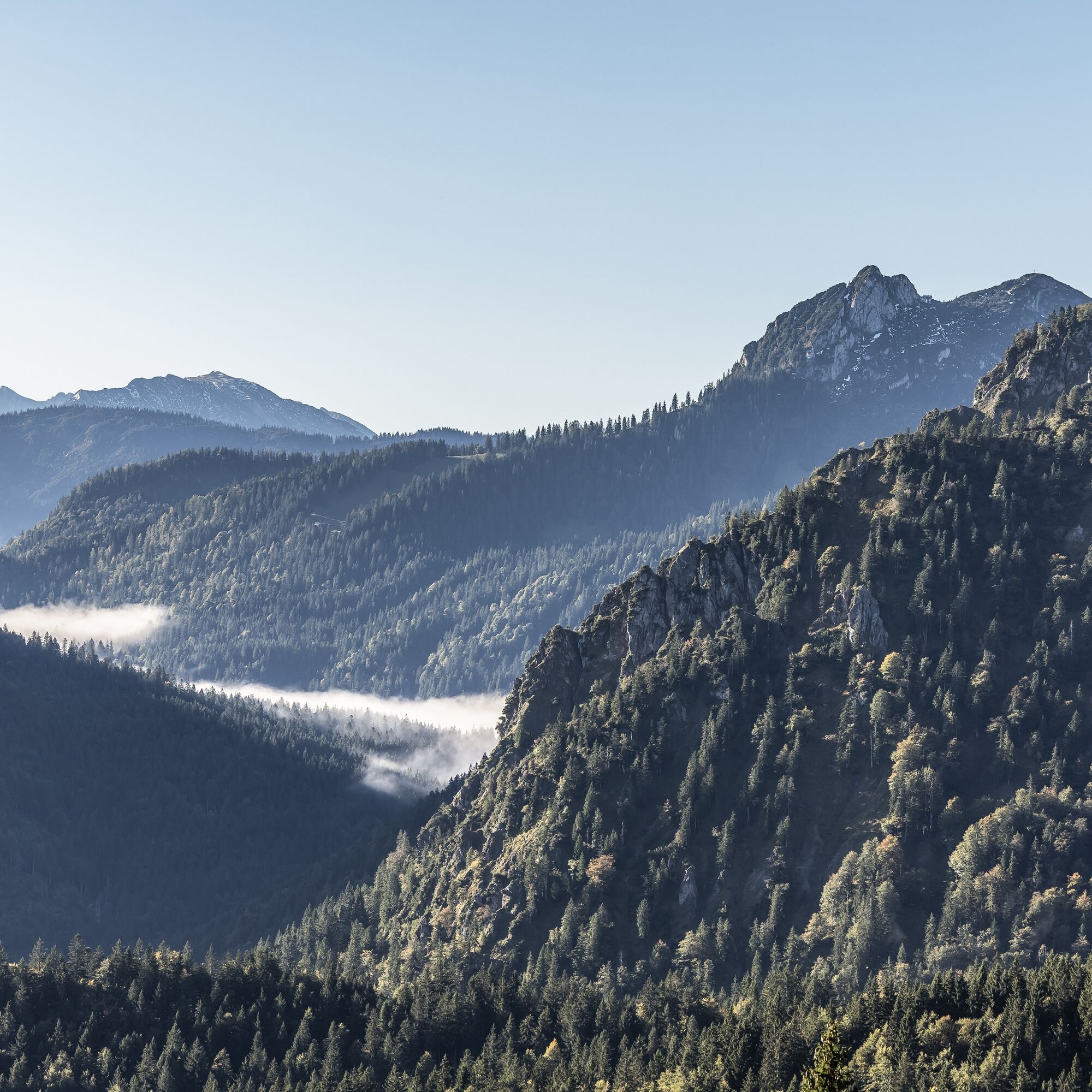
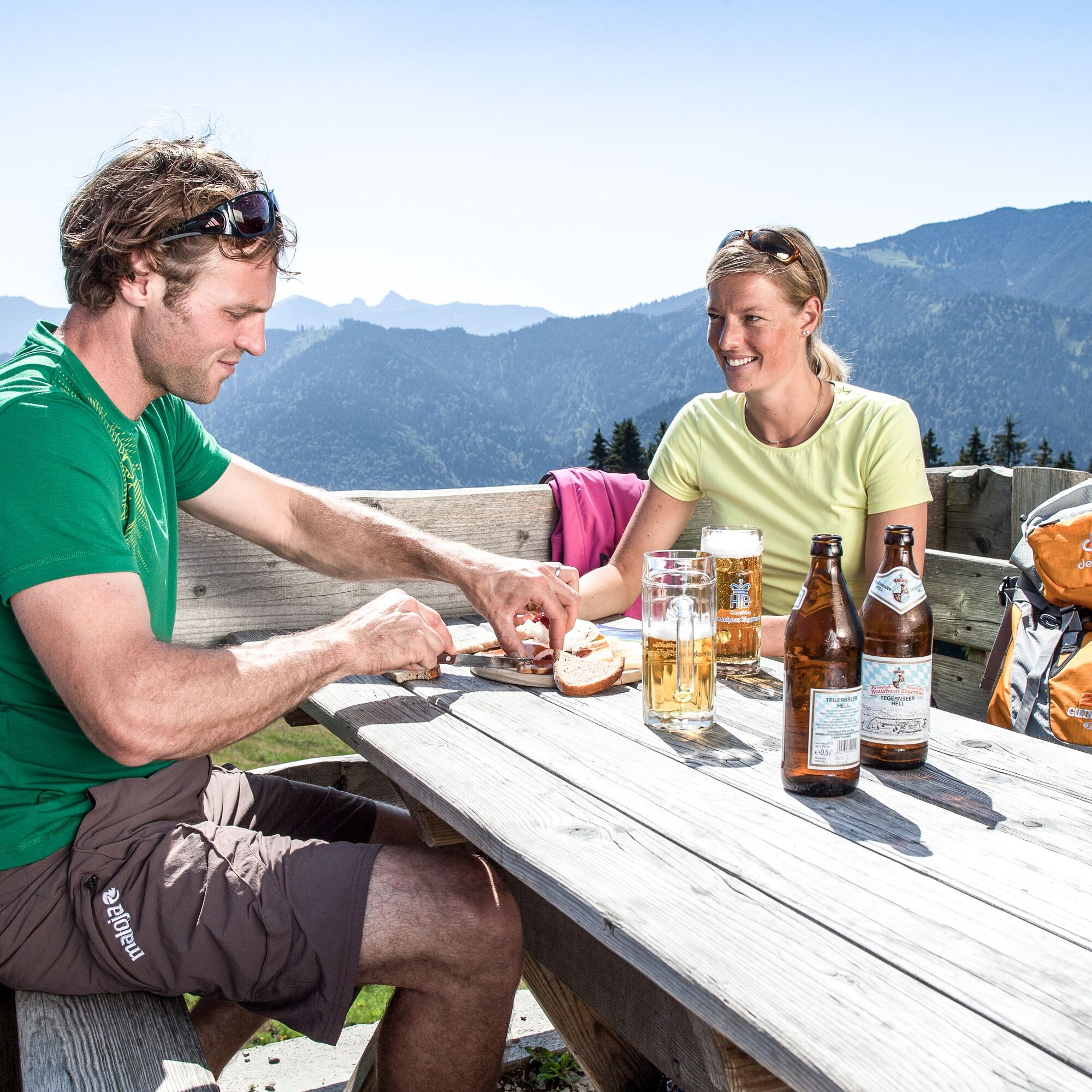

The start of the route is the Sonnenbichl car park, above Bad Wiessee. We hike upstream through the Zeiselbach valley further up on path 611a.
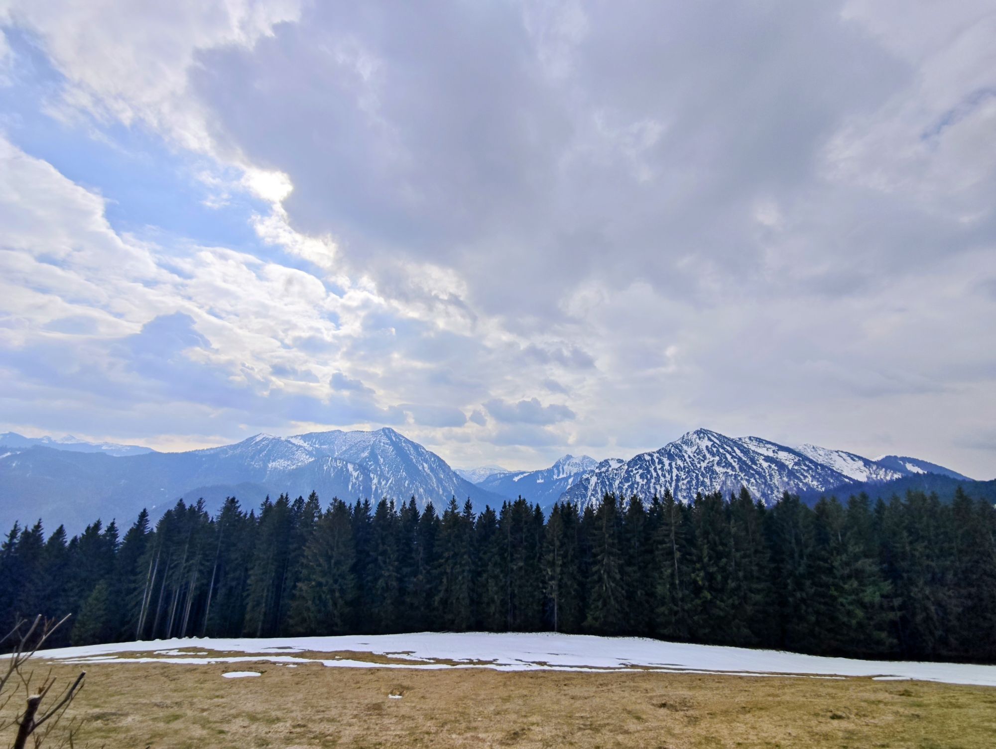
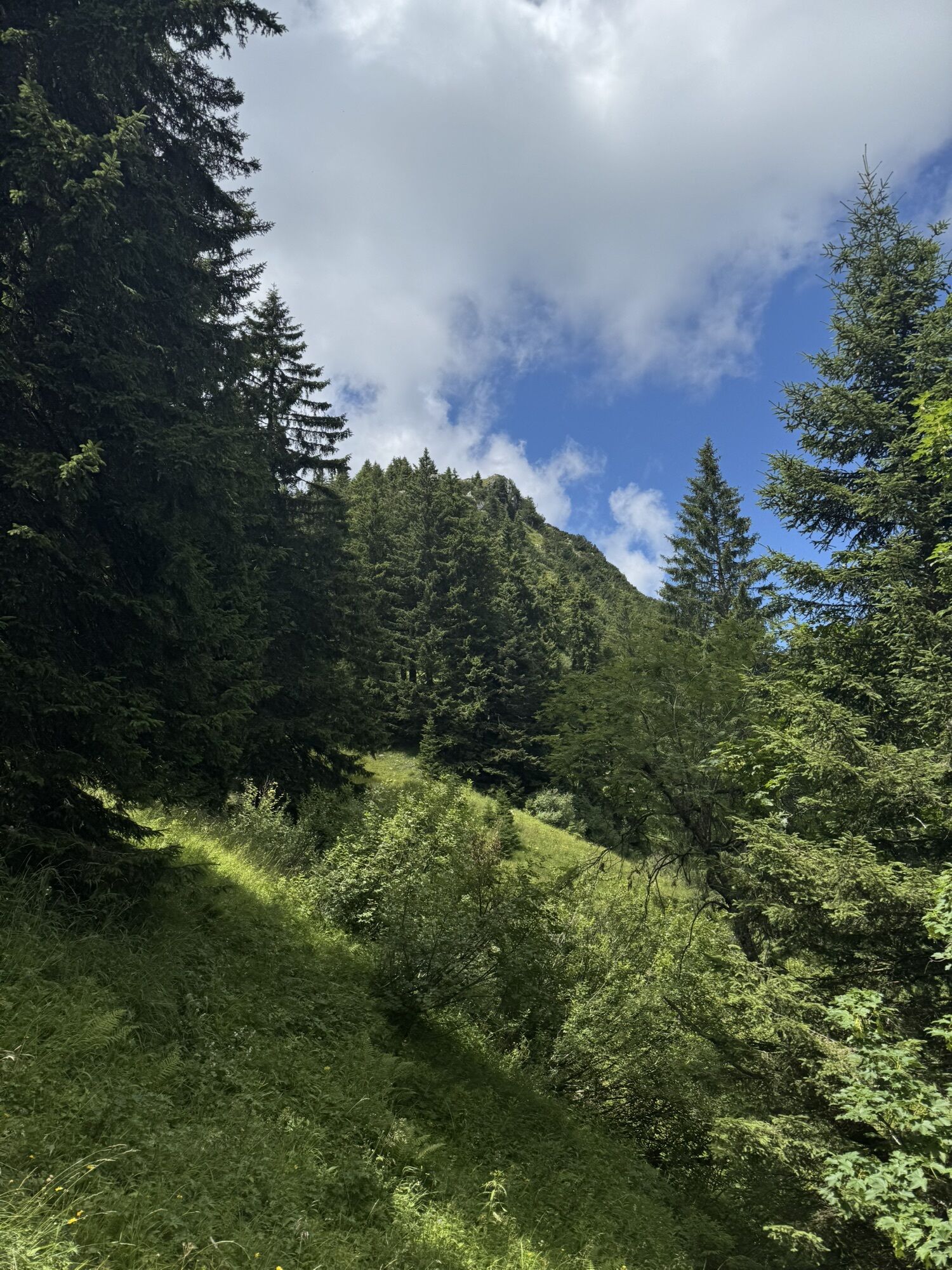
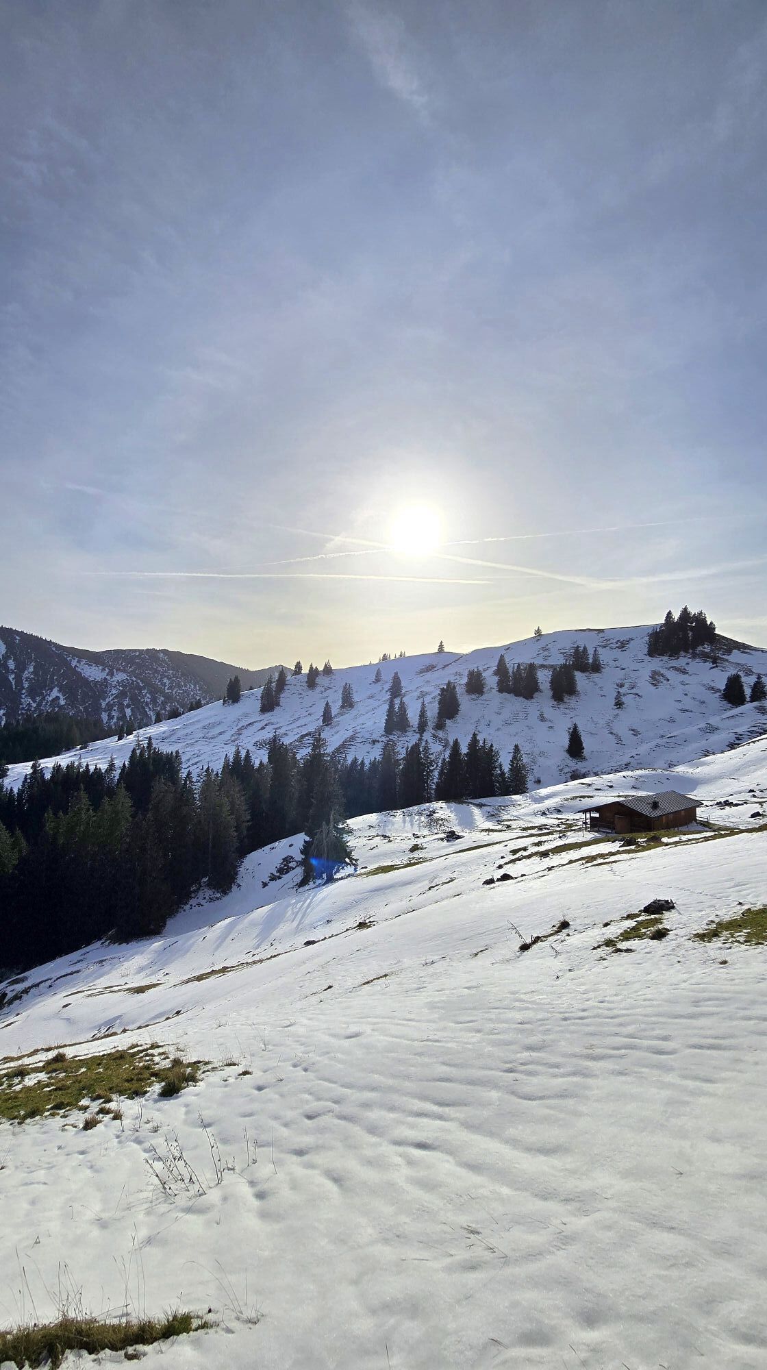
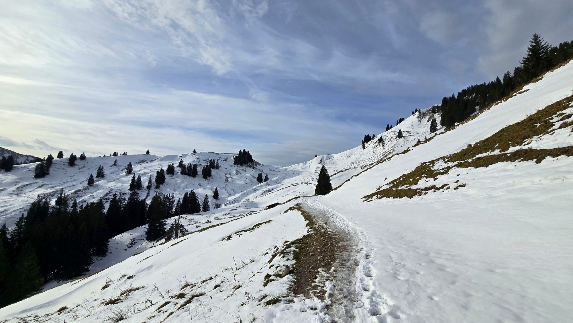
The path runs through the forest and offers pleasant shade in summer. After about 1.5 hours, we reach the Aueralm. The alpine pasture at 1,300 meters altitude is a worthwhile destination both in summer and winter for anyone who wants to enjoy peace and the magnificent view.
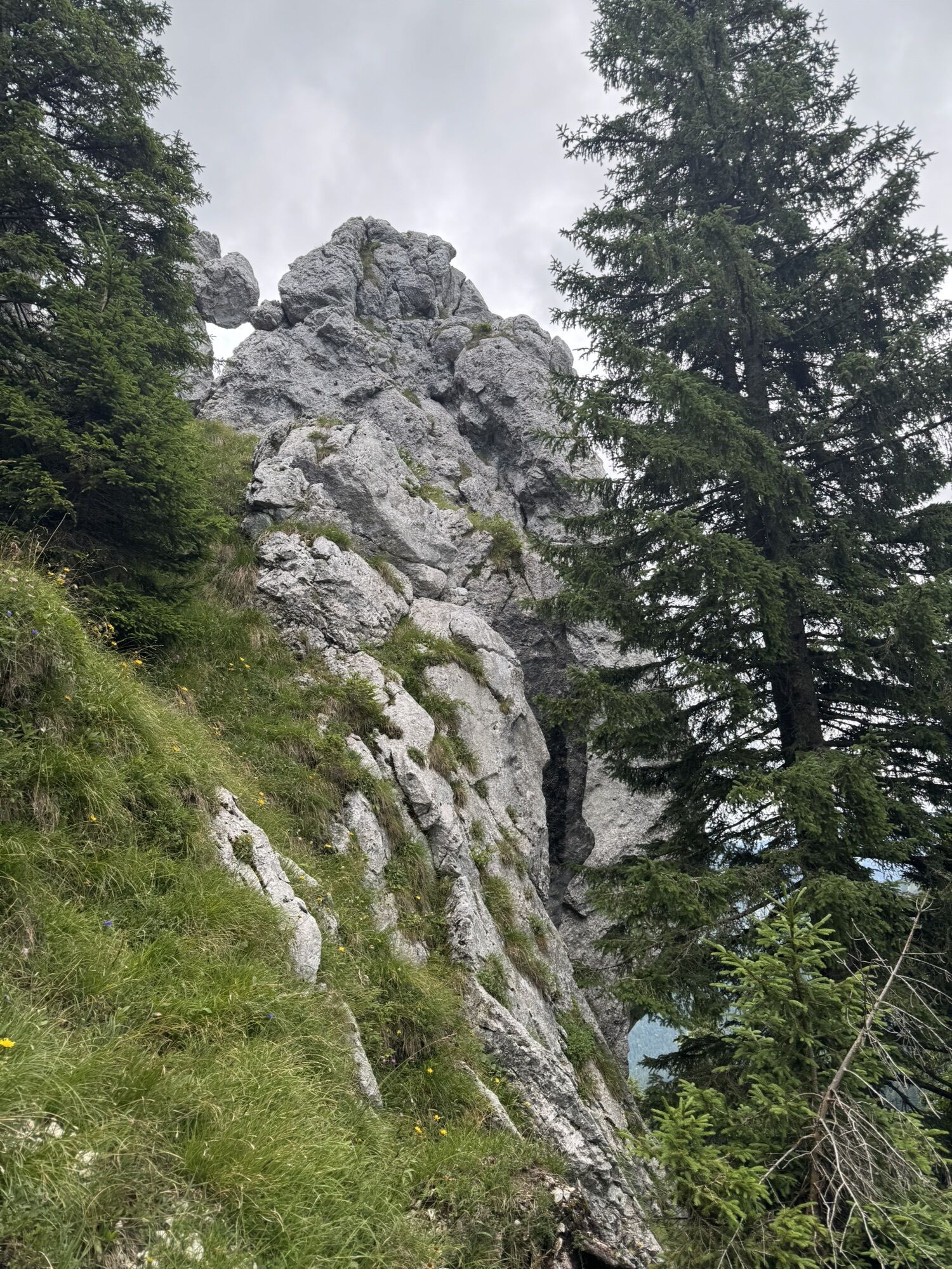
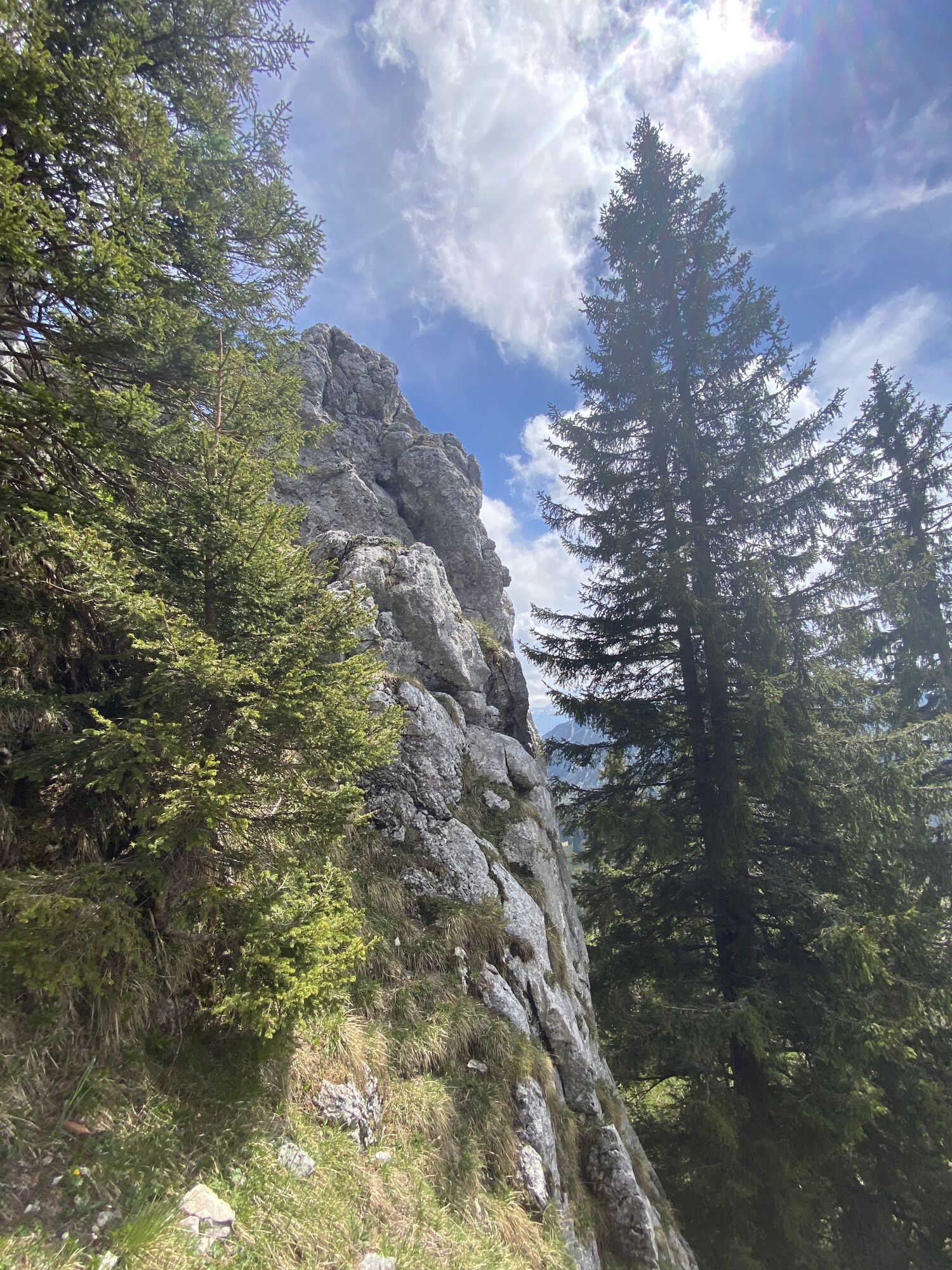
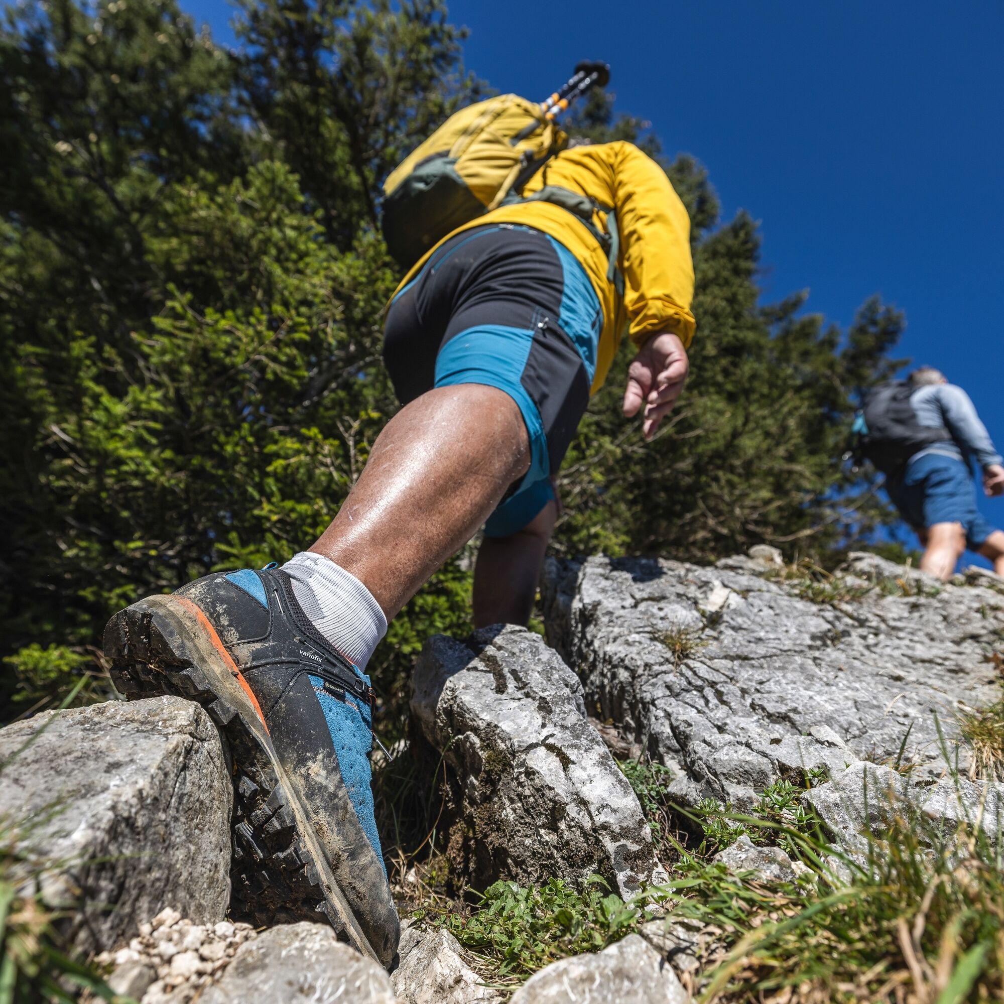
From the Aueralm, we continue to the Fockenstein. For this, we follow the forest road to the Neuhütten Alm and to the Neuhütteneck (path 614). From here, we keep right going up to the Fockenstein. The path runs in switchbacks, in some places we even use our hands for support.
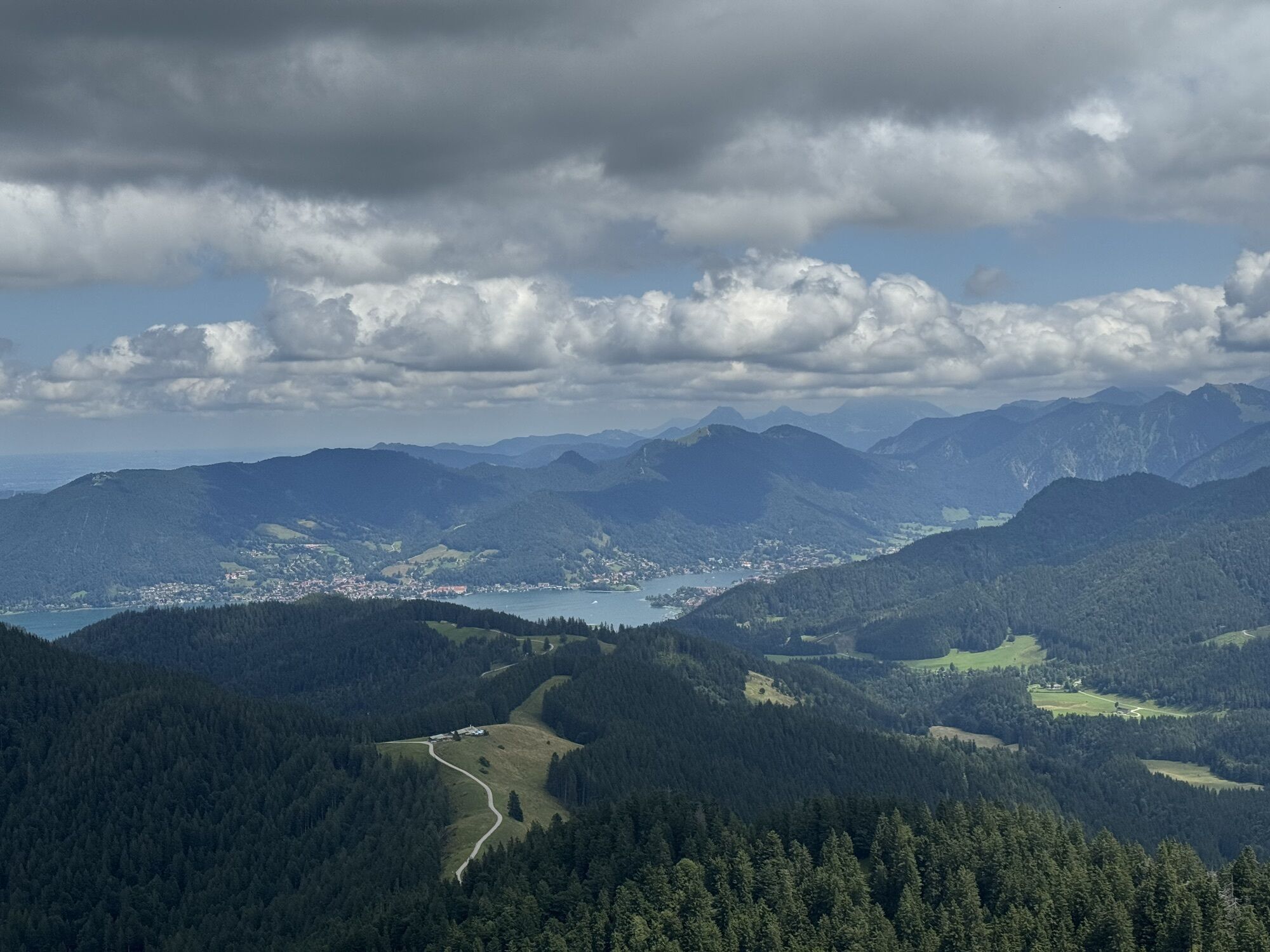
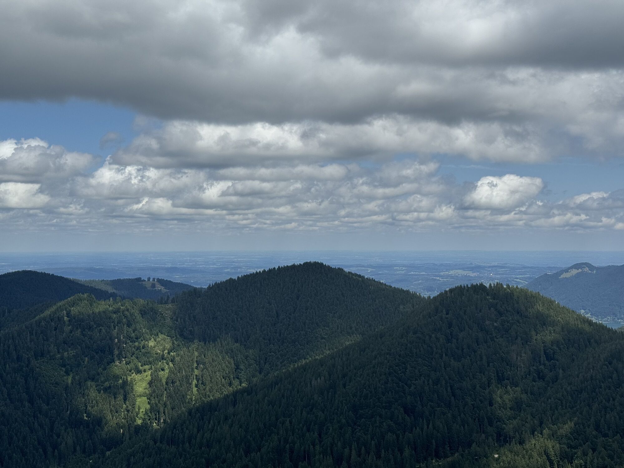
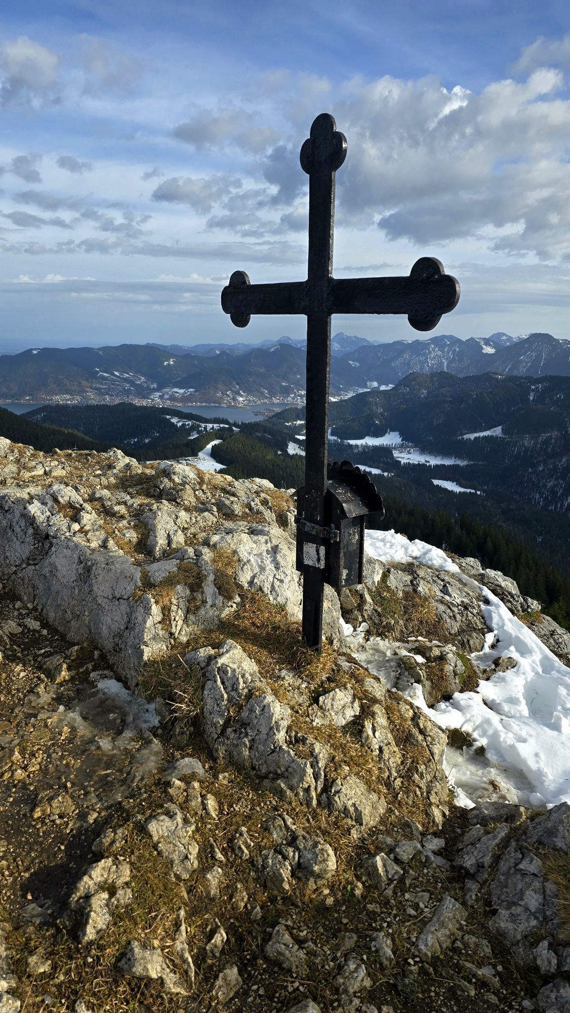
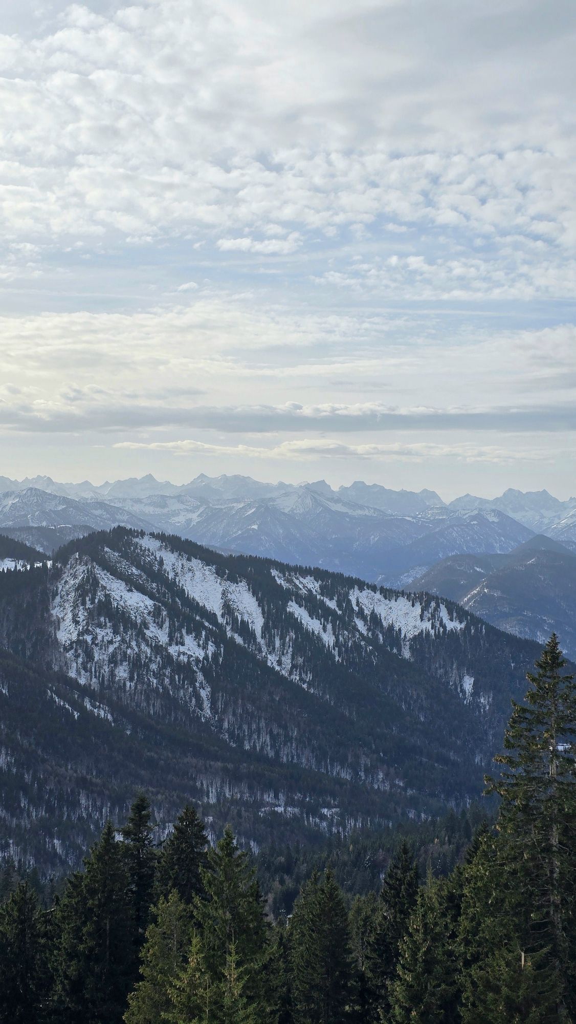
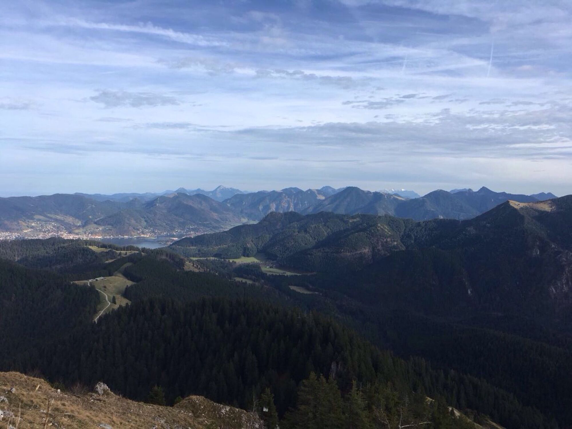
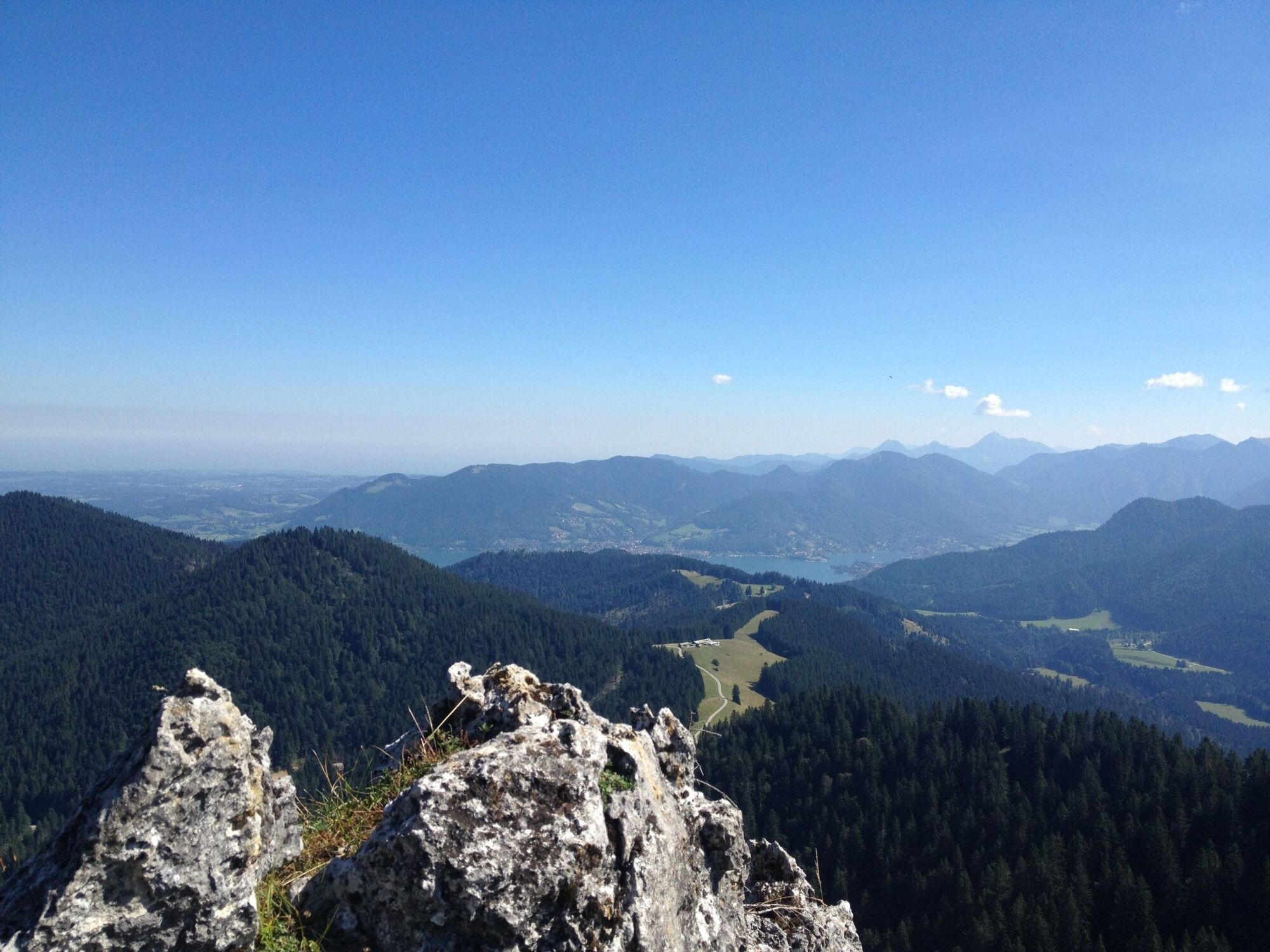
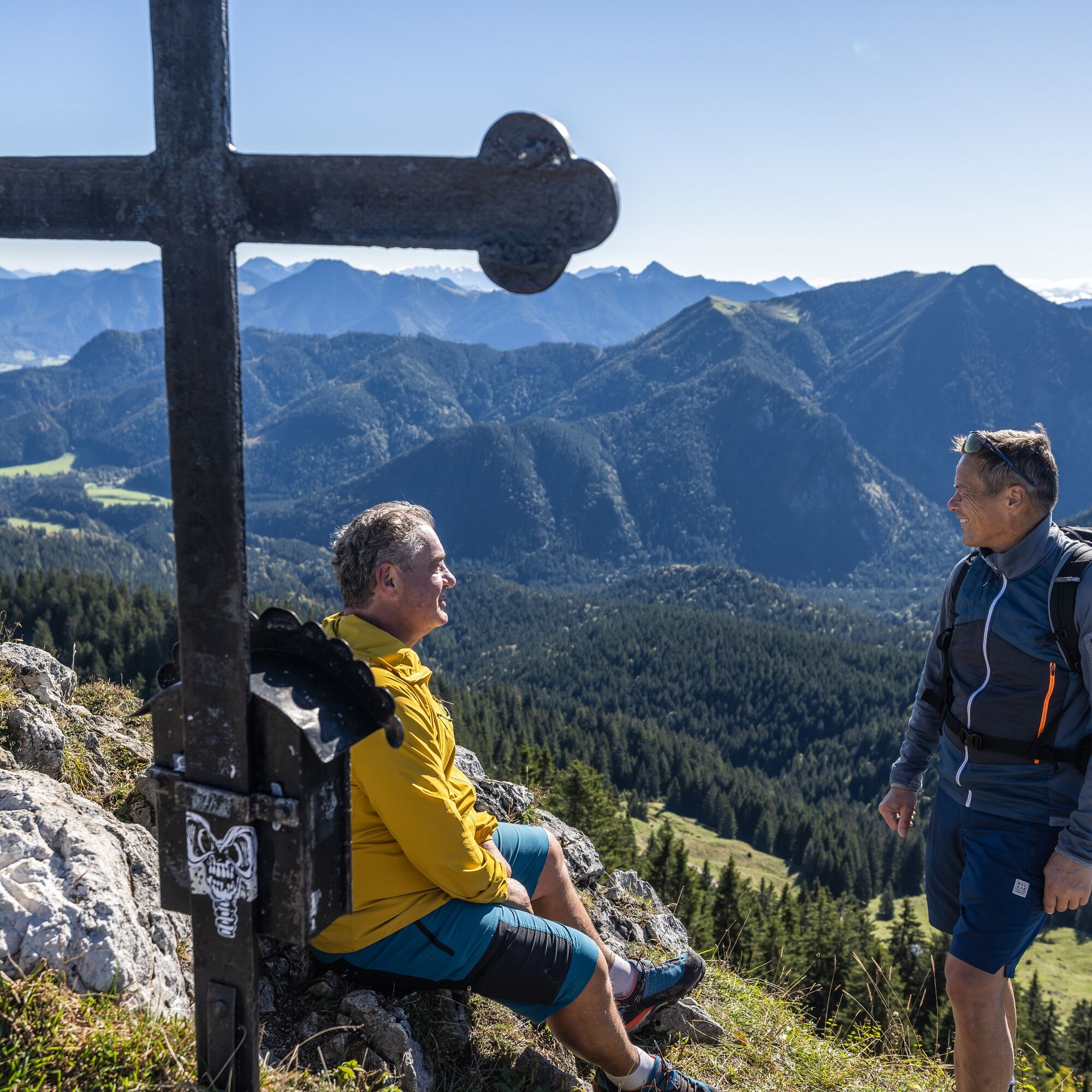
The view from the 1564m high Fockenstein summit down to Lake Tegernsee compensates for the effort of the ascent. After a rest, we take the return route in an easterly direction (path 611). This section is a forest-wildlife protected area and should not be entered during the winter months. Please help protect particularly endangered animal species and permanently preserve biodiversity in Bavarian nature. On the way back we pass the Aueralm again. From here, we follow the gravel road to a sharp right curve. Here, we keep straight ahead (further path 611) and hike across the Waxelmoos, past the Zwergelberg over the steep ski slope back to Sonnenbichl.
In winter or after prolonged rain, the return route via the sledding run (603) to the Söllbach hut is recommended, from there back to the bus stop or car park.
Da
Da
Sturdy footwear as well as weather-appropriate clothing, possibly a rain jacket, drinking bottle, first aid pack.
All information without guarantee. Walking and driving on the described routes is at your own risk.
The route is only accessible in winter up to the Aueralm, please observe the forest-wildlife protected area at the Fockenstein.
A8 to the Holzkirchen exit, via B318 and B307 to Bad Wiessee, coming from Gmund drive through almost the entire town and always follow the direction Sonnenbichl.
By MVV to Bad Wiessee (Söllbach bus stop). Get off there and walk a short way towards the church. At the Sonnenbichl junction, turn left and walk to the Sonnenbichl car park (about 20 minutes from the Söllbach bus stop).
Bad Wiessee, at Sonnenbichl (paid)
T1
 Pridobite vpogled
Vedno v živo na mestu z več kot 9.500 spletnimi kamerami. bergfex Kot uporabnik Pro si lahko zdaj ogledate ustrezne spletne kamere za številne izlete v aplikaciji izleti iz. Tako si lahko neposredno ogledate trenutne razmere.
Pridobite vpogled
Vedno v živo na mestu z več kot 9.500 spletnimi kamerami. bergfex Kot uporabnik Pro si lahko zdaj ogledate ustrezne spletne kamere za številne izlete v aplikaciji izleti iz. Tako si lahko neposredno ogledate trenutne razmere.


Priljubljeni izleti v okolici
-
4.7
Alpbach valley and Neureuth
srednjaPohodništvo 12.9 km -
4.6
Summit route to the Wallberg
srednjaPohodništvo 12.2 km -
3.8
Benediktenwand (1801 m)
Pohodništvo 23.0 km -
4.7
Königsalm
srednjaPohodništvo 10.0 km -
4.8
Lengrieser Hütte
srednjaPohodništvo 10.6 km -
4.2
Tegernsee Höhenweg - North
svetlobaPohodništvo 12.3 km -
4.6
Roß- and Buchstein, Tegernsee Hut
težkoPohodništvo 14.4 km -
4.7
Brauneck zum Latschenkopf Rundweg
srednjaPohodništvo 6.30 km -
4.8
Leonhardstein
srednjaPohodništvo 8.17 km -
4.5
Aueralm/Zwerglberg
srednjaPohodništvo 11.9 km

Pohodništvo in sledenje


Ne zamudite ponudb in navdiha za naslednje počitnice
Vaš e-poštni naslov je bil dodan na poštni seznam.





