


Alpseeblick ridge hike
Stopnja težavnosti: T1
Fotografije naših uporabnikov
-
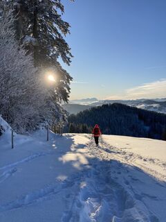
 © Thomas KleinUstvarjeno na 18.04.2026
 -
 © Thomas KleinUstvarjeno na 18.04.2026
 -
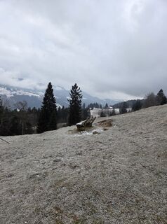
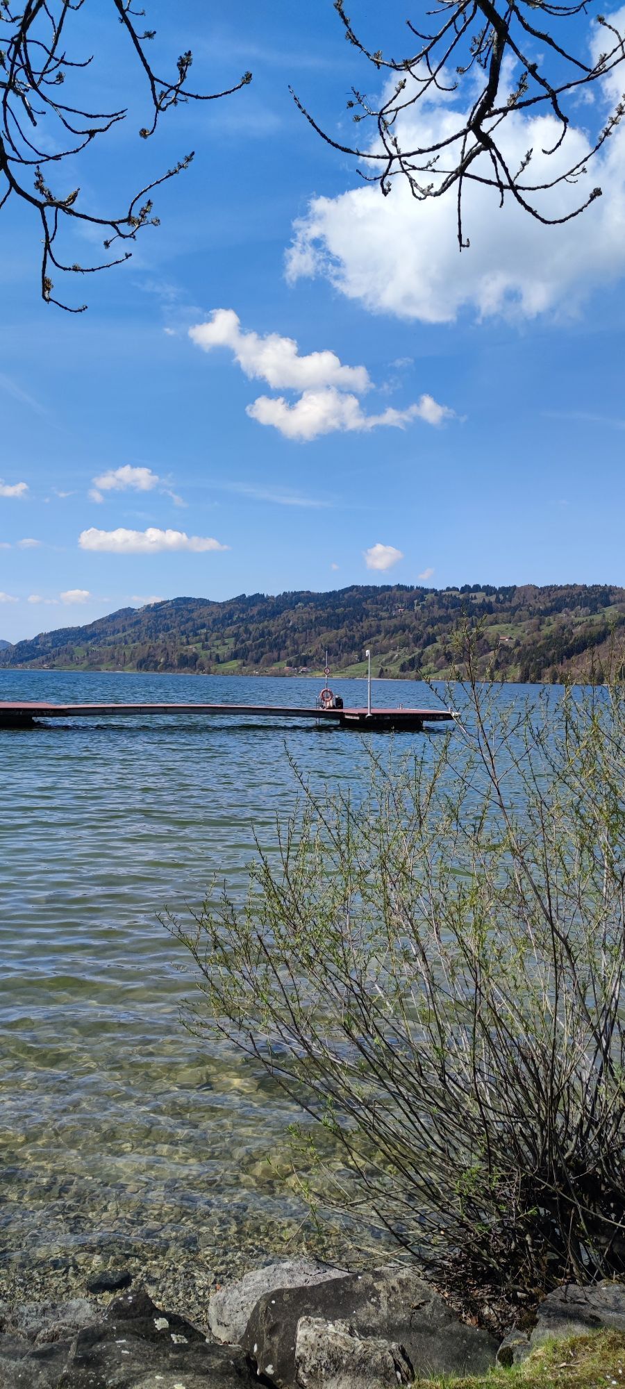
 © Silke S.Ustvarjeno na 01.01.2026
 -
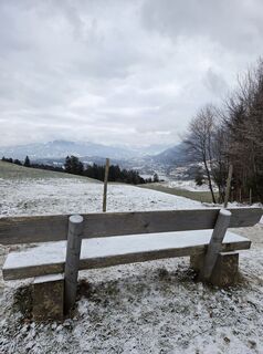
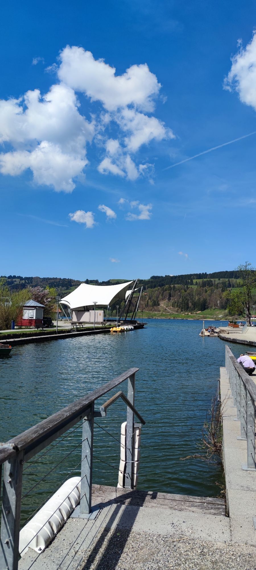
 © Silke S.Ustvarjeno na 01.01.2026
 -
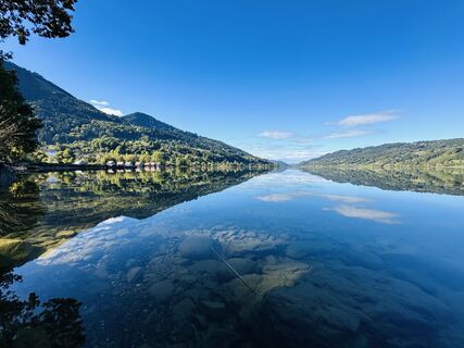
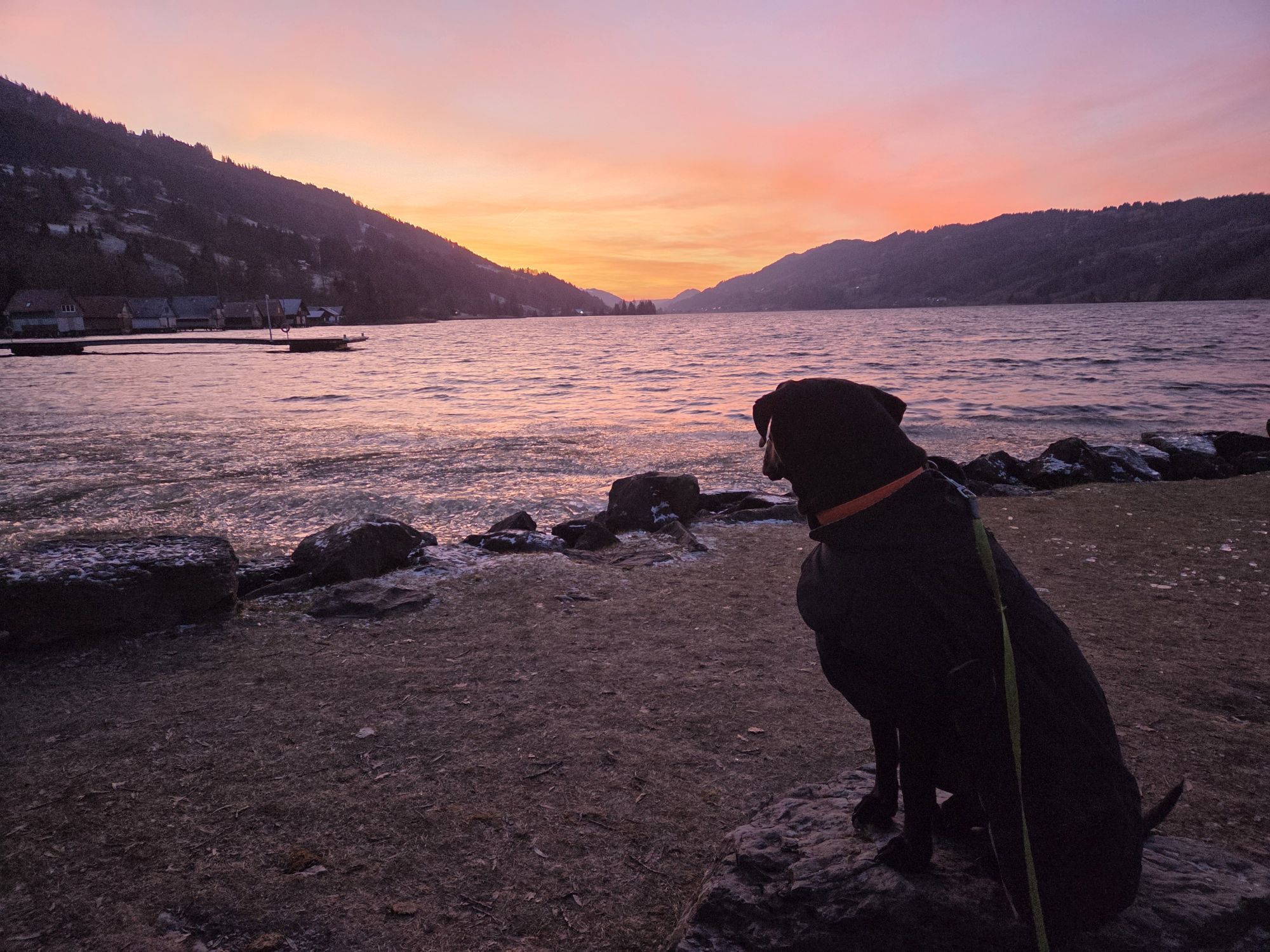
 © Silke S.Ustvarjeno na 01.01.2026
 -
 © Silke S.Ustvarjeno na 01.01.2026
 -
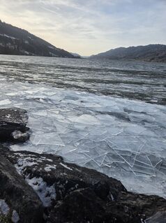
 © Silke S.Ustvarjeno na 30.12.2025
 -
 © Silke S.Ustvarjeno na 30.12.2025
 -
 © Silke S.Ustvarjeno na 30.12.2025
 -
 © MapathocaUstvarjeno na 11.11.2025
 -
 © MapathocaUstvarjeno na 11.11.2025
 -
 © W.M.Ustvarjeno na 04.10.2025
 -
 © Bettina Miller 1Ustvarjeno na 28.09.2025
 -
 © Bettina Miller 1Ustvarjeno na 28.09.2025
 -
 © Jürgen Ritter 1Ustvarjeno na 06.09.2025
 -
 © Jürgen Ritter 1Ustvarjeno na 06.09.2025
 -

 © Tobi DUstvarjeno na 01.09.2025
 -
 © Terence RoseUstvarjeno na 31.05.2025
 -
 © Terence RoseUstvarjeno na 31.05.2025
 -
 © Terence RoseUstvarjeno na 31.05.2025
 -
 © Terence RoseUstvarjeno na 31.05.2025
 -
 © Terence RoseUstvarjeno na 31.05.2025
 -
 © Terence RoseUstvarjeno na 31.05.2025
 -
 © SigiUstvarjeno na 15.11.2025
 -

 © KlausMUstvarjeno na 25.10.2025
 -
 © Jochen.GreimUstvarjeno na 25.12.2024


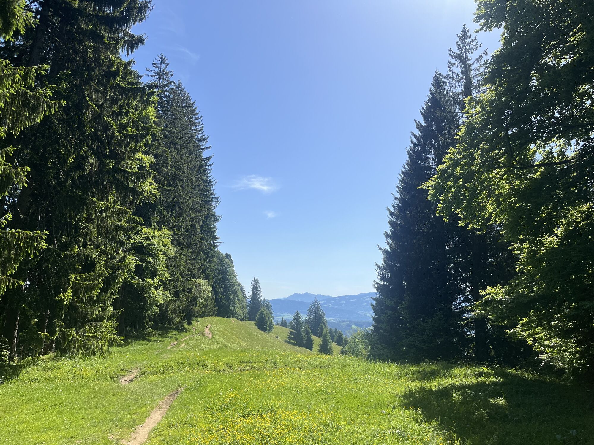


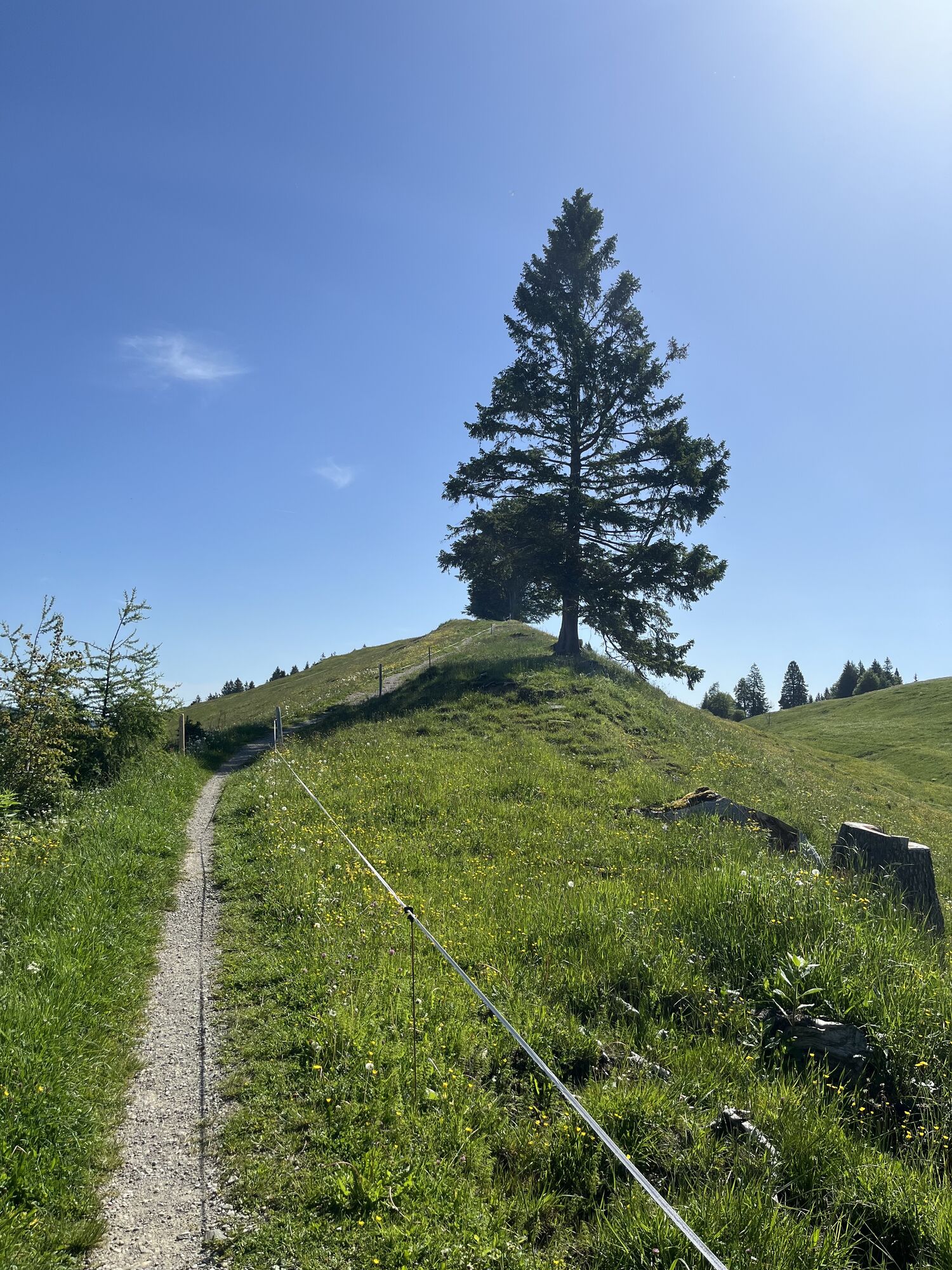

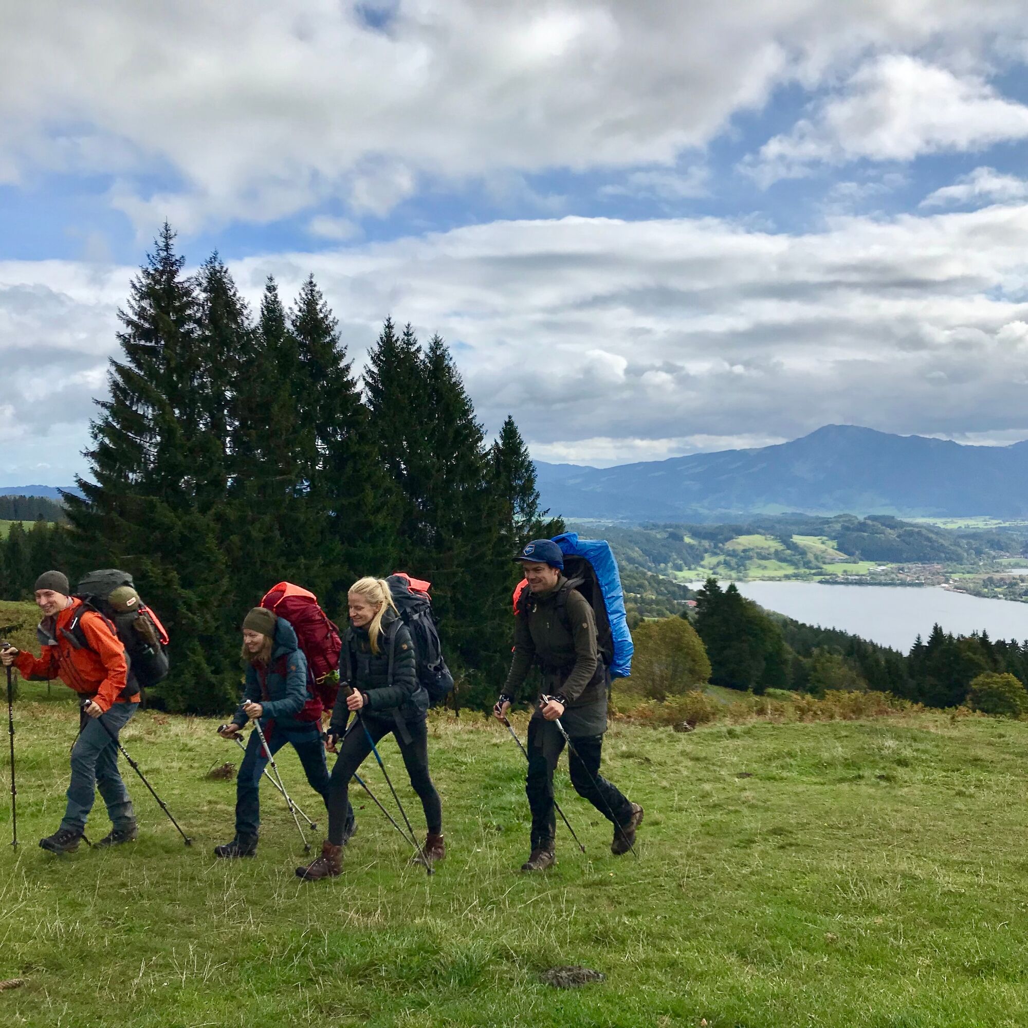
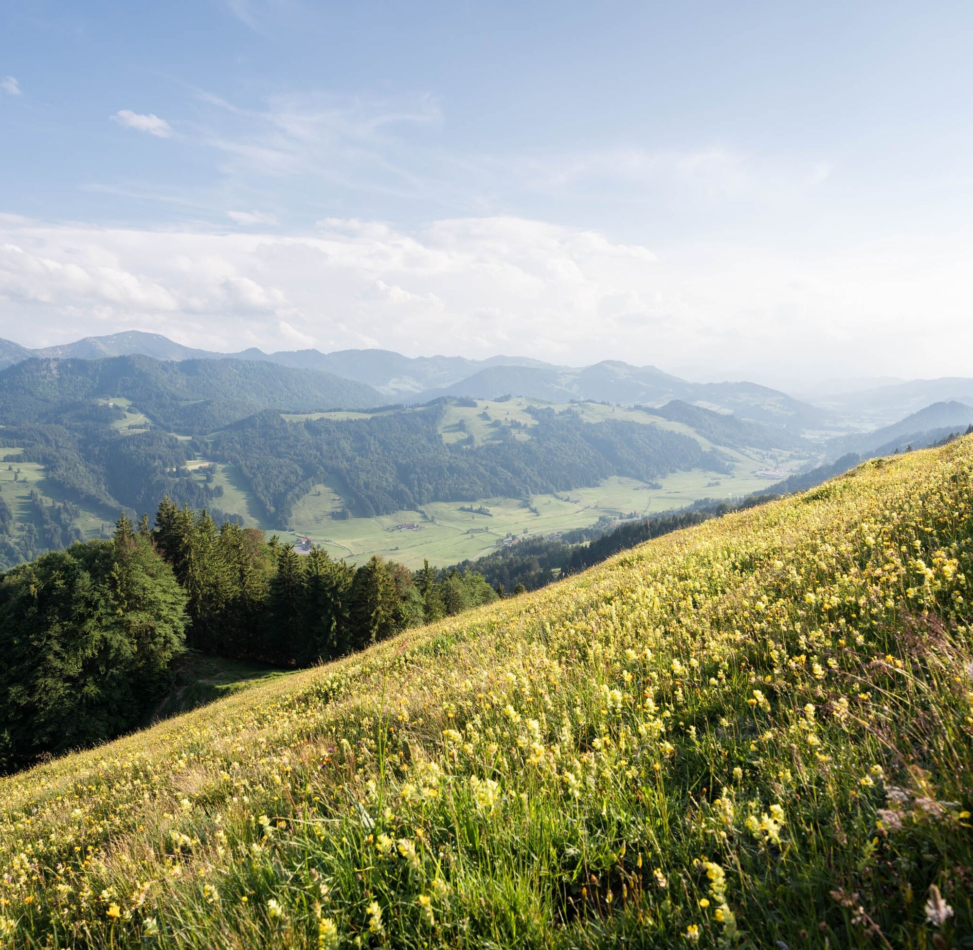
From the station, head to Kalzhofen and follow the signs for the Allgäu hiking trilogy. Ascend along the golf greens to the Upper Gsangs Alpe. In dry conditions, we recommend taking the meadow path uphill...
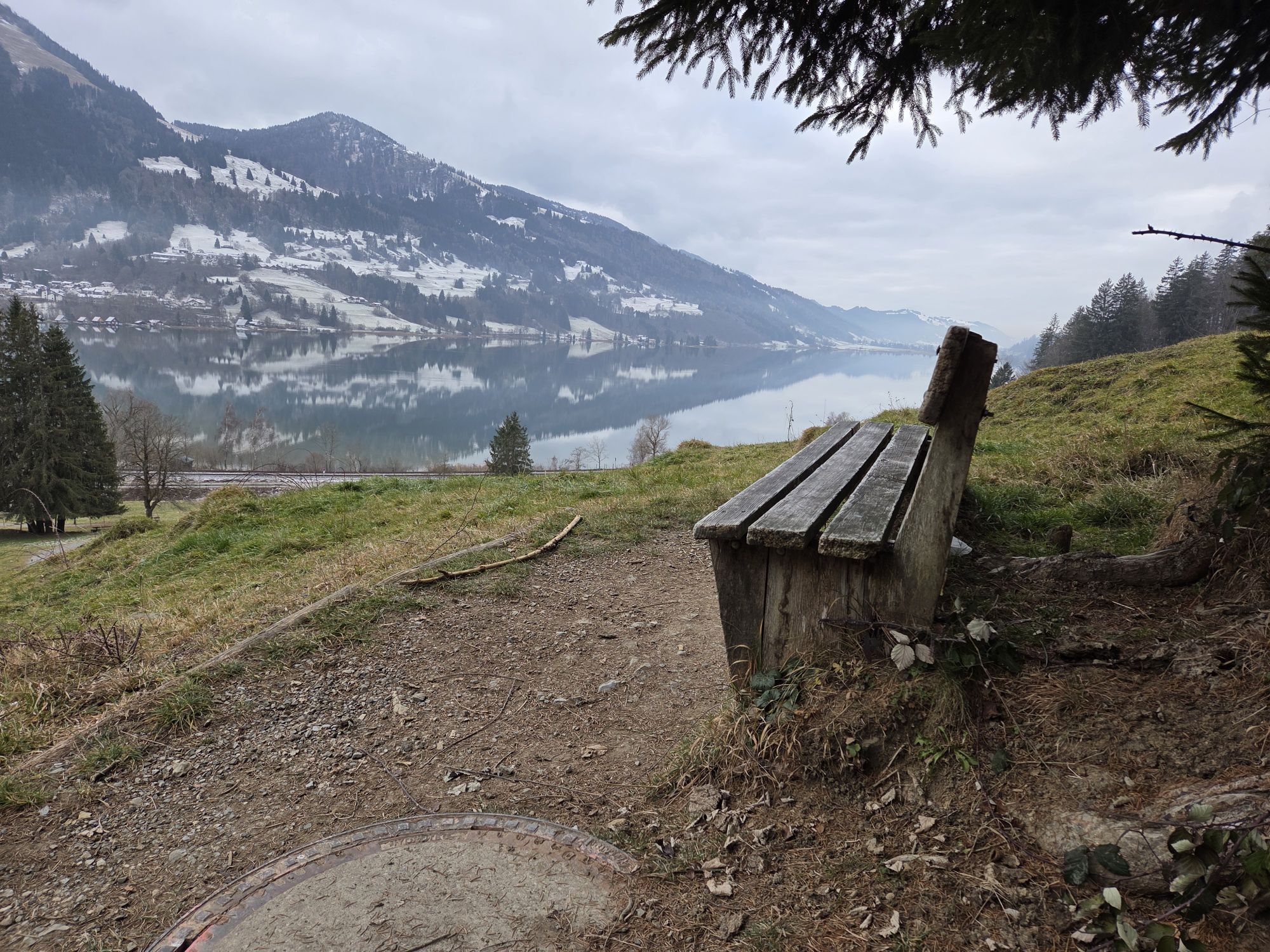
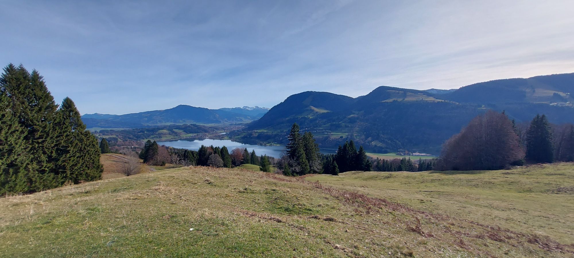
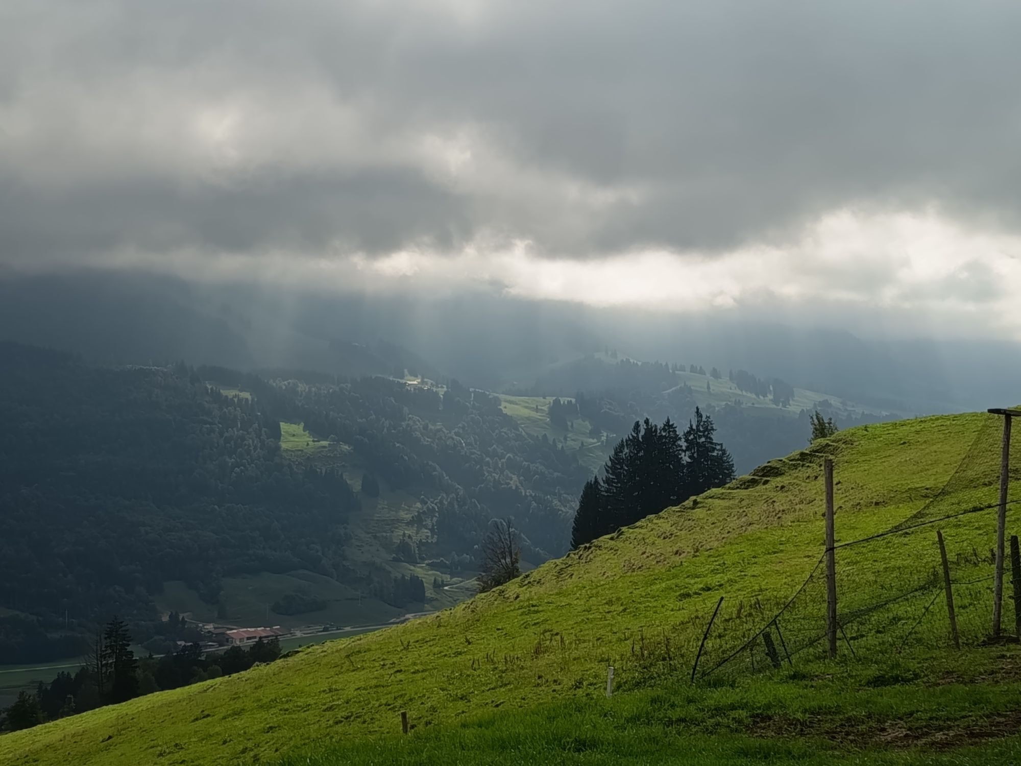
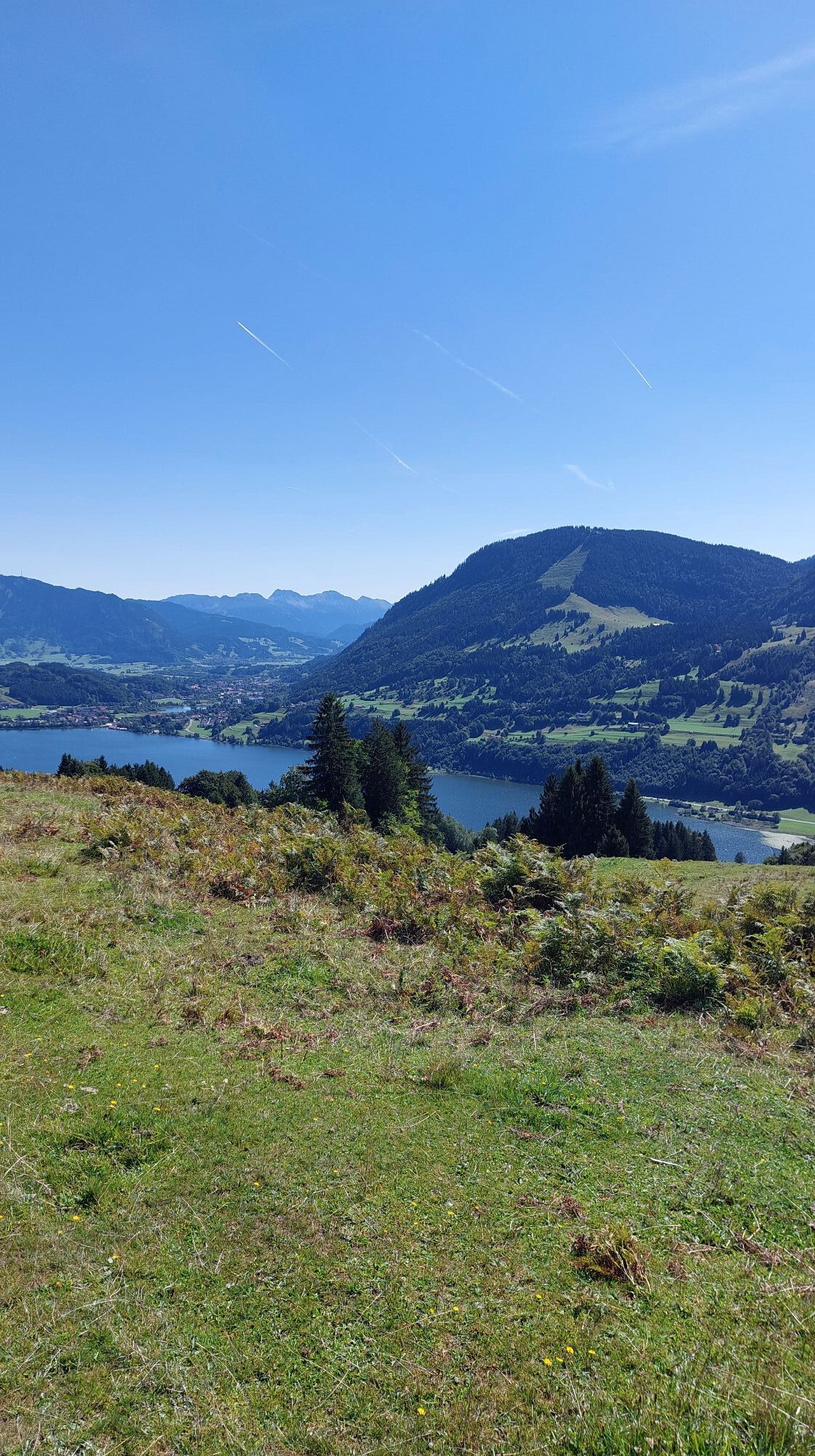
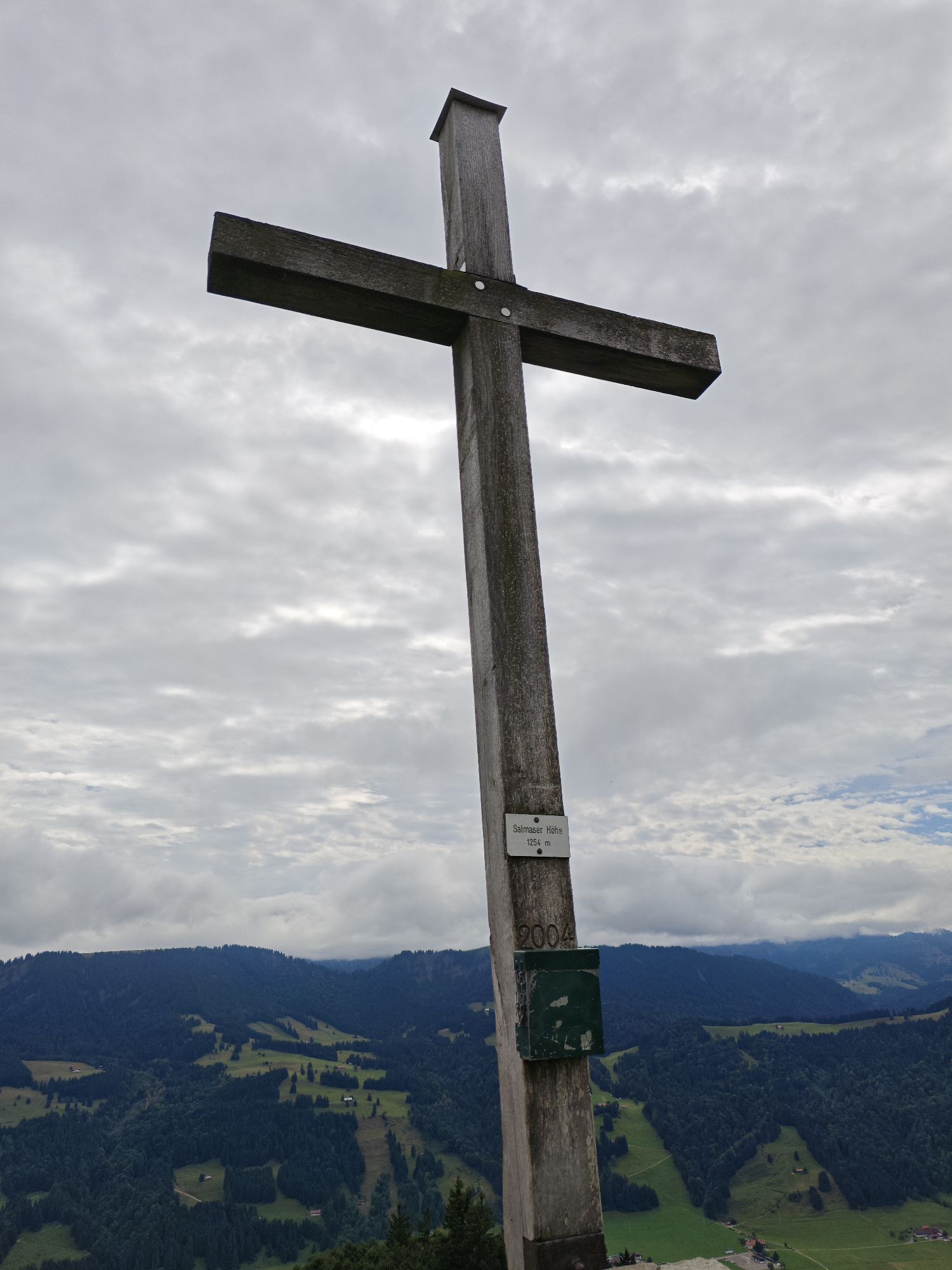
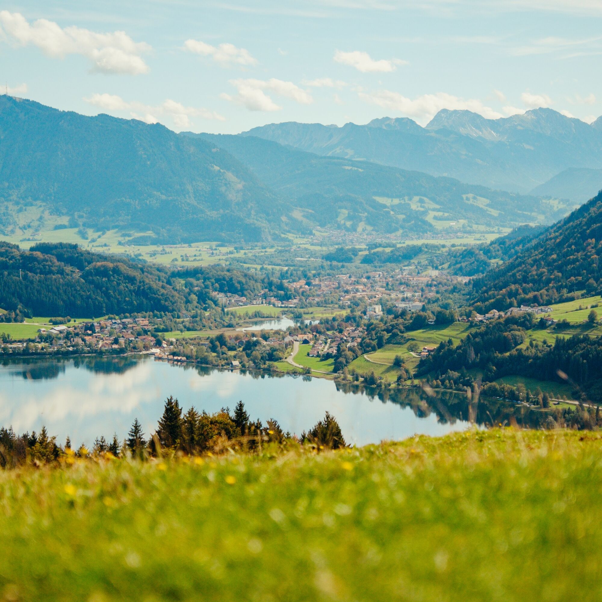
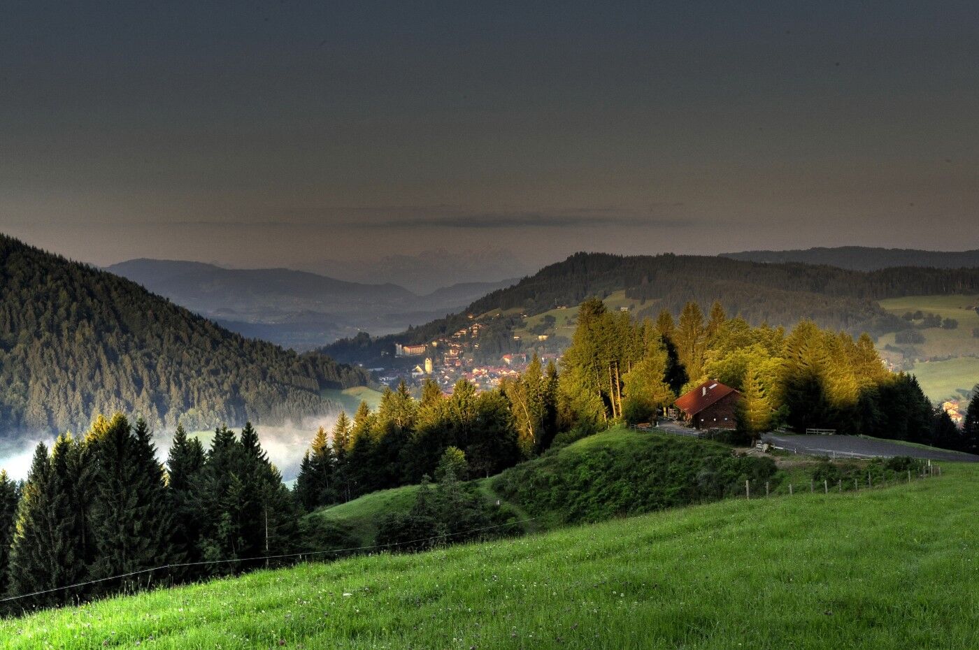
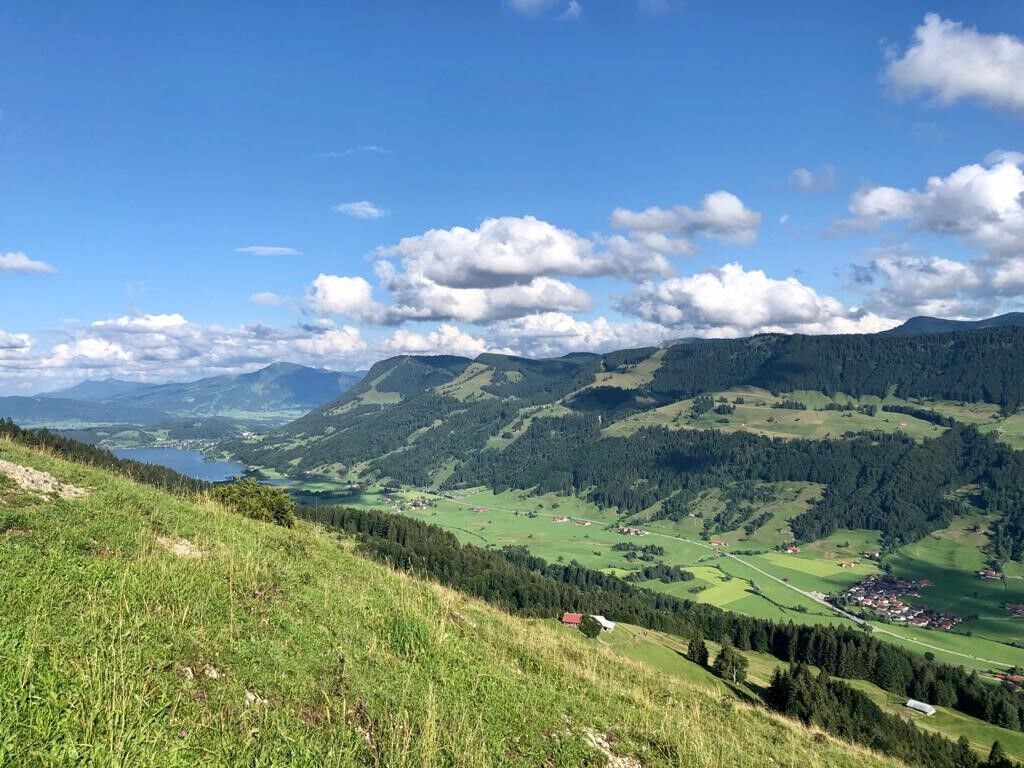
From the station, head to Kalzhofen and follow the signs for the Allgäu hiking trilogy. Ascend along the golf greens to the Upper Gsangs Alpe. In dry conditions, we recommend taking the meadow path uphill with scenic views over the ridge of Muttener and Kalzhofener heights. In wet conditions, choose the path along the hiking trilogy. At the pass height of the Hompessenalpweg, follow the meadow and later the forest path toward the summit of the Salmaser Höhe. Enjoying magnificent views, proceed eastward with moderate ups and downs over the Thaler Höhe to the Alpsee-Tiefblick viewpoint.
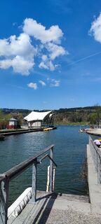
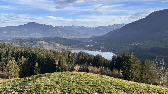
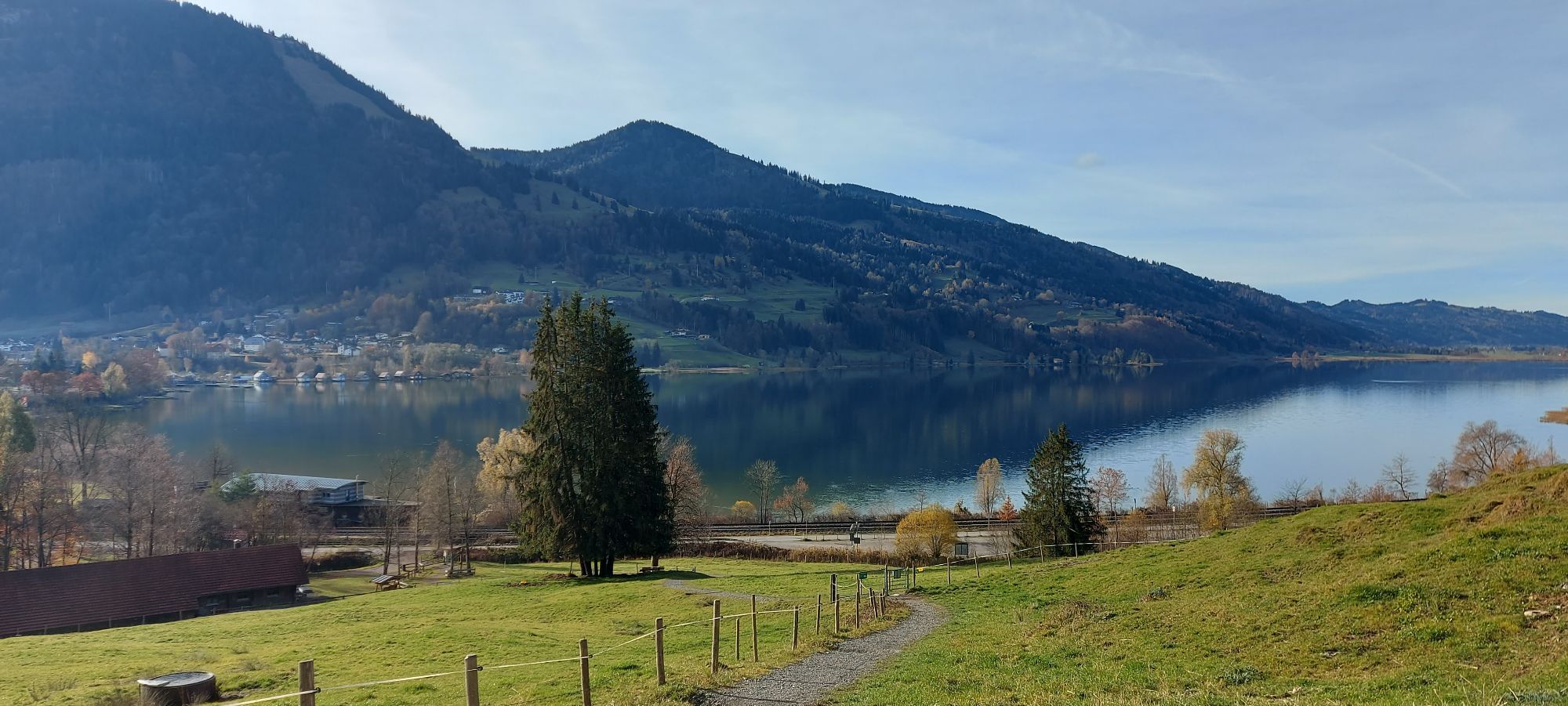
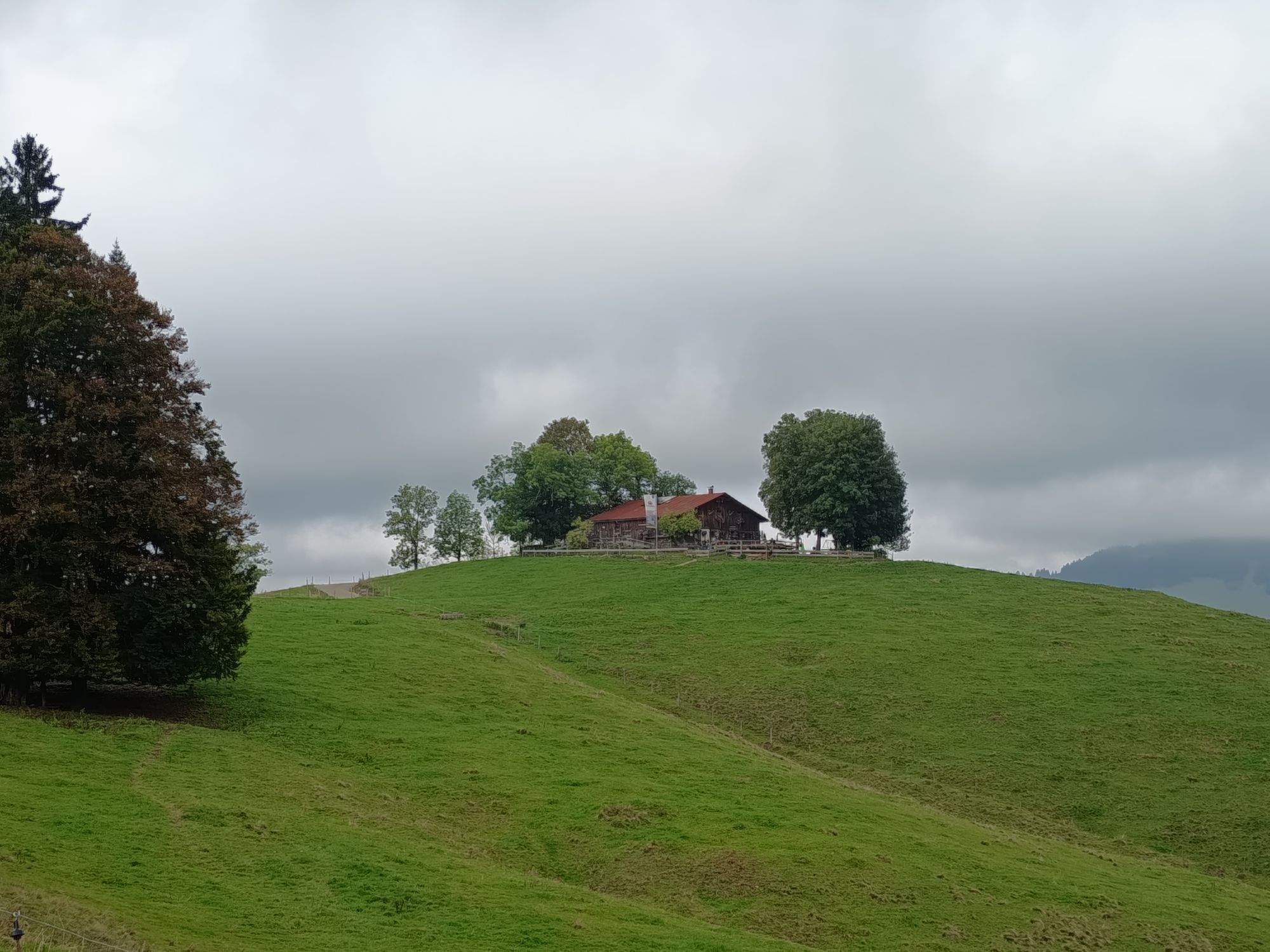
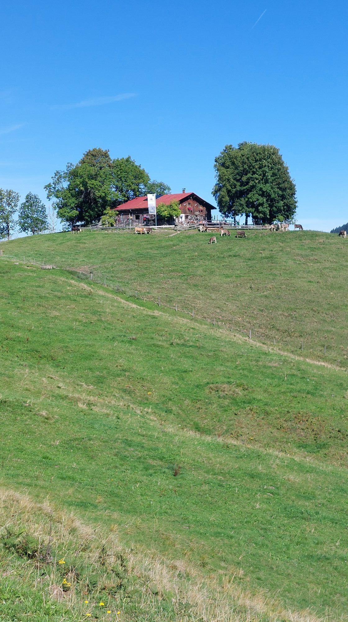
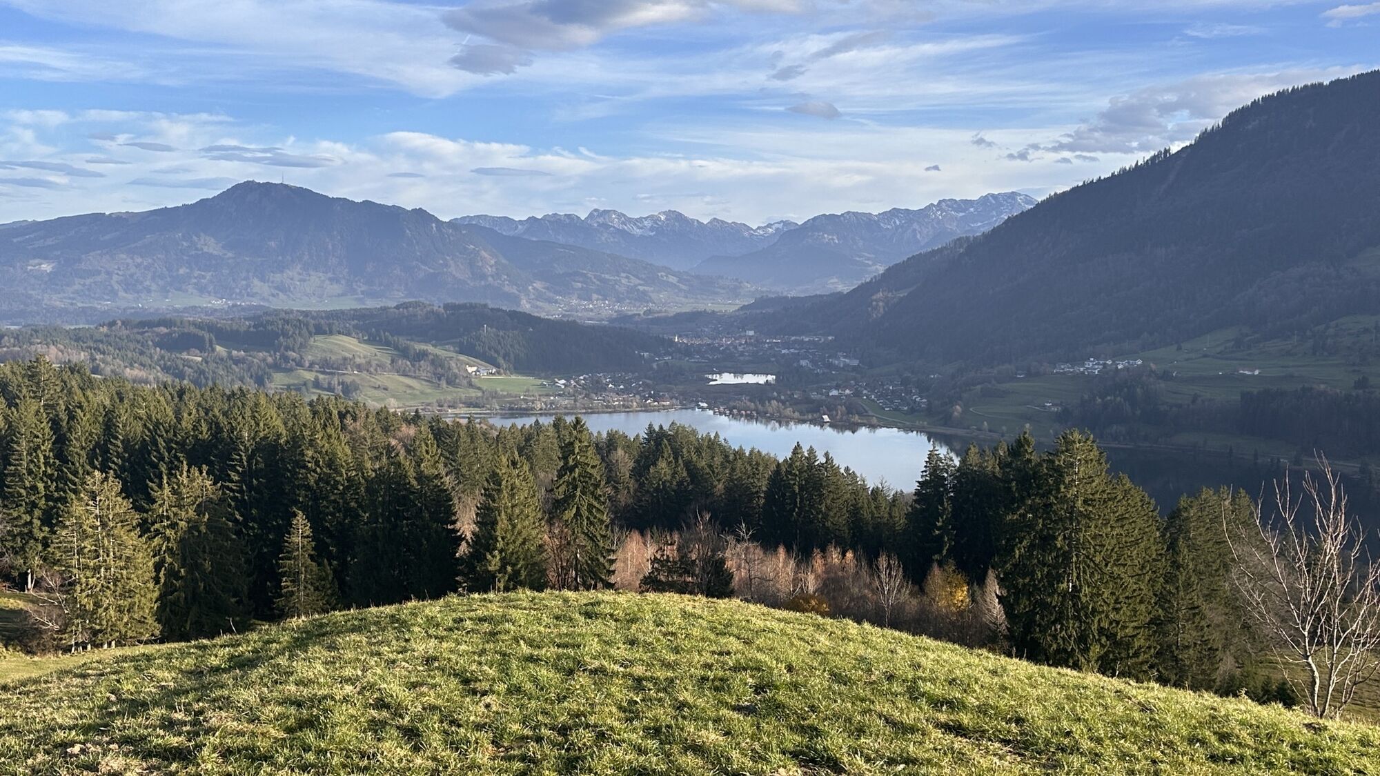
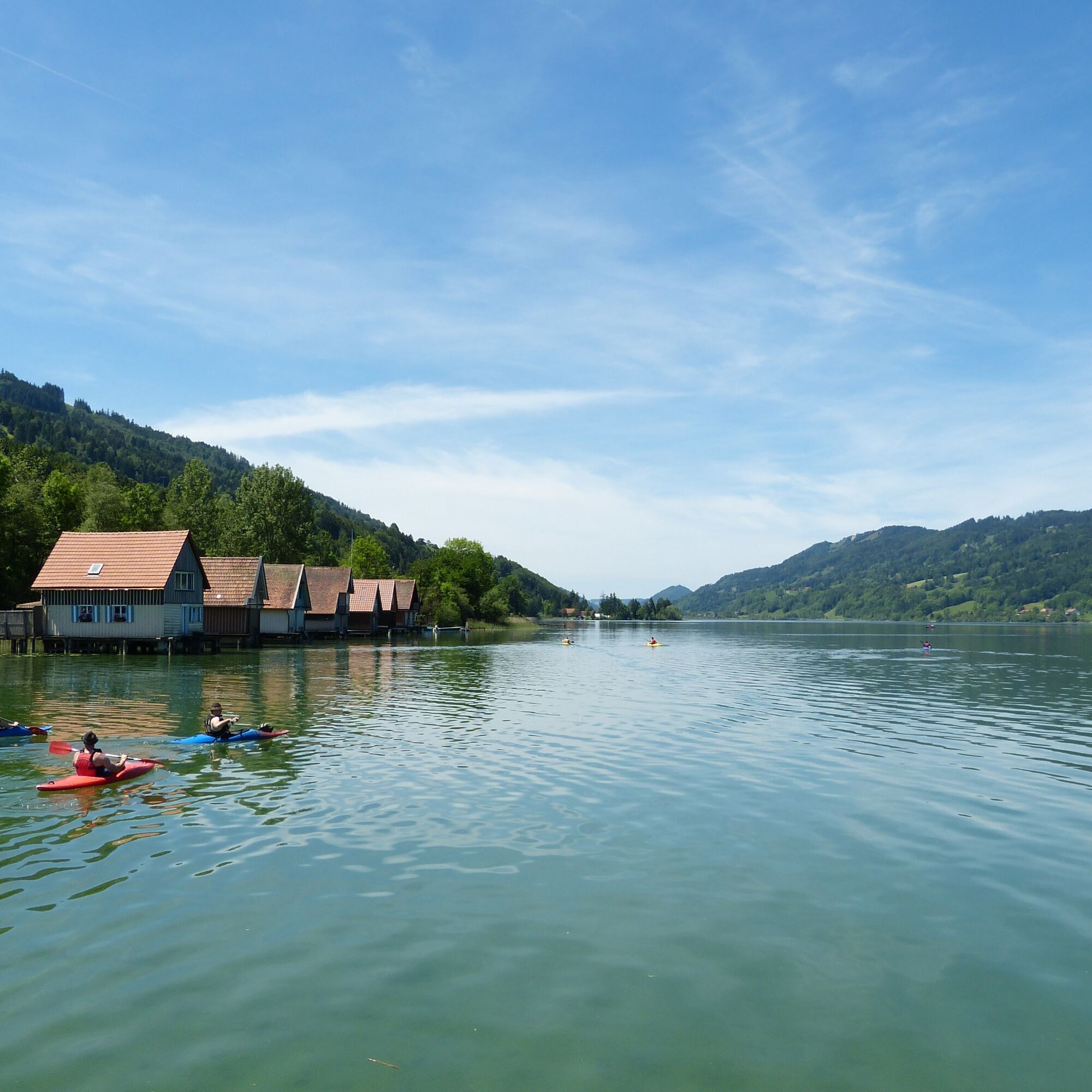
Continue toward the rustic Pfarralpe (refreshment option), but before that, turn right and take a lovely hiking trail to the Siedel Alpe (refreshment option). Follow the signs to Zaumberg, then turn right and take a hiking path down to the Großer Alpsee. Along Hausers’ beach by the promenade to Bühl (with several refreshment options) and past the church to the bus stop on B 308. Return by regular bus to Oberstaufen.

Via the B 308 to Oberstaufen
Using bus and train in and around Oberstaufen?
Information, bus timetables, and an overview map at oberstaufen.de/bus-parken
Paid parking spaces at the train station in Oberstaufen
T1
Get weather information in advance
Stay on the marked paths
Call 112 for emergency or use the SOS-EU-ALP emergency app
Bus connection line 39: www.oberstaufen.de/bus-parken
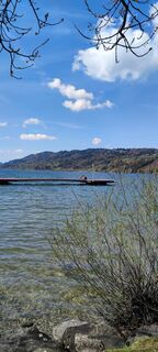
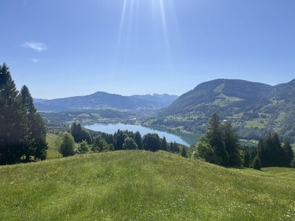
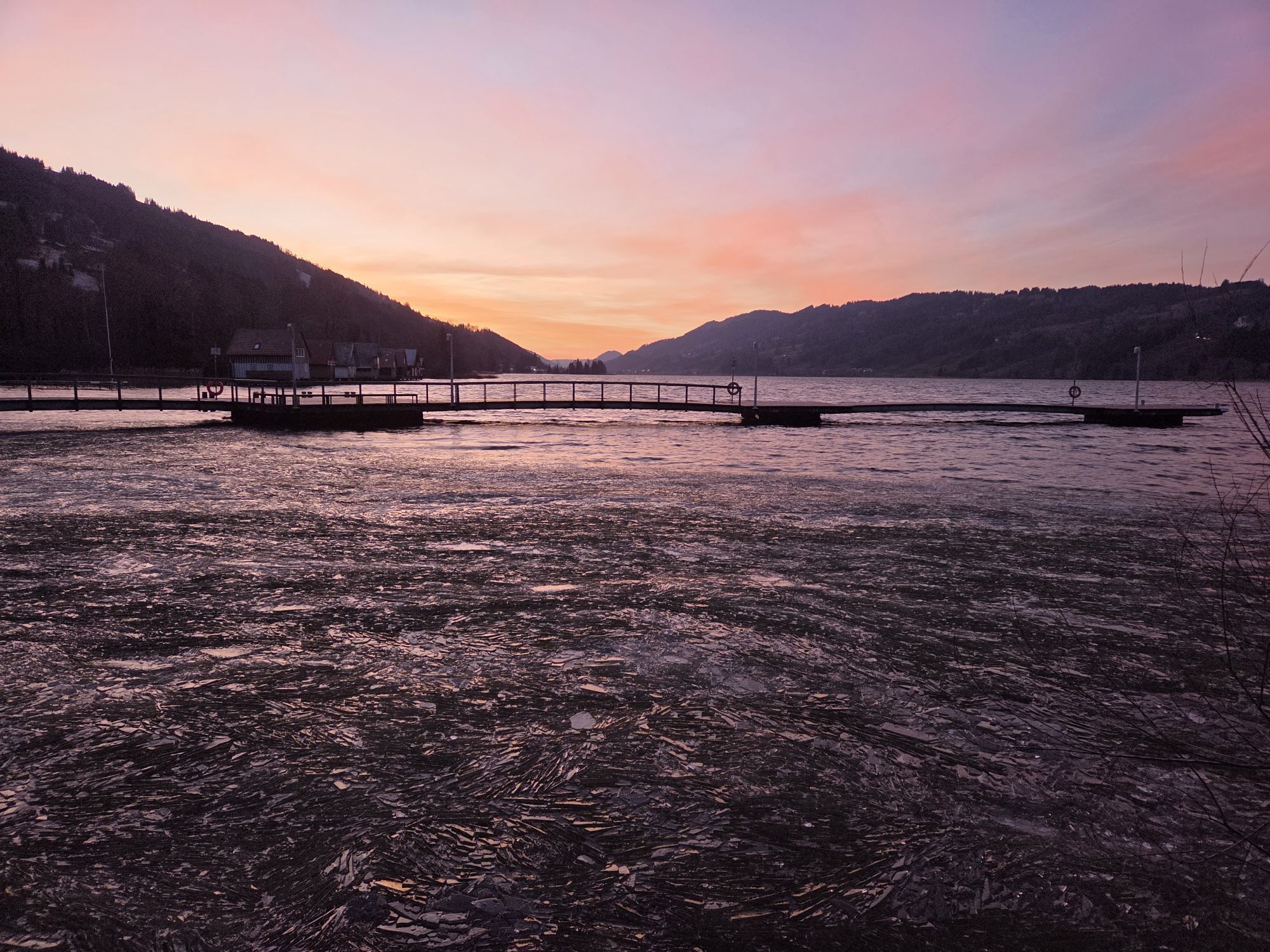
On warm days, pack your swimwear and end the route with a refreshing water experience in the Alpsee. A lovely sunbathing lawn is available on the northern shore.
Spletne kamere s turneje
-
Oberstaufen
-
Skilifte Sinswang
-
Oberstaufen - Biohotel Schratt
-
Oberstaufen - Biohotel Schratt
-
Segelclub Alpsee
-
Oberstaufen
-
Segelclub Alpsee
-
Mittaggipfel
-
Alpe Hohenschwand
-
Oberstaufen
-
Oberstaufen
-
Oberstaufen
-
Oberstaufen
-
Oberstaufen
-
Thaler Höhe
-
Oberstaufen
-
Oberstaufen - Rosenalp
-
Hündlebahn Bergstation
-
Imberghaus
-
Thaler Höhe
-
Oberwilhams
-
Oberstaufen
-
Oberwilhams
-
Missen-Börlas
-
Ortsansicht Missen
-
Alpsee Bergwelt
-
Alpsee Bergwelt
-
Alpsee Bergwelt - Bärenfalle
Priljubljeni izleti v okolici
-
4.6
Steibis - Buchenegger Waterfalls
srednjaPohodništvo 6.47 km -
4.5
Rindalphorn und Hochgrat
srednjaPohodništvo 15.6 km -
4.5
Immenstädter Horn - Gschwender Horn
svetlobaPohodništvo 10 km -
5.0
Siedelalpe Runde von See - Immenstadt
svetlobaPohodništvo 10.3 km -
3.8
Hörner Panoramatour
srednjaPohodništvo 17.3 km -
5.0
HörnerPanoramaTour
svetlobaPohodništvo 5.34 km -
5.0
Nagelfluh ridge route Hochgrat - Mittag
težkoPohodništvo 14.0 km -
3.5
Rundtour Mittag
svetlobaPohodništvo 15.7 km -
4.3
Circular route Steibis to Dreiländerblick
srednjaPohodništvo 7.95 km -
5.0
Circular route Hochgrat - Falkenhütte
težkoPohodništvo 14.2 km

Pohodništvo in sledenje


Ne zamudite ponudb in navdiha za naslednje počitnice
Vaš e-poštni naslov je bil dodan na poštni seznam.