







Holzeralm from Gmund
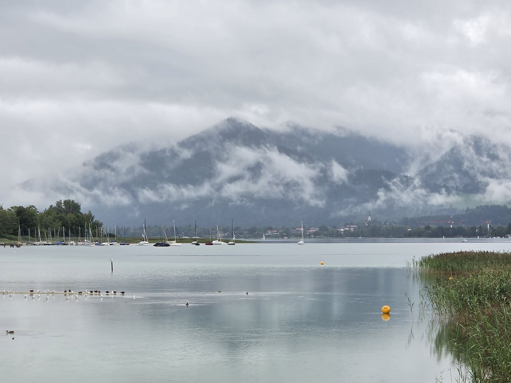
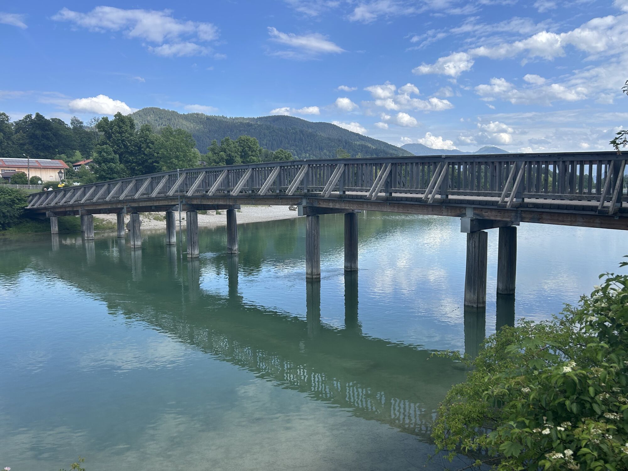
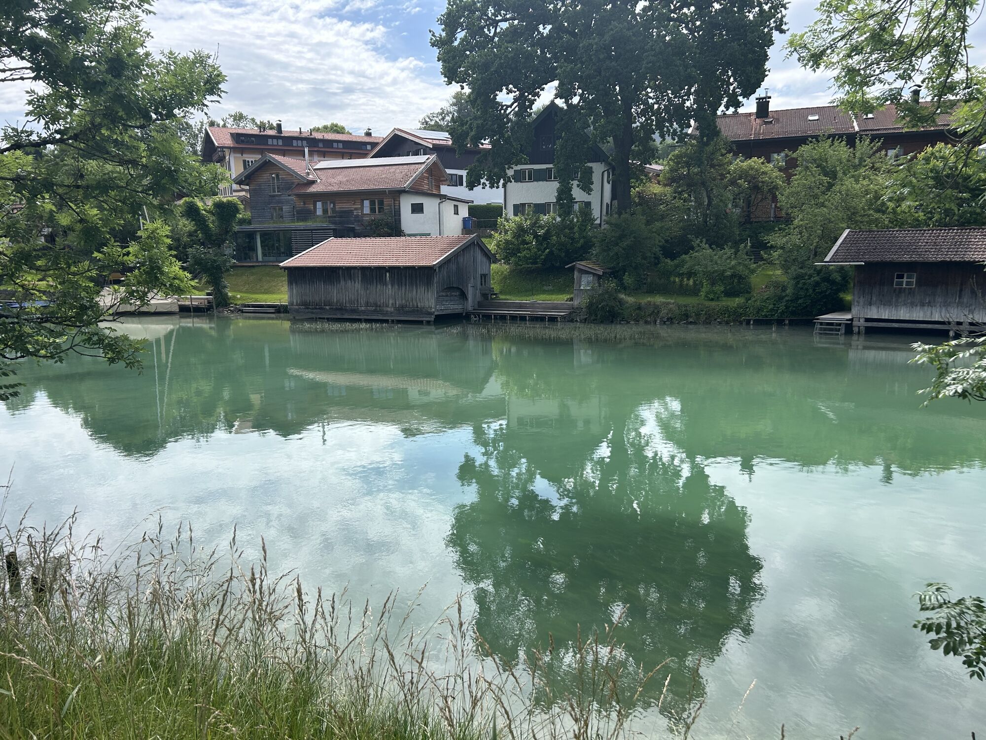
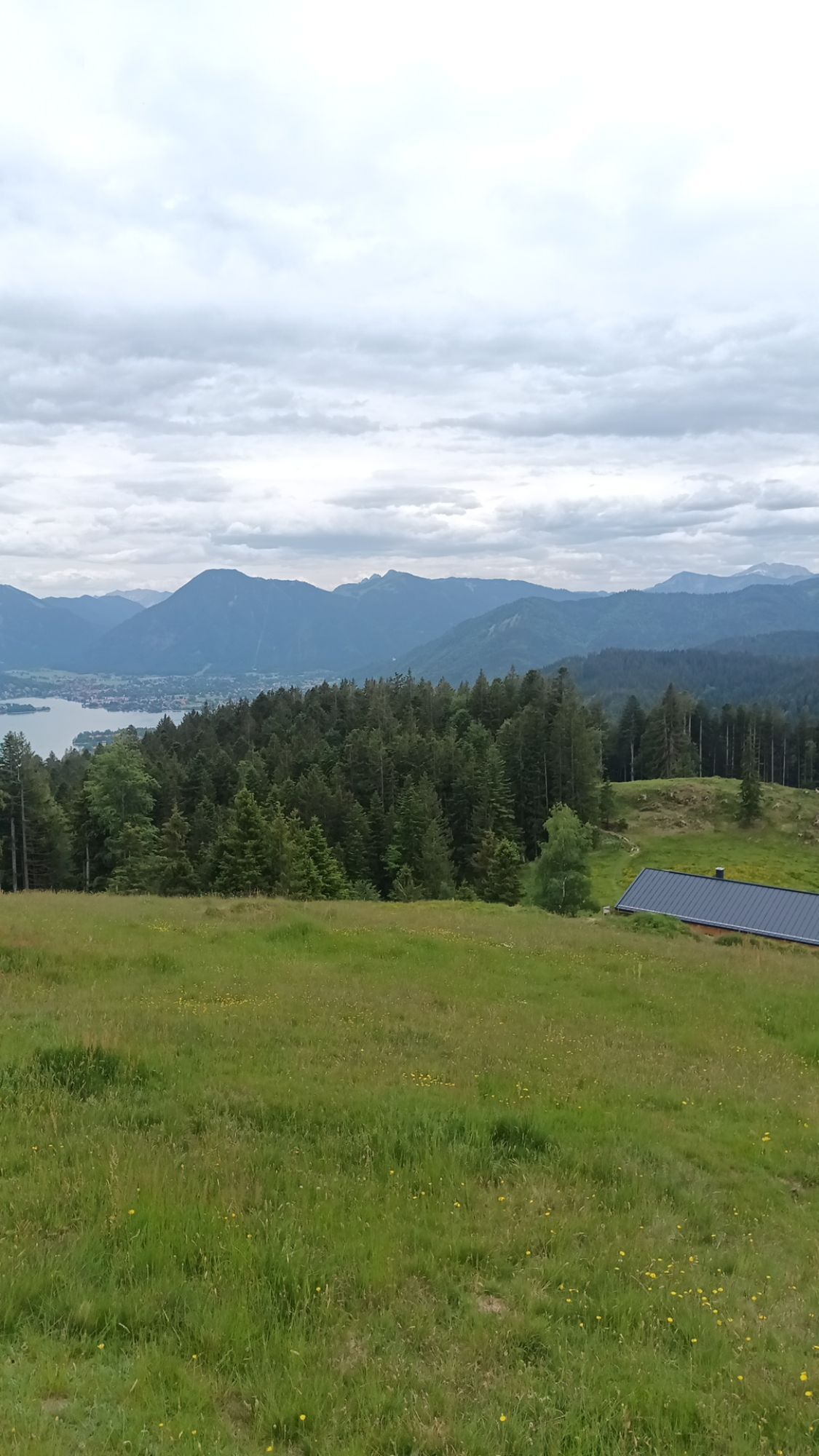
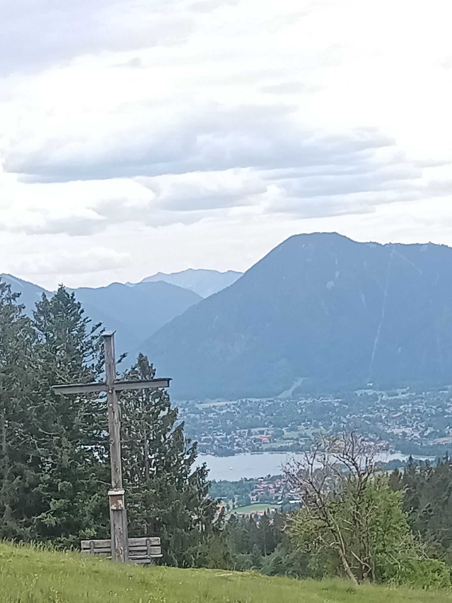
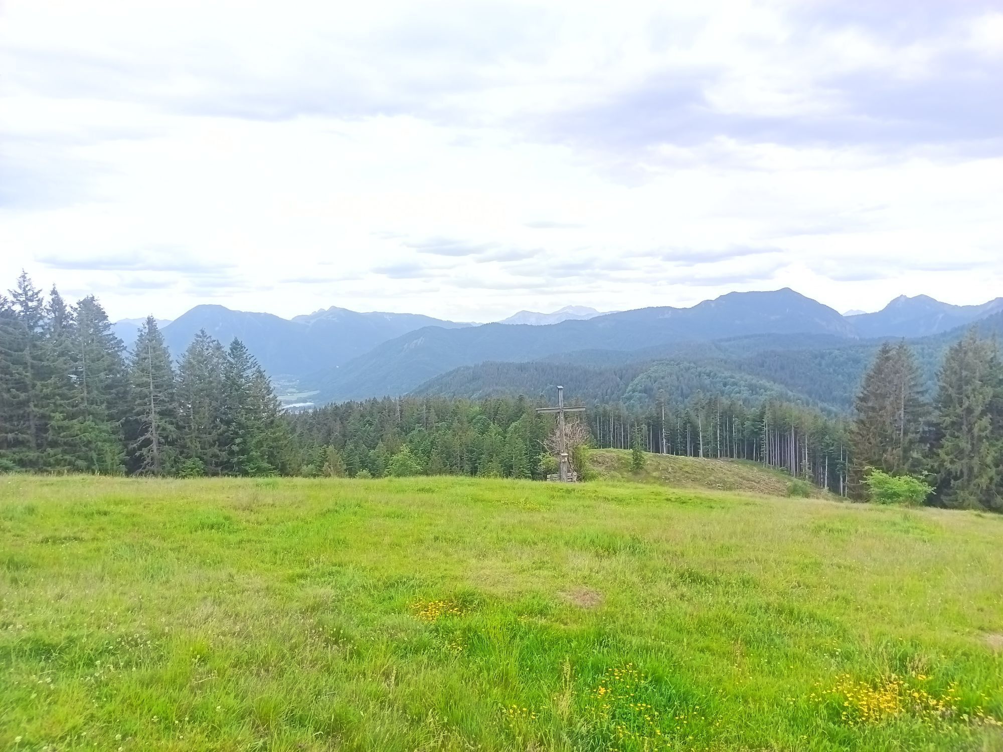
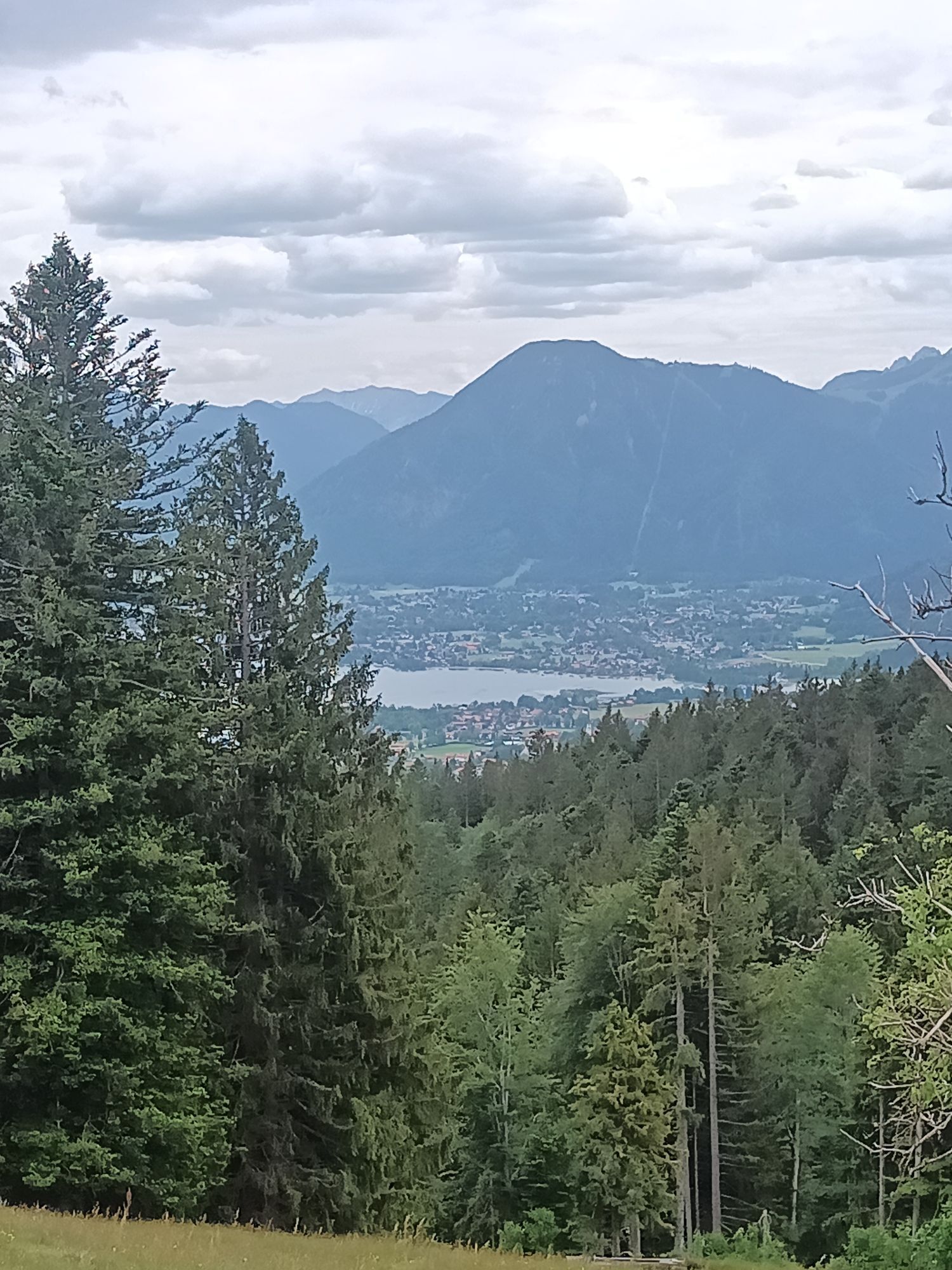
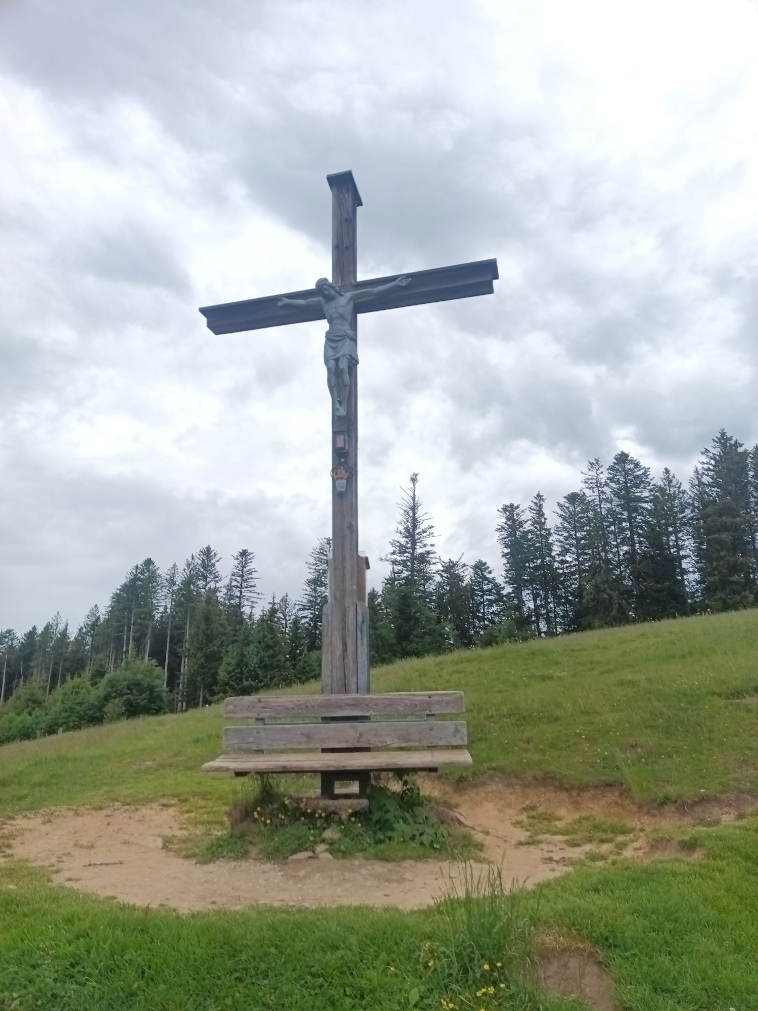
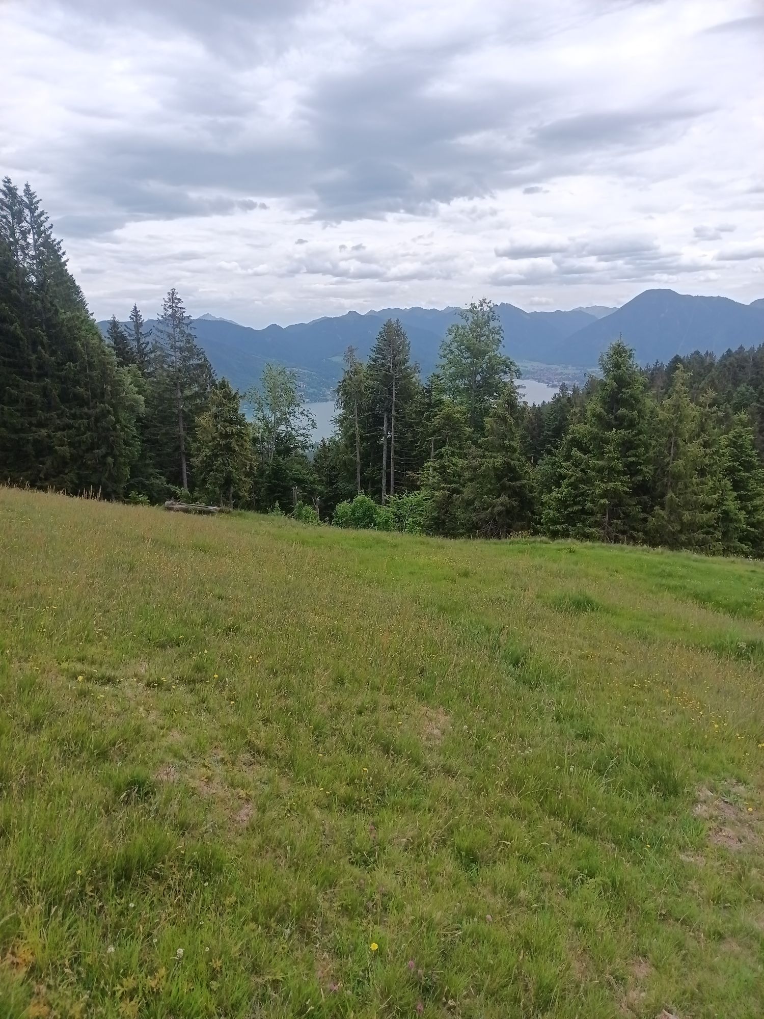
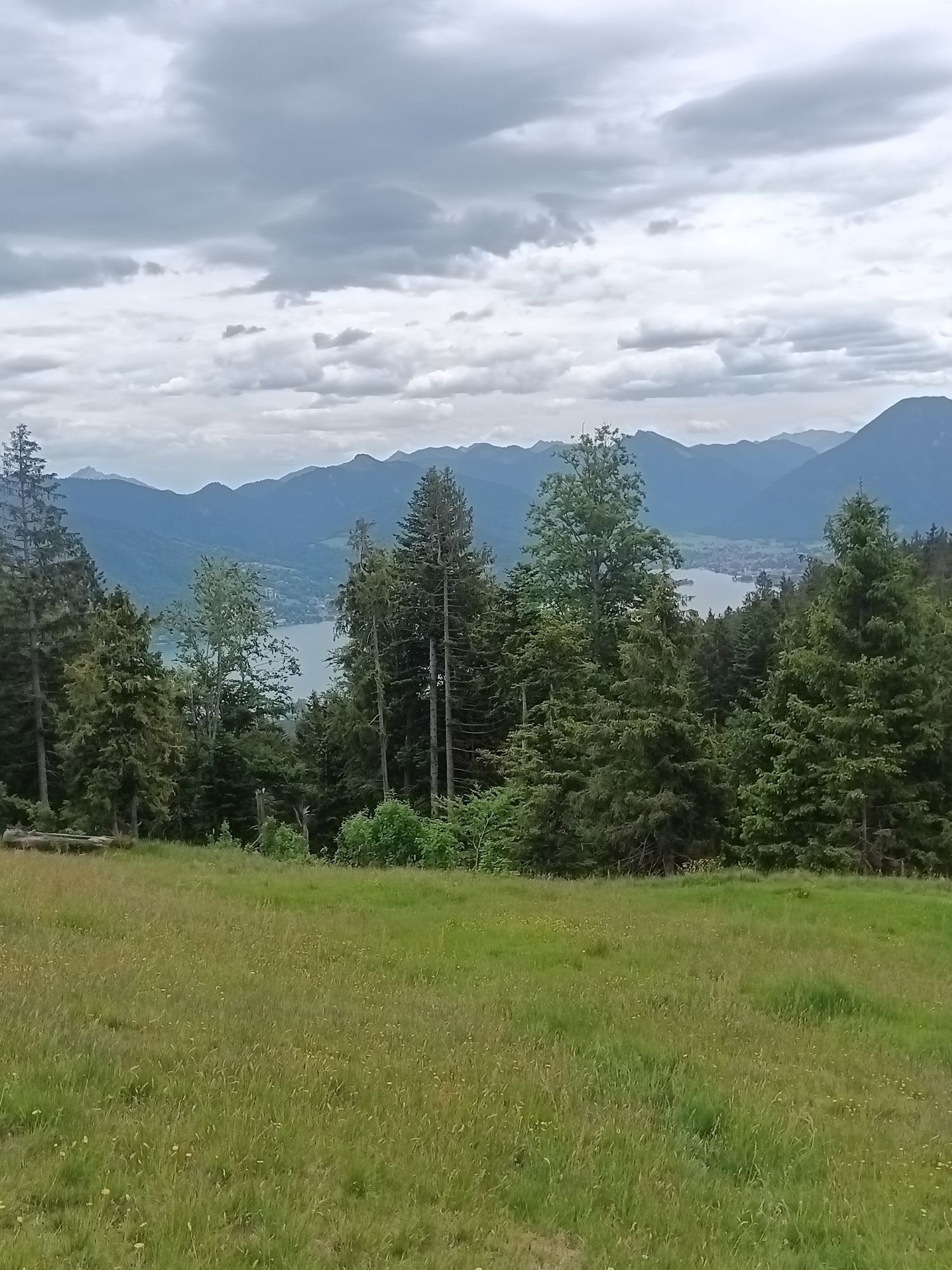
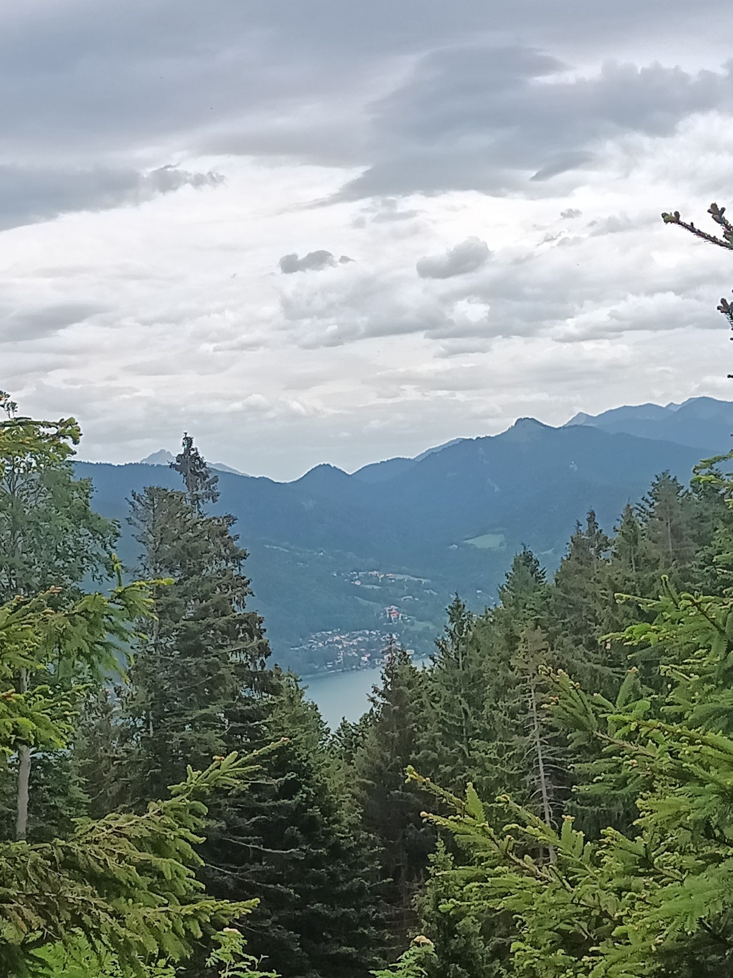
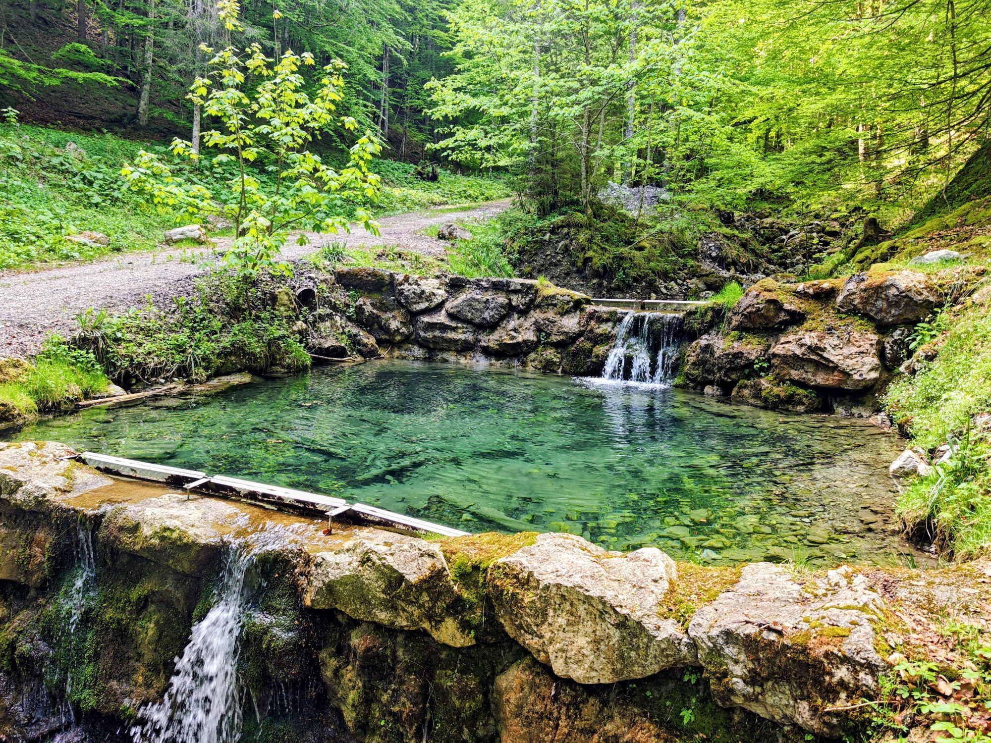
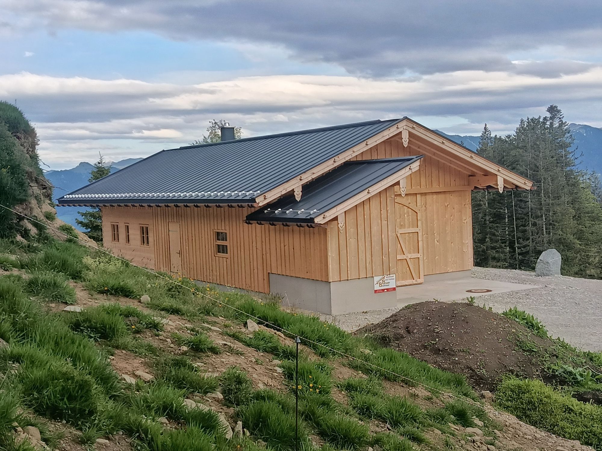
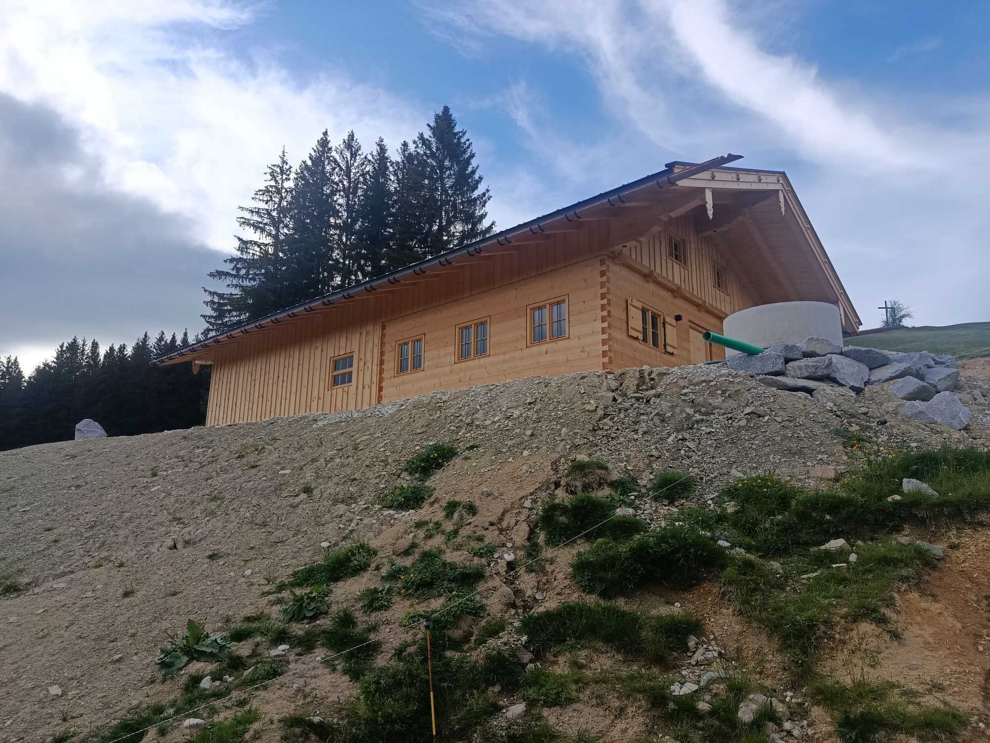
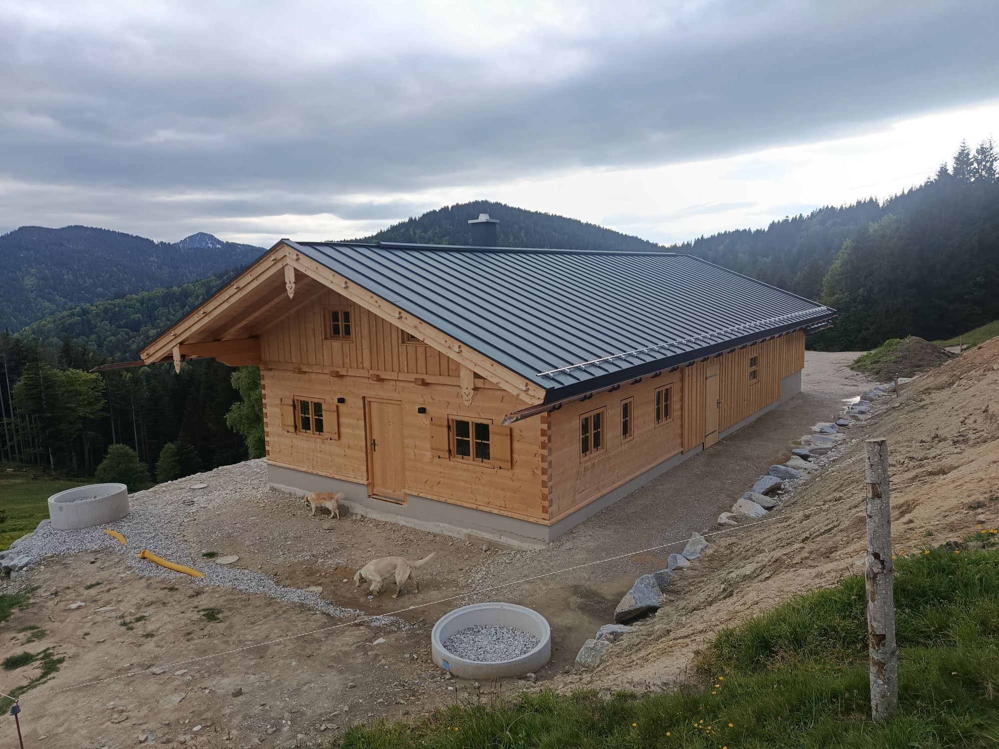
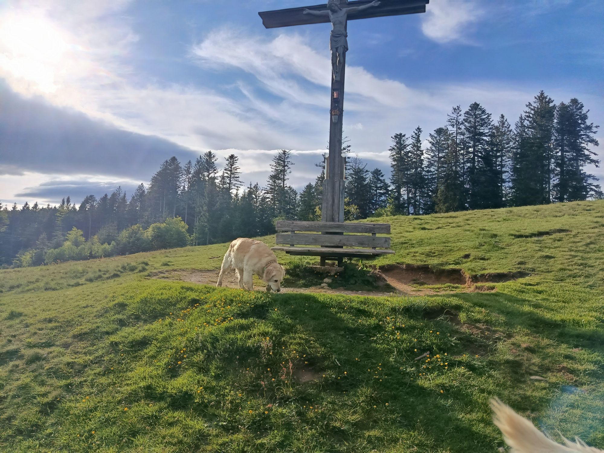
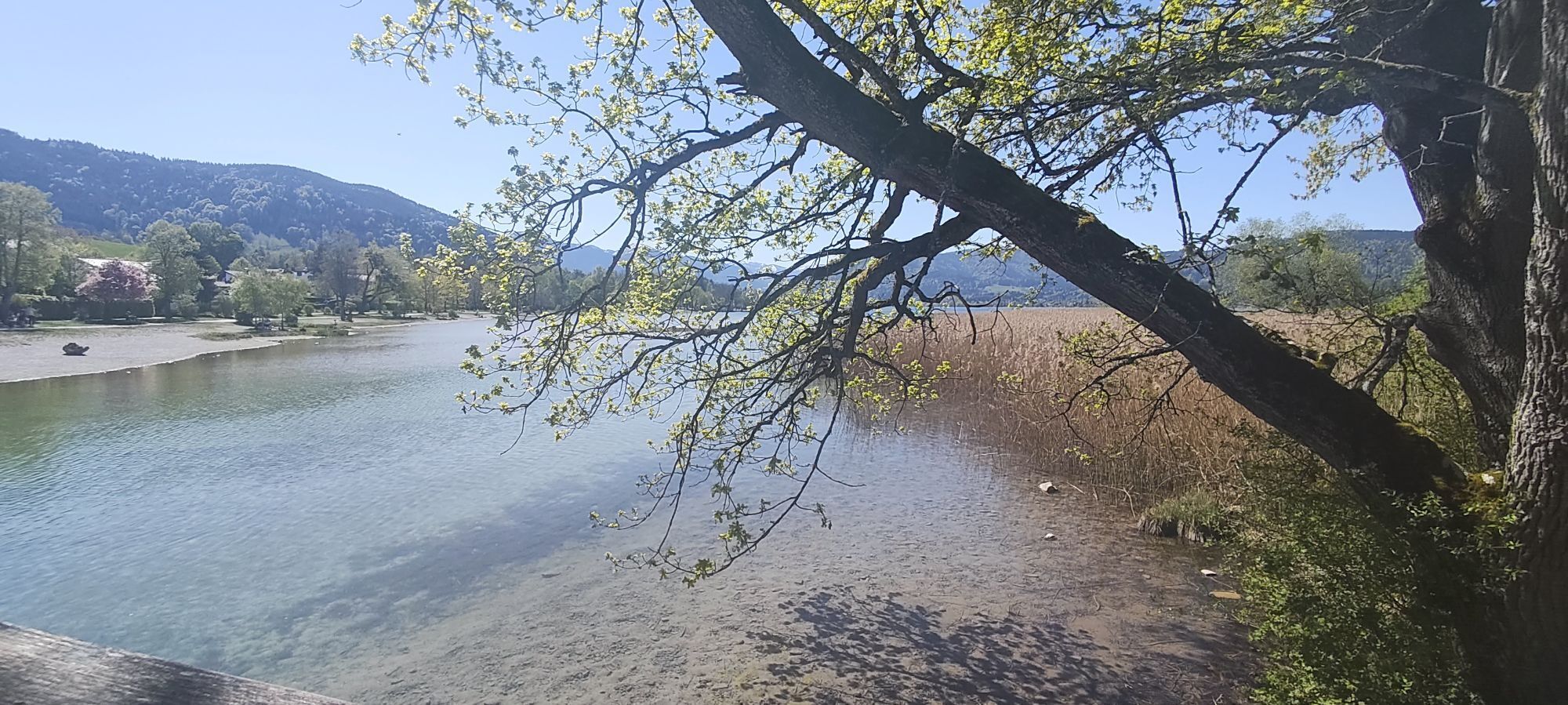
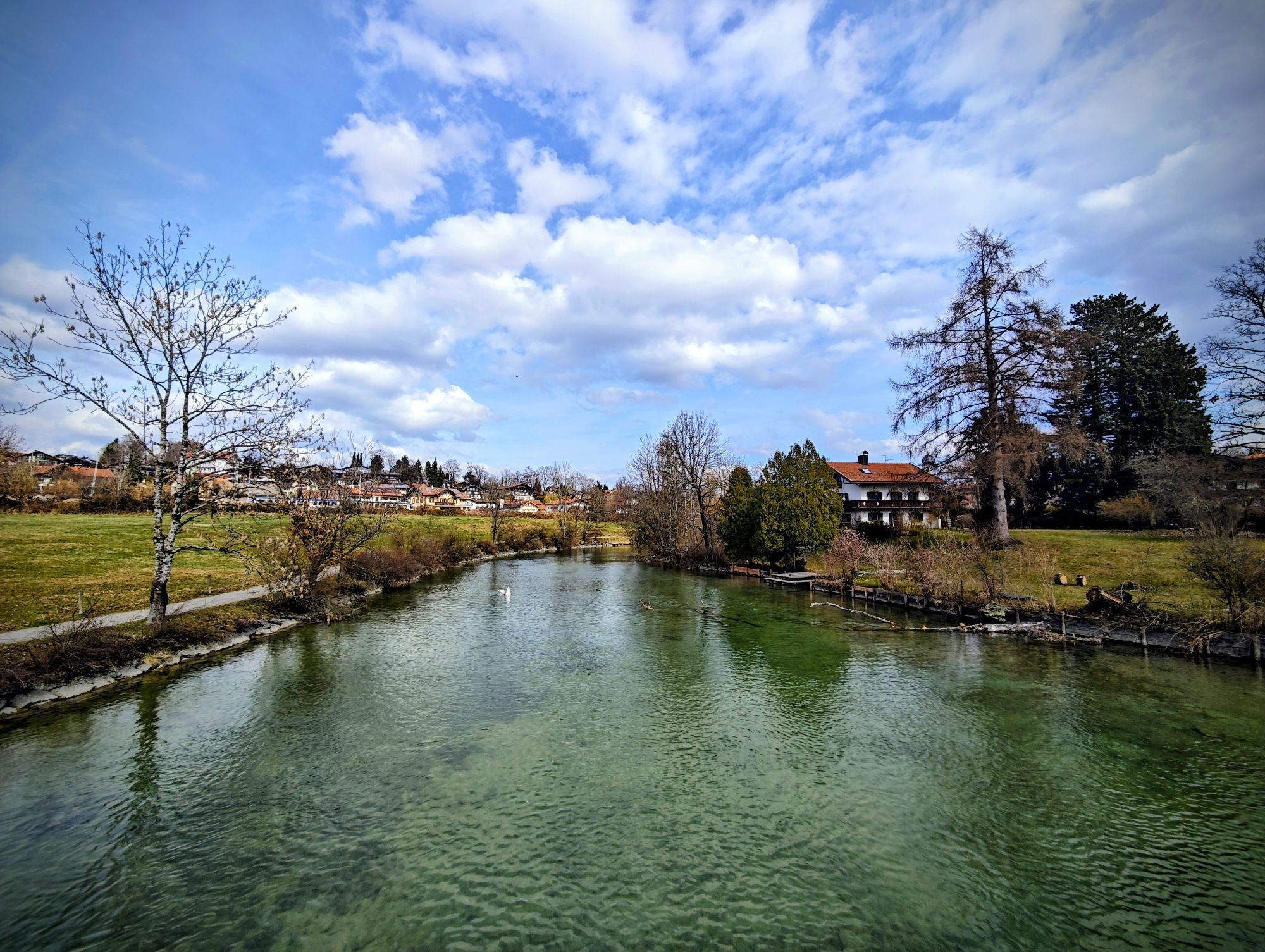
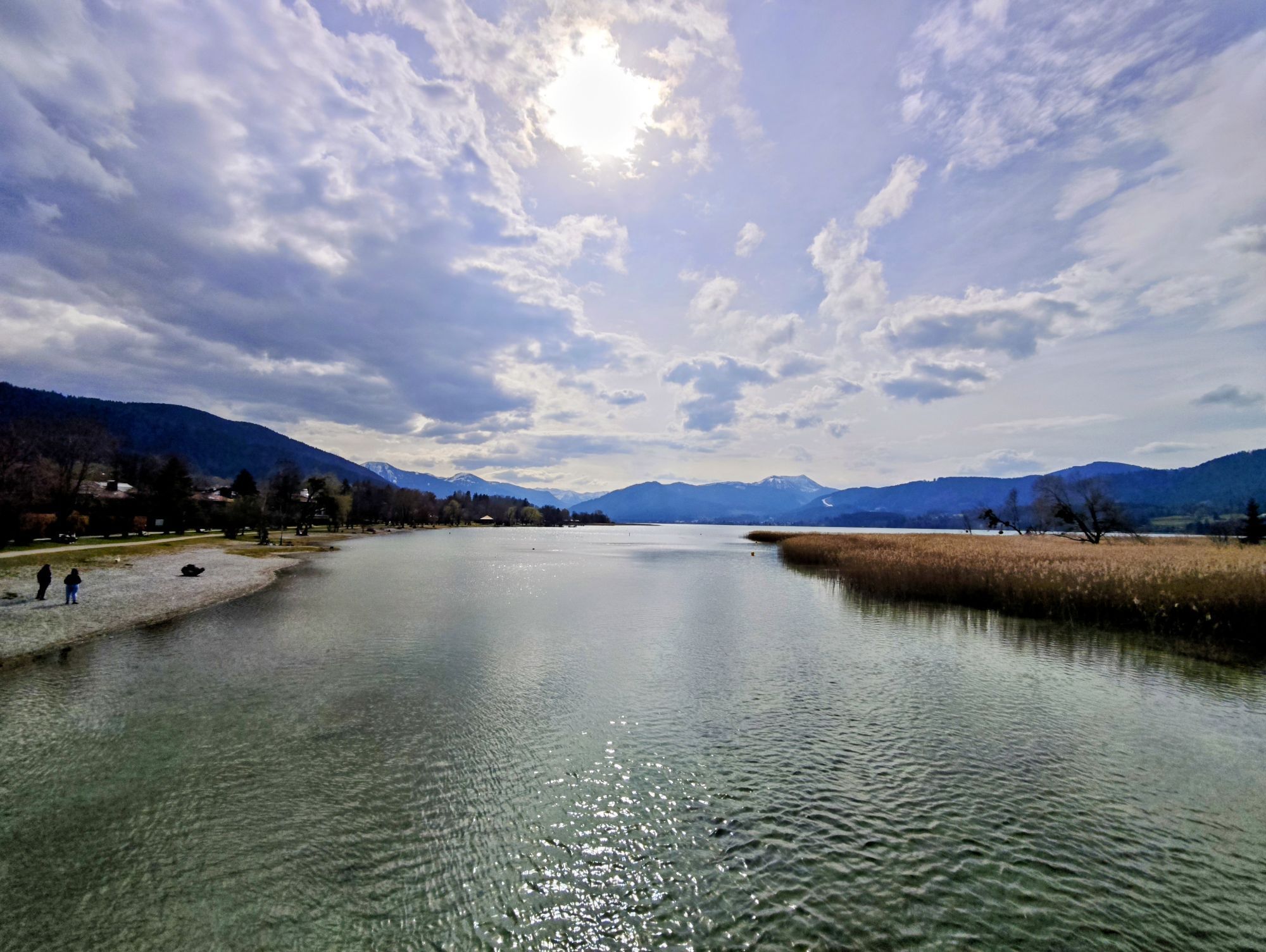
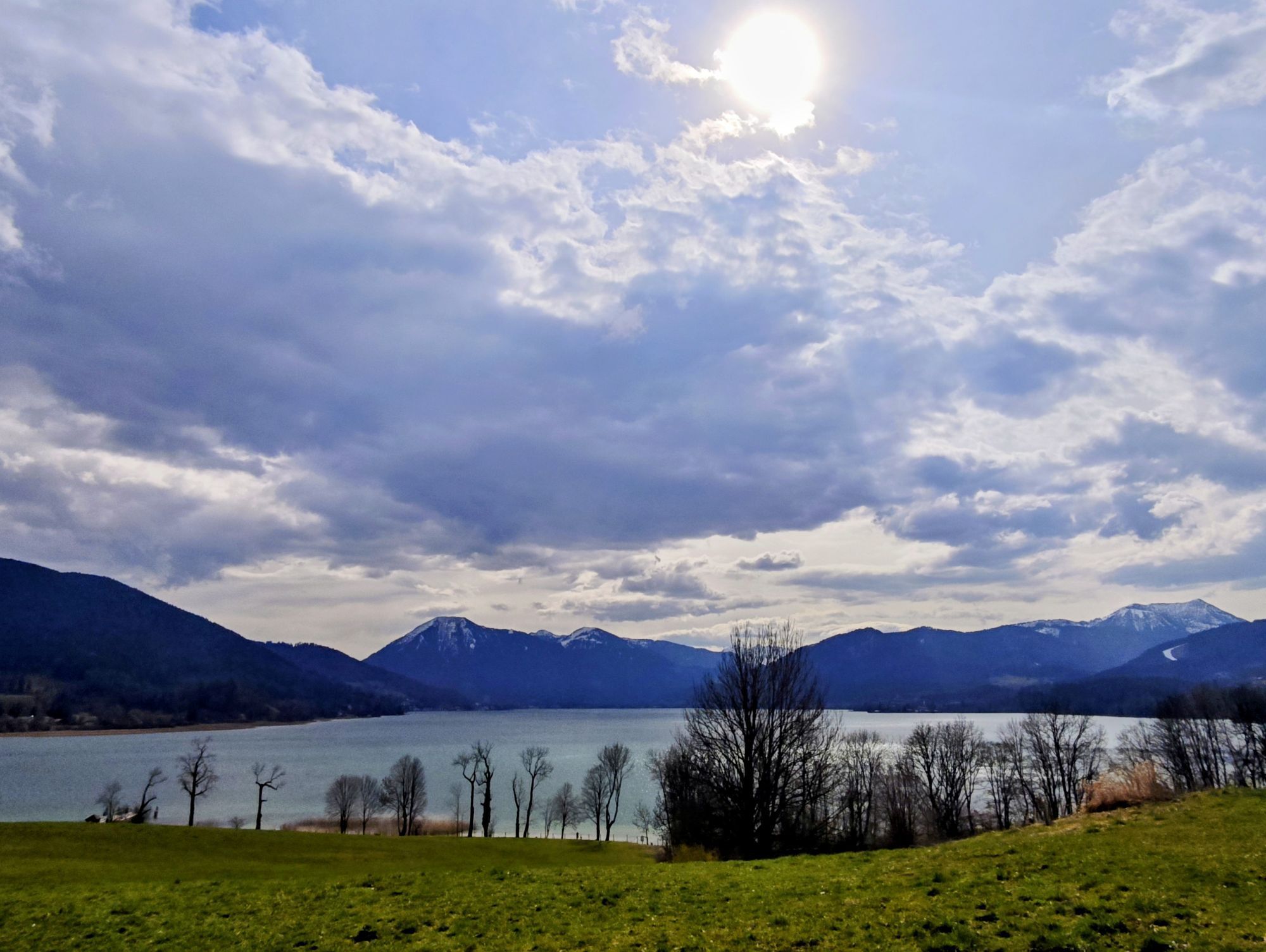
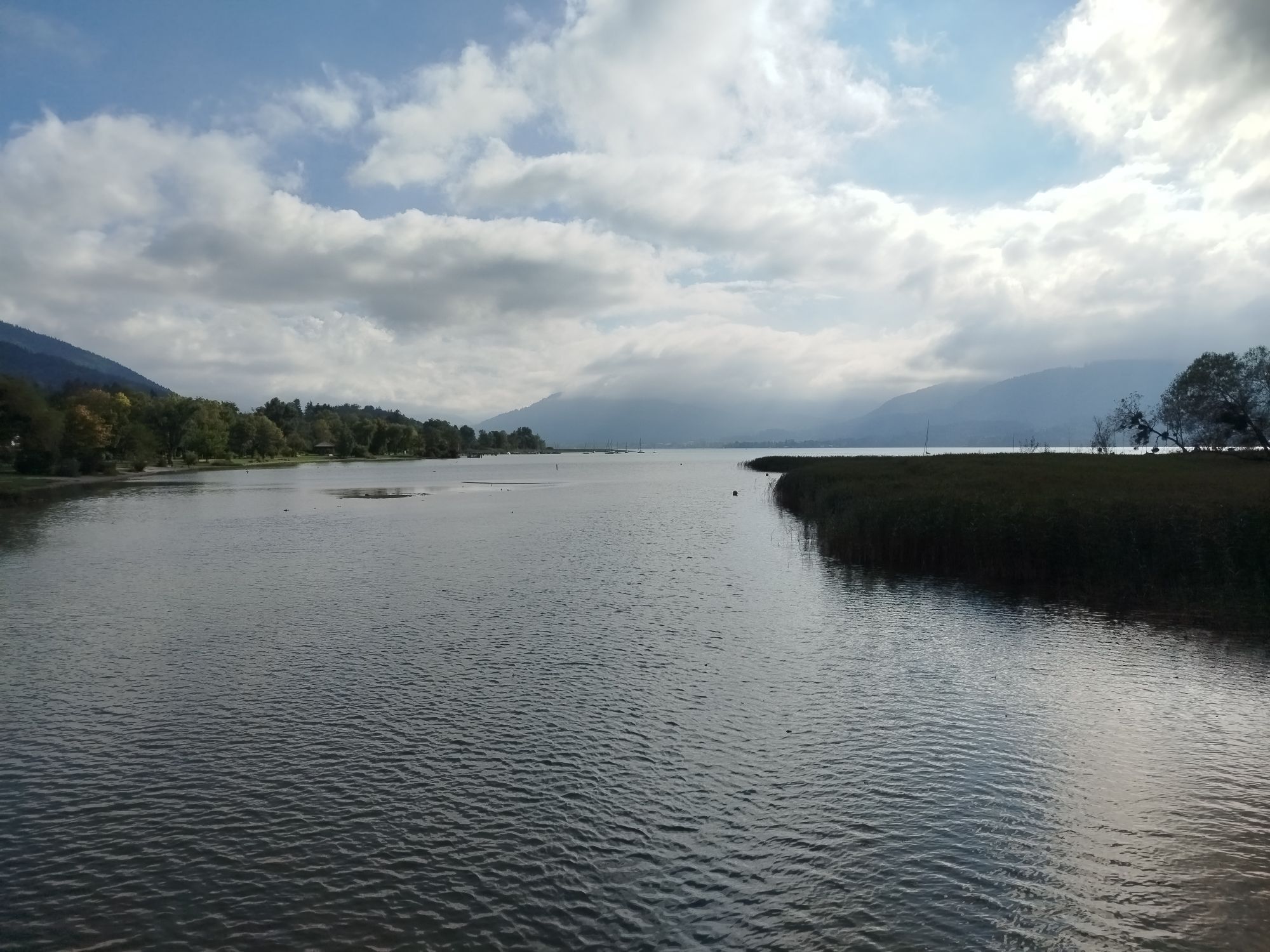
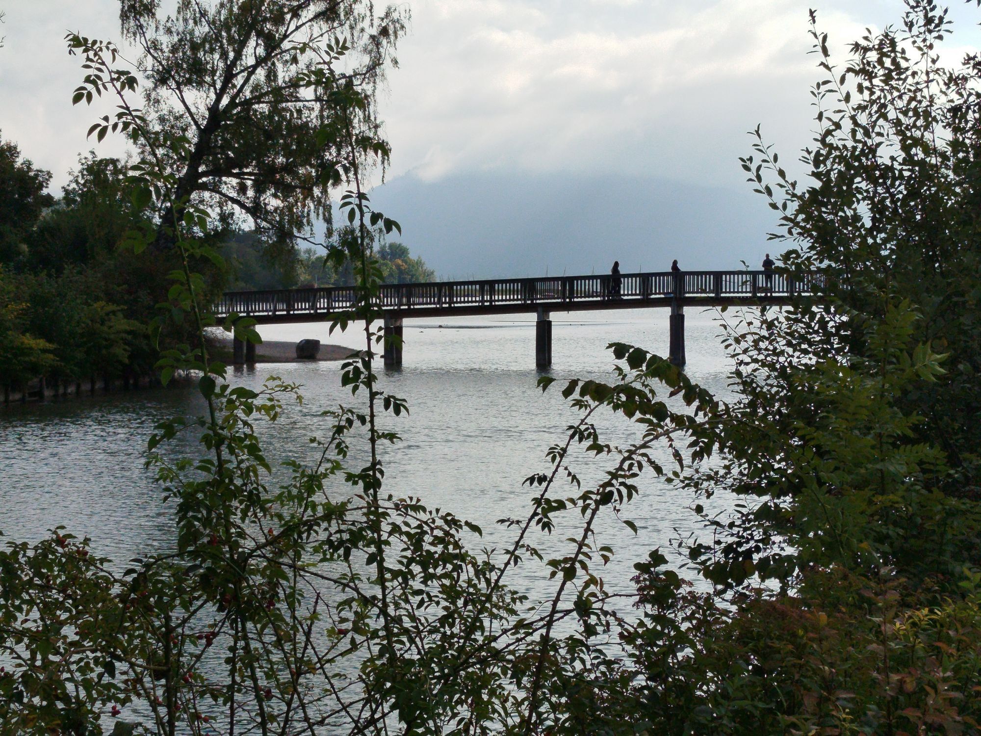
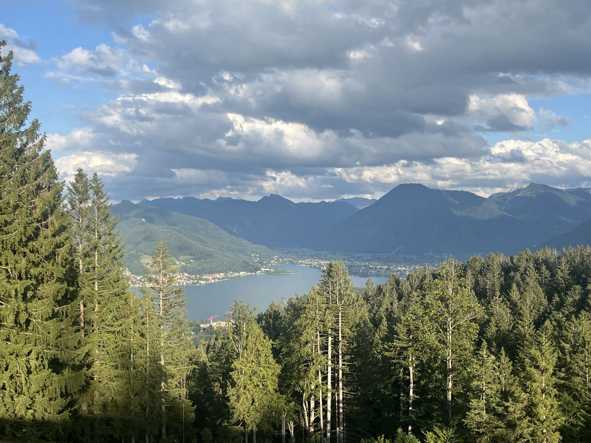
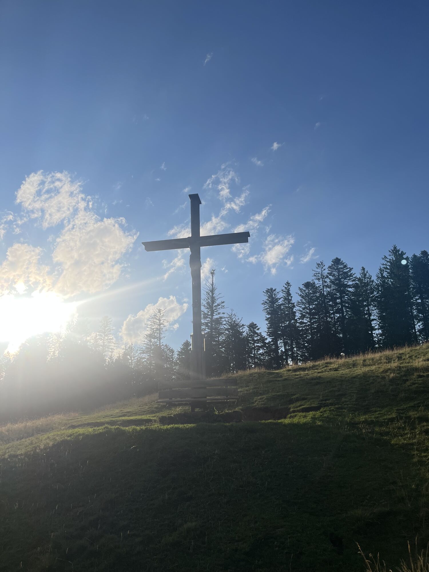
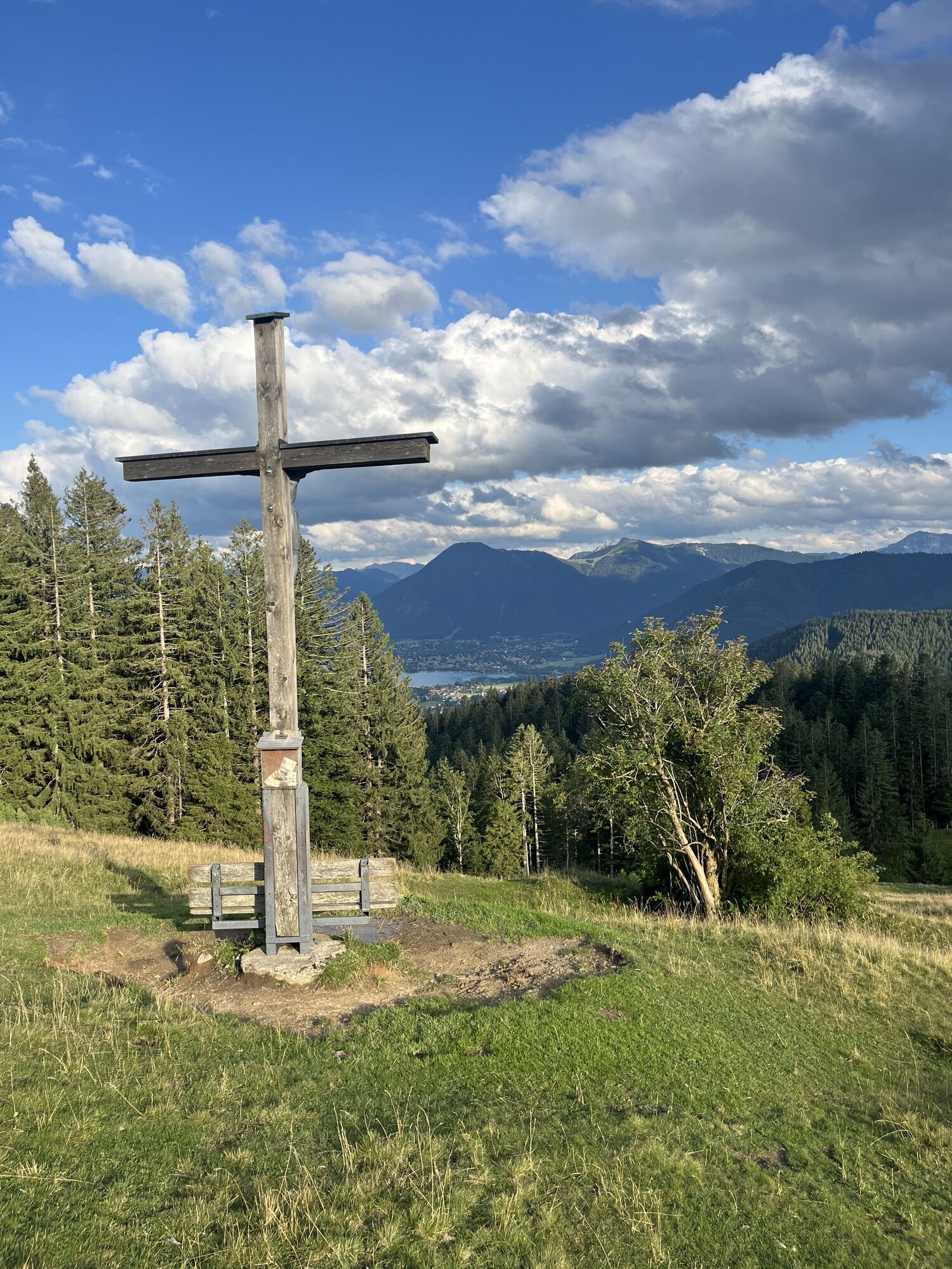
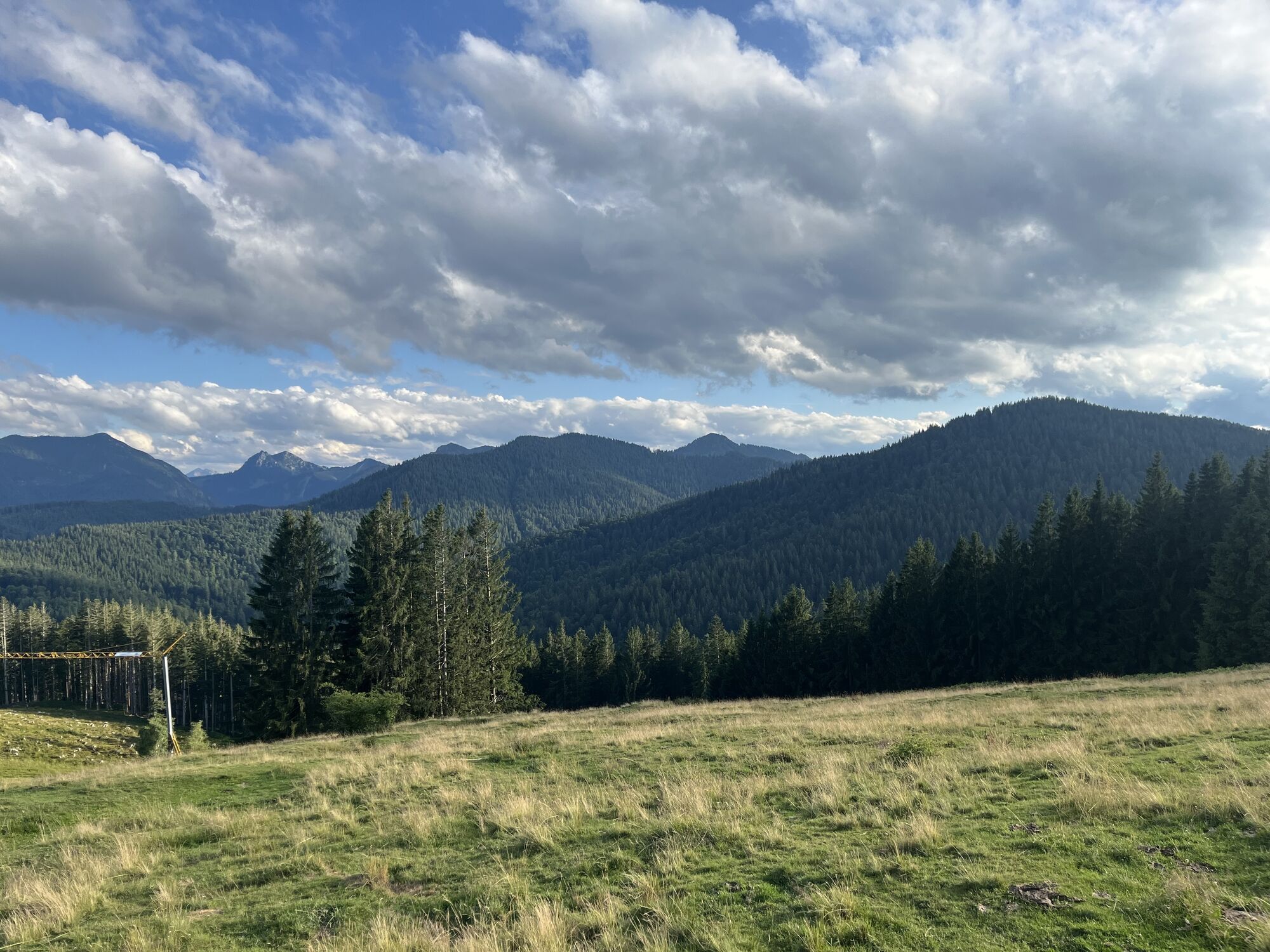
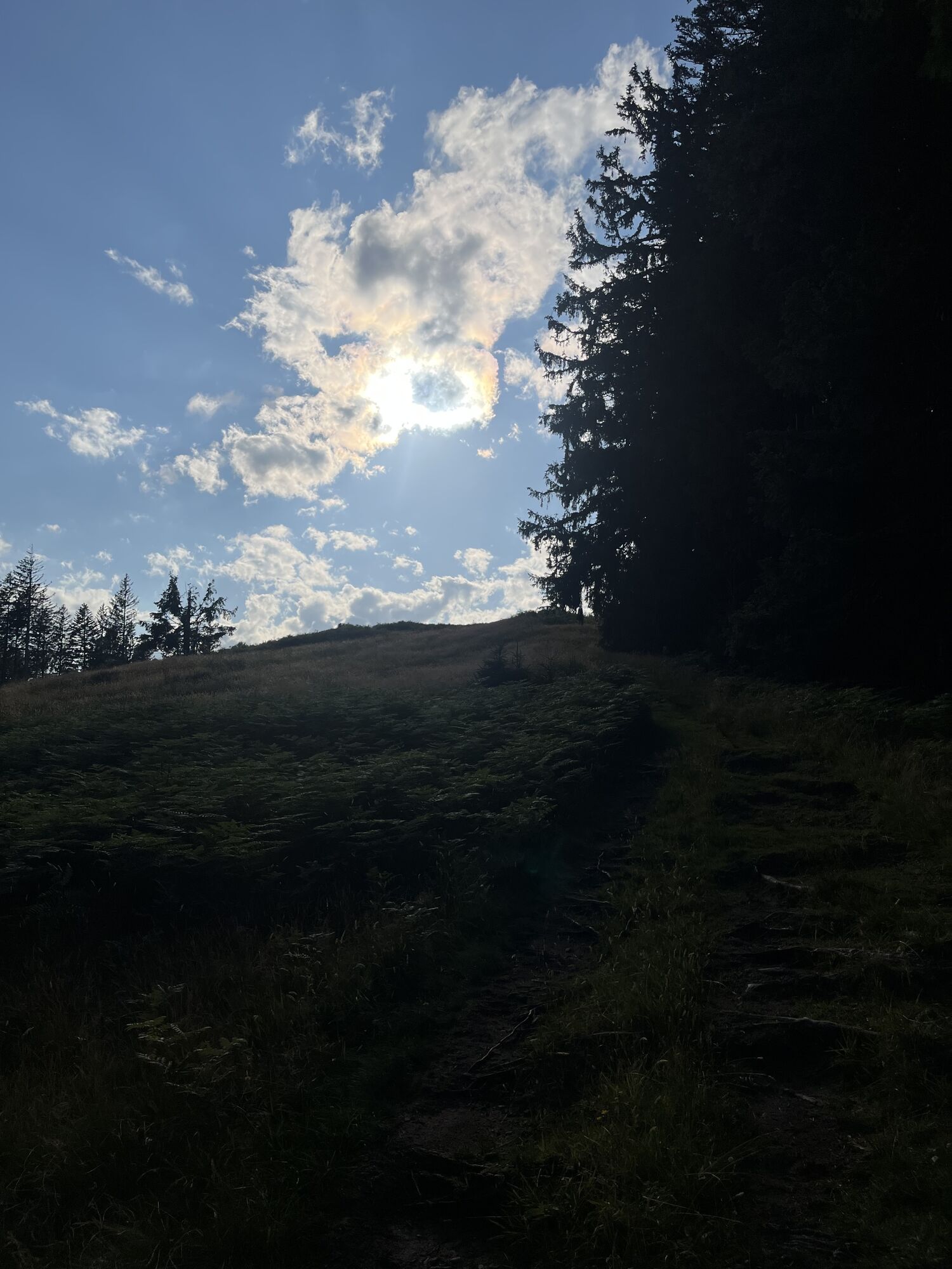
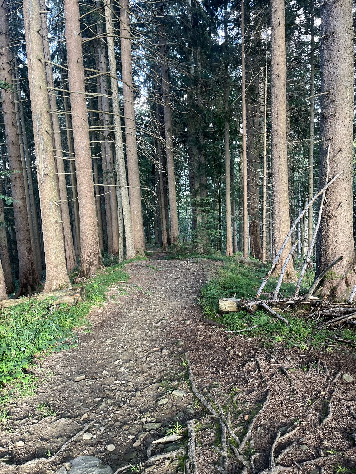
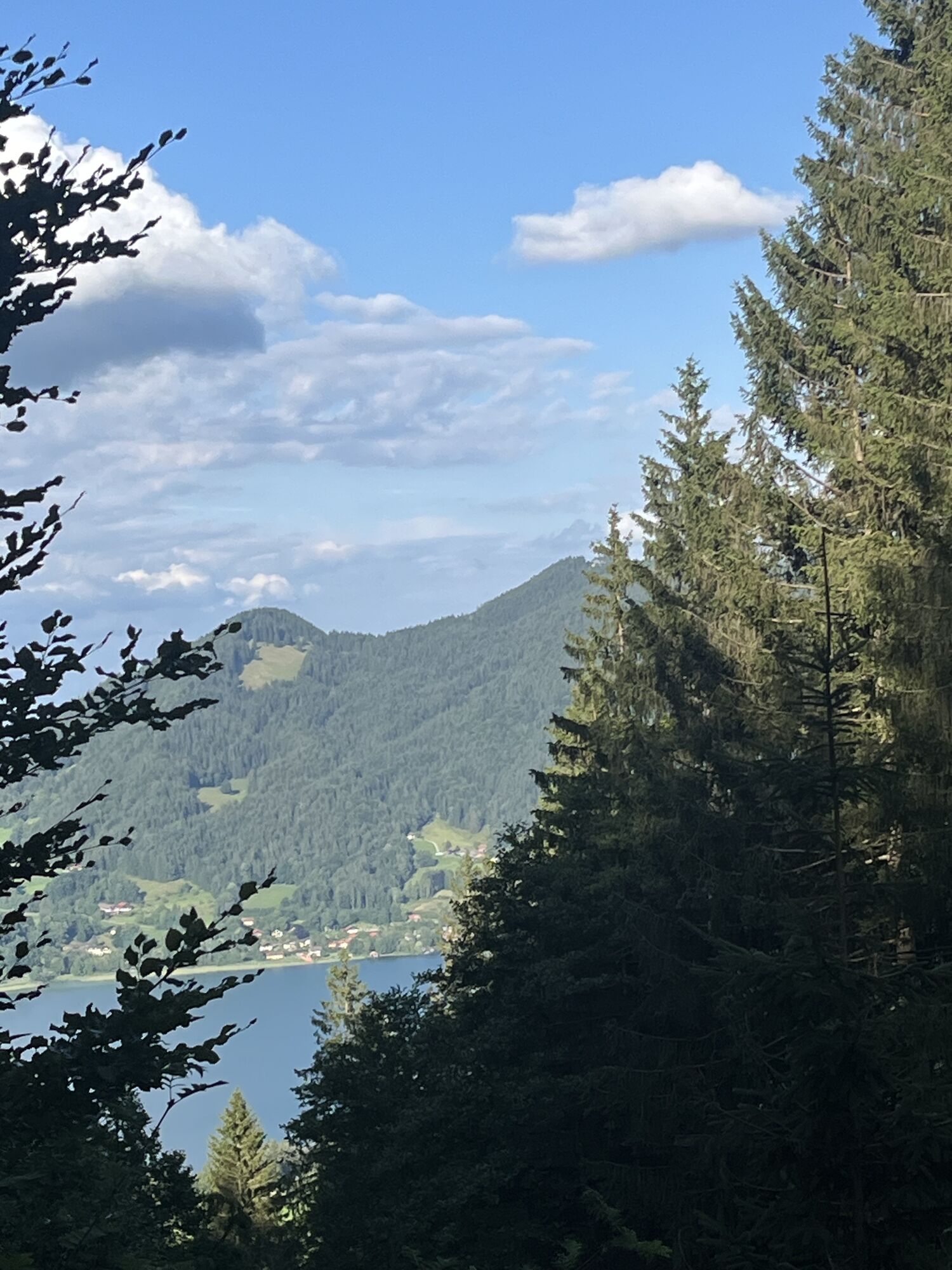
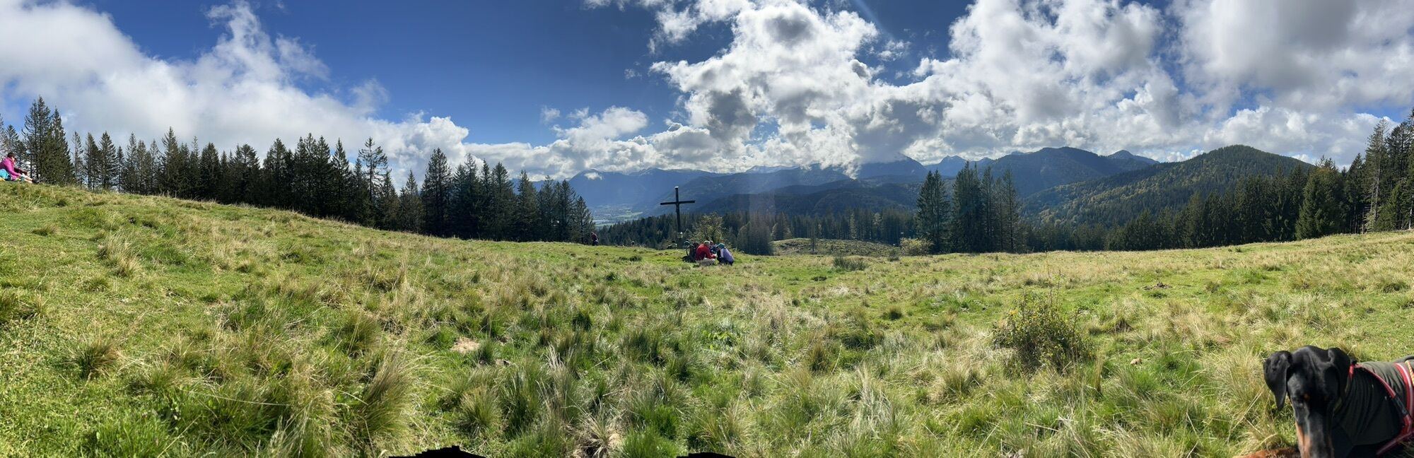


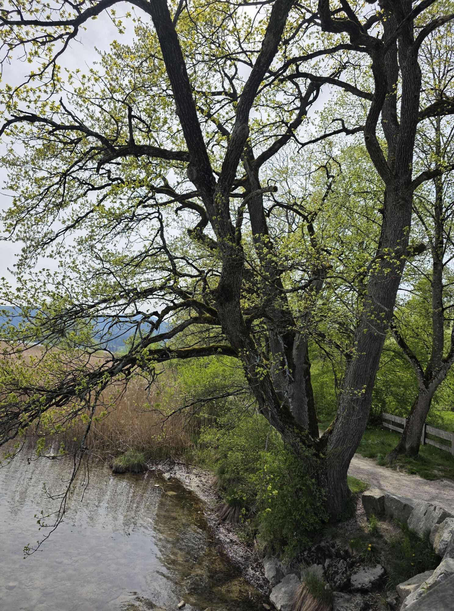
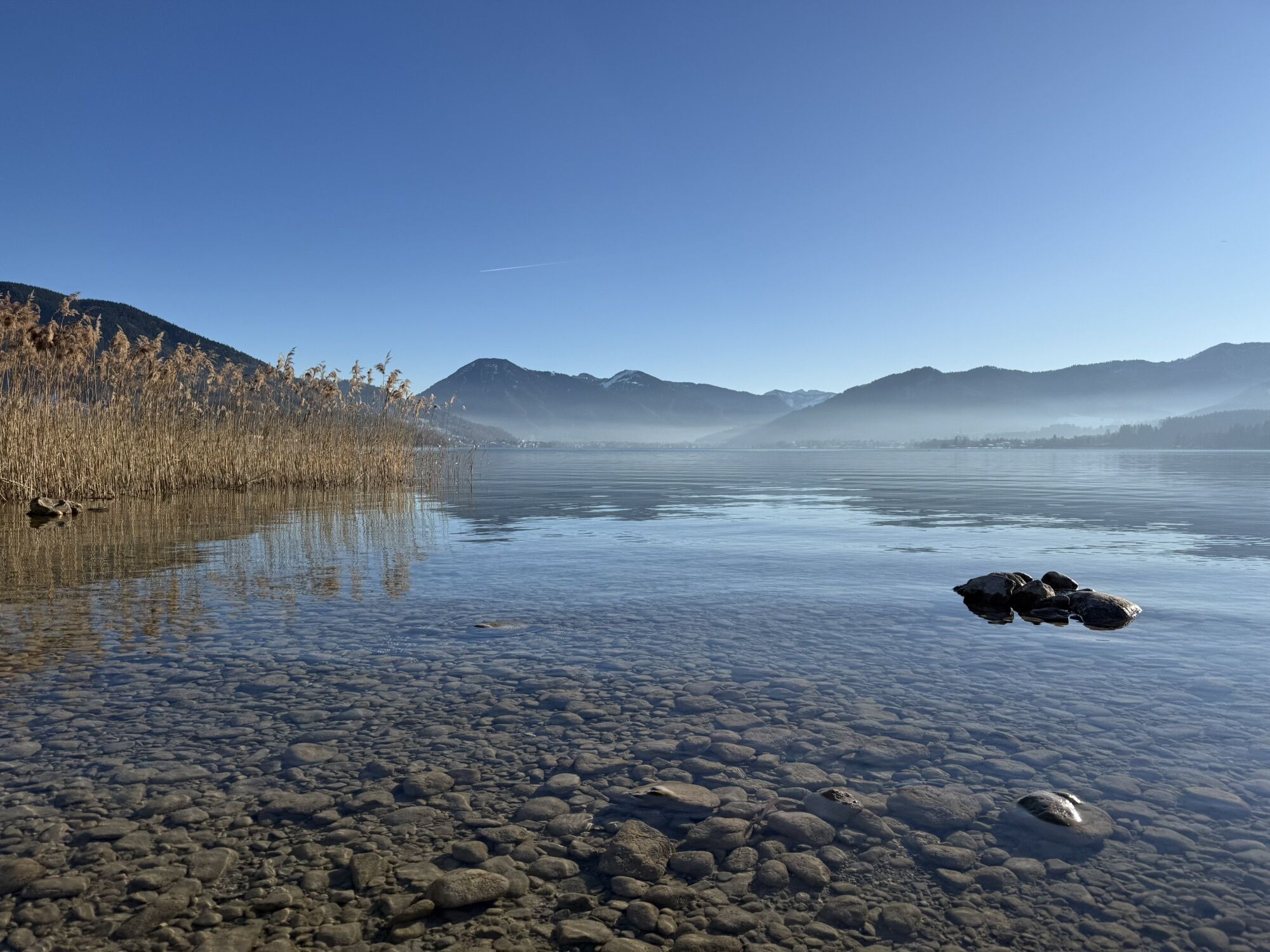
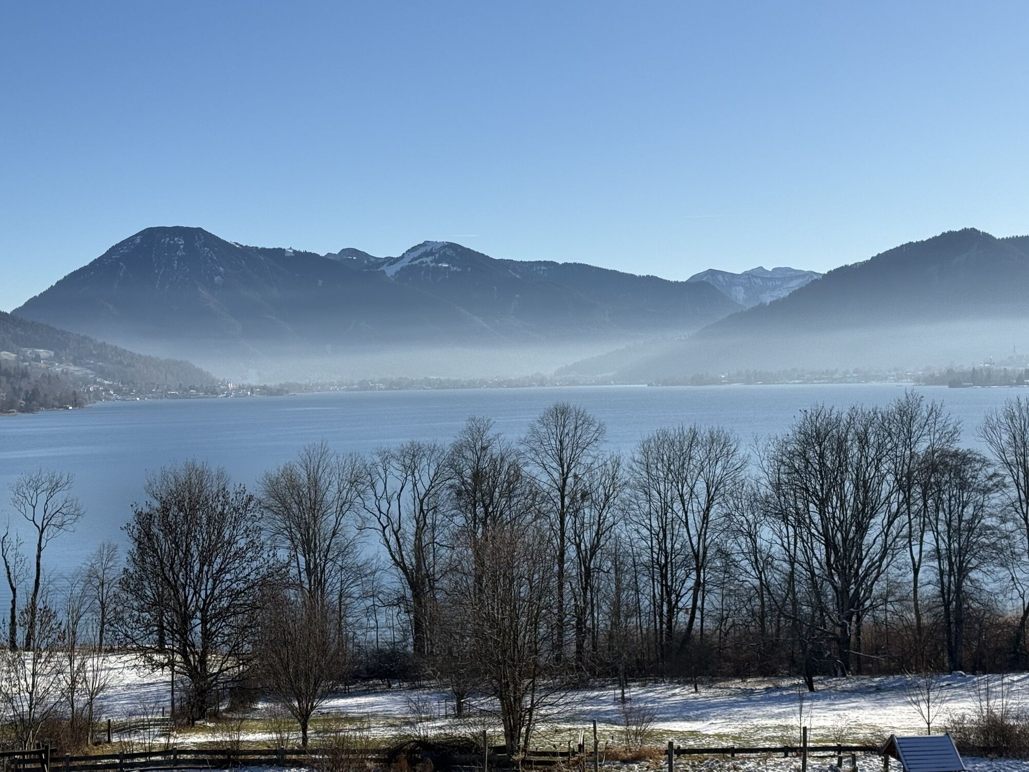
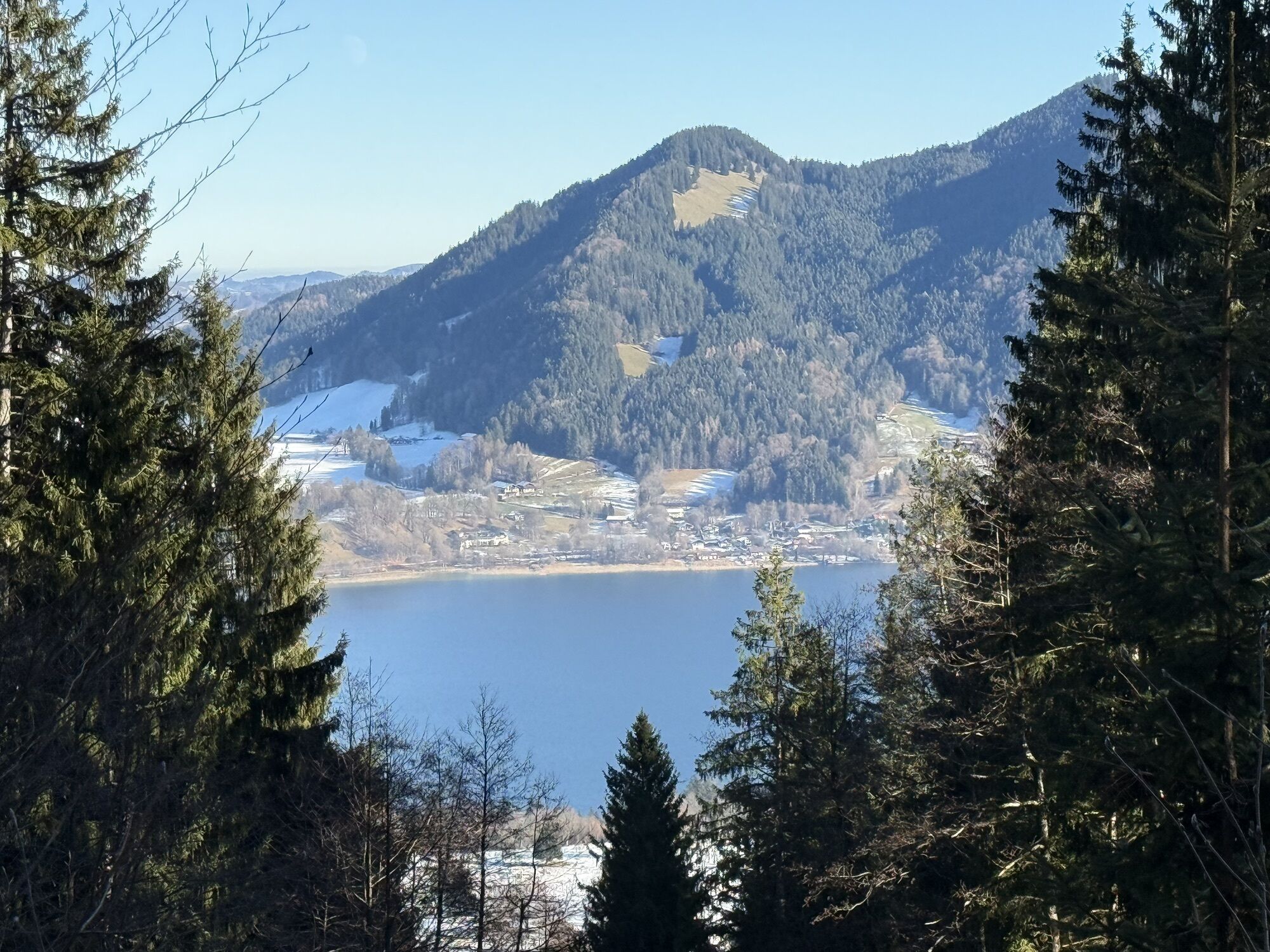
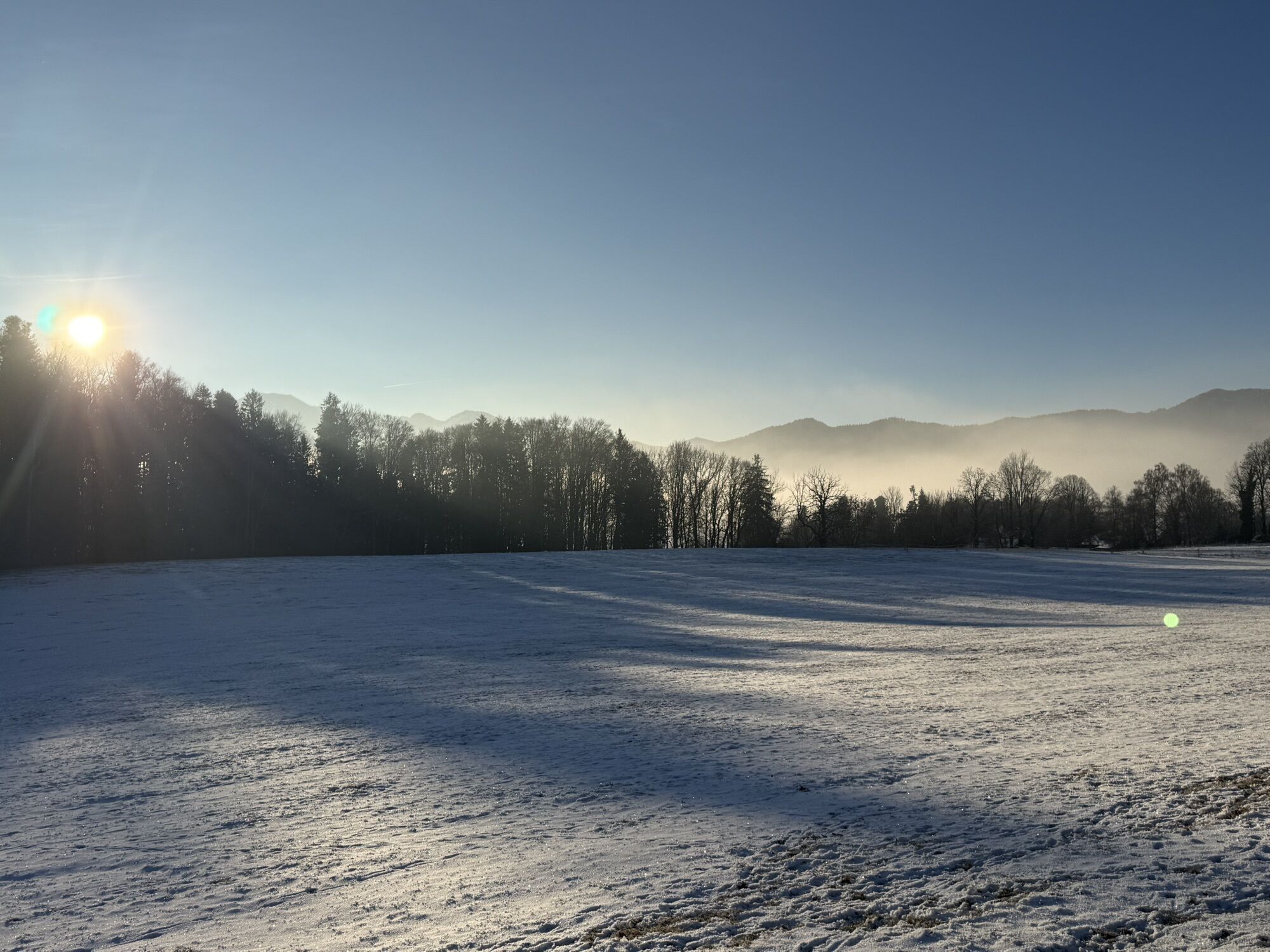
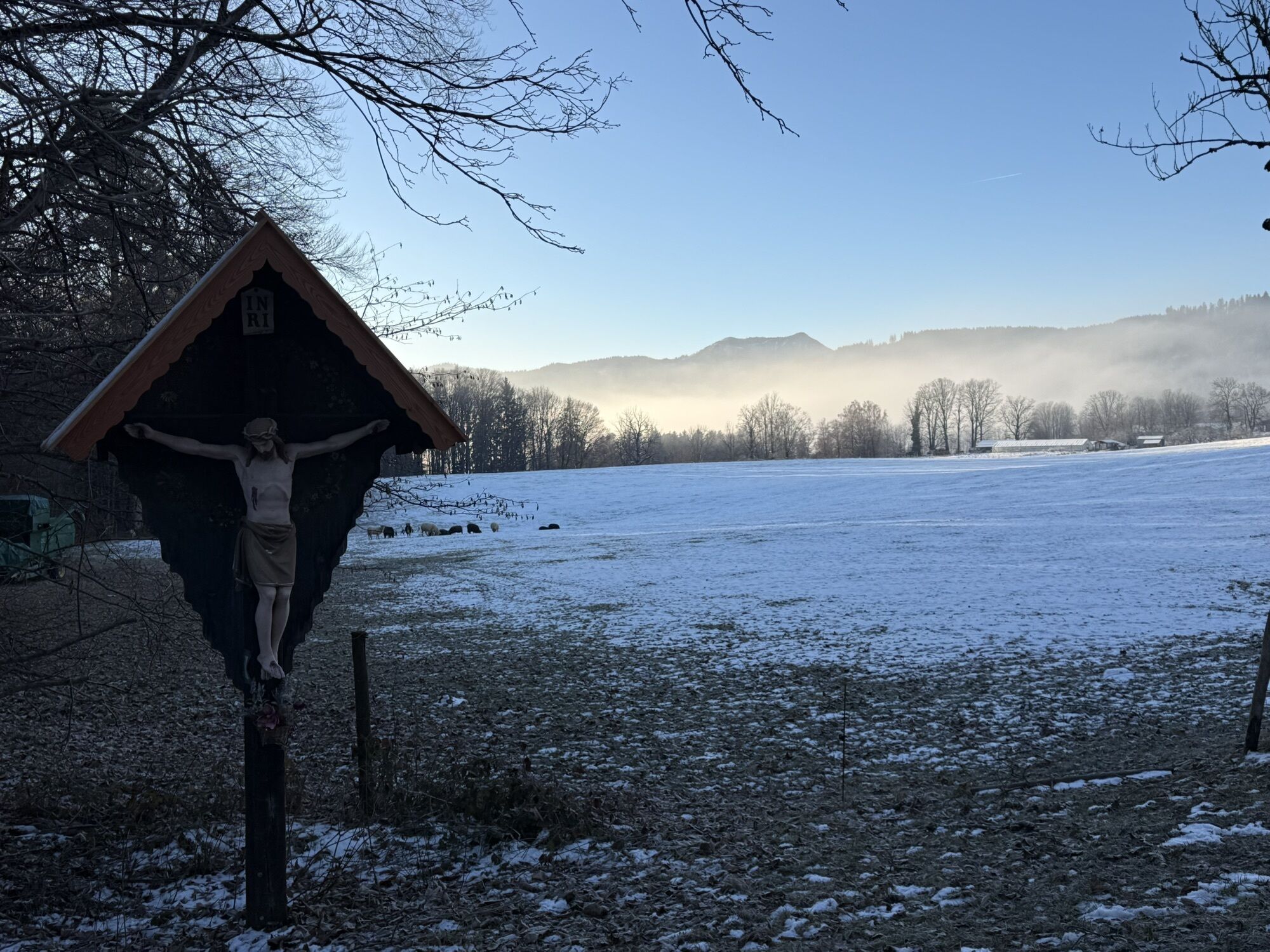
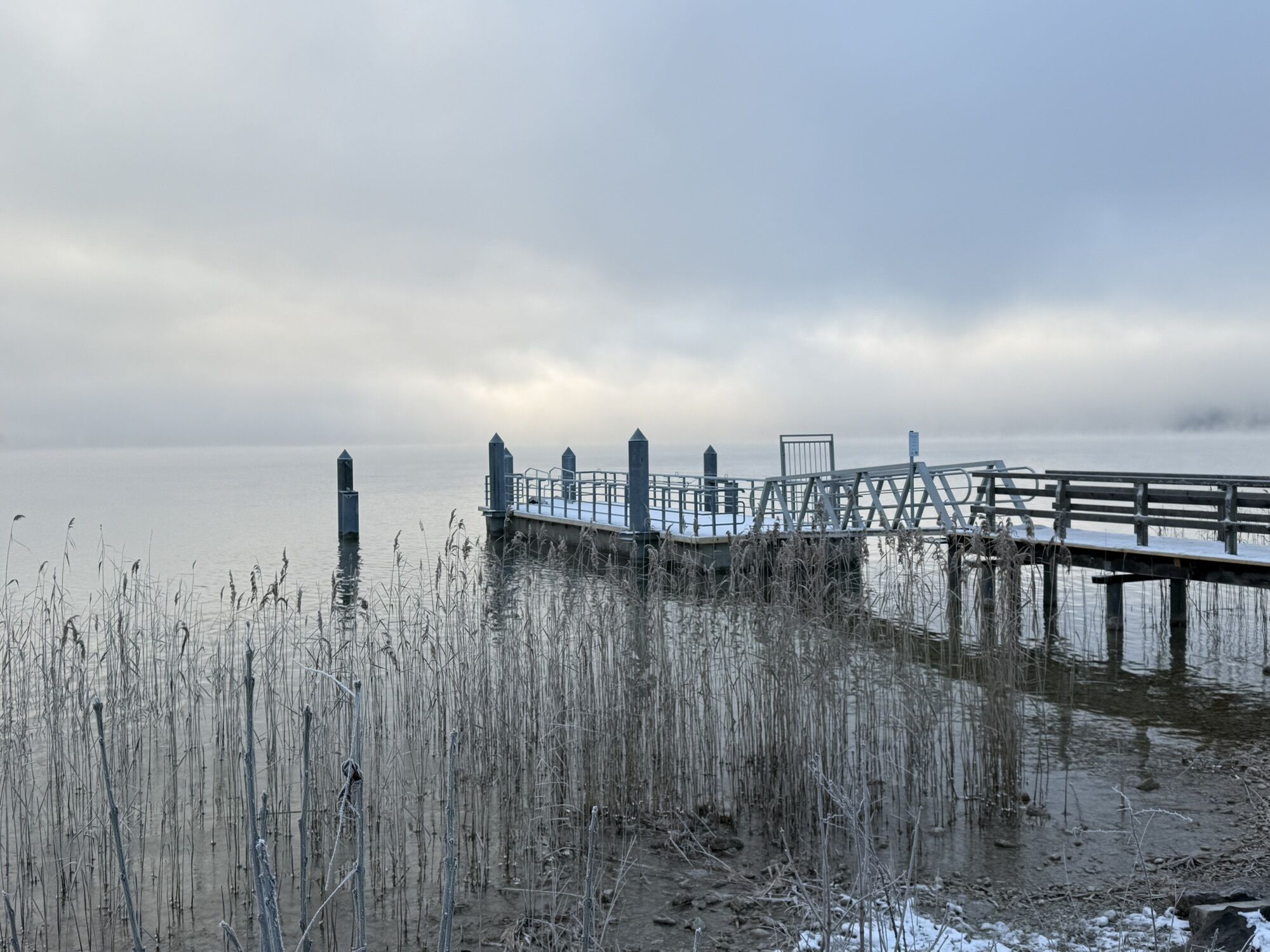
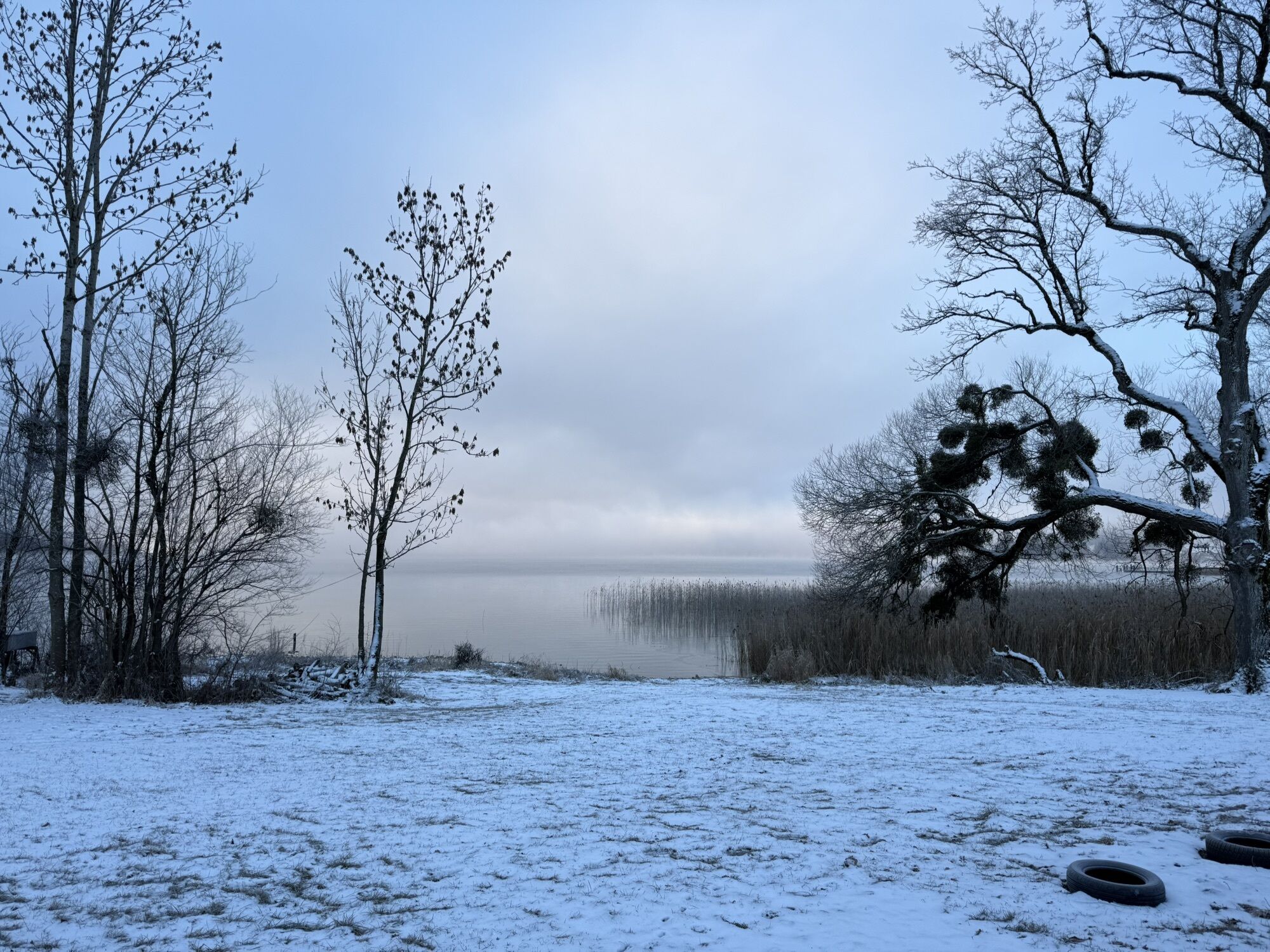
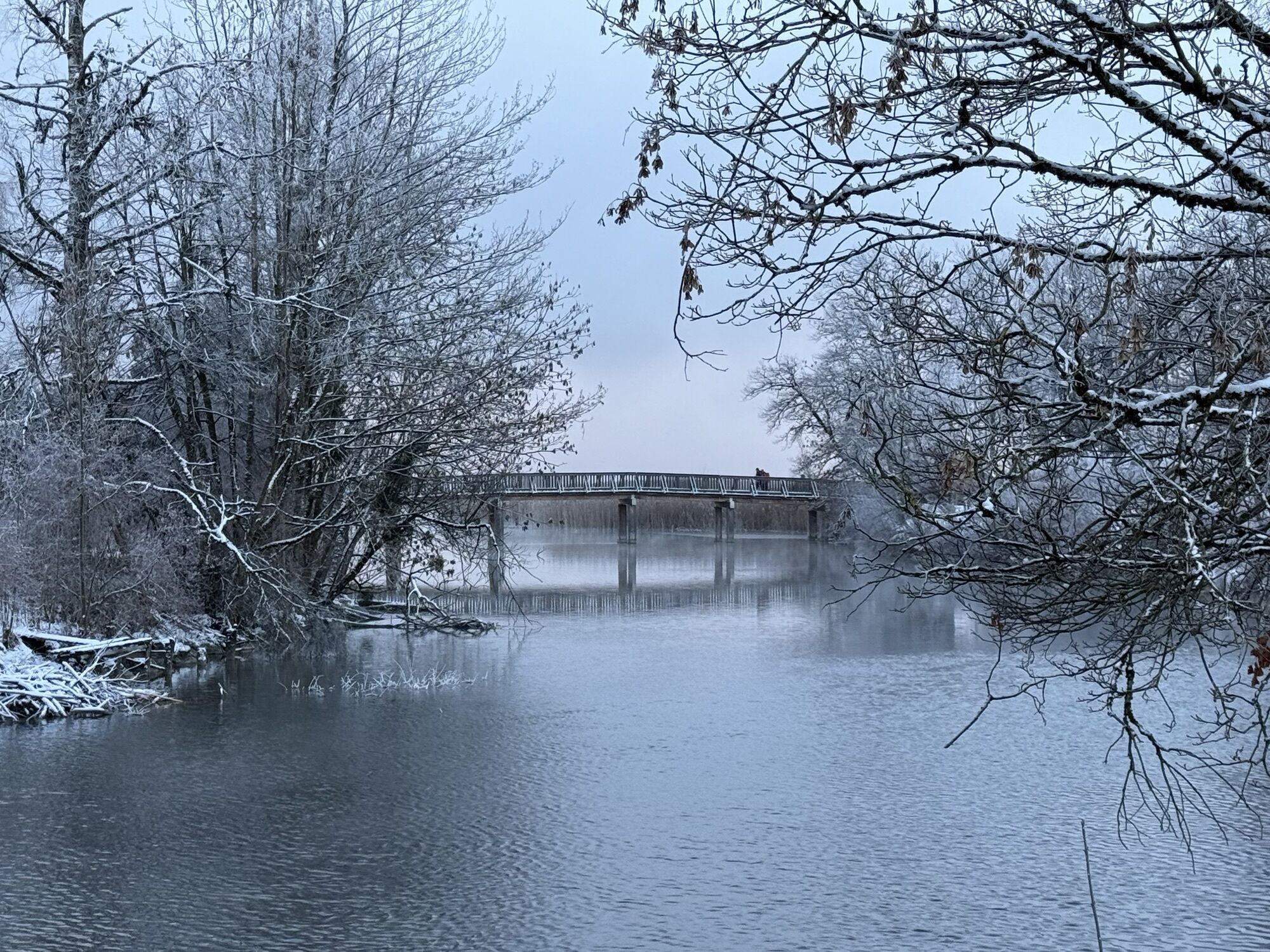
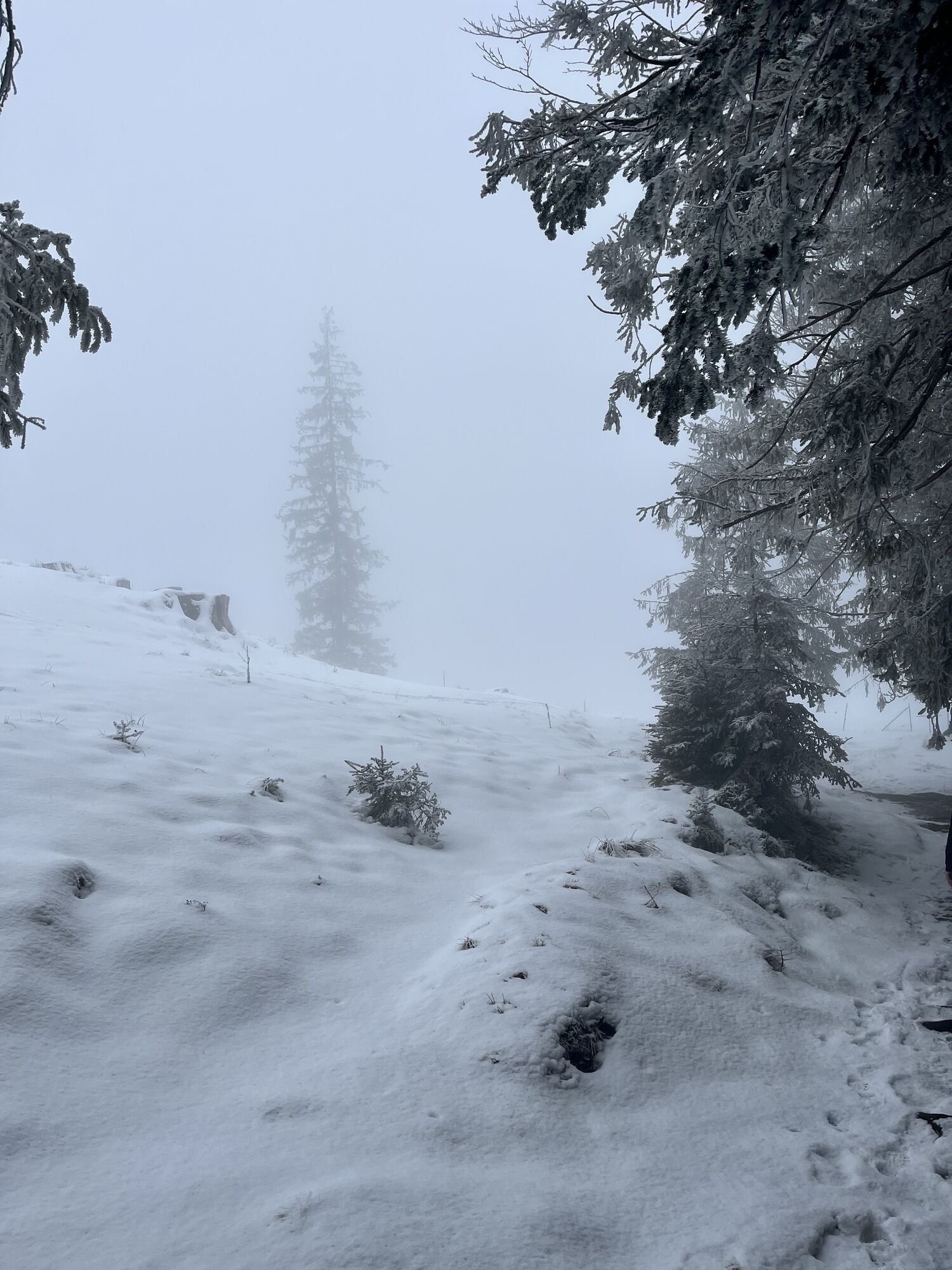
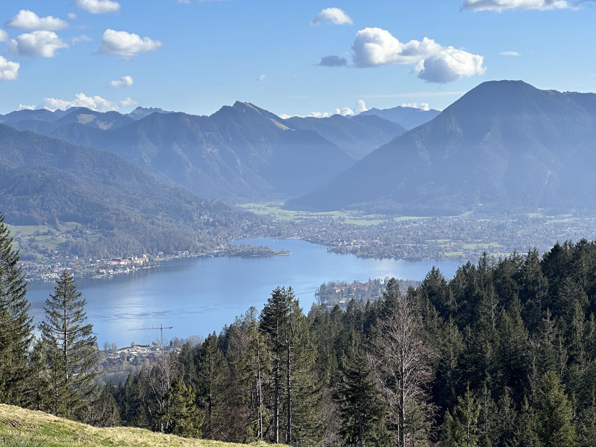

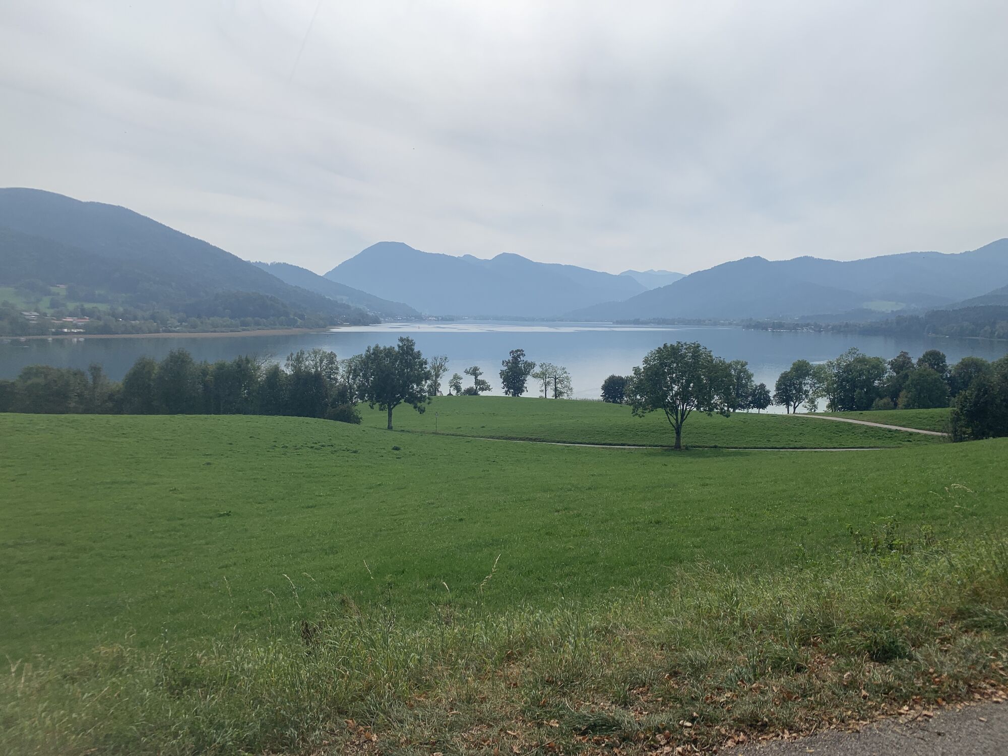
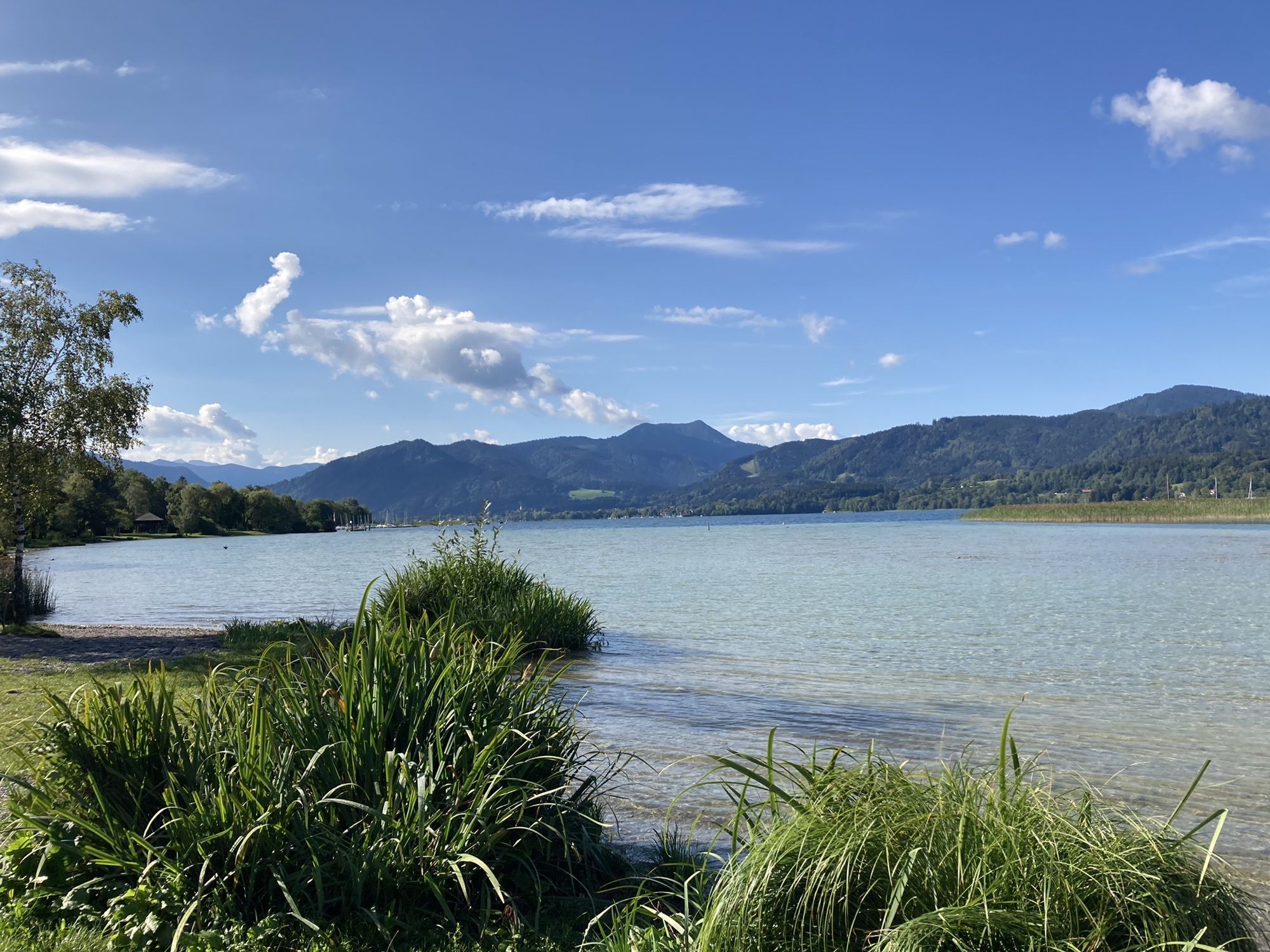

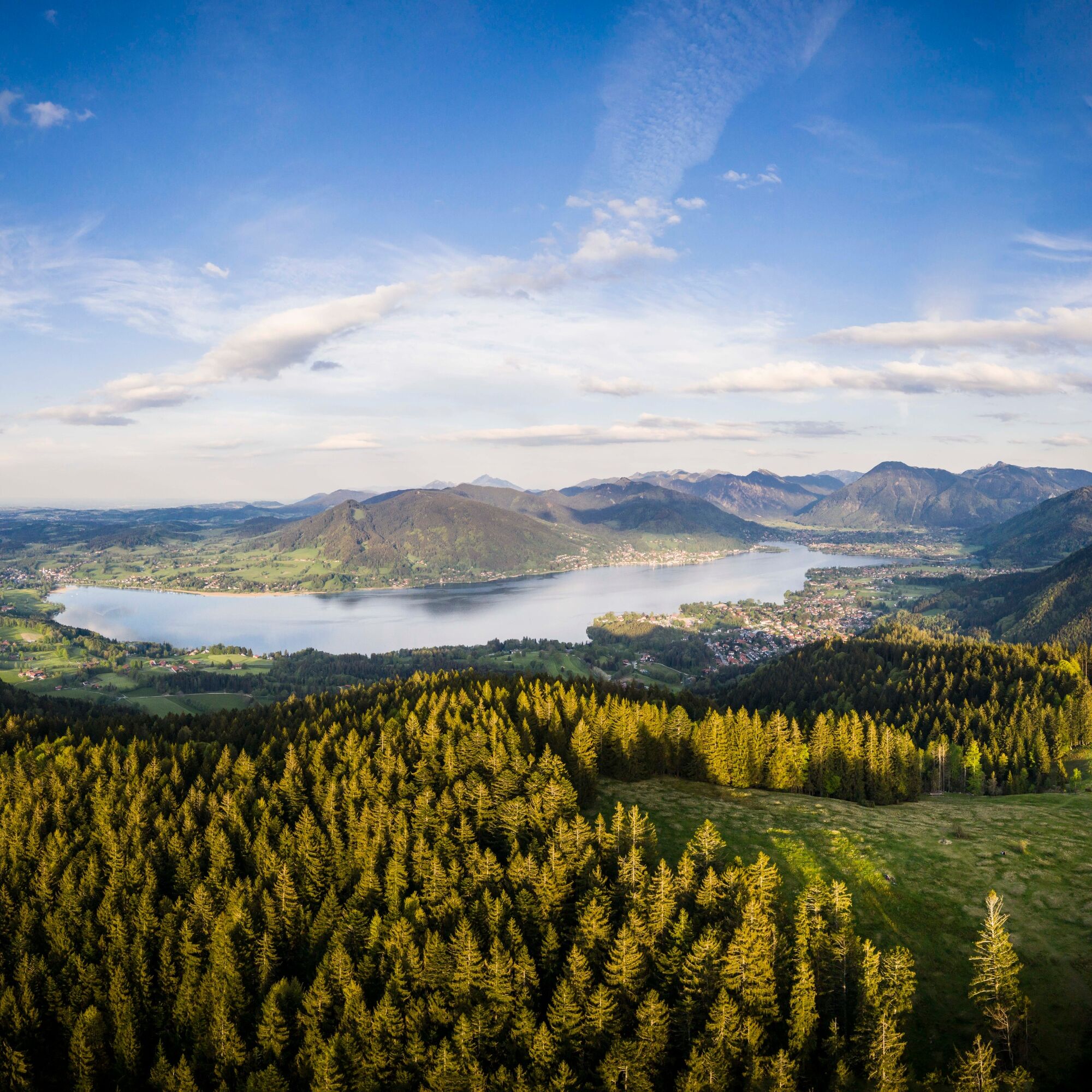
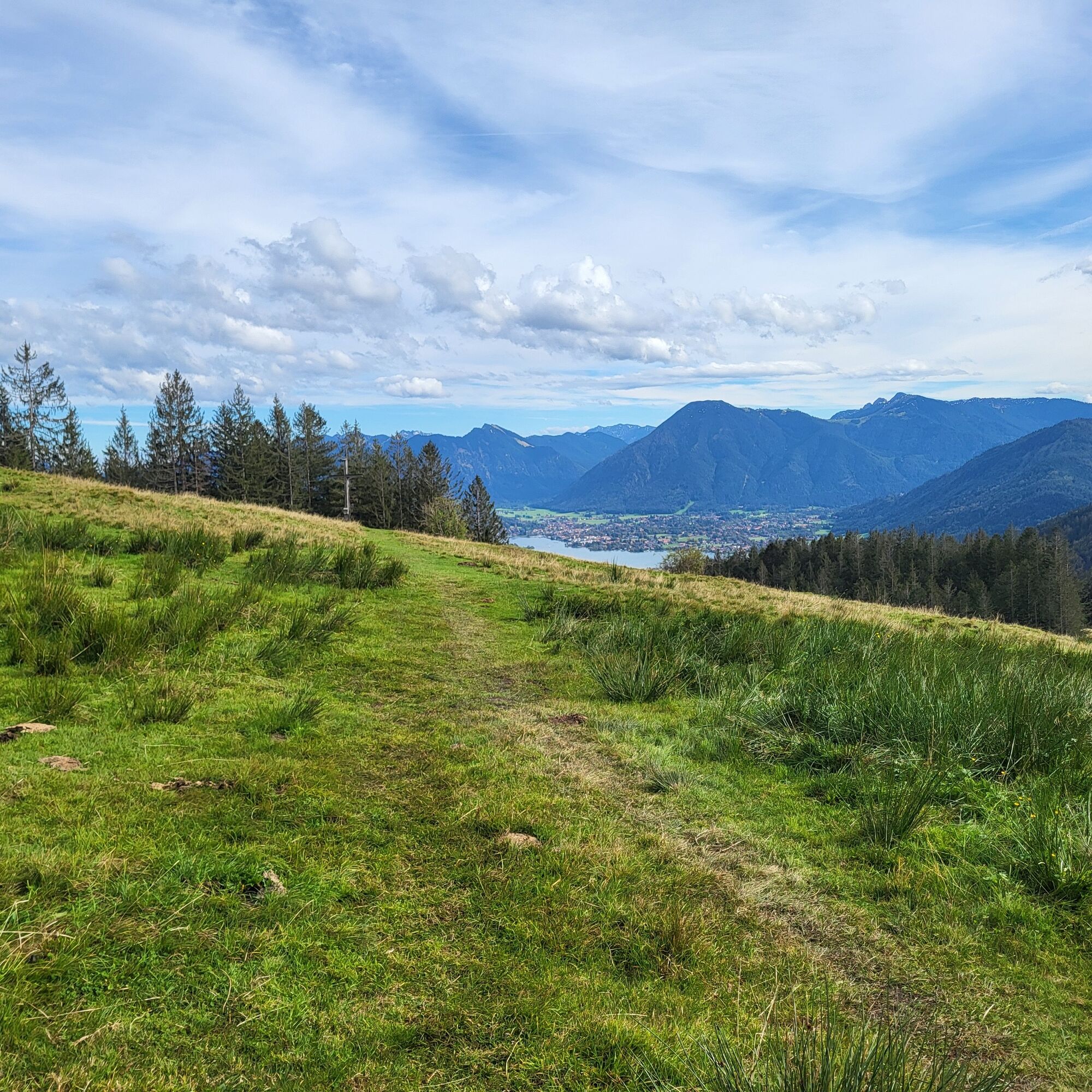
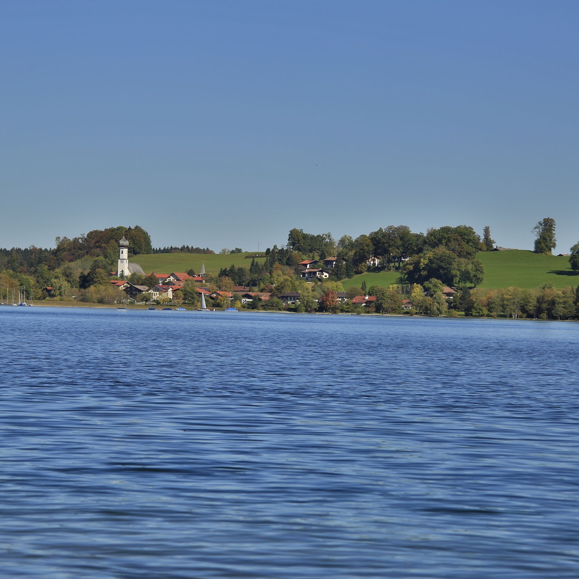
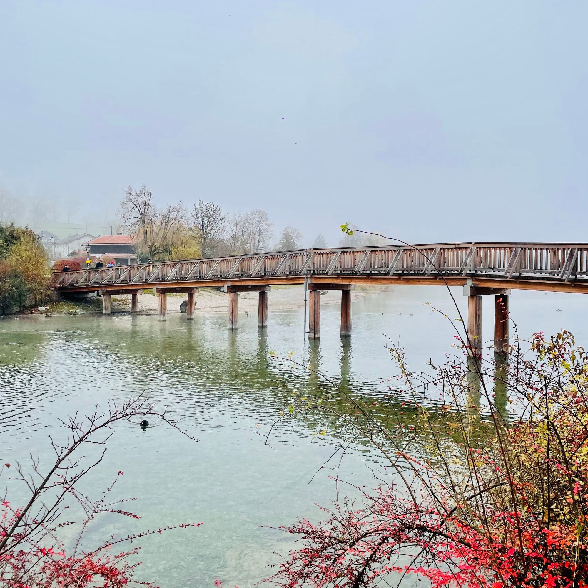
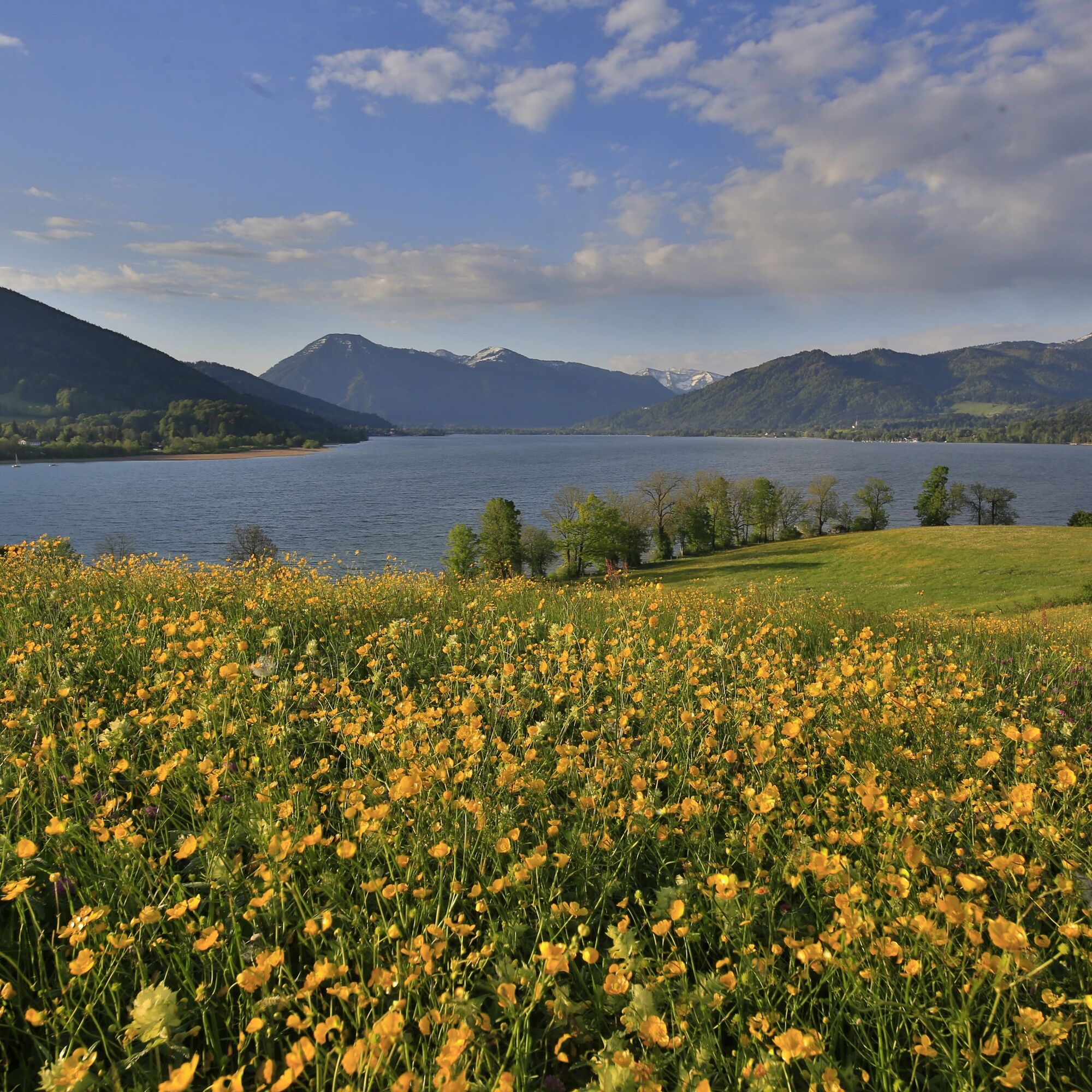
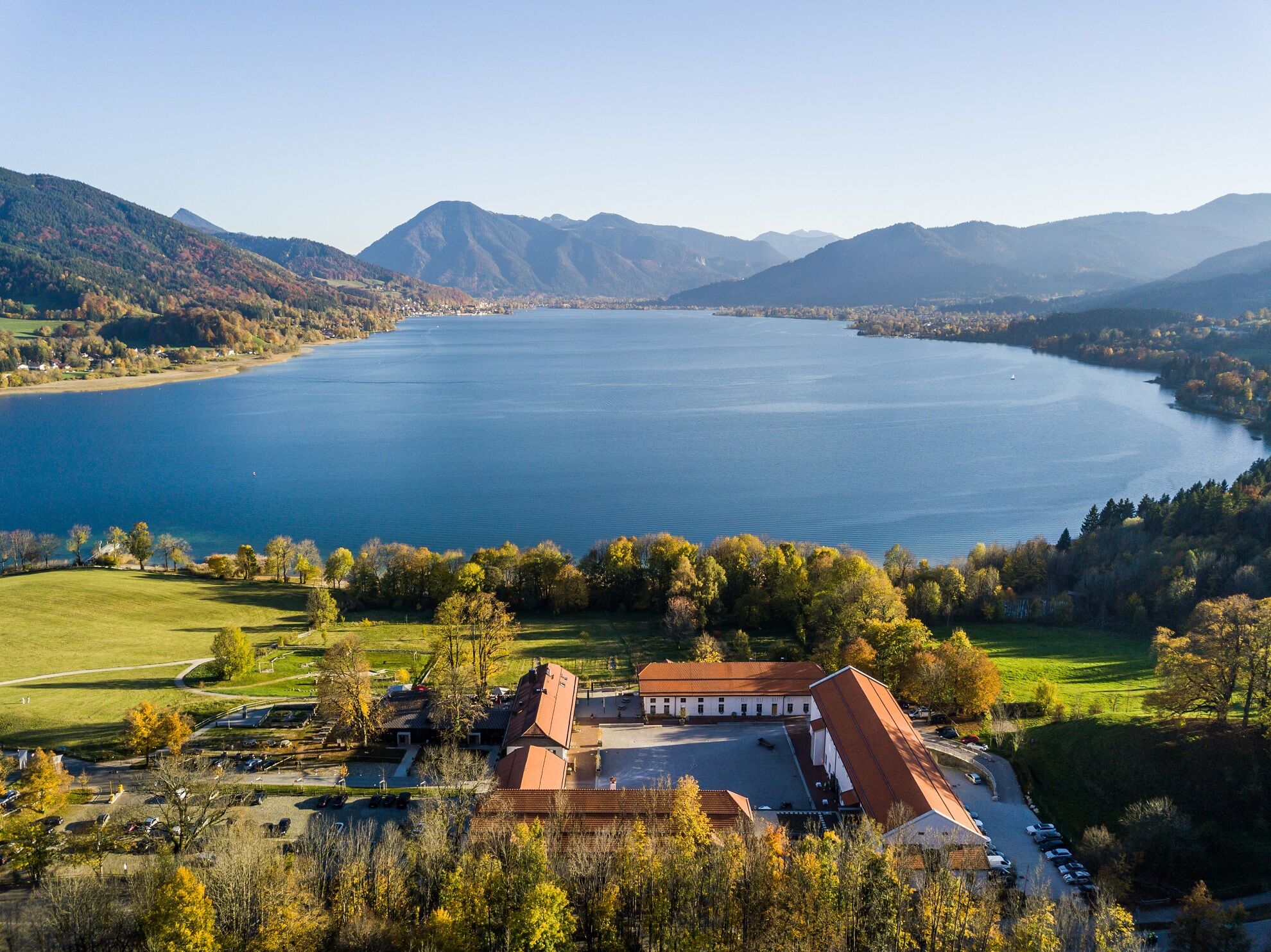
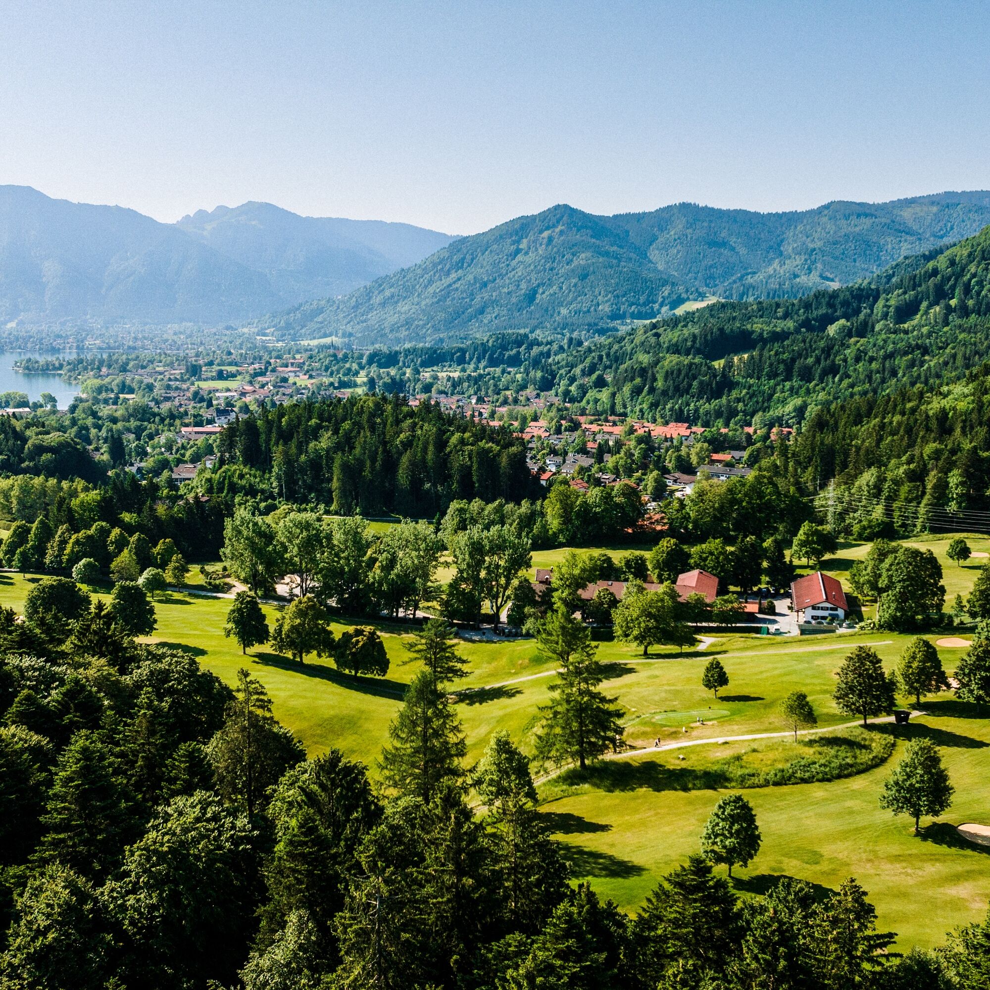
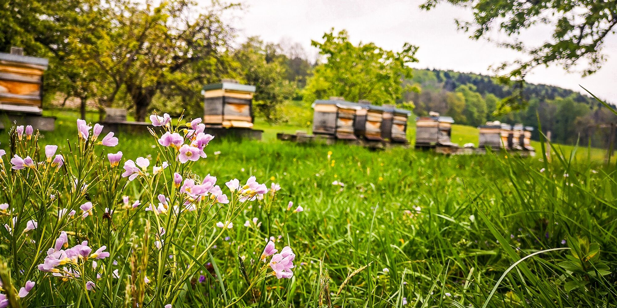

The start of our route is the parking lot at the Volksfestplatz near the Gmund train station. The route follows Max-Obermayer-Straße first down to the Tegernsee, crosses the Mangfall on the lake pier and continues gently uphill to the Gut Kaltenbrunn restaurant (path 520). After crossing the main road, turn left towards Holz until at Baierhof the path to Schneiderhäusl branches off to the right. Once there, keep left again; continue on the shaded, marked path no. 698 through the mountain forest to the alpine pasture of Holzeralm, located at an altitude of 1211 m. Holzeralm has a long history. It was first documented in the 15th century and formerly belonged to the Tegernsee Abbey, later to the Steinberg estate. The building of the alpine pasture was demolished in 2018 and is planned to be rebuilt in the coming years. As a continuation, it is recommended to descend via Winneralm (697) to Breitenbach and Bad Wiessee. From the Tegernsee Golf Course at Rohbogen, with beautiful views, one reaches the starting point in Gmund at Tegernsee again via the elevated path (520).
Sturdy footwear as well as weather-appropriate clothing, possibly a rain jacket, drinking bottle, first aid kit.
All information without guarantee. Walking and cycling on the described routes is at your own risk.
A8 to Holzkirchen exit, via B318 to Gmund
By MVV to Gmund station:
Gmund, parking lot at Volksfestplatz (paid)
Refreshment options are only available at the beginning and end of the route.
Pridobite vpogled
Vedno v živo na mestu z več kot 9.500 spletnimi kamerami. bergfex Kot uporabnik Pro si lahko zdaj ogledate ustrezne spletne kamere za številne izlete v aplikaciji izleti iz. Tako si lahko neposredno ogledate trenutne razmere.
Priljubljeni izleti v okolici
-
4.7
Königsalm
srednjaPohodništvo 10.0 km -
4.7
Alpbach valley and Neureuth
srednjaPohodništvo 12.9 km -
4.6
Summit route to the Wallberg
srednjaPohodništvo 12.2 km -
4.8
Leonhardstein
srednjaPohodništvo 8.17 km -
4.3
Tegernsee Höhenweg - North
svetlobaPohodništvo 12.3 km -
4.8
Lengrieser Hütte
srednjaPohodništvo 10.6 km -
4.6
Roß- and Buchstein, Tegernsee Hut
težkoPohodništvo 14.4 km -
4.6
Brecherspitze
srednjaGorski pohodništvo 14.5 km -
4.6
Brecherspitz-Runde auf dem Normalweg Schliersee, Bayern
srednjaPohodništvo 11.3 km -
4.6
Hirschberg
srednjaGorski pohodništvo 12 km
Pohodništvo in sledenje


Ne zamudite ponudb in navdiha za naslednje počitnice
Vaš e-poštni naslov je bil dodan na poštni seznam.





