






Hike - Ammergau Wiesmahdweg

Stopnja težavnosti: T1
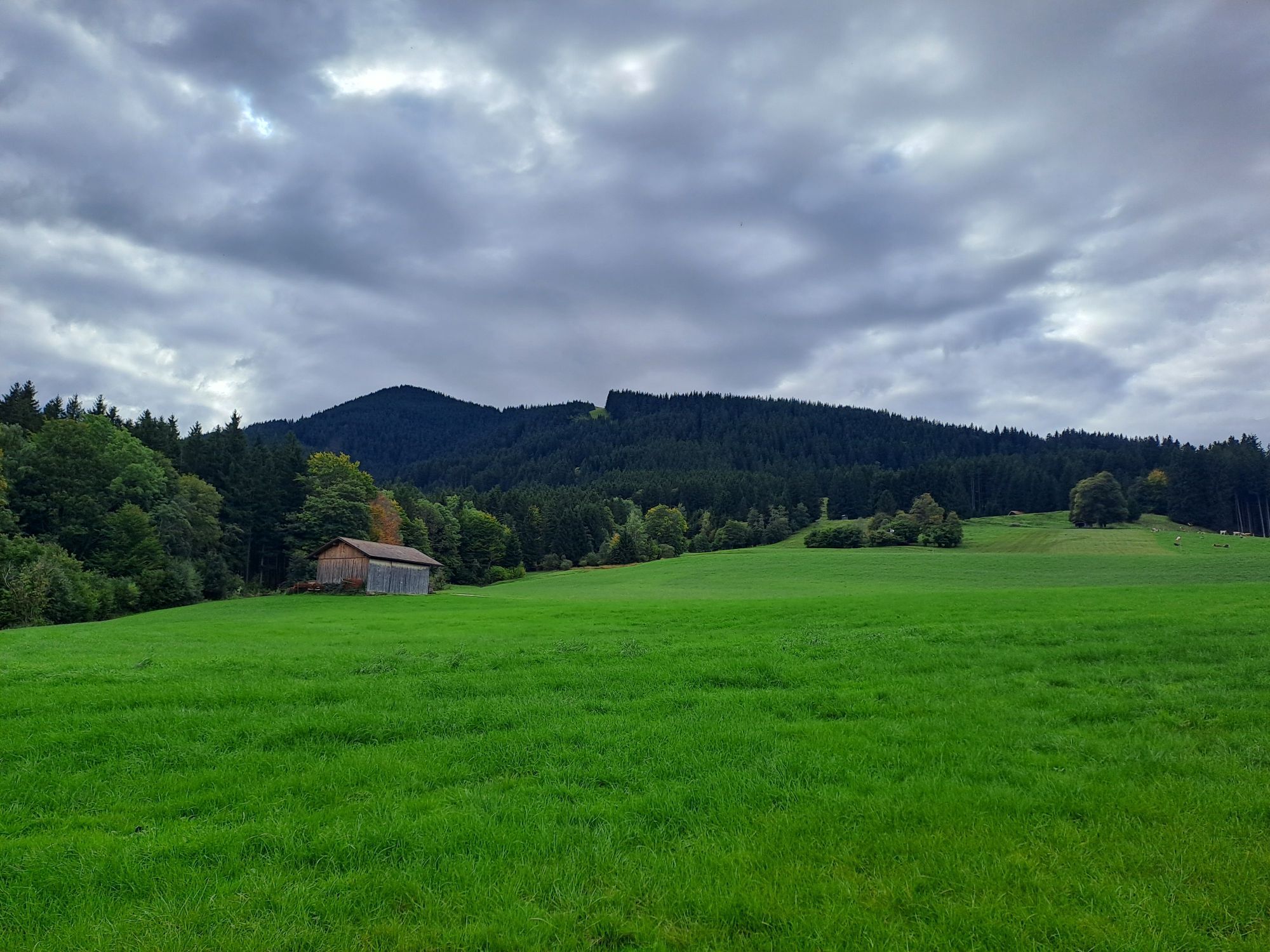
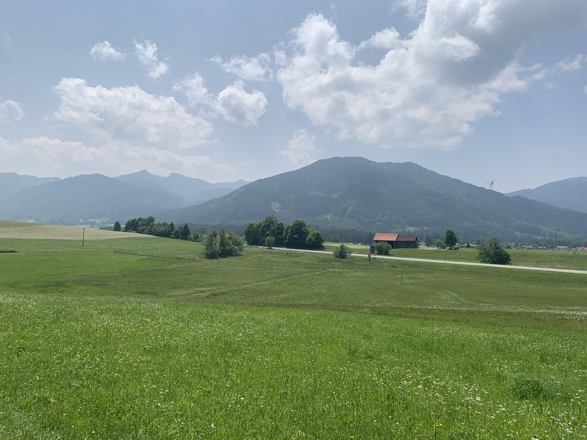
Known and popular for a long time as the Altherrenweg, the hiking trail lies on the sunny side of the Ammer valley. Its continuation at Unterammergau enables a continuous hike between Oberammergau via...
Known and popular for a long time as the Altherrenweg, the hiking trail lies on the sunny side of the Ammer valley. Its continuation at Unterammergau enables a continuous hike between Oberammergau via Bad Kohlgrub to Grafenaschau through the meadows and pastures at the foot of Aufacker and Hörnle.
The hike begins at the WellenBerg in Oberammergau and is continuously marked up to the Parking lot Lindenbach in Grafenaschau.

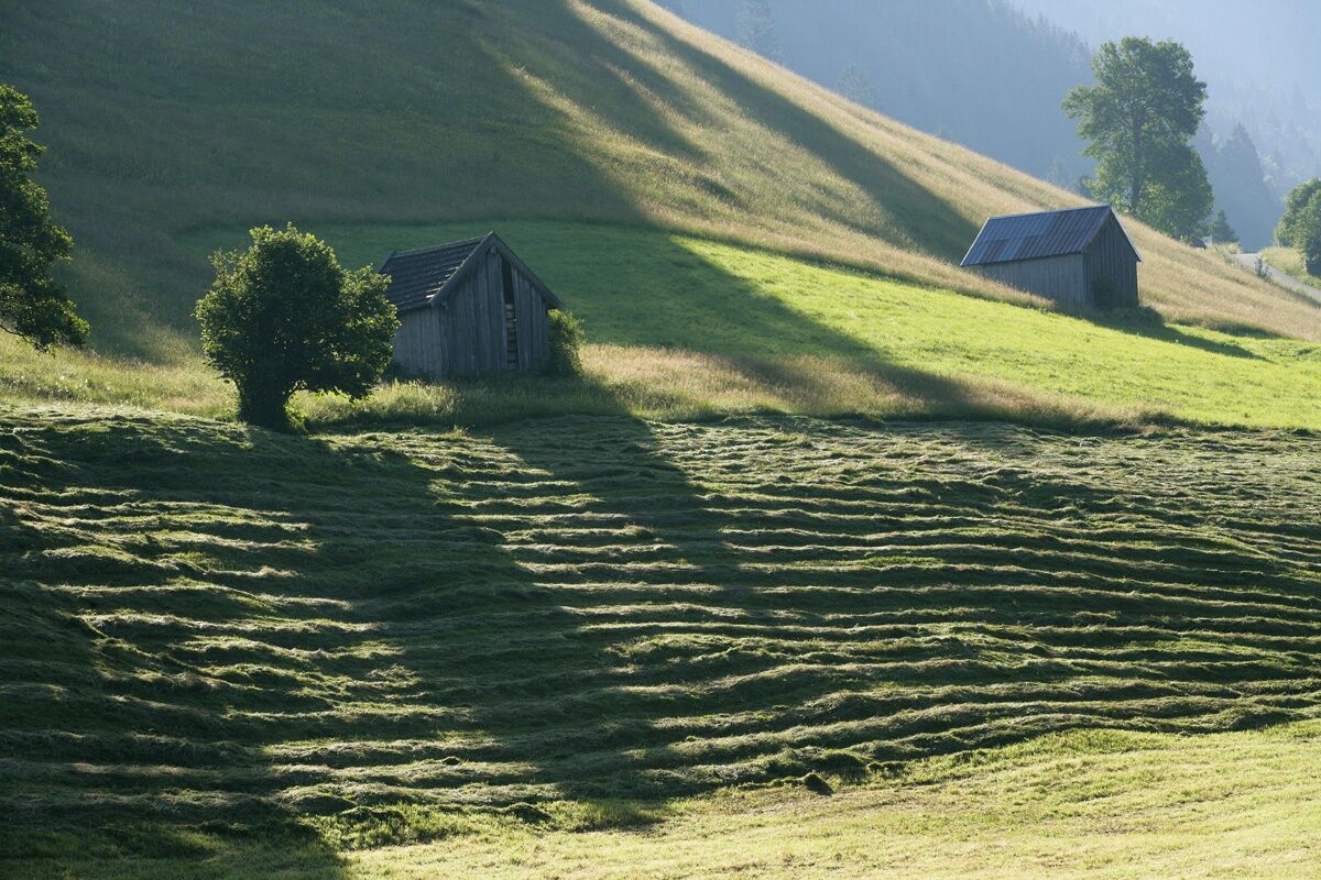
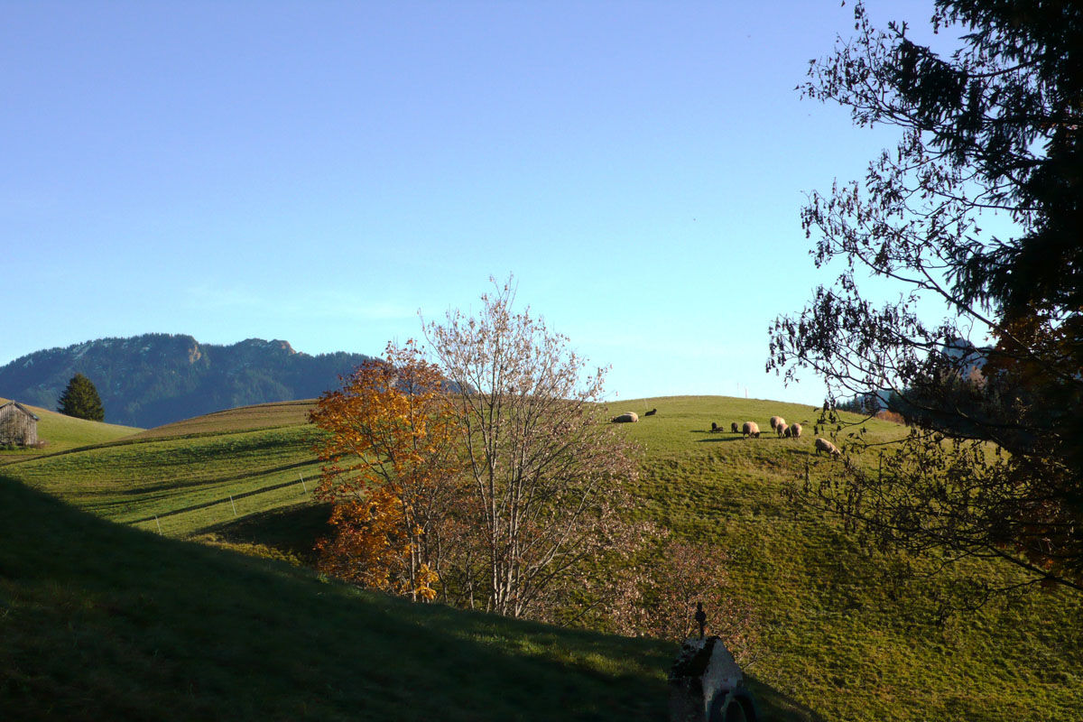
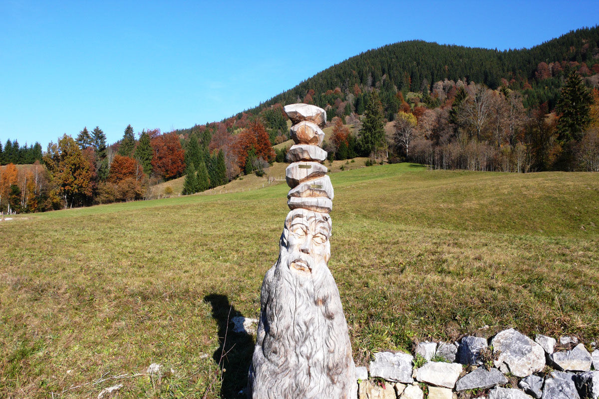

The "Ammergauer Wiesmahdweg" runs at a consistently slightly elevated position above the wide high valley of the Ammer. Wonderful views of the opposite mountain peaks on the Sonnenberg are guaranteed.
The start is at the adventure pool "WellenBerg" in Oberammergau. Those who want to conclude the hike with a refreshing swim should hike in the opposite direction.
At the beginning, the hike follows the "Altherrenweg", ups and downs through meadows and along the forest edge to the scenic Berggasthof Romanshöhe.
From here, you continue below the Grünbichel towards Unterammergau. After about 2 km, turn right towards Hörnle.
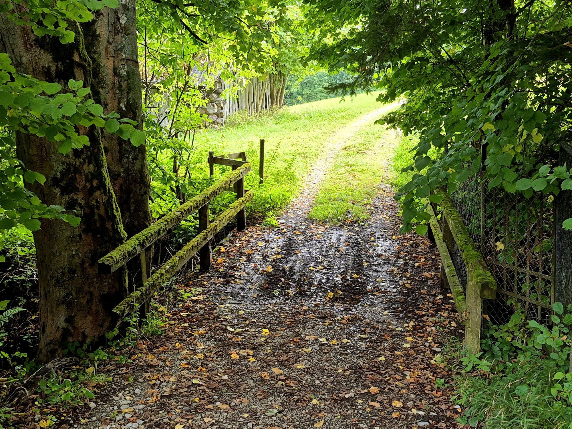
Attention, shortly thereafter you should not miss the turnoff into a forest path on the left! This path leads for a bit along the "Engen Laine" and crosses the brook descending from Hörnle via a bridge. Keeping left, continue the route on the paved "Schaffer-Seppl-Rundweg".
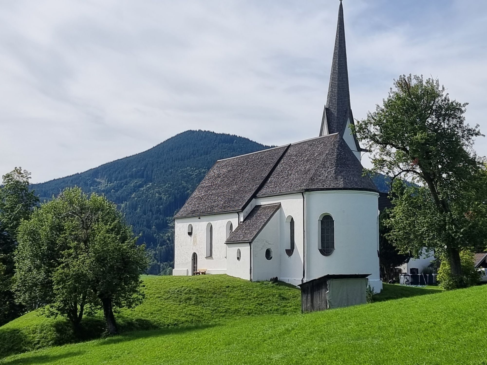
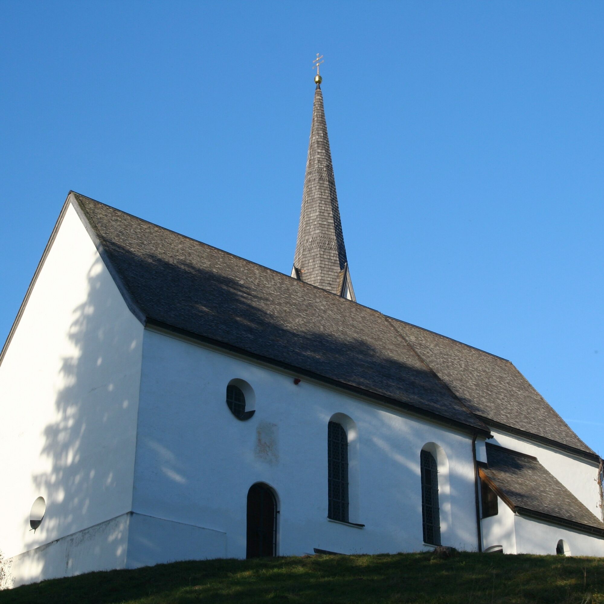
About 300 meters later, after a crossroads, turn sharply right and manage a short ascent to the pilgrimage church Kappel. The small church is a good place to rest and offers a wonderful view.
After the "Kappel", Wurmansau is the next destination. The Wiesmahdweg briefly leads through blooming meadows, then on a comfortable gravel path into the idyllic Saulgruber district.
The history of the village with 200 inhabitants dates back to the Roman era. A route of the "Via Claudia" led from Tyrol through the Ammer valley towards Augsburg. Along this "old Roman road" you soon reach the Aura Hotel, a recognized sanatorium for blind and visually impaired people. Here you turn right and hike over the Enzian meadow and past the votive beech to Kraggenau.
Through the hamlets of Sonnen, you reach the valley station of the Hörnle cable car in Bad Kohlgrub. From here, you can decide whether to take the train back (free for overnight guests of the nature park) to Oberammergau. The extension of the Wiesmahdweg from Bad Kohlgrub to Grafenaschau via Schönau is also highly recommended. Here you hike past the very nicely arranged Wiesmahdstadl.
Da
Welcome to the Nature Park Teststubn! With us, you can extensively test hiking poles, day backpacks, child carriers, and crampons from well-known manufacturers before deciding to buy. Let our team advise you to experience the best possible outdoor adventure. Our Nature Park Teststubn locations can be found at the tourist information offices in Bad Bayersoien and Bad Kohlgrub and at the Drahtesel Rental Lukas Spindler in Oberammergau.
More information: www.ammergauer-alpen.de/teststubn
In case of emergency, please contact the nearest emergency control center. Regardless of your location, you can reach it throughout Germany by dialing 112.
A95, B23 via Ettal to Oberammergau
Bus stop: Oberammergau station or Eugen-Papst-Str.
9606 Garmisch-Partenkirchen - Oberammergau - Wieskirche - Füssen
9622 Oberammergau - Ettal - Linderhof (castle)
Train station: Oberammergau station or Bad Kohlgrub station
Murnau - Oberammergau
Guests of the Ammergau Alps Nature Park can ride the bus for free with the electronic guest card or the KönigsCard.
Parking lot Wellenberg, Oberammergau
large, free alternative parking lot
Parking lot South/Festival grounds
in Grafenaschau
Parking lot Lindenbach
T1
Along the Wiesmahdweg there are several places to stop for food and drink, such as the Berggasthof Romanshöhe near Oberammergau, the Ammertaler Hof in Wurmansau, or the Guggenberg Alm in Bad Kohlgrub.
Spletne kamere s turneje


Priljubljeni izleti v okolici
- 4.4
Kuhfluchtwasserfälle
srednjaPohodništvo 1.32 km - 4.7
Mountain route - Laber via Soilasee
svetlobaPohodništvo 11.8 km - 4.6
Mountain route - Teufelstättkopf
srednjaPohodništvo 10.8 km - 4.8
Schafkopf
svetlobaPohodništvo 10.2 km - 4.2
Mountain tour - Kofel
srednjaPohodništvo 11.3 km - 4.7
Murnauer Moos
svetlobaPohodništvo 11.5 km - 4.6
Laber - Ettaler Mandl
svetlobaPohodništvo 9.10 km - 4.1
Hut hike - Hörnle Hut
svetlobaPohodništvo 6.20 km - 4.6
Mountain route - Hörnle round
svetlobaPohodništvo 10.8 km - 4.6
Osterfeuerkopf
srednjaGorski pohodništvo 6.40 km
Pohodništvo in sledenje


Ne zamudite ponudb in navdiha za naslednje počitnice
Vaš e-poštni naslov je bil dodan na poštni seznam.





