


Historical and nature hiking trail to the Hohenwaldeck ruins
Stopnja težavnosti: T1


Fotografije naših uporabnikov
 © Stefan SchranUstvarjeno na 05.04.2025
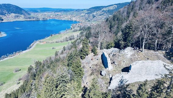 © Stefan SchranUstvarjeno na 05.04.2025
 © Stefan SchranUstvarjeno na 05.04.2025
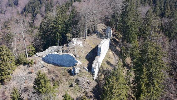 © Stefan SchranUstvarjeno na 05.04.2025
 © Stefan SchranUstvarjeno na 05.04.2025
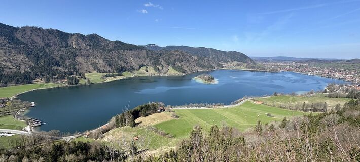 © Stefan SchranUstvarjeno na 05.04.2025
 © Stefan SchranUstvarjeno na 05.04.2025
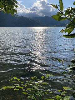
 © Sven KrieblinUstvarjeno na 02.06.2024
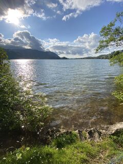 © Sven KrieblinUstvarjeno na 02.06.2024
 © Sven KrieblinUstvarjeno na 02.06.2024
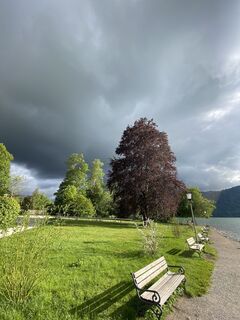 © Sven KrieblinUstvarjeno na 02.06.2024
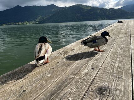 © Sven KrieblinUstvarjeno na 02.06.2024
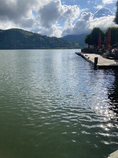 © Sven KrieblinUstvarjeno na 02.06.2024

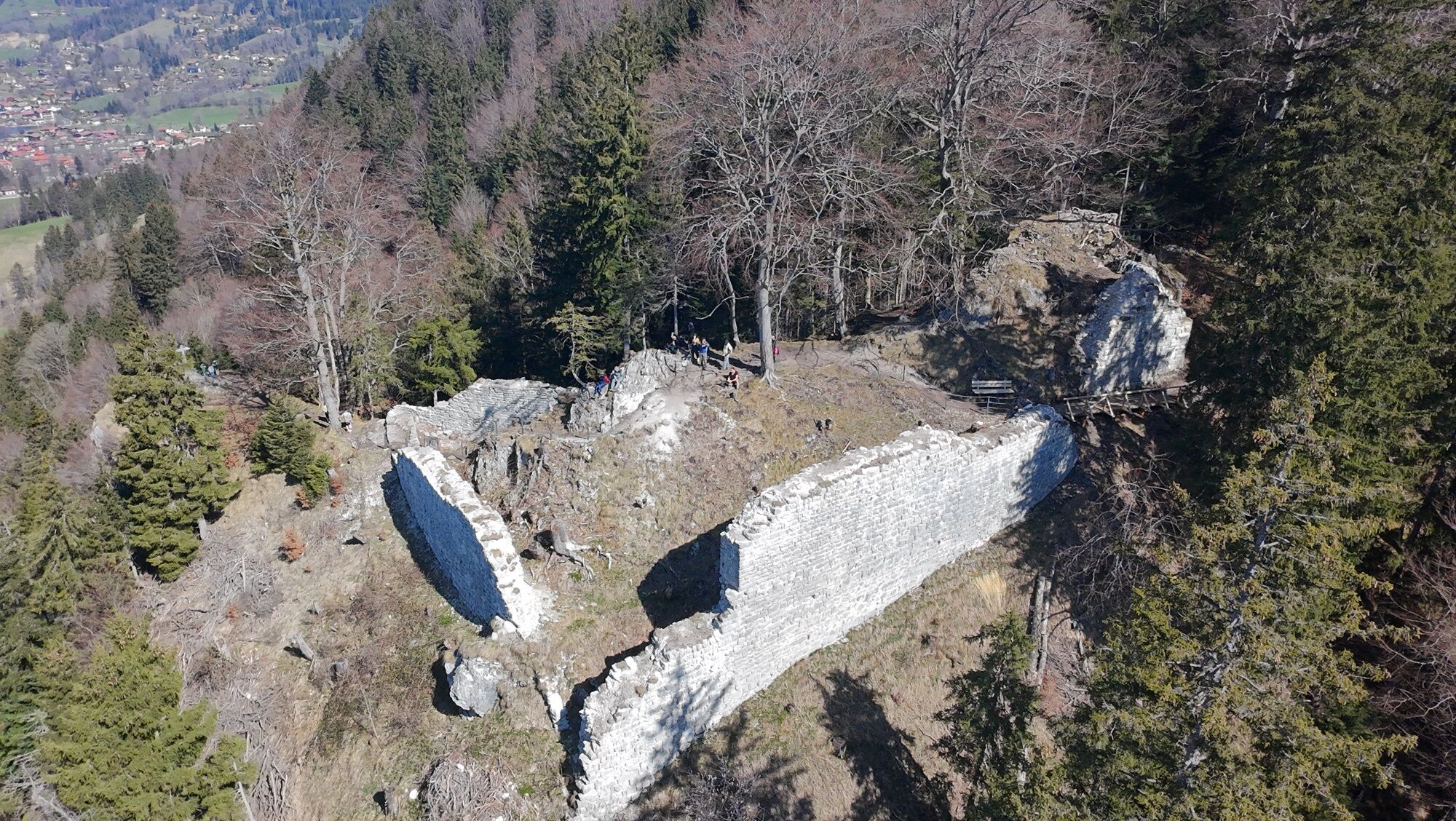


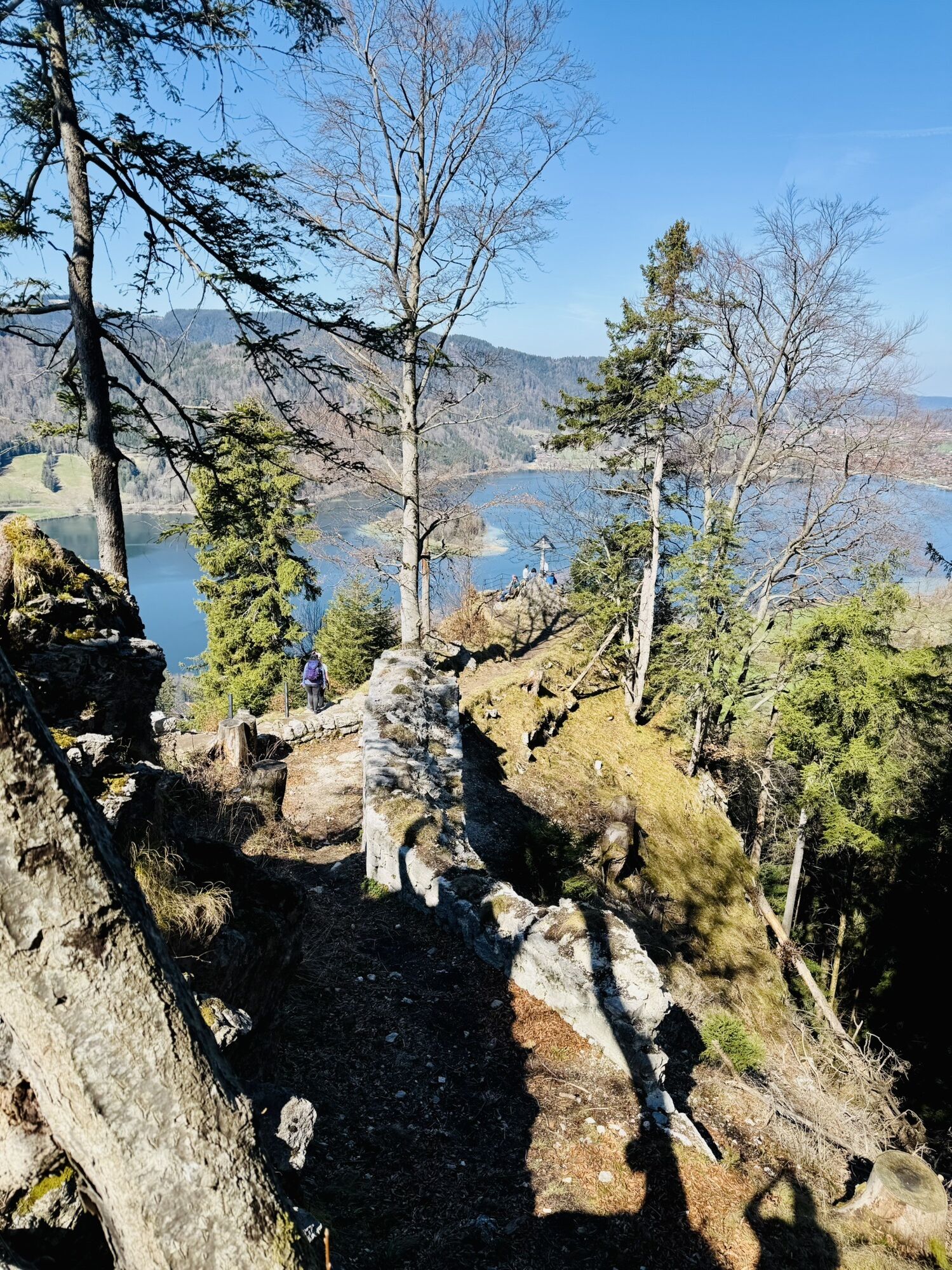


Numerous secrets and legends surround the ruins of Hohenwaldeck Castle above Fischhausen and Schliersee: Is there really a treasure up there? Why was the castle suddenly abandoned in the 15th century?...
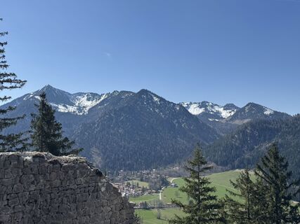
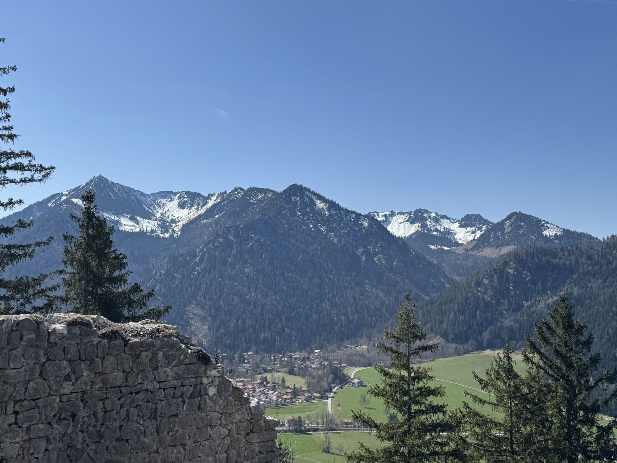
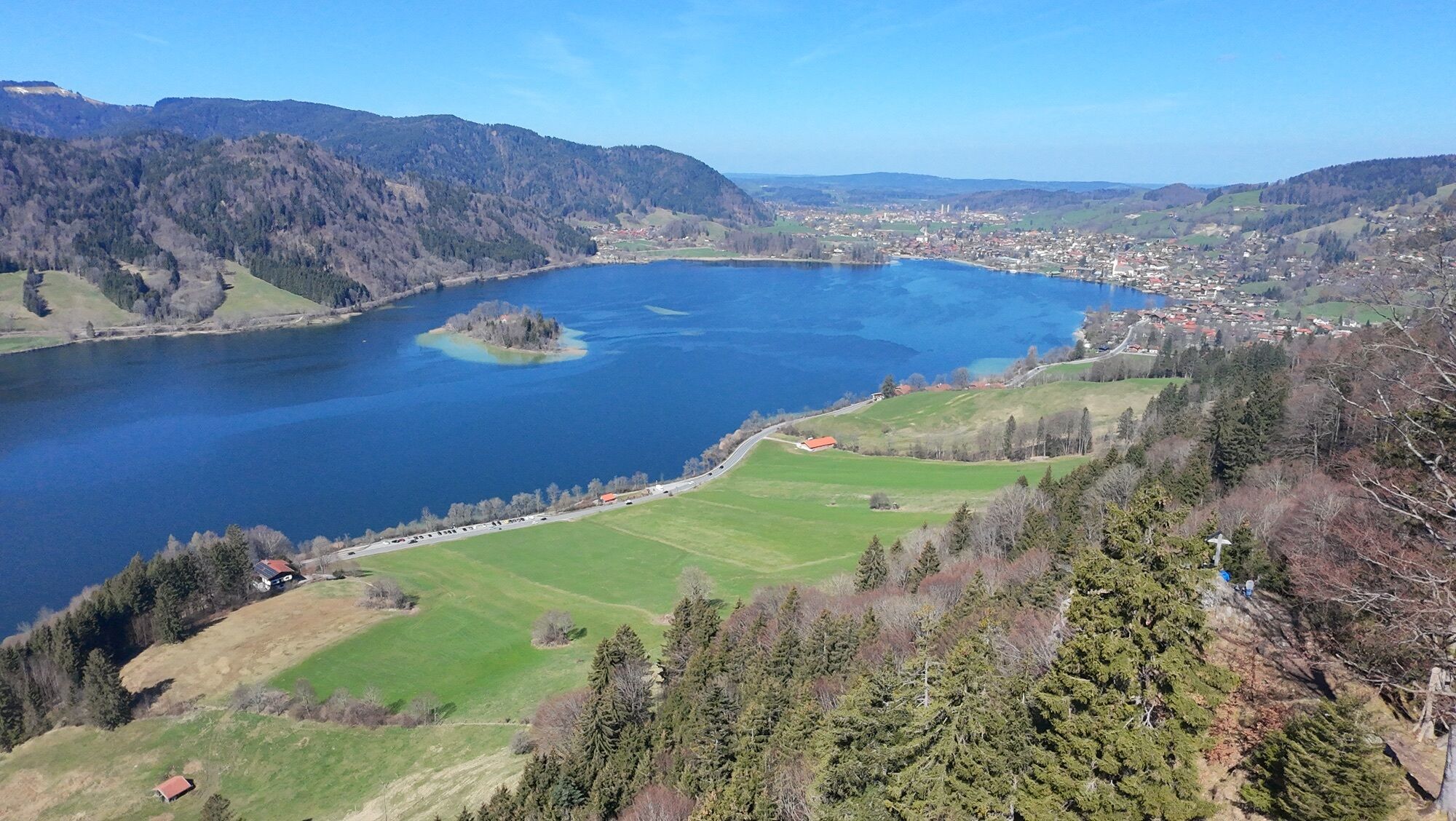
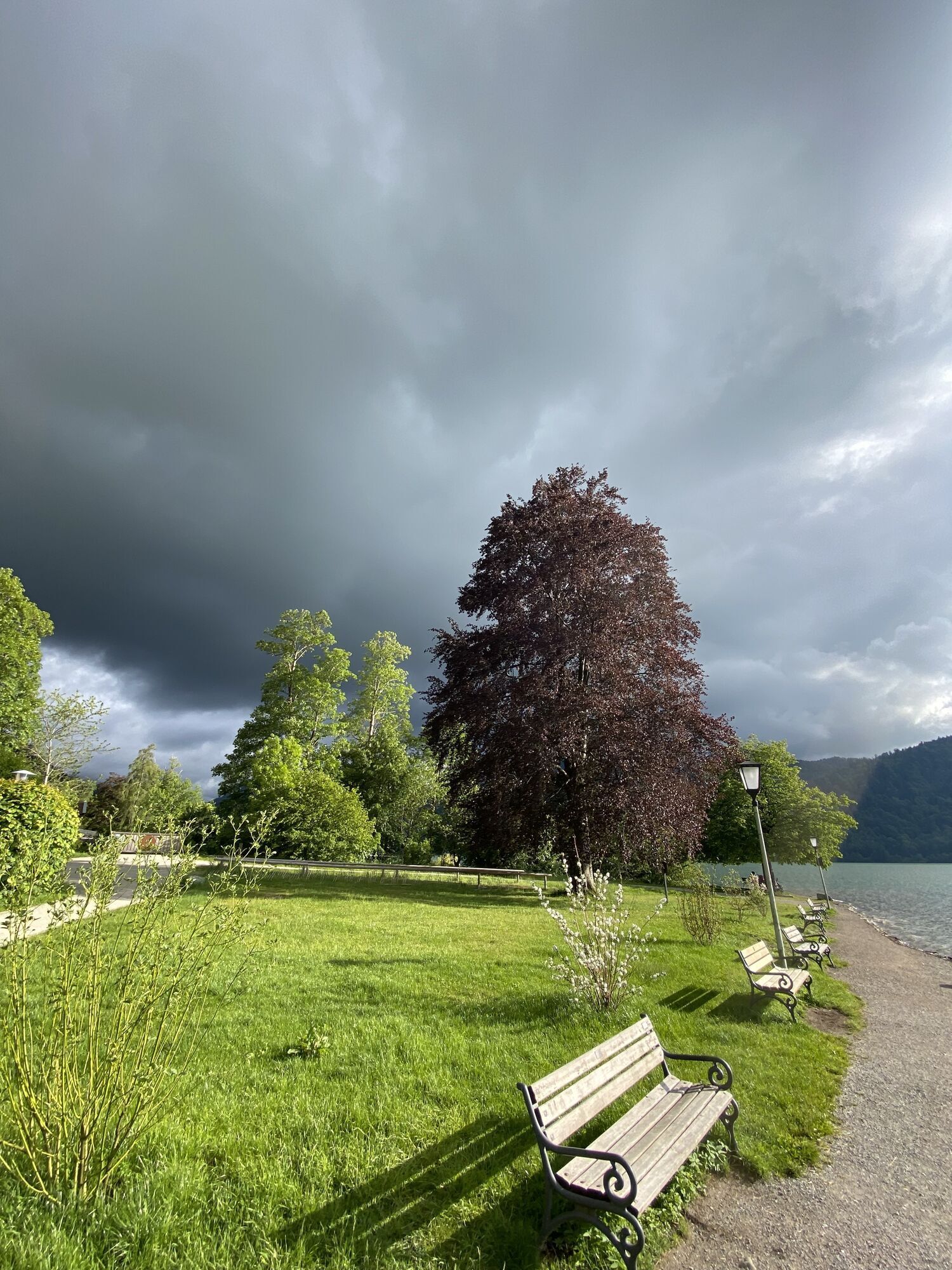
Numerous secrets and legends surround the ruins of Hohenwaldeck Castle above Fischhausen and Schliersee: Is there really a treasure up there? Why was the castle suddenly abandoned in the 15th century? And what's the story behind the castle ghost? Enough reason to climb up to the ruins yourself. Additionally, a historical and nature hiking trail to the Hohenwaldeck ruins has recently been opened on the direct ascent from Fischhausen. On numerous information boards, you can learn a lot about the ruins, the region, and the local flora and fauna - boredom excluded! The 200 meters of elevation and approx. 30 minutes of walking time will fly by, and once at the top, you will be rewarded with probably the most beautiful view of Schliersee for your effort.

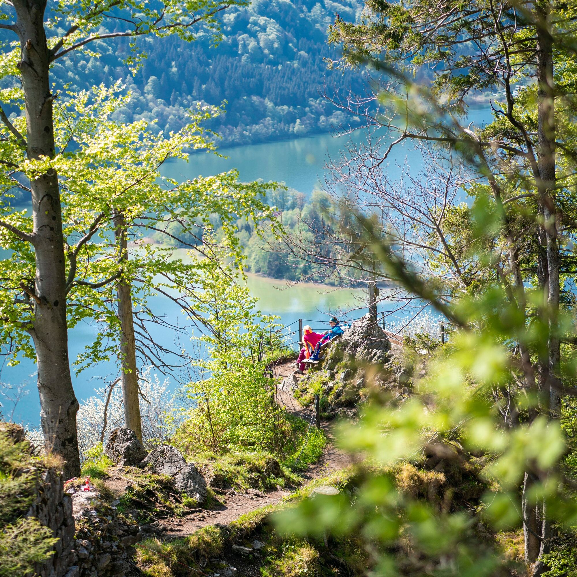
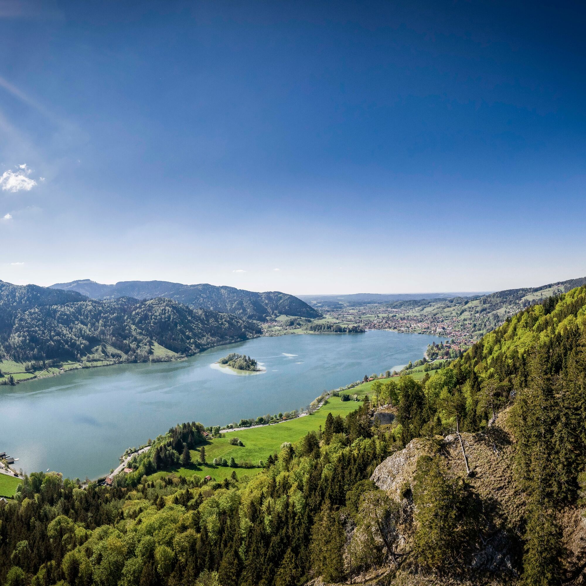
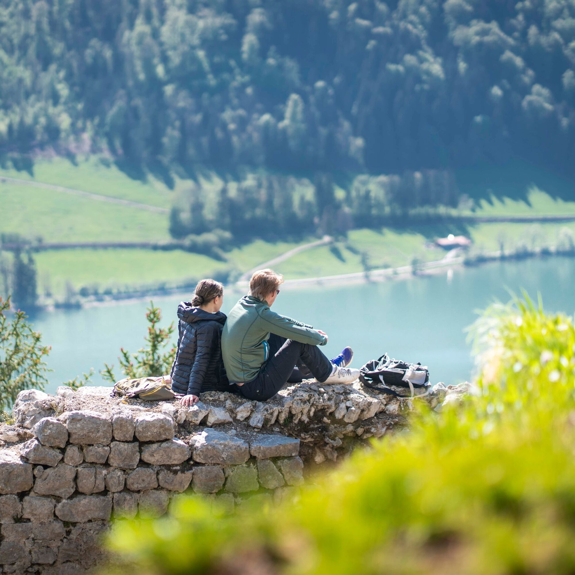
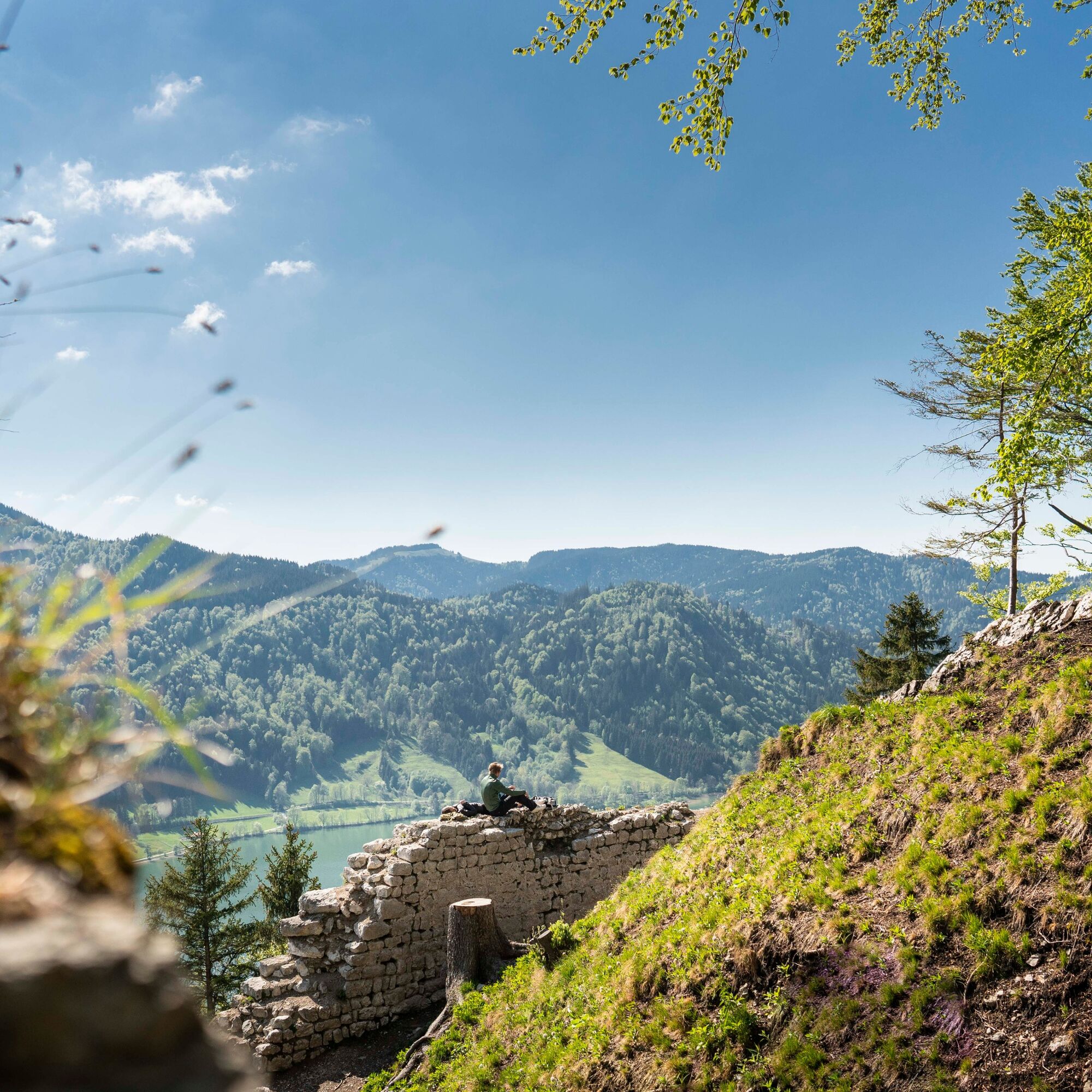
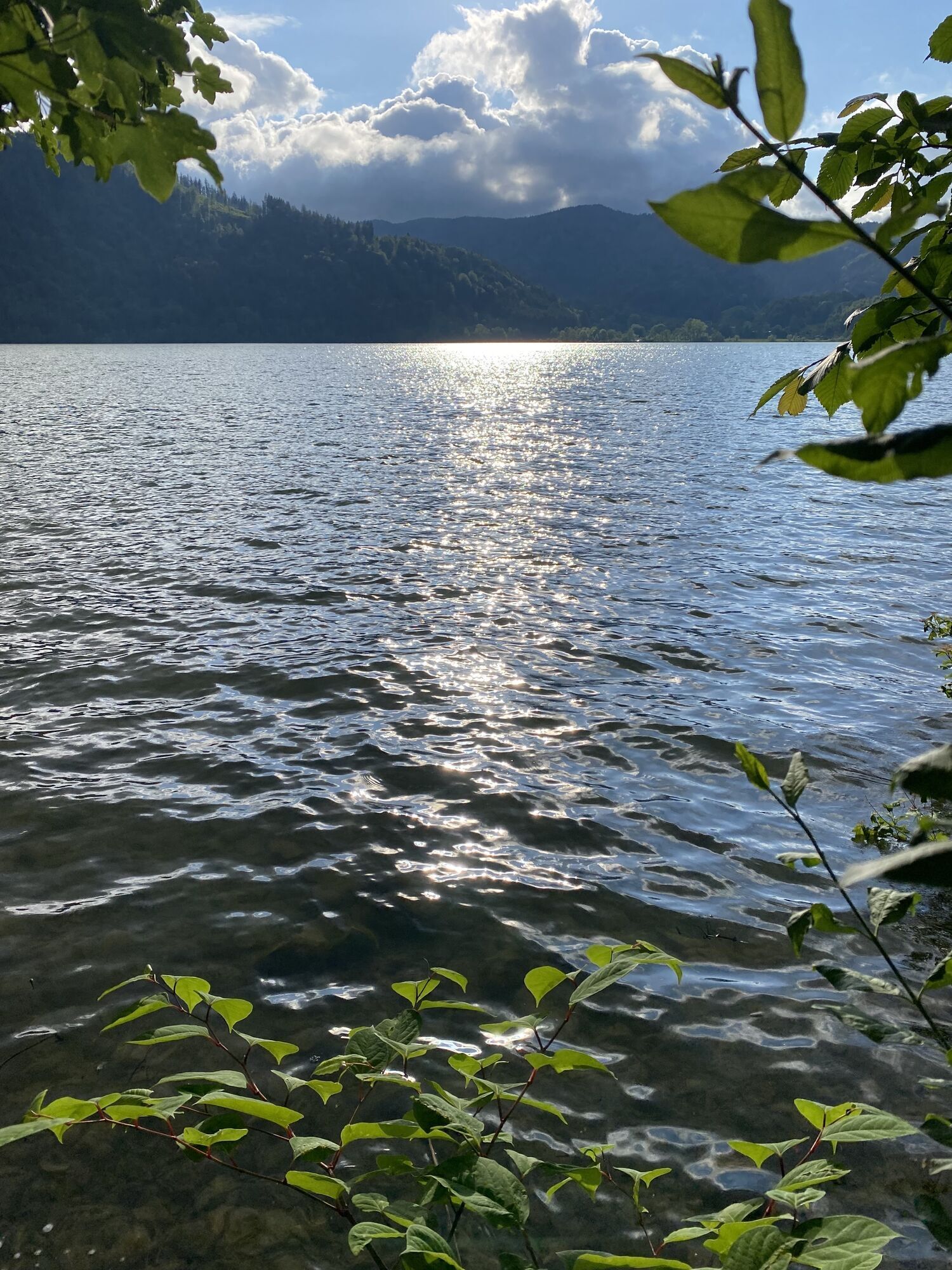
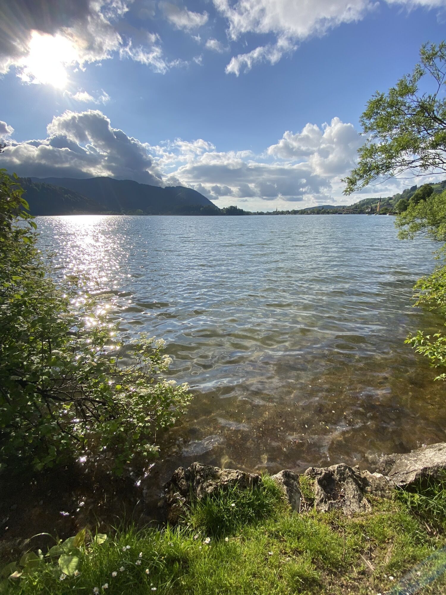
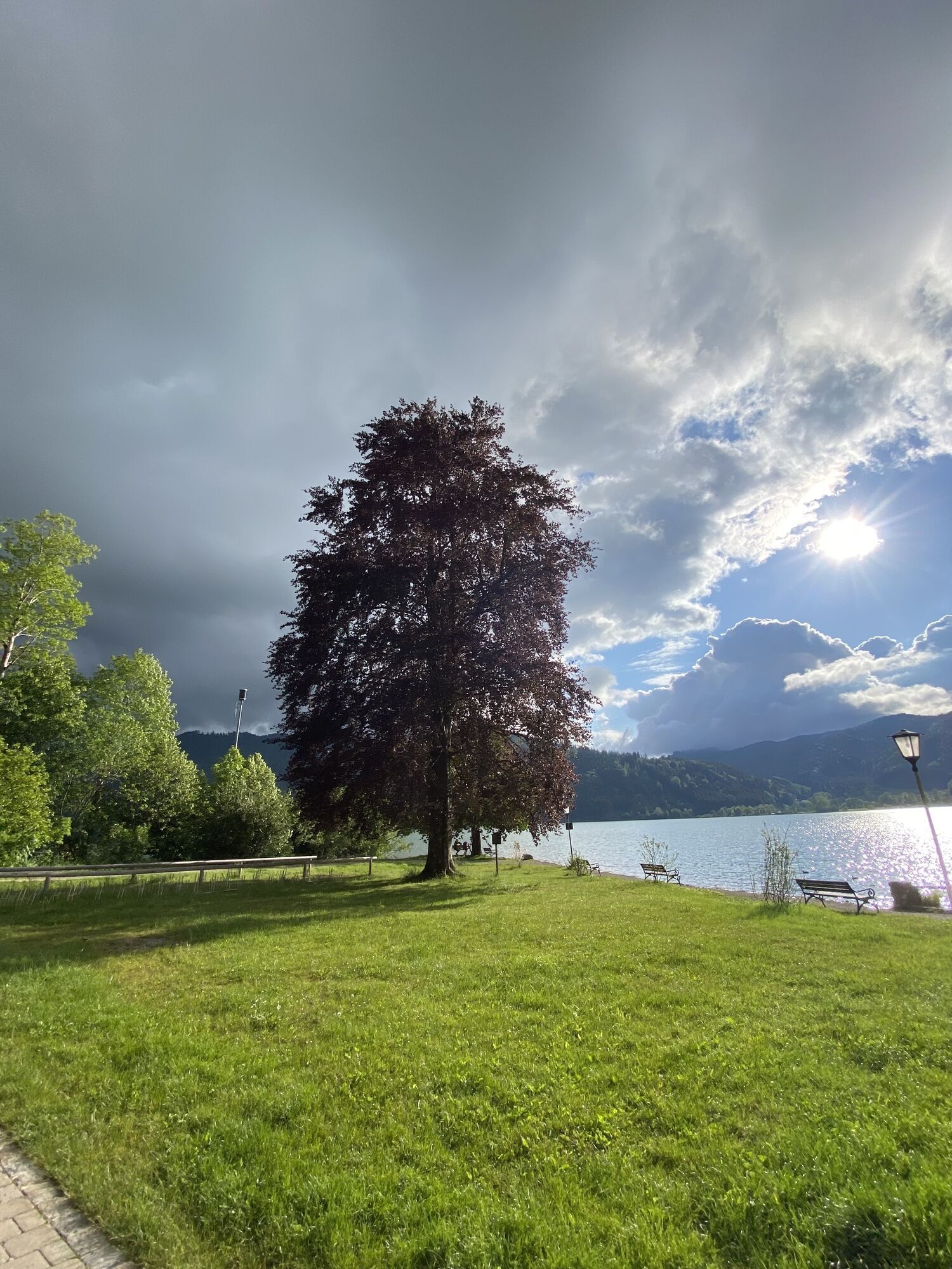
We start at the southern end of Schliersee in the district of Fischhausen. Shortly after leaving the village, behind the Schnapperwirt inn, the hiking trail begins upwards to the Hohenwaldeck ruins. We follow the signs and head uphill over a meadow into the forest. There, a path branches off to the right after about 200 meters, which we continue to follow uphill. The path winds over roots up to the freshly restored ruins, from where we enjoy the view over Schliersee and the surrounding mountains. Those wishing to hike directly back to the starting point from the ruins follow the ascent path back down to the valley. For a longer descent, we follow the trail further north. It continues through the forest towards Schliersee until we reach Oberleiten across a pasture. From there, the path leads down on the paved road to the lakeshore. The way back to the starting point can now be walked along the lake or alternatively taken by train from Schliersee to Neuhaus.
Da
We recommend sturdy footwear and possibly poles. Please remember provisions, mobile phone, change of clothes, and a first aid kit.
All information without guarantee. Hiking and riding on the described routes is at your own risk.
A8 to Weyarn exit, via state road 2072 and B307 to Schliersee and onward to Fischhausen.
Trains of the Bavarian Oberlandbahn run hourly from Munich to Schliersee or Fischhausen/Neuhaus.
Parking options in Fischhausen or Schliersee/Unterleiten
T1
Priljubljeni izleti v okolici
- 4,7
Breitenstein
srednjaPohodništvo9,13 km - 4,0
Von der Kistenwinterstube zum Risserkogel
srednjaPohodništvo10,4 km - 3,9
Jägerkamp und Benzingspitze
srednjaPohodništvo8 km - 4,7
Leonhardstein
srednjaPohodništvo8,17 km - 4,5
Brecherspitz-Runde auf dem Normalweg Schliersee, Bayern
srednjaPohodništvo11,3 km - 4,6
Wendelstein
srednjaPohodništvo11,2 km - 4,8
Brecherspitze
srednjaPohodništvo14,5 km - 4,6
Aueralm/Zwerglberg
srednjaPohodništvo11,9 km - 4,2
Aueralm and Fockenstein
težkoPohodništvo14,8 km - 4,0
Tegernsee Höhenweg - North
svetlobaPohodništvo12,3 km
Pohodništvo in sledenje


Ne zamudite ponudb in navdiha za naslednje počitnice
Vaš e-poštni naslov je bil dodan na poštni seznam.