



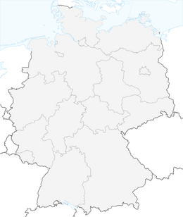


Hochplatte
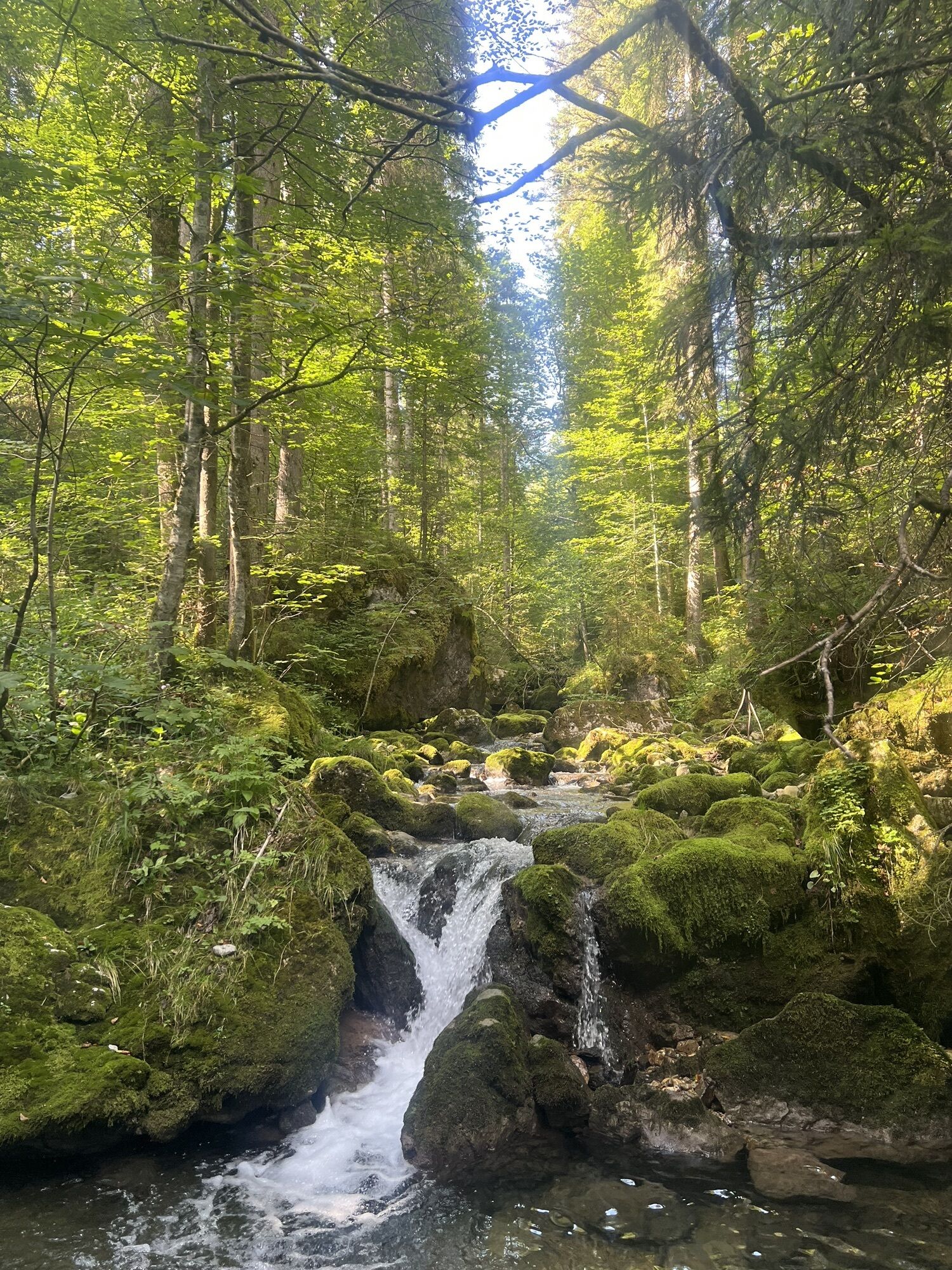
This beautiful ski tour is suitable for beginners except for the last summit rise, as it does not require too much stamina or technique. Up to the Buchsteinhütte, you ascend comfortably on forest roads,...
This beautiful ski tour is suitable for beginners except for the last summit rise, as it does not require too much stamina or technique. Up to the Buchsteinhütte, you ascend comfortably on forest roads, afterwards you can try a short piece in deep snow.


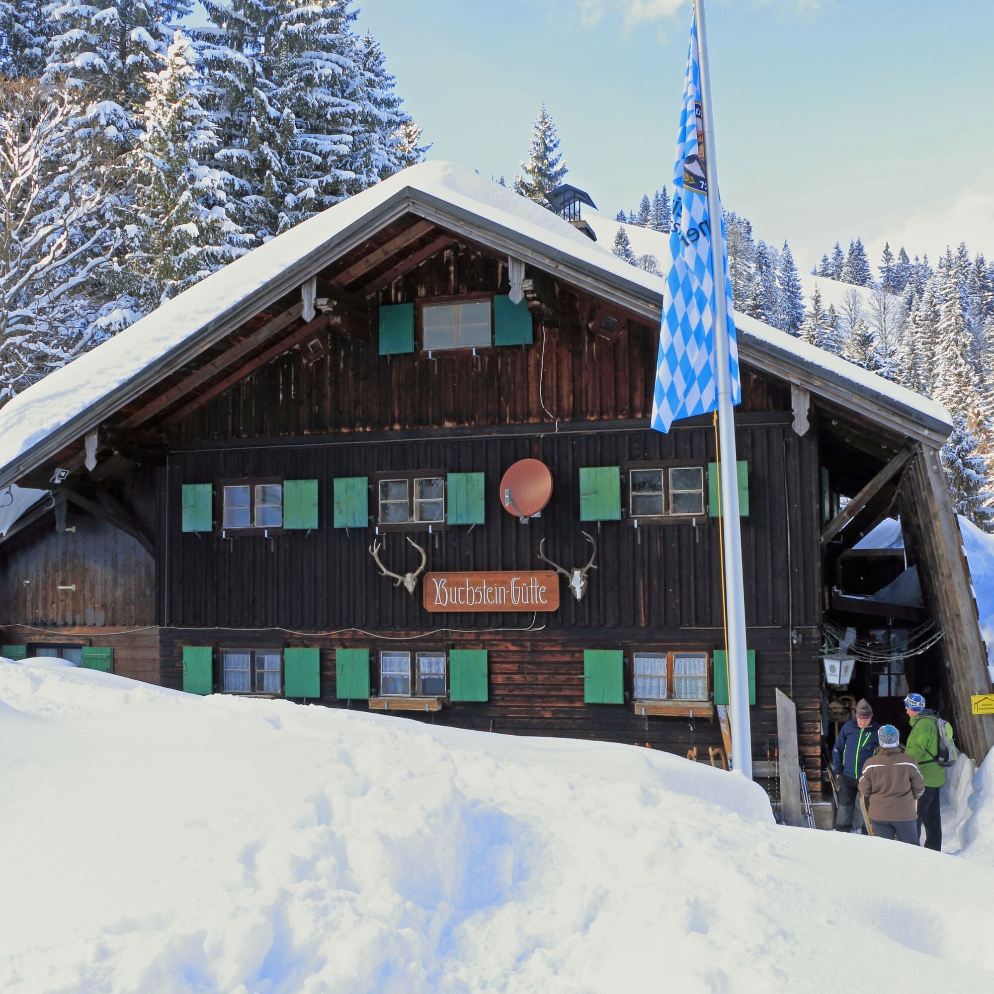
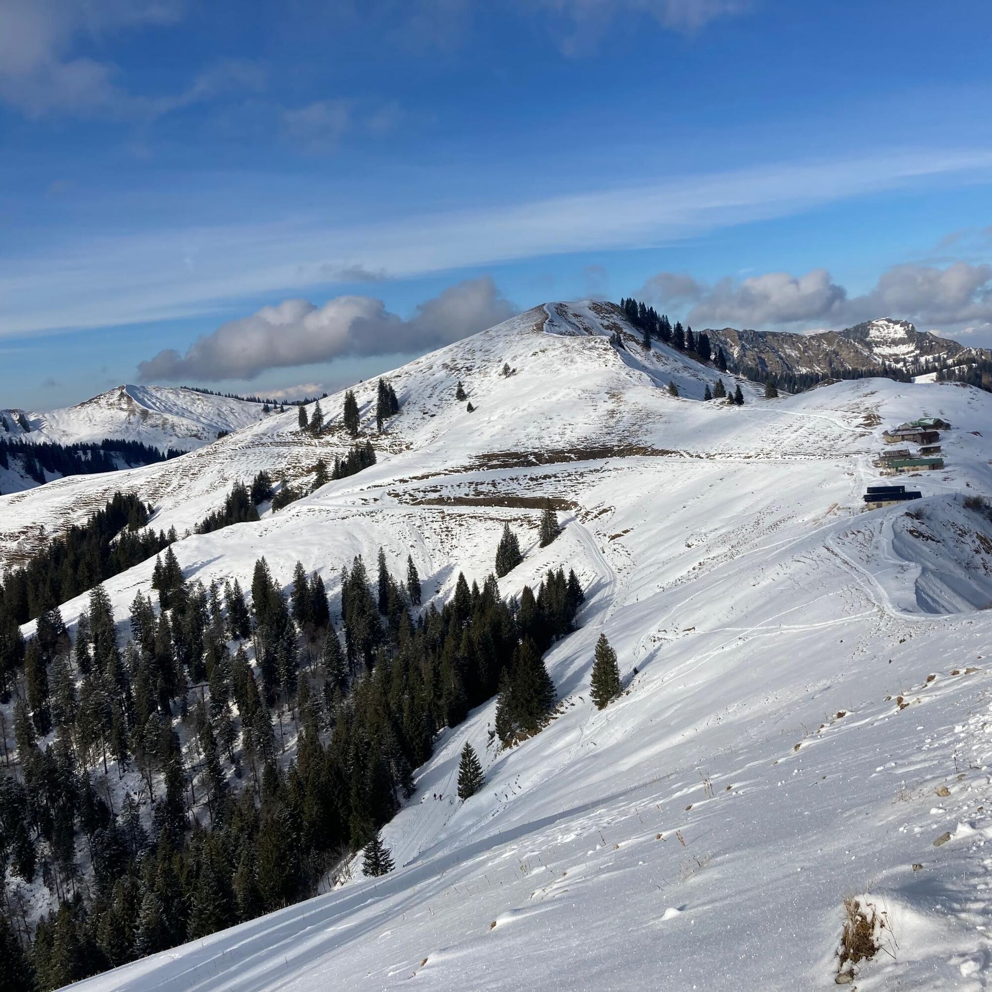

From the Schwarzentenn car park, the signposted forest road – initially towards Schwarzentenn Alm, then left to the Buchsteinhütte – is impossible to miss and avalanche-safe even with lots of fresh snow. Behind the Buchsteinhütte, it becomes more alpine: serpentine paths lead pathlessly over a short steep slope up to the ridge, which stretches wide and almost flat to the last summit rise. However, to master this, secure snow conditions are required. Downwards, you either follow the ascent track or take the steeper route via the Rosssteinalms back to the Buchsteinhütte, for which the avalanche danger must also be low. You then return to the Schwarzenbach valley via the toboggan run or a shortcut through the forest, where a detour to the Schwarzentenn Alm invites for further refreshments.
Please note that nature is especially sensitive in the cold season. Please keep to the indicated ascents and descents to avoid destroying the protected areas of flora and fauna. You can also help protect nature.
Da
Ski touring equipment, poles, weather-appropriate clothing, provisions, GPS device, avalanche beacon, avalanche probe, shovel, and mobile phone are recommended.
For all ski routes and snowshoe tours: you move in unsecured alpine terrain at your own risk. You must pay attention to alpine dangers, especially avalanche danger. No liability is assumed. All information without guarantee.
Please also observe the hints from the German Alpine Club on snowshoe and ski tours:
In midwinter, peaks, ridges, and crests should be avoided before 10 a.m. and after 4 p.m., as dusk is feeding time for wild animals. Evening and night tours should be limited to slopes in ski areas designated for “tour evenings.” Noise should be generally avoided.
In forest areas and at the tree line, snow sports enthusiasts should stay on the usual ski and snowshoe routes, forest and hiking paths, keep sufficient distance from tree and shrub groups, and protect reforestation and young forest.
Dogs should at least be kept on a leash up to the tree line.
On site, it is important to pay close attention to information boards and signs. You should also kindly address anyone not adhering to the rules for nature protection in the winter mountains. Perhaps they simply lack the necessary knowledge.
A8 to Holzkirchen exit, via B318 to Kreuth then on to Kreuth-Klamm.
By MVV to Kreuth, bus stop Kreuth-Klamm.
Paid parking Kreuth-Klamm.
Pridobite vpogled Vedno v živo na mestu z več kot 9.500 spletnimi kamerami. bergfex Kot uporabnik Pro si lahko zdaj ogledate ustrezne spletne kamere za številne izlete v aplikaciji izleti iz. Tako si lahko neposredno ogledate trenutne razmere. 


Priljubljeni izleti v okolici
- 4,8
Summit route to the Wallberg
srednjaPohodništvo 12,2 km - 4,7
Königsalm
srednjaPohodništvo 10,0 km - 4,8
Lengrieser Hütte
srednjaPohodništvo 10,6 km - 4,2
Tegernsee Höhenweg - North
svetlobaPohodništvo 12,3 km - 4,6
Brecherspitze
srednjaGorski pohodništvo 14,5 km - 4,6
Aueralm/Zwerglberg
srednjaPohodništvo 11,9 km - 4,5
Brecherspitz-Runde auf dem Normalweg Schliersee, Bayern
srednjaPohodništvo 11,3 km - 3,7
Aueralm und Fockenstein
srednjaPohodništvo 14,1 km - 3,4
Zur Gindelalm und Kreuzbergalm
svetlobaPohodništvo 8,16 km - 4,5
Achenkirch - Zöhreralm - Adlerhorst - Achenkirch
svetlobaPohodništvo 7,70 km
Pohodništvo in sledenje


Ne zamudite ponudb in navdiha za naslednje počitnice
Vaš e-poštni naslov je bil dodan na poštni seznam.





