


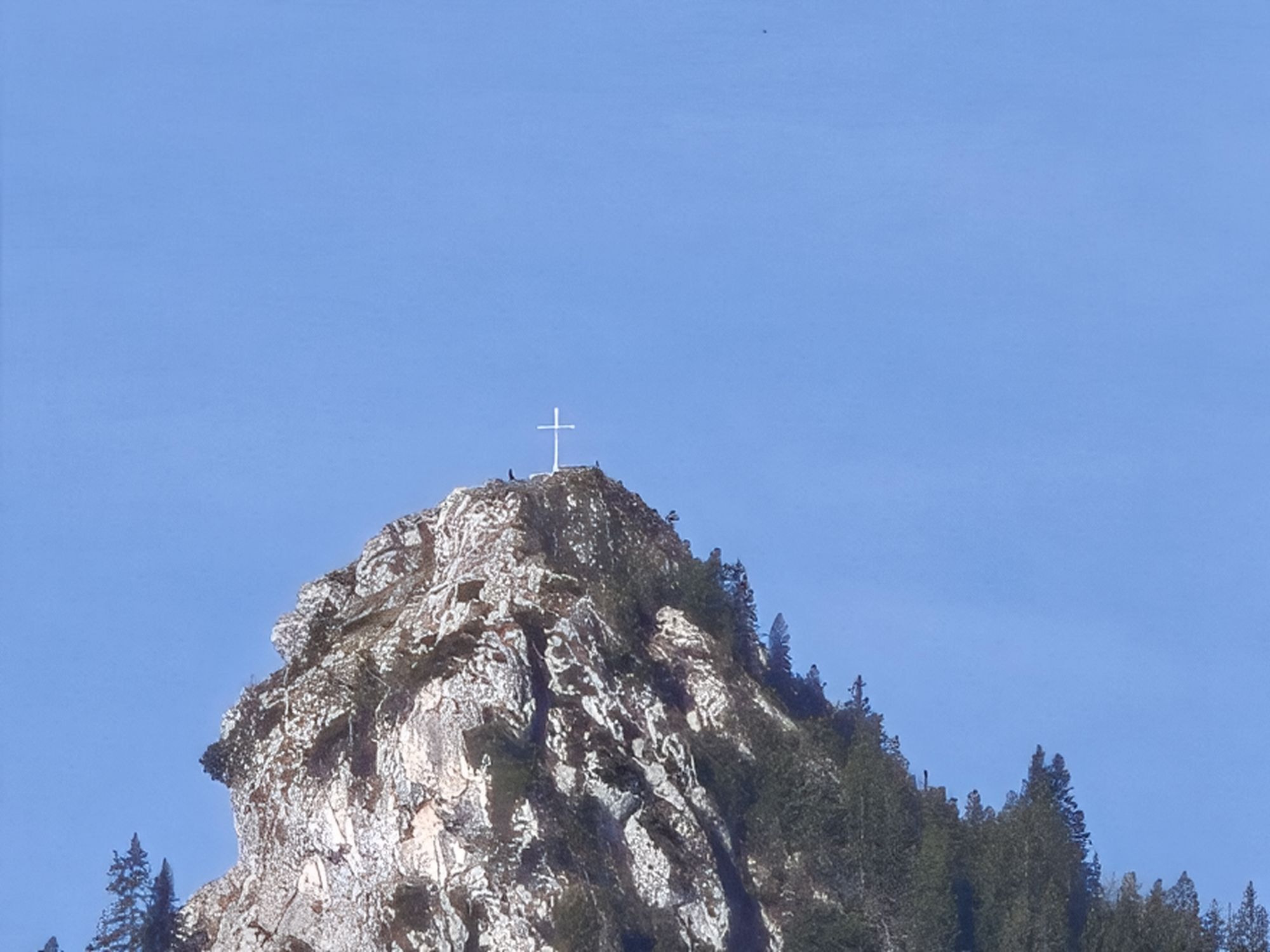
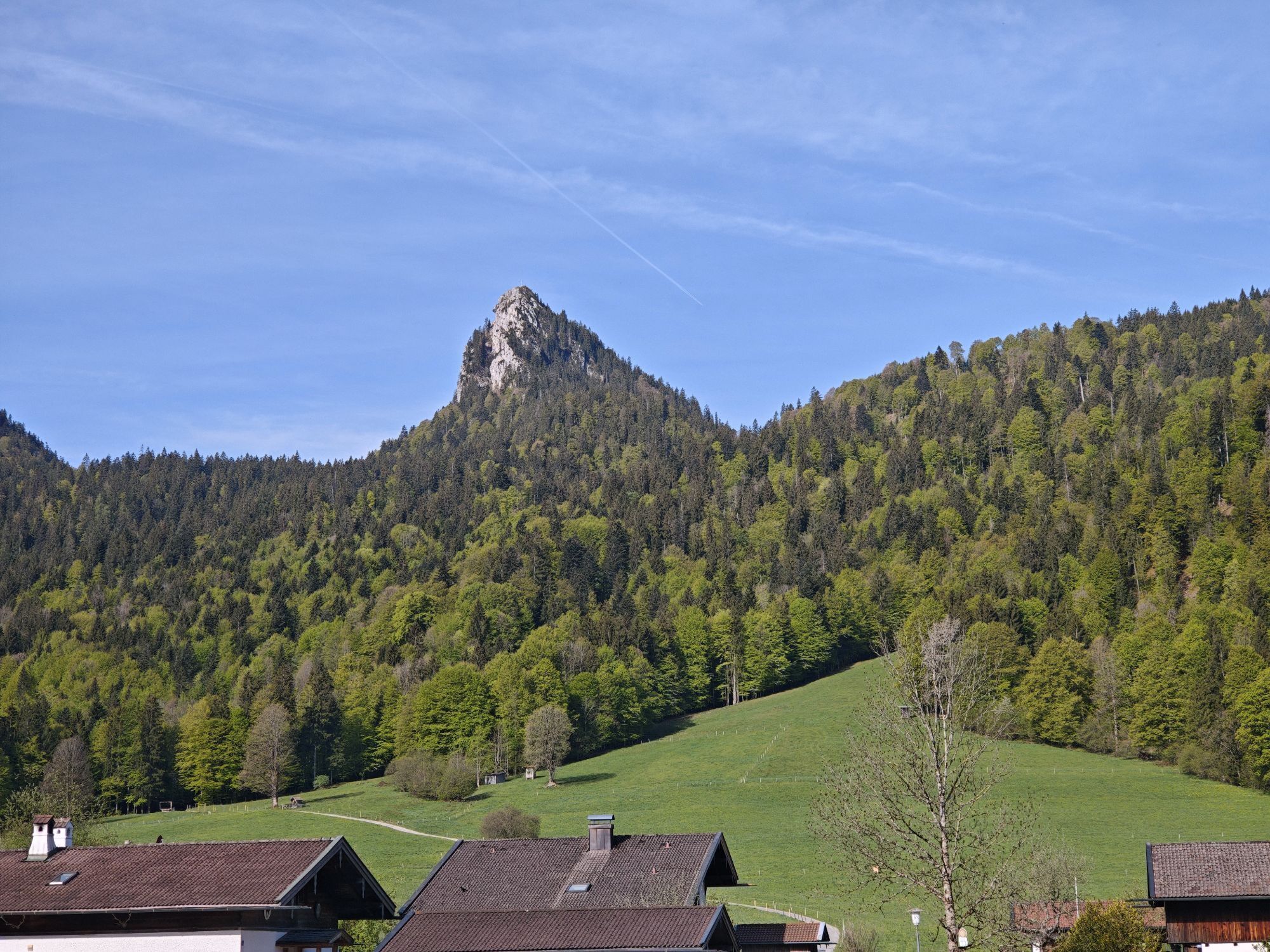
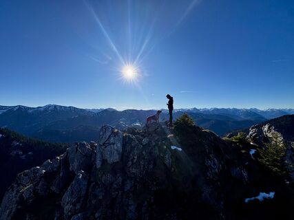
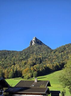
Schwarzentenn-Alm via Leonhardstein saddle
Fotografije naših uporabnikov
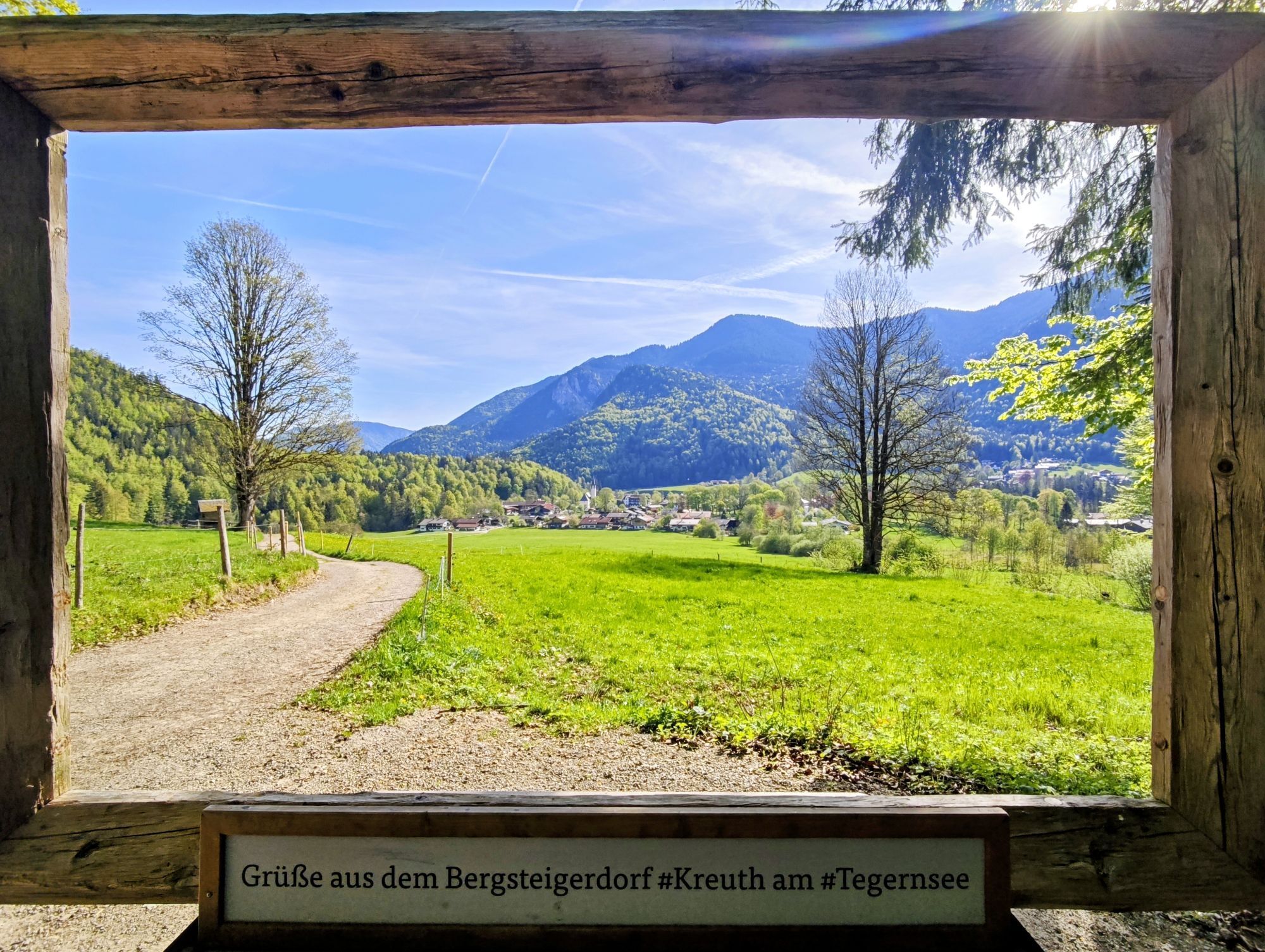
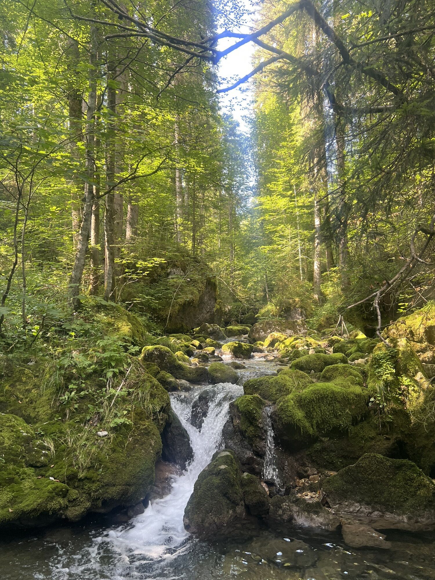


A beautiful circular route that leads directly from the village of Kreuth into the Schwarzenbachtal. Returning to the starting point is possible by bus or by taking a detour through the Weißachau.

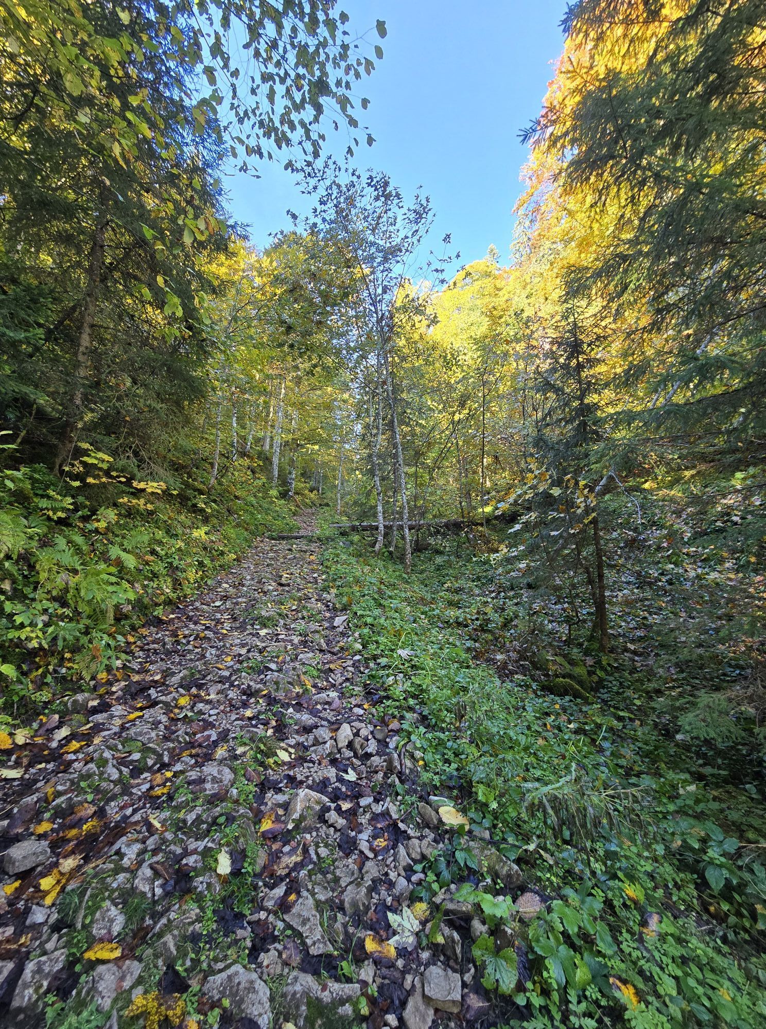
From the starting point in Kreuth village center, head first towards the church. To the left of the Kirchberg lifts, past the chapel, continue through sparse forest on trail 608 to the Leonhardstein saddle. Now we reach a forest road, which leads us downhill to the Schwarzentenn-Buchsteinhütte toboggan run. Once there, keep right and shortly after reach the Schwarzentenn-Alm. The route could be extended from here to the Seekarkreuz or the Buchsteinhütte. Refreshed after the stop, head back to the parking lot at the gorge. For this, first stay on the already known forest road before switching at the fork to the Buchsteinhütte onto a small path that leads us right along the Schwarzenbach stream into the valley. From the parking lot at the gorge, take the bus back to the starting point in Kreuth.
Variant:
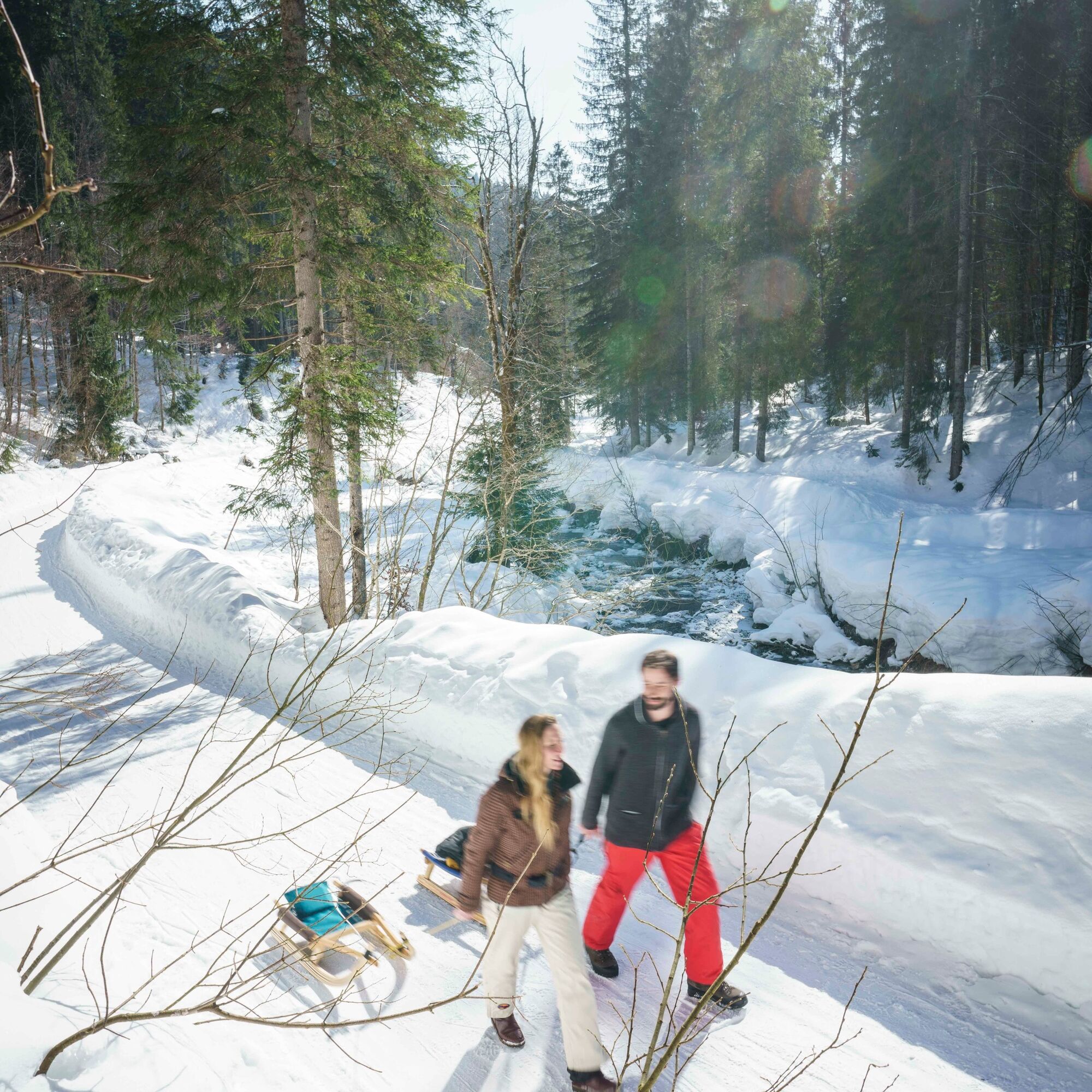
If you still have enough stamina, you can also walk the route back. To do this, cross the federal road and immediately turn left along the edge of the groomed trail between the road and the Weißach river downstream towards Wildbad Kreuth. Please observe the signage, walk on the outer left edge of the track and please do not walk in the trail. From the Gernberg parking lot, continue on winter hiking trails: first via the Ducal fish hatchery to the historic site of Wildbad Kreuth. Via trails 502 and 501, we then reach our starting point in Kreuth along the Weißach river.
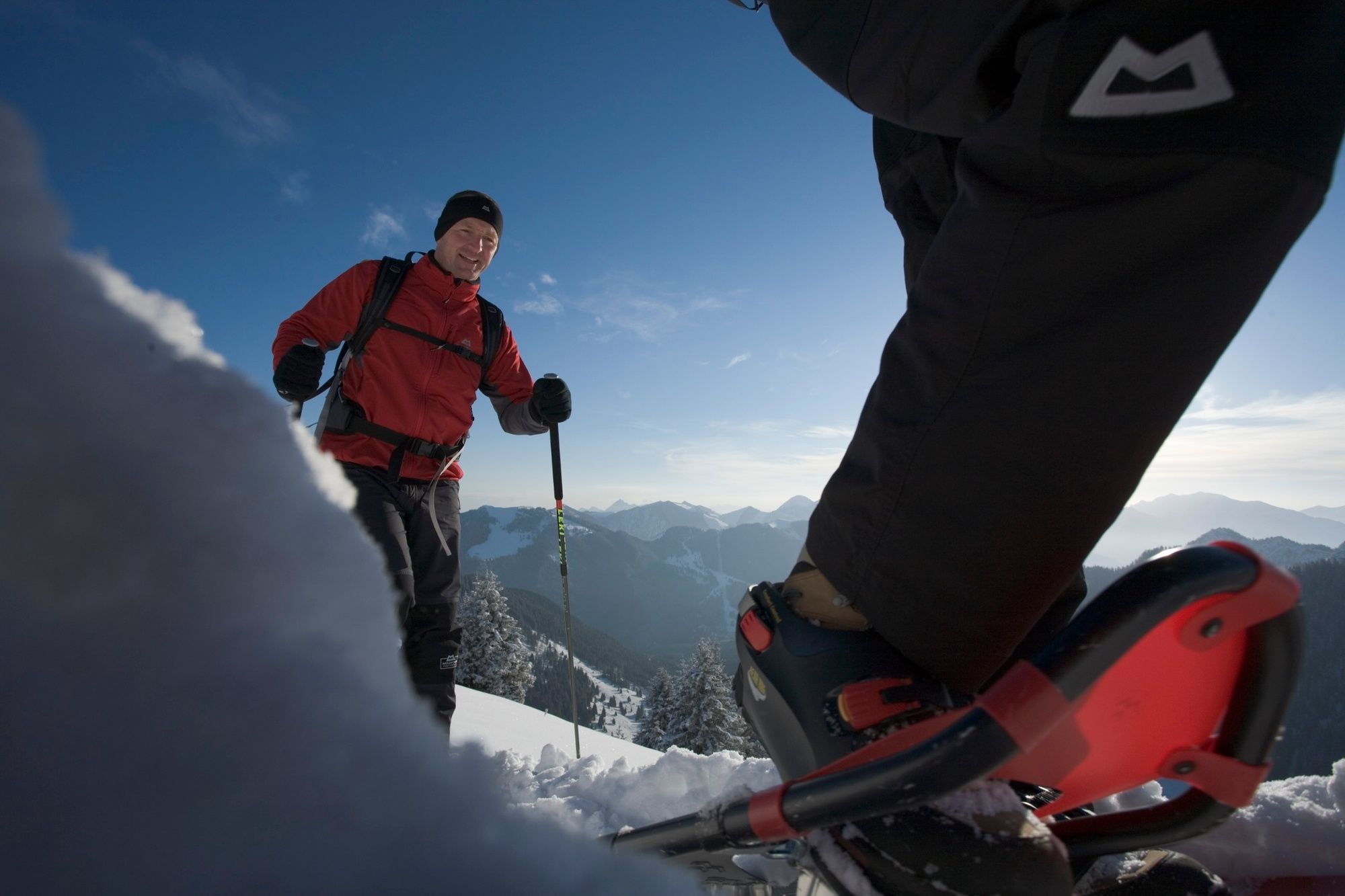
Snowshoes, poles, weather-appropriate clothing, provisions, avalanche transceiver, avalanche probe, avalanche shovel, and mobile phone are recommended.
For all ski routes and snowshoe tours: you are moving in unsecured alpine terrain at your own risk. You must pay attention to alpine dangers, especially avalanche risk. No liability is accepted. The Leonhardstein summit is only accessible in summer.
Please also observe the instructions from the German Alpine Club for snowshoe and ski tours:
In midwinter, summits, ridges, and crests should be avoided before 10 a.m. and after 4 p.m., as twilight is the feeding time for wildlife. Evening and night tours should be limited to ski slopes designated for "tour evenings". Noise should generally be avoided.
In forest areas and at the forest edge, snow sport participants should stay on the usual ski and snowshoe routes, forest and hiking trails, keep sufficient distance from groups of trees and shrubs, and preserve reforestation and young forest.
Dogs should be kept on a leash at least up to the forest edge.
On site, it is important to pay close attention to information boards and signs. And you should also kindly address anyone who does not follow the rules for nature protection in the winter mountains. Perhaps they simply lack the necessary knowledge.
Motorway A8 Munich towards Salzburg, exit Holzkirchen, B307 via Tegernsee to Kreuth village center.
Take the MVV to Kreuth to the Kreuth-Riedlerbrücke bus stop. The return trip from Schwarzentenn-Alm to the starting point in Kreuth village or to Tegernsee station is from the Kreuth Klamm bus stop. Please check the bus departure times in advance to avoid unnecessary waiting times.
Hiking parking lot at Kirchberg.


Priljubljeni izleti v okolici
- 4.8
Summit route to the Wallberg
srednjaPohodništvo 12.2 km - 4.7
Königsalm
srednjaPohodništvo 10.0 km - 4.8
Lengrieser Hütte
srednjaPohodništvo 10.6 km - 4.2
Tegernsee Höhenweg - North
svetlobaPohodništvo 12.3 km - 4.6
Brecherspitze
srednjaGorski pohodništvo 14.5 km - 4.6
Aueralm/Zwerglberg
srednjaPohodništvo 11.9 km - 4.5
Brecherspitz-Runde auf dem Normalweg Schliersee, Bayern
srednjaPohodništvo 11.3 km - 3.7
Aueralm und Fockenstein
srednjaPohodništvo 14.1 km - 3.4
Zur Gindelalm und Kreuzbergalm
svetlobaPohodništvo 8.16 km - 4.5
Achenkirch - Zöhreralm - Adlerhorst - Achenkirch
svetlobaPohodništvo 7.70 km

Pohodništvo in sledenje


Ne zamudite ponudb in navdiha za naslednje počitnice
Vaš e-poštni naslov je bil dodan na poštni seznam.