







Imberg summit
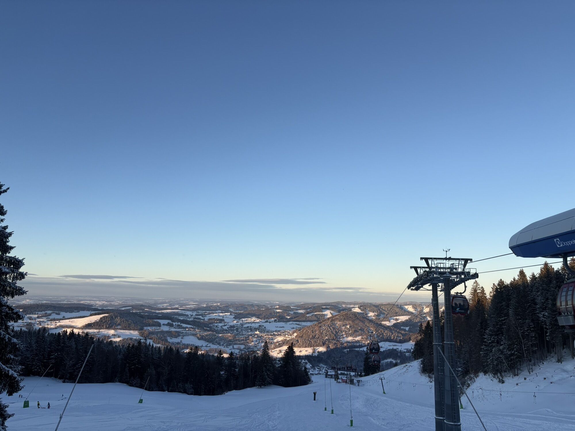
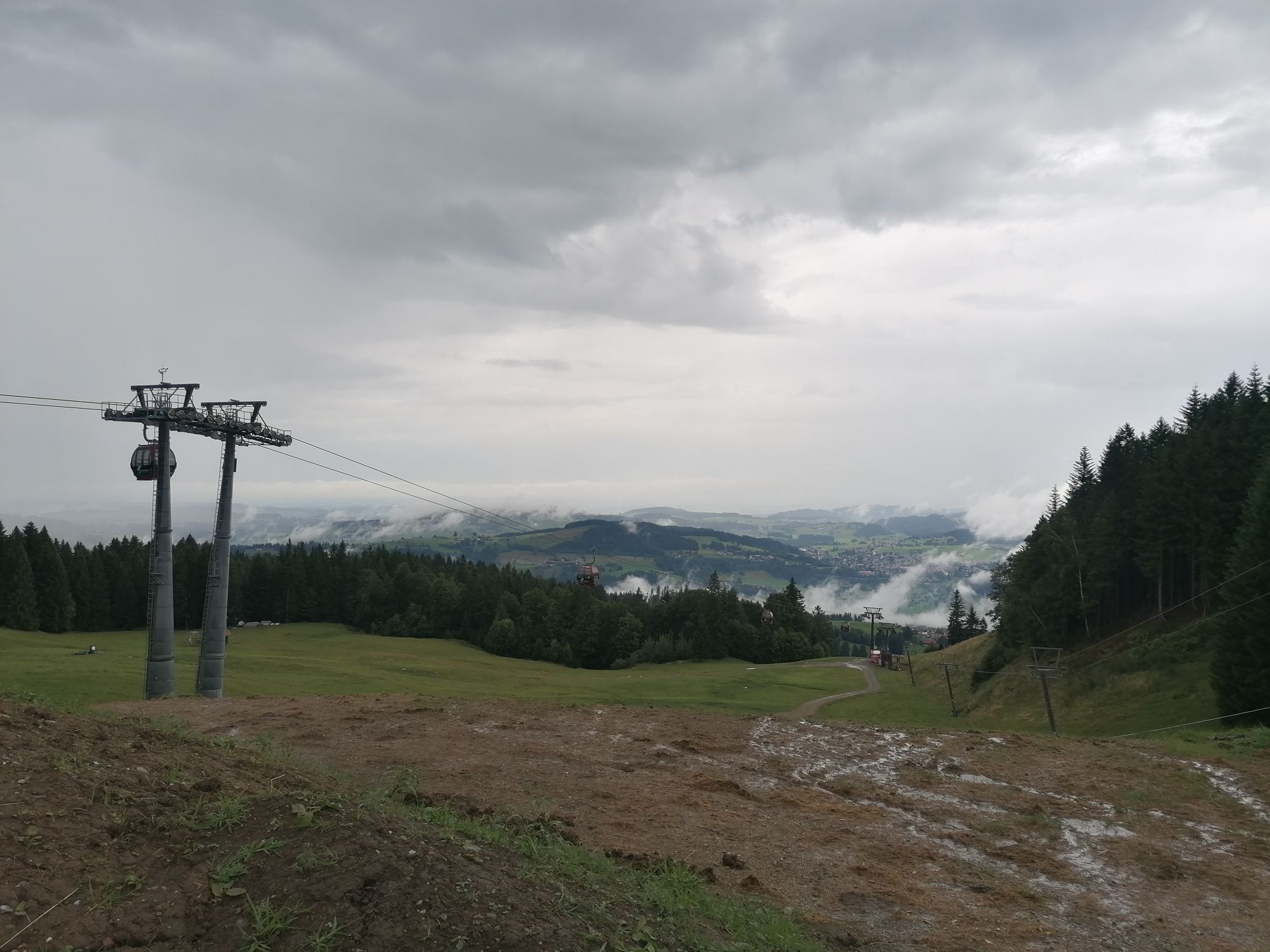
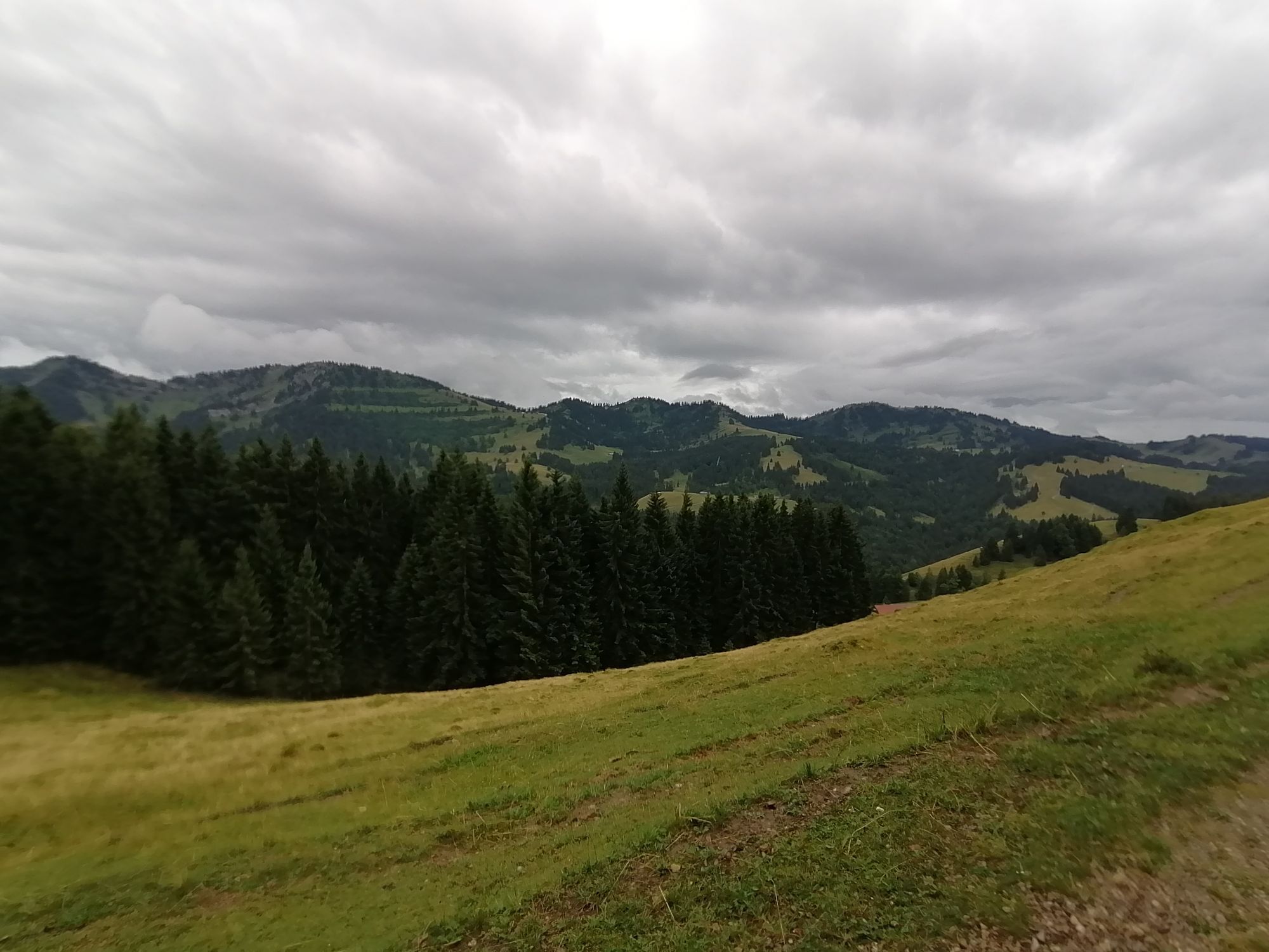
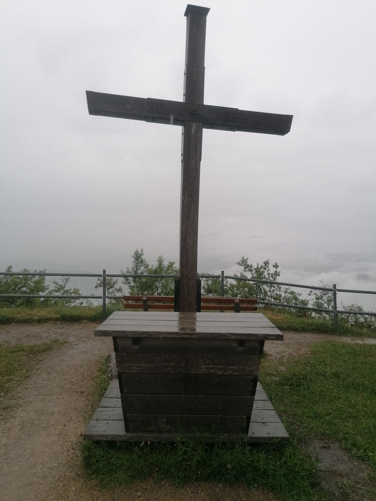
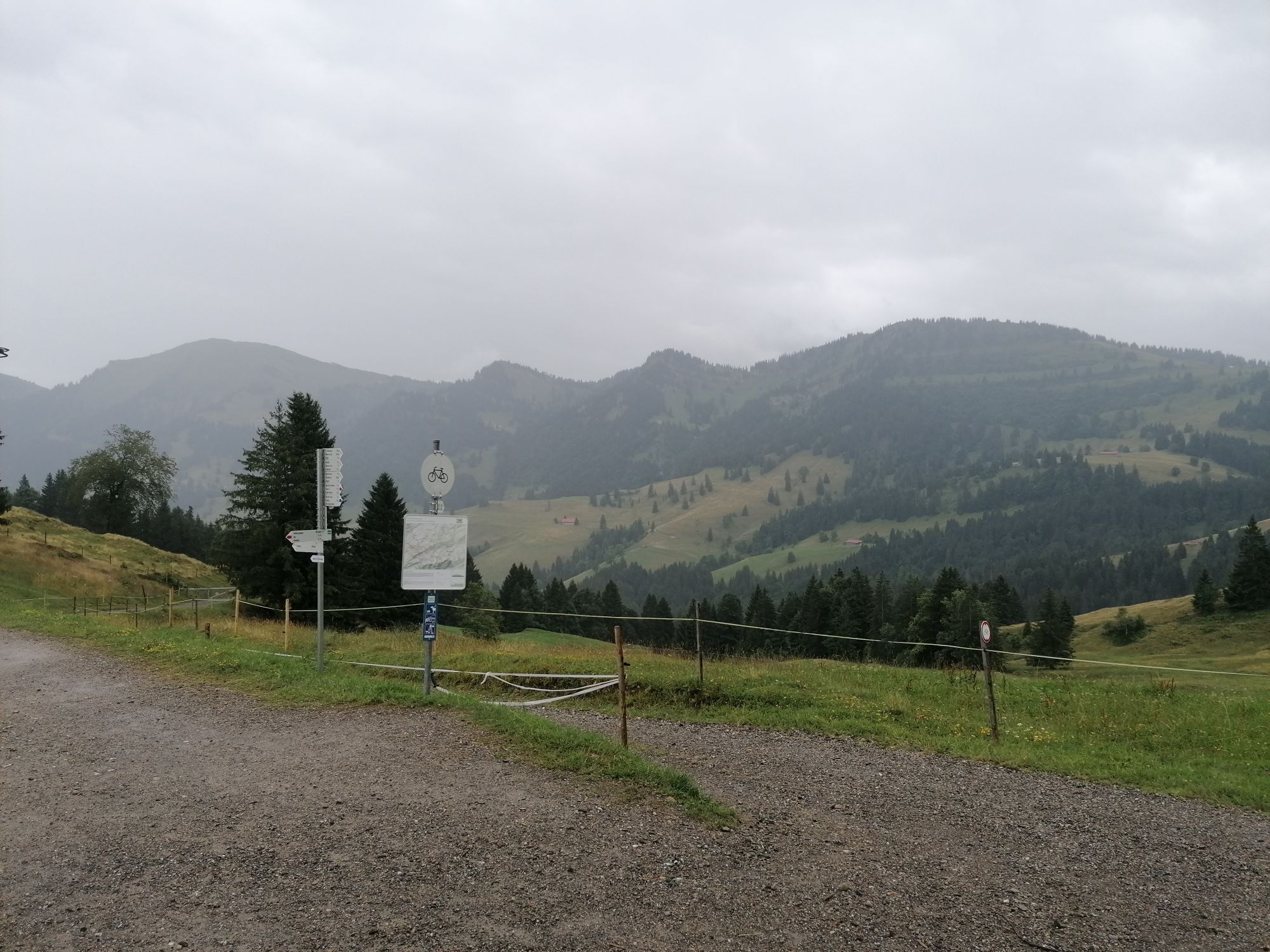
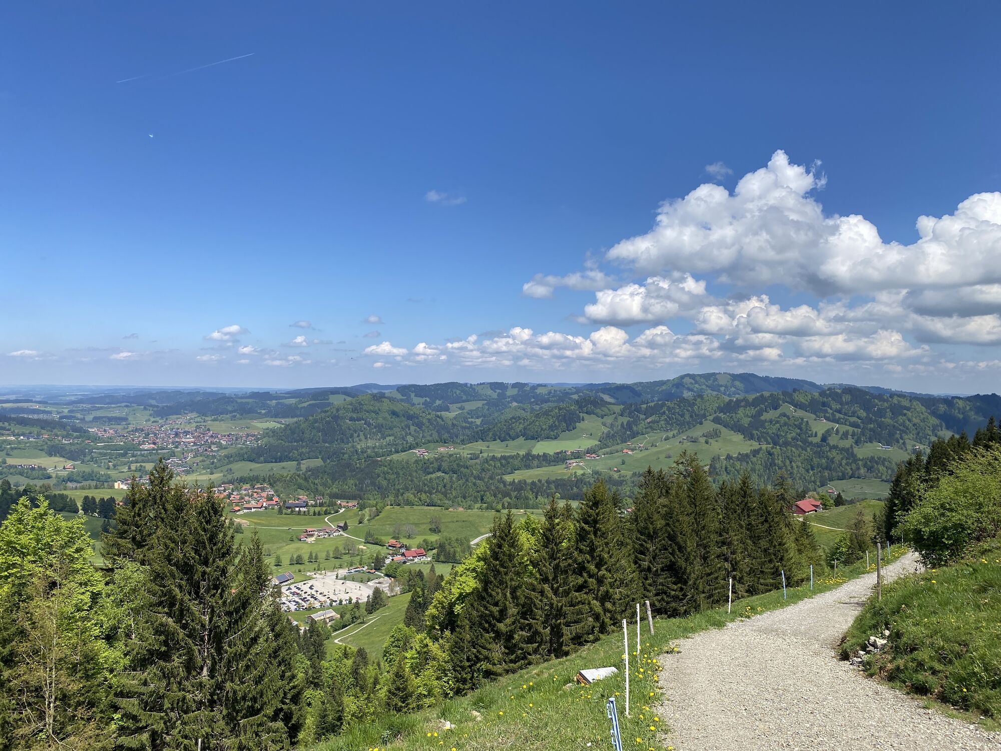
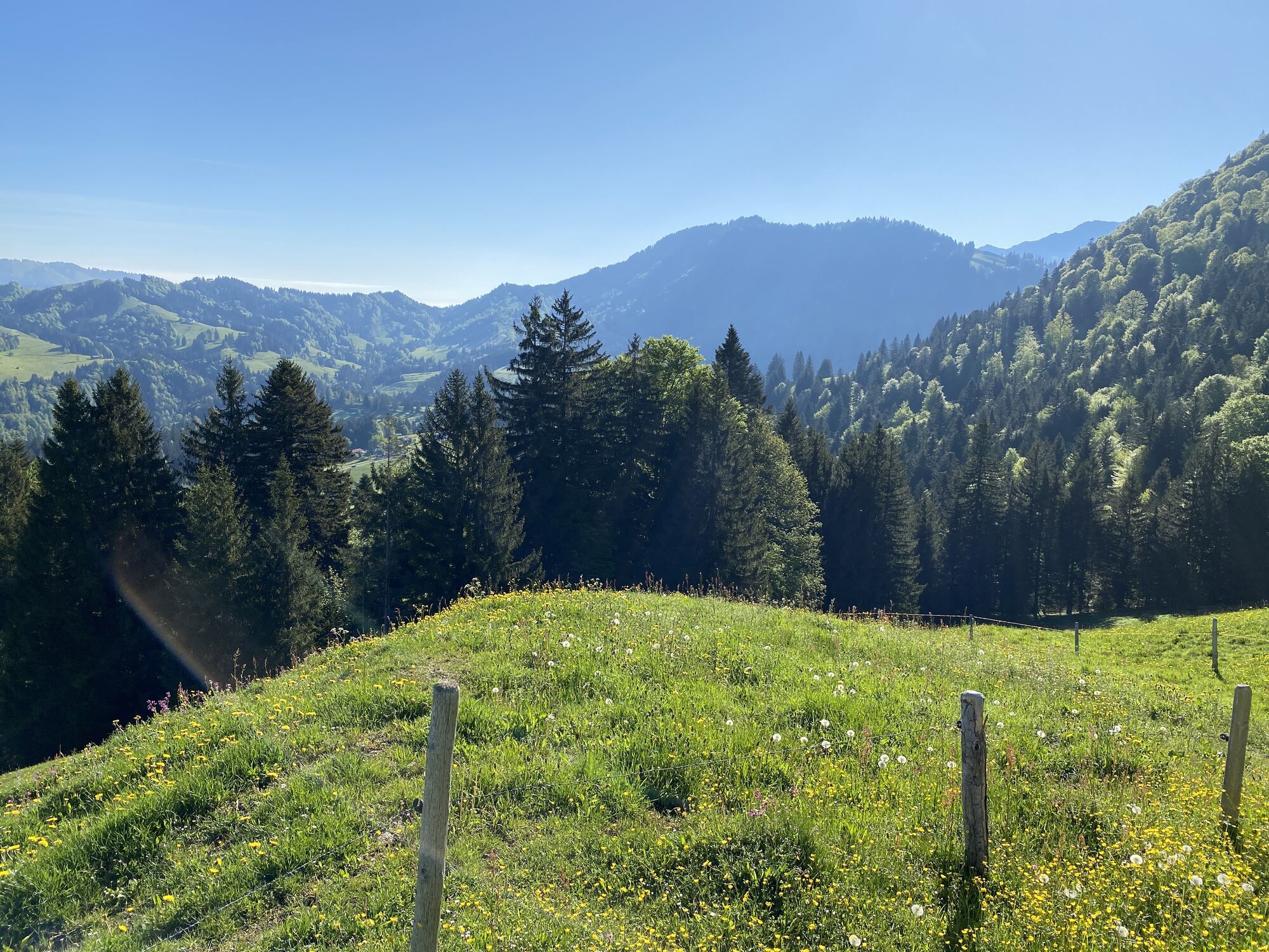
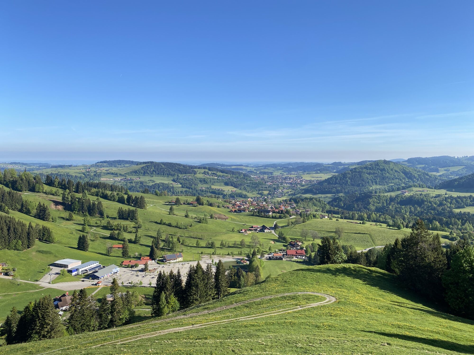
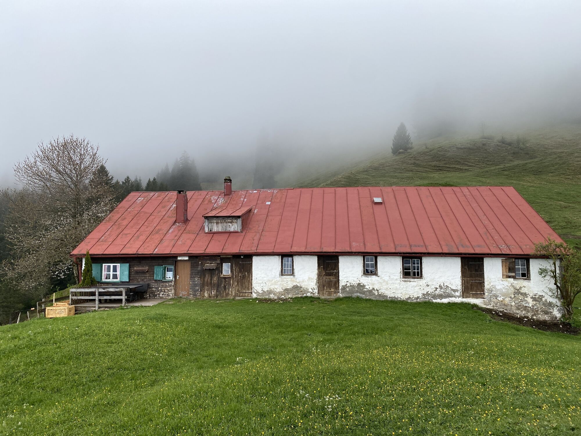
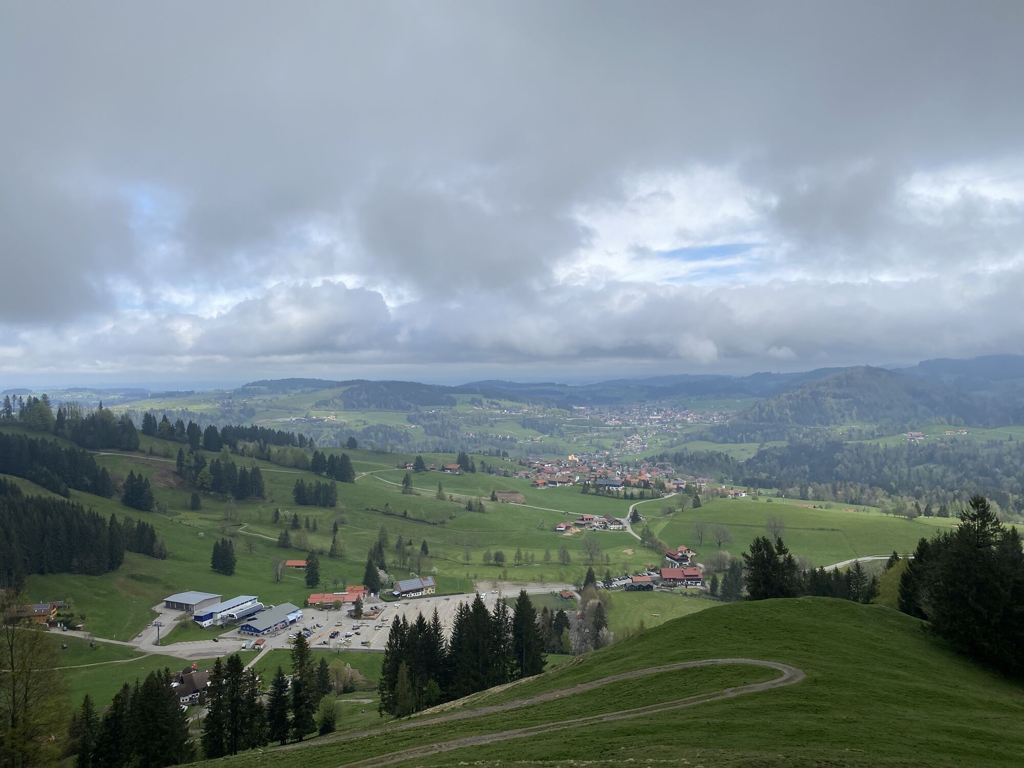
From the valley station of the Imberg cable car we first walk past the Café Auwinkel. The route leads along the summer alpine path. At a fairly comfortable incline, it goes over a few bends past the Imberg-Alpe,...
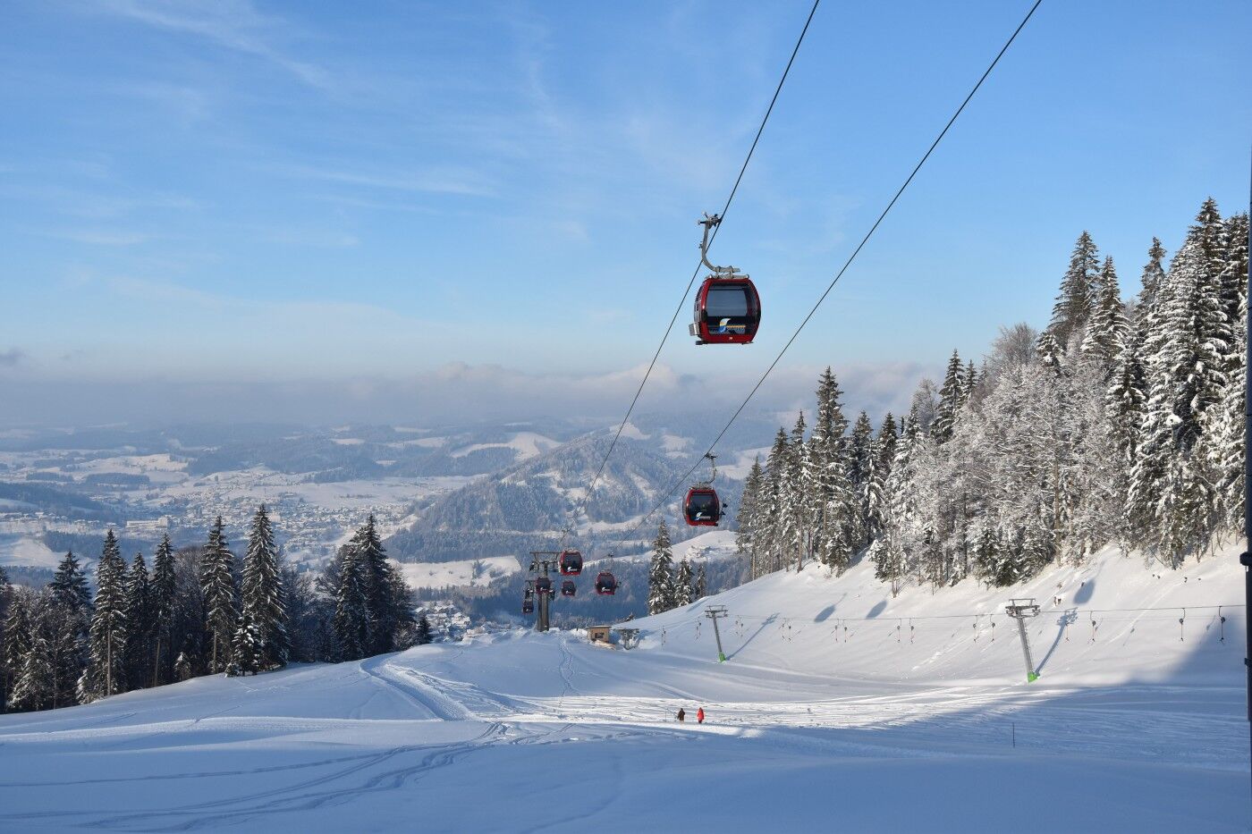
From the valley station of the Imberg cable car we first walk past the Café Auwinkel. The route leads along the summer alpine path. At a fairly comfortable incline, it goes over a few bends past the Imberg-Alpe, then a crossing follows up to the gondola, before shortly reaching the first intermediate goal at the mountain station. Past the mountain station, it continues uphill over open areas towards the Imberg summit. At the summit cross, we are rewarded with a wide view down to Steibis and to Oberstaufen. We climb a bit higher until a magnificent view of the Nagelfluh chain unfolds. The same way leads back to the mountain station. Here there is the possibility to take the cable car down, return the same way, or even add a connecting route towards the Hörmoos area.

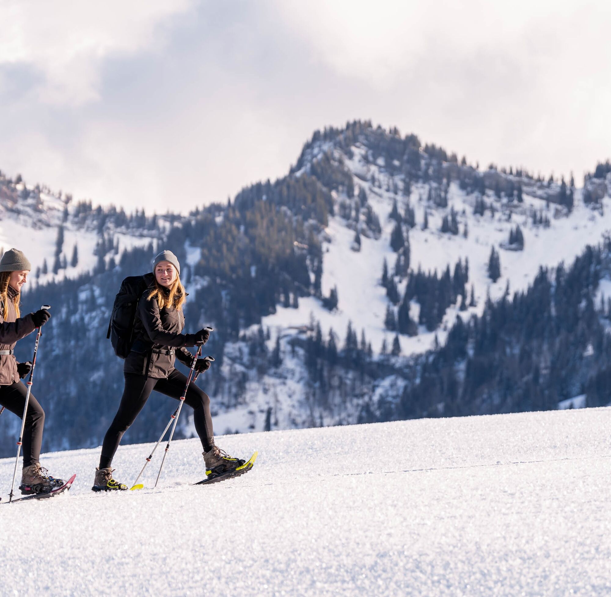
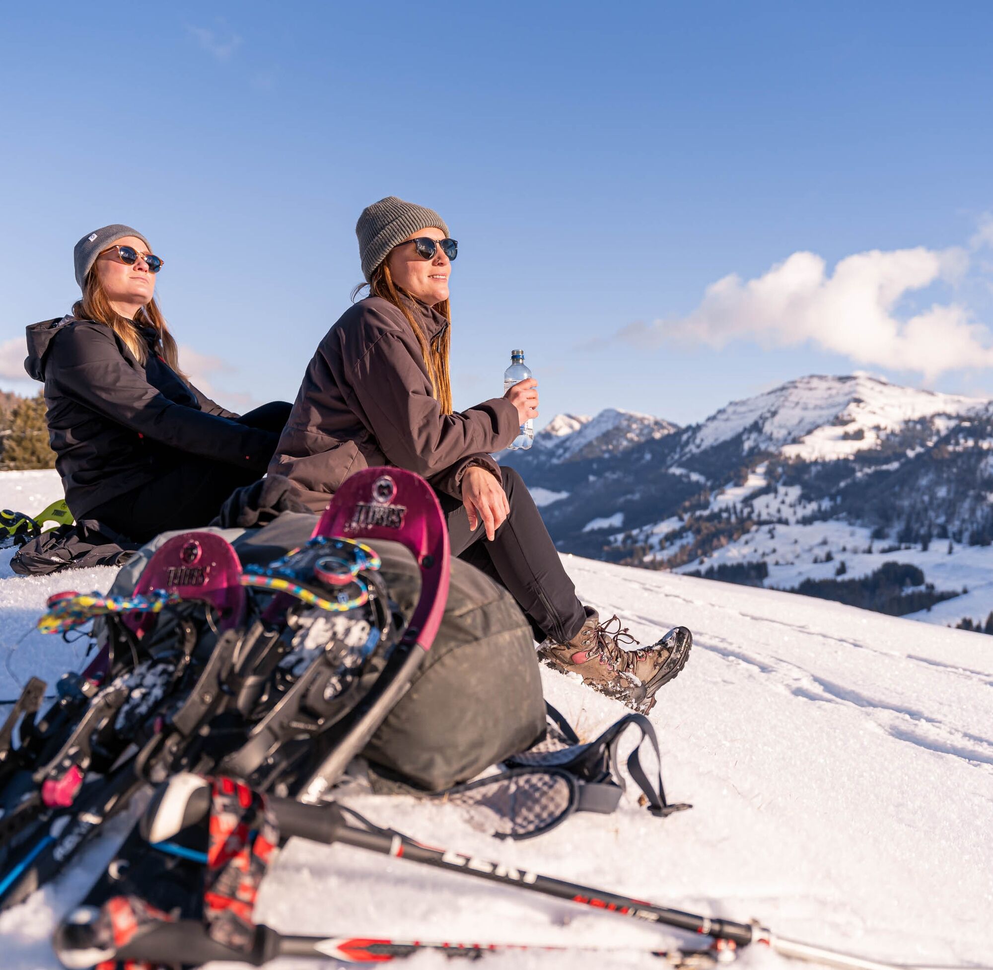


Adjust your equipment to the winter conditions and the specific route destination. Off secured hiking trails, an avalanche transceiver, probe, and shovel as well as their safe use are standard. Also first-aid kit, bivy sack, and mobile phone (European emergency call 112). Map, app, and GPS support orientation.
Inform yourself thoroughly about the avalanche danger before the route! How high is the danger level, where are the danger spots, what are the current avalanche problems? Avoid routes at danger level 4 and 5.
From Oberstaufen towards Steibis to the valley station of the Imberg cable car
Parking spaces at the valley station of the Imberg cable car
Good to know:
This route tip is not specially signposted.

Spletne kamere s turneje
Pridobite vpogled
Vedno v živo na mestu z več kot 9.500 spletnimi kamerami. bergfex Kot uporabnik Pro si lahko zdaj ogledate ustrezne spletne kamere za številne izlete v aplikaciji izleti iz. Tako si lahko neposredno ogledate trenutne razmere.

Priljubljeni izleti v okolici
-
4.7
Winterstaude
srednjaPohodništvo 9.30 km -
4.6
Steibis - Buchenegger Waterfalls
srednjaPohodništvo 6.47 km -
4.6
Hittisau | Wasserwanderweg
svetlobaTematska pot 7 km -
4.6
Panoramarundweg Baumgarten - Niedere
svetlobaPohodništvo 3.76 km -
4.7
Rindalphorn und Hochgrat
srednjaPohodništvo 15.6 km -
5.0
Nagelfluh ridge route Hochgrat - Mittag
težkoPohodništvo 14.0 km -
4.9
Immenstädter Horn
svetlobaPohodništvo 9.35 km -
4.5
Immenstädter Horn - Gschwender Horn
svetlobaPohodništvo 10 km -
5.0
Siedelalpe Runde von See - Immenstadt
svetlobaPohodništvo 10.3 km -
3.5
Rundtour Mittag
svetlobaPohodništvo 15.7 km

Pohodništvo in sledenje


Ne zamudite ponudb in navdiha za naslednje počitnice
Vaš e-poštni naslov je bil dodan na poštni seznam.





