







Sledding run at Hörnle

Stopnja težavnosti: 2
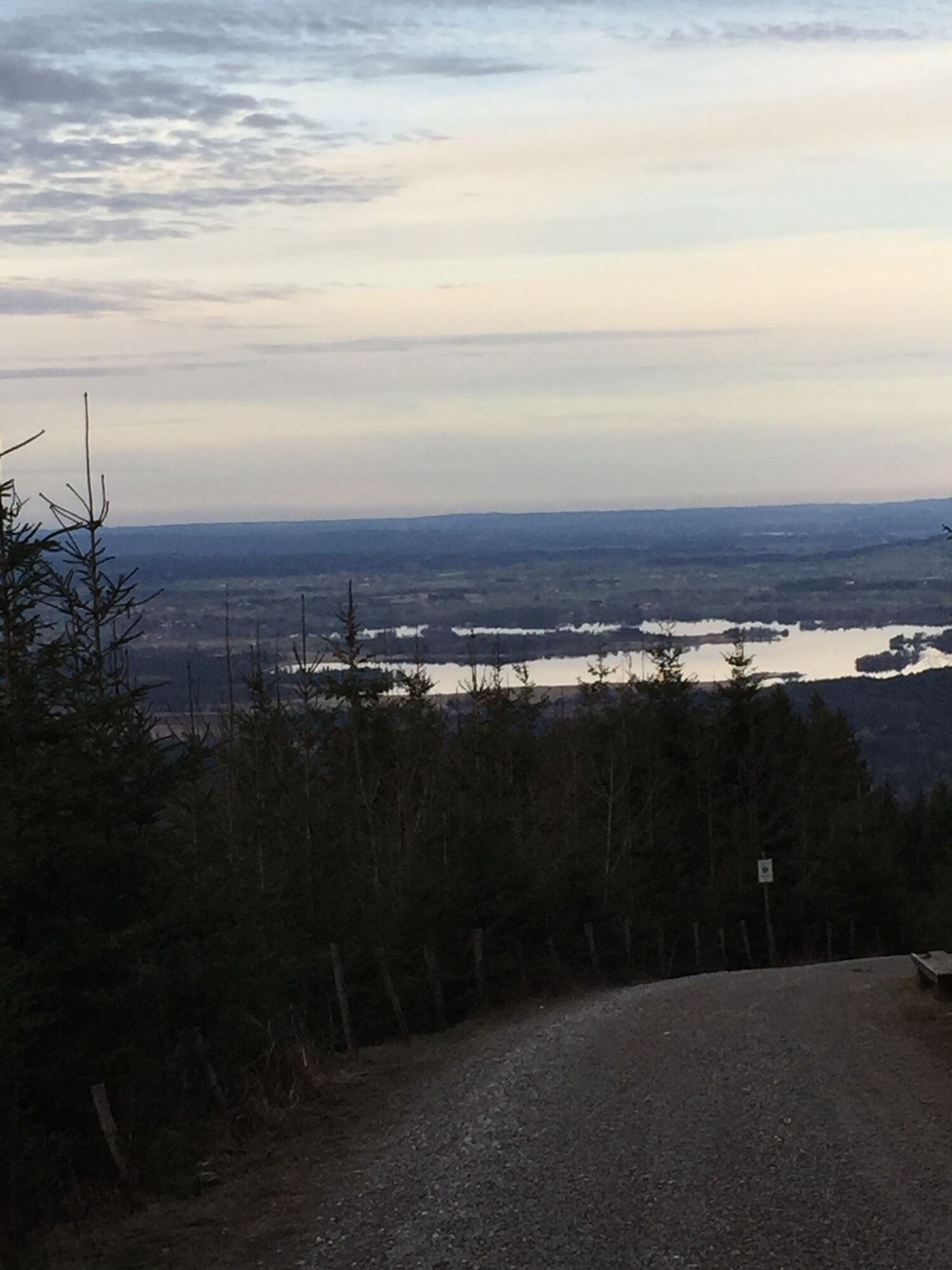
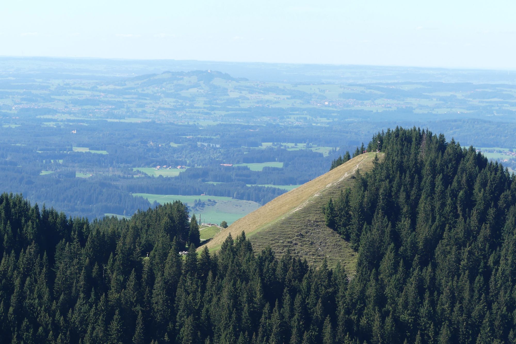
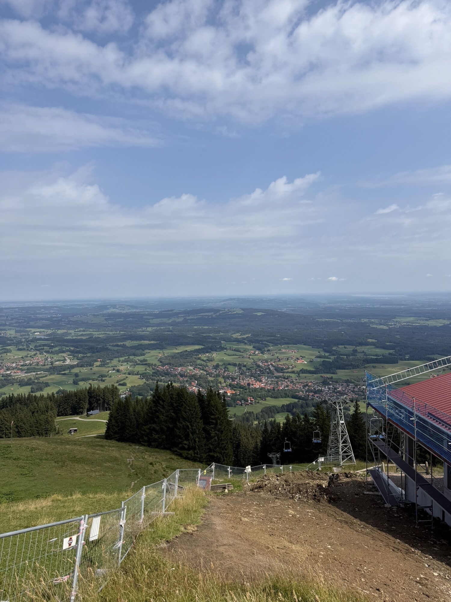
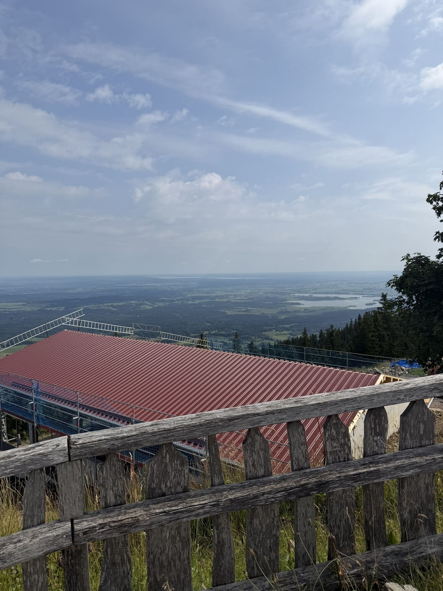
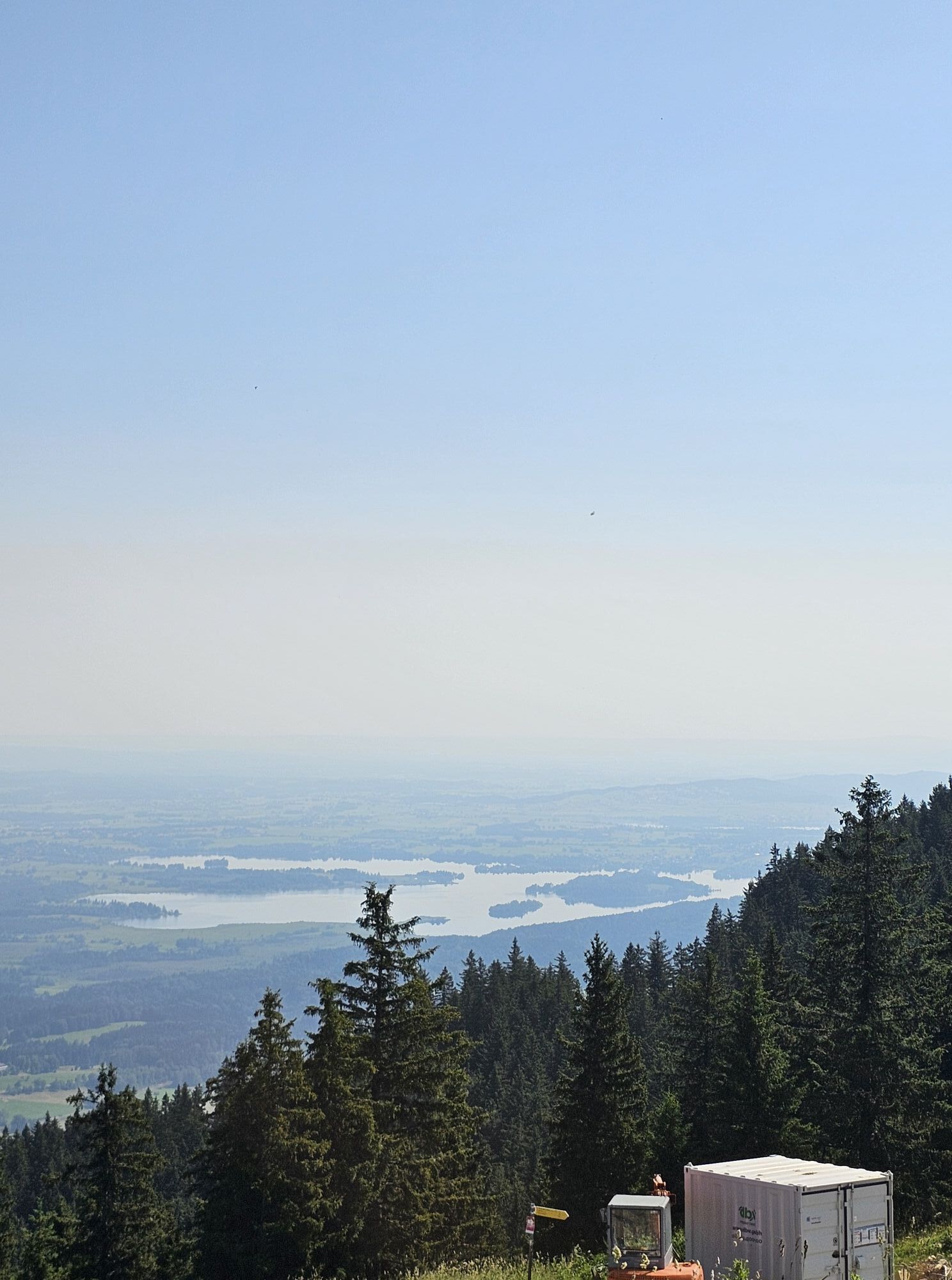
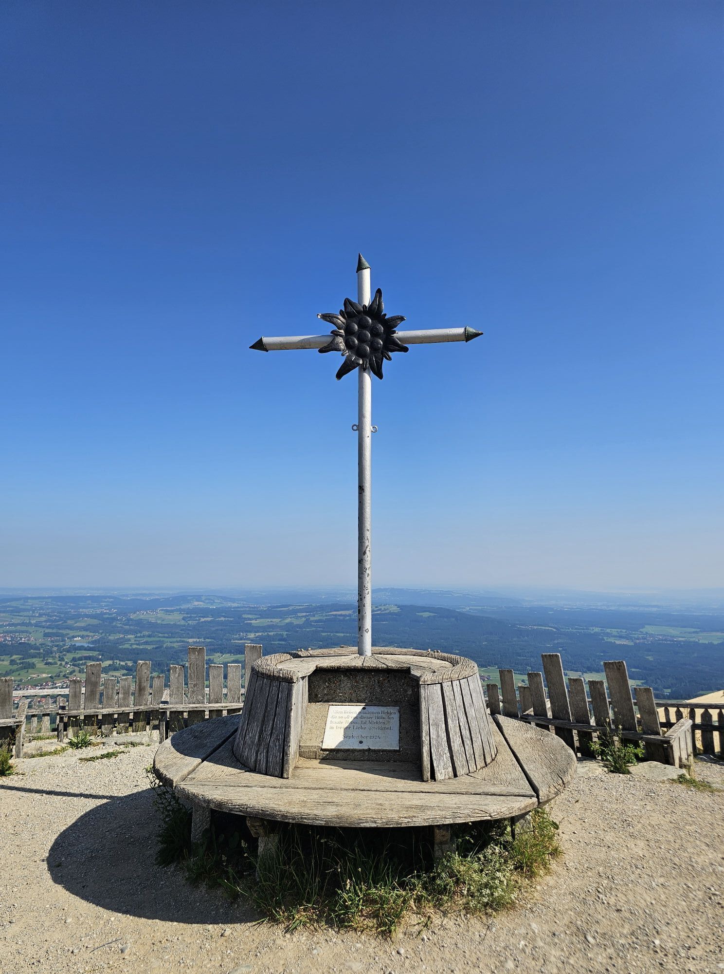
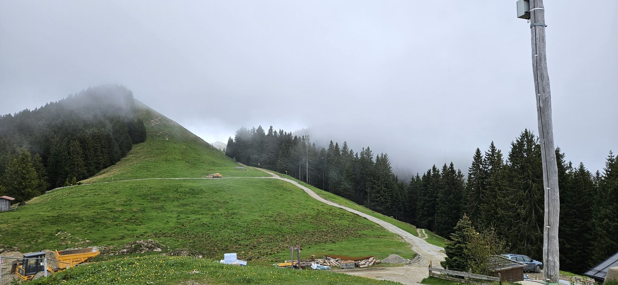
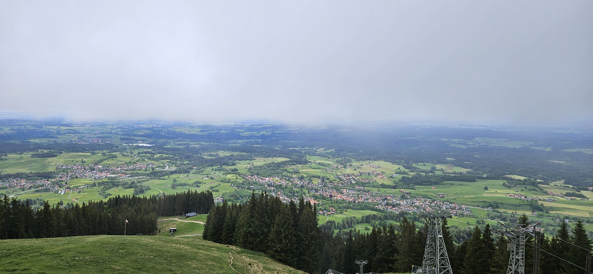
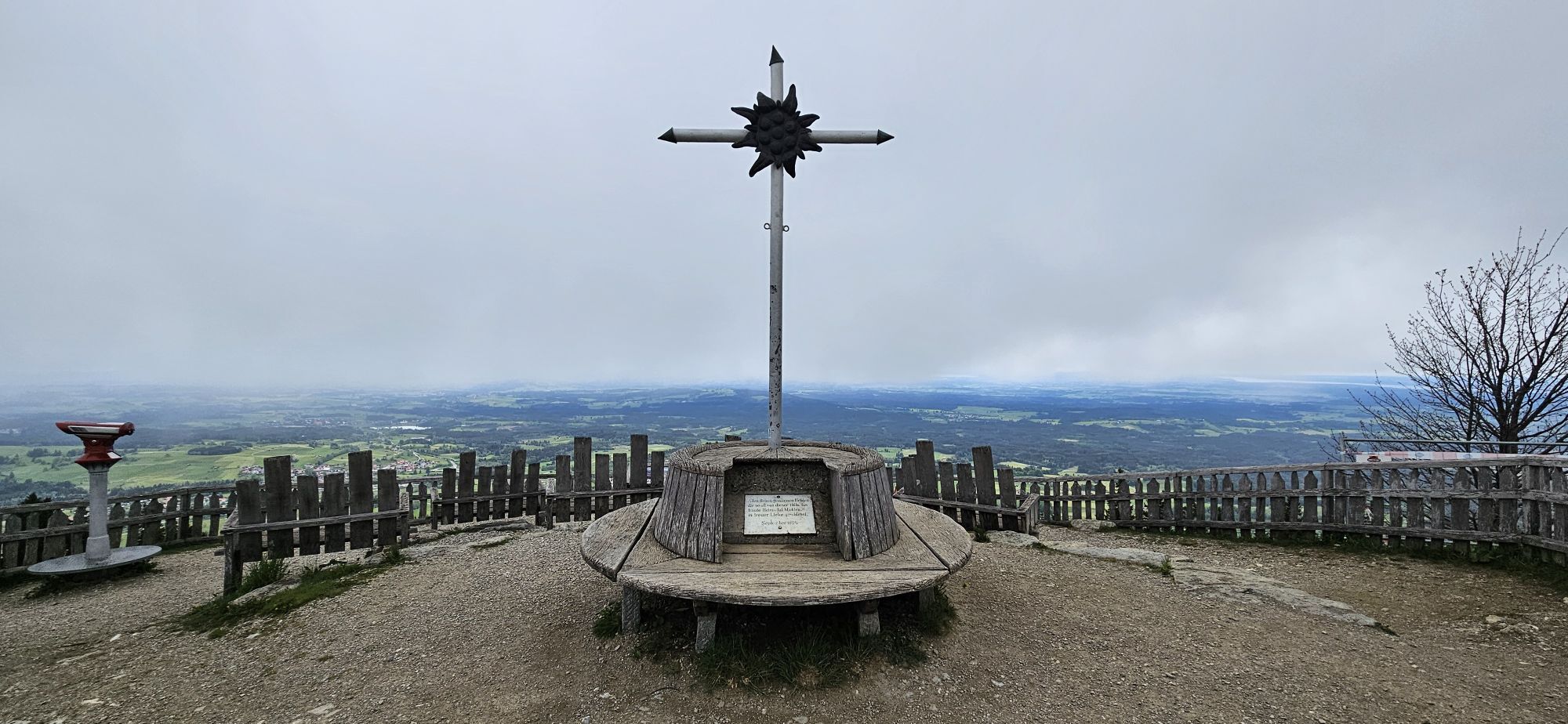
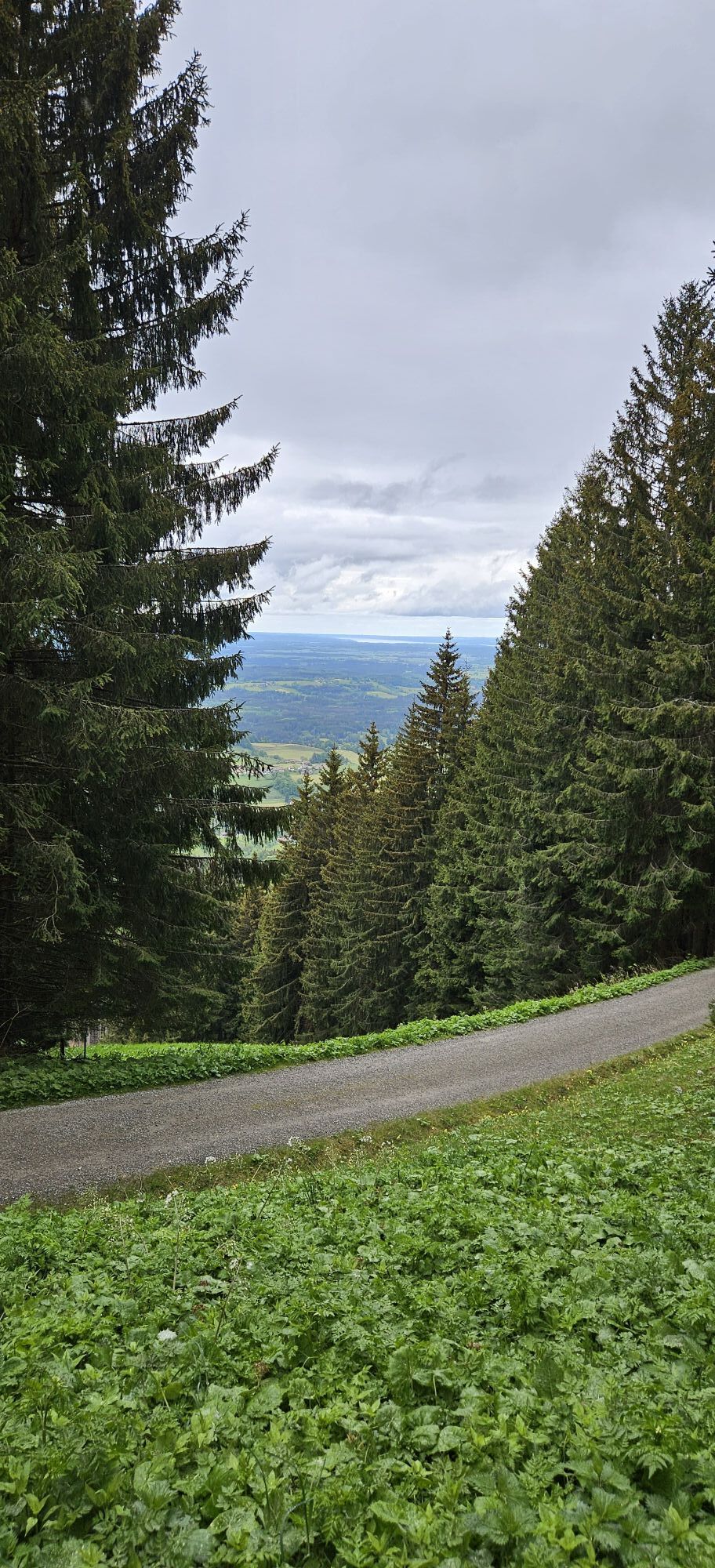
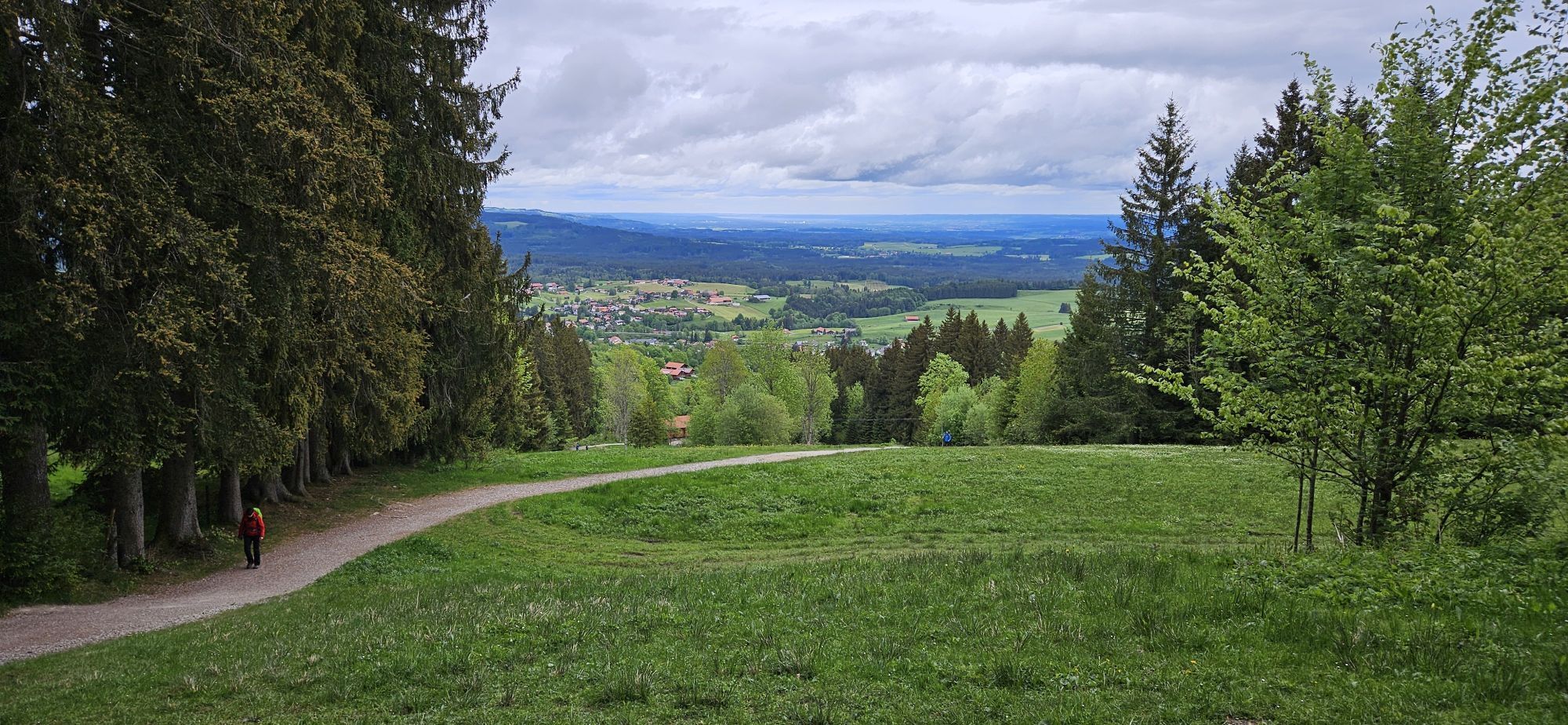
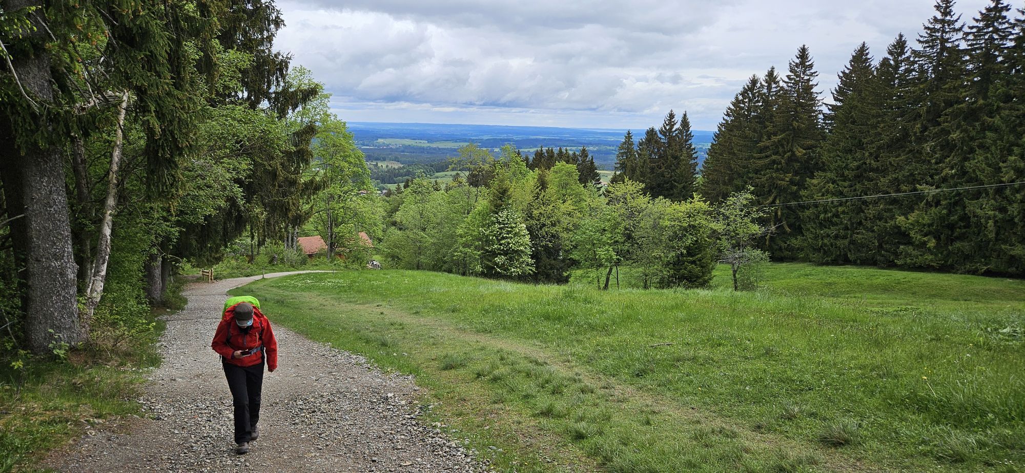
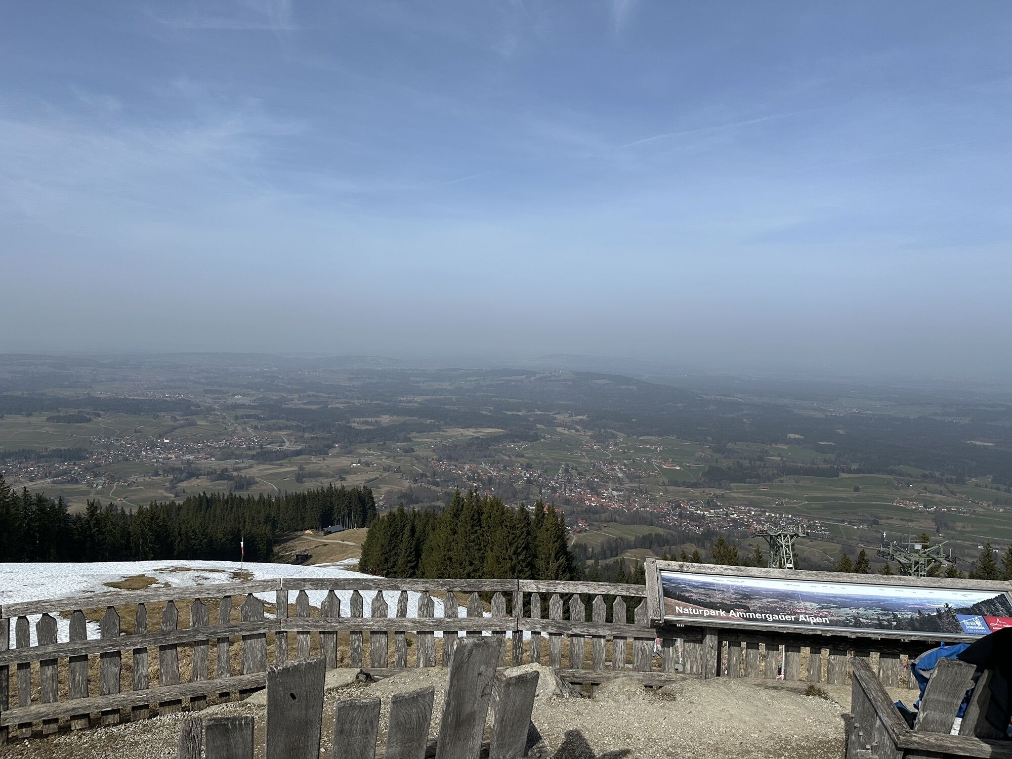
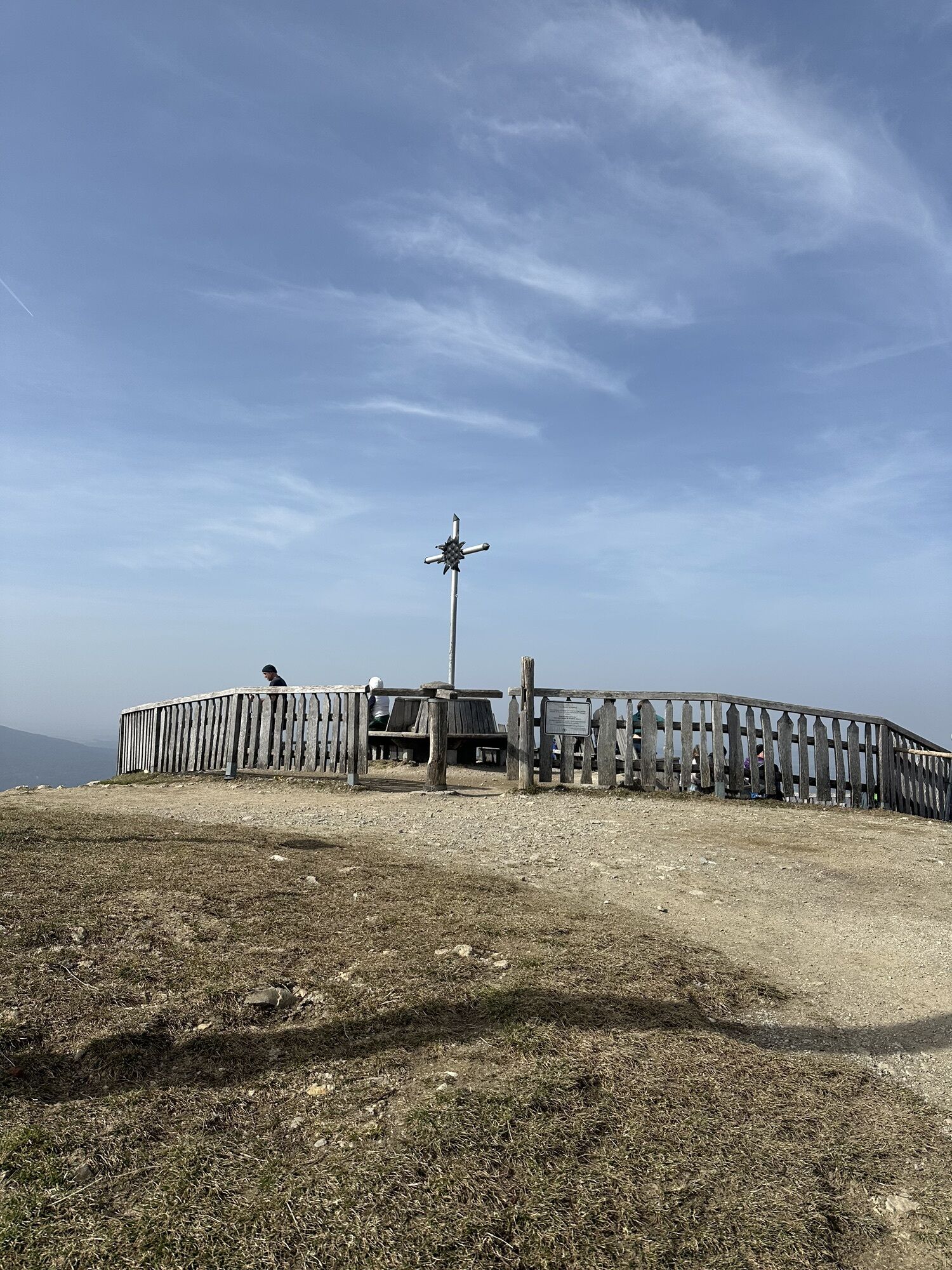
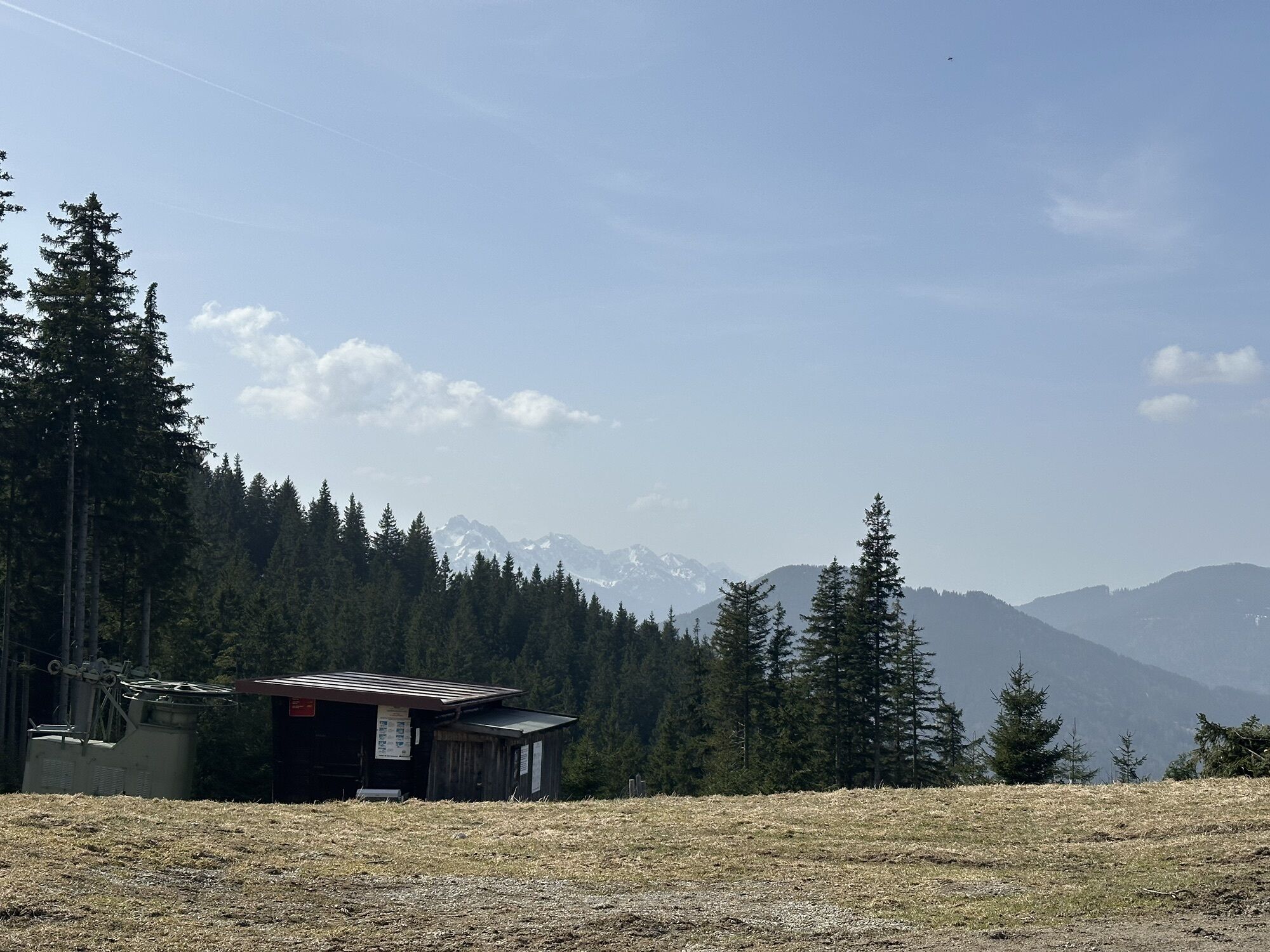
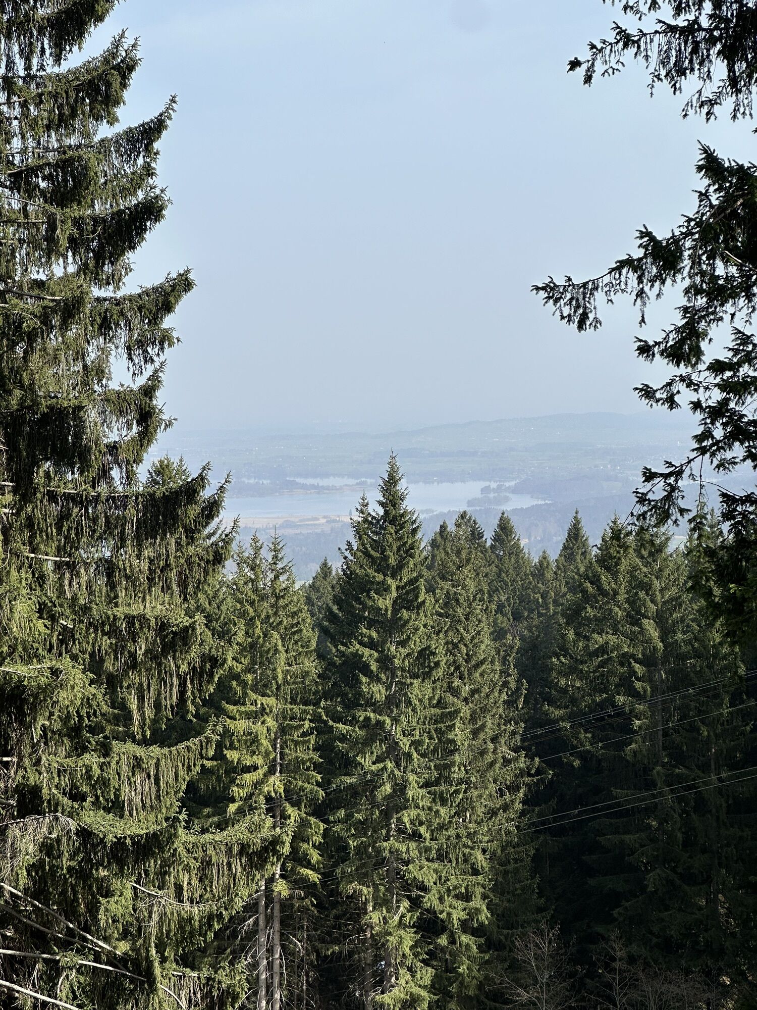
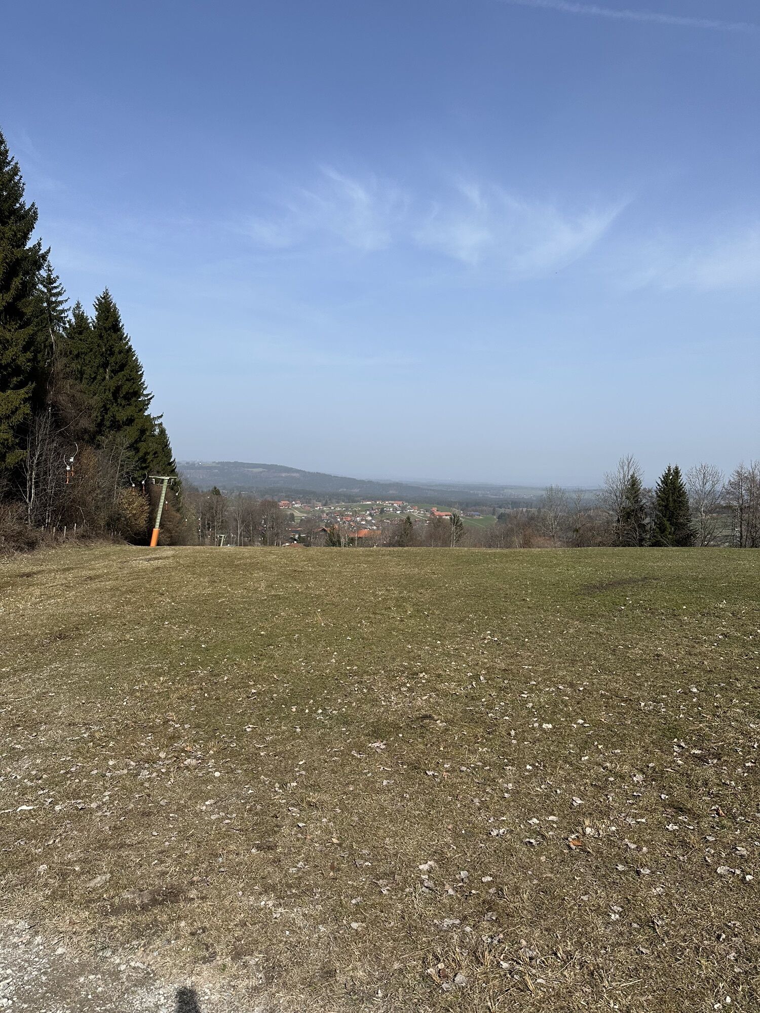
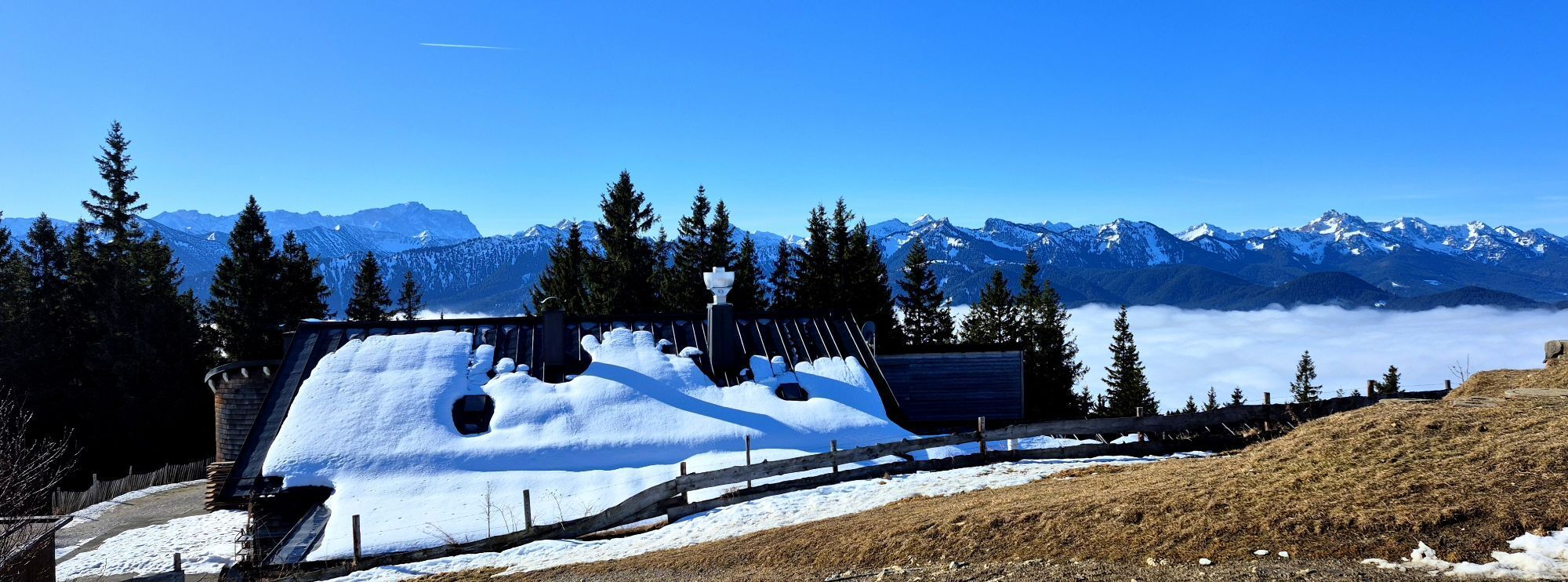
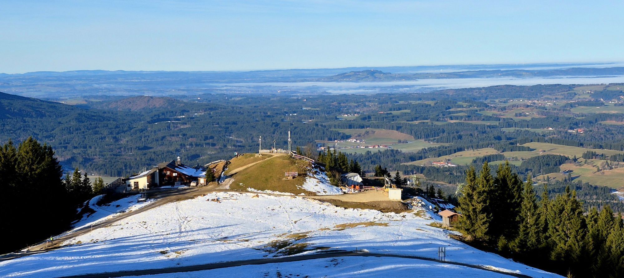
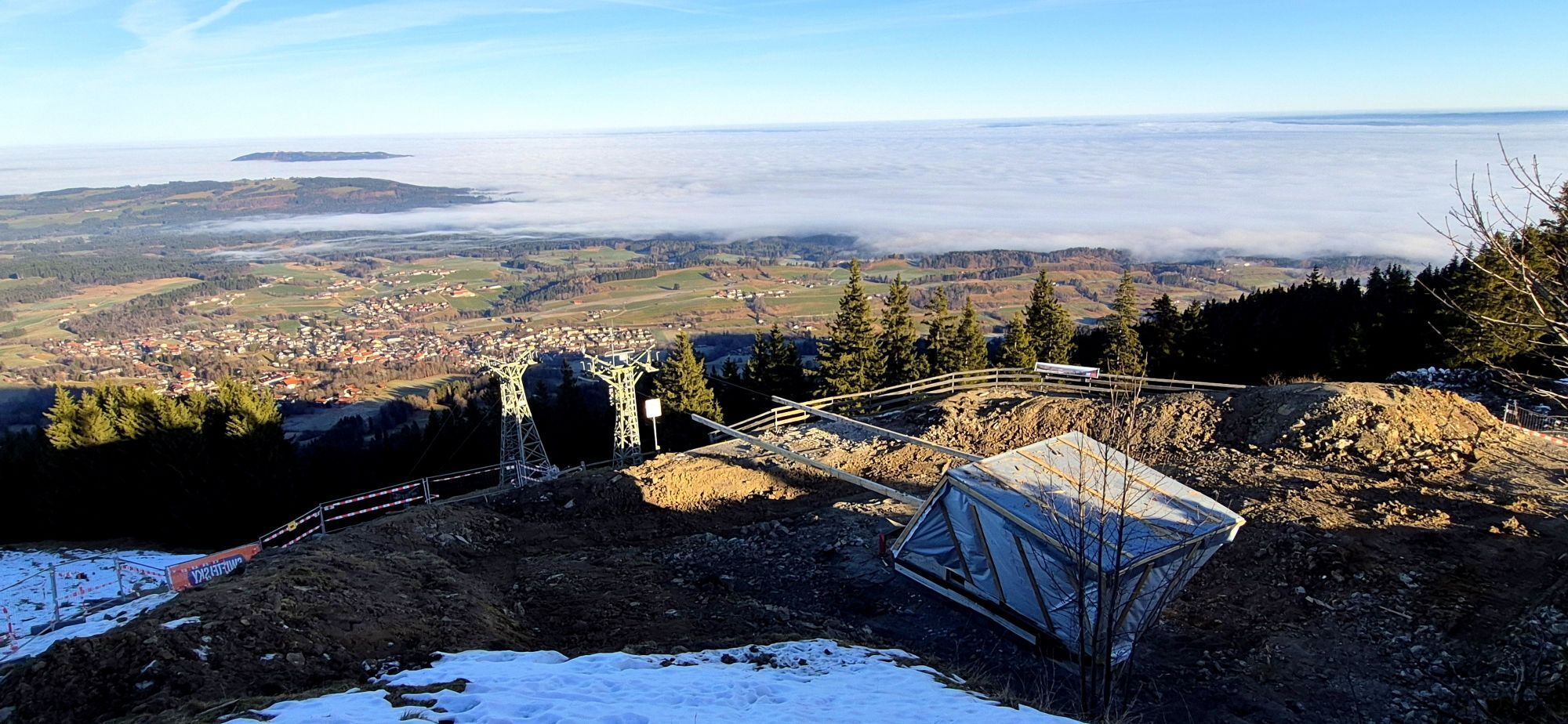
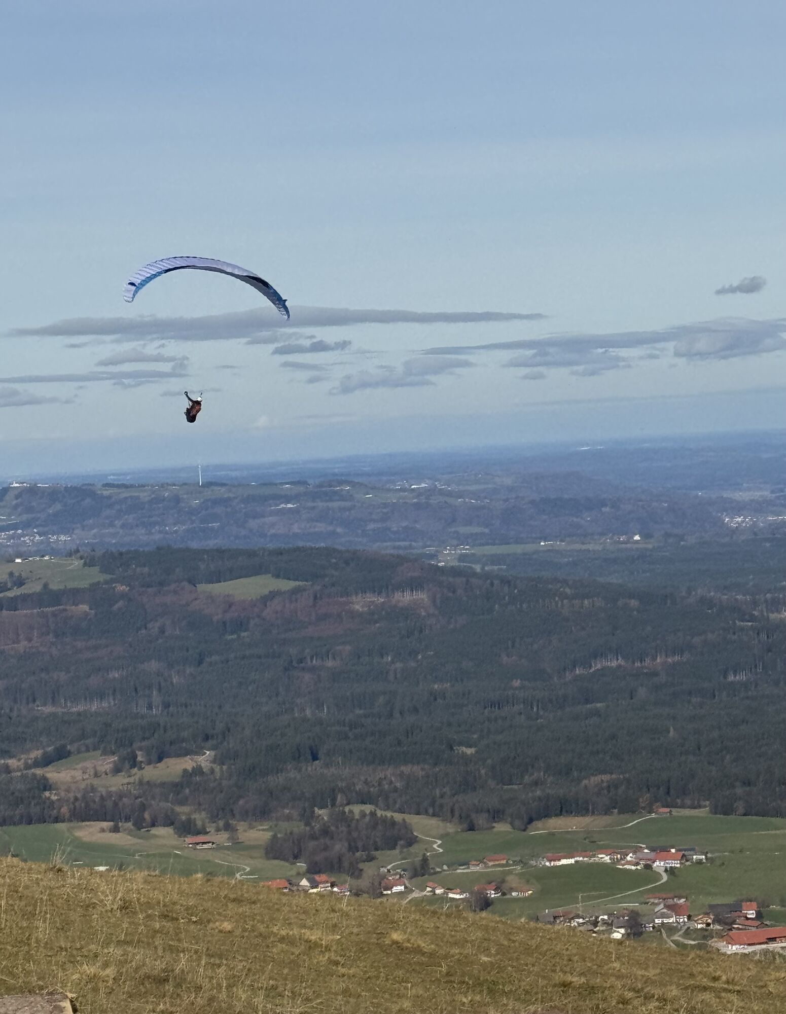
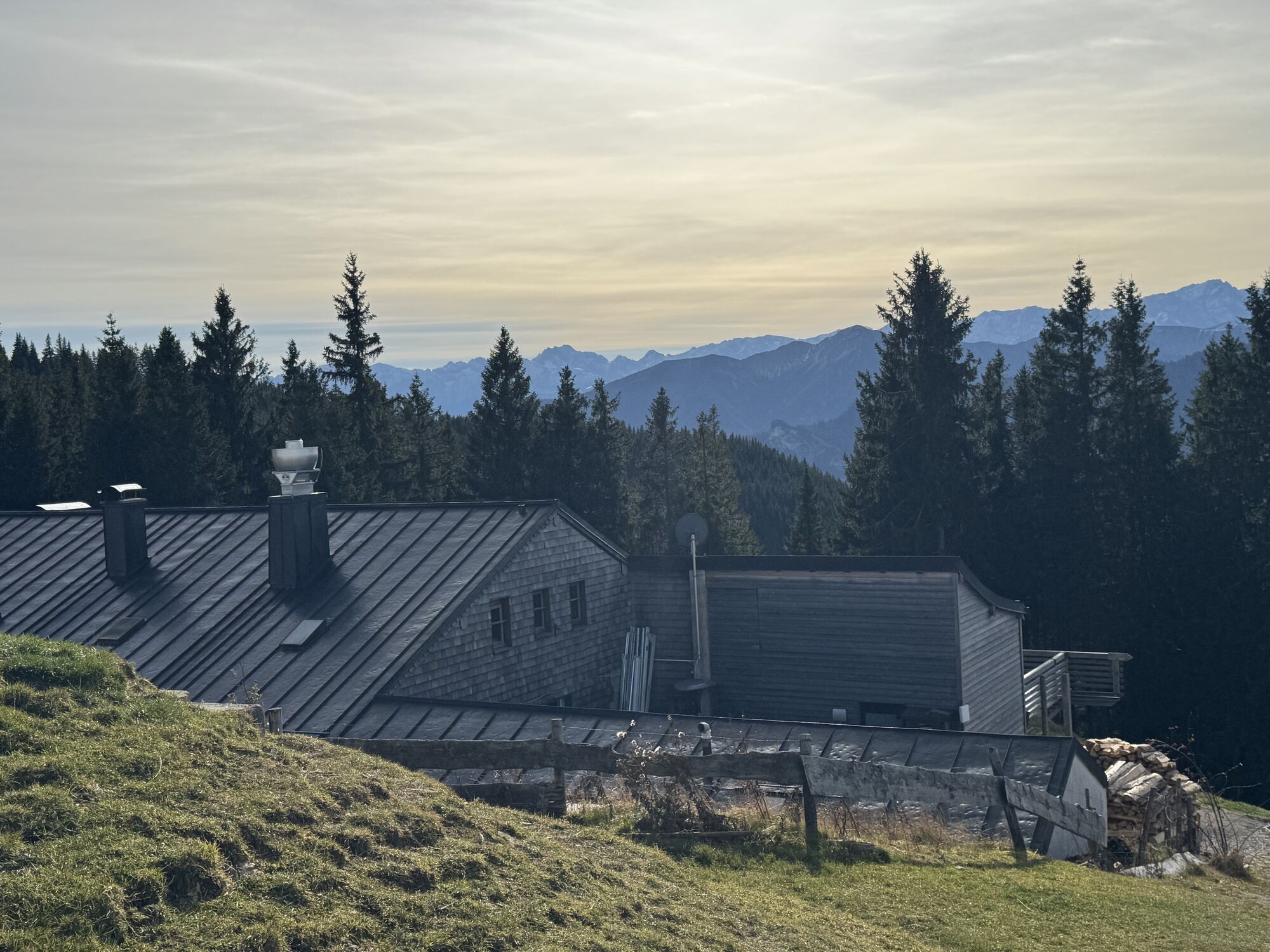
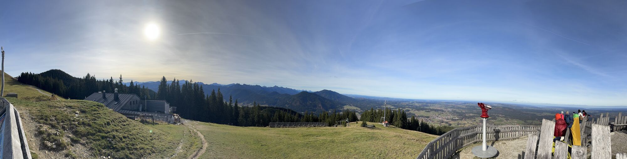
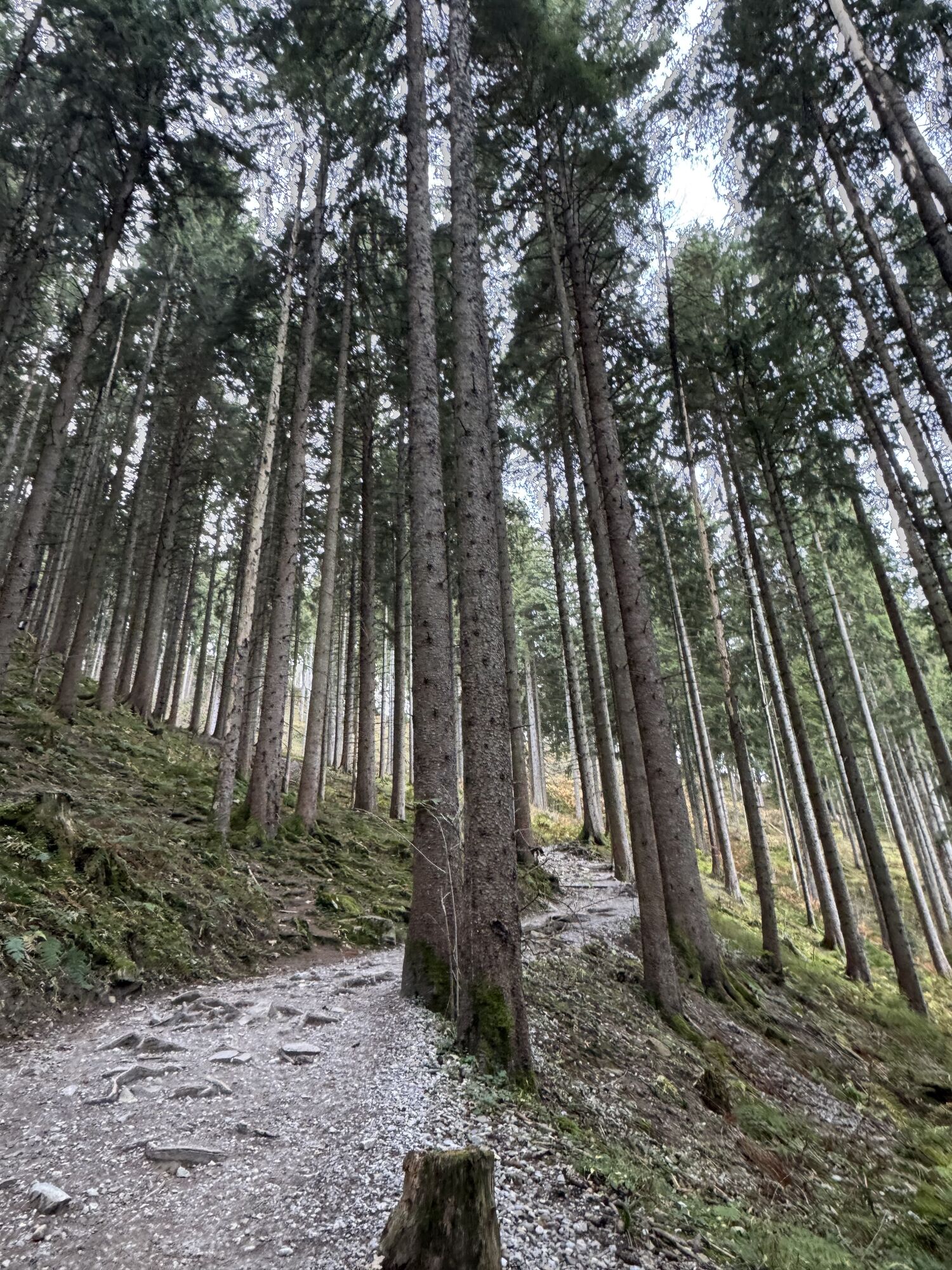
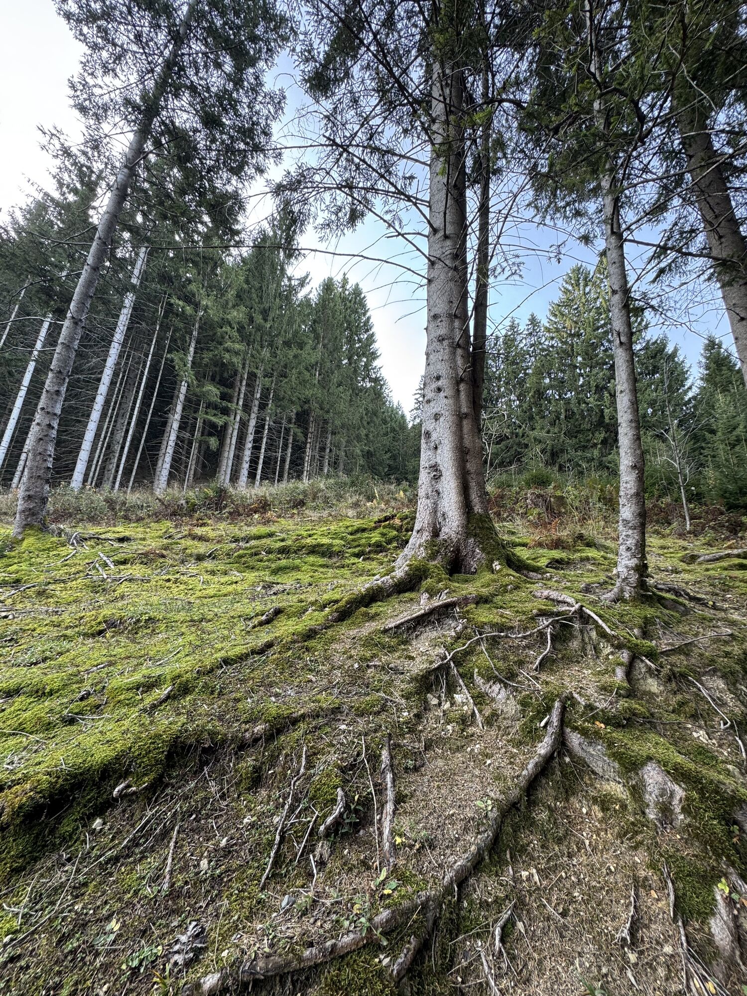
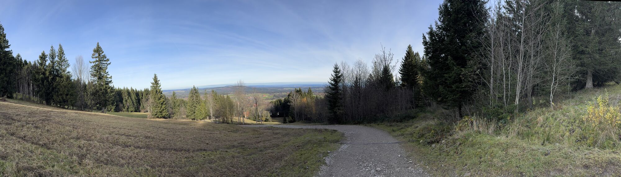
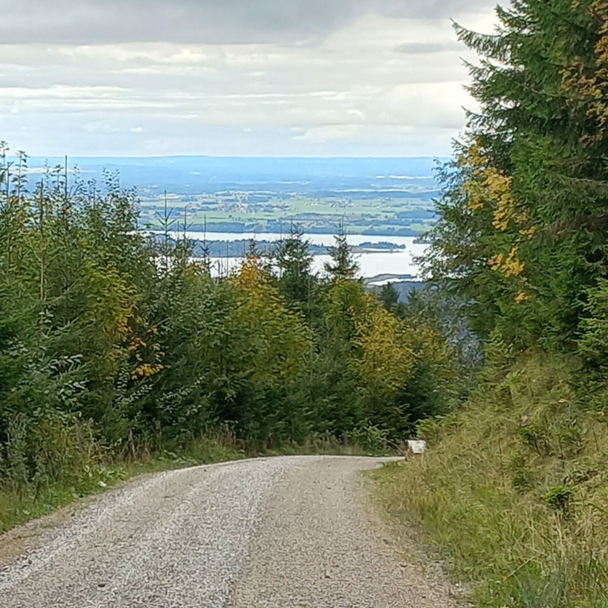

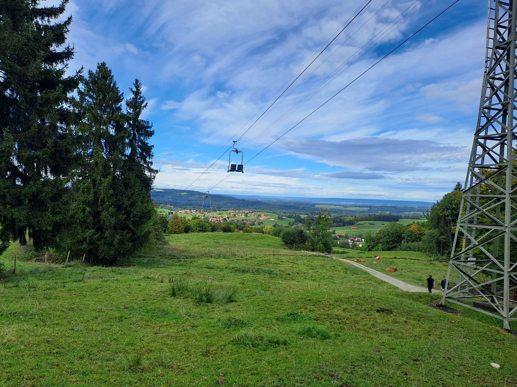
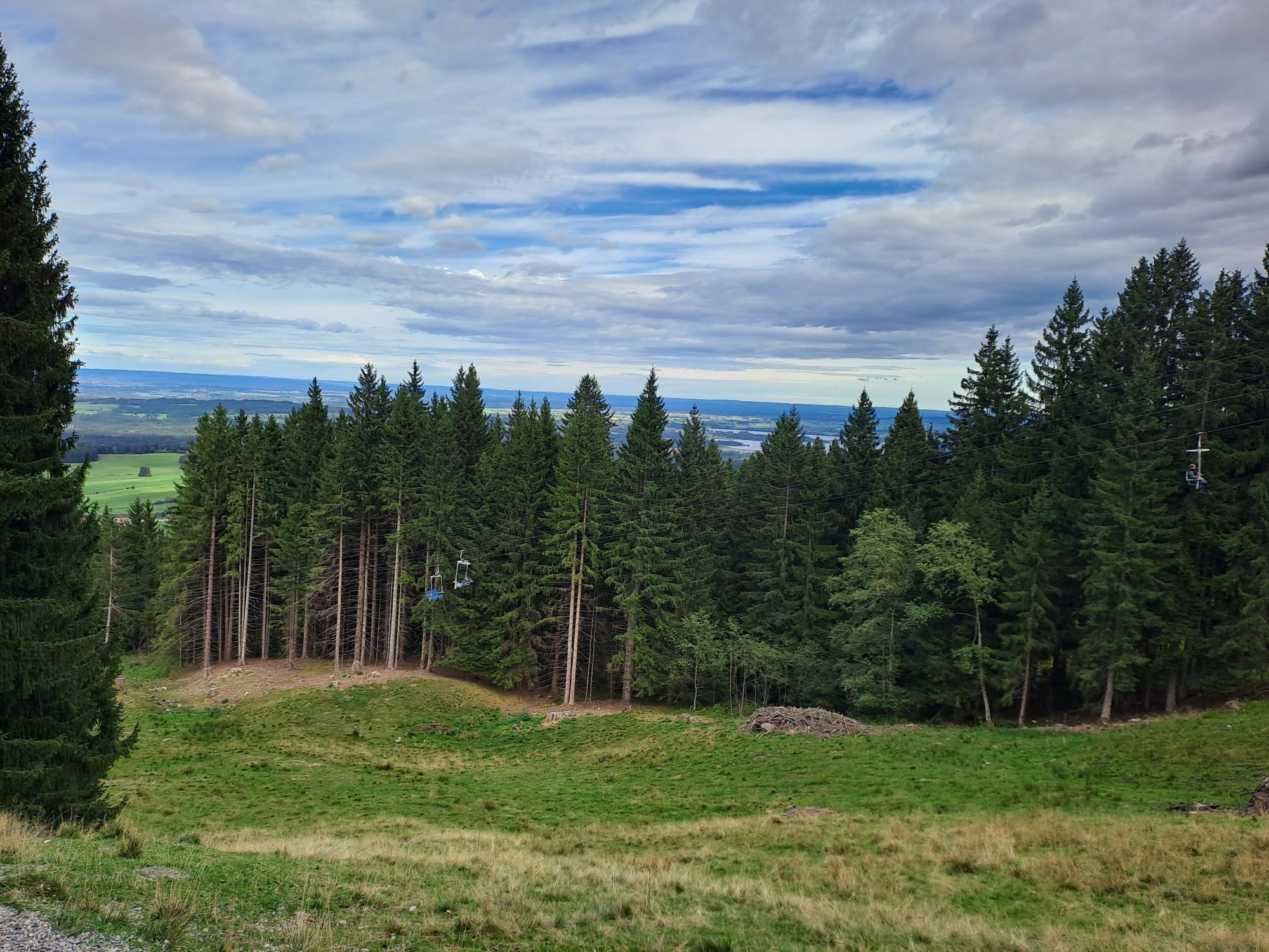
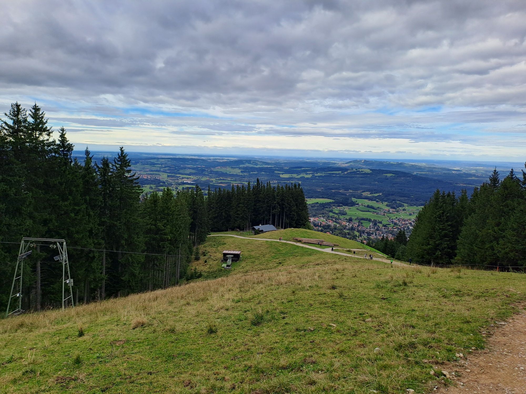
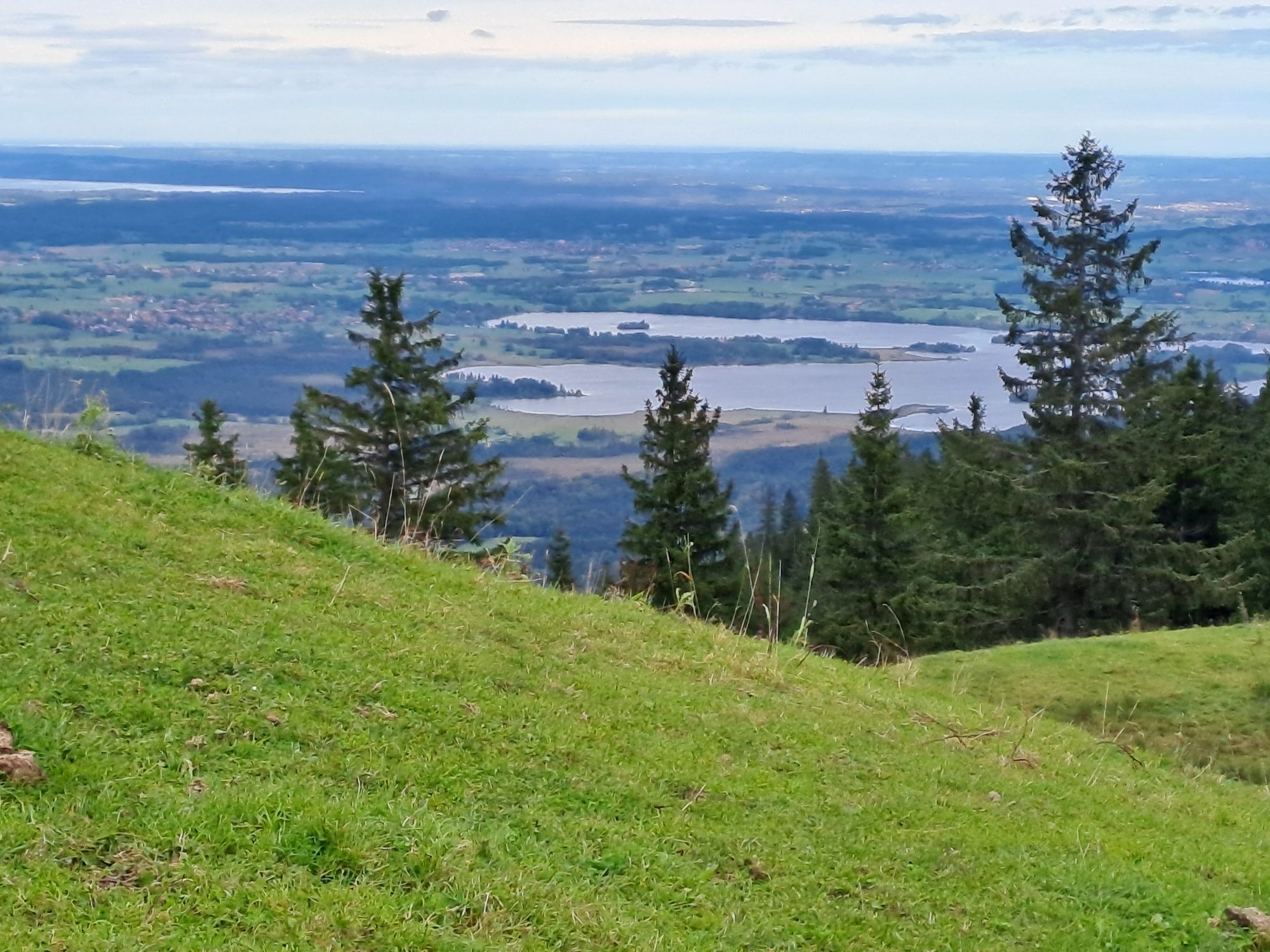

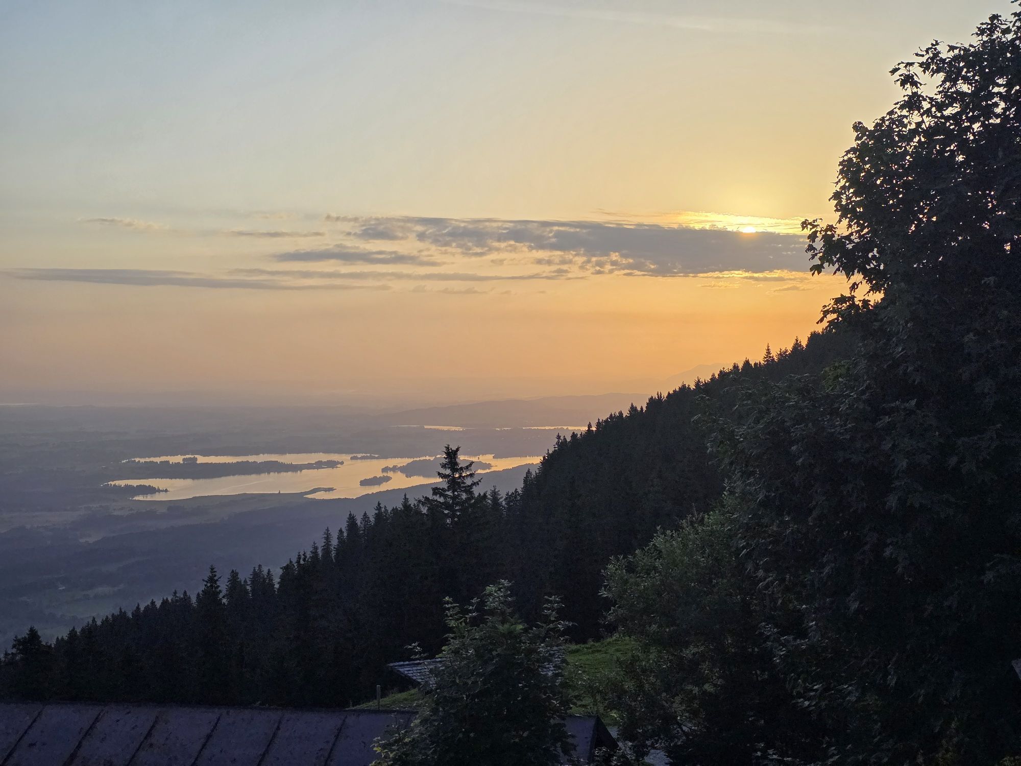

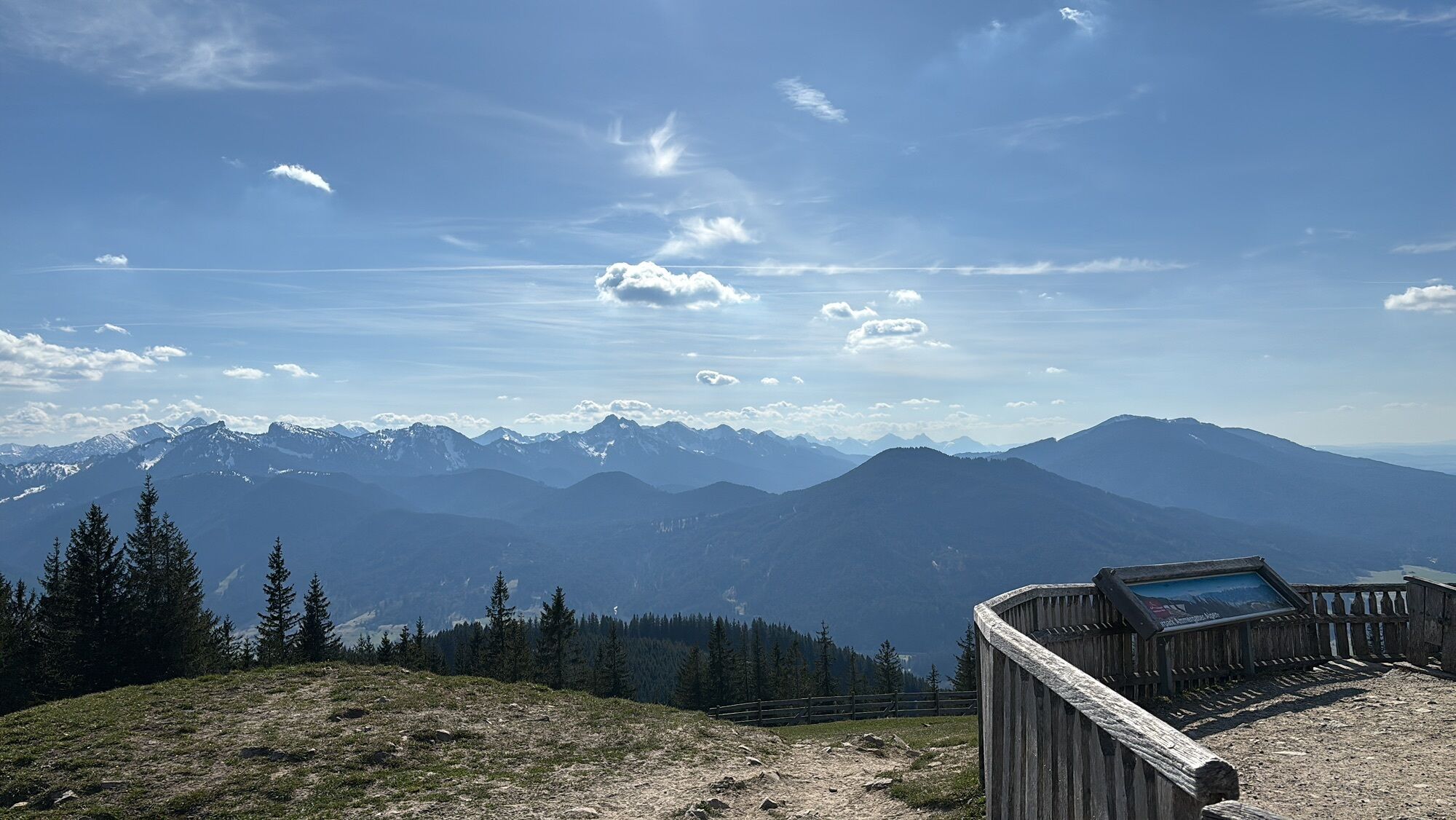
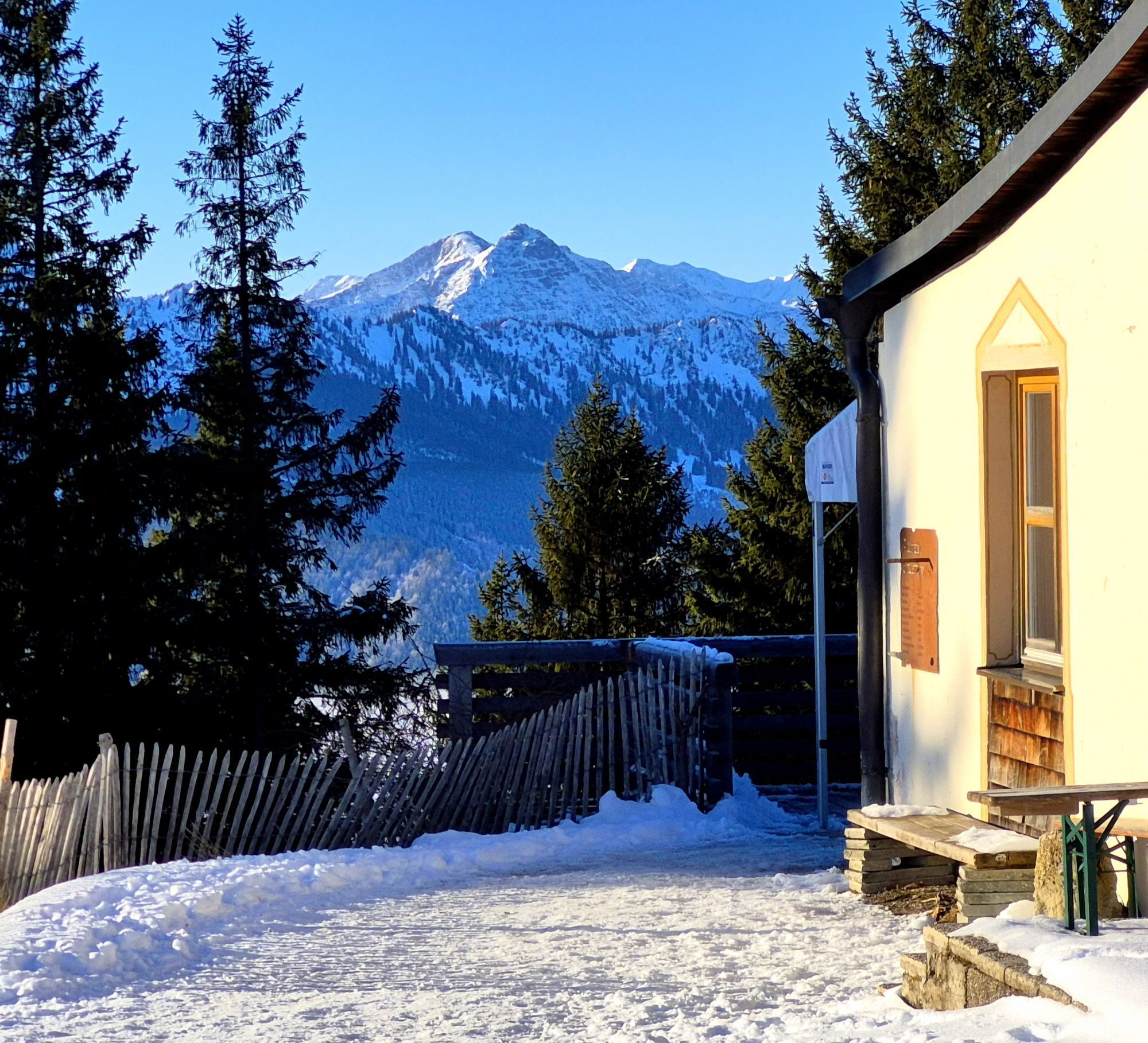
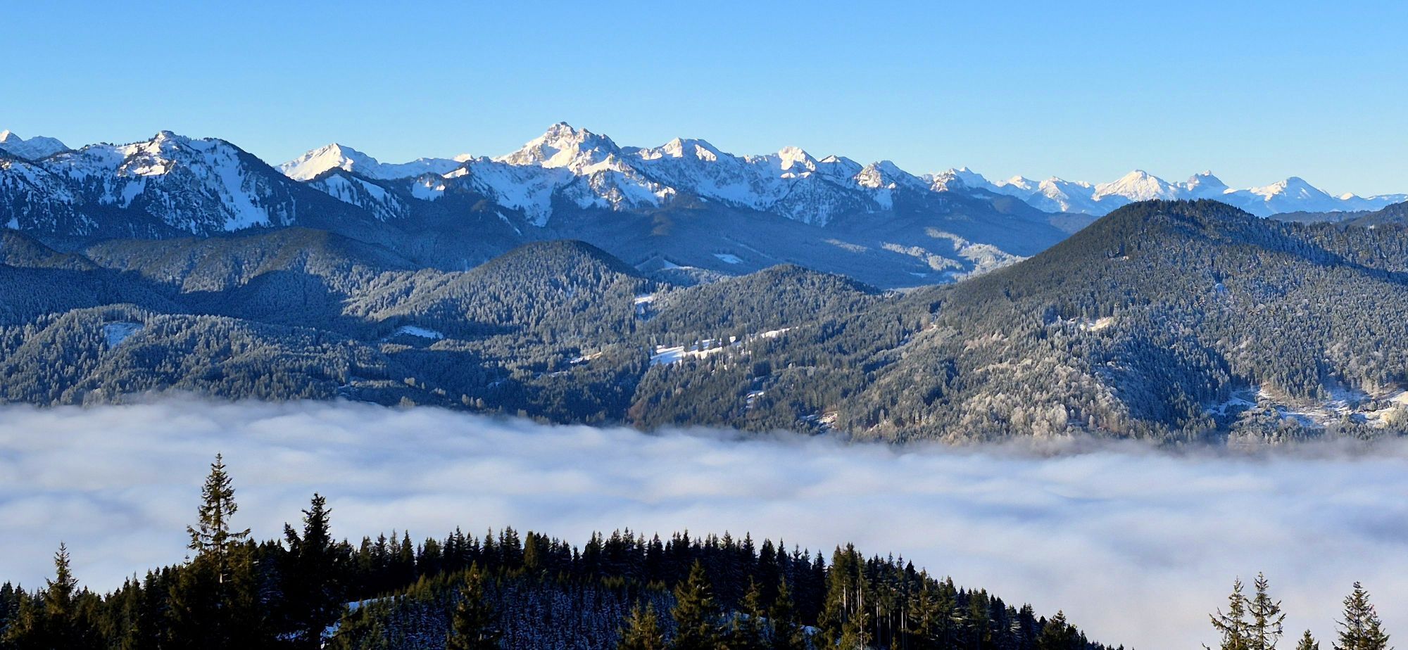
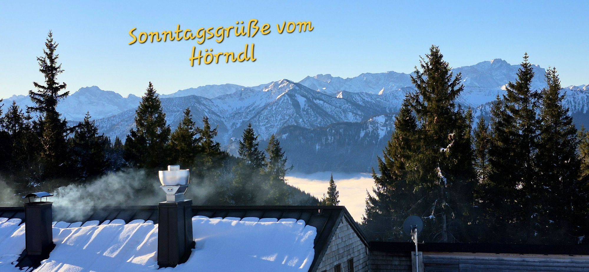

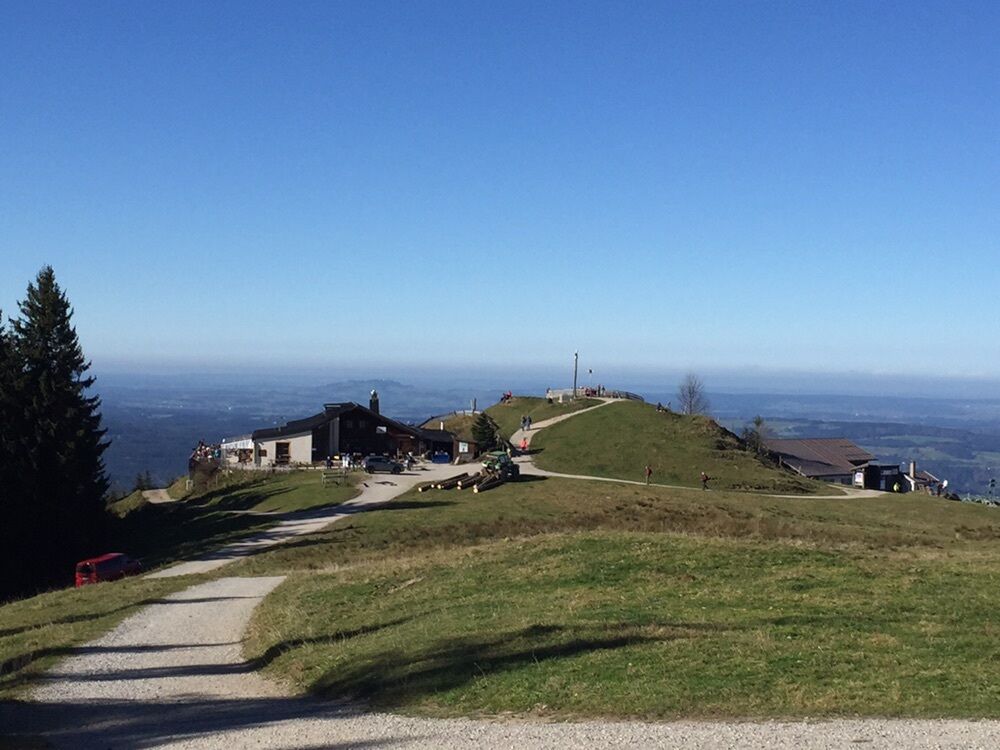
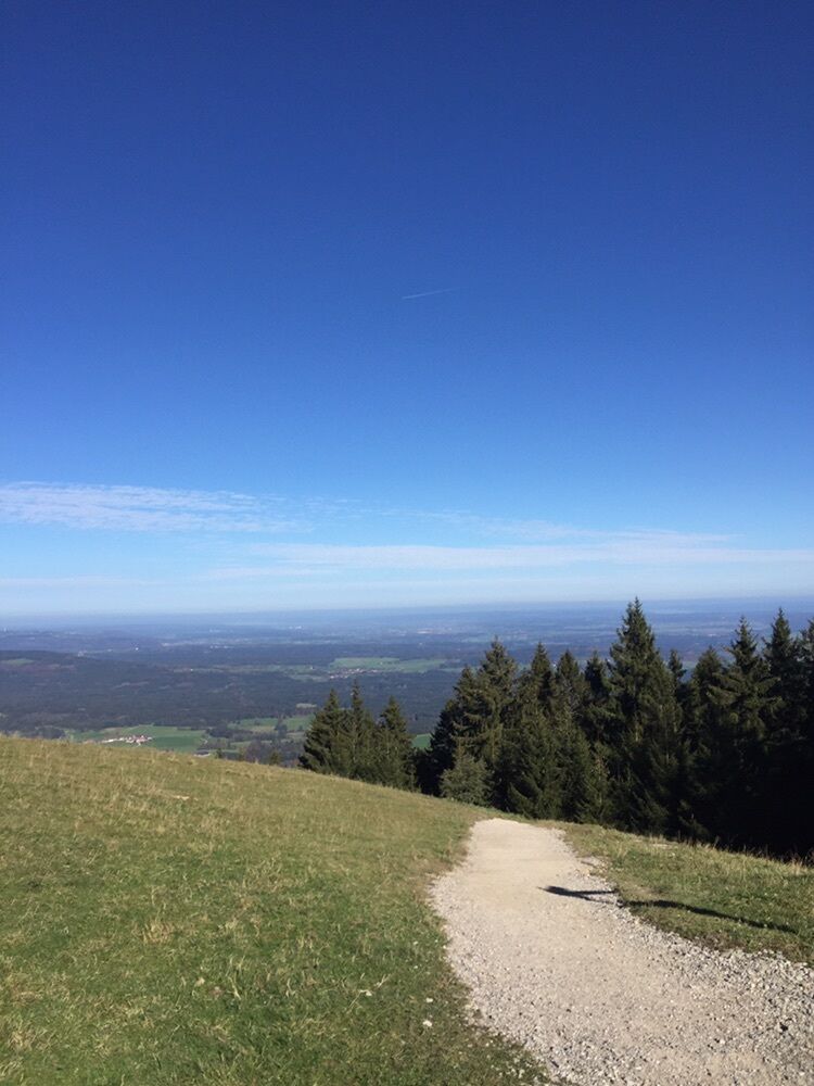

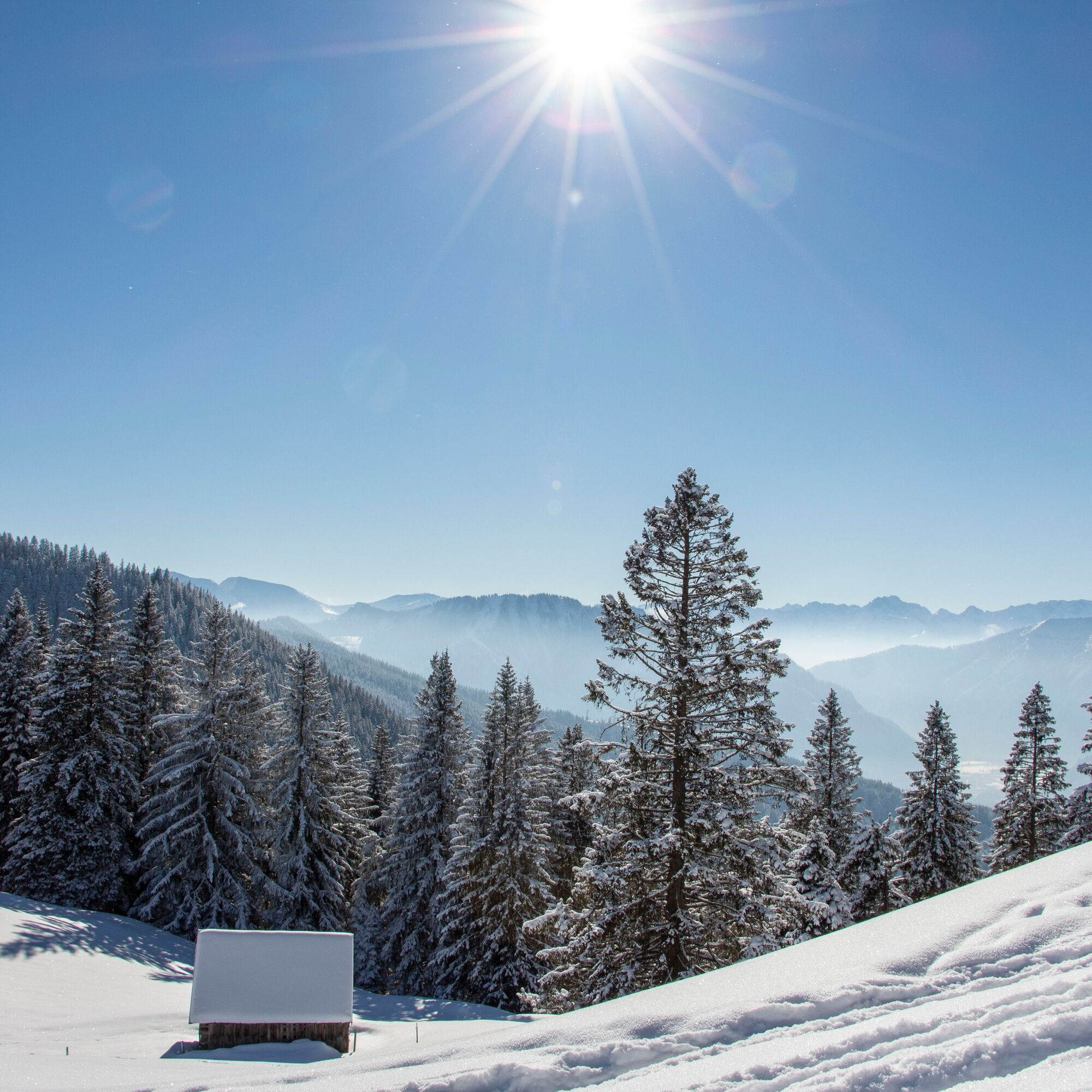
The Hörnle is the local mountain of Bad Kohlgrub and lies at the "entrance" to the Naturpark Ammergauer Alpen. Therefore, the ascent offers magnificent views out over the Alpine foothills. After a refreshment...
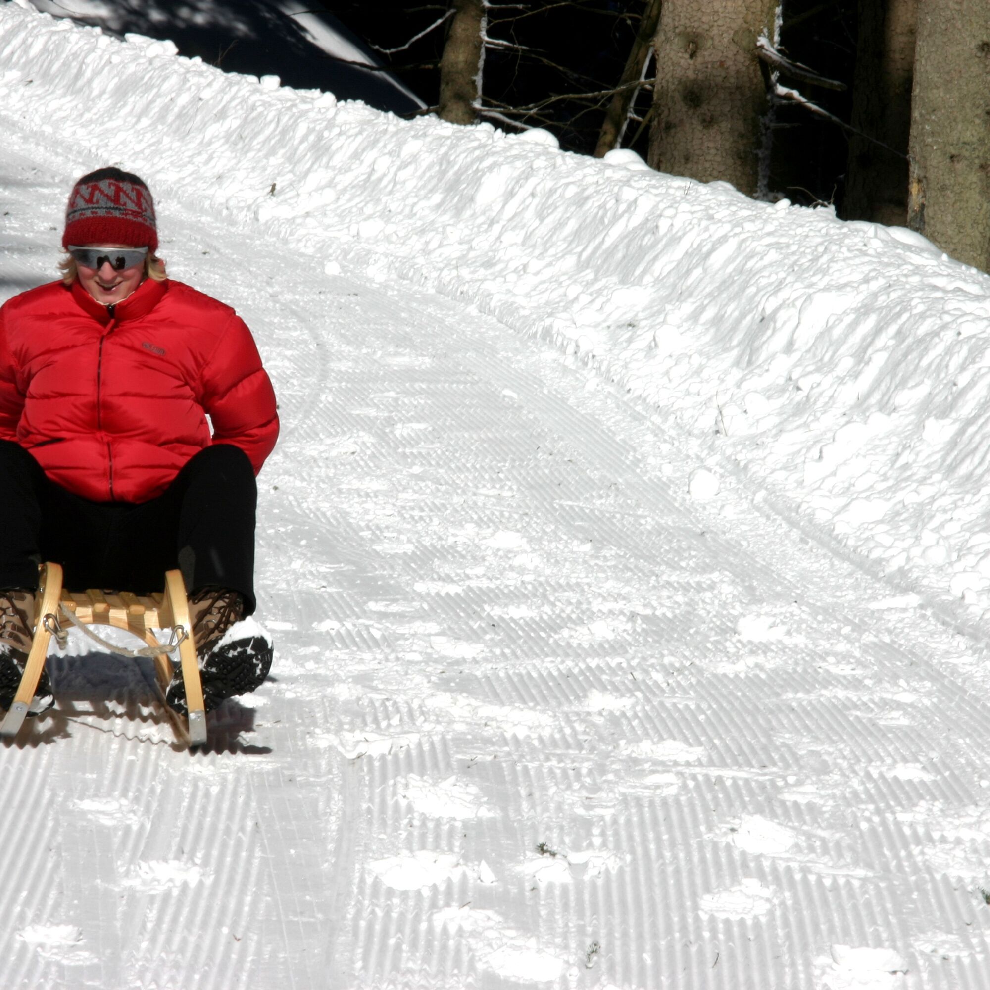
The Hörnle is the local mountain of Bad Kohlgrub and lies at the "entrance" to the Naturpark Ammergauer Alpen. Therefore, the ascent offers magnificent views out over the Alpine foothills. After a refreshment at the Hörnlehütte, enjoy a fast sled run back down to the valley.
Current conditions can be found on the Hörnle cable car website https://www.hoernlebahn.de/aktuelles
or take a look at the Hörnle webcam https://oberammergau.panomax.com/hoernlebahn
Please respect existing wildlife quiet zones and avoid the time between dusk and dawn, as wildlife is especially sensitive to disturbances during these times.

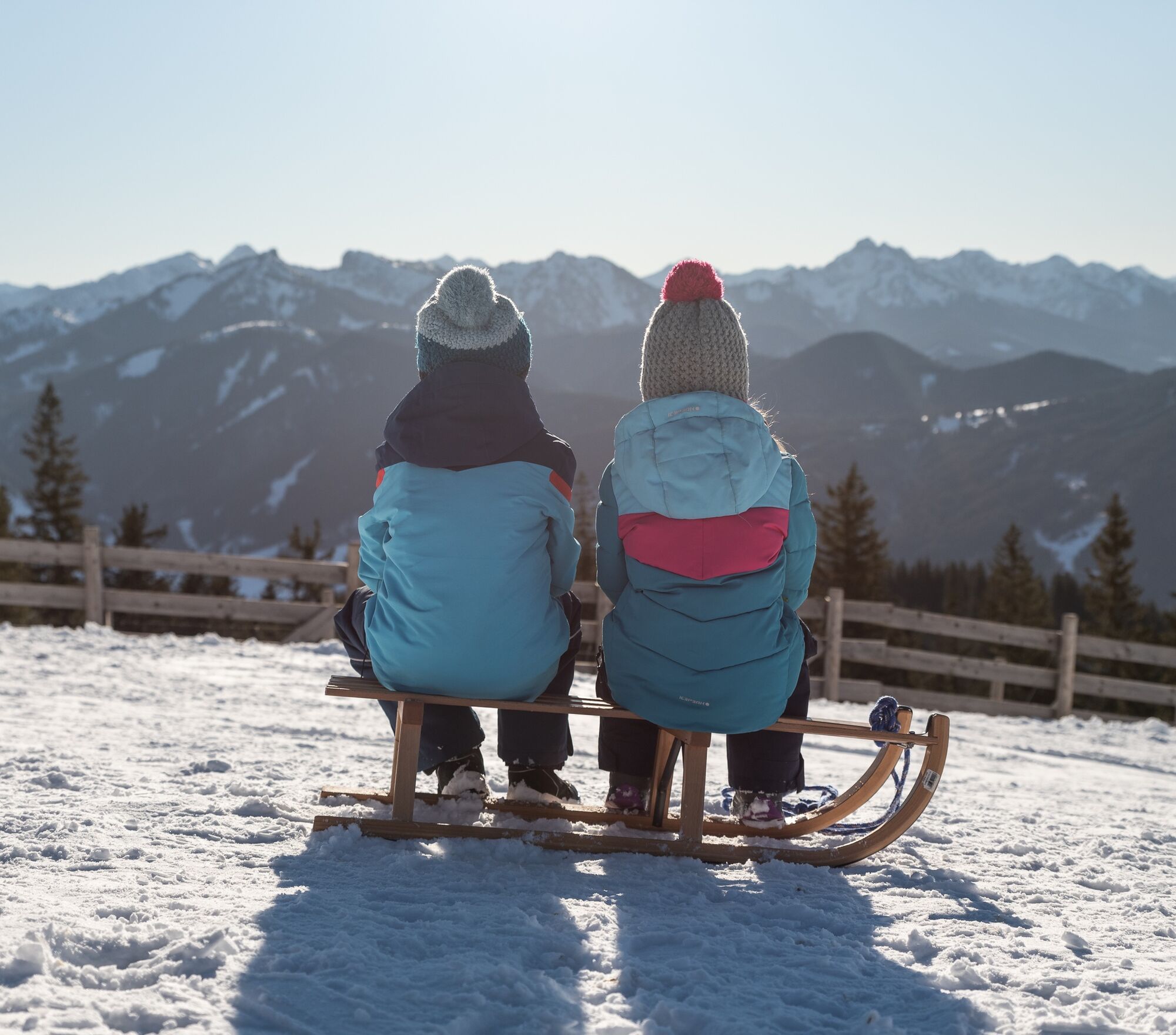
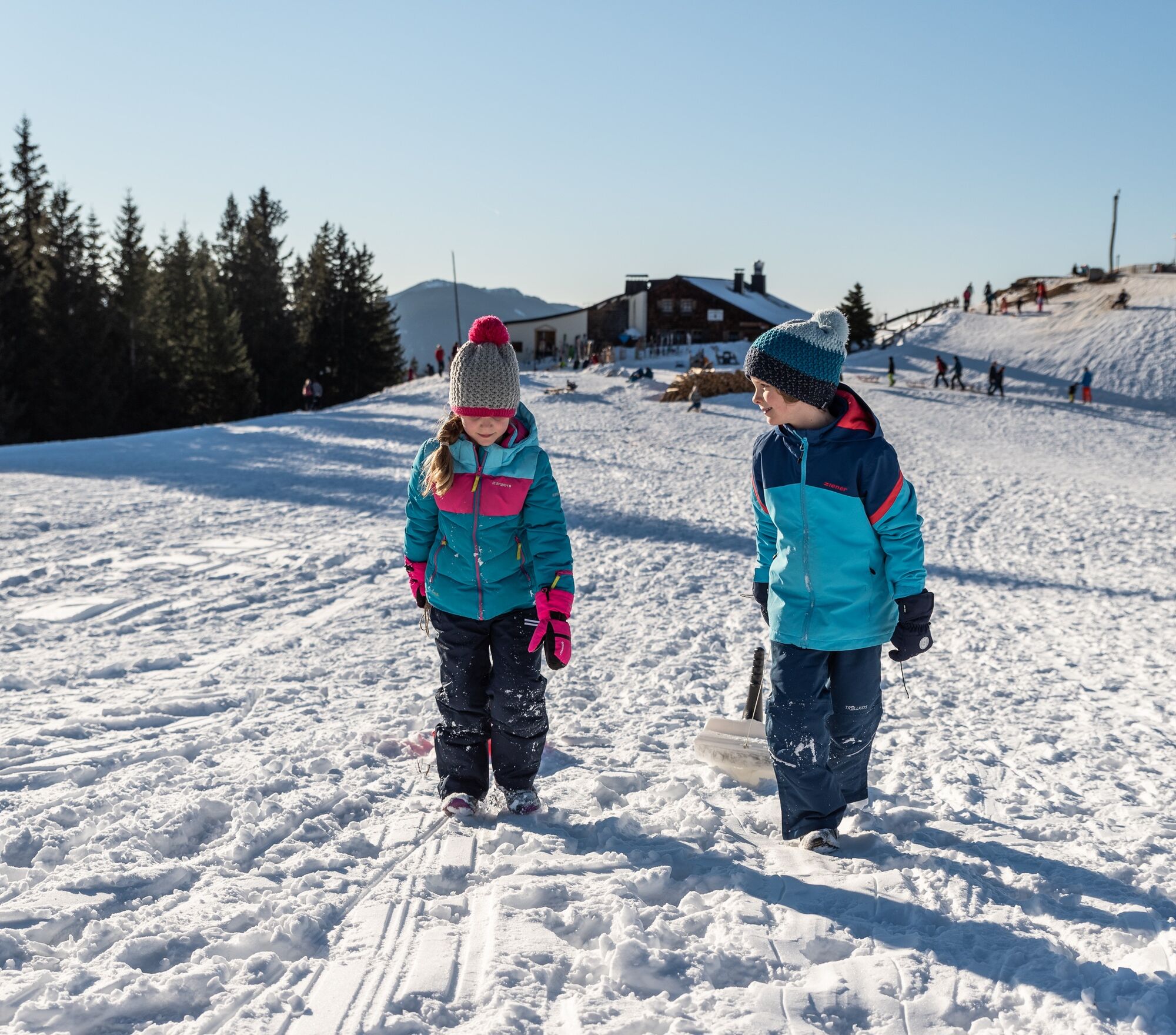
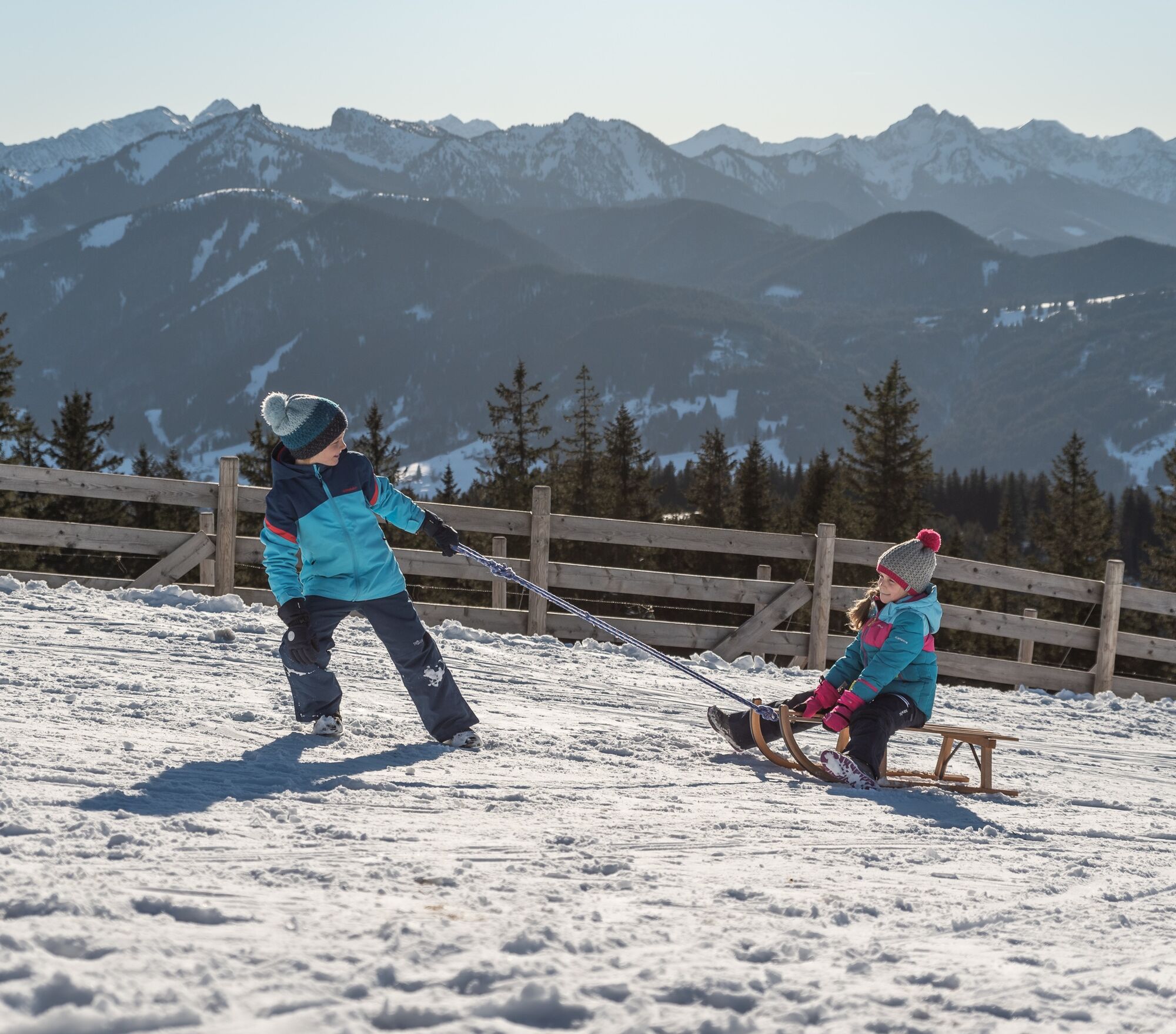
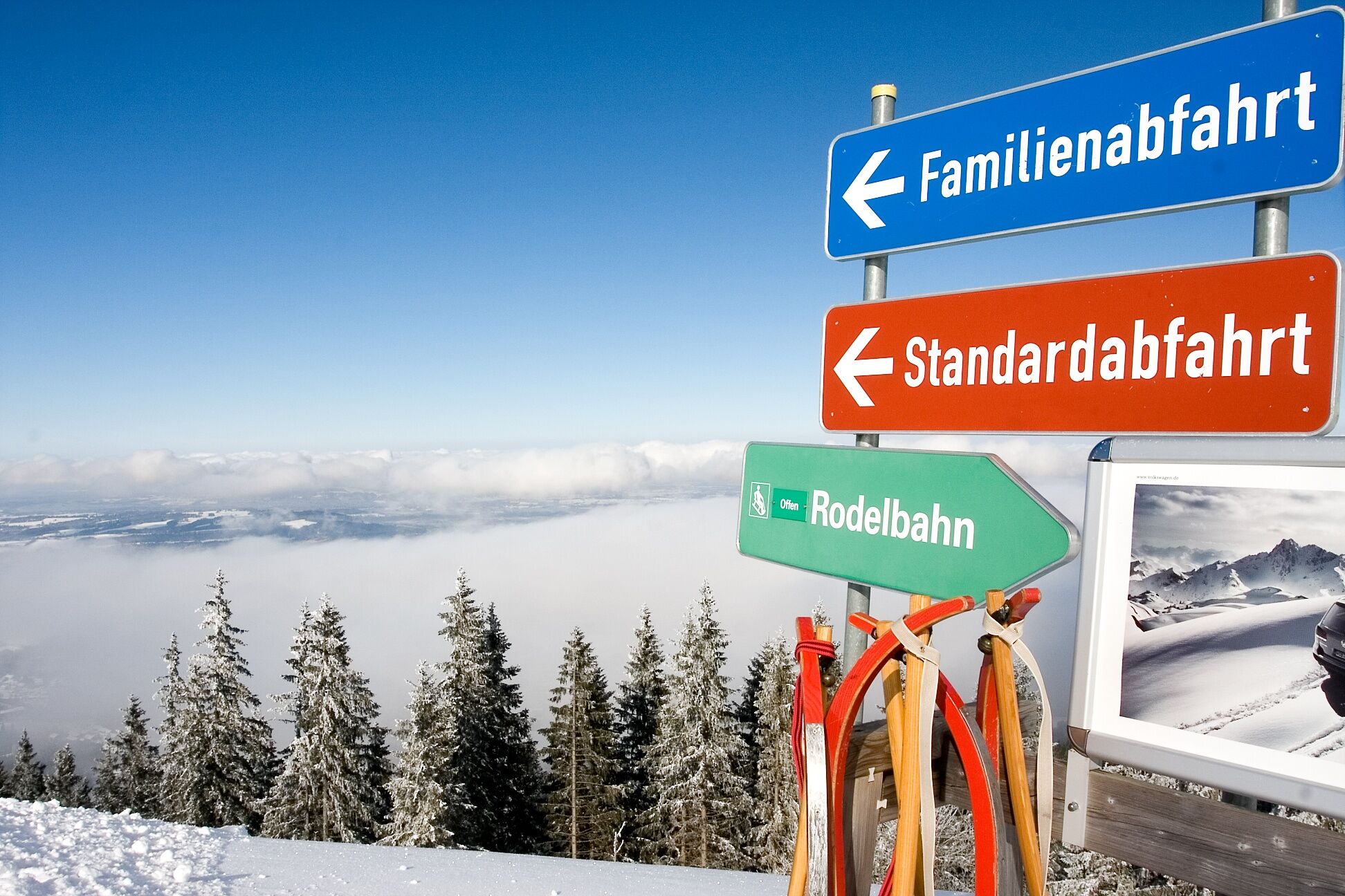
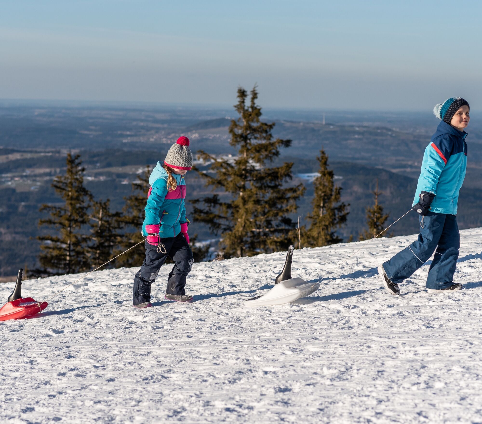
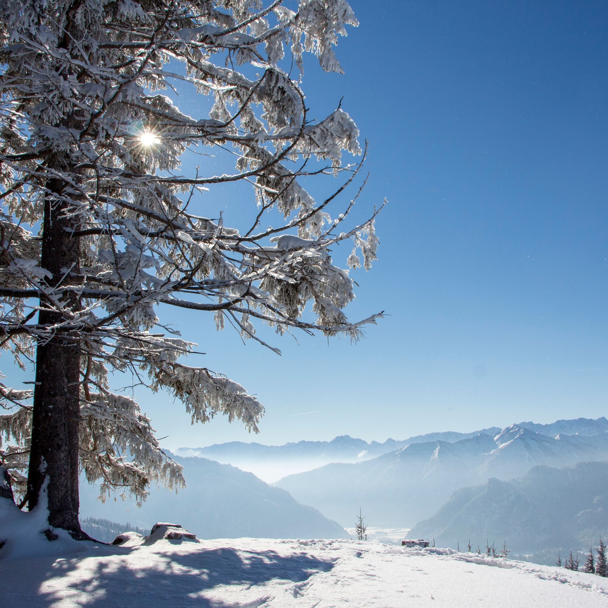
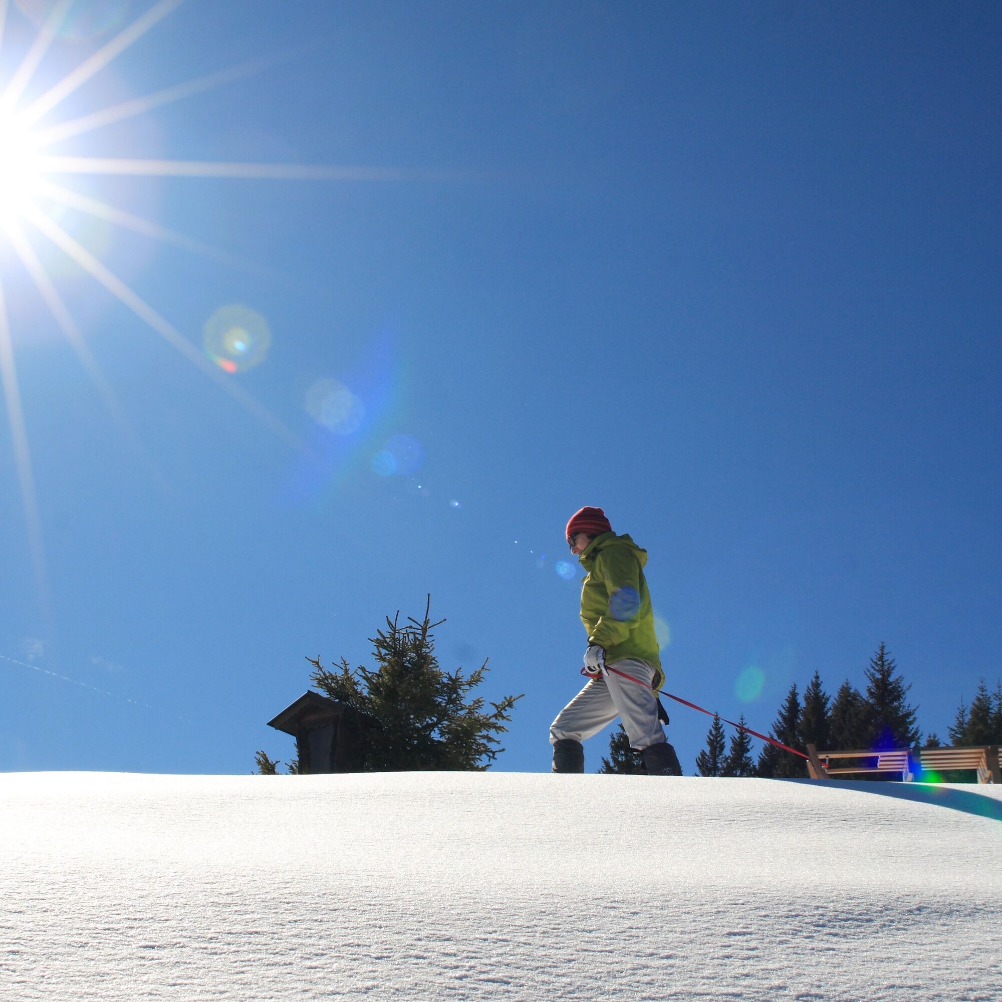
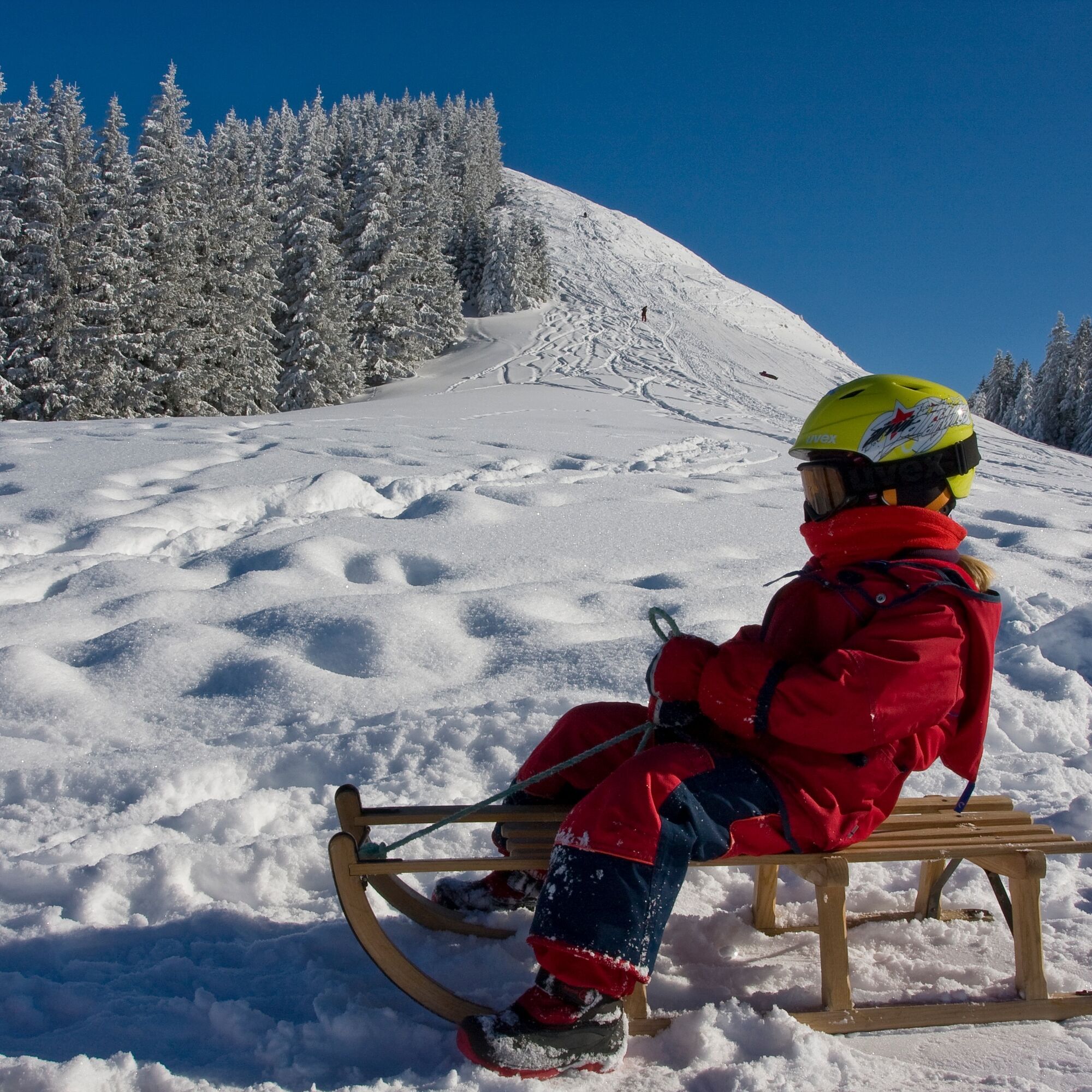
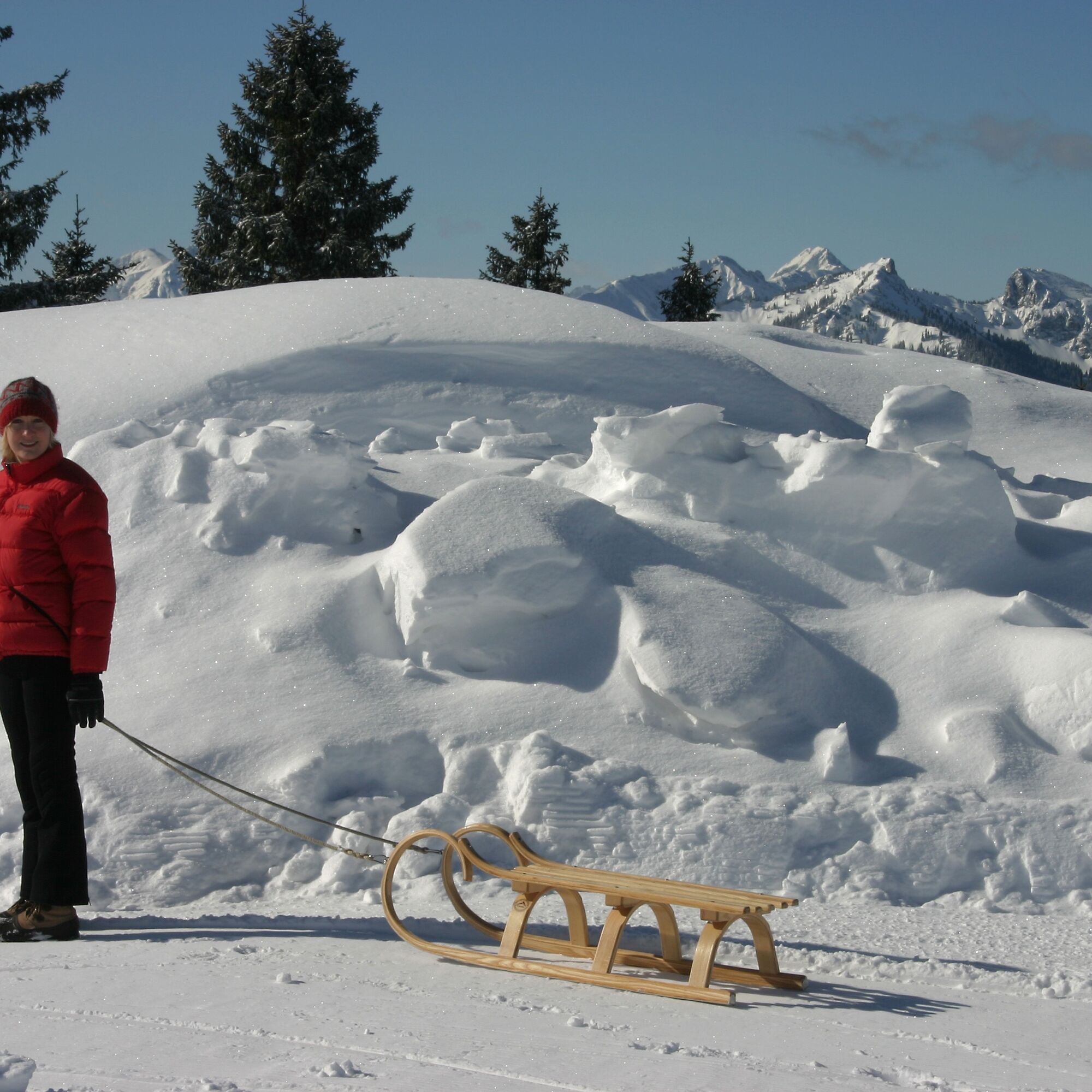
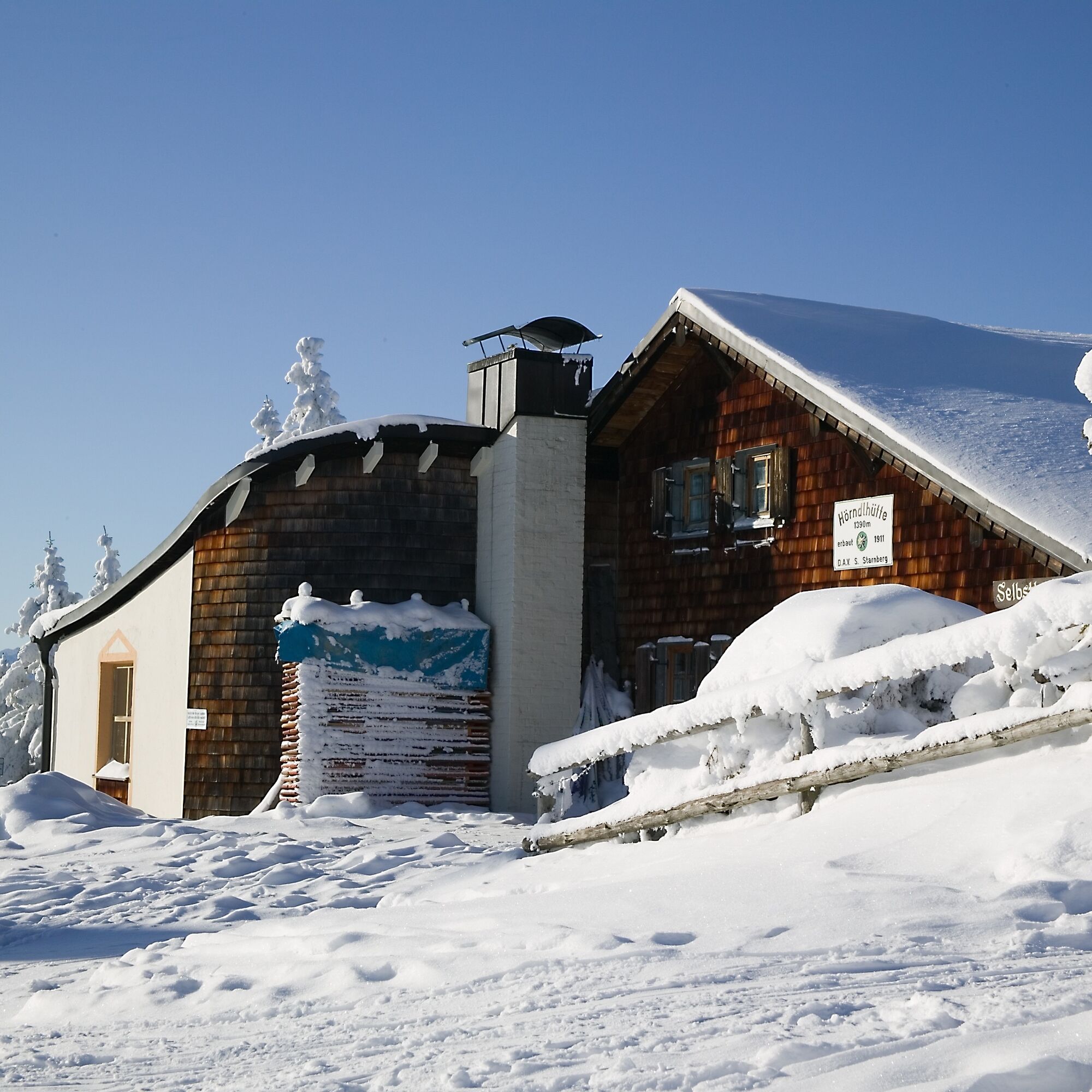

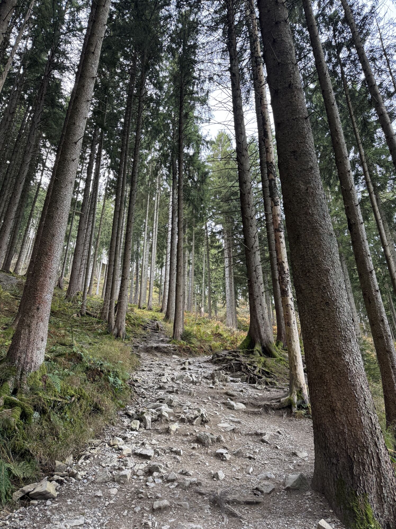
The ascent on foot follows the summer hiking trail up to the (Vordere) Hörnle. This trail is also easily walkable in winter except after extreme fresh snow and is better than the forest road, where you will encounter sledders coming down.
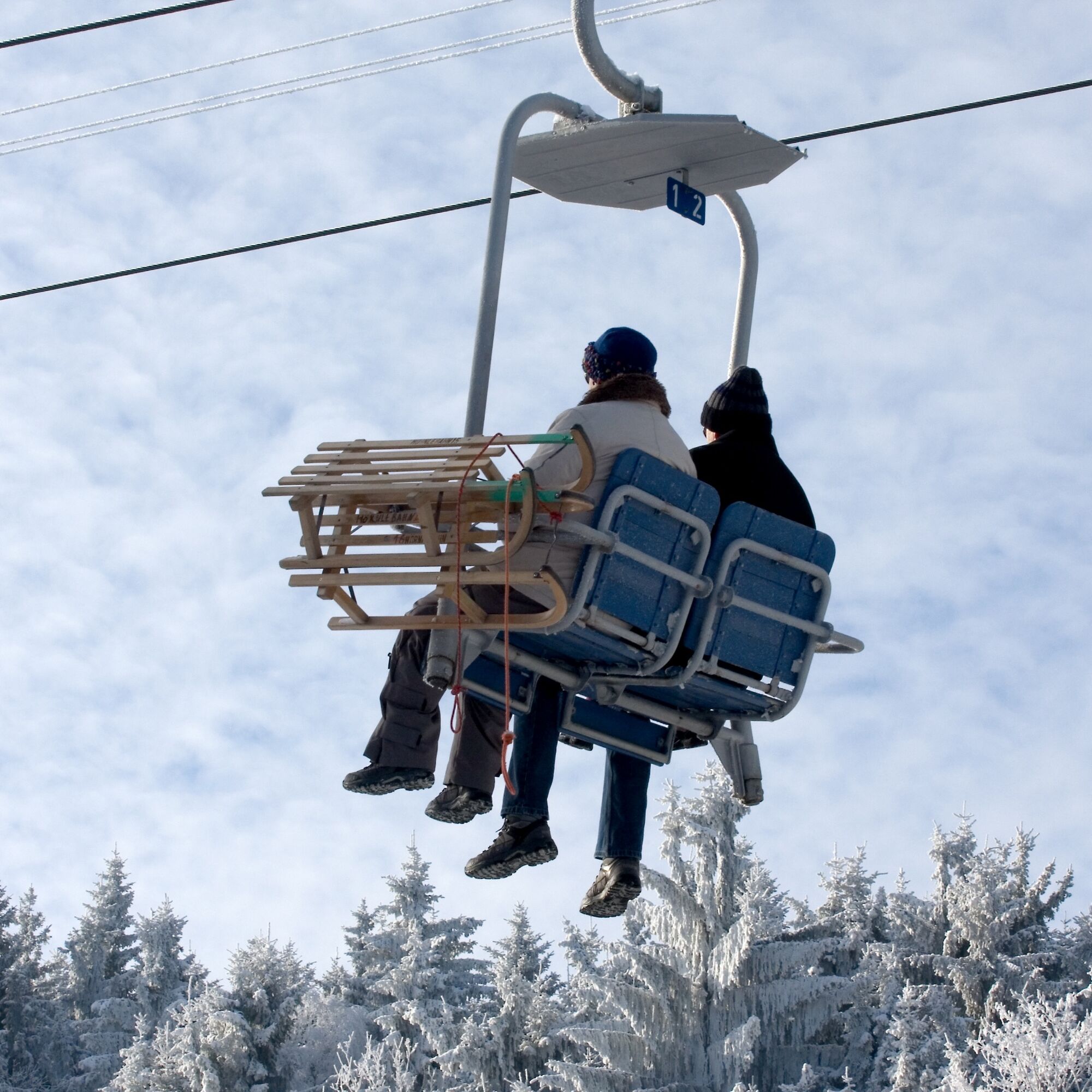
However, the easiest and most comfortable way up is with the Hörnle cable car. That way, the descent is even more fun, and there might even be time for additional runs.
Da
Da
With the perfect equipment, your personal winter day in the Naturpark Ammergauer Alpen will be unforgettable. The suitable winter equipment such as crampons (spikes for hiking boots), hiking poles, snowshoes, sleds, or cross-country skis can be rented depending on availability from our partners:
Tourist-Info Bad Bayersoien
Address: Dorfstr. 45 - 82435 Bad Bayersoien
Tel.: +49 8845 7030 620
Drahtesel Rental Lukas Spindler/ Sporthaus Mühlstraßer
Address: Theaterstraße 2 - 82487 Oberammergau
Tel.: +49 172 7228493
www.sport-muehlstrasser.de
www.bikeverleih-oberammergau.de
Sportzentrale Papistock
Address: Bahnhofstraße 6a, 82487
Tel.: +49 8822 4178
www.sportzentrale-papistock.de
In an emergency, please contact the nearest rescue control center. Regardless of your location, you can reach it anywhere in Germany by dialing the emergency number 112.
A95 via Murnau (St2062) to Bad Kohlgrub
Train station: Kurhaus Bad Kohlgrub (15 min walk to the starting point)
Murnau - Bad Kohlgrub - Oberammergau
e-Car-Sharing in the Naturpark Ammergauer Alpen
Parking lot Tannenbankerllift, Bad Kohlgrub
2
To avoid getting too cold during the approximately 20-minute ride on the open chairlift, it is recommended to wrap one of the blankets around your hips, which are available in a large box at the valley station. At the top, another box is available for putting down the blanket.


Priljubljeni izleti v okolici
-
4.4
Kuhfluchtwasserfälle
srednjaPohodništvo 1.32 km -
4.8
Mountain route - Laber via Soilasee
svetlobaPohodništvo 11.8 km -
4.6
Mountain route - Teufelstättkopf
srednjaPohodništvo 10.8 km -
4.8
Schafkopf
svetlobaPohodništvo 10.2 km -
4.7
Murnauer Moos
svetlobaPohodništvo 11.5 km -
4.6
Laber - Ettaler Mandl
svetlobaPohodništvo 9.10 km -
4.1
Hut hike - Hörnle Hut
svetlobaPohodništvo 6.20 km -
4.6
Mountain route - Hörnle round
svetlobaPohodništvo 10.8 km -
4.6
Osterfeuerkopf
srednjaGorski pohodništvo 6.40 km -
4.5
Notkarspitze
srednjaPohodništvo 10.2 km

Pohodništvo in sledenje


Ne zamudite ponudb in navdiha za naslednje počitnice
Vaš e-poštni naslov je bil dodan na poštni seznam.





