Navigacija po spletni strani
Pridobite to turo v svoj mobilni telefon
Zemljevid
To Siggener Höhe
srednja
Cestno kolo
74.38 km
Skenirajte kodo QR in začnite navigacijo v aplikaciji bergfex.
QR Code
Pohodništvo in sledenje

To Siggener Höhe

Razdalja
74.4 km
Trajanje
03:50 h
Ascent
733 hm
Morska gladina
584 - 835 m
Prenos skladbe
Zemljevid
To Siggener Höhe
srednja
Cestno kolo
74.38 km

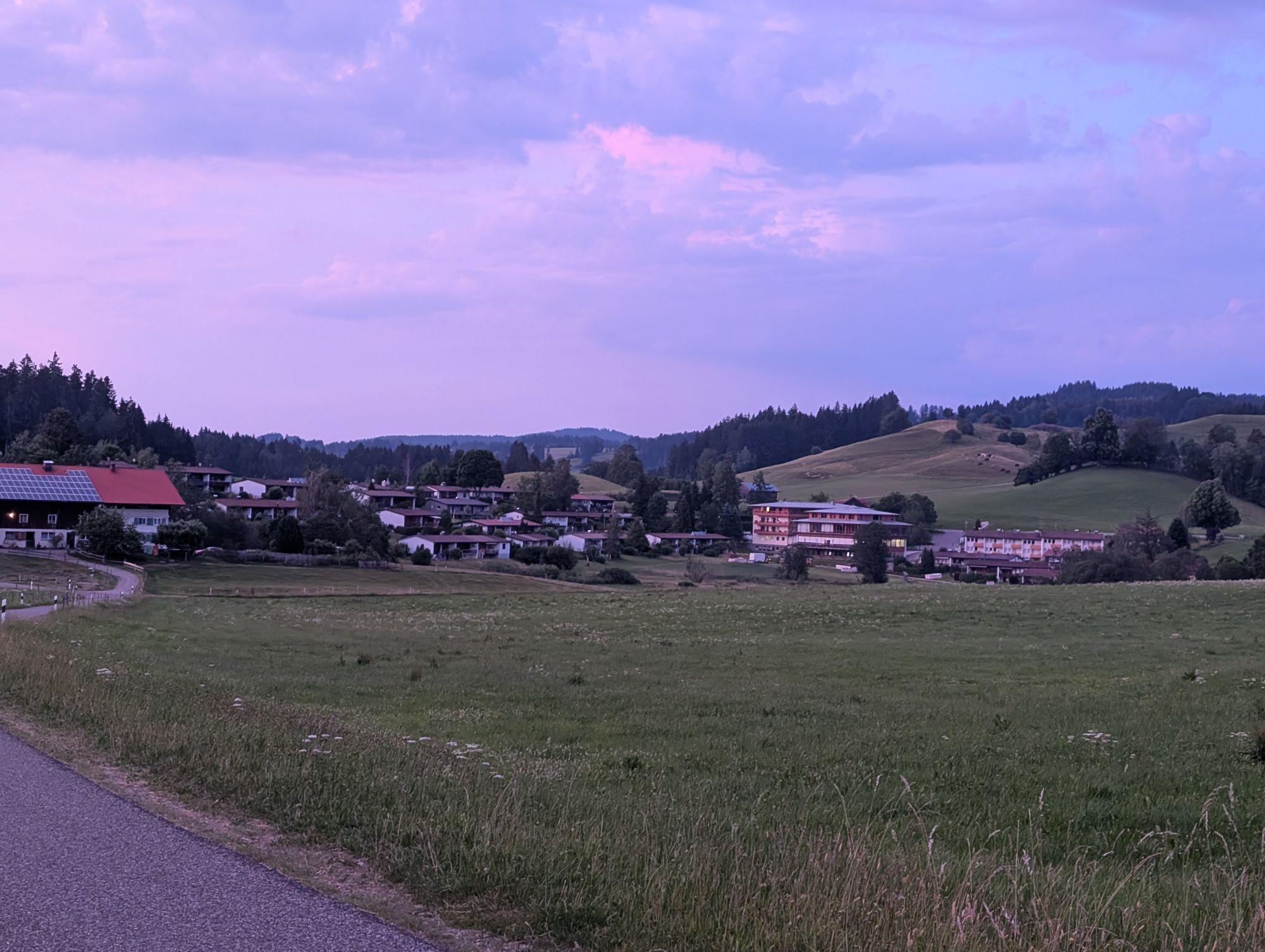
We start rolling down from Stiefenhofen to Heimhofen and then on to Grünenbach. Continuing over the Eistobel bridge and with a small detour via Riedholz, we soon pass by Hengelesweiher. We leave Isny behind...

Opis

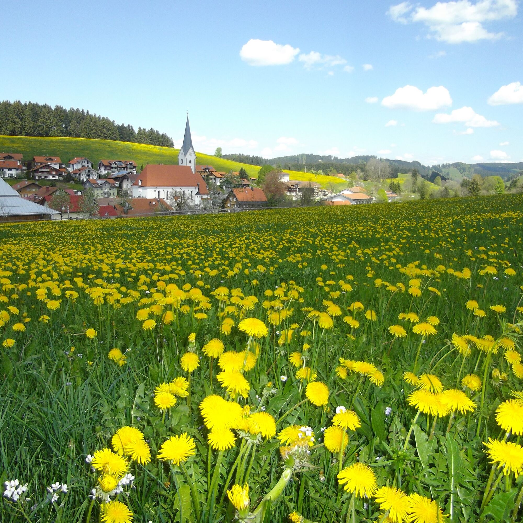
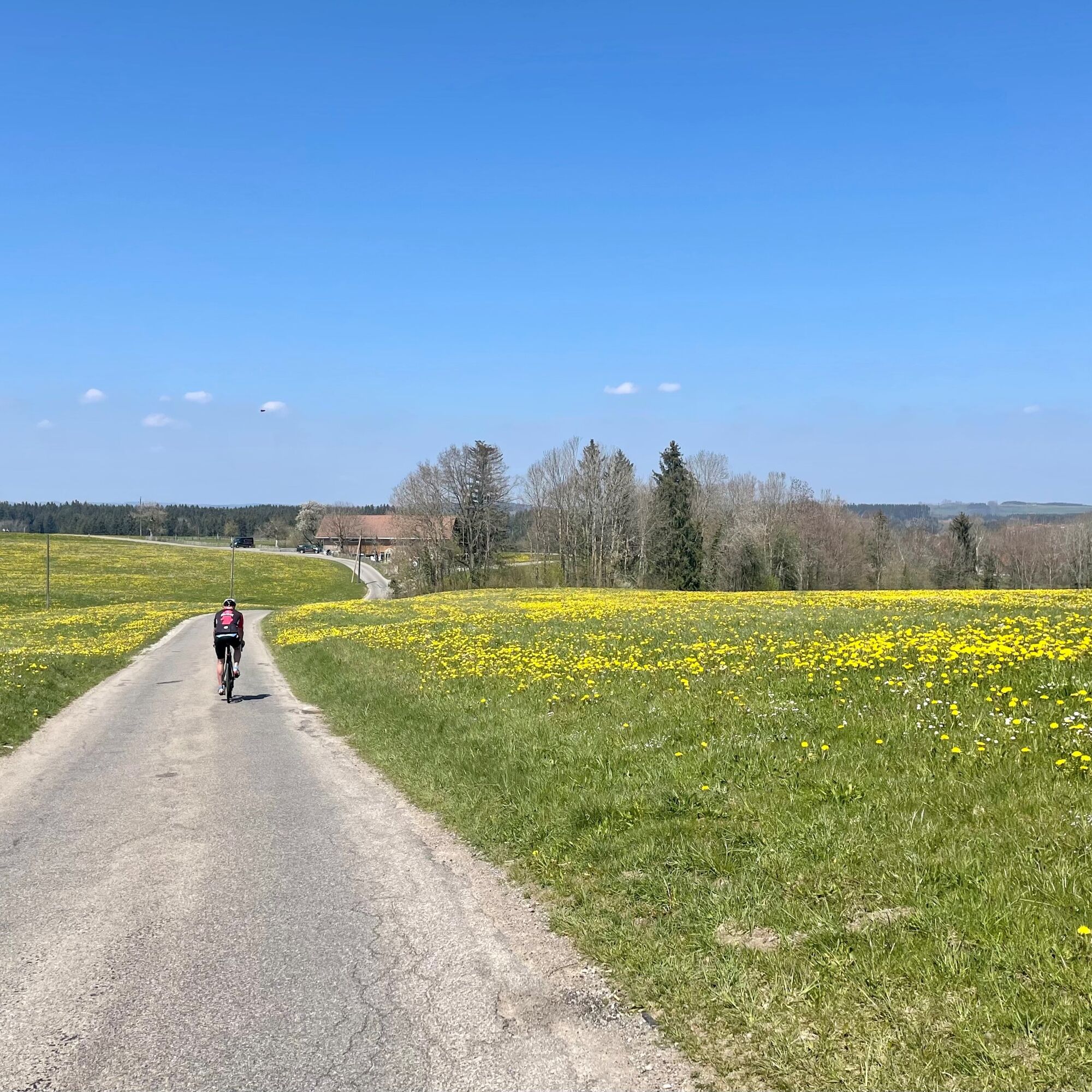
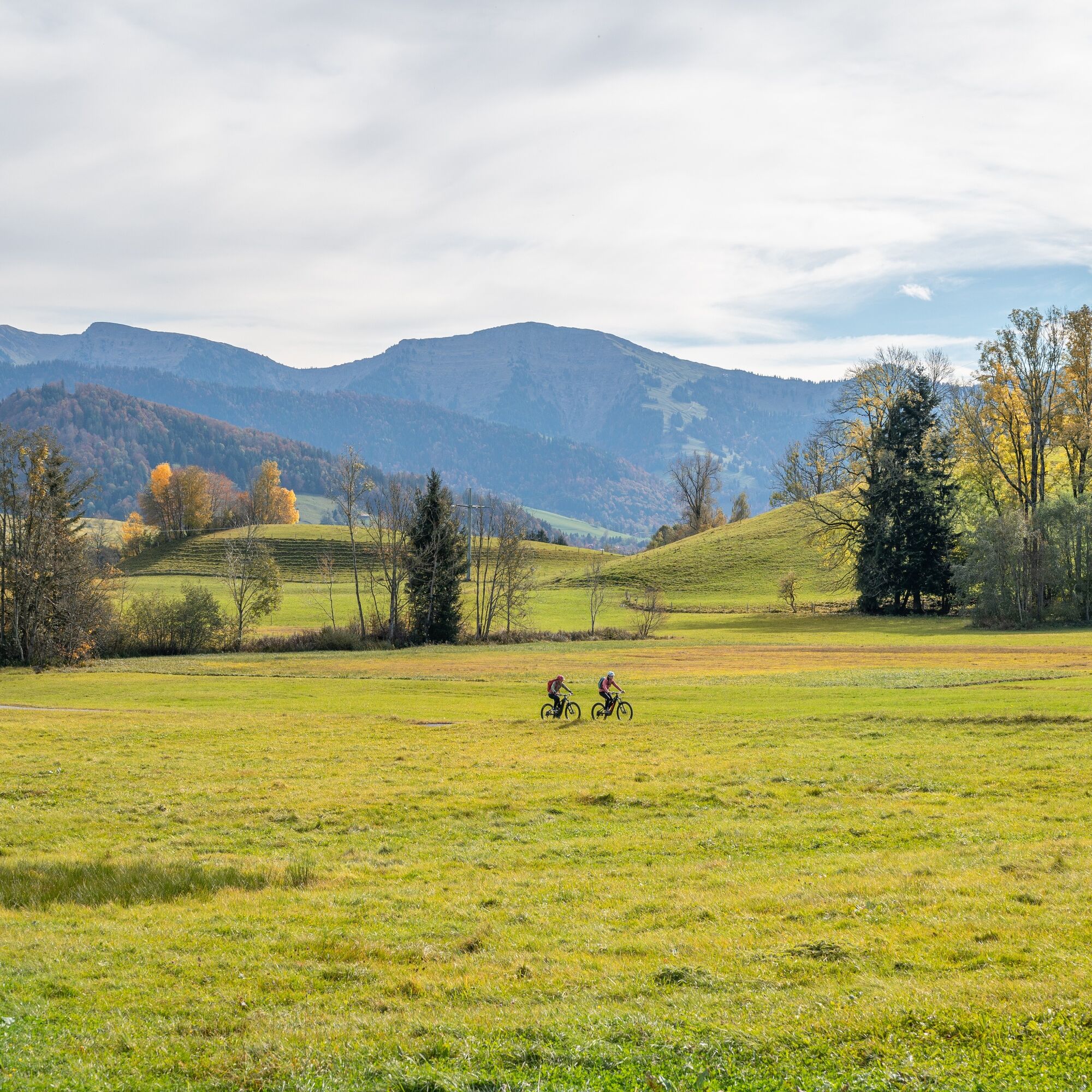
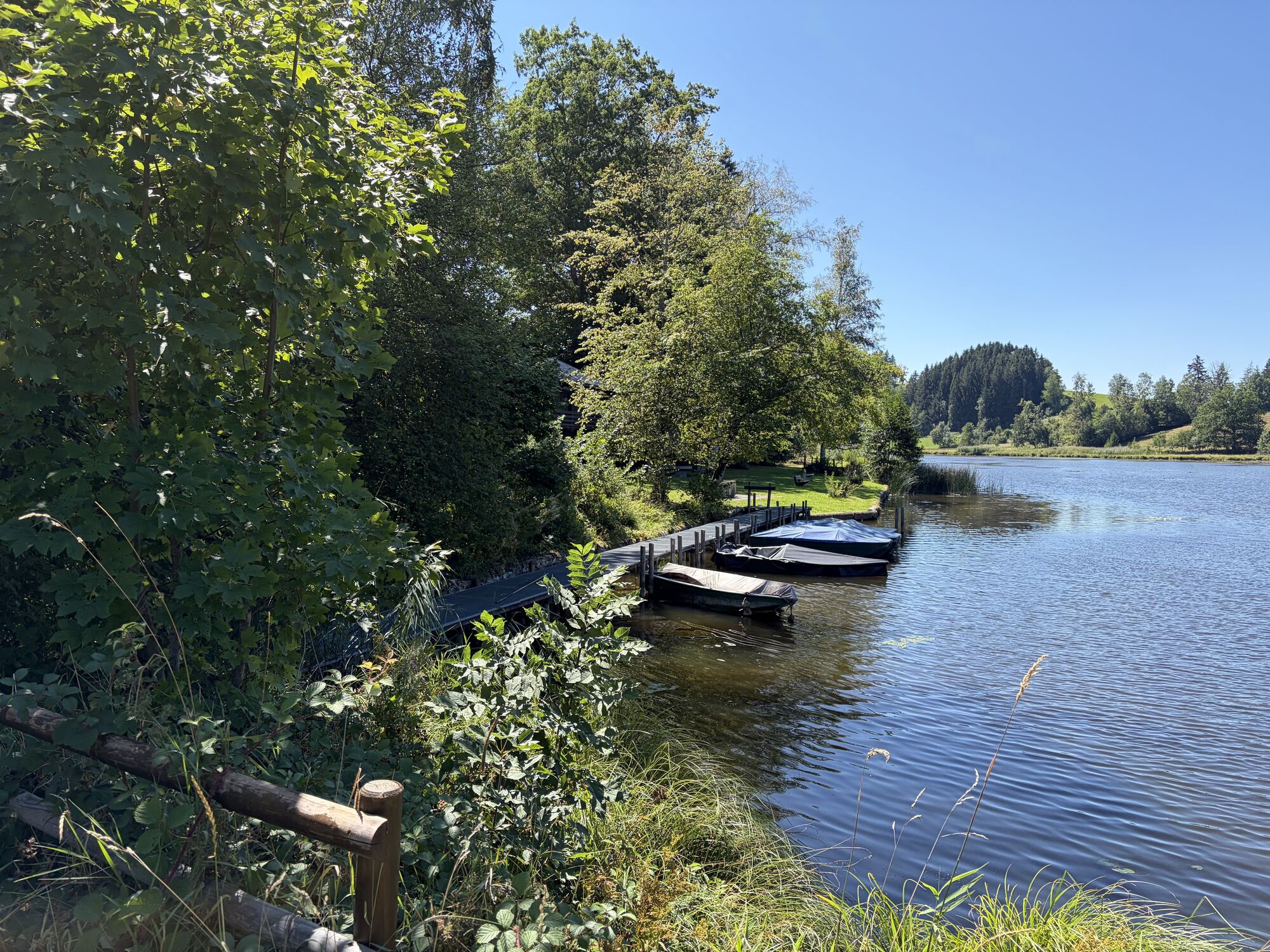
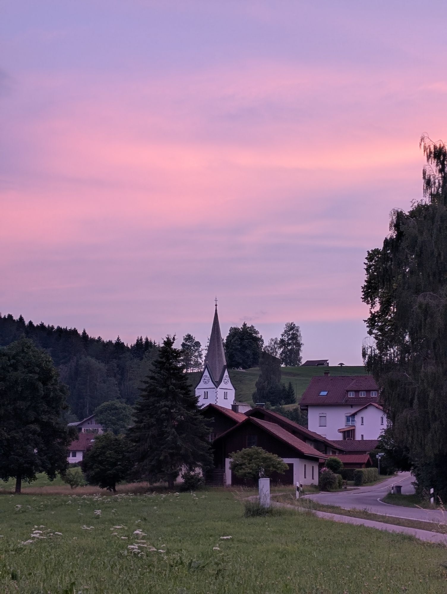
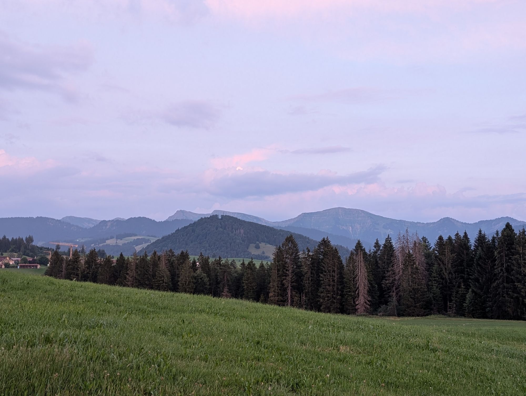
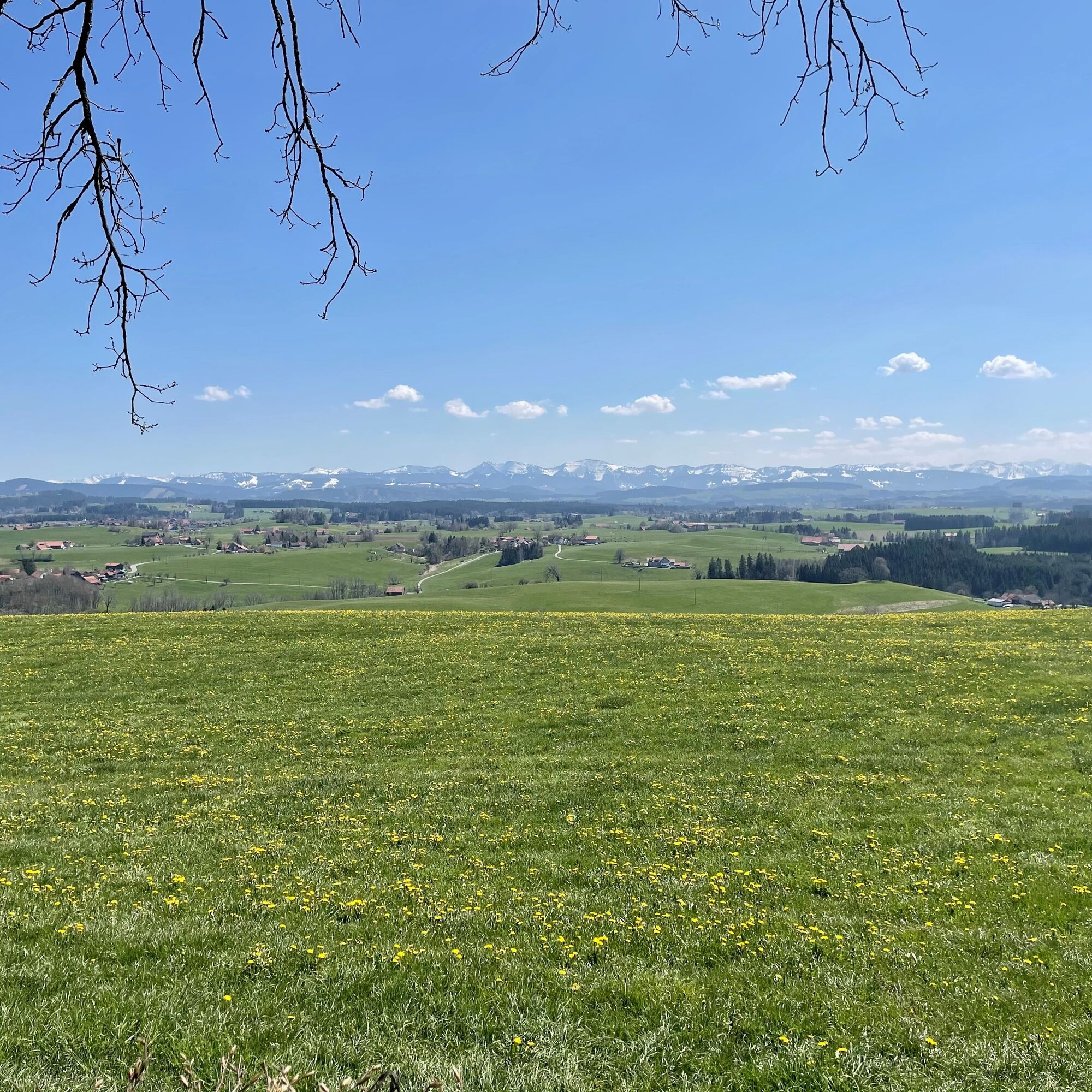
We start rolling down from Stiefenhofen to Heimhofen and then on to Grünenbach. Continuing over the Eistobel bridge and with a small detour via Riedholz, we soon pass by Hengelesweiher. We leave Isny behind on the left and follow quiet country roads initially without major elevation changes until a steep climb followed by a descent into Beuren requires the first big effort. It rolls idyllically around the Badsee to Gottrazhofen, and the onward ride via Christazhofen to Siggen also proceeds with little traffic. We pass a small lake once more before heading to the magnificent Siggener Höhe viewpoint. On clear days, the view here is like nowhere else. The peaks of the Northern Alps line up one after another – from the Zugspitze over the Tyrolean, Allgäu, Vorarlberg to the Swiss Alps. After the panoramic stop, we follow the road to the entrance of Ranzenried, then begin the return journey with many great views of the Alps. Shortly before Eglofs, there are again some elevation meters to conquer before rolling into the Eglofs valley. From there, we go over Steinegaden down to Röthenbach. Then it takes some energy to first climb up to Schönau and from there over Heimhofen up to Rutzhofen. A final short climb past the cemetery in Stiefenhofen, then the last few kilometers roll leisurely back to Oberstaufen.

Pot
St. Martin
(805 m)
Kraj čaščenja
5.6 km
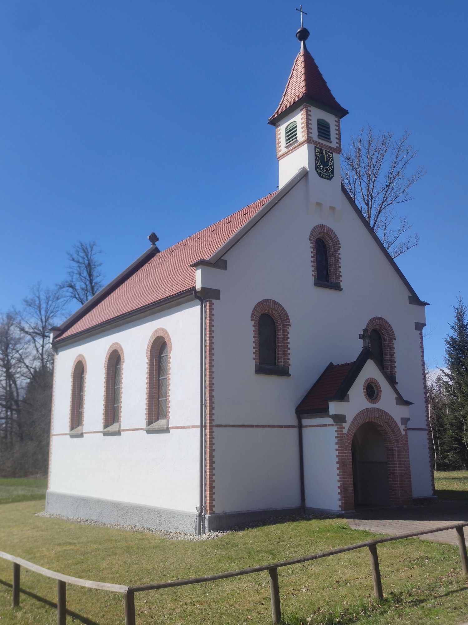
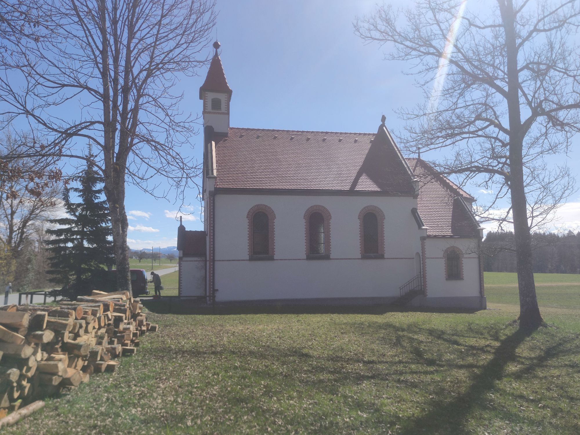
Kapelle St. Anna
(732 m)
Kraj čaščenja
13.2 km
Pfarrkirche St. Petrus und Paulus
(726 m)
Kraj čaščenja
30.7 km
St. Mauritius
(692 m)
Kraj čaščenja
38.7 km
Kapelle Bühl
(656 m)
Kraj čaščenja
51.8 km
Reute
(670 m)
Poravnava
52.9 km
St. Martin
(805 m)
Kraj čaščenja
68.6 km
Pot
Zemljevid
To Siggener Höhe
srednja
Cestno kolo
74.38 km
Oberstaufen
(790 m)
Železniška postaja
0.1 km
Oberstaufen
(791 m)
Vas
0.4 km
Buflings
(806 m)
Vas
2.0 km
Siechenkapelle
(774 m)
Kraj čaščenja
2.7 km
Wolfsried
(781 m)
Vas
3.5 km
Oberthalhofen
(756 m)
Vas
5.1 km
Stiefenhofen
(799 m)
Vas
5.4 km
Rössle
(802 m)
Restavracija
5.6 km
St. Martin
(805 m)
Kraj čaščenja
5.6 km
Holzleute
(805 m)
Poravnava
6.3 km
Harbatshofen
(768 m)
Vas
7.4 km
Gasthaus Adler
(760 m)
Restavracija
7.8 km
Grünenbach
(717 m)
Vas
9.9 km
St. Ottmar
(717 m)
Kraj čaščenja
10.1 km
Kapelle St. Anna
(732 m)
Kraj čaščenja
13.2 km
Riedholz
(722 m)
Vas
13.2 km
Adler
(718 m)
Restavracija
13.4 km
Maierhöfen
(741 m)
Vas
15.7 km
Neppen
(747 m)
Poravnava
16.0 km
Stibes Einöde
(736 m)
Koridor/teren
17.9 km
Großholzleute
(724 m)
Vas
19.6 km
Buchenstock
(760 m)
Poravnava
20.8 km
Holzkapelle Dürrenbach
(735 m)
Kraj čaščenja
21.3 km
Dürrenbach
(736 m)
Poravnava
21.4 km
Rotenbach
(710 m)
Poravnava
22.6 km
Bettmauer
(705 m)
Poravnava
23.0 km
Weidach
(702 m)
Poravnava
23.5 km
Furtenwies
(696 m)
Poravnava
24.7 km
Schwanden
(699 m)
Poravnava
27.1 km
Haubach
(699 m)
Poravnava
28.9 km
Lengertshofen
(736 m)
Poravnava
30.3 km
Landgasthaus zum Kreuz
(725 m)
Restavracija
30.6 km
Pfarrkirche St. Petrus und Paulus
(726 m)
Kraj čaščenja
30.7 km
Beuren
(722 m)
Vas
30.9 km
Allmisried
(697 m)
Poravnava
32.5 km
Gasthof Rad
(685 m)
Restavracija
35.3 km
Enkenhofen
(686 m)
Poravnava
35.4 km
St. Laurentius
(685 m)
Kraj čaščenja
35.4 km
Gottrazhofen
(655 m)
Poravnava
36.9 km
Christazhofen
(693 m)
Vas
38.6 km
St. Mauritius
(692 m)
Kraj čaščenja
38.7 km
Schachen
(671 m)
Poravnava
39.2 km
Göttlishofen
(684 m)
Vas
39.7 km
Buch
(699 m)
Poravnava
40.3 km
Siggen
(695 m)
Vas
41.1 km
St. Mauritius
(696 m)
Kraj čaščenja
41.5 km
Siggenmühle
(678 m)
Soseska
41.7 km
Aufreute
(708 m)
Poravnava
42.8 km
Siggener Höhe
(723 m)
Pogled
43.1 km
Oberhalden
(720 m)
Poravnava
43.2 km
Mittelried
(693 m)
Poravnava
44.7 km
Ratzenried
(675 m)
Vas
45.6 km
Sechshöf
(705 m)
Poravnava
47.7 km
Gerazreute
(643 m)
Poravnava
49.3 km
Schlossbühl
(651 m)
Hill
49.4 km
Gießen
(586 m)
Poravnava
50.2 km
Moos
(605 m)
Poravnava
50.8 km
Bühl
(648 m)
Poravnava
51.6 km
Kapelle Bühl
(656 m)
Kraj čaščenja
51.8 km
Aschen
(666 m)
Poravnava
52.2 km
Reute
(670 m)
Poravnava
52.9 km
Kinderspielplatz Grundschule
(659 m)
Igrišče
54.1 km
Eglofs
(662 m)
Vas
54.2 km
Schaulings
(642 m)
Poravnava
55.3 km
Brettweg
(608 m)
Poravnava
57.6 km
Happareute
(658 m)
Poravnava
59.0 km
Steinegaden
(696 m)
Poravnava
59.7 km
Röthenbach
(663 m)
Vas
61.4 km
Landgasthof Post
(659 m)
Restavracija
61.8 km
Gasthaus Adler
(702 m)
Restavracija
63.9 km
Schönau
(701 m)
Vas
64.1 km
Heimhofen
(759 m)
Vas
65.6 km
Mittelhofen
(823 m)
Poravnava
67.4 km
Lautenberg
(822 m)
Poravnava
68.1 km
Stiefenhofen
(799 m)
Vas
68.4 km
St. Martin
(805 m)
Kraj čaščenja
68.6 km
Rössle
(802 m)
Restavracija
68.7 km
Ranzenried
(812 m)
Poravnava
69.9 km
Genhofen
(806 m)
Vas
70.9 km
Sinswang
(807 m)
Poravnava
72.3 km
Oberstaufen
(791 m)
Vas
73.8 km
Oberstaufen
(790 m)
Železniška postaja
74.3 km
Informacije o turneji

Varied and scenic route into the hilly pre-Alpine landscape. The view from Siggener Höhe is truly spectacular on days with good visibility. An information board describes the peaks of the Alpine chain from the Zugspitze to Switzerland.

Tehnologija
n.a.
Stanje
4 / 6
Pokrajina
5 / 6
Izkušnje
5 / 6
Najboljši letni čas
Jan
Feb
Mar
Apr
Maj
Jun
Jul
Avg
Sep
Okt
Nov
Dec
Skupna turneja
Zemljevid
To Siggener Höhe
srednja
Cestno kolo
74.38 km
Napaka
Zgodila se je napaka. Prosimo, poskusite znova.
Še ni pregledov
Napišite pregled

Mnenja pomagajo drugim uporabnikom pri izbiri naslednje pustolovščine. Ocenite samo izlet, ne pa tudi vremena ali prigrizka.

Izberite eno od zvezdic, da ocenite ogled
Slaba turneja
Šibka turneja
Povprečna turneja
Dobra tura
Odlična tura
Pohodništvo in sledenje

Pohodništvo in sledenje

Pohodništvo in sledenje
Zaradi več kot 550.000 predlogov izletov, podrobnih zemljevidov in intuitivnega načrtovanja poti je aplikacija obvezna oprema za vse ljubitelje narave.
bergfex