







Bergstätt-Round
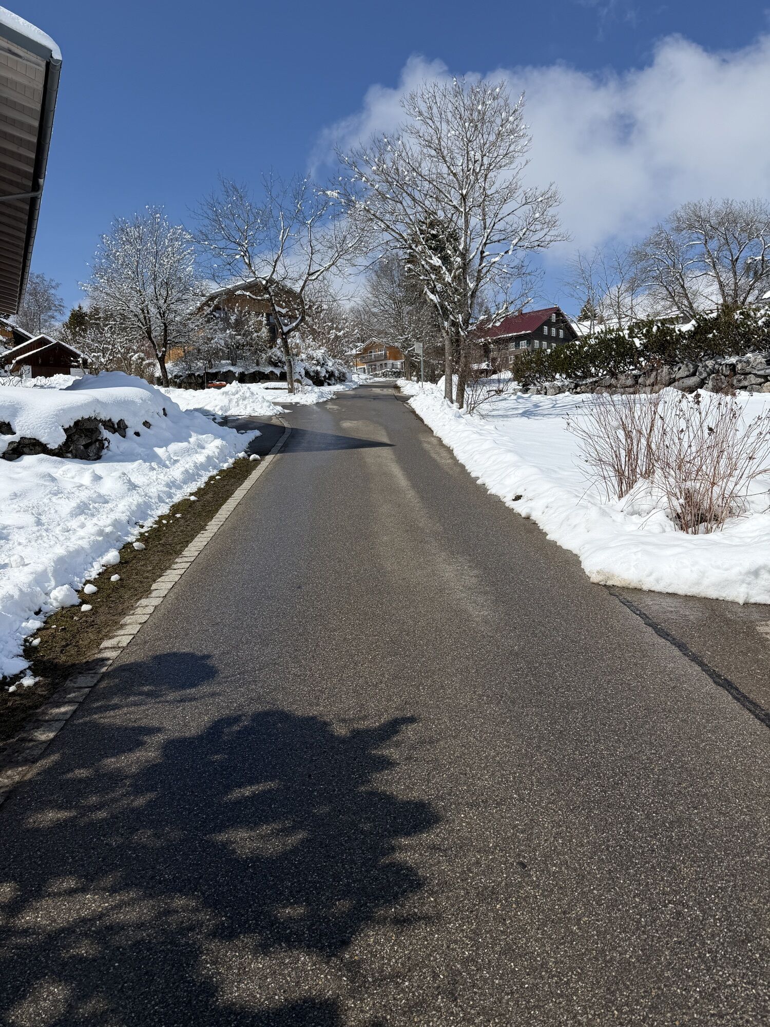
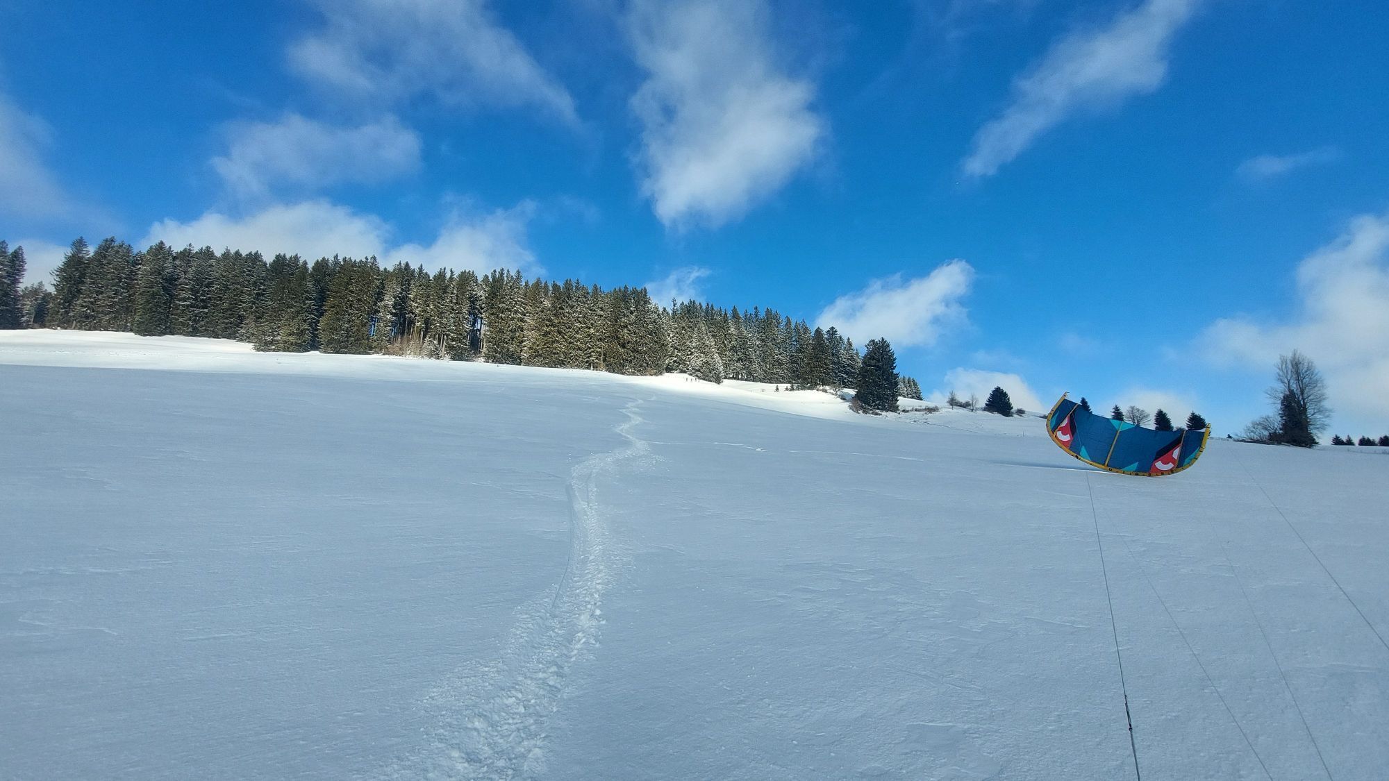
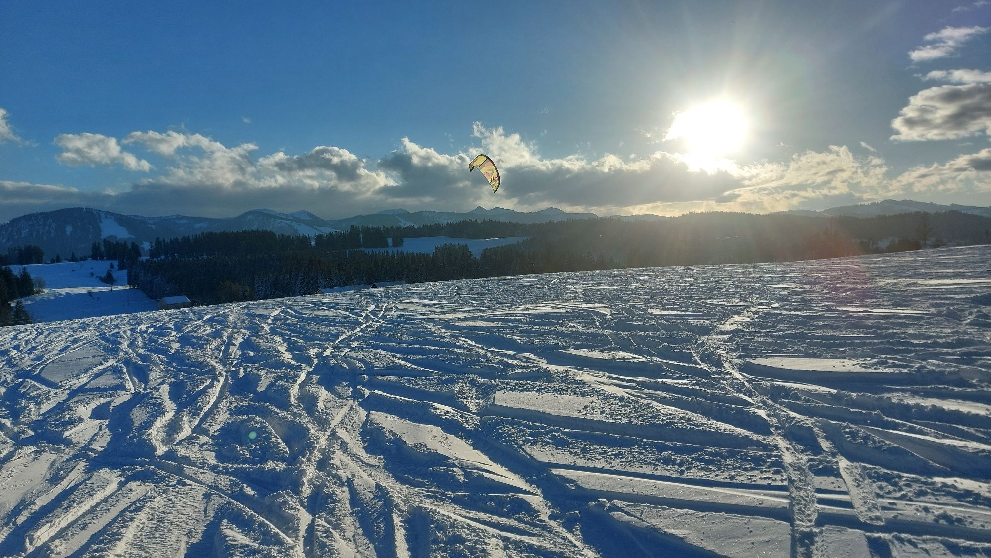
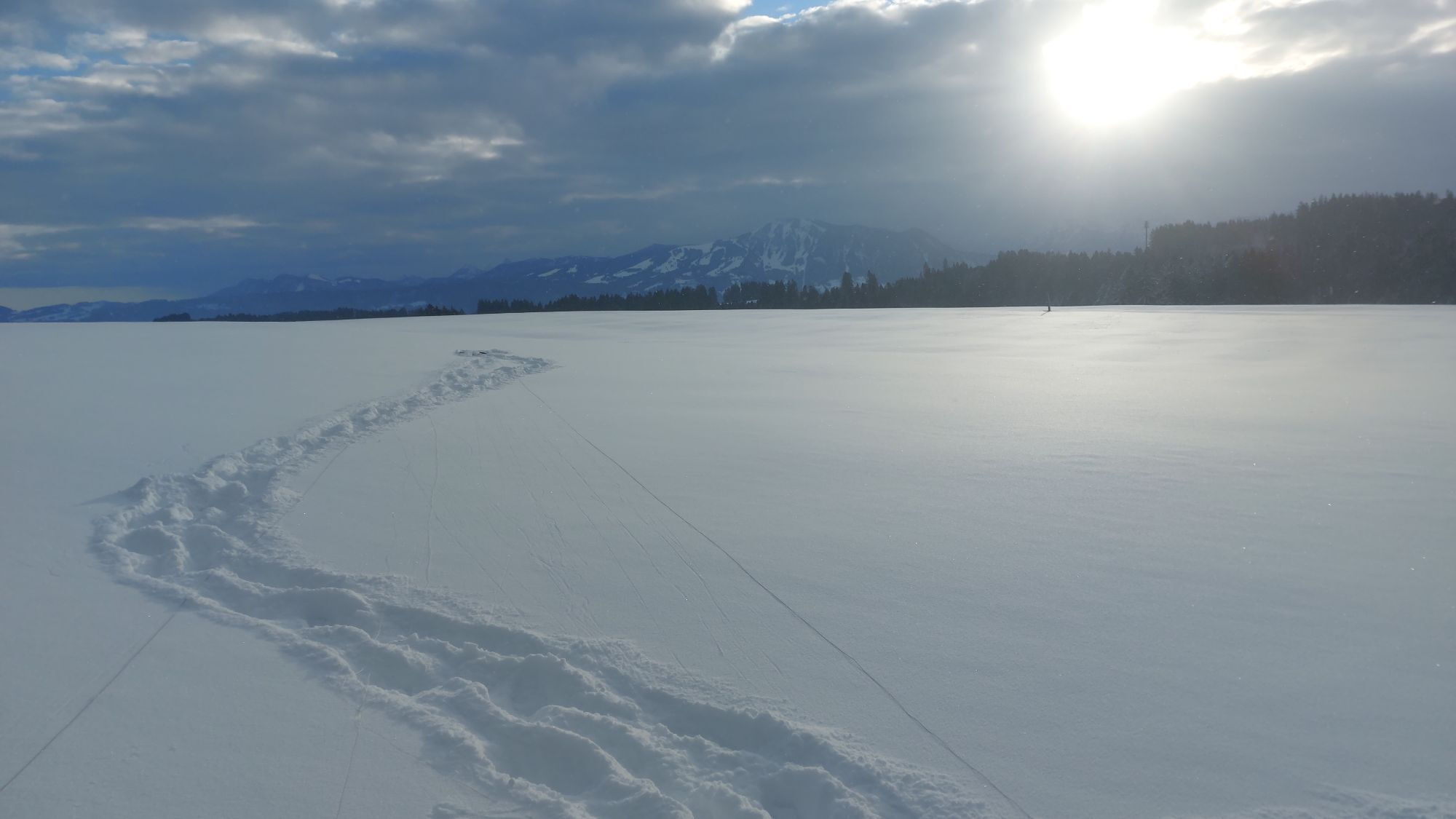
From the center of Immenstadt, the route runs past Marienplatz, across Bahnhofstraße and diagonally right into Rothenfelsstraße. At the traffic circle, the route continues to the right on Missener Straße...
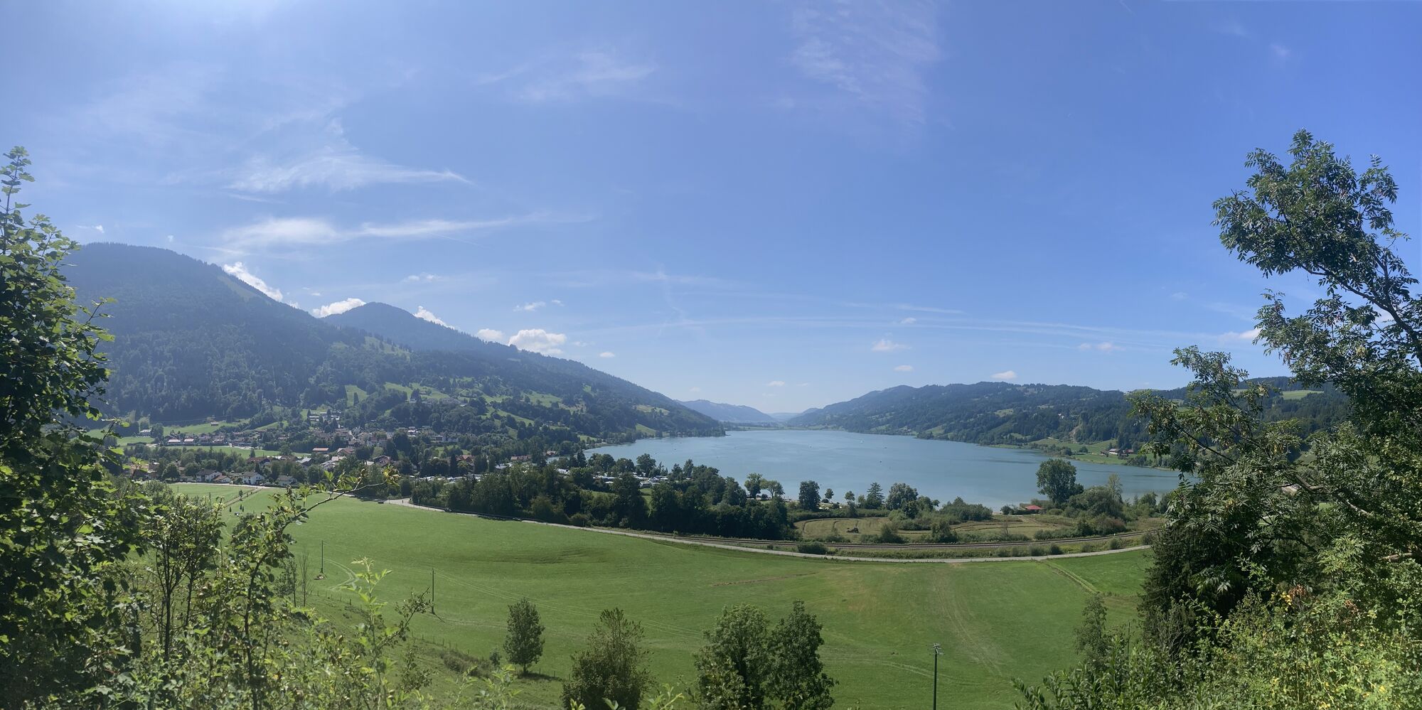
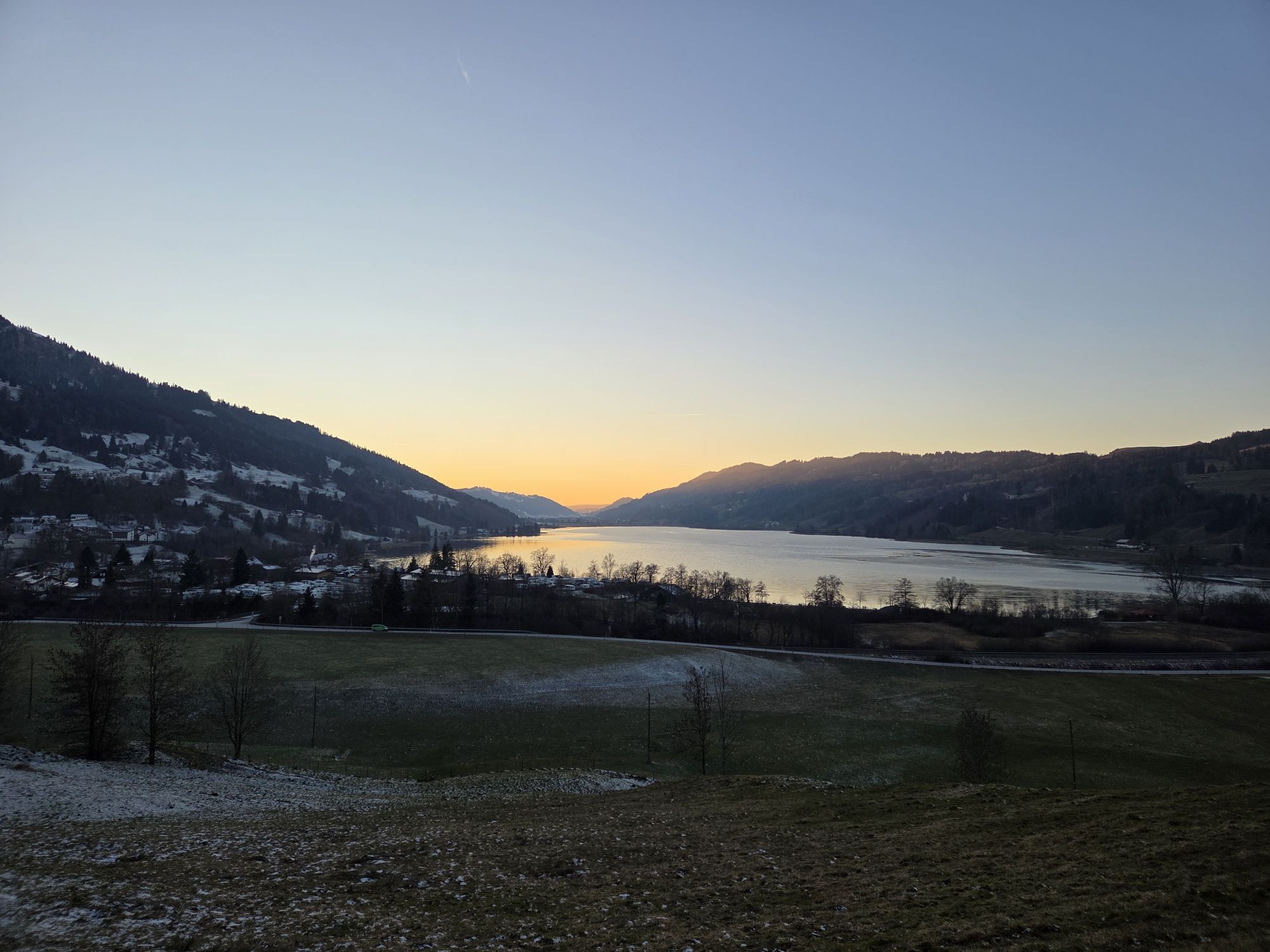
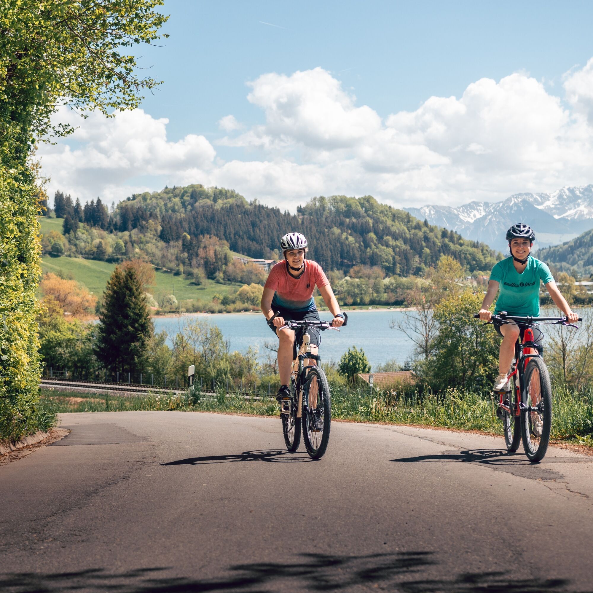
Pass the Kleiner Alpsee open-air swimming pool and then follow the winding road up towards Zaumberg. From the Hotel Rothenfels at the latest, the ascent becomes steep and the cycle path ends. A gravel path along the road offers an alternative to the busy section. After a short time, you turn left to an impressive viewpoint above the Großer Alpsee, the largest natural lake in the Allgäu.
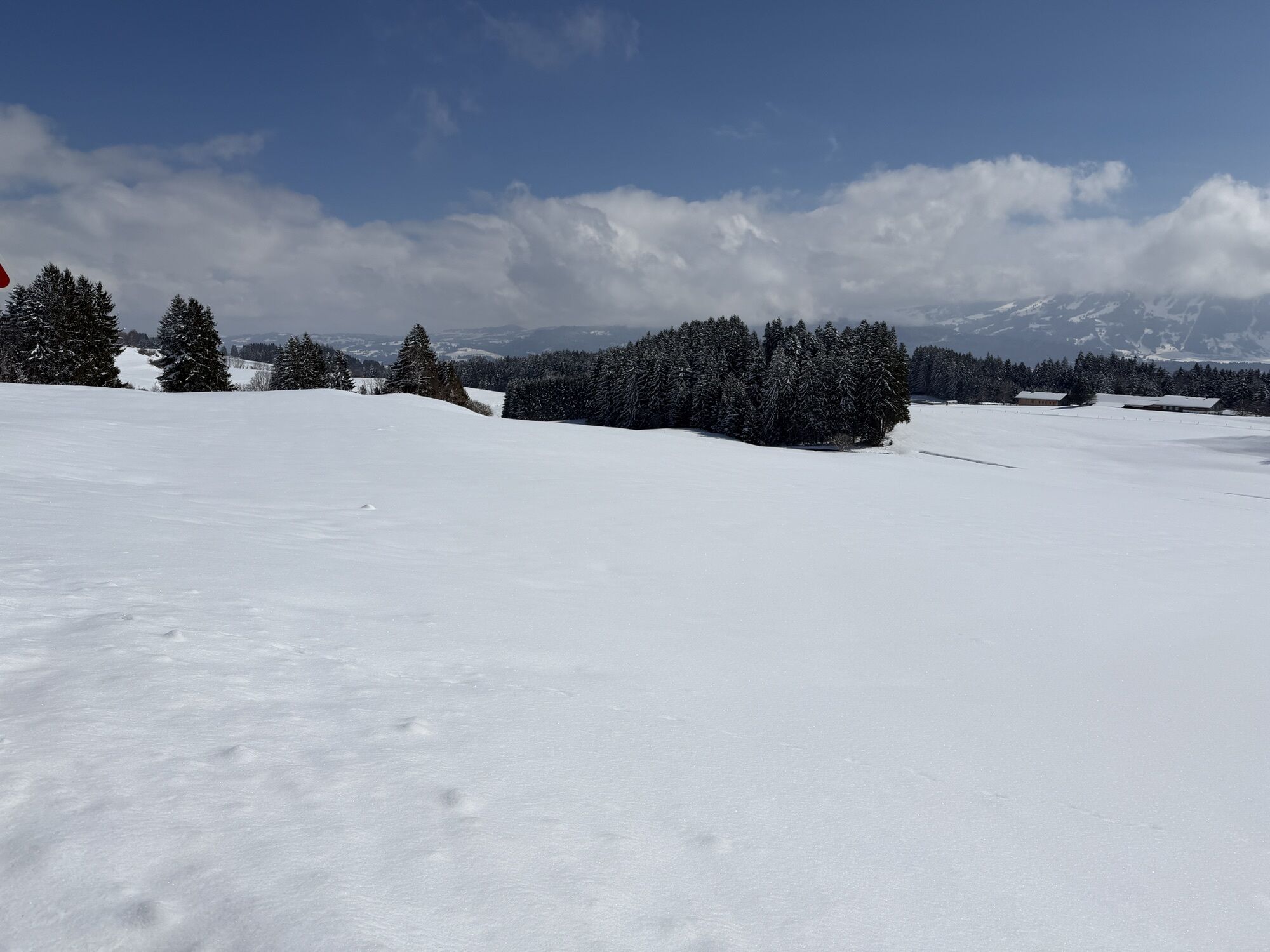
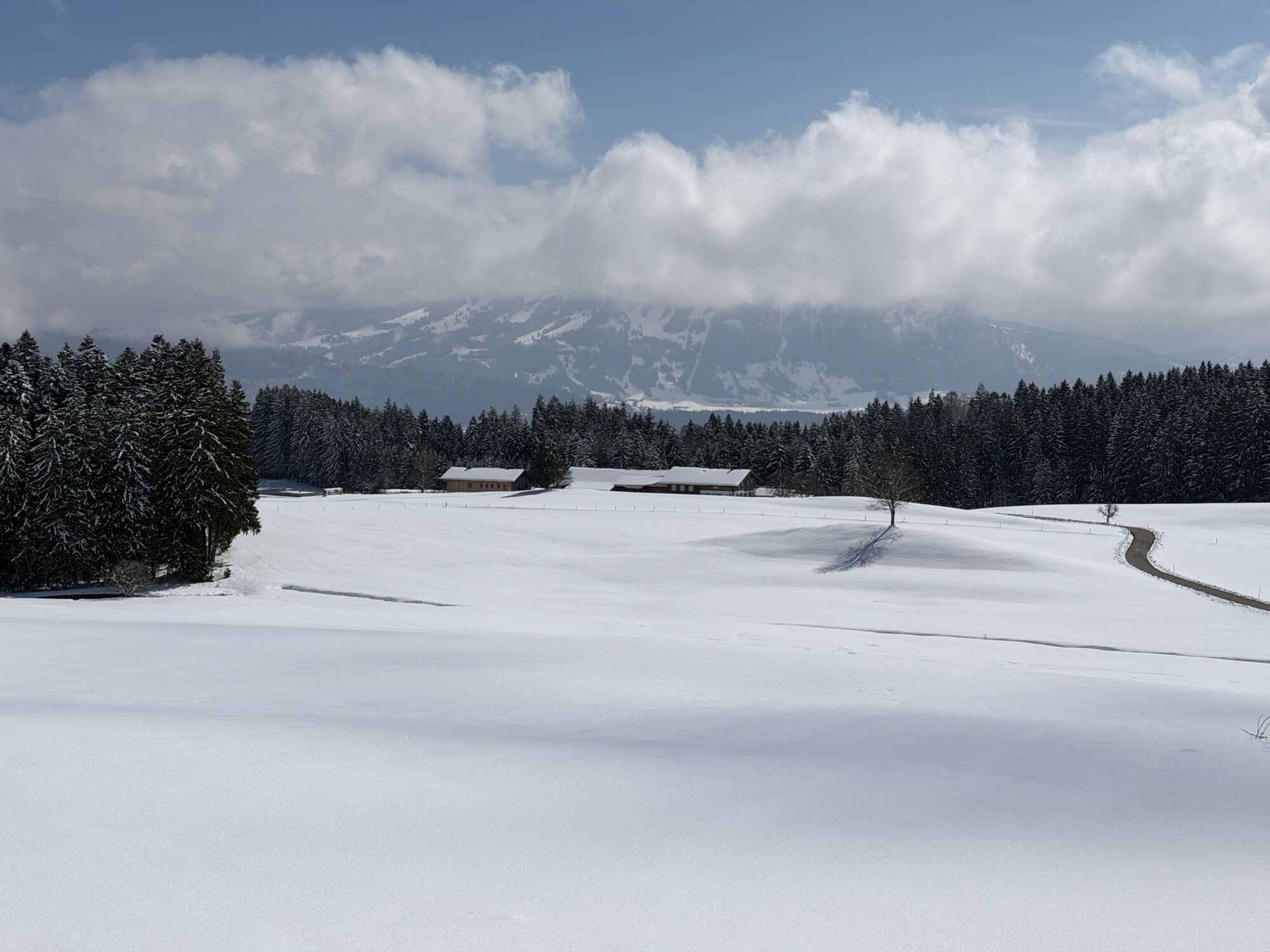
The first ascent is completed at Zaumberg. After a short flat section, further steep hairpin bends follow. At the edge of the forest, the road branches off to the right towards Knottenried. In Knottenried, the most challenging part is over, accompanied by a magnificent panorama of the Allgäu mountains.
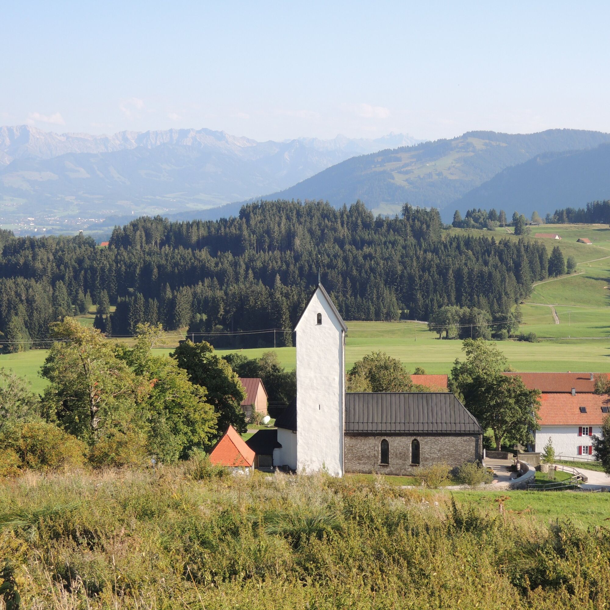
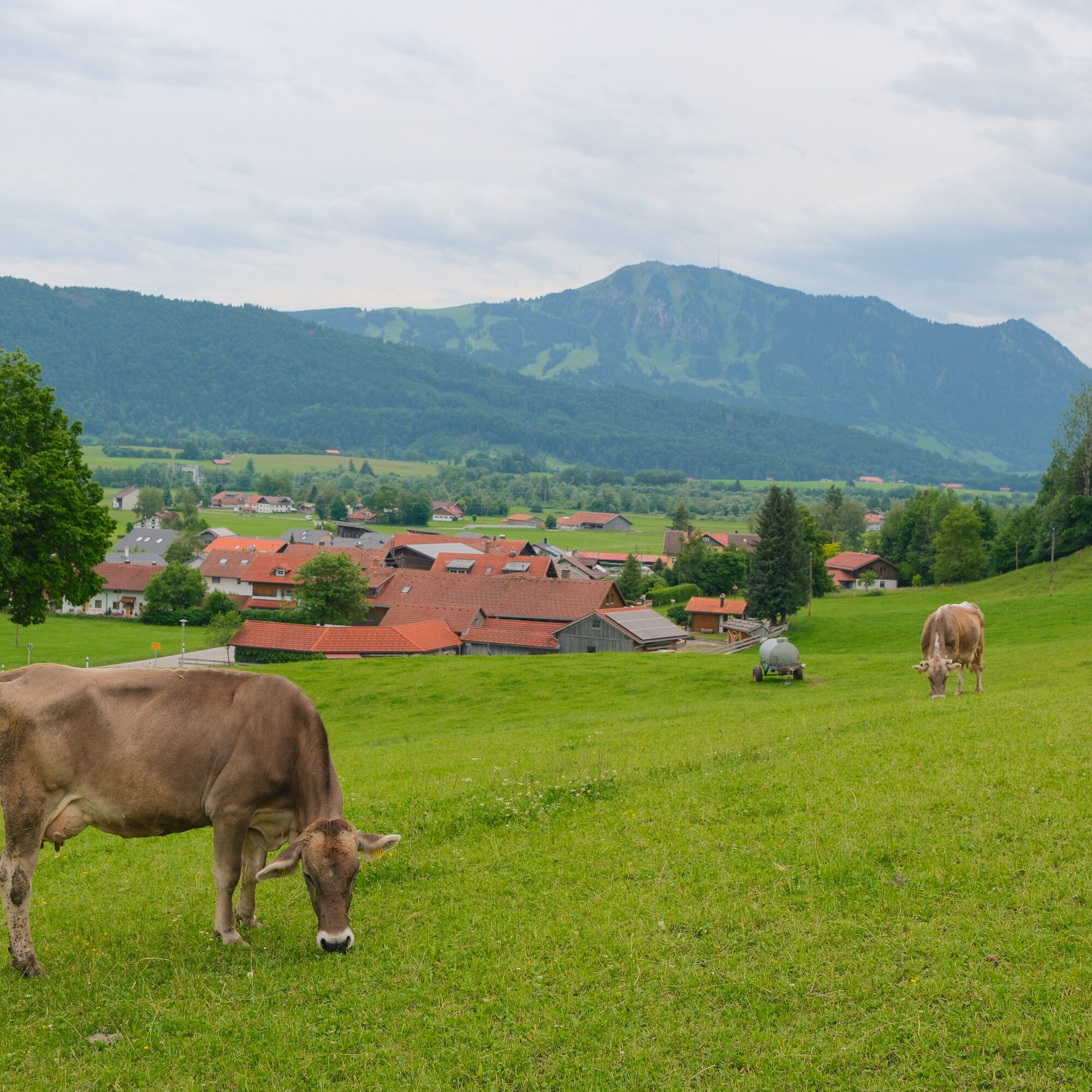
A winding section leads downhill before the road climbs again to Diepolz. Here you will find the Allgäu Mountain Farmers' Museum, the Diepolz mountain cheese dairy and the Höfle Alpe with refreshment stops. On a clear day, the view towards Freundpolz stretches from the Allgäu Alps to the Säntis in Switzerland. This is also the highest point of the tour.
The descent leads via Rieggis down to Niedersonthofen with a view of Lake Niedersonthofen. A dip in the cool water is of course a must! The route then continues slightly uphill via Dietzen to Eckarts and on to Werdenstein. A stop at the Burgcafé Werdenstein is worthwhile - here you will find everything to make your heart beat faster: from hearty specialties to fine cakes. And on the sun terrace you can enjoy a fantastic view of the Allgäu Alps.
The route continues via Bräunlings to Stein. There, the trail turns right at the petrol station into the road "Am Eckschachen", crosses "An der Steinmühle" and turns right into Kalvarienbergstraße. This initially runs uphill and then steeply downhill back to the residential town of Immenstadt. The town center is reached via Alleestraße.
Battery empty?No problem: at our two tourist information offices (in Bühl and Immenstadt) you can charge your e-bike free of charge during opening hours.


Alternatively also accessible by car.
Take the train to Immenstadt station. From there, cycle directly in the direction of Missener Straße.
Did you know?
All Immenstadt vacation guests receive the Mobil Pass Allgäu from their host, which means that this tour can be reached free of charge by public transport.
However, an extra ticket must be purchased for the transportation of bicycles and transportation is not guaranteed if there is a large number of people.
Parking is available at the Viemarktplatz Immenstadt, the Bauhofinsel parking lot or in the city center.
The tour is also suitable for gravel or racing cyclists due to the high proportion of asphalt.
Spletne kamere s turneje
-
Segelclub Alpsee
-
Talstation Ossi-Reichert Bahn
-
Segelclub Alpsee
-
Mittaggipfel
-
Hanusel Hof
-
Sonthofen - Panzer & Braun Tiefbau
-
Petersthal am Rottachsee
-
Petersthal am Rottachsee
-
Waltenhofen Memhölz - Geratser Hof
-
Oberwilhams
-
Webcam vom Skilift Weitnau im Oberallgäu
-
Oberwilhams
-
Missen-Börlas
-
Ortsansicht Missen
-
Blaichach - Gunzesried
-
Alpsee Bergwelt
-
Alpsee Bergwelt
-
Alpsee Bergwelt - Bärenfalle
Pridobite vpogled
Vedno v živo na mestu z več kot 9.500 spletnimi kamerami. bergfex Kot uporabnik Pro si lahko zdaj ogledate ustrezne spletne kamere za številne izlete v aplikaciji izleti iz. Tako si lahko neposredno ogledate trenutne razmere.
Priljubljeni izleti v okolici
-
3.9
Klassikertour: Auf den Grünten
težkoPohodništvo 8.50 km -
4.4
Wanderung auf den grünten
srednjaPohodništvo 8.31 km -
4.3
Starzlachklamm
srednjaPohodništvo 5.30 km -
5.0
Nagelfluh ridge route Hochgrat - Mittag
težkoPohodništvo 14.0 km -
4.7
Rindalphorn und Hochgrat
srednjaPohodništvo 15.6 km -
4.9
Immenstädter Horn
svetlobaPohodništvo 9.35 km -
5.0
Siedelalpe Runde von See - Immenstadt
svetlobaPohodništvo 10.3 km -
3.7
Rundtour Mittag
svetlobaPohodništvo 15.7 km -
4.5
Immenstädter Horn - Gschwender Horn
svetlobaPohodništvo 10 km -
4.5
Circular route Hündle to the Buchenegger Waterfalls
srednjaPohodništvo 9.69 km
Pohodništvo in sledenje


Ne zamudite ponudb in navdiha za naslednje počitnice
Vaš e-poštni naslov je bil dodan na poštni seznam.





