


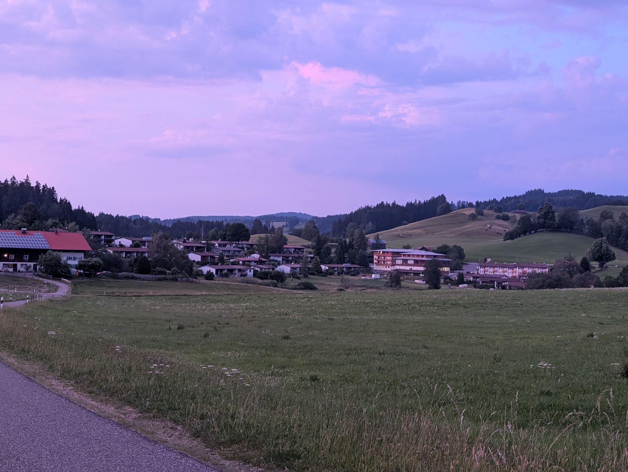
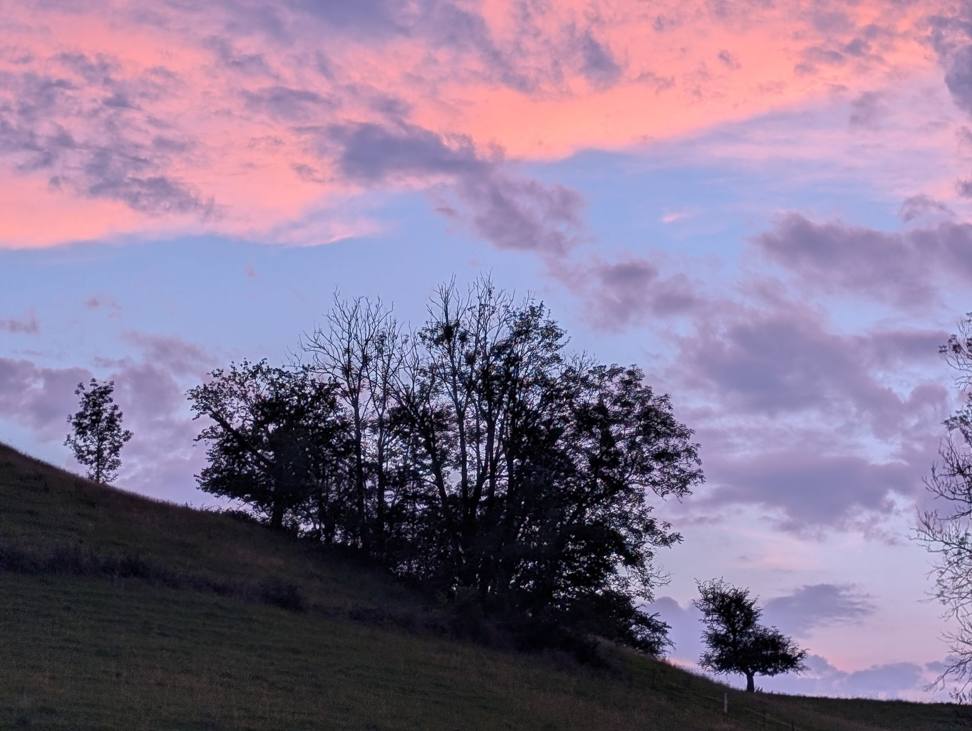
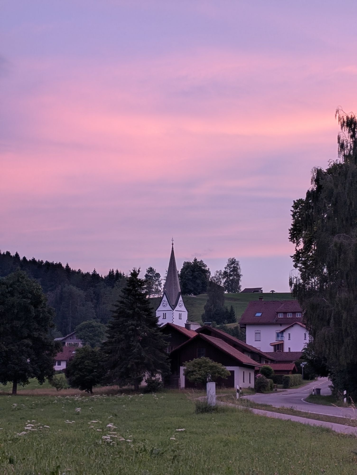
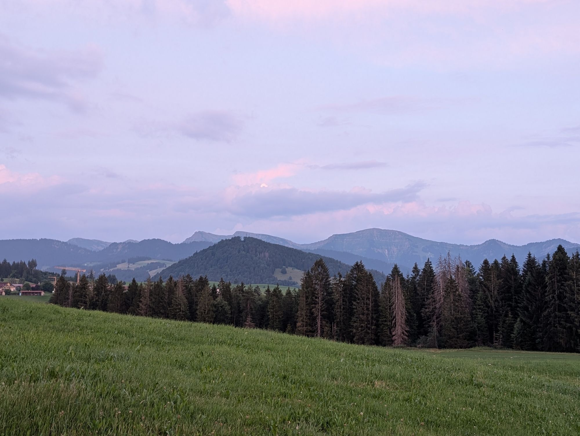
Gestratz round
Stopnja težavnosti: 3
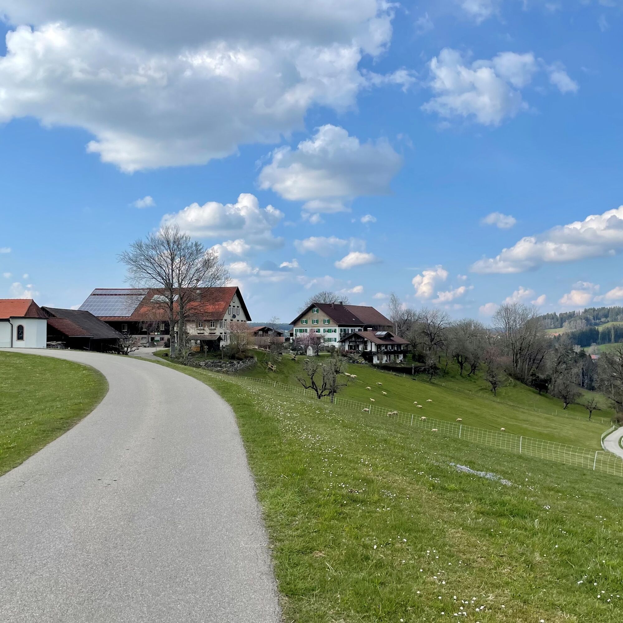
From the station, head north towards the town exit in the direction of Isny. On the cycle/pedestrian path to Buflings and via Zell to the "Weißenbachmühle". Along the "Obere Argen" river to Oberthalhofen...
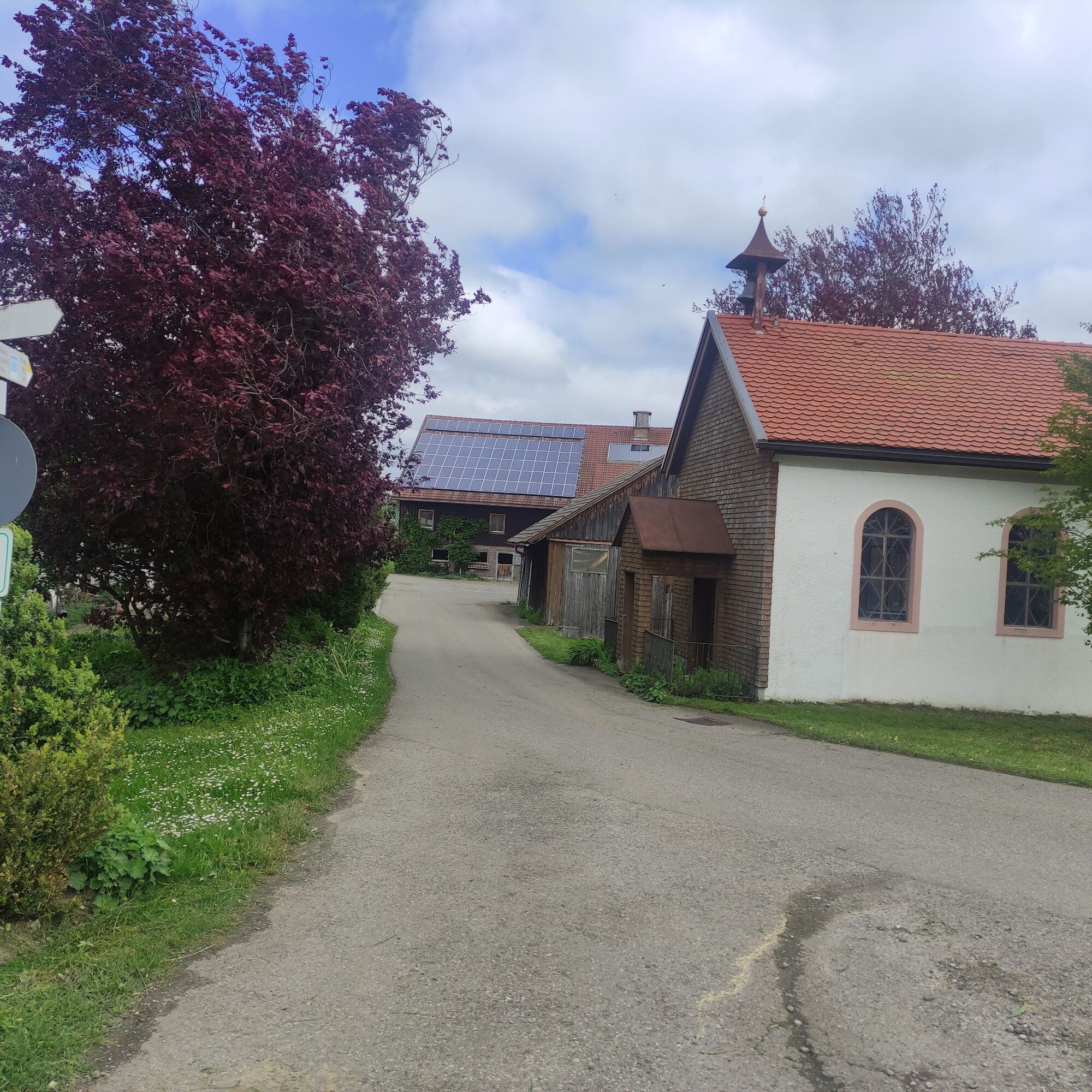
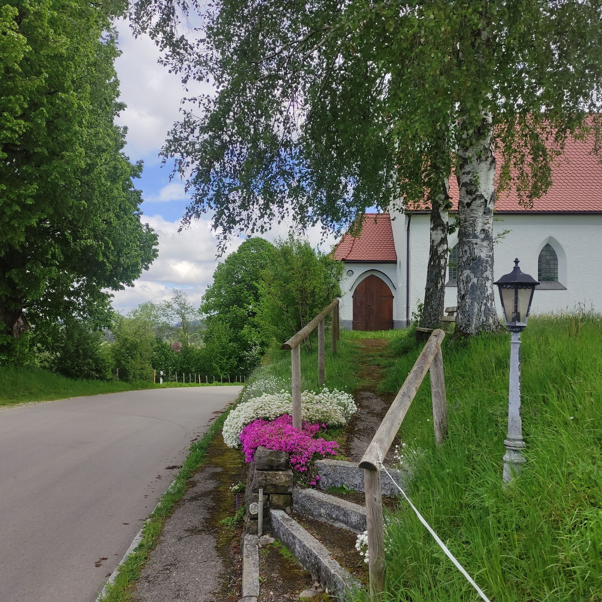
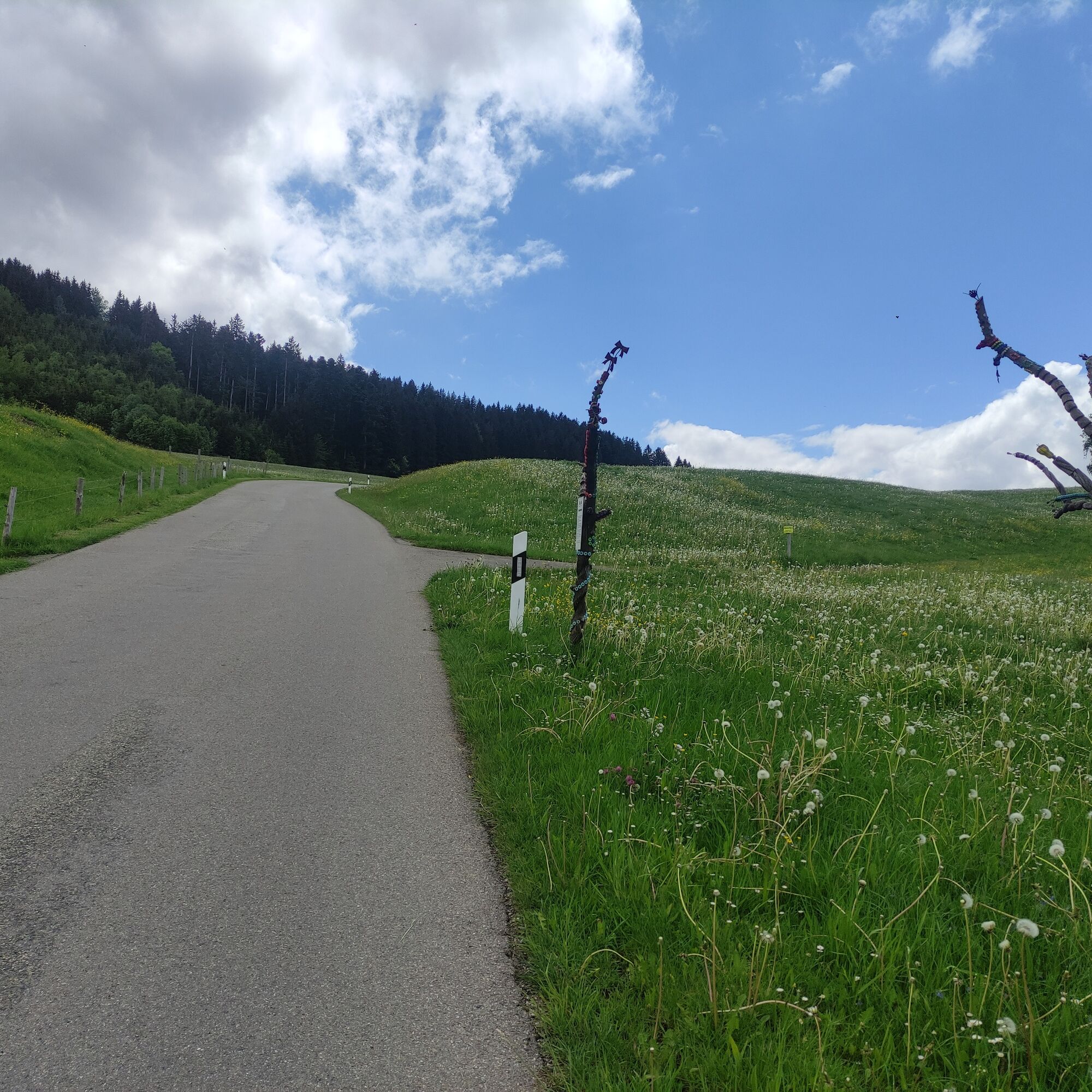
From the station, head north towards the town exit in the direction of Isny. On the cycle/pedestrian path to Buflings and via Zell to the "Weißenbachmühle". Along the "Obere Argen" river to Oberthalhofen and straight on until before the climb. Turn right along the edge of the forest to the state road. Turn left, initially on the cycle path, then on the road to Schönau. Again, take a cycle path, after about 400 meters turn right. Through the hamlets Schneit and Altensberg to Gestratz. In the village, turn left and continue to the main street. Turn left again and after a few meters then right following the signs to the inn "Malleichen" with beer garden. Return the first kilometer the same way. Before Gestratz, turn right via Unter- and Oberschmitten pleasantly to Röthenbach. From here, uphill on the main road to the cycle path, which leads flat back to Schönau. Turn right here and via Heimhofen and Rutzhofen to Stiefenhofen. In the village turn right and immediately after the inn "Rössle" turn right again. After 100 meters, turn left for one last climb. Via Ranzenried comfortably to Genhofen and back to Oberstaufen.
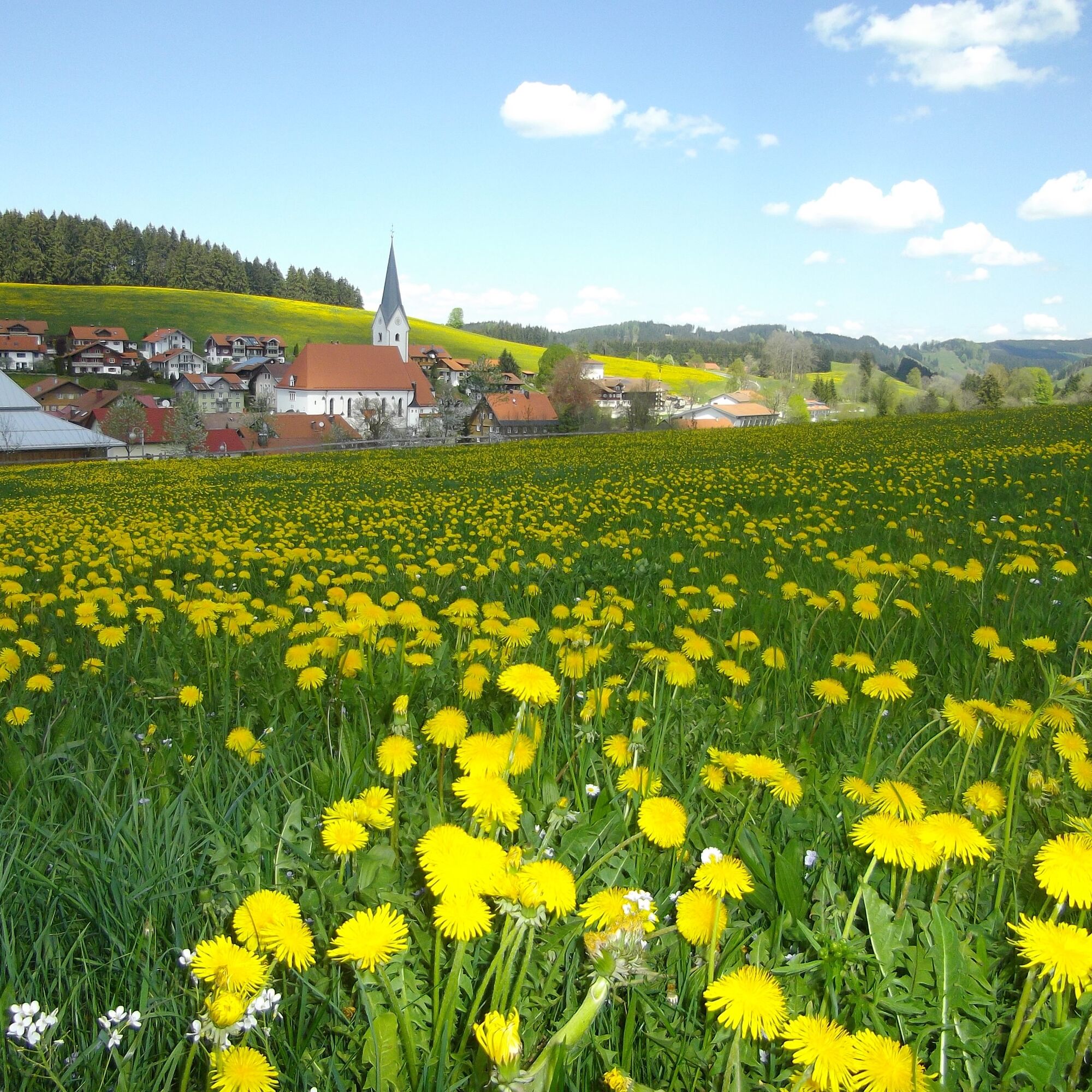

Oberstaufen station - Buflings - Zell - Oberthalhofen - Schönau - Gestratz - Malleichen - Gestratz - Röthenbach - Schönau - Heimhofen - Rutzhofen - Stiefenhofen - Genhofen - Oberstaufen
Via the B 308 to Oberstaufen
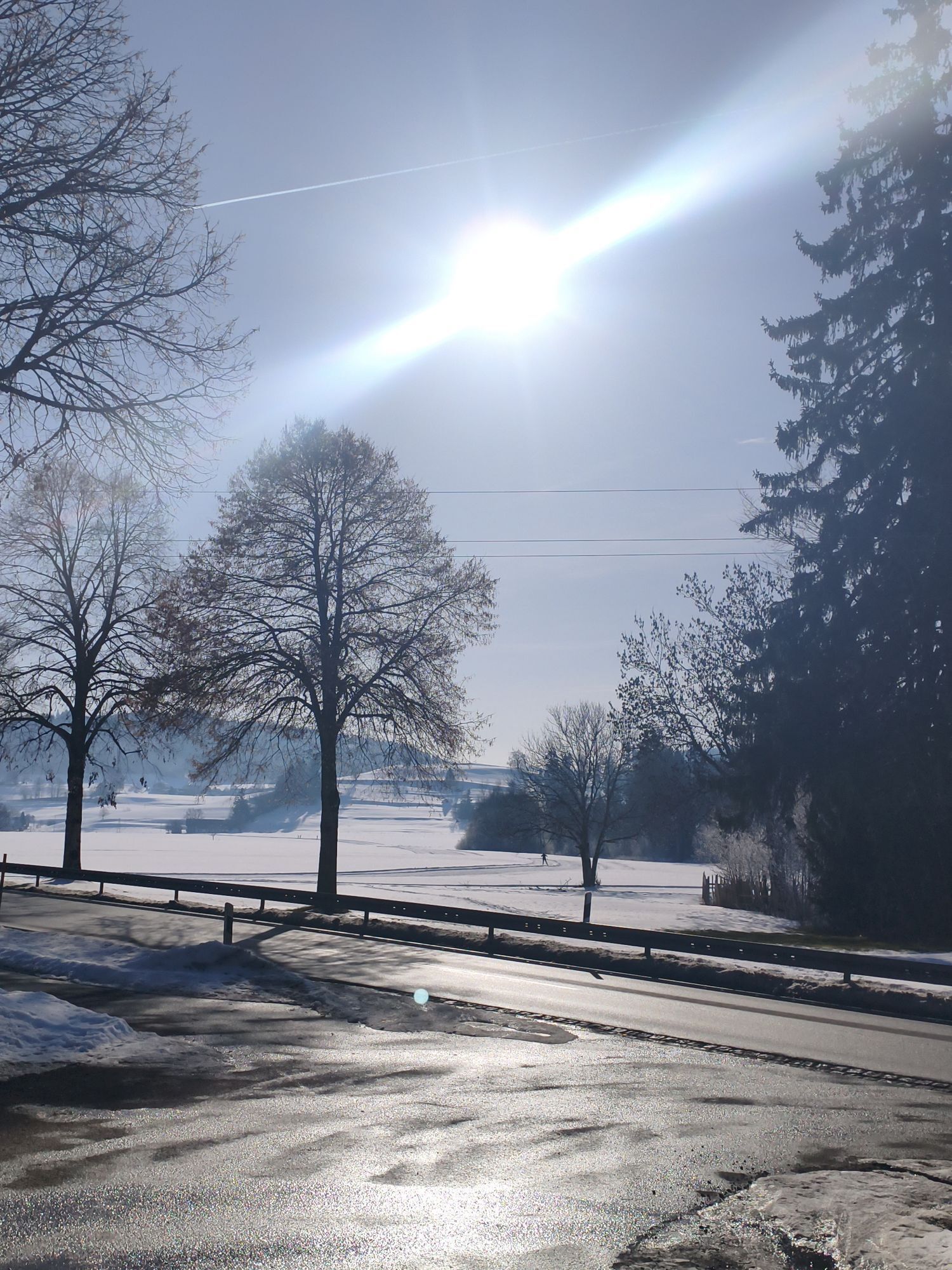
By train/bus to Oberstaufen
At Oberstaufen station
3
Note: The route is not explicitly signposted, GPX data is available for navigation.
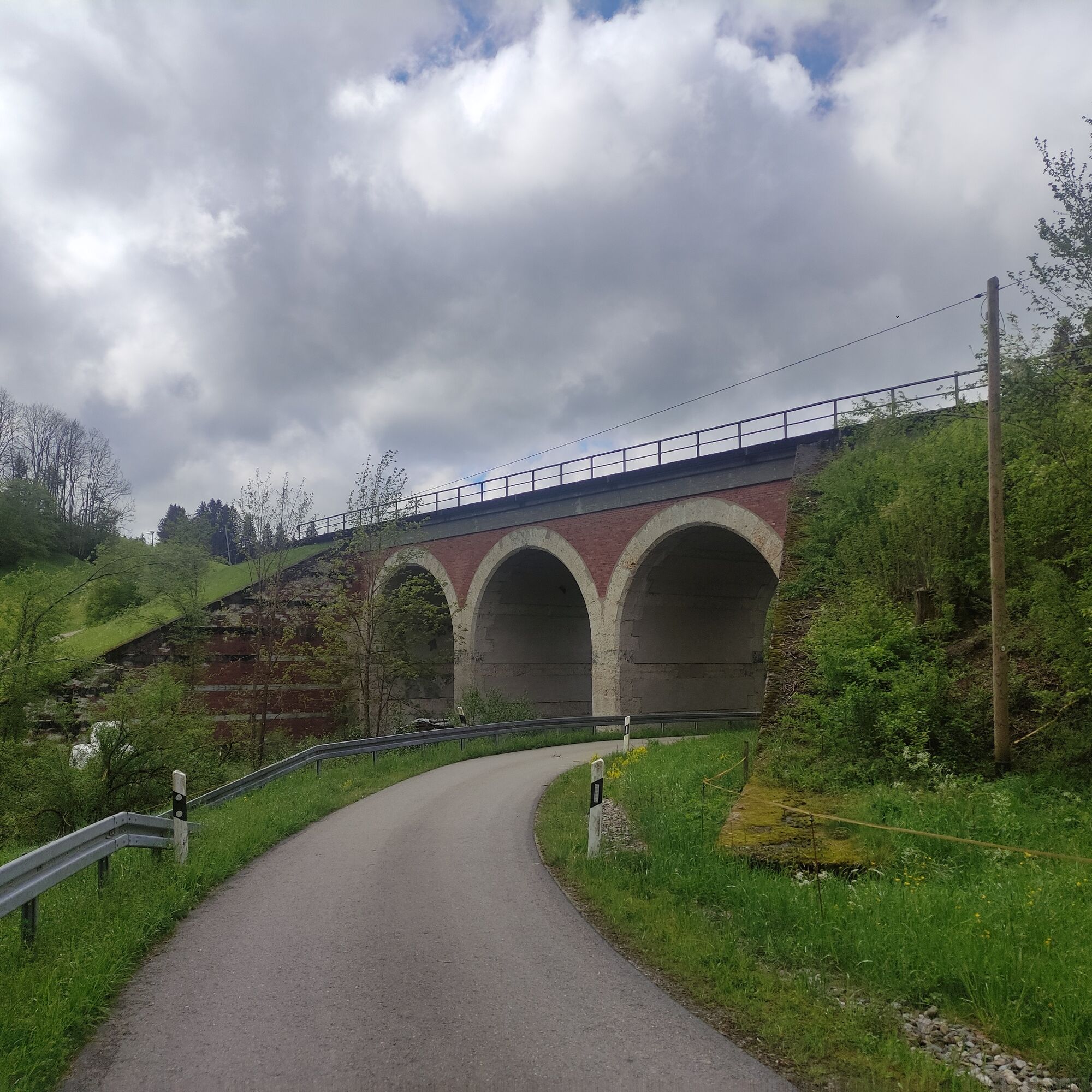
A popular destination for cyclists is the inn "Malleichen". This route tip leads as a circular route except for the unpaved section between Zell and Harbatshofen via low-traffic secondary roads and cycle paths. A paved variant for this section is possible for road cyclists via Stiefenhofen.
Priljubljeni izleti v okolici
- 4,7
Steibis - Buchenegger Waterfalls
srednjaPohodništvo 6,47 km - 4,7
Rindalphorn und Hochgrat
srednjaPohodništvo 15,6 km - 5,0
Siedelalpe Runde von See - Immenstadt
svetlobaPohodništvo 10,3 km - 4,5
Immenstädter Horn - Gschwender Horn
svetlobaPohodništvo 10 km - 4,4
Circular route Steibis to Dreiländerblick
srednjaPohodništvo 7,95 km - 4,5
Circular route Hündle to the Buchenegger Waterfalls
srednjaPohodništvo 9,69 km - 4,0
Nagelfluh-Überschreitung
težkoPohodništvo 22,7 km - 5,0
Circular route Hochgrat - Falkenhütte
težkoPohodništvo 14,2 km - 4,5
Circular route on the Hochgrat
srednjaPohodništvo 4,49 km - 4,7
Grosser-Alpsee-Rundweg-11-km
svetlobaPohodništvo 10,9 km
Pohodništvo in sledenje


Ne zamudite ponudb in navdiha za naslednje počitnice
Vaš e-poštni naslov je bil dodan na poštni seznam.